
Lombardy · Varese
Monteviasco
A near-abandoned mountain frazione of Curiglia con Monteviasco at 928 metres above the Veddasca valley — historically reached only by an aerial cable-car since 1989 (since suspended) or a 1,400-step stone staircase, with permanent population in the single digits.
Known for
1,400 STEPS
The historic mule path of approximately 1,400 stone steps — the village's only current access since 2018.
CABLE-CAR HISTORY
Aerial cable-car operational 1989–2018, now suspended. The hill behind it is one of the most-photographed lost-infrastructure scenes in Lombardia.
ABANDONED ALPINE
Population in single digits; one of the smallest still-inhabited Lombard frazioni.
When to visit
Best · May–Oct
- J
- F
- M
- A
- M
- J
- J
- A
- S
- O
- N
- D
- Best
- Hot or crowded
- Quiet
- Mostly closed
Why come
Monteviasco is the highest frazione of Curiglia con Monteviasco, sitting at 928 metres on a terrace above the Val Veddasca near the Swiss border. There is no road. For half a century the village was reached by a small aerial cable-car (funivia di Monteviasco) installed in 1989; the cable-car has been suspended since a fatal accident in 2018 and the village is now reached only by the historic stone mule path of approximately 1,400 steps from the valley floor, a one-hour climb through chestnut woods.
The permanent population is in the single digits — most of the houses are summer residences for descendants of former villagers — but the church of Sant'Antonio Abate, the wash-house at the village fountain, and the small alpine rifugio at the centre remain in use. The view from the village balcony covers the entire Val Veddasca and, on clear days, Monte Rosa to the west. The 1,400-step climb is the attraction as much as the village itself: a documented historic mule path with stations of the cross along the ascent. Pair with the Lago di Lugano cable-car at the Cima di Sasso above the valley and a meal at one of Curiglia's small osterie.
The Sunday letter
We haven’t written Monteviasco’s letter yet.
One town every Sunday, with the photo, the food, the festa. Be there when this one comes up. Free, by Peter & Sophia from Pietrasanta.
By subscribing you agree to Substack’s Terms of Use, our Privacy Policy and our Information collection notice.


What to see
Sentiero dei 1.400 gradini
Historic stone mule path of approximately 1,400 steps from the Val Veddasca floor to the village — the only current access. Climbs through chestnut woods past stations of the cross.
Chiesa di Sant'Antonio Abate
Parish church at the village centre, dating to the 17th century, with a single nave and a stone-roofed bell tower.
Panorama sulla Val Veddasca
Village balcony at 928 m looking down the entire Val Veddasca toward Lake Maggiore, with Monte Rosa visible on the western horizon in clear weather.
Stazione della funivia (chiusa)
The historic aerial cable-car from 1989, suspended since 2018 after a fatal accident. The lower station at Ponte di Piero remains as a memorial; reactivation has been politically discussed but no firm date.
The slow-trip planner
Building a trip? Find where Monteviasco fits in a slow Italy circuit.
Answer five questions. We will shape a geographically coherent slow trip from the 1,000 Italian towns most travelers skip. Yours to save and share.
Living here
- Population 12
- Off the beaten pathi
- Pharmacy: none mapped
- Nearest high school over ~30 minutes away
- Train station in the comune
- Nearest airport Milan, 2 h 39 min drive
- Regional capital Milano, 2 h 11 min drive
Tags & datadesignations · numbers · sources
The numbers
- Elevation: 928 m
- Population: 12
These figures were compiled from public directories — ISTAT, OpenStreetMap, Wikidata — and from the official listings of the guides named on this page. Town details change; verify with official sources before you travel.
Close by
More towns near Monteviasco

Laveno-Mombello
Province: Varese
The eastern Lake Maggiore port town that produced Lombardia's industrial ceramics for a century, under the 1,062-meter cliff of Sasso del Ferro.
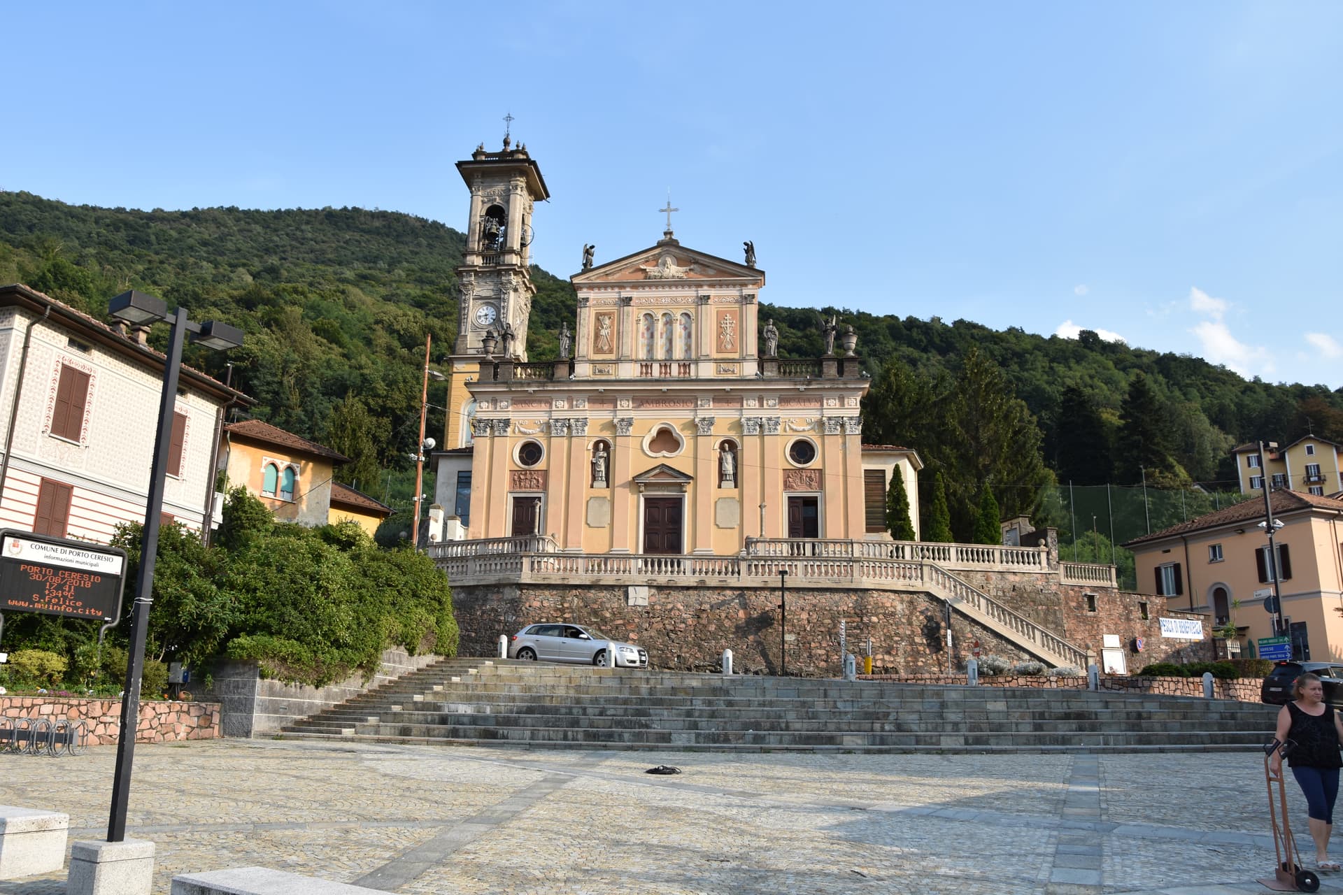
Porto Ceresio
Province: Varese
The Italian port at the southern end of Lake Lugano, where the Swiss border runs through the water below Monte San Giorgio.

Angera
Province: Varese
A lake-Maggiore town on the southern shore, anchored by the Rocca Borromea — a 13th-century fortified castle the Borromeo family has held since 1449 — with a frescoed Justice Hall and a continuous prehistoric-to-medieval museum trail above the waterfront.
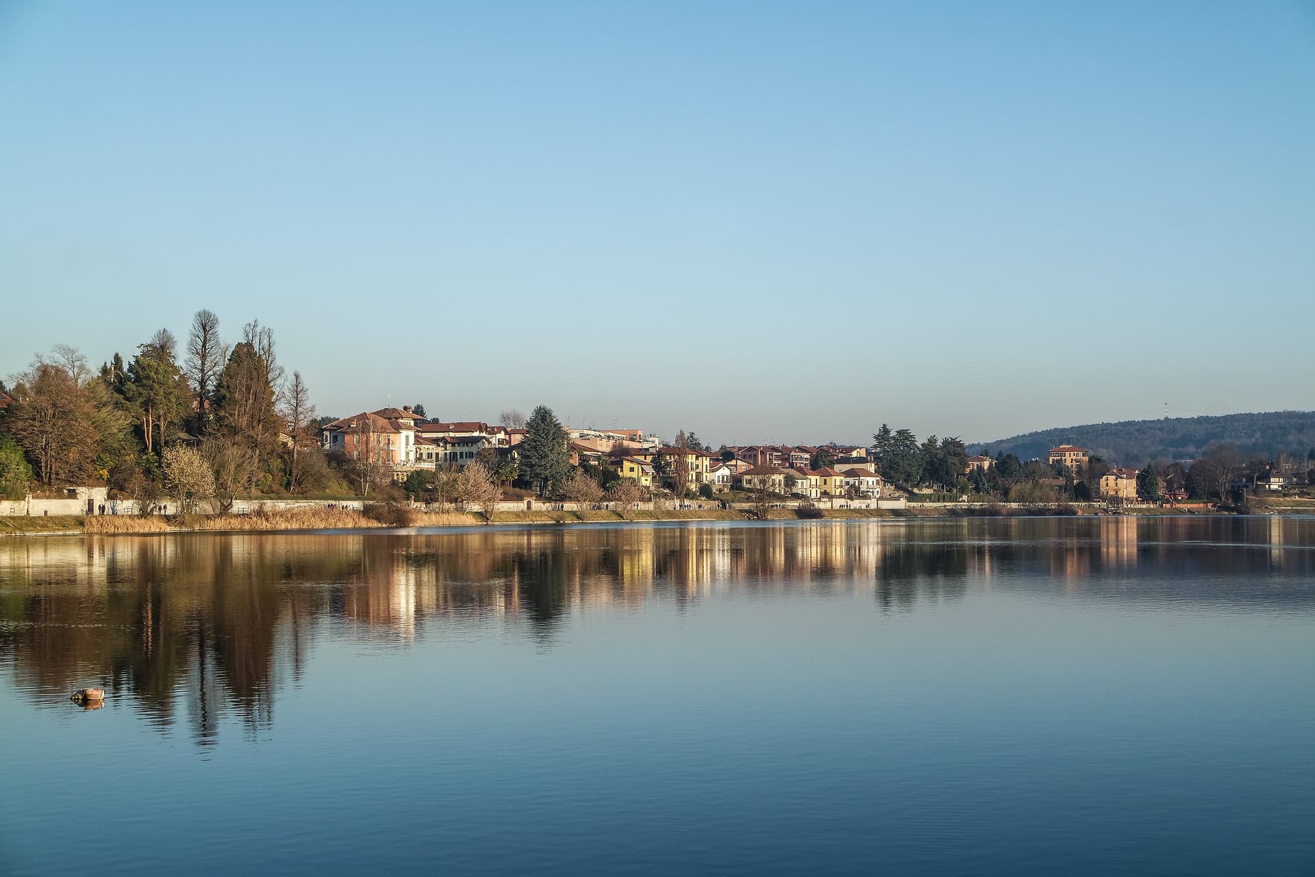
Sesto Calende
Province: Varese
The town at the southern tip of Lake Maggiore where the Ticino starts toward the Po, the type site of the pre-Roman Golasecca culture.
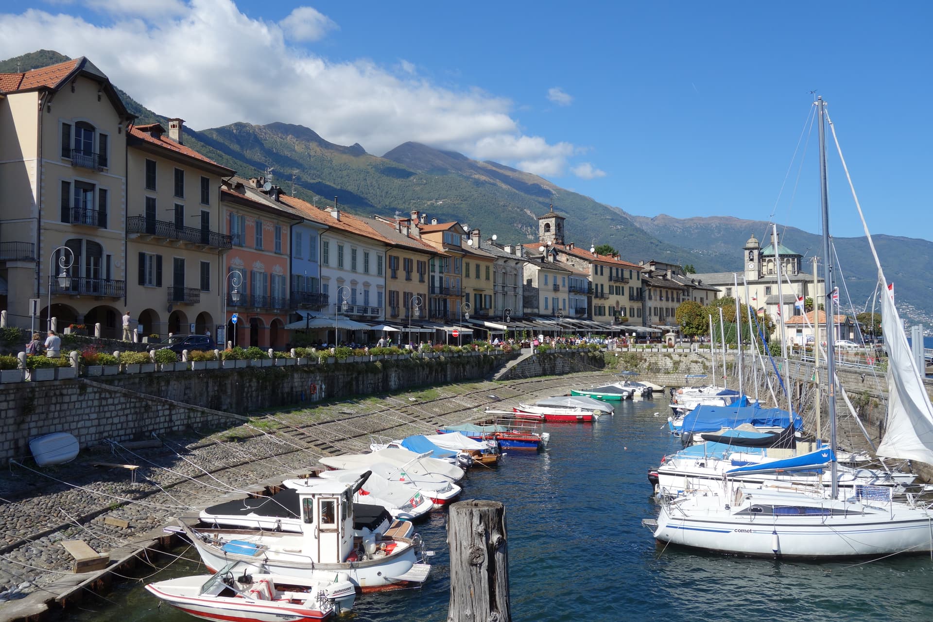
Cannobio
Province: Verbano-Cusio-Ossola
A medieval lake town at 214 meters on Maggiore's western shore, host to one of the largest Sunday markets on the lake.