

Marche · Ancona
Loreto
A hilltop pilgrimage town above the Adriatic where, since 1294, the Marian sanctuary has guarded the Holy House of Nazareth.
Known for
THE HOLY HOUSE
Three stone walls 9.5 by 4 meters, tradition says they belonged to the Virgin Mary's house in Nazareth, transported here in 1294.
BRAMANTE'S MARBLE
The marble revetment wrapping the Santa Casa was designed by Donato Bramante and carved by Sansovino, Sangallo and Antonio da Sangallo il Giovane.
LITANY OF LORETO
The Marian invocations recited across the Catholic world take their name from this sanctuary, where the form was fixed by the late sixteenth century.
When to visit
Best · May–Sep
- J
- F
- M
- A
- M
- J
- J
- A
- S
- O
- N
- D
- Best
- Hot or crowded
- Quiet
- Mostly closed
The festa: Maria, 8 September
Why come
Loreto sits on the right bank of the Musone, twenty-two kilometers southeast of Ancona and four from the Adriatic. According to tradition, on the night between 9 and 10 December 1294 angels carried the Holy House of the Virgin from Nazareth to a laurel grove on this hill, after a brief stop in Illyria following the Crusader expulsion of 1291. Historical sources note that the Angeli were a Despot family of Epirus who organized the translation by sea.
The three stone walls of the Santa Casa, 9. 5 by 4 meters, stand at the heart of the Basilica della Santa Casa, built between 1469 and 1587 over and around them. Bramante designed the marble revetment that wraps the house; Sansovino, Sangallo and Antonio da Sangallo il Giovane all worked on the building. Around four million pilgrims arrive each year, making Loreto one of the principal Marian sanctuaries in Catholic Europe and the source of the Litany of Loreto.
The Sunday letter
We haven’t written Loreto’s letter yet.
One town every Sunday, with the photo, the food, the festa. Be there when this one comes up. Free, by Peter & Sophia from Pietrasanta.
By subscribing you agree to Substack’s Terms of Use, our Privacy Policy and our Information collection notice.
What to see
Basilica della Santa Casa
Built between 1469 and 1587 around the three walls of the Holy House from Nazareth, with contributions from Bramante, Sansovino and the Sangallo family.
Santa Casa
The 9.5 by 4 meter stone house of Mary at the heart of the basilica, wrapped in Bramante's marble revetment, focus of pilgrimage since 1294.
Piazza della Madonna
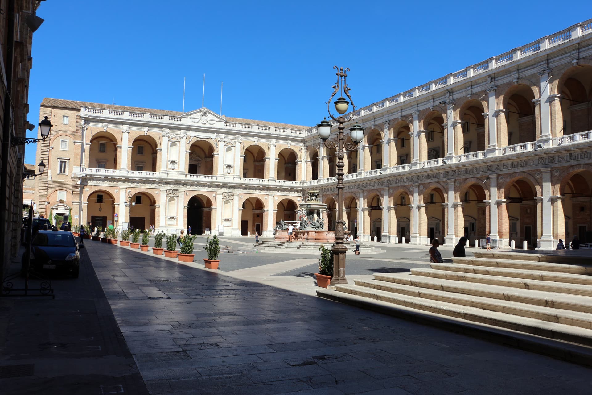
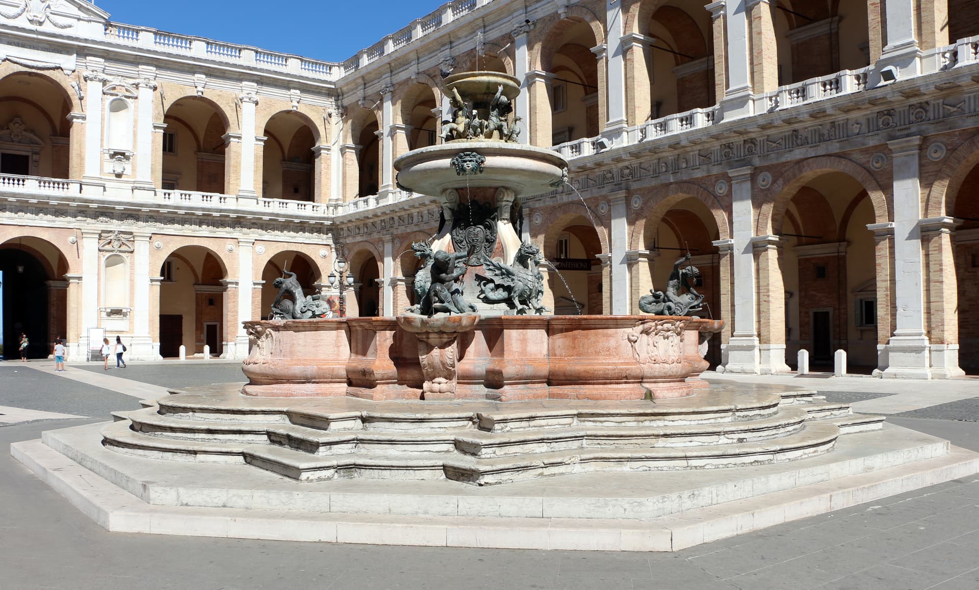
The main square in front of the basilica, enclosed by the Palazzo Apostolico of Bramante and Sansovino, holds the Fontana Maggiore of Carlo Maderno.
Museo Pontificio Santa Casa
Inside the Palazzo Apostolico, holds tapestries on Raphael cartoons, paintings by Lorenzo Lotto, and ex-voto offerings from centuries of pilgrims.
Cinta muraria
Fifteenth and sixteenth-century walls and bastions built to protect the sanctuary, with the Porta Romana as the historic pilgrim entrance.
The slow-trip planner
Building a trip? Find where Loreto fits in a slow Italy circuit.
Answer five questions. We will shape a geographically coherent slow trip from the 1,000 Italian towns most travelers skip. Yours to save and share.
We recommend
Where to eat and stay
Not our picks, but places the guides put their name to — a Michelin star, a Gambero Rosso fork, a Slow Food snail, a Michelin Key for the hotels. Worth a table, a counter, or a night when you pass through.
Living here
- Population 12,899
- Commuter belti
- Pharmacy in town
- High school within a 30-minute drive
- Train station in the comune
- Nearest airport Ancona / Pescara, 33 min drive
- Regional capital Ancona, 28 min drive
Tags & datadesignations · numbers · sources
The numbers
- Elevation: 127 m
- Population: 12,899
- Surface area: 17.9 km²
These figures were compiled from public directories — ISTAT, OpenStreetMap, Wikidata — and from the official listings of the guides named on this page. Town details change; verify with official sources before you travel.
Close by
More towns near Loreto
Numana
Province: Ancona
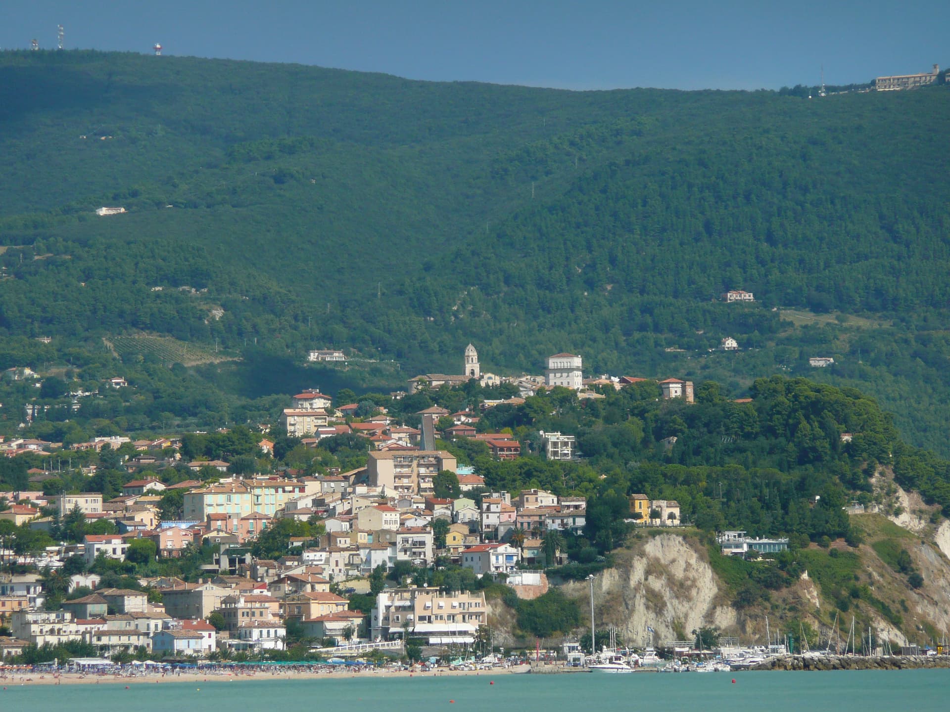
A Conero coastal town at 56 meters above its port, the Picene harbour that traded with Greek ships from the sixth century BC.
Recanati
Province: Macerata
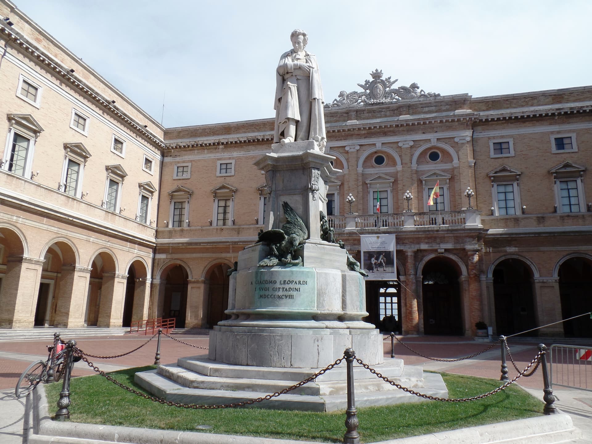
The hill town at 296 meters where Giacomo Leopardi was born in 1798 and wrote L'Infinito looking over the Musone valley toward the Adriatic.
Montelupone
Province: Macerata
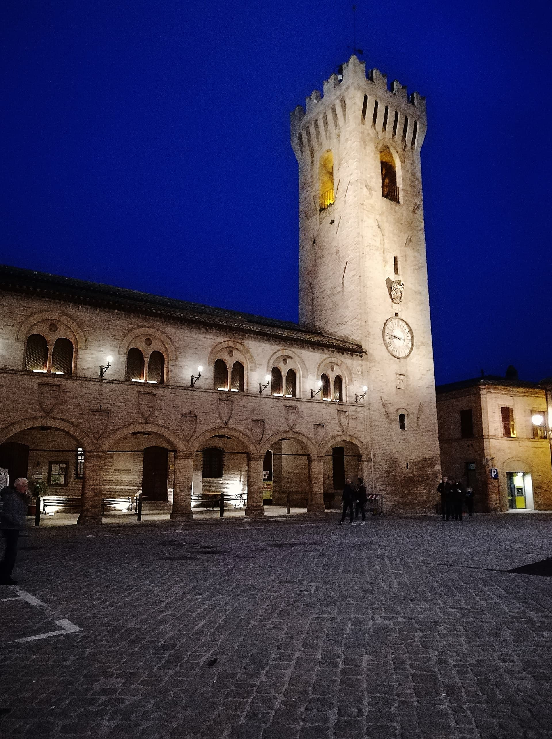
A walled hill borgo at 272 meters above the lower Potenza valley, with a fourteenth-century civic loggia and a 1889 horseshoe theatre.
Sirolo
Province: Ancona
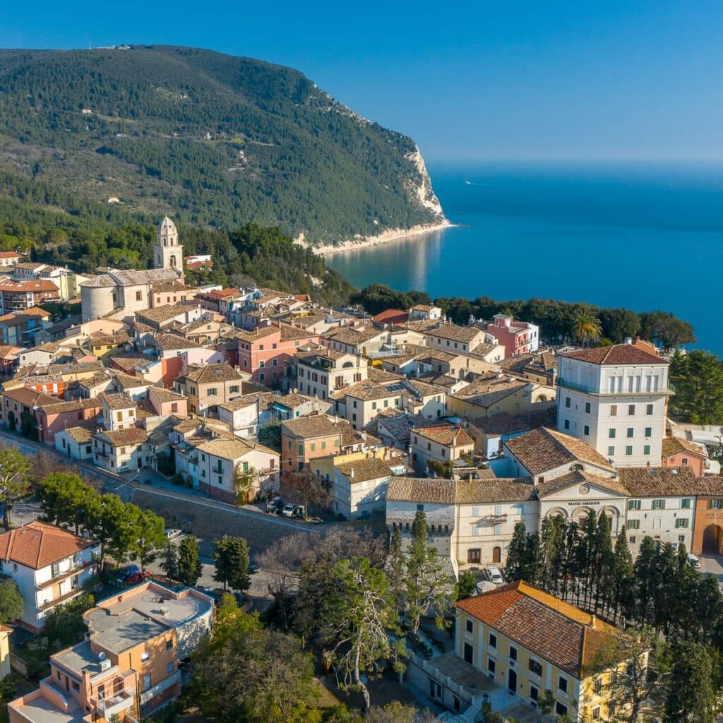
A clifftop borgo at 125 meters on the southern flank of Monte Conero, above the Due Sorelle sea stacks of the Adriatic.
Montecassiano
Province: Macerata
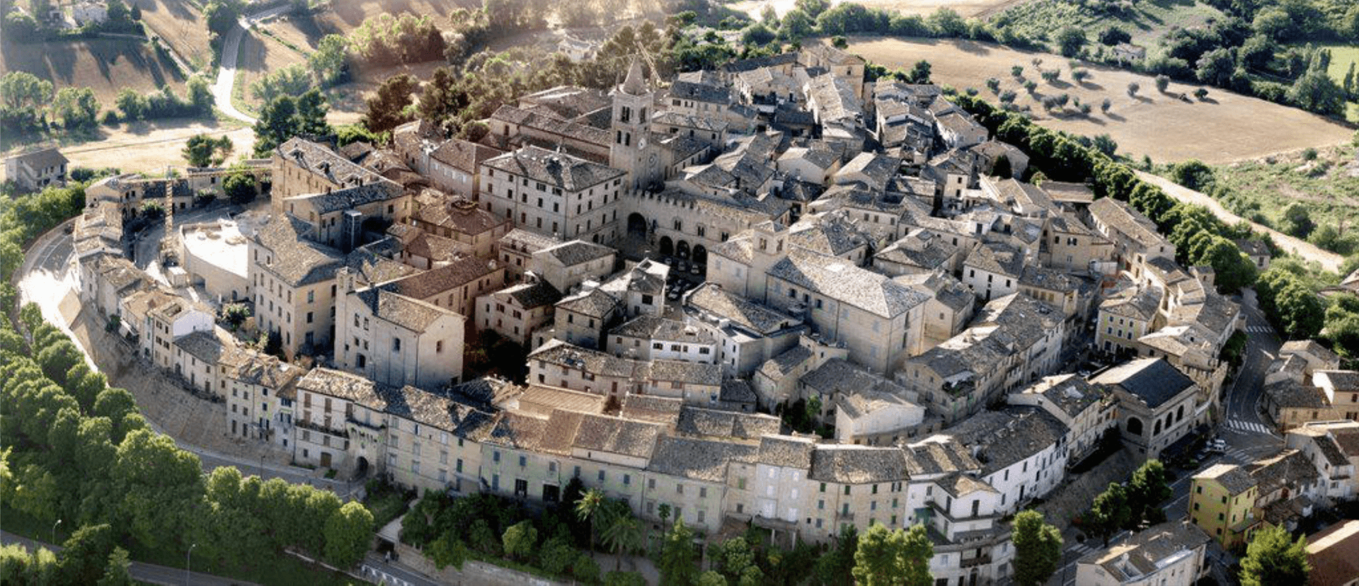
A walled hill borgo at 188 meters north of Macerata, holding the seven-meter terracotta altarpiece Mattia della Robbia fired in a kiln built in town.