
Molise · Isernia
Isernia
A provincial capital on a 423-meter rock spine, with a Paleolithic site dated 700,000 years and a thirteenth-century public fountain.
Known for
LA PINETA
Paleolithic site with tools and remains dated to 700,000 years ago, one of the oldest documented human settlements in Europe.
FONTANA FRATERNA
Thirteenth-century fountain with six jets behind a stone arcade, the architectural emblem of the old town.
WHITE TRUFFLE
Tartufo bianco harvested in the surrounding woods, the basis of the city's Città del Tartufo designation.
When to visit
Best · Apr–Oct
- J
- F
- M
- A
- M
- J
- J
- A
- S
- O
- N
- D
- Best
- Hot or crowded
- Quiet
- Mostly closed
The festa: papa Celestino V, 19 May
Why come
Isernia stands on a narrow rock spine between two rivers, 423 meters above sea level, in the upper Volturno valley. The hill is one of the oldest inhabited places in Europe. The archaeological site of Isernia La Pineta has yielded tools and animal bones dated to about 700,000 years ago and the milk tooth of a child who lived 583,000 years ago.
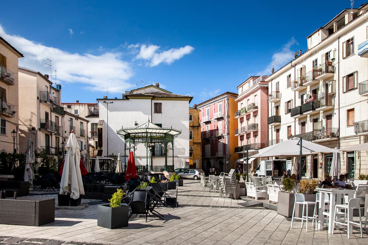
The Pentri Samnites built Aesernia here in the seventh century BC; Rome took it in 295 BC and founded a Latin colony in 264 BC. The medieval city replaced the Roman streets with its own grid, and in 1240 the public Fontana Fraterna went up in the centro storico, six water jets behind a stone arcade made of repurposed Roman blocks. The Cattedrale di San Pietro Apostolo, built from 1349 on the foundations of a Samnite-era temple, sits a short walk away. Isernia carries the Città del Tartufo mark for the white truffle harvested in the surrounding woods.
The Sunday letter
We haven’t written Isernia’s letter yet.
One town every Sunday, with the photo, the food, the festa. Be there when this one comes up. Free, by Peter & Sophia from Pietrasanta.
By subscribing you agree to Substack’s Terms of Use, our Privacy Policy and our Information collection notice.
What to see
Museo Nazionale del Paleolitico (Isernia La Pineta)
Archaeological site and museum showing tools and bones dated to 700,000 years ago, one of the oldest human sites in Europe.
Fontana Fraterna
Thirteenth-century public fountain with six water jets behind a stone arcade, made of repurposed Roman blocks.
Cattedrale di San Pietro Apostolo
Cathedral begun in 1349 on the foundations of a third-century-BC Italic temple, seat of the Bishop of Isernia-Venafro.
Centro storico
Narrow medieval grid along the rock spine, walking the route between Roman, Samnite, and medieval layers.
Mura sannitiche
Surviving stretches of pre-Roman polygonal walls visible at the edges of the old town.
The slow-trip planner
Building a trip? Find where Isernia fits in a slow Italy circuit.
Answer five questions. We will shape a geographically coherent slow trip from the 1,000 Italian towns most travelers skip. Yours to save and share.
We recommend
Where to eat and stay
Not our picks, but places the guides put their name to — a Michelin star, a Gambero Rosso fork, a Slow Food snail, a Michelin Key for the hotels. Worth a table, a counter, or a night when you pass through.
AusaVegetariano
Ausa carries a Gambero Rosso listing.
Distinto RistoranteRistorante
Distinto Ristorante holds one Gambero Rosso fork (79/100).
Existo Osteria MolisanaTrattoria
Existo Osteria Molisana holds two Gambero Rosso prawns.
Nonna sul comòTrattoria
Nonna sul comò holds one Gambero Rosso prawn.
Radici Food ExperienceRistorante
Radici Food Experience carries one Gambero Rosso fork (77/100).
Sorsi e MorsiRistorante
Sorsi e Morsi holds a Gambero Rosso listing.
Living here
- Population 20,617
- Off the beaten pathi
- Pharmacy in town
- High school within a 30-minute drive
- Train station in the comune
- Nearest airport Naples / Salerno, 1 h 38 min drive
- Regional capital Campobasso, 56 min drive
Tags & datadesignations · numbers · sources
Recognised as
The numbers
- Elevation: 423 m
- Population: 20,617
- Surface area: 69.15 km²
These figures were compiled from public directories — ISTAT, OpenStreetMap, Wikidata — and from the official listings of the guides named on this page. Town details change; verify with official sources before you travel.
Close by
More towns near Isernia
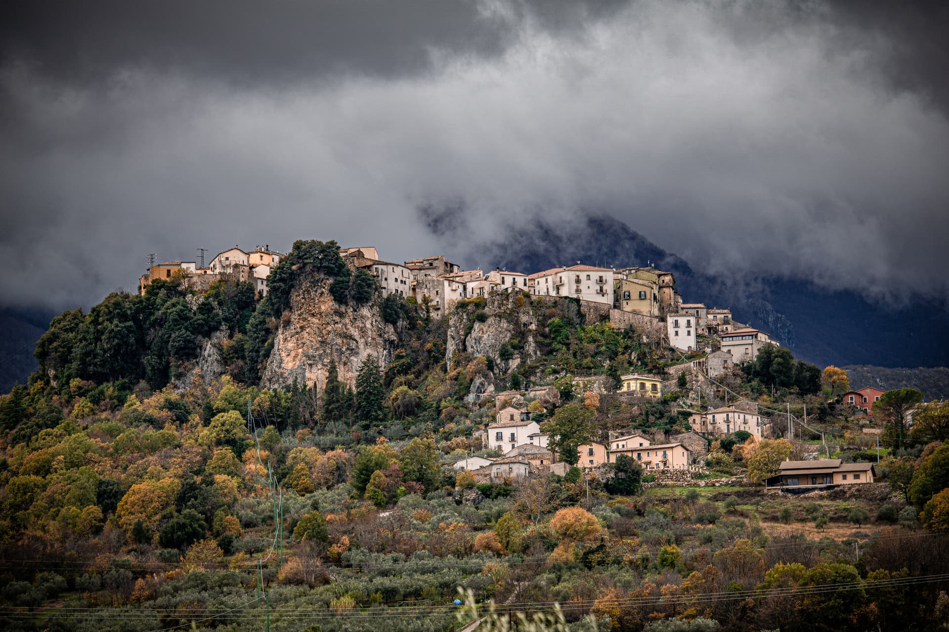
Fornelli
Province: Isernia
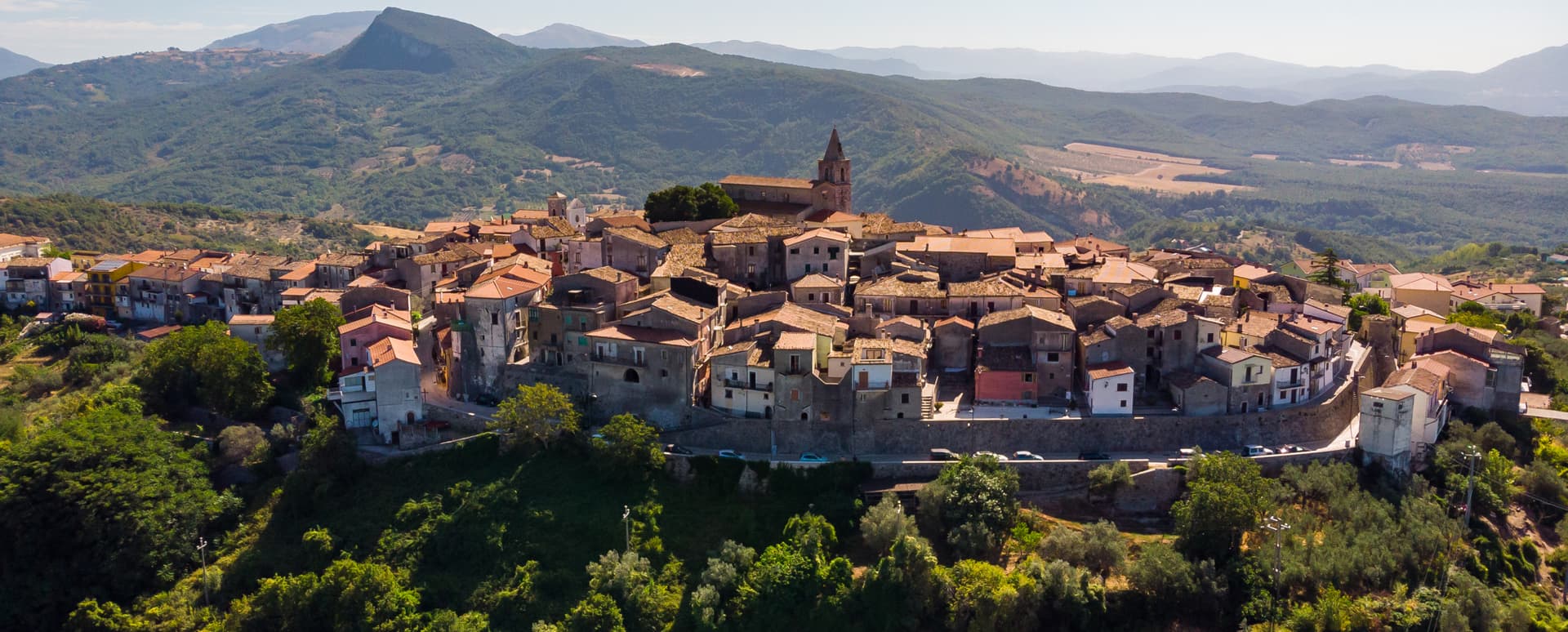
A walled medieval borgo at 530 meters with seven towers and the birthplace of Nancy Pelosi's mother, eight kilometers west of Isernia.
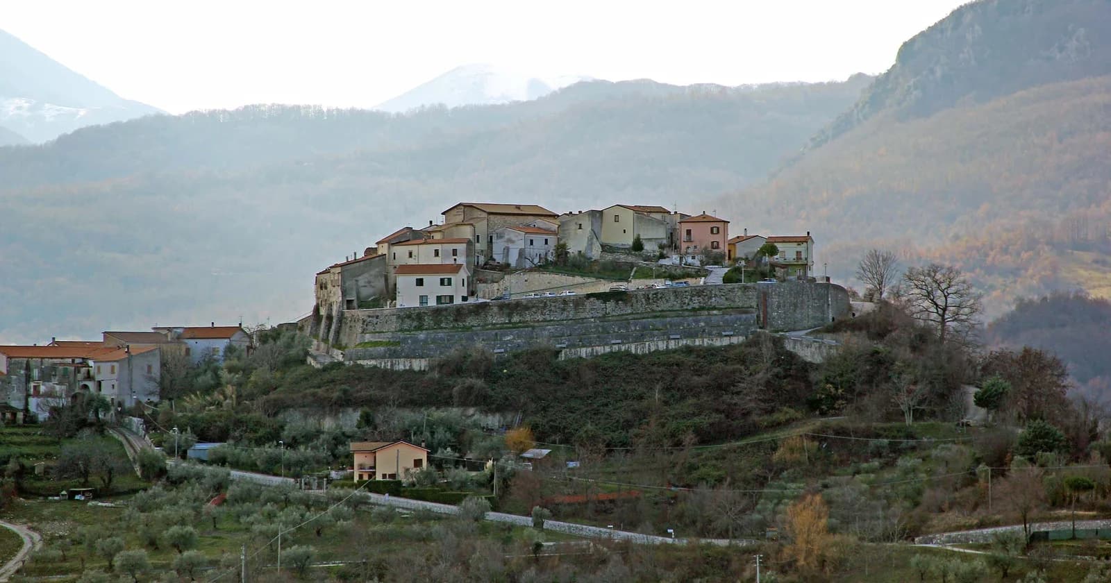
Castel San Vincenzo
Province: Isernia
A 749-meter village near the Volturno source, sharing ground with one of medieval Europe's most powerful abbeys and a ninth-century frescoed crypt.
Scapoli
Province: Isernia
Italy's zampogna bagpipe capital — a 586-resident borgo in the Mainarde at 668m, with a centuries-old tradition of hand-building the zampogna (Italian bagpipe), an annual International Bagpipe Festival in July drawing players from Galicia, Scotland, Bulgaria, and 15+ other countries, and the Bandiera Arancione + Abruzzo, Lazio e Molise national park signals.
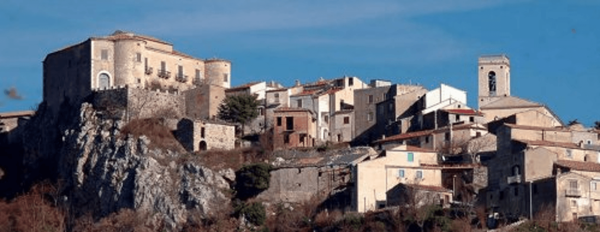
Macchiagodena
Province: Isernia
Molise's white truffle capital — a 1,648-resident hilltop borgo at 868m in the Apennine middle Molise, with the Castello dei Pignatelli on the summit, intact medieval streets, and 30+ active truffle hunters working the surrounding oak forests with the local Molise white truffle harvest October-December.
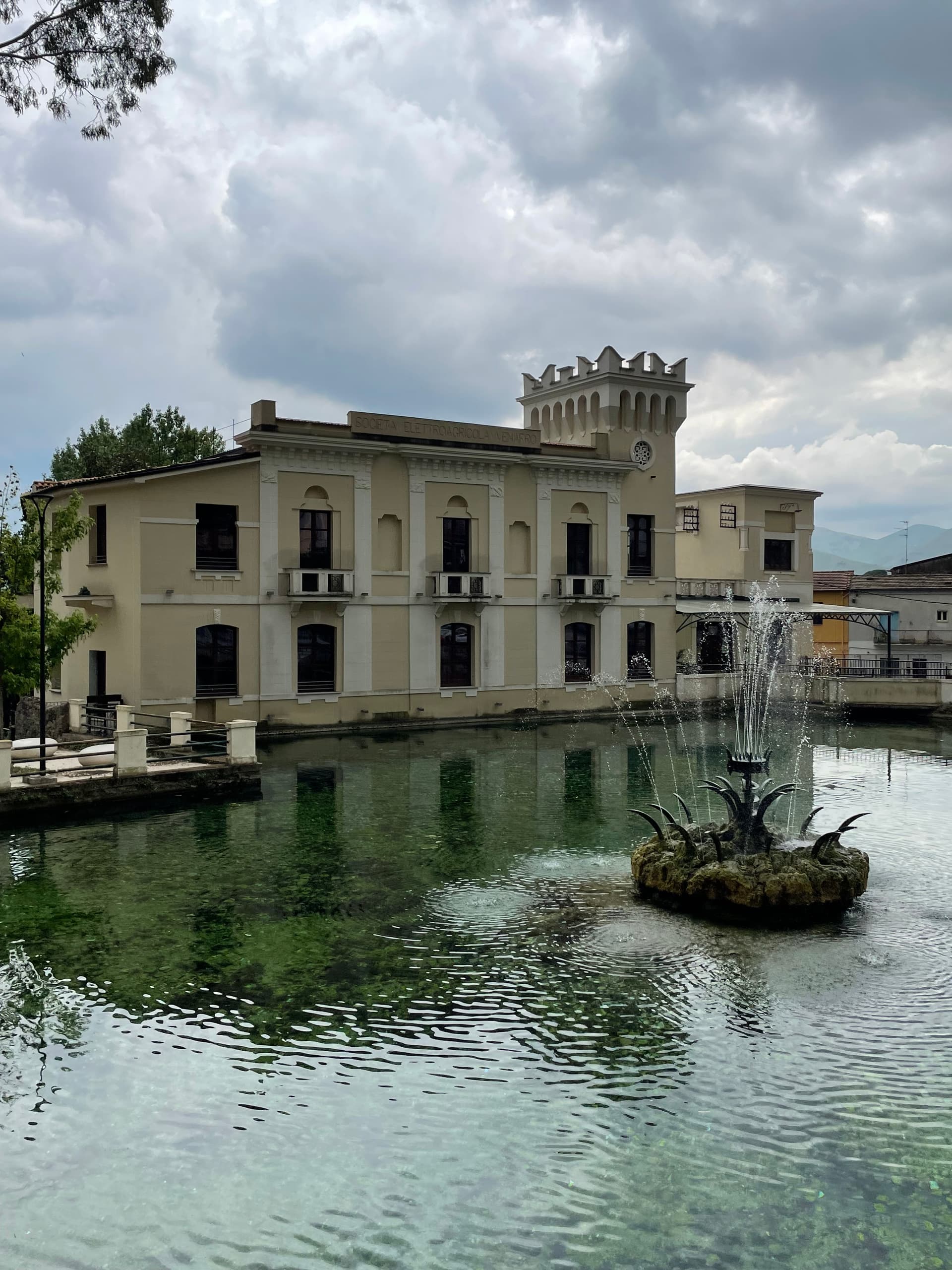
Venafro
Province: Isernia
A 222-meter town near the Lazio border where Augustus founded a colony and Pliny called the olive oil the best in the Roman Empire.
🌲 Parco Nazionale
More Parco Nazionale towns in Molise
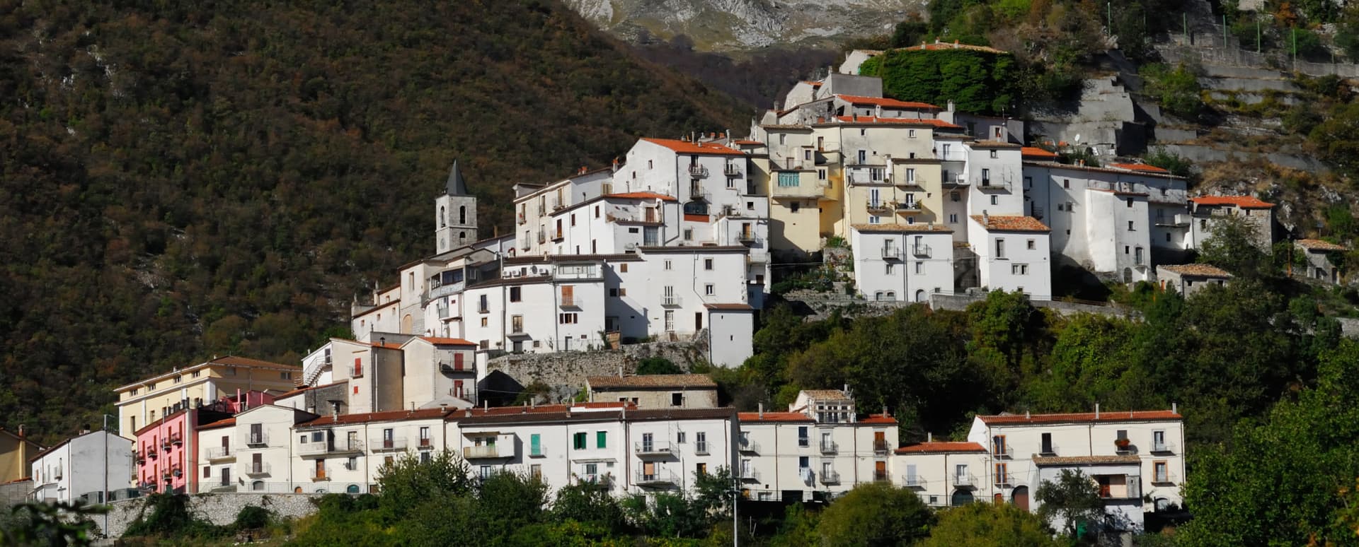
Pizzone
Province: Isernia
A 313-person Mainarde village at 724 meters in the Molise sector of the Abruzzo, Lazio and Molise National Park, above the Volturno springs.
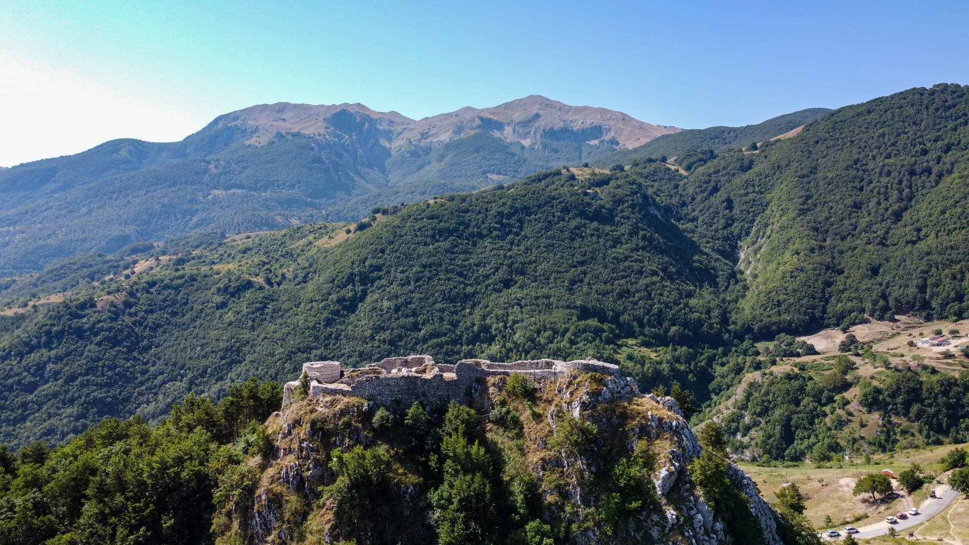
Roccamandolfi
Province: Isernia
At 850 meters at the foot of Monte Miletto, a Matese village of brigand legends, Lombard ruins, and a Tibetan bridge over the Callora canyon.
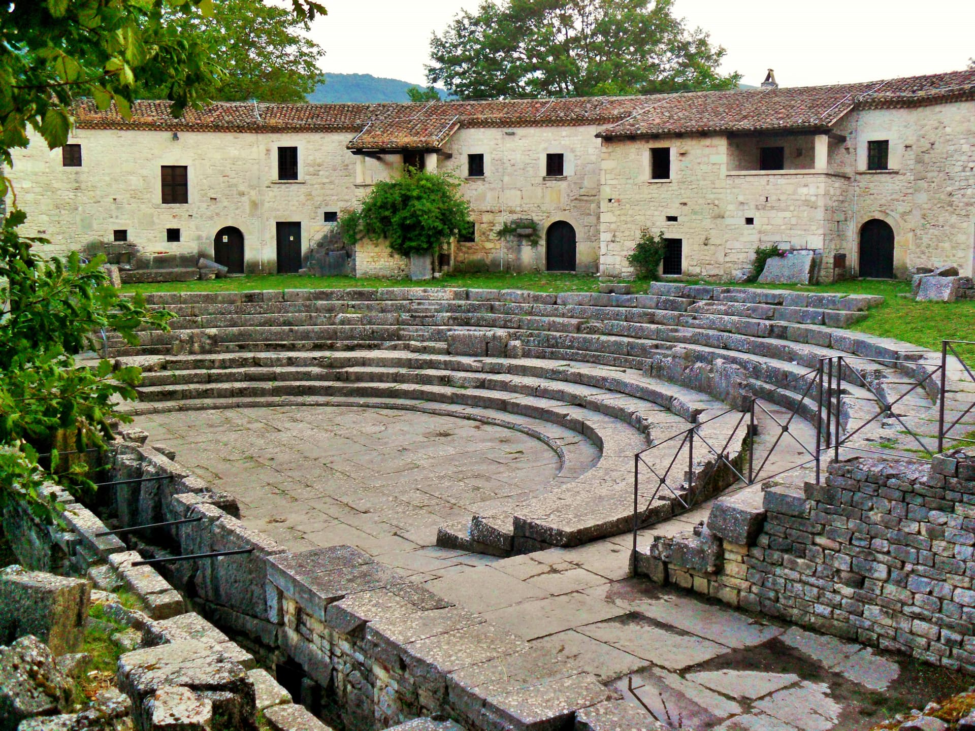
Sepino
Province: Campobasso
A hilltop borgo at 698 meters at the foot of the Matese, two kilometers above the Roman Saepinum, the open-air city the sheep tracks built.