
Liguria · Genova
Camogli
A fishing village on the Golfo Paradiso whose nineteenth-century fleet of a thousand white sails made it Italy's third maritime power in the Mediterranean.
Known for
A THOUSAND WHITE SAILS
The nineteenth-century merchant-sailing fleet that made Camogli Italy's third maritime power in the Mediterranean.
SAGRA DEL PESCE
Second Sunday of May, thirty thousand portions of fish fried in a single giant pan on the wharf, in honor of San Fortunato.
SAN FRUTTUOSO
Eleventh-century Benedictine abbey in the next cove, reachable by boat or by foot across the Portofino peninsula.
When to visit
Best · Apr–Oct
- J
- F
- M
- A
- M
- J
- J
- A
- S
- O
- N
- D
- Best
- Hot or crowded
- Quiet
- Mostly closed
Why come
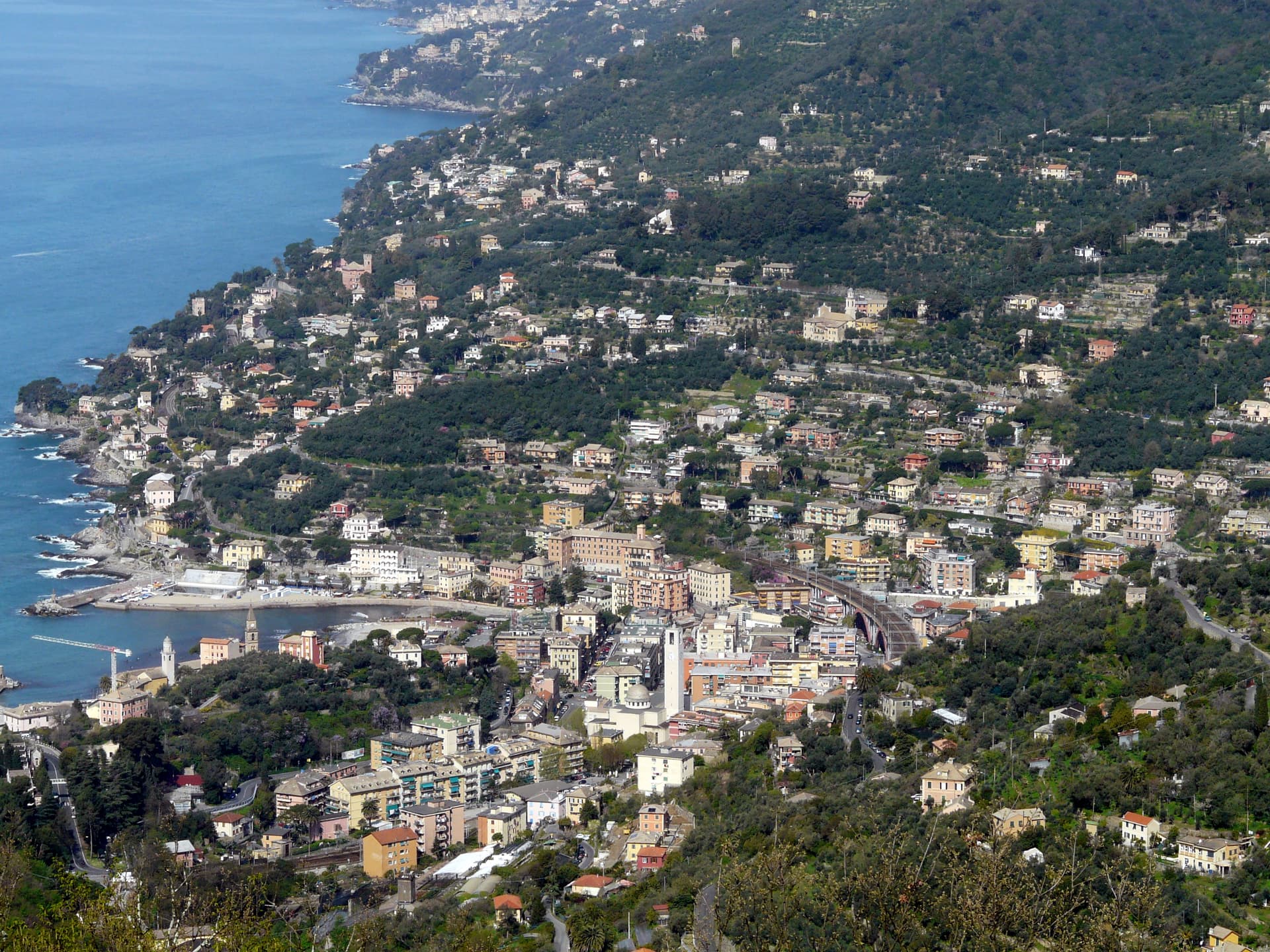
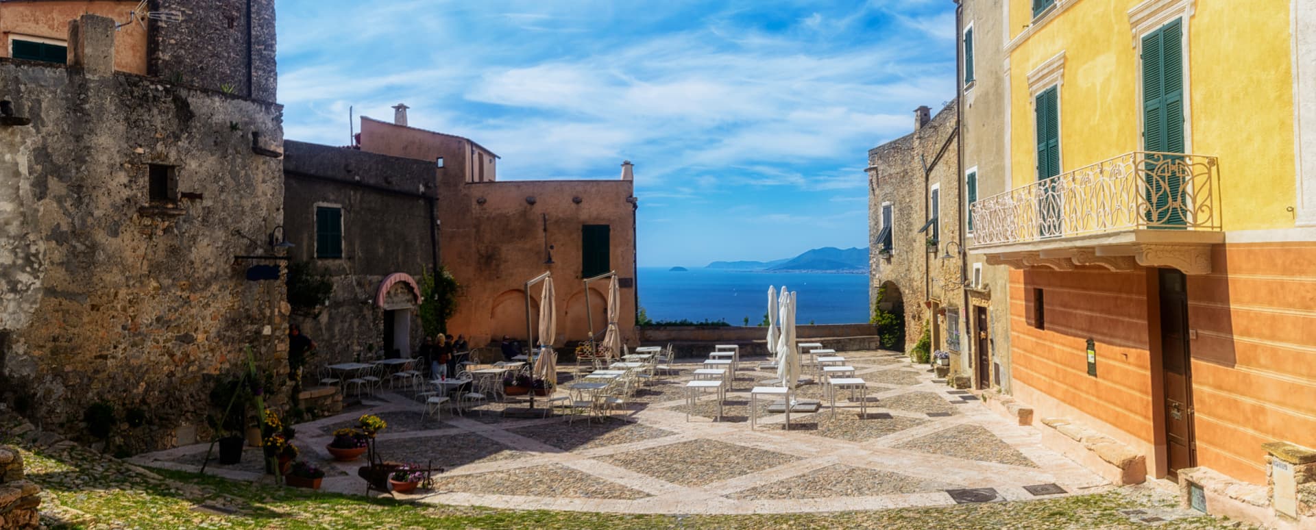
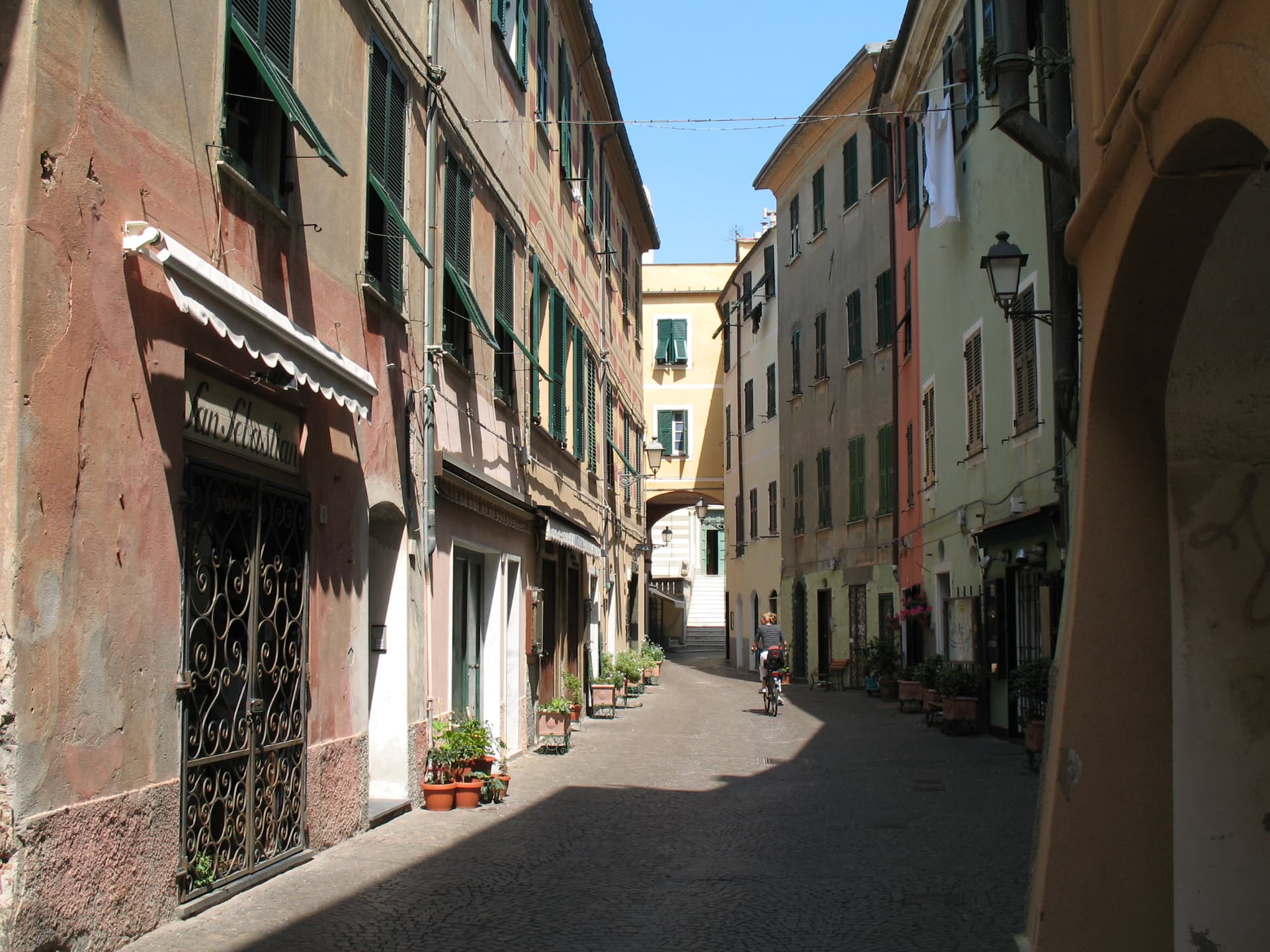
Camogli sits on the west side of the Portofino peninsula, twenty kilometers from Genova on the Golfo Paradiso. The earliest record dates to the tenth century, when it was already a tuna and shrimp fishing port. By the nineteenth century, the town's fleet of merchant sailing ships ran to several hundred vessels and Camogli was called the city of a thousand white sails.
After the naval defeat at Abukir against the British, the camogliesi shipowners reinvested in building merchant sailers under contract to the major European states. The painted façades of the seafront houses, with their false windows and trompe-l'oeil cornices, served the returning sailors as recognition marks from sea. The Castello della Dragonara, built in the thirteenth century, still guards the harbor.
Every second Sunday of May, the Sagra del Pesce fries thirty thousand portions of fish in a single giant pan on the wharf, in honor of San Fortunato. San Fruttuoso, the eleventh-century abbey reachable by boat or trail, sits in the next cove.


What to see
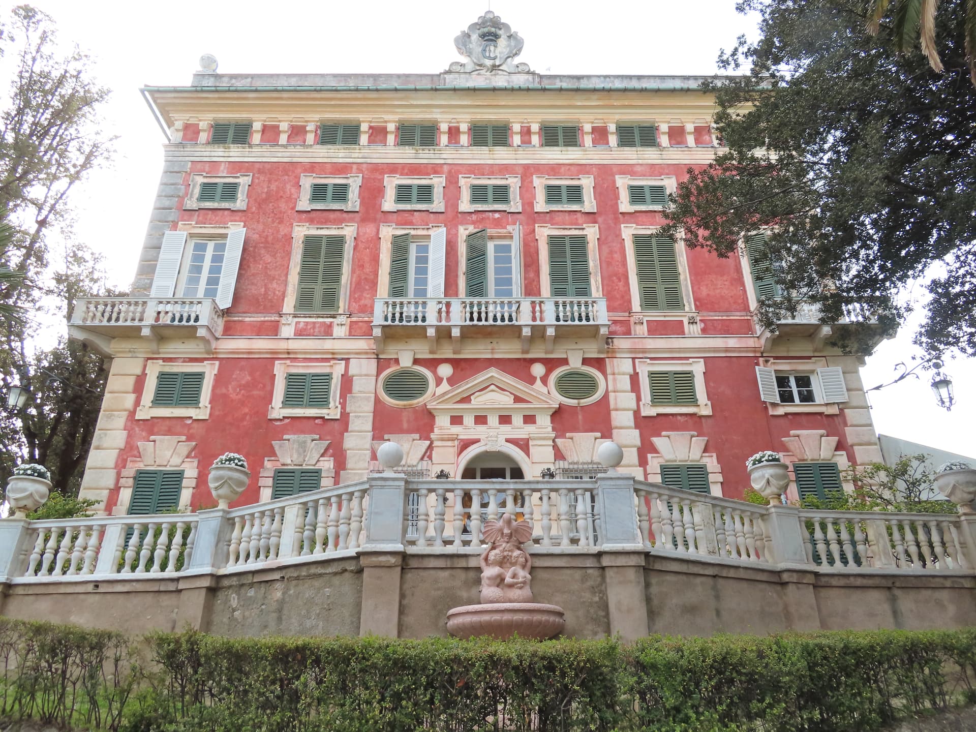
Castello della Dragonara
Thirteenth-century fortress guarding the harbor, used as municipal seat and now a venue for exhibitions and cultural events.
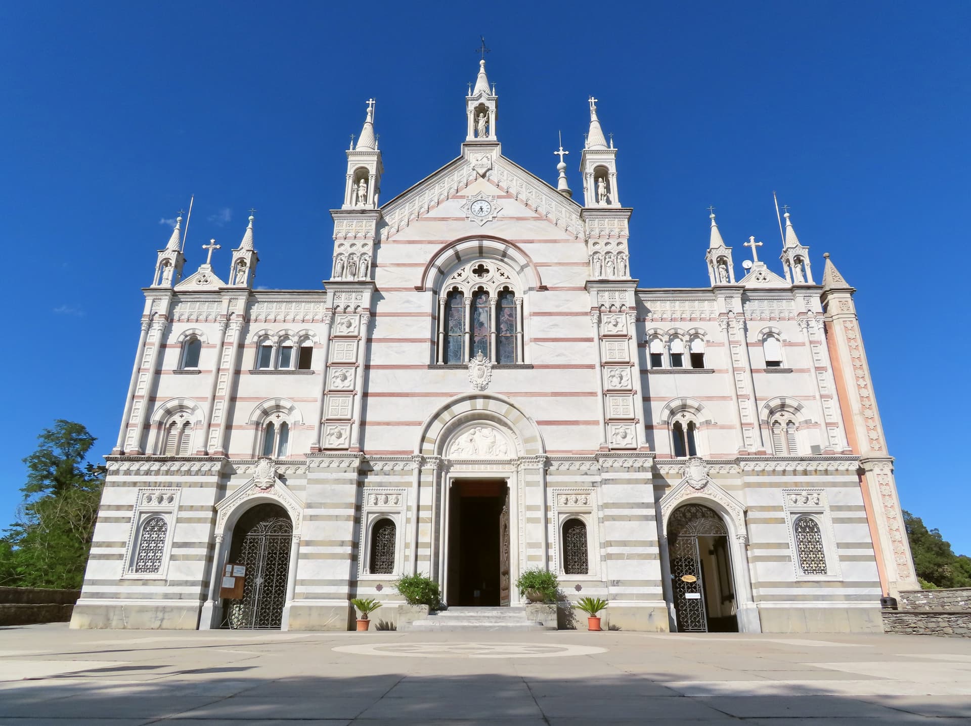
Basilica di Santa Maria Assunta
Parish basilica next to the castle on the harbor, baroque interior with marble inlays and seventeenth-century paintings.
Abbazia di San Fruttuoso
Eleventh-century Benedictine abbey in the next cove, reachable by boat or by the coastal trail across the Portofino peninsula.
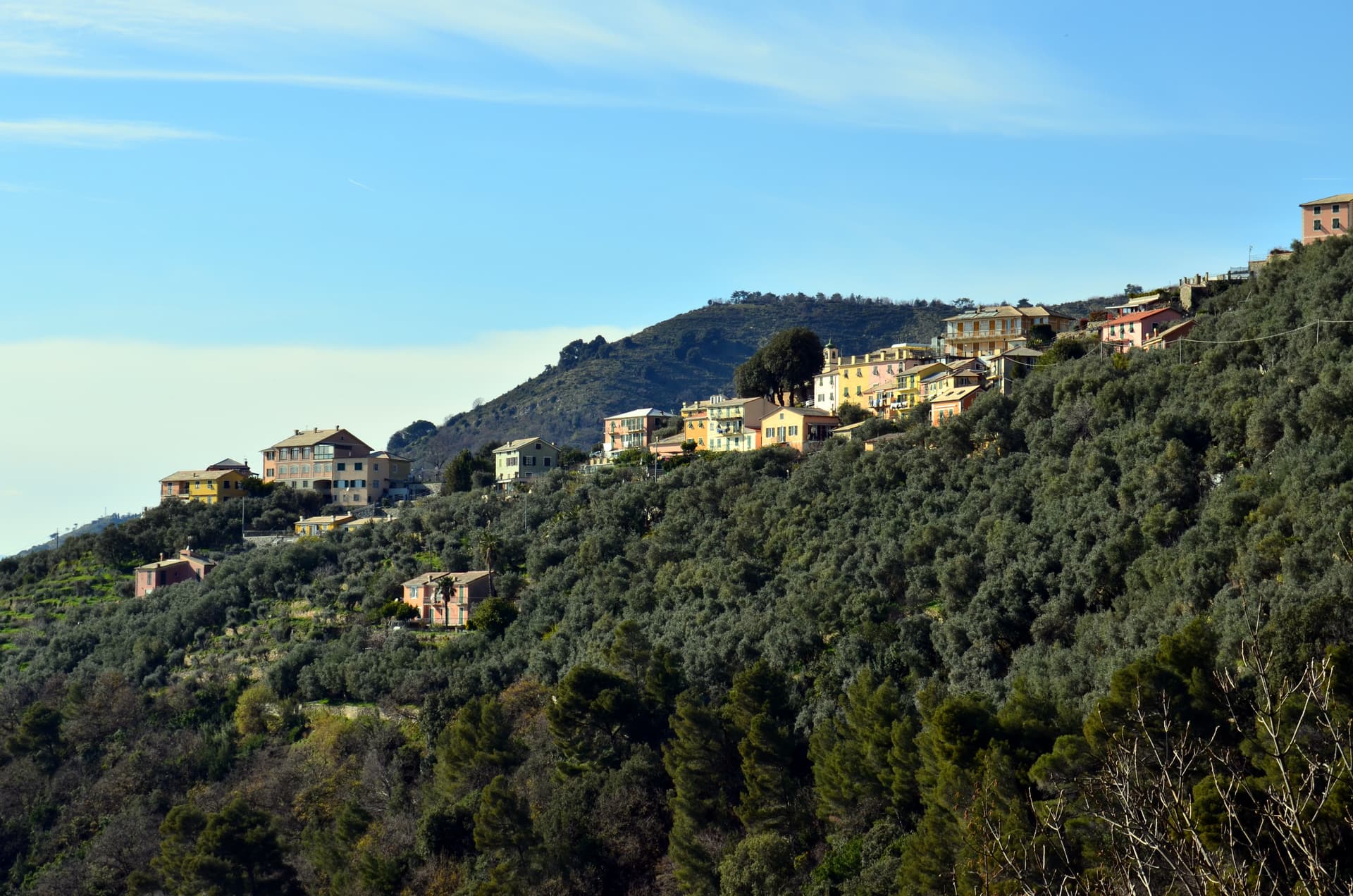
Punta Chiappa
Rocky promontory on the south side of the peninsula, with deep-water swimming and views back to the painted façades.
Parco naturale regionale di Portofino
Regional park covering the Portofino peninsula, with trails between Camogli, San Fruttuoso, Portofino and Santa Margherita.
The slow-trip planner
Building a trip? Find where Camogli fits in a slow Italy circuit.
Answer five questions. We will shape a geographically coherent slow trip from the 1,000 Italian towns most travelers skip. Yours to save and share.
The Sunday letter
Camogli got its letter. One town every Sunday, free — the photo, the food, the festa.
By subscribing you agree to Substack’s Terms of Use, our Privacy Policy and our Information collection notice.
Living here
- Population 4,977
- Commuter belti
- Pharmacy in town
- High school within a 30-minute drive
- Train station in the comune
- Nearest airport Genoa, 42 min drive
- Regional capital Genova, 33 min drive
Tags & datadesignations · numbers · sources
Recognised as
The numbers
- Elevation: 32 m
- Population: 4,977
- Surface area: 10.07 km²
These figures were compiled from public directories — ISTAT, OpenStreetMap, Wikidata — and from the official listings of the guides named on this page. Town details change; verify with official sources before you travel.
Featured on
Camogli appears on this themed pick from our Collections:
Close by
More towns near Camogli
Recco
Province: Genova
A coastal town on the Golfo Paradiso, rebuilt from 90 percent destruction in 1943 and known for IGP cheese focaccia and Pro Recco water polo.
Rapallo
Province: Genova
The largest town on the Tigullio gulf, twice the location of treaties that redrew borders in postwar Europe.
Bogliasco
Province: Genova
A fishing village on the Riviera di Levante just east of Genoa, built around a 13th-century stone bridge over the Bogliasco torrent and a tight grid of pastel-coloured houses opening onto a pebble cove.

Chiavari
Province: Genova
The Tigullio capital between Portofino and the Cinque Terre, a 27,000-person Genoese trading town built around a thirteenth-century grid of porticoed streets.
Santa Margherita Ligure
Province: Genova
The Tigullio town that kept its fishing port while the world drove past on the way to Portofino two kilometers further.
🟦 Bandiera Blu
More Bandiera Blu towns in Liguria
Borgio Verezzi
Province: Savona
Two villages joined under one comune in 1933: Borgio on the Bandiera Blu beach and Verezzi at 200 meters on the pink-stone hill above.
Celle Ligure
Province: Savona
A Riviera di Ponente beach town with kilns firing since the 1600s and a Lucio Fontana ceramic on the parish church façade.

Diano
Province: Imperia
A twin destination on the Riviera dei Fiori — the medieval hilltop borgo of Diano Castello above and the palm-fronted beach resort of Diano Marina below — sharing one Bay of Diano, one Taggiasca olive valley, and the longest Bandiera Blu beach in western Liguria.
Finale Ligure
Province: Savona
Three boroughs on the Gulf of Genoa, with walled Finalborgo as the Del Carretto seat and a Bandiera Blu beachfront below.

Framura
Province: La Spezia
Five hamlets between sea level and 300 meters on the Riviera di Levante, with Byzantine watchtowers built against Saracen incursions.