
Designation
Parco Regionale
199 towns across 19 regions
Browse by region
Abruzzo4
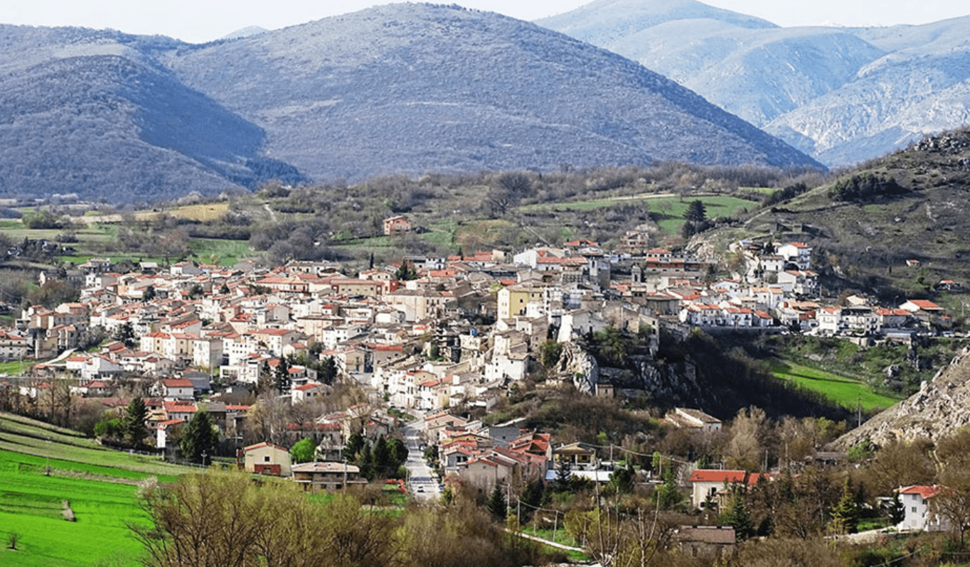
Castelvecchio Subequo
Province: L'Aquila · 409 m
At 409 meters under Monte Sirente, the Roman Superaequum and Franciscan station where the saint himself built a convent between 1221 and 1261.
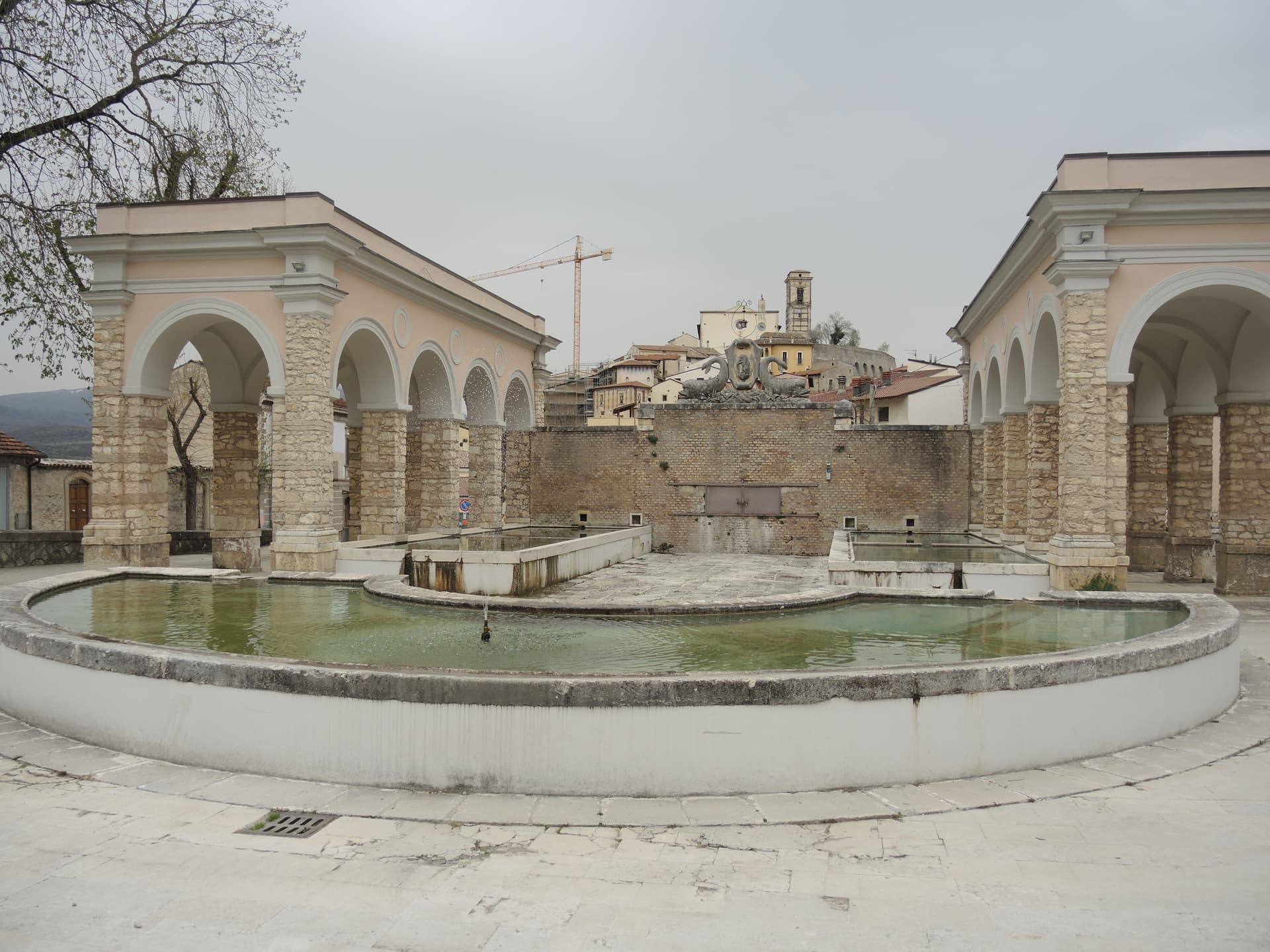
Goriano Sicoli
Province: L'Aquila · 720 m
At 720 meters in the Subequana valley, the medieval village M.C. Escher drew in 1929 and a May ritual the folklorists trace to Demeter.
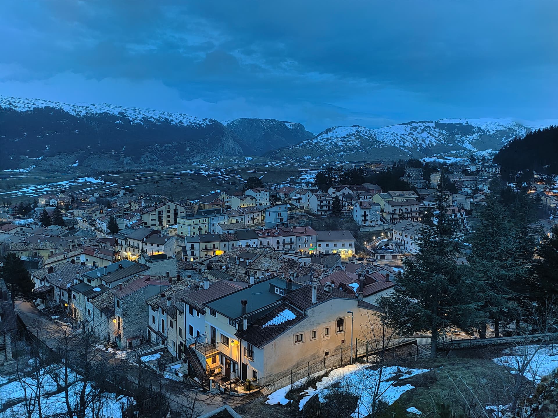
Ovindoli
Province: L'Aquila · 1,375 m
At 1,375 meters on the Altopiano delle Rocche, the closest serious ski station to Rome, working since 1959 on the slopes of Monte Magnola.
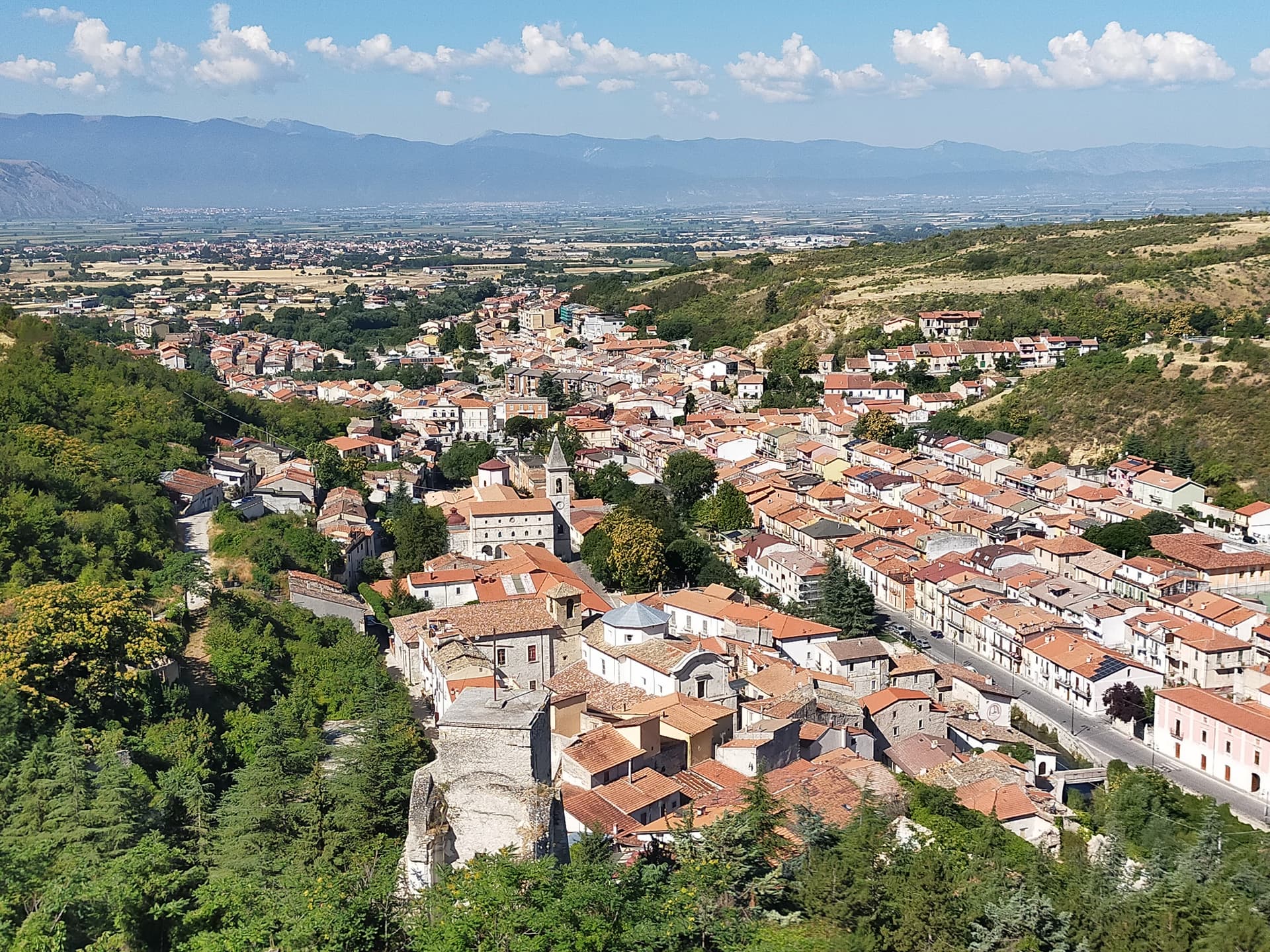
Pescina
Province: L'Aquila · 735 m
A Marsica town at 735 meters that lost five thousand of six thousand people in the 1915 earthquake, birthplace of Cardinal Mazarin and Ignazio Silone.
Apulia11
Castellaneta
Province: Taranto · 235 m
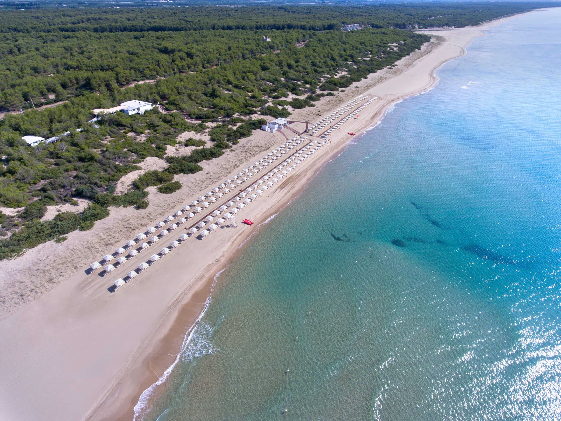
A cliff-edge Murge town at 235 meters above the Gravina Grande canyon, birthplace of Rudolph Valentino in 1895, with a Bandiera Blu Ionian marina.
Fasano
Province: Brindisi · 118 m
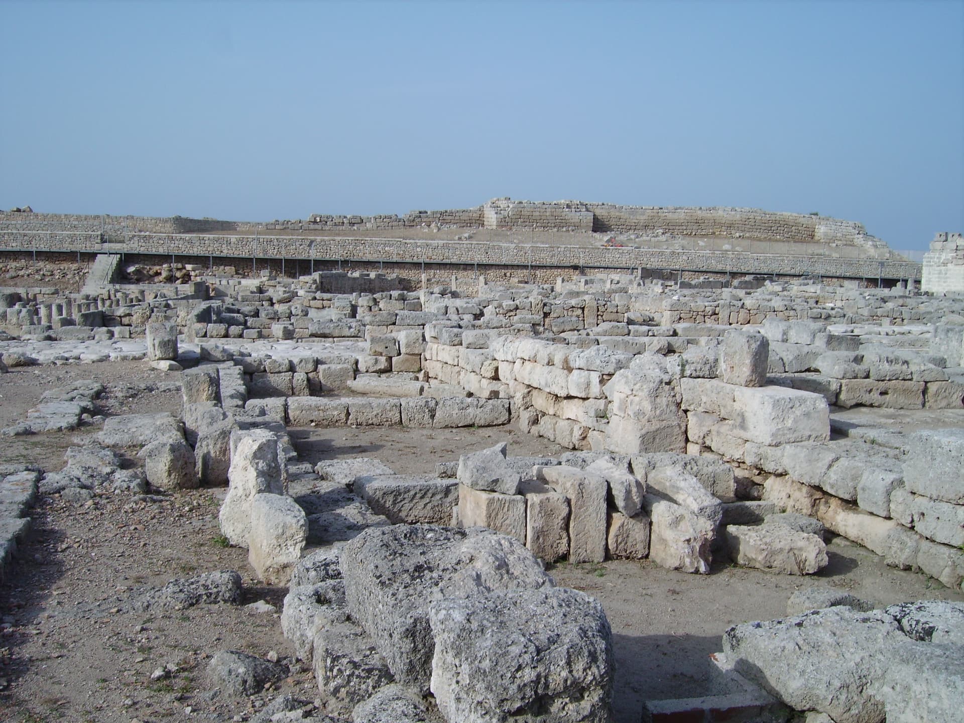
A Brindisi-province town from the Adriatic up to the Itria escarpment, holding the Roman ruins of Egnazia, the Selva, and Europe's second-largest safari park.
Gallipoli
Province: Lecce · 12 m
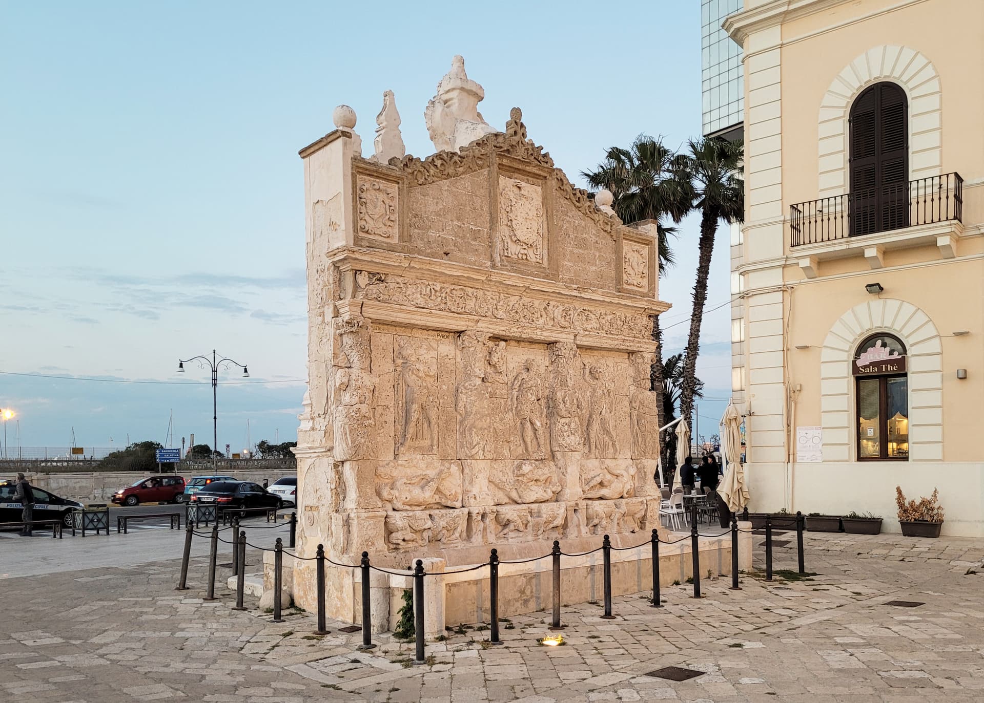
The Ionian beach city on a limestone island, Greek Kallipolis meaning beautiful city, tied to the mainland by a seventeenth-century bridge.
Lecce
Province: Lecce · 49 m
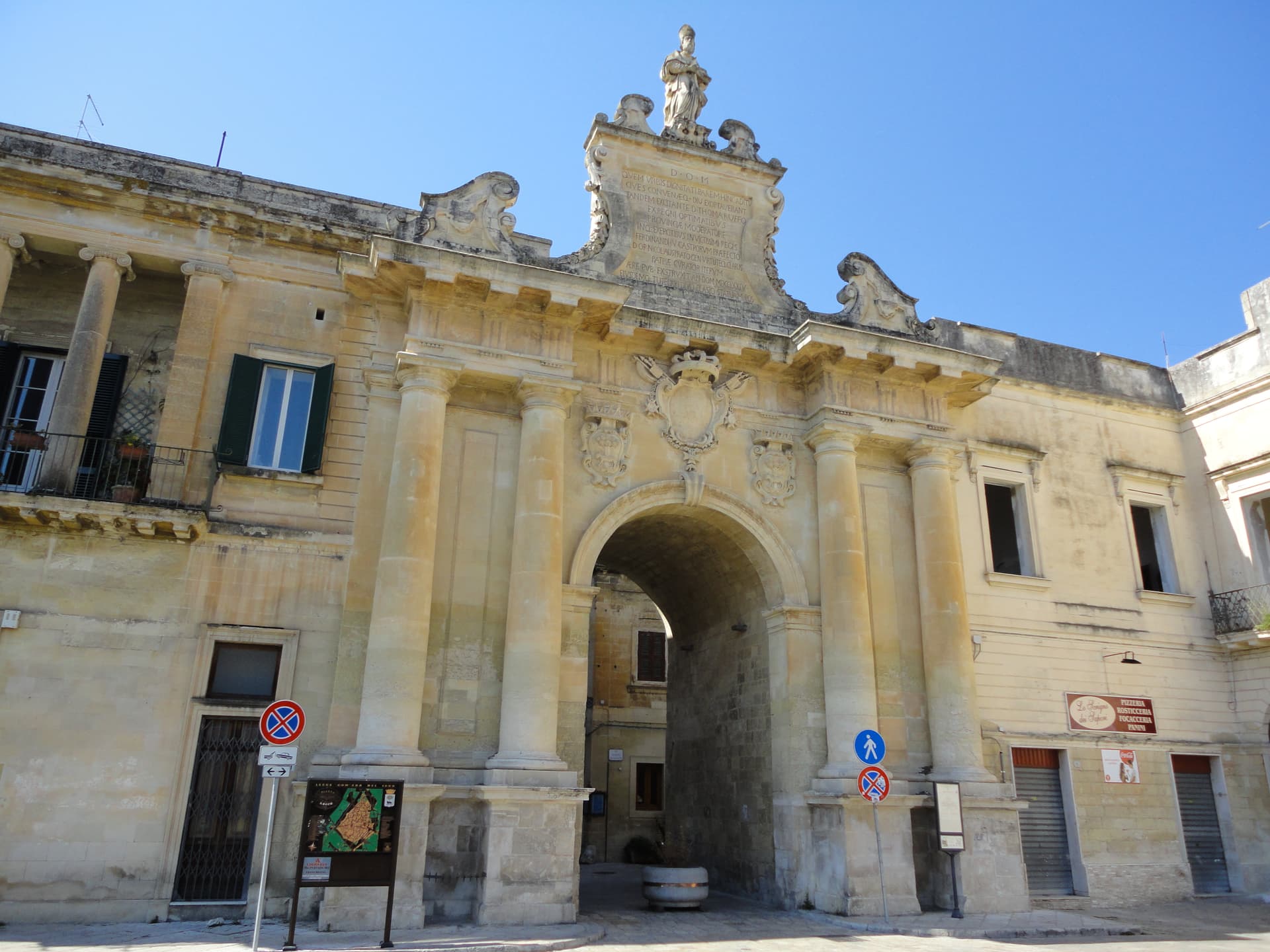
The Baroque capital of the Salento, ninety-four thousand people on the Lecce-stone plain, carving its façades in honey limestone since 1500.
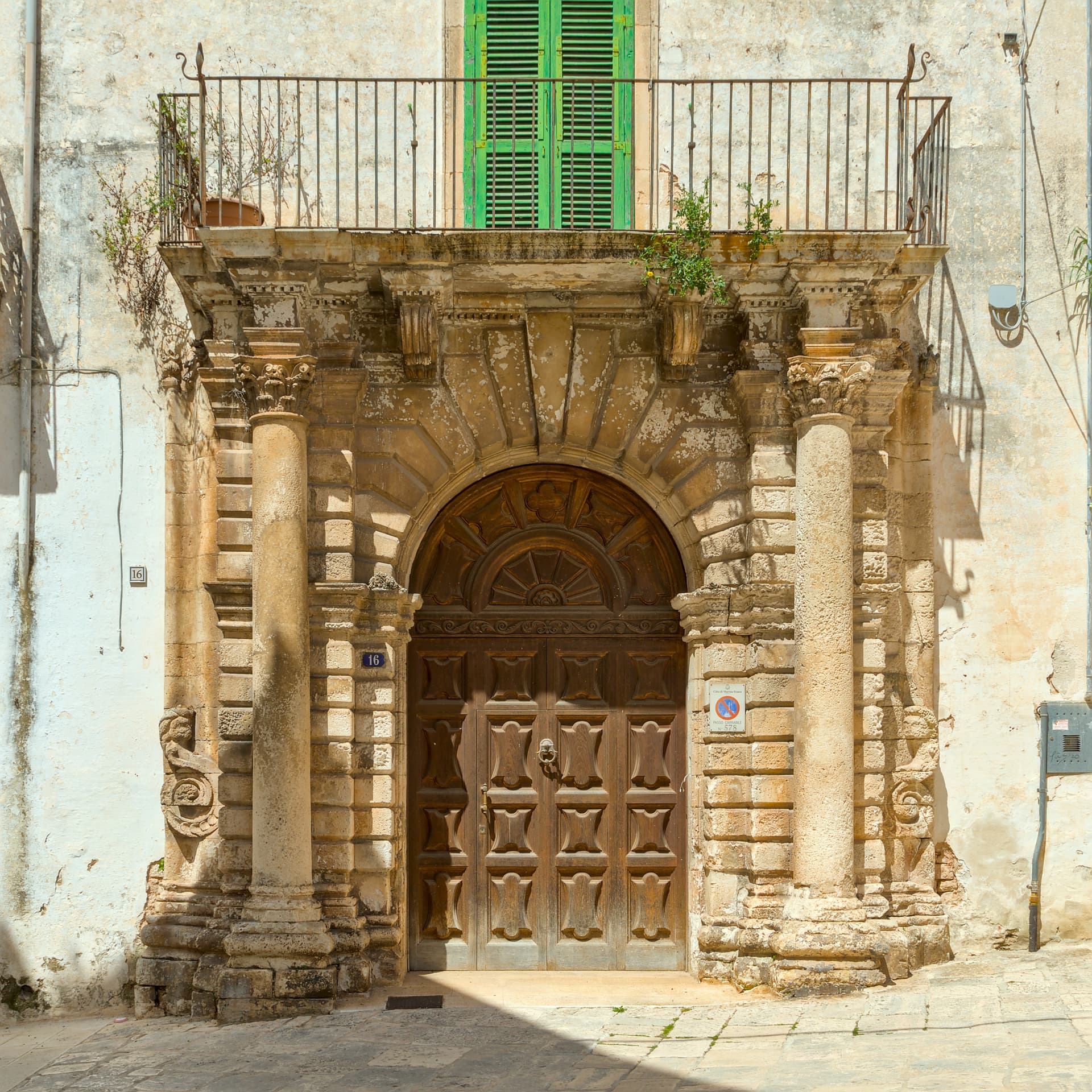
Martina Franca
Province: Taranto · 431 m
Puglia's second Baroque city after Lecce, on the Itria ridge at 431 meters, with an opera festival in its ducal courtyard since 1975.
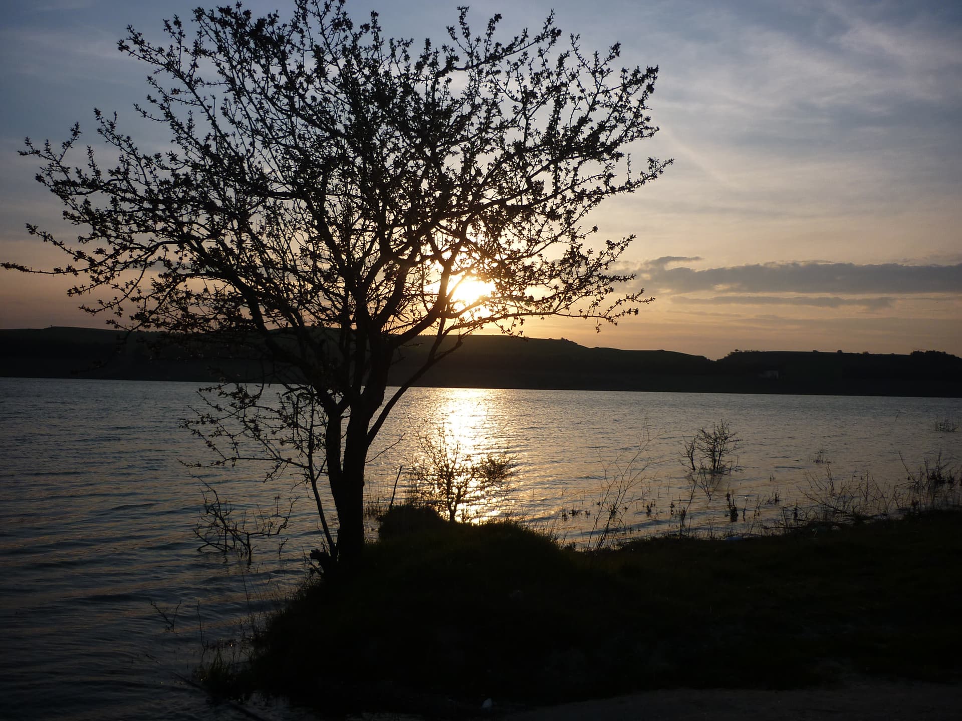
Minervino Murge
Province: Barletta-Andria-Trani · 445 m
The Balcone di Puglia at 445 meters on the Alta Murgia, between the Ofanto valley and Monte Vulture, inside the national park.
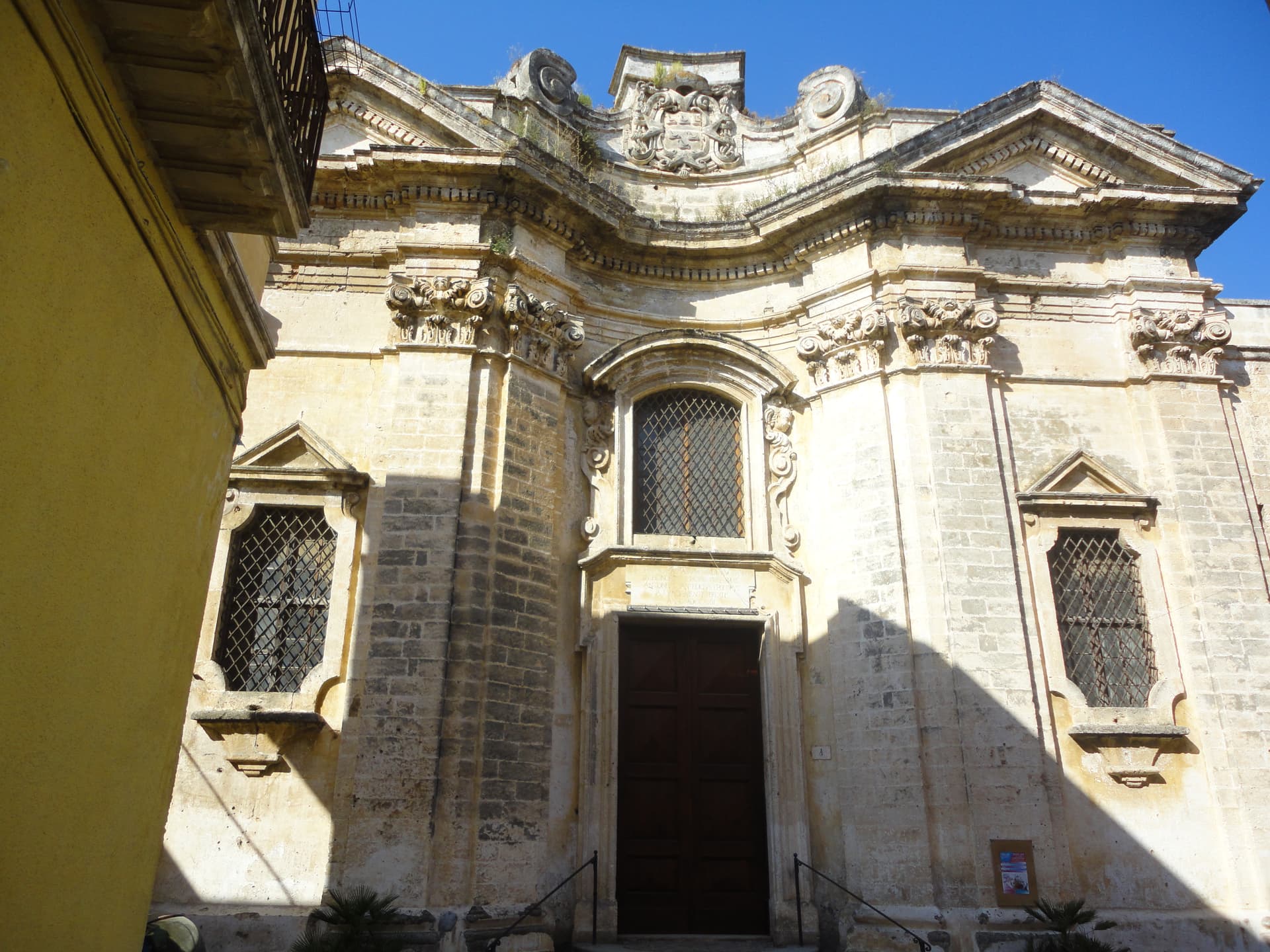
Nardò
Province: Lecce · 45 m
The second city of Salento after Lecce, a Baroque inland capital twenty-five kilometers from Lecce with a Ionian coastline behind it.
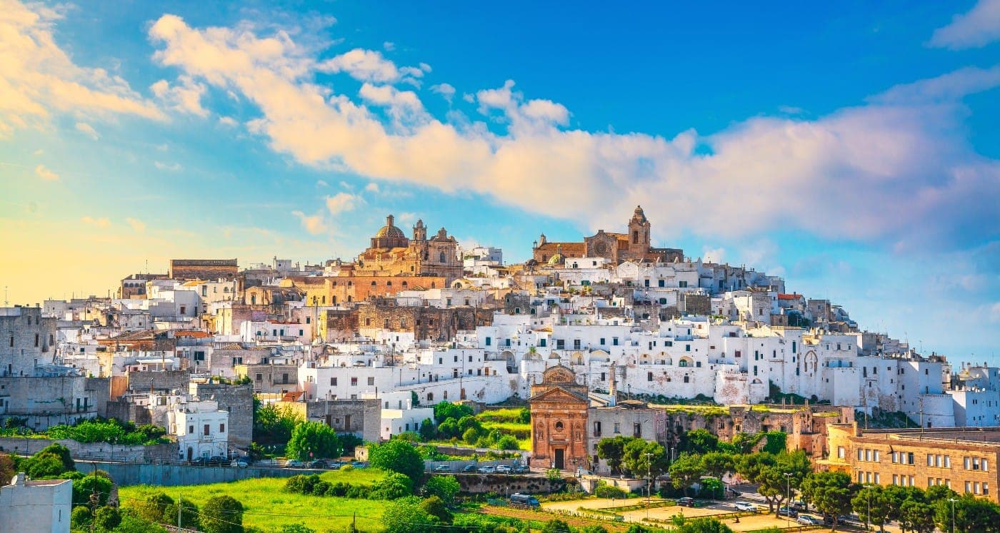
Ostuni
Province: Brindisi · 218 m
The Città Bianca on three hills at 218 meters, eight kilometers inland, whitewashed against the Murge above an Adriatic plain of olive trees.
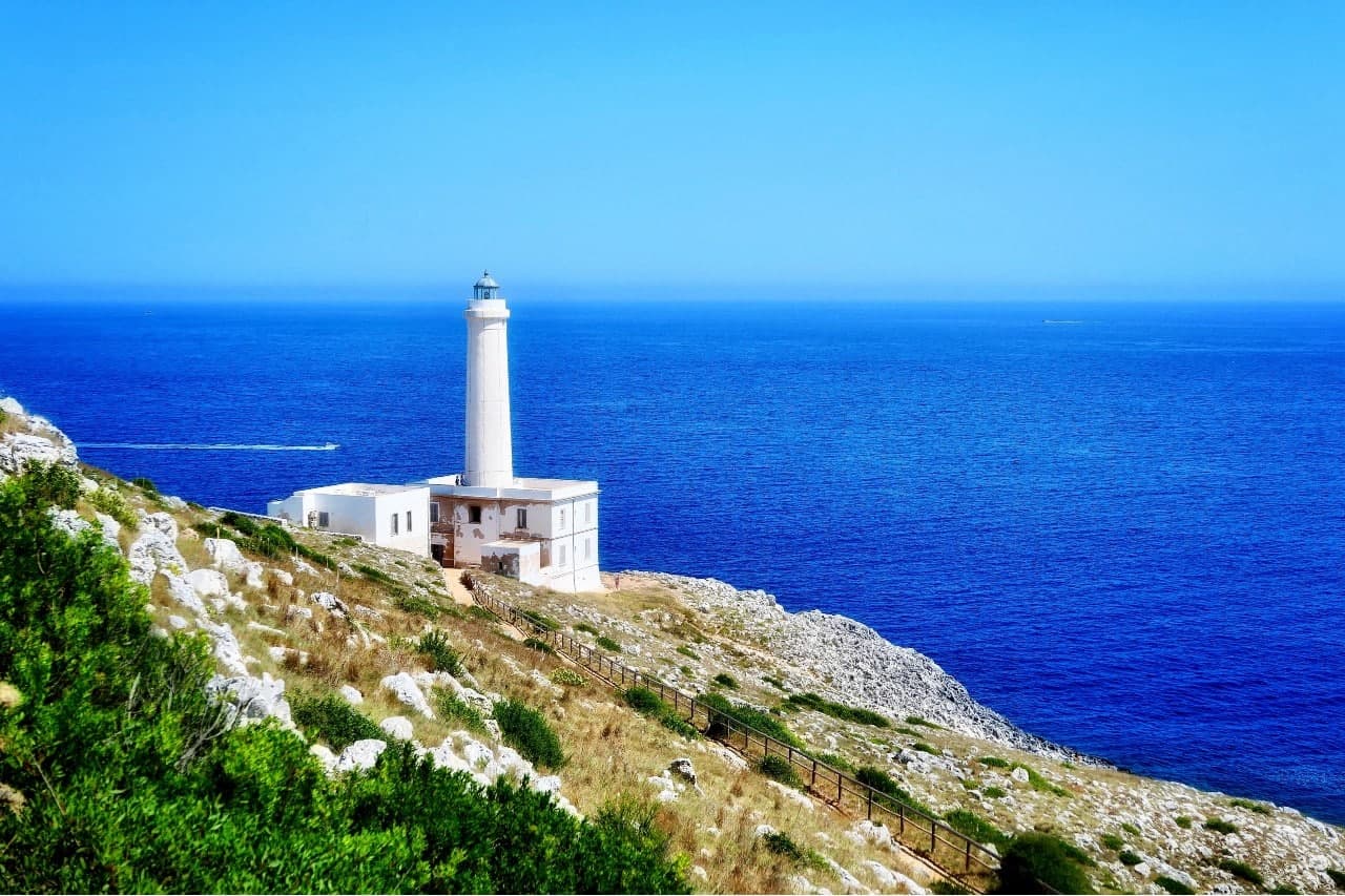
Otranto
Province: Lecce · 20 m
Italy's easternmost city, eighty kilometers from Albania, with a Norman mosaic floor and the bones of 813 martyrs in the cathedral.
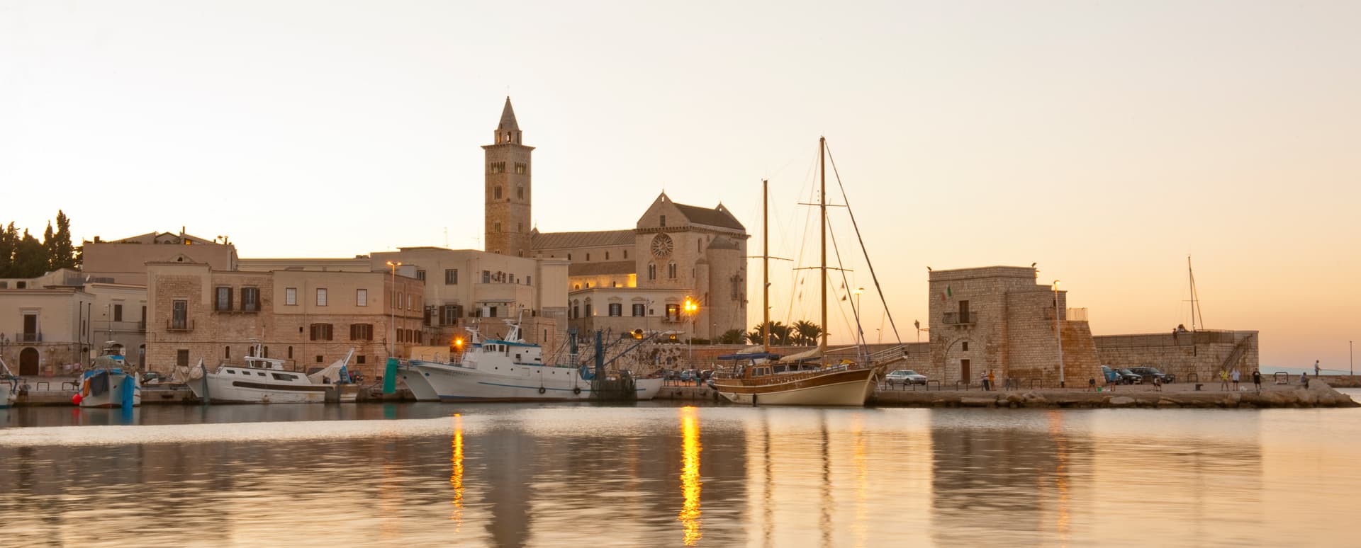
Trinitapoli
Province: Barletta-Andria-Trani · 5 m
A Tavoliere town between the Saline di Margherita and the Ofanto, sitting on a Bronze Age sanctuary that still surprises archaeologists.
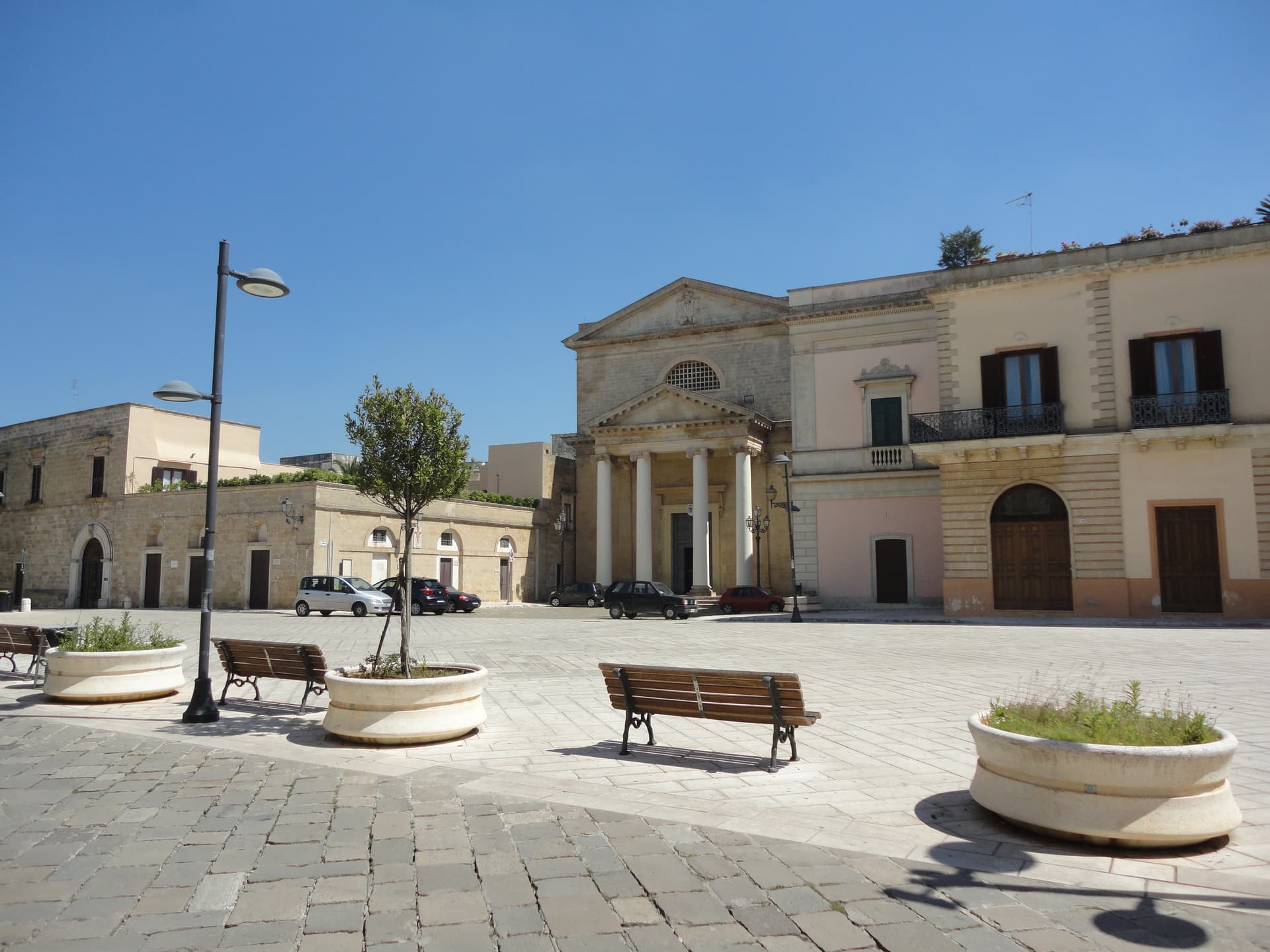
Ugento
Province: Lecce · 108 m
A Messapian-Roman town five kilometers from the Ionian, where a Baroque castle sits on the walls of the ancient city of Ozan.
Basilicata6
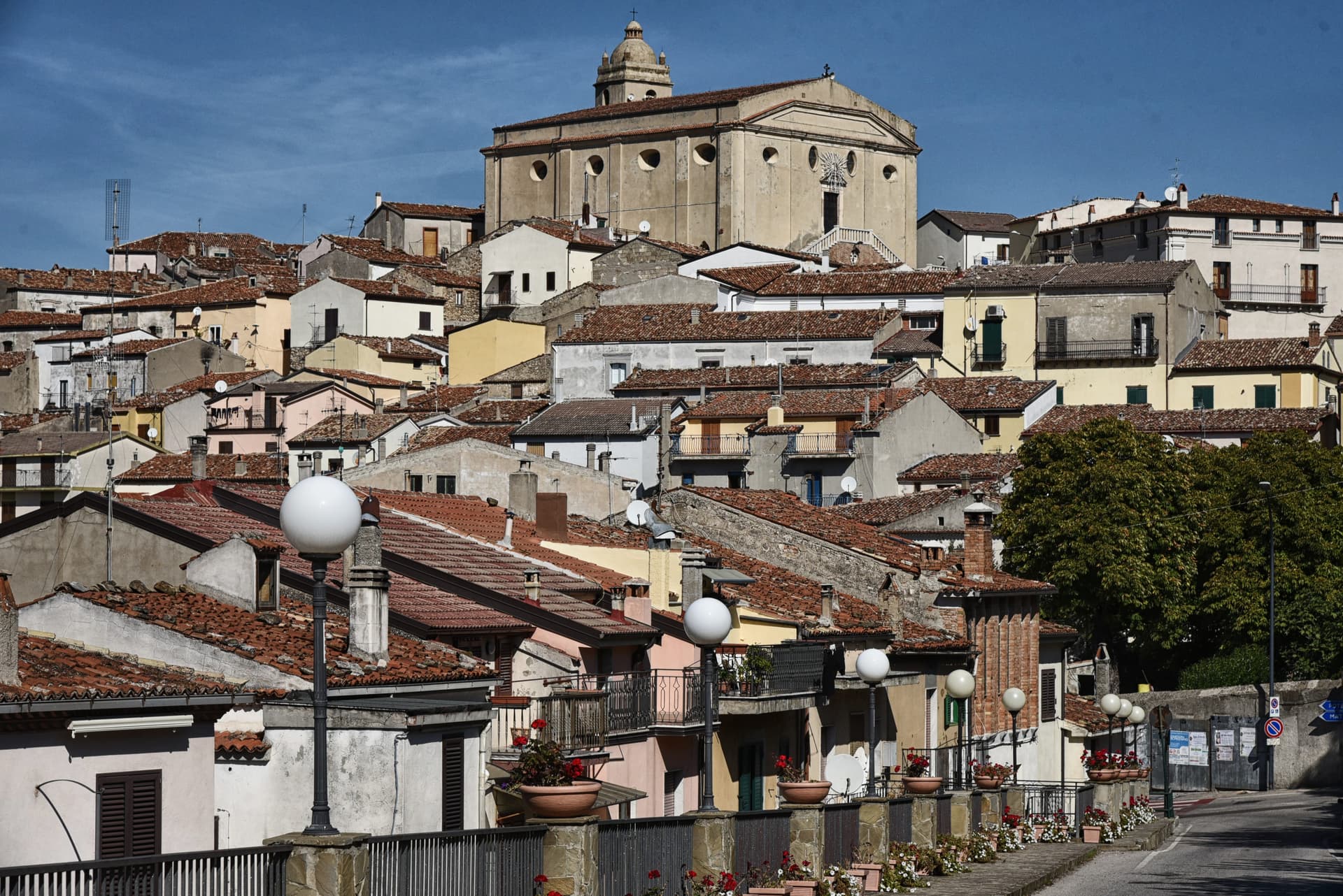
Accettura
Province: Matera · 770 m
A 770-meter village in the Gallipoli Cognato park where, each Pentecost, a Turkey oak is married to a holly tree.
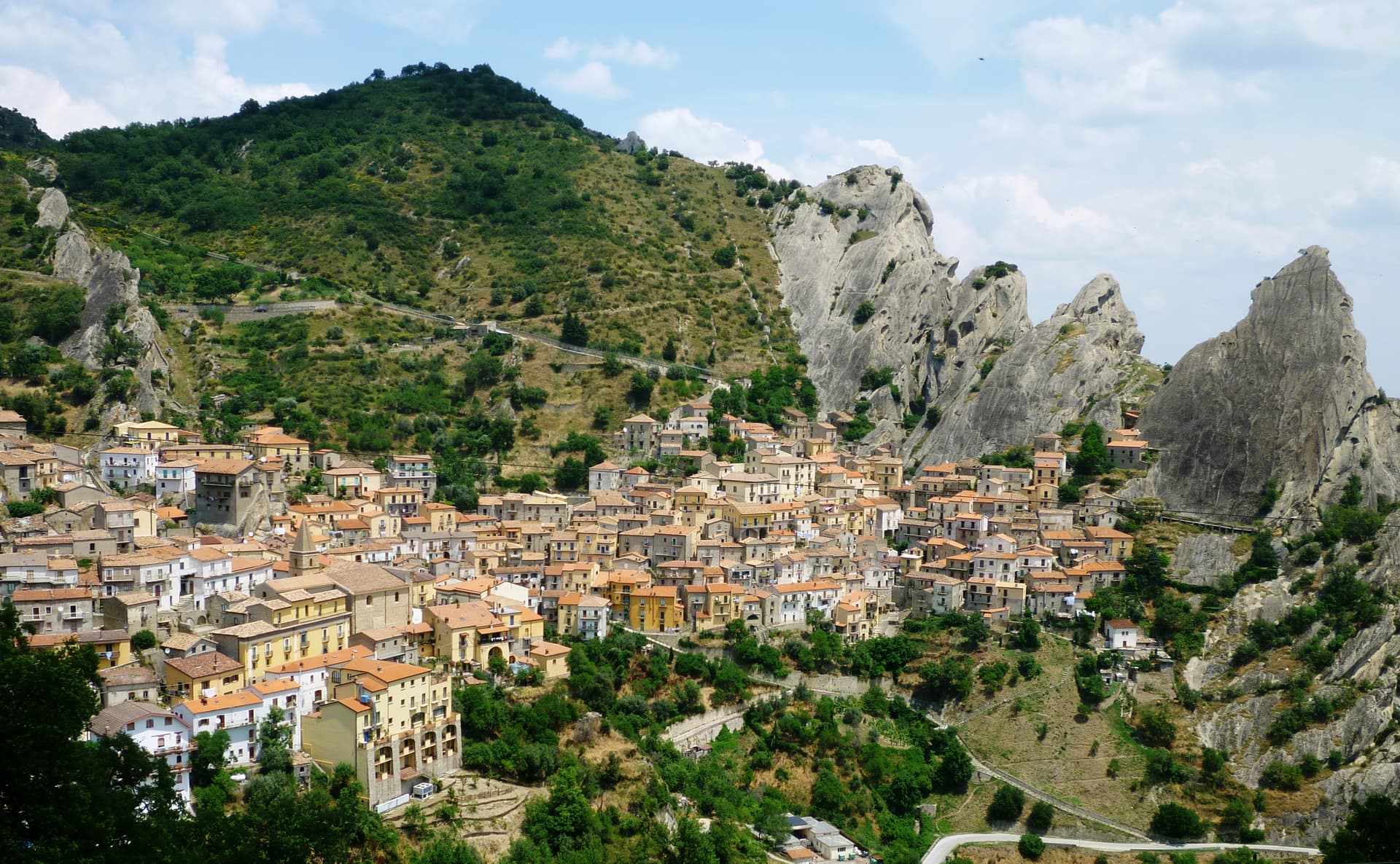
Castelmezzano
Province: Potenza · 750 m
A medieval village at 750 meters wedged into the Dolomiti Lucane sandstone teeth, linked to Pietrapertosa by a 1,452-meter zipline since 2007.
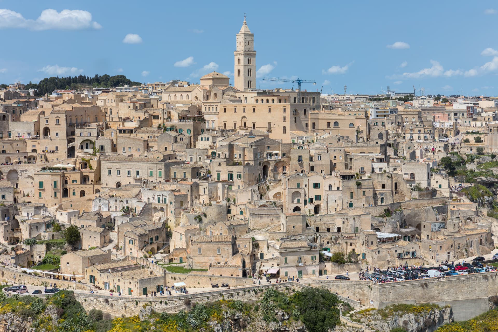
Matera
Province: Matera · 401 m
Cave dwellings carved into limestone since the Paleolithic, called the shame of Italy in the 1950s and made European Capital of Culture in 2019.
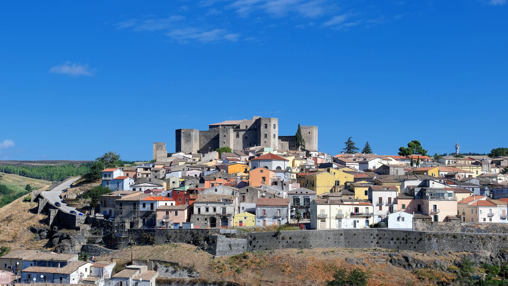
Melfi
Province: Potenza · 530 m
At 530 meters on the slopes of Monte Vulture, first Norman capital of the south and the seat of Frederick II's 1231 Constitutions of Melfi.
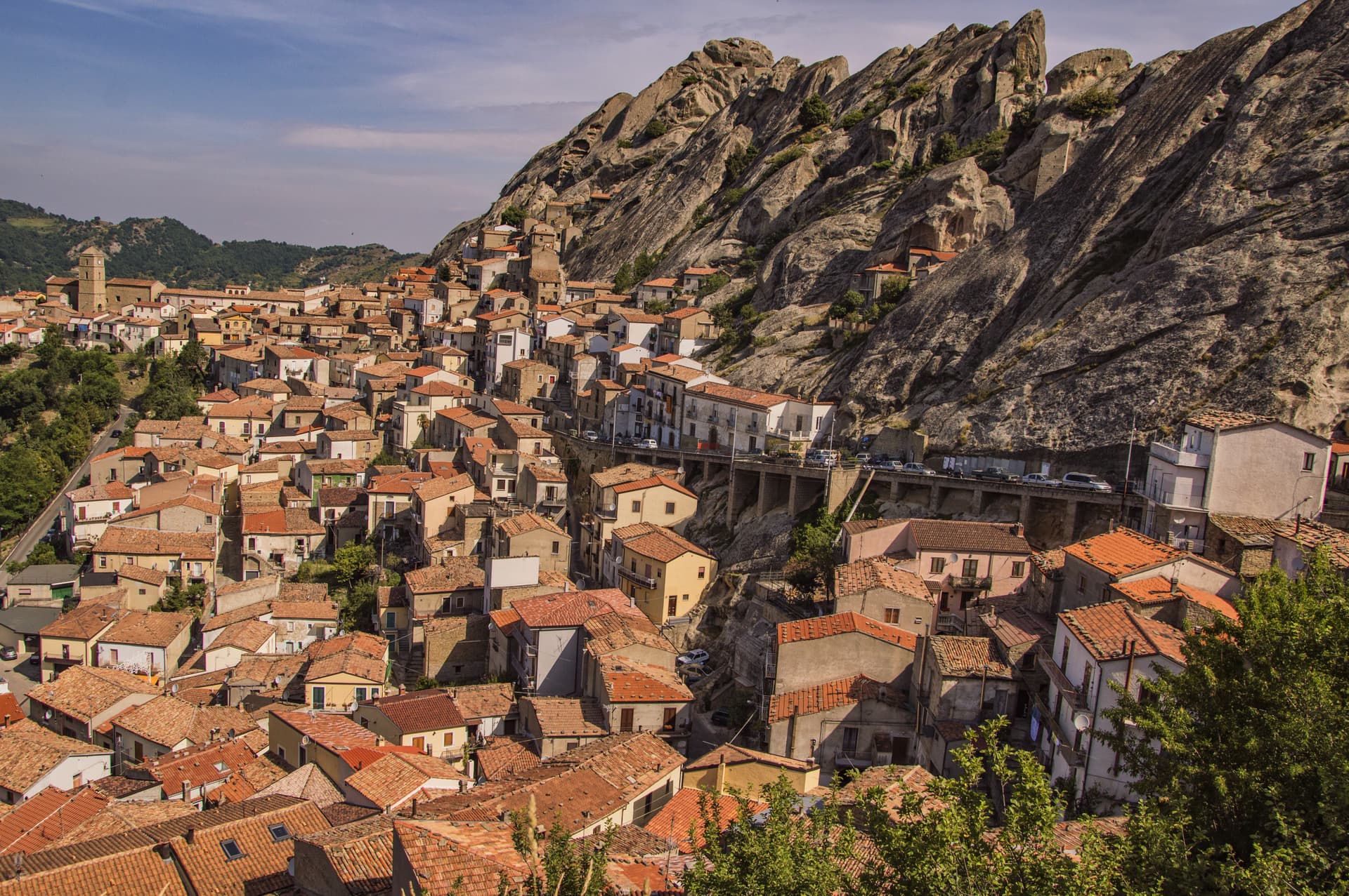
Pietrapertosa
Province: Potenza · 1,088 m
Basilicata's highest commune at 1,088 meters, built into the Lucanian Dolomites with a Saracen rock-cut fortress and a 1,400-meter zipline to Castelmezzano.
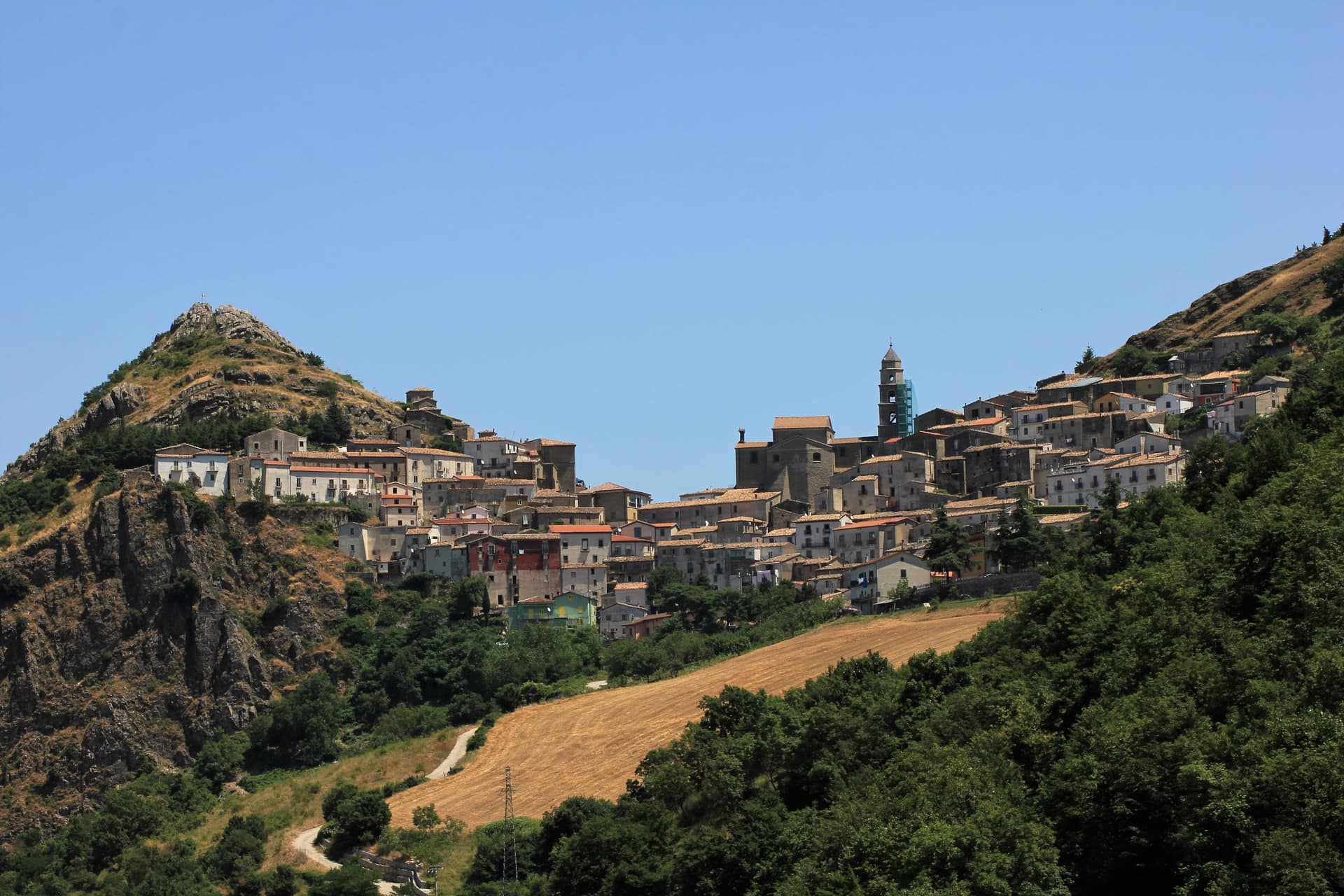
San Fele
Province: Potenza · 872 m
A stone village at 872 meters between Monte Toretta and Castello, anchored by Otto I's 969 fortress and ten waterfalls down the Bradano.
Calabria3
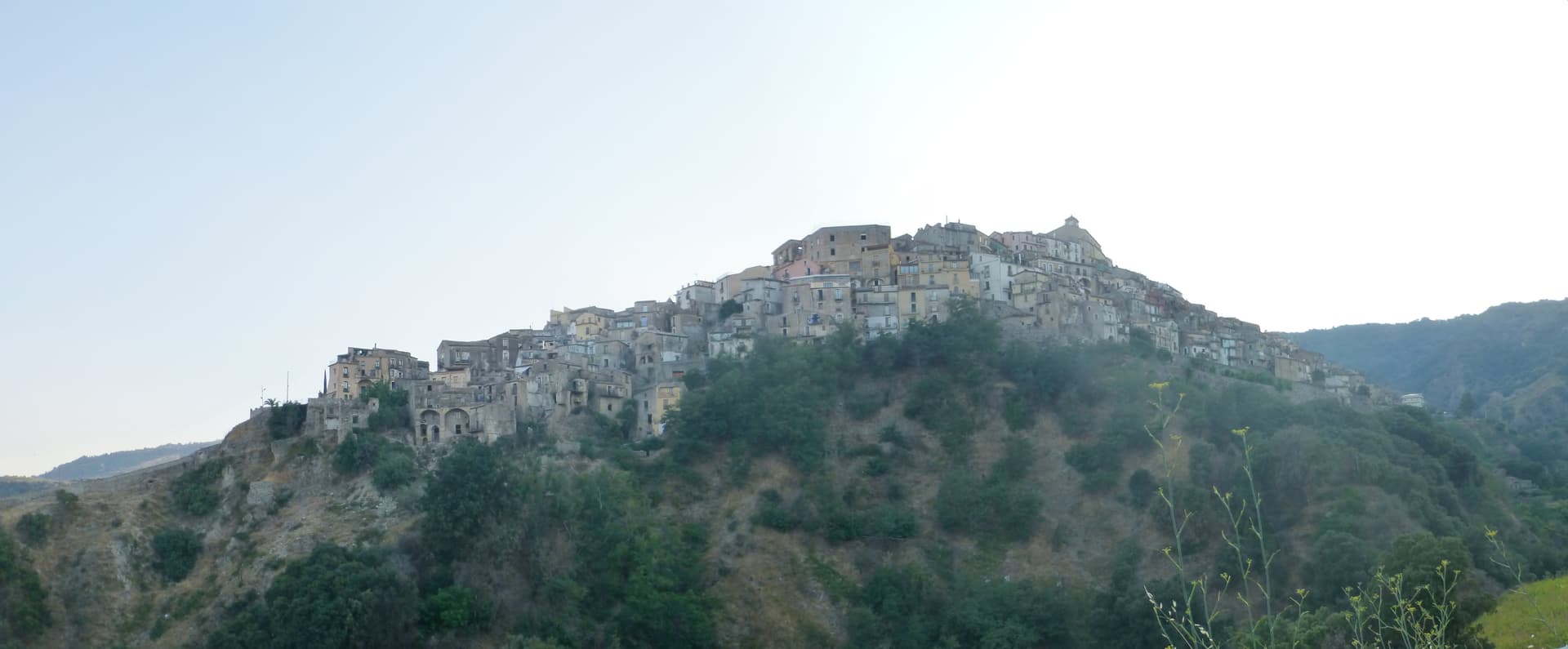
Badolato
Province: Catanzaro · 240 m
A medieval borgo of thirteen churches at 240 meters above the Ionian, which took in 350 Kurdish refugees in 1997 and started its own slow rebirth.
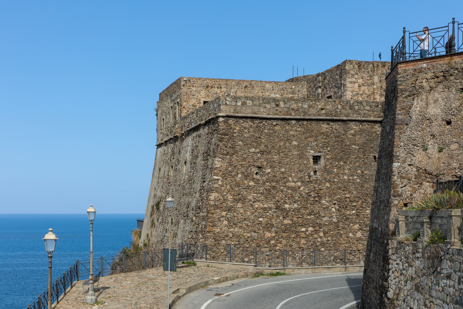
Pizzo
Province: Vibo Valentia · 44 m
A tuff-cliff town over the Gulf of Sant'Eufemia, where Joachim Murat was shot in 1815 and the tartufo gelato was invented a century later.
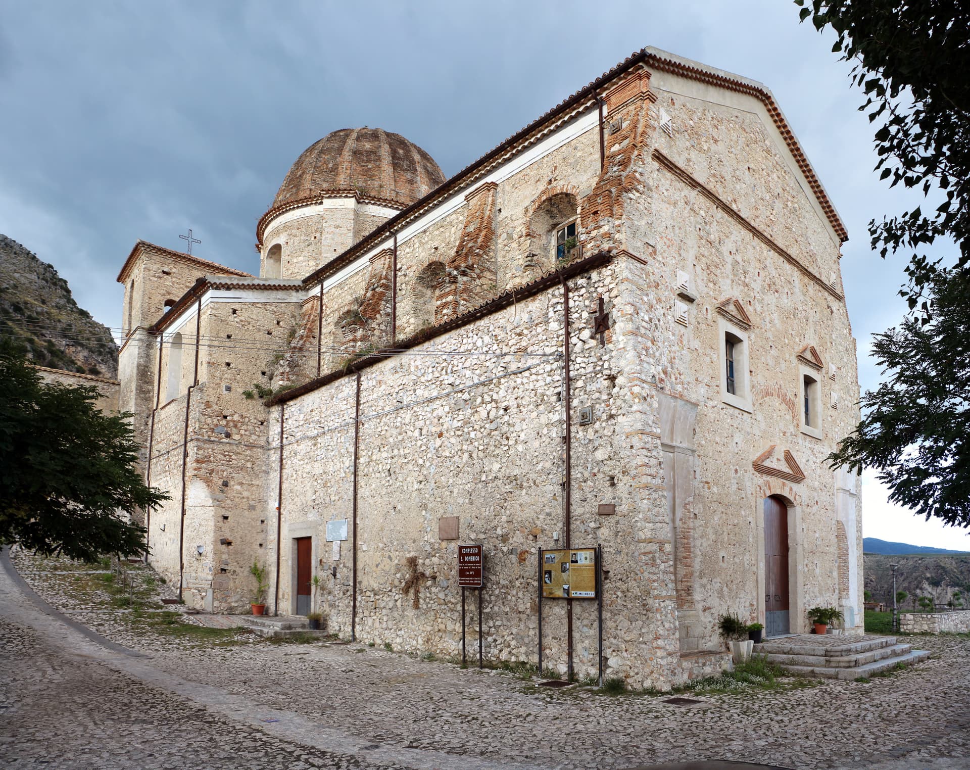
Stilo
Province: Reggio di Calabria · 400 m
A Byzantine hilltown below Monte Consolino, home to the tenth-century Cattolica and the legendary inspiration for Campanella's City of the Sun.
Campania26
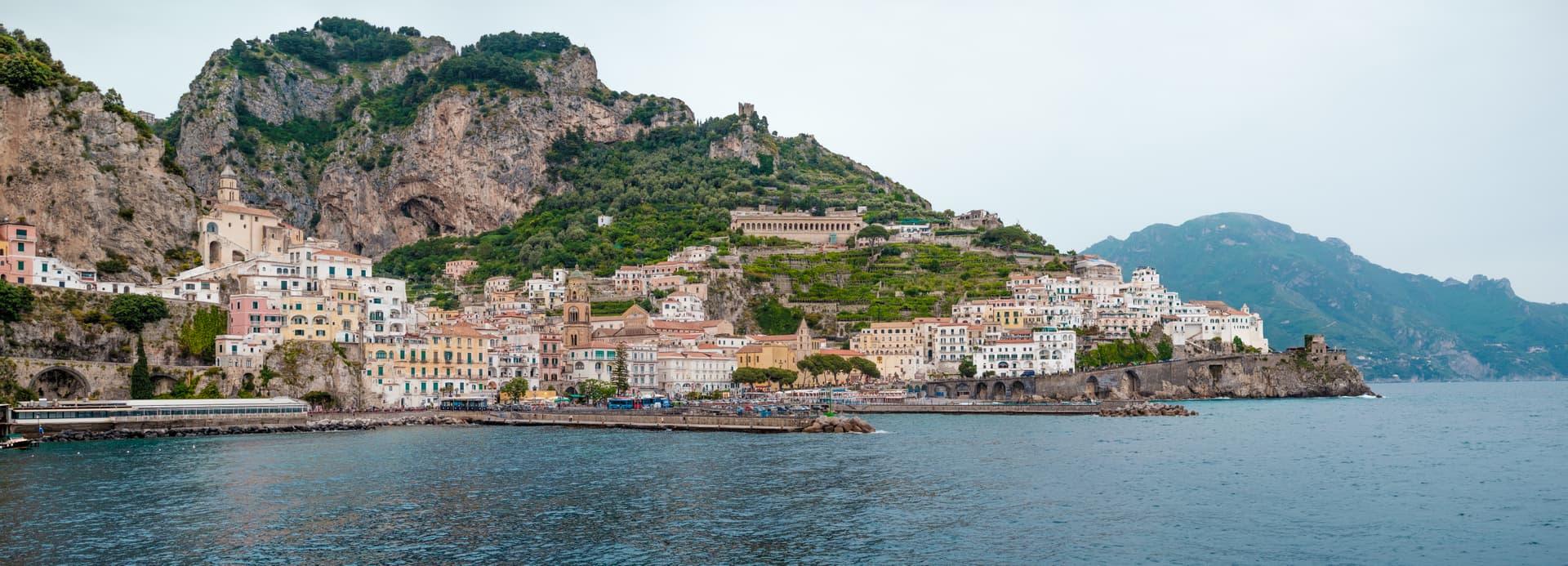
Amalfi
Province: Salerno · 6 m
The first Italian maritime republic and the coast it named, six meters above the sea between cliffs that close around the duomo's steps.
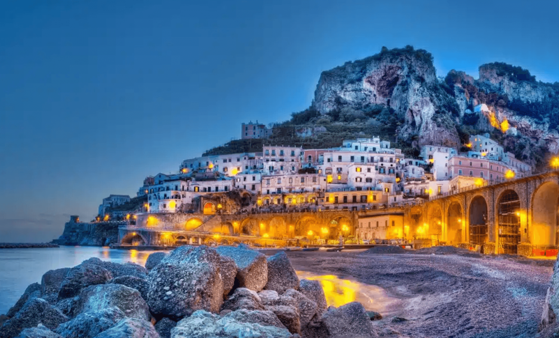
Atrani
Province: Salerno · 21 m
The smallest commune in Italy by area, twelve hectares of stacked houses where the Amalfi Coast pinches shut around a single piazza.
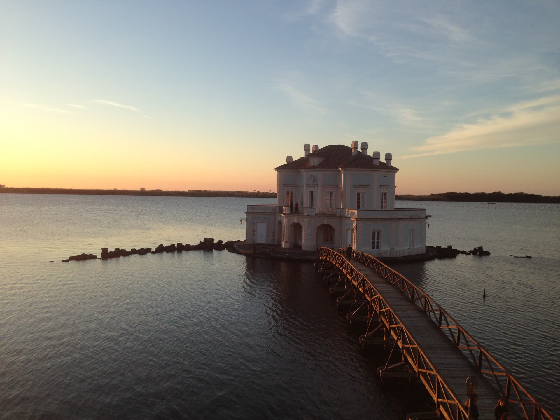
Bacoli
Province: Napoli · 30 m
A Campi Flegrei town twenty kilometers west of Napoli, the Roman Bauli, where the Piscina Mirabilis fed the imperial fleet at Miseno.
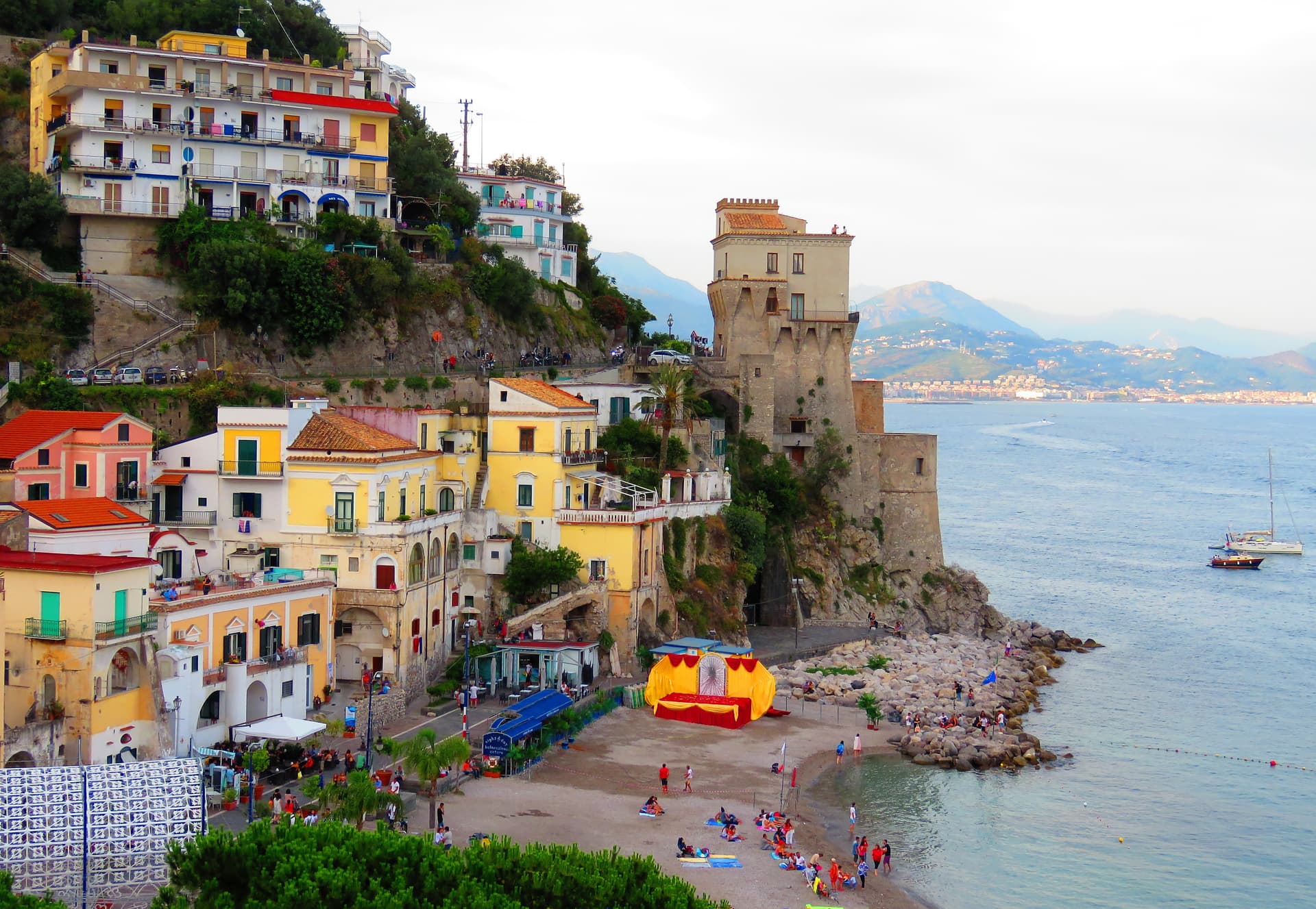
Cetara
Province: Salerno · 10 m
The Amalfi Coast's working tuna and anchovy port, where colatura di alici is still aged in chestnut barrels in the cellars behind the marina.
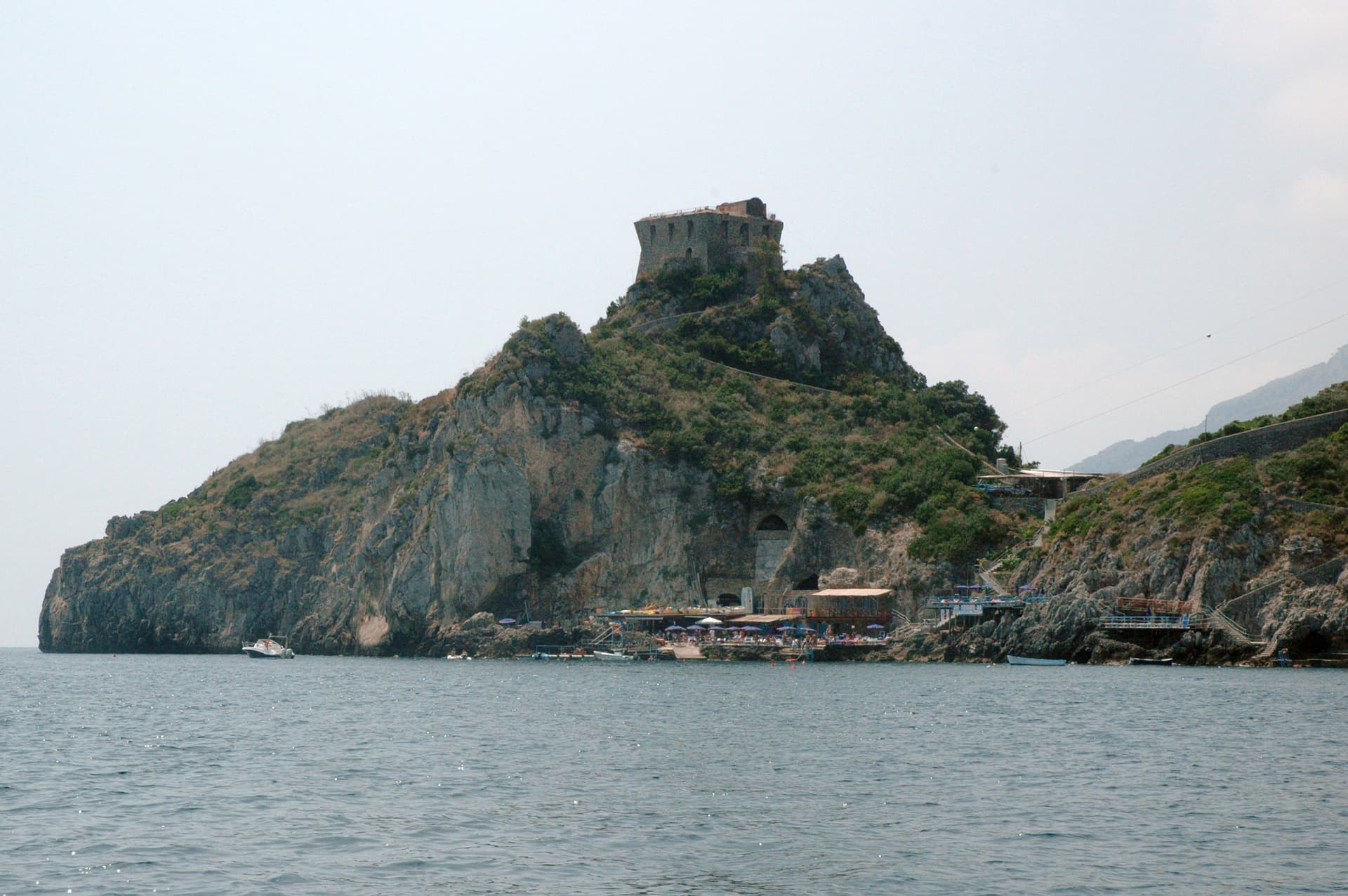
Conca dei Marini
Province: Salerno · 138 m
A coastal hamlet of 664 people on the Amalfi Coast, the birthplace of the sfogliatella Santa Rosa and home to the Emerald Grotto.
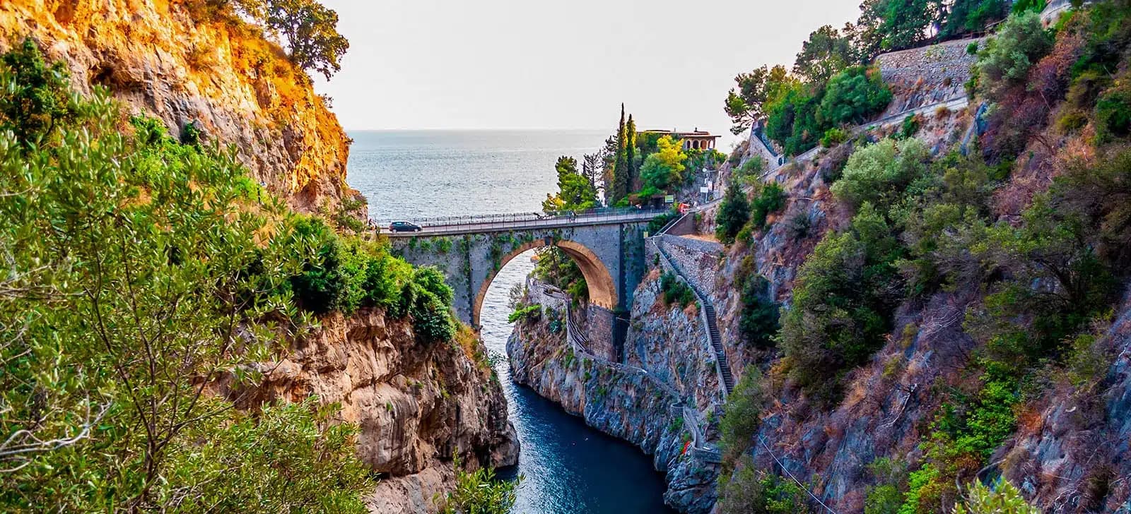
Furore
Province: Salerno · 300 m
The Amalfi Coast village with no piazza and no center, scattered on rock walls 300 meters above the only fjord in southern Italy.
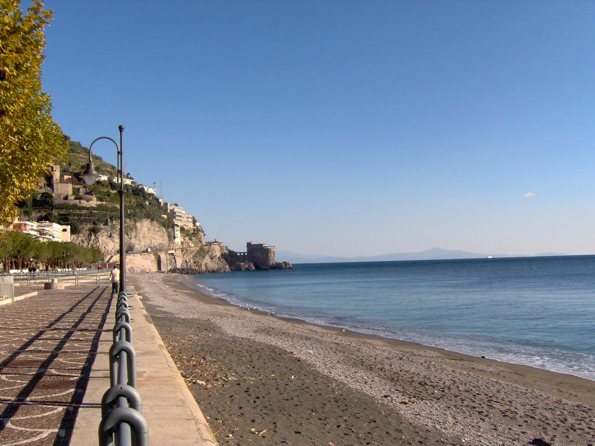
Maiori
Province: Salerno · 5 m
The Amalfi Coast town with the longest beach and a grid street plan, rebuilt after the 1954 flood took the medieval lanes.
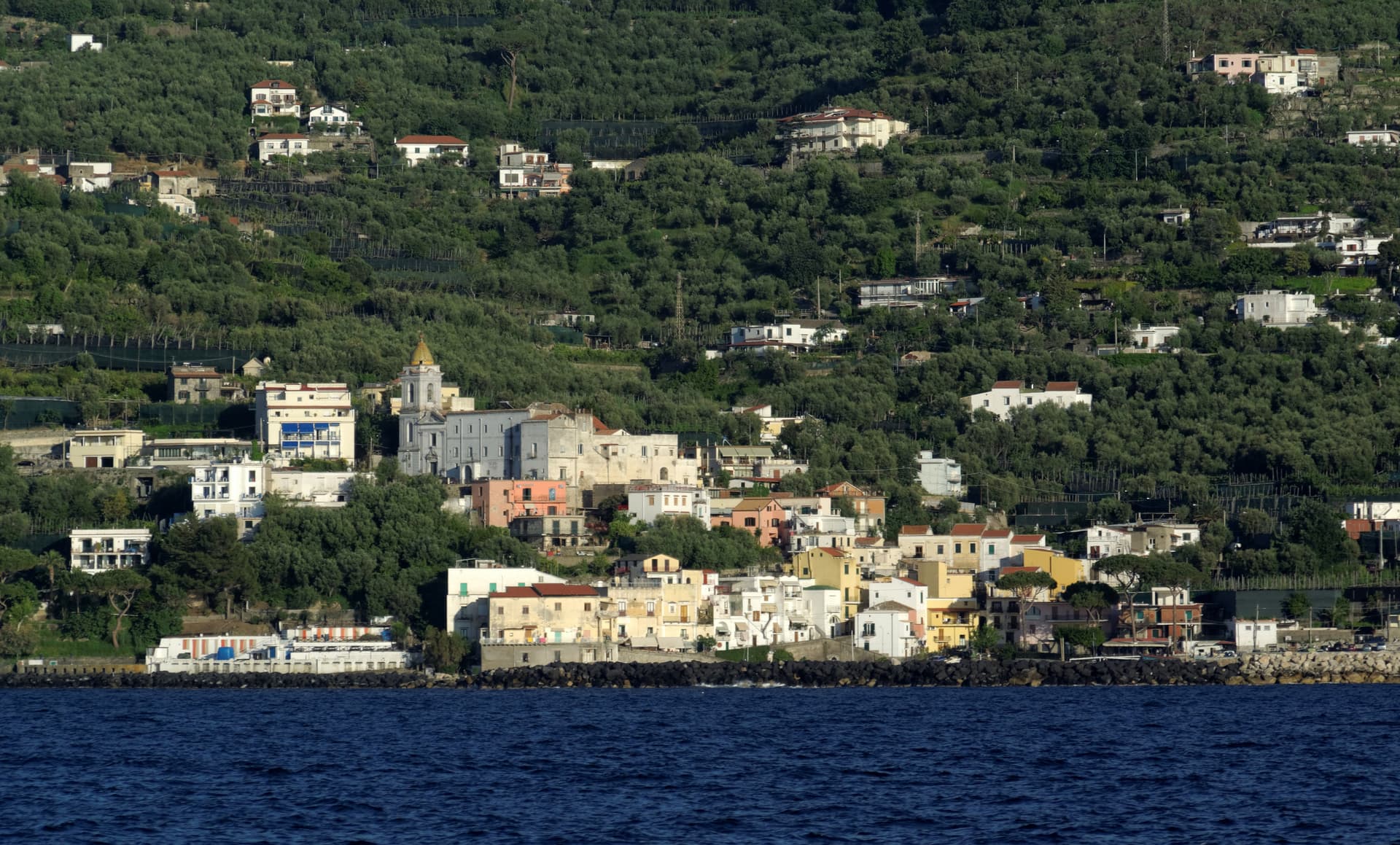
Massa Lubrense
Province: Napoli · 121 m
The Sorrentine Peninsula's largest commune by area, stretching from Sorrento across Punta Campanella to the Gulf of Salerno, Capri three miles offshore.
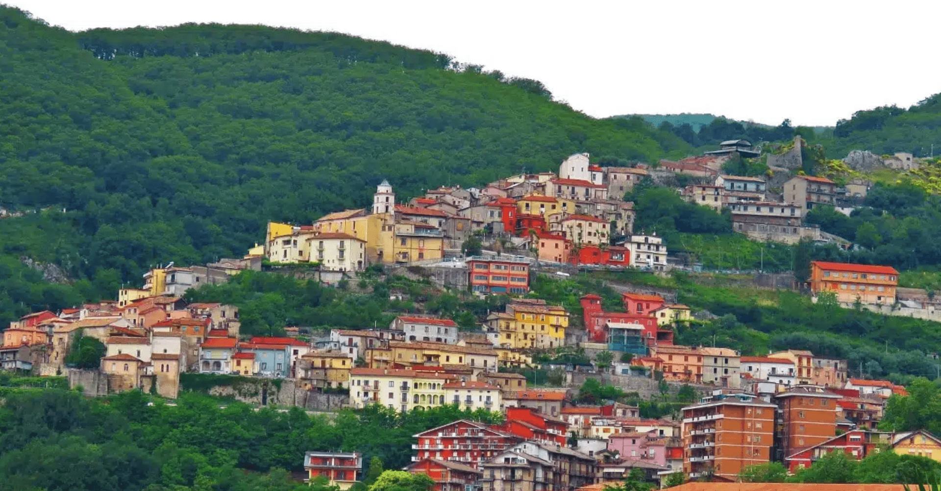
Mercogliano
Province: Avellino · 550 m
A 550-meter Irpinia town on the slope of Partenio, gateway to the Montevergine Sanctuary 1,270 meters above and its Black Madonna.
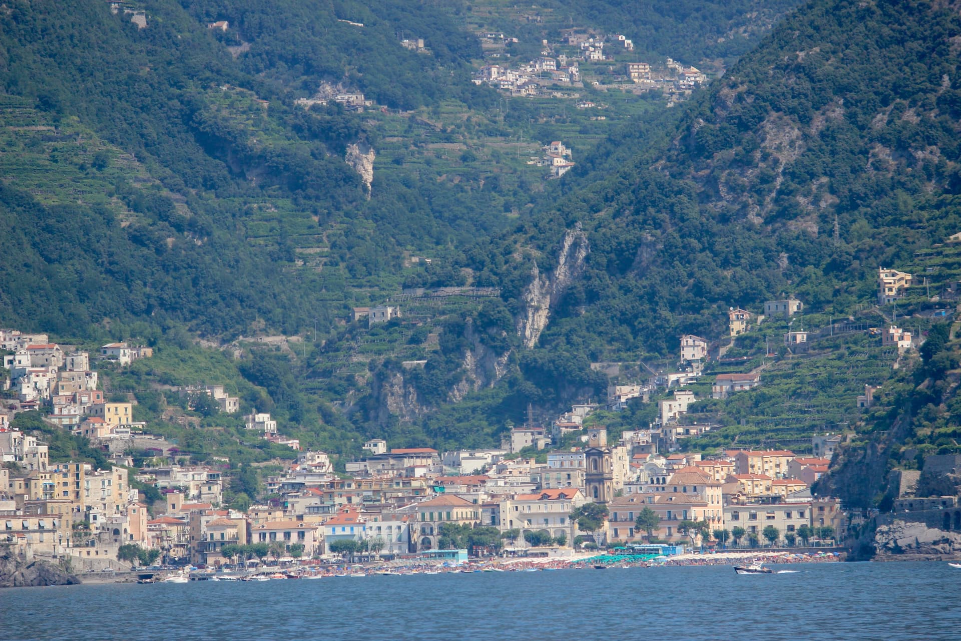
Minori
Province: Salerno · 13 m
The smaller of the two Rheginnae, where a first-century Roman maritime villa sits four blocks from the Tyrrhenian beach.
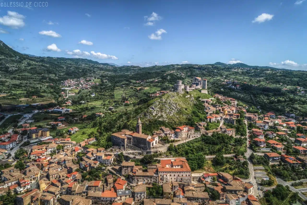
Montesarchio
Province: Benevento · 300 m
Ancient Caudium at 300 meters in the Valle Caudina, the Roman defeat at the Forche Caudine still attached to the name two thousand years later.
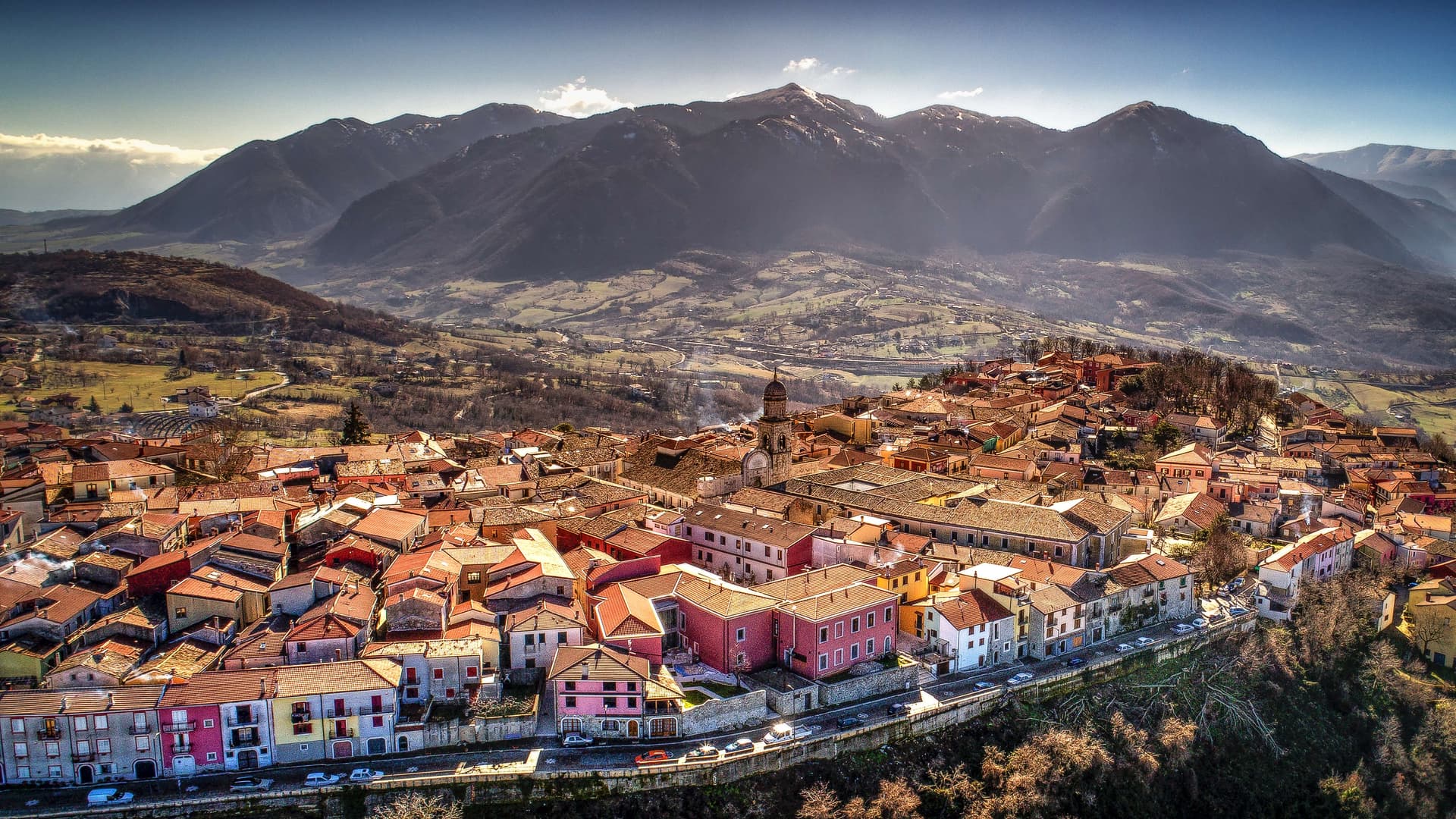
Nusco
Province: Avellino · 914 m
The Balcony of Irpinia at 914 meters, a ridge town between the Ofanto and Calore valleys, hometown of Prime Minister Ciriaco De Mita.
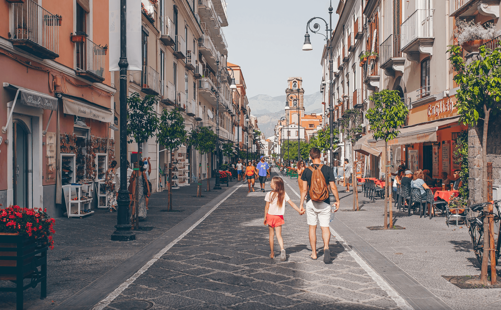
Piano di Sorrento
Province: Napoli · 96 m
The quieter Sorrentine plain four kilometers from Sorrento, autonomous since 1808, with prehistoric Gaudo pottery and a black-sand marina at the foot of the cliff.
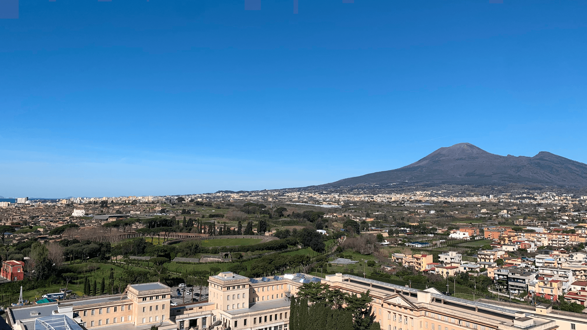
Pompei
Province: Napoli · 30 m
The Roman city buried by Vesuvius in 79 AD, dug back up since 1748, and a modern town around Bartolo Longo's 1876 sanctuary.
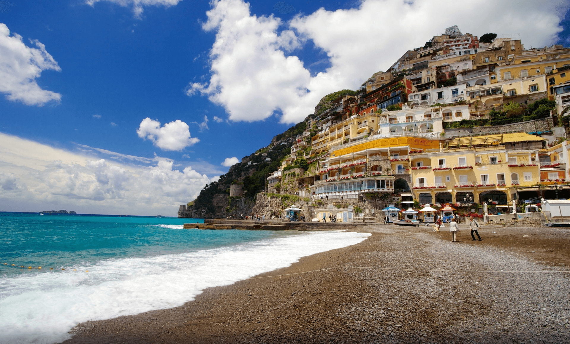
Positano
Province: Salerno · 30 m
The vertical village of the Amalfi Coast, terraced houses climbing four hundred meters from Spiaggia Grande to the Lattari ridge under a tiled Byzantine dome.
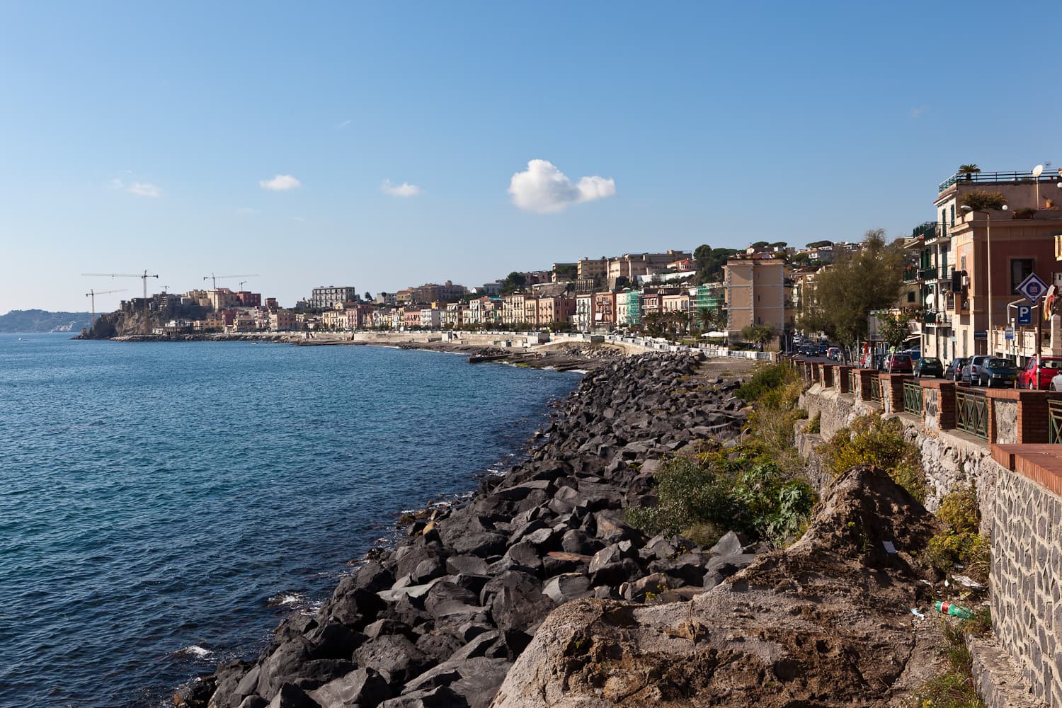
Pozzuoli
Province: Napoli · 28 m
A Roman port on the Campi Flegrei caldera, the Greek Dicearchia and Roman Puteoli, where the Macellum columns first proved bradyseism.
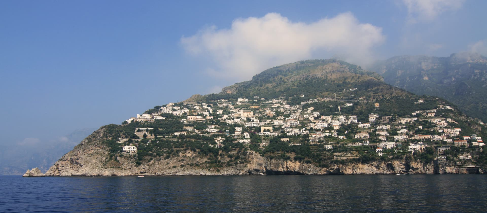
Praiano
Province: Salerno · 120 m
The Amalfi commune between Positano and Amalfi where the doges of the maritime republic kept their summer residences and the Path of the Gods starts.
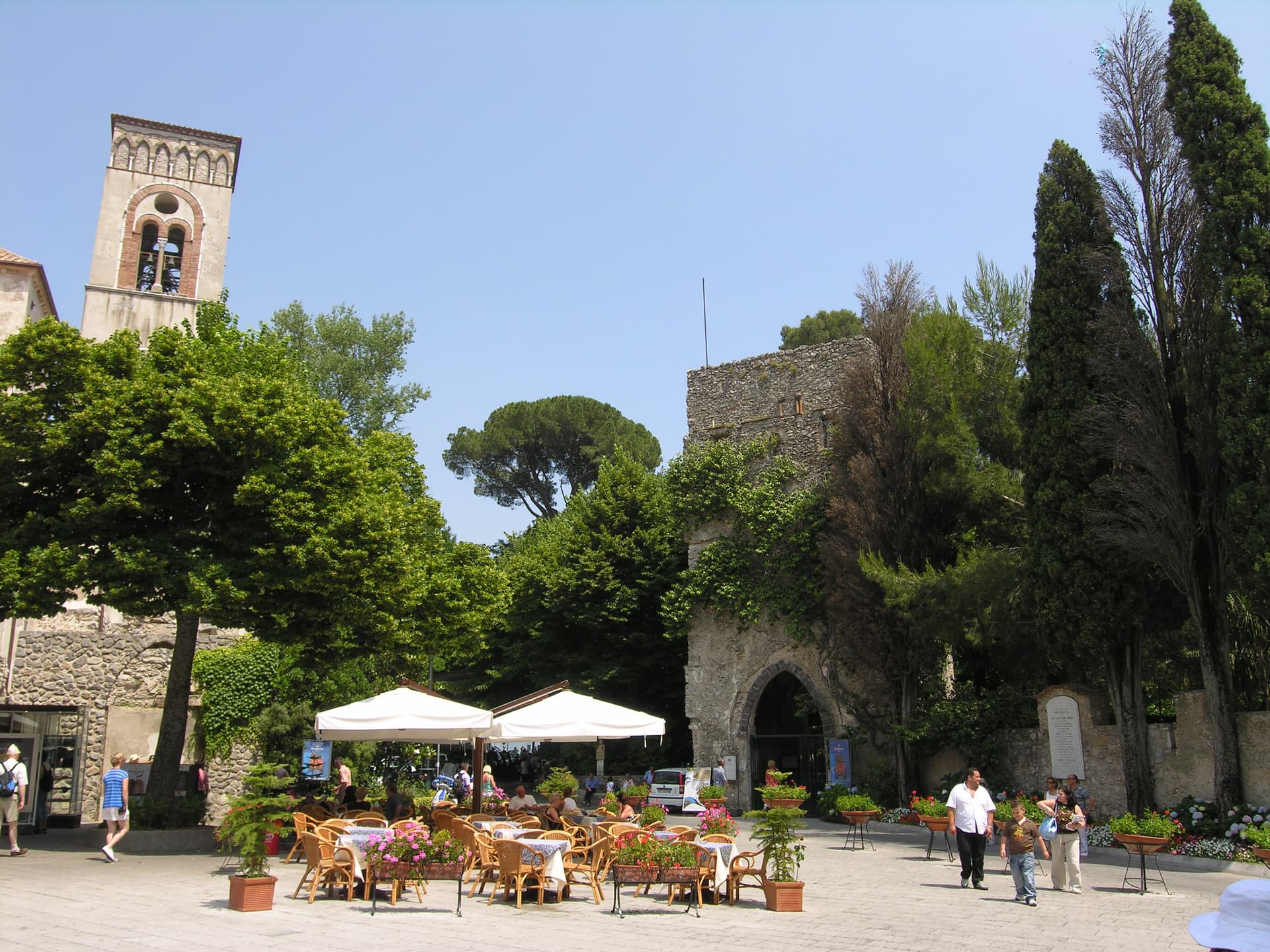
Ravello
Province: Salerno · 365 m
A ridge town 365 meters above the sea, where Wagner found Klingsor's garden in 1880 and the Ravello Festival has played his music since 1953.
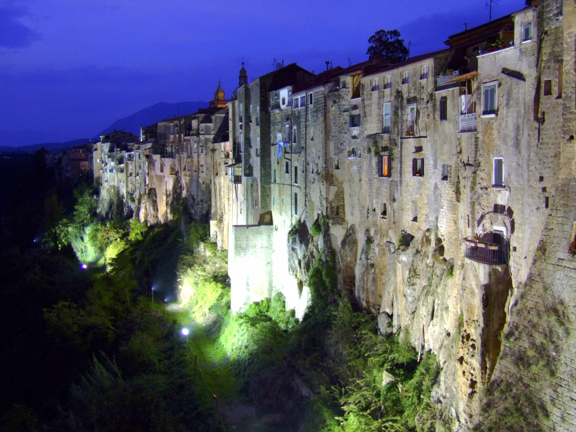
Sant'Agata de' Goti
Province: Benevento · 156 m
A medieval town built on a tuff cliff between two gorges, the houses standing flush with the edge over the Isclero river below.
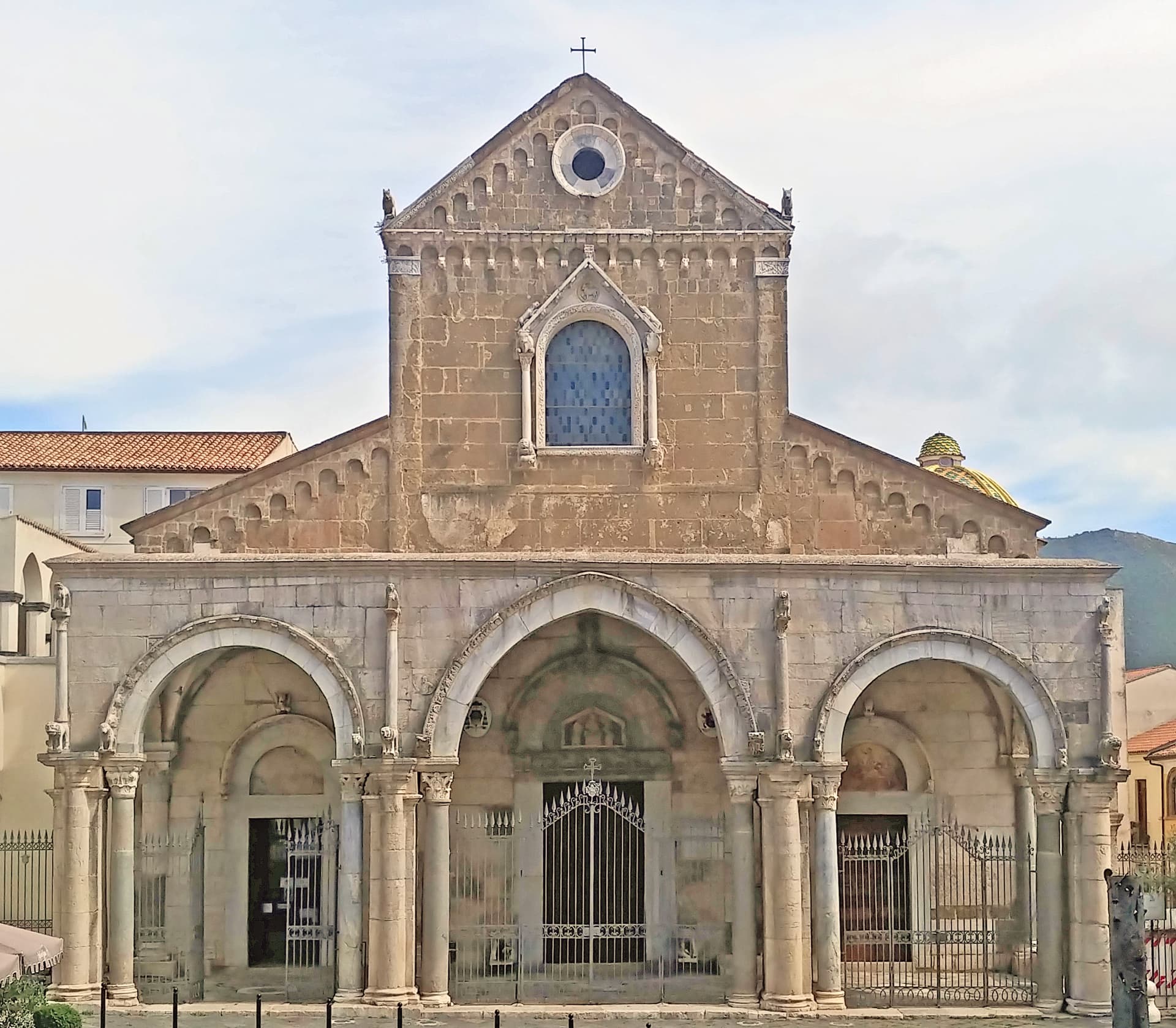
Sessa Aurunca
Province: Caserta · 203 m
Ancient Suessa Aurunca on the south slope of an extinct volcano, with a Romanesque cathedral of Cosmatesque mosaics built in 1103.
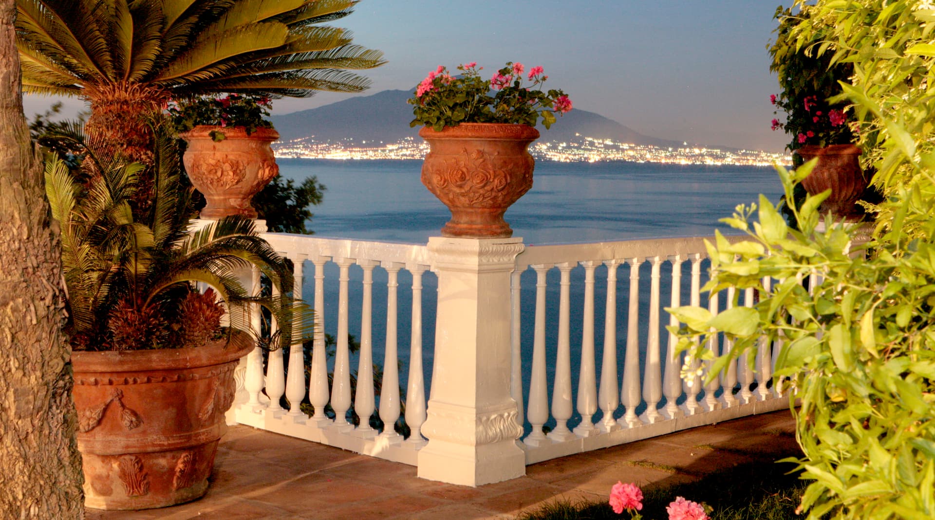
Sorrento
Province: Napoli · 50 m
The Roman Surrentum on a tuff cliff above the Bay of Napoli, birthplace of Torquato Tasso, sacked by the Turks in 1558.
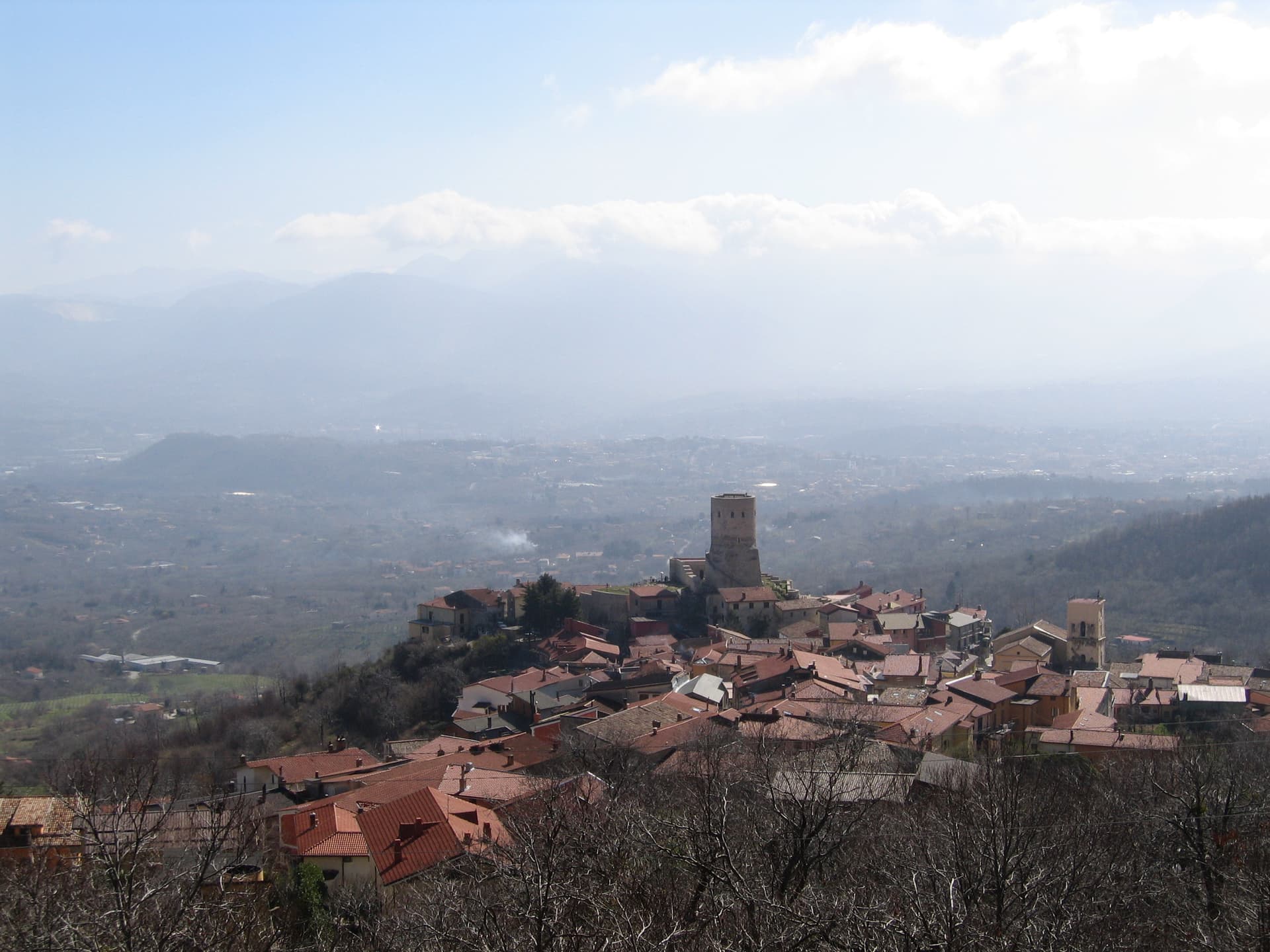
Summonte
Province: Avellino · 738 m
An Irpinia hill village at 738 meters on the slope of Monte Vallatrone, built around a 16-meter Angevin cylinder tower over the Partenio.
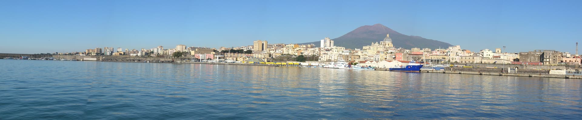
Torre Annunziata
Province: Napoli · 15 m
Capital of Italian pasta in the interwar period and home of the Roman Villa di Poppea, on the bay at the foot of Vesuvius.
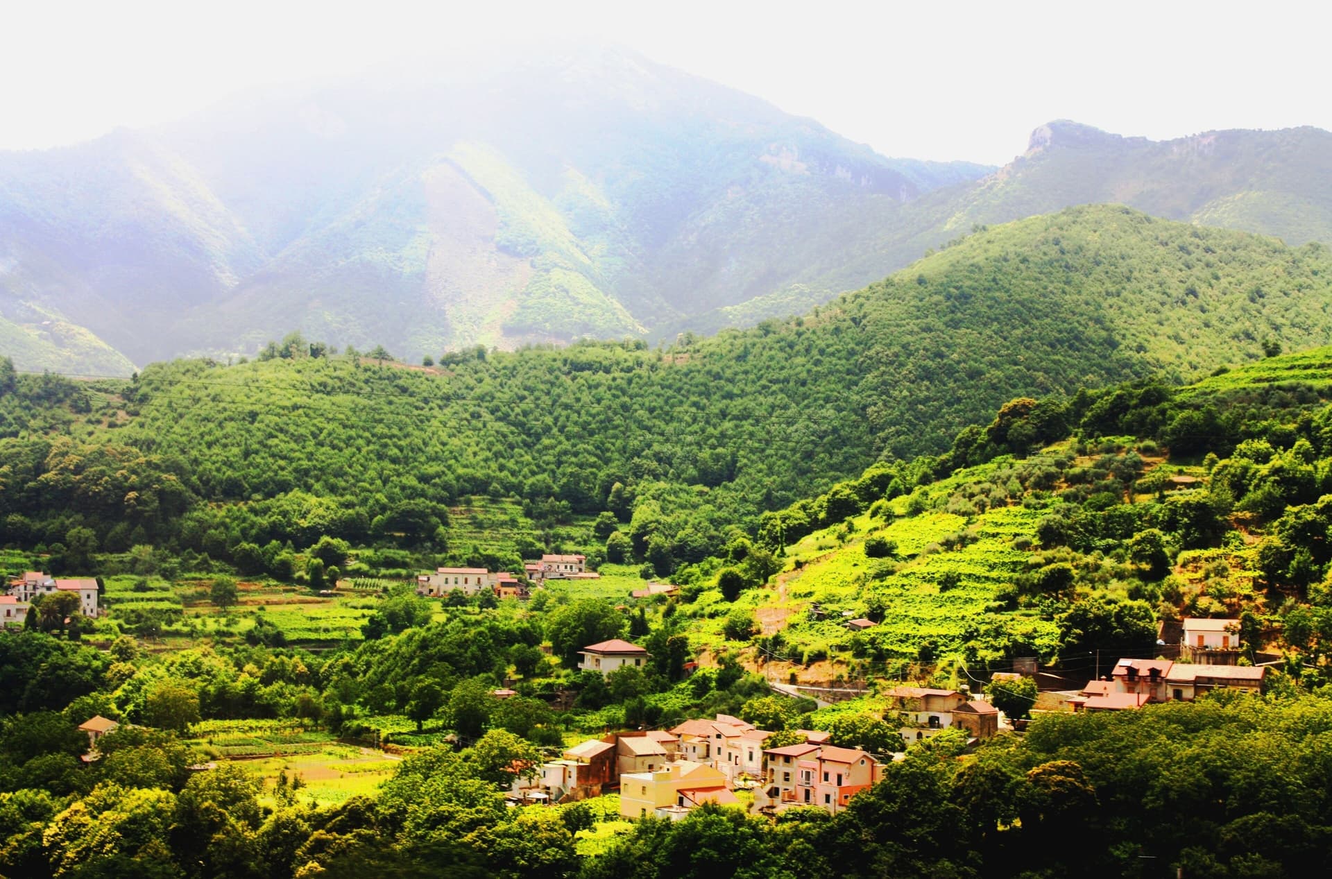
Tramonti
Province: Salerno · 321 m
The inland side of the Amalfi Coast, thirteen hamlets on the Lattari slopes producing the Costa d'Amalfi Tramonti DOC and an exported pizza dough.
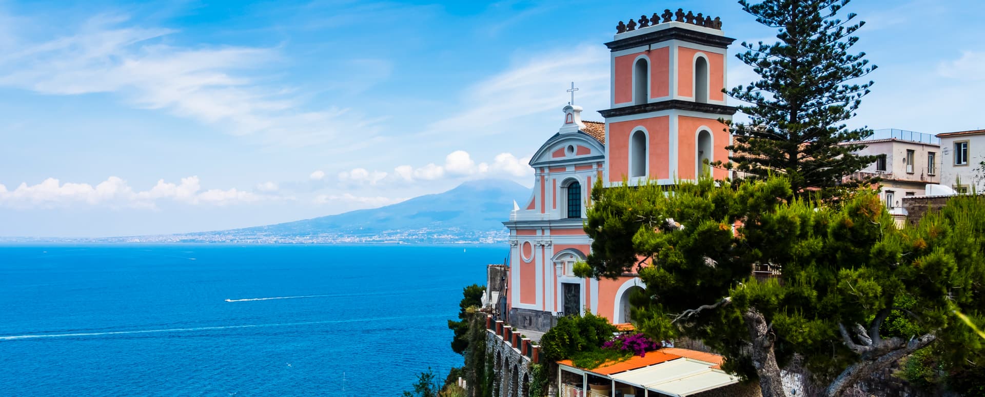
Vico Equense
Province: Napoli · 90 m
The northern gate of the Sorrento peninsula at 90 meters, the Roman Aequana, where Luigi Dell'Amura invented pizza al metro in 1930.
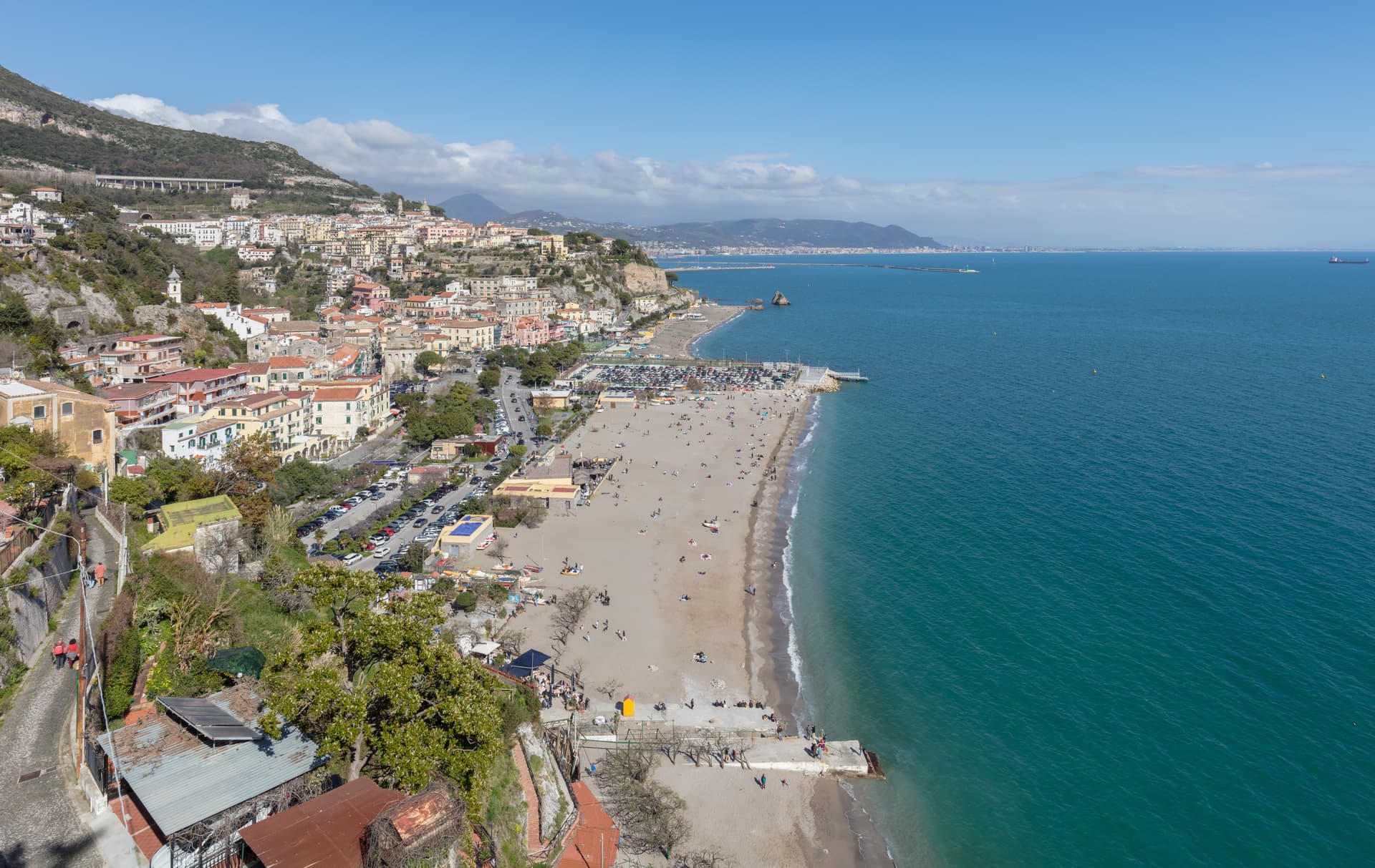
Vietri sul Mare
Province: Salerno · 80 m
The eastern end of the Amalfi Coast at 80 meters, the ceramics town since the fifteenth century, the gateway between Salerno and the cliff road.
Emilia-Romagna15
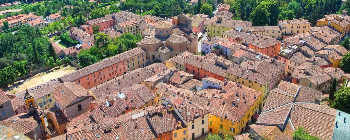
Brisighella
Province: Ravenna · 115 m
A Lamone-valley borgo at 115 meters under three selenite hills crowned by a fortress, a clock tower, and a sanctuary.
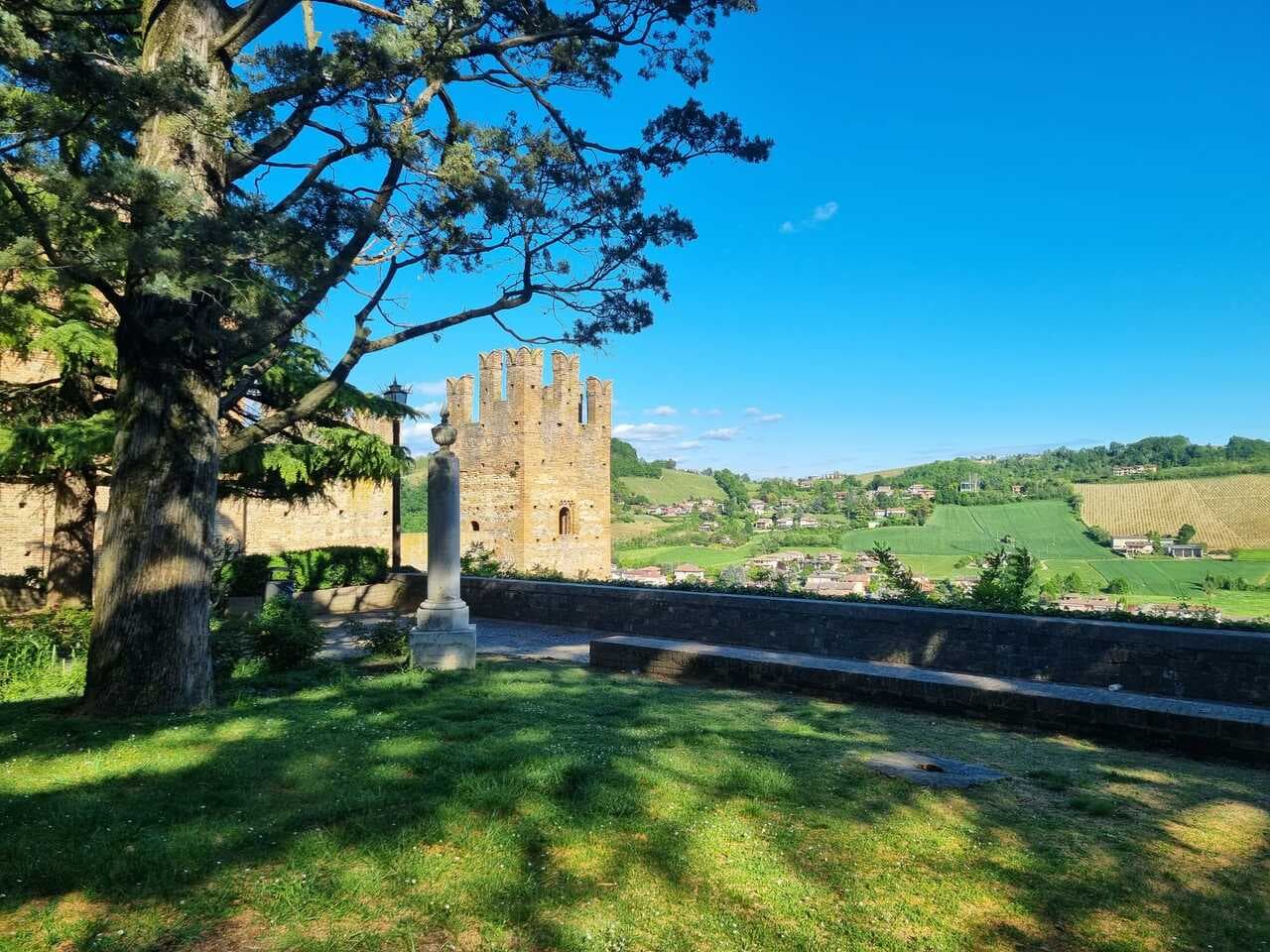
Castell'Arquato
Province: Piacenza · 224 m
A 224-meter hilltop borgo in the Val d'Arda, kept intact since the tenth century and crowned by Luchino Visconti's 1342 fortress.
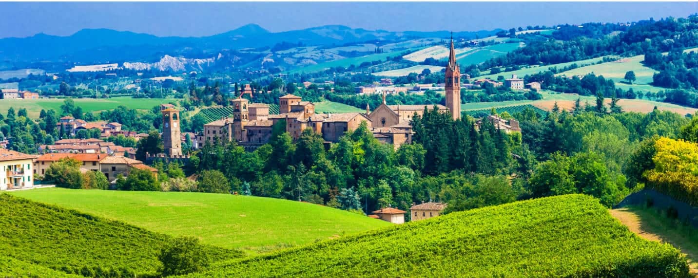
Castelvetro di Modena
Province: Modena · 152 m
A 152-meter hill borgo south of Modena whose checkerboard piazza sits above the slopes that grow Lambrusco Grasparossa.
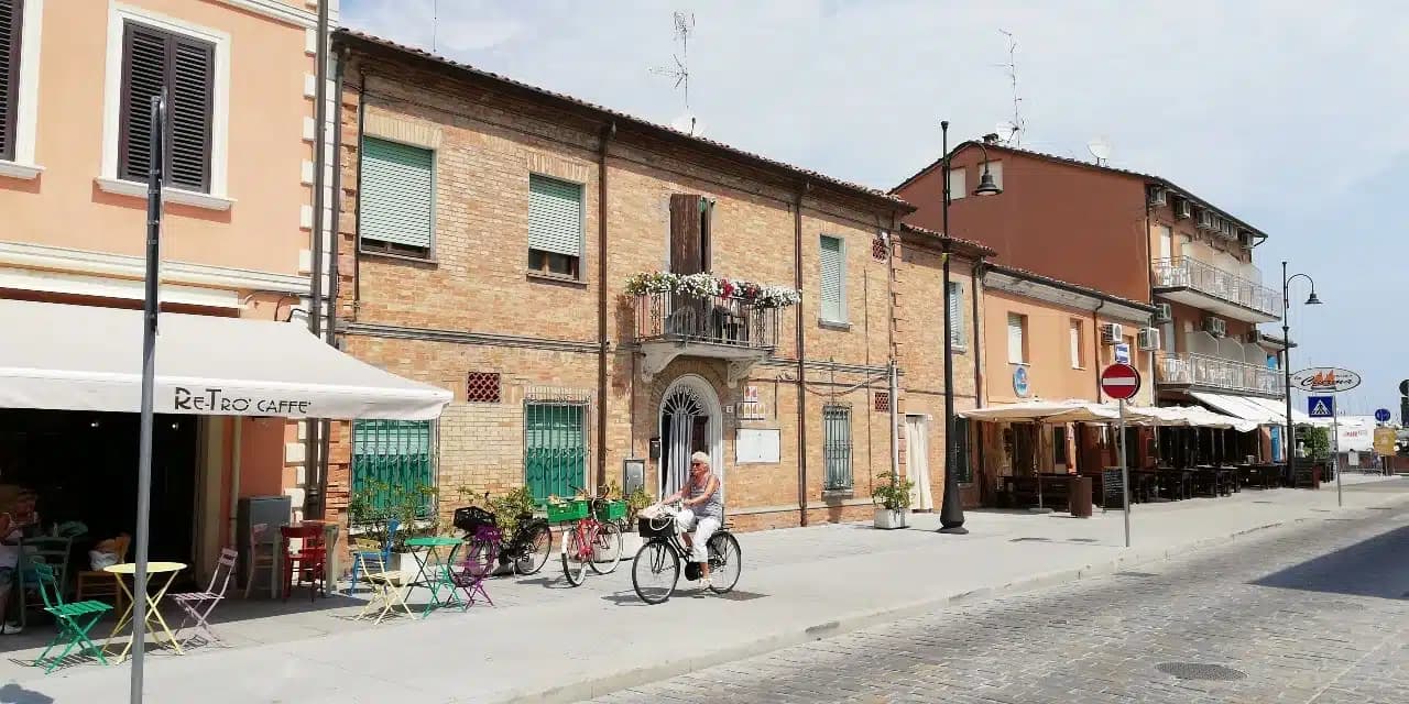
Cervia
Province: Ravenna · 2 m
The Adriatic salt town with 827 hectares of working saline, planned in 1697 around a grid of salt workers' houses.
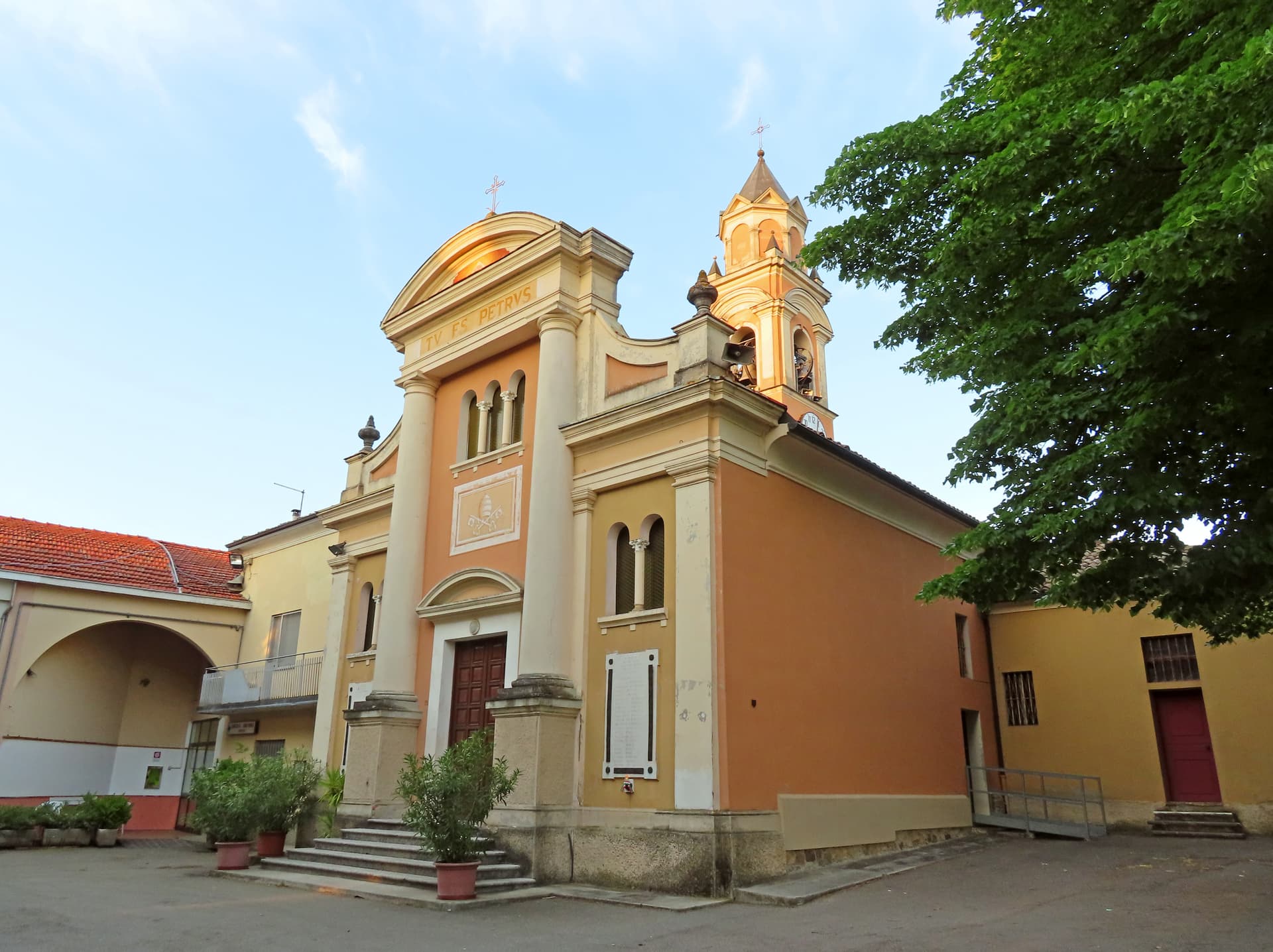
Collecchio
Province: Parma · 112 m
The Parma-cintura town on the Via Francigena, home to the Pieve di San Prospero, Parmalat, and Parma F.C.'s training ground.
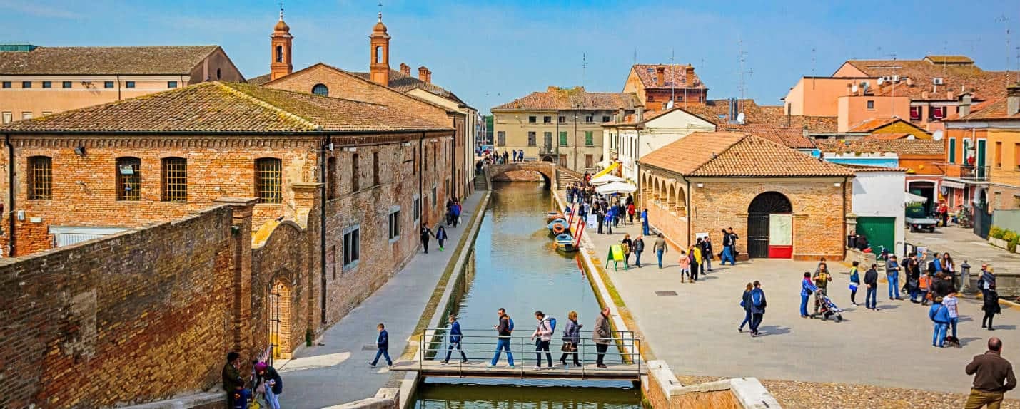
Comacchio
Province: Ferrara
A canal town on thirteen islets at the edge of the Po Delta, with brackish lagoons that hold three hundred bird species.
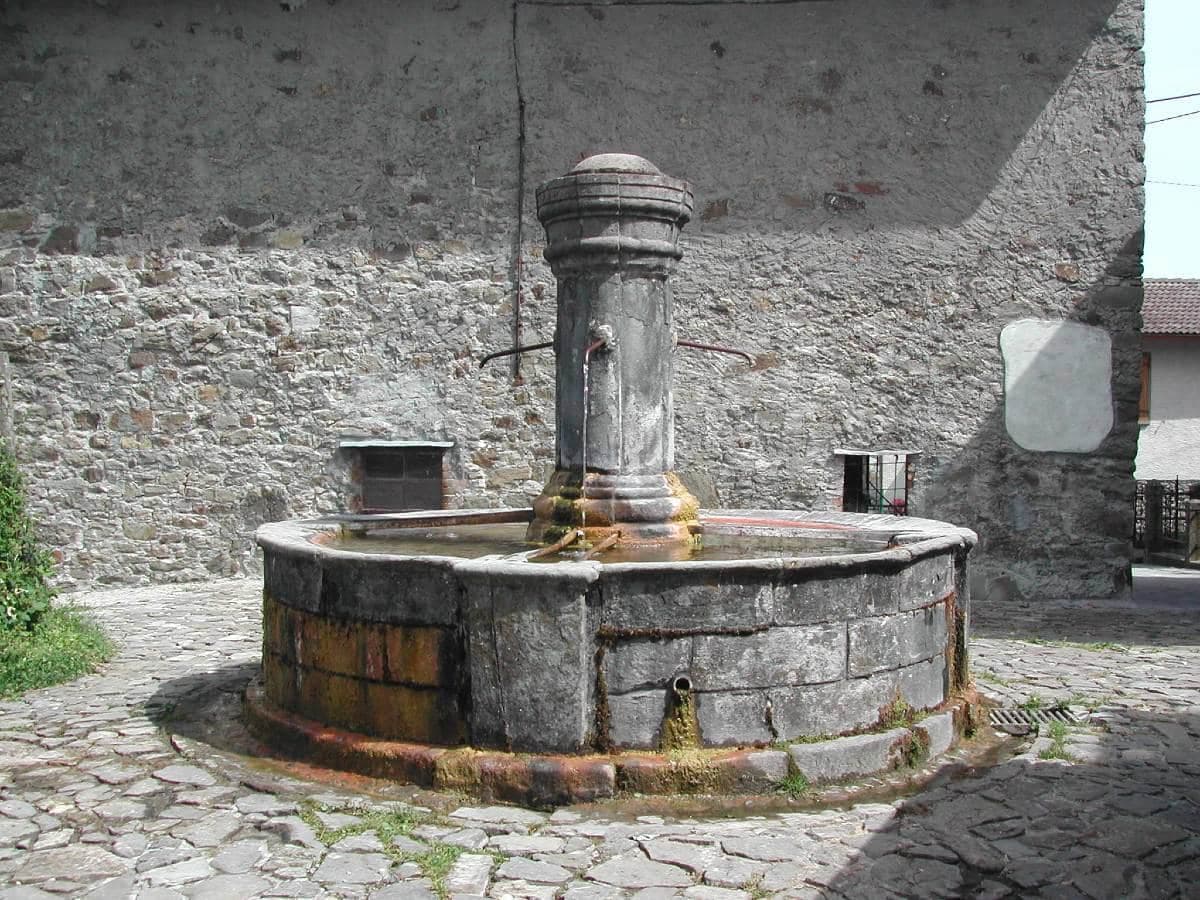
Corniglio
Province: Parma · 690 m
A 690-meter Parma-Apennine commune inside the Tosco-Emiliano park, with a thirteenth-century Rossi castle and the Lagdei plateau above.
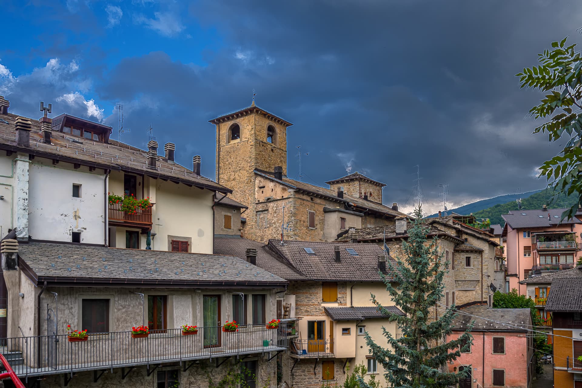
Fanano
Province: Modena · 640 m
A 640-meter stone-working town in the Modenese Apennines, set among Monte Cimone, Libro Aperto and the upper Frignano peaks.
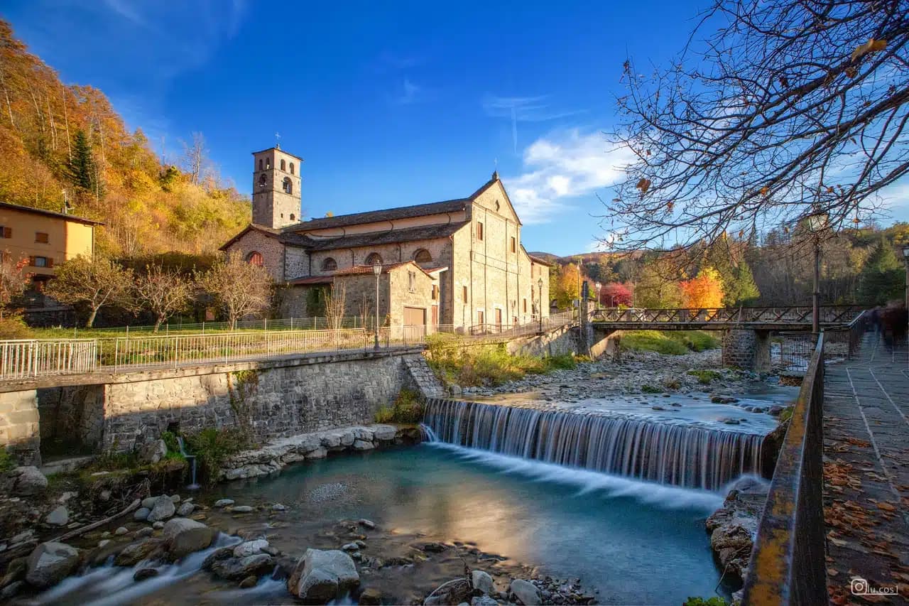
Fiumalbo
Province: Modena · 935 m
A 935-meter stone village in the Modenese Apennines on the Tuscan border, at the confluence of two rivers under Monte Cimone.
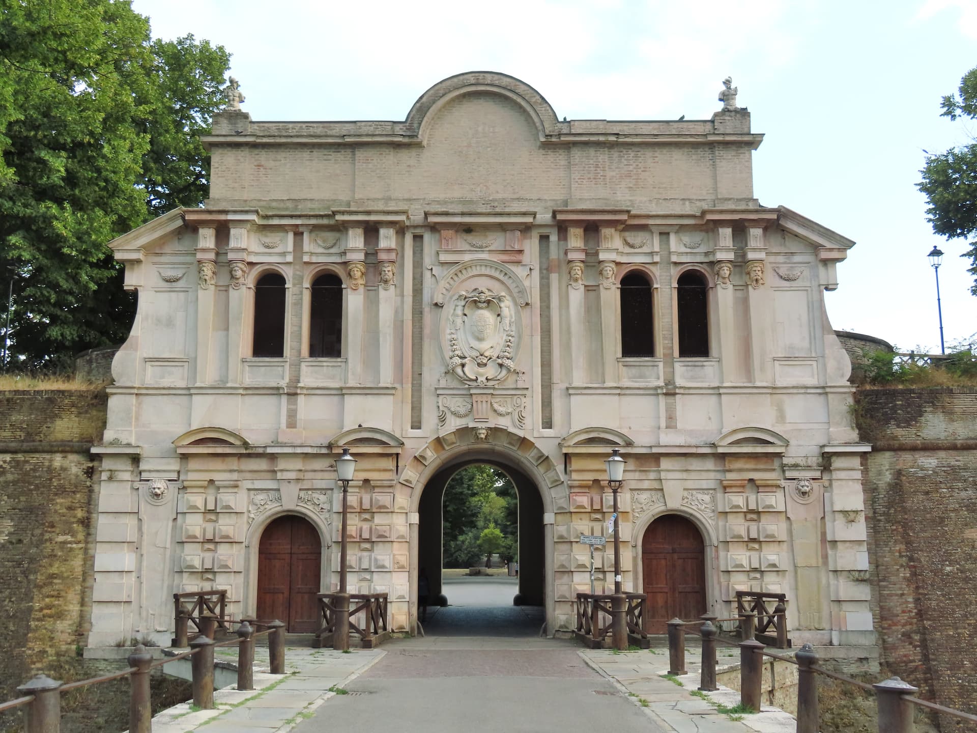
Parma
Province: Parma · 57 m
A 57-meter Po-plain capital on the Via Emilia, where Correggio painted the Duomo dome and Parmigiano ages in vaults across the province.
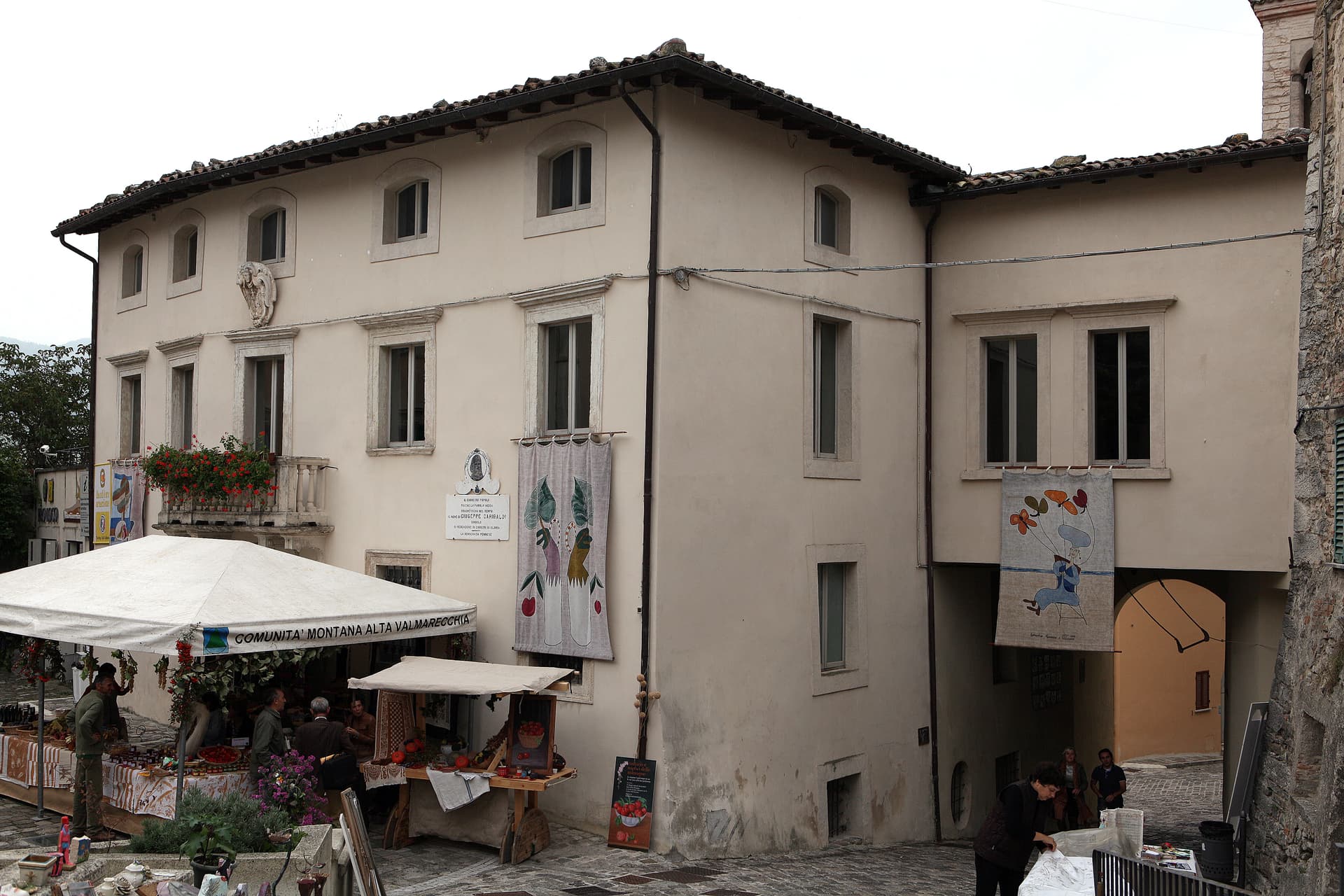
Pennabilli
Province: Rimini · 629 m
A 629-meter Montefeltro borgo between the Roccione and the Rupe, rebuilt as a poet's open-air museum by Tonino Guerra after 1989.
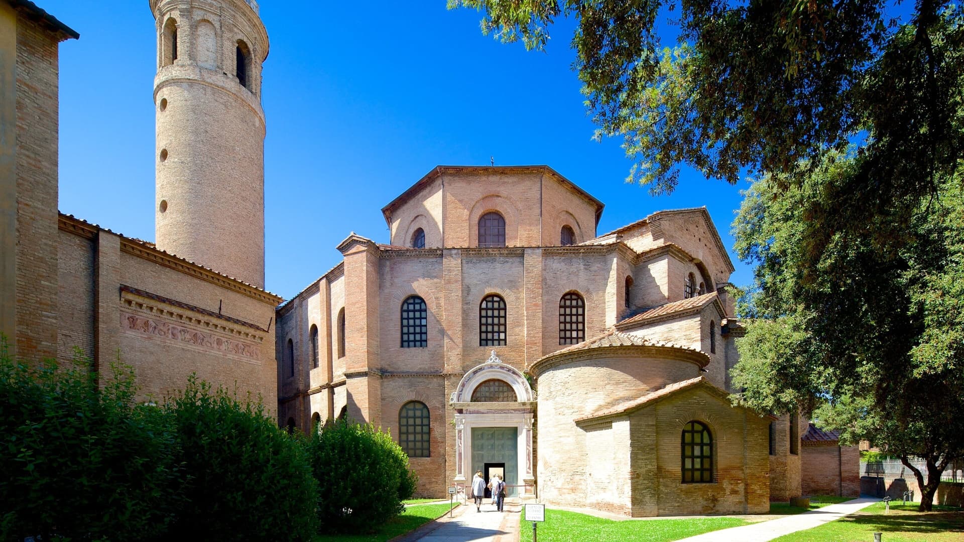
Ravenna
Province: Ravenna · 4 m
A 4-meter coastal capital of three successive empires, with eight UNESCO mosaic monuments from the fifth and sixth centuries.
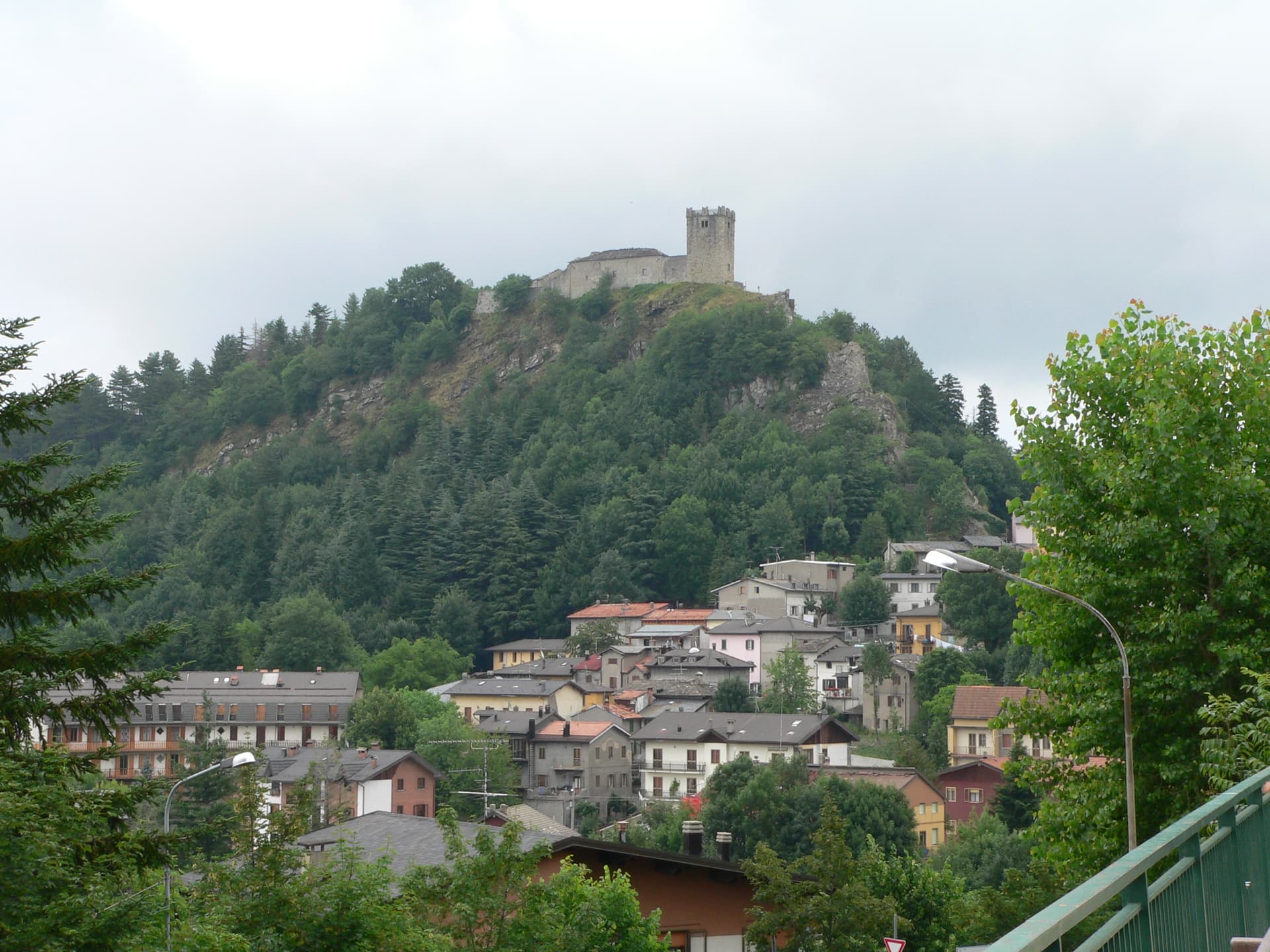
Sestola
Province: Modena · 1,020 m
A 1,020-meter Apennine town under Monte Cimone, with a Lombard-era castle above and the largest ski domain of central Italy on the slopes.
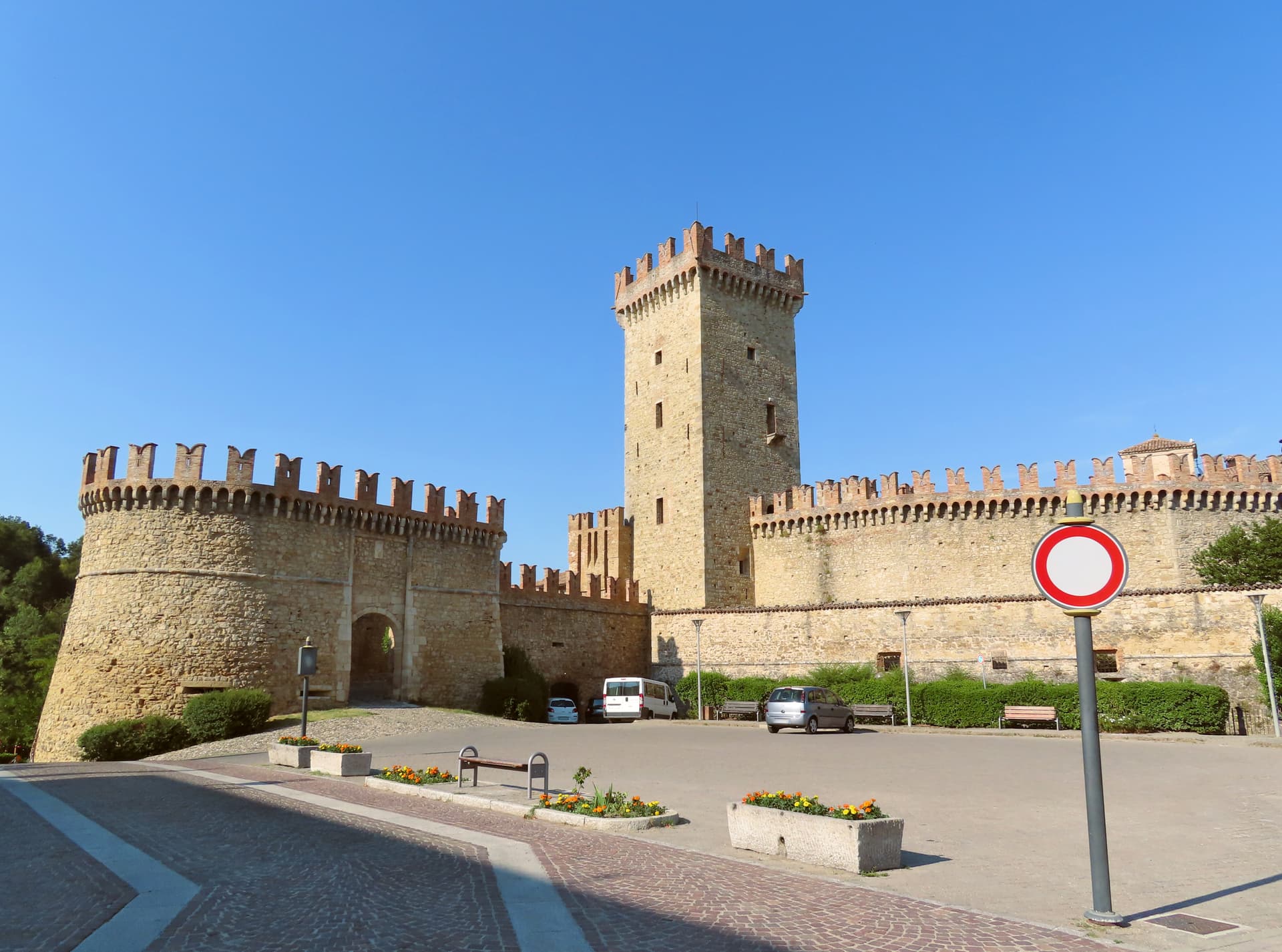
Vernasca
Province: Piacenza · 457 m
A Val d'Arda commune in the Piacenza Apennines, holding the walled village of Vigoleno and one of the most compact castled borghi in Emilia.
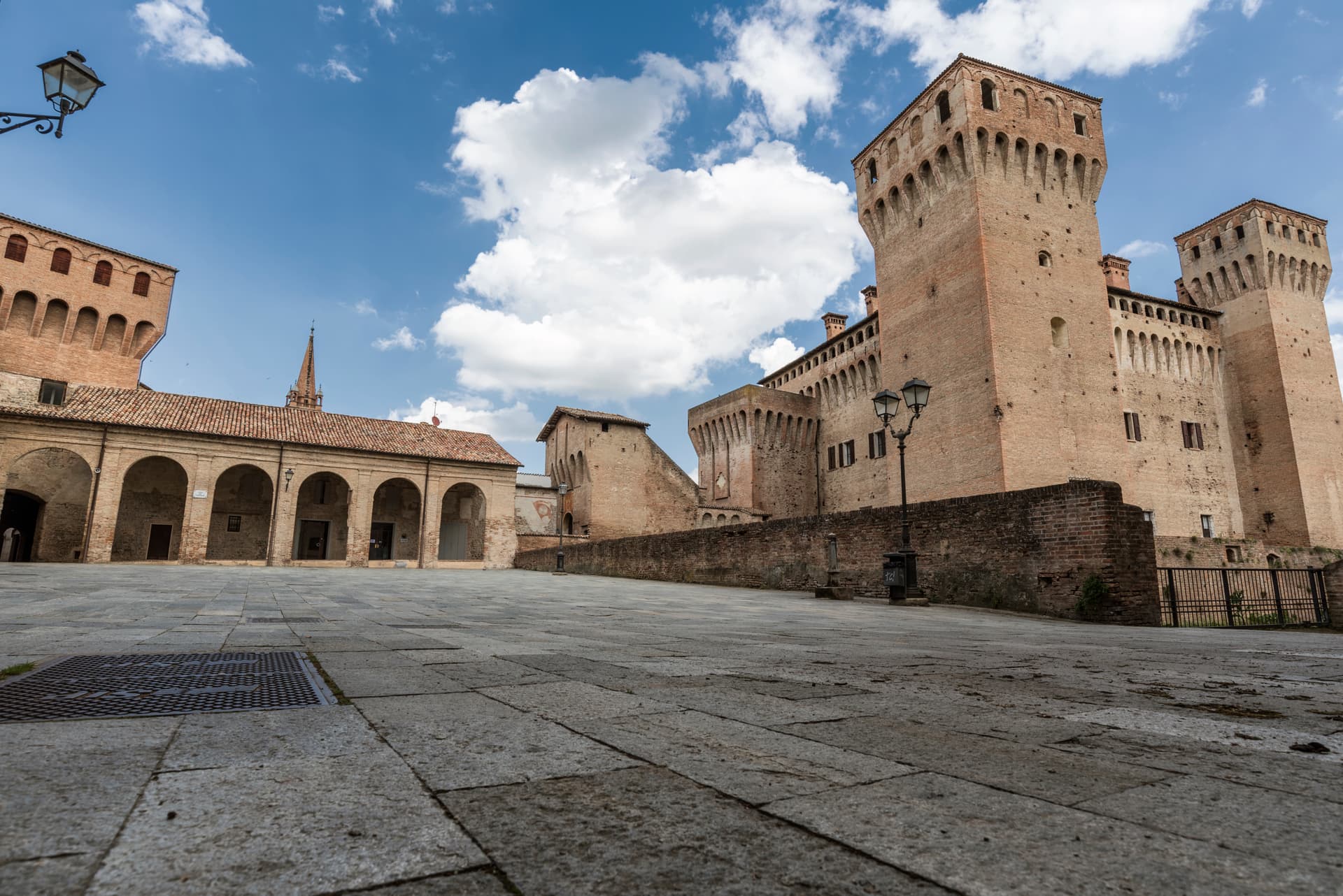
Vignola
Province: Modena · 125 m
The cherry-and-castle town on the Panaro at 125 meters, with the Contrari fortress and Barozzi's self-supporting 1500s spiral staircase.
Friuli-Venezia Giulia3
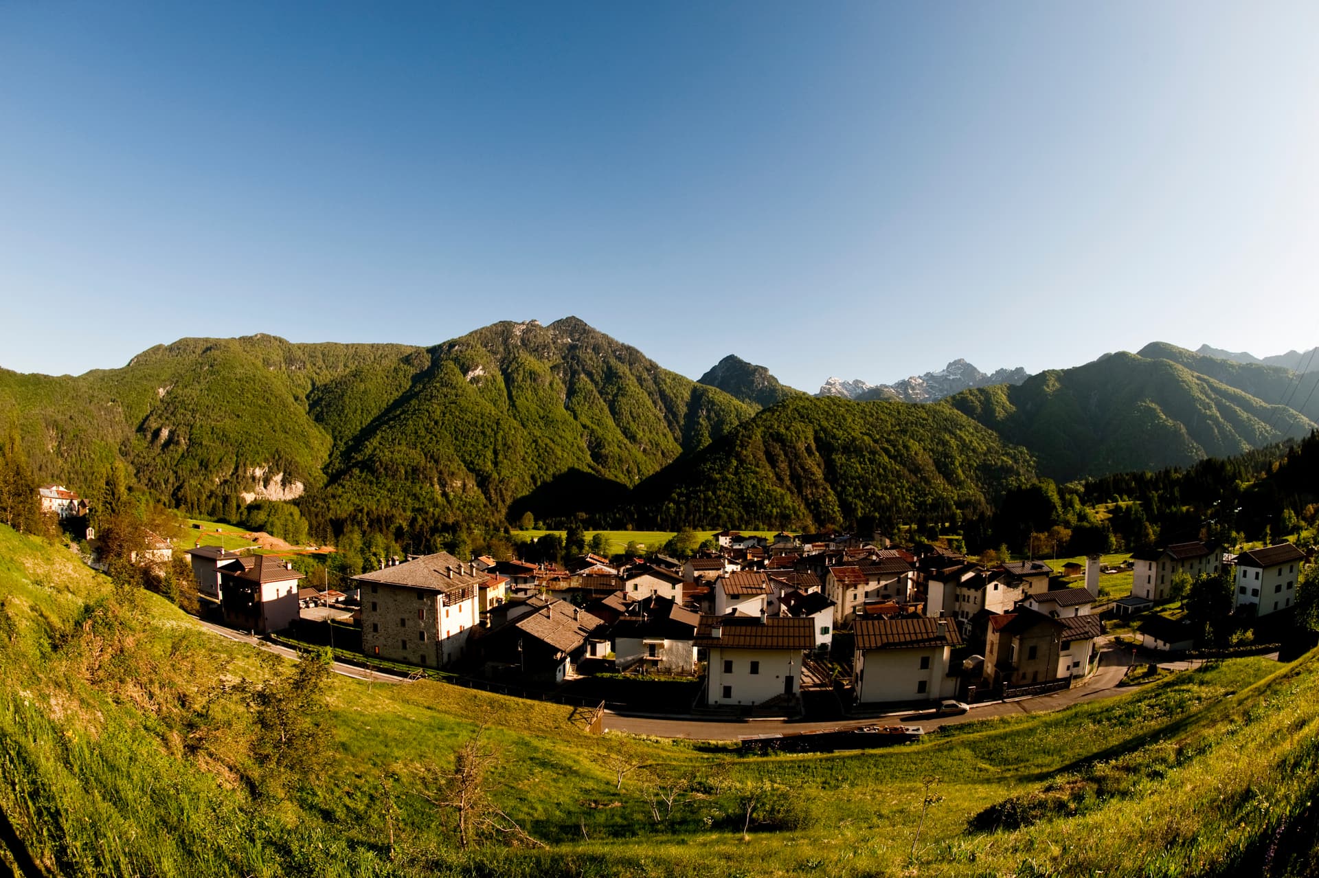
Forni di Sotto
Province: Udine · 791 m
Carnia's Dolomite gateway — a 548-resident alpine borgo at 791m at the head of the Val Tagliamento, gateway to the Parco Naturale delle Dolomiti Friulane (UNESCO Dolomites), with Borgo Autentico mark, a centro almost entirely rebuilt after the 1944 German wartime burning, and direct access to the Forni Avoltri-Sappada ski + hiking circuit.

Frisanco
Province: Pordenone · 415 m
A 572-resident commune in the Val Colvera whose frazione Poffabro, at 525 meters, became a model of Prealpine stone-and-wood vernacular architecture.
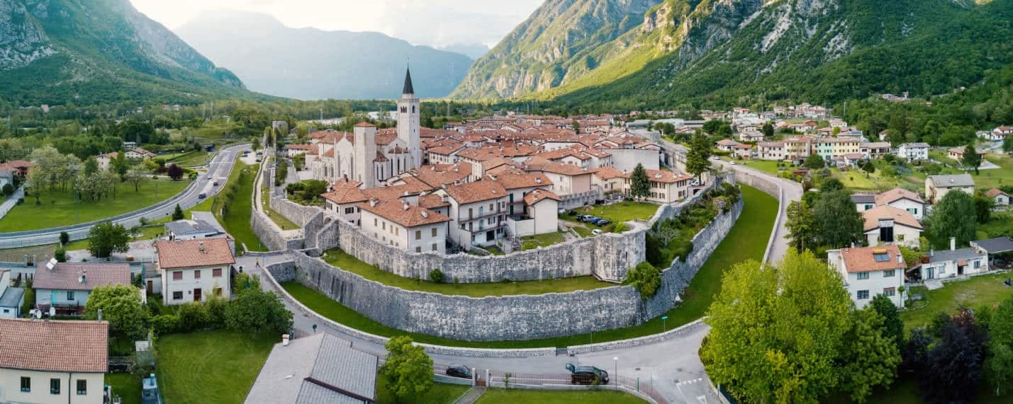
Venzone
Province: Udine · 230 m
A 230-meter walled medieval town in the Tagliamento valley, leveled by the 1976 earthquake and rebuilt stone by stone, winner of Borgo dei Borghi 2017.
Lazio21
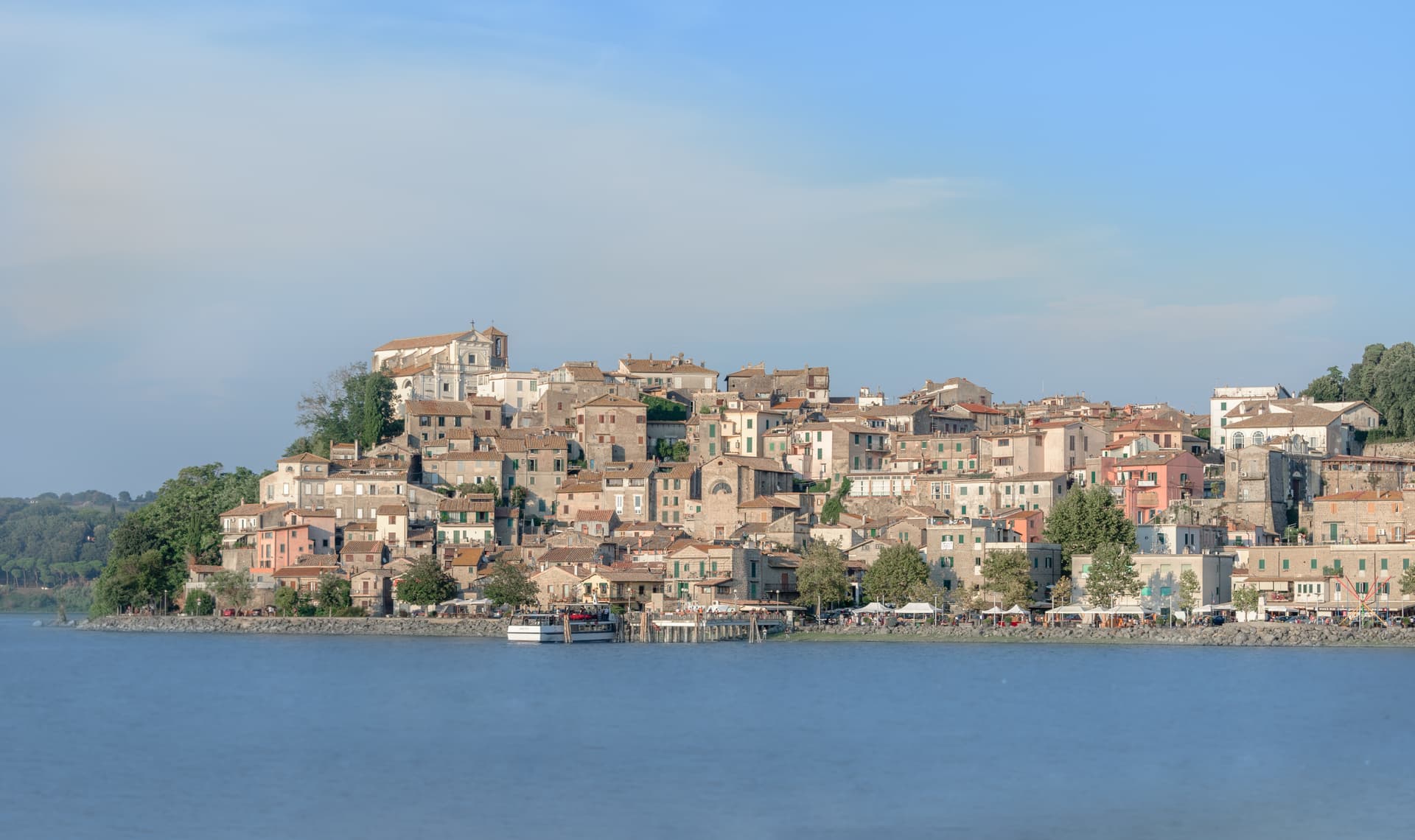
Anguillara Sabazia
Province: Roma · 195 m
A medieval cape town jutting into Lake Bracciano, twenty-five kilometers from Rome, built above a 5700 BC Neolithic lakeshore village.
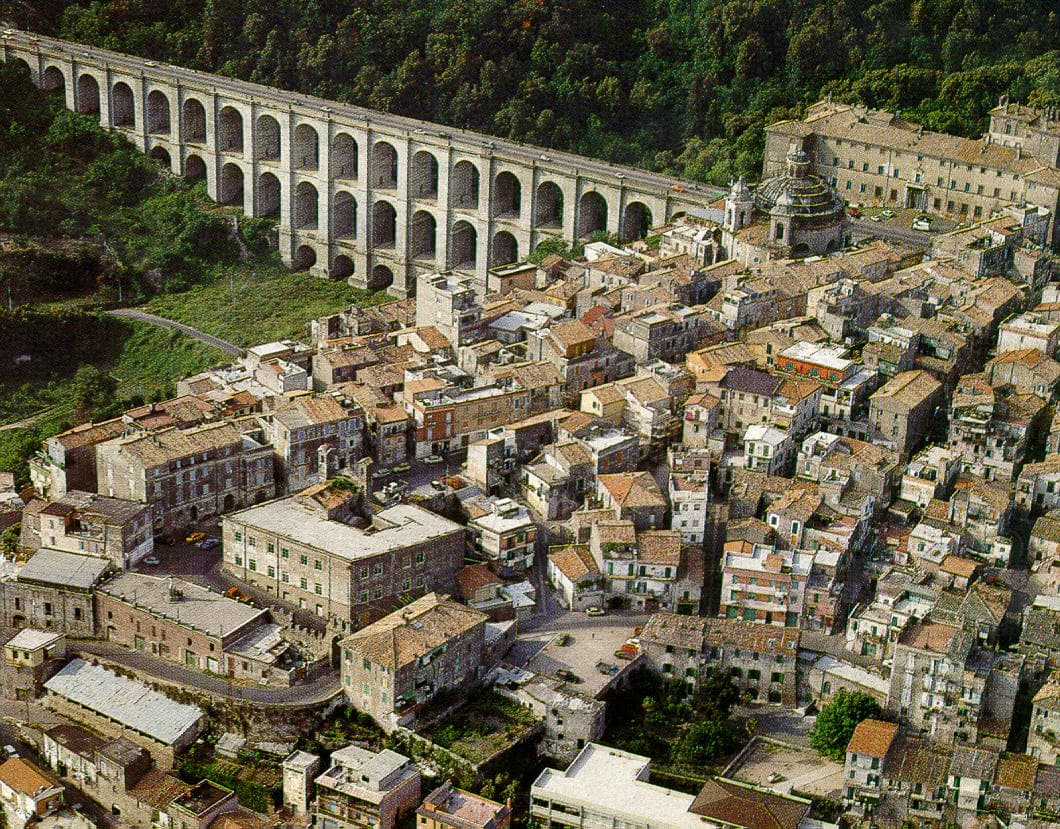
Ariccia
Province: Roma · 412 m
The Castelli Romani town where you go for porchetta — a Bernini-designed Baroque ensemble (palazzo + Santa Maria dell'Assunzione + Piazza di Corte) on a volcanic crater rim 25 km south of Rome, with the most concentrated cluster of fraschette porchetta restaurants in Italy and Lago di Albano below.
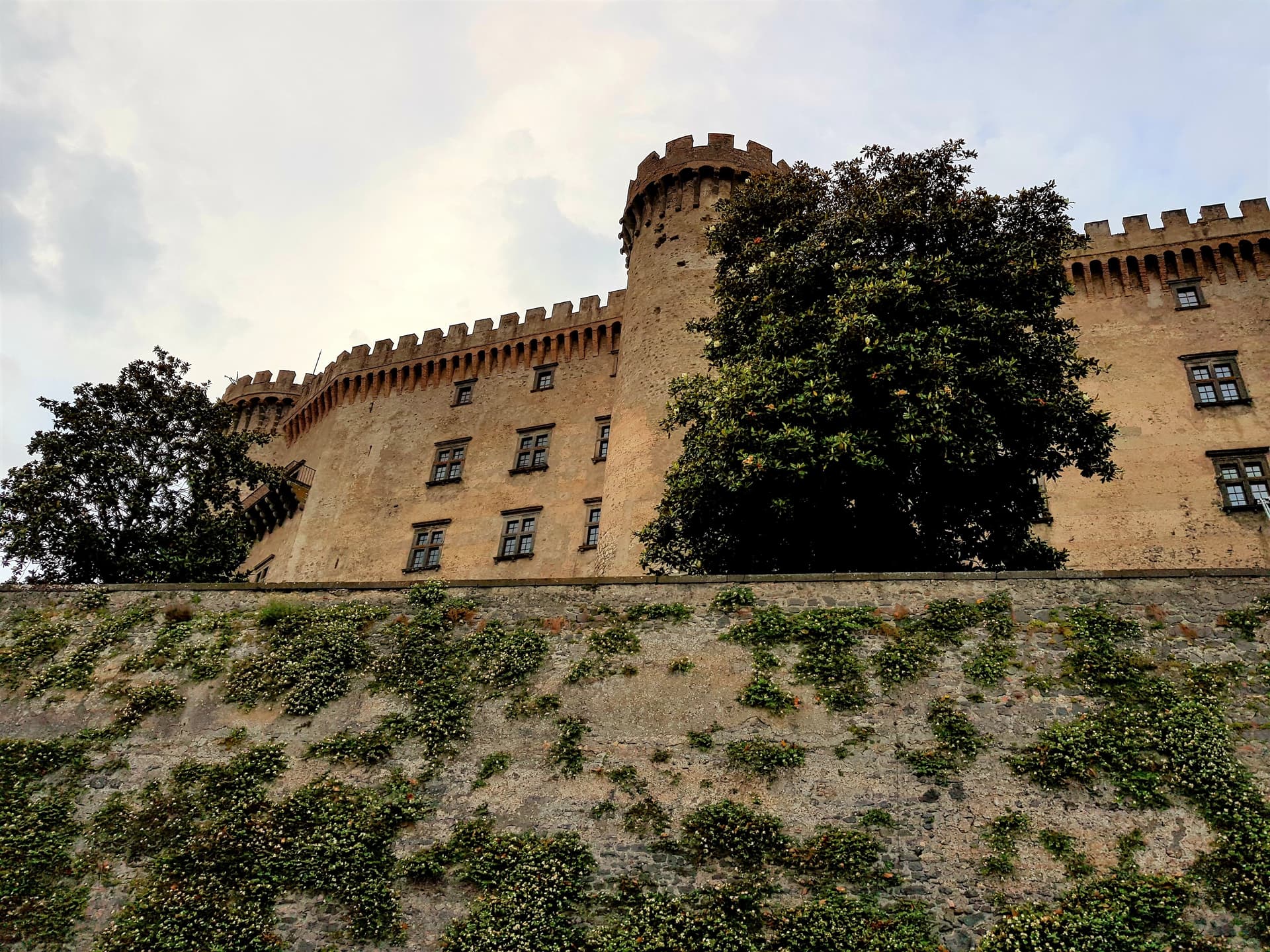
Bracciano
Province: Roma · 280 m
The Lazio lake town with the eighth-largest lake in Italy below it and one of the best-preserved Renaissance castles in the country above it.
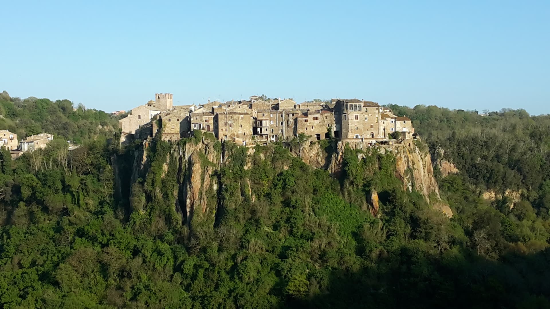
Calcata
Province: Viterbo · 220 m
A tufa-cliff village forty kilometers north of Rome, condemned and abandoned in the 1930s, then occupied by artists and never left.
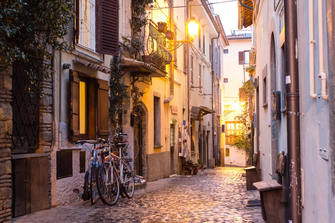
Castel Gandolfo
Province: Roma · 426 m
A papal town on the rim of Lake Albano's volcanic crater, summer residence of the popes since 1626 in the Castelli Romani.
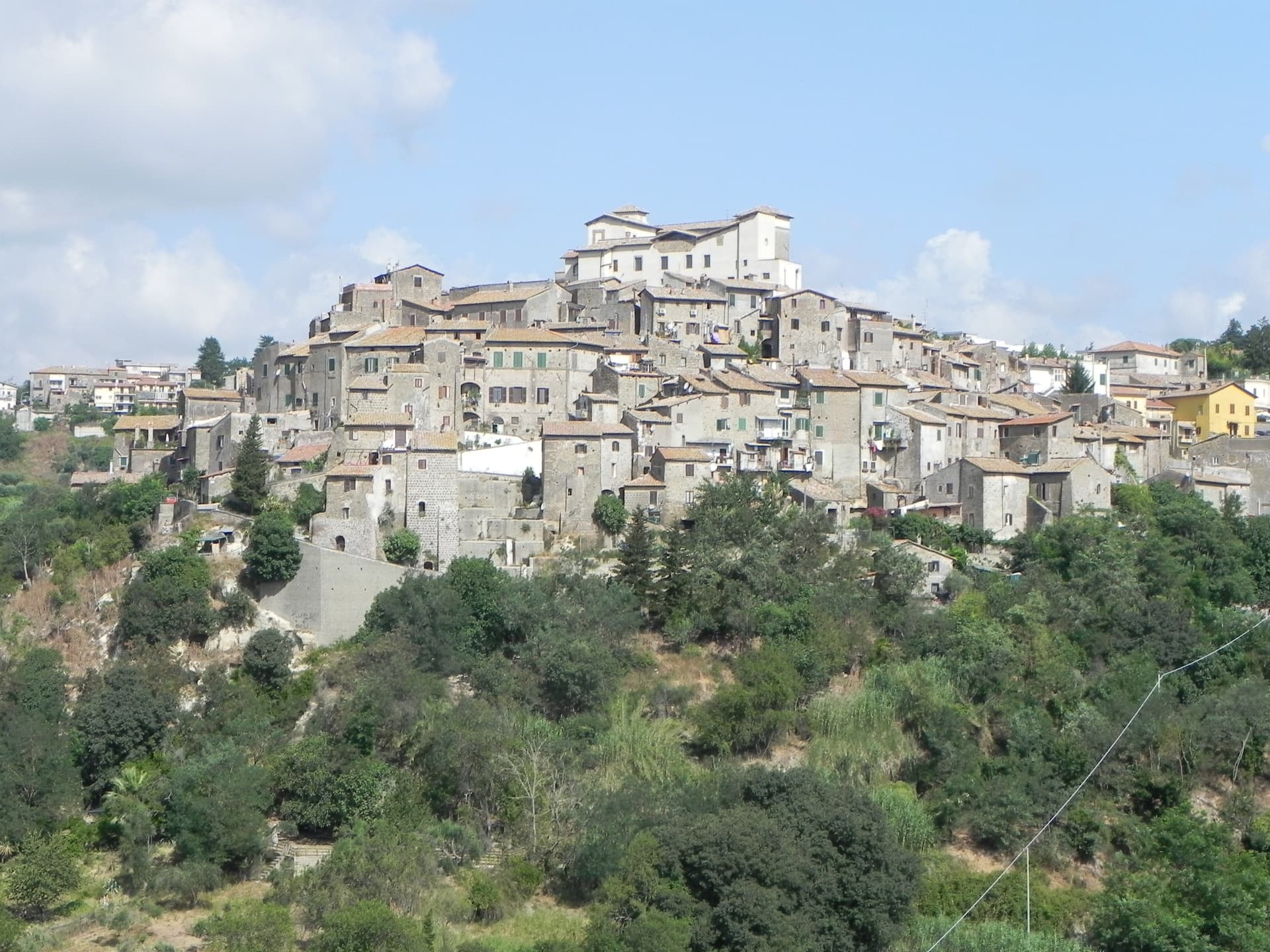
Castelnuovo di Porto
Province: Roma · 250 m
A tufa-ridge borgo twenty-five kilometers north of Rome inside the Parco di Veio, dominated by the Rocca Colonna above the Tiber valley.
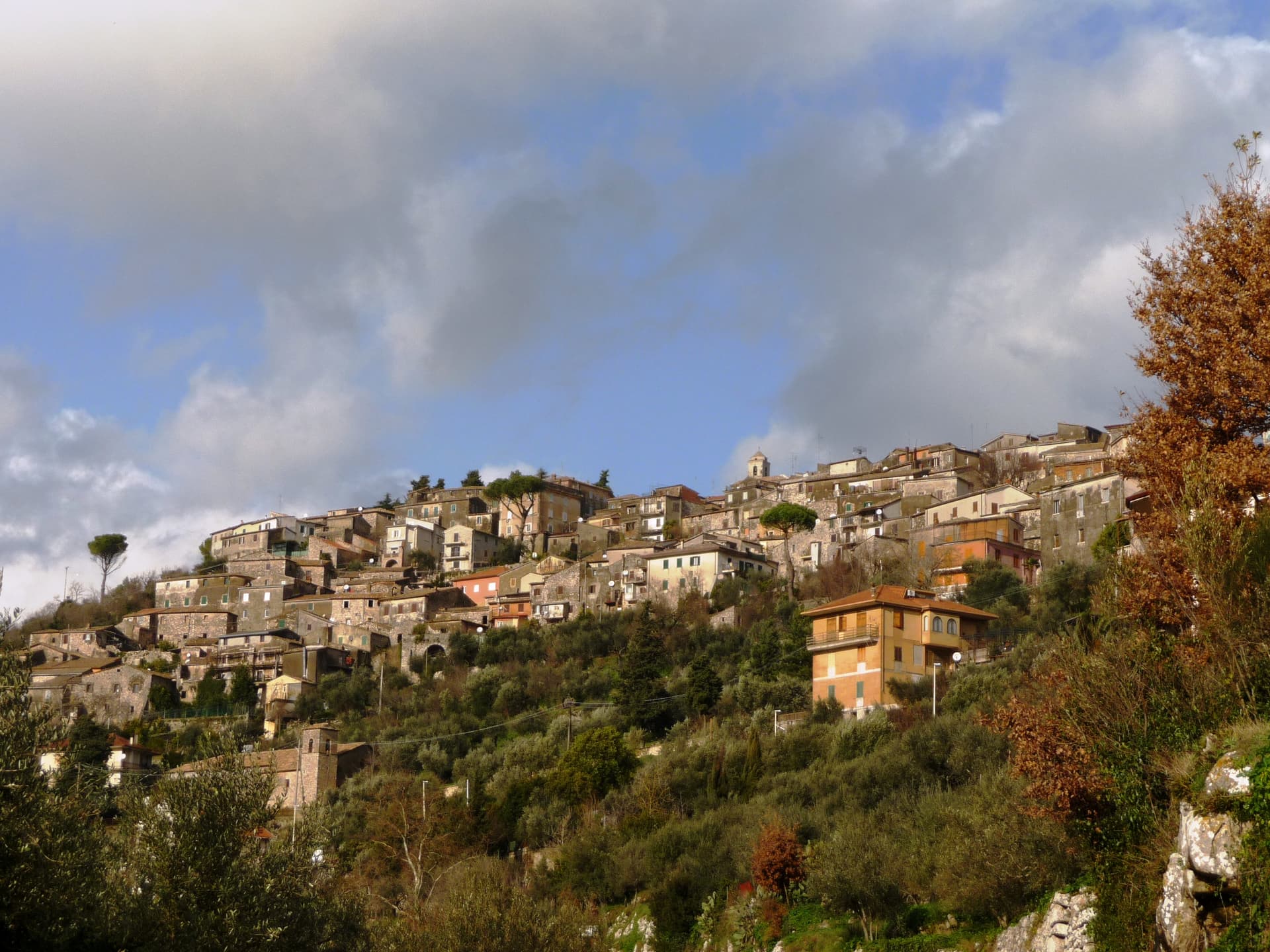
Castro dei Volsci
Province: Frosinone · 385 m
A Ciociaria hilltop borgo at 385 meters in the Sacco valley, named for the pre-Roman Volsci and birthplace of actor Nino Manfredi.
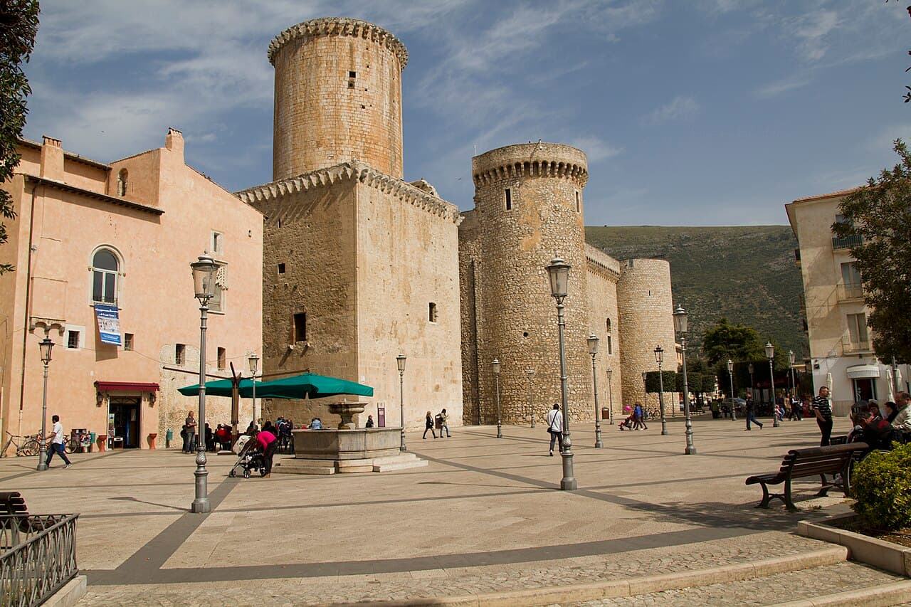
Fondi
Province: Latina · 9 m
The plain town between the Ausoni and Aurunci mountains where the Caetani built a castle in the middle of farmland instead of on a hill.
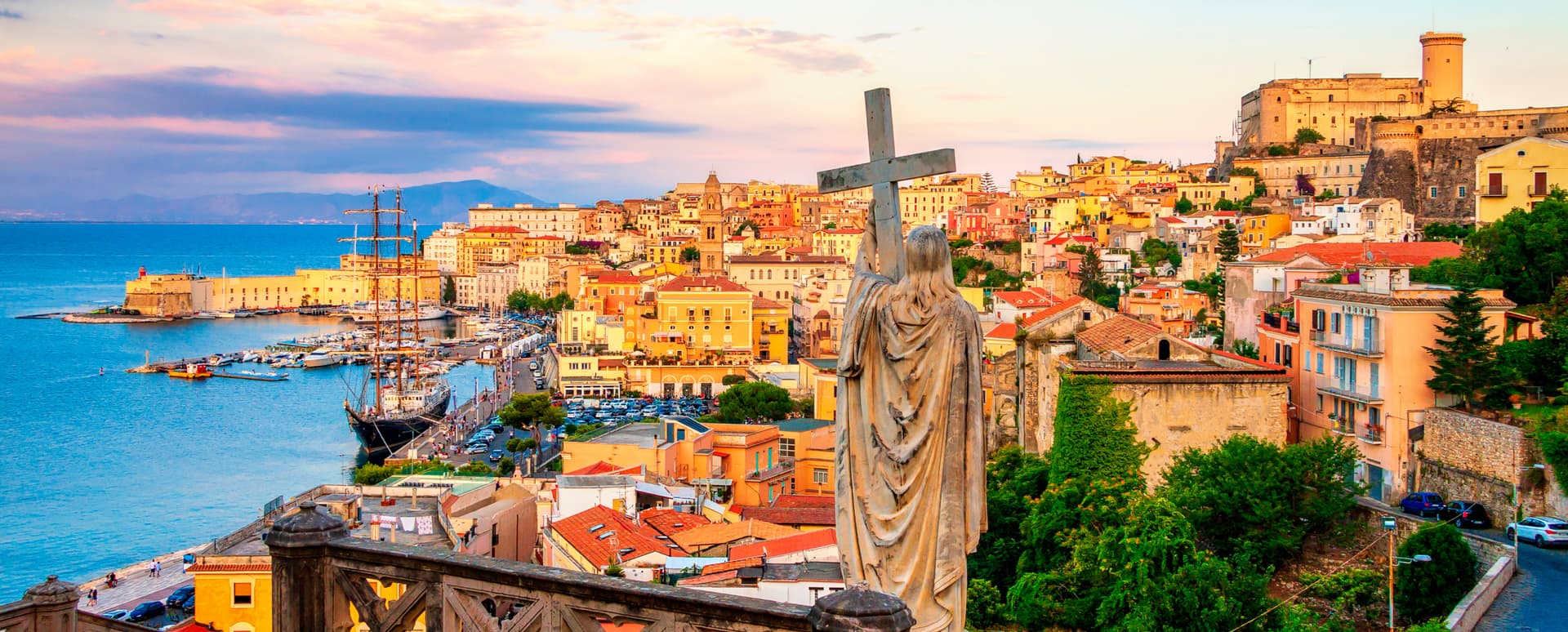
Gaeta
Province: Latina · 2 m
The promontory port where the Bourbon Kingdom of the Two Sicilies fell in February 1861 and the south of Italy stopped existing as a state.
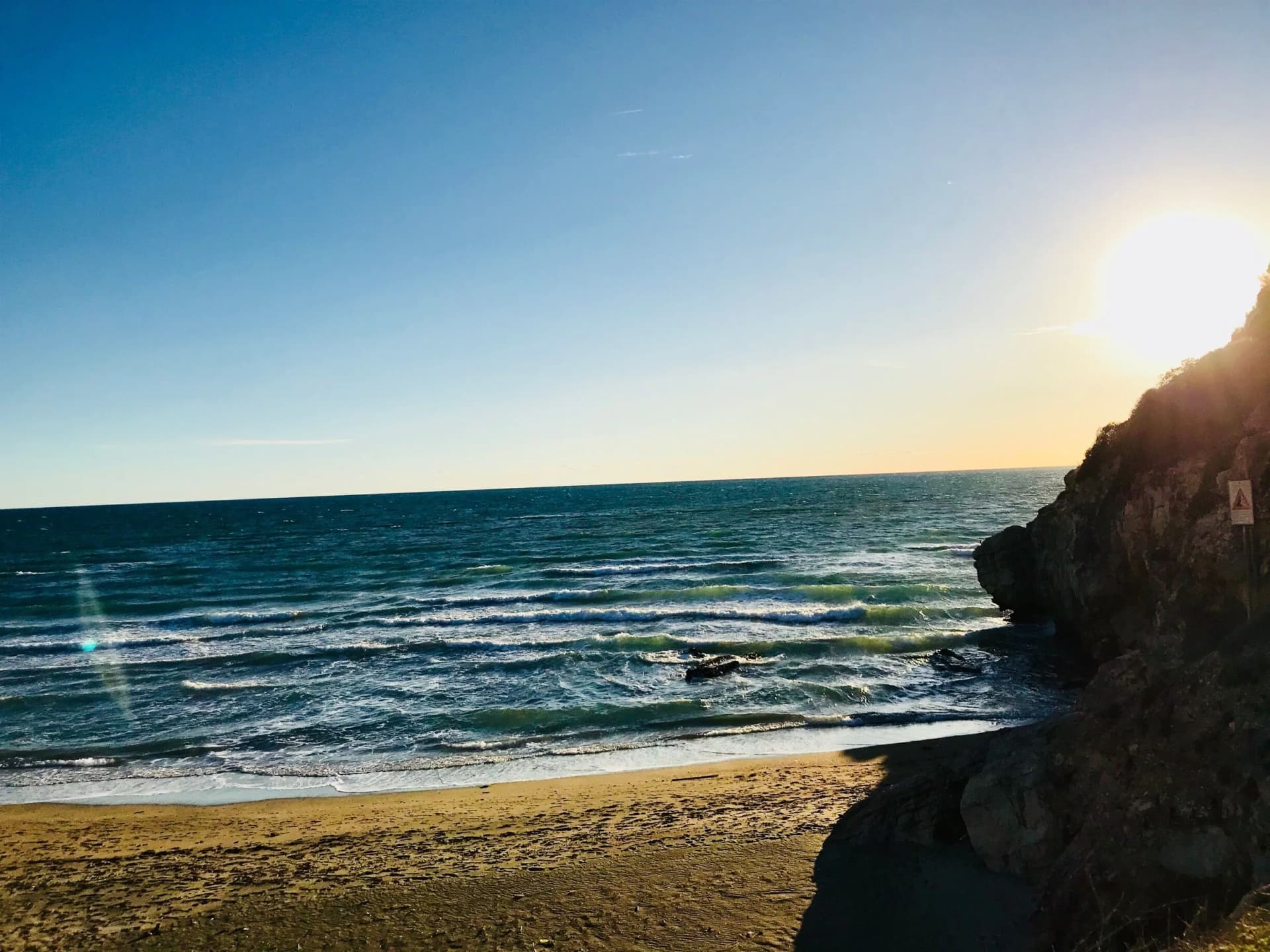
Minturno
Province: Latina · 140 m
A coastal comune at the mouth of the Garigliano, built on the Roman colony of Minturnae, five-time Bandiera Blu through Scauri and Marina.
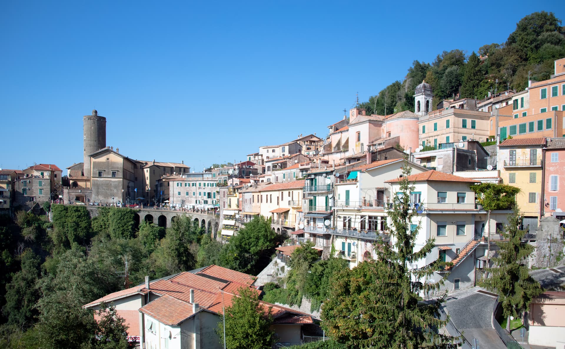
Nemi
Province: Roma · 521 m
The smallest comune in the Castelli Romani, perched at 521 meters above a volcanic crater lake the Romans called the mirror of Diana.
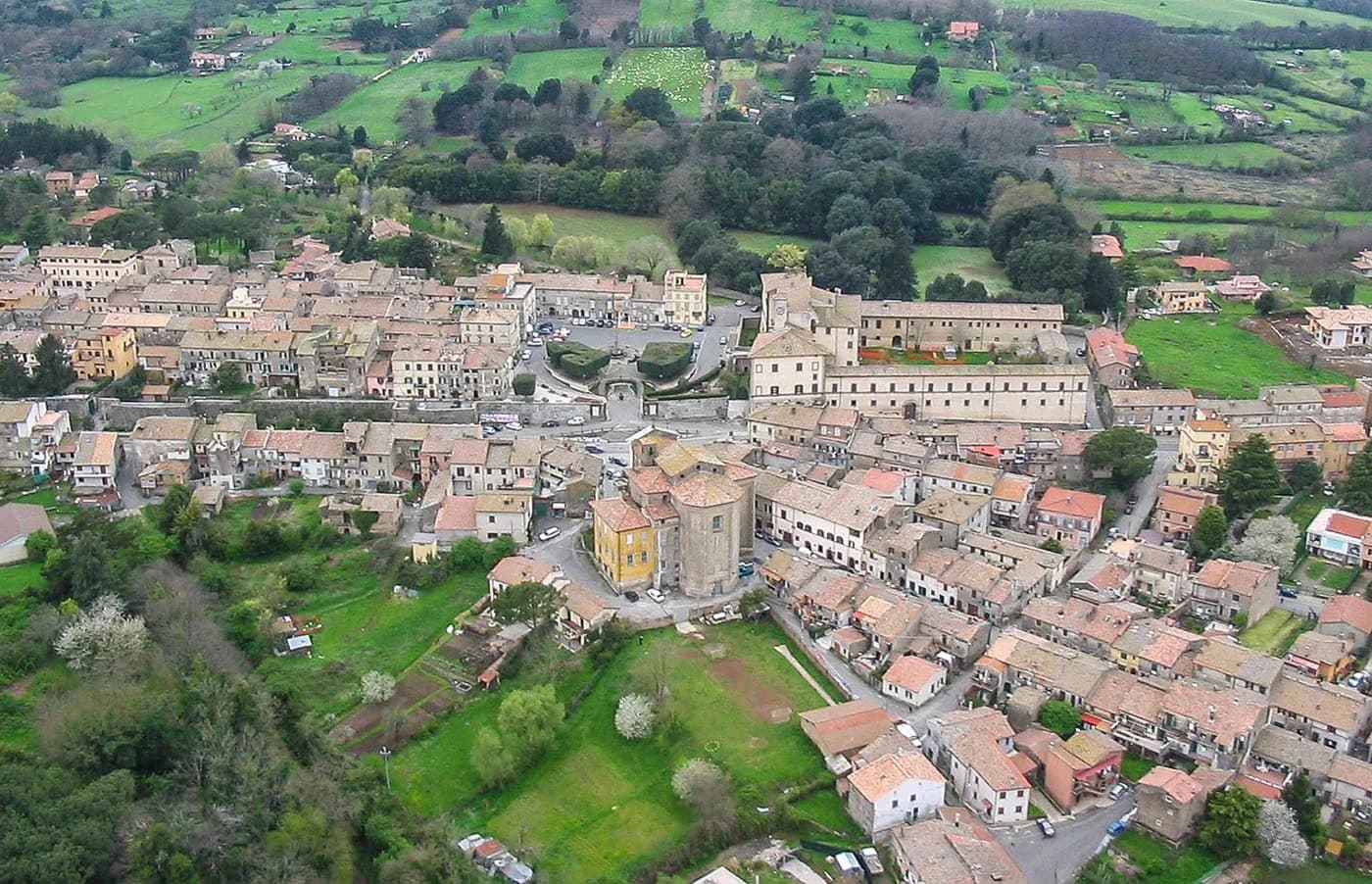
Oriolo Romano
Province: Viterbo · 420 m
A planned sixteenth-century village in the Sabatini hills, founded in 1560 by a Santacroce nobleman next to the UNESCO beech forest of Monte Raschio.
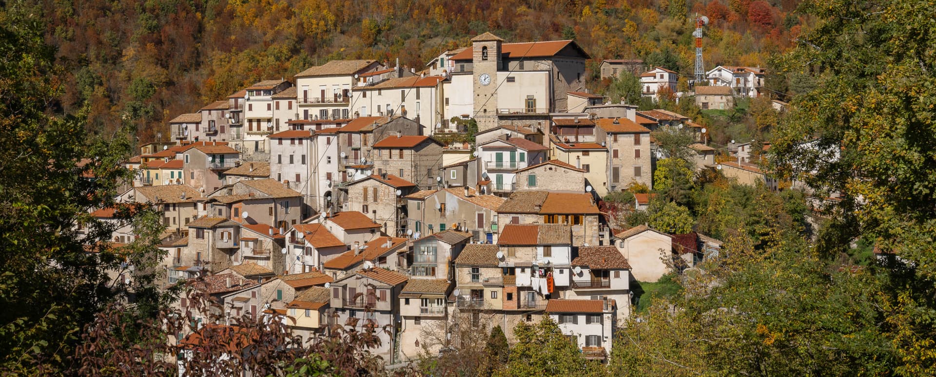
Orvinio
Province: Rieti · 840 m
The highest borgo in the Monti Lucretili park at 840 meters, called Canemorto until 1863 and dominated by the Castello Malvezzi-Campeggi.
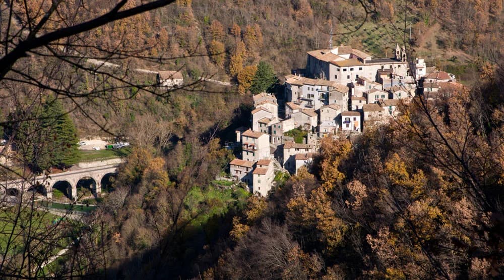
Percile
Province: Roma · 575 m
A 219-person medieval borgo at 575 meters in the Monti Lucretili park, with two karst lakes called Lagustelli hidden in the beech woods above.
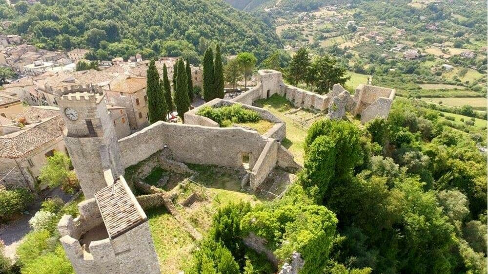
Pico
Province: Frosinone · 220 m
Tommaso Landolfi's home town — a 2,634-resident Ciociaria borgo at 220m on the Monti Ausoni between Rome and Naples, with the Castello Baronale dei Boncompagni (now the Casa Museo Tommaso Landolfi for the eccentric 20th-c Italian fantastic-realism writer), a BPB-inscribed medieval centro, and the surrounding Monti Ausoni hiking + wild boar country.
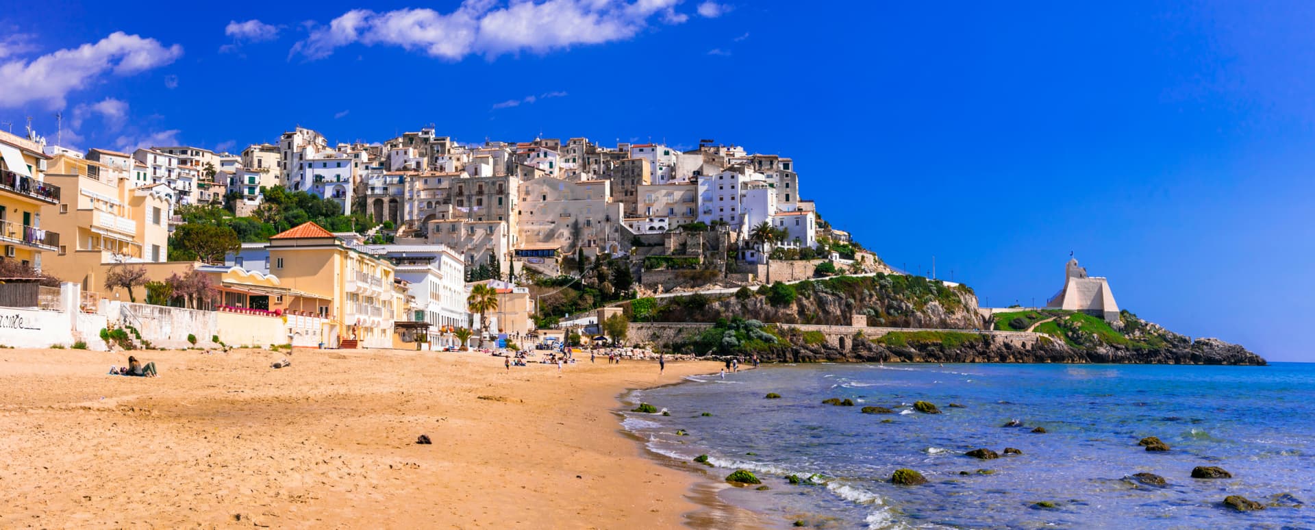
Sperlonga
Province: Latina · 55 m
A whitewashed cliff town on Monte San Magno halfway between Rome and Naples, built above the sea grotto where Tiberius staged the Odyssey in marble.
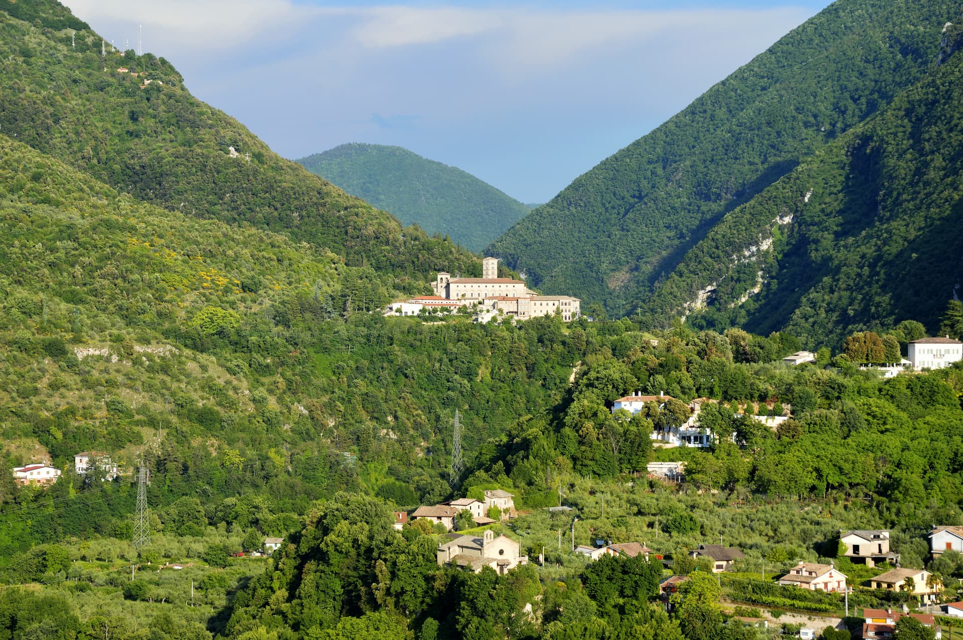
Subiaco
Province: Roma · 408 m
The Aniene valley town where Benedict spent three years in a cliff cave, and where Italy's first printed book appeared in 1465.
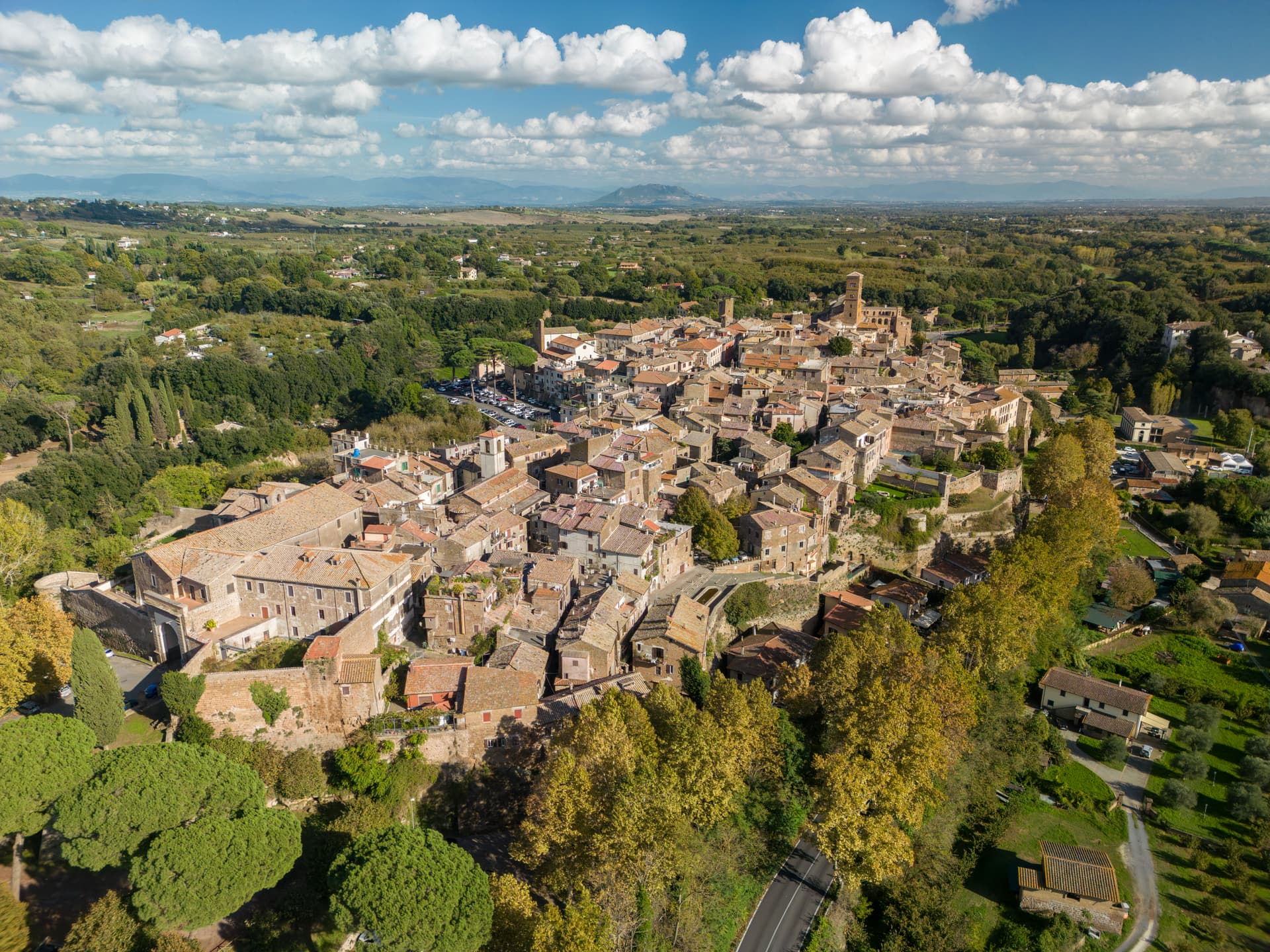
Sutri
Province: Viterbo · 291 m
An Etruscan and Roman town on a tuff spur, with a rock-cut amphitheater carved straight from the volcanic stone of the Cimini.
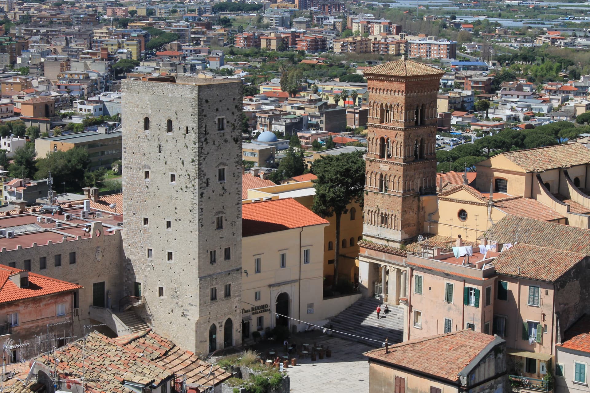
Terracina
Province: Latina · 24 m
The Volscian Anxur on the Via Appia, where Jupiter's temple sits 227 meters above a port Trajan cleared through stone.
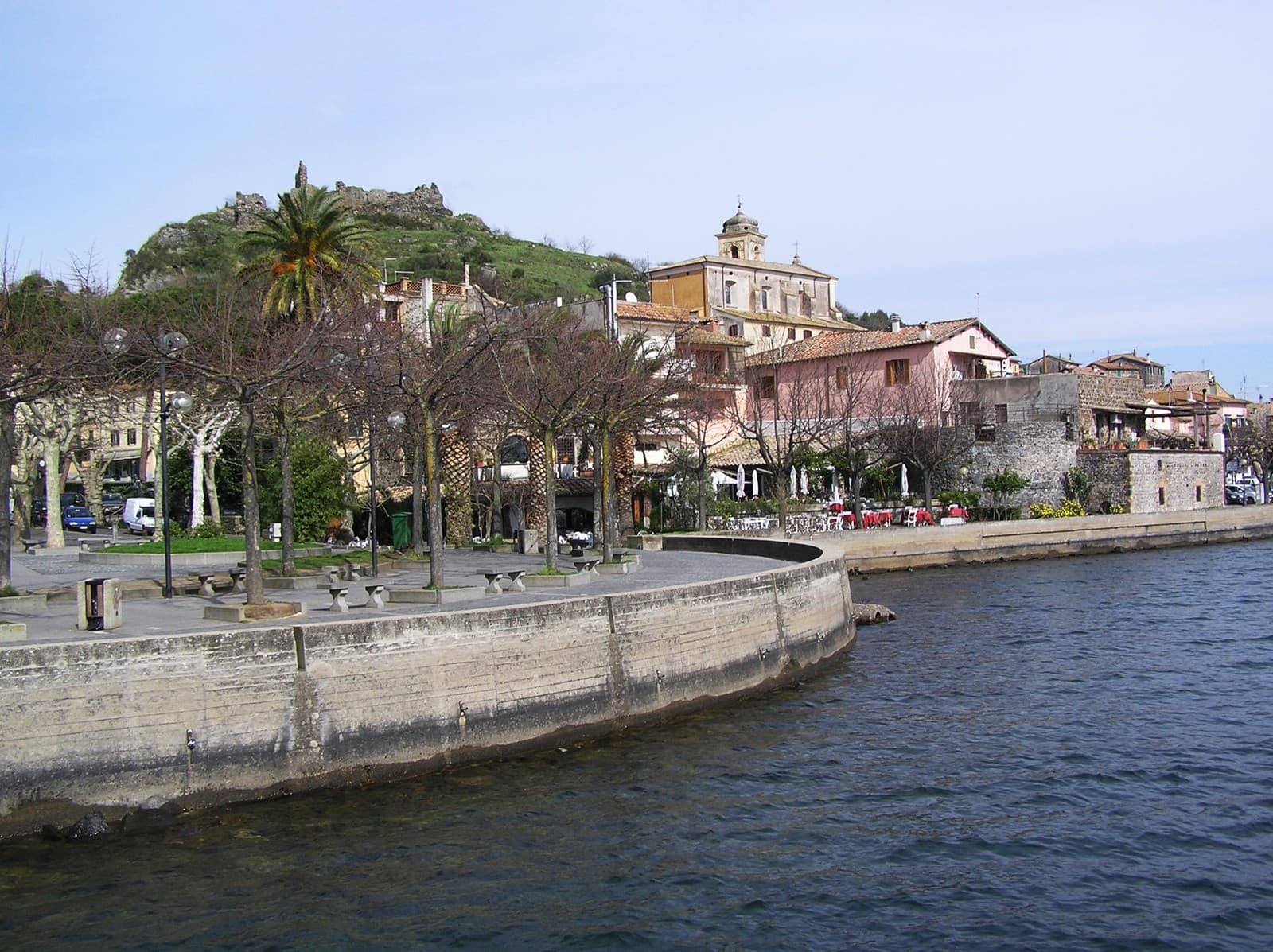
Trevignano Romano
Province: Roma · 173 m
A volcanic-crater lake town on the northern shore of Bracciano, thirty-five kilometers from Rome, with a medieval rocca above the water.
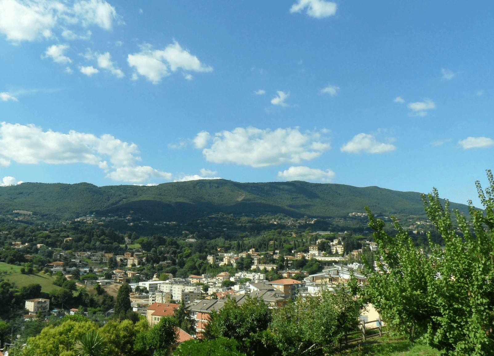
Velletri
Province: Roma · 332 m
The Castelli Romani town where Augustus grew up, now the largest wine commune in the Alban Hills.
Liguria15
- ✷ We've been
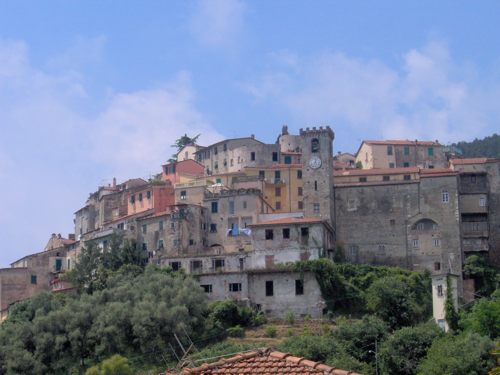
Ameglia
Province: La Spezia · 89 m
A hilltop borgo at 89 meters above the mouth of the Magra, the Lunigiana edge of Liguria where the river meets the Gulf of Poets.
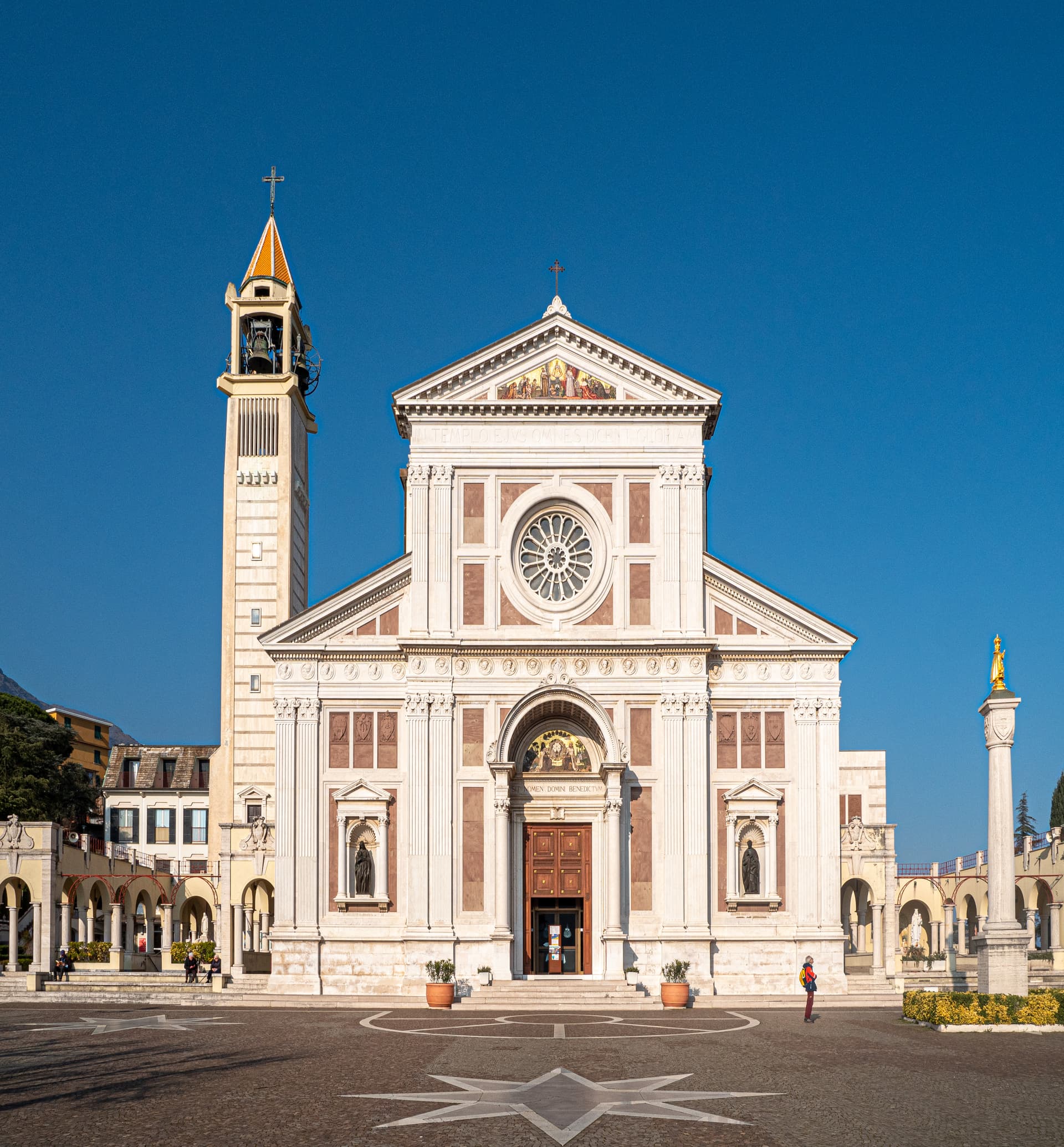
Arenzano
Province: Genova · 12 m
A coastal town twenty kilometers west of Genova where two-thirds of the territory climbs into the Parco del Beigua and peaks above a thousand meters.
- ✷ We've been
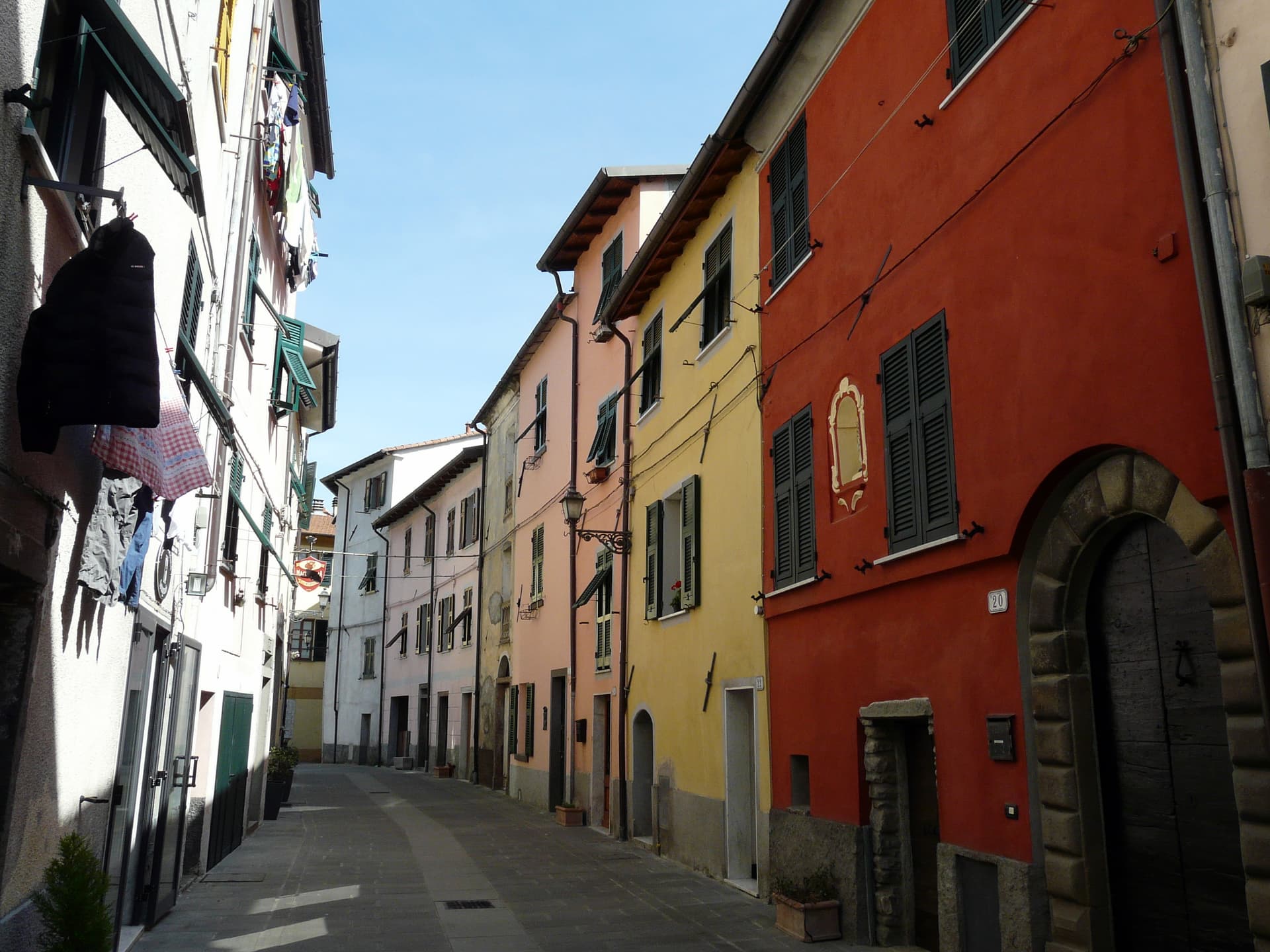
Brugnato
Province: La Spezia · 115 m
The medieval ecclesiastical capital of the Val di Vara, seat of a diocese from 1133 to 1820, with a co-cathedral built over a Columban monastery.
- ✷ We've been
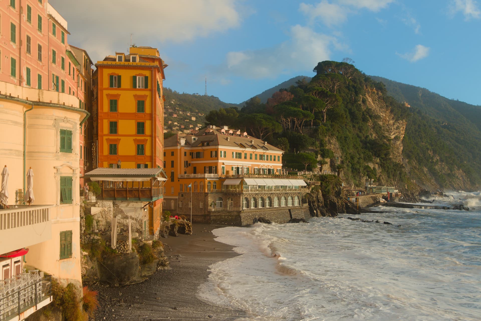
Camogli
Province: Genova · 32 m
A fishing village on the Golfo Paradiso whose nineteenth-century fleet of a thousand white sails made it Italy's third maritime power in the Mediterranean.
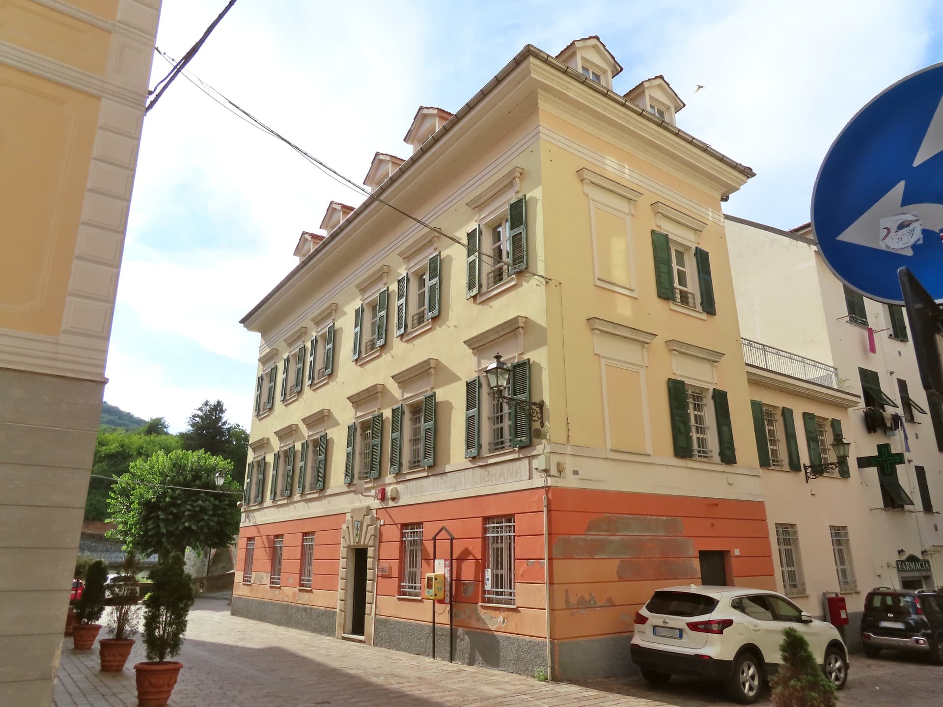
Campo Ligure
Province: Genova · 342 m
A Spinola borgo at 342 meters in the Stura valley north of Genova, the last working centre for gold and silver filigree in Italy.
- ✷ We've been
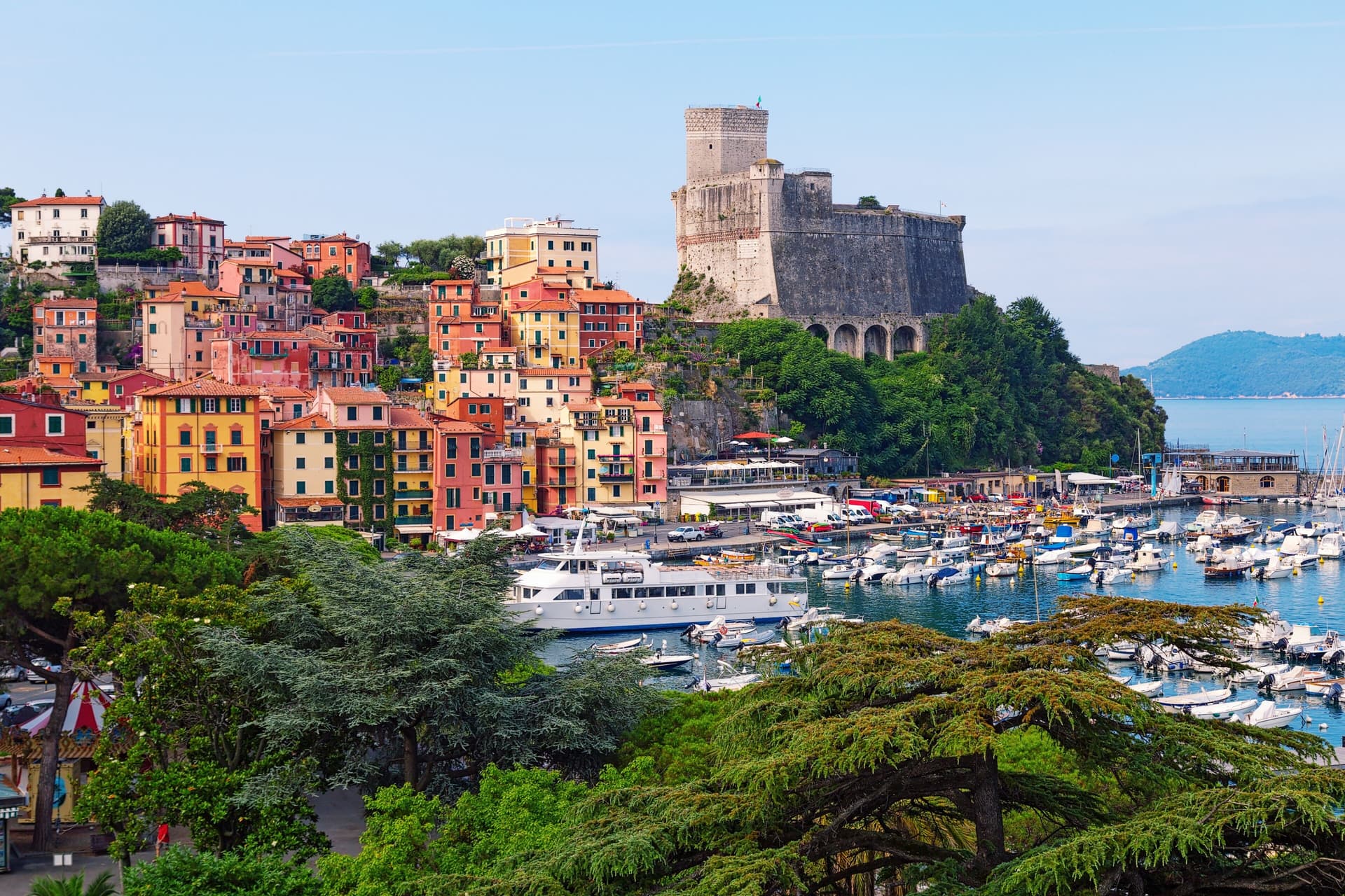
Lerici
Province: La Spezia · 10 m
The northern anchor of the Bay of Poets, a fishing harbour under a Pisan-Genoese castle where Byron and Shelley wrote and where the frazione of Tellaro hangs over the rocks at the bay's southern edge.
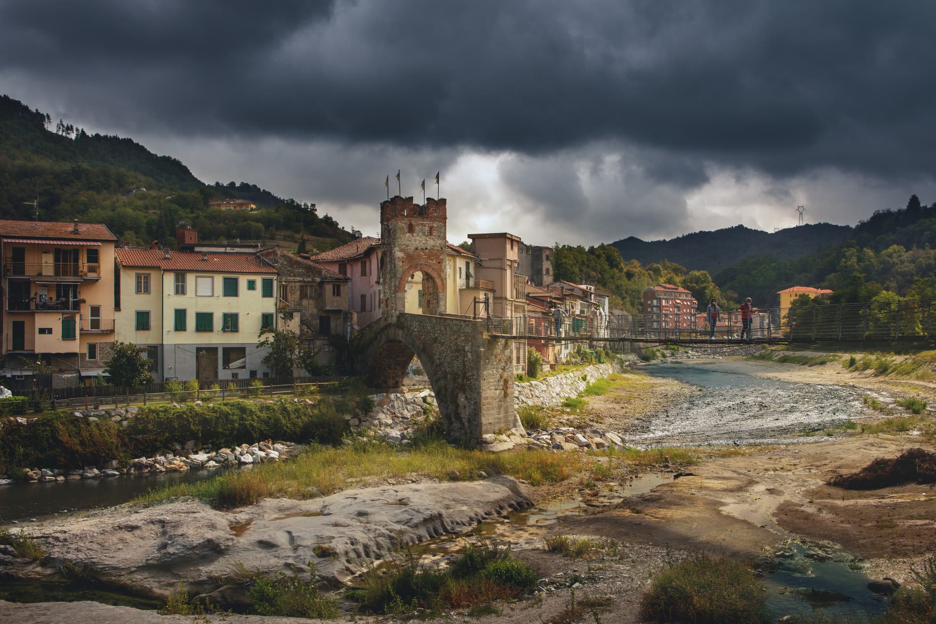
Millesimo
Province: Savona · 429 m
A fortified Del Carretto borgo at 429 meters in the upper Val Bormida, where Napoleon broke the Austro-Sardinian army in April 1796.
- ✷ We've been
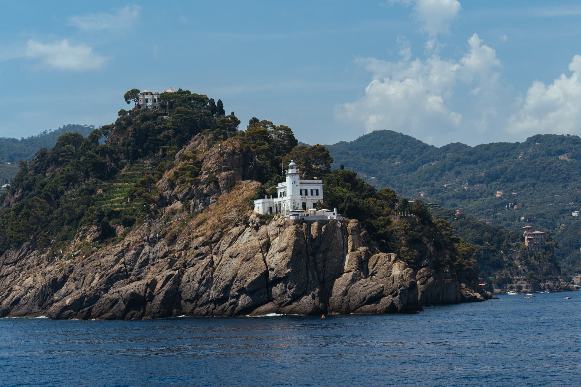
Portofino
Province: Genova · 3 m
Three hundred and fifty-five residents, the smallest municipal territory in the metropolitan area, and the harbor every superyacht in the Mediterranean wants to anchor in.
- ✷ We've been
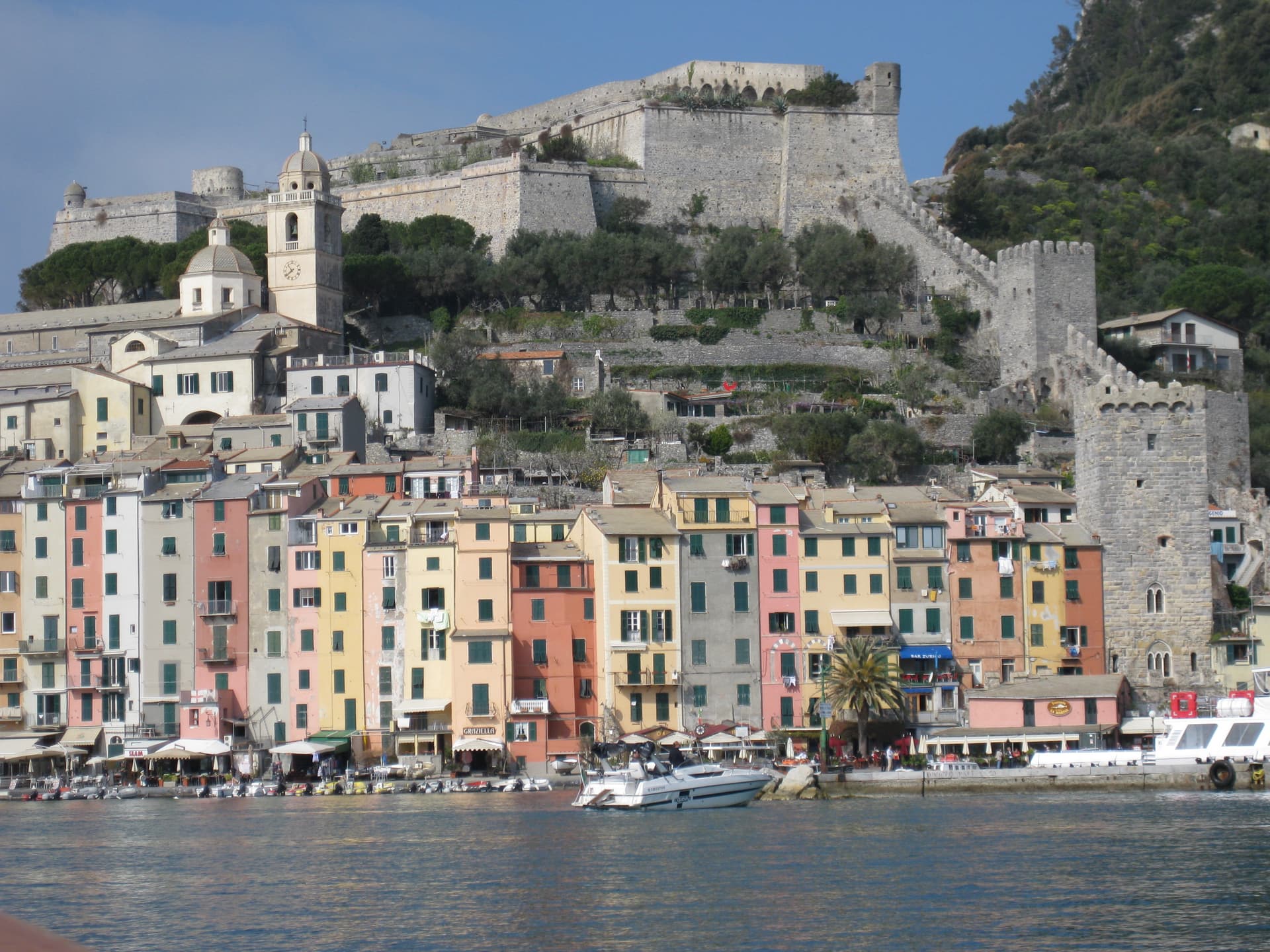
Portovenere
Province: La Spezia · 37 m
A Genoese fortress at the western mouth of the Gulf of Poets, the black-and-white church of San Pietro on the Venus-temple rock.
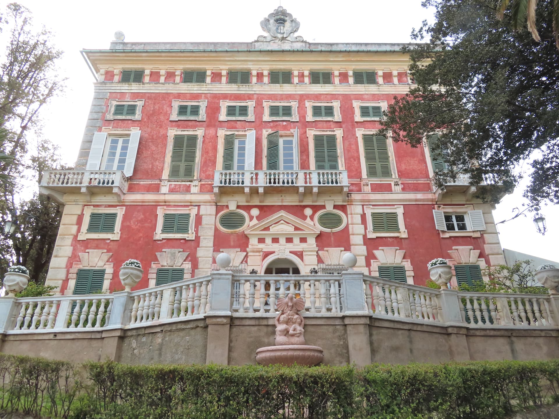
Santa Margherita Ligure
Province: Genova · 13 m
The Tigullio town that kept its fishing port while the world drove past on the way to Portofino two kilometers further.
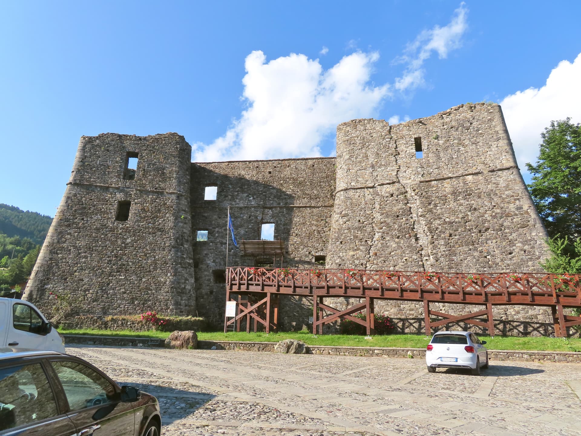
Santo Stefano d'Aveto
Province: Genova · 1,012 m
Liguria's highest commune at 1,012 meters in the Ligurian-Emilian Apennines, with a Malaspina-Doria castle and the only ski resort in the region.
- ✷ We've been
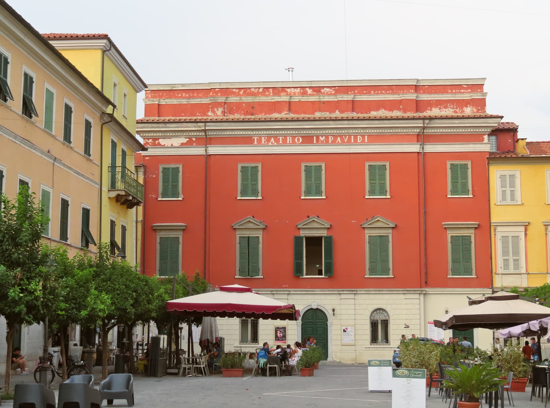
Sarzana
Province: La Spezia · 21 m
The unofficial capital of the Lunigiana on the Magra plain, birthplace of Pope Niccolò V and home to Italy's oldest dated painted crucifix.
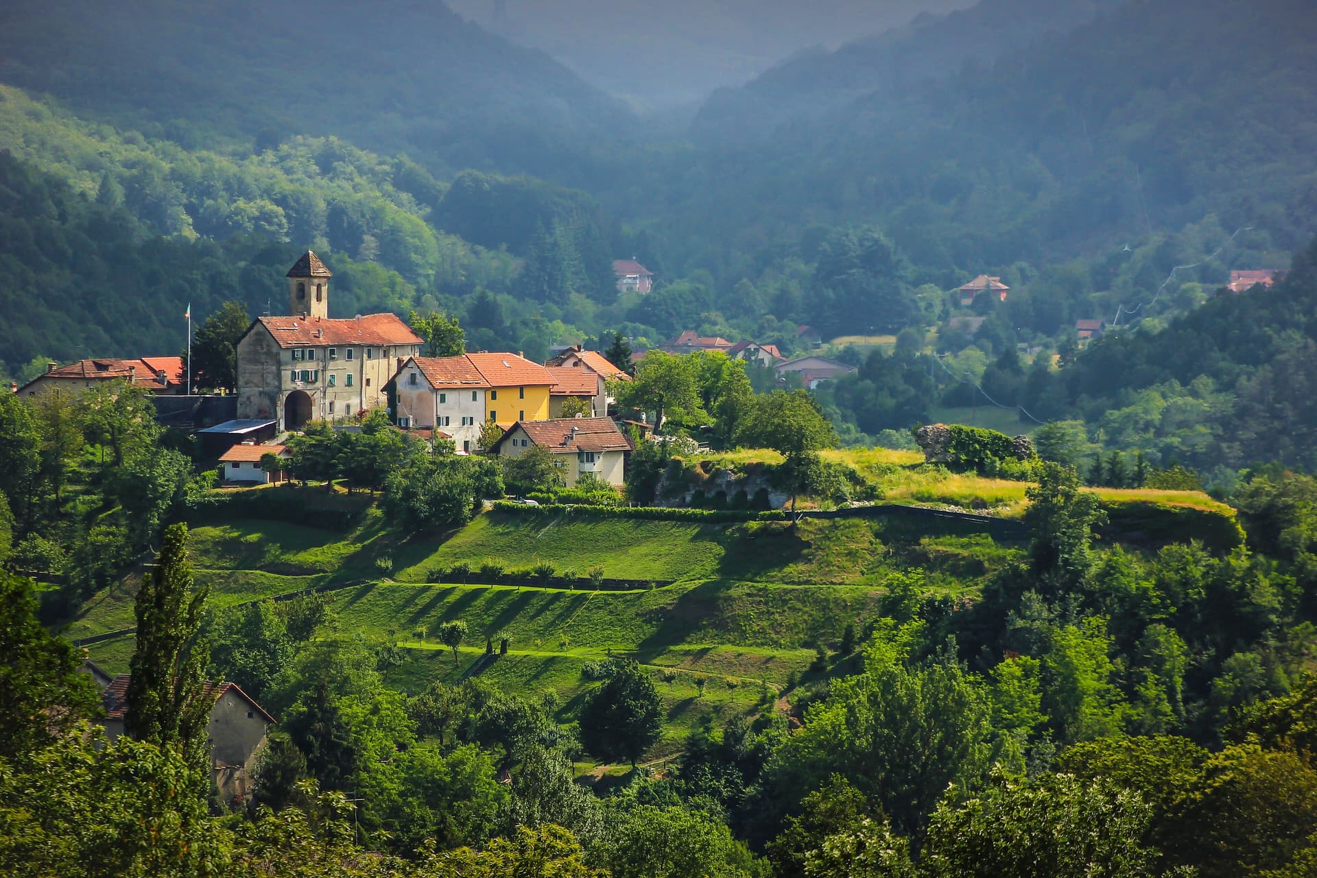
Sassello
Province: Savona · 381 m
A baroque borgo at 381 meters in the Parco del Beigua, where Geltrude Rossi invented the soft amaretto in 1860.
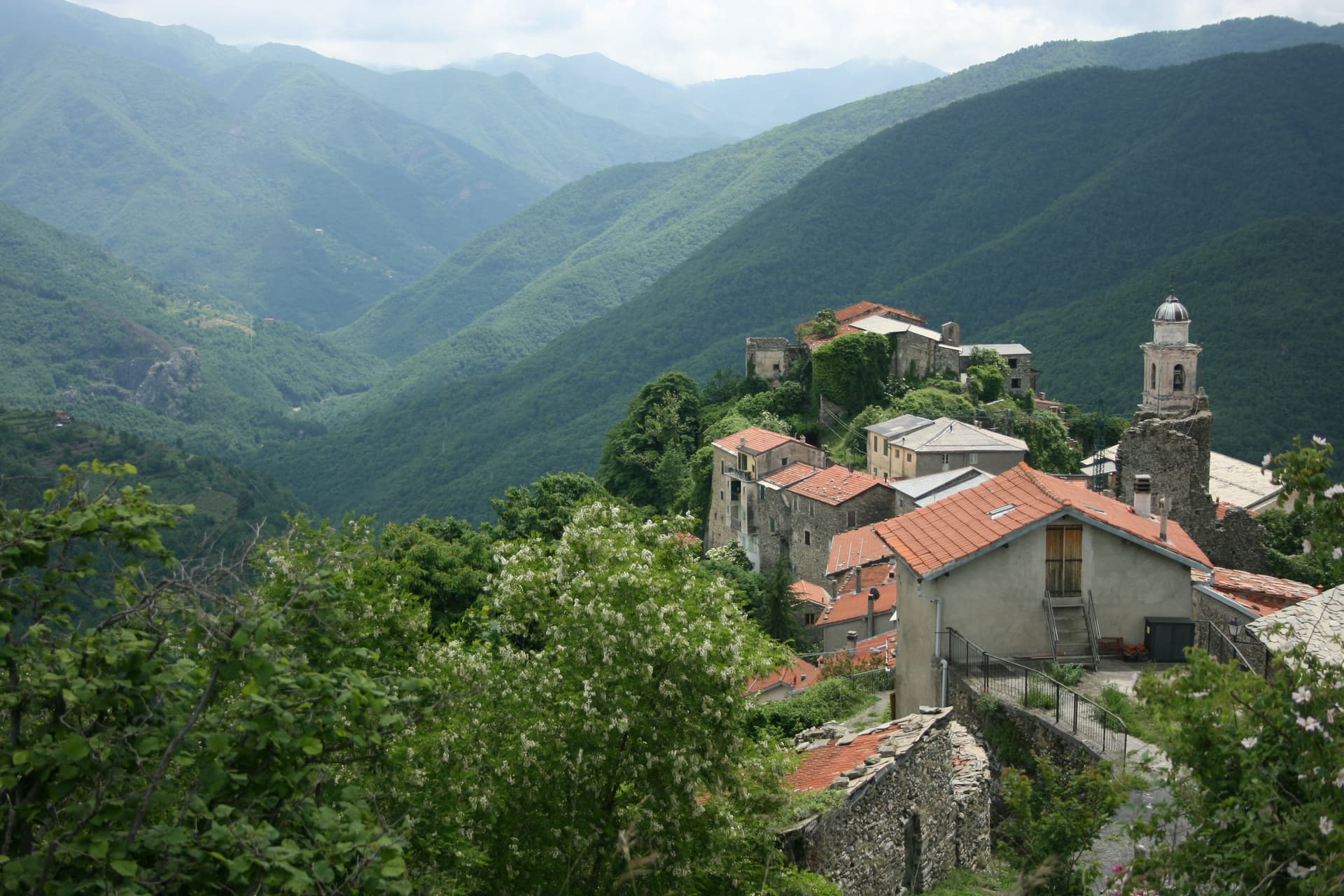
Triora
Province: Imperia · 776 m
The witches' village at 776 meters in the upper Valle Argentina, where the Inquisition put around 200 women on trial between 1587 and 1589.
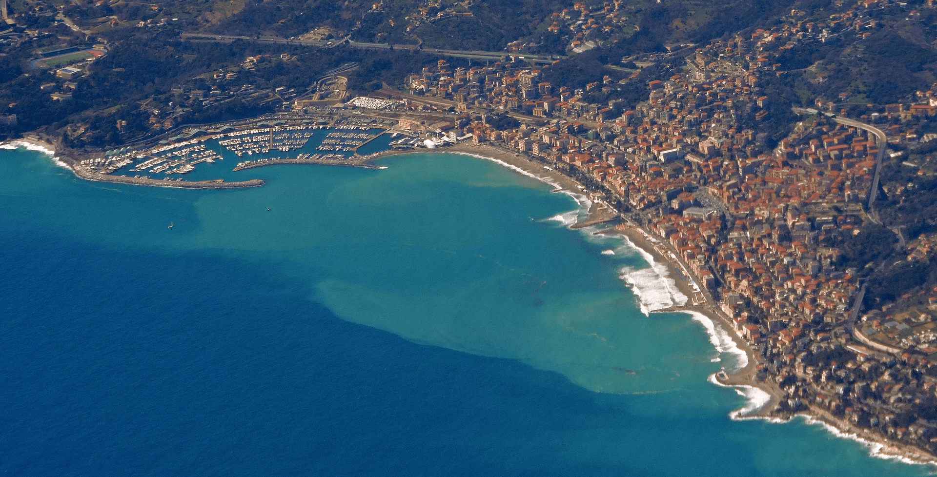
Varazze
Province: Savona · 10 m
A Ligurian shipbuilding town whose thirteenth-century friar compiled the saint lives that became the most copied book in Europe after the Bible.
Lombardy20
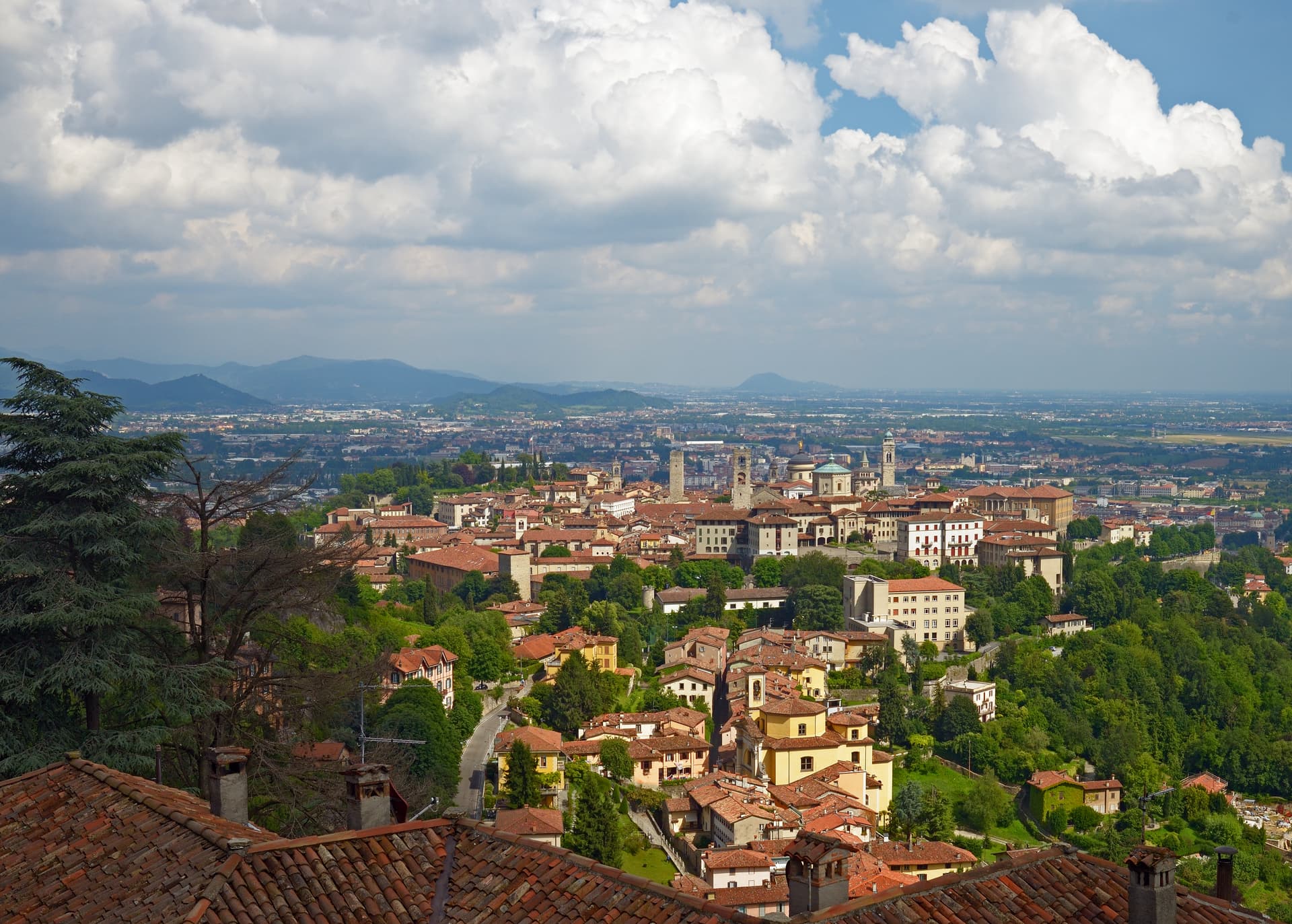
Bergamo
Province: Bergamo · 249 m
A two-city Lombard capital where a Venetian walled hilltown sits 85 meters above its modern twin on the plain, 45 kilometers northeast of Milan.
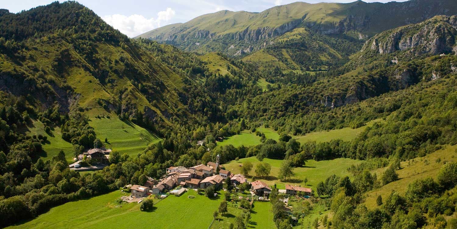
Castione della Presolana
Province: Bergamo · 870 m
A high-valley commune at 870 meters under the Pizzo della Presolana, the limestone peak the Bergamasque call the Queen of the Orobie.
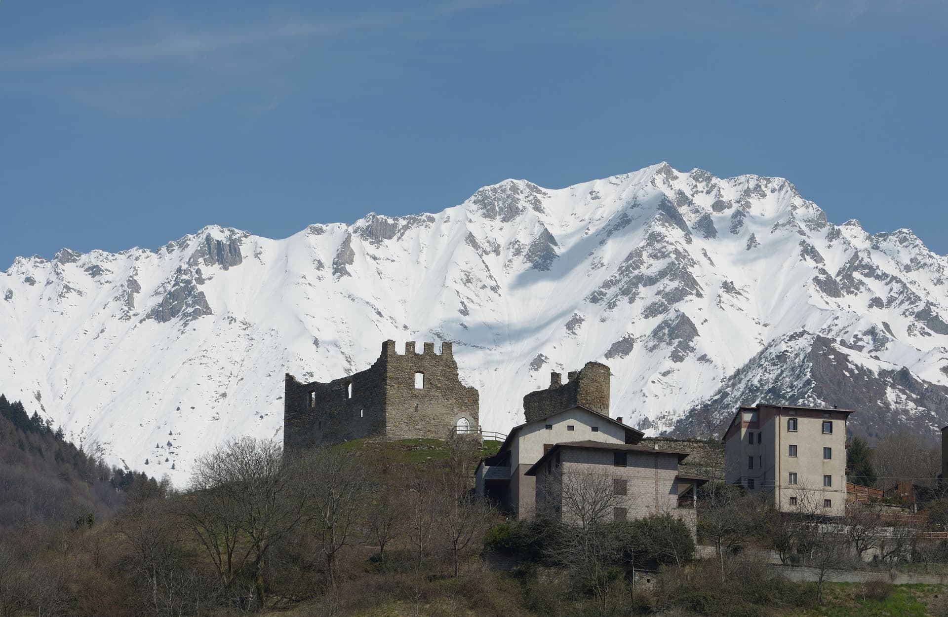
Cimbergo
Province: Brescia · 851 m
A village of 533 at 851 meters above the Oglio, with castle ruins on a spur and UNESCO petroglyphs on the slopes below.
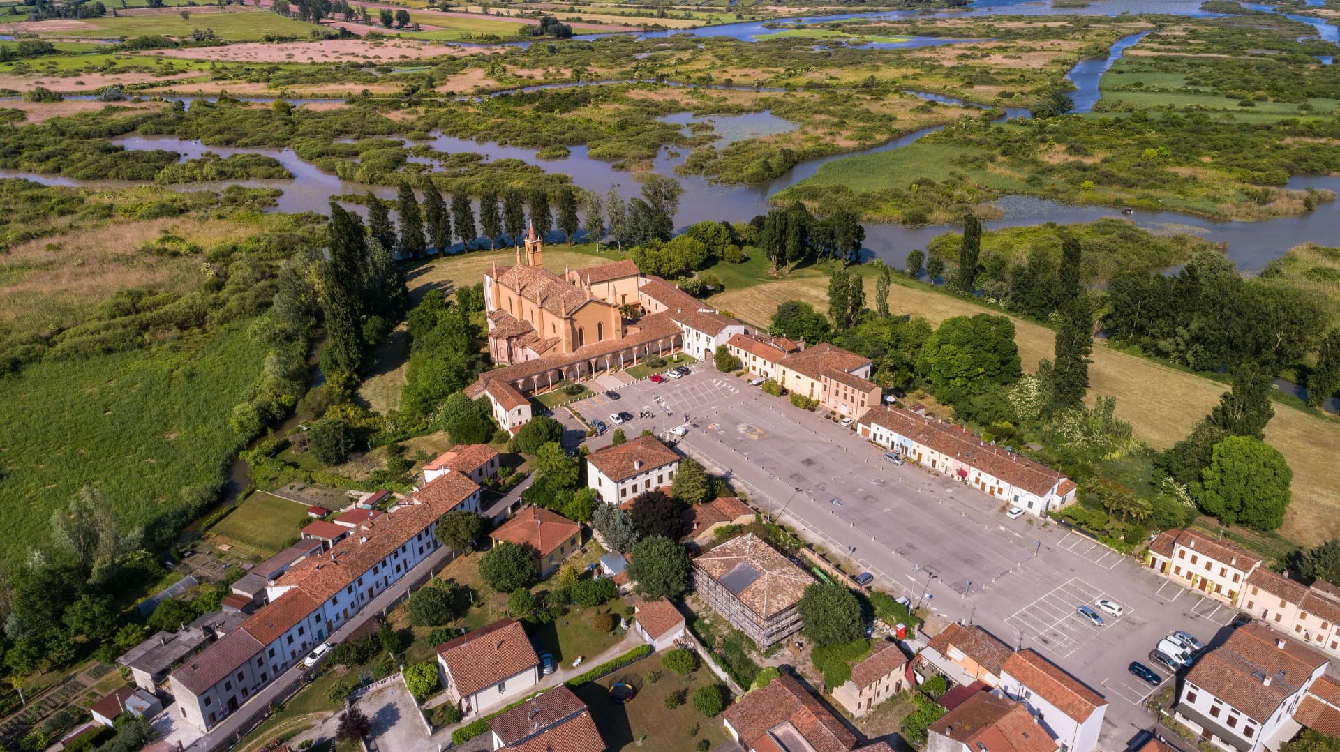
Curtatone
Province: Mantova · 25 m
A commune of eight frazioni west of Mantova, anchored by the Grazie sanctuary and the 1848 battle that delayed Radetzky's advance.
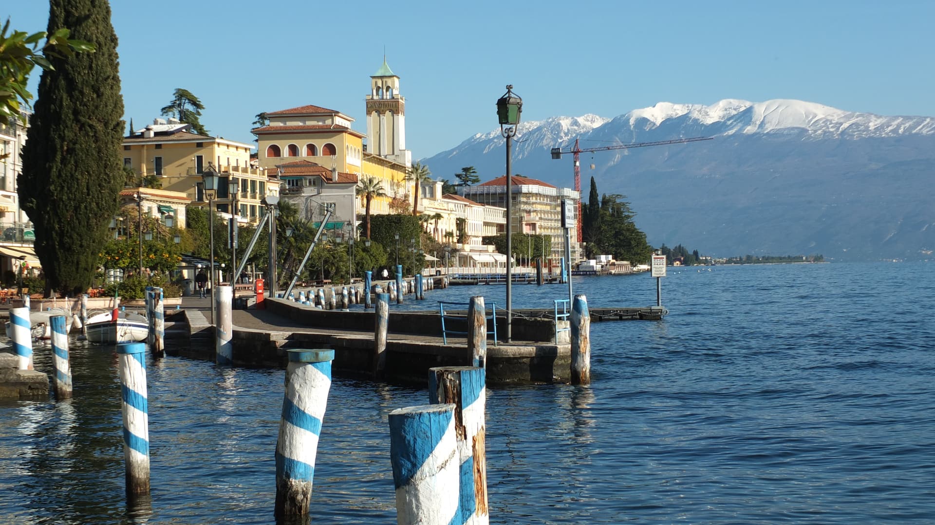
Gardone Riviera
Province: Brescia · 71 m
A western Garda lakeshore town whose hillside holds the Vittoriale, the estate Gabriele D'Annunzio turned into a monument to himself.
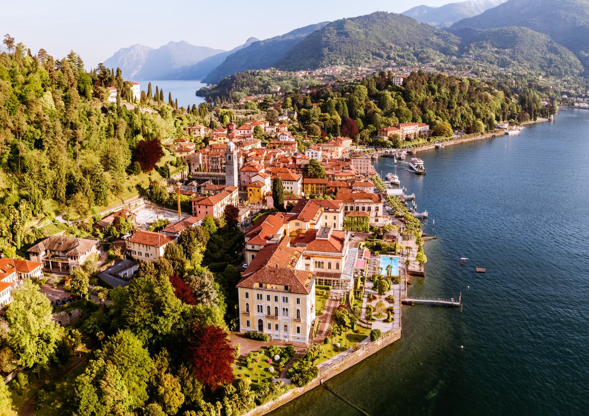
Gorgonzola
Province: Milano · 132 m
The town that gave its name to the cheese — a 21,000-resident commune on the Naviglio della Martesana 24 km east of Milan, the documented birthplace of Gorgonzola DOP since AD 879 and now the eastern terminus of Milan's M2 metro line, with a Greenways cycling-route signal along the canal.
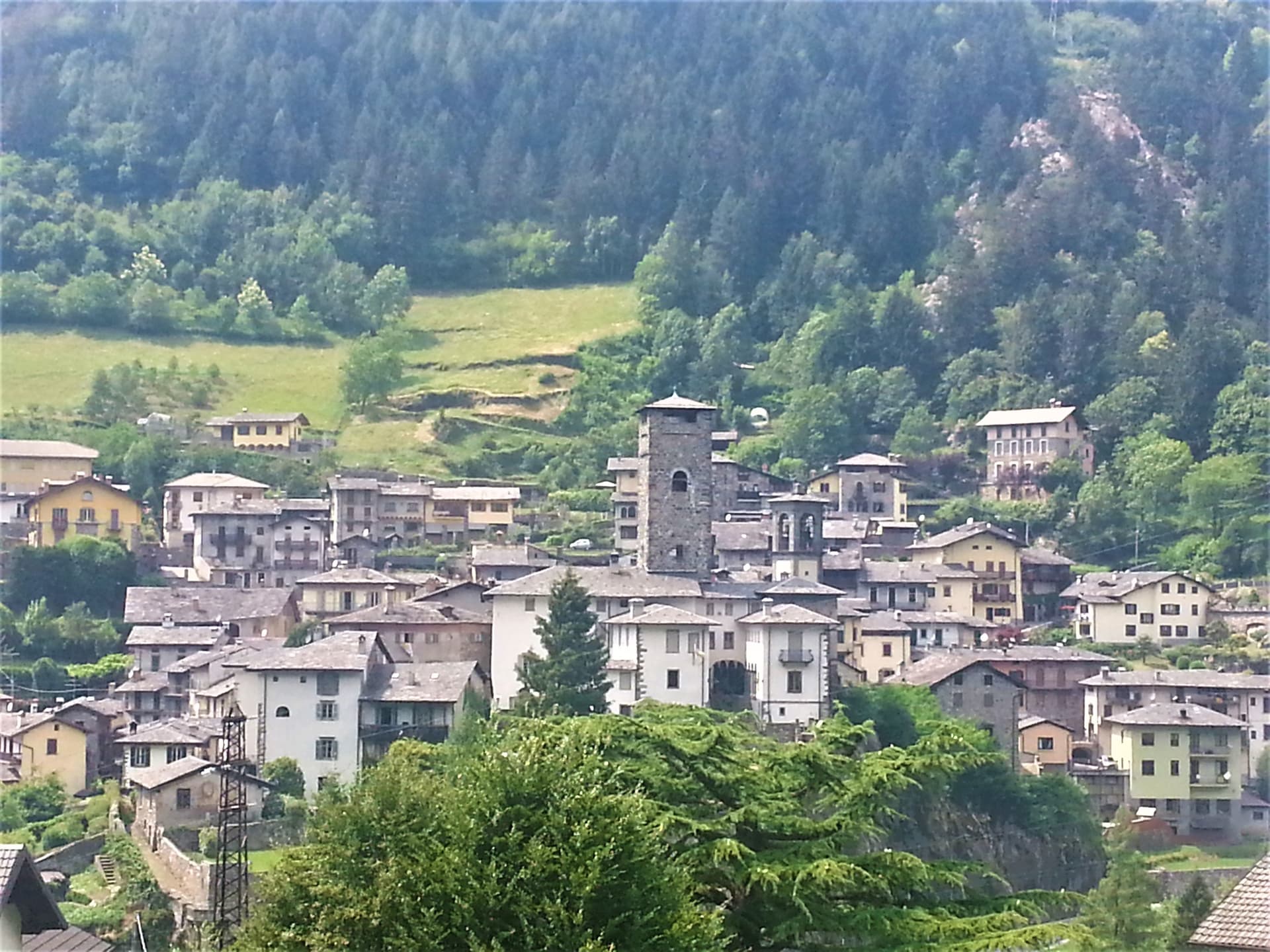
Gromo
Province: Bergamo · 676 m
A medieval iron-forging town at 676 meters on a rock spur above the Serio, once called the little Toledo for its sword smiths.
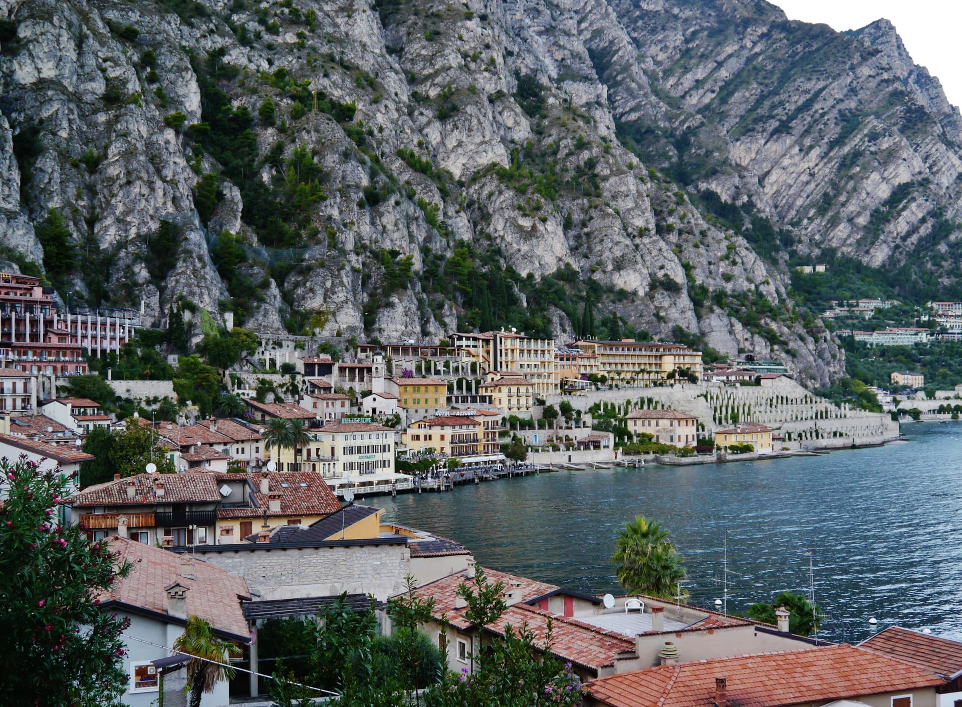
Limone sul Garda
Province: Brescia · 65 m
The northernmost lemon-growing town in the world, at 46 degrees north on the western shore of Lake Garda, reached by road only in 1932.
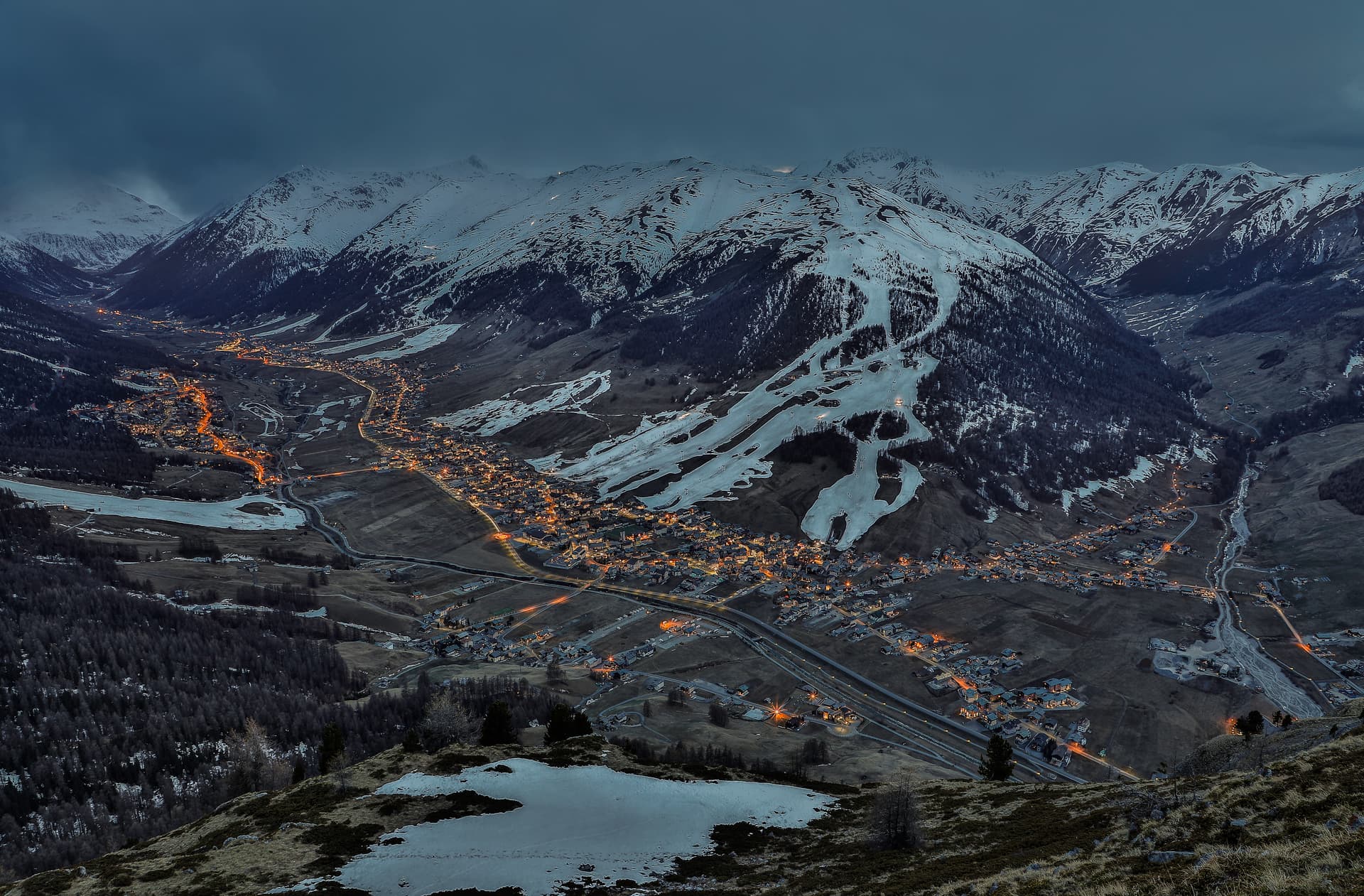
Livigno
Province: Sondrio · 1,816 m
At 1,816 meters in the Italian Alps near the Swiss border, a duty-free ski valley that drains north into the Black Sea, not the Mediterranean.
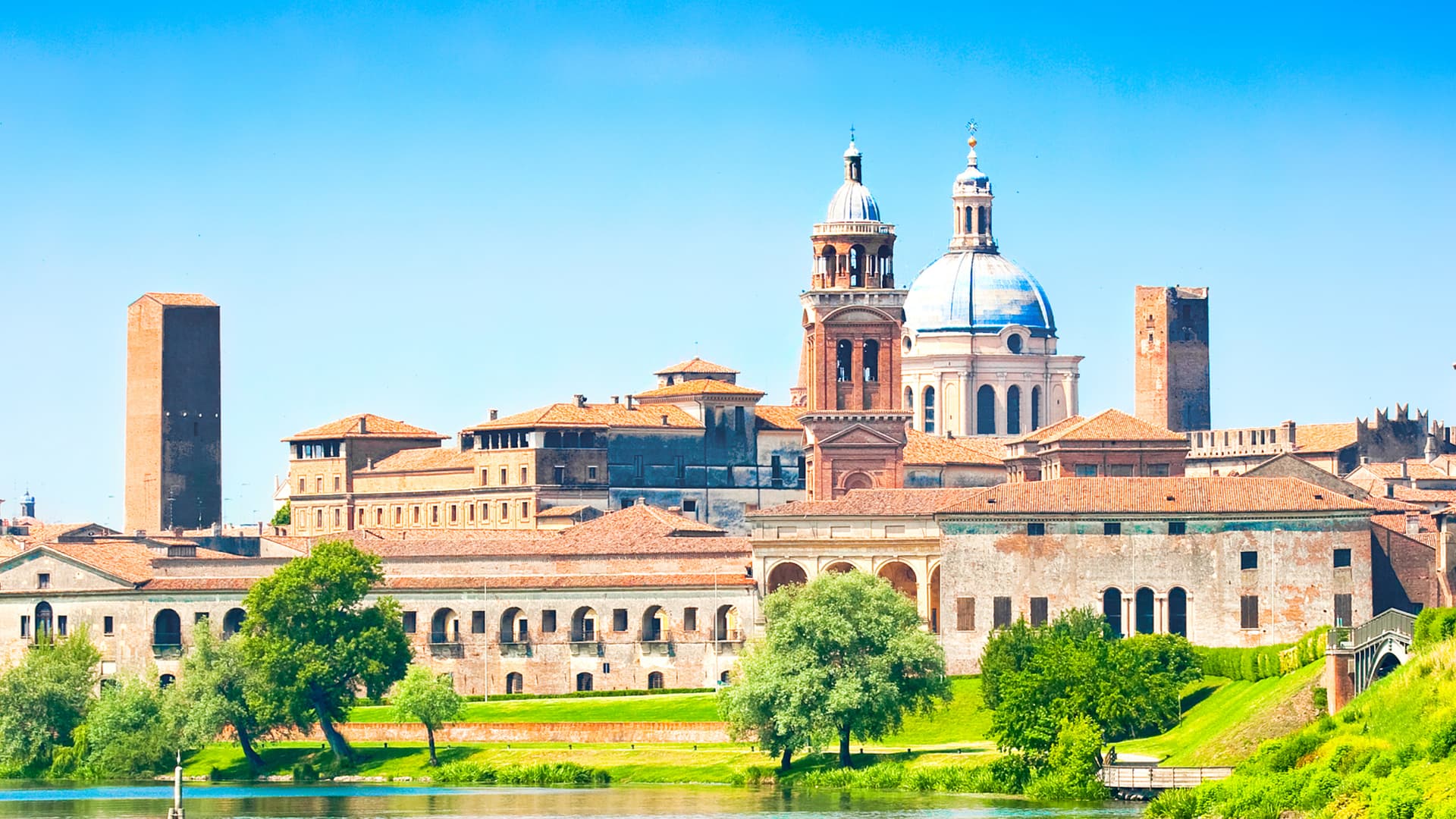
Mantova
Province: Mantova · 19 m
A Gonzaga capital at 19 meters, encircled on three sides by lakes the Mincio formed in the twelfth century, UNESCO-listed together with Sabbioneta since 2008.
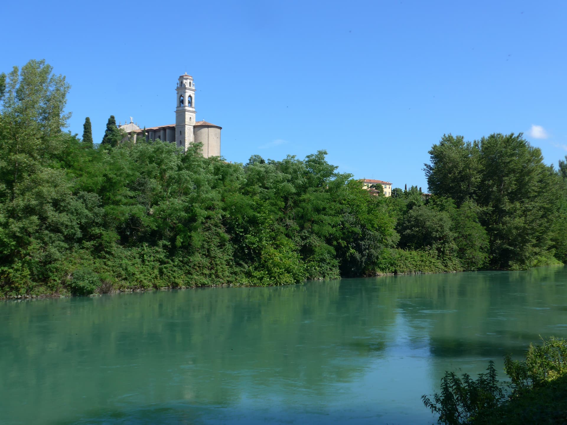
Monzambano
Province: Mantova · 88 m
A Mincio commune at 88 meters in the moraine hills west of Mantova, whose frazione Castellaro Lagusello sits on a heart-shaped lake inside fortified walls.
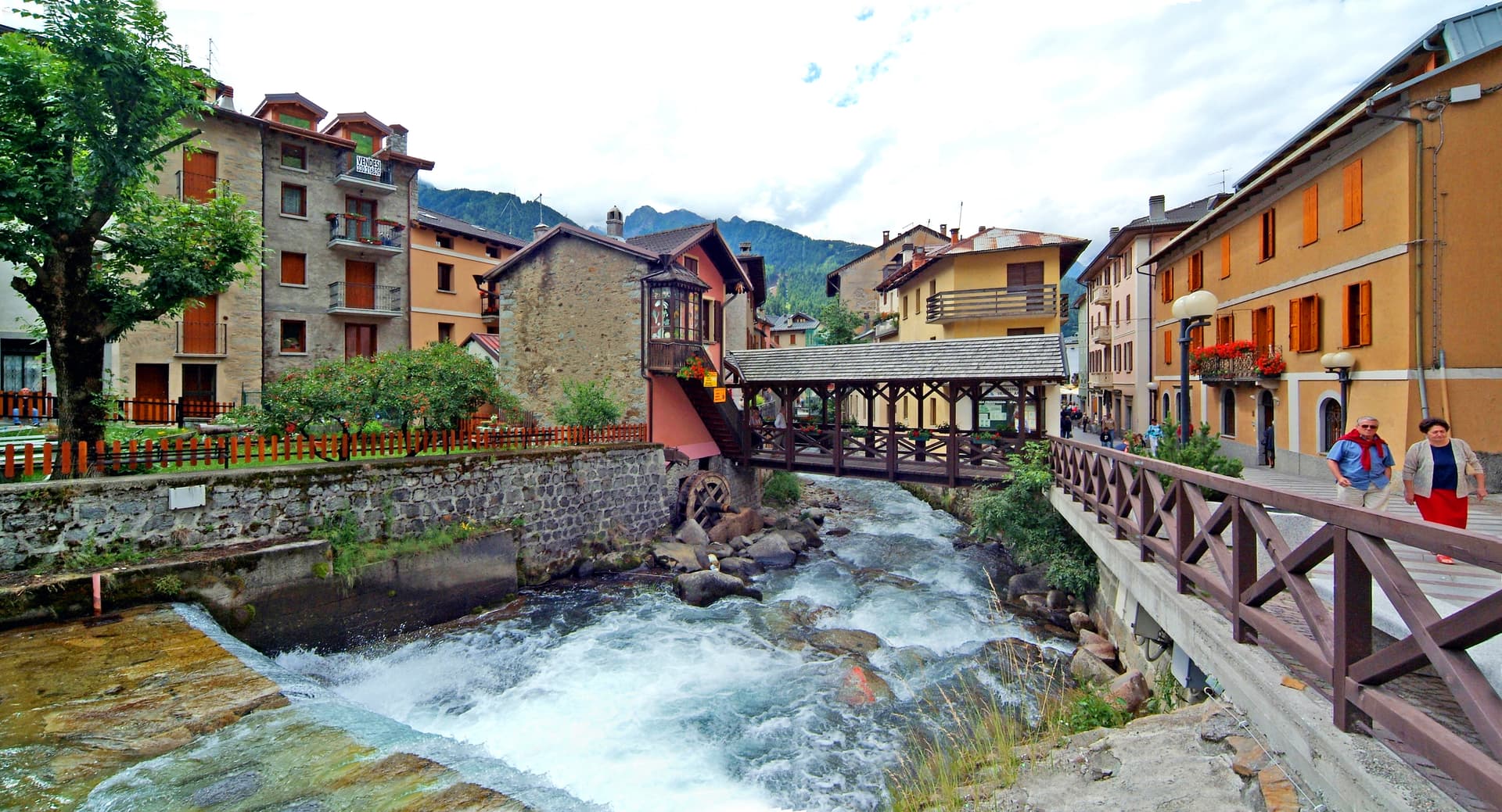
Ponte di Legno
Province: Brescia · 1,257 m
The uppermost commune of Valle Camonica at 1,257 meters, where the two source streams of the Oglio meet under the Adamello range.
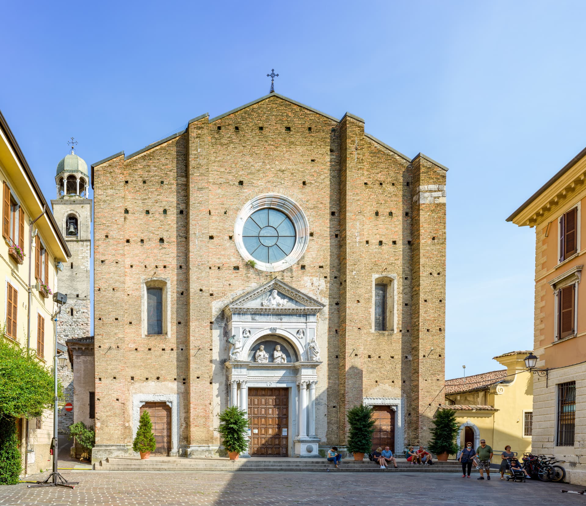
Salò
Province: Brescia · 65 m
On the deepest gulf of Lake Garda, with the lake's longest waterfront promenade and the cathedral of the Riviera di Salò.
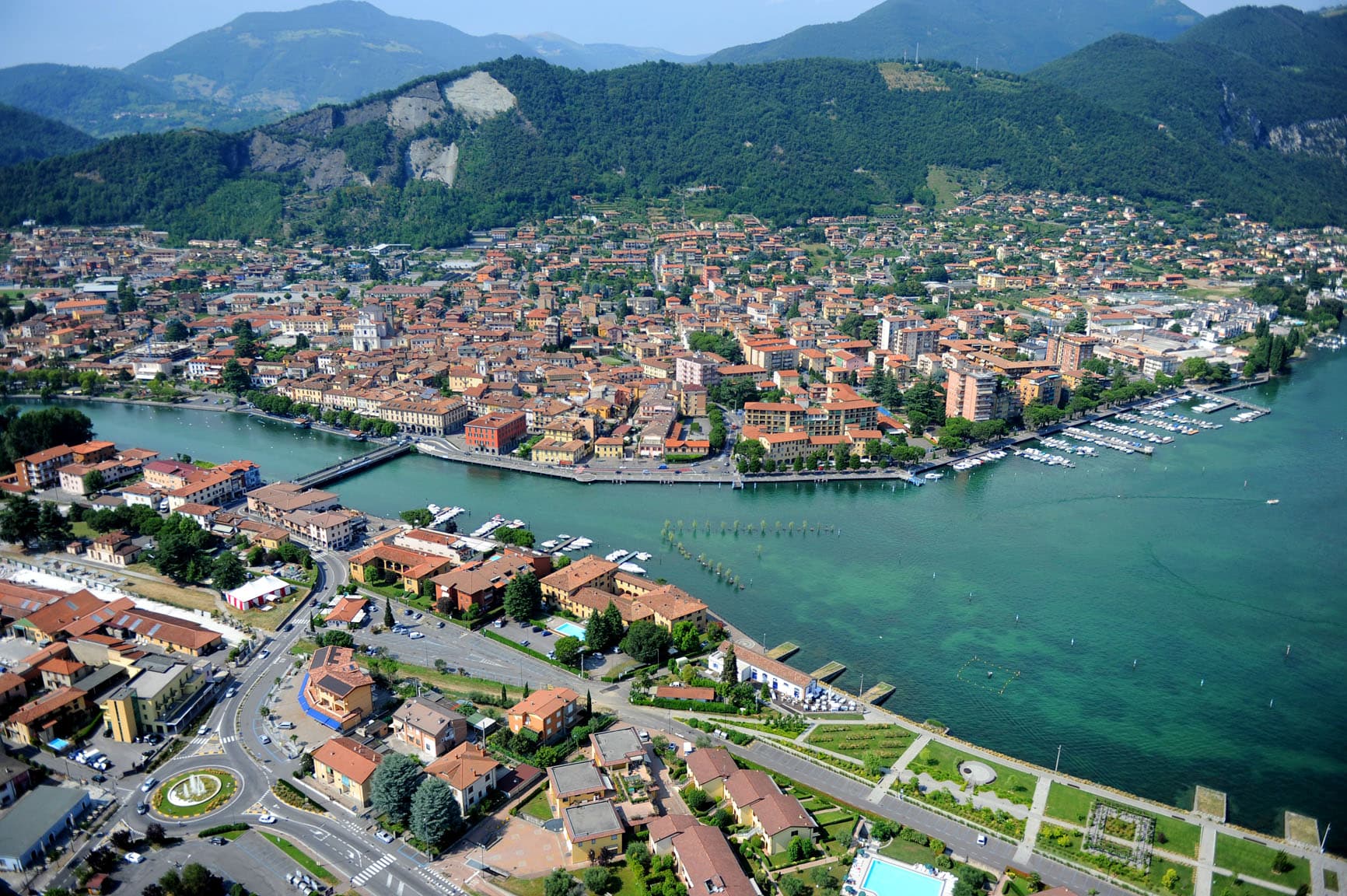
Sarnico
Province: Bergamo · 197 m
A medieval lake town at the southern tip of Lago d'Iseo, where the Oglio leaves the lake and Liberty villas line the shore.
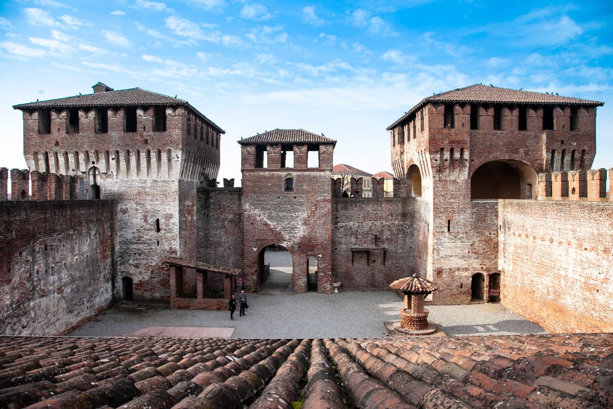
Soncino
Province: Cremona · 88 m
A walled borgo on the Oglio with the Sforza fortress of 1473 and the press that printed the first complete Hebrew Bible in 1488.
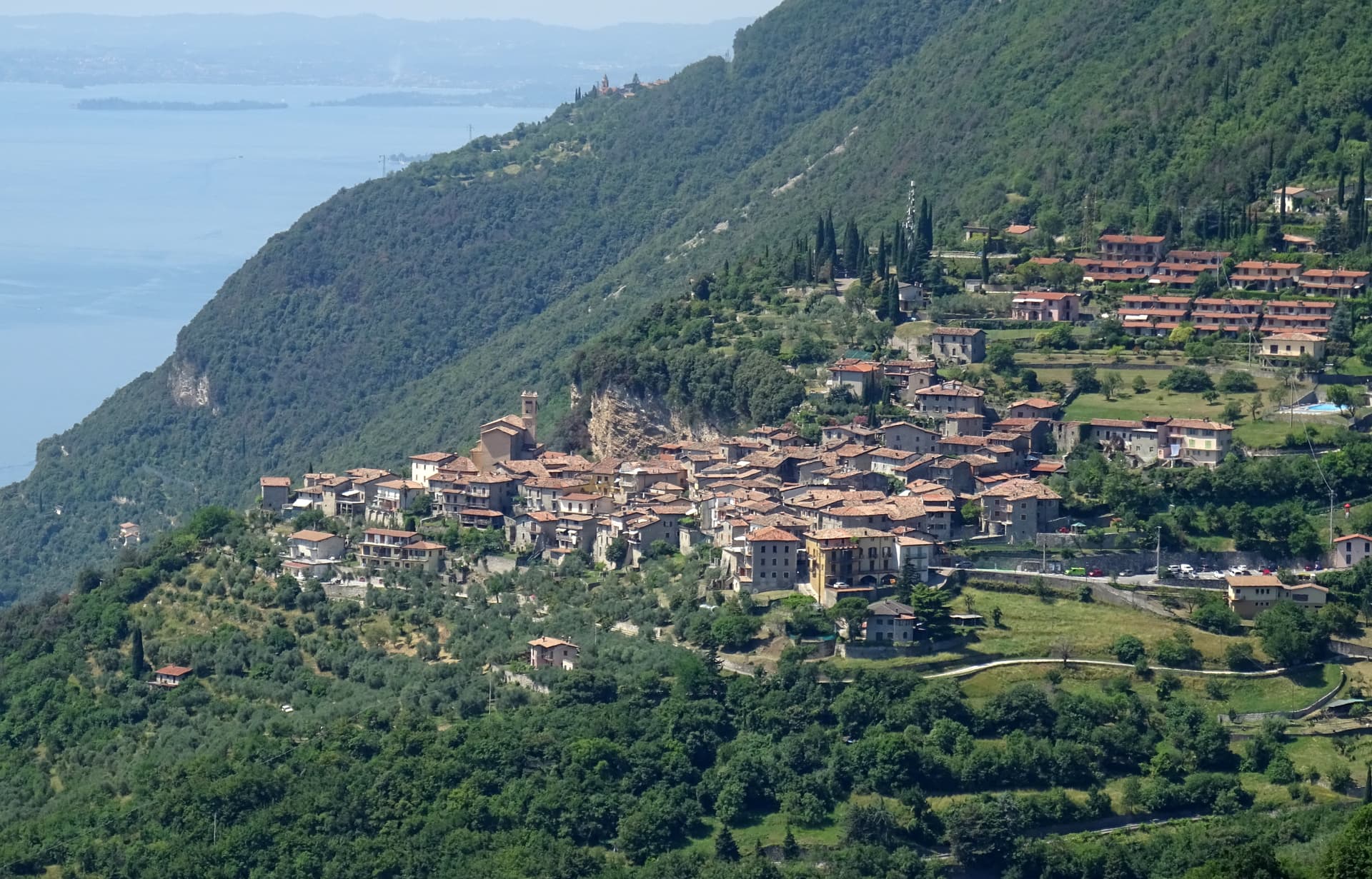
Tignale
Province: Brescia · 560 m
A six-hamlet commune on a high terrace above Lake Garda's western shore, anchored by a clifftop sanctuary and the last working limonaie north of Salò.
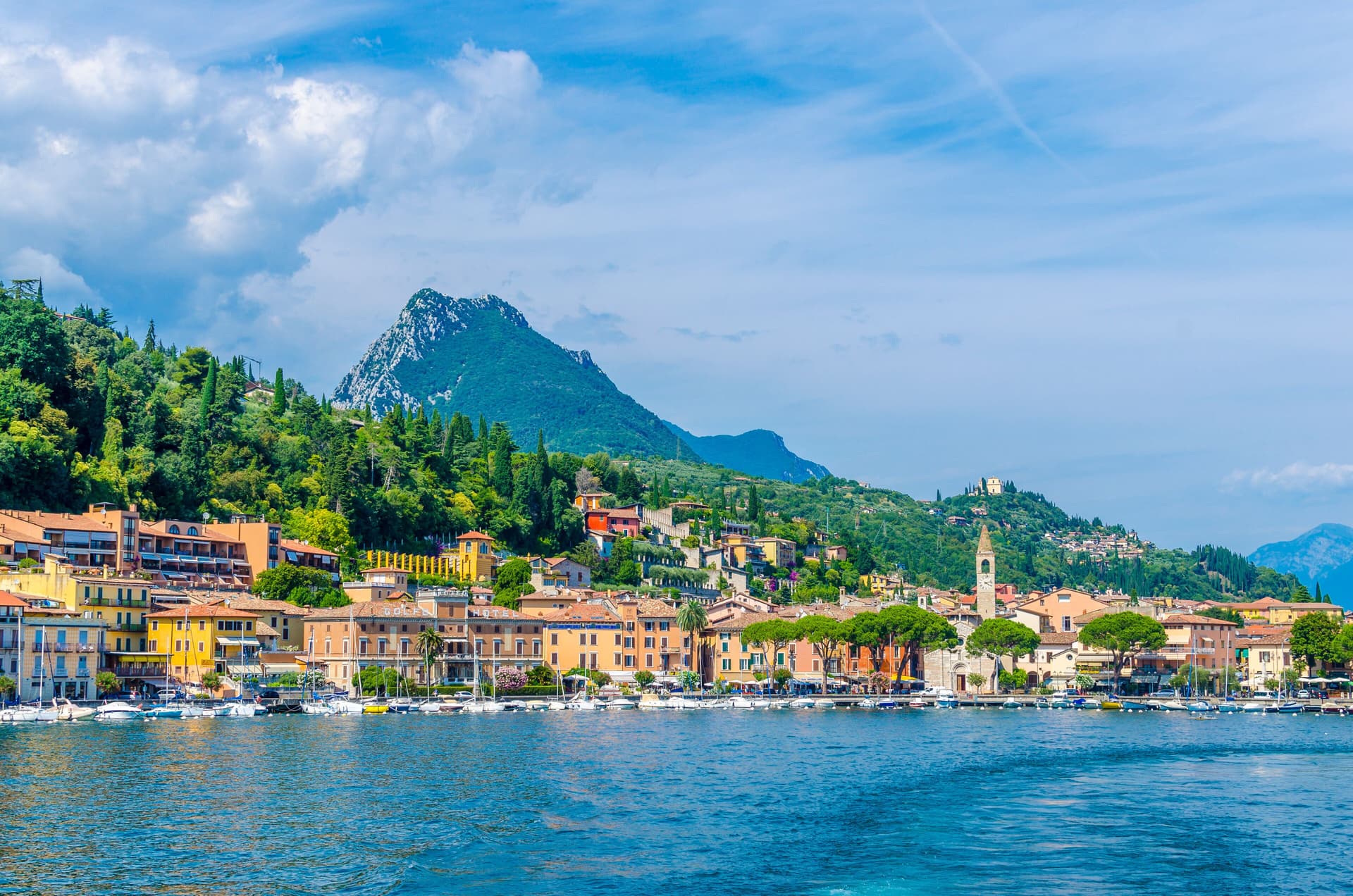
Toscolano-Maderno
Province: Brescia · 72 m
Twin lakeside villages on the western shore of Garda, paper mill suppliers to the Republic of Venice from the 14th century onward.
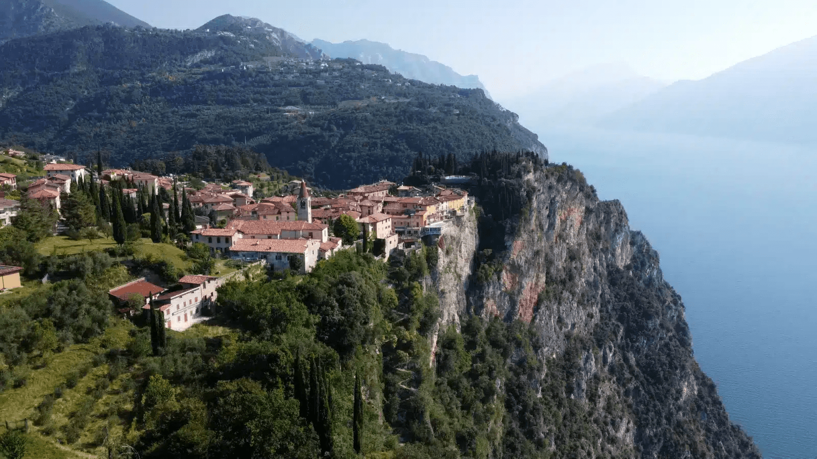
Tremosine sul Garda
Province: Brescia · 414 m
A cliff-top commune of 18 frazioni 350 meters above Lake Garda, reached by the Strada della Forra carved through the Brasa gorge.
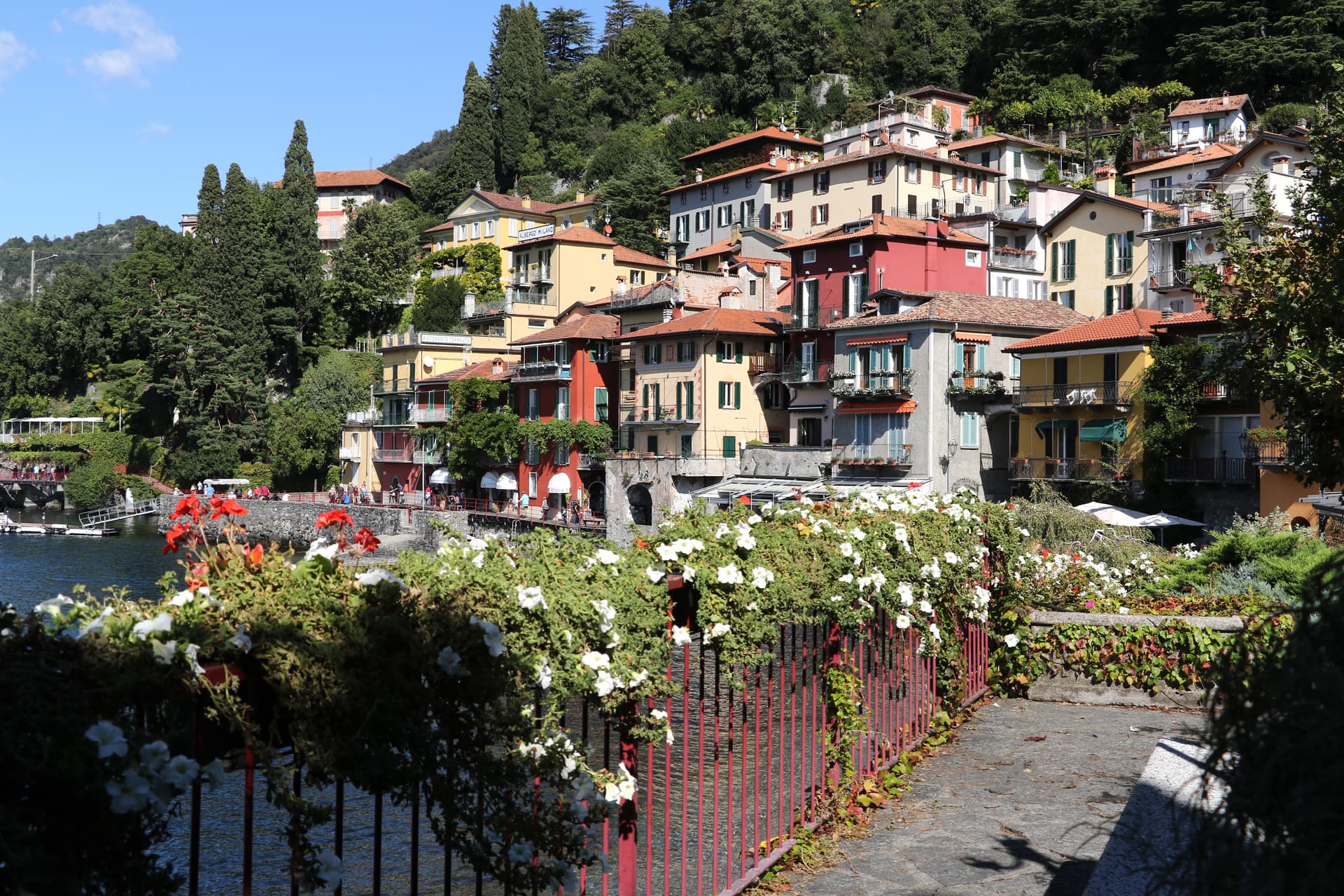
Varenna
Province: Lecco · 220 m
A fishing village founded in 769 on the Lecco arm of Lake Como, with a steep grid of streets falling into the water.
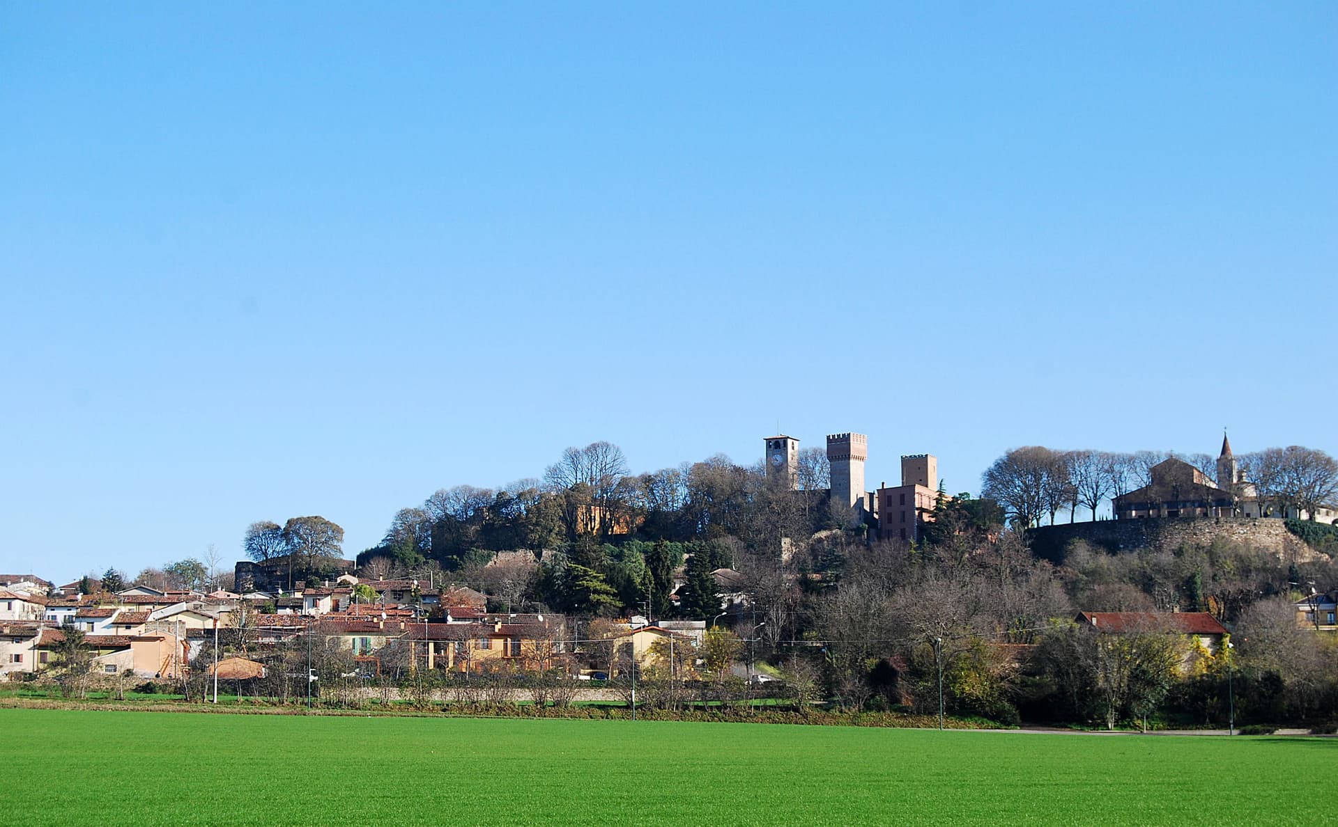
Volta Mantovana
Province: Mantova · 91 m
A morainic hill town between Mantua and Lake Garda where Ludovico Gonzaga built a country palace inside the old medieval castle.
Marche9
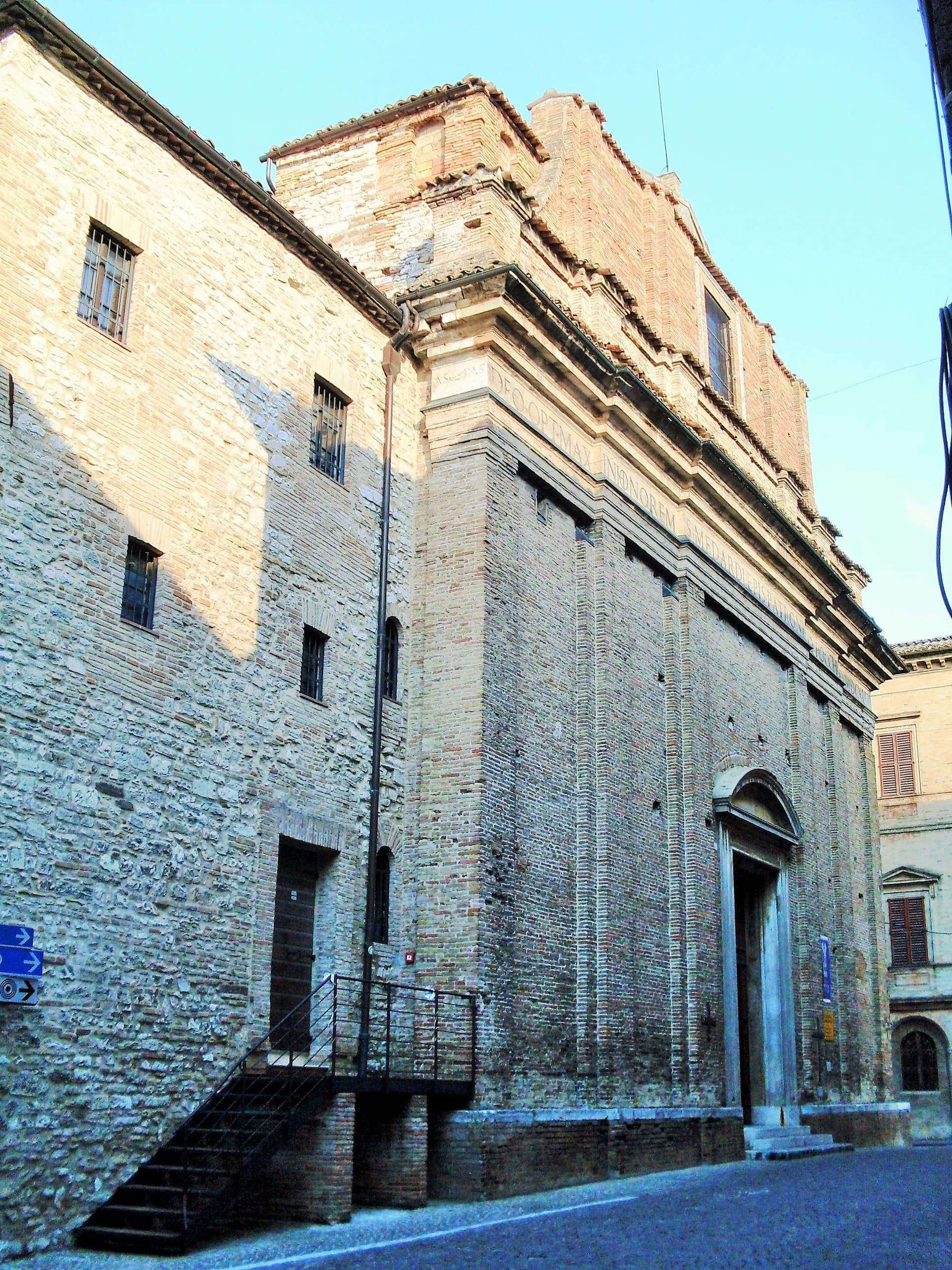
Arcevia
Province: Ancona · 535 m
A hilltop borgo at 535 meters above the Misa and Nevola valleys, defended in the Middle Ages by a ring of nine satellite castles.
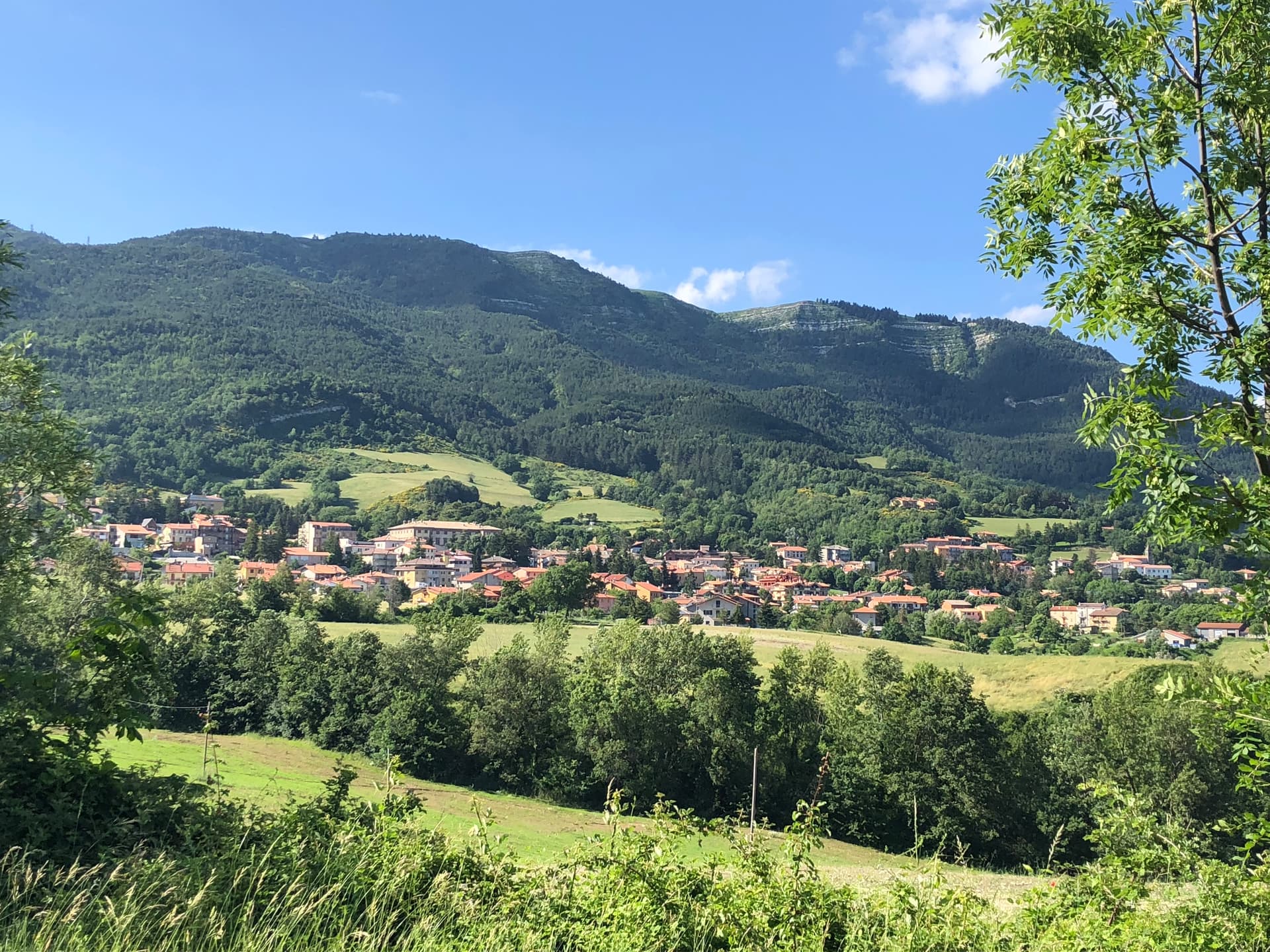
Carpegna
Province: Pesaro e Urbino · 748 m
A Montefeltro mountain town at 748 meters under Monte Carpegna, home of the DOP prosciutto and the Carpegna family seat built in 1675.
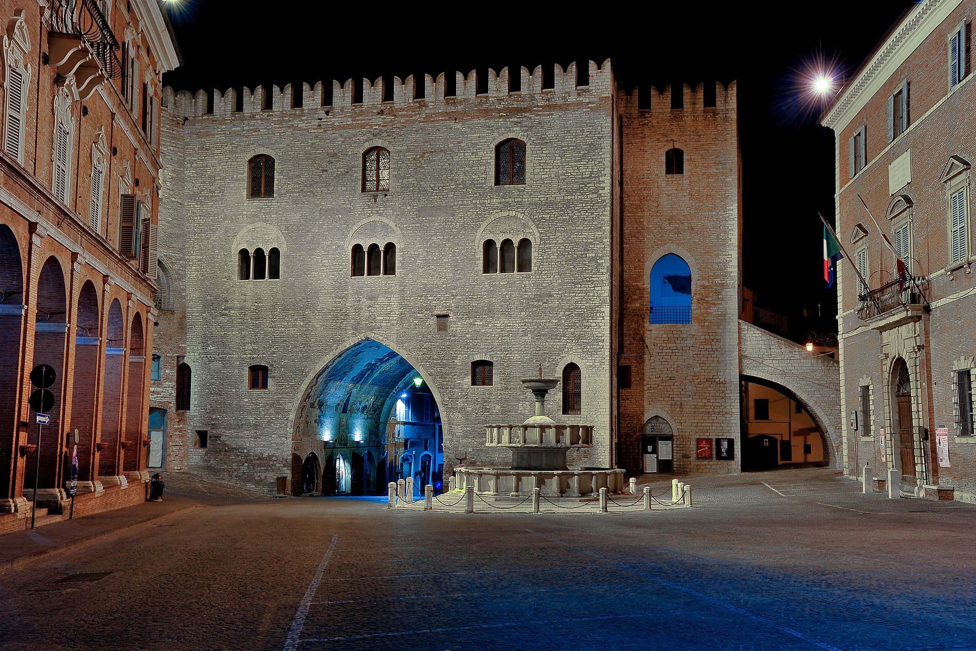
Fabriano
Province: Ancona · 325 m
The Italian paper town at 325 meters, making fine watermarked sheets since 1264 and a UNESCO Creative City of Crafts and Folk Art.
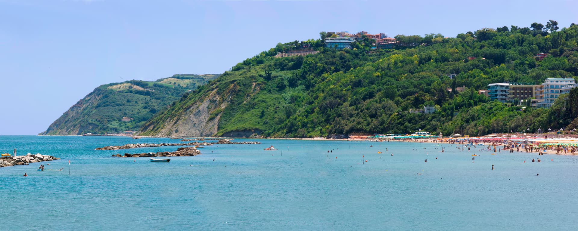
Gabicce Mare
Province: Pesaro e Urbino · 8 m
The northernmost Marche seaside on the Adriatic, where the Riviera Romagnola meets the cliffs of the Parco del San Bartolo at the Romagna border.
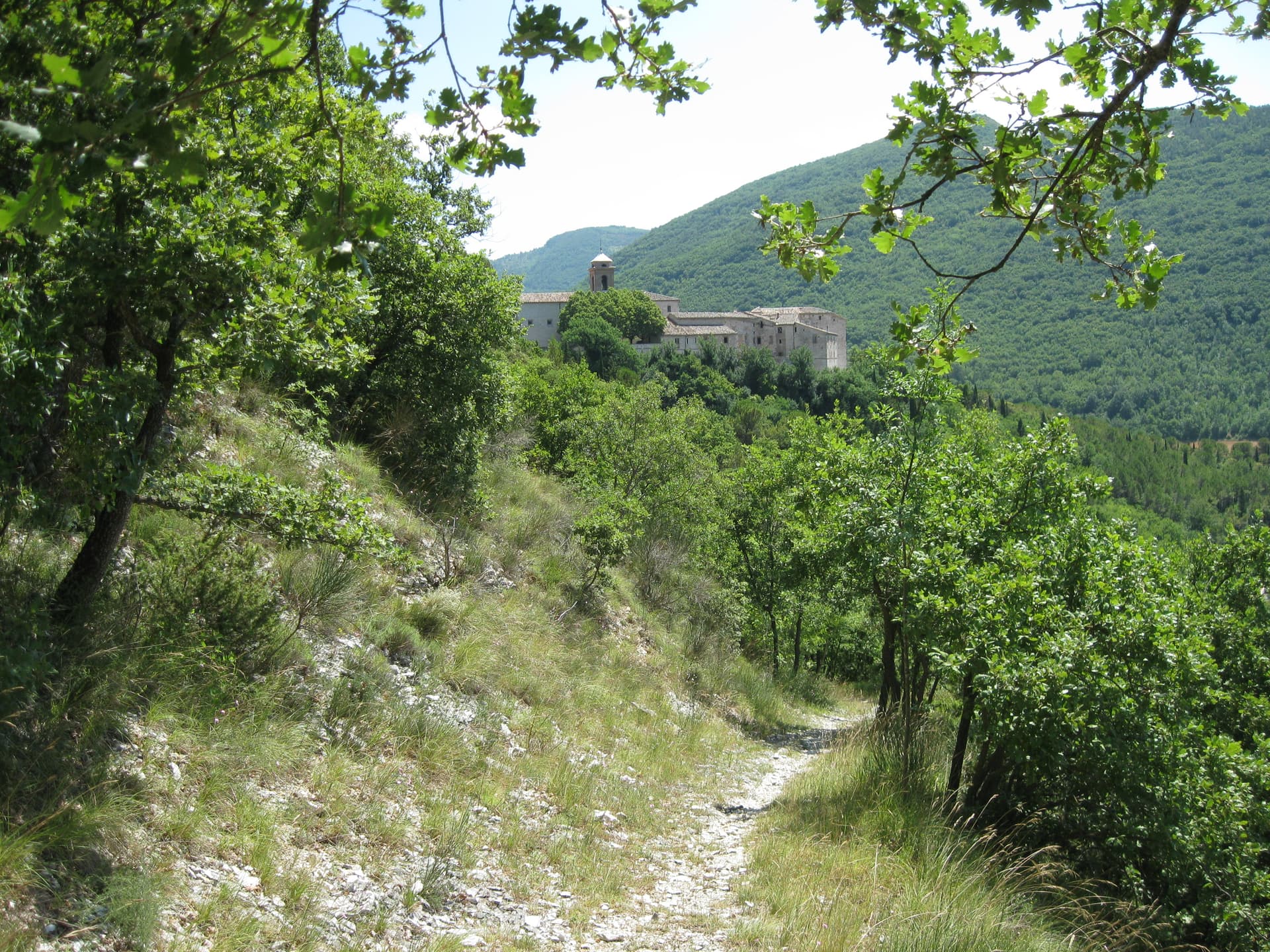
Genga
Province: Ancona · 322 m
A small Sentino-valley commune at 322 meters whose territory holds the Frasassi caves, the largest karst show cave in Italy.
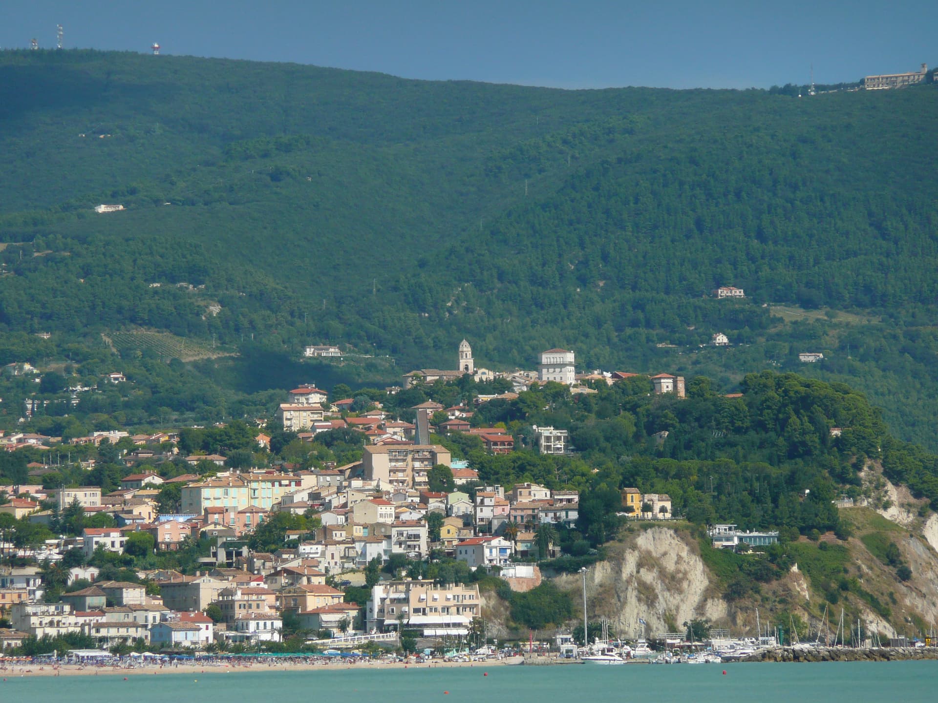
Numana
Province: Ancona · 56 m
A Conero coastal town at 56 meters above its port, the Picene harbour that traded with Greek ships from the sixth century BC.
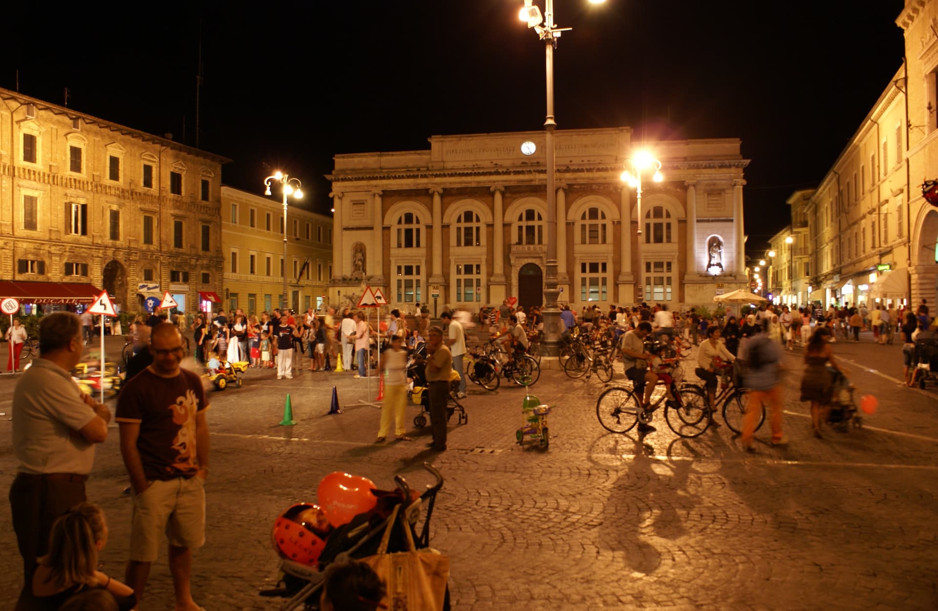
Pesaro
Province: Pesaro e Urbino · 11 m
The Adriatic port at the mouth of the Foglia, founded as Roman Pisaurum in 184 BC and given to the world by Rossini in 1792.
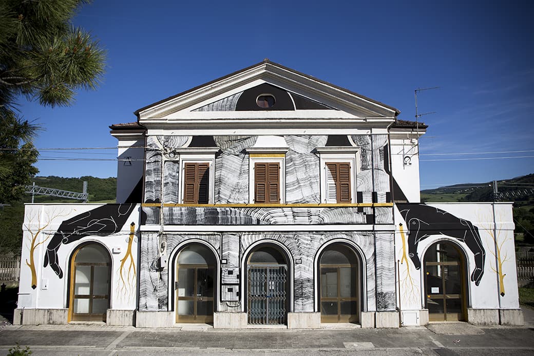
Serra San Quirico
Province: Ancona · 409 m
A stone borgo on Monte Murano at the entrance to the Gola della Rossa, ringed by 1300 walls with covered passageways called copertelle.
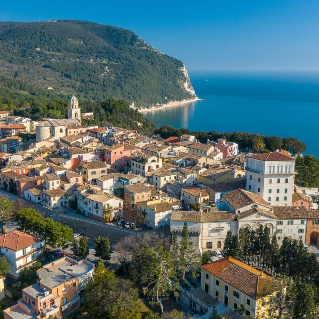
Sirolo
Province: Ancona · 125 m
A clifftop borgo at 125 meters on the southern flank of Monte Conero, above the Due Sorelle sea stacks of the Adriatic.
Piedmont10
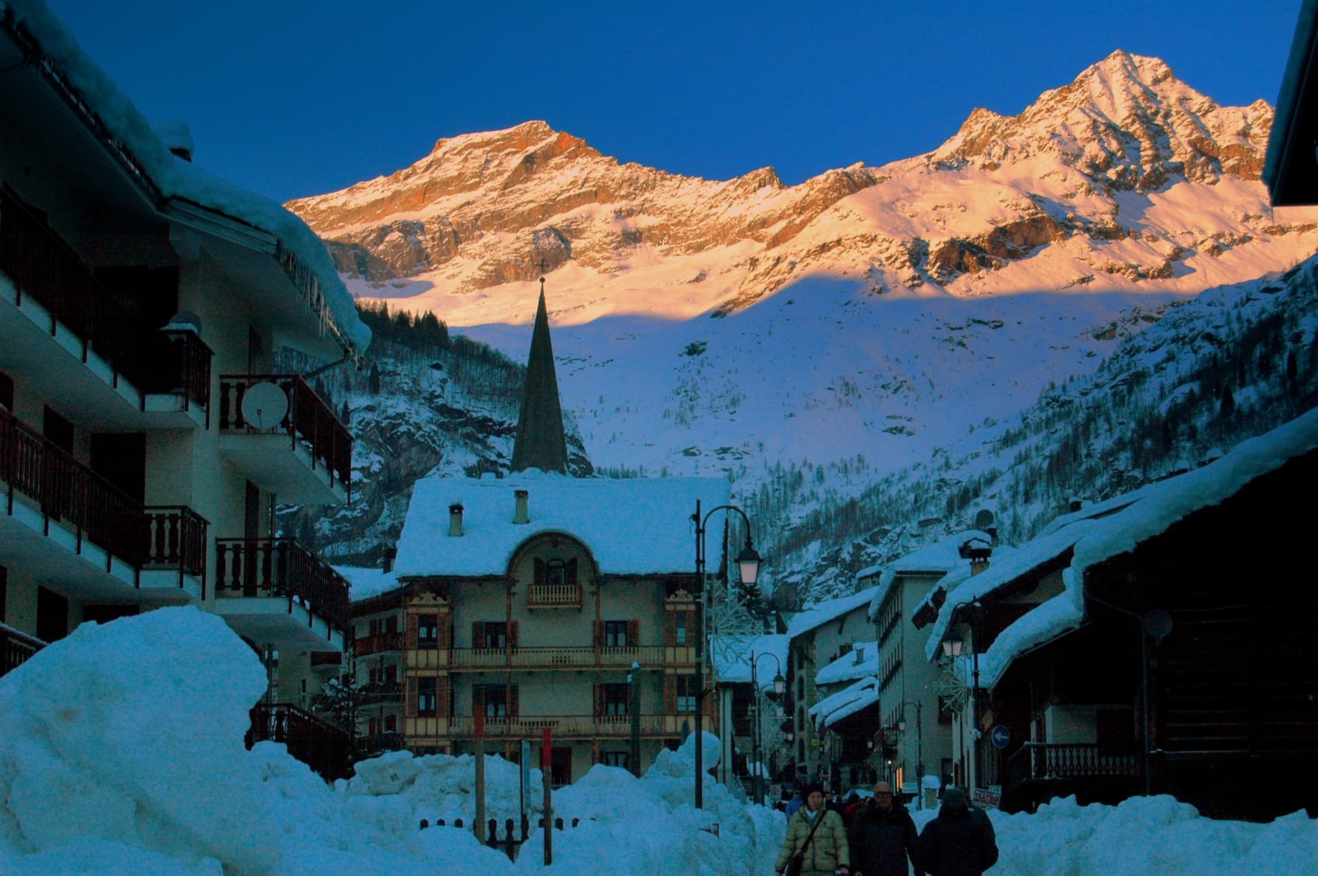
Alagna Valsesia
Province: Vercelli · 1,191 m
A Walser village at 1,191 meters under Monte Rosa, settled from the Swiss Valais in the 13th century and known to off-piste skiers worldwide.
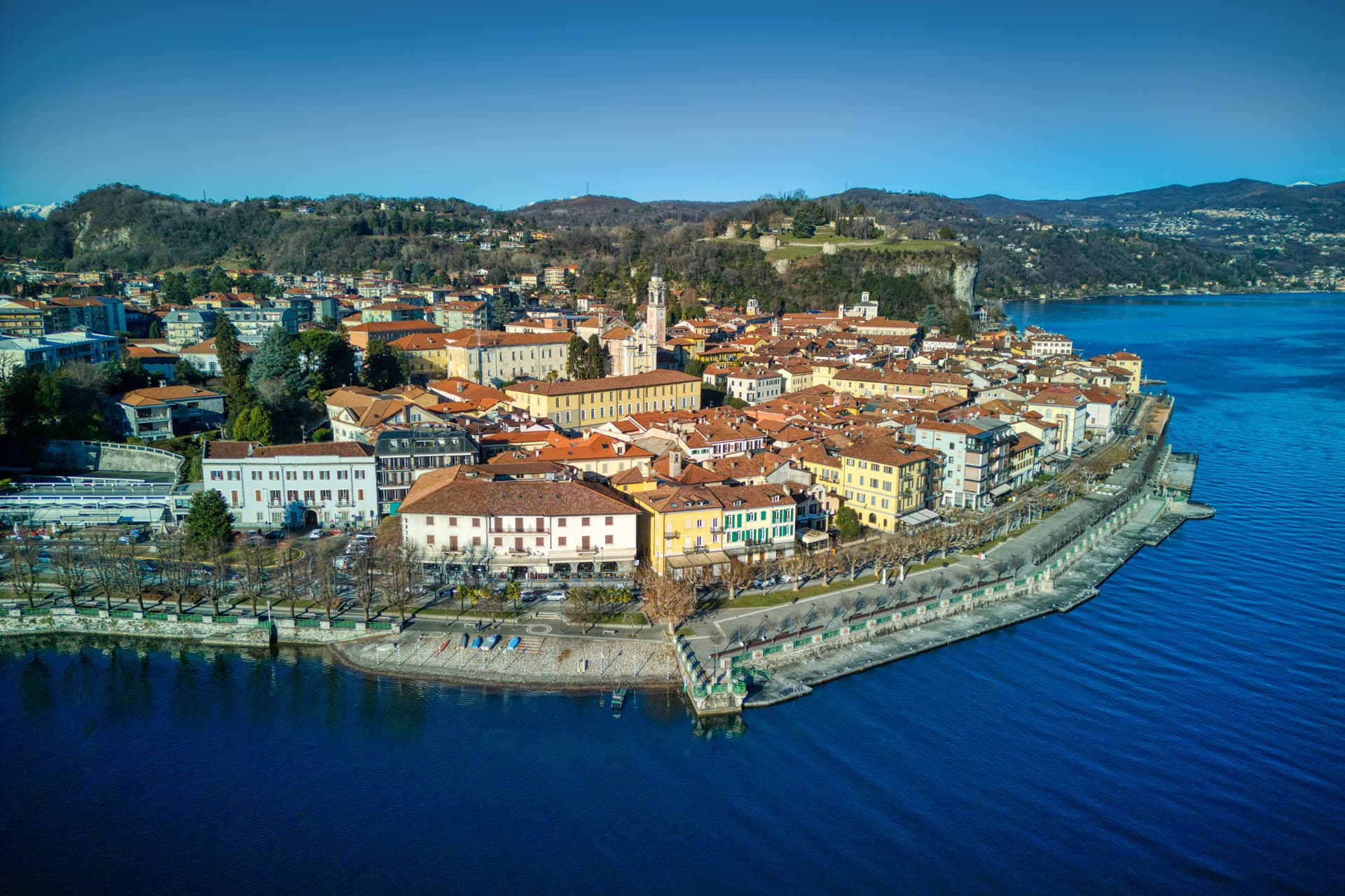
Arona
Province: Novara · 212 m
A Lake Maggiore town at the southern tip of the lake, watched over by a 35-meter copper colossus of San Carlo Borromeo finished in 1698.
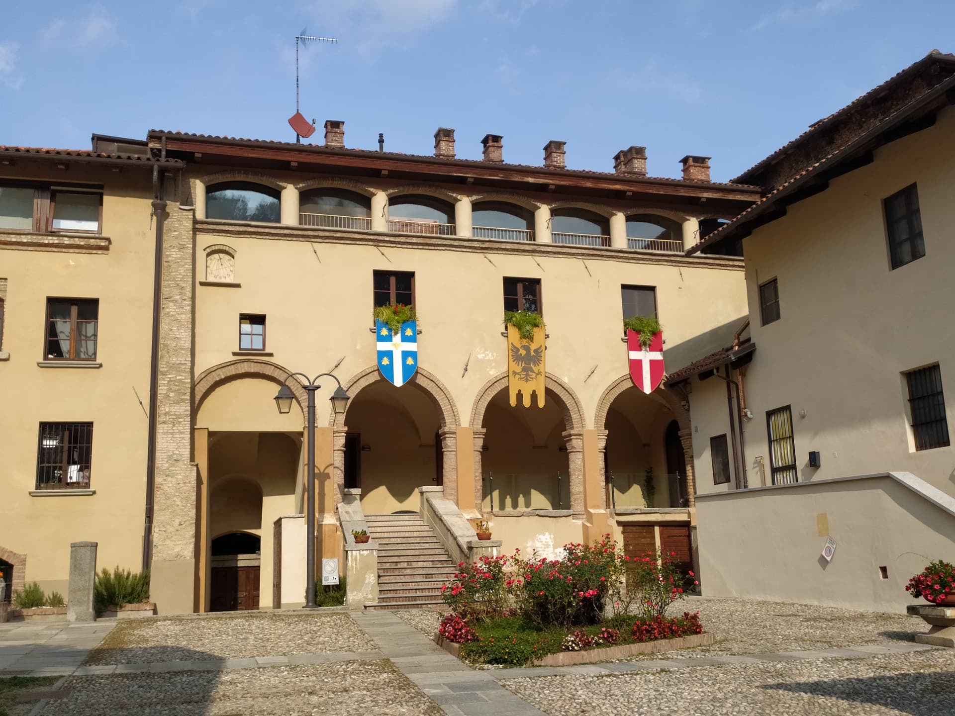
Avigliana
Province: Torino · 383 m
A medieval Savoy town at 383 meters at the mouth of the Susa Valley, between two glacial lakes and the Sacra di San Michele.
Chiusa di Pesio
Province: Cuneo · 575 m
The valley mouth town at 575 meters where the Pesio leaves the Ligurian Alps, founded around a Carthusian monastery donated in 1173.
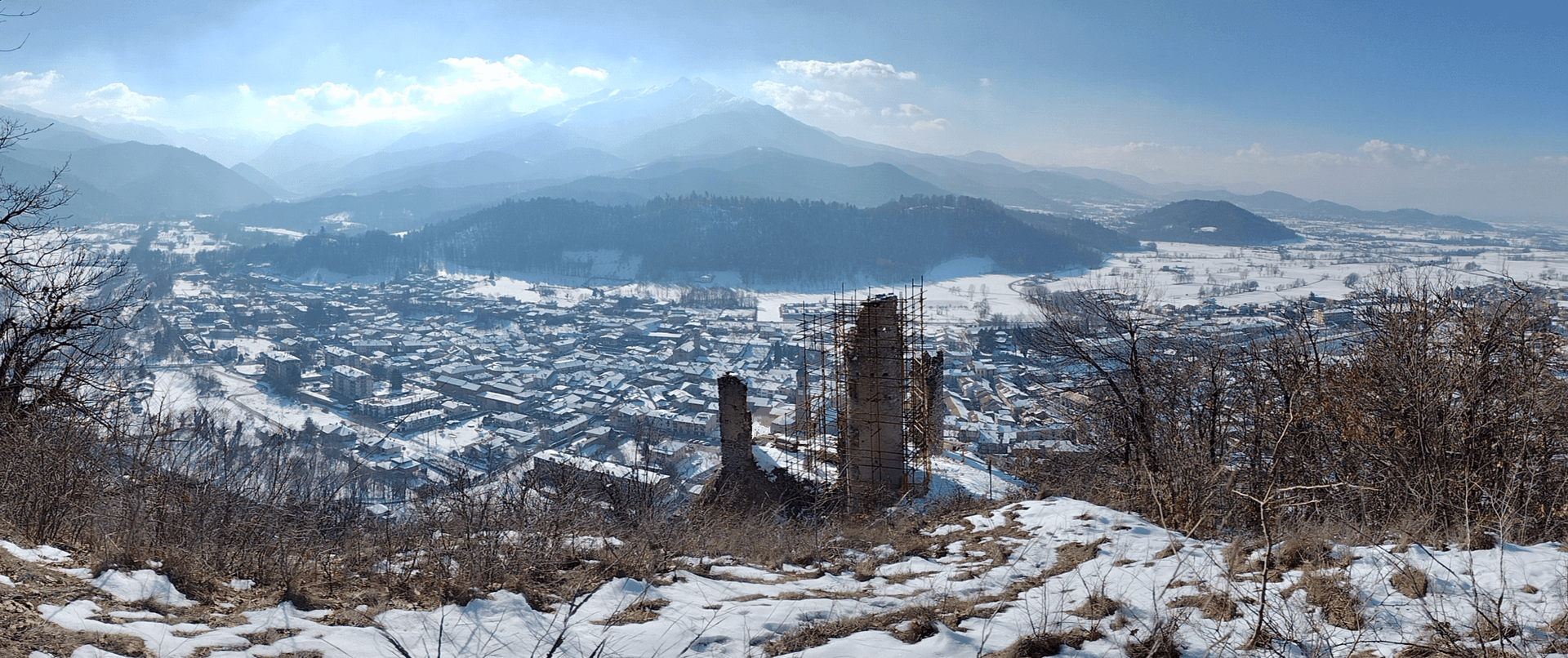
Fenestrelle
Province: Torino · 1,154 m
A Val Chisone village at 1,154 meters below the largest alpine fortress in Europe, three kilometers of stone climbing 650 vertical meters up the ridge.
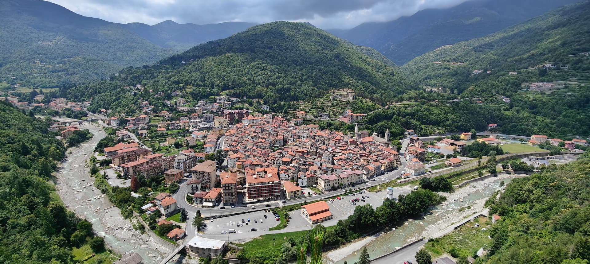
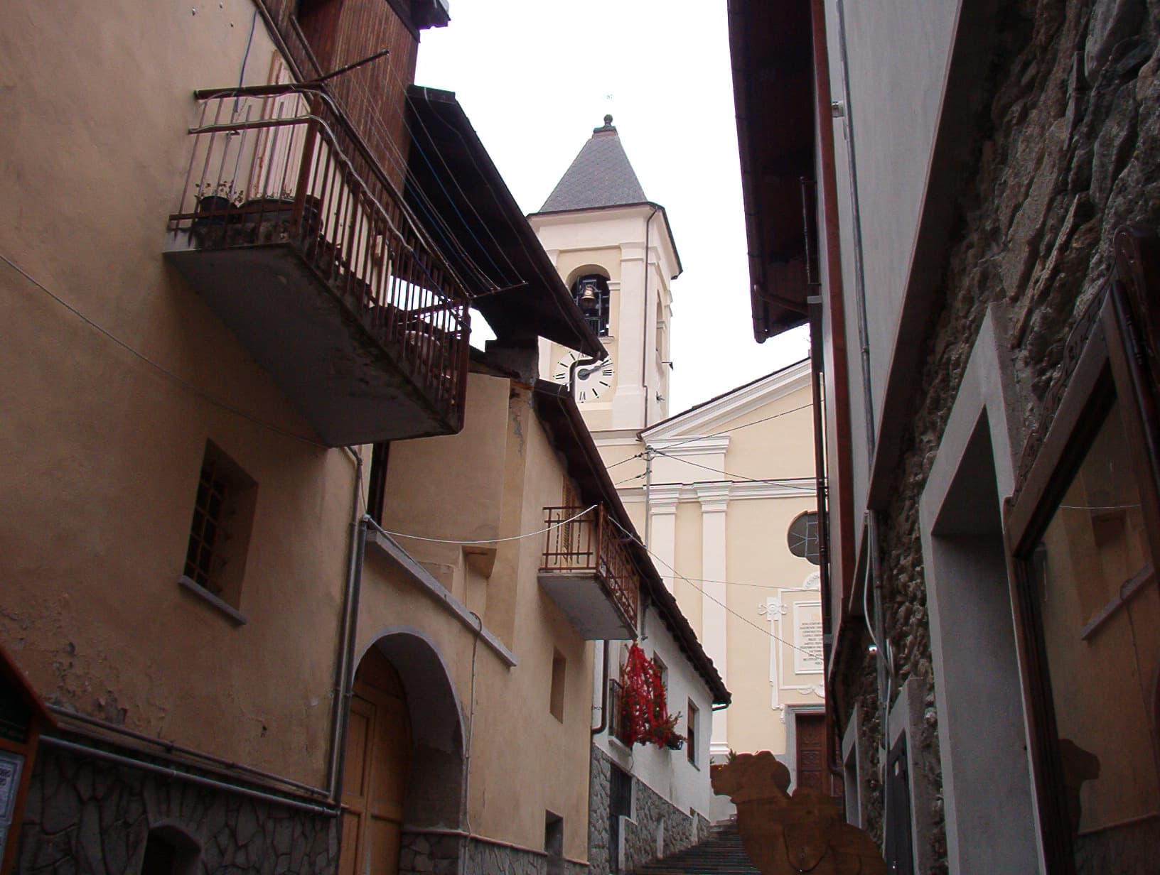
Ormea
Province: Cuneo · 736 m
A heart-shaped Ligurian-Alps borgo at 736 meters in the upper Tanaro valley, the southernmost town in Piemonte before the Imperia ridge.
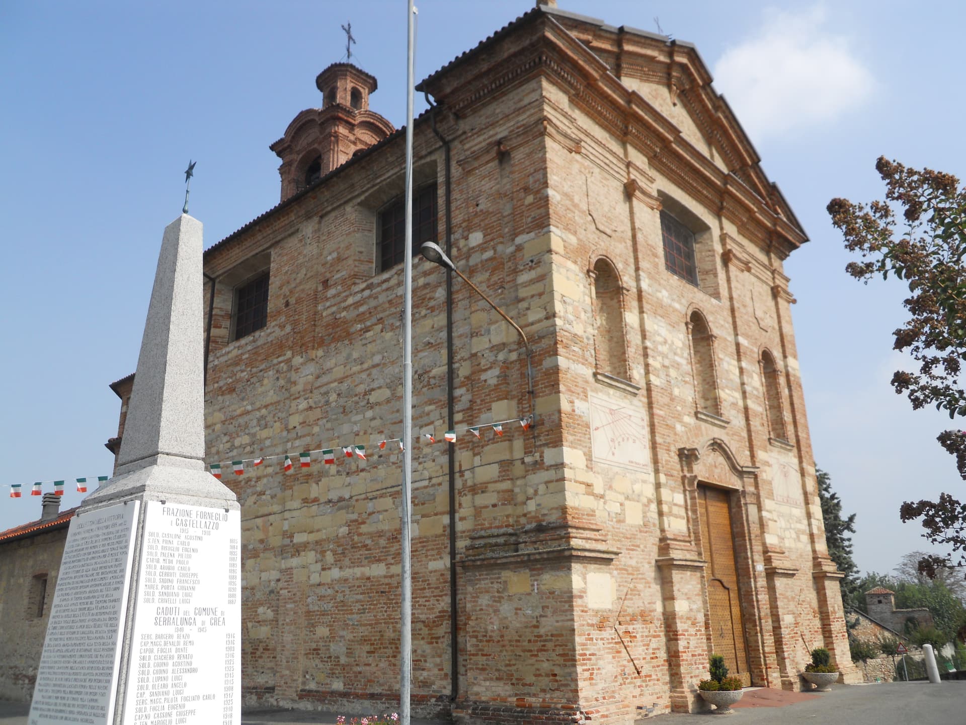
Serralunga di Crea
Province: Alessandria · 302 m
A Basso Monferrato commune of 503 holding the Sacro Monte di Crea, a UNESCO Sacri Monti site of 23 chapels around an Eusebian sanctuary.
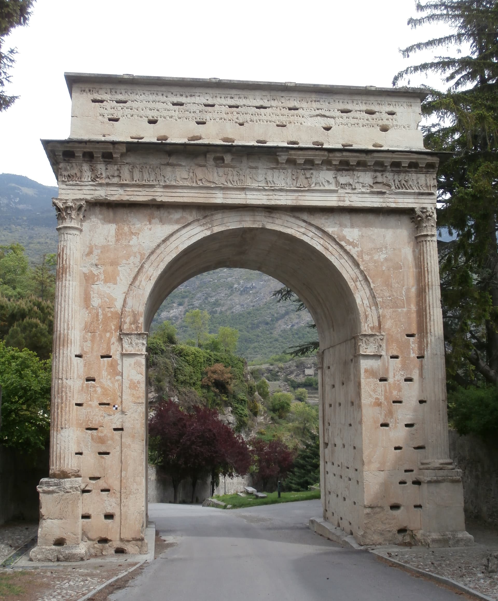
Susa
Province: Torino · 503 m
The Roman gateway to the Cottian Alps at 503 meters, capital of the Alpes Cottiae and seat of the Cozii under Augustus and Cottius.
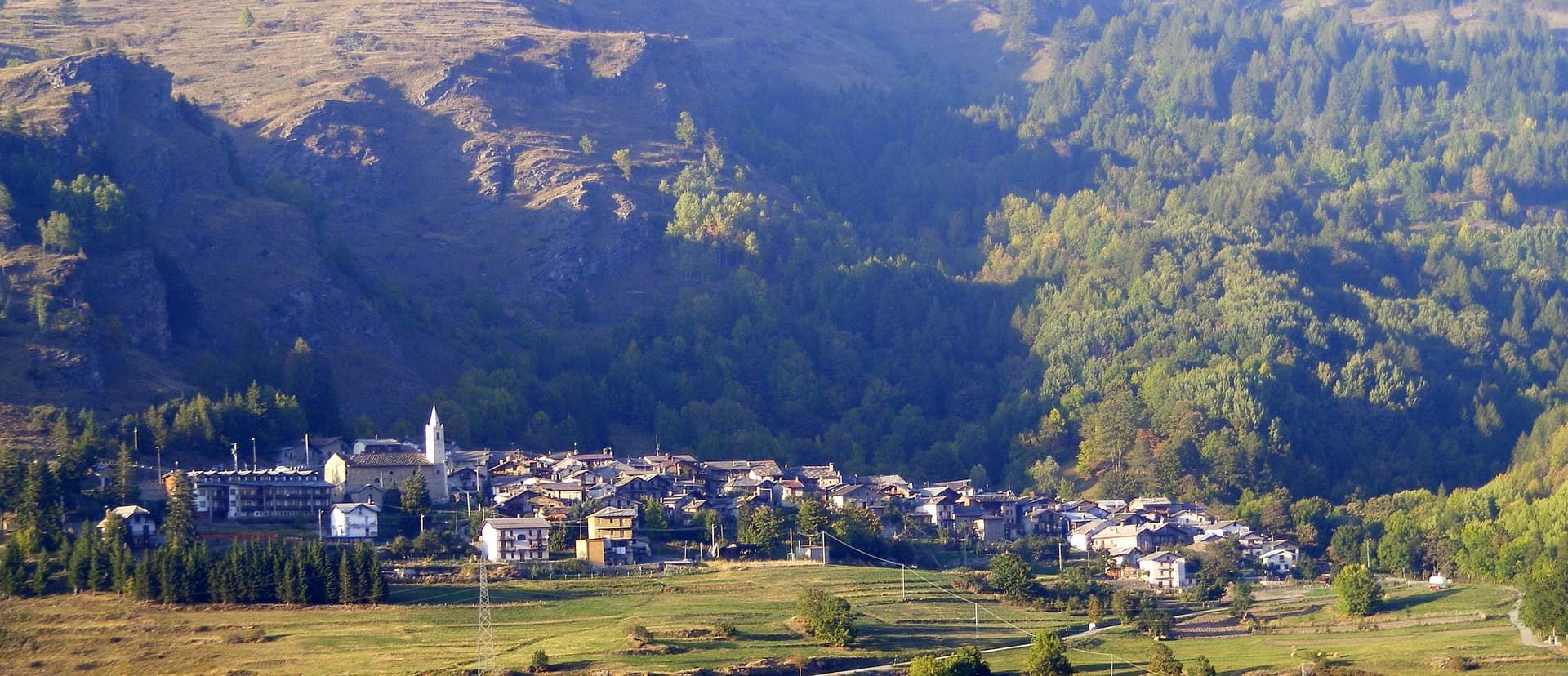
Usseaux
Province: Torino · 1,416 m
A Val Chisone village at 1,416 meters with four scattered borgate and more than forty murals painted across the stone facades.
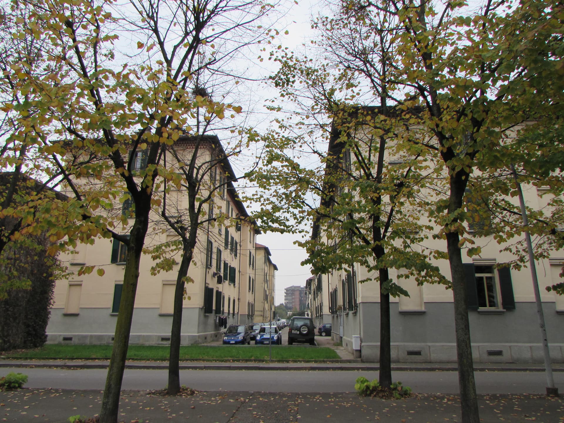
Venaria Reale
Province: Torino · 269 m
A Savoy town on the edge of Torino, built around the Reggia di Venaria, a UNESCO baroque palace with sixty hectares of gardens.
Sicily16
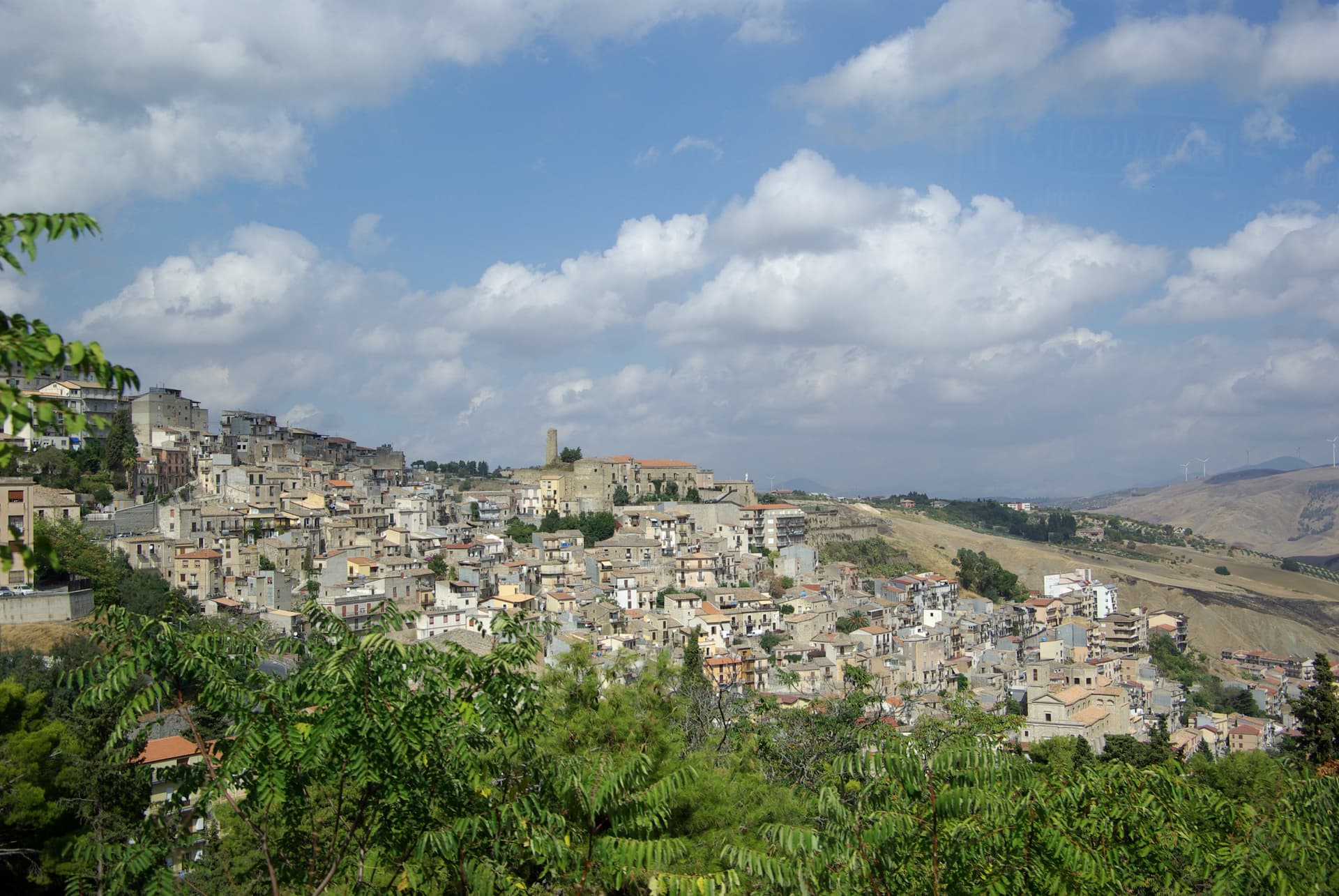
Cammarata
Province: Agrigento · 700 m
A Sicani town at 700 meters on the northeast slope of Monte Cammarata, the 1,578-meter peak that gives the comune its name and shape.
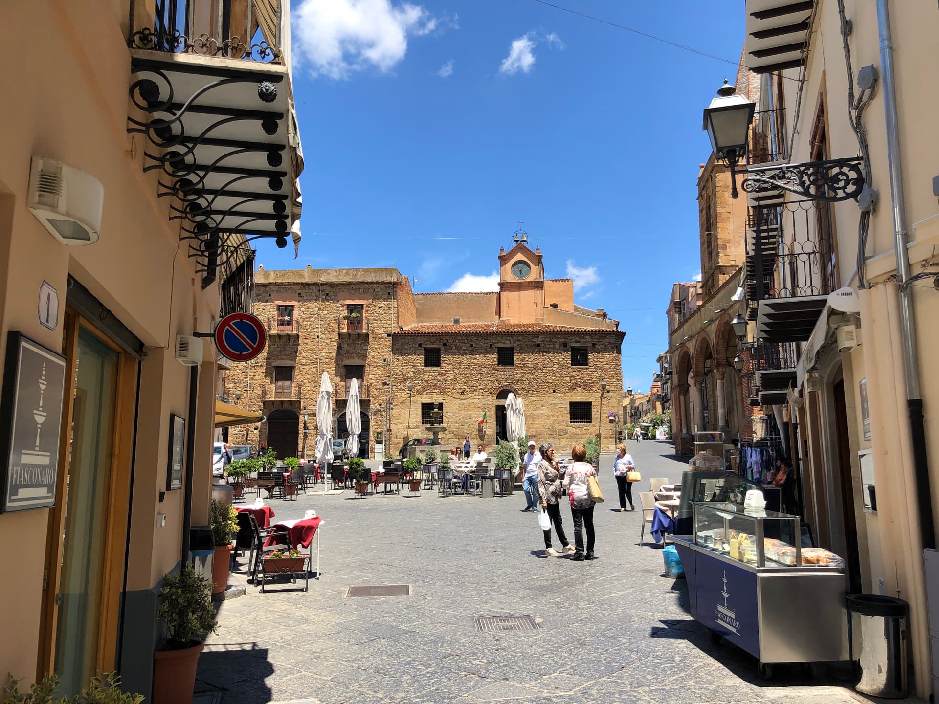
Castelbuono
Province: Palermo · 423 m
A Madonie town at 423 meters around the Ventimiglia castle, where manna is still tapped from ash trees and Fiasconaro bakes the panettone.
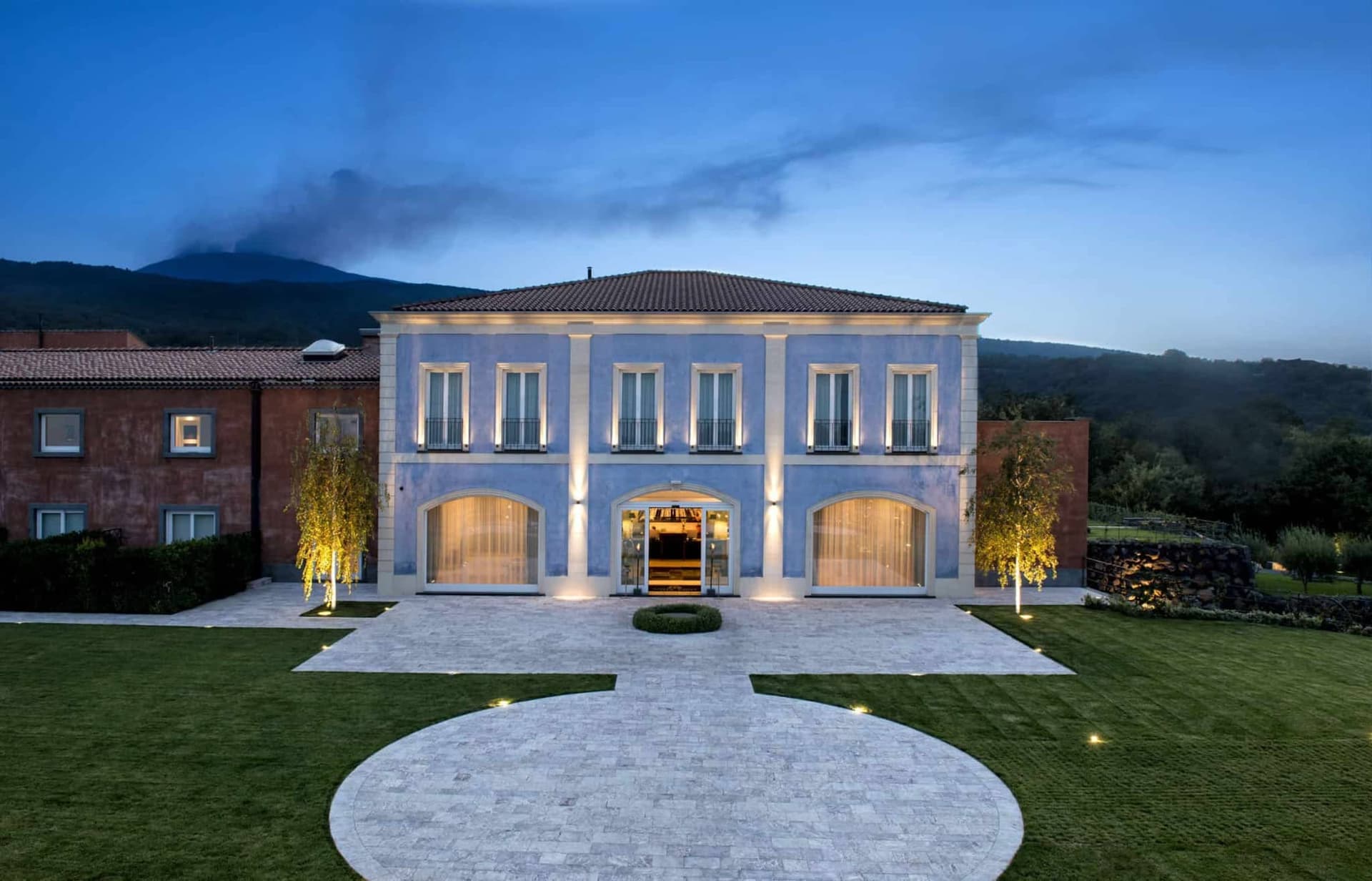
Castiglione di Sicilia
Province: Catania · 621 m
A hill town on the north flank of Etna at 621 meters, base camp for the Alcantara valley and the volcano's most serious red wines.
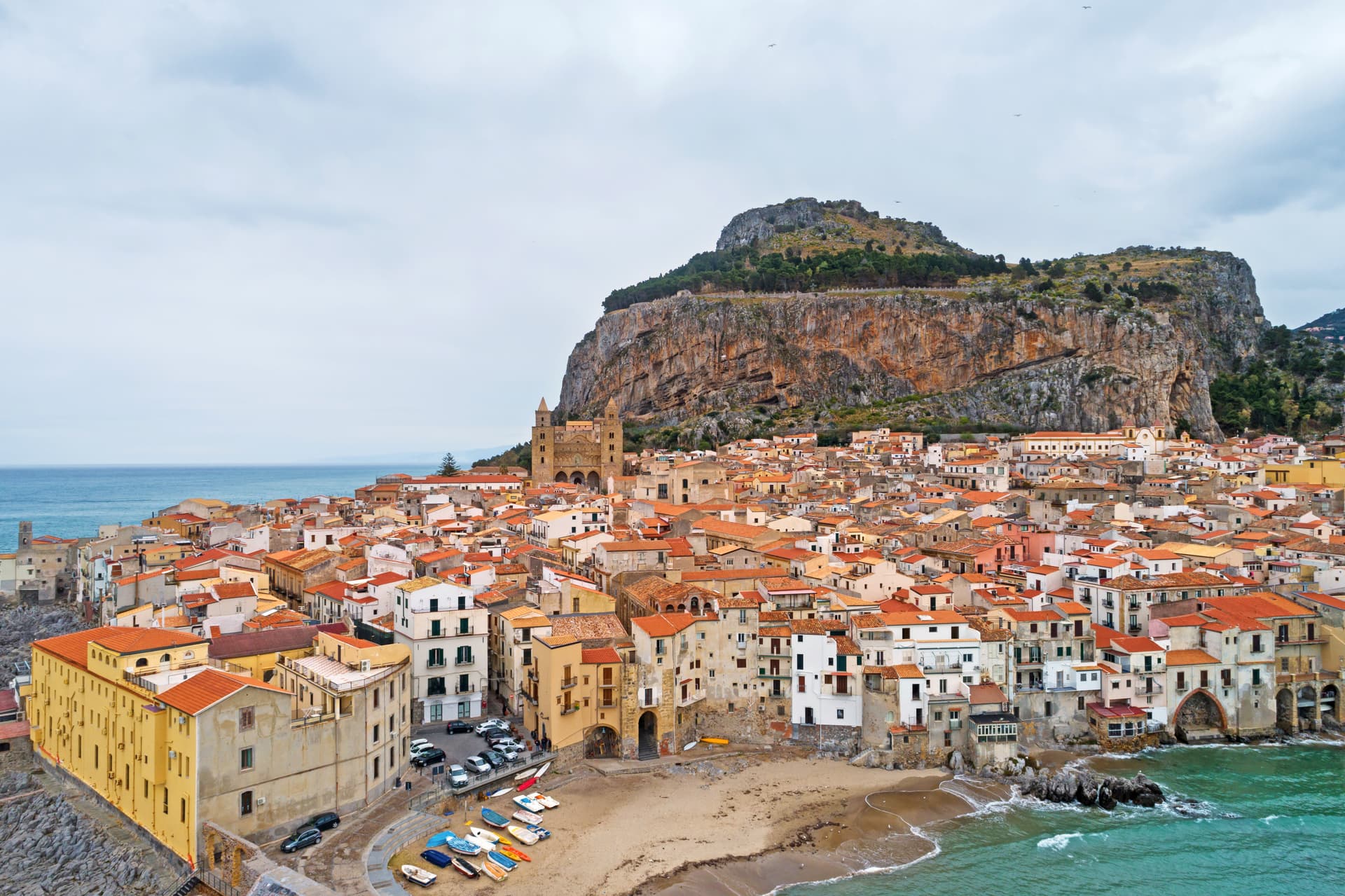
Cefalù
Province: Palermo · 16 m
A Norman cathedral at the foot of a 270-meter rock on the Tyrrhenian coast, founded by Roger II in 1131 and on the UNESCO Arab-Norman list since 2015.
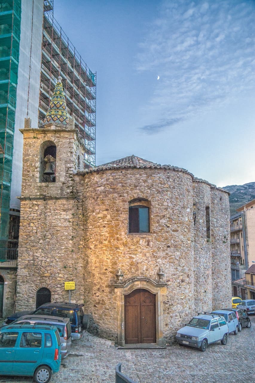
Geraci Siculo
Province: Palermo · 1,077 m
A Madonie ridge village at 1,077 meters, capital of the Ventimiglia marquisate from 1258 and the first marquisate granted in Sicily.
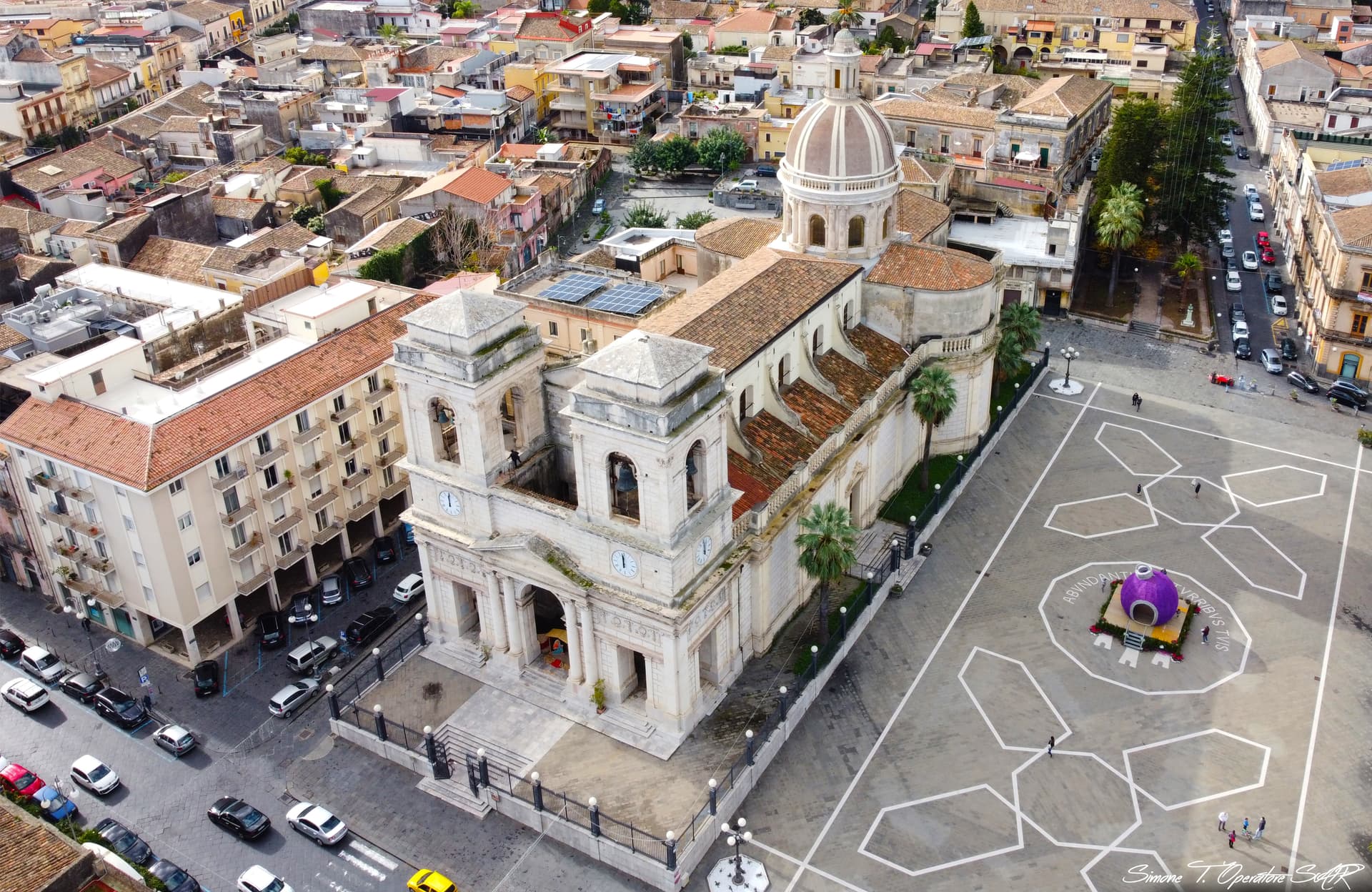
Giarre
Province: Catania · 81 m
An Etna town that split from Mascali in 1815 and built a neoclassical duomo, with two bell towers framing the volcano behind it.
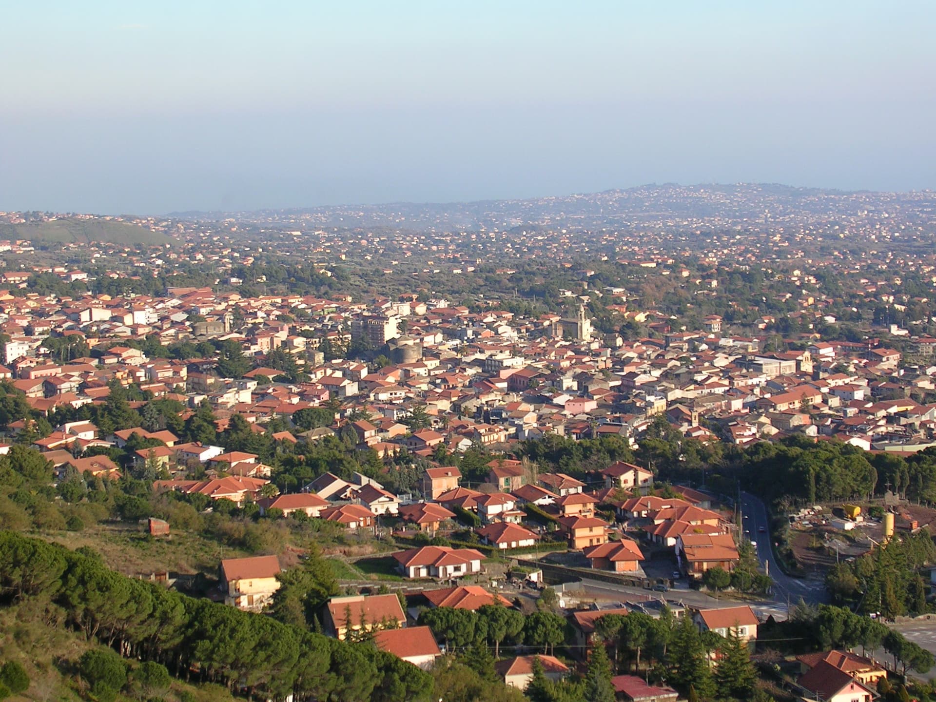
Nicolosi
Province: Catania · 698 m
The southern gateway to Etna at 698 meters, twice destroyed by the 1669 eruption, base camp for the volcano cable car at Rifugio Sapienza.
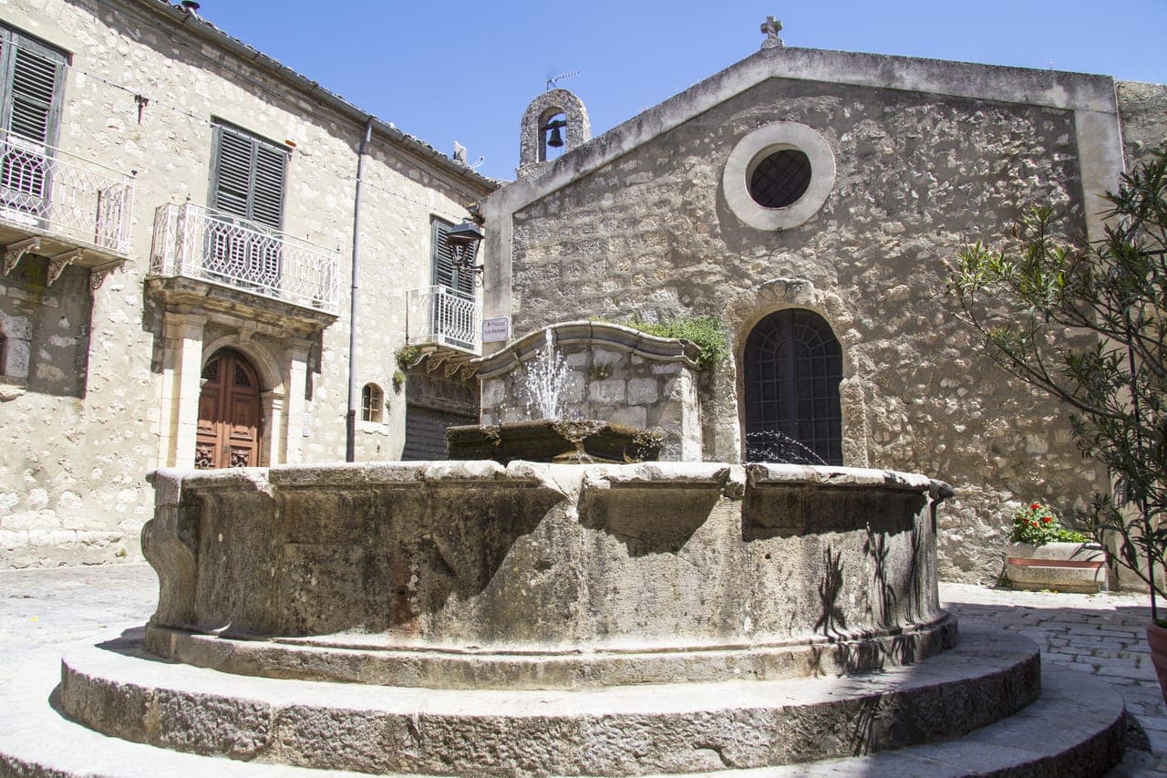
Petralia Soprana
Province: Palermo · 1,147 m
The highest village in the Madonie at 1,147 meters, RAI Borgo dei Borghi 2018 winner, sitting above 80 kilometers of salt tunnels.
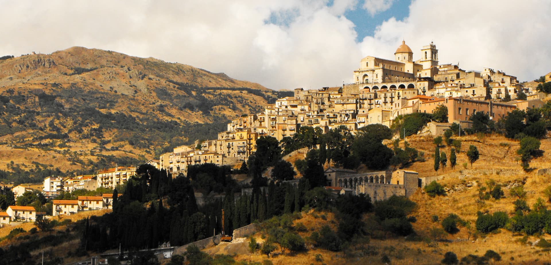
Petralia Sottana
Province: Palermo · 1,000 m
A Madonie village at 1,000 meters, the only Bandiera Arancione in Sicily, and the headquarters of the Parco delle Madonie.
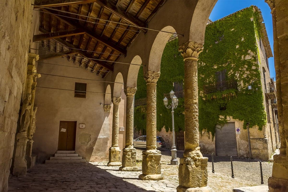
Polizzi Generosa
Province: Palermo · 917 m
A Madonie town at 917 meters inside a UNESCO Global Geopark, hazelnut country and the birthplace of Domenico Dolce.
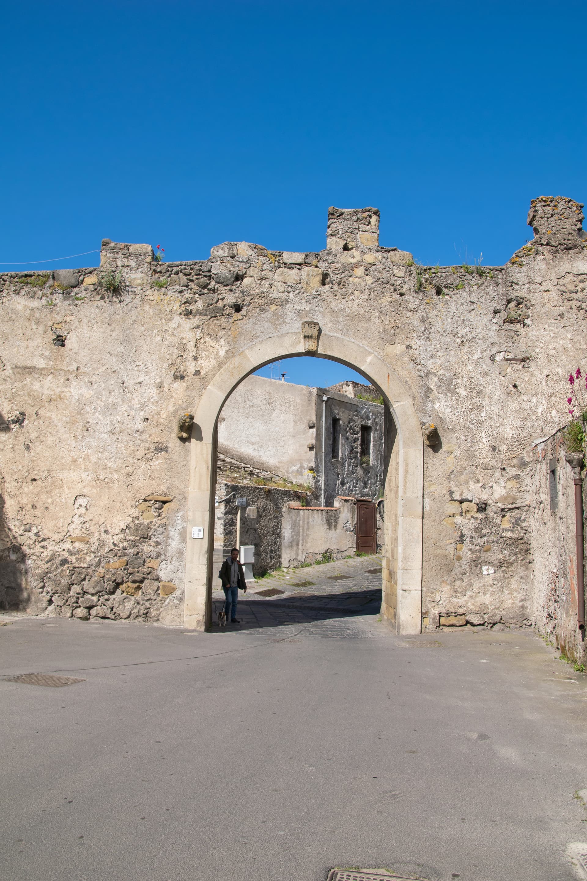
Randazzo
Province: Catania · 750 m
A medieval town in black lava stone at 750 meters on Etna's north foot, with three quarter churches for Latins, Greeks and Lombards.
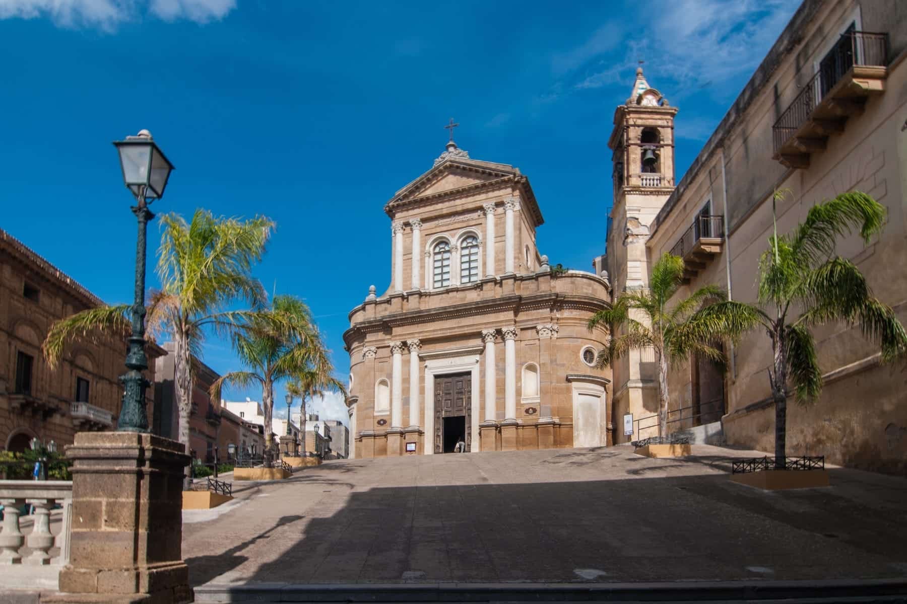
Sambuca di Sicilia
Province: Agrigento · 350 m
An Arab-founded hill town in the Belice valley, named Borgo dei Borghi in 2016, still called Zabut in living memory before 1923.
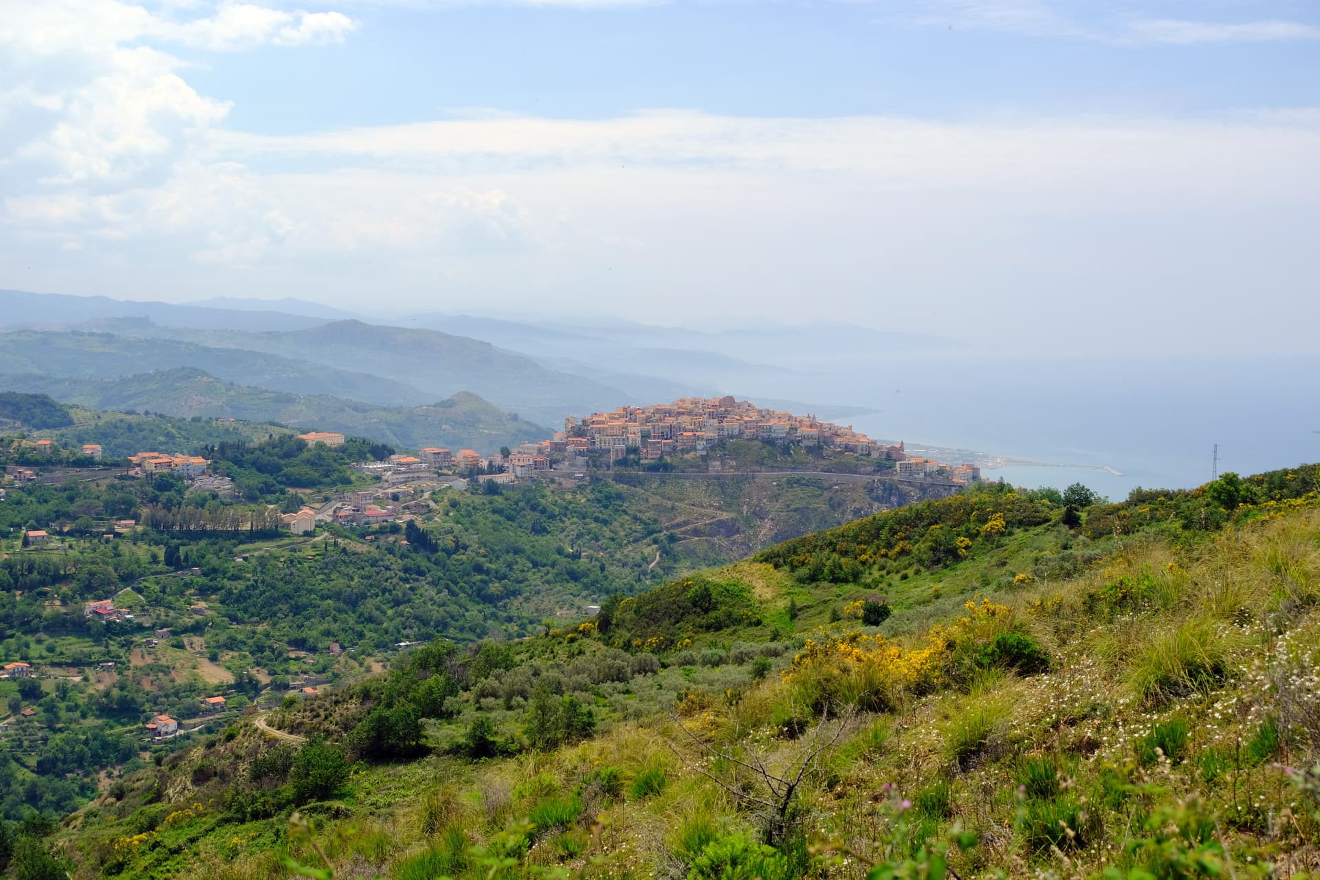
San Marco d'Alunzio
Province: Messina · 540 m
A hilltop borgo at 540 meters built in pink Aluntina marble, Robert Guiscard's first Sicilian base for the eleventh-century Norman conquest.
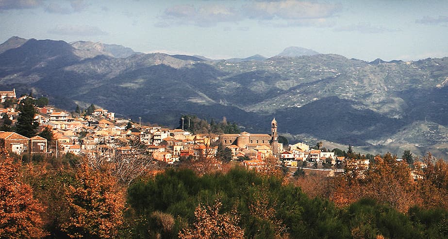
Sant'Alfio
Province: Catania · 537 m
An Etna village at 537 meters where the world's largest and oldest chestnut tree has been measured at over 57 meters in girth.
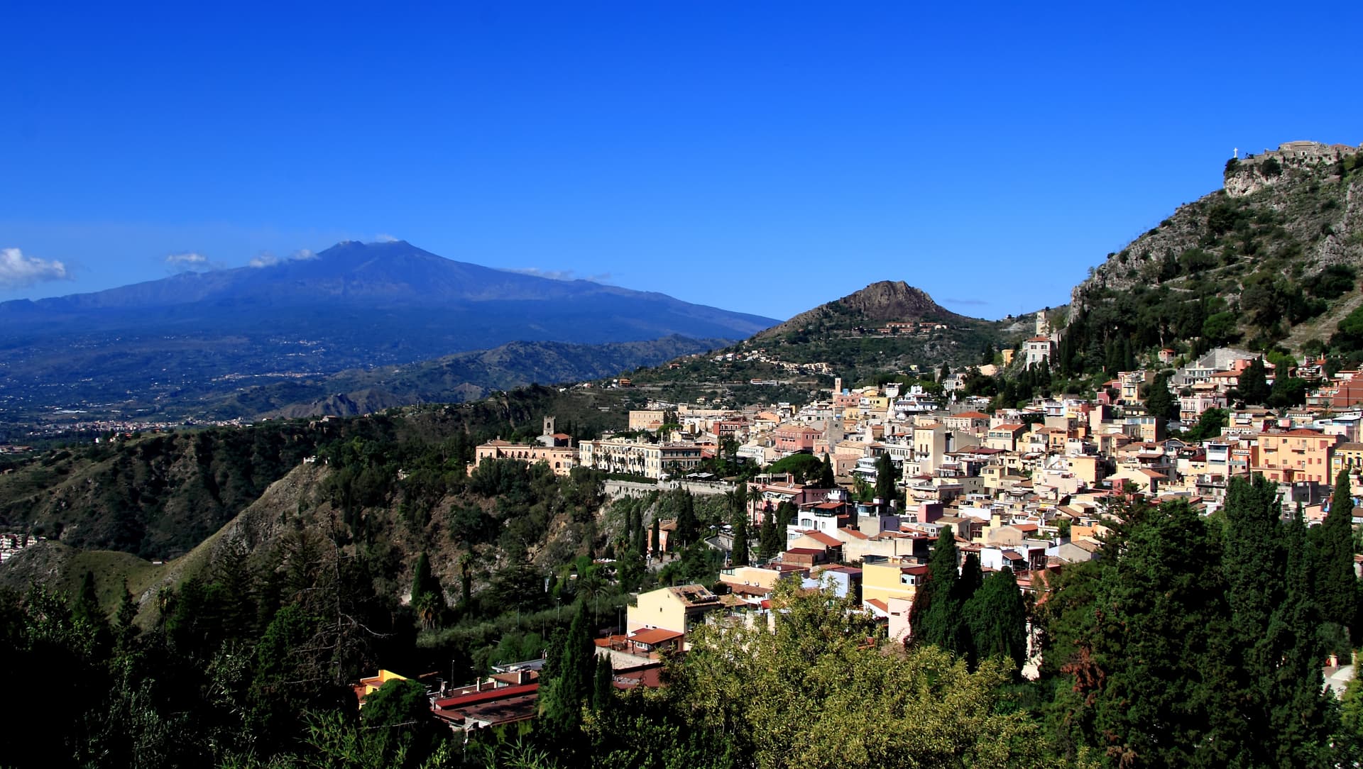
Taormina
Province: Messina · 204 m
A 204-meter terrace above the Ionian with Etna on the southern horizon, a Greek-Roman theatre carved into the rock since the third century BC.

Troina
Province: Enna · 1,121 m
At 1,121 meters on the Nebrodi ridge, the first capital and first bishopric the Normans set up in Sicily after taking it from the Arabs.
Trentino-Alto Adige/Südtirol2
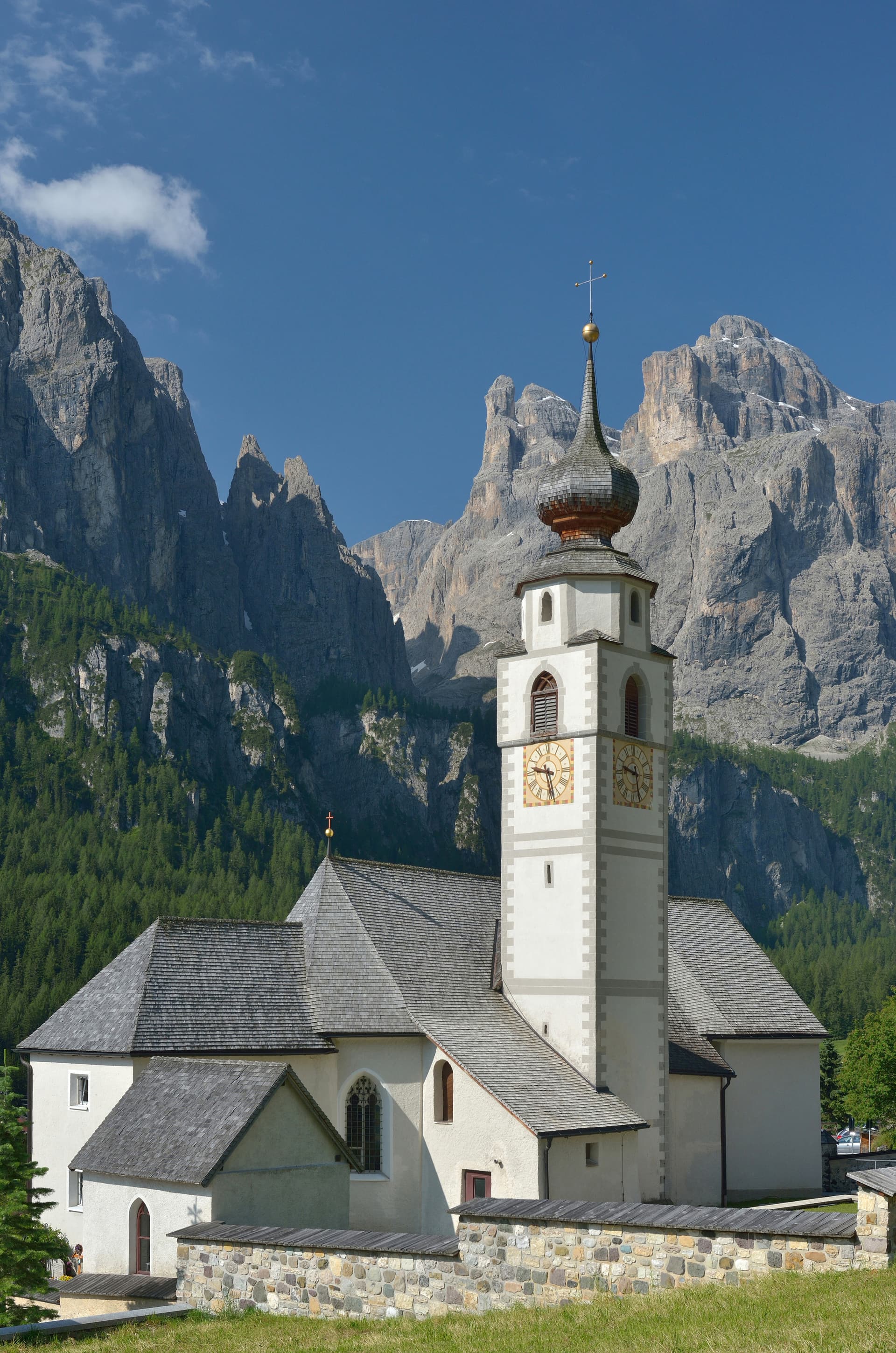
Corvara in Badia
Province: Bolzano · 1,568 m
The Ladin centre of Alta Badia at 1,568 metres, at the foot of the Sassongher, on the four-pass Sellaronda ski circuit.
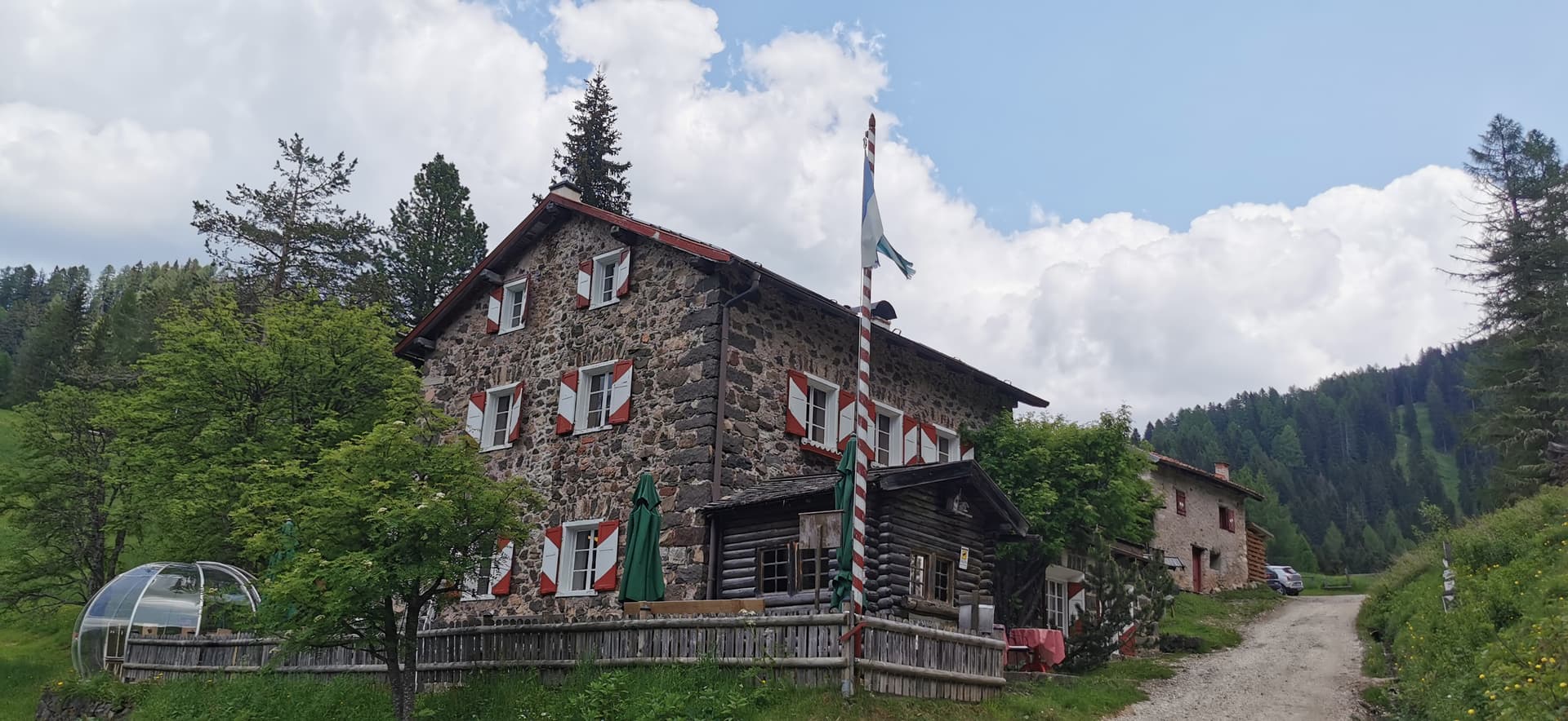
Moena
Province: Trento · 1,184 m
The largest village in Val di Fassa, Ladin-speaking, dressed in Ottoman costume for three days every August.
Tuscany11
- ✷ We've been
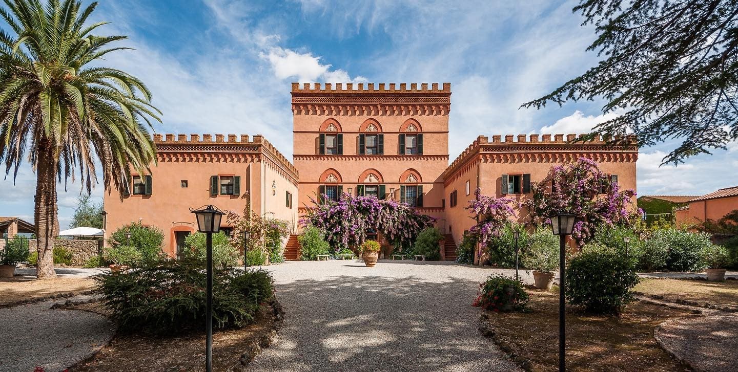
Campiglia Marittima
Province: Livorno · 231 m
A walled hilltop borgo above the Val di Cornia, where the Rocca tower watches a mining landscape worked from the Etruscans to 1976.
- ✷ We've been
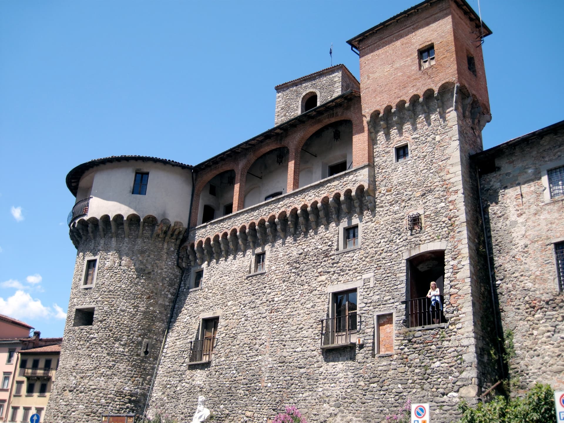
Castelnuovo di Garfagnana
Province: Lucca · 277 m
The Garfagnana capital where Ariosto served as Este governor — a fortified medieval borgo at the confluence of the Serchio and the Turrite where the Tuscan Apennines meet the Alpi Apuane, and where the local farro IGP and chestnut flour are the foundation of one of Italy's most distinctive mountain kitchens.
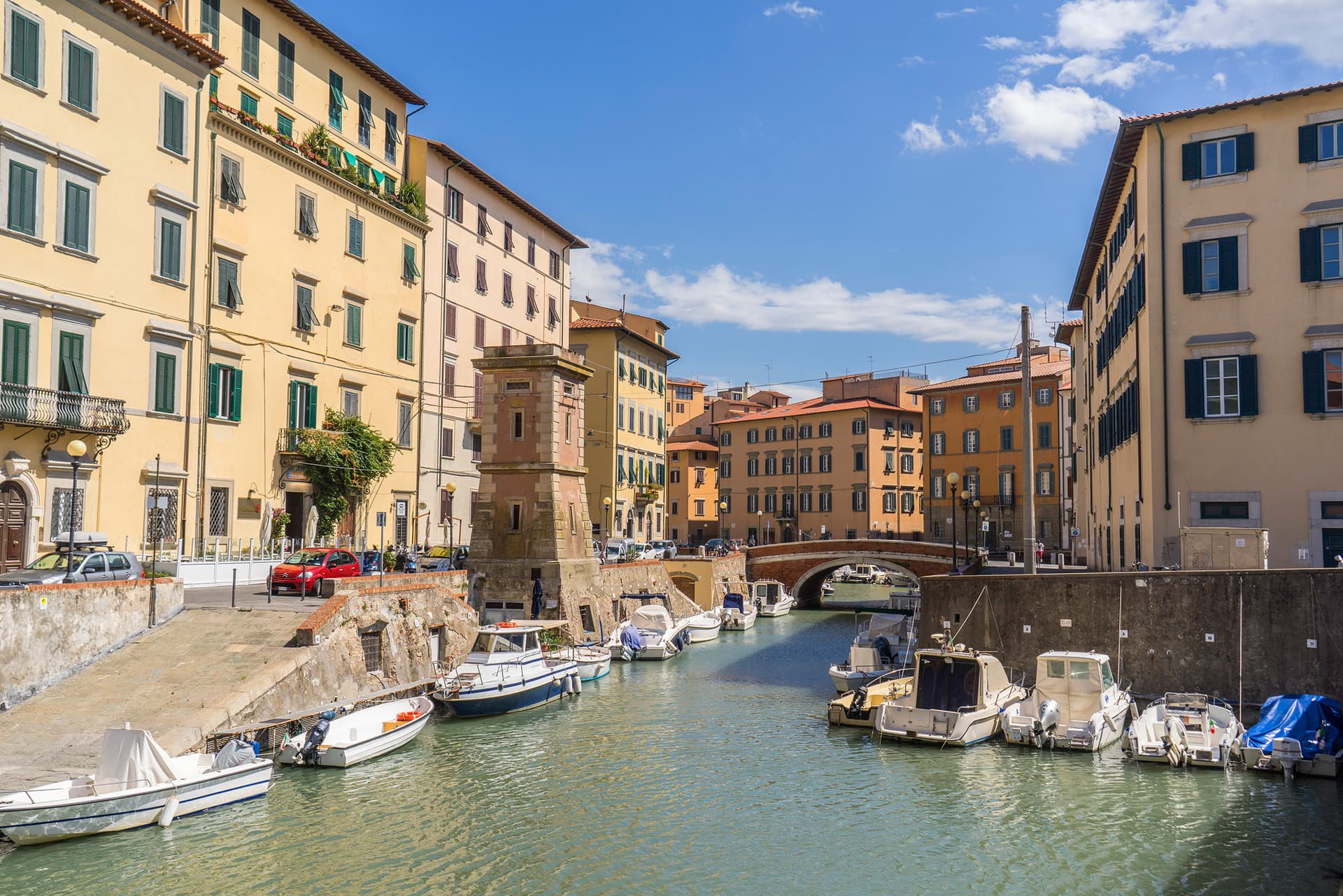
Livorno
Province: Livorno · 3 m
Tuscany's working port and Medici-planned 'New City' — a 16th-century planned town built on reclaimed coast, with a Venice-like canal quarter, the Quattro Mori monument, and a 1.5-km seafront promenade that locals call the world's most beautiful balcony.
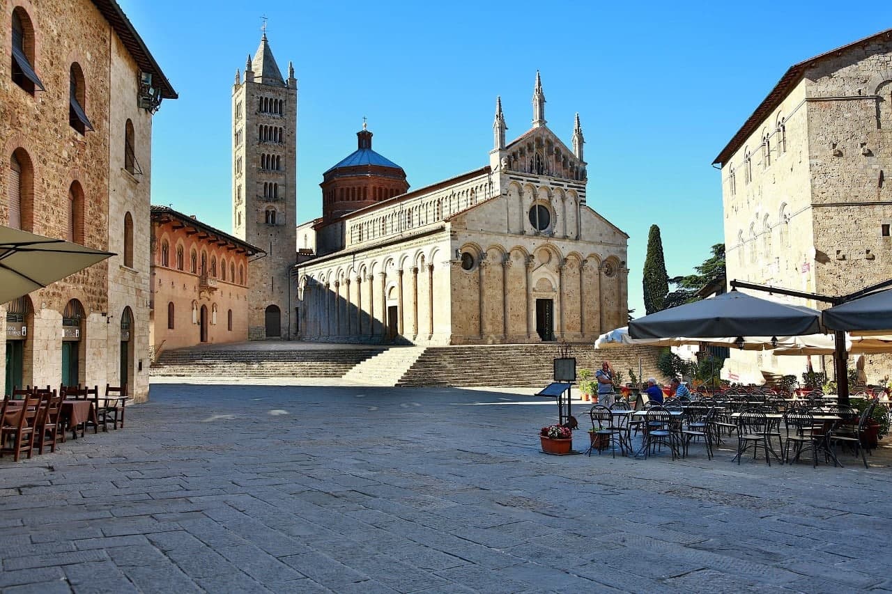
Massa Marittima
Province: Grosseto · 380 m
A medieval mining town at 380 meters in the Colline Metallifere, free commune from 1255 to 1337, whose cathedral holds the relics of San Cerbone.
- ✷ We've been
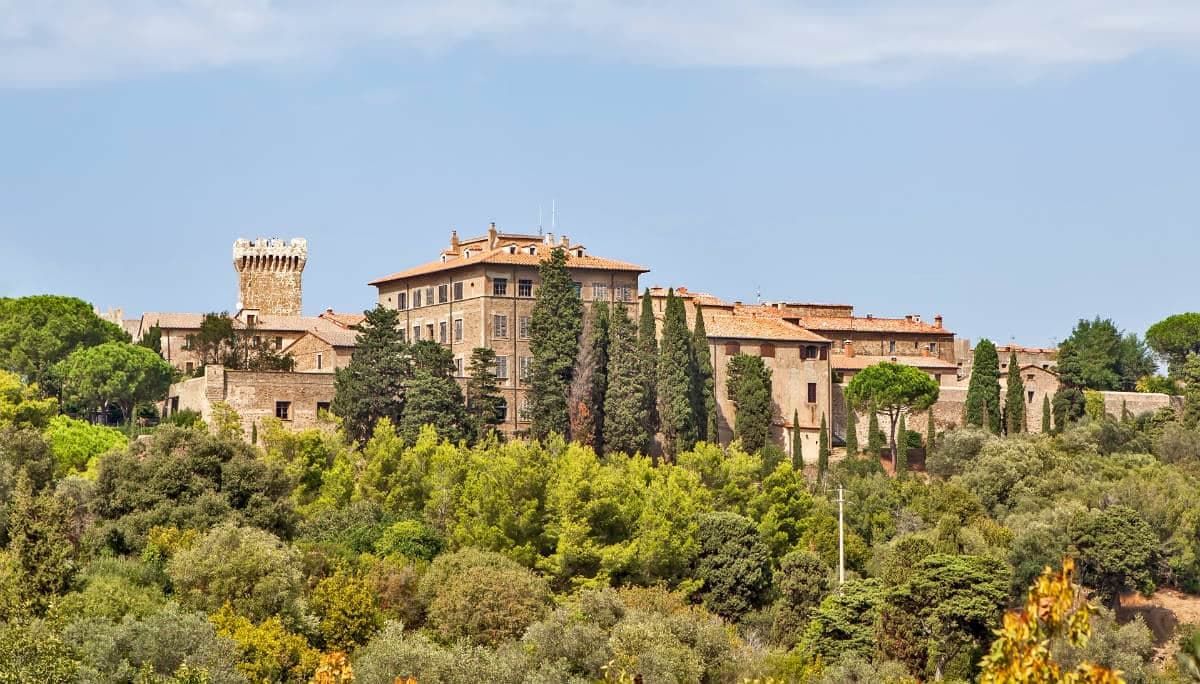
Piombino
Province: Livorno · 21 m
A promontory port facing Elba across the channel, founded by refugees from Etruscan Populonia and now the Tuscan archipelago's ferry capital.
- ✷ We've been
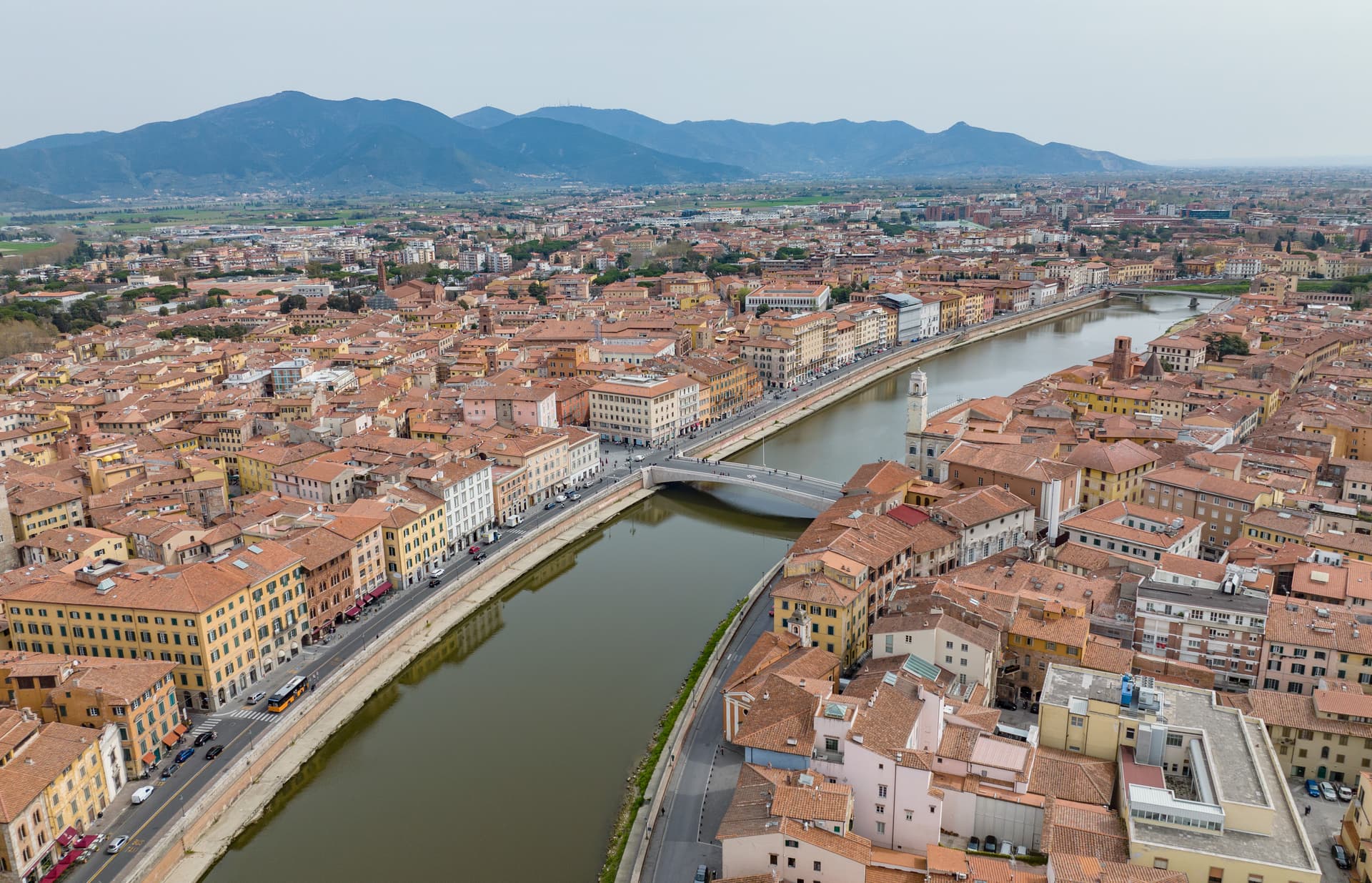
Pisa
Province: Pisa · 4 m
Maritime republic on the Arno, twelve kilometers from the Ligurian Sea, with the leaning bell tower at the center of a single UNESCO-listed walled compound.
- ✷ We've been
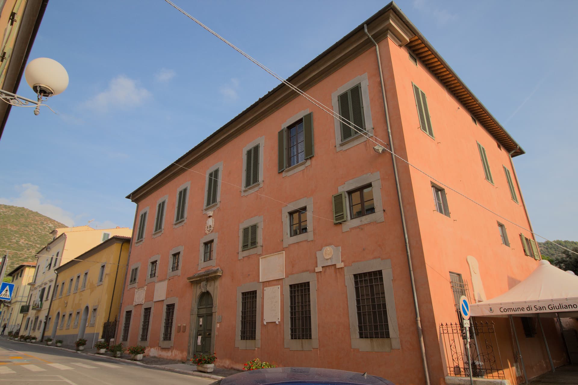
San Giuliano Terme
Province: Pisa · 10 m
A thermal spa at the foot of Monte Pisano, ten kilometers from Pisa, where the springs were bathed since the Romans called them Aquae Pisanae.
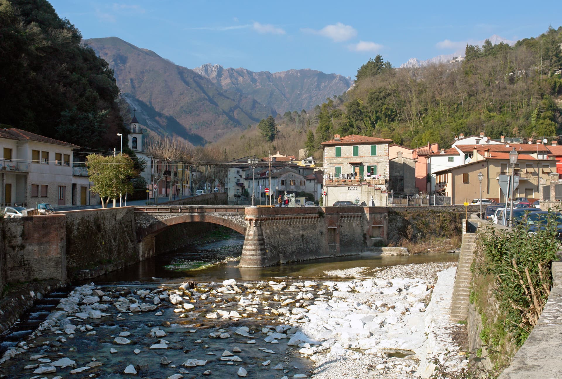
Seravezza
Province: Lucca · 100 m
The Versilia town at the foot of Monte Altissimo where Michelangelo opened the Pope's marble quarries and Cosimo I built his summer palace.
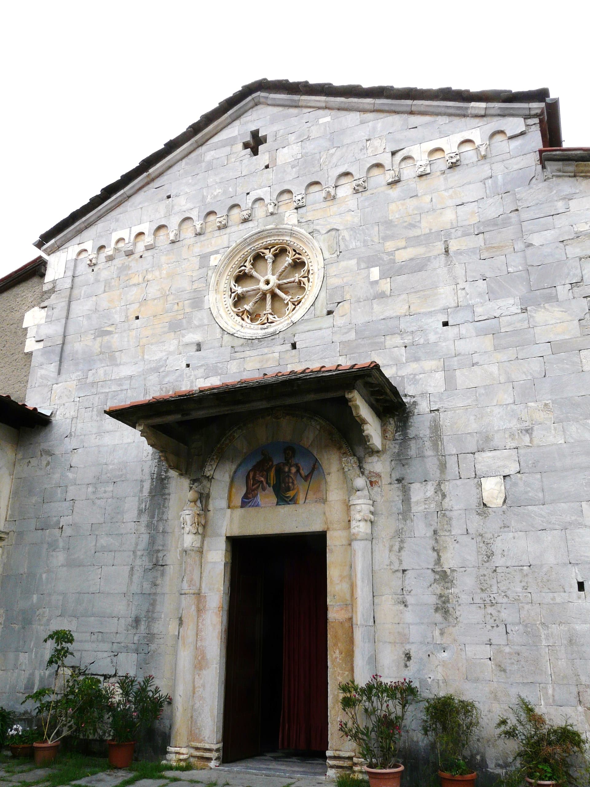
Stazzema
Province: Lucca · 440 m
A mountain commune of seventeen hamlets in the Apuan Alps, site of the August 1944 Sant'Anna massacre and Italy's National Park of Peace.
- ✷ We've been
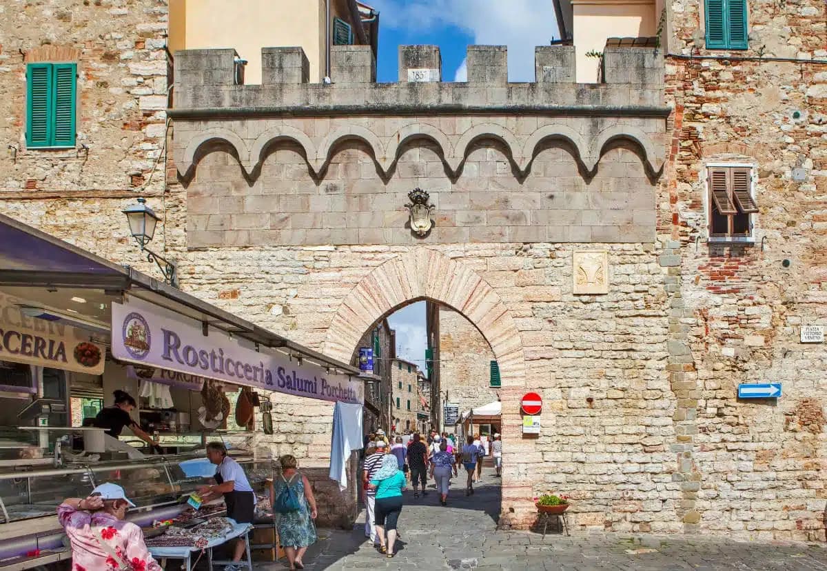
Suvereto
Province: Livorno · 127 m
A stone borgo at 127 meters above the Val di Cornia, named for the cork oaks of its forests and ruled from the Rocca Aldobrandesca since 973.
- ✷ We've been
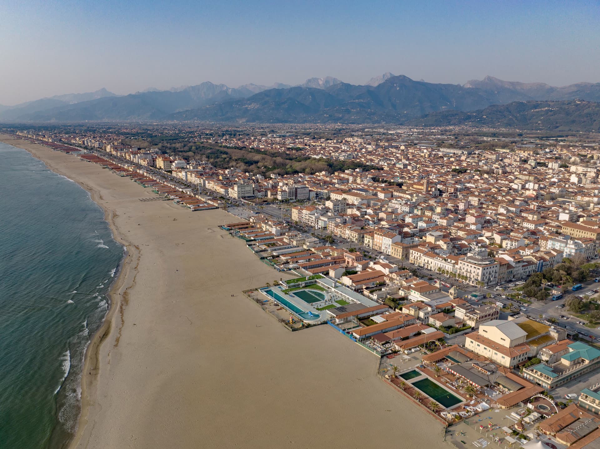
Viareggio
Province: Lucca · 2 m
The Versilia capital, a Liberty-architecture seafront built around the 1873 Carnival and the 254-kilogram papier-mâché floats that still parade every February.
Umbria18
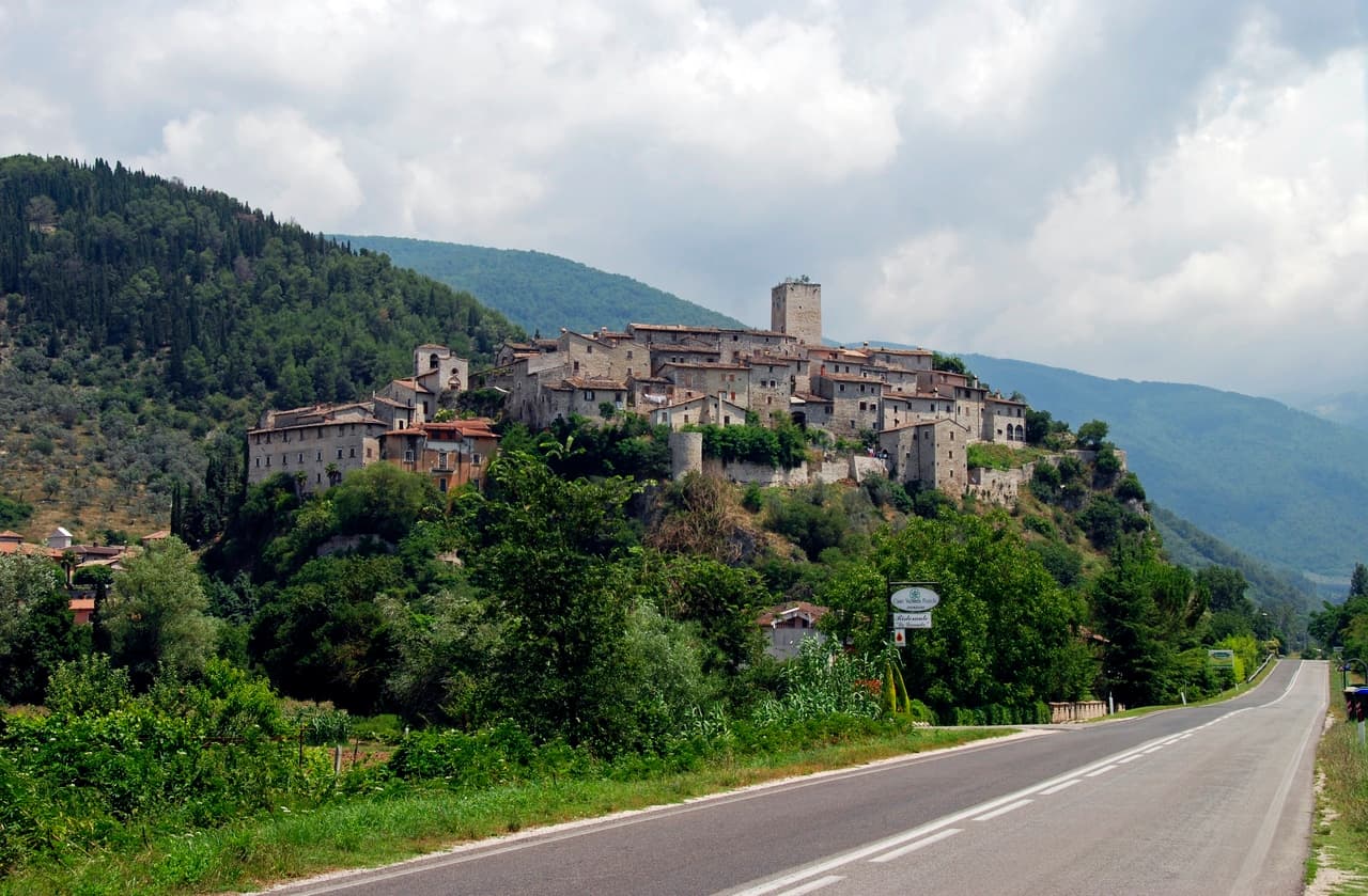
Arrone
Province: Terni · 243 m
Medieval castle village on the left bank of the Nera at 243 meters, upstream from the largest man-made waterfall in the world.
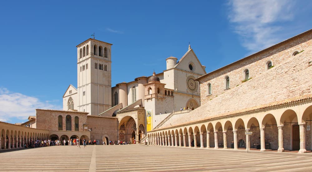
Assisi
Province: Perugia · 424 m
A pink limestone town at 424 meters on the western flank of Monte Subasio, the birthplace of Francis and a UNESCO site since 2000.
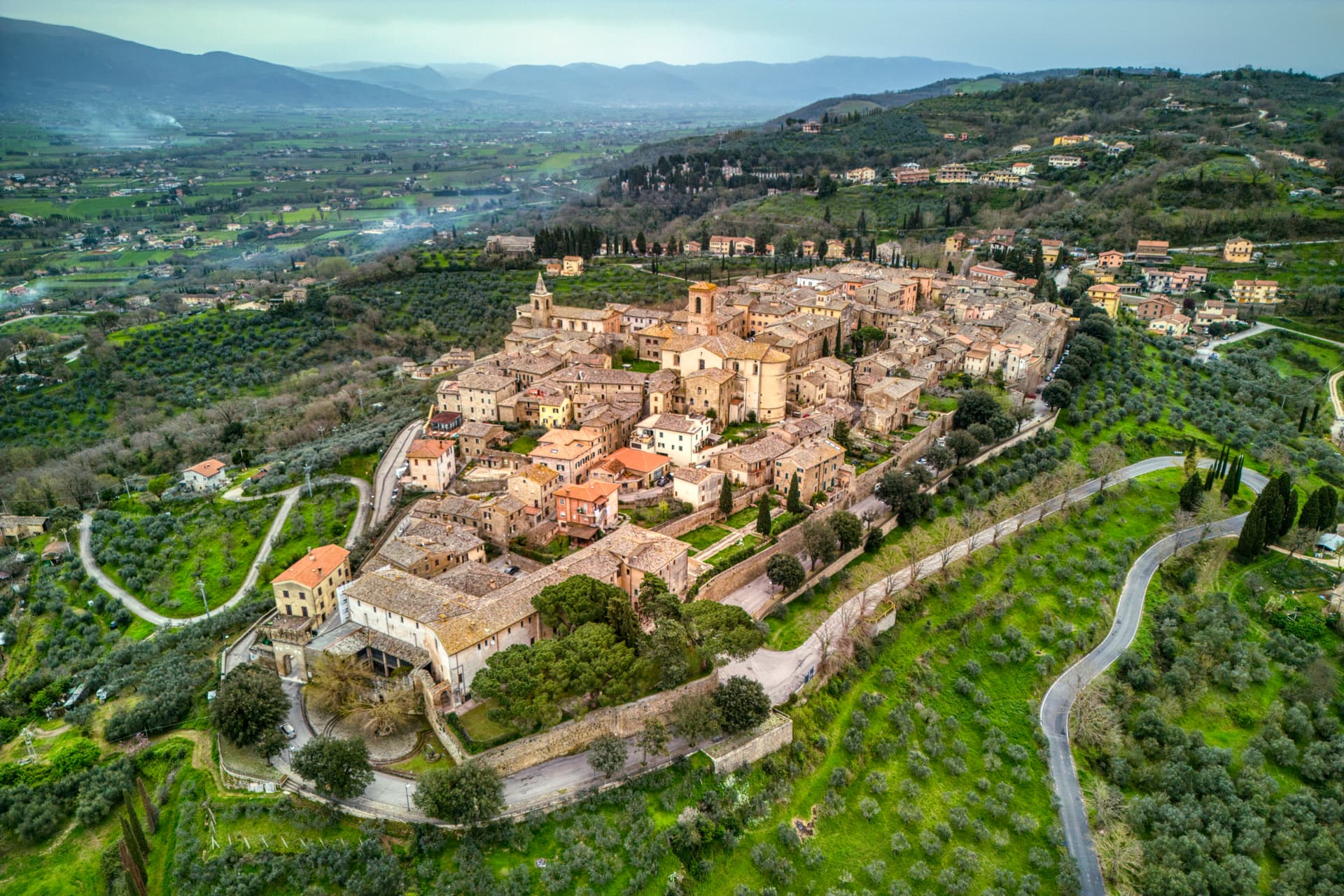
Bettona
Province: Perugia · 353 m
A hill town at 353 meters between the Topino and Chiascio rivers, the only Etruscan settlement ever built east of the Tiber.
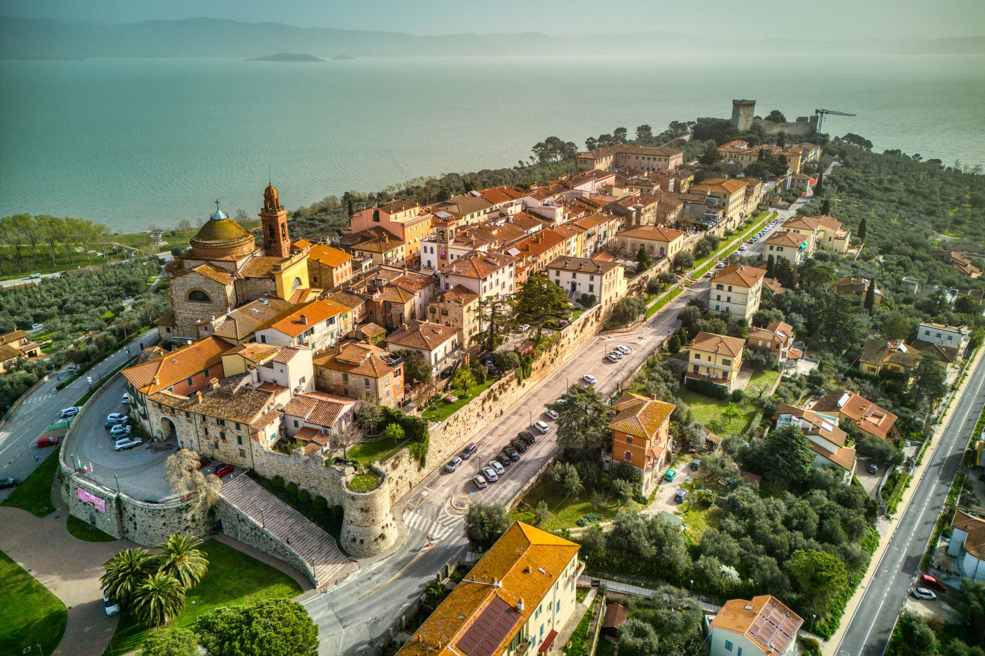
Castiglione del Lago
Province: Perugia · 304 m
Trasimeno's western promontory, once the lake's fourth island, fortified by Federico II in 1247 and frescoed by Pomarancio for the Corgna marquises.
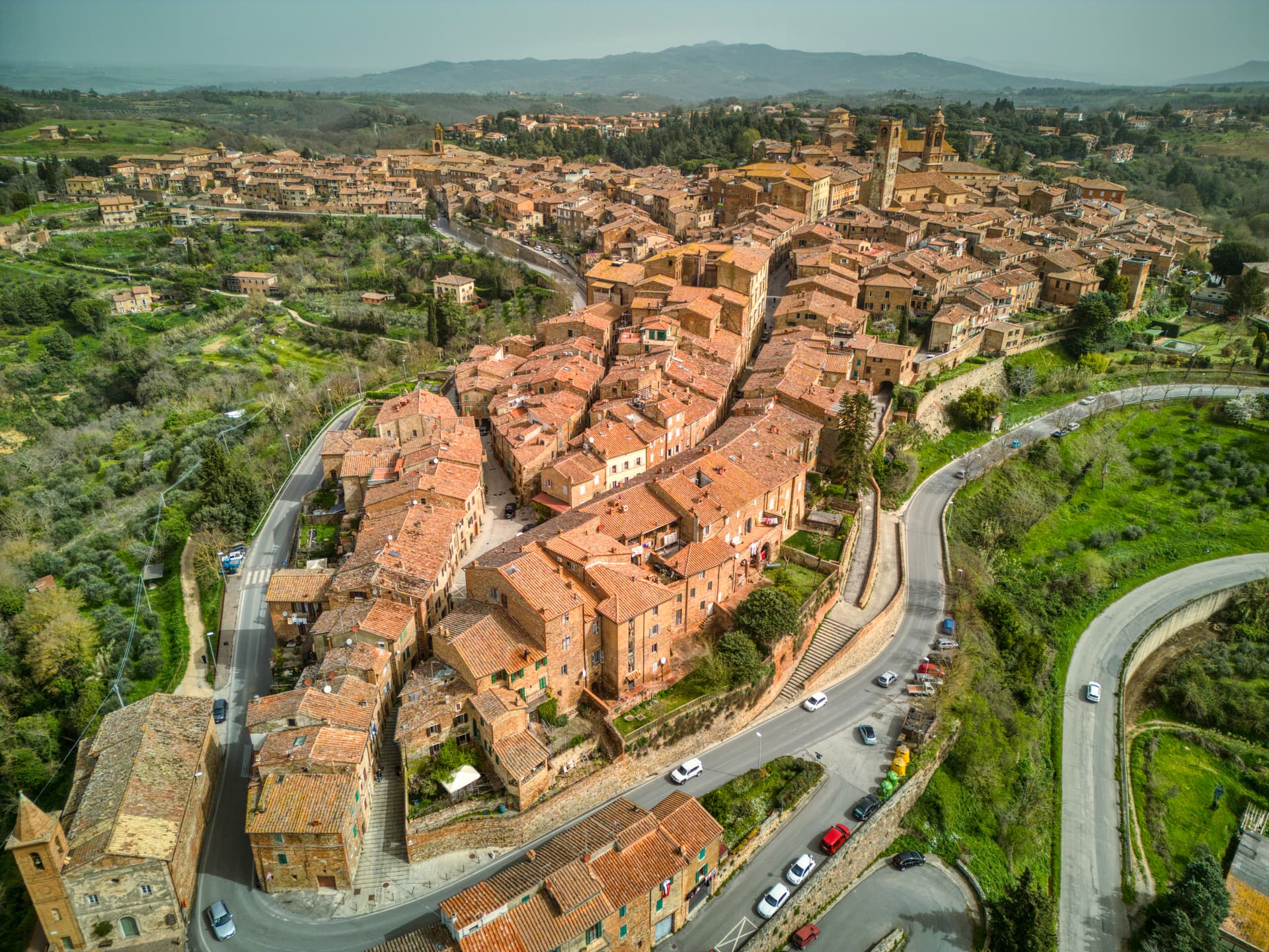
Città della Pieve
Province: Perugia · 508 m
A red-brick hill town at 508 meters above the Valdichiana, the birthplace of Perugino and the home of Italy's narrowest alley.
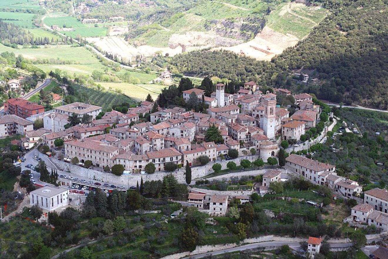
Corciano
Province: Perugia · 408 m
A walled medieval castello at 408 meters eight kilometers west of Perugia, where Saint Francis stopped on his way back from Isola Maggiore in 1223.
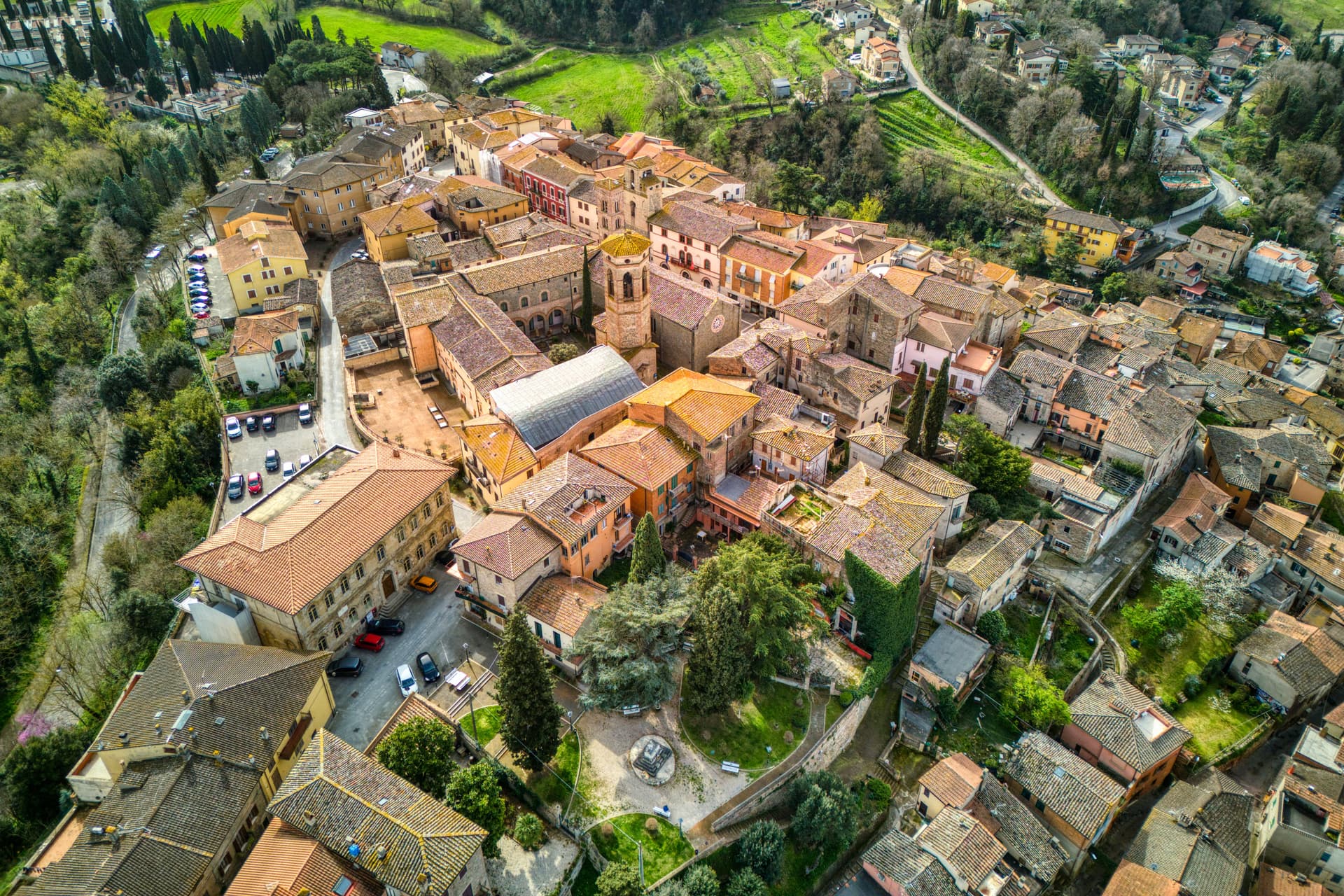
Deruta
Province: Perugia · 218 m
A hill town at 218 meters on the left bank of the Tiber, the maiolica capital of central Italy since the late thirteenth century.
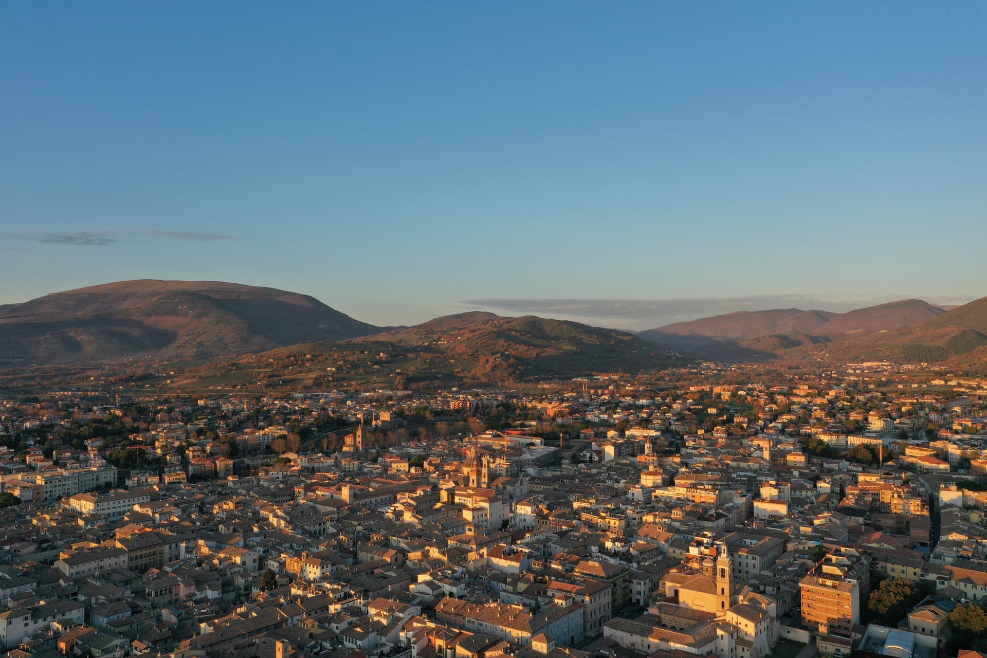
Foligno
Province: Perugia · 235 m
A valley town at 235 meters on the Topino, where Dante's Divine Comedy was first printed in 1472.
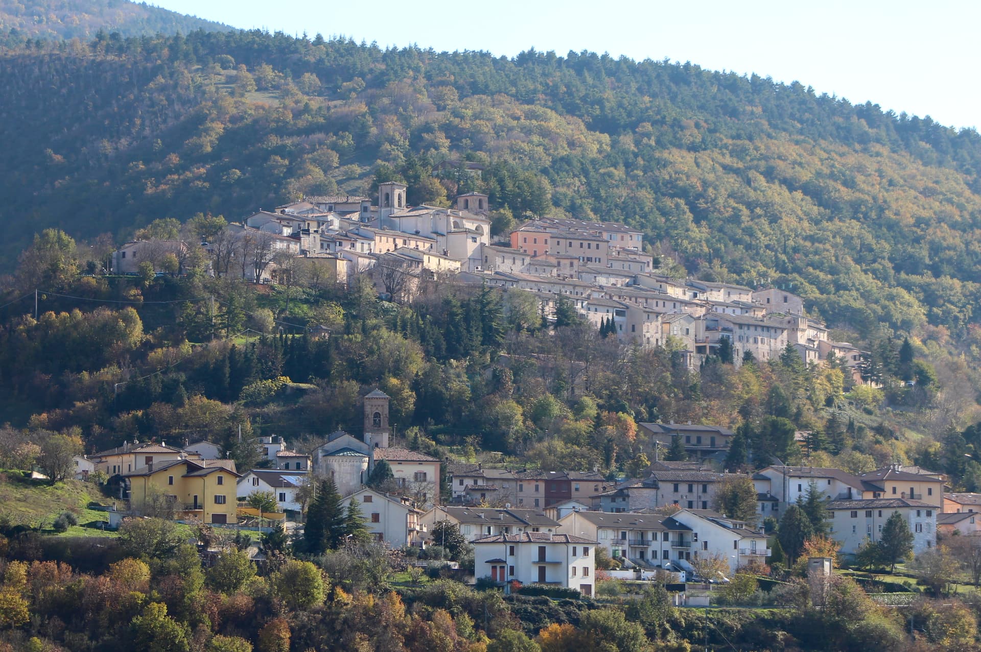
Fossato di Vico
Province: Perugia · 581 m
A medieval village on Mount Mutali at 581 meters, where the Via Flaminia's Roman waystation Hellvillum became a tenth-century castle still threaded by covered alleyways.
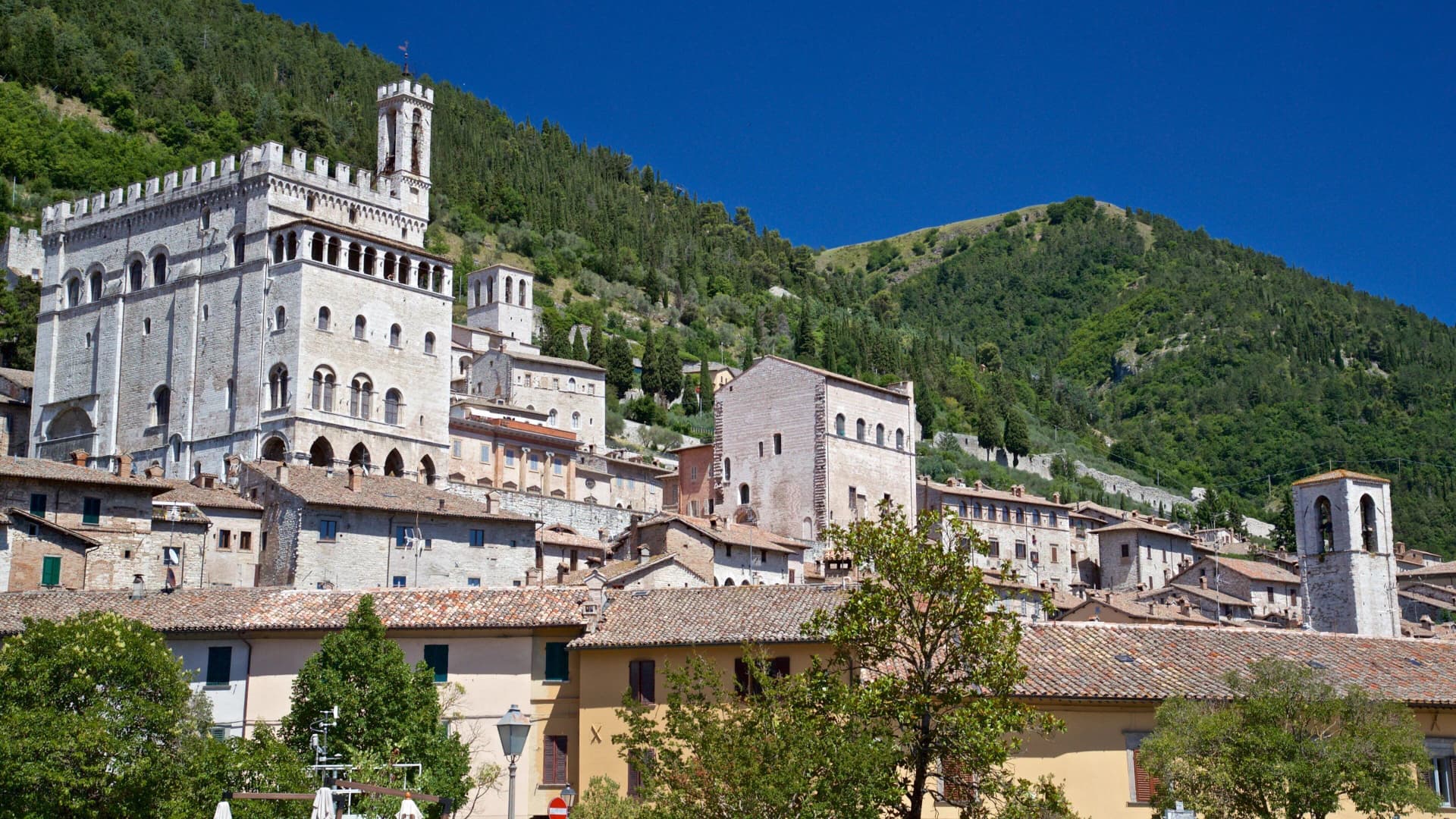
Gubbio
Province: Perugia · 522 m
Pre-Roman Ikuvium of the Umbri at the foot of Monte Ingino, where seven bronze tablets carry the longest text of the Umbrian language.
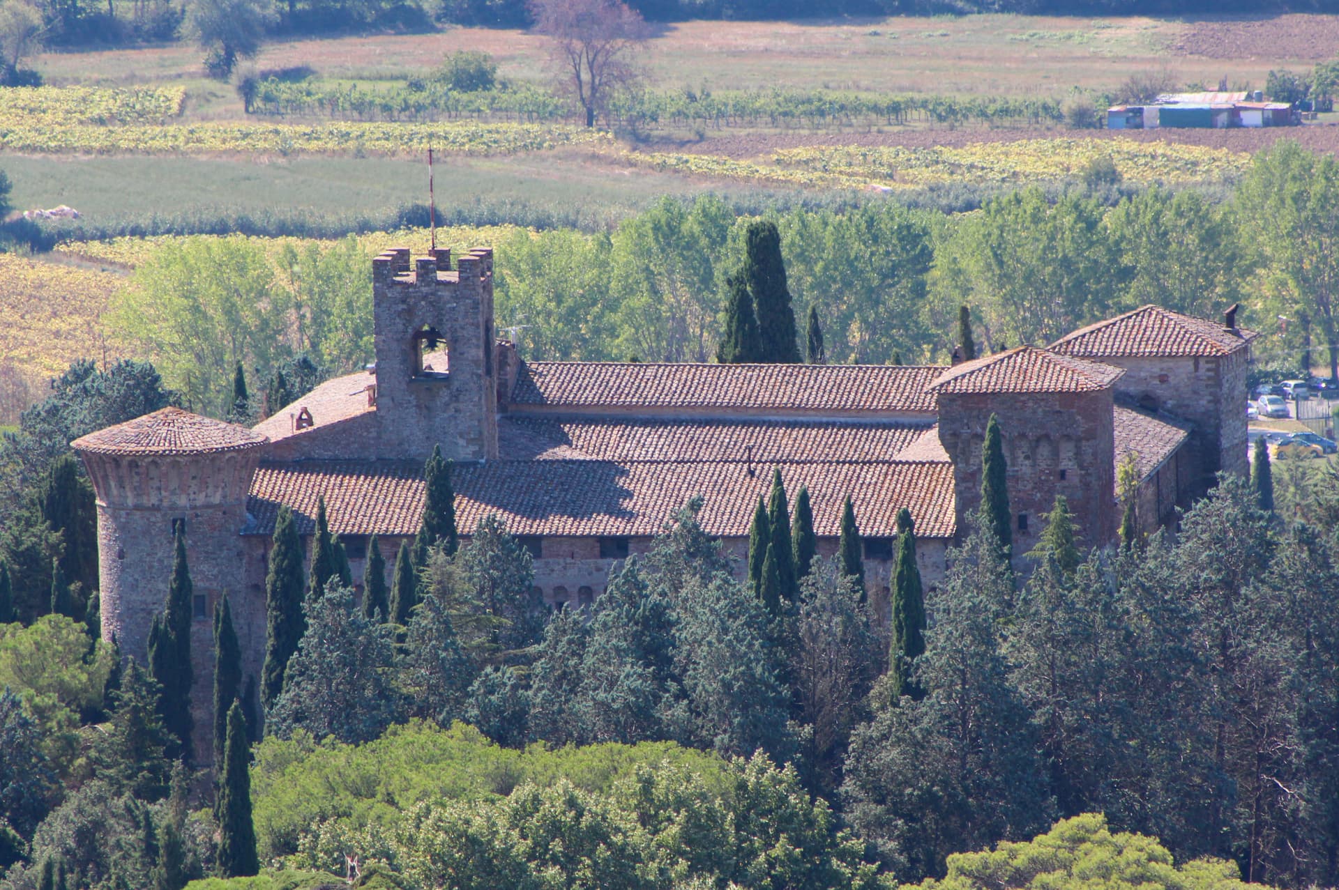
Magione
Province: Perugia · 299 m
A hill town east of Trasimeno where the Knights Hospitaller built their twelfth-century maison and Machiavelli later foiled the Conspiracy of Magione against Cesare Borgia.
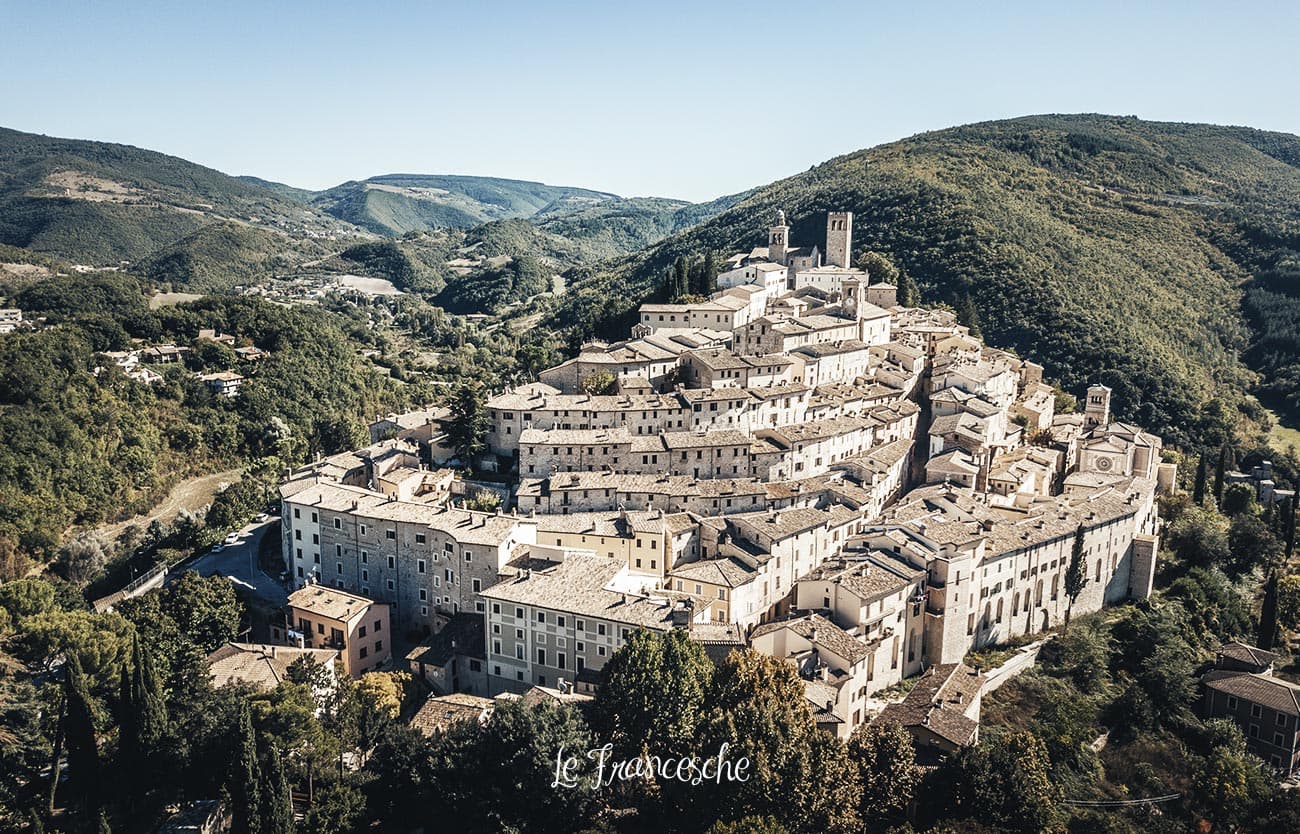
Nocera Umbra
Province: Perugia · 520 m
A hill town at 520 meters on the Apennine slope, leveled by the 1997 earthquake and rebuilt, with mineral springs flowing since the sixteenth century.
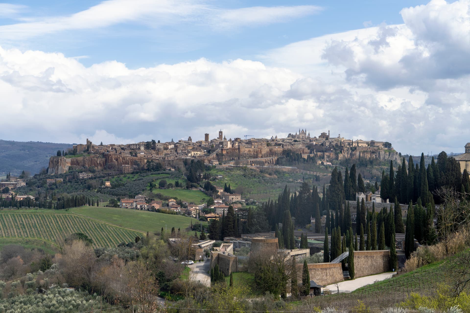
Orvieto
Province: Terni · 325 m
Etruscan Velzna on a 325-meter tufa butte, the medieval refuge of popes and the home of Italy's most decorated Gothic cathedral.
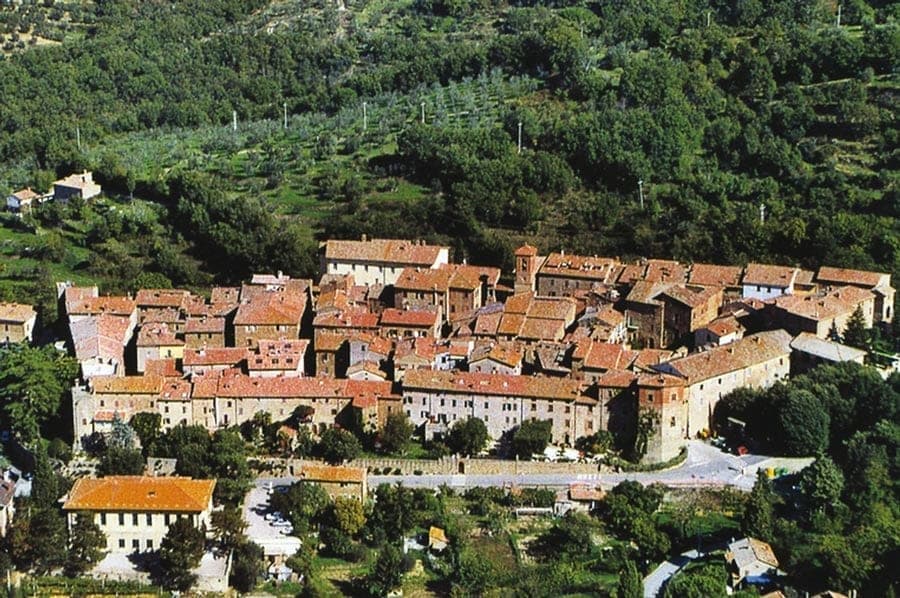
Paciano
Province: Perugia · 391 m
Walled hill town of 957 people at 391 meters above Lake Trasimeno, three parallel streets, eight towers and three medieval gates intact.
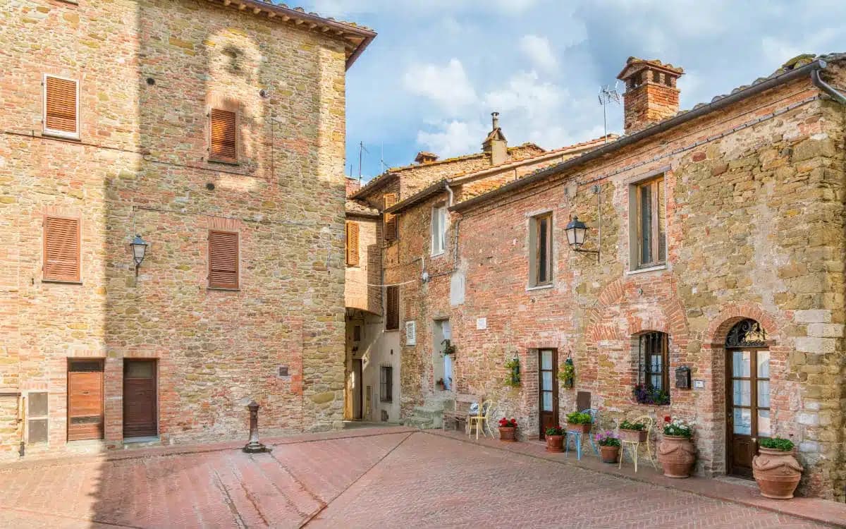
Panicale
Province: Perugia · 431 m
A walled hill town at 431 meters on Monte Petrarvella, where a 1505 Perugino fresco covers the back wall of San Sebastiano.
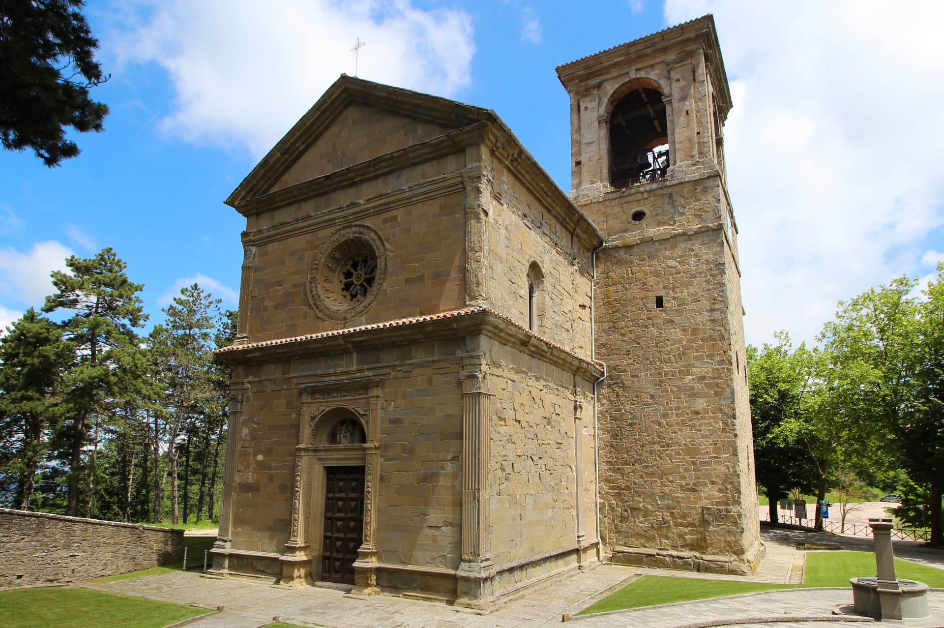
Passignano sul Trasimeno
Province: Perugia · 289 m
A near-peninsula on the northern shore of Lake Trasimeno, on the road Hannibal closed when he ambushed the Romans in 217 BC.
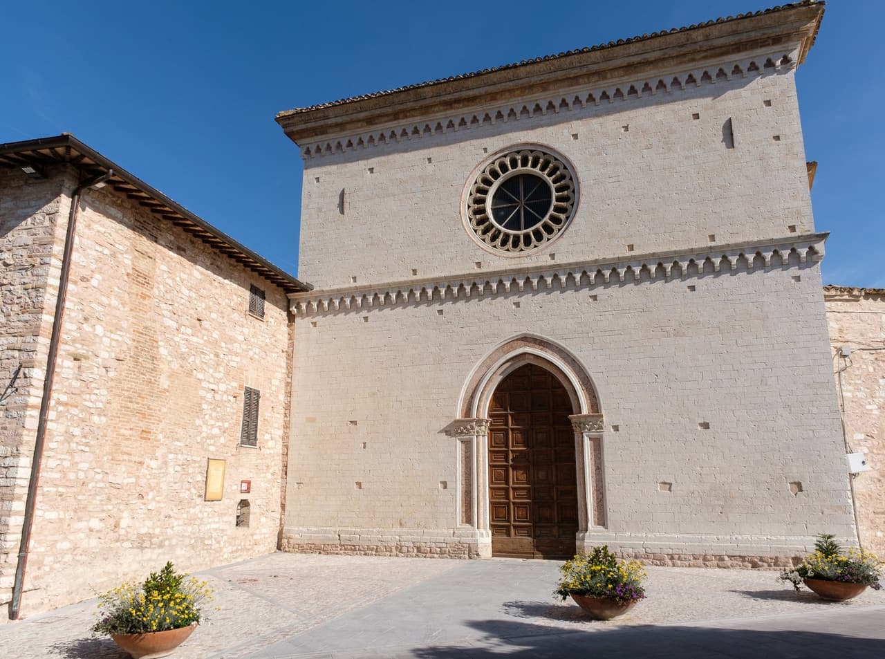
Spello
Province: Perugia · 280 m
Augustan Hispellum at 280 meters on Monte Subasio, where streets carry flower petals each Corpus Domini and Pinturicchio frescoed the Baglioni Chapel in 1501.
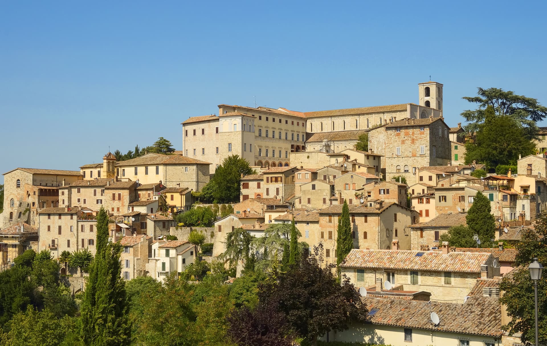
Todi
Province: Perugia · 398 m
A walled hill town at 398 meters on the Tiber, with Etruscan, Roman, and medieval rings stacked up Colle Nidoli.
Veneto7
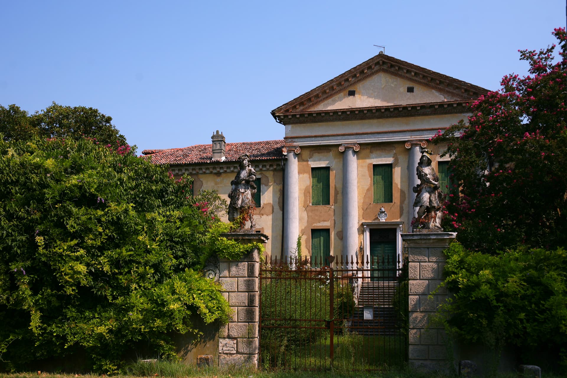
Abano Terme
Province: Padova · 14 m
Europe's oldest thermal town on the Euganean Hills' eastern slope, where 80°C bromo-iodine springs have been drawing bathers since the eighth century BC.
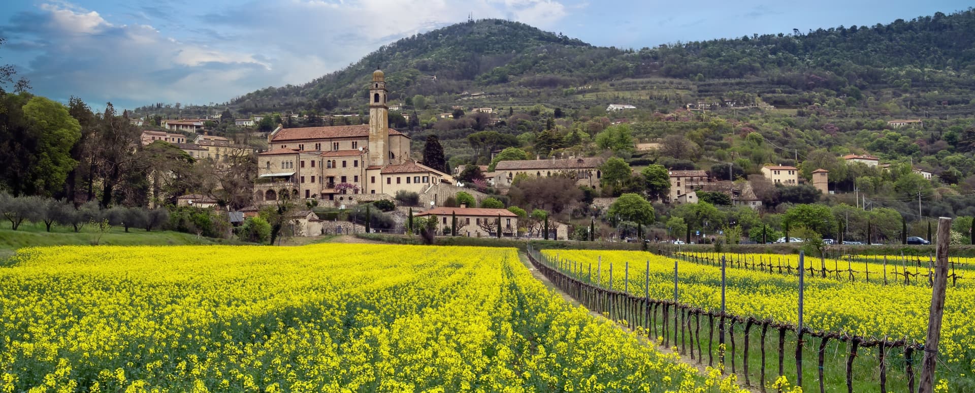
Arquà Petrarca
Province: Padova · 56 m
The Euganean Hills village where Francesco Petrarca spent his last four years and died in 1374, renamed in his honor in 1868.
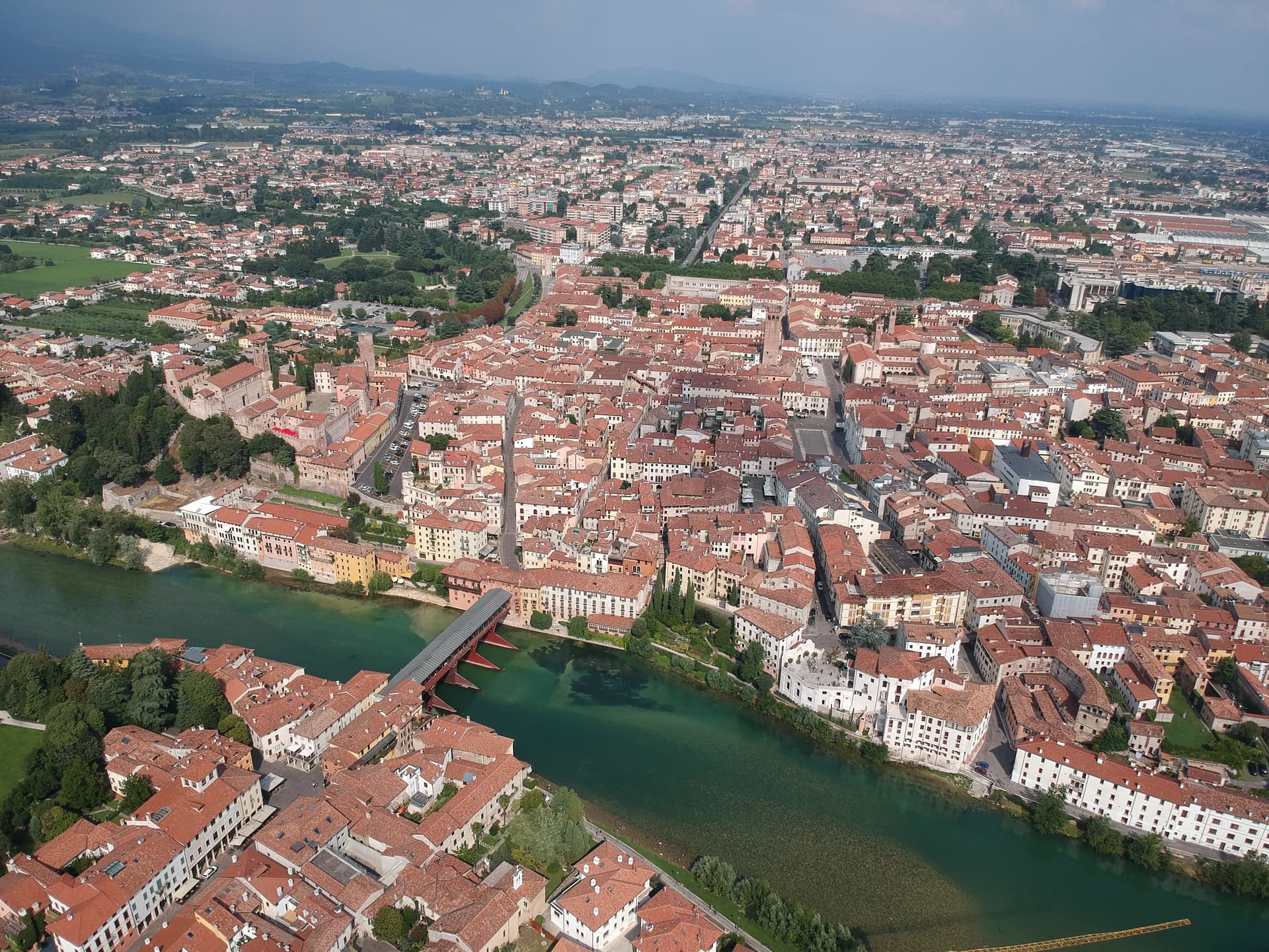
Bassano del Grappa
Province: Vicenza · 129 m
The Brenta River town at 129 meters where Palladio drew the covered bridge in 1569 and Nardini has been distilling grappa since 1779.
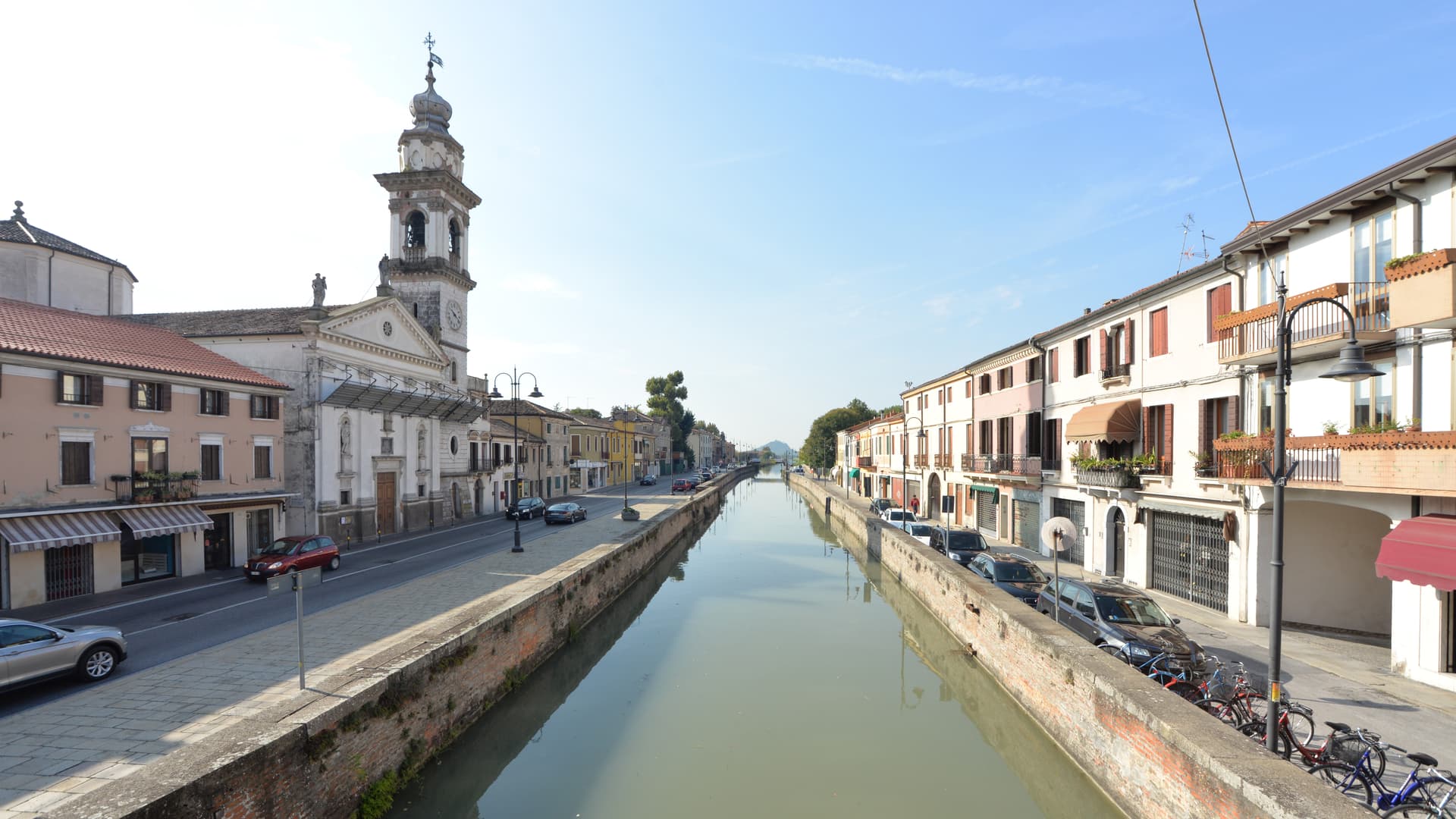
Battaglia Terme
Province: Padova · 9 m
A barge village at the foot of the Euganean Hills, built around the 1201 canal and Italy's only river navigation museum.
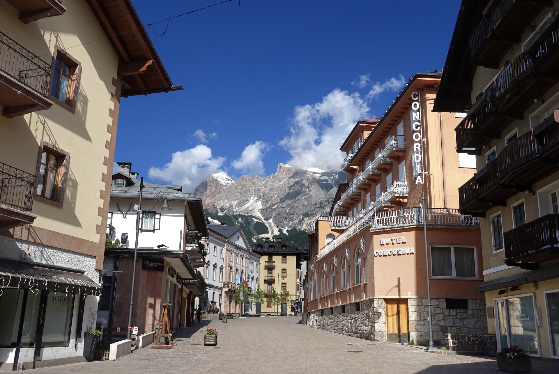
Cortina d'Ampezzo
Province: Belluno · 1,224 m
The Queen of the Dolomites at 1,224 meters, host of the 1956 Winter Olympics and co-host of Milano-Cortina 2026.
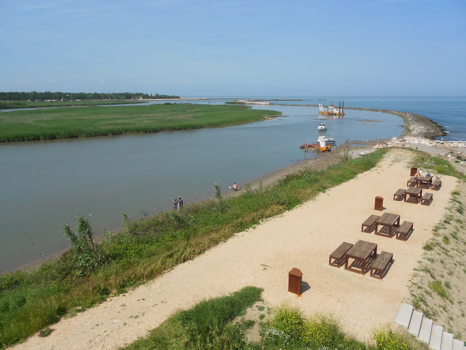
Rosolina
Province: Rovigo · 3 m
A reclaimed Po Delta commune where a nine-kilometer beach and a maritime pine forest sit between the Adige mouth and the Adriatic.
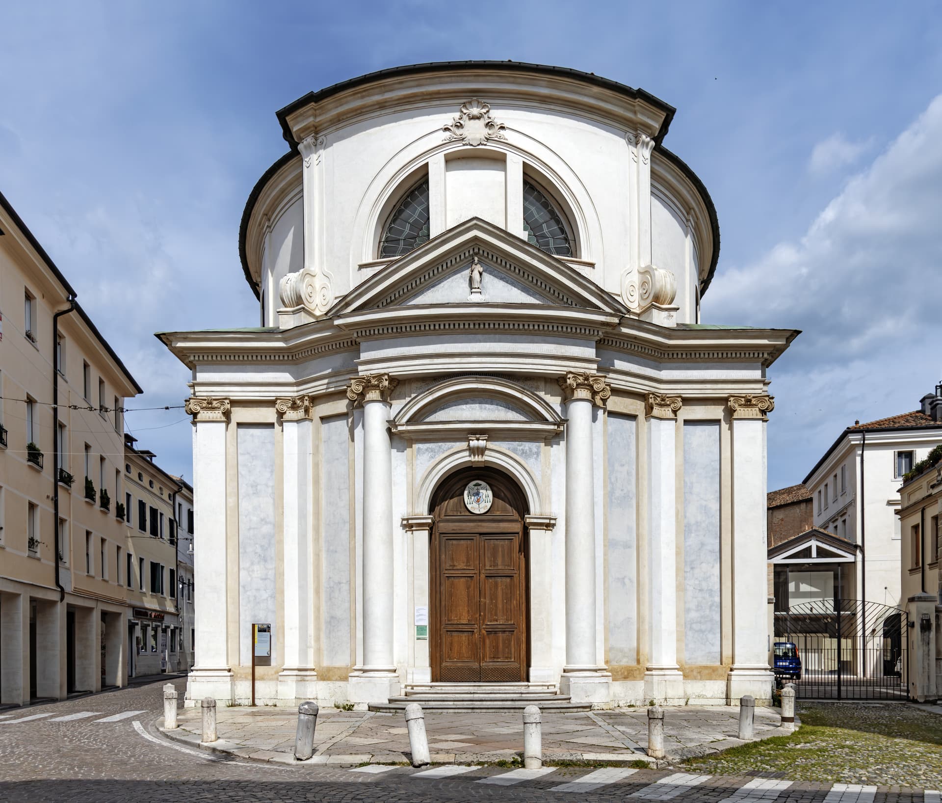
Treviso
Province: Treviso · 15 m
The walled provincial capital at 15 meters between the Sile and Botteniga rivers, Venice's first mainland conquest in 1339 and the birthplace of tiramisu.
Subscribe — free
Get the best guides on hidden Italian towns.
One letter on Sundays. The week’s town, with the photo, the food, the festa. Free, by Peter & Sophia from Pietrasanta.
Substack sends a confirmation link to your inbox. The signup finishes when it’s clicked.
From elsewhere in Italy
Five more towns to discover
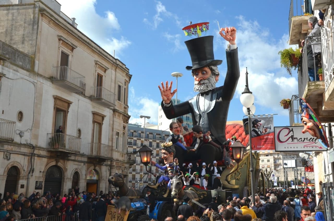
Putignano
Province: Bari
Europe's longest-running carnival — Putignano Carnevale has run continuously since 1394, with 631 years of cartapesta papier-mâché floats, a 26,000-resident Murgia town on the Bari–Lecce plateau, and the Grotta del Trullo karst cave inside the centro.

Pistoia
Province: Pistoia
Italy's nursery capital and the medieval Tuscan rival that gave its name to the pistol — a quietly extraordinary centro storico of zebra-striped Romanesque churches, Andrea della Robbia's polychrome frieze on the Ospedale del Ceppo, and Italy's Capital of Culture 2017, all 30 minutes from Florence by train.
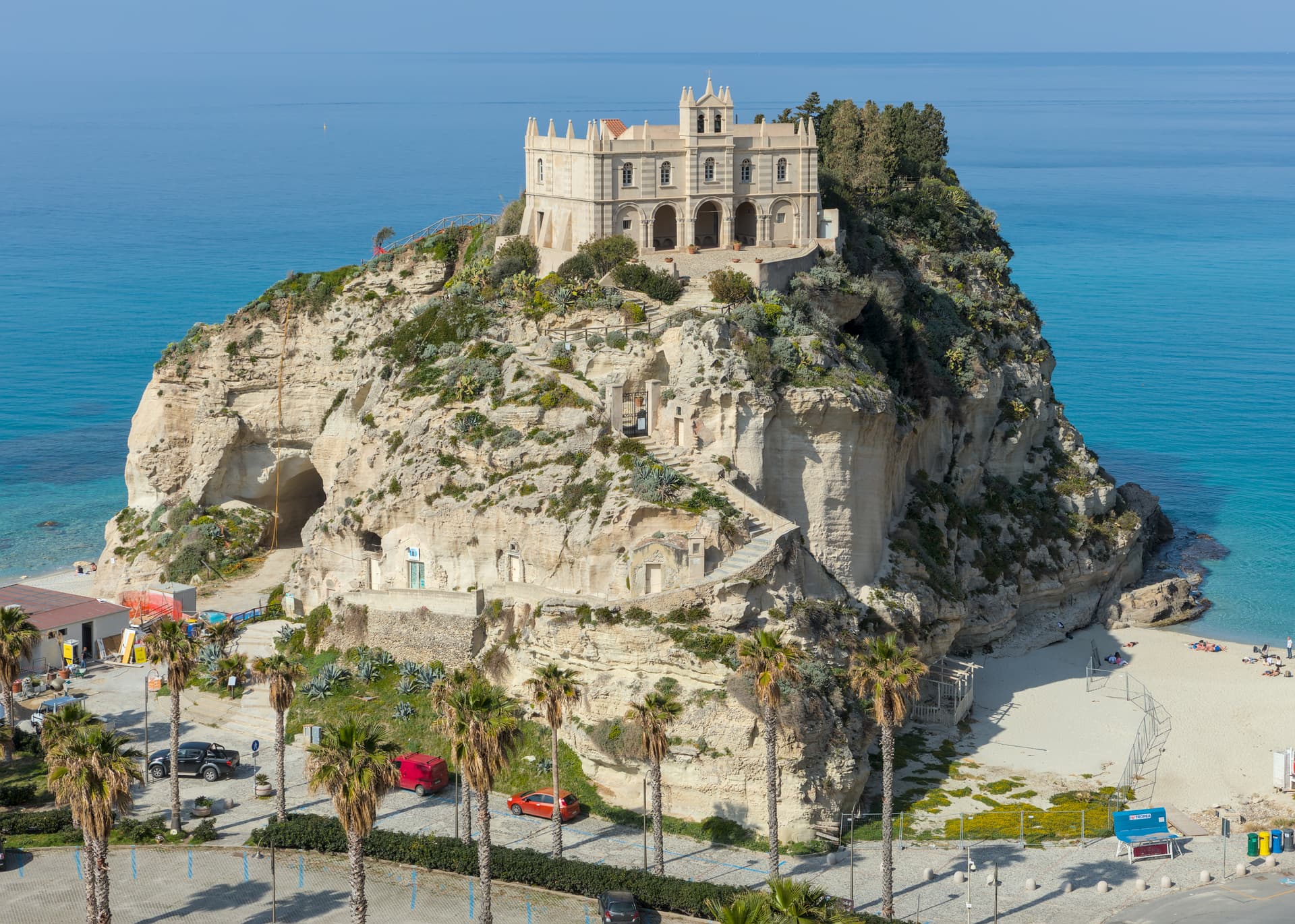
Tropea
Province: Vibo Valentia
Cliff town on a tufa headland over the Tyrrhenian Coast of the Gods, with a Norman monastery on a sea rock.
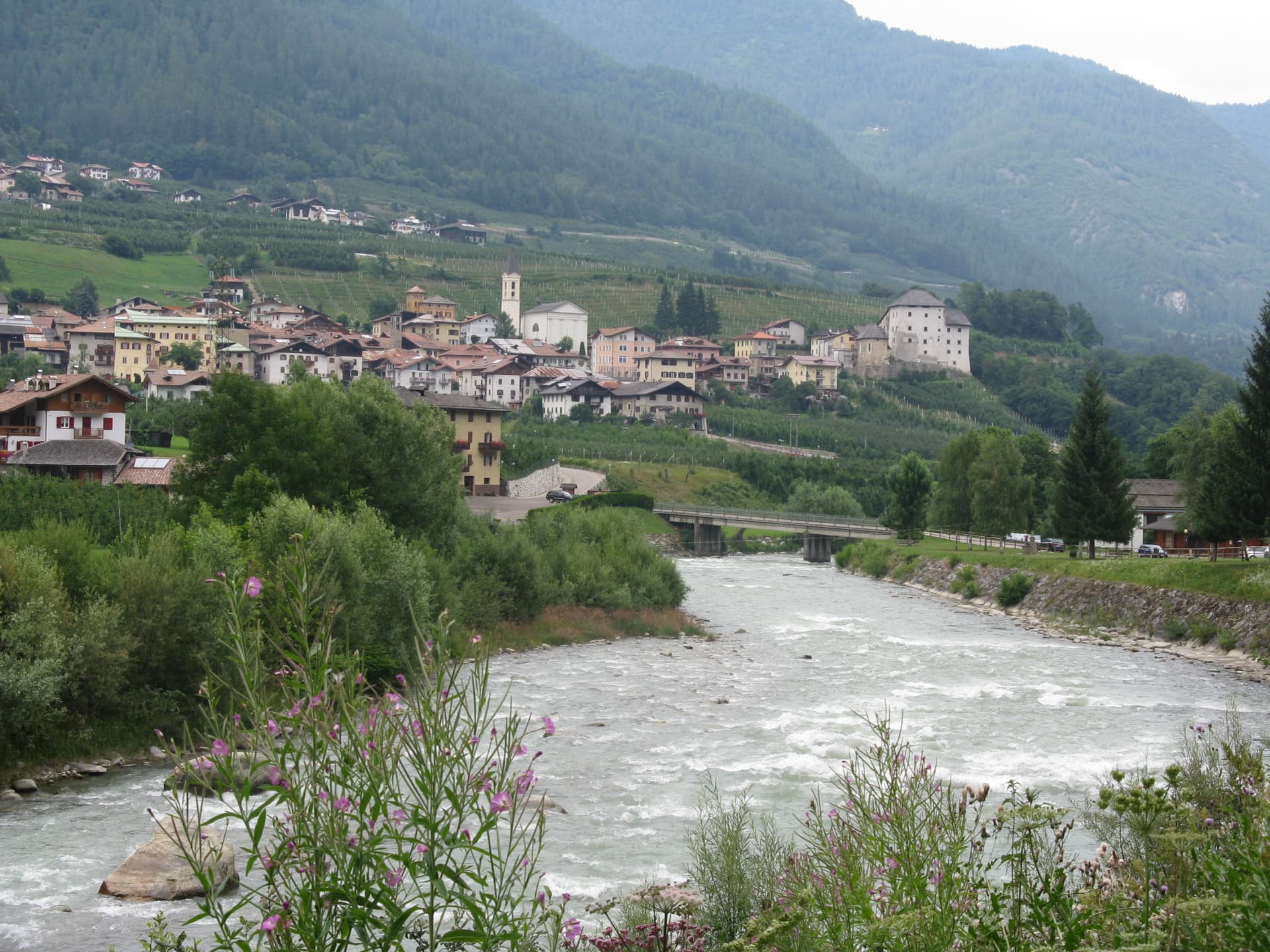
Caldes
Province: Trento
A scattered Val di Sole commune on the Noce, six hamlets gathered around a thirteenth-century tower-house castle that once belonged to the Thun family.
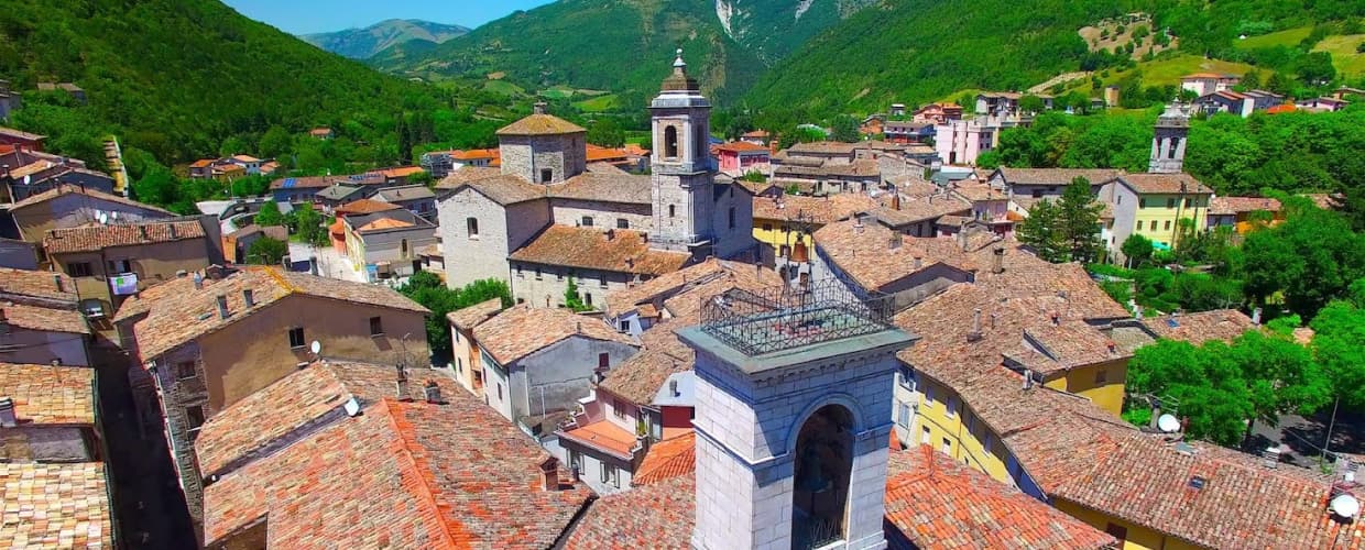
Cantiano
Province: Pesaro e Urbino
A border borgo at 374 meters under Monte Catria on the old Via Flaminia, known for the Good Friday Turba and the sour-cherry visciola harvest.