
Campania · Caserta
Sessa Aurunca
Ancient Suessa Aurunca on the south slope of an extinct volcano, with a Romanesque cathedral of Cosmatesque mosaics built in 1103.
Known for
ROMANESQUE CATHEDRAL
Built 1103-1113 with twelve antique columns, Cosmatesque ambon and Easter candelabrum, one of the major Romanesque cathedrals in Campania.
ROMAN THEATER
First-century theater on the slope below the cathedral, one of the largest in southern Italy, restored after 2000 excavations.
AURUNCI OLIVE OIL
Terre Aurunche DOP olive groves on the volcanic slopes of Roccamonfina; the commune is part of the Città dell'Olio network.
When to visit
Best · Apr–Oct
- J
- F
- M
- A
- M
- J
- J
- A
- S
- O
- N
- D
- Best
- Hot or crowded
- Quiet
- Mostly closed
The festa: papa Leone IX, 8 May
Why come
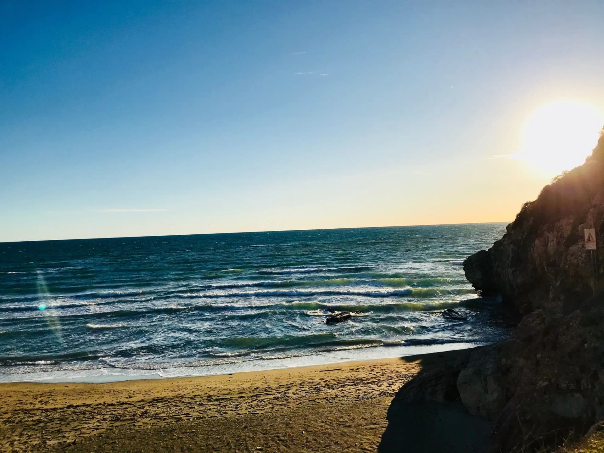
Sessa Aurunca sits on the southwest slope of the extinct volcano Roccamonfina, between the Garigliano river and the Aurunci hills, forty kilometers west-northwest of Caserta. The Aurunci, the Italic people who held this land before Rome, gave the town its name; the Latin colony of Suessa Aurunca was founded here in 313 BC on the road between Capua and Rome. The Roman theater on the slope below the cathedral is one of the largest in southern Italy, with stage decoration found in the 2000s excavations now on display in the Castello Ducale.
The Cattedrale dei Santi Pietro e Paolo was built in 1103 over an Augustan-era temple, with twelve antique columns in the nave, an ambon and Easter candelabrum covered in Cosmatesque marble inlay, and a Byzantine-influenced apse. The commune is Città dell'Olio for the Aurunci olive groves, Città del Tartufo for the truffles of the Roccamonfina foothills, and lies on the Via Francigena del Sud between Rome and Brindisi.
The Sunday letter
We haven’t written Sessa Aurunca’s letter yet.
One town every Sunday, with the photo, the food, the festa. Be there when this one comes up. Free, by Peter & Sophia from Pietrasanta.
By subscribing you agree to Substack’s Terms of Use, our Privacy Policy and our Information collection notice.


What to see
Cattedrale dei Santi Pietro e Paolo
Romanesque cathedral consecrated in 1113 with twelve antique columns, a Cosmatesque ambon and paschal candelabrum, and a Byzantine apse.
Teatro Romano di Sessa Aurunca
First-century Roman theater on the slope below the cathedral, one of the largest in southern Italy, with sculpted stage decoration recovered after 2000.
Castello Ducale
Medieval fortress rebuilt by the Lombards, the Normans and the Aragonese, now housing the civic museum with Roman finds from the theater.
Ponte degli Aurunci
Roman aqueduct bridge below the town, 22 arches, built in the late first century BC to carry water across the Rio dei Travati valley.
Vulcano di Roccamonfina
Extinct volcano north of the town, with the Caldera trail through chestnut and oak forest used by truffle hunters in the Roccamonfina park.
The slow-trip planner
Building a trip? Find where Sessa Aurunca fits in a slow Italy circuit.
Answer five questions. We will shape a geographically coherent slow trip from the 1,000 Italian towns most travelers skip. Yours to save and share.
Living here
- Population 20,209
- In-betweeni
- Pharmacy in town
- High school within a 30-minute drive
- Train station in the comune
- Nearest airport Naples / Salerno, 1 h 8 min drive
- Regional capital Napoli, 1 h 12 min drive
Tags & datadesignations · numbers · sources
The numbers
- Elevation: 203 m
- Population: 20,209
- Surface area: 162.18 km²
These figures were compiled from public directories — ISTAT, OpenStreetMap, Wikidata — and from the official listings of the guides named on this page. Town details change; verify with official sources before you travel.
Close by
More towns near Sessa Aurunca
Minturno
Province: Latina
A coastal comune at the mouth of the Garigliano, built on the Roman colony of Minturnae, five-time Bandiera Blu through Scauri and Marina.
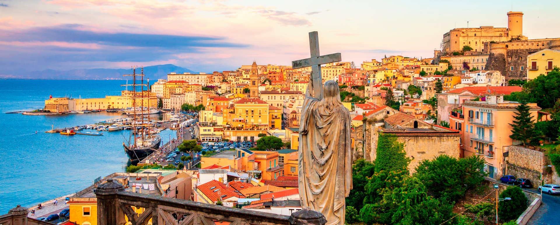
Gaeta
Province: Latina
The promontory port where the Bourbon Kingdom of the Two Sicilies fell in February 1861 and the south of Italy stopped existing as a state.
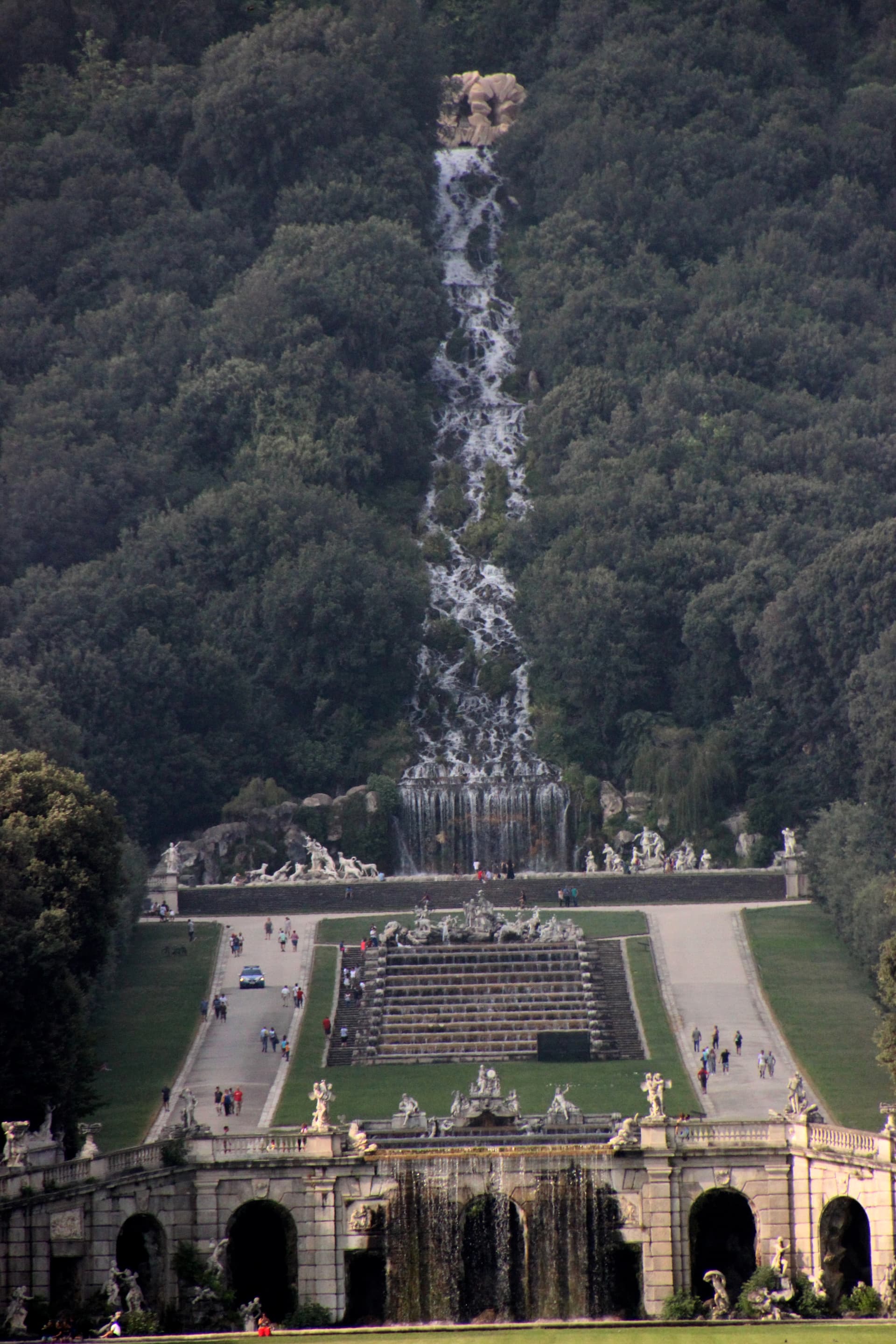
Caserta
Province: Caserta
Italy's answer to Versailles, built by the Bourbons on the Campanian plain with 1,200 rooms and a three-kilometer water axis.
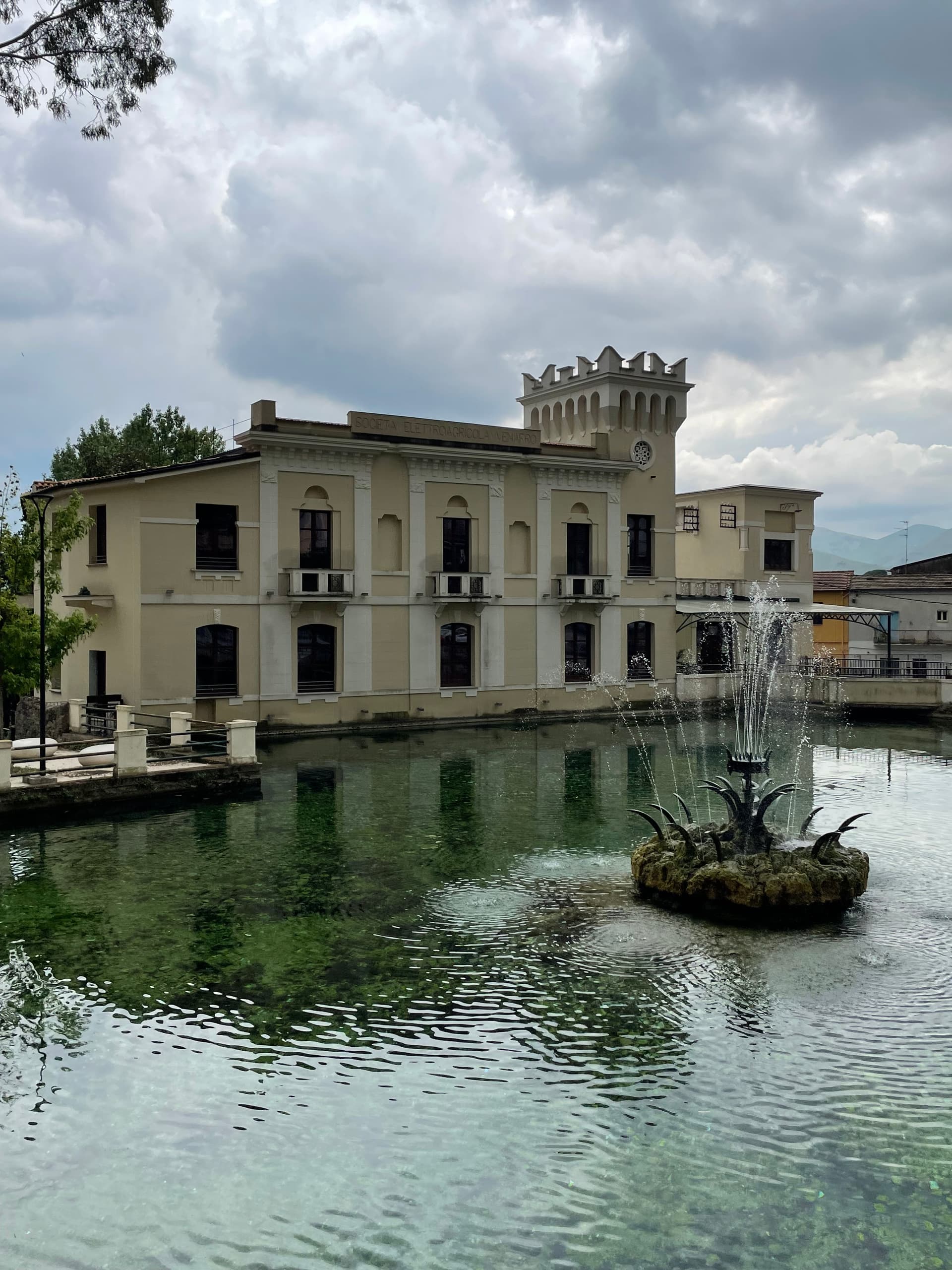
Venafro
Province: Isernia
A 222-meter town near the Lazio border where Augustus founded a colony and Pliny called the olive oil the best in the Roman Empire.
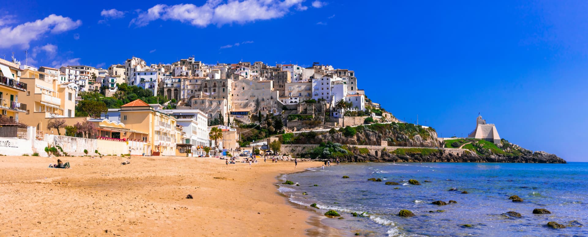
Sperlonga
Province: Latina
A whitewashed cliff town on Monte San Magno halfway between Rome and Naples, built above the sea grotto where Tiberius staged the Odyssey in marble.
🌳 Parco Regionale
More Parco Regionale towns in Campania
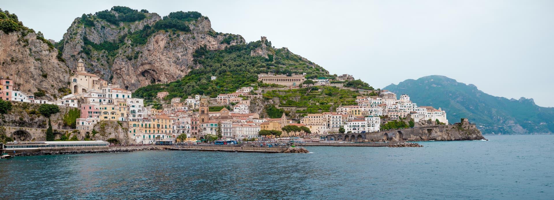
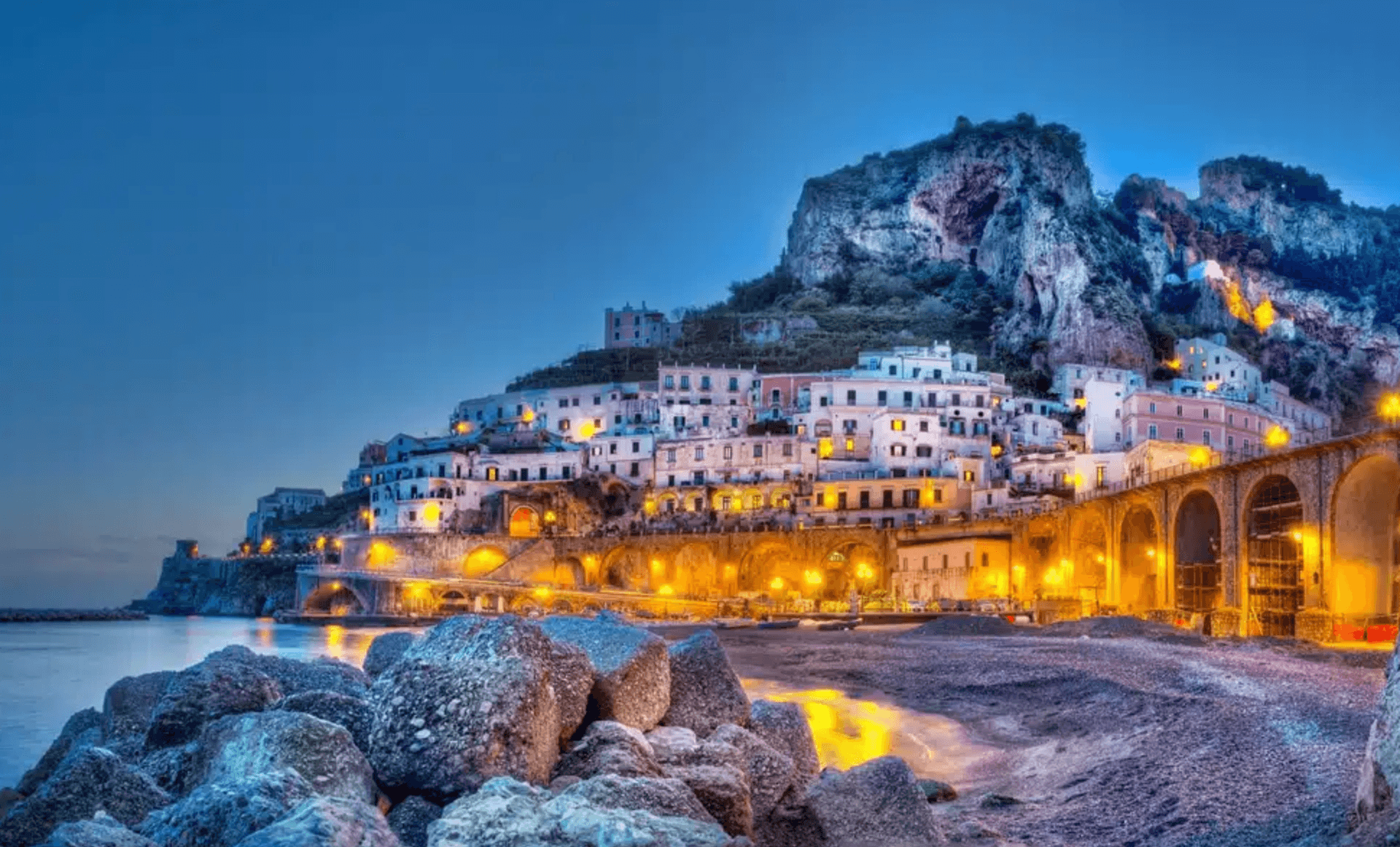
Amalfi
Province: Salerno
The first Italian maritime republic and the coast it named, six meters above the sea between cliffs that close around the duomo's steps.
Atrani
Province: Salerno
The smallest commune in Italy by area, twelve hectares of stacked houses where the Amalfi Coast pinches shut around a single piazza.
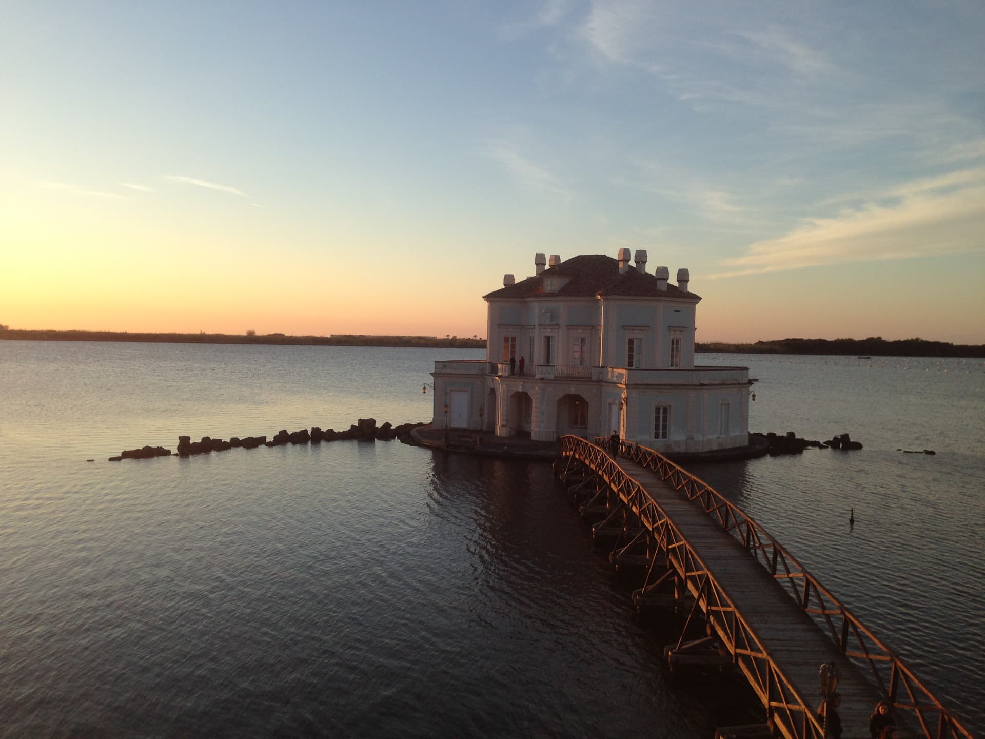
Bacoli
Province: Napoli
A Campi Flegrei town twenty kilometers west of Napoli, the Roman Bauli, where the Piscina Mirabilis fed the imperial fleet at Miseno.
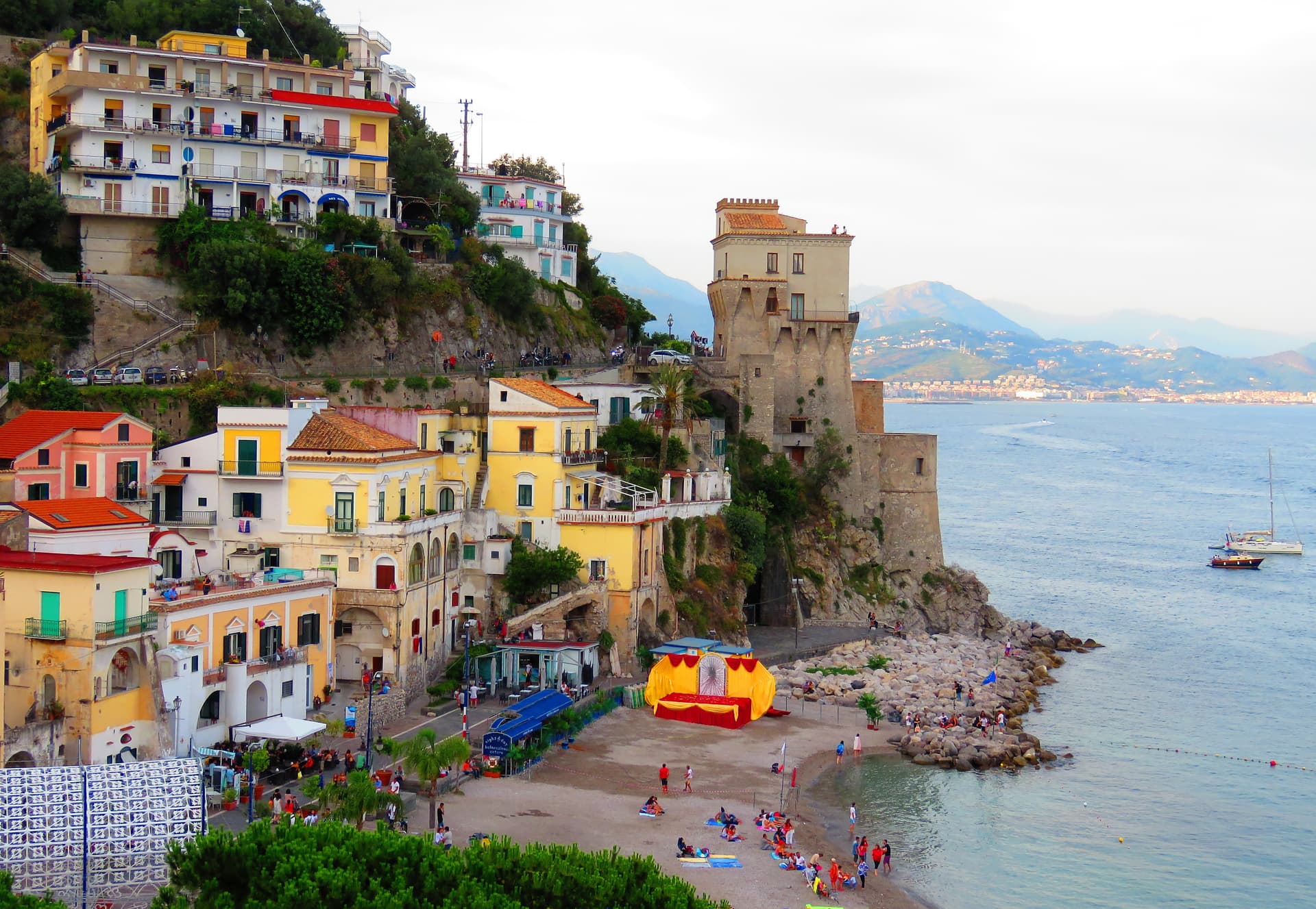
Cetara
Province: Salerno
The Amalfi Coast's working tuna and anchovy port, where colatura di alici is still aged in chestnut barrels in the cellars behind the marina.
Conca dei Marini
Province: Salerno
A coastal hamlet of 664 people on the Amalfi Coast, the birthplace of the sfogliatella Santa Rosa and home to the Emerald Grotto.