

Campania · Salerno
Maiori
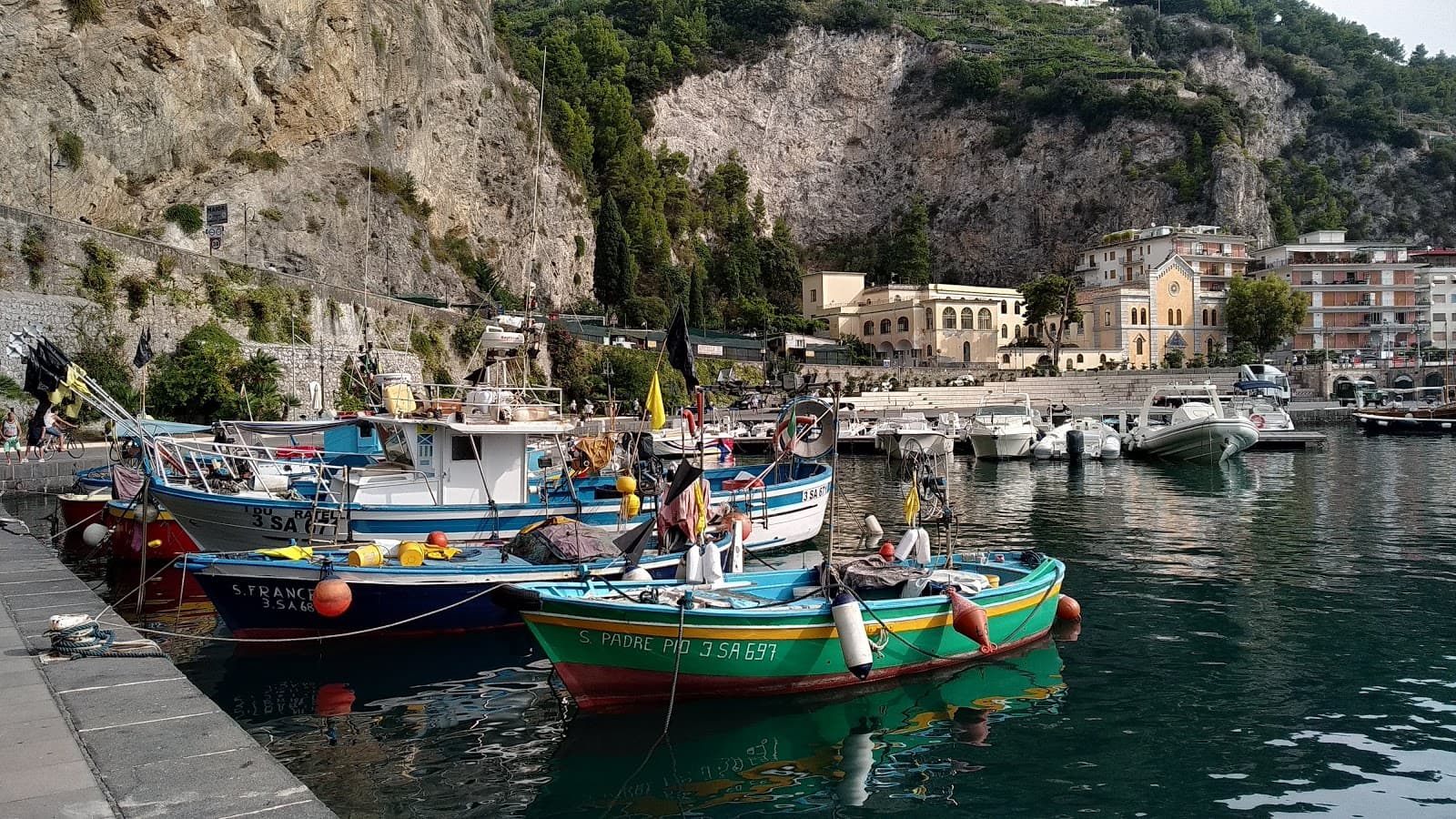
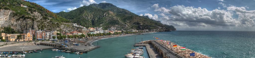
The Amalfi Coast town with the longest beach and a grid street plan, rebuilt after the 1954 flood took the medieval lanes.
Known for
AMALFI LEMONS
Centre of the Sfusato Amalfitano IGP lemon, terraced up the Reginna valley; the Sentiero dei Limoni runs to Minori through the orchards.
1954 FLOOD
Reginna torrent burst the medieval town into the sea on 26 October 1954; rebuilt grid plan, palm seafront, longest beach on the coast.
ROSSELLINI
Roberto Rossellini filmed Paisà, Voyage in Italy and Il Miracolo here in 1946-53, using the postwar town as backdrop.
When to visit
Best · May–Sep
- J
- F
- M
- A
- M
- J
- J
- A
- S
- O
- N
- D
- Best
- Hot or crowded
- Quiet
- Mostly closed
Why come
Maiori sits at the mouth of the Reginna torrent between Minori and Cetara, the widest valley on the Amalfi Coast and the only flat ground on the strip. A wall of medieval houses rose up the gorge until the night of 26 October 1954, when a freak storm dropped 500 millimeters of rain on the Lattari ridge in twelve hours. The torrent swept the centro storico, the lemon terraces and several streets into the sea, killing over 80 people.
The town was rebuilt with a rare straight grid behind a kilometer-long beach of volcanic sand, the longest on the coast. The Castello di San Nicola de Thoro-Plano sits on the ridge above, 11th-century walls part-ruined since the Anjou siege. The Collegiata di Santa Maria a Mare, 13th-century with a green and yellow majolica dome, survived the flood and looks out from the hill. Roberto Rossellini shot Paisà, Voyage in Italy and Il Miracolo here in the late 1940s.
The Sunday letter
We haven’t written Maiori’s letter yet.
One town every Sunday, with the photo, the food, the festa. Be there when this one comes up. Free, by Peter & Sophia from Pietrasanta.
By subscribing you agree to Substack’s Terms of Use, our Privacy Policy and our Information collection notice.
What to see
Collegiata di Santa Maria a Mare
Thirteenth-century parish church on the hill, three-aisle neoclassical interior with gilded coffered ceiling and green-and-yellow majolica dome.
Castello di San Nicola de Thoro-Plano
Eleventh-century fortress in partial ruin on the ridge above town, with views over the Reginna valley and the coast east to Capo d'Orso.
Spiaggia di Maiori
Kilometer-long beach of volcanic sand, the longest on the Amalfi Coast, replanted with palms behind the seawall after the 1954 flood.
Sentiero dei Limoni
Mule track between Maiori and Minori through IGP lemon terraces, starting at Piazza Milo by the Collegiata, about 90 minutes one way.
Abbazia di Santa Maria de Olearia
Tenth-century basilian rock abbey 2 km east toward Capo d'Orso, three superimposed chapels carved into the cliff.
The slow-trip planner
Building a trip? Find where Maiori fits in a slow Italy circuit.
Answer five questions. We will shape a geographically coherent slow trip from the 1,000 Italian towns most travelers skip. Yours to save and share.
Living here
- Population 5,359
- In-betweeni
- Pharmacy in town
- High school within a 30-minute drive
- Nearest airport Naples / Salerno, 1 h 6 min drive
- Regional capital Napoli, 1 h 0 min drive
Tags & datadesignations · numbers · sources
Recognised as
The numbers
- Elevation: 5 m
- Population: 5,359
- Surface area: 16.67 km²
These figures were compiled from public directories — ISTAT, OpenStreetMap, Wikidata — and from the official listings of the guides named on this page. Town details change; verify with official sources before you travel.
Close by
More towns near Maiori
Minori
Province: Salerno
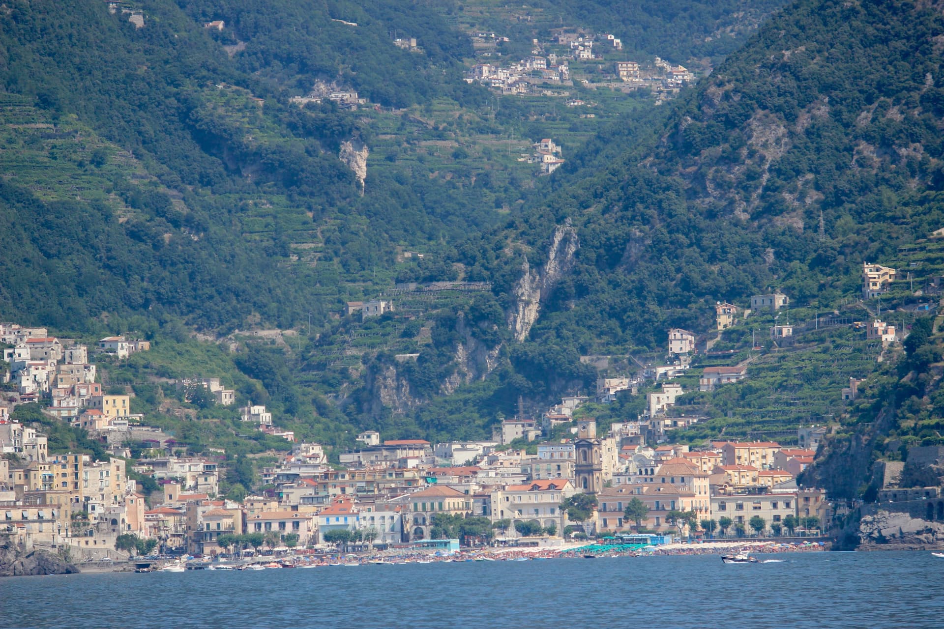
The smaller of the two Rheginnae, where a first-century Roman maritime villa sits four blocks from the Tyrrhenian beach.
Atrani
Province: Salerno
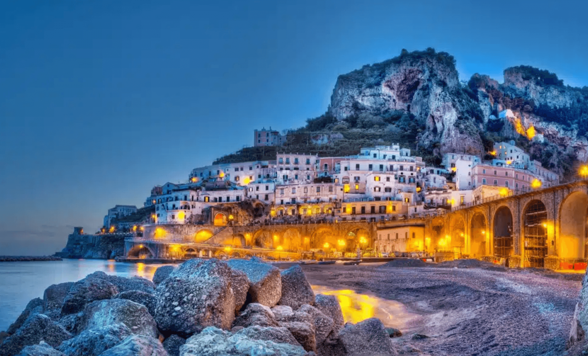
The smallest commune in Italy by area, twelve hectares of stacked houses where the Amalfi Coast pinches shut around a single piazza.
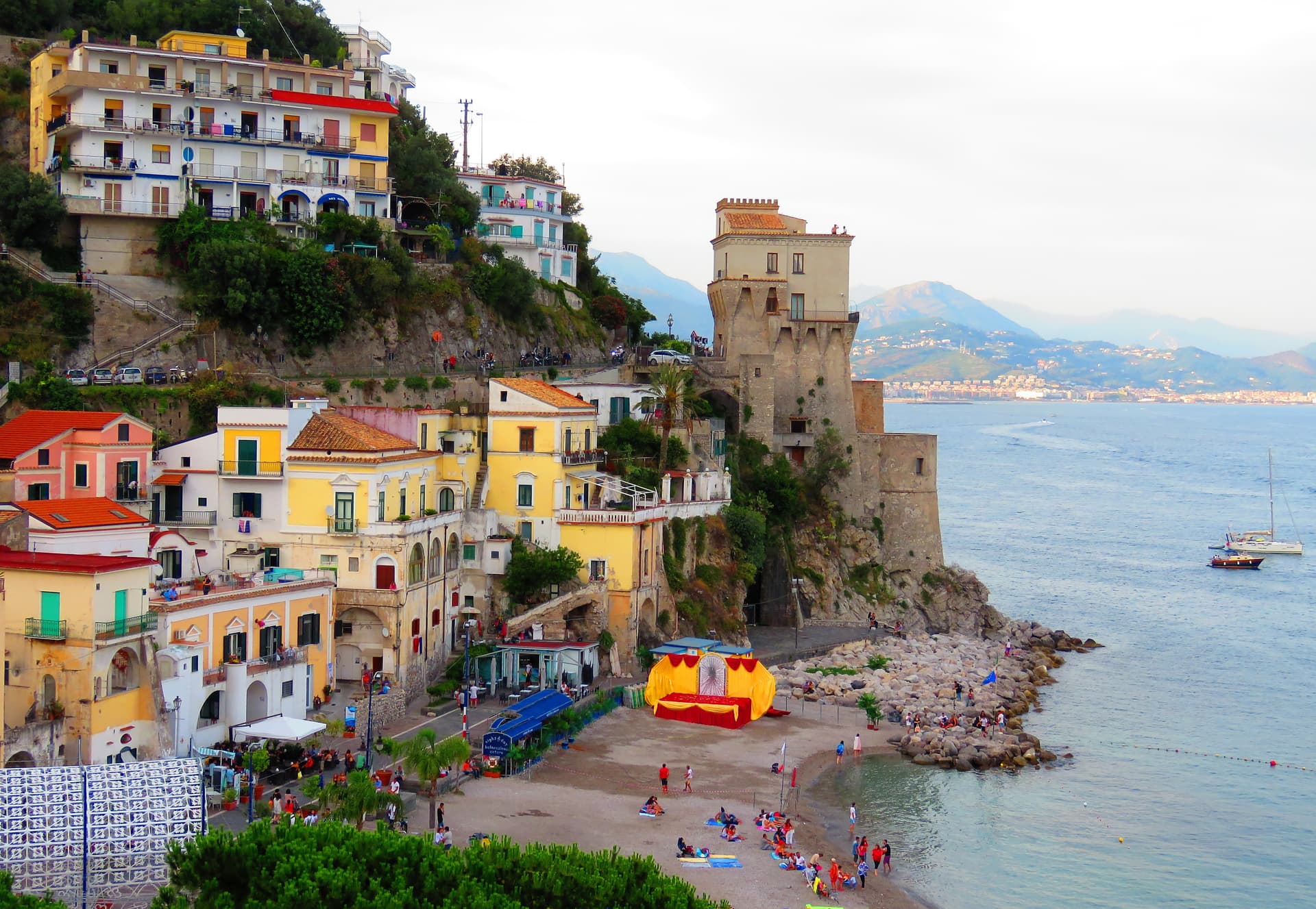
Cetara
Province: Salerno
The Amalfi Coast's working tuna and anchovy port, where colatura di alici is still aged in chestnut barrels in the cellars behind the marina.
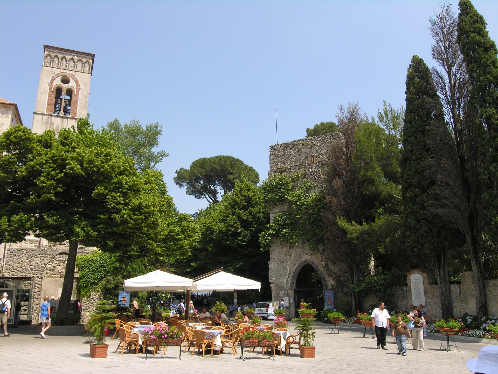
Ravello
Province: Salerno
A ridge town 365 meters above the sea, where Wagner found Klingsor's garden in 1880 and the Ravello Festival has played his music since 1953.
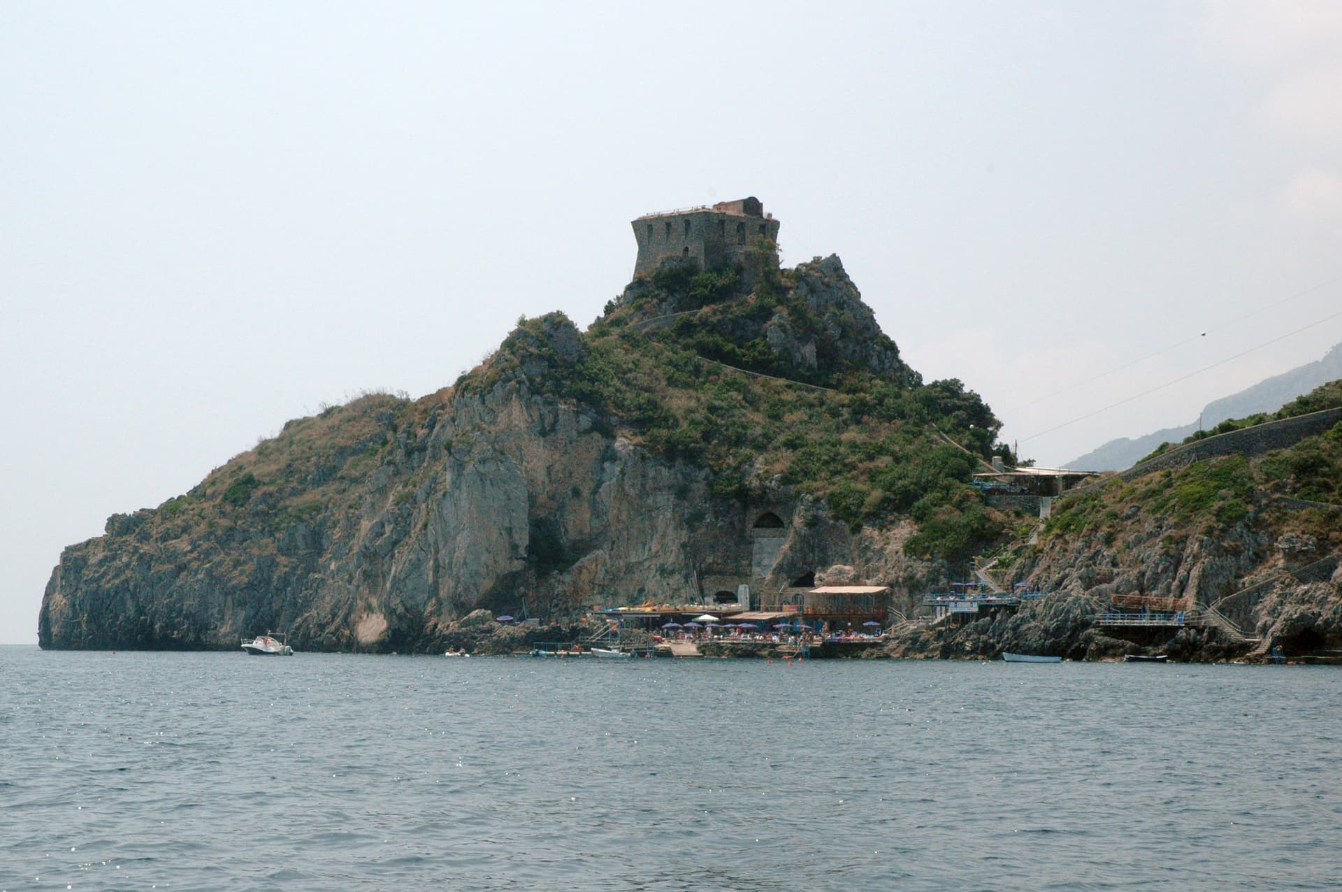
Conca dei Marini
Province: Salerno
A coastal hamlet of 664 people on the Amalfi Coast, the birthplace of the sfogliatella Santa Rosa and home to the Emerald Grotto.
🏛️ UNESCO
More UNESCO towns in Campania
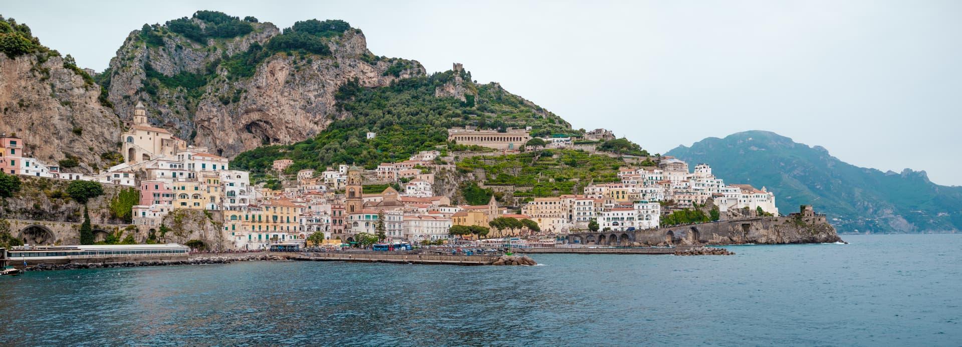
Amalfi
Province: Salerno
The first Italian maritime republic and the coast it named, six meters above the sea between cliffs that close around the duomo's steps.
Ascea
Province: Salerno
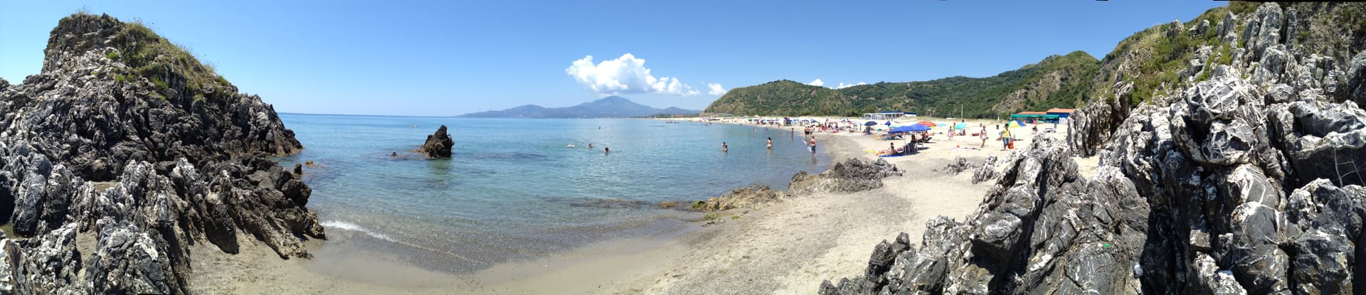
Two villages, a hilltown at 230 meters and a Cilento marina, with Parmenides and Zeno's Eleatic school in the ruins of Greek Velia below.
Benevento
Province: Benevento
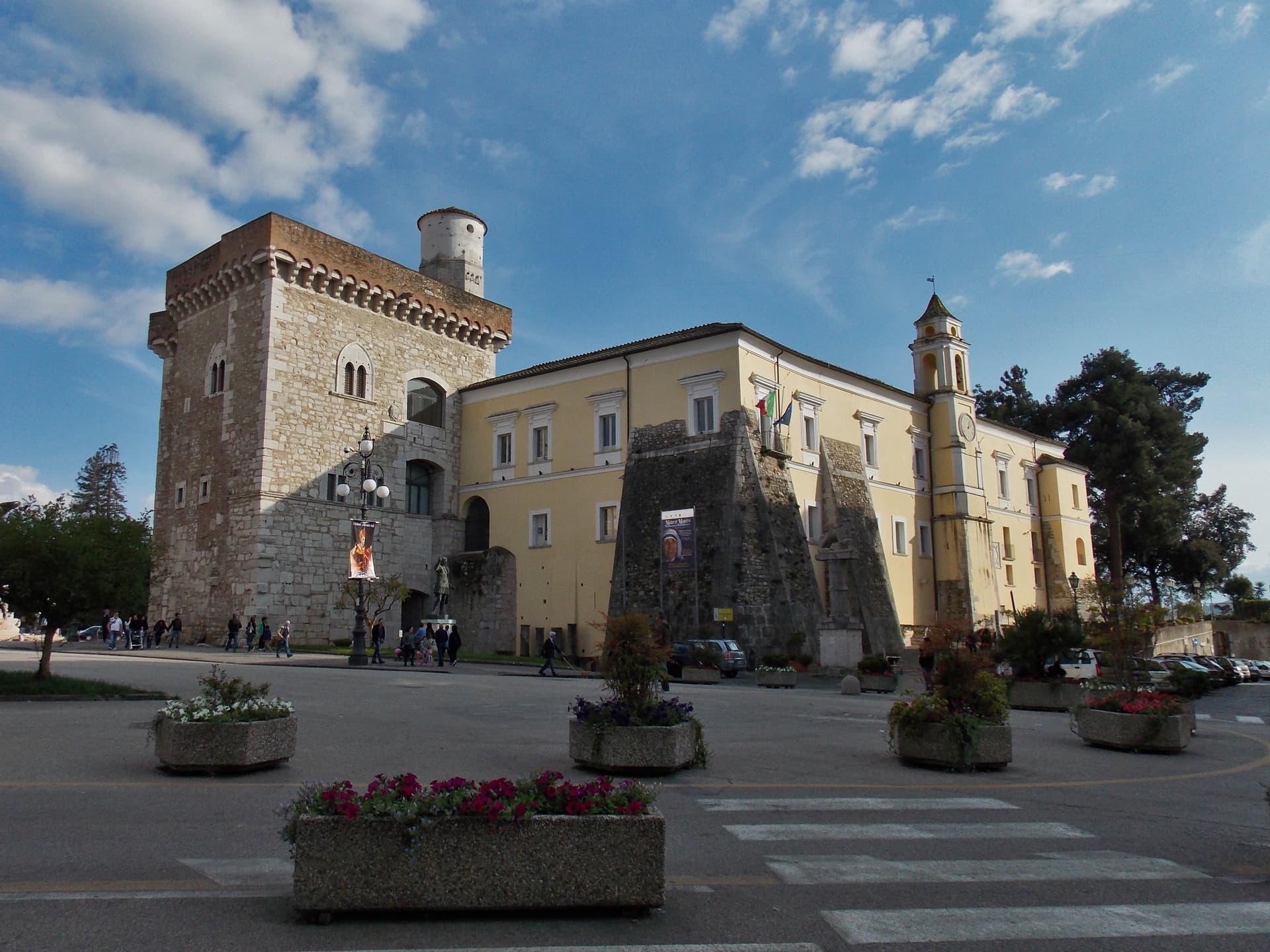
Sannio capital at the Calore-Sabato confluence, with a 114 AD Trajan arch and a Lombard rotunda on the UNESCO list.
Capaccio Paestum
Province: Salerno
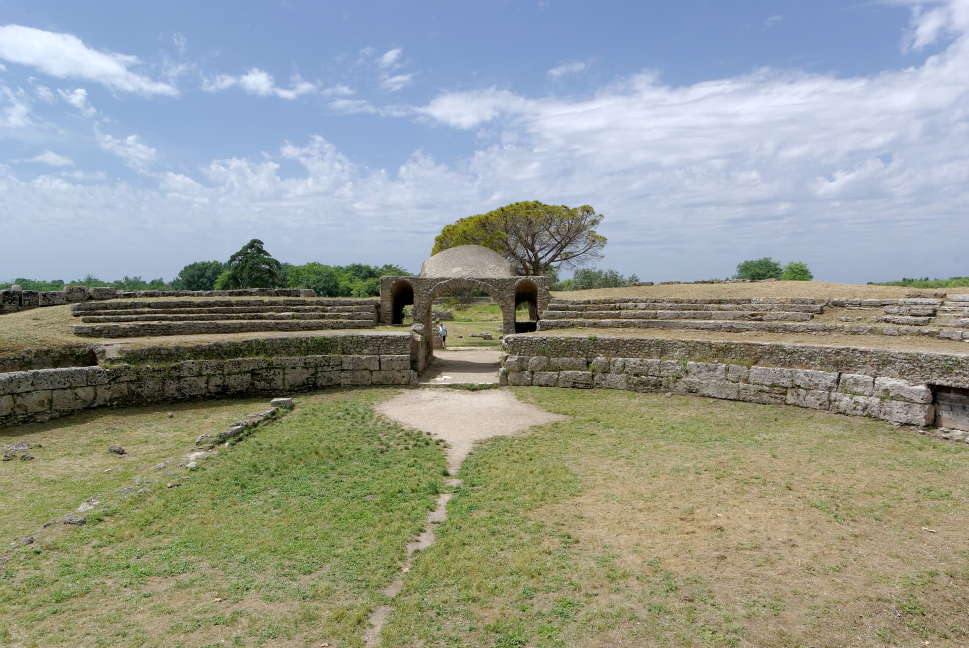
Three Doric temples of 550 to 450 BC on the Sele plain, with mozzarella di bufala DOP on the buffalo flats below Monte Calpazio.
Caserta
Province: Caserta
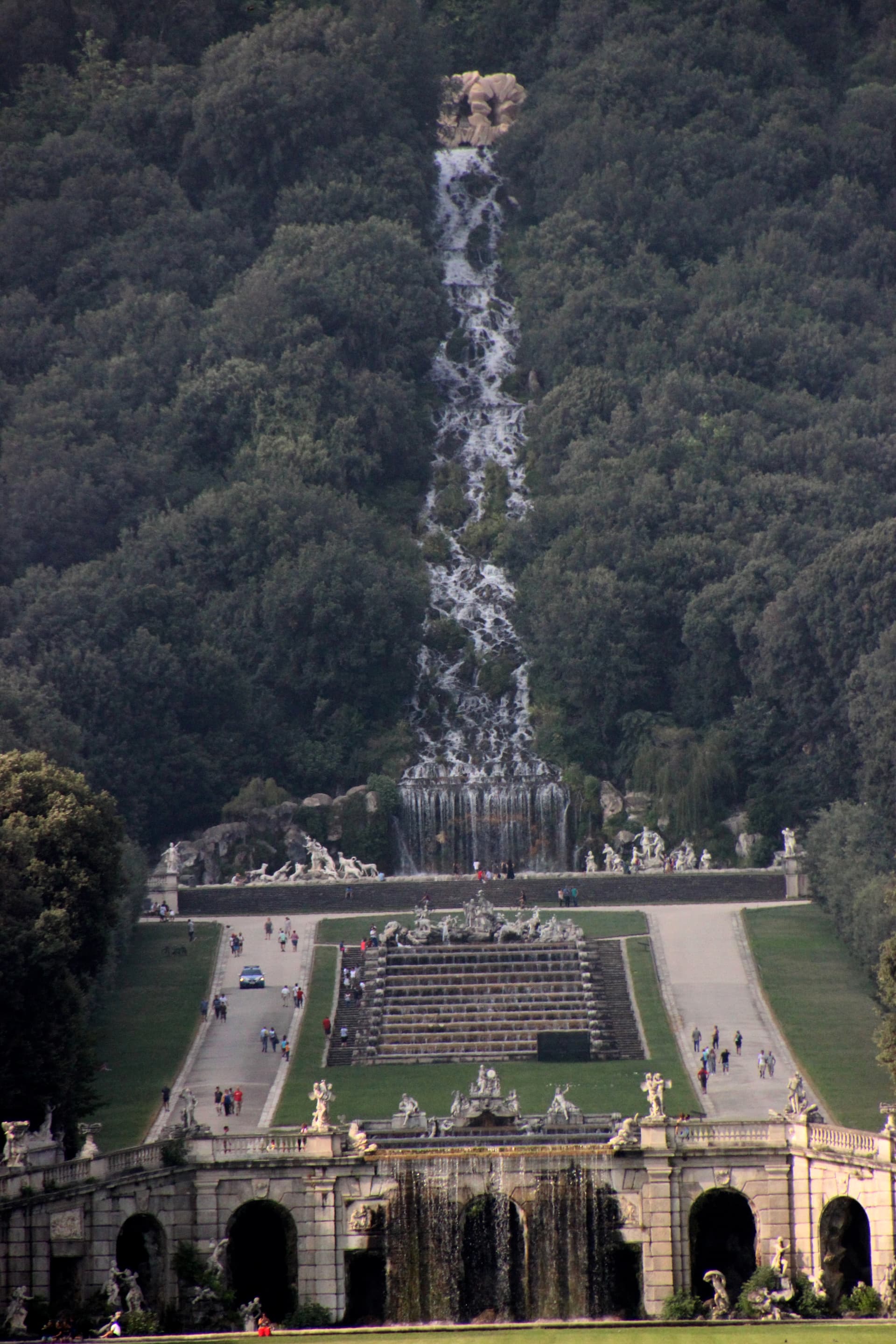
Italy's answer to Versailles, built by the Bourbons on the Campanian plain with 1,200 rooms and a three-kilometer water axis.