

Sicily · Palermo
Petralia Sottana
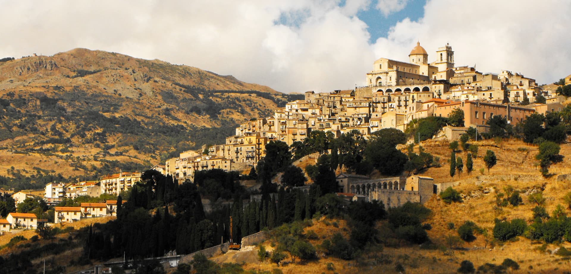
A Madonie village at 1,000 meters, the only Bandiera Arancione in Sicily, and the headquarters of the Parco delle Madonie.
Known for
BANDIERA ARANCIONE
The only commune in Sicily to hold the Italian Touring Club's Orange Flag for inland tourism quality.
PARCO DELLE MADONIE
Headquarters of the regional natural park inside the comune, covering most of its territory and the Pizzo Carbonara summit.
CHIESA MADRE
Seventeenth-century mother church, the largest place of worship in the Madonie, in the Pusterna district overlooking Piazza Umberto.
When to visit
Best · Jun–Sep, Dec–Mar
- J
- F
- M
- A
- M
- J
- J
- A
- S
- O
- N
- D
- Best
- Hot or crowded
- Quiet
- Mostly closed
Why come
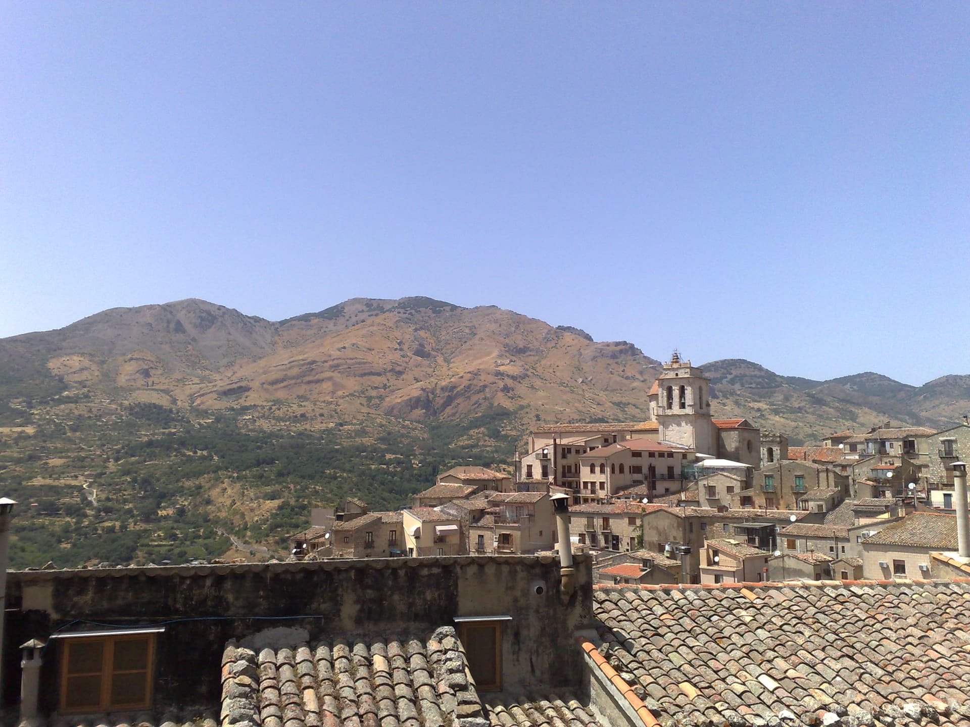
Petralia Sottana sits at 1,000 meters in the heart of the Madonie, the second-highest range in Sicily after Etna. The town is the only commune in Sicily to hold a Bandiera Arancione from the Italian Touring Club, and the headquarters of the Parco delle Madonie are inside its territory. The two Petralie, Sottana and Soprana, share a Roman and Byzantine origin and were rebuilt under the Normans on opposite slopes of the same ridge; Sottana, the lower of the two, became the administrative centre of the surrounding mountain villages.
The Chiesa Madre, also known as the Chiesa Maria Santissima Assunta, is the largest place of worship in the Madonie, seventeenth-century and rebuilt around an earlier core in the Pusterna district. The Chiesa di Santa Maria di Loreto, founded in 1484 and remade in the seventeenth century, has majolica spires that mark the south end of the centro. Piazza del Popolo holds the Neo-Gothic Palazzo Pottino, the marble Quattro Cannoli fountain of Billiemi stone, and the Oratorio delle Anime Purganti.
The Sunday letter
We haven’t written Petralia Sottana’s letter yet.
One town every Sunday, with the photo, the food, the festa. Be there when this one comes up. Free, by Peter & Sophia from Pietrasanta.
By subscribing you agree to Substack’s Terms of Use, our Privacy Policy and our Information collection notice.
What to see
Chiesa Madre (Maria Santissima Assunta)
Seventeenth-century mother church on Piazza Umberto, the largest place of worship in the Madonie, in the ancient Pusterna district.
Chiesa di Santa Maria di Loreto
Church founded in 1484 and rebuilt in the seventeenth century, with majolica spires and a marble altarpiece attributed to Giandomenico Gagini.
Piazza del Popolo
Central square with the Neo-Gothic Palazzo Pottino of the Marquises of Eschifaldo, the Oratorio delle Anime Purganti and the Quattro Cannoli fountain.
Parco delle Madonie
Regional natural park with headquarters in the village, covering most of the municipal territory and rising to Pizzo Carbonara at 1,979 meters.
Pizzo Carbonara
Highest peak in the Madonie at 1,979 meters, second in Sicily only to Etna, with the trailhead reached from the southern flank of the village.
The slow-trip planner
Building a trip? Find where Petralia Sottana fits in a slow Italy circuit.
Answer five questions. We will shape a geographically coherent slow trip from the 1,000 Italian towns most travelers skip. Yours to save and share.
Living here
- Population 2,475
- Off the beaten pathi
- Pharmacy in town
- High school within a 30-minute drive
- Train station in the comune
- Nearest airport Sicily, 2 h 17 min drive
- Regional capital Palermo, 1 h 44 min drive
Tags & datadesignations · numbers · sources
The numbers
- Elevation: 1000 m
- Population: 2,475
- Surface area: 178.35 km²
These figures were compiled from public directories — ISTAT, OpenStreetMap, Wikidata — and from the official listings of the guides named on this page. Town details change; verify with official sources before you travel.
Close by
More towns near Petralia Sottana
Polizzi Generosa
Province: Palermo
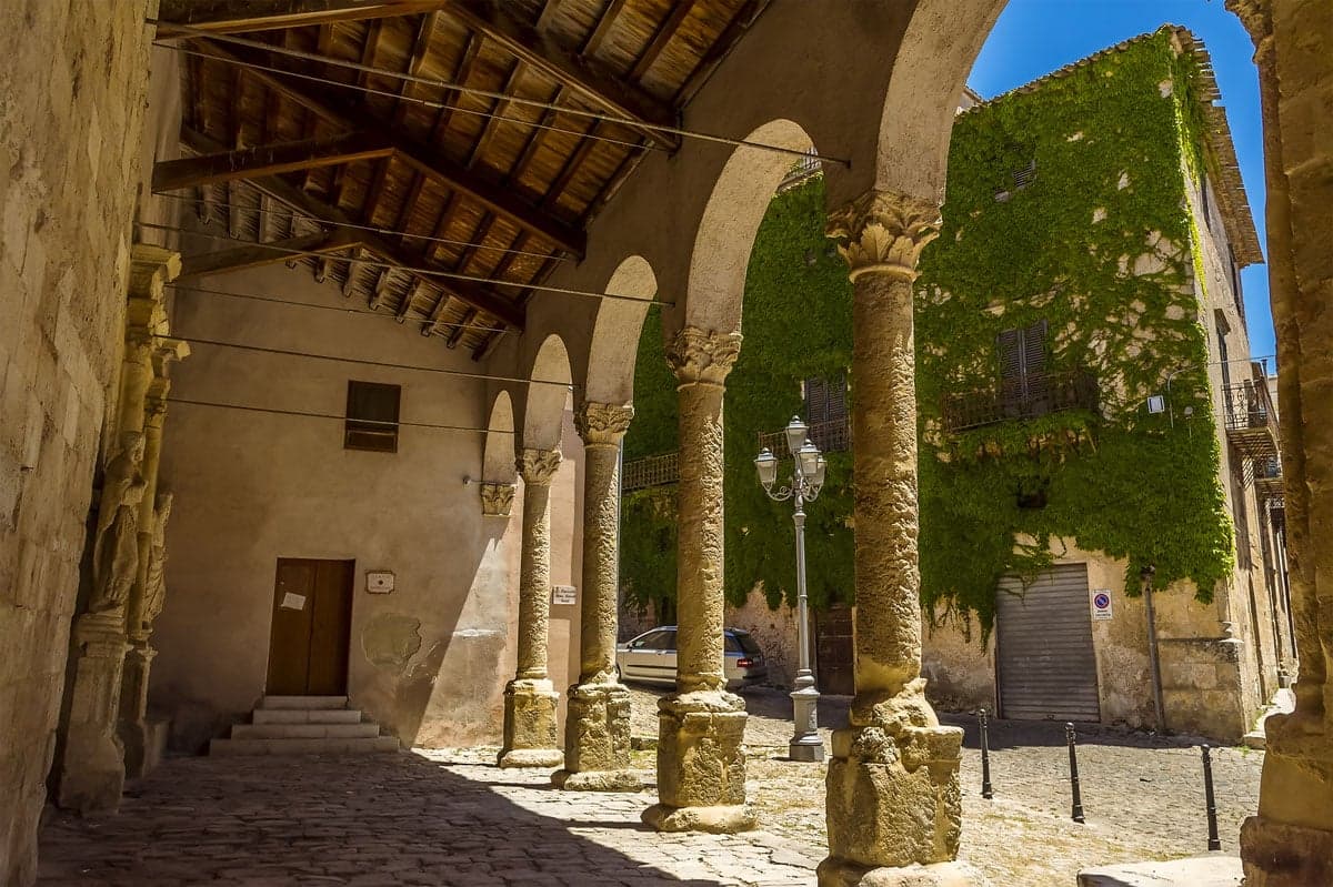
A Madonie town at 917 meters inside a UNESCO Global Geopark, hazelnut country and the birthplace of Domenico Dolce.
Petralia Soprana
Province: Palermo
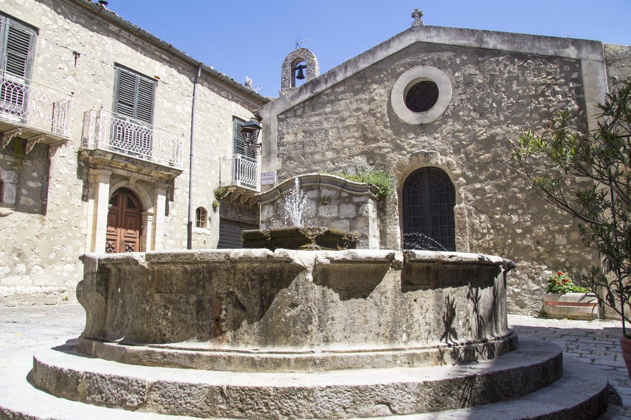
The highest village in the Madonie at 1,147 meters, RAI Borgo dei Borghi 2018 winner, sitting above 80 kilometers of salt tunnels.
Geraci Siculo
Province: Palermo
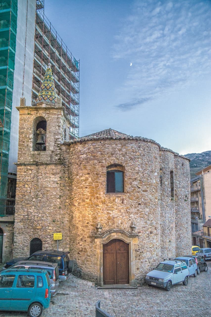
A Madonie ridge village at 1,077 meters, capital of the Ventimiglia marquisate from 1258 and the first marquisate granted in Sicily.
Cefalù
Province: Palermo
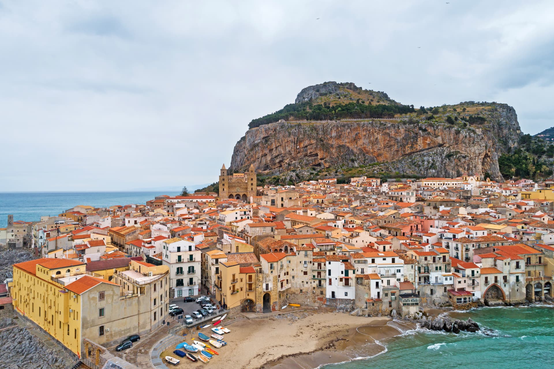
A Norman cathedral at the foot of a 270-meter rock on the Tyrrhenian coast, founded by Roger II in 1131 and on the UNESCO Arab-Norman list since 2015.
Gangi
Province: Palermo
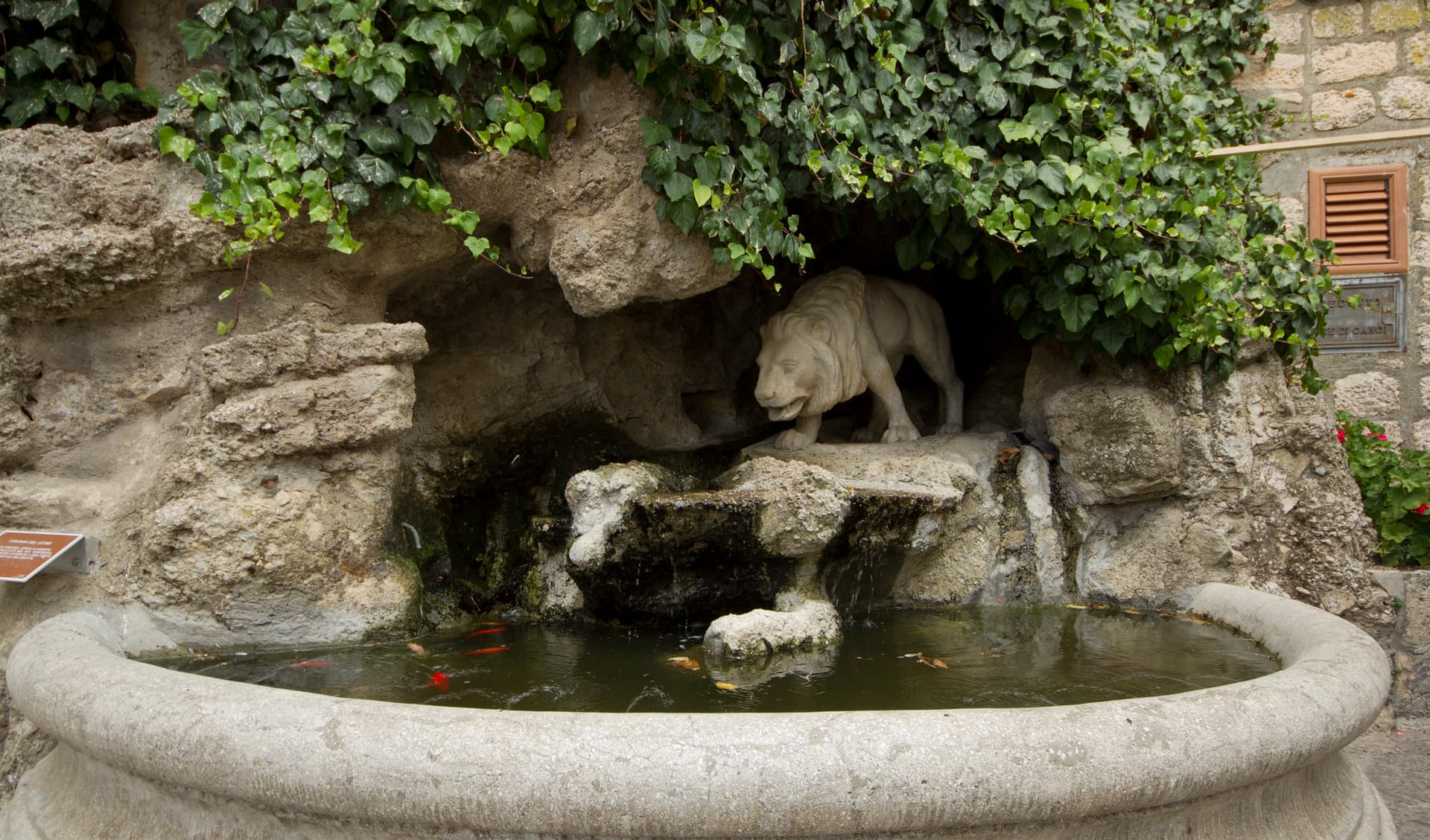
A Madonie hill town stacked down Monte Marone at 1,011 meters, RAI's Borgo dei Borghi 2014 and the launching pad for the one-euro-house programme.
🟠 Bandiera Arancione
More Bandiera Arancione towns
Civitella Alfedena
Province: L'Aquila
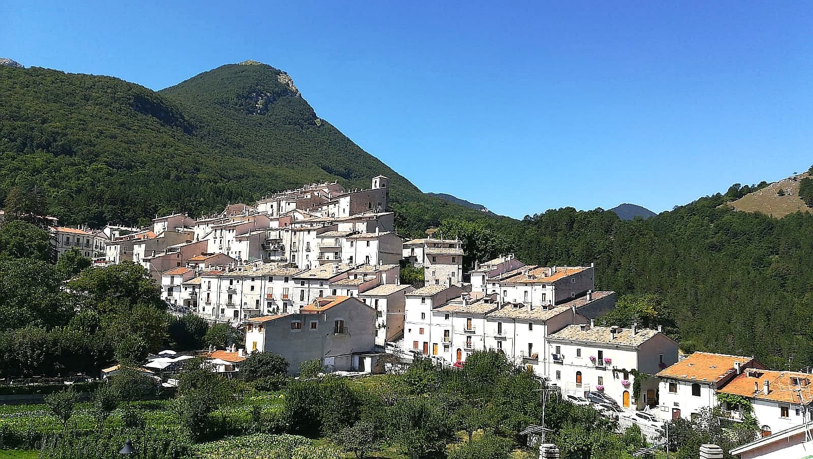
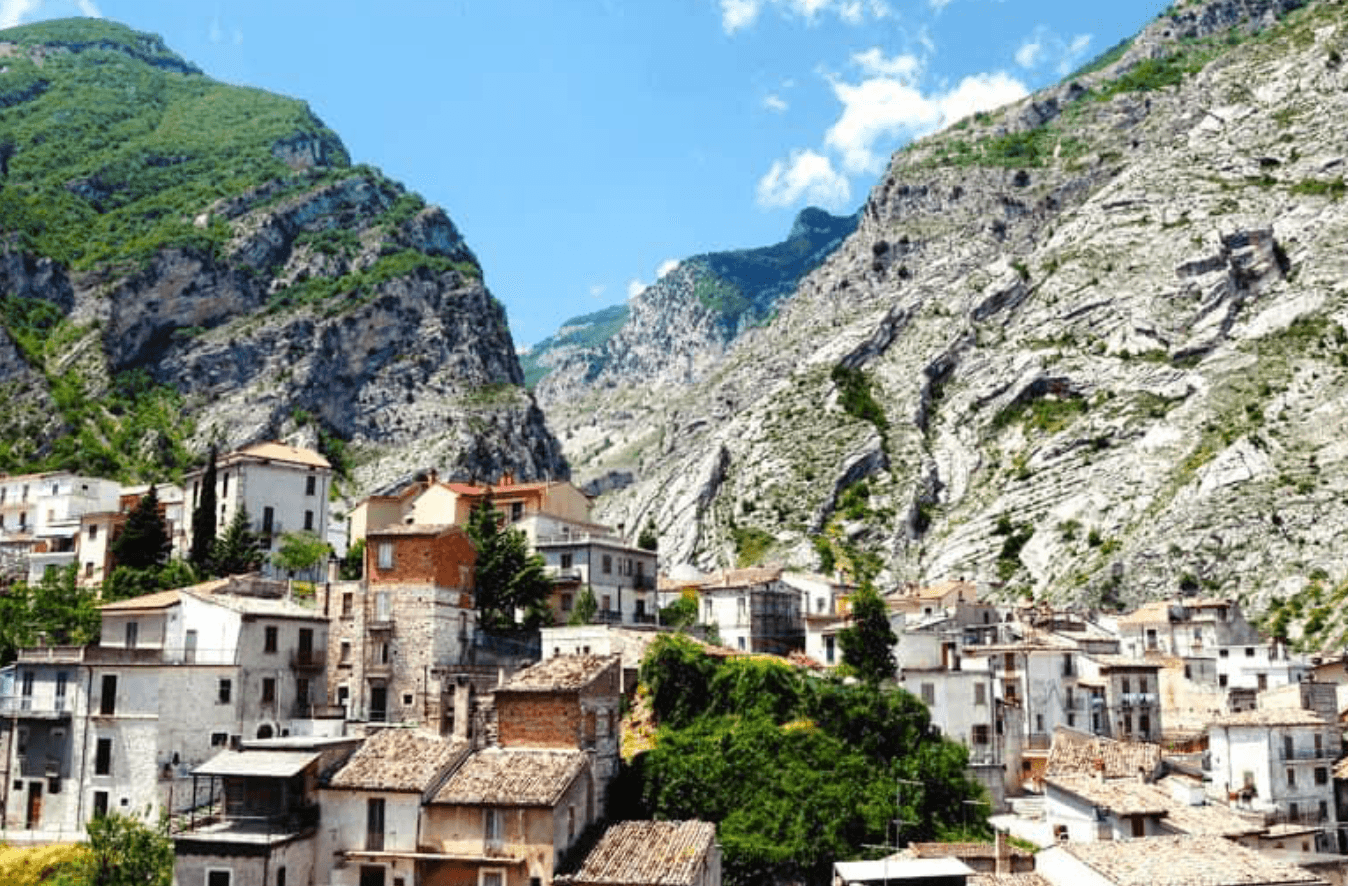
At 1,123 meters above Lake Barrea, 285 residents, the trailhead for the Camosciara reserve and home of the Apennine Wolf Museum.
Fara San Martino
Province: Chieti
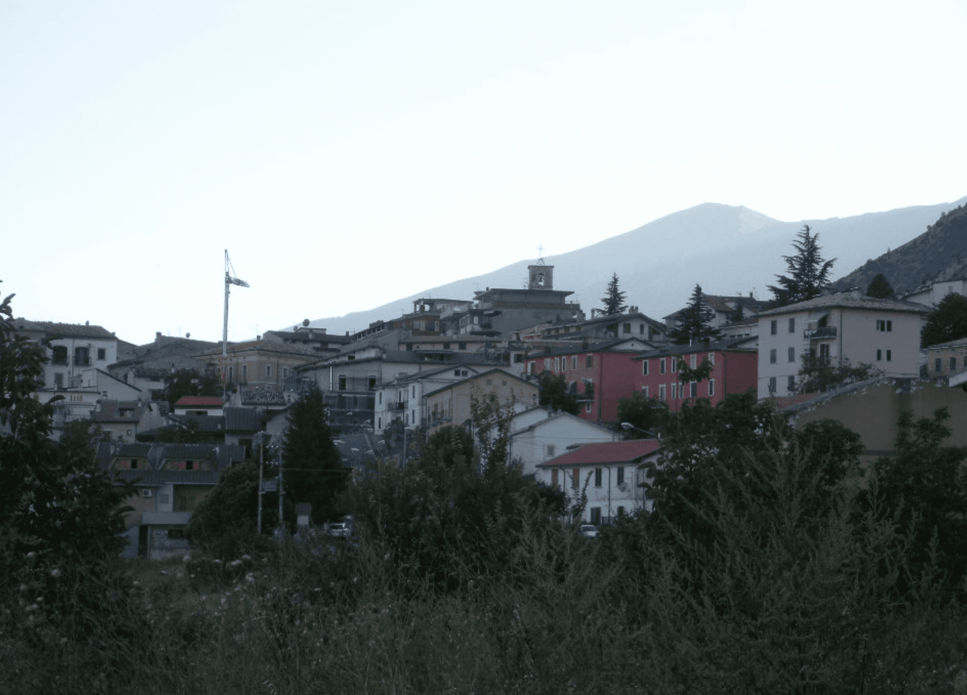
The pasta capital of Italy at 440 meters, where De Cecco was founded in 1886 and the Verde river runs out of a two-meter slot in the Majella wall.
Lama dei Peligni
Province: Chieti
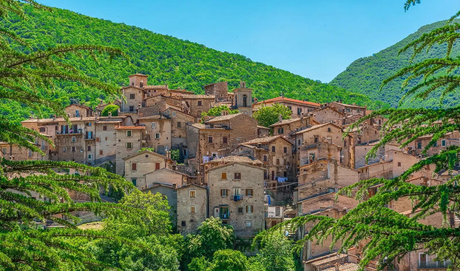
A 669-meter Majella village known for chamois, the Cavallone cave, and a prehistoric burial dug from Fonterossi dated 7000 to 5000 BC.
Scanno
Province: L'Aquila
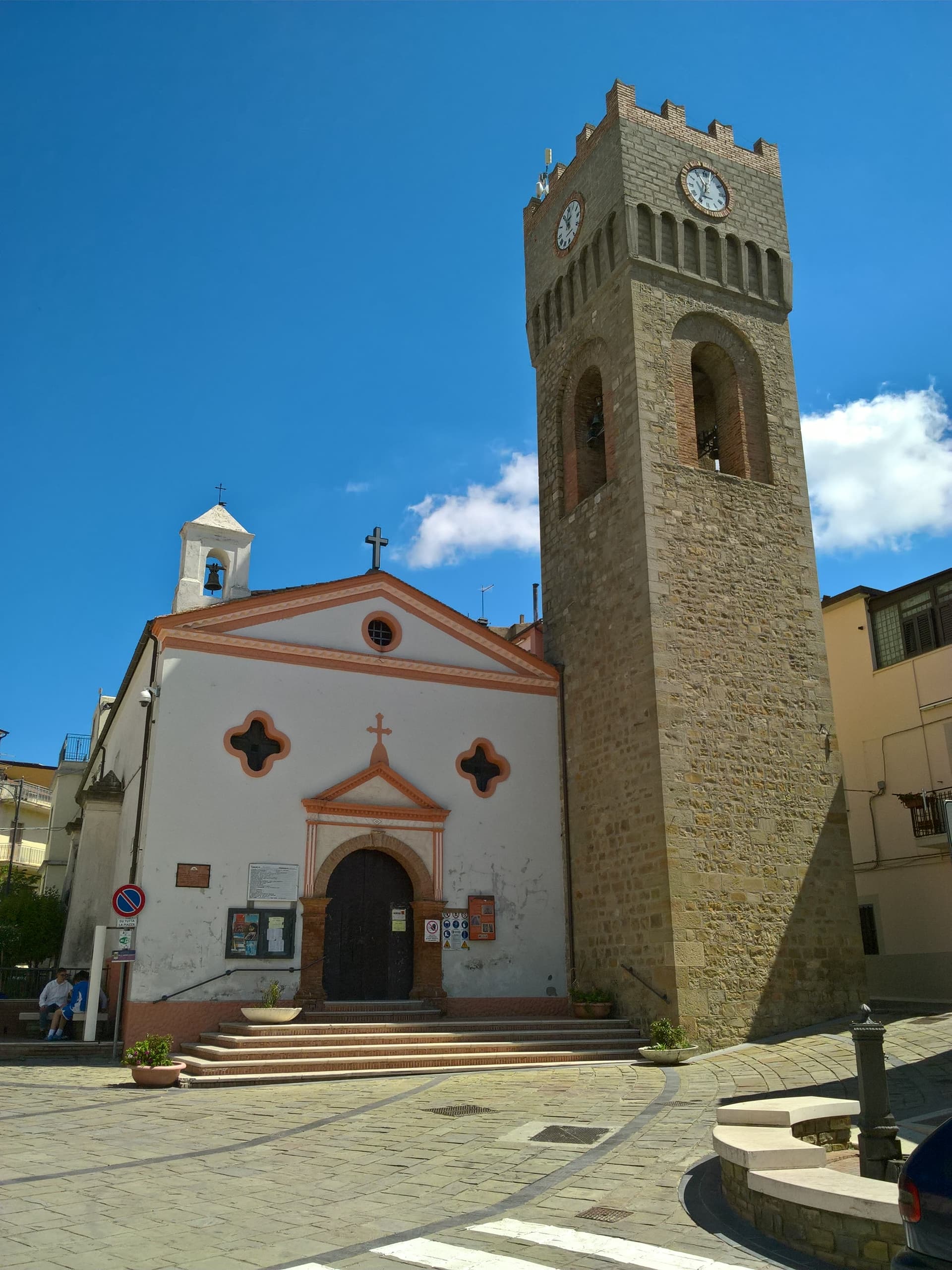
A 1,057-meter Sagittario valley village photographed by Cartier-Bresson and Giacomelli, where women in black still walk the same alleys as the 1957 series.
Aliano
Province: Matera
The clay-hill village at 555 meters above the Agri valley where Carlo Levi served his 1935 exile and is buried in the cemetery.