
Designation
Ski Area
96 towns across 18 regions
Browse by region
Abruzzo16
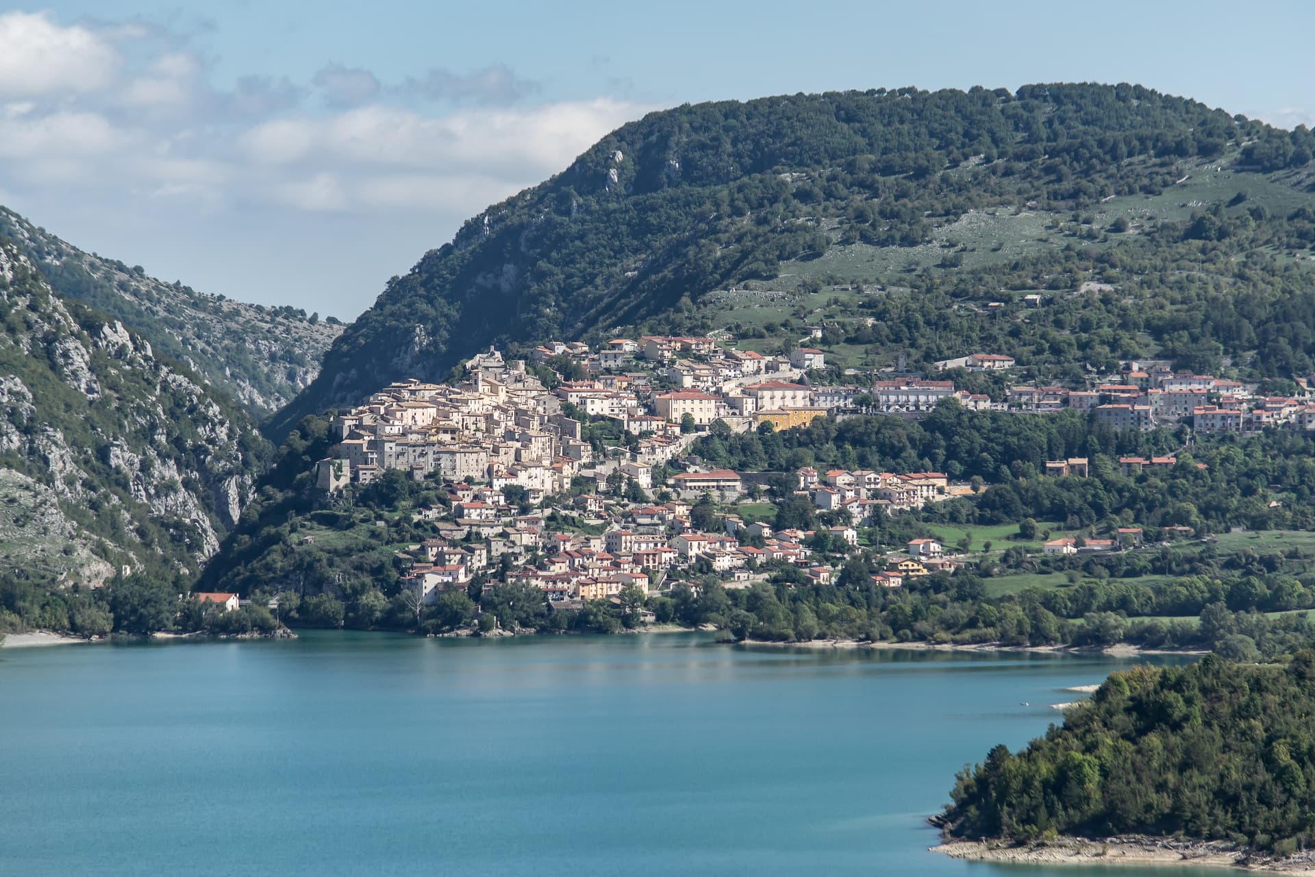
Barrea
Province: L'Aquila · 1,066 m
A 1,066-meter spur above an artificial lake at the heart of the Abruzzo National Park, with a Samnite necropolis and an 11th-century di Sangro castle.
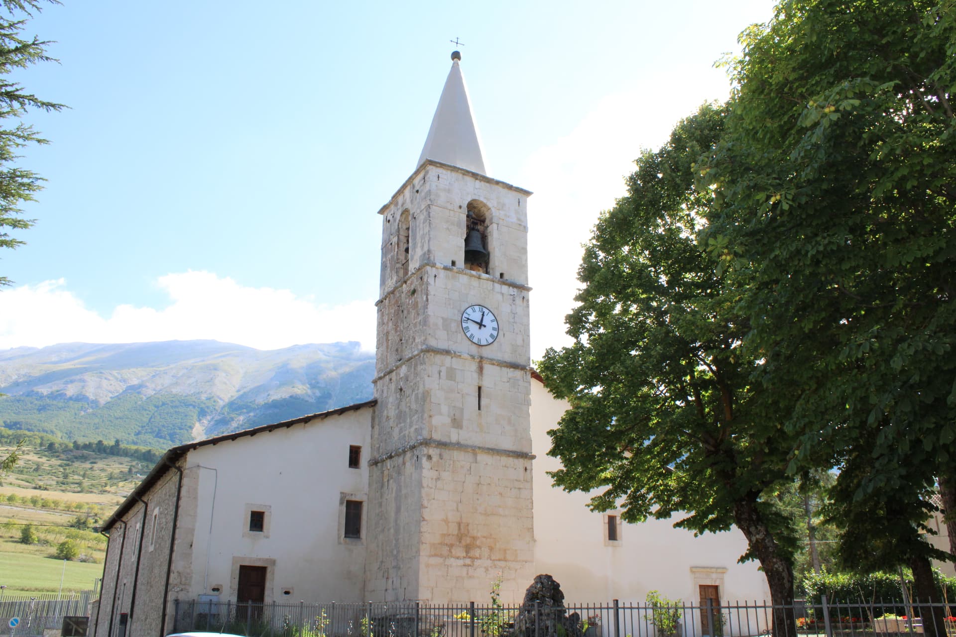
Campo di Giove
Province: L'Aquila · 1,064 m
At 1,064 meters under the southwestern Maiella, the highest village in the park, named for a Roman temple to Jupiter.
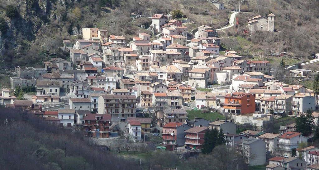
Cappadocia
Province: L'Aquila · 1,102 m
Italy's Cappadocia — a 575-resident Marsican borgo at 1,102m in Abruzzo's western mountains, with the spectacular Grotte di Pietrasecca karst cave system (the longest in the central Apennines), Borgo Autentico + Città delle Grotte signals, and a name that does cause genuine reservations for travellers expecting Turkey's hot-air balloon landscape.
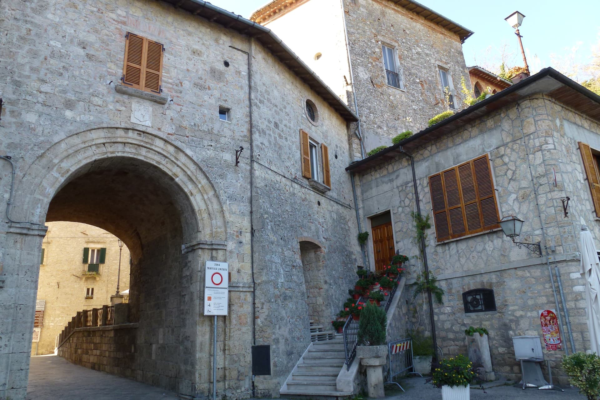
Civitella del Tronto
Province: Teramo · 589 m
A rocky crest at 589 meters above the Tronto valley, crowned by the last Bourbon fortress to surrender to united Italy in March 1861.
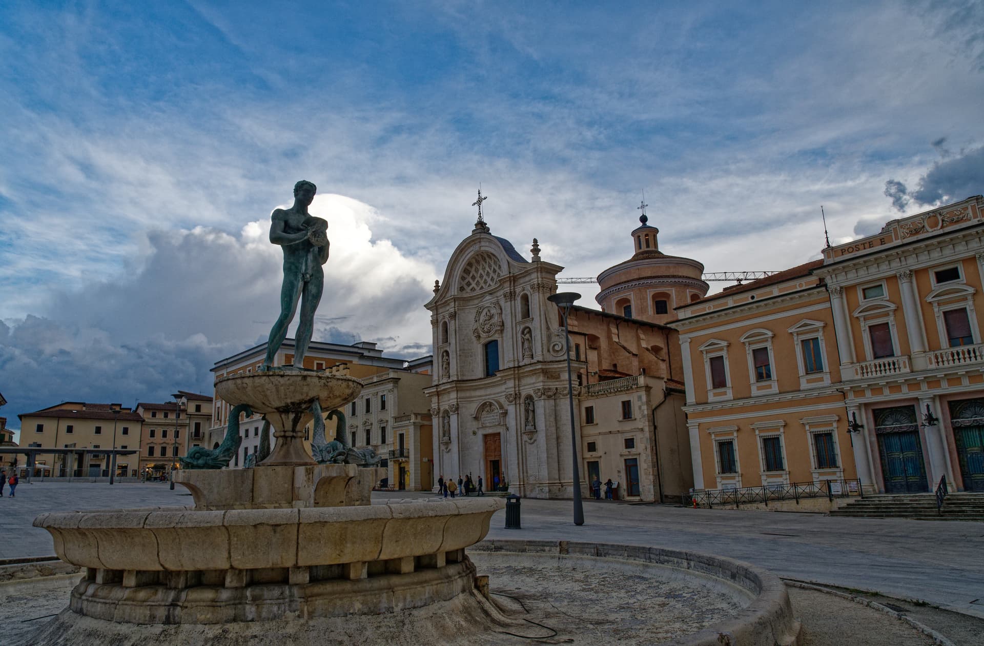
L'Aquila
Province: L'Aquila · 721 m
The regional capital at 721 meters under the Gran Sasso, founded by Frederick II around 1240 and still reconstructing after the 2009 earthquake.
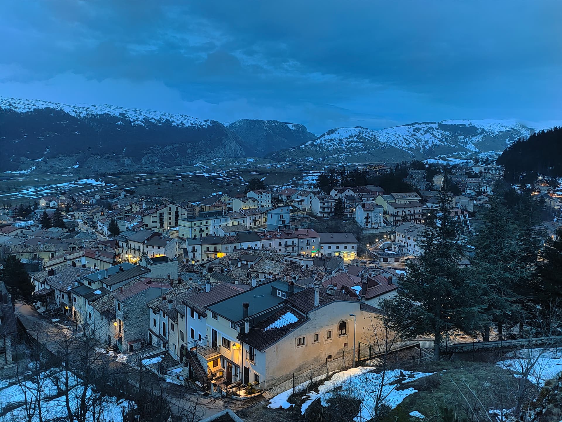
Ovindoli
Province: L'Aquila · 1,375 m
At 1,375 meters on the Altopiano delle Rocche, the closest serious ski station to Rome, working since 1959 on the slopes of Monte Magnola.
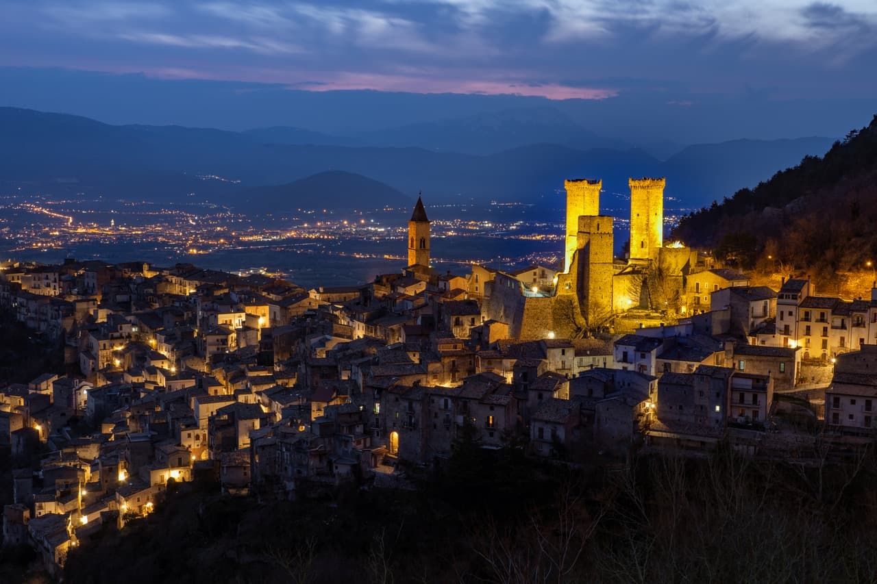
Pacentro
Province: L'Aquila · 650 m
A medieval village at 650 meters under the Caldora castle towers, where every September a barefoot race honors a Madonna and a pop singer's grandparents.
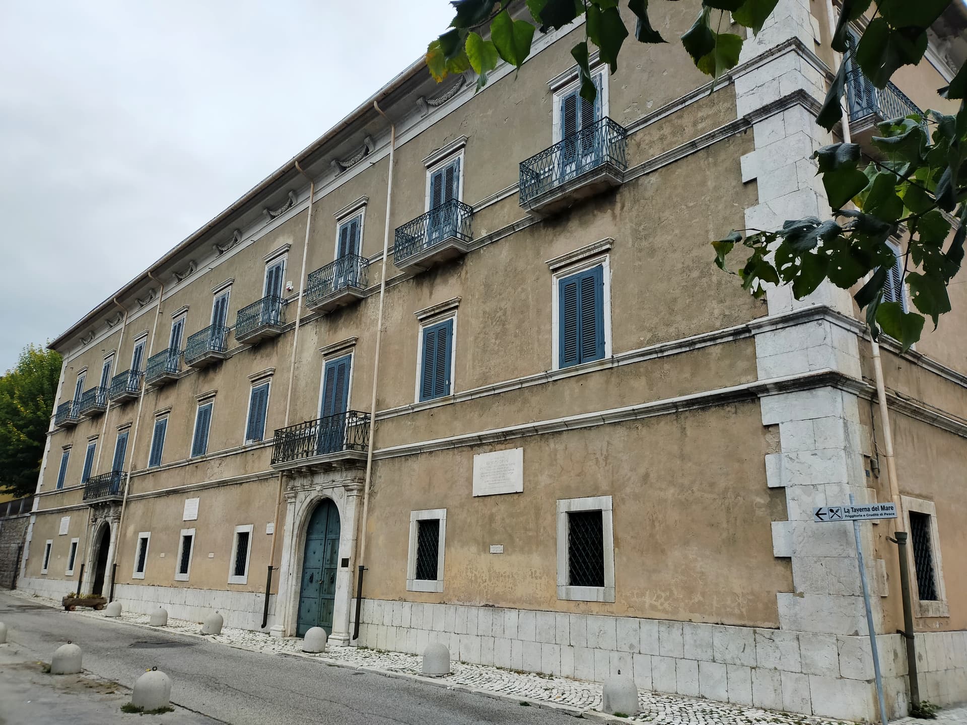
Pescasseroli
Province: L'Aquila · 1,167 m
At 1,167 meters at the head of the Sangro valley, capital of Italy's oldest national park and birthplace of Benedetto Croce.
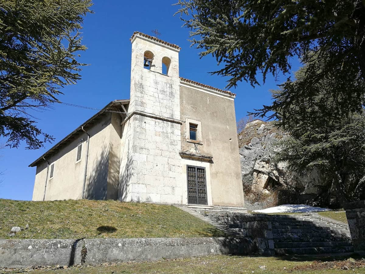
Pescocostanzo
Province: L'Aquila · 1,395 m
A planned Renaissance town at 1,395 meters on the Quarto Grande plateau, with bobbin lace, wrought iron, and the wood ceilings of a five-nave church.
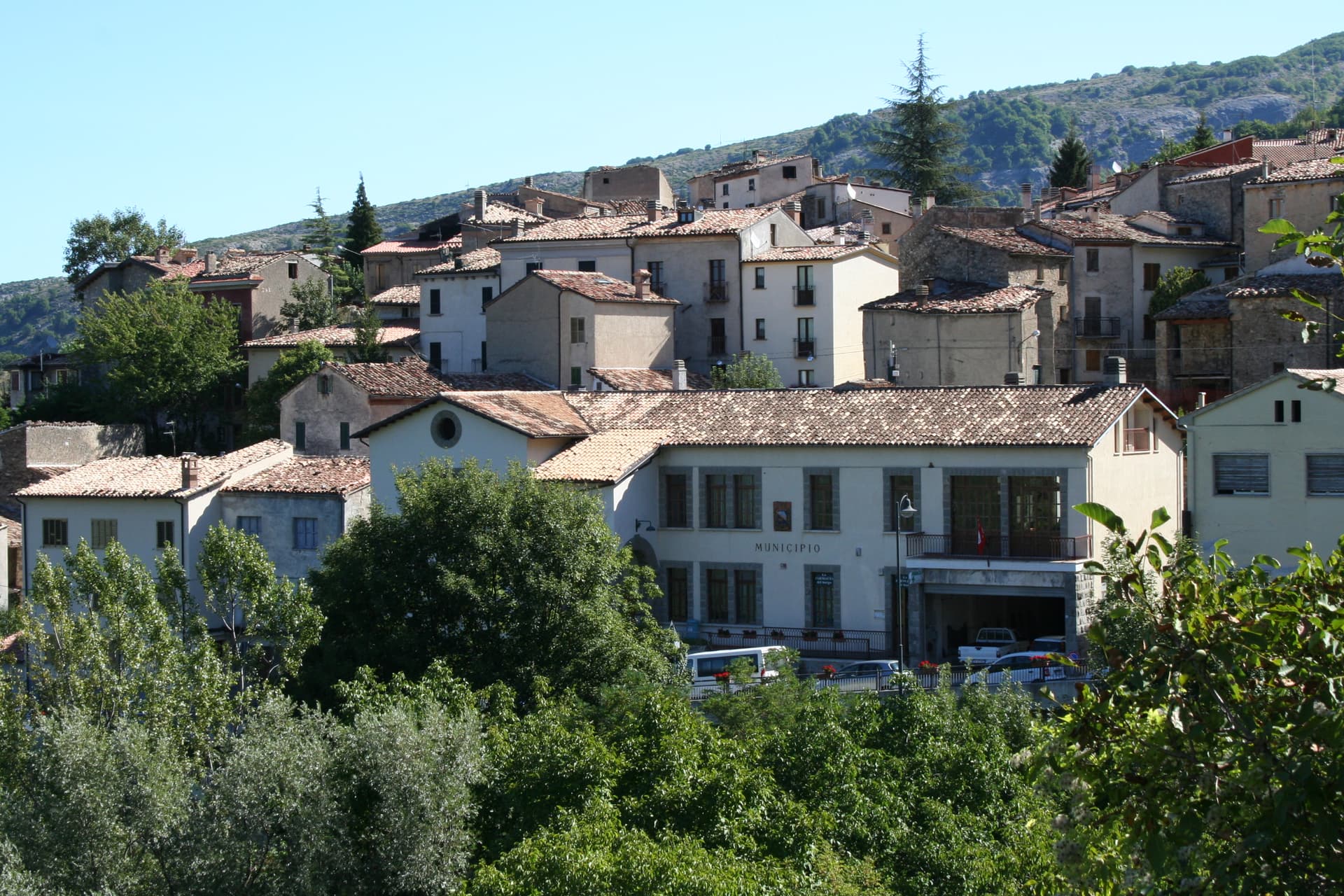
Pietracamela
Province: Teramo · 1,005 m
A village of 218 people clinging at 1,005 meters under the north wall of Corno Piccolo, birthplace of Italian Apennine climbing in 1925.
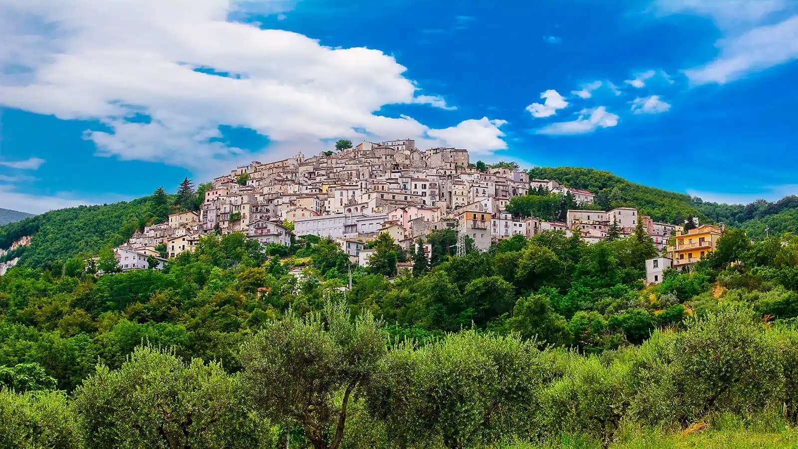
Pretoro
Province: Chieti · 530 m
A village of 856 stacked at 530 meters on the eastern Maiella, with wolves in a fenced enclosure and woodturners still working on Via Roma.
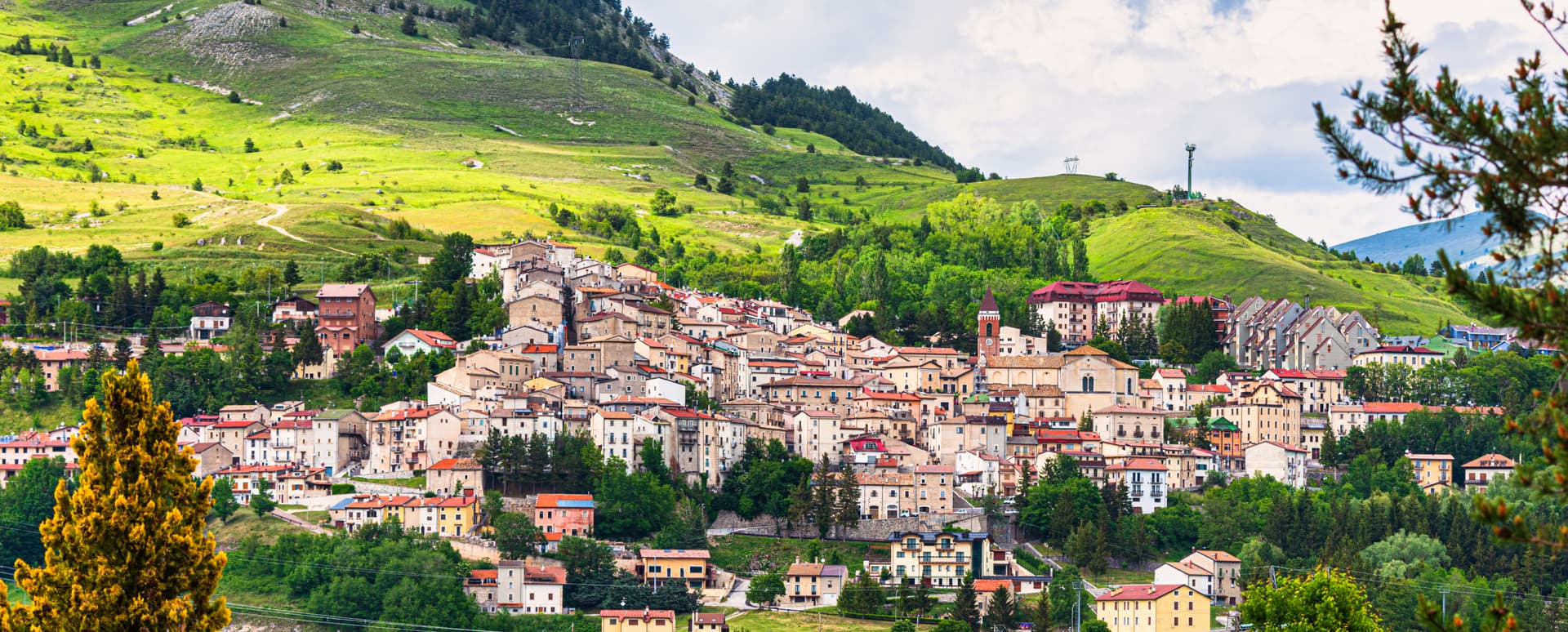
Rivisondoli
Province: L'Aquila · 1,320 m
At 1,320 meters on the Cinque Miglia plateau, paired with Roccaraso in the Alto Sangro ski domain and known for its Epiphany living nativity.
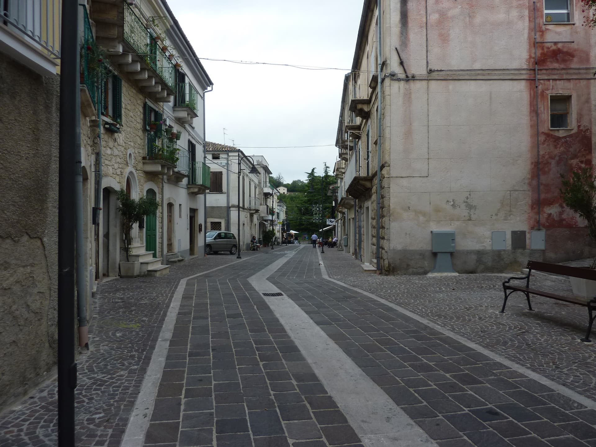
Roccamorice
Province: Pescara · 520 m
A village at 520 meters in the Majella foothills, gateway to the rock-cut hermitages where Pietro da Morrone lived before becoming Pope Celestine V.
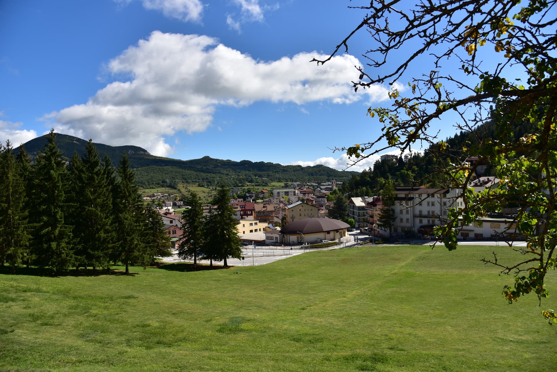
Roccaraso
Province: L'Aquila · 1,236 m
At 1,236 meters in the Alto Sangro, the south of Italy's largest ski resort, leveled by the Gustav Line in 1943 and rebuilt from rubble.
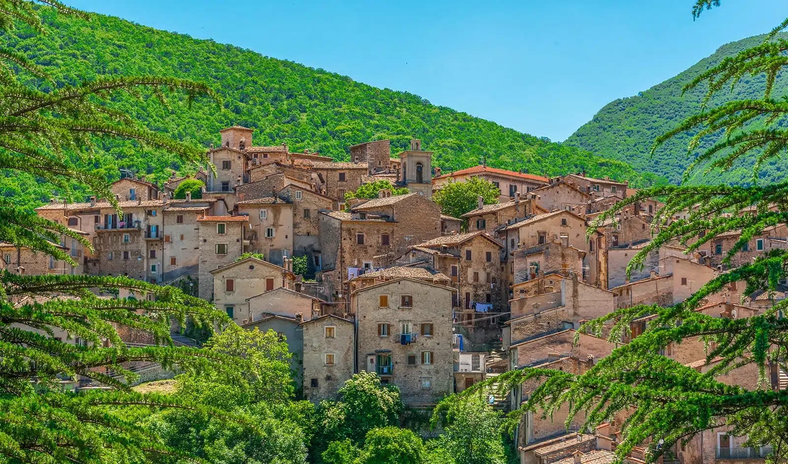
Scanno
Province: L'Aquila · 1,057 m
A 1,057-meter Sagittario valley village photographed by Cartier-Bresson and Giacomelli, where women in black still walk the same alleys as the 1957 series.
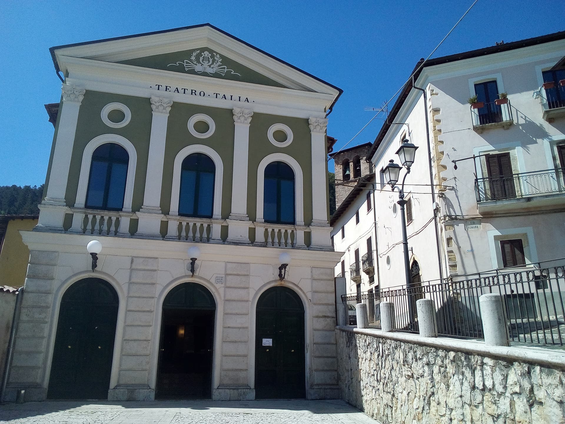
Tagliacozzo
Province: L'Aquila · 740 m
A Marsica town at 740 meters below Monte Civita, where Charles of Anjou won the 1268 battle and the Orsini built the ducal palace.
Aosta Valley8
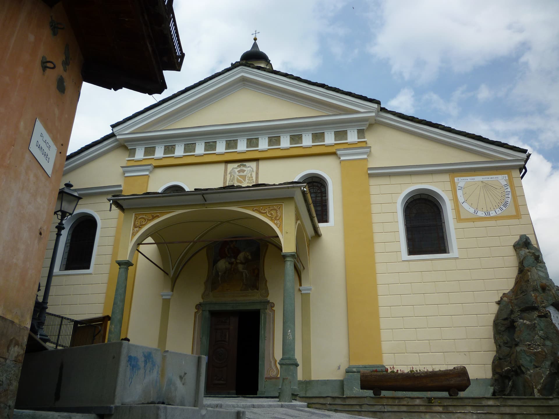
Ayas
Province: Aosta Valley · 1,710 m
A scattered upper-valley commune of three villages under the Monte Rosa, where Walser settlers and Romance-speaking herders share the slopes below Castor and Pollux.
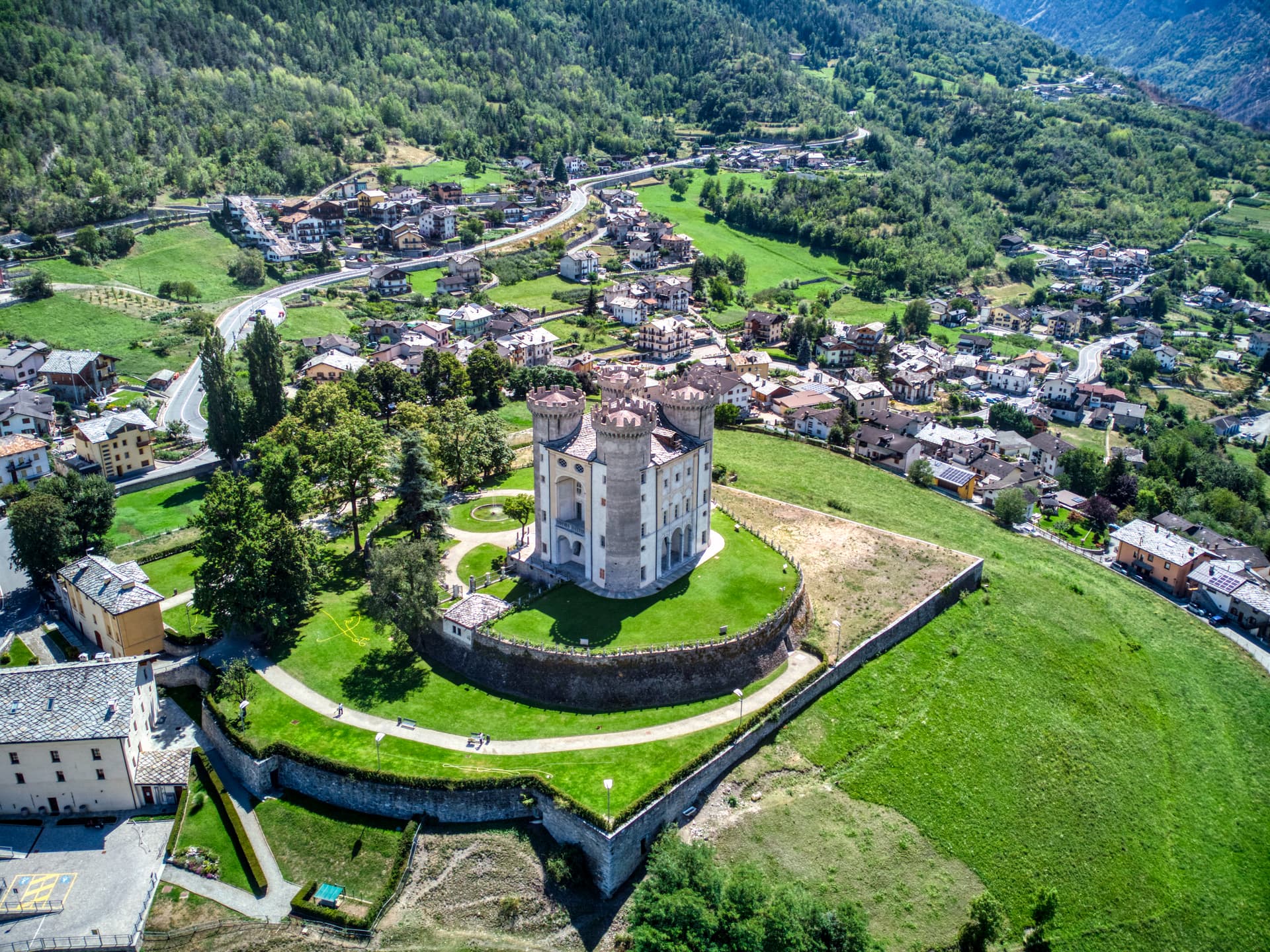
Aymavilles
Province: Aosta Valley · 646 m
Gateway to the Gran Paradiso at 646 metres, with a four-towered Challant castle and a 3 BC Roman aqueduct above the Grand'Eyvia.
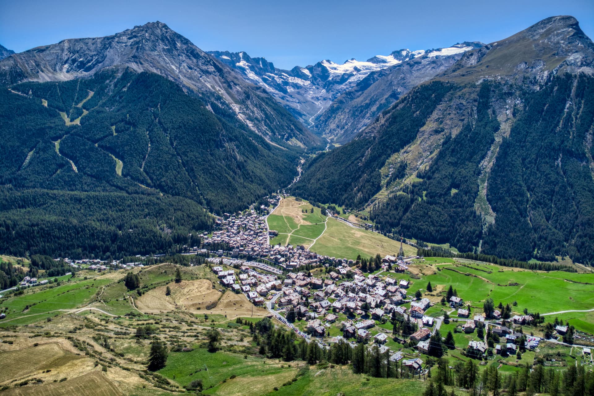
Cogne
Province: Aosta Valley · 1,534 m
The mining town turned capital of the Gran Paradiso, the Aosta Valley's largest commune with 95 percent of its land inside Italy's oldest park.
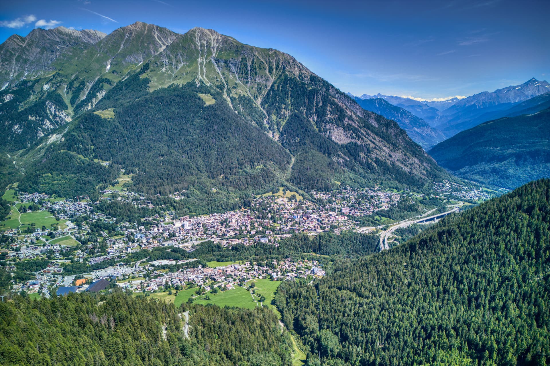
Courmayeur
Province: Aosta Valley · 1,224 m
The Italian base of Mont Blanc, a Roman waystation on the Via delle Gallie that became the country's highest commune and its best-known ski address.
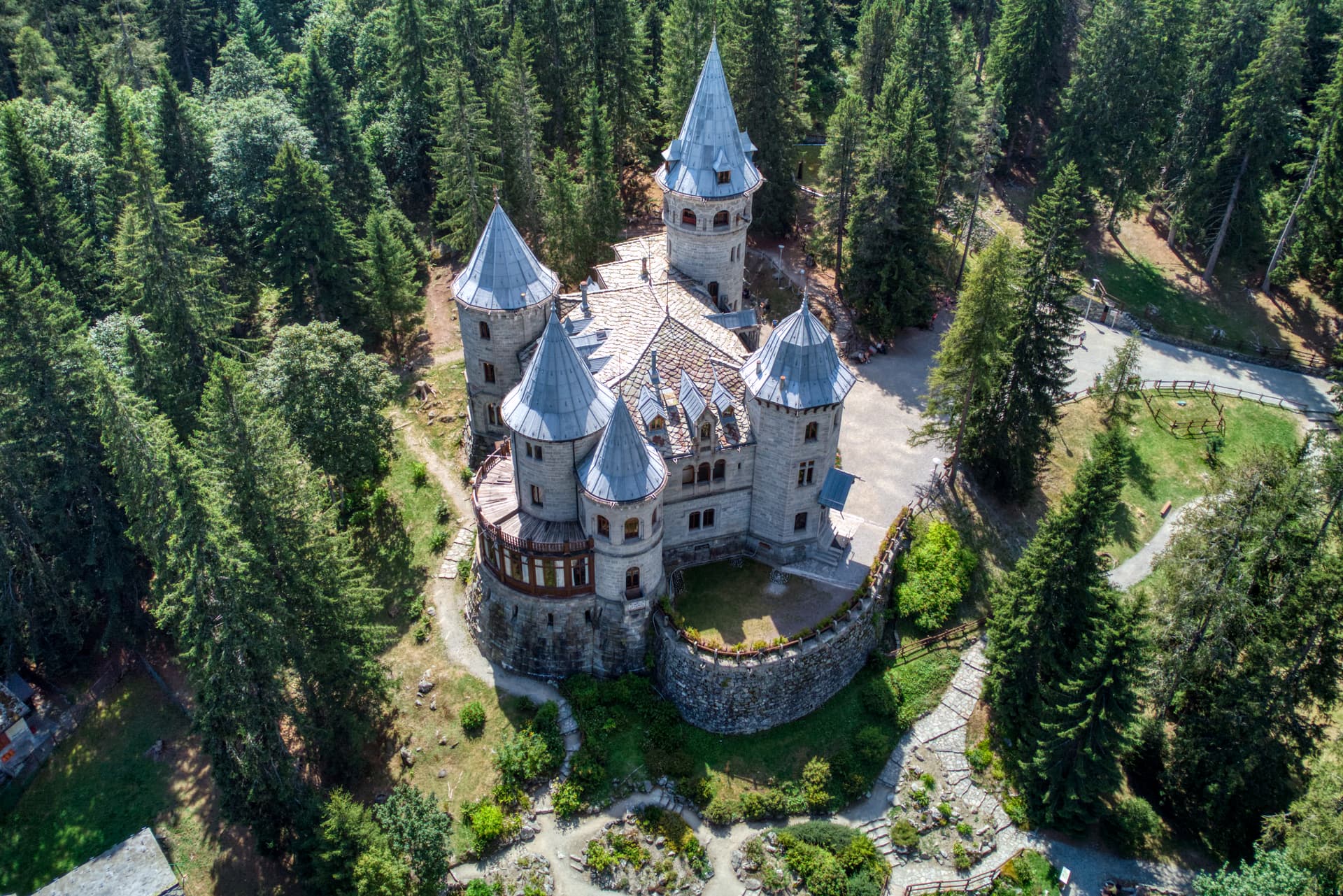
Gressoney-Saint-Jean
Province: Aosta Valley · 1,385 m
A Walser village in the Lys valley where Titsch is still spoken, Queen Margherita summered, and the Lyskamm glacier closes the view.
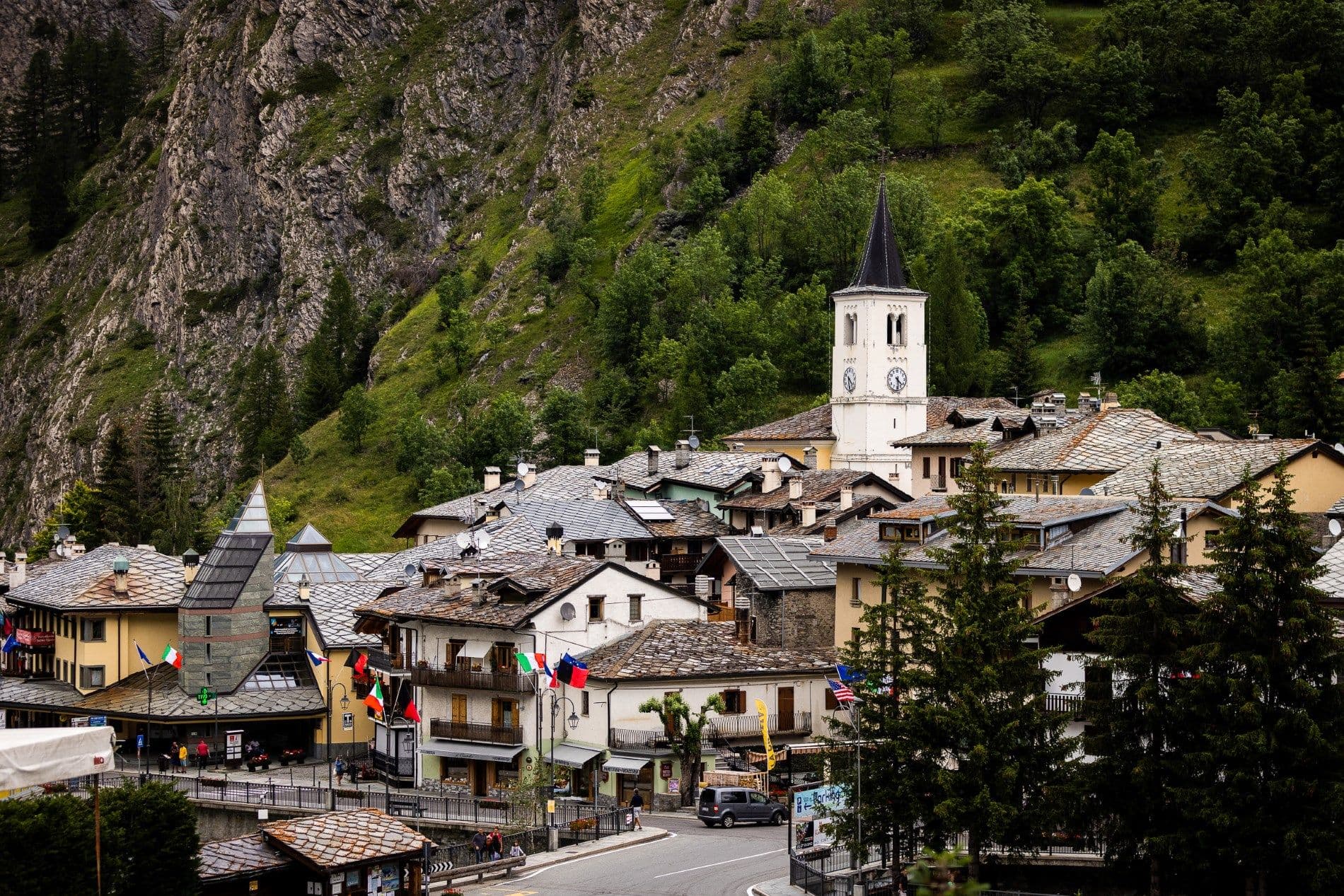
La Thuile
Province: Aosta Valley · 1,441 m
Italy's gateway to the Petit Saint-Bernard pass — a 1,441m alpine village under Mont Blanc with the Espace San Bernardo ski domain straddling the French border (152 km of pistes shared with La Rosière), the Rutor glacier and its tiered waterfalls behind it, and a Roman-Salassi history that goes back two millennia.
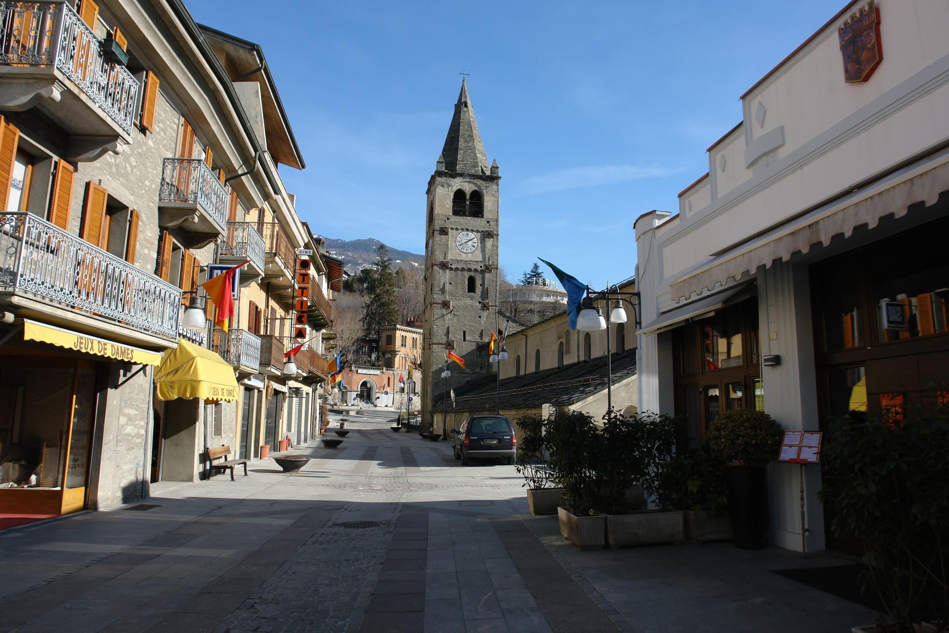
Saint-Vincent
Province: Aosta Valley · 575 m
The Aosta Valley's belle-époque thermal town — a 4,400-resident commune on a sunny south-facing terrace at 575m with the Fonte Salée mineral spring (in use since 1770), the Casinò de la Vallée (Italy's second-largest legal casino since 1947), and the Matterhorn peak visible north of town.
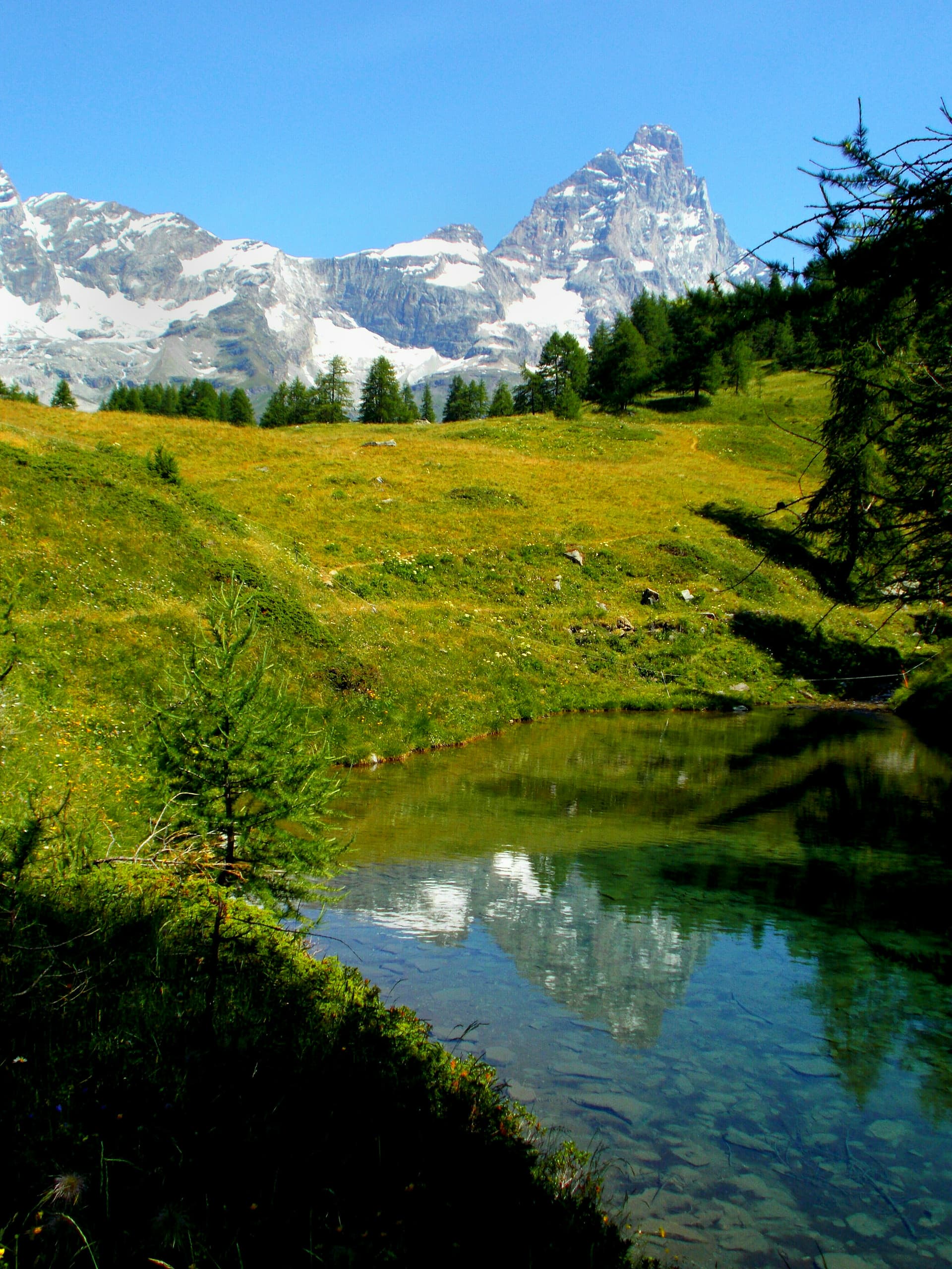
Valtournenche
Province: Aosta Valley · 1,524 m
The valley under the Cervino, home of the guides who raced Whymper up the mountain in 1865 and the resort of Breuil-Cervinia at its head.
Basilicata3
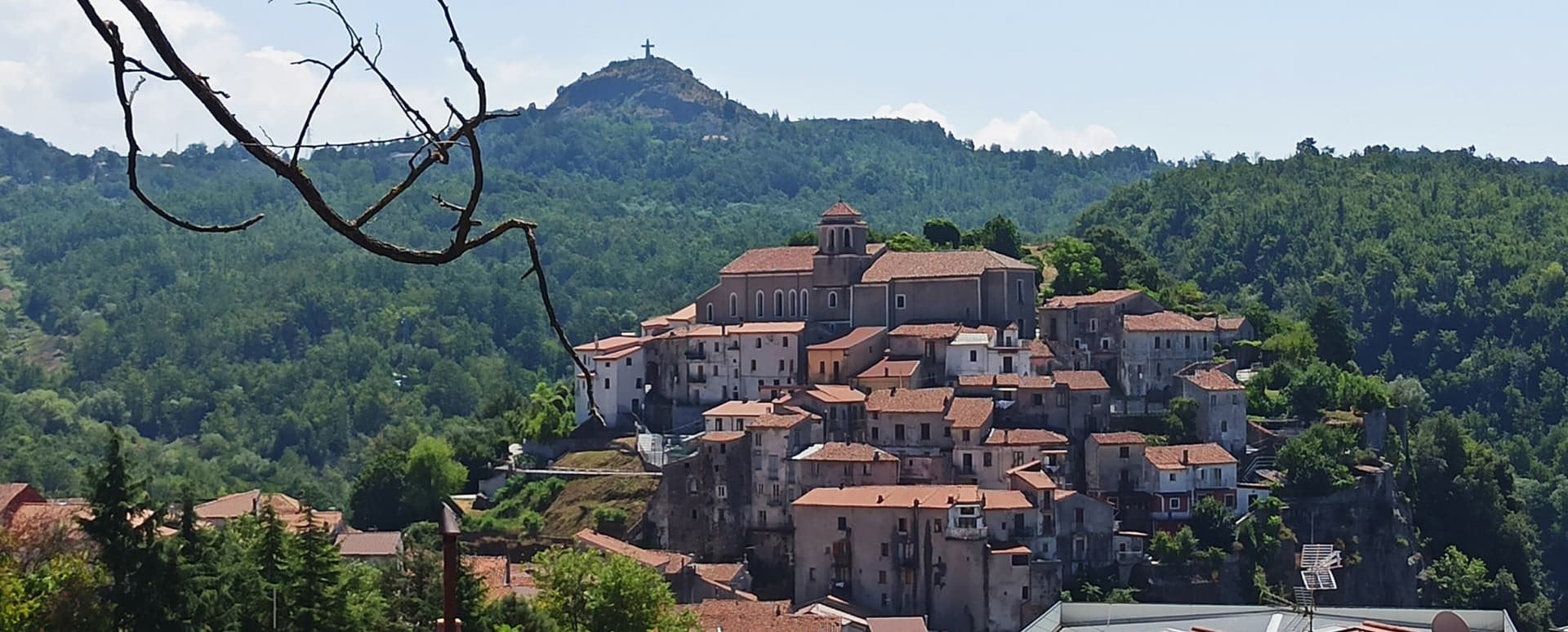
Lagonegro
Province: Potenza · 666 m
A 666-meter Valle del Noce town founded by Byzantine monks, where local legend places the burial of Lisa del Giocondo, Leonardo's Mona Lisa.
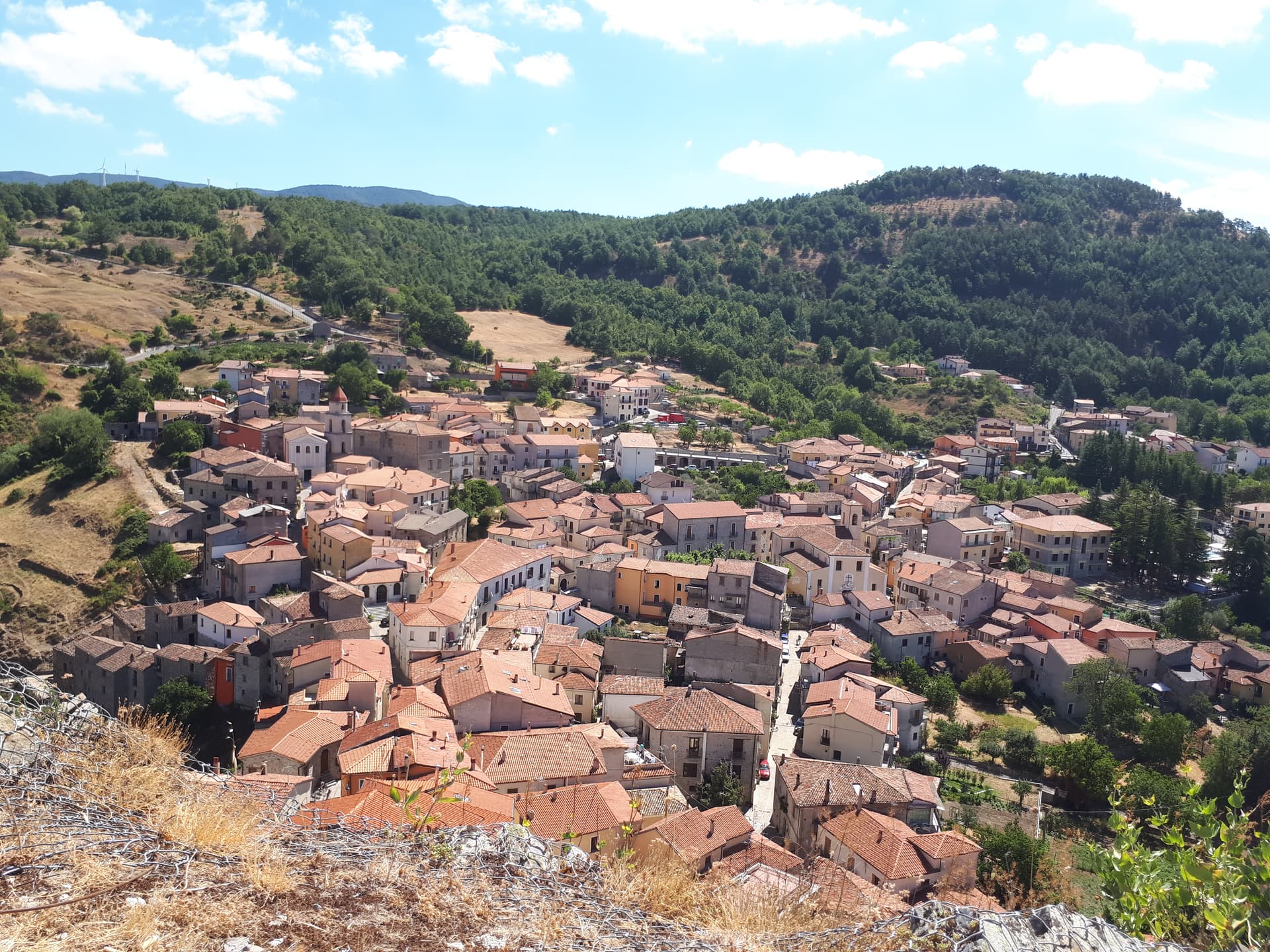
Sasso di Castalda
Province: Potenza · 949 m
A 949-meter village in the Lucanian Apennines whose emigrants produced the engineer who launched Apollo 11, now crossed by a 300-meter Tibetan footbridge.
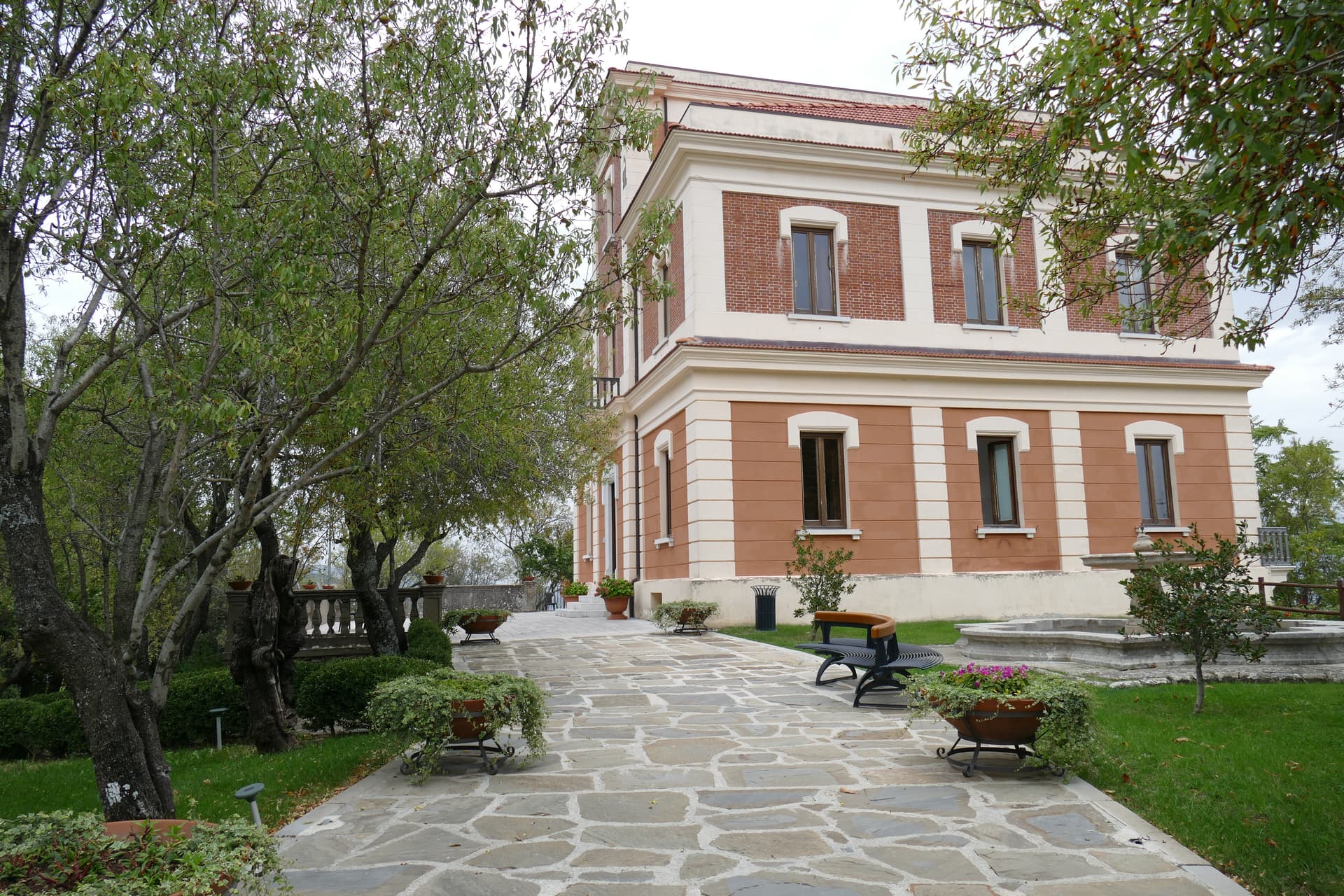
Viggiano
Province: Potenza · 975 m
A 975-meter Val d'Agri ridge town, home of the Black Madonna of Lucania and the Italian folk harp, on Europe's largest onshore oil field.
Calabria2
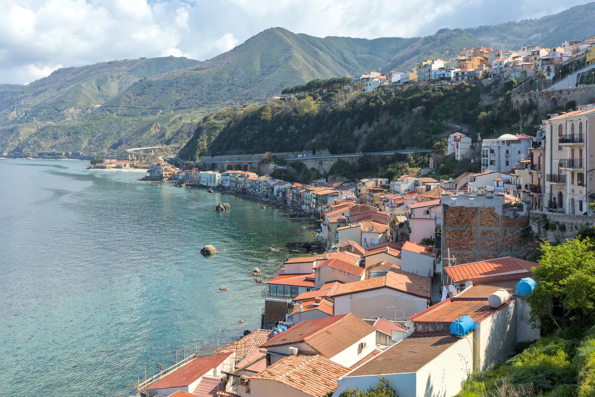
Scilla
Province: Reggio di Calabria · 91 m
Homer's sea-monster headland on the Costa Viola, the Castello Ruffo on the cliff above Chianalea and the swordfish boats working the Strait below.
Spezzano della Sila
Province: Cosenza · 800 m
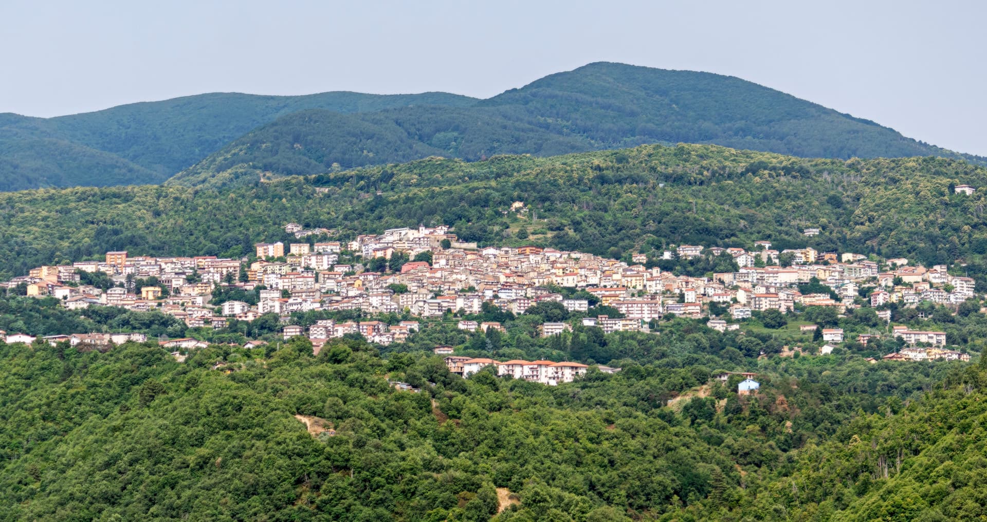
A Sila plateau borgo at 800 meters, the gateway to the national park and the Giants of the Sila above Lake Cecita.
Emilia-Romagna5
Bobbio
Province: Piacenza · 272 m
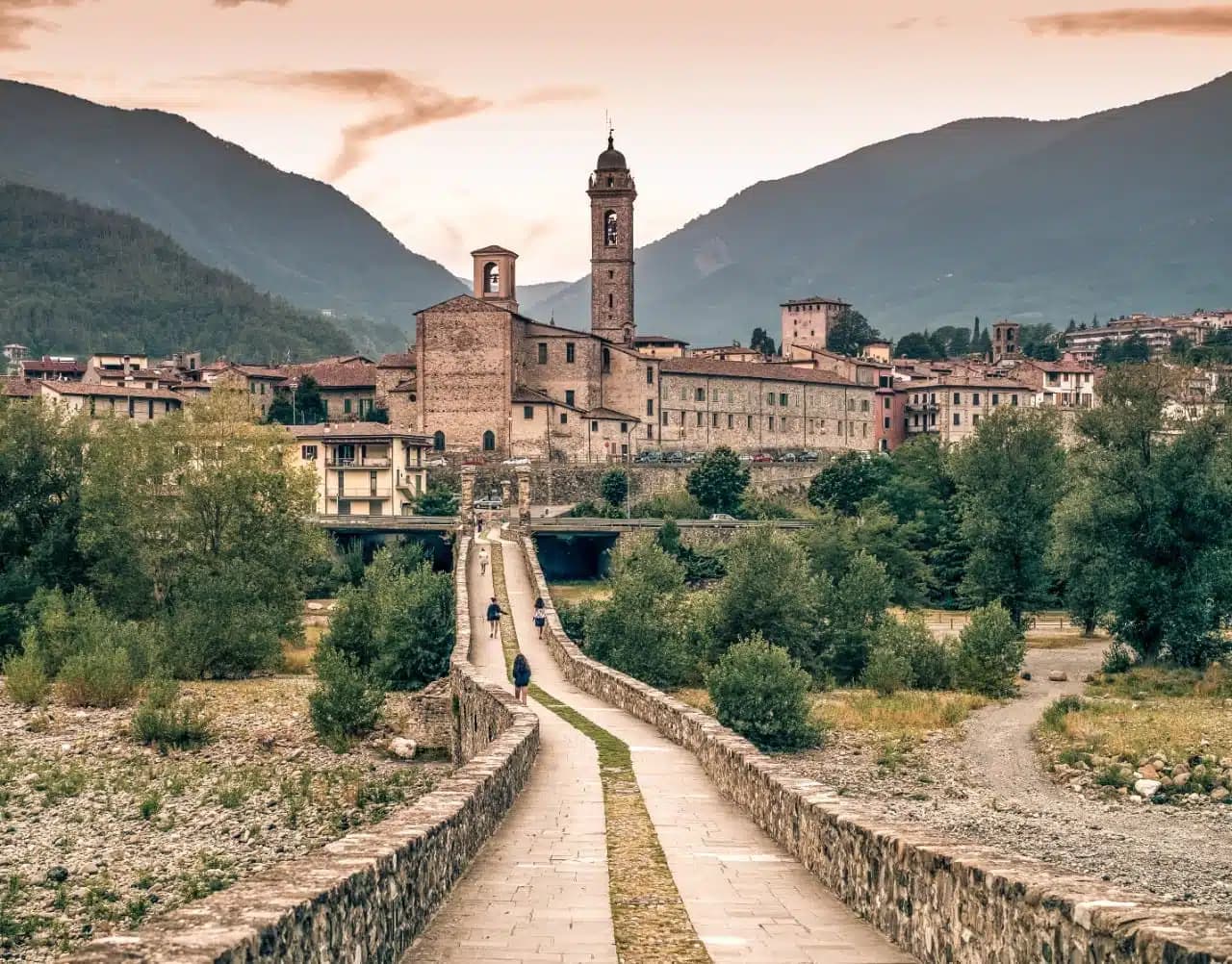
A 272-meter Trebbia-valley town built around the abbey Saint Columbanus founded in 614, named Borgo dei Borghi by RAI in 2019.
Corniglio
Province: Parma · 690 m
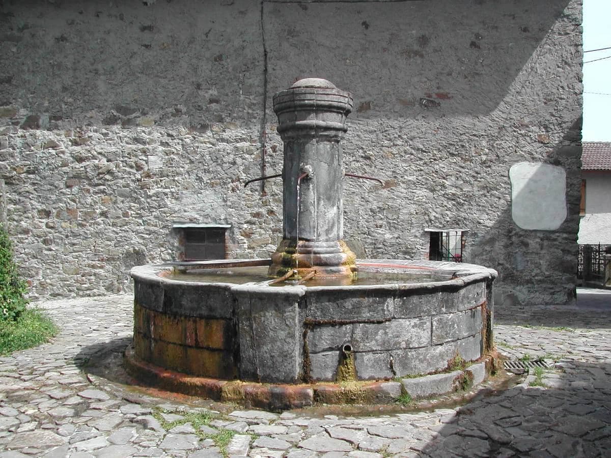
A 690-meter Parma-Apennine commune inside the Tosco-Emiliano park, with a thirteenth-century Rossi castle and the Lagdei plateau above.
Fanano
Province: Modena · 640 m
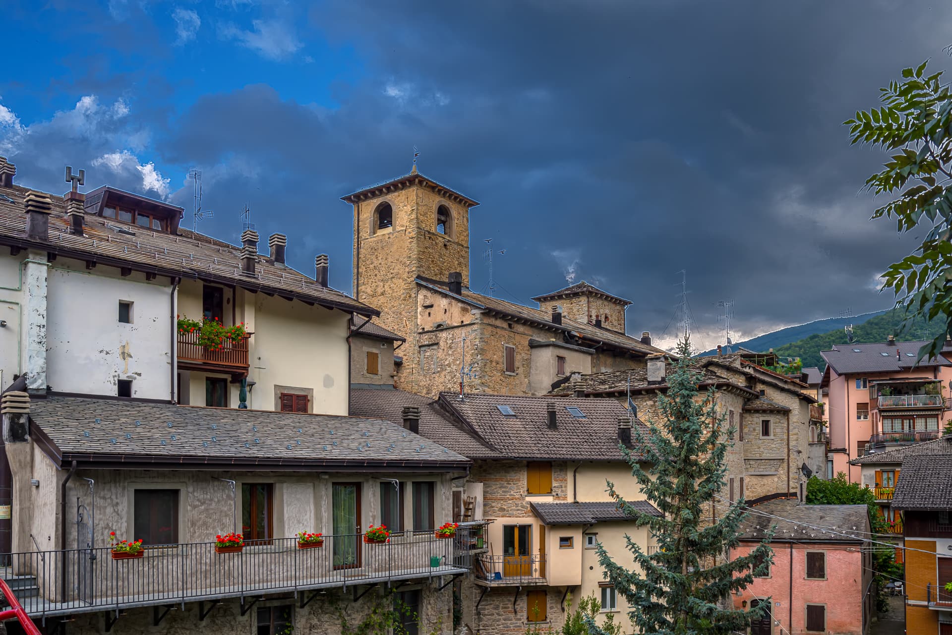
A 640-meter stone-working town in the Modenese Apennines, set among Monte Cimone, Libro Aperto and the upper Frignano peaks.
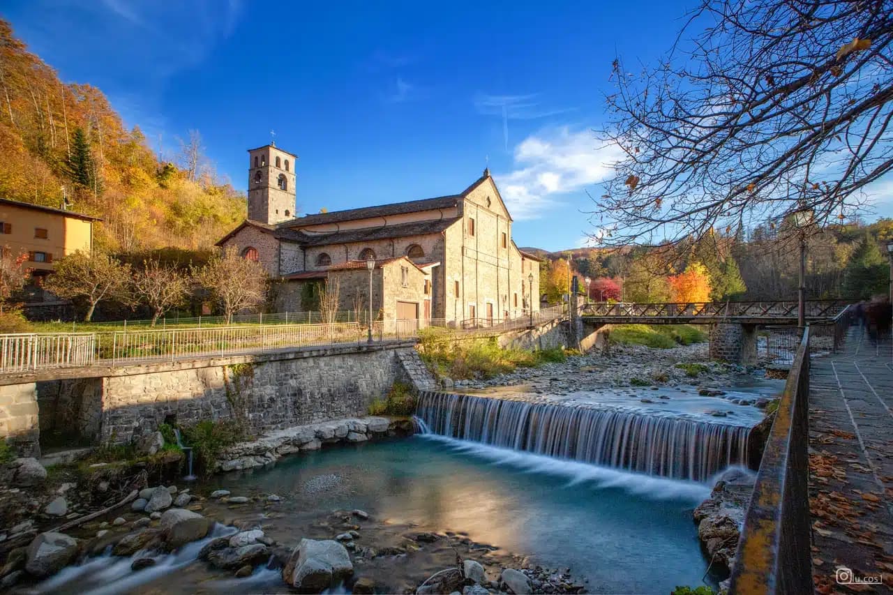
Fiumalbo
Province: Modena · 935 m
A 935-meter stone village in the Modenese Apennines on the Tuscan border, at the confluence of two rivers under Monte Cimone.
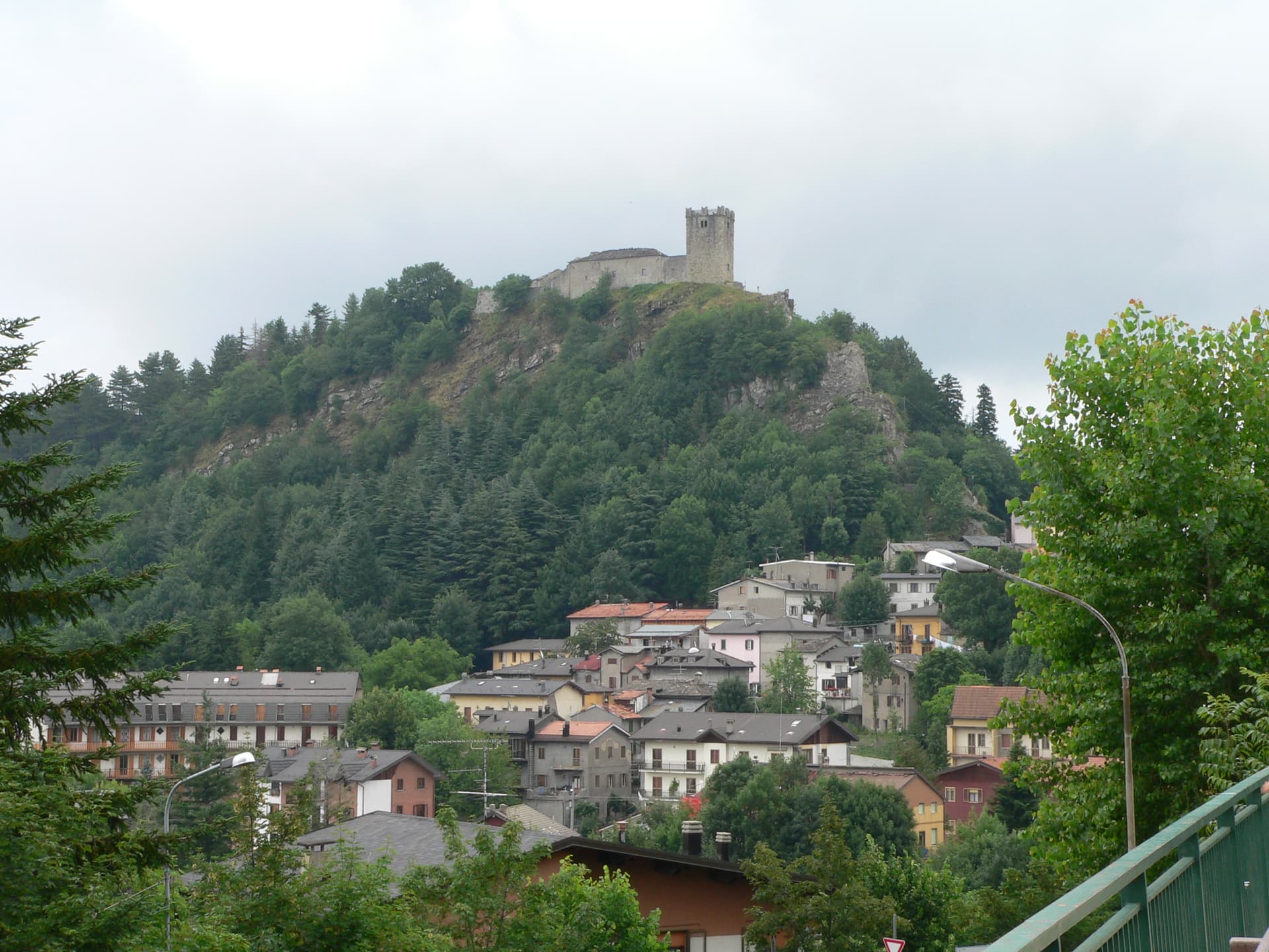
Sestola
Province: Modena · 1,020 m
A 1,020-meter Apennine town under Monte Cimone, with a Lombard-era castle above and the largest ski domain of central Italy on the slopes.
Friuli-Venezia Giulia2
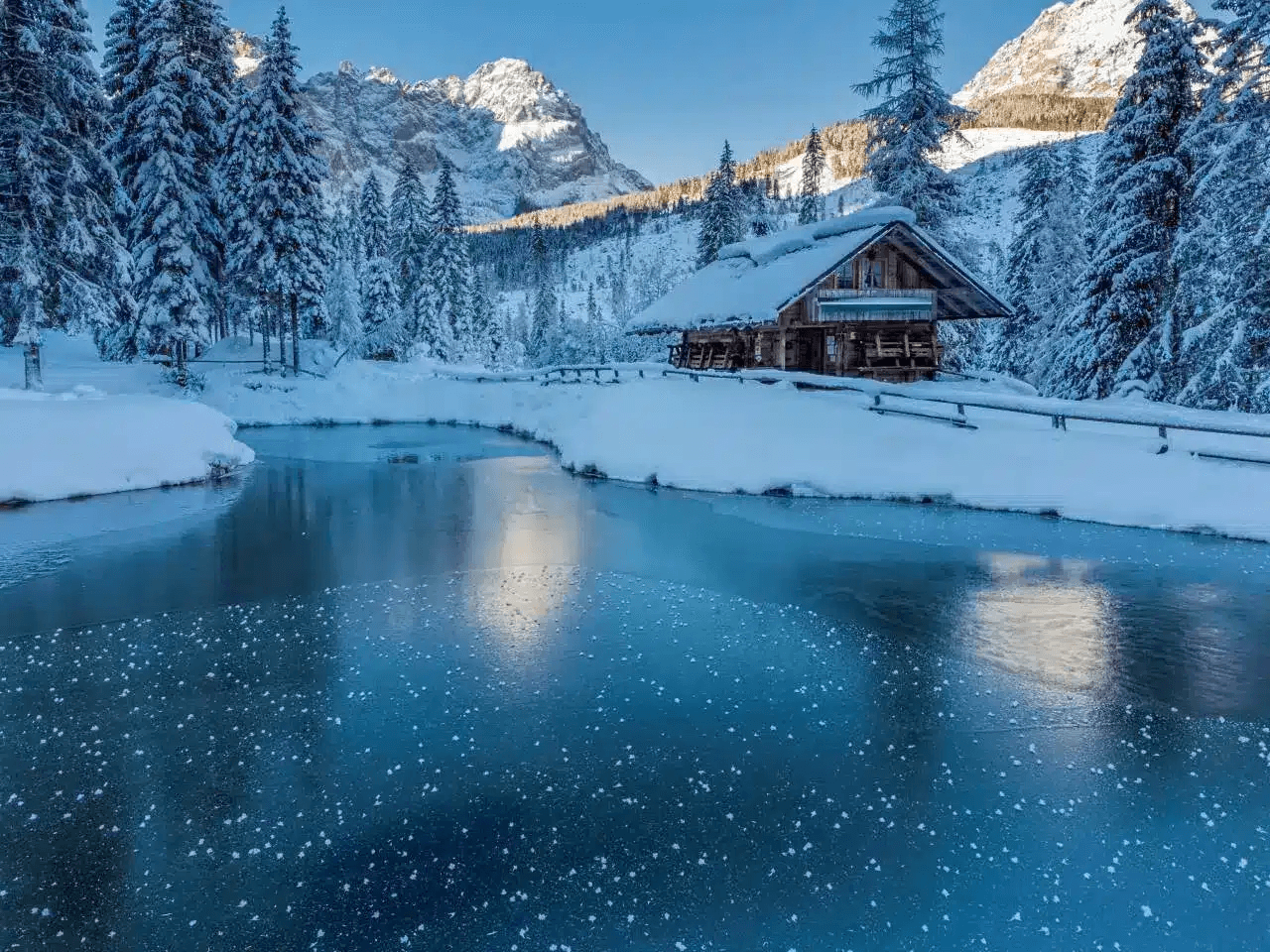
Sappada
Province: Udine · 1,250 m
A German-speaking alpine village at 1,250 meters near the source of the Piave, settled from East Tyrol in the eleventh century and Italian since 1852.
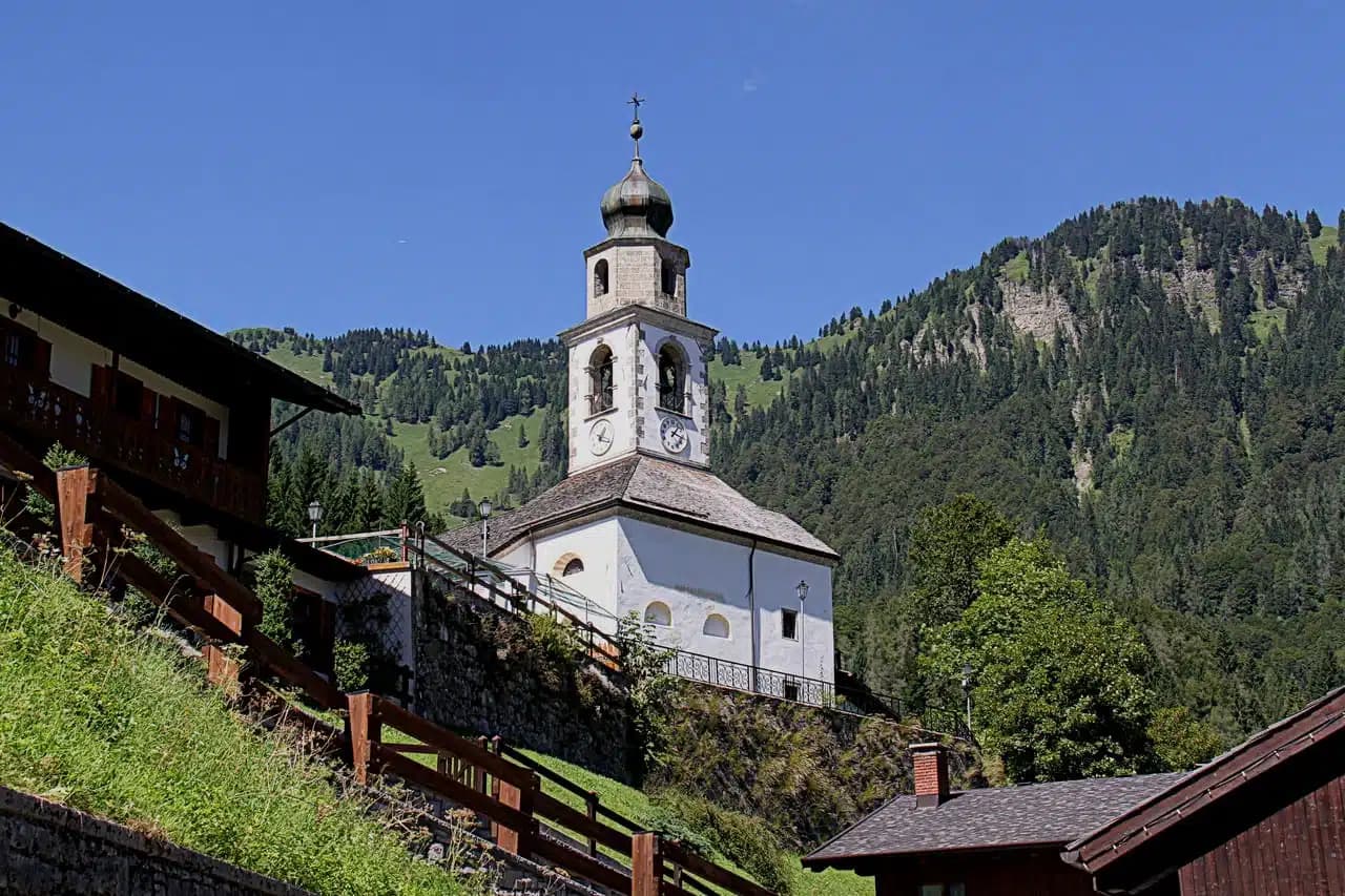
Sauris
Province: Udine · 1,212 m
A 1,212-meter German-speaking island in the Carnic Alps, second-highest commune in Friuli, where Tyrolean settlers founded the village around the thirteenth century.
Lazio2
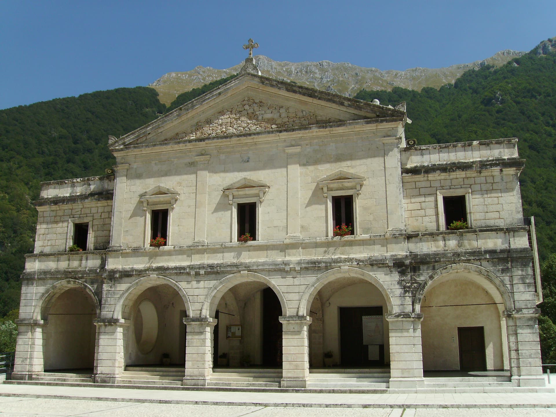
Picinisco
Province: Frosinone · 725 m
A medieval village at 725 meters above the Val di Comino, the source of much of Italo-Scottish emigration and of Pecorino di Picinisco DOP.
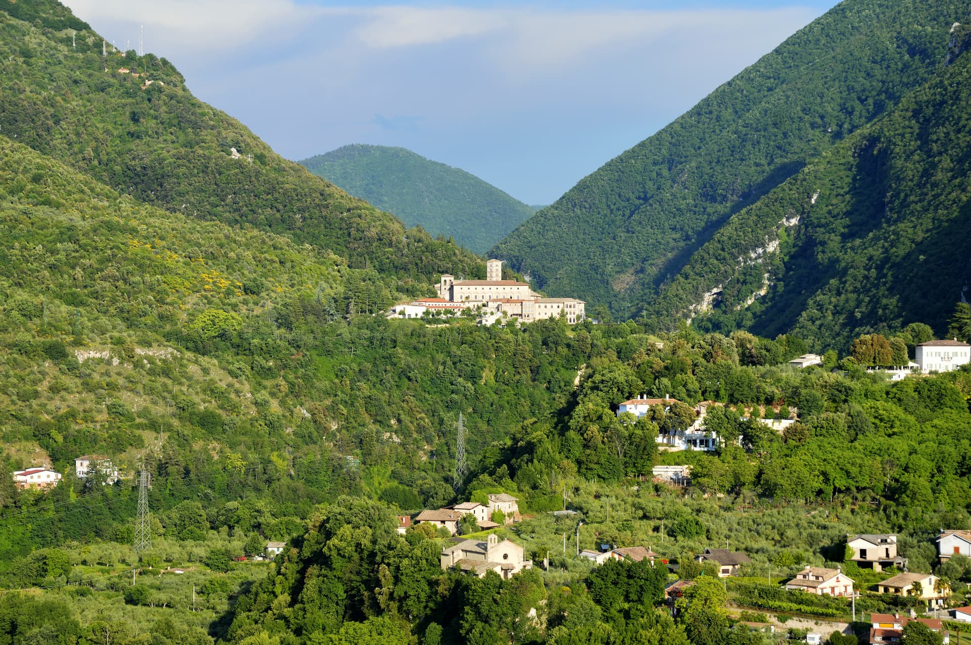
Subiaco
Province: Roma · 408 m
The Aniene valley town where Benedict spent three years in a cliff cave, and where Italy's first printed book appeared in 1465.
Liguria2
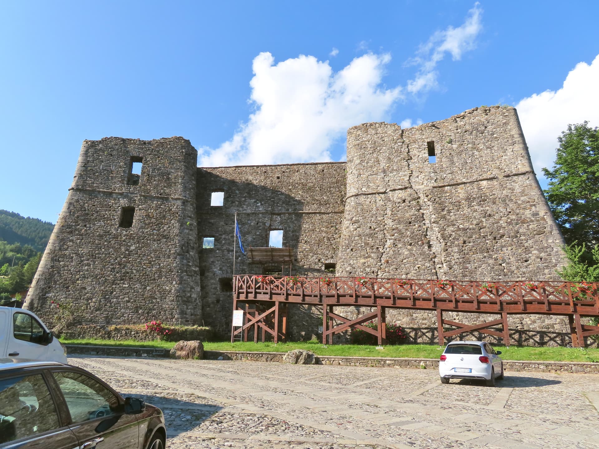
Santo Stefano d'Aveto
Province: Genova · 1,012 m
Liguria's highest commune at 1,012 meters in the Ligurian-Emilian Apennines, with a Malaspina-Doria castle and the only ski resort in the region.
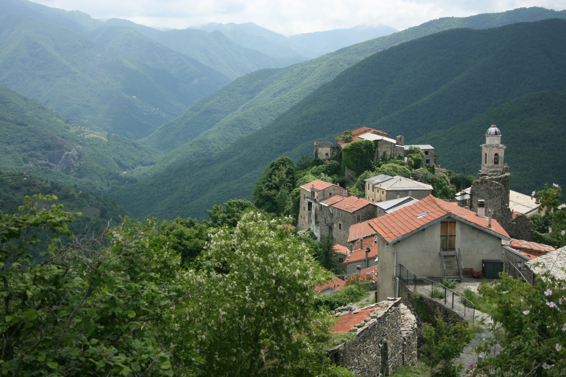
Triora
Province: Imperia · 776 m
The witches' village at 776 meters in the upper Valle Argentina, where the Inquisition put around 200 women on trial between 1587 and 1589.
Lombardy10
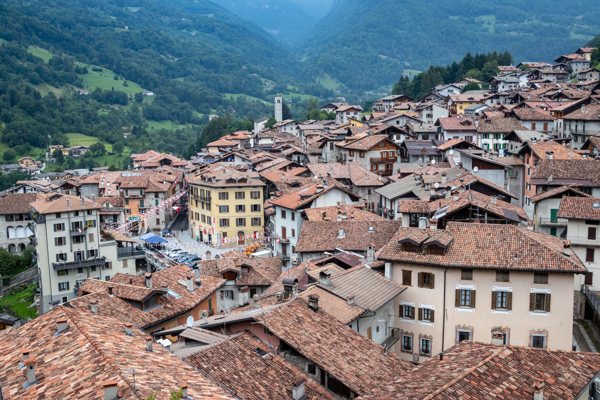
Bagolino
Province: Brescia · 778 m
A mountain village at 778 meters in the Valle del Caffaro, with a three-day February carnival of masked dancers and violins.
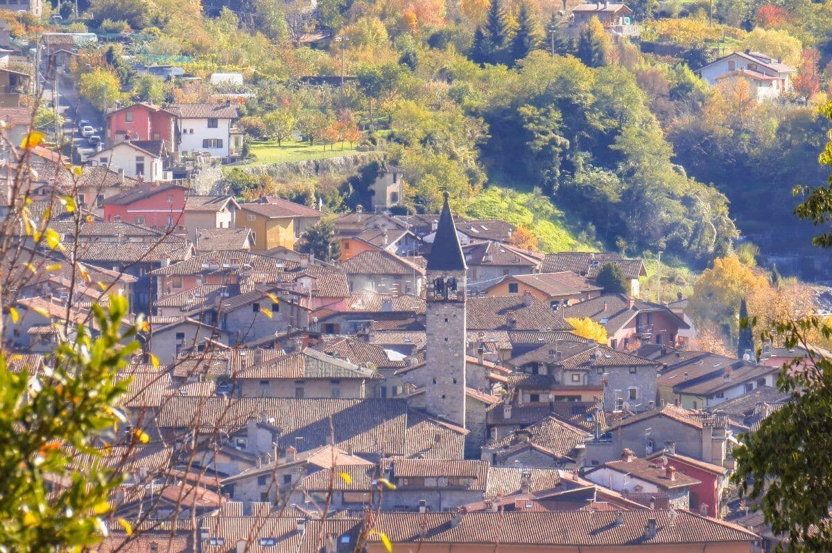
Bienno
Province: Brescia · 445 m
A medieval ironworking village in the Val Camonica, where water hammers driven by the Grigna stream have shaped wrought iron since the 1200s.
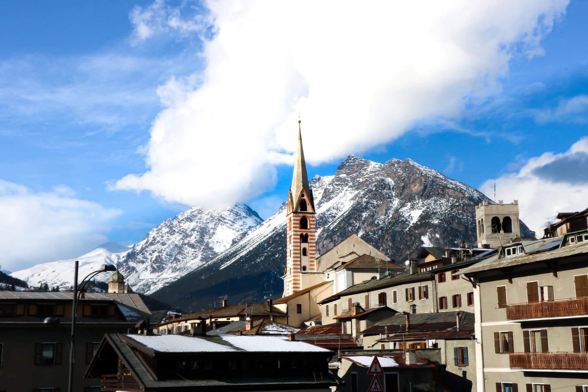
Bormio
Province: Sondrio · 1,225 m
An Alpine spa town at 1,225 meters where three high passes meet and Roman thermal water has fed the baths for two thousand years.
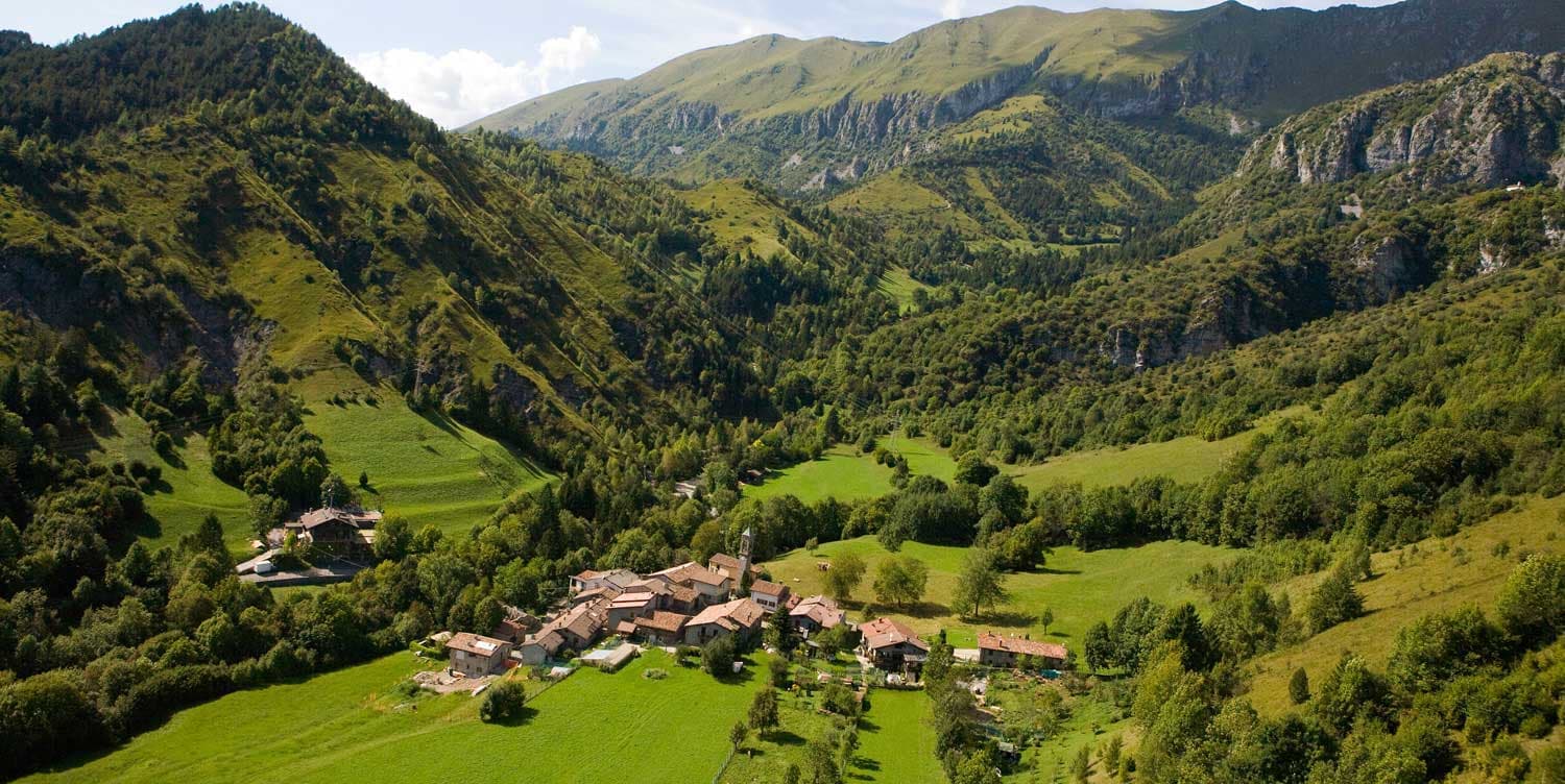
Castione della Presolana
Province: Bergamo · 870 m
A high-valley commune at 870 meters under the Pizzo della Presolana, the limestone peak the Bergamasque call the Queen of the Orobie.
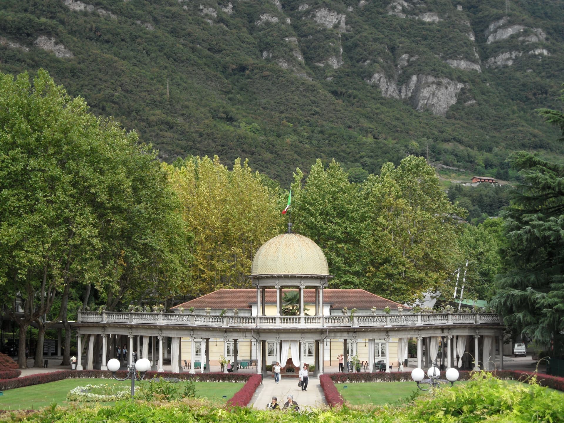
Darfo Boario Terme
Province: Brescia · 218 m
At the mouth of the Valle Camonica, an Art Nouveau spa town next to one of the first UNESCO rock-engraving sites in Italy.
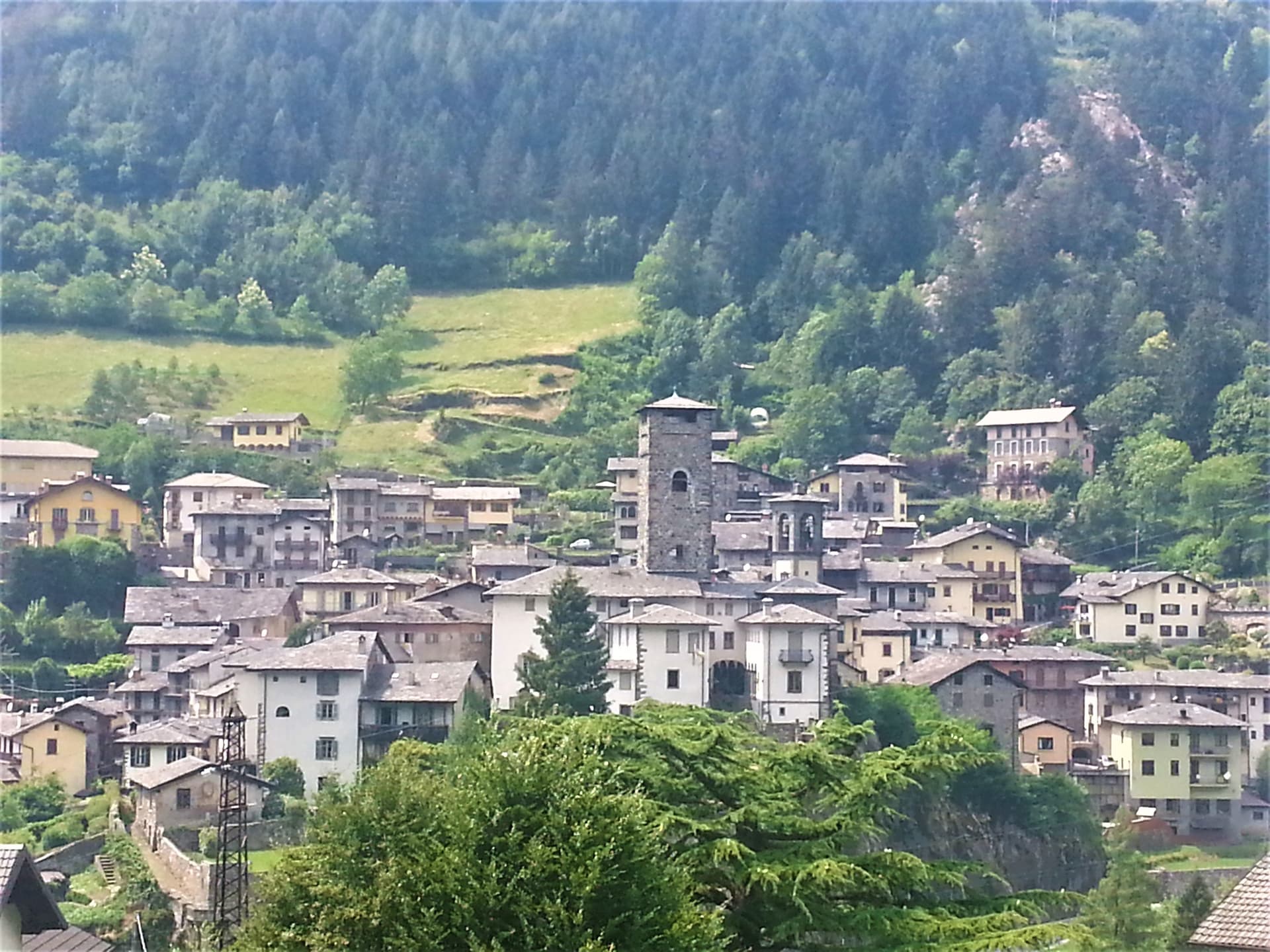
Gromo
Province: Bergamo · 676 m
A medieval iron-forging town at 676 meters on a rock spur above the Serio, once called the little Toledo for its sword smiths.
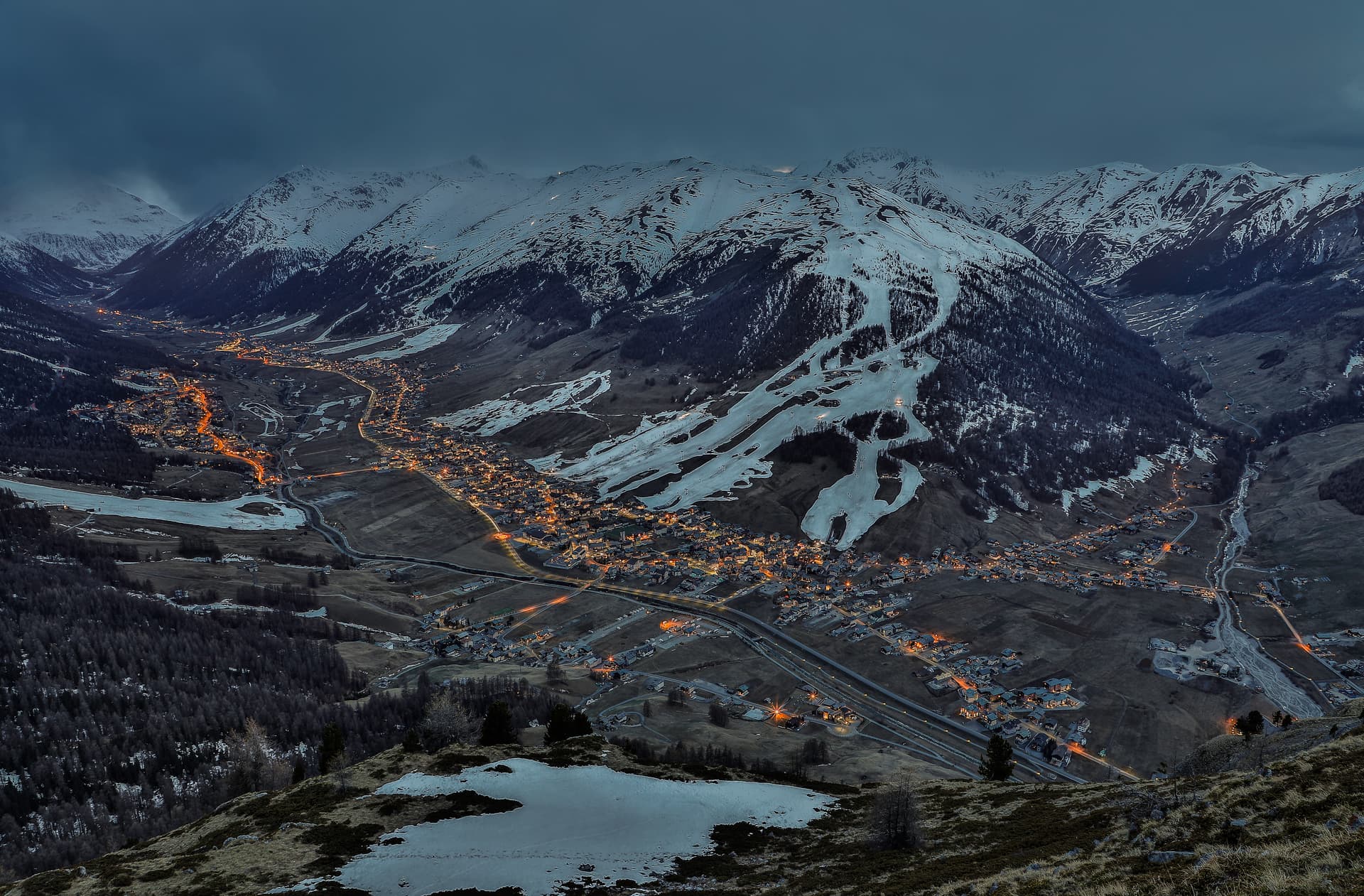
Livigno
Province: Sondrio · 1,816 m
At 1,816 meters in the Italian Alps near the Swiss border, a duty-free ski valley that drains north into the Black Sea, not the Mediterranean.
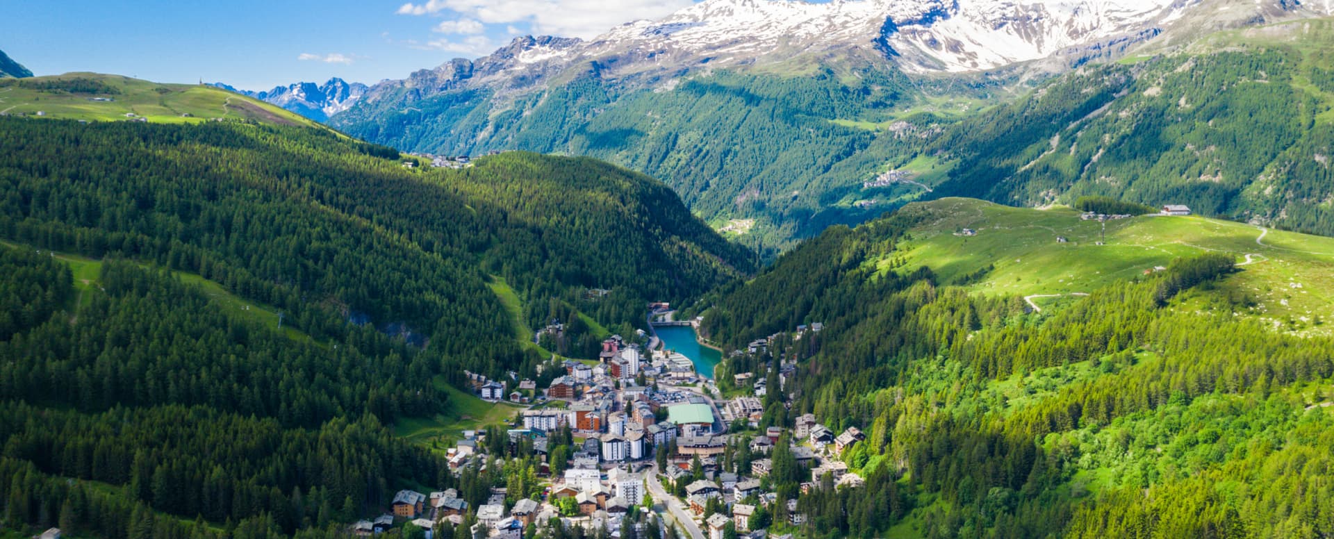
Madesimo
Province: Sondrio · 1,550 m
A ski village at 1,550 meters at the head of Valle Spluga, with lifts to 2,880 meters and the Canalone off-piste descent.
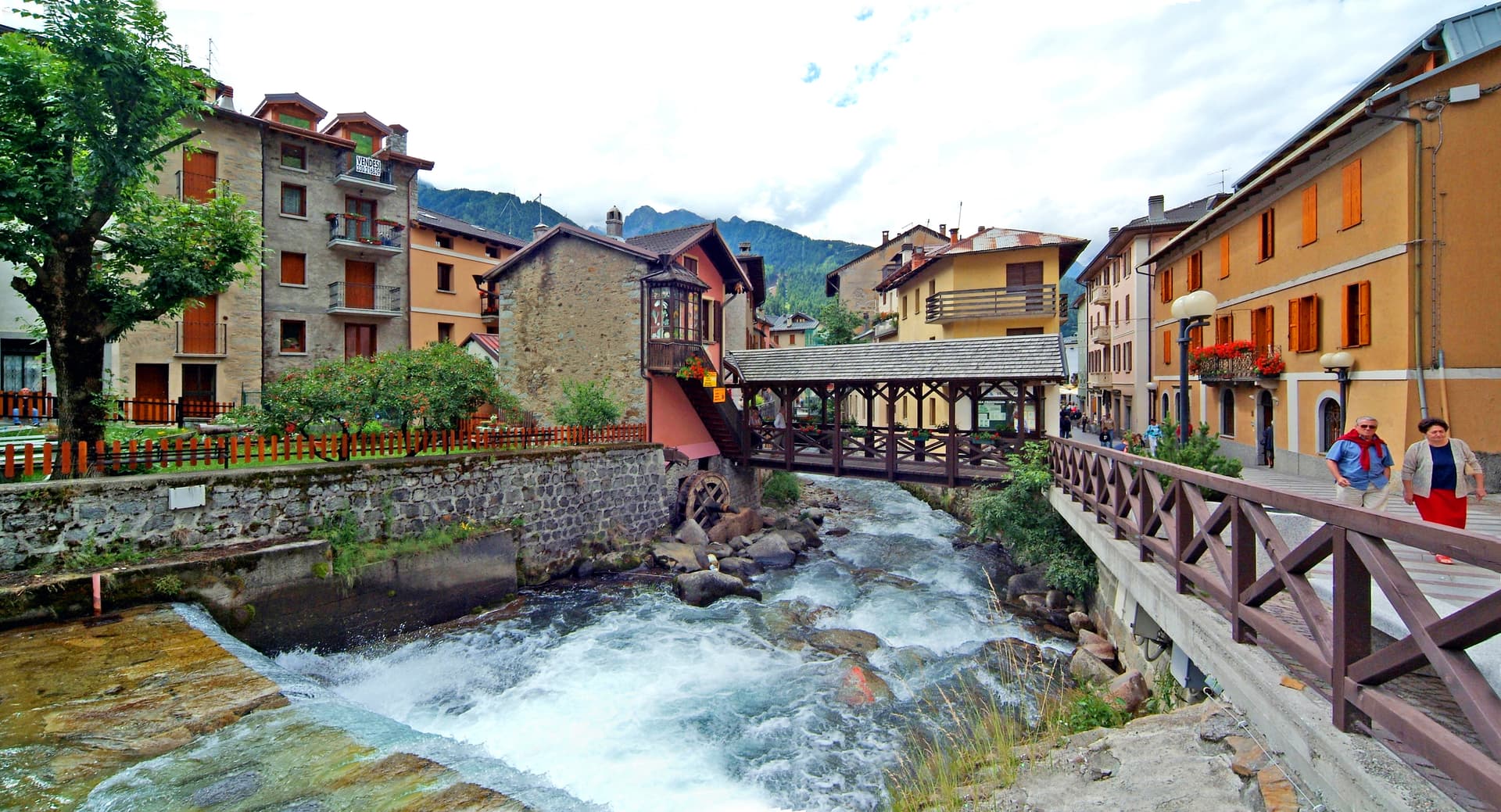
Ponte di Legno
Province: Brescia · 1,257 m
The uppermost commune of Valle Camonica at 1,257 meters, where the two source streams of the Oglio meet under the Adamello range.
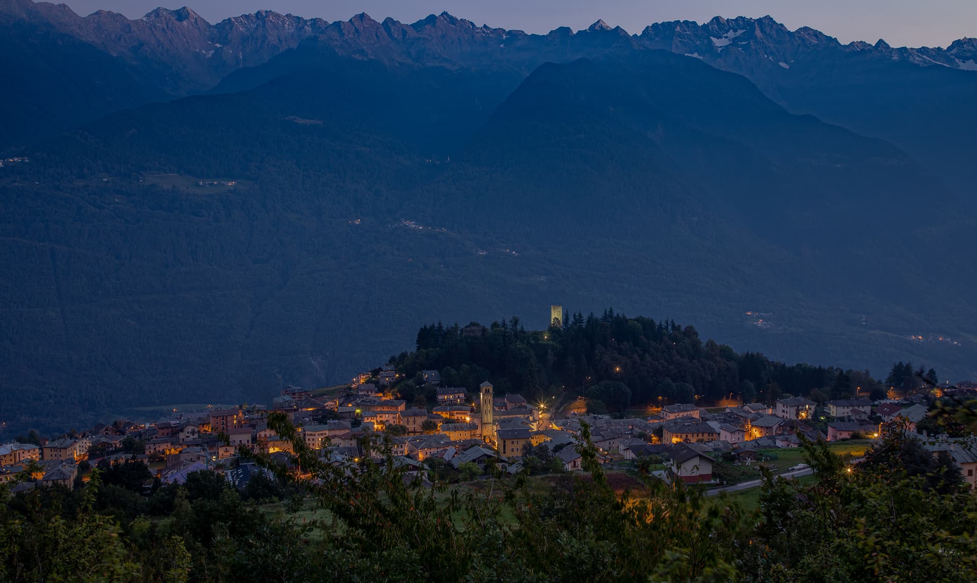
Teglio
Province: Sondrio · 856 m
A Valtellina hilltown at 856 metres that gave its name to the whole valley (Vallis Tellina = Val di Teglio), home of the Renaissance Palazzo Besta with its frescoed Italian-Renaissance cycles, and the official birthplace of pizzoccheri pasta — recognised by the Accademia del Pizzocchero.
Marche2
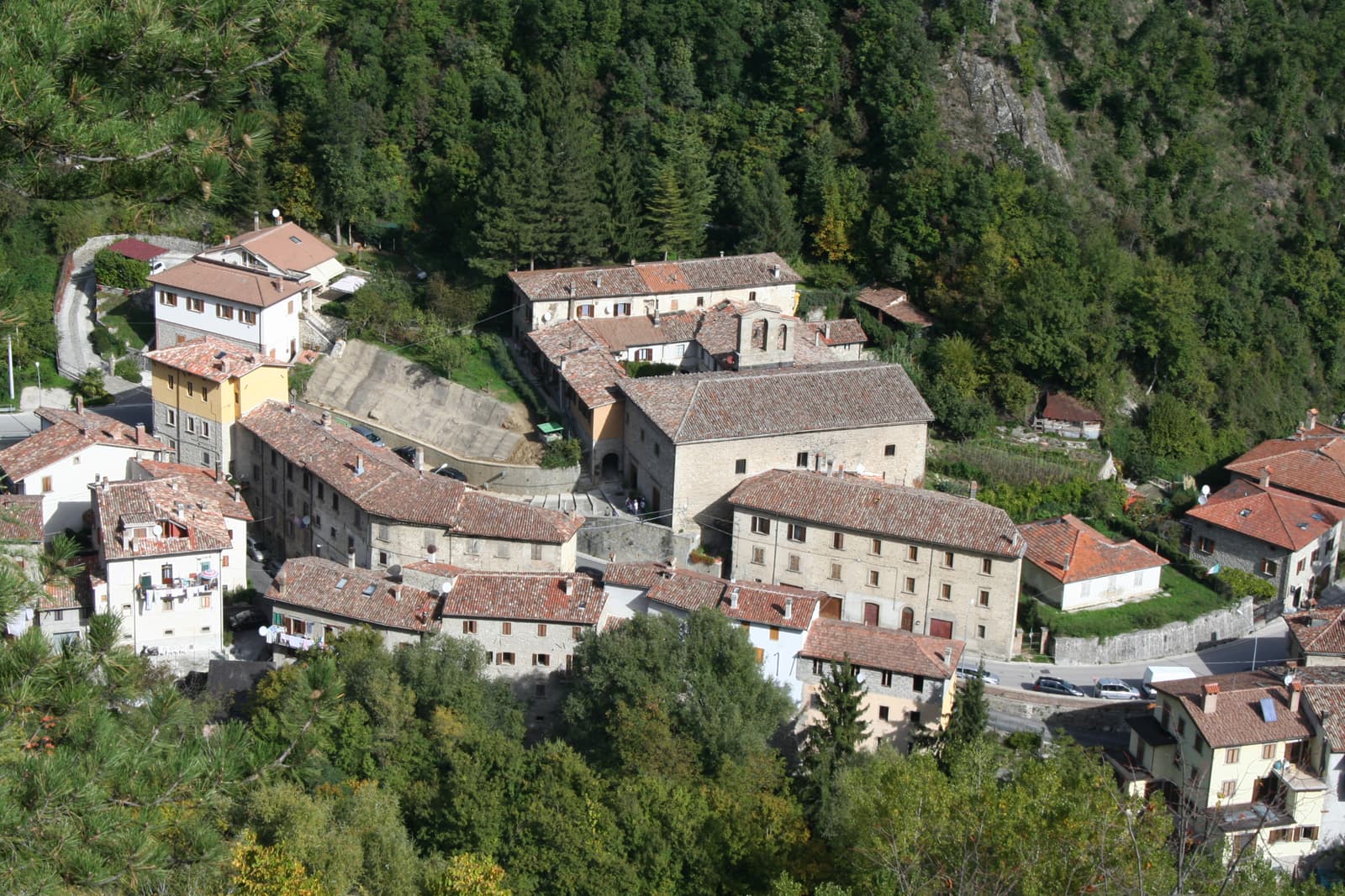
Arquata del Tronto
Province: Ascoli Piceno · 777 m
At 777 meters between two national parks, the Marche commune levelled by the 2016 earthquakes and still rebuilding nine years on.
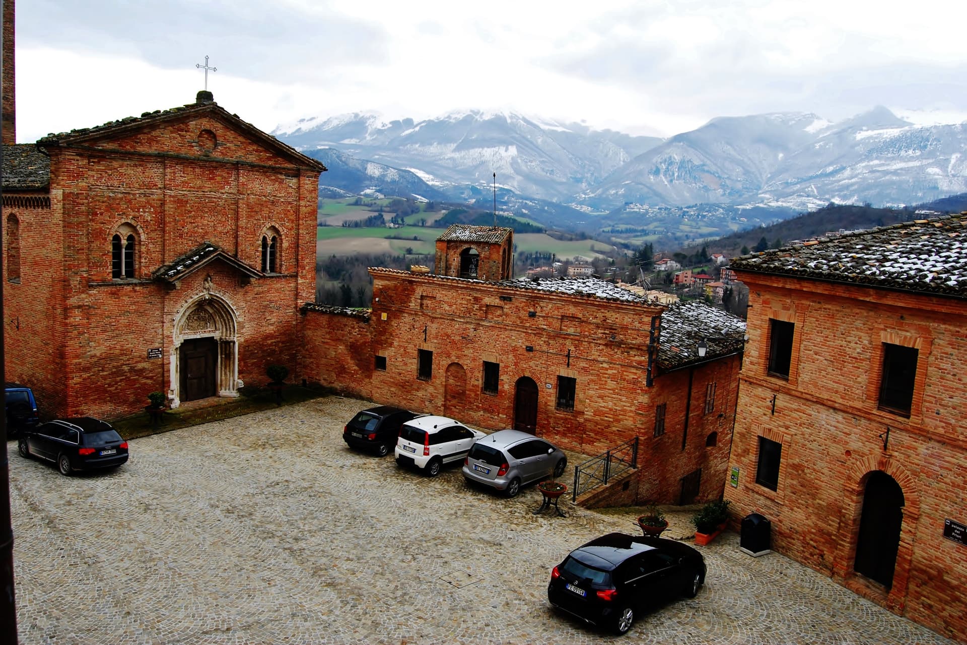
Sarnano
Province: Macerata · 539 m
A 539-meter medieval borgo of baked brick at the foot of the Sibillini, with thermal springs that ran for 84 years until the 2016 earthquake.
Molise2
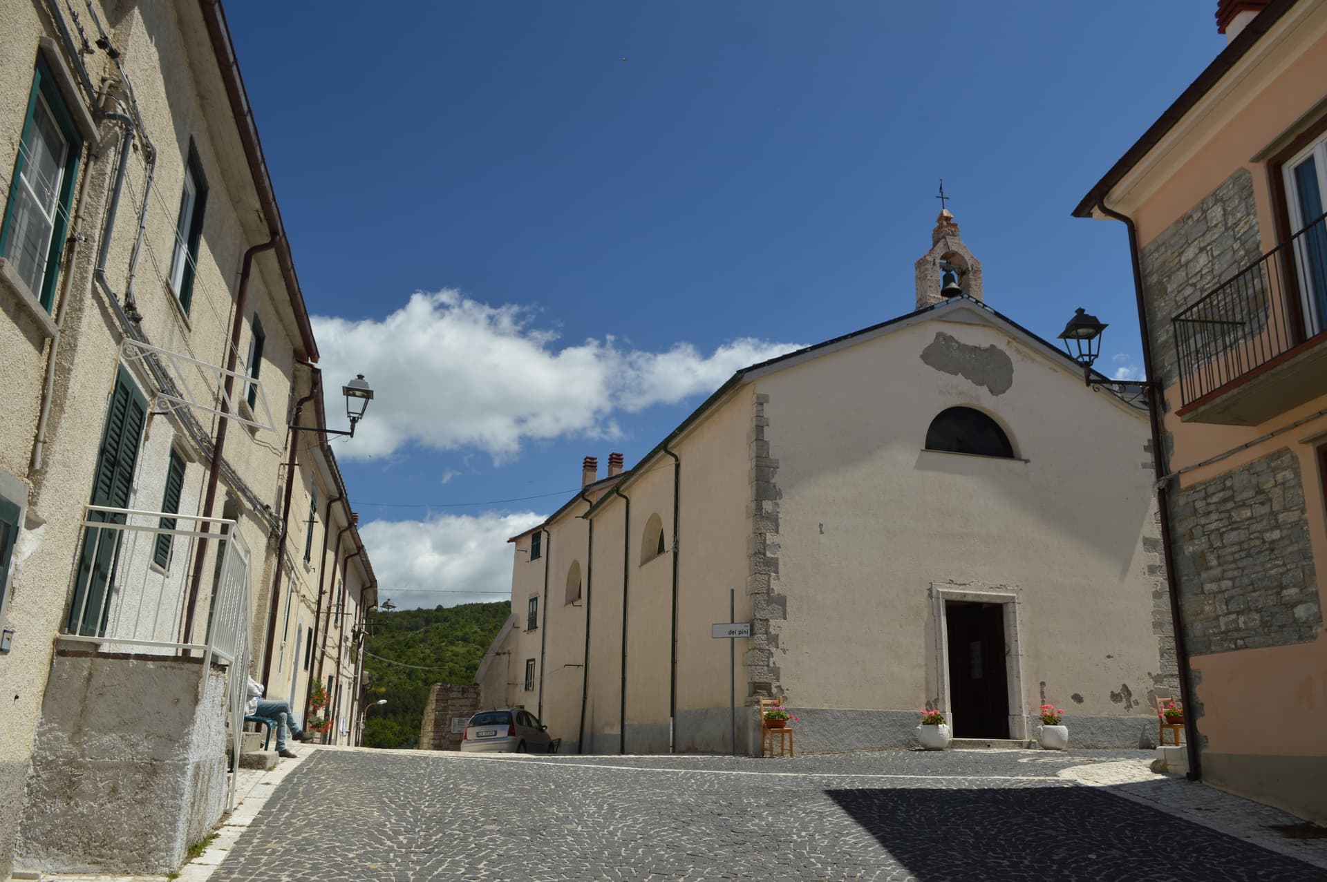
Capracotta
Province: Isernia · 1,421 m
At 1,421 meters the second-highest commune in central Italy, holder of the world record for snowfall in 24 hours: 2.56 meters on 5 March 2015.
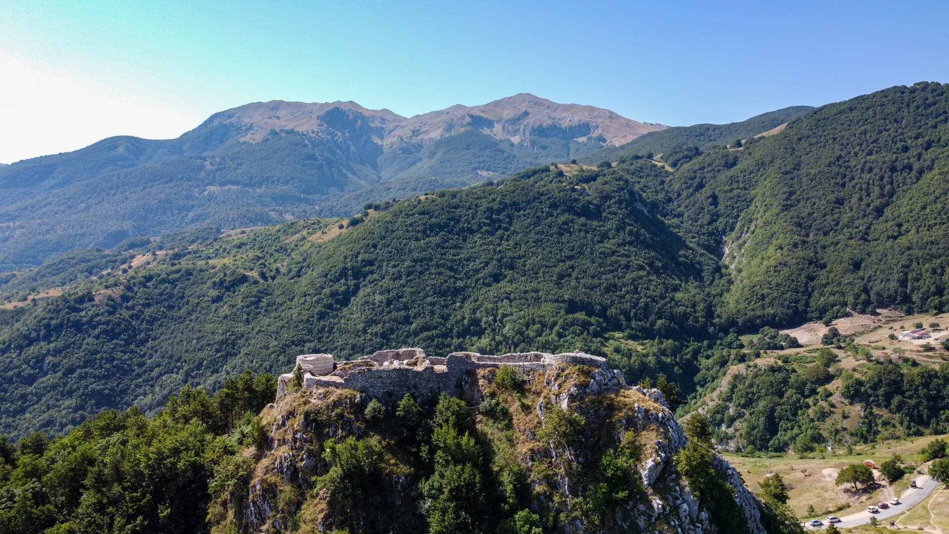
Roccamandolfi
Province: Isernia · 850 m
At 850 meters at the foot of Monte Miletto, a Matese village of brigand legends, Lombard ruins, and a Tibetan bridge over the Callora canyon.
Piedmont8
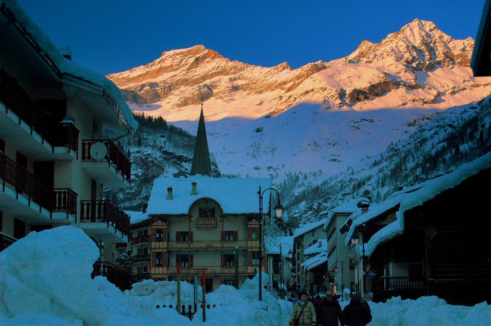
Alagna Valsesia
Province: Vercelli · 1,191 m
A Walser village at 1,191 meters under Monte Rosa, settled from the Swiss Valais in the 13th century and known to off-piste skiers worldwide.
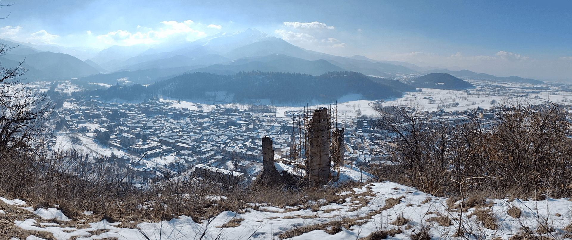
Chiusa di Pesio
Province: Cuneo · 575 m
The valley mouth town at 575 meters where the Pesio leaves the Ligurian Alps, founded around a Carthusian monastery donated in 1173.
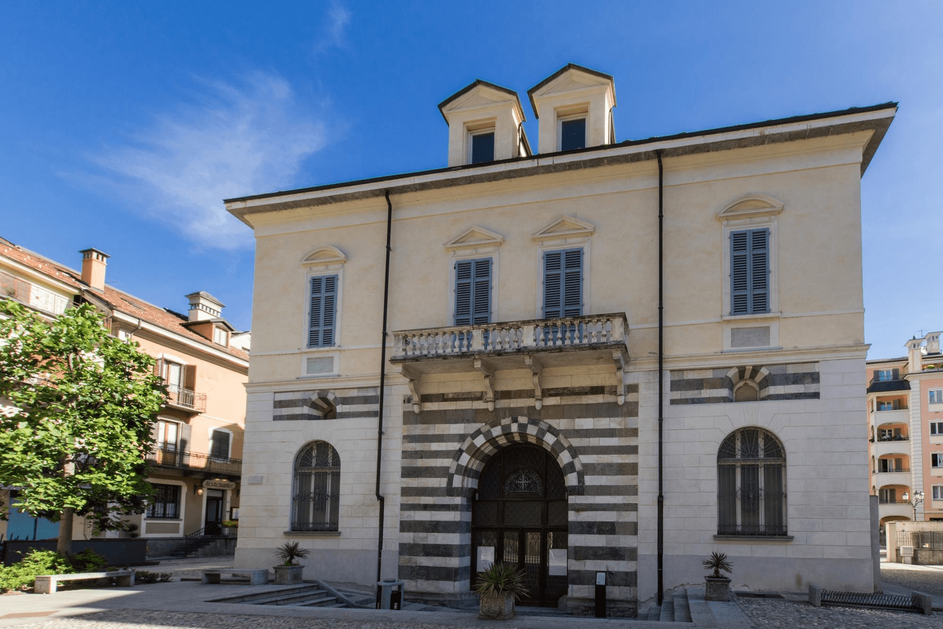
Domodossola
Province: Verbano-Cusio-Ossola · 272 m
The Ossola capital at 272 meters at the foot of the Simplon Pass, with a UNESCO Sacro Monte on the hill above.
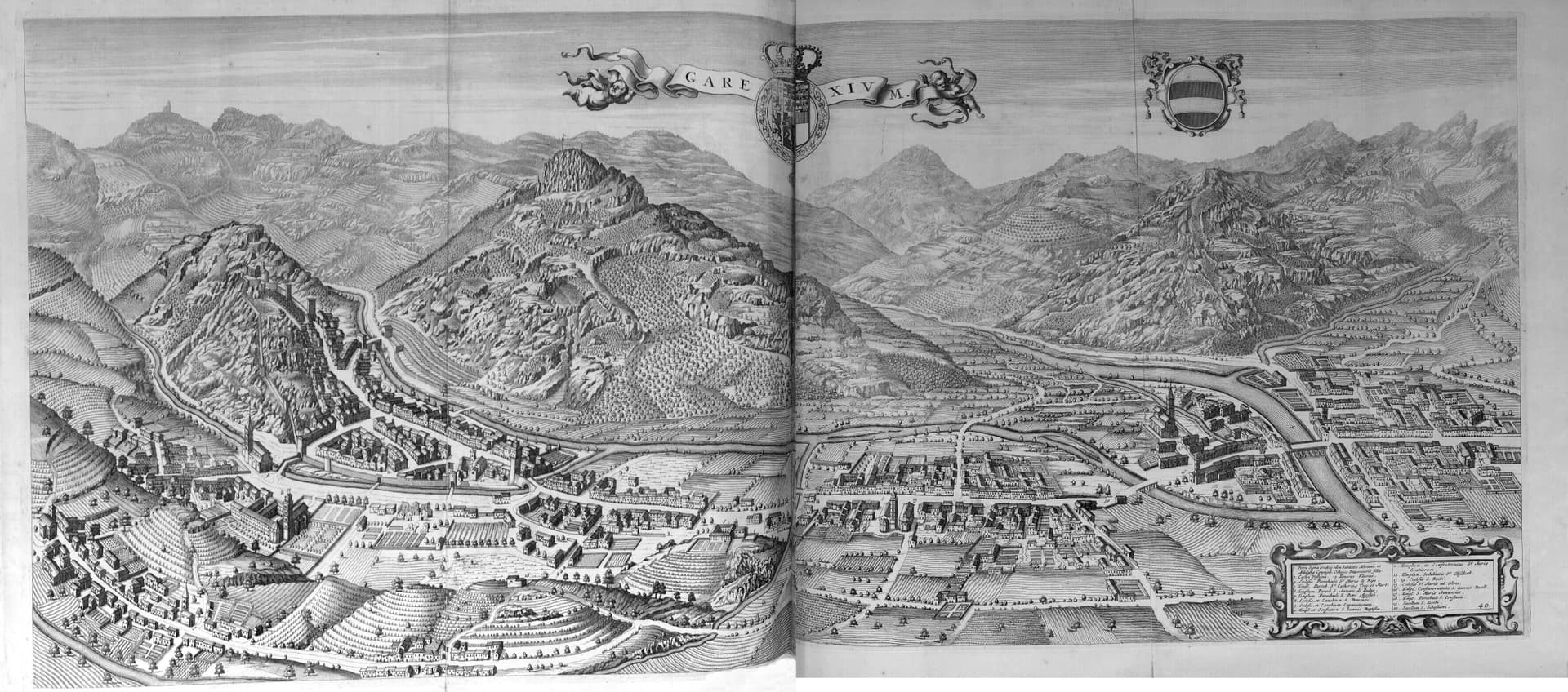
Garessio
Province: Cuneo · 621 m
A four-borgo medieval town at 621 meters on the Liguria-Piemonte border, built on the salt road and the source of the Acqua San Bernardo.
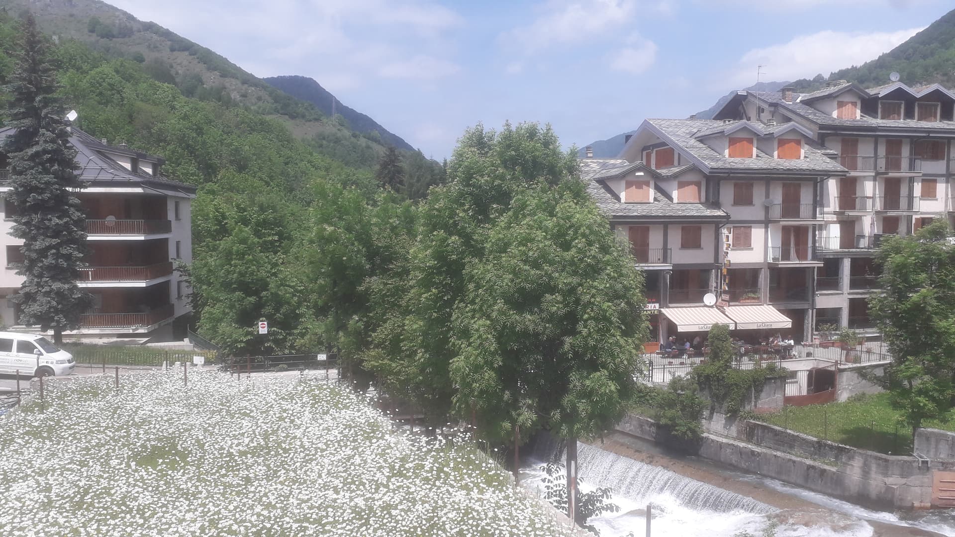
Limone Piemonte
Province: Cuneo · 1,000 m
A ski village at 1,000 meters in the Vermenagna valley, the southern end of the Alps where the Tenda tunnel drops toward the Côte d'Azur.
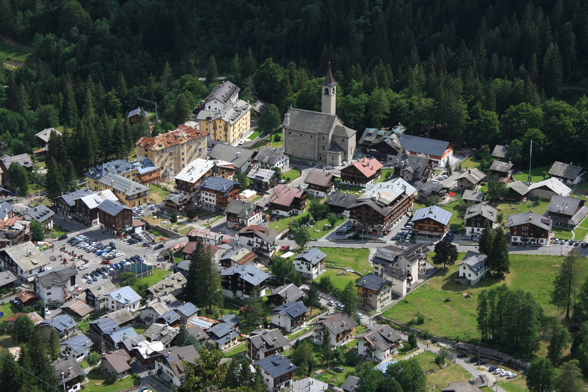
Macugnaga
Province: Verbano-Cusio-Ossola · 1,327 m
A Walser village at 1,327 meters at the foot of the east wall of Monte Rosa, founded in the 13th century by colonists from Valais.
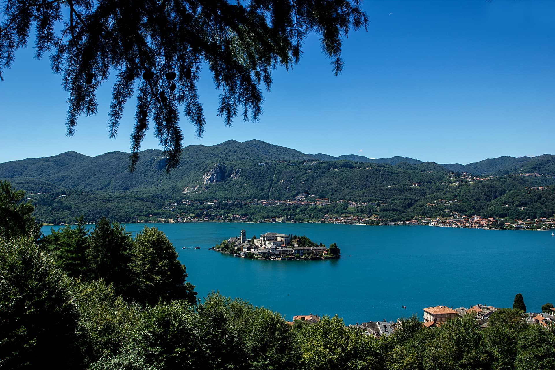
Omegna
Province: Verbano-Cusio-Ossola · 295 m
The Lake Orta town at 295 meters where Bialetti, Lagostina and Alessi turned a steel valley into Italy's household-goods capital.
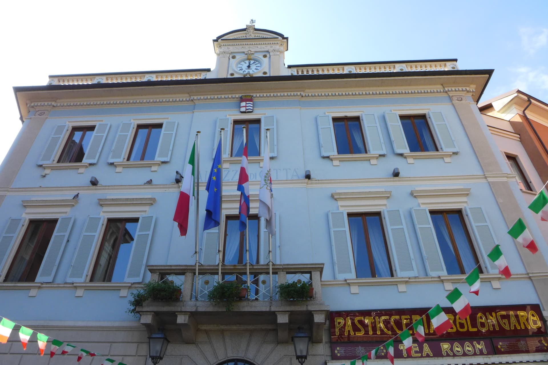
Stresa
Province: Verbano-Cusio-Ossola · 200 m
A Lake Maggiore resort town at 200 meters facing the Borromean Islands, grand-hotel waterfront and home of the Settimane Musicali since 1962.
Sicily2
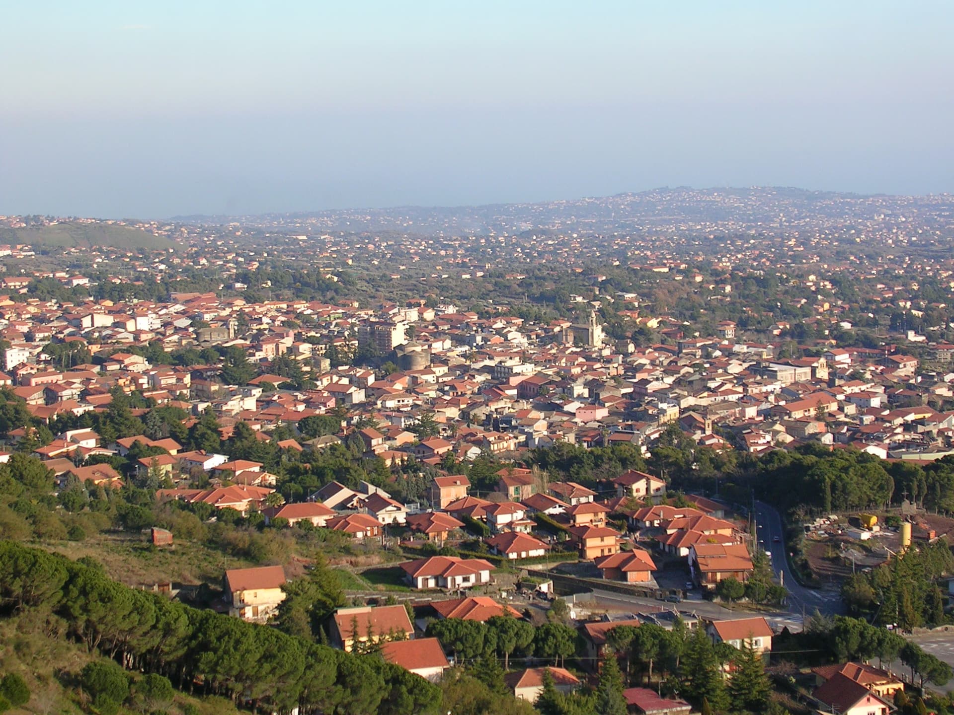
Nicolosi
Province: Catania · 698 m
The southern gateway to Etna at 698 meters, twice destroyed by the 1669 eruption, base camp for the volcano cable car at Rifugio Sapienza.
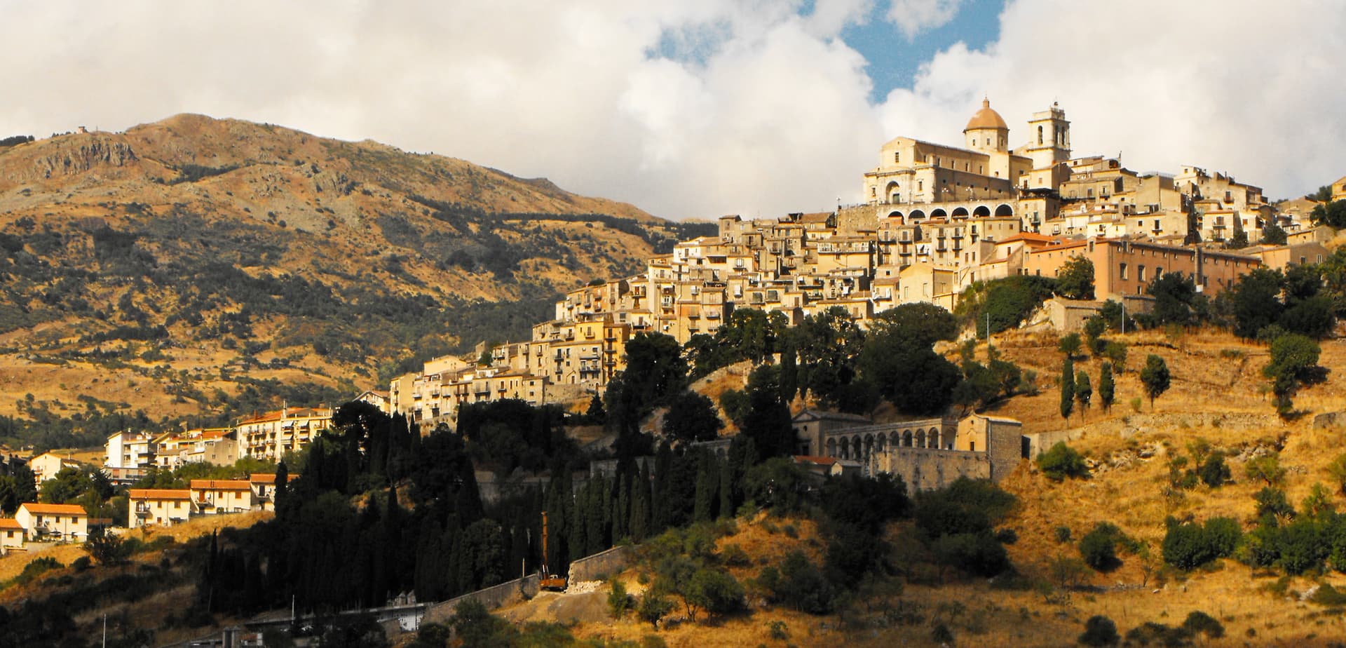
Petralia Sottana
Province: Palermo · 1,000 m
A Madonie village at 1,000 meters, the only Bandiera Arancione in Sicily, and the headquarters of the Parco delle Madonie.
Trentino-Alto Adige/Südtirol19
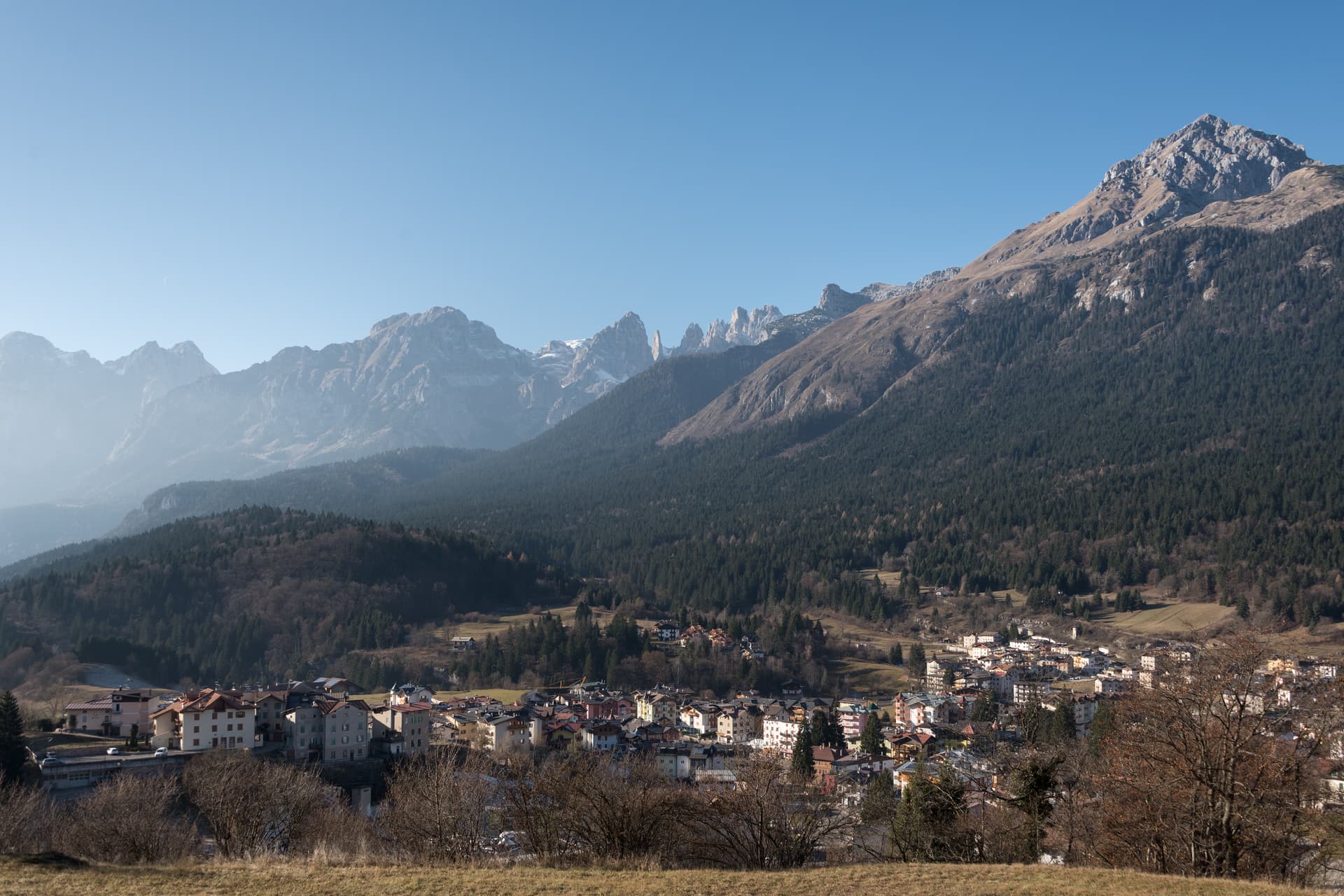
Andalo
Province: Trento · 1,042 m
An alpine pass at 1,042 metres on the Paganella plateau, with the Brenta Dolomites on one side and a periodic lake that empties and refills.
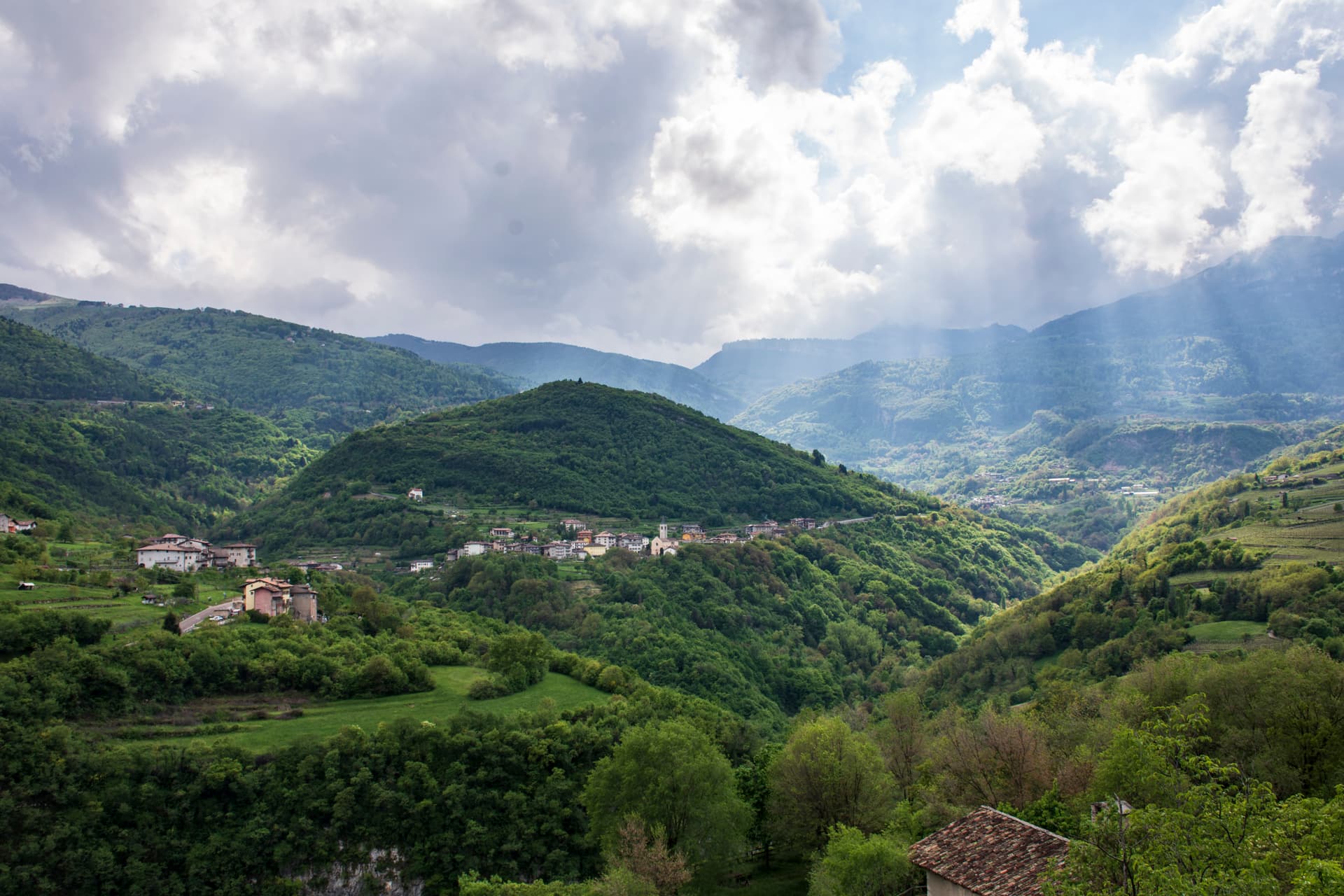
Brentonico
Province: Trento · 692 m
The Monte Baldo plateau town between Lake Garda and the Vallagarina, with chestnut groves, war trenches and a botanical garden of the Garden of Italy.
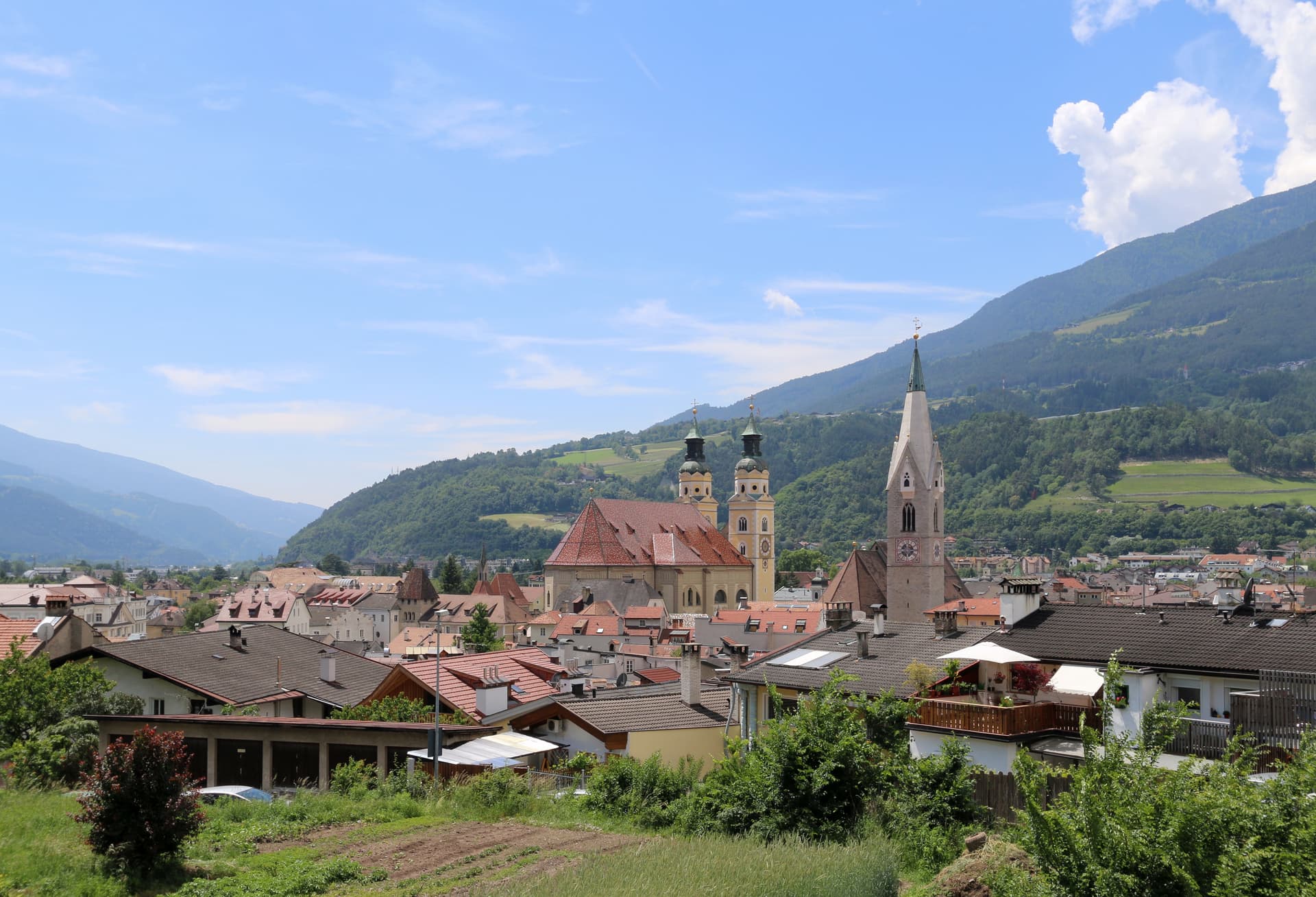
Bressanone
Province: Bolzano · 560 m
The oldest town in Tyrol, a prince-bishopric for eight centuries at the confluence of the Eisack and Rienz, below the Plose ridge.
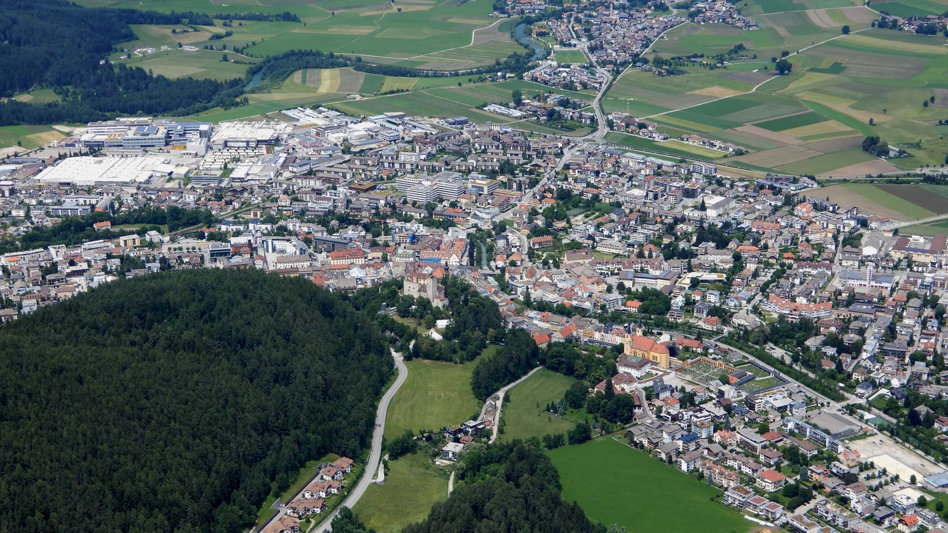
Brunico
Province: Bolzano · 838 m
The largest town of the Pustertal at 838 metres, built around the prince-bishop's castle and the Stadtgasse, with Plan de Corones rising above the valley.
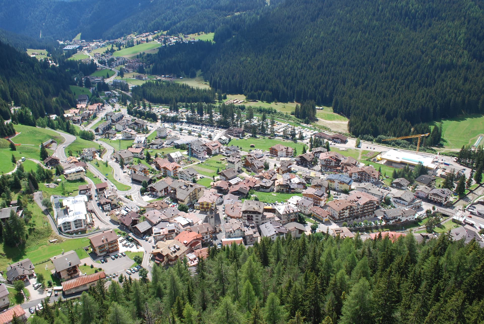
Canazei
Province: Trento · 1,465 m
A Ladin village at 1,465 metres at the head of Val di Fassa, ringed by Marmolada, Sella and Sassolungo and the Sellaronda circuit.
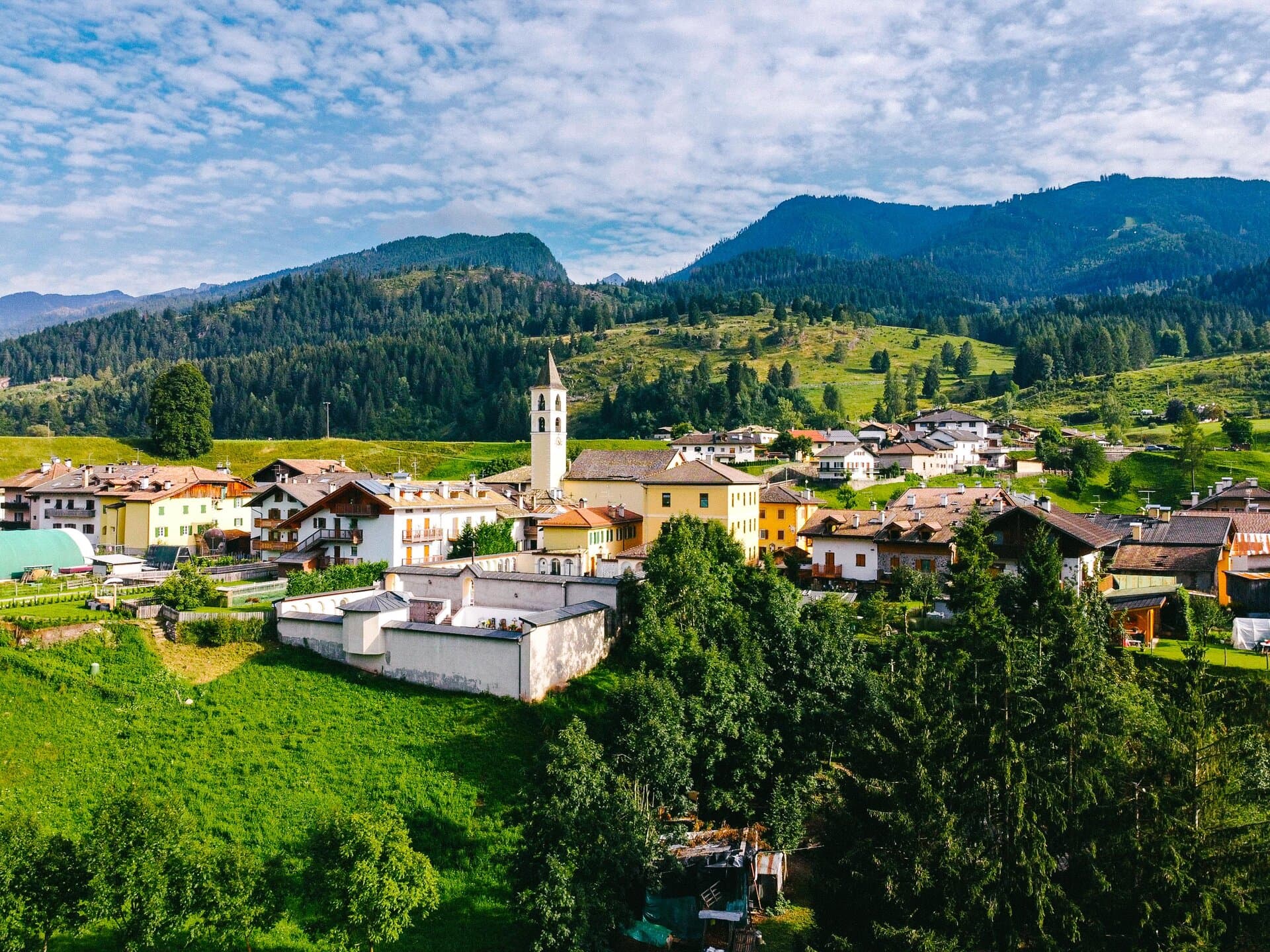
Cavalese
Province: Trento · 1,000 m
The capital of Val di Fiemme at 1,000 metres, seat of the Magnifica Comunità since 1111 and its open-air Banco della Reson parliament.
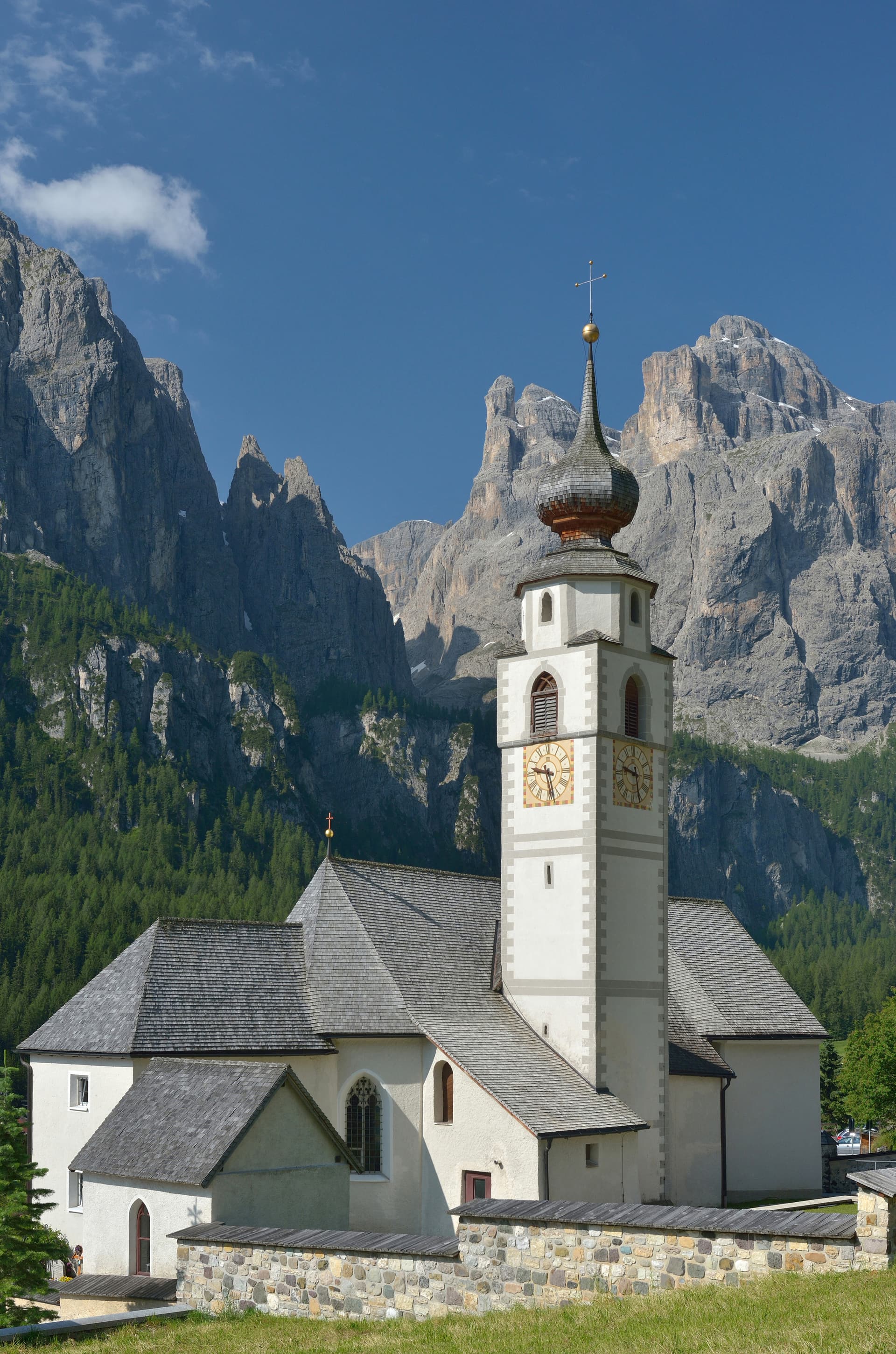
Corvara in Badia
Province: Bolzano · 1,568 m
The Ladin centre of Alta Badia at 1,568 metres, at the foot of the Sassongher, on the four-pass Sellaronda ski circuit.
Innichen
Province: Bolzano · 1,175 m
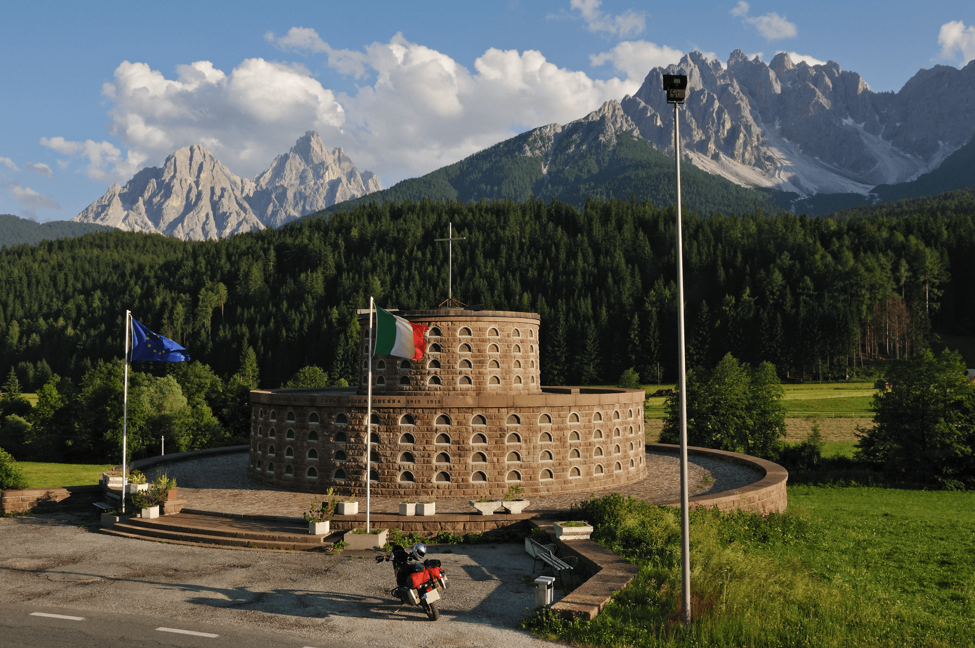
An Alta Pusteria town at 1,175 metres on the Austrian border, with the most important Romanesque church in the Eastern Alps and the Drei Zinnen rising thirty kilometres south.
Kastelruth
Province: Bolzano · 1,060 m
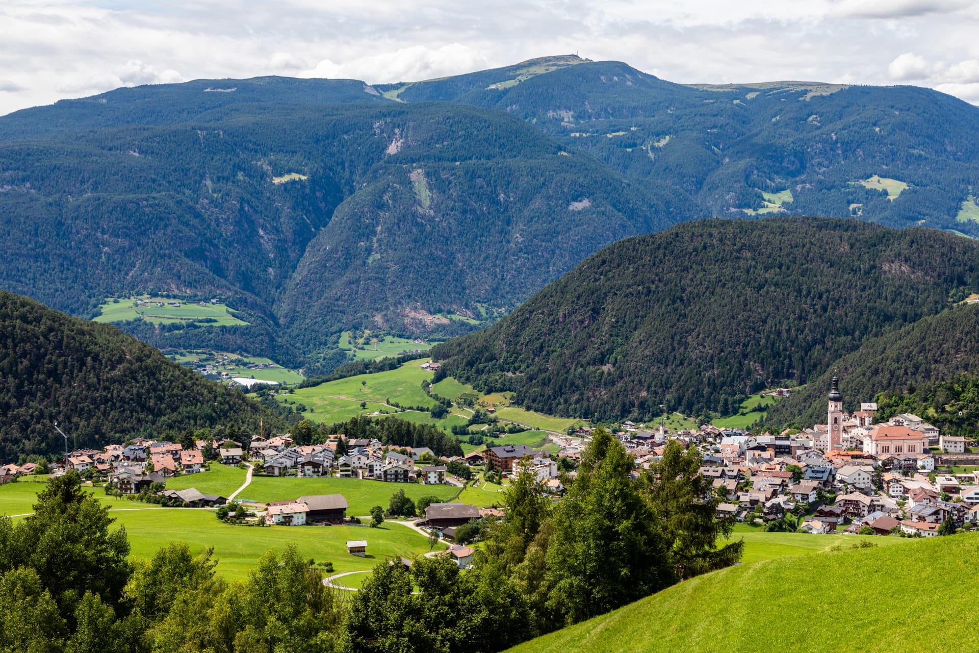
South Tyrolean gateway to the Alpe di Siusi at 1,060 metres, eighty-two-metre bell tower over the square, home of the Kastelruther Spatzen.
Lavarone
Province: Trento · 1,172 m
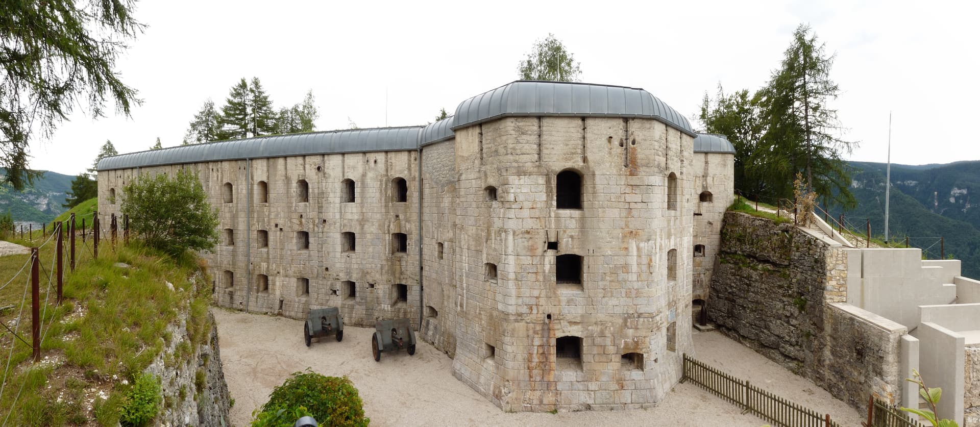
A Cimbrian plateau at 1,172 metres above the Val d'Astico, with a karst lake, an Austro-Hungarian fort, and the woods where Freud walked.
Levico Terme
Province: Trento · 520 m
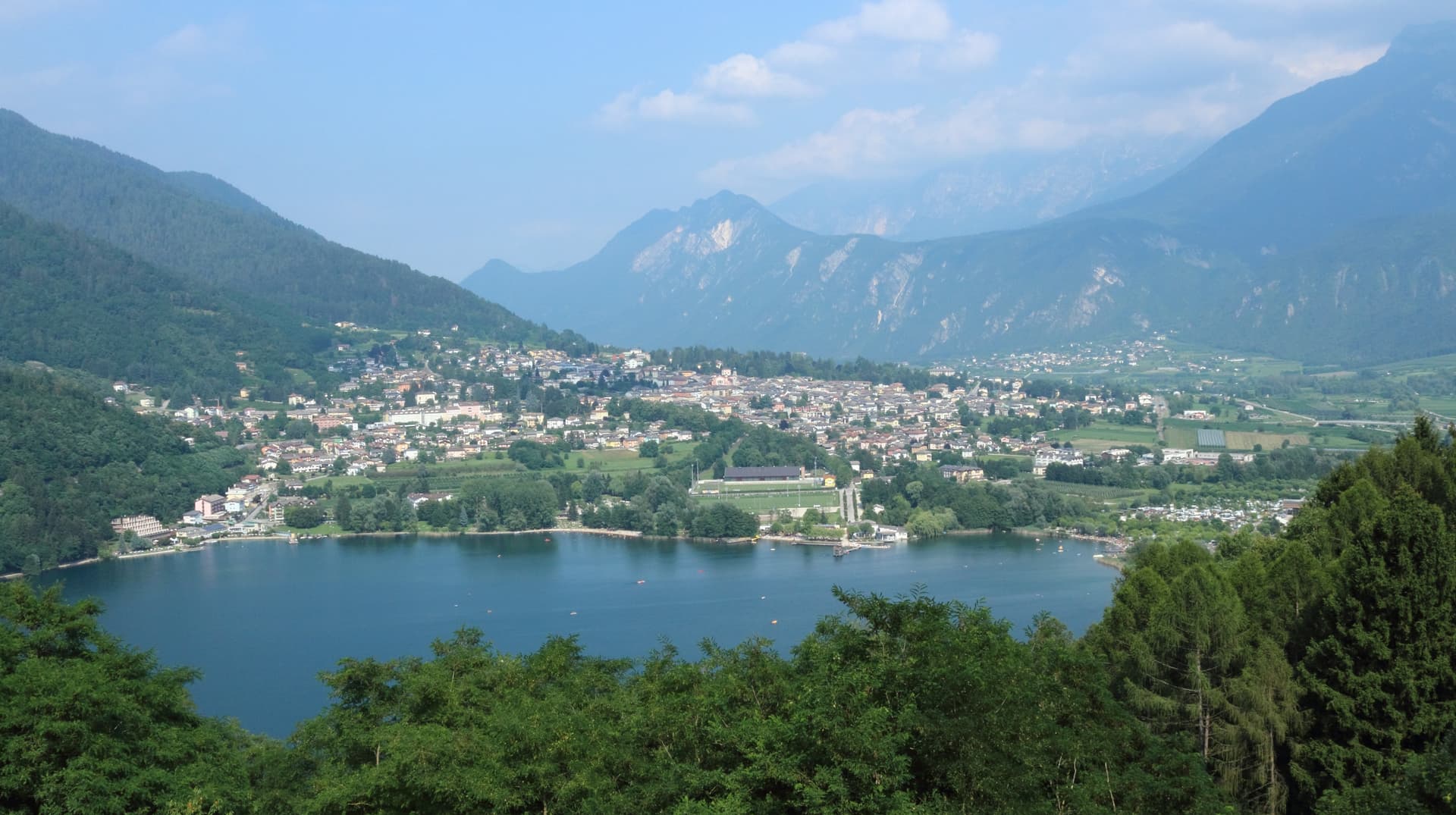
A Habsburg spa town in the Valsugana at 520 metres, with arsenic-iron thermal waters, an English park and a Blue Flag lake at the edge of the centre.
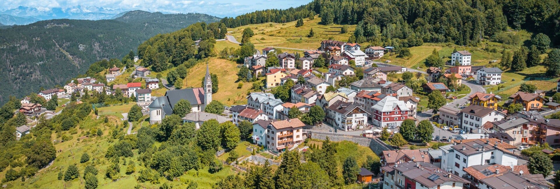
Luserna
Province: Trento · 1,333 m
A Cimbrian island at 1,333 metres on the Alpe Cimbra plateau, the last village in Italy where the medieval Bavarian dialect is still spoken at home.
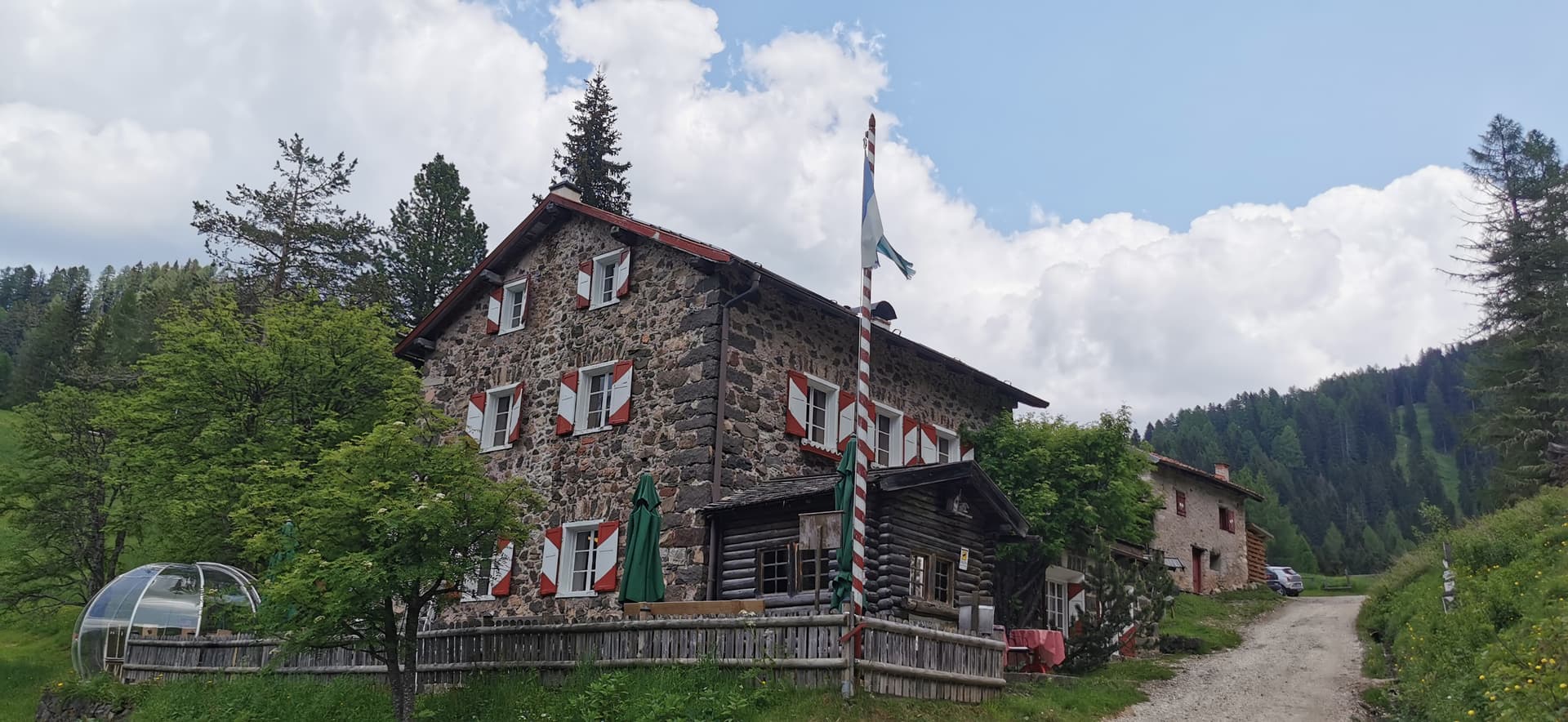
Moena
Province: Trento · 1,184 m
The largest village in Val di Fassa, Ladin-speaking, dressed in Ottoman costume for three days every August.
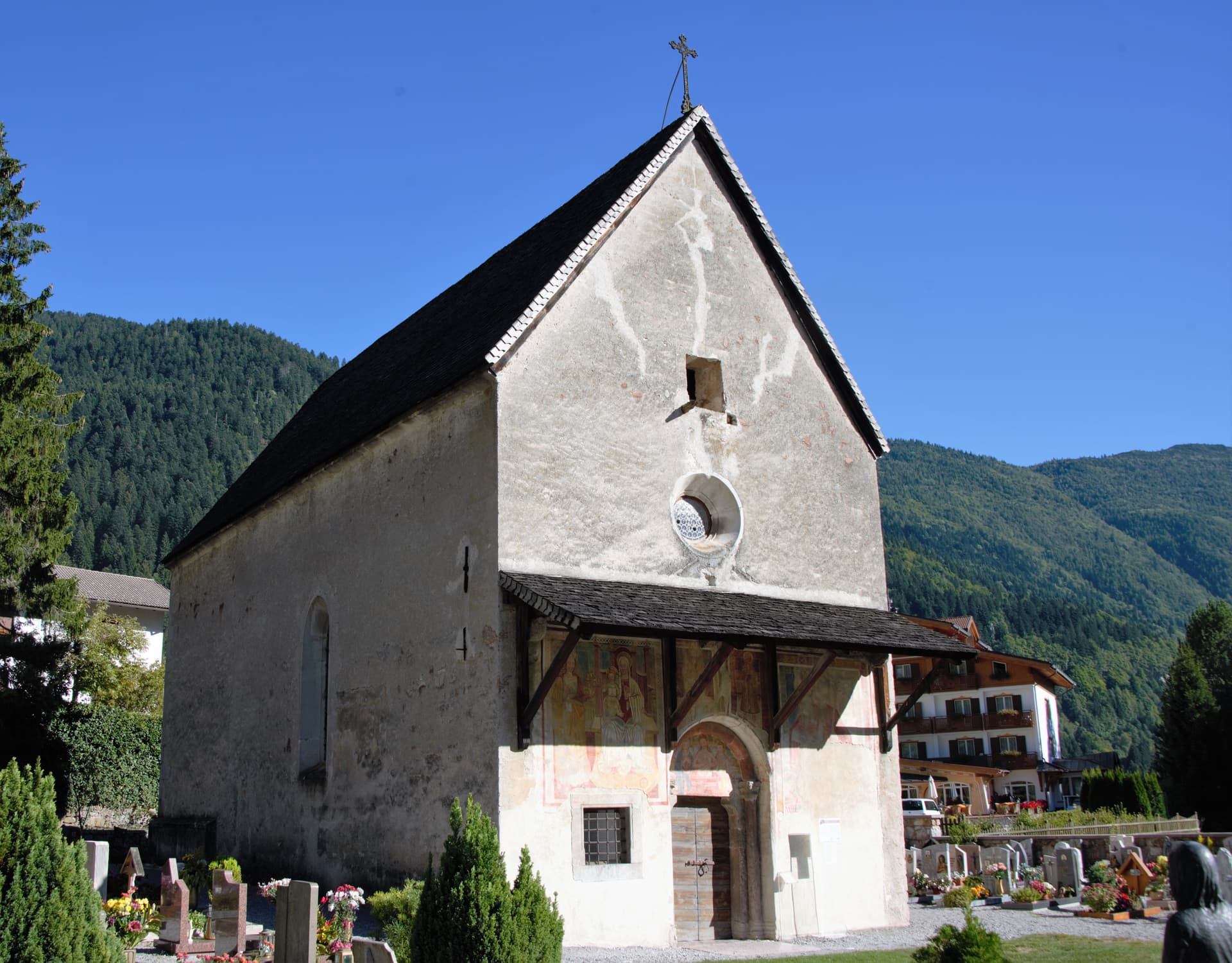
Molveno
Province: Trento · 864 m
The village at the north end of a deep blue alpine lake, with the Brenta Dolomites rising straight out of the water.
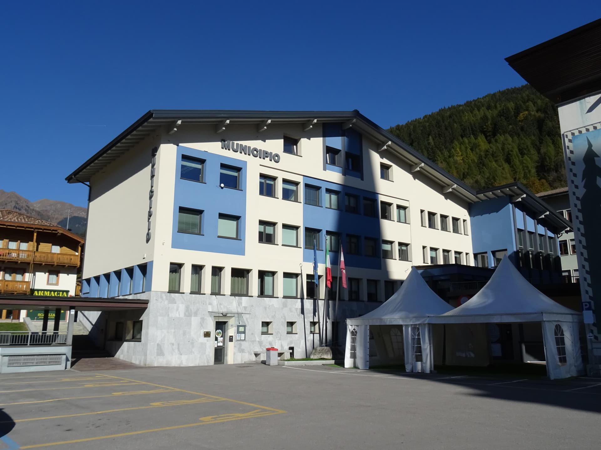
Pinzolo
Province: Trento · 770 m
The Val Rendena base town at 770 metres between the Adamello-Presanella and the Brenta Dolomites, with a fifteenth-century church wrapped in a Dance of Death fresco.
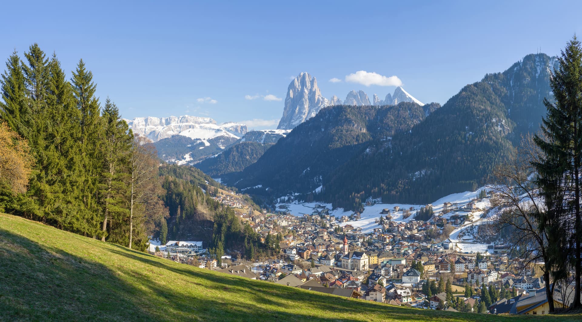
St. Ulrich
Province: Bolzano · 1,236 m
The Ladin capital of Val Gardena, a wood-carving town at 1,236 metres between Seceda and the Alpe di Siusi.
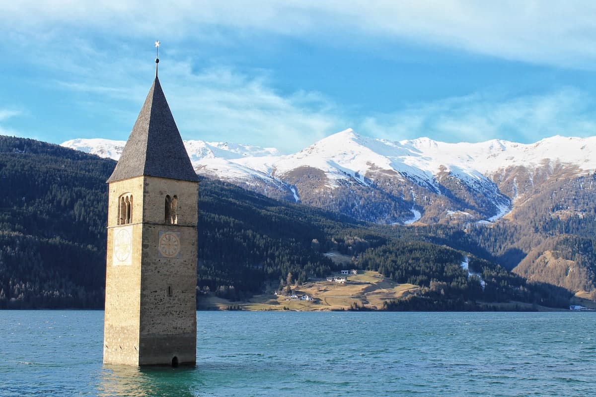
Sterzing
Province: Bolzano · 948 m
A bilingual mining town at 948 metres on the Brenner road, where a 46-metre tower built in 1472 still divides the old town from the new.
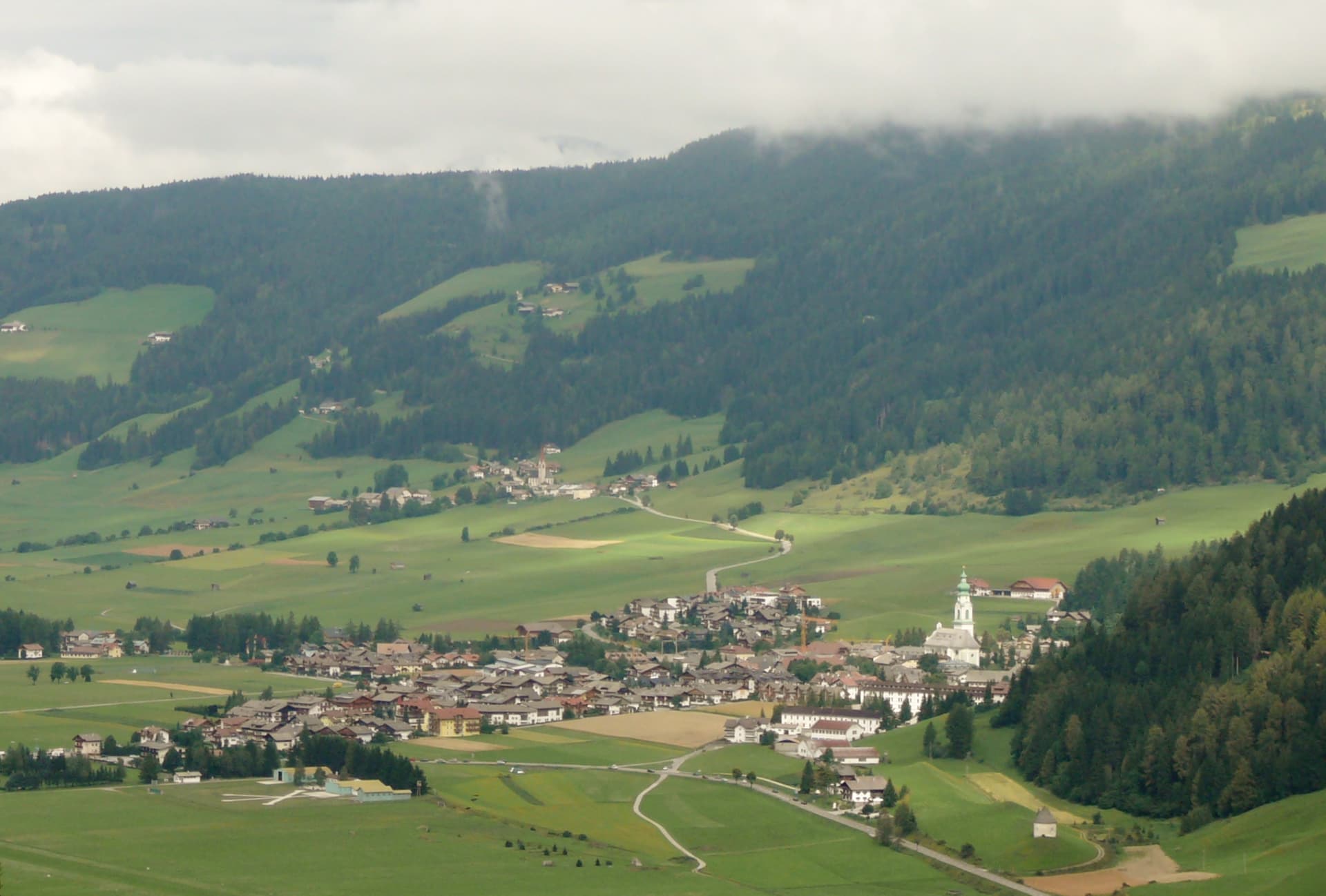
Toblach
Province: Bolzano · 1,256 m
The Val Pusteria gateway to the Tre Cime di Lavaredo, where Mahler wrote his last three symphonies in a cabin behind town.
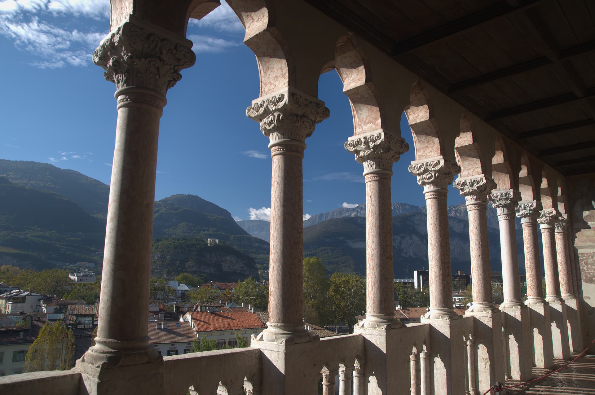
Trento
Province: Trento · 194 m
The Alpine capital on the Adige at 194 metres, where the Council that reshaped the Catholic Church met in a castle still standing above the city.
Tuscany2
- ✷ We've been
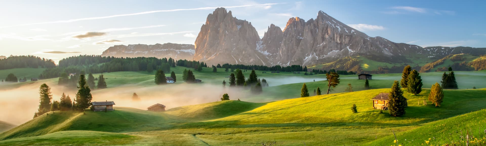
Abetone Cutigliano
Province: Pistoia · 1,388 m
The Apennine ski pass at 1,388 meters where the Granduca's two stone pyramids of 1778 mark the old Tuscan-Modenese border.
- ✷ We've been
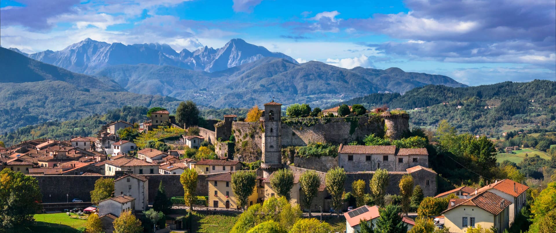
Castiglione di Garfagnana
Province: Lucca · 540 m
A walled medieval town at 540 meters in the Garfagnana, the Lucca outpost that refused to submit to the Este and held the pass to San Pellegrino.
Veneto9
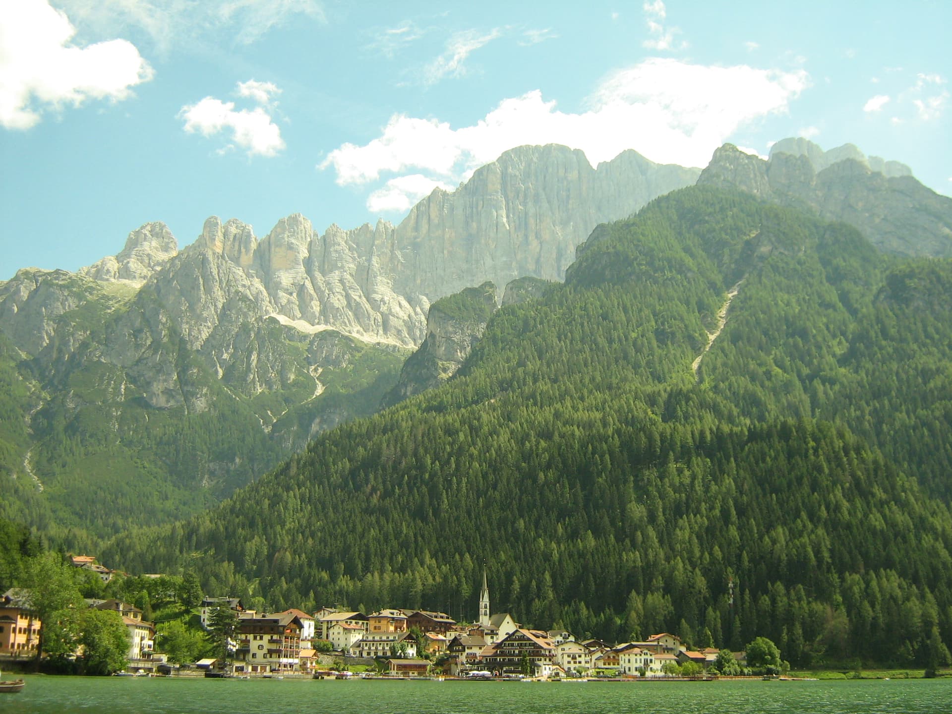
Alleghe
Province: Belluno · 979 m
A lakeside village at 979 meters under Monte Civetta, formed in 1771 when ten million cubic meters of rock crashed into the Cordevole.
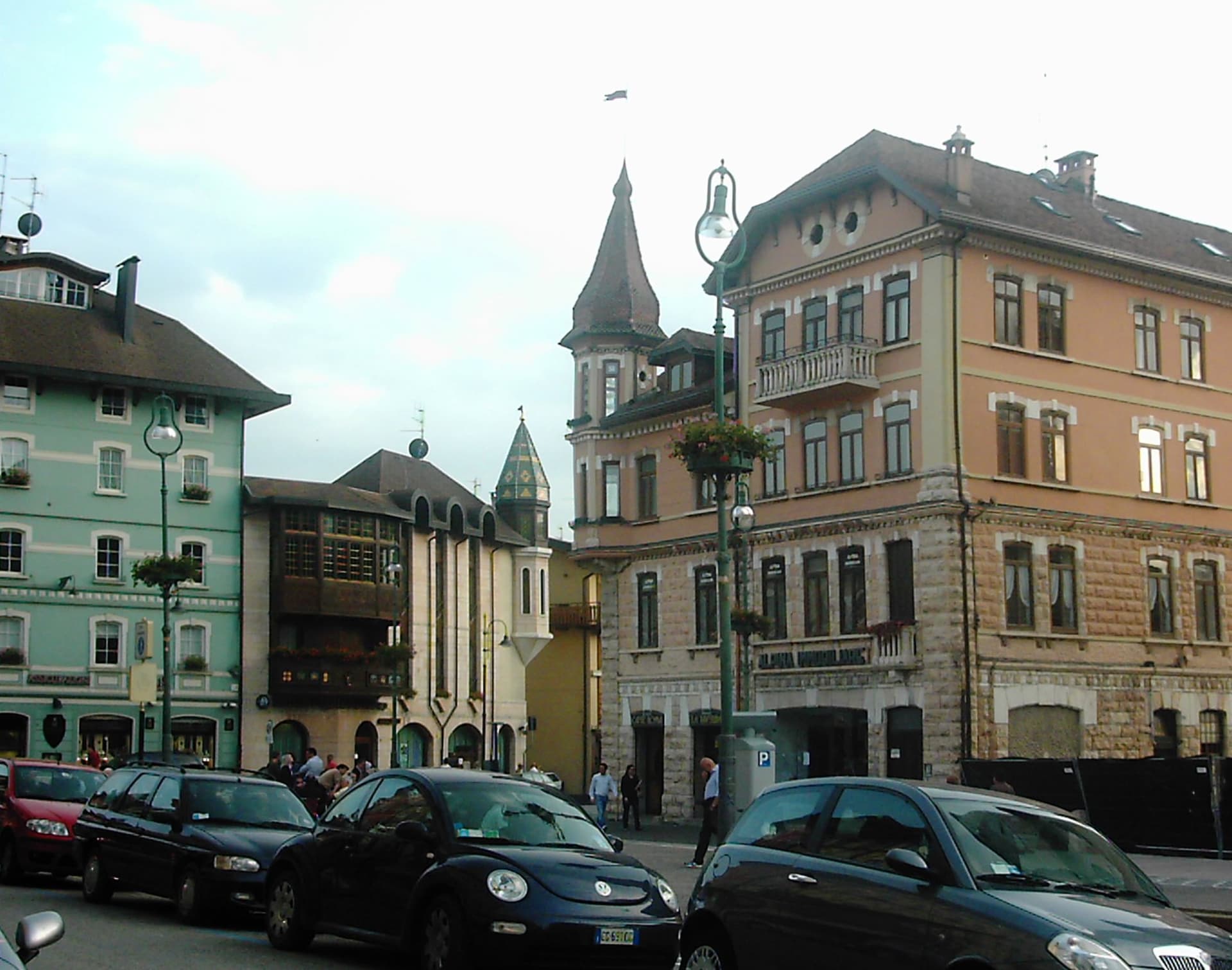
Asiago
Province: Vicenza · 1,001 m
The Sette Comuni plateau capital — a 6,285-resident high-altitude town at 1,001m in the Alpine prealps north of Vicenza, with the eponymous Asiago DOP cheese, the largest WWI ossuary in northern Italy (Sacrario del Leiten, 54,286 fallen soldiers), and Italy's most important professional astronomical observatory.
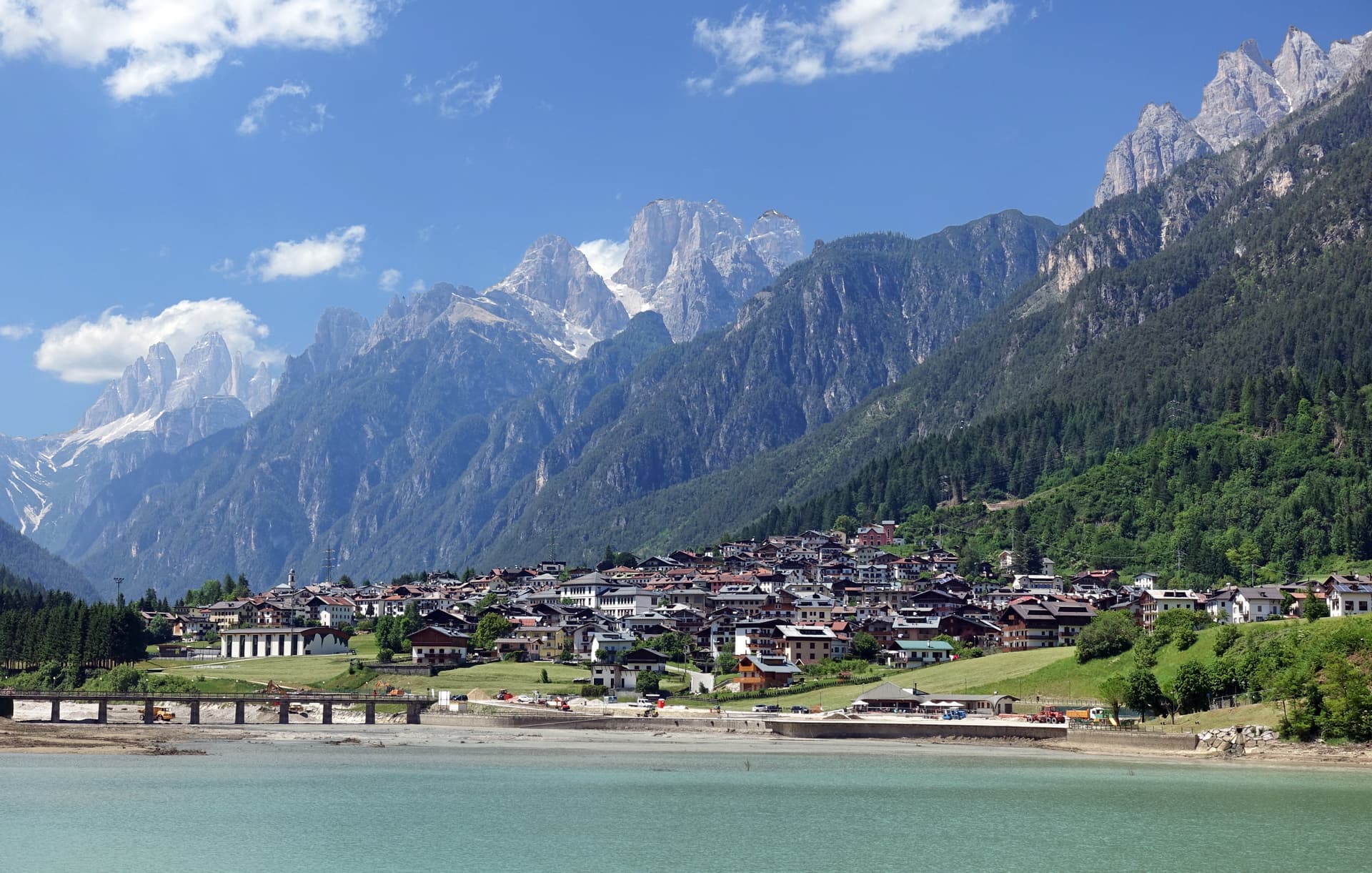
Auronzo di Cadore
Province: Belluno · 864 m
A five-kilometer ribbon town along an artificial lake at 864 meters, the gateway to the Tre Cime di Lavaredo and Lake Misurina.
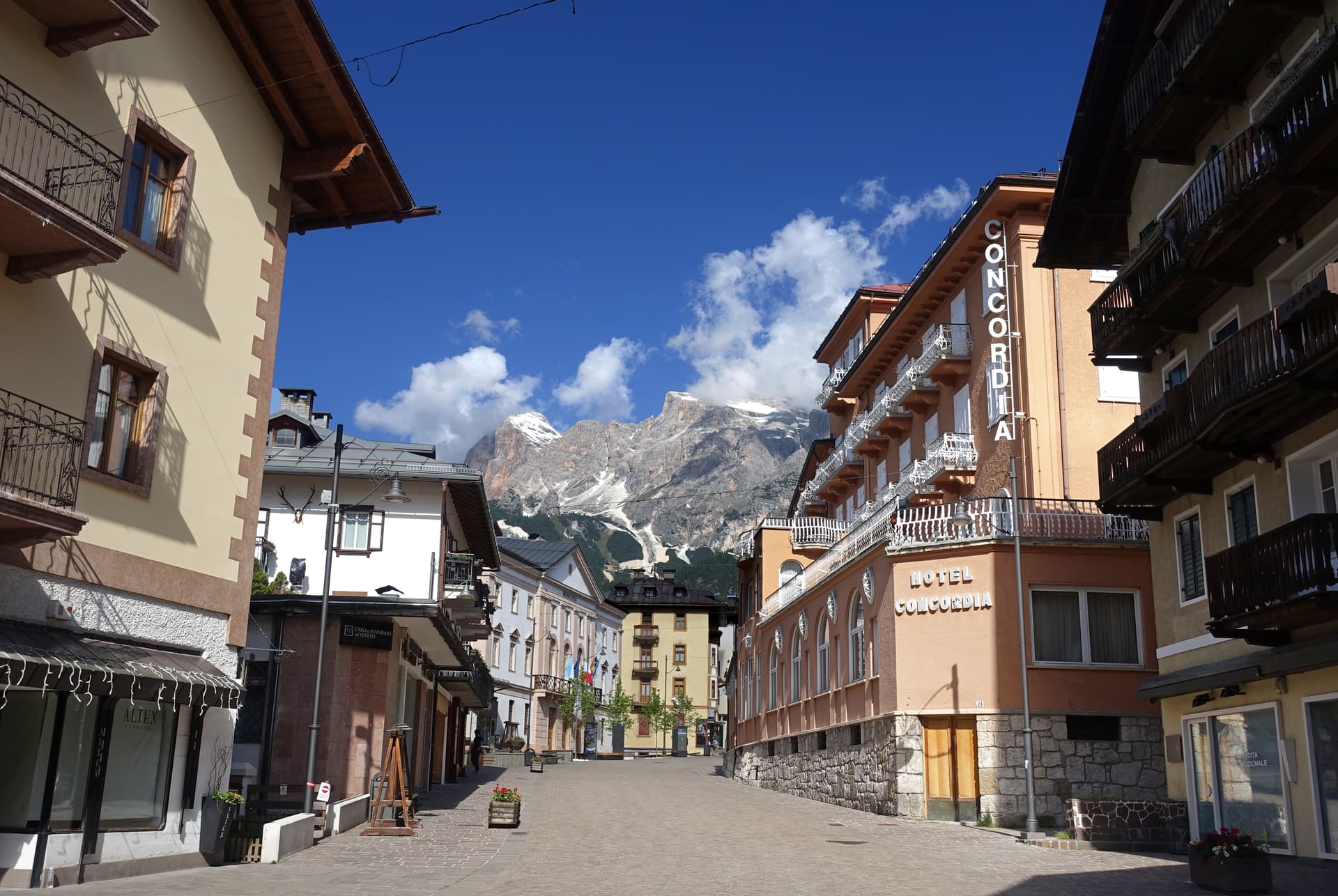
Cortina d'Ampezzo
Province: Belluno · 1,224 m
The Queen of the Dolomites at 1,224 meters, host of the 1956 Winter Olympics and co-host of Milano-Cortina 2026.
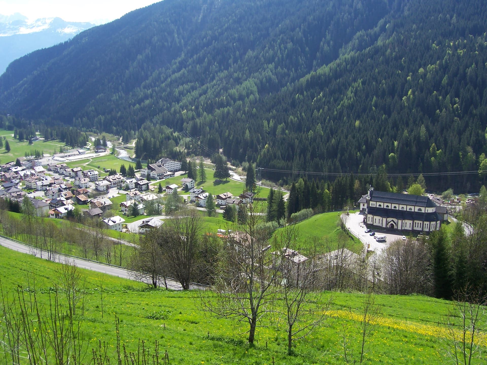
Falcade
Province: Belluno · 1,148 m
An Agordino ski village at 1,148 meters under the Focobon spires, with the San Pellegrino pass to the Val di Fiemme.
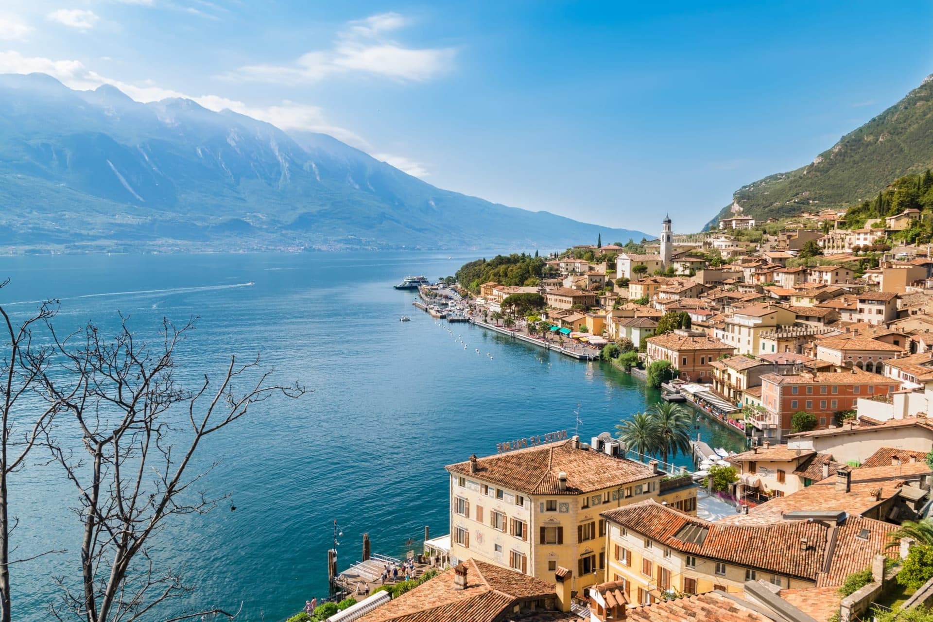
Malcesine
Province: Verona · 89 m
The northernmost Veneto town on Lake Garda, where Goethe was nearly arrested for sketching the Castello Scaligero in September 1786.
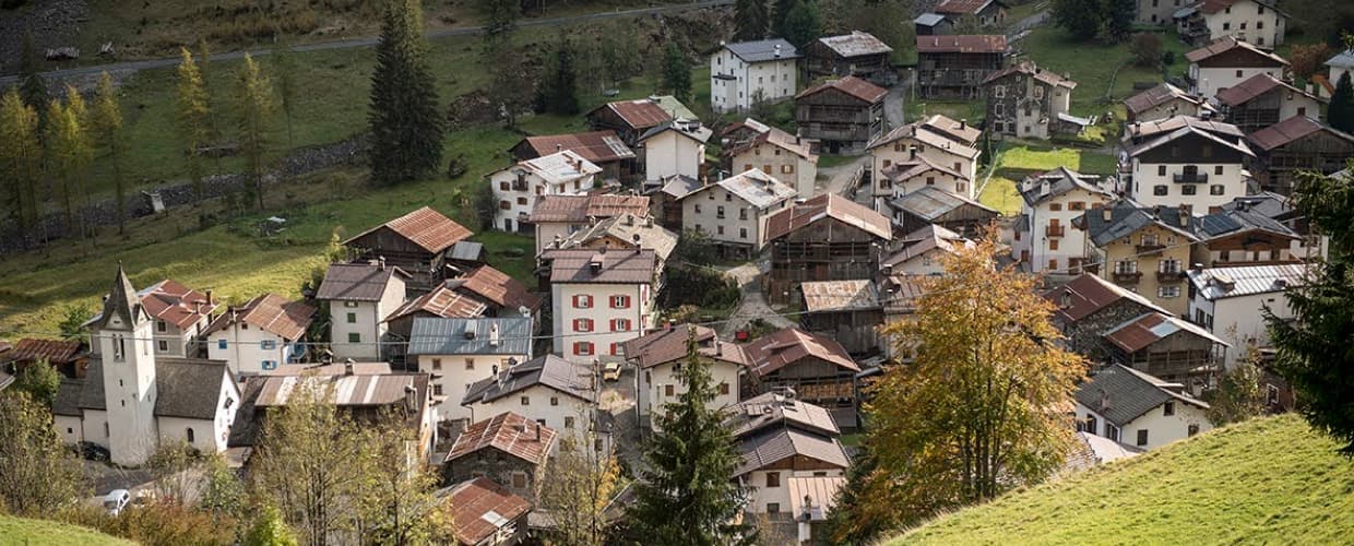
Rocca Pietore
Province: Belluno · 1,143 m
An Agordino borgo at 1,143 meters under the Marmolada, where the Pettorina cuts a two-kilometer gorge through 100-meter rock walls.
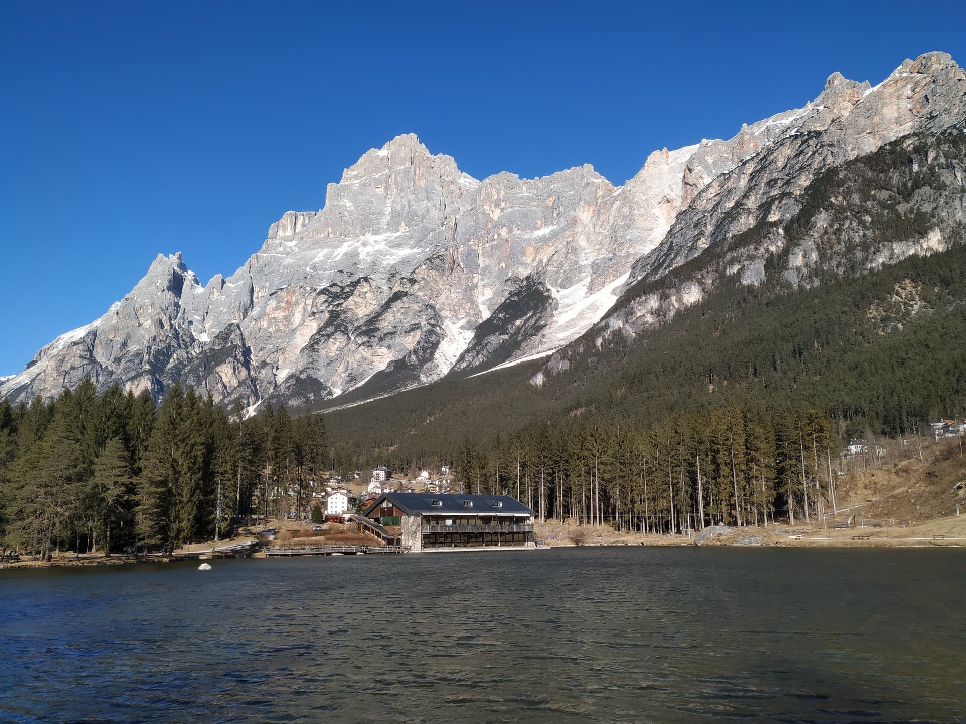
San Vito di Cadore
Province: Belluno · 1,011 m
A Cadore valley village at 1,011 meters between the Antelao and the Pelmo, ten kilometers south of Cortina and built around a fifteenth-century frescoed chapel.
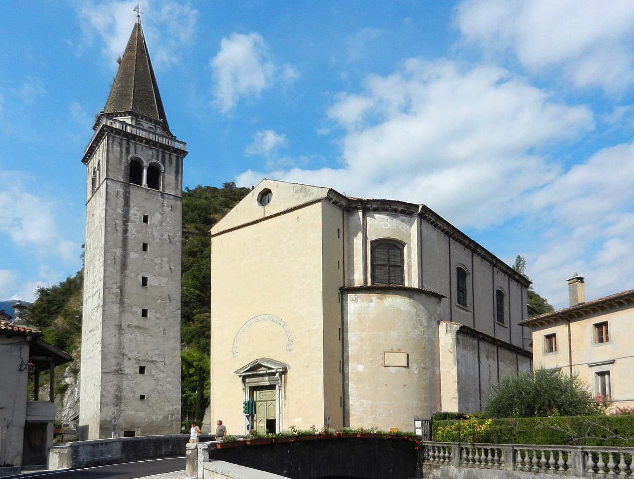
Vittorio Veneto
Province: Treviso · 138 m
Two old towns fused at 138 meters under the Cansiglio, where the October 1918 battle ended the First World War on the Italian front.
Subscribe — free
Get the best guides on hidden Italian towns.
One letter on Sundays. The week’s town, with the photo, the food, the festa. Free, by Peter & Sophia from Pietrasanta.
Substack sends a confirmation link to your inbox. The signup finishes when it’s clicked.
From elsewhere in Italy
Five more towns to discover
Putignano
Province: Bari
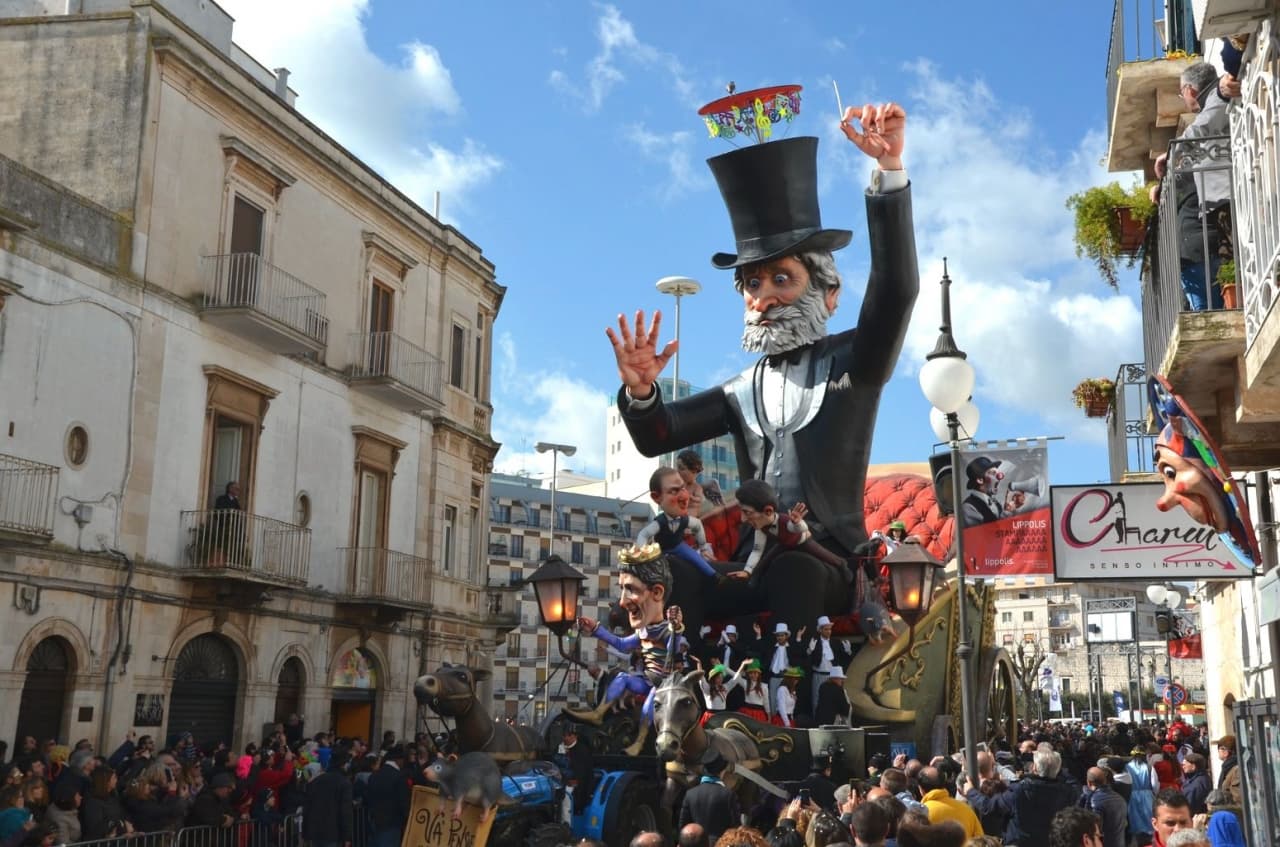
Europe's longest-running carnival — Putignano Carnevale has run continuously since 1394, with 631 years of cartapesta papier-mâché floats, a 26,000-resident Murgia town on the Bari–Lecce plateau, and the Grotta del Trullo karst cave inside the centro.

Pistoia
Province: Pistoia
Italy's nursery capital and the medieval Tuscan rival that gave its name to the pistol — a quietly extraordinary centro storico of zebra-striped Romanesque churches, Andrea della Robbia's polychrome frieze on the Ospedale del Ceppo, and Italy's Capital of Culture 2017, all 30 minutes from Florence by train.
Tropea
Province: Vibo Valentia
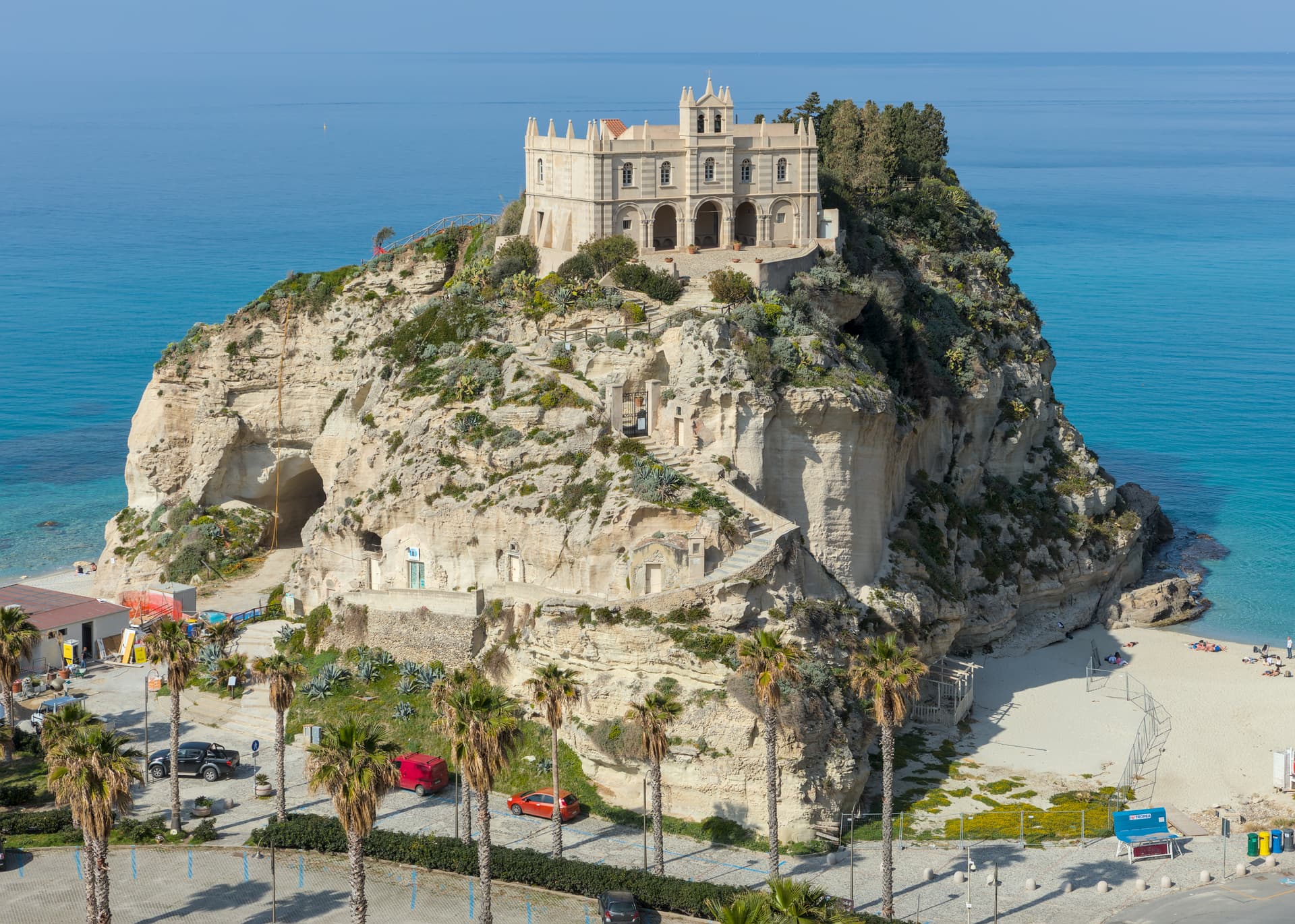
Cliff town on a tufa headland over the Tyrrhenian Coast of the Gods, with a Norman monastery on a sea rock.
Caldes
Province: Trento
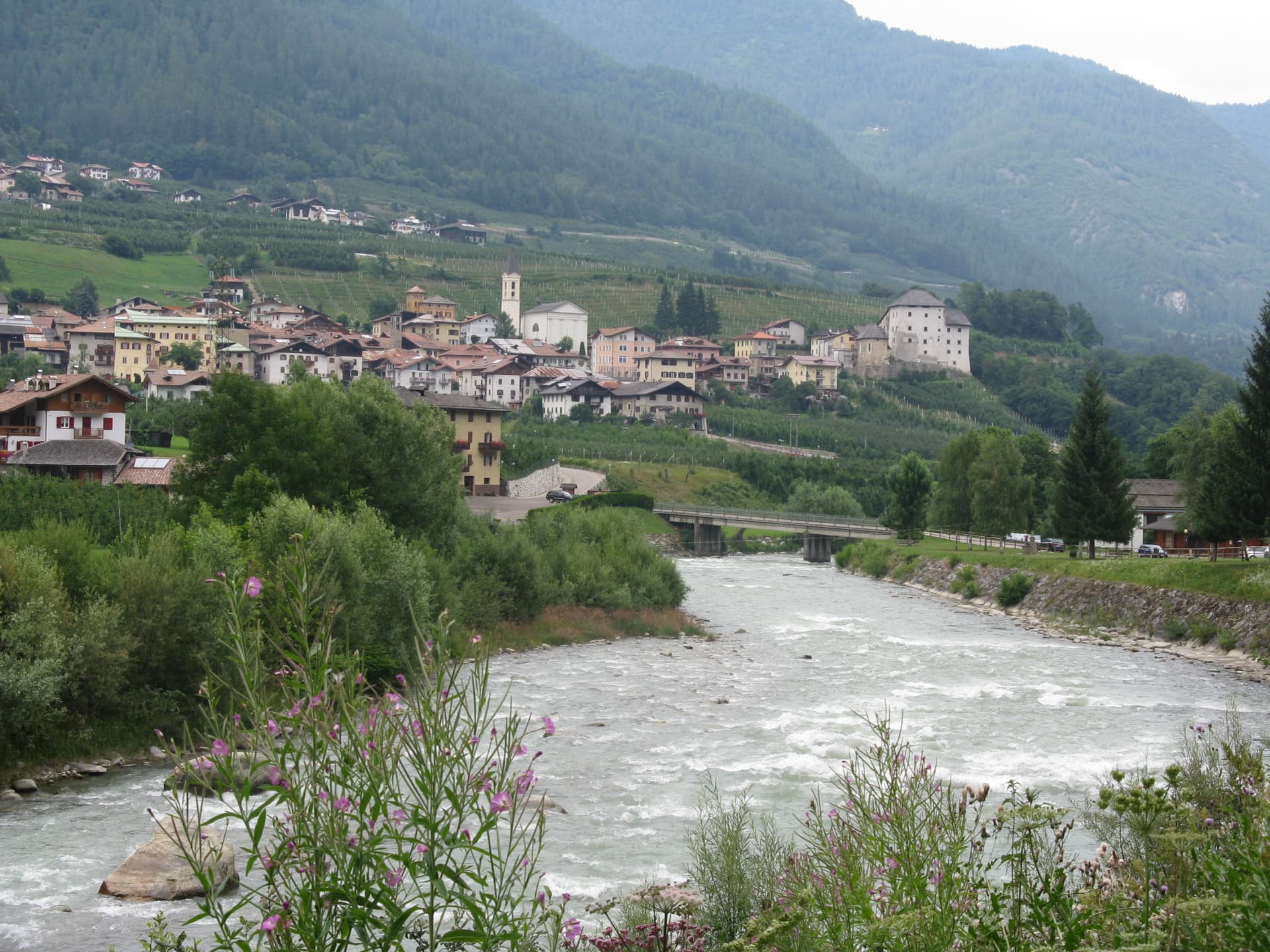
A scattered Val di Sole commune on the Noce, six hamlets gathered around a thirteenth-century tower-house castle that once belonged to the Thun family.
Cantiano
Province: Pesaro e Urbino
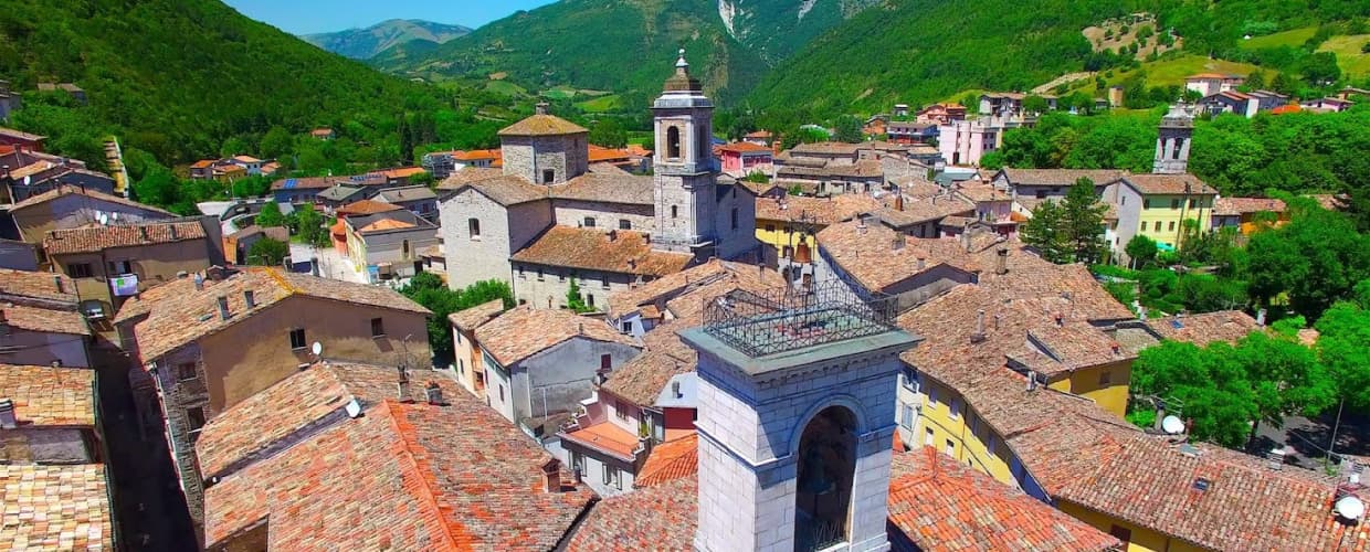
A border borgo at 374 meters under Monte Catria on the old Via Flaminia, known for the Good Friday Turba and the sour-cherry visciola harvest.