

Piedmont · Cuneo
Garessio
A four-borgo medieval town at 621 meters on the Liguria-Piemonte border, built on the salt road and the source of the Acqua San Bernardo.
Known for
SALT ROAD
Medieval transit point where Mediterranean salt was repacked after crossing the Ligurian Alps for distribution north.
ACQUA SAN BERNARDO
Mineral water spring bottled and sold across Italy since the 1920s, the town's main industrial brand.
FOUR BORGATE
Borgo Maggiore, Borgo Ponte, Borgo Poggiolo, and Borgo Valsorda, each a self-contained medieval quarter.
When to visit
Best · May–Oct
- J
- F
- M
- A
- M
- J
- J
- A
- S
- O
- N
- D
- Best
- Hot or crowded
- Quiet
- Mostly closed
The festa: San Rocco, 16 August
Why come
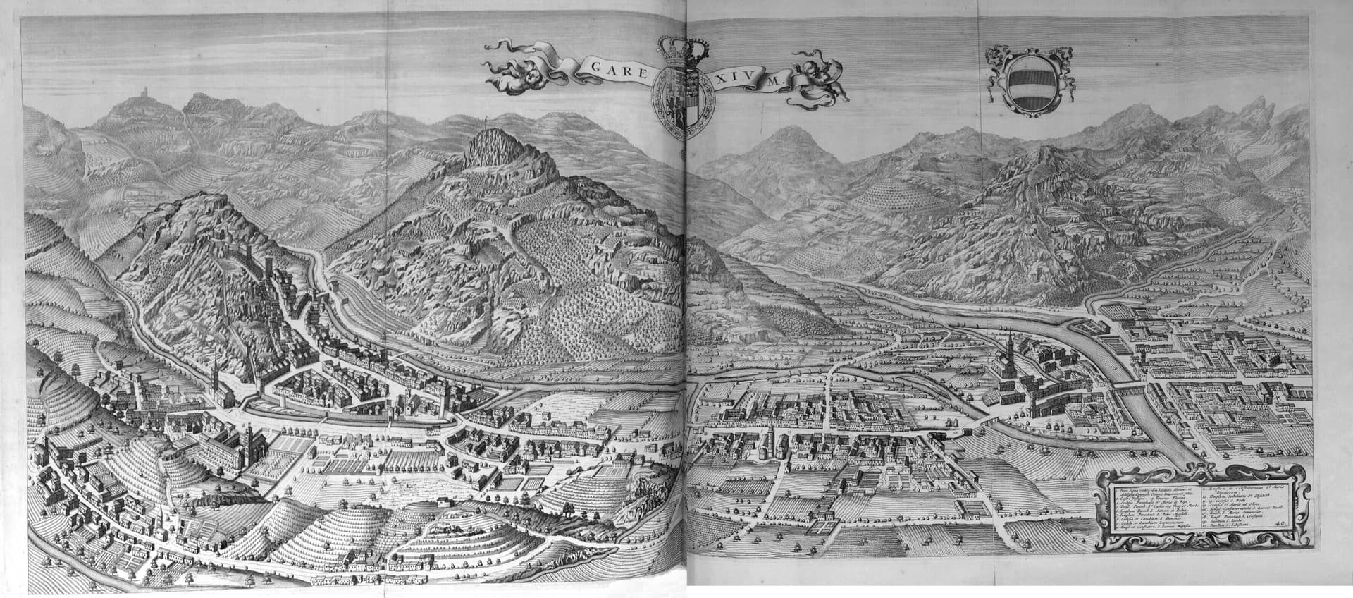
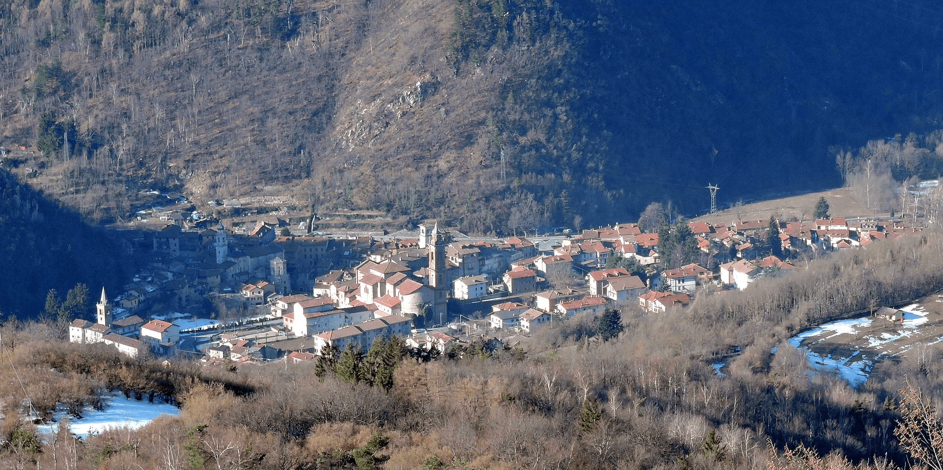
Garessio sits at 621 meters in the upper Tanaro valley, on the watershed where Piemonte meets Liguria. The town is built across four historic borgate: Borgo Maggiore, Borgo Ponte, Borgo Poggiolo, and Borgo Valsorda, each with its own piazza and parish. In the Middle Ages this was a stop on the salt road: Mediterranean salt came up over the Ligurian Alps from Albenga, was repacked here, and continued north toward Piemonte and the Po valley.
Three of the four fortified gates survive, Porta Rose, Porta Jhape, and Porta Liazoliorum, along with stretches of the twelfth-century walls. The Savoy family kept a hunting lodge at the Reggia di Valcasotto, a former Carthusian charterhouse on the slopes above town. The Acqua San Bernardo spring, bottled commercially since the 1920s, still runs from a fountain in Borgo Valsorda. The Alpine Wars of 1940 and 1944 brought partisan fighting to these ridges; the town remembers them at Colle San Bernardo.
The Sunday letter
We haven’t written Garessio’s letter yet.
One town every Sunday, with the photo, the food, the festa. Be there when this one comes up. Free, by Peter & Sophia from Pietrasanta.
By subscribing you agree to Substack’s Terms of Use, our Privacy Policy and our Information collection notice.
What to see
Borgo Maggiore
The medieval core, fortified around 1100 as a ricetto, with three surviving gates and remnants of the defensive walls.
Reggia di Valcasotto
Former Carthusian charterhouse converted to a Savoy hunting lodge in the nineteenth century, on the wooded slopes above the town.
Santuario di Valsorda
Hillside sanctuary above Borgo Valsorda, the town's pilgrimage site, with views over the Tanaro valley.
Sorgente Acqua San Bernardo
Mineral spring bottled commercially since the 1920s, still flowing at a public fountain in Borgo Valsorda.
Colle San Bernardo
957-meter pass on the road to Albenga, the historic salt-route crossing between Piemonte and the Ligurian coast.
The slow-trip planner
Building a trip? Find where Garessio fits in a slow Italy circuit.
Answer five questions. We will shape a geographically coherent slow trip from the 1,000 Italian towns most travelers skip. Yours to save and share.
Living here
- Population 2,841
- In-betweeni
- Pharmacy in town
- High school within a 30-minute drive
- Train station in the comune
- Nearest airport Genoa, 1 h 41 min drive
- Regional capital Torino, 1 h 35 min drive
Tags & datadesignations · numbers · sources
Recognised as
The numbers
- Elevation: 621 m
- Population: 2,841
- Surface area: 131.29 km²
These figures were compiled from public directories — ISTAT, OpenStreetMap, Wikidata — and from the official listings of the guides named on this page. Town details change; verify with official sources before you travel.
Close by
More towns near Garessio
Zuccarello
Province: Savona
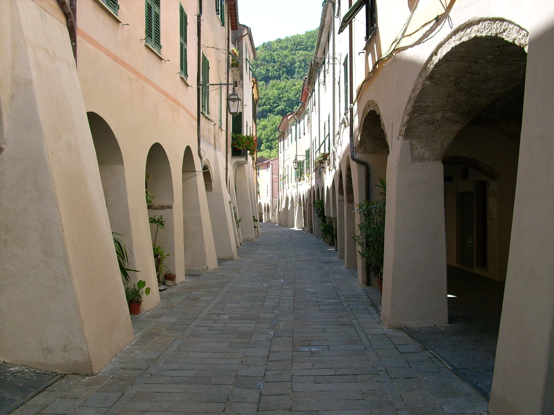
A 280-person medieval borgo in the Neva valley above Albenga, founded by the Marquises of Clavesana in 1248, birthplace of Ilaria del Carretto.
Castelvecchio di Rocca Barbena
Province: Savona
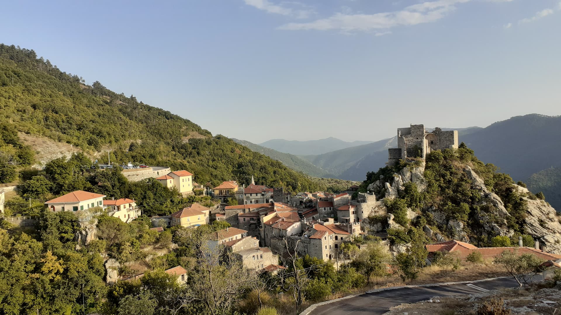
A stone village of 130 residents at 420 meters in the Val Neva, built into the southern foot of Rocca Barbena at 1,142 meters.
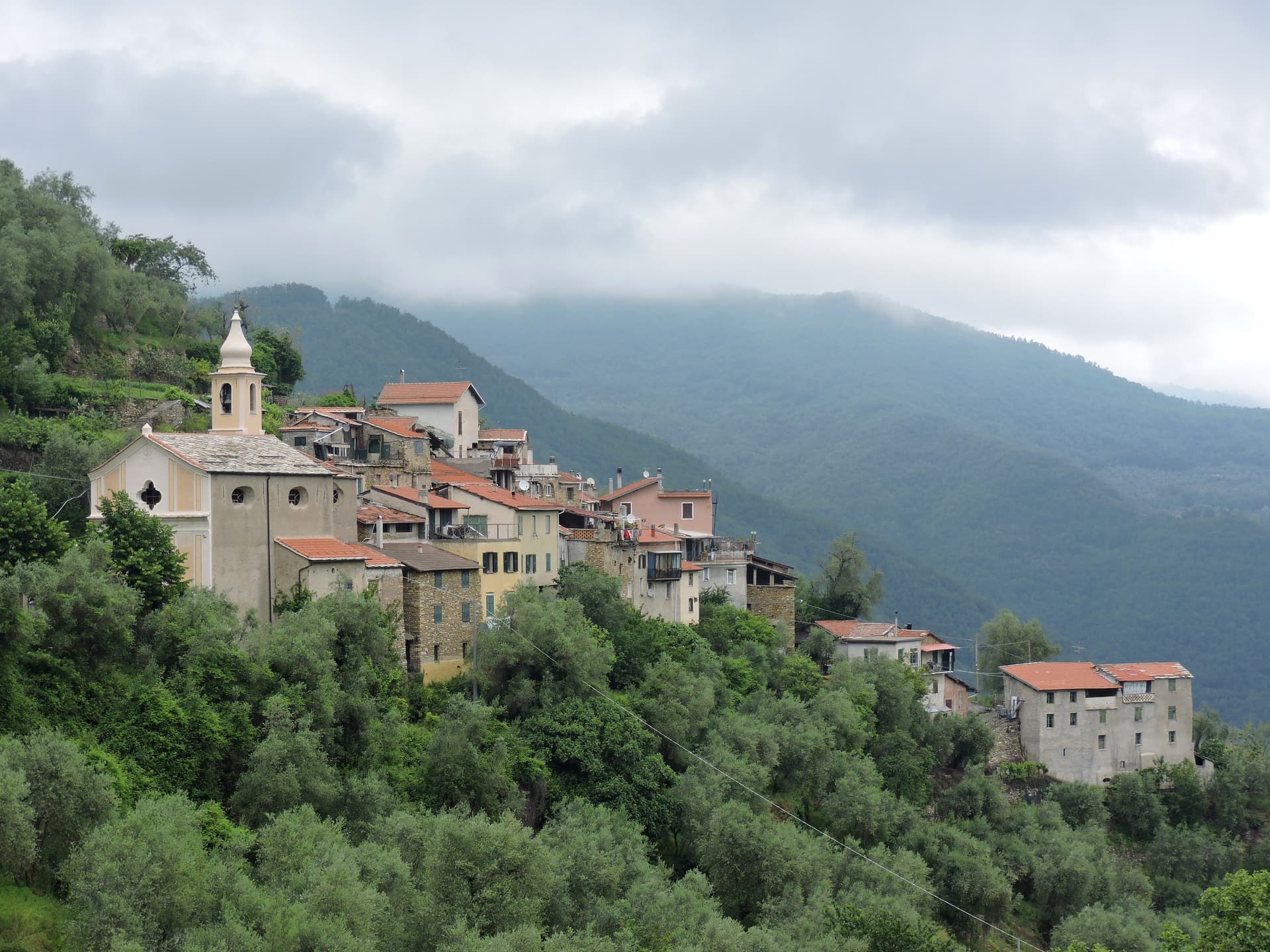
Pieve di Teco
Province: Imperia
A planned market town founded in 1233 in the middle Arroscia valley, with porticoed Corso Ponzoni and the second-smallest theater in Italy.
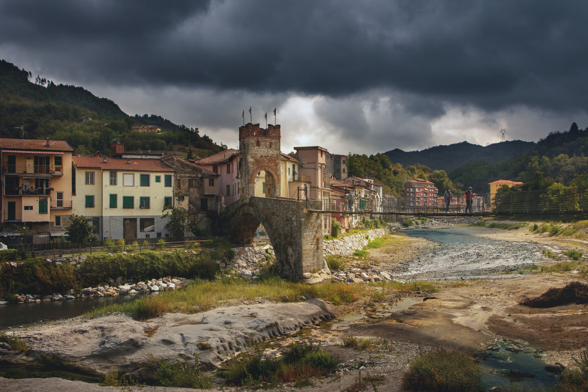
Millesimo
Province: Savona
A fortified Del Carretto borgo at 429 meters in the upper Val Bormida, where Napoleon broke the Austro-Sardinian army in April 1796.
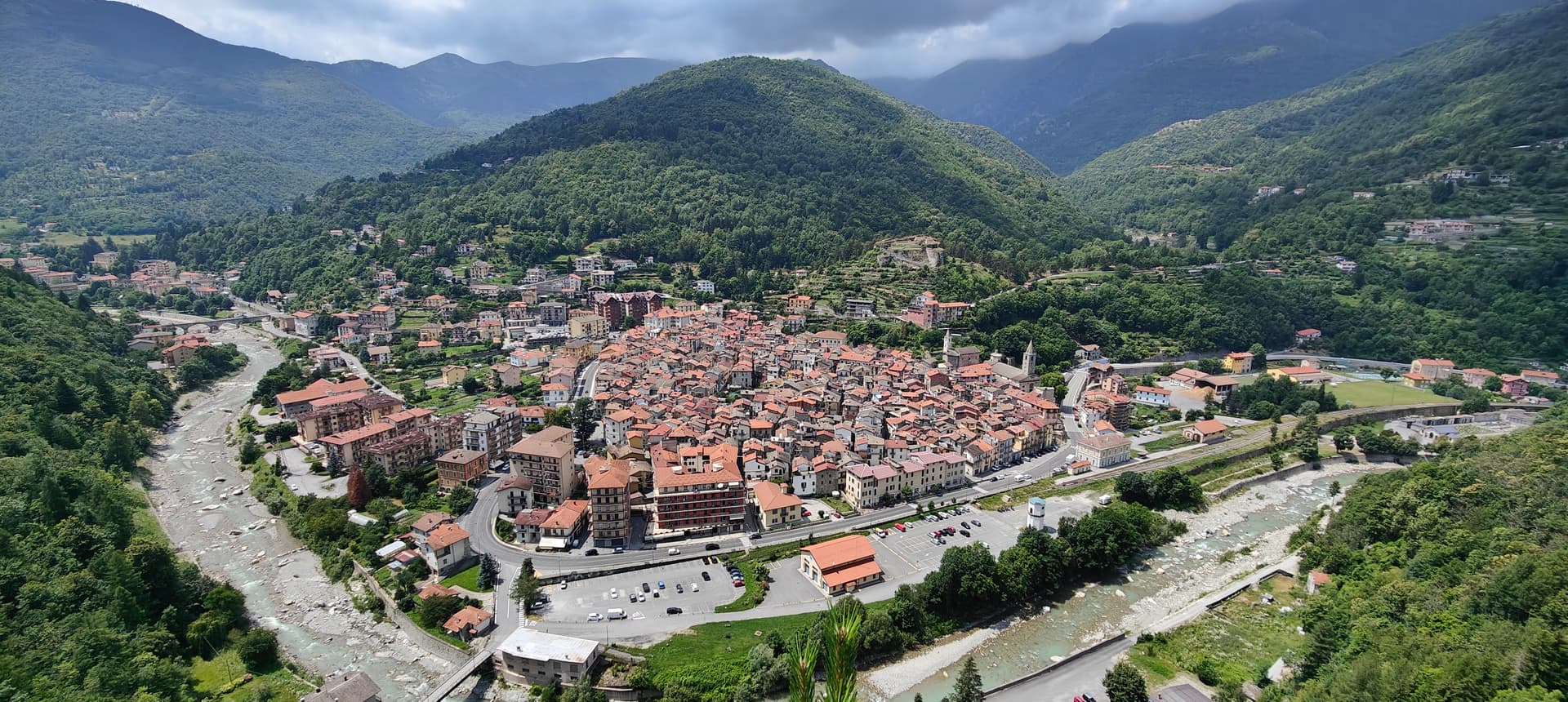
Ormea
Province: Cuneo
A heart-shaped Ligurian-Alps borgo at 736 meters in the upper Tanaro valley, the southernmost town in Piemonte before the Imperia ridge.
🎨 Borghi più belli d'Italia
More Borghi più belli d'Italia towns in Piedmont
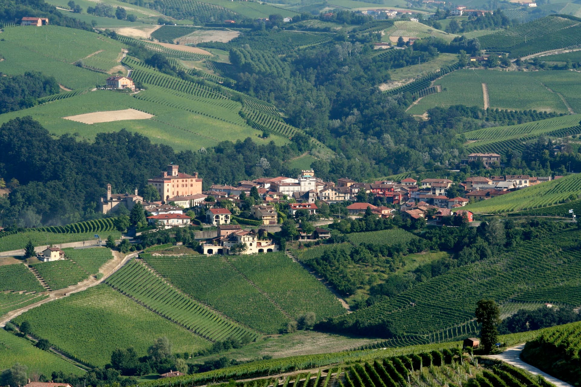
Barolo
Province: Cuneo
A Langhe borgo at 301 meters whose Castello Falletti gave its name to the wine the Marchesi turned dry in the 1830s with Cavour's help.
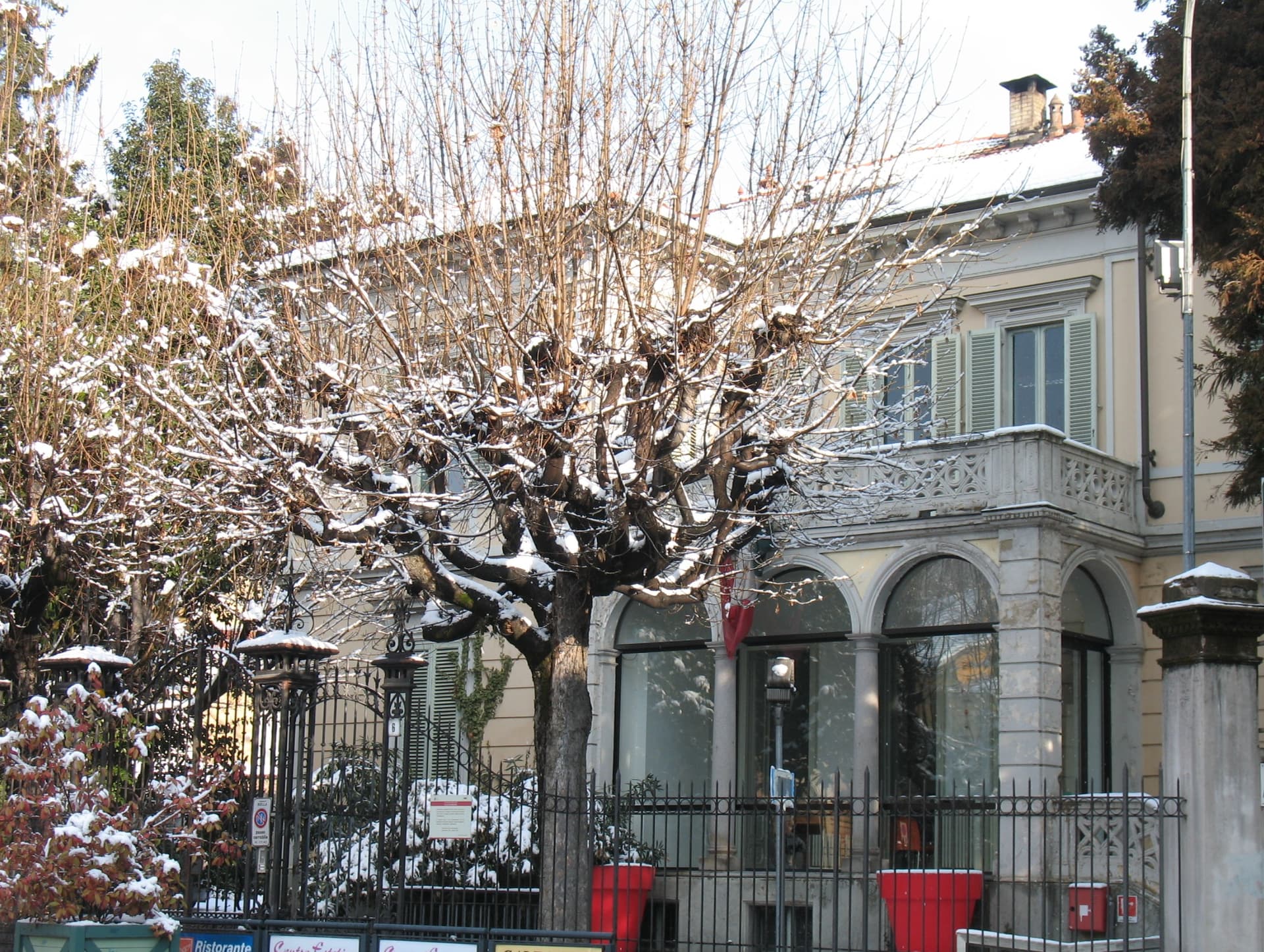
Biella
Province: Biella
A wool city at 417 meters in the Alpine foothills, where the medieval Piazzo sits above the modern Piano, connected by a funicular since 1885.
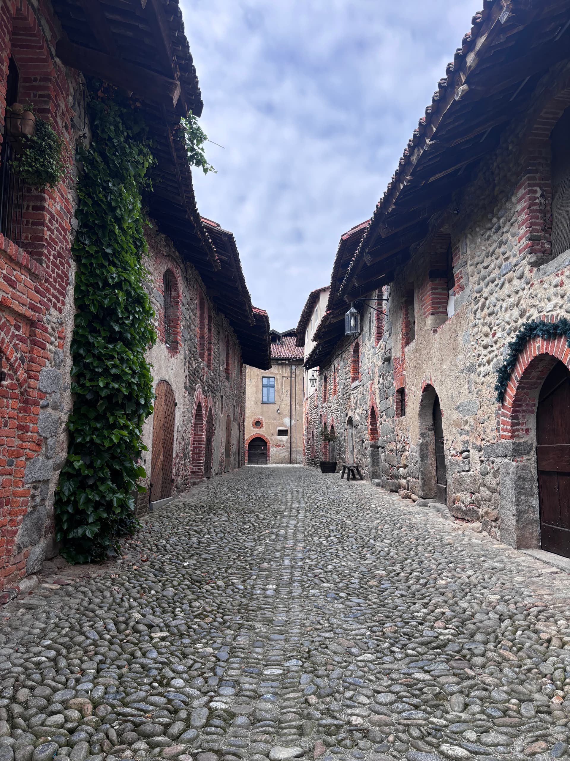
Candelo
Province: Biella
A Biellese commune at 350 meters whose Ricetto, a 13th-century fortified shelter of two hundred stone cellule, is the best-preserved in Piedmont.
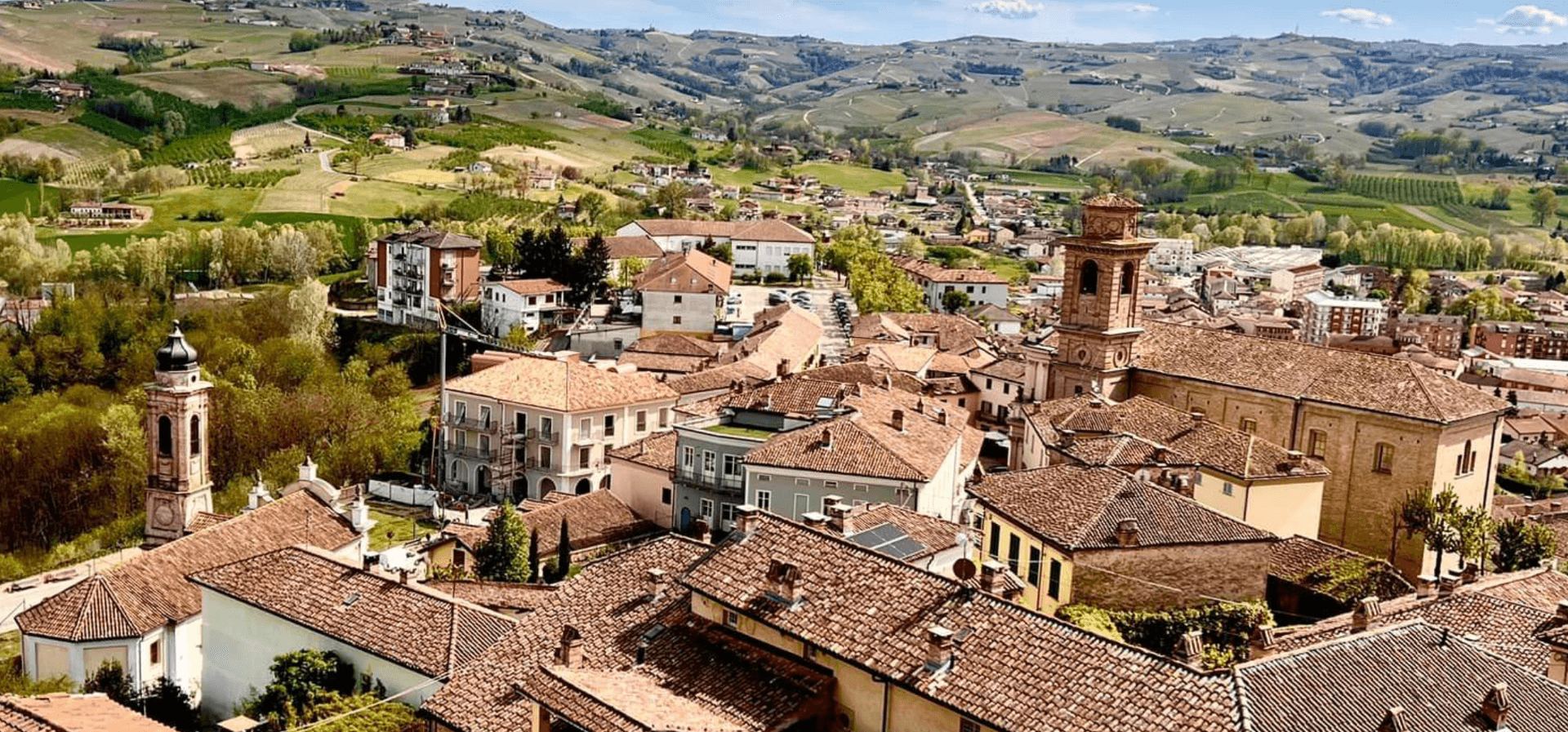
Castagnole delle Lanze
Province: Asti
An Asti hill town at 298 meters between Langhe and Monferrato, with two Baroque churches and a nineteenth-century astronomical tower.
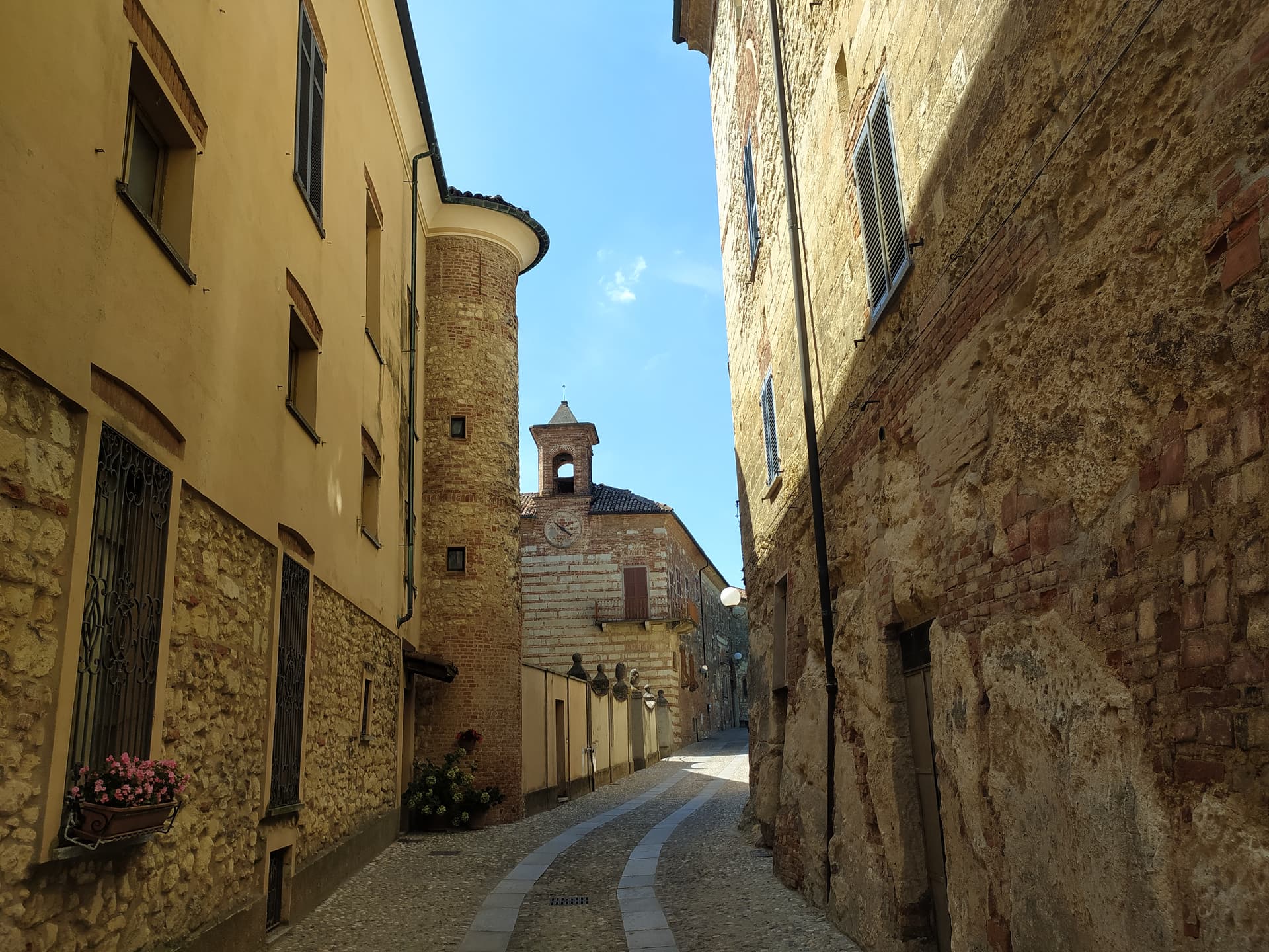
Cella Monte
Province: Alessandria
A 465-person Monferrato Casalese borgo at 268 meters built in pietra da cantoni, with infernot cellars listed under the UNESCO Vineyard Landscape.