
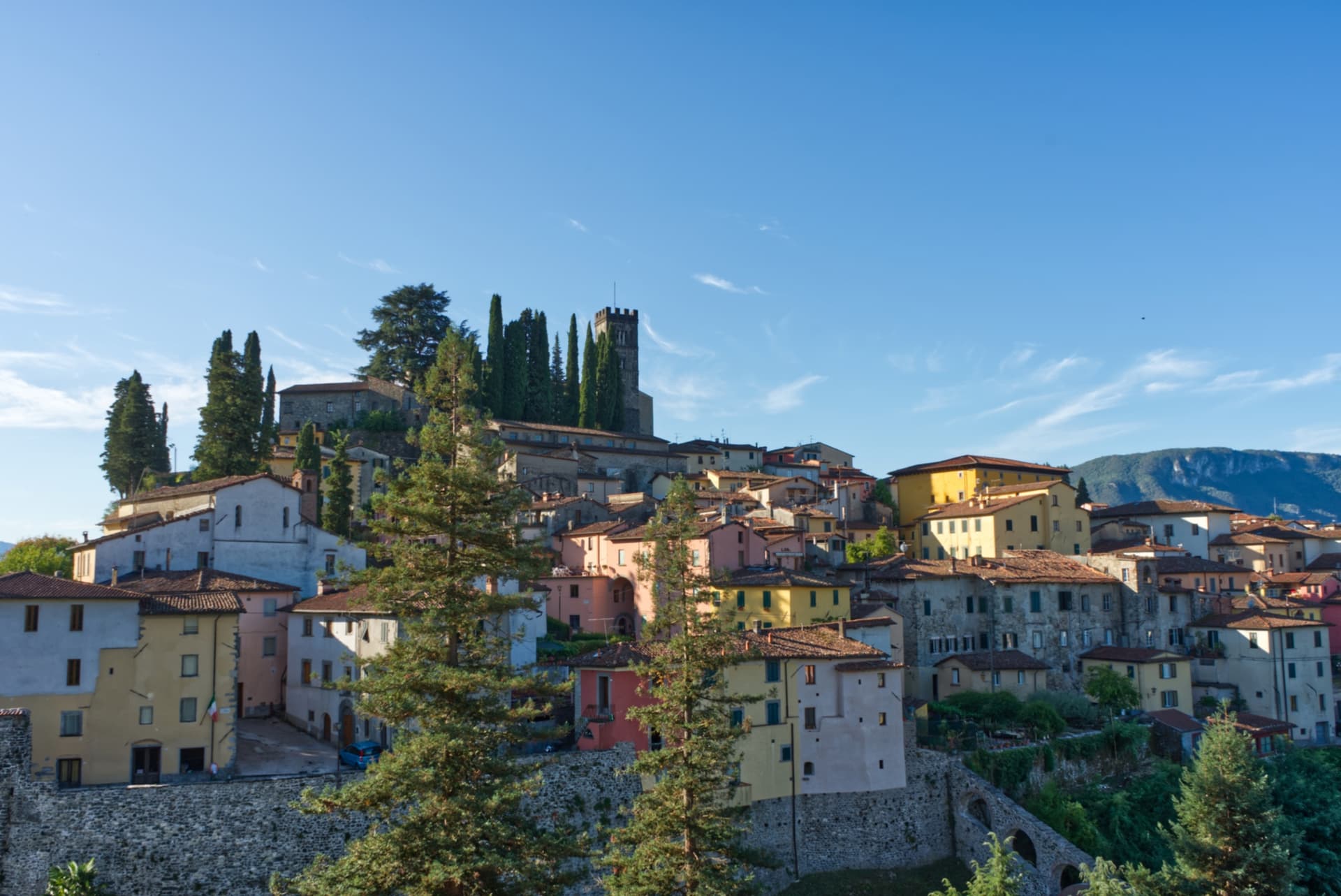
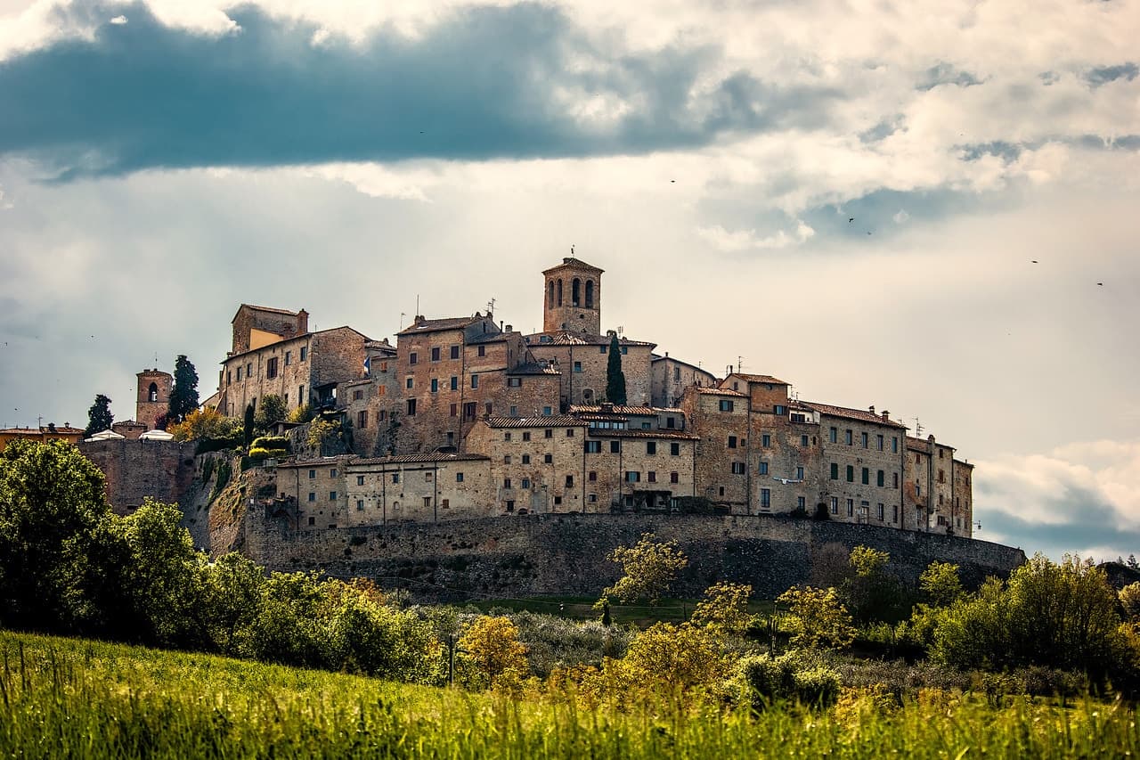
Tuscany · Pistoia
Abetone Cutigliano
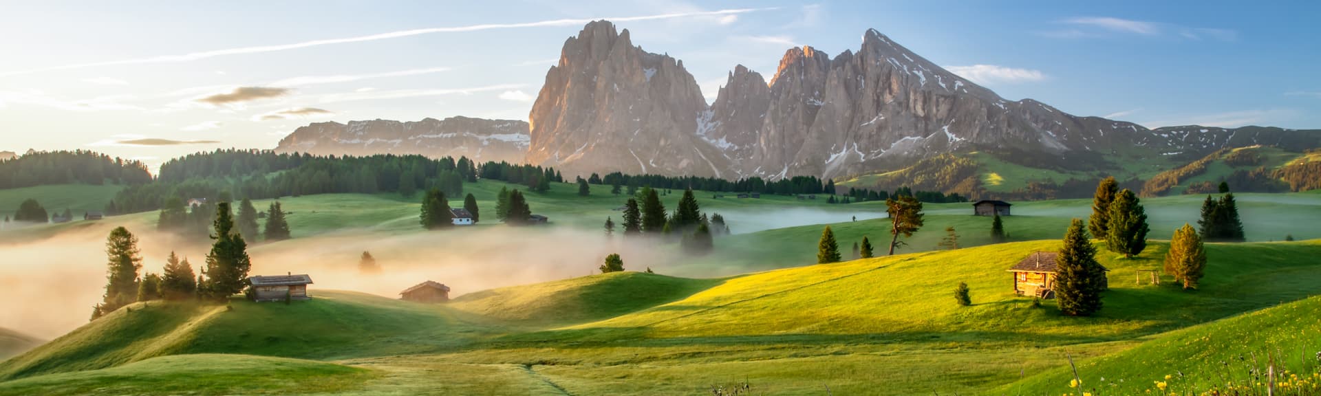
The Apennine ski pass at 1,388 meters where the Granduca's two stone pyramids of 1778 mark the old Tuscan-Modenese border.
Known for
ALPINE SKIING
Around 50 kilometers of pistes across Val di Luce and Doganaccia, the oldest organized ski resort in the central Apennines (1937).
ZENO COLÒ
1952 Olympic downhill gold medalist, born in Cutigliano in 1920, who learned to ski on the slopes above the village.
PIRAMIDI DEL GRANDUCA
Two stone obelisks of 1778 marking the historic border between the Granducato di Toscana and the Ducato di Modena.
When to visit
Best · Jun–Sep, Dec–Mar
- J
- F
- M
- A
- M
- J
- J
- A
- S
- O
- N
- D
- Best
- Hot or crowded
- Quiet
- Mostly closed
The festa: San Bartolomeo, 24 August
Why come
Abetone sits at 1,388 meters on the watershed of the Apennines, where Tuscany meets Emilia-Romagna at the pass of the same name. The merged commune, created in 2017 when Abetone and Cutigliano were joined, runs from 678 meters at Cutigliano up to 1,940 at the summit of Libro Aperto. The two stone pyramids on the pass, the Piramidi del Granduca, were erected in 1778 to mark the border between the Granduchy of Tuscany and the Duchy of Modena after the Brennero road through the pass was opened.
The ski area runs about 50 kilometers of slopes across Val di Luce and Doganaccia, the oldest organized ski resort in the central Apennines, established in 1937. Zeno Colò, the 1952 Olympic downhill gold medalist, was born in Cutigliano in 1920 and grew up on these slopes. The lower village of Cutigliano keeps a Palazzo Pretorio of 1377 with the coats of arms of fourteenth-century podestà set into the façade.

What to see
Piramidi del Granduca
Two stone obelisks erected in 1778 on the Abetone pass, marking the border between Granducato di Toscana and Ducato di Modena.
Val di Luce
Open glacial valley above Abetone with the main ski lift system, around 50 kilometers of pistes shared with Doganaccia.
Palazzo Pretorio di Cutigliano
Fourteenth-century seat of the podestà in the lower village, with podestà coats of arms set into the façade.
Riserva Naturale Abetone
Mixed silver fir and beech forest that gave the pass its name (abete = fir), with trails along the watershed ridge.
Chiesa di San Bartolomeo
Romanesque parish church in Cutigliano, the older religious building in the commune.
The slow-trip planner
Building a trip? Find where Abetone Cutigliano fits in a slow Italy circuit.
Answer five questions. We will shape a geographically coherent slow trip from the 1,000 Italian towns most travelers skip. Yours to save and share.
We recommend
Where to eat and stay
Not our picks, but places the guides put their name to — a Michelin star, a Gambero Rosso fork, a Slow Food snail, a Michelin Key for the hotels. Worth a table, a counter, or a night when you pass through.
Da FagiolinoTrattoria
Da Fagiolino holds two Gambero Rosso prawns.
Nonno CiancoRistorante
Nonno Cianco holds a Slow Food snail.
The Sunday letter
Abetone Cutigliano got its letter. One town every Sunday, free — the photo, the food, the festa.
By subscribing you agree to Substack’s Terms of Use, our Privacy Policy and our Information collection notice.
Living here
- Population 1,825
- Very remotei
- Pharmacy in town
- High school within a 30-minute drive
- Nearest airport Florence / Pisa, 1 h 49 min drive
- Regional capital Firenze, 1 h 32 min drive
Tags & datadesignations · numbers · sources
Recognised as
The numbers
- Elevation: 1388 m
- Population: 1,825
- Surface area: 74.94 km²
These figures were compiled from public directories — ISTAT, OpenStreetMap, Wikidata — and from the official listings of the guides named on this page. Town details change; verify with official sources before you travel.
Close by
More towns near Abetone Cutigliano
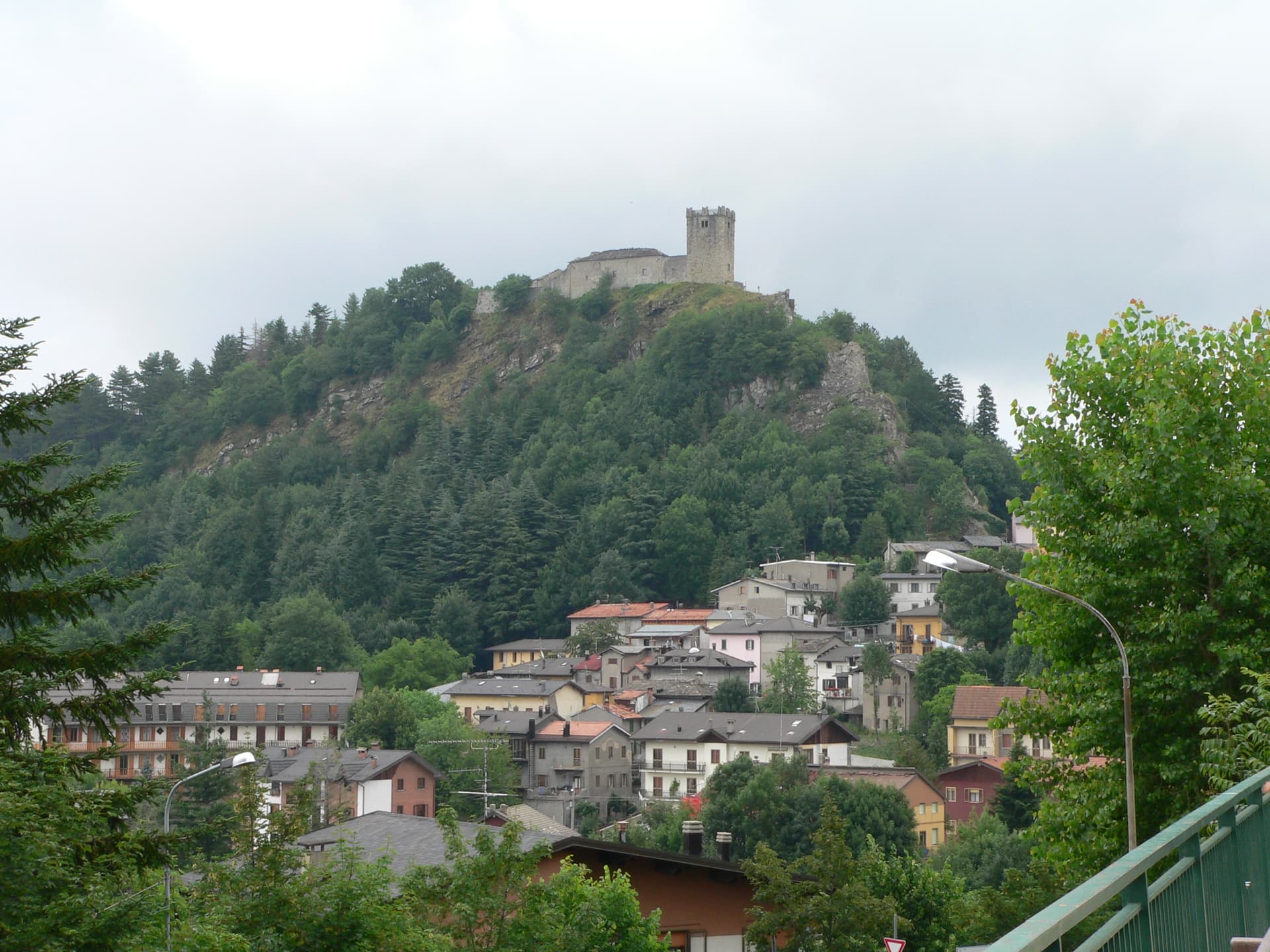
Fiumalbo
Province: Modena
A 935-meter stone village in the Modenese Apennines on the Tuscan border, at the confluence of two rivers under Monte Cimone.
Sestola
Province: Modena
A 1,020-meter Apennine town under Monte Cimone, with a Lombard-era castle above and the largest ski domain of central Italy on the slopes.
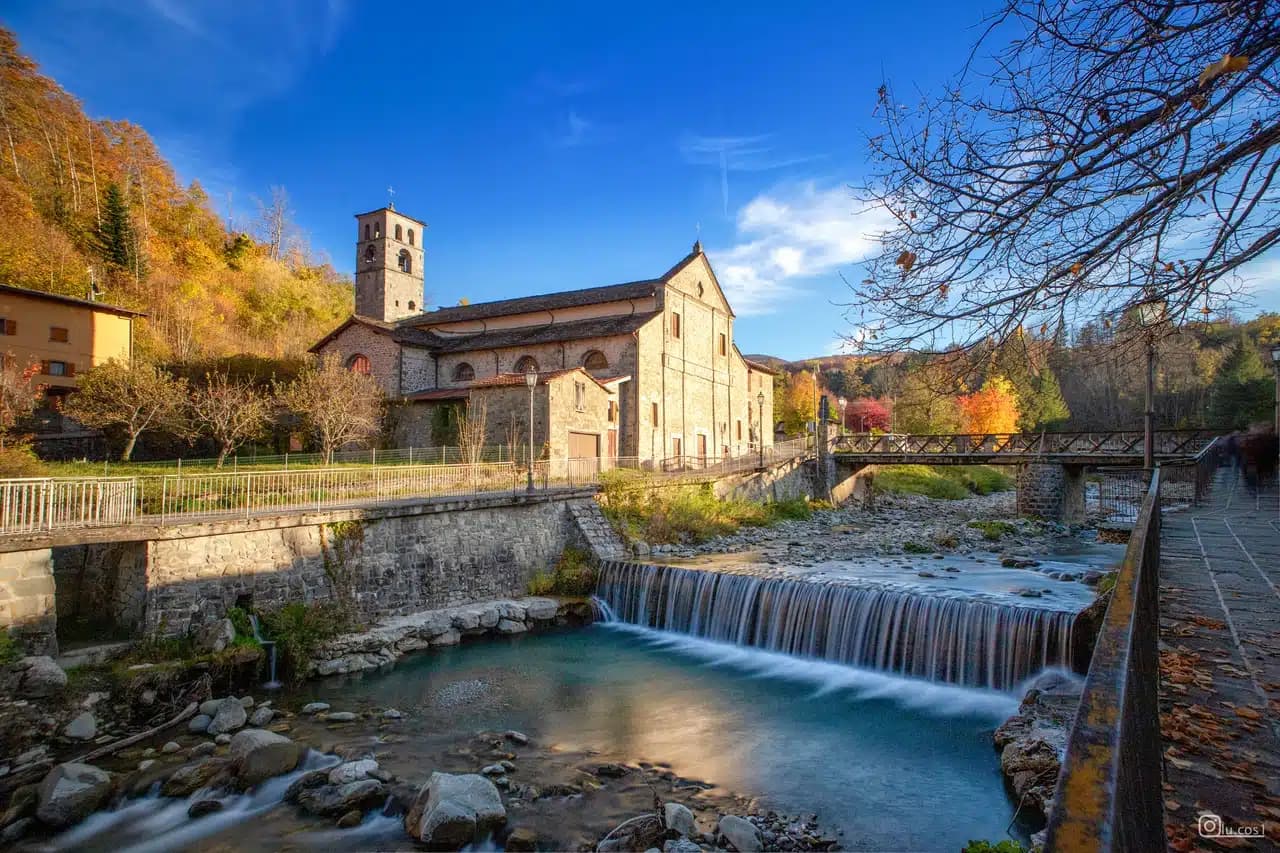
Castiglione di Garfagnana
Province: Lucca
A walled medieval town at 540 meters in the Garfagnana, the Lucca outpost that refused to submit to the Este and held the pass to San Pellegrino.

Pistoia
Province: Pistoia
Italy's nursery capital and the medieval Tuscan rival that gave its name to the pistol — a quietly extraordinary centro storico of zebra-striped Romanesque churches, Andrea della Robbia's polychrome frieze on the Ospedale del Ceppo, and Italy's Capital of Culture 2017, all 30 minutes from Florence by train.
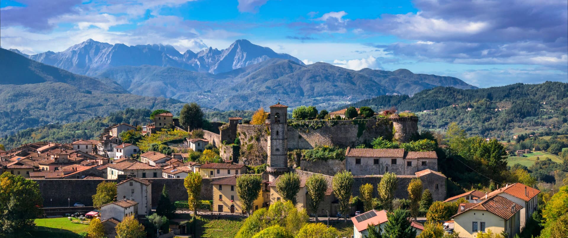
Barga
Province: Lucca
A medieval hilltop town at 410 meters in the Serchio valley between the Apuan Alps and the Apennines, where Giovanni Pascoli wrote his last poems and the August festival serves fish and chips.
🟠 Bandiera Arancione
More Bandiera Arancione towns in Tuscany
Anghiari
Province: Arezzo
A walled medieval town at 430 meters over the upper Tiber valley, where Florence beat Milan in 1440 and Leonardo started the fresco he never finished.
Casale Marittimo
Province: Pisa
A concentric stone borgo at 214 meters above the Val di Cecina, built where a seventh-century BC Etruscan outpost of Volterra once stood.
Castelnuovo Berardenga
Province: Siena
A Chianti Classico commune at 351 meters between the Ombrone and the Crete Senesi, the last castle Siena built against Florence, in 1366.
Castelnuovo di Val di Cecina
Province: Pisa
A copper and geothermal borgo at 576 meters in the Cecina valley, where natural steam vents and medieval towers sit on the same hill.
Castiglion Fiorentino
Province: Arezzo
A walled hill town at 342 meters between Arezzo and Cortona, where Etruscan walls support the medieval Cassero and Vasari's loggia frames the Val di Chiana below.