
Emilia-Romagna · Modena
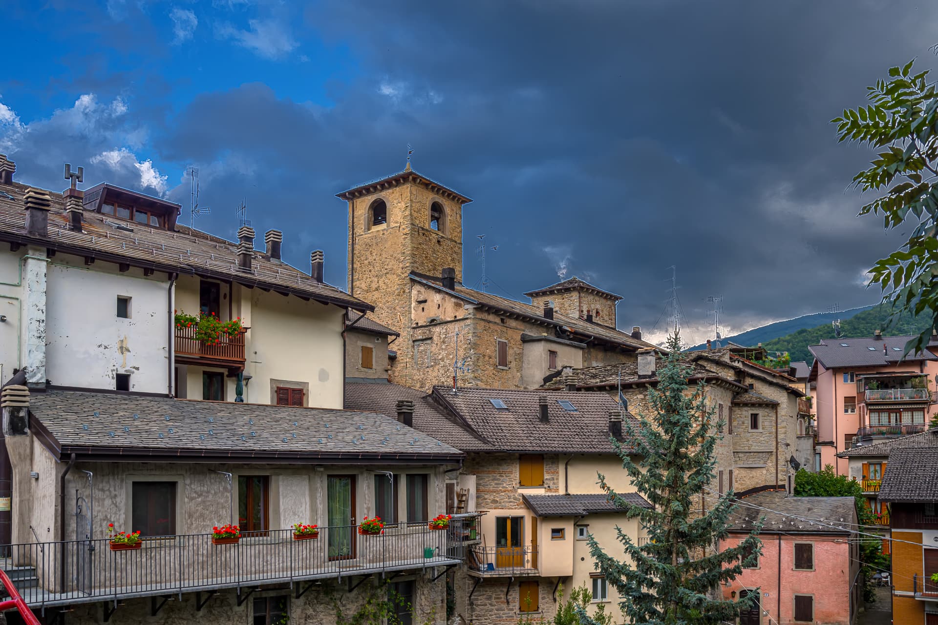
Sestola
A 1,020-meter Apennine town under Monte Cimone, with a Lombard-era castle above and the largest ski domain of central Italy on the slopes.
Known for
ESTE CASTLE
Lombard-era stronghold above the town, the main military garrison of the Este in the Frignano from 1337, now home to three small museums.
CIMONE SKIING
Thirty-one runs and more than fifty kilometers of pistes on Monte Cimone, the largest ski domain in central Italy.
MONTE CIMONE
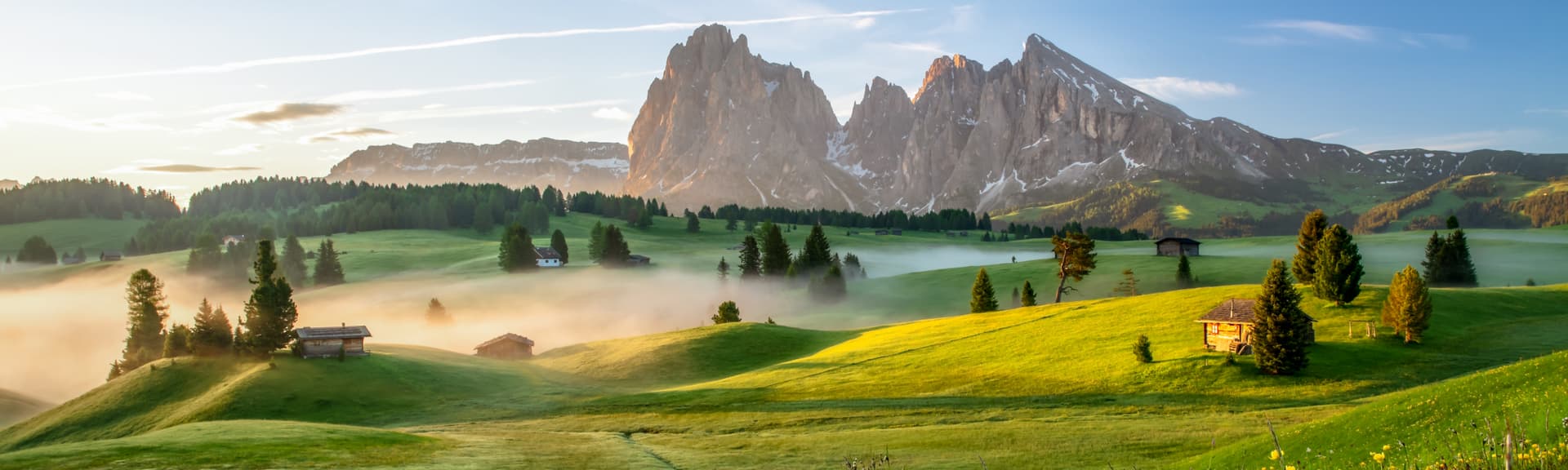
The 2,165-meter summit of the northern Apennines, shared between Sestola, Fanano, Fiumalbo and Riolunato.
When to visit
Best · Jun–Sep, Dec–Mar
- J
- F
- M
- A
- M
- J
- J
- A
- S
- O
- N
- D
- Best
- Hot or crowded
- Quiet
- Mostly closed
Why come
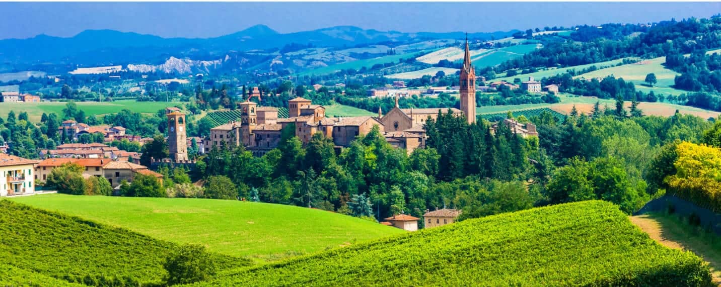
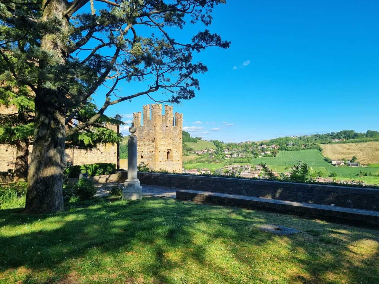
Sestola sits at 1,020 meters on the southern slope of Monte Cimone, fifty kilometers southwest of Bologna and at the head of the Scoltenna valley. The castle on the rock above the town was donated to the Abbey of Nonantola in 753 by the Lombard king Astolfo, then taken in 1337 by the Este of Modena, who made it their most important military garrison in the Frignano district. The Rocca still rises above the centro storico and now holds three small museums dedicated to mechanical instruments, civilisation of the Frignano and military history.
Monte Cimone, at 2,165 meters, is the highest peak of the northern Apennines and is shared between Sestola, Fanano, Fiumalbo and Riolunato. The ski domain that runs across these communes carries thirty-one runs over more than fifty kilometers, from 900 to 1,976 meters, the largest of central Italy. The summer season trades skiers for hikers and for visitors to Lake Ninfa, the small glacial lake at 1,500 meters above town.
The Sunday letter
We haven’t written Sestola’s letter yet.
One town every Sunday, with the photo, the food, the festa. Be there when this one comes up. Free, by Peter & Sophia from Pietrasanta.
By subscribing you agree to Substack’s Terms of Use, our Privacy Policy and our Information collection notice.


What to see
Rocca di Sestola
Castle first documented in 753, granted to Nonantola by King Astolfo, taken by the Este in 1337 and held as their main military garrison in the Frignano.
Museo degli Strumenti Musicali Meccanici
Collection of mechanical music instruments inside the Rocca, from barrel organs to early phonographs.
Monte Cimone
Highest peak of the northern Apennines at 2,165 meters, shared with Fanano, Fiumalbo and Riolunato.
Lago della Ninfa
Small glacial lake at 1,500 meters on the eastern slope of Monte Cimone, with summer paddle-boating and winter snowshoe trails.
Cimone ski domain
Largest ski resort in central Italy, with thirty-one runs and over fifty kilometers of pistes between 900 and 1,976 meters.
The slow-trip planner
Building a trip? Find where Sestola fits in a slow Italy circuit.
Answer five questions. We will shape a geographically coherent slow trip from the 1,000 Italian towns most travelers skip. Yours to save and share.
Living here
- Population 2,410
- Very remotei
- Pharmacy: none mapped
- High school within a 30-minute drive
- Nearest airport Bologna, 1 h 28 min drive
- Regional capital Bologna, 1 h 32 min drive
Tags & datadesignations · numbers · sources
Recognised as
The numbers
- Elevation: 1020 m
- Population: 2,410
- Surface area: 52.47 km²
These figures were compiled from public directories — ISTAT, OpenStreetMap, Wikidata — and from the official listings of the guides named on this page. Town details change; verify with official sources before you travel.
Close by
More towns near Sestola
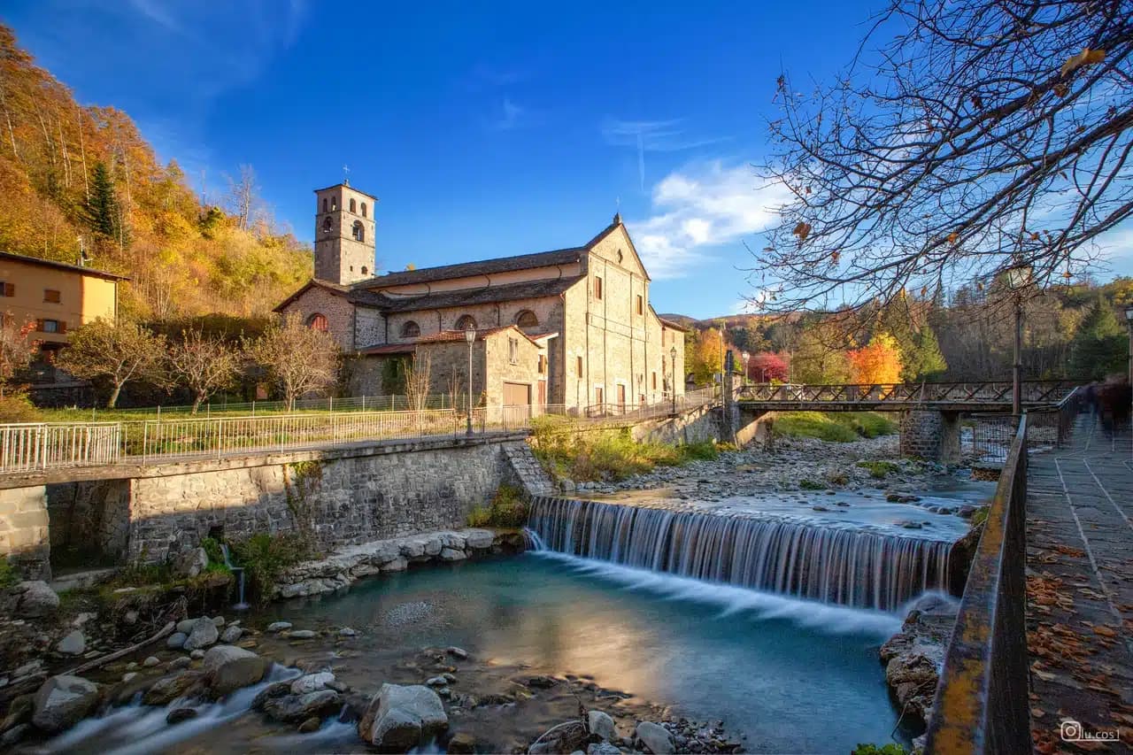
Fanano
Province: Modena
A 640-meter stone-working town in the Modenese Apennines, set among Monte Cimone, Libro Aperto and the upper Frignano peaks.
Fiumalbo
Province: Modena
A 935-meter stone village in the Modenese Apennines on the Tuscan border, at the confluence of two rivers under Monte Cimone.
Abetone Cutigliano
Province: Pistoia
The Apennine ski pass at 1,388 meters where the Granduca's two stone pyramids of 1778 mark the old Tuscan-Modenese border.
Vignola
Province: Modena
The cherry-and-castle town on the Panaro at 125 meters, with the Contrari fortress and Barozzi's self-supporting 1500s spiral staircase.
Castelvetro di Modena
Province: Modena
A 152-meter hill borgo south of Modena whose checkerboard piazza sits above the slopes that grow Lambrusco Grasparossa.
🟠 Bandiera Arancione
More Bandiera Arancione towns in Emilia-Romagna
Bagno di Romagna
Province: Forlì-Cesena
A 491-meter thermal town at the head of the Savio valley, drawing on springs that have run at 47 degrees since Roman times.
Bobbio
Province: Piacenza
A 272-meter Trebbia-valley town built around the abbey Saint Columbanus founded in 614, named Borgo dei Borghi by RAI in 2019.
Brisighella
Province: Ravenna
A Lamone-valley borgo at 115 meters under three selenite hills crowned by a fortress, a clock tower, and a sanctuary.
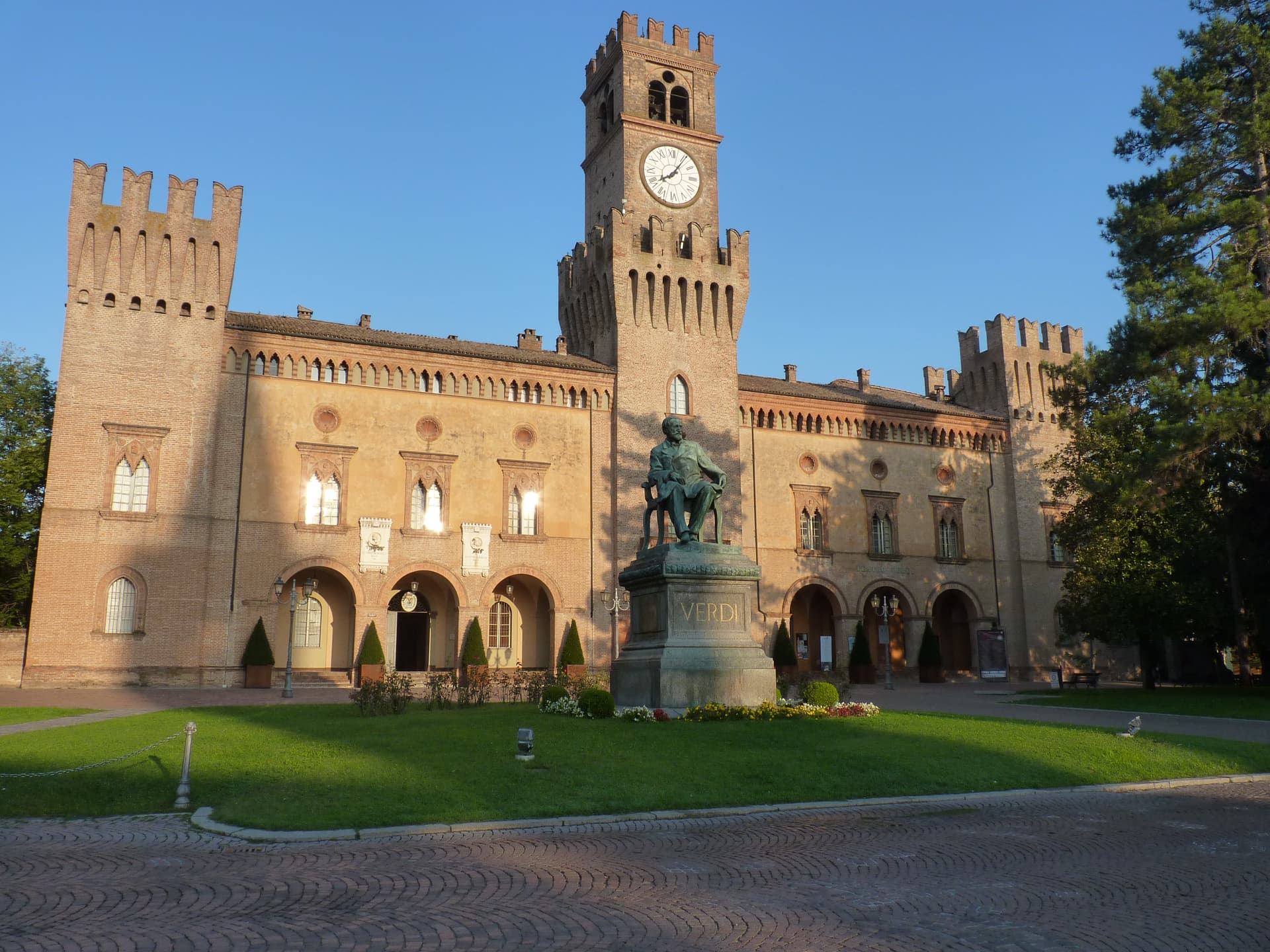
Busseto
Province: Parma
A 40-meter Bassa Parmense town where Giuseppe Verdi grew up, with a 300-seat opera house in the Rocca he refused to enter.
Castell'Arquato
Province: Piacenza
A 224-meter hilltop borgo in the Val d'Arda, kept intact since the tenth century and crowned by Luchino Visconti's 1342 fortress.