
Emilia-Romagna · Modena
Fiumalbo
A 935-meter stone village in the Modenese Apennines on the Tuscan border, at the confluence of two rivers under Monte Cimone.
Known for
STONE VILLAGE
Sandstone medieval borgo at 935 meters, almost entirely intact, considered one of the best-preserved settlements in the Frignano.
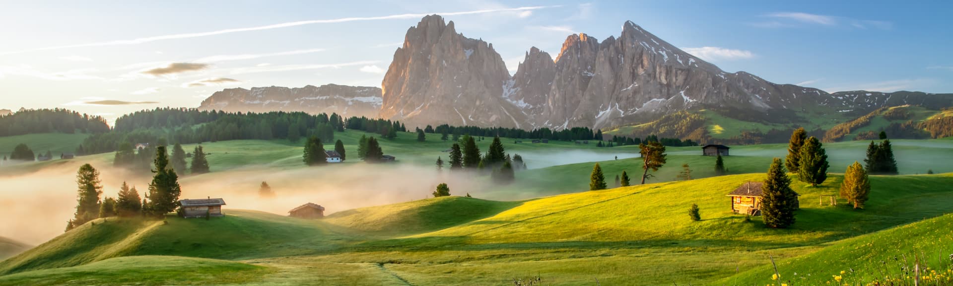
MONTE CIMONE
The 2,165-meter peak above the town, the highest of the northern Apennines, accessible by trail from the upper frazioni in summer.
ORATORIO DEI BIANCHI
Fifteenth-century lay-confraternity oratory with a painted wooden coffered ceiling and Renaissance frescoes.
When to visit
Best · May–Oct
- J
- F
- M
- A
- M
- J
- J
- A
- S
- O
- N
- D
- Best
- Hot or crowded
- Quiet
- Mostly closed
Why come
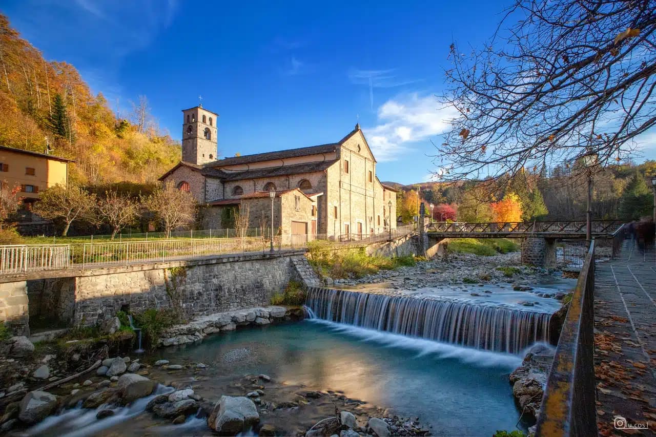
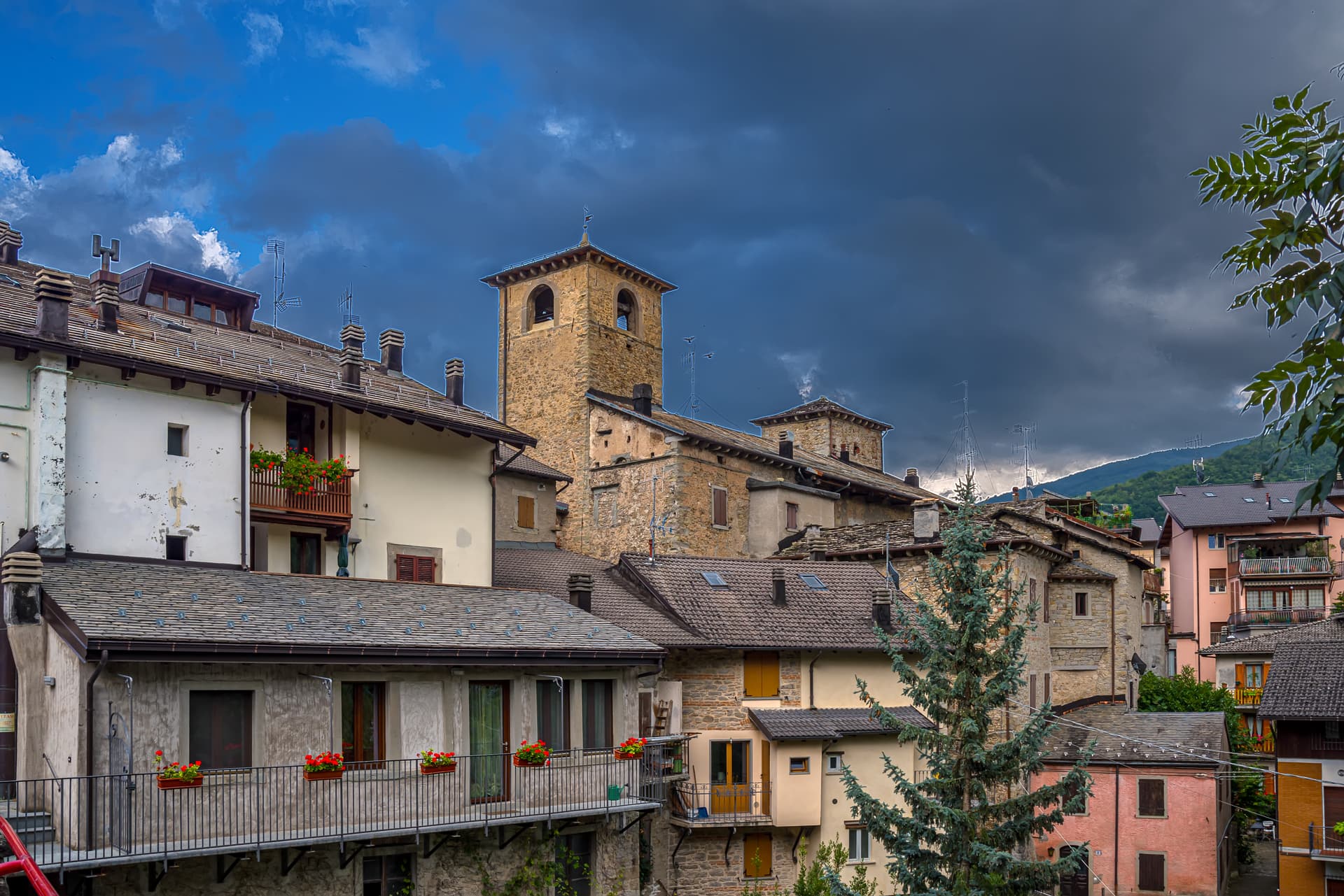
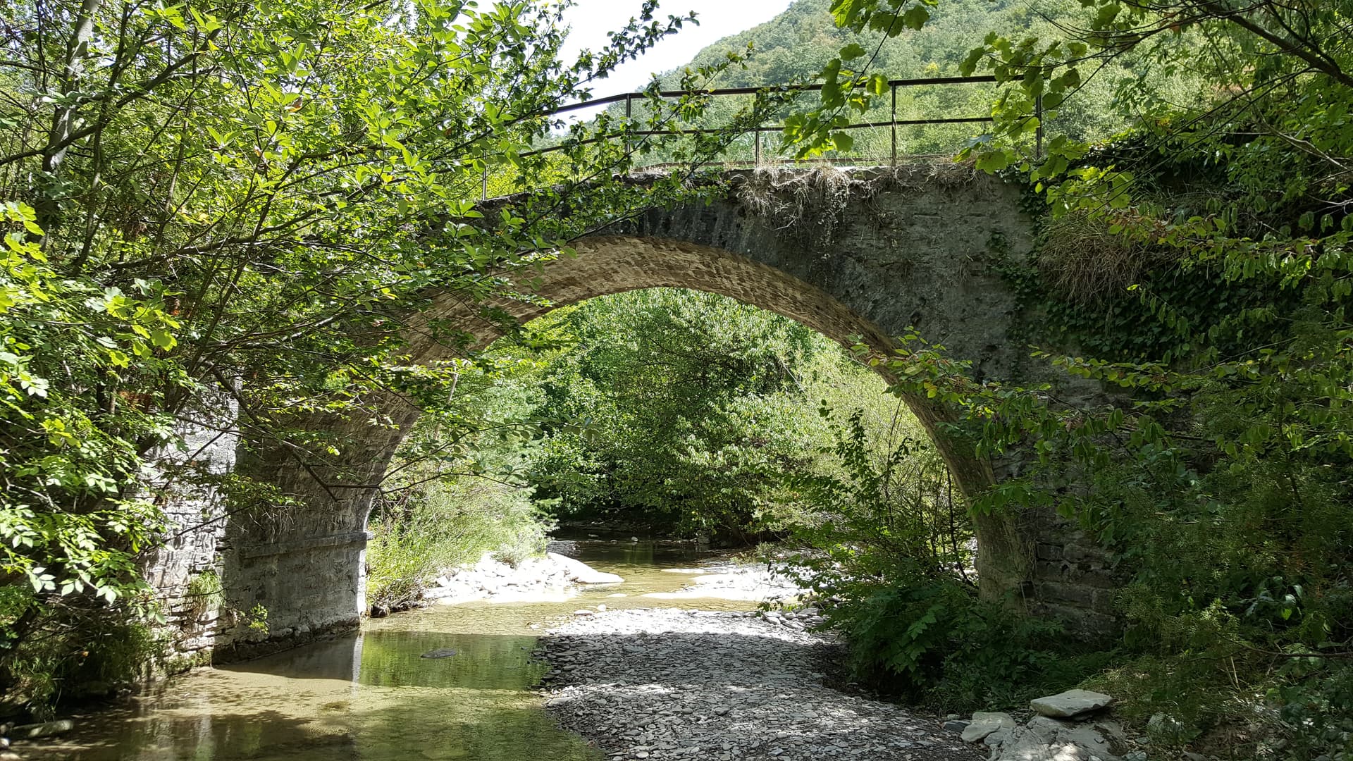
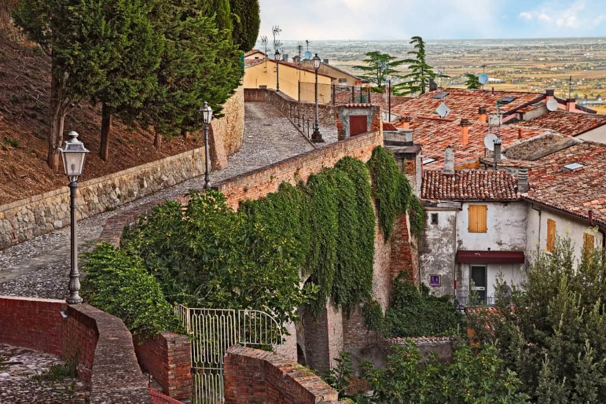
Fiumalbo sits at 935 meters in the upper Frignano, at the confluence of the Rio Acquicciola and the Rio delle Pozze, which join here to form the Scoltenna. The village is the last Modenese commune before the Tuscan border at the Foce a Giovo pass, and the territory rises from 800 meters at the river to the 2,165 meters of Monte Cimone, the highest peak in the northern Apennines. The medieval centro storico is built almost entirely in local sandstone, the houses packed tight along the narrow streets that drop from the parish church of San Bartolomeo to the river.
The town has been documented for almost a thousand years; the older history is lost. The Oratorio dei Bianchi, the small fifteenth-century lay-confraternity oratory with its painted wooden ceiling, is the artistic anchor of the village. Population 1,175. The municipality falls inside the Parco del Frignano and holds Borghi più belli and Bandiera Arancione status.
The Sunday letter
We haven’t written Fiumalbo’s letter yet.
One town every Sunday, with the photo, the food, the festa. Be there when this one comes up. Free, by Peter & Sophia from Pietrasanta.
By subscribing you agree to Substack’s Terms of Use, our Privacy Policy and our Information collection notice.

What to see
Chiesa di San Bartolomeo
Parish church on the upper part of the village, with a Romanesque core, a fifteenth-century rebuilding and a baroque interior.
Oratorio dei Bianchi
Small fifteenth-century oratory of the lay confraternity of the Bianchi, with a painted wooden coffered ceiling and Renaissance frescoes.
Borgo di Fiumalbo
Sandstone medieval village built tight along narrow streets between the parish church and the river, almost entirely intact.
Monte Cimone
At 2,165 meters the highest peak in the northern Apennines, reached by trail from the upper frazioni and visible from the centro storico.
Parco del Frignano
Regional park covering the upper Modenese Apennines, with beech and silver-fir forest, glacial lakes and the Scoltenna river system.
The slow-trip planner
Building a trip? Find where Fiumalbo fits in a slow Italy circuit.
Answer five questions. We will shape a geographically coherent slow trip from the 1,000 Italian towns most travelers skip. Yours to save and share.
Living here
- Population 1,175
- Very remotei
- Pharmacy in town
- High school within a 30-minute drive
- Nearest airport Bologna, 1 h 51 min drive
- Regional capital Bologna, 1 h 55 min drive
Tags & datadesignations · numbers · sources
The numbers
- Elevation: 935 m
- Population: 1,175
- Surface area: 39.14 km²
These figures were compiled from public directories — ISTAT, OpenStreetMap, Wikidata — and from the official listings of the guides named on this page. Town details change; verify with official sources before you travel.
Close by
More towns near Fiumalbo
Abetone Cutigliano
Province: Pistoia
The Apennine ski pass at 1,388 meters where the Granduca's two stone pyramids of 1778 mark the old Tuscan-Modenese border.
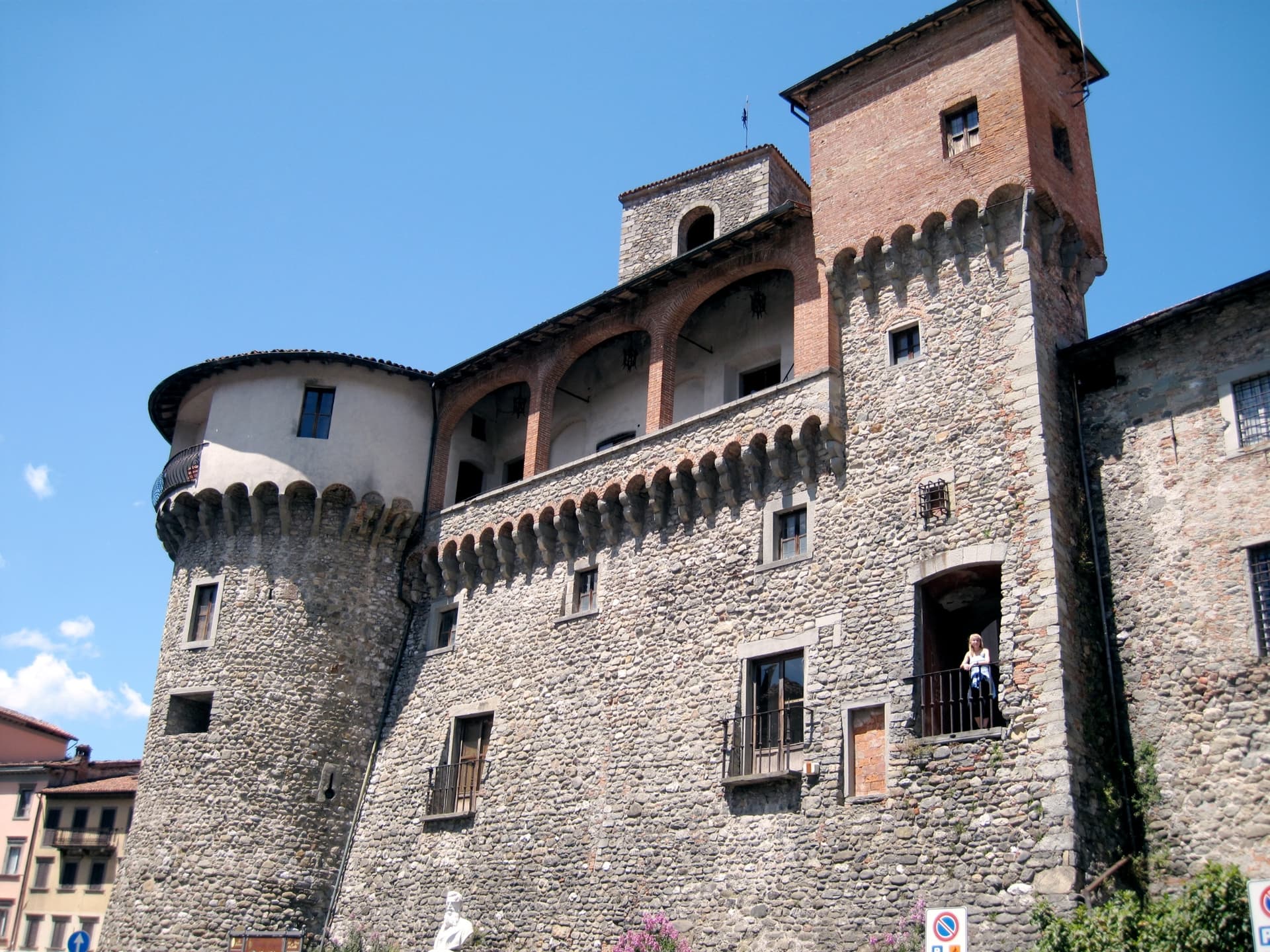
Sestola
Province: Modena
A 1,020-meter Apennine town under Monte Cimone, with a Lombard-era castle above and the largest ski domain of central Italy on the slopes.
Castiglione di Garfagnana
Province: Lucca
A walled medieval town at 540 meters in the Garfagnana, the Lucca outpost that refused to submit to the Este and held the pass to San Pellegrino.
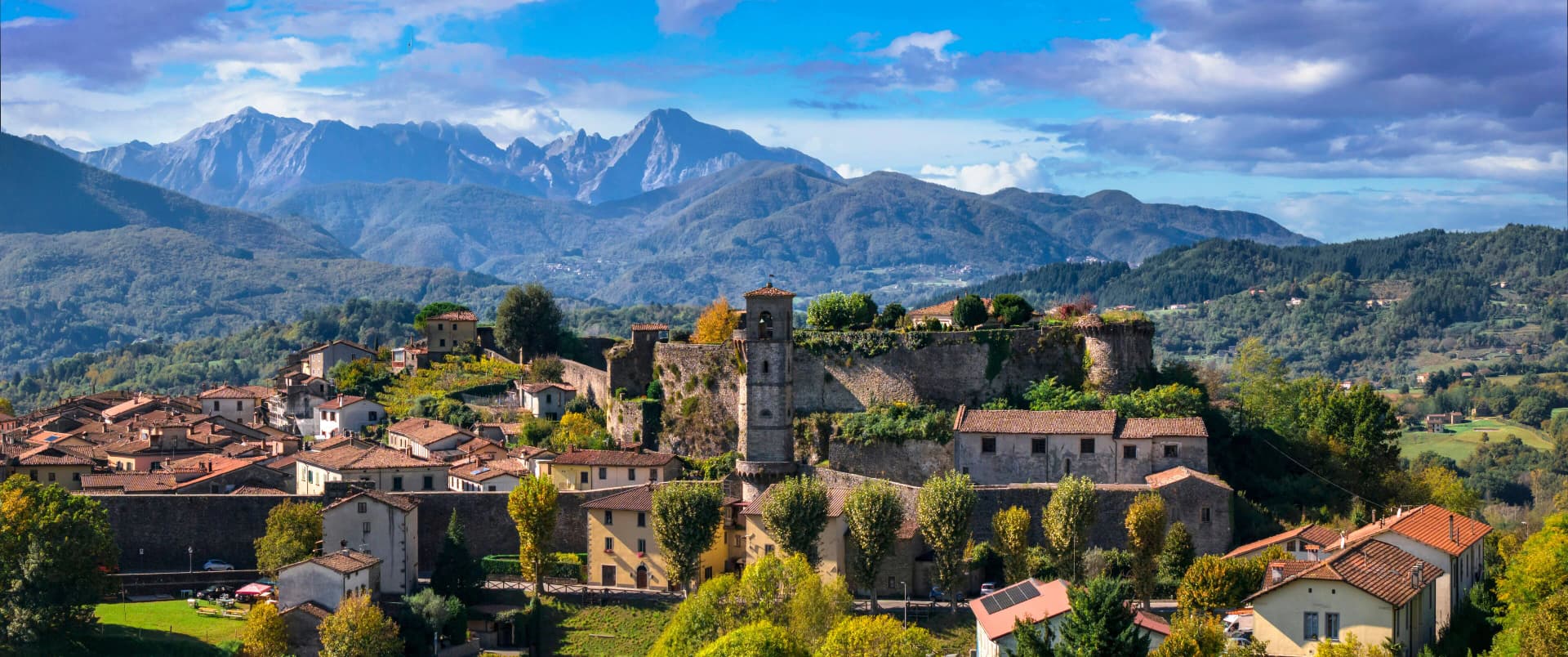
Castelnuovo di Garfagnana
Province: Lucca
The Garfagnana capital where Ariosto served as Este governor — a fortified medieval borgo at the confluence of the Serchio and the Turrite where the Tuscan Apennines meet the Alpi Apuane, and where the local farro IGP and chestnut flour are the foundation of one of Italy's most distinctive mountain kitchens.
Fanano
Province: Modena
A 640-meter stone-working town in the Modenese Apennines, set among Monte Cimone, Libro Aperto and the upper Frignano peaks.
🎨 Borghi più belli d'Italia
More Borghi più belli d'Italia towns in Emilia-Romagna
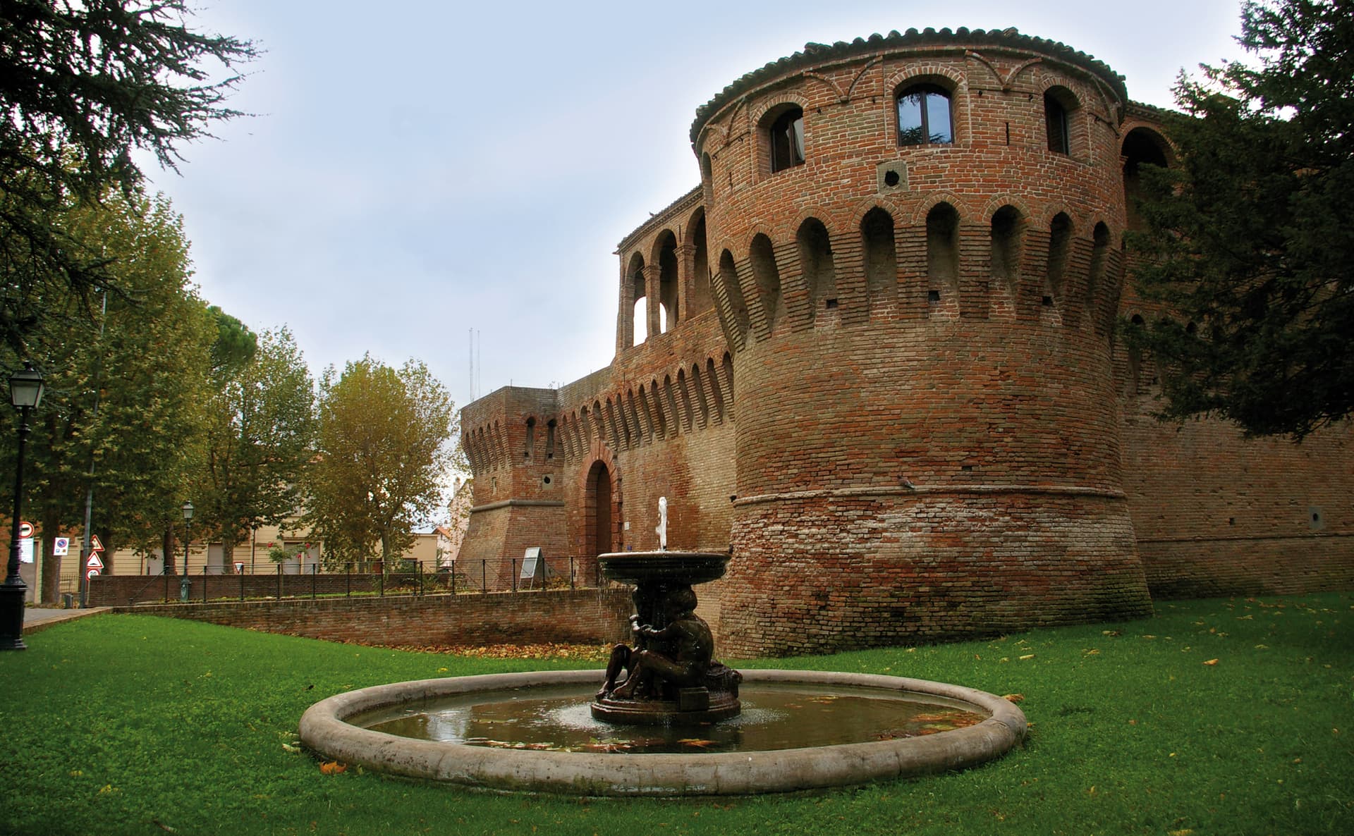
Bagnara di Romagna
Province: Ravenna
A 22-meter plain commune in the Bassa Romagna, the only fully preserved medieval castrum surviving in the Romagna lowlands.
Bagno di Romagna
Province: Forlì-Cesena
A 491-meter thermal town at the head of the Savio valley, drawing on springs that have run at 47 degrees since Roman times.
Bertinoro
Province: Forlì-Cesena
A 254-meter Romagna-hill borgo above the Via Emilia, with a twelve-ring hospitality column from 1300 and the slopes that grow Albana DOCG.
Bobbio
Province: Piacenza
A 272-meter Trebbia-valley town built around the abbey Saint Columbanus founded in 614, named Borgo dei Borghi by RAI in 2019.
Brisighella
Province: Ravenna
A Lamone-valley borgo at 115 meters under three selenite hills crowned by a fortress, a clock tower, and a sanctuary.