

Emilia-Romagna · Forlì-Cesena
Bertinoro
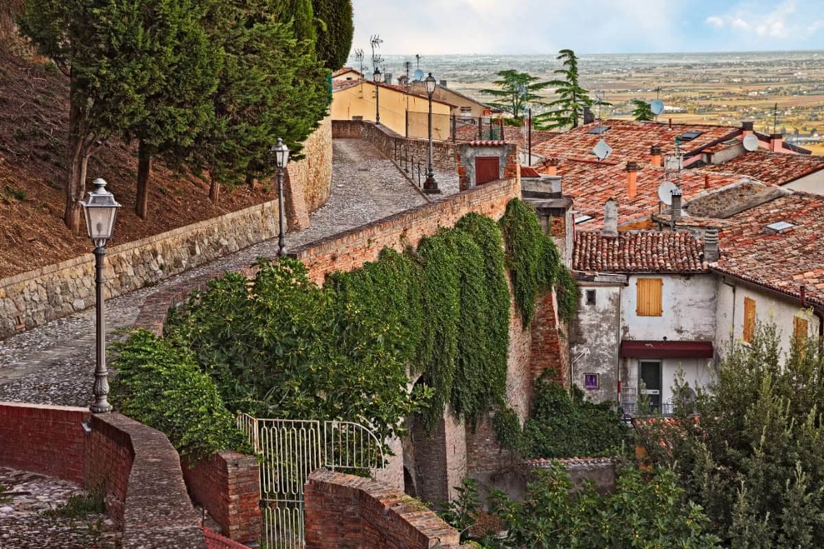
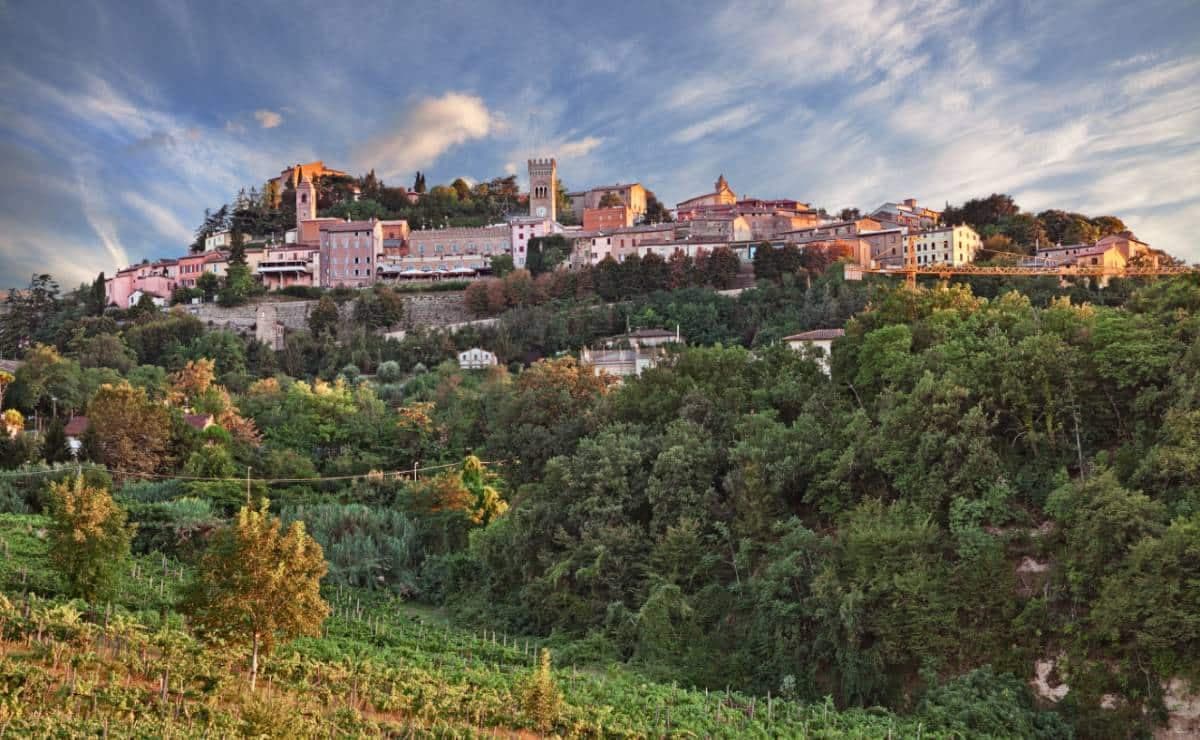
A 254-meter Romagna-hill borgo above the Via Emilia, with a twelve-ring hospitality column from 1300 and the slopes that grow Albana DOCG.
Known for
ALBANA DOCG
First Italian white wine to receive DOCG status, in 1987, grown on the clay-sandstone slopes around the borgo.
COLONNA DELLE ANELLA
Twelve-ring stone column from 1300; arriving visitors tied their horse to a ring and were hosted by the noble family who owned it.
BALCONE DI ROMAGNA
Panoramic terrace below the Rocca, looking out across the Romagna plain to the Adriatic on clear days and to the Apennines southward.
When to visit
Best · Apr–Oct
- J
- F
- M
- A
- M
- J
- J
- A
- S
- O
- N
- D
- Best
- Hot or crowded
- Quiet
- Mostly closed
The festa: Caterina d'Alessandria, 25 November
Why come
Bertinoro sits on Mount Cesubeo, a few kilometers south of the Via Emilia between Forlì and Cesena, the Romagna hills rolling toward the Adriatic on a clear day visible from the panoramic balcony locals call the Belvedere. The town's signature object is the Colonna delle Anella in Piazza della Libertà, a white-stone column with twelve iron rings, erected in 1300 by the noble families of the borgo so visitors arriving from the Via Emilia could tie their horse to a ring and be hosted by the family it belonged to. The Albana grape grown on the surrounding slopes became, in 1987, the first Italian white wine to receive DOCG status; the artist Guerrino Bardeggia's Campana dell'Albana still rings to mark the opening of the harvest.
Bertinoro joined the Borghi più belli d'Italia network in 2025. The municipality holds two institutional signals: Borghi più belli, Città del Vino. Population 11,026.
The Sunday letter
We haven’t written Bertinoro’s letter yet.
One town every Sunday, with the photo, the food, the festa. Be there when this one comes up. Free, by Peter & Sophia from Pietrasanta.
By subscribing you agree to Substack’s Terms of Use, our Privacy Policy and our Information collection notice.
What to see
Colonna delle Anella
White-stone column with twelve iron rings, erected 1300 in Piazza della Libertà so visitors could tie their horse to the ring of the family who would host them.
Rocca Vescovile
Tenth-century fortress on the summit of Mount Cesubeo, expanded by the Ordelaffi and Malatesta and used as the bishop's residence from the sixteenth century.
Cattedrale di Santa Caterina
Sixteenth-century cathedral on the upper part of the borgo, rebuilt over an earlier Pieve dedicated to Saint Catherine of Alexandria.
Balcone di Romagna
Panoramic terrace below the Rocca, with views across the Romagna hills to the Adriatic on clear days and to the Apennines southward.
Piazza della Libertà
Central square framed by the Palazzo Comunale, the Palazzo Ordelaffi and the Torre dell'Orologio, with the hospitality column at its centre.
The slow-trip planner
Building a trip? Find where Bertinoro fits in a slow Italy circuit.
Answer five questions. We will shape a geographically coherent slow trip from the 1,000 Italian towns most travelers skip. Yours to save and share.
Living here
- Population 11,026
- Commuter belti
- Pharmacy in town
- High school within a 30-minute drive
- Nearest airport Rimini, 1 h 3 min drive
- Regional capital Bologna, 1 h 12 min drive
Tags & datadesignations · numbers · sources
Recognised as
The numbers
- Elevation: 254 m
- Population: 11,026
- Surface area: 57.25 km²
These figures were compiled from public directories — ISTAT, OpenStreetMap, Wikidata — and from the official listings of the guides named on this page. Town details change; verify with official sources before you travel.
Featured on
Bertinoro appears on this themed pick from our Collections:
Close by
More towns near Bertinoro
Cervia
Province: Ravenna
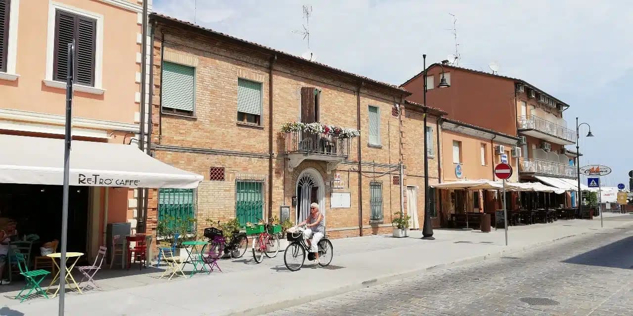
The Adriatic salt town with 827 hectares of working saline, planned in 1697 around a grid of salt workers' houses.
Longiano
Province: Forlì-Cesena
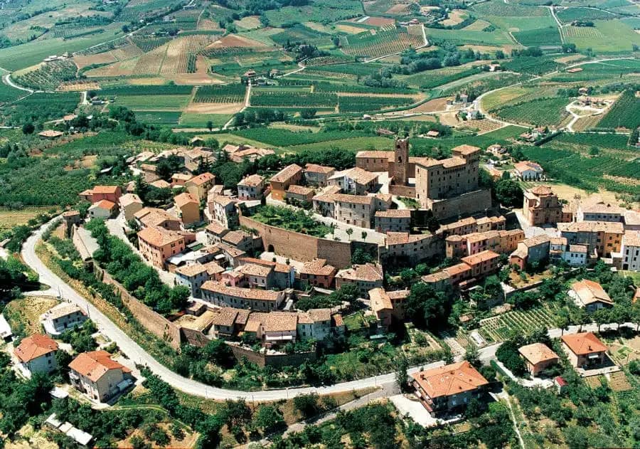
A 179-meter Malatesta borgo on the hills between Cesena and Rimini, holding the Tito Balestra collection inside the family castle.
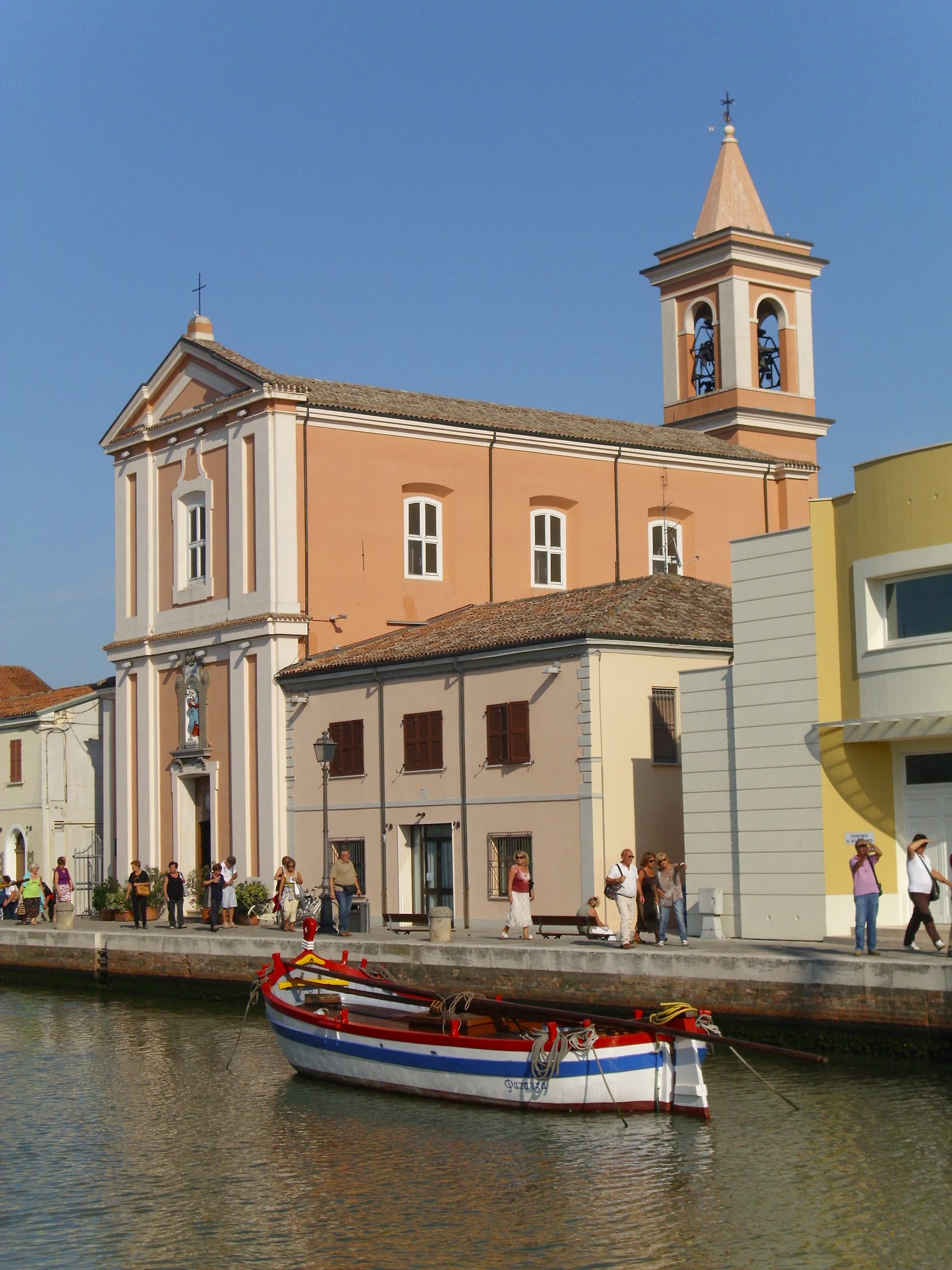
Cesenatico
Province: Forlì-Cesena
An Adriatic fishing port whose canal was redrawn by Leonardo da Vinci in 1502, with ten historic sailboats moored as a floating museum.
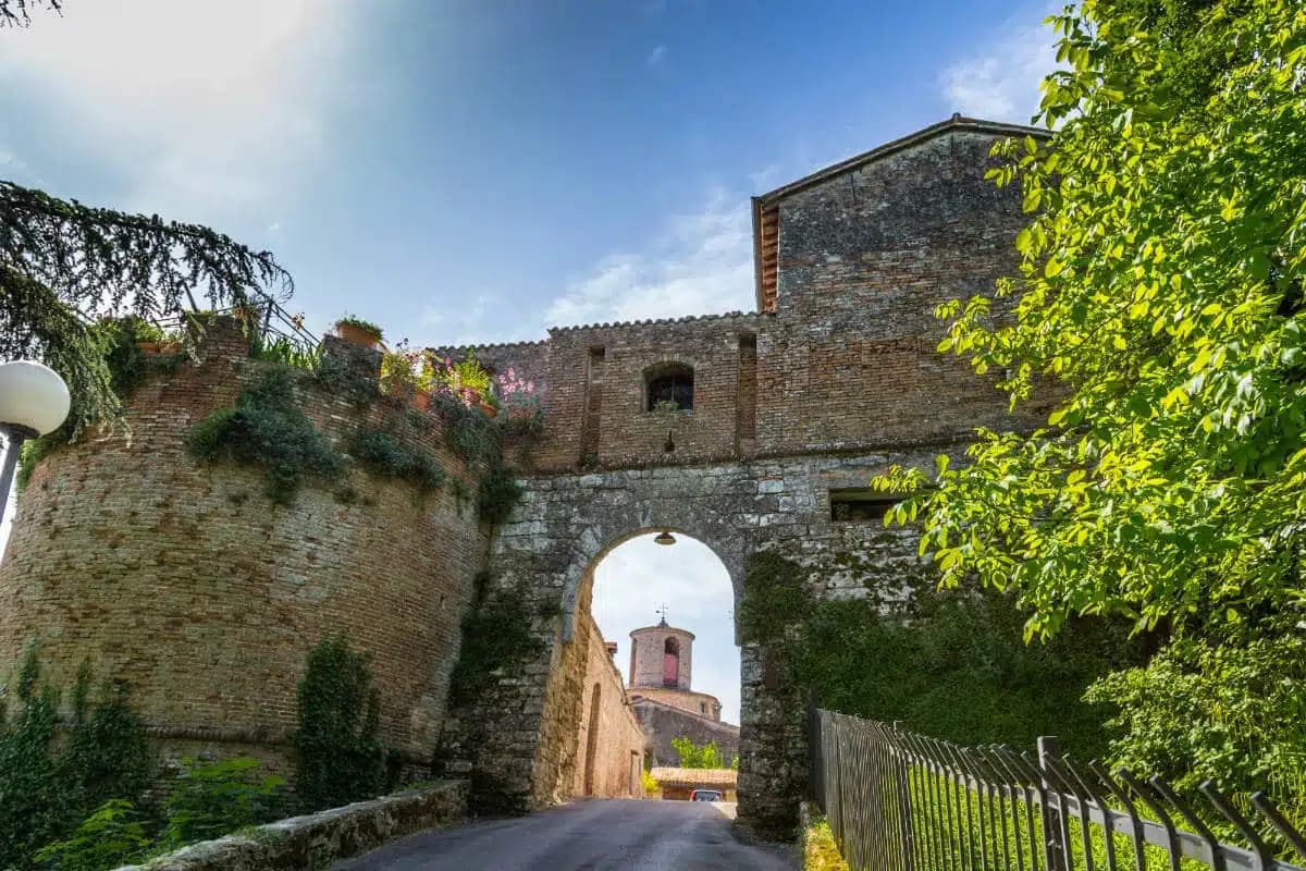
Castrocaro Terme e Terra del Sole
Province: Forlì-Cesena
A pairing of two towns: a ninth-century fortress at Castrocaro and Cosimo I de' Medici's planned Renaissance fortress of Terra del Sole, founded 1564.
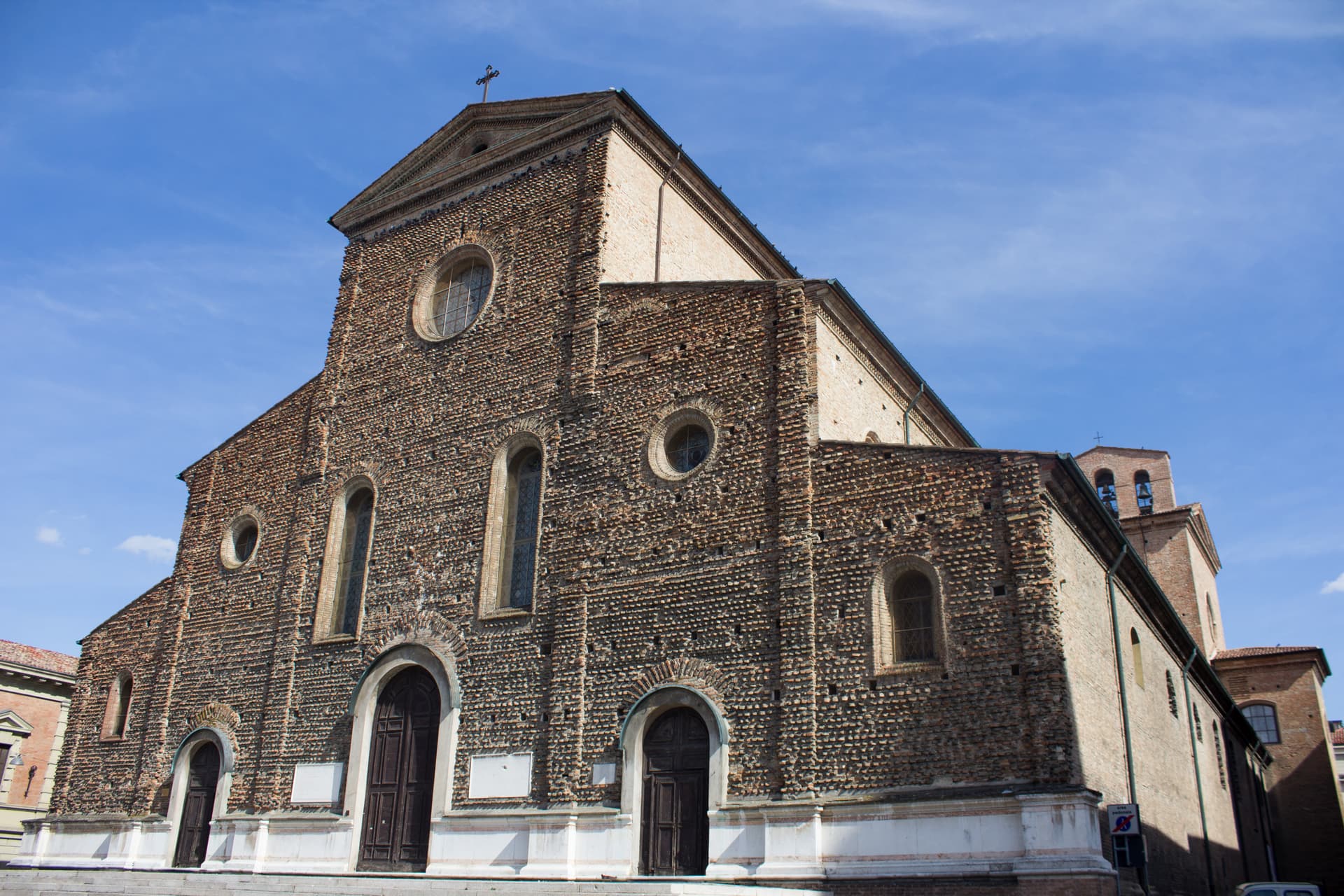
Faenza
Province: Ravenna
The city that gave its name to faïence, with a tin-glazed maiolica tradition since the fourteenth century and the world ceramics museum since 1908.
🎨 Borghi più belli d'Italia
More Borghi più belli d'Italia towns in Emilia-Romagna
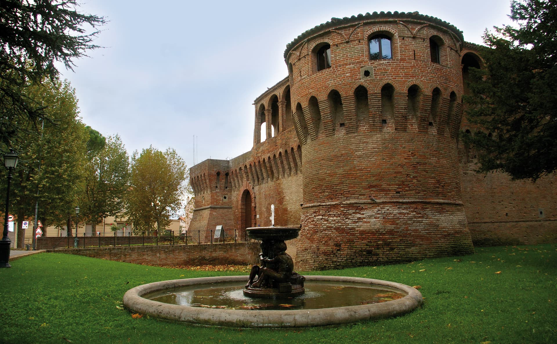
Bagnara di Romagna
Province: Ravenna
A 22-meter plain commune in the Bassa Romagna, the only fully preserved medieval castrum surviving in the Romagna lowlands.
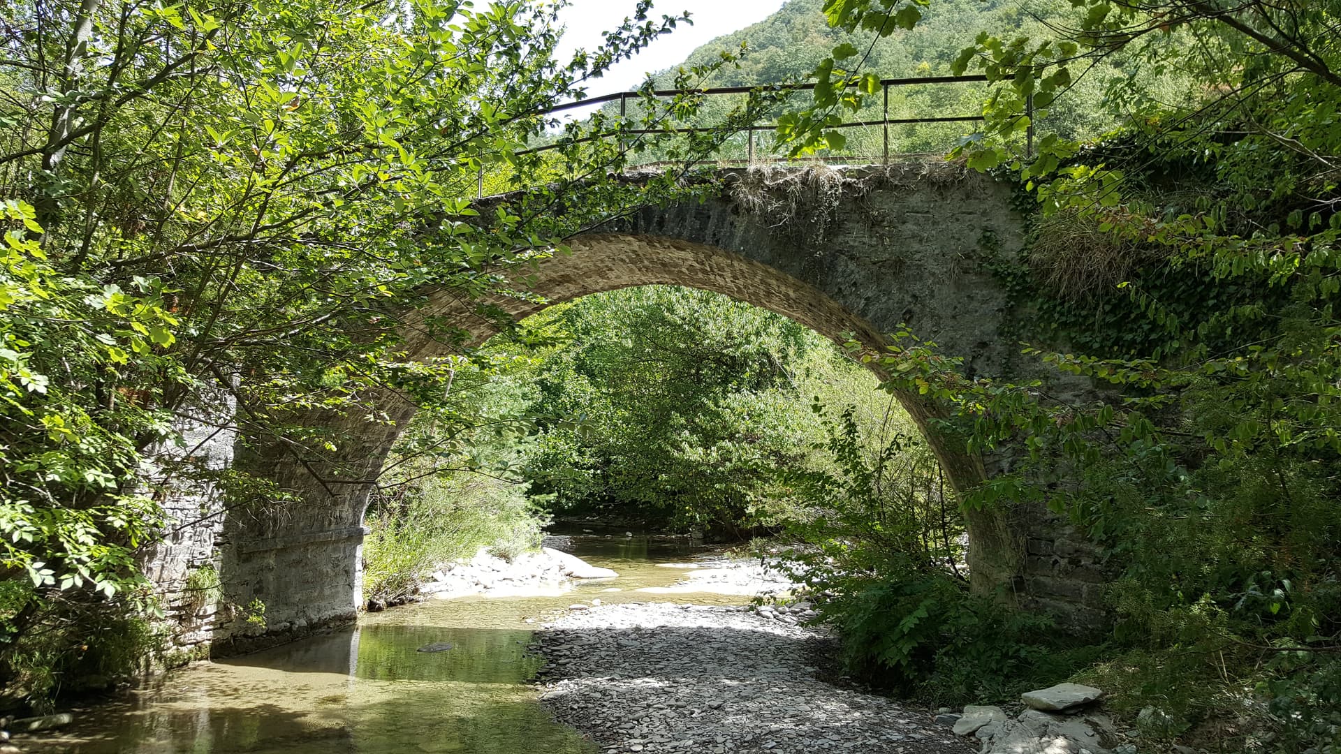
Bagno di Romagna
Province: Forlì-Cesena
A 491-meter thermal town at the head of the Savio valley, drawing on springs that have run at 47 degrees since Roman times.
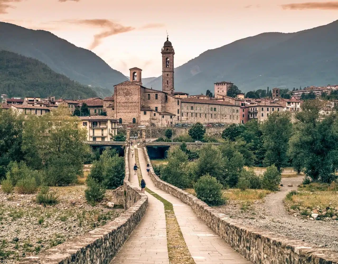
Bobbio
Province: Piacenza
A 272-meter Trebbia-valley town built around the abbey Saint Columbanus founded in 614, named Borgo dei Borghi by RAI in 2019.
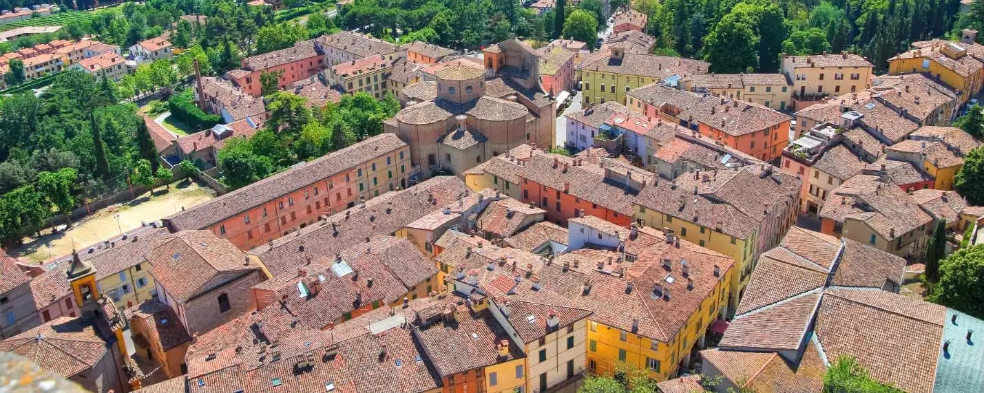
Brisighella
Province: Ravenna
A Lamone-valley borgo at 115 meters under three selenite hills crowned by a fortress, a clock tower, and a sanctuary.
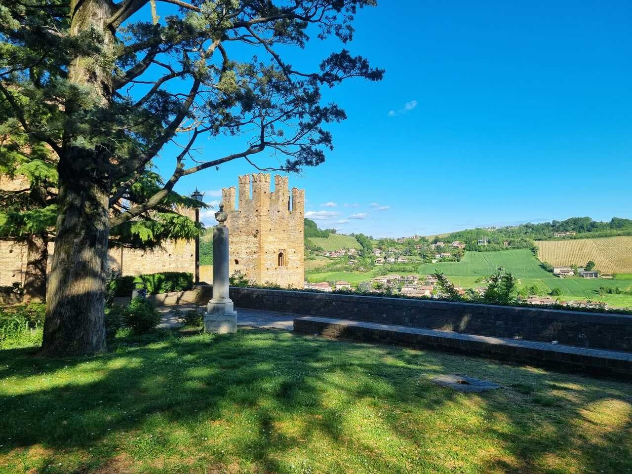
Castell'Arquato
Province: Piacenza
A 224-meter hilltop borgo in the Val d'Arda, kept intact since the tenth century and crowned by Luchino Visconti's 1342 fortress.