
Designation
Riserva Naturale
129 towns across 16 regions
Browse by region
Abruzzo23
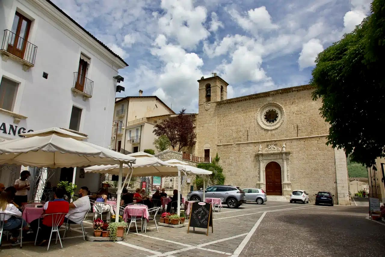
Anversa degli Abruzzi
Province: L'Aquila · 604 m
At 604 meters above the Sagittario Gorges, the cliff village where D'Annunzio set La Fiaccola sotto il moggio in 1905.
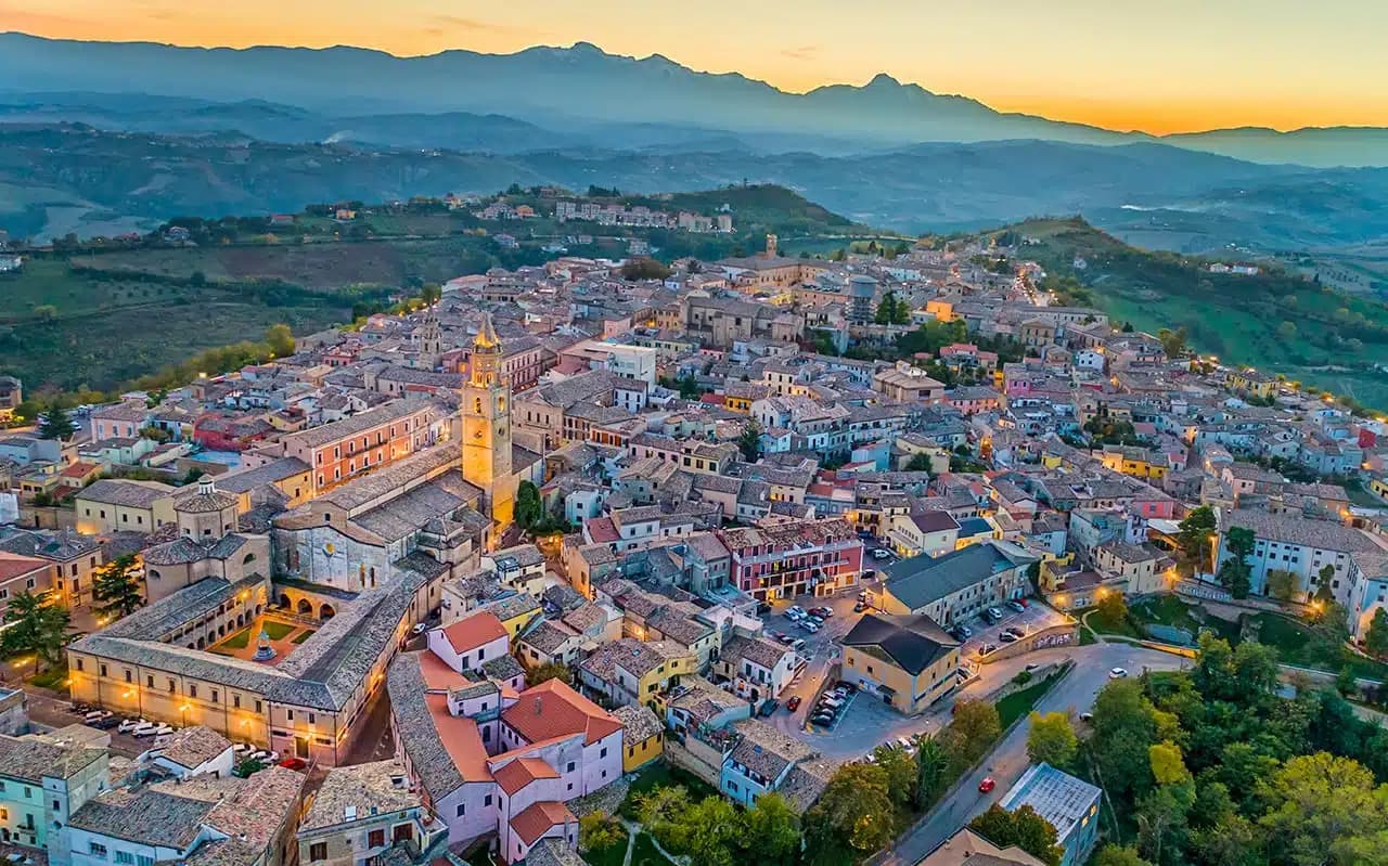
Atri
Province: Teramo · 442 m
At 442 meters on three hills ten kilometers from the Adriatic, ancient Hadria, source of the emperor Hadrian's family name and the Adriatic's.
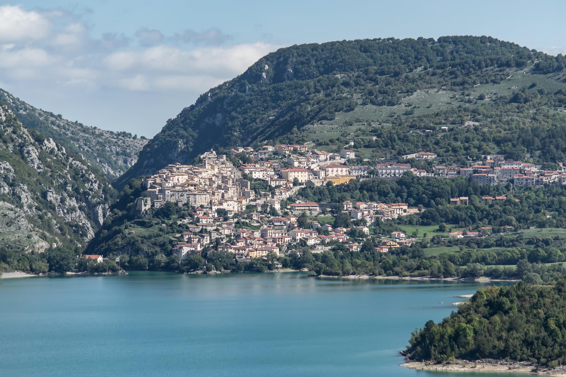
Barrea
Province: L'Aquila · 1,066 m
A 1,066-meter spur above an artificial lake at the heart of the Abruzzo National Park, with a Samnite necropolis and an 11th-century di Sangro castle.
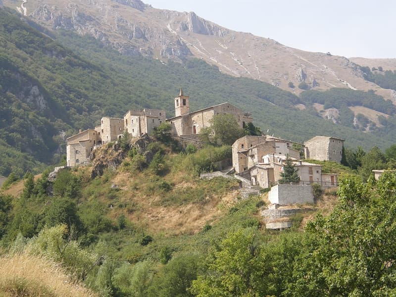
Caramanico Terme
Province: Pescara · 650 m
A 650-meter Majella spa village at the confluence of the Orfento and Orta, with sulphurous springs whose properties were documented in 1576.
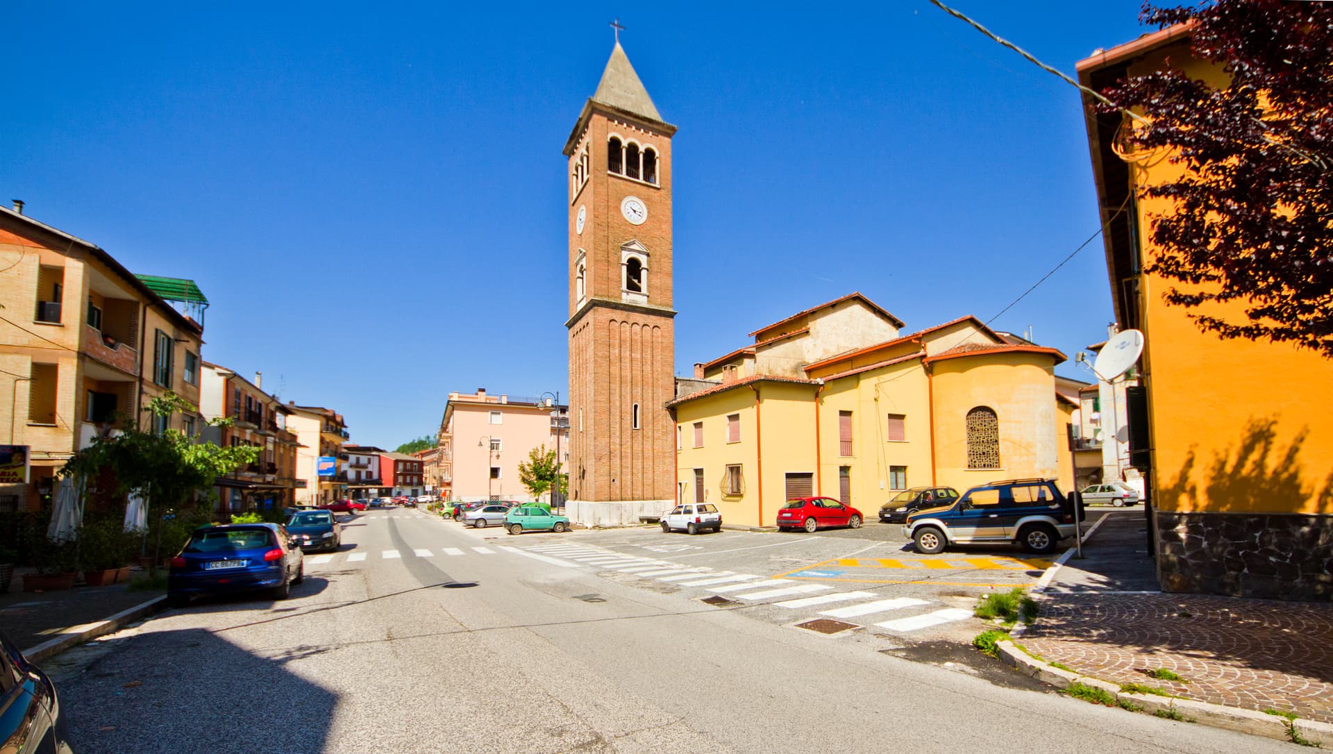
Carsoli
Province: L'Aquila · 616 m
A 616-meter mountain town in the Marsica, built next to the ruins of Roman Carsioli, the 4th-century BC fortress on the road to Alba Fucens.
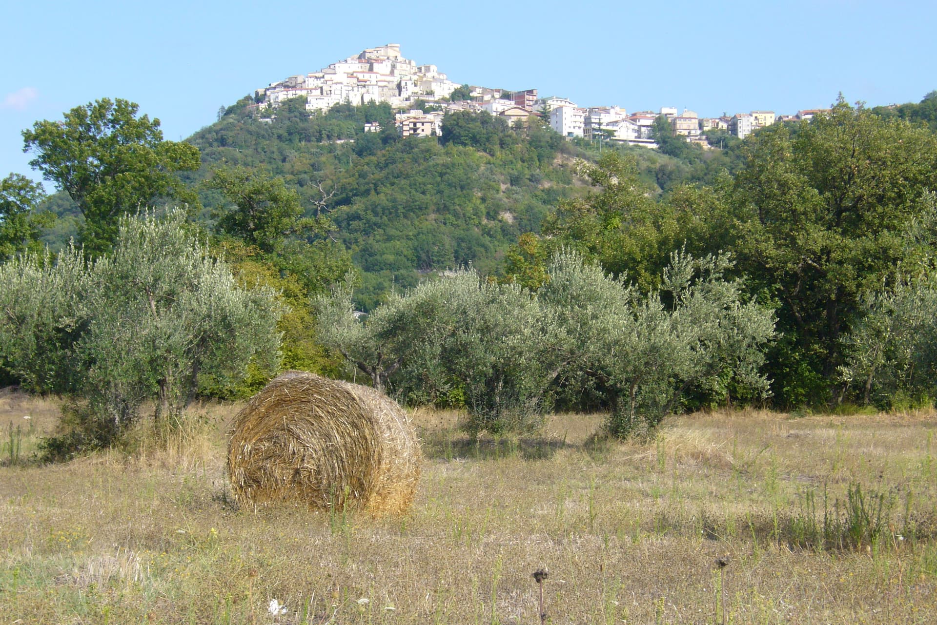
Casoli
Province: Chieti · 378 m
A 378-meter hill town above the Aventino under the Maiella, with a pentagonal Norman tower where Gabriele D'Annunzio held a Renaissance court of artists.
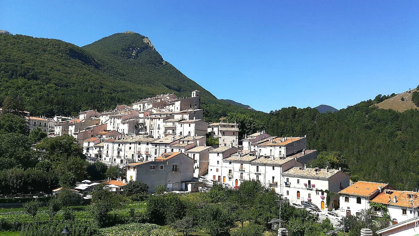
Civitella Alfedena
Province: L'Aquila · 1,123 m
At 1,123 meters above Lake Barrea, 285 residents, the trailhead for the Camosciara reserve and home of the Apennine Wolf Museum.
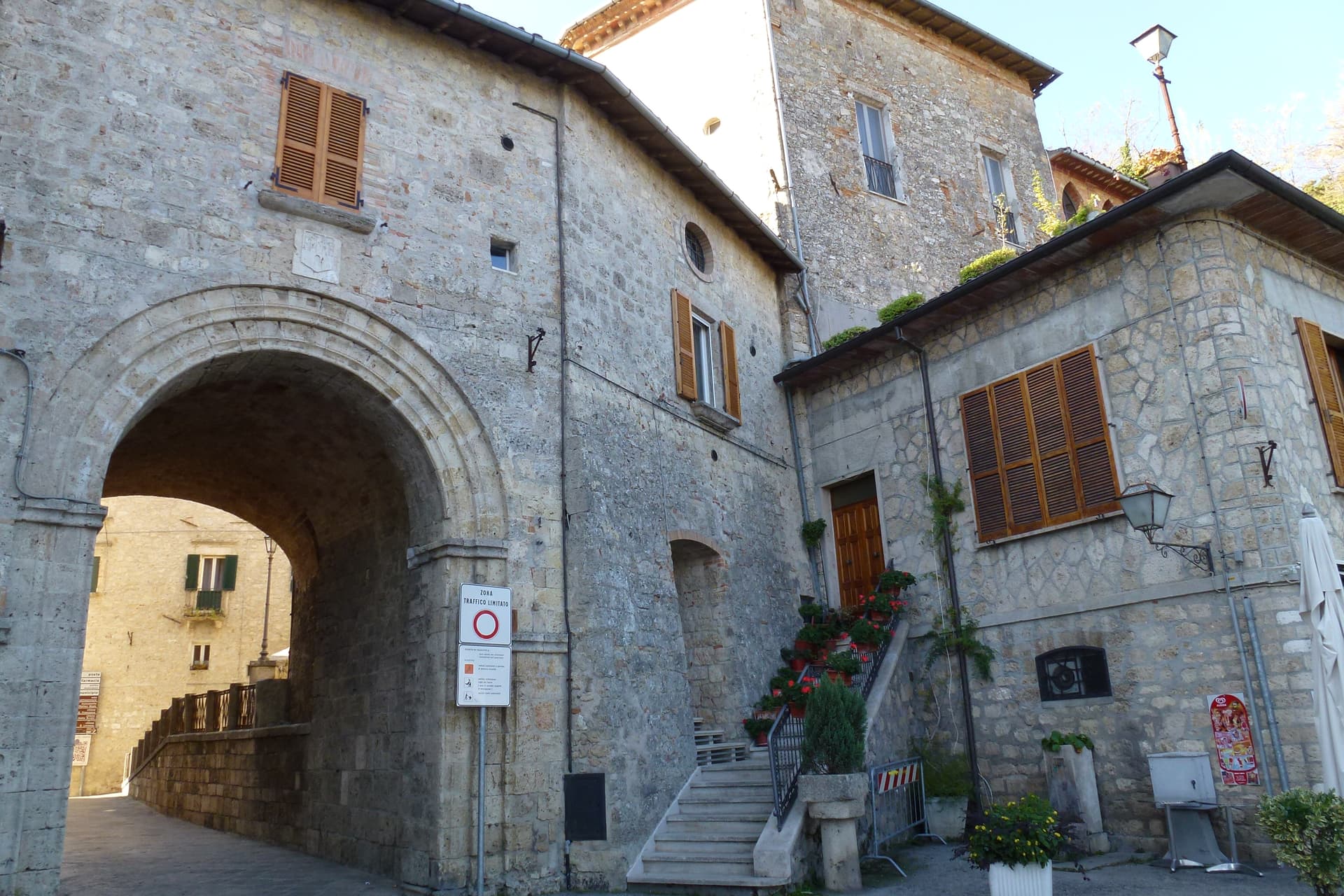
Civitella del Tronto
Province: Teramo · 589 m
A rocky crest at 589 meters above the Tronto valley, crowned by the last Bourbon fortress to surrender to united Italy in March 1861.
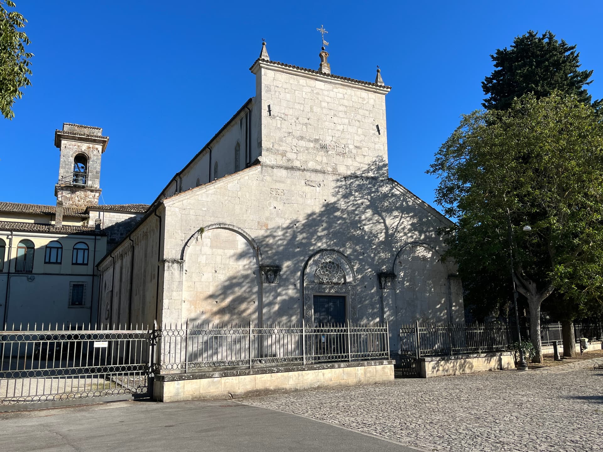
Corfinio
Province: L'Aquila · 346 m
A village of under a thousand on the Peligna valley floor at 346 meters, sitting on the Italic League's would-be capital Italia.
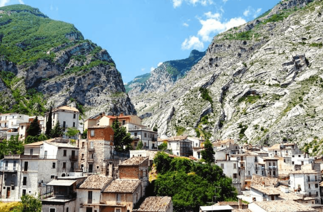
Fara San Martino
Province: Chieti · 440 m
The pasta capital of Italy at 440 meters, where De Cecco was founded in 1886 and the Verde river runs out of a two-meter slot in the Majella wall.
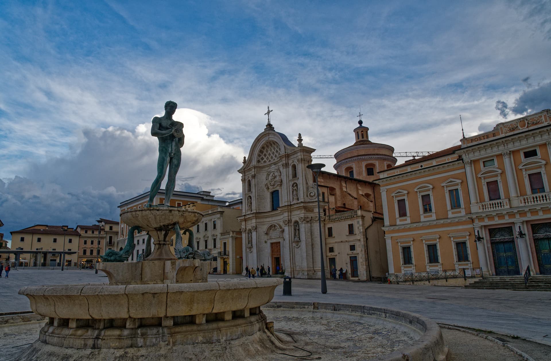
L'Aquila
Province: L'Aquila · 721 m
The regional capital at 721 meters under the Gran Sasso, founded by Frederick II around 1240 and still reconstructing after the 2009 earthquake.
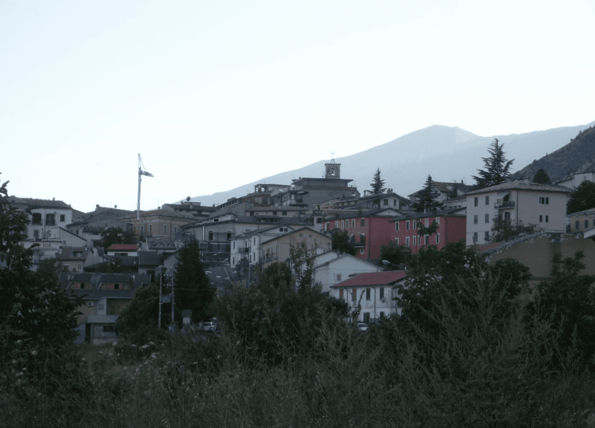
Lama dei Peligni
Province: Chieti · 669 m
A 669-meter Majella village known for chamois, the Cavallone cave, and a prehistoric burial dug from Fonterossi dated 7000 to 5000 BC.
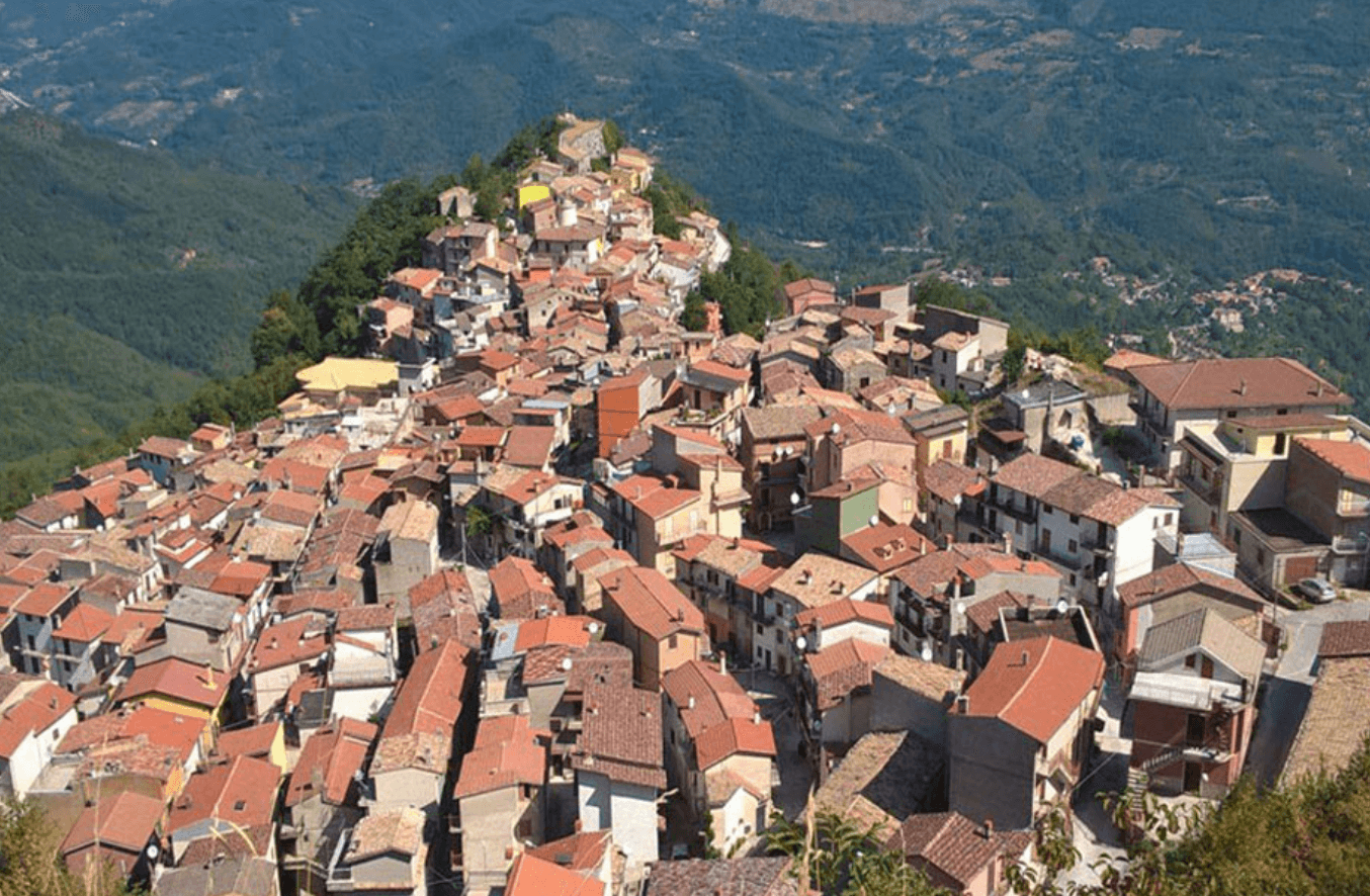
Morino
Province: L'Aquila · 440 m
A village at 440 meters in the Val Roveto on the Lazio border, beneath the central Apennines' second-highest waterfall at over 80 meters.
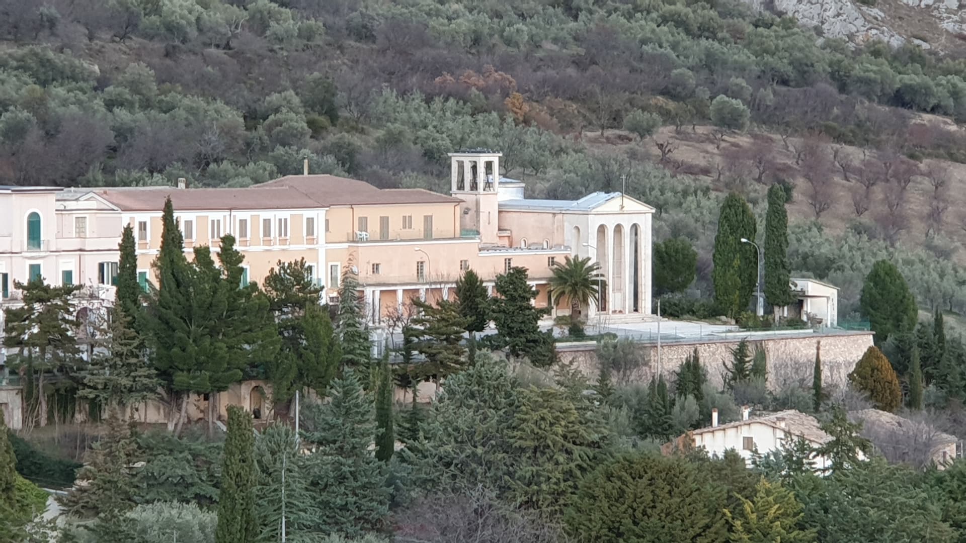
Ofena
Province: L'Aquila · 531 m
A 531-meter Vestian basin called the Forno d'Abruzzo, sealed by the Gran Sasso wall, where Montepulciano ripens on what may be the oldest of its slopes.
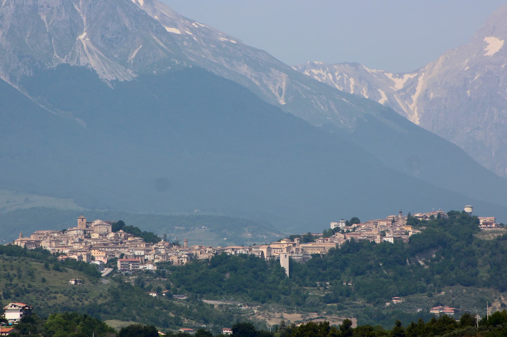
Penne
Province: Pescara · 438 m
The brick city at 438 meters between the Tavo and Fino, ancient capital of the Vestini, rebuilt after Allied bombing and awarded the Silver Medal of Civic Merit.
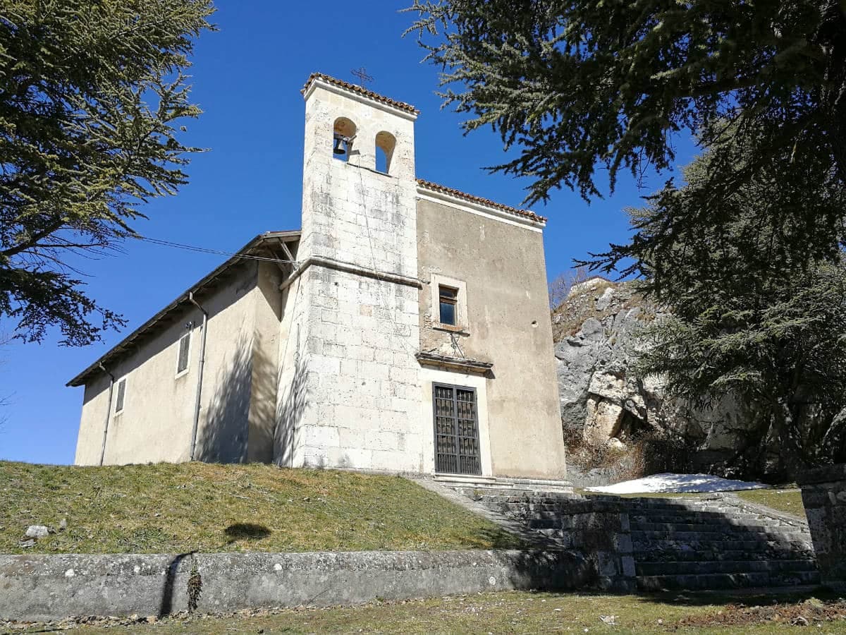
Pescocostanzo
Province: L'Aquila · 1,395 m
A planned Renaissance town at 1,395 meters on the Quarto Grande plateau, with bobbin lace, wrought iron, and the wood ceilings of a five-nave church.
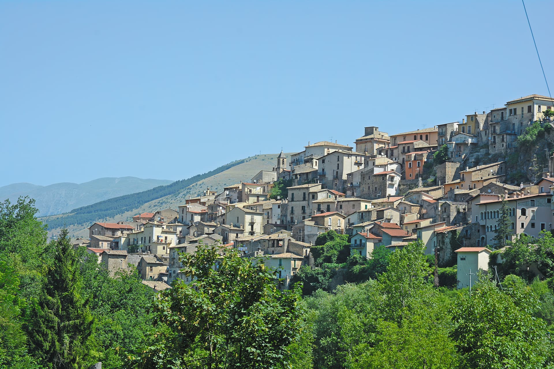
Pettorano sul Gizio
Province: L'Aquila · 656 m
At 656 meters above the Gizio river, a Cantelmo fortress town that guarded the gateway to the Peligna valley for four hundred years.
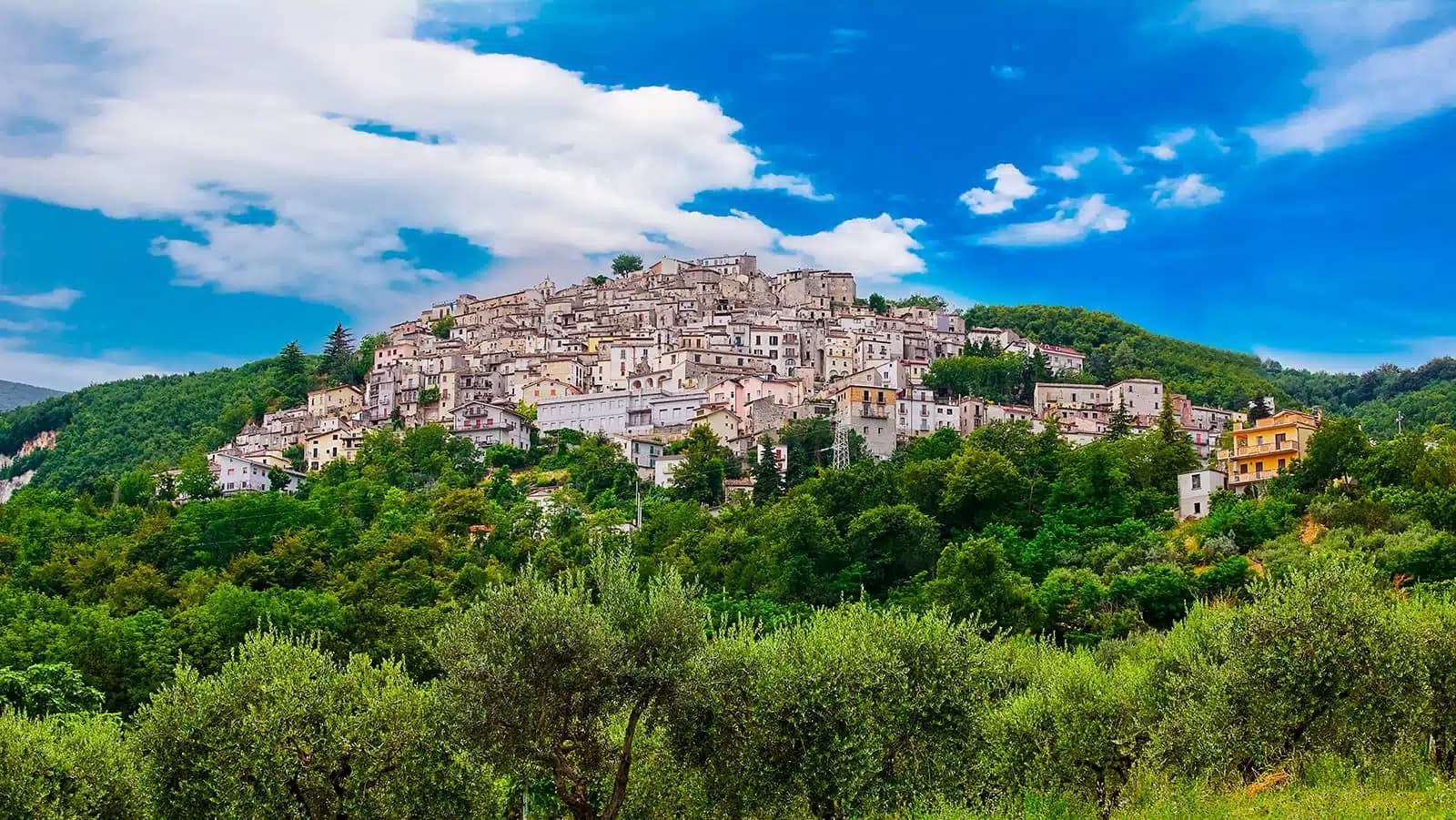
Pretoro
Province: Chieti · 530 m
A village of 856 stacked at 530 meters on the eastern Maiella, with wolves in a fenced enclosure and woodturners still working on Via Roma.
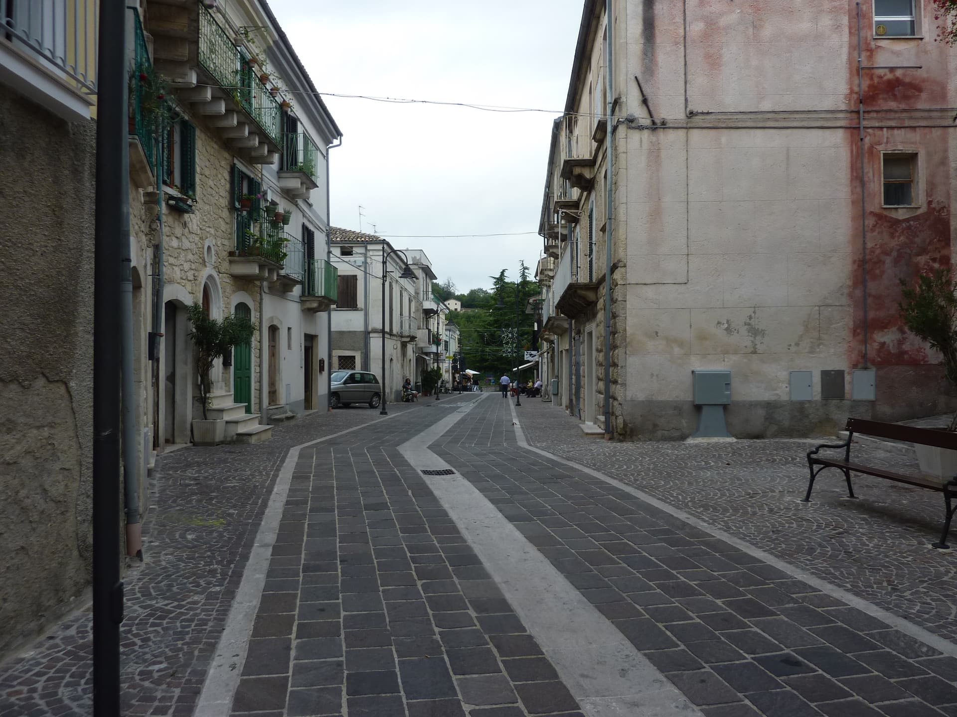
Roccamorice
Province: Pescara · 520 m
A village at 520 meters in the Majella foothills, gateway to the rock-cut hermitages where Pietro da Morrone lived before becoming Pope Celestine V.
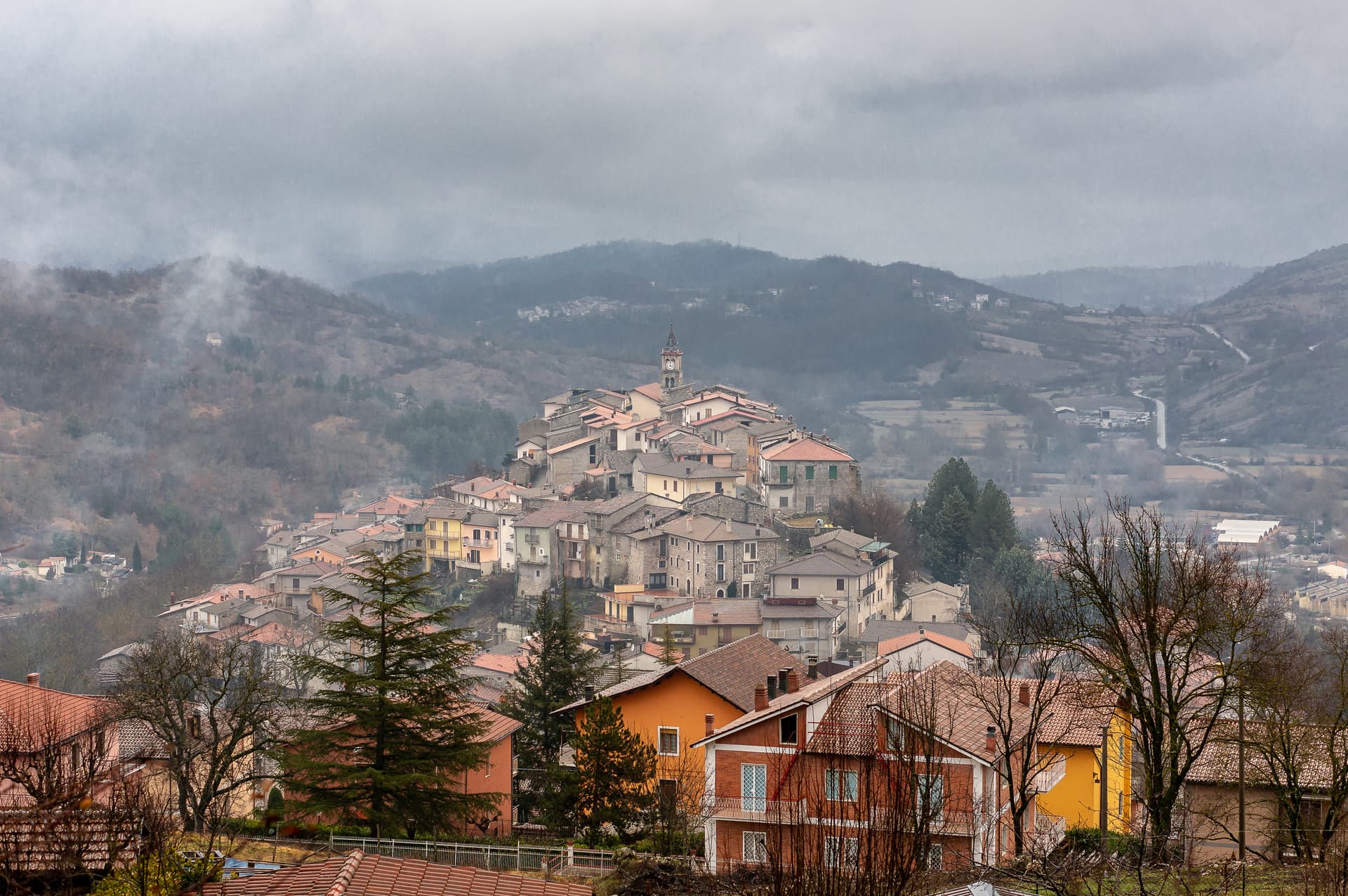
Sante Marie
Province: L'Aquila · 950 m
A 950-meter Marsica village and the trailhead of the Cammino dei Briganti, the seven-day brigand trail through the Cartore band's territory.
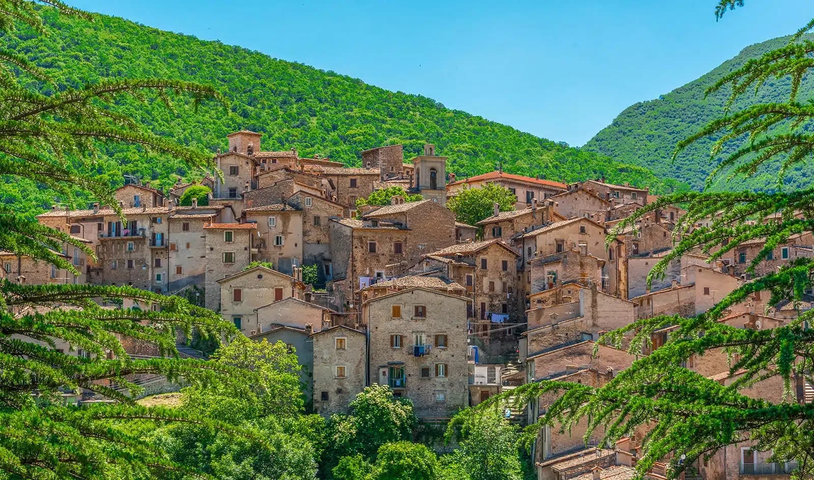
Scanno
Province: L'Aquila · 1,057 m
A 1,057-meter Sagittario valley village photographed by Cartier-Bresson and Giacomelli, where women in black still walk the same alleys as the 1957 series.
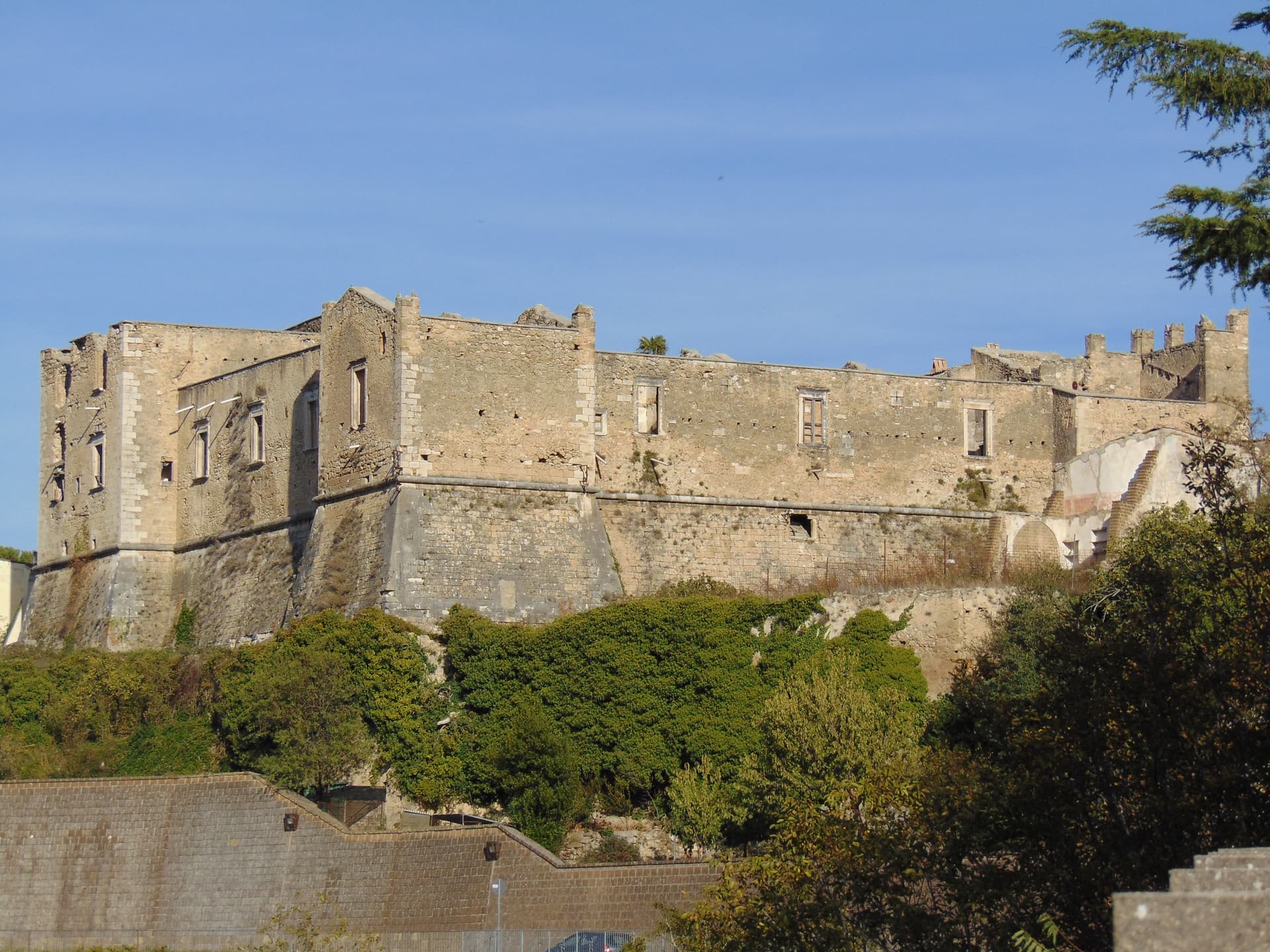
Tocco da Casauria
Province: Pescara · 356 m
A 356-meter hill town between the Pescara river and the Maiella, built around a Carolingian abbey and an herb liqueur called Centerba.
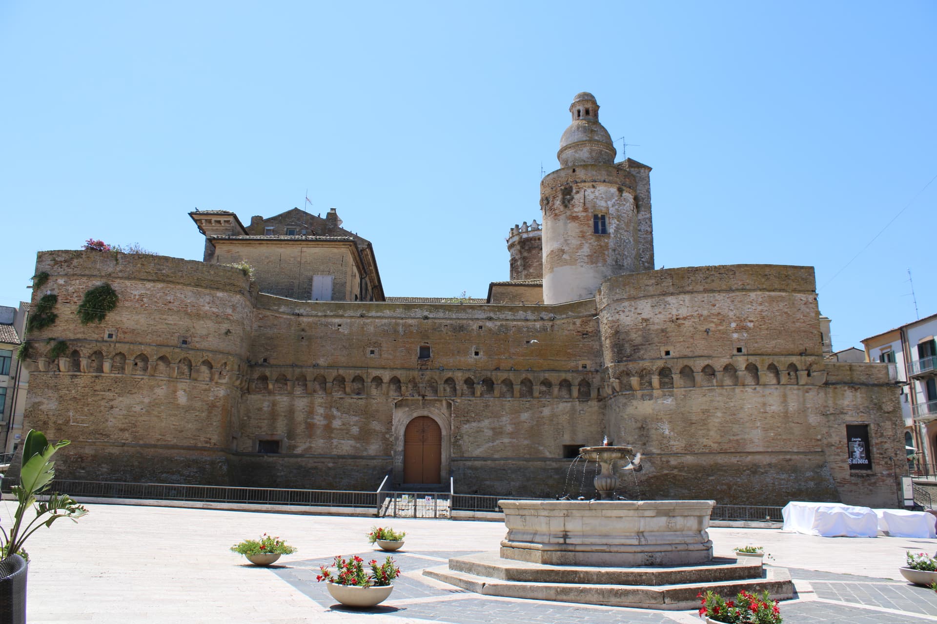
Vasto
Province: Chieti · 144 m
At 144 meters on a hill above the Adriatic, southern anchor of the Costa dei Trabocchi, home of the brodetto vastese invented in 1800.
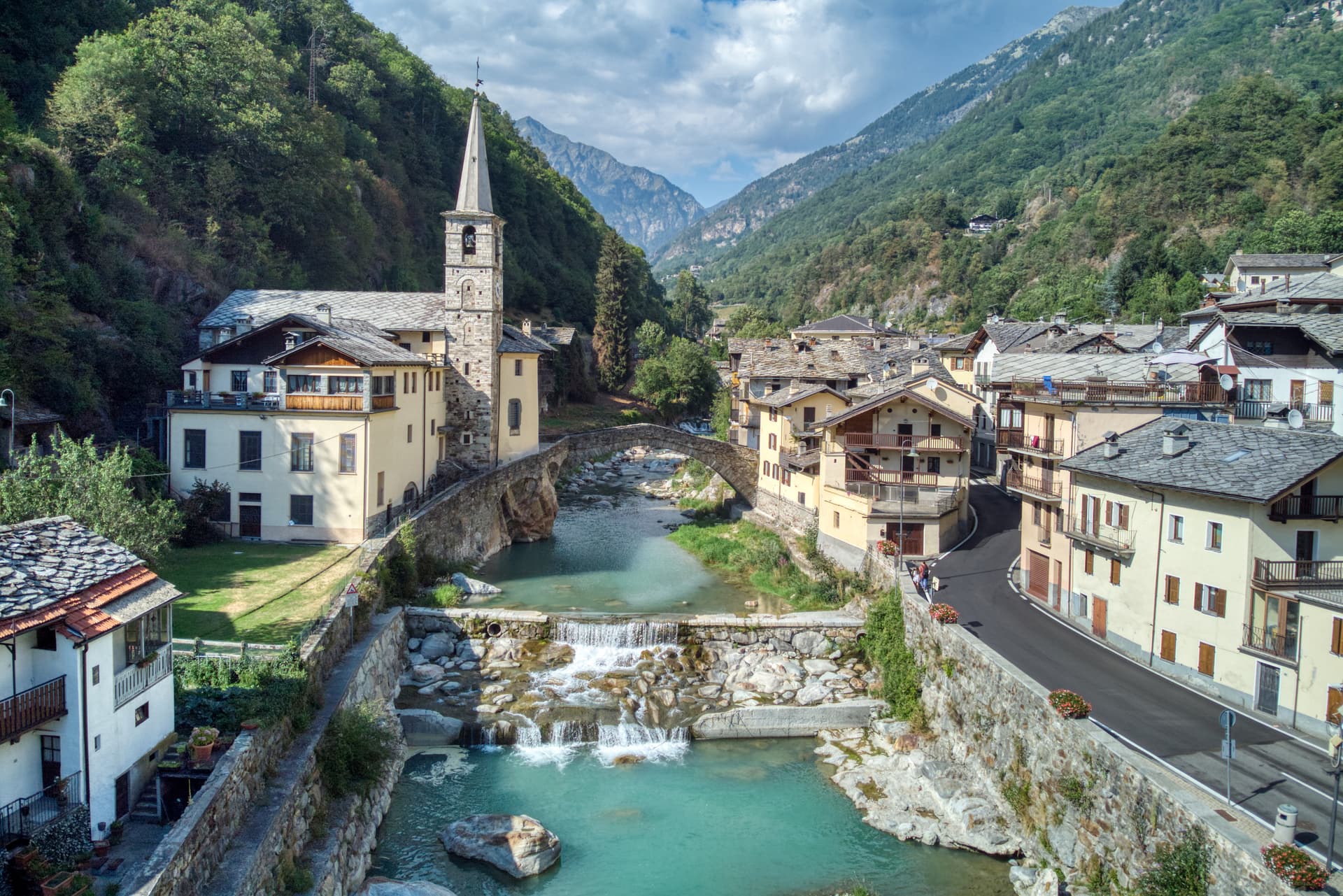
Apulia9
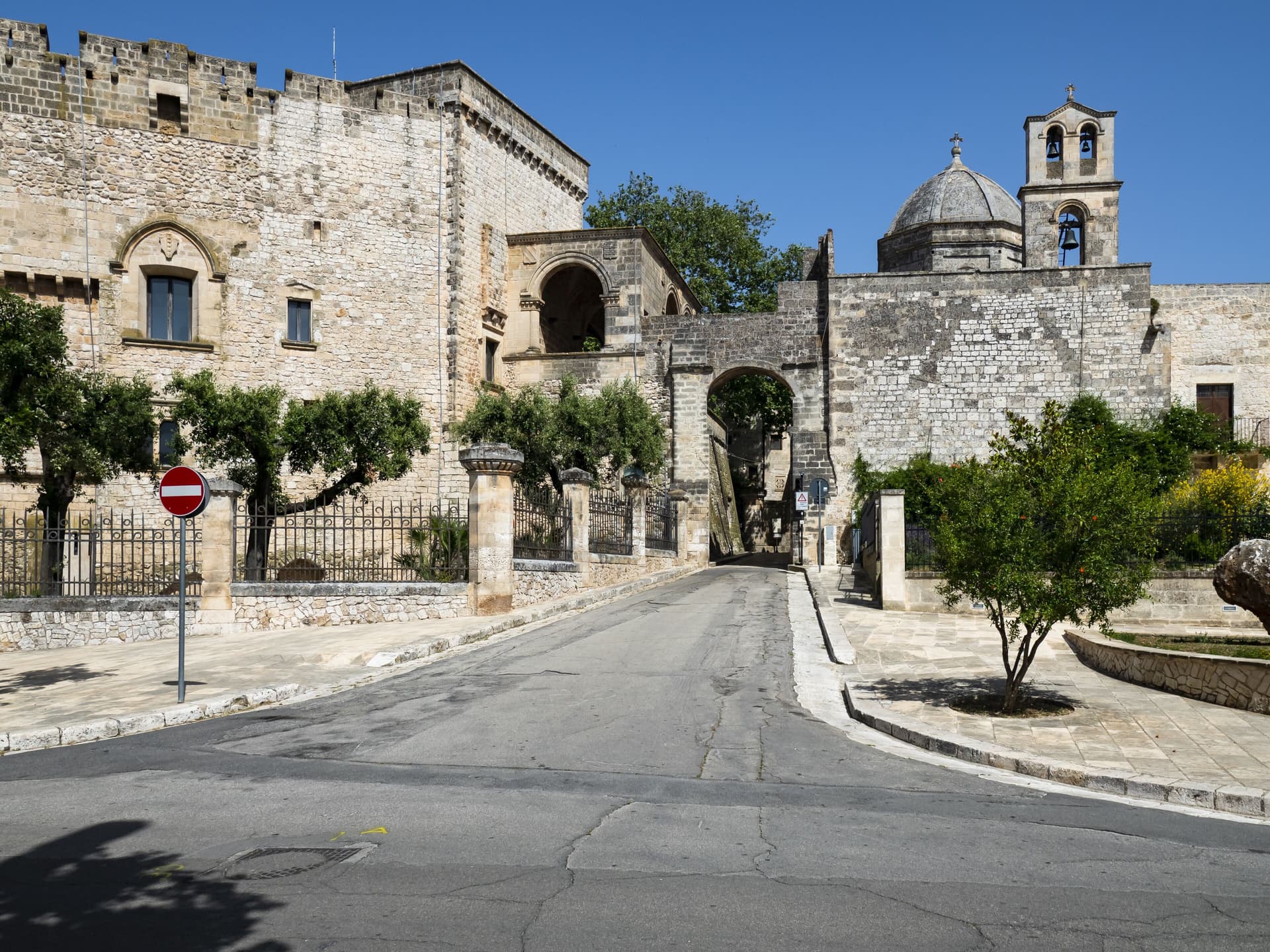
Carovigno
Province: Brindisi · 161 m
An upper Salento town between Brindisi and Ostuni, built on the Messapian Carbina destroyed in 473 BC, with the Torre Guaceto marine reserve offshore.
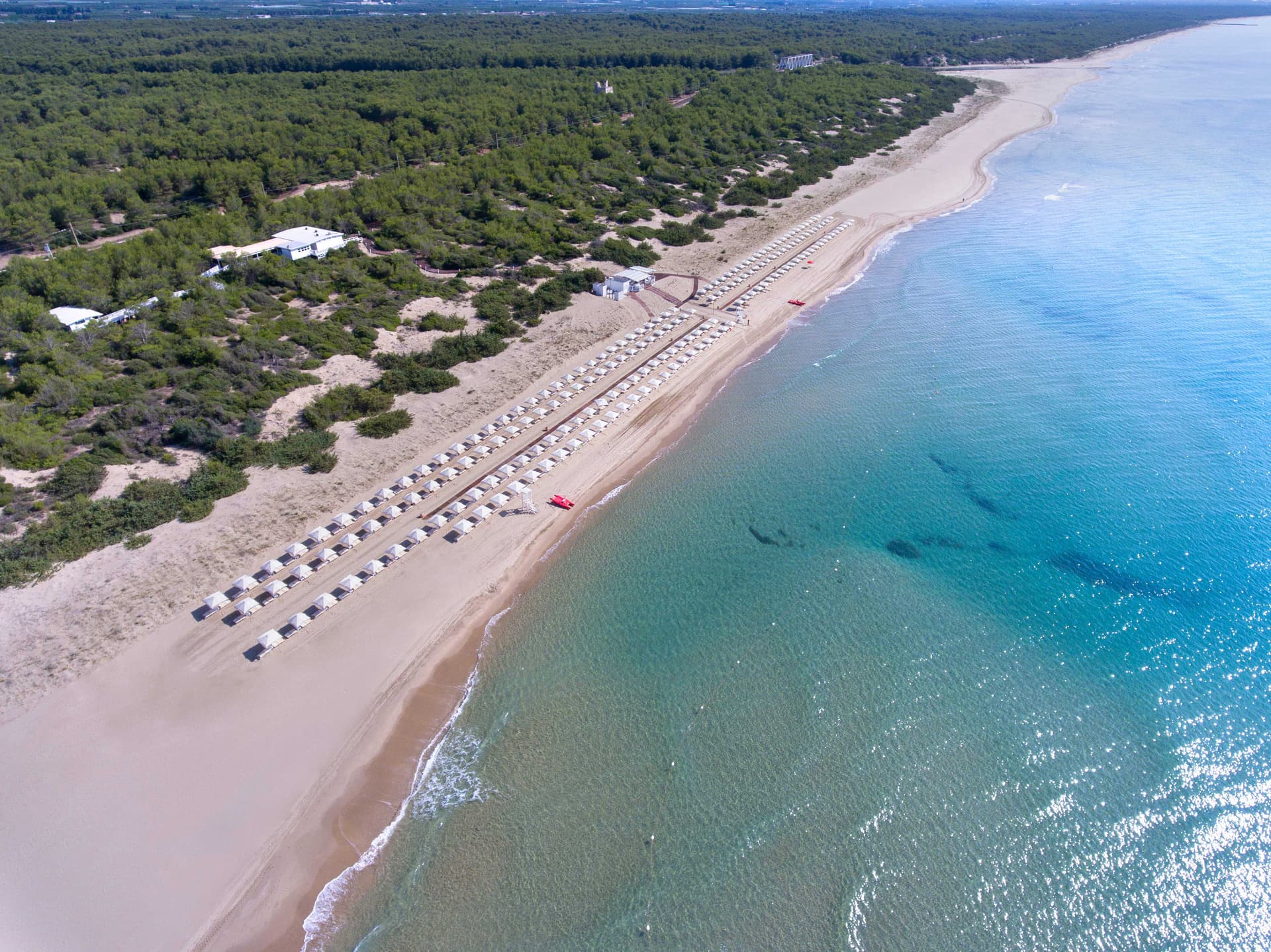
Castellaneta
Province: Taranto · 235 m
A cliff-edge Murge town at 235 meters above the Gravina Grande canyon, birthplace of Rudolph Valentino in 1895, with a Bandiera Blu Ionian marina.
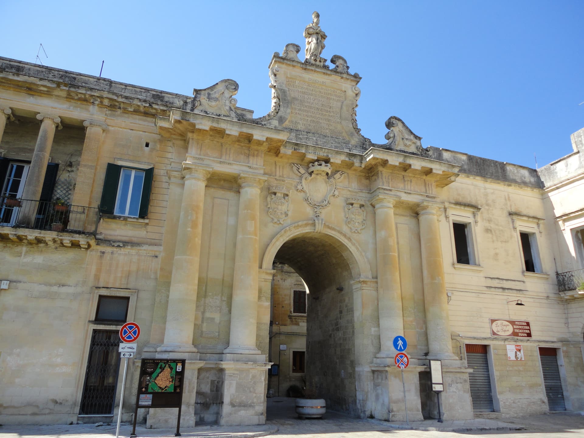
Lecce
Province: Lecce · 49 m
The Baroque capital of the Salento, ninety-four thousand people on the Lecce-stone plain, carving its façades in honey limestone since 1500.
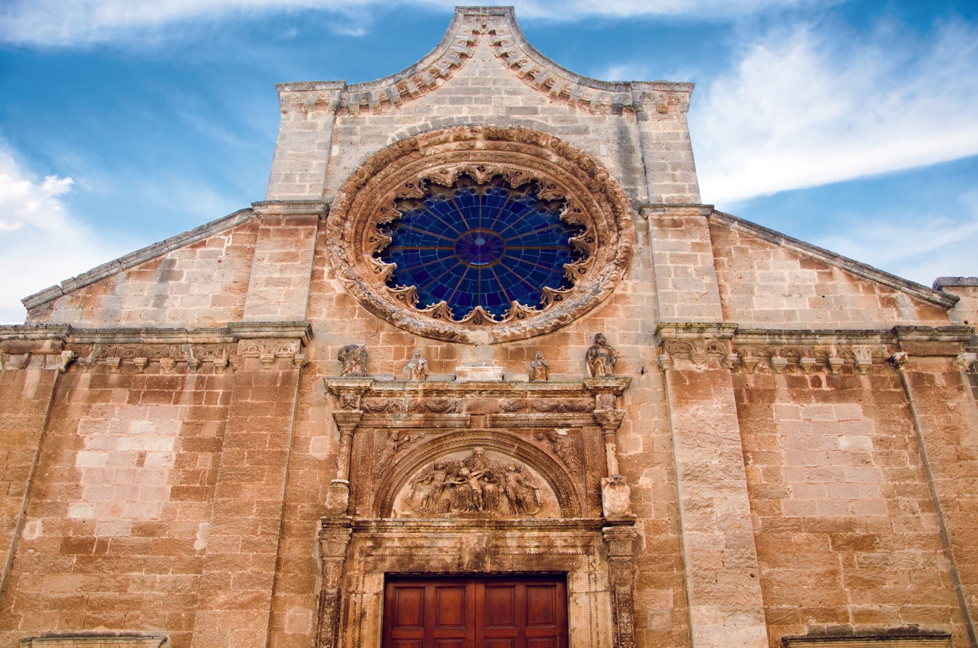
Manduria
Province: Taranto · 79 m
The Messapian capital thirty-five kilometers east of Taranto, ringed by three concentric stone walls and the home of Primitivo.
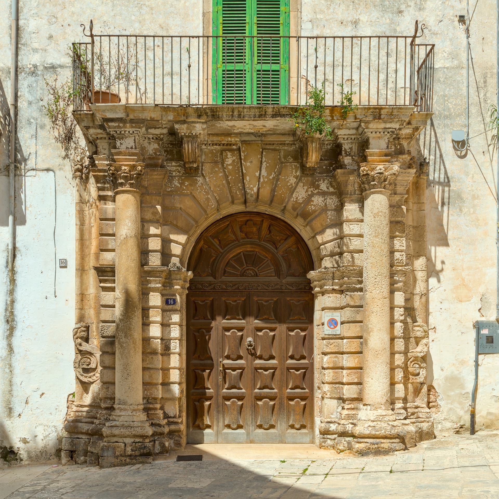
Martina Franca
Province: Taranto · 431 m
Puglia's second Baroque city after Lecce, on the Itria ridge at 431 meters, with an opera festival in its ducal courtyard since 1975.
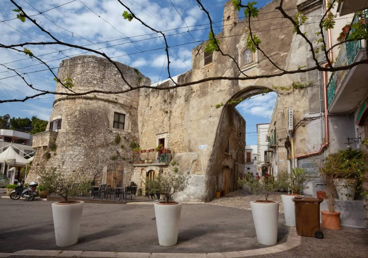
Peschici
Province: Foggia · 91 m
A Gargano cliff-top village above the Adriatic with a Norman castle of 1023, white houses spilling toward the sea and trabucchi on the headlands.
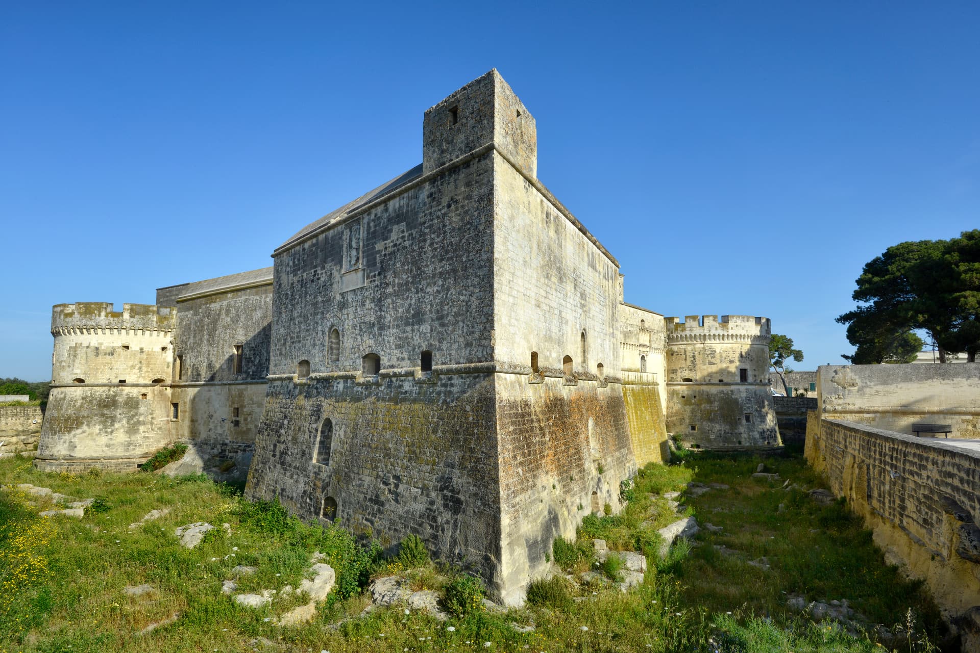
Vernole
Province: Lecce · 38 m
A Salento commune ten kilometers from Lecce whose frazione of Acaya is the only Renaissance fortified town in southern Italy.
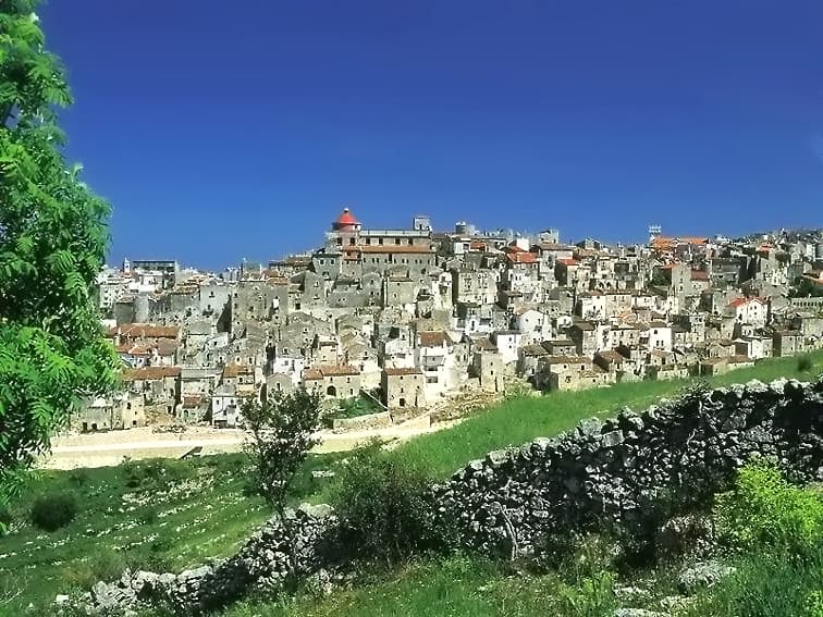
Vico del Gargano
Province: Foggia · 445 m
A Gargano hill town at 445 meters with a Norman castle, a kiss alley, and DOP citrus groves stepping down to the Adriatic.
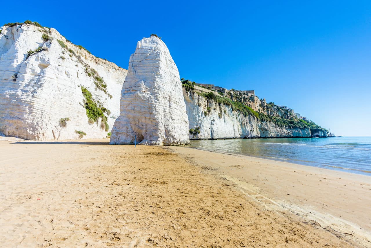
Vieste
Province: Foggia · 43 m
The Gargano headland of whitewashed alleys on a white limestone cliff, with the Pizzomunno sea stack standing 26 meters offshore.
Basilicata8
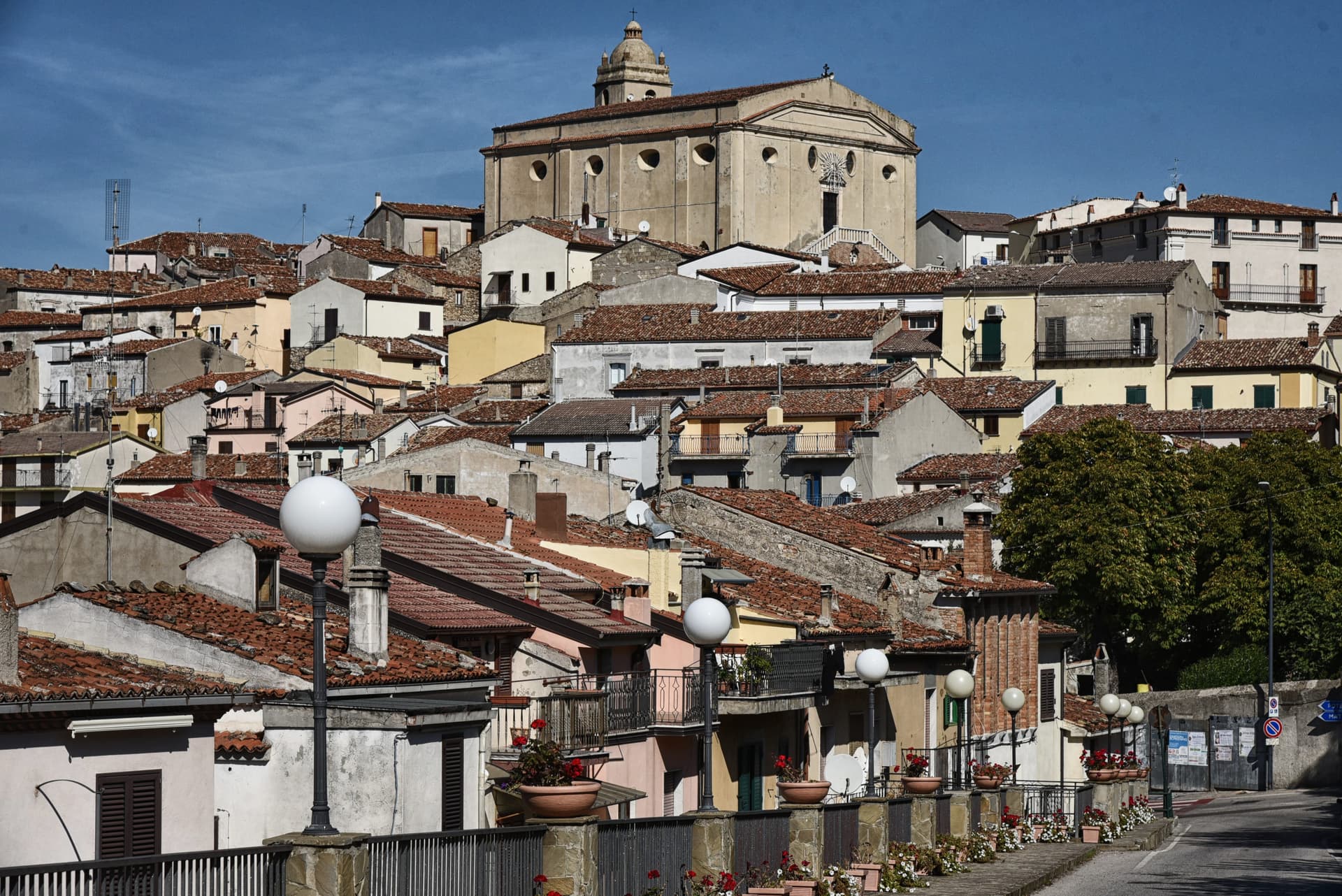
Accettura
Province: Matera · 770 m
A 770-meter village in the Gallipoli Cognato park where, each Pentecost, a Turkey oak is married to a holly tree.
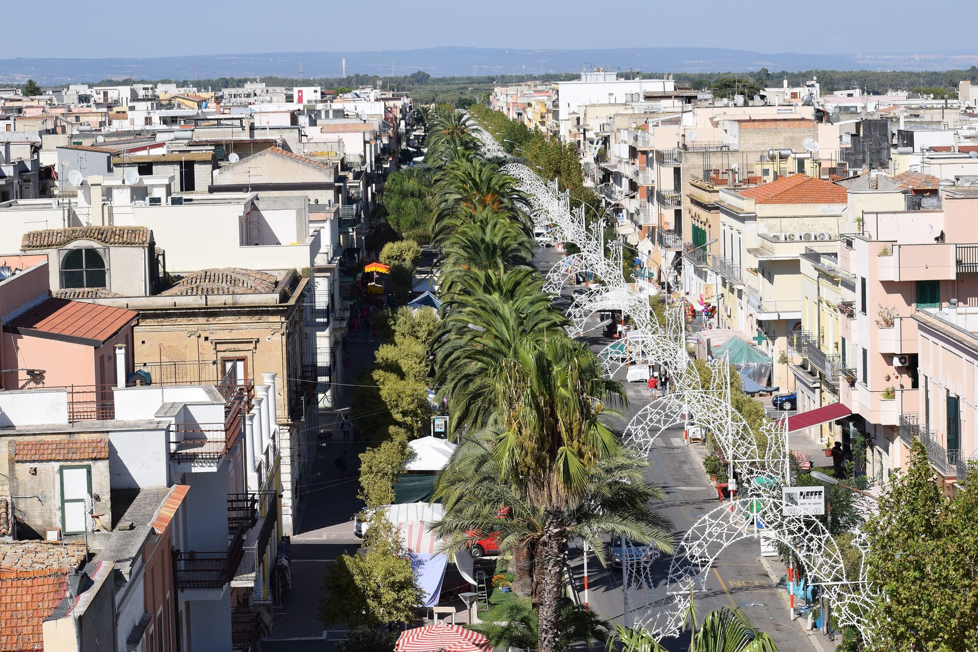
Bernalda
Province: Matera · 127 m
A 127-meter hill town between the Bradano and Basento, Francis Ford Coppola's ancestral home, holding the Magna Graecia columns of the Tavole Palatine.
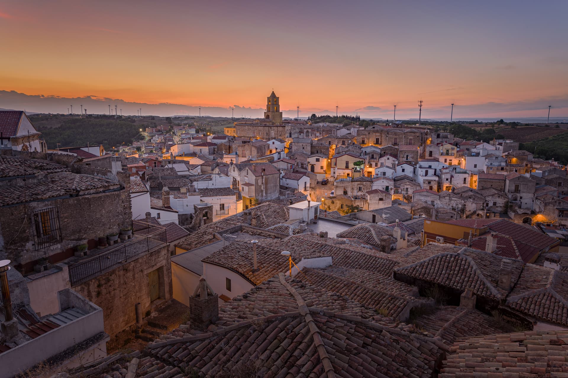
Grottole
Province: Matera · 481 m
A hilltop borgo at 481 meters between the Bradano and Basento, where six hundred empty houses outnumber residents in the centro storico.
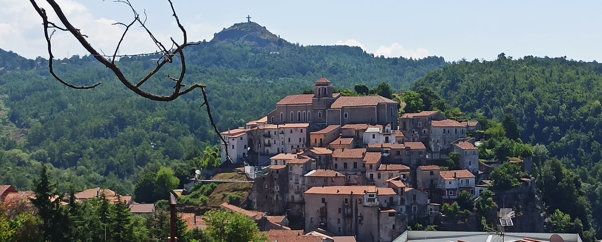
Lagonegro
Province: Potenza · 666 m
A 666-meter Valle del Noce town founded by Byzantine monks, where local legend places the burial of Lisa del Giocondo, Leonardo's Mona Lisa.
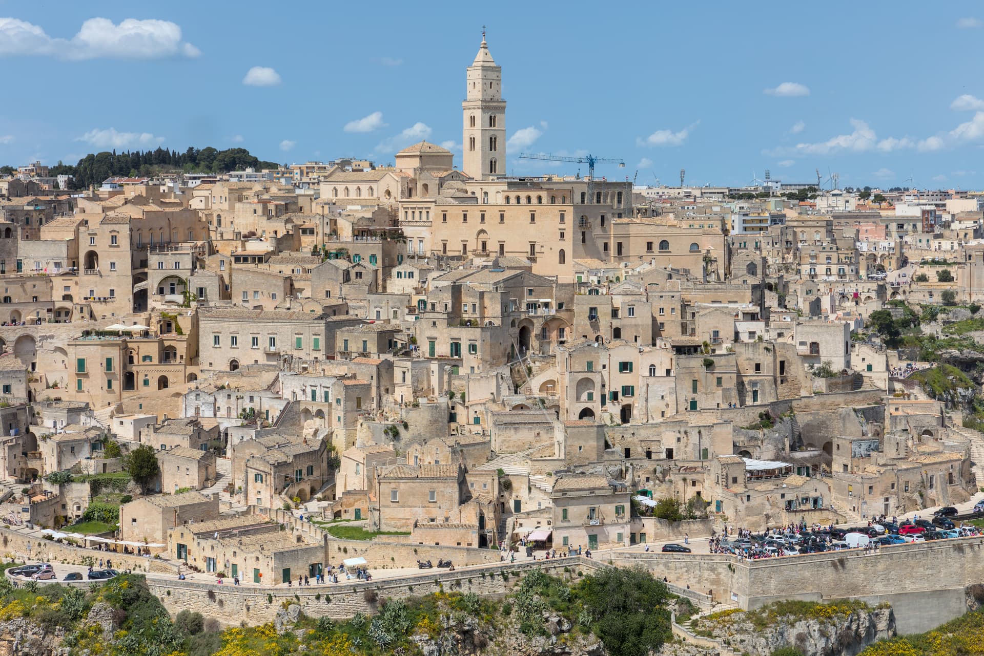
Matera
Province: Matera · 401 m
Cave dwellings carved into limestone since the Paleolithic, called the shame of Italy in the 1950s and made European Capital of Culture in 2019.
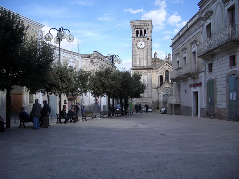
Miglionico
Province: Matera · 461 m
A hilltop borgo at 461 meters above the Bradano, the seven-tower castle that gave the 1485 Conspiracy of the Barons its hall.
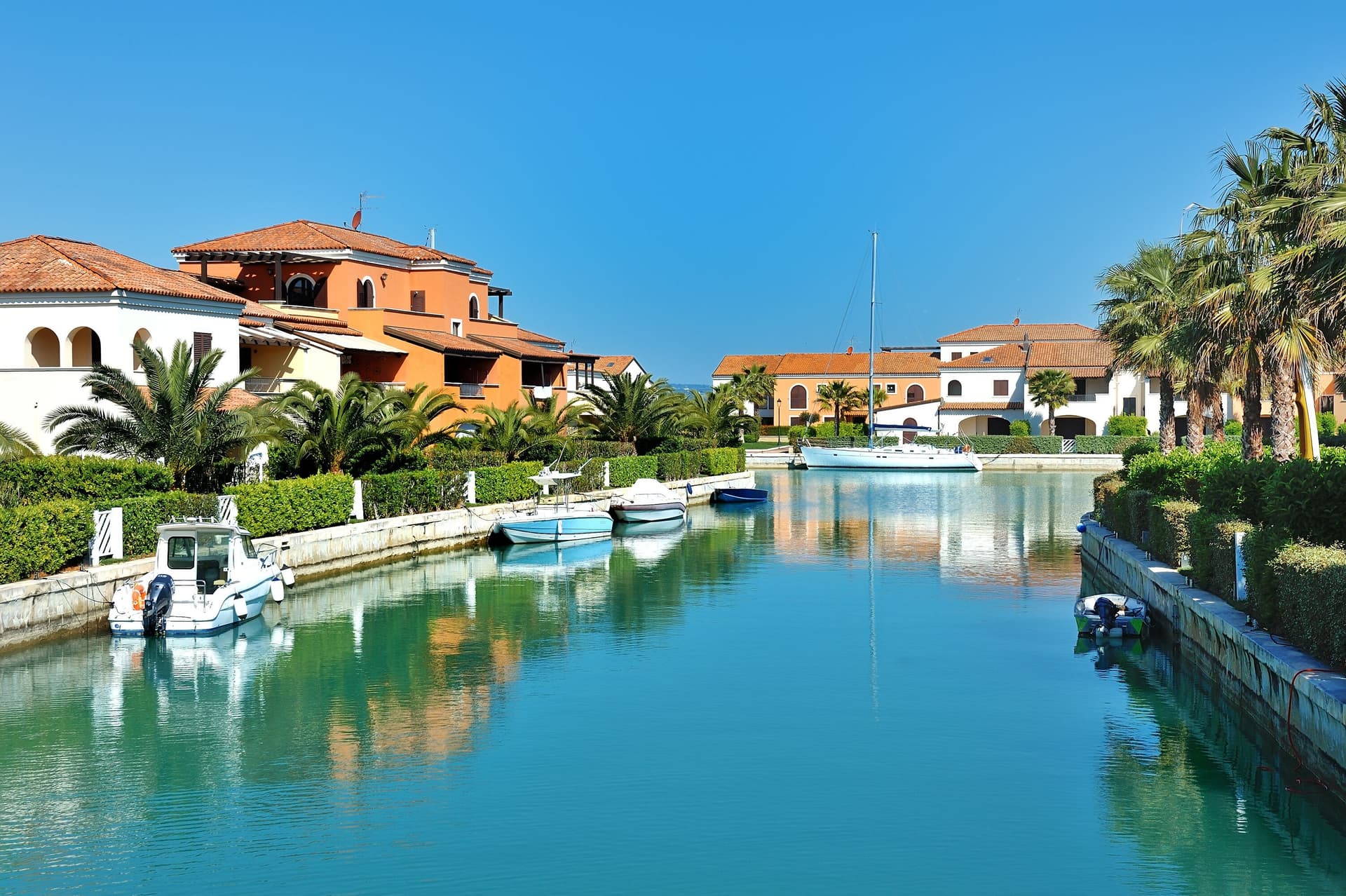
Policoro
Province: Matera · 25 m
A Ionian-coast town on the Gulf of Taranto built on the ruins of the Greek polis of Heraclea — birthplace of the Tavole di Eraclea bronze inscriptions and home to one of the region's most-visited Bandiera Blu beaches and the National Museum of the Siritide.
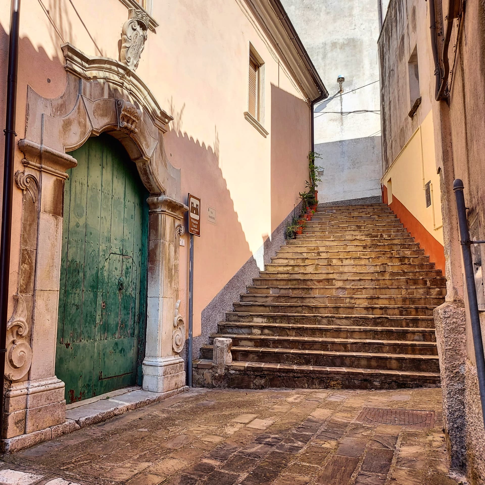
Rotondella
Province: Matera · 576 m
The 'Balcony of the Ionian' — a 2,400-resident Lucanian borgo on a 576m hilltop overlooking the Metapontino plain and the Ionian Sea, with intact medieval streets, the Chiesa di Santa Maria della Neve, and a high-quality DOP olive oil from the surrounding terraced groves.
Calabria3
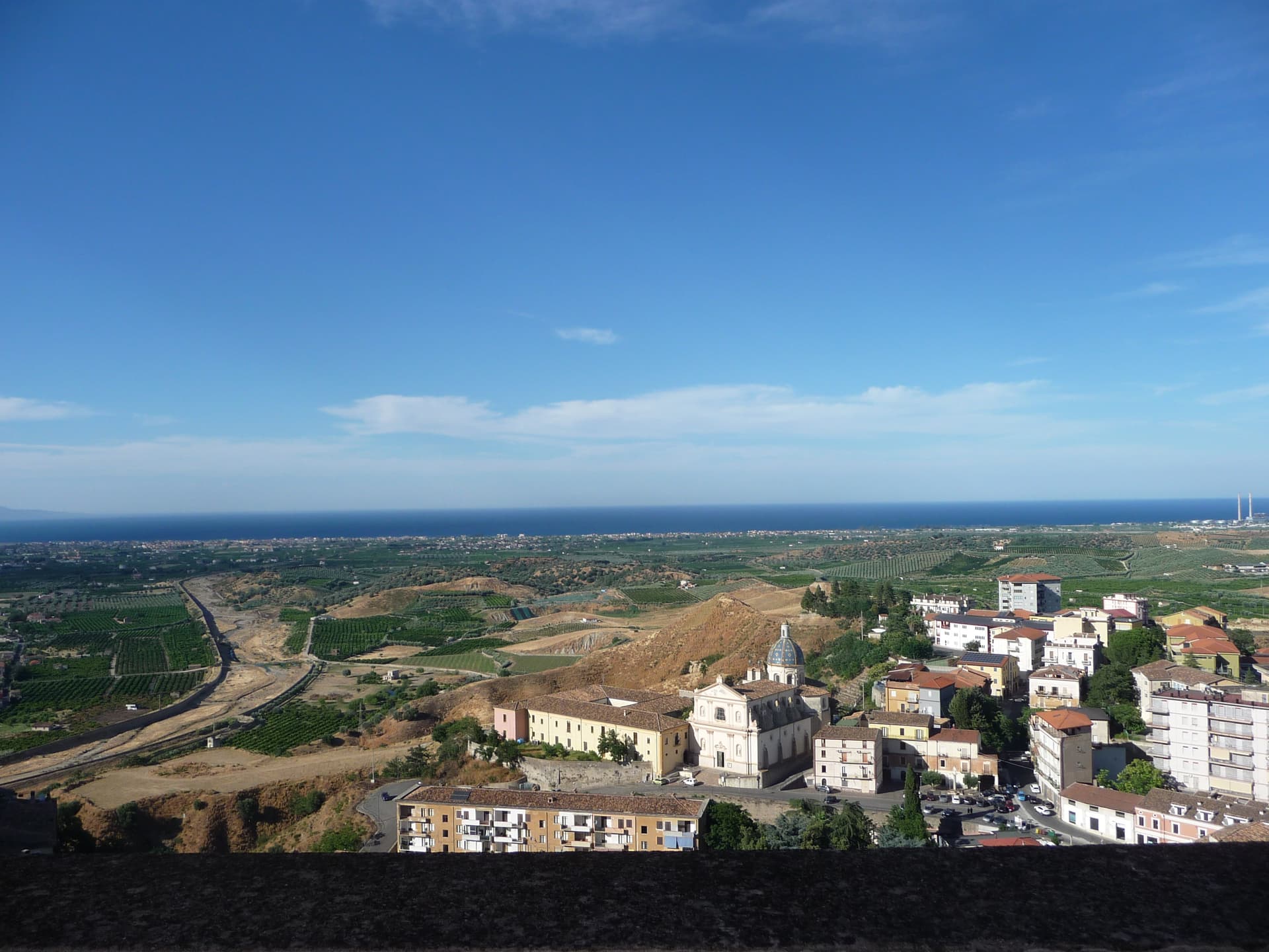
Corigliano-Rossano
Province: Cosenza · 219 m
The Sibari plain city merged in 2018, home of the UNESCO-listed sixth-century Codex Purpureus and the 1731 Amarelli liquorice dynasty.
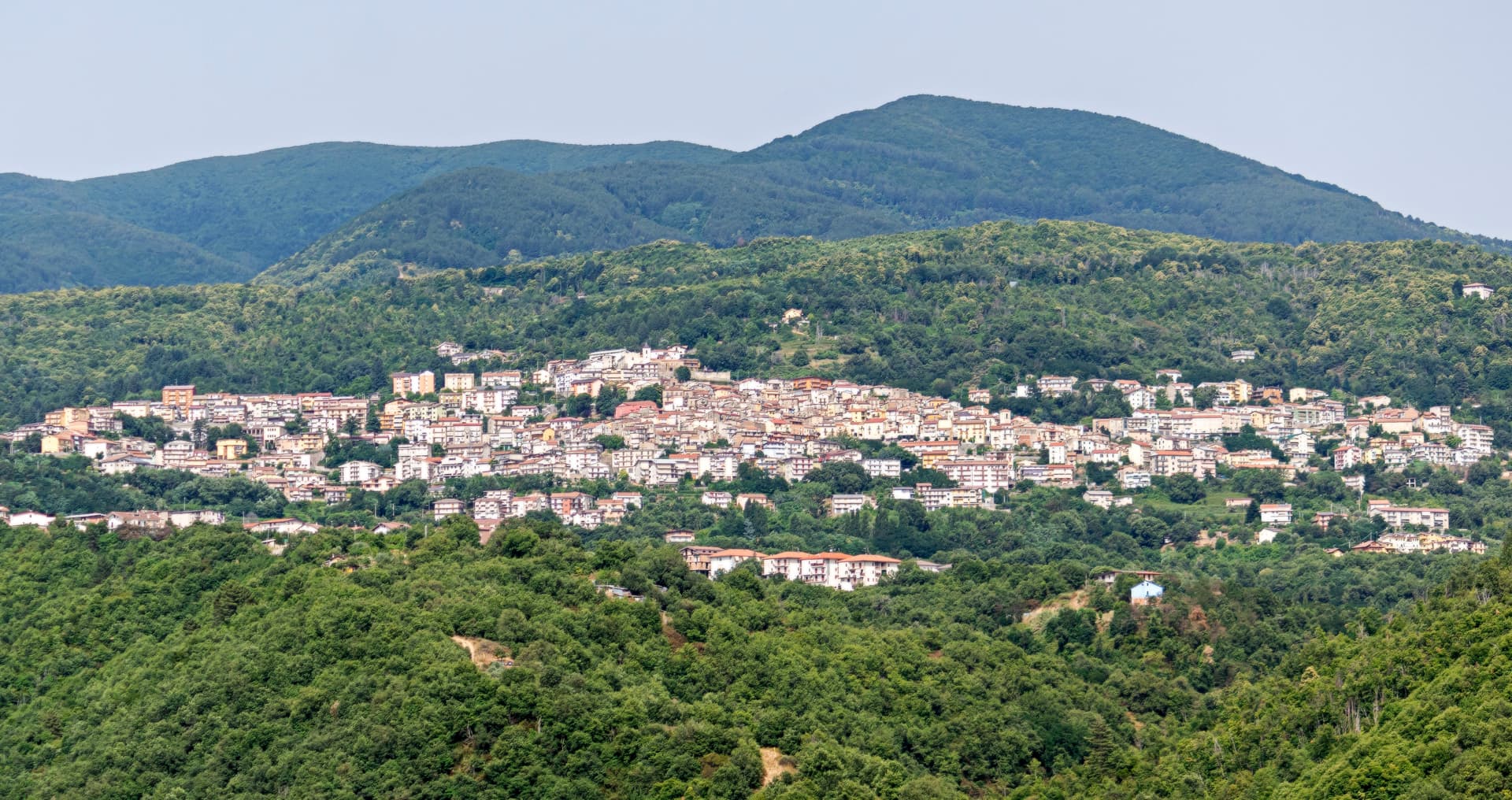
Spezzano della Sila
Province: Cosenza · 800 m
A Sila plateau borgo at 800 meters, the gateway to the national park and the Giants of the Sila above Lake Cecita.
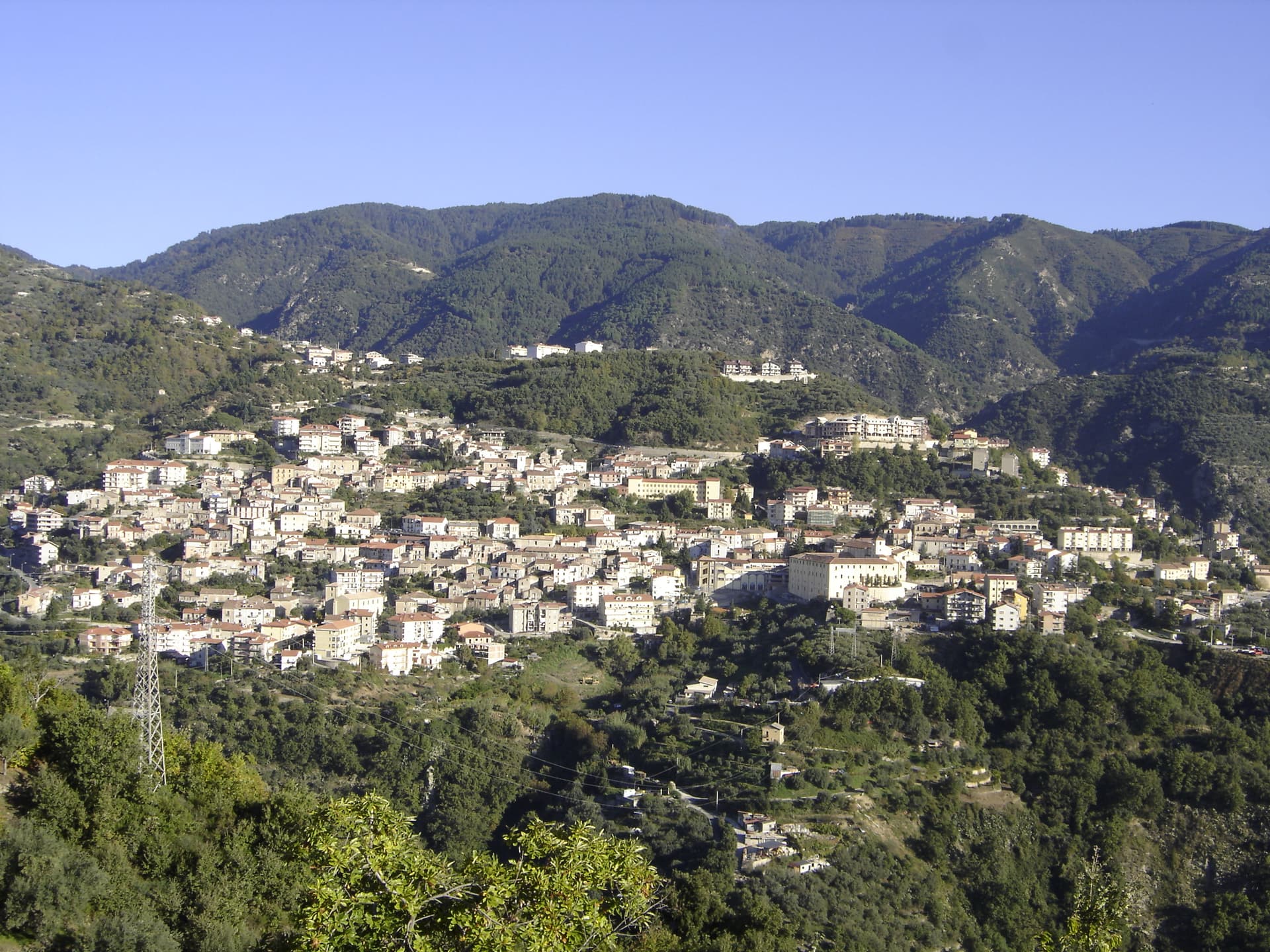
Taverna
Province: Catanzaro · 530 m
The birthplace of Mattia Preti at the foot of the Sila Piccola, where the church of San Domenico holds eleven of the Cavaliere Calabrese's paintings.
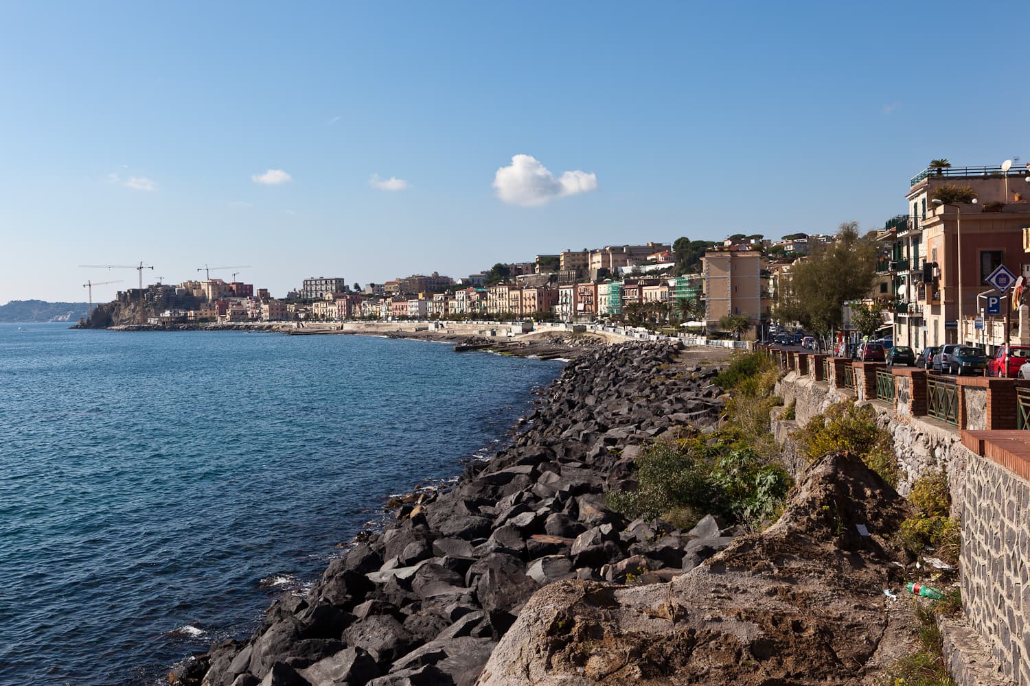
Emilia-Romagna9
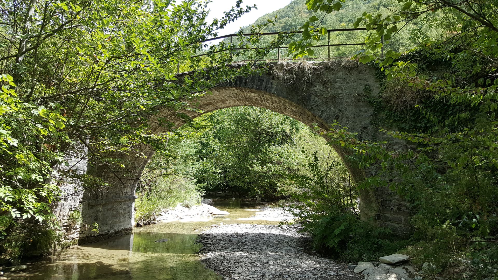
Bagno di Romagna
Province: Forlì-Cesena · 491 m
A 491-meter thermal town at the head of the Savio valley, drawing on springs that have run at 47 degrees since Roman times.
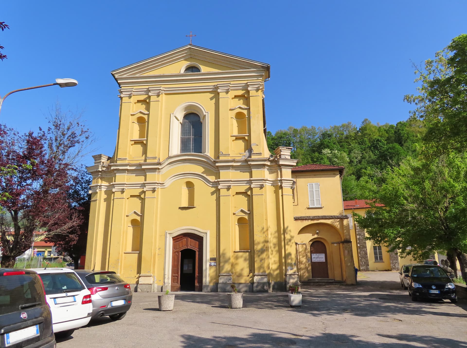
Borgo Val di Taro
Province: Parma · 411 m
The Cittaslow capital of the upper Taro valley at 411 meters, where the Fungo di Borgotaro IGP porcini has been protected since 1996.
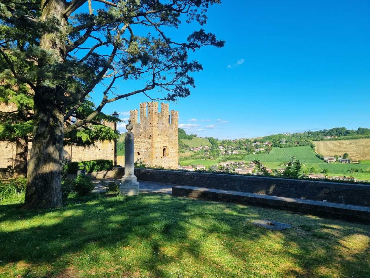
Castell'Arquato
Province: Piacenza · 224 m
A 224-meter hilltop borgo in the Val d'Arda, kept intact since the tenth century and crowned by Luchino Visconti's 1342 fortress.
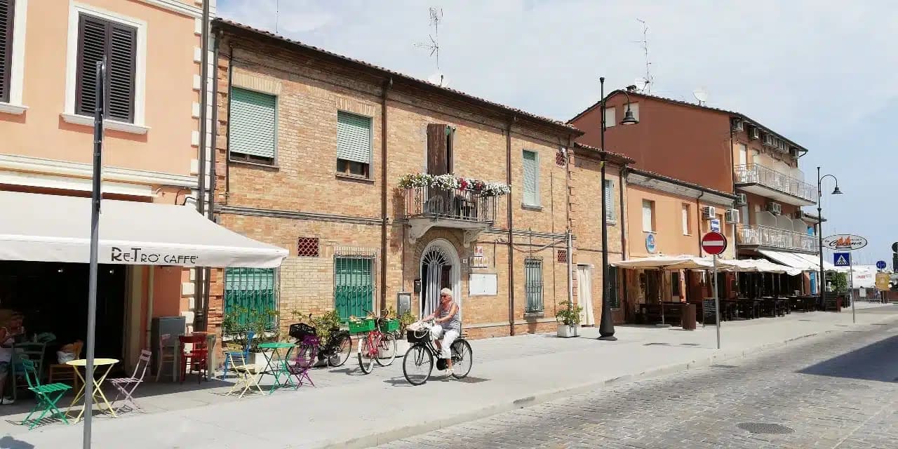
Cervia
Province: Ravenna · 2 m
The Adriatic salt town with 827 hectares of working saline, planned in 1697 around a grid of salt workers' houses.
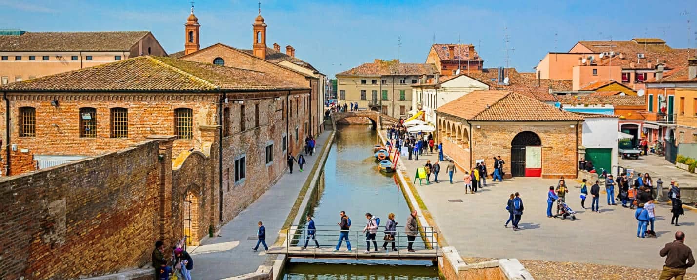
Comacchio
Province: Ferrara
A canal town on thirteen islets at the edge of the Po Delta, with brackish lagoons that hold three hundred bird species.
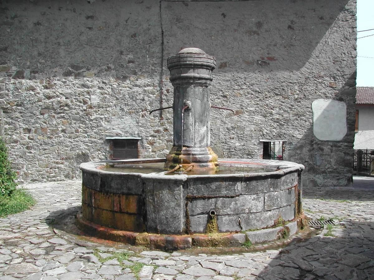
Corniglio
Province: Parma · 690 m
A 690-meter Parma-Apennine commune inside the Tosco-Emiliano park, with a thirteenth-century Rossi castle and the Lagdei plateau above.
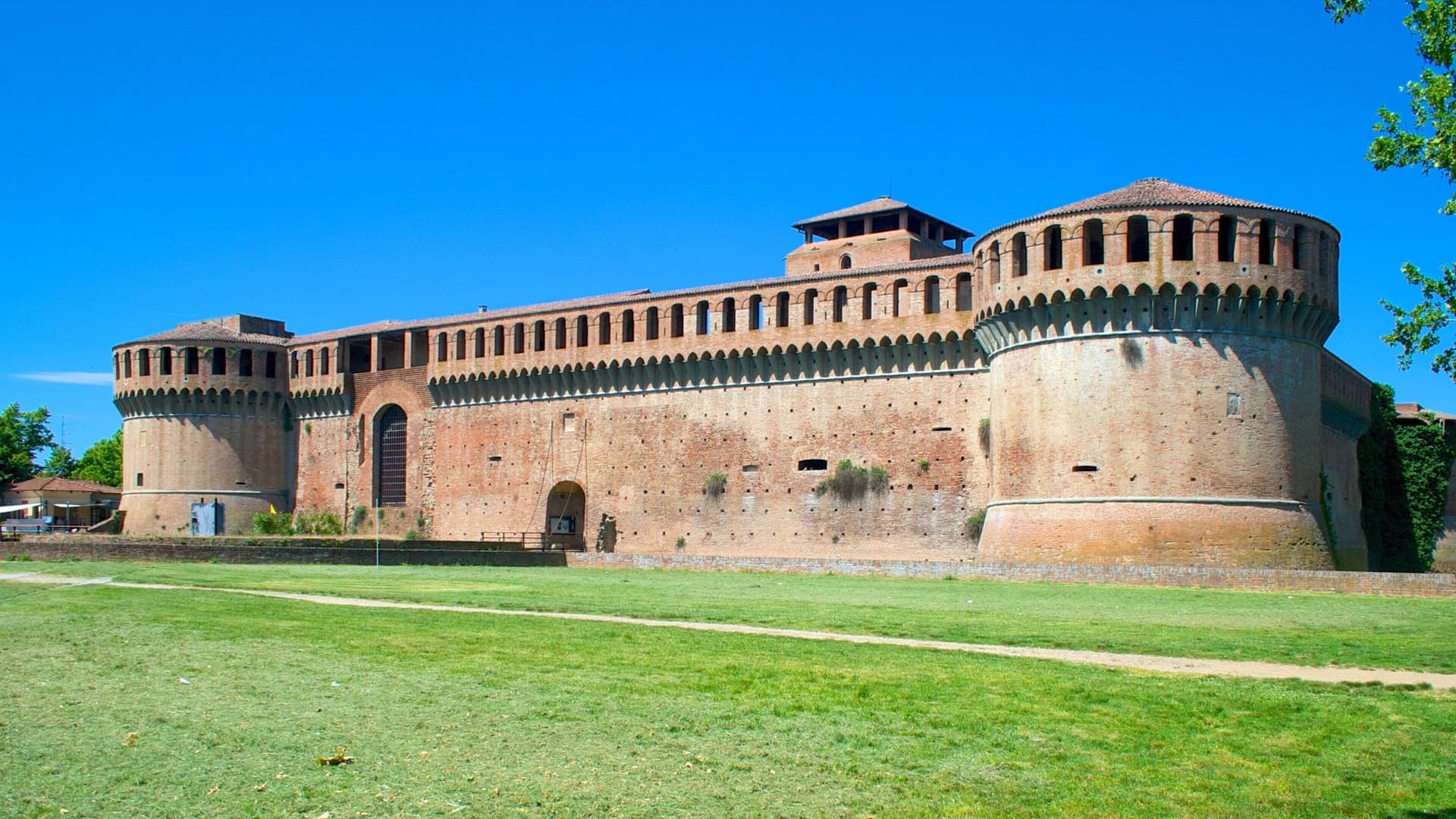
Imola
Province: Bologna · 47 m
Bologna's Romagna twin — a medieval brick centro anchored by the Caterina Sforza-fortified Rocca, with the Autodromo Enzo e Dino Ferrari (the Imola F1 circuit) wrapping the Santerno river at the southern edge of town.
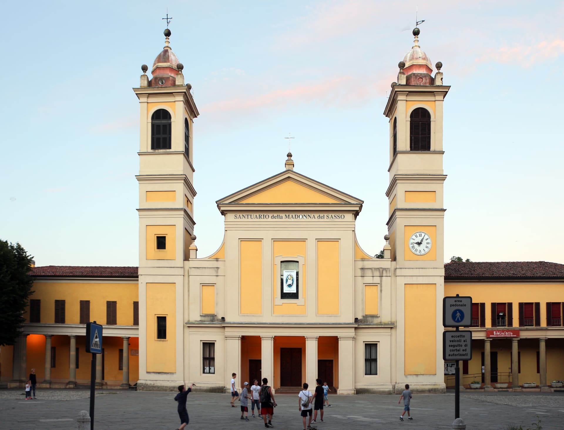
Sasso Marconi
Province: Bologna · 128 m
A 128-meter pre-Apennine town renamed in 1938 for Marconi, with Villa Griffone holding his tomb and the attic where he first sent radio in 1895.
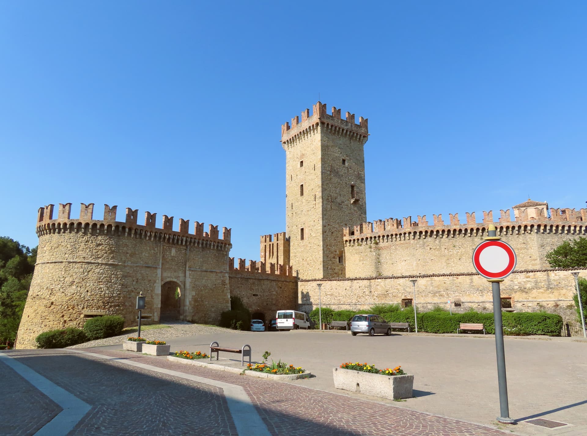
Vernasca
Province: Piacenza · 457 m
A Val d'Arda commune in the Piacenza Apennines, holding the walled village of Vigoleno and one of the most compact castled borghi in Emilia.
Friuli-Venezia Giulia2
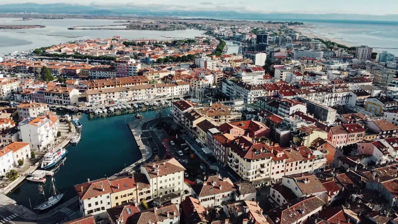
Grado
Province: Gorizia · 2 m
An Adriatic island town inside a 90-square-kilometer lagoon, refuge of the Aquileian patriarchs after 568 and a Habsburg bathing resort thirteen centuries later.
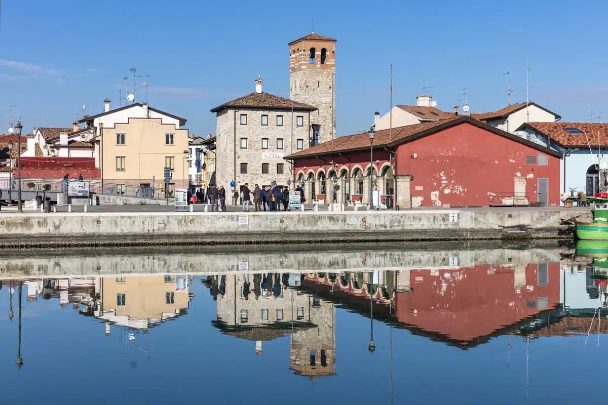
Marano Lagunare
Province: Udine · 2 m
A fishing town on its own pastel-coloured harbour at the heart of the Laguna di Marano — the only Friulian commune set entirely inside the lagoon, with a working fleet, an Aquileian Venetian past, and a still-strict dialect of its own.
Lazio10
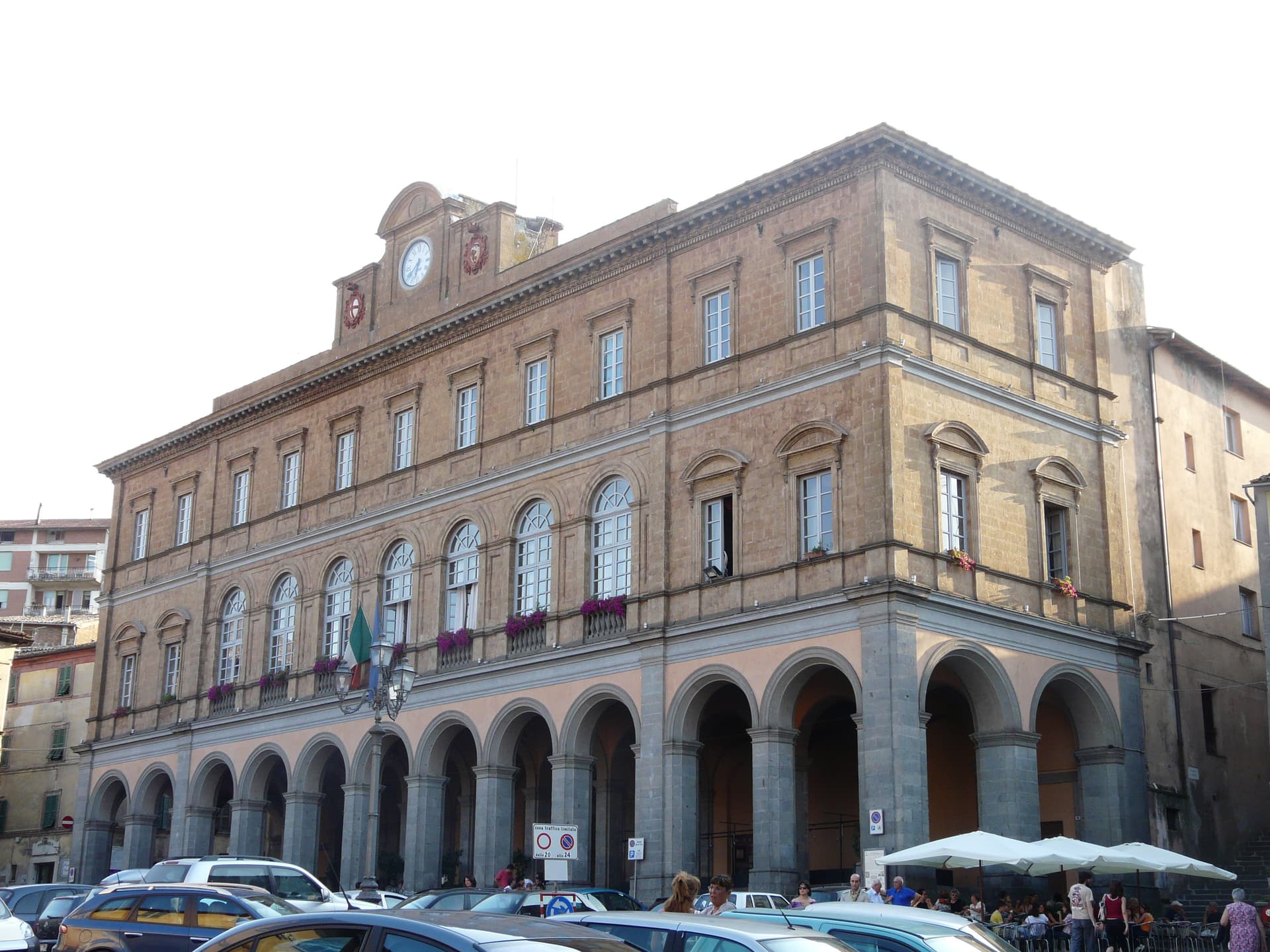
Acquapendente
Province: Viterbo · 420 m
The northernmost town in Lazio on the Via Francigena, at 420 meters above the Paglia, named in 964 for its waterfalls.
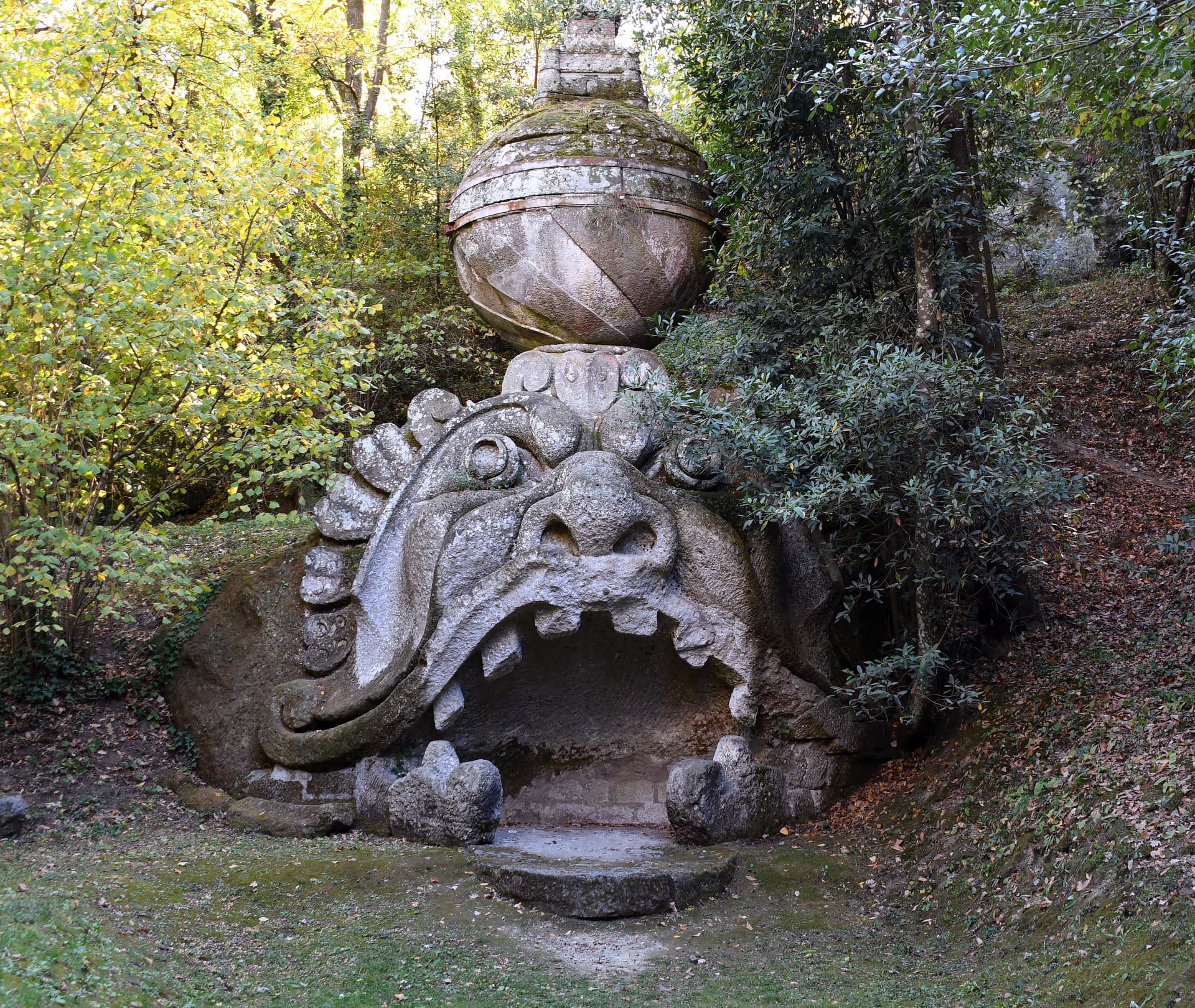
Bomarzo
Province: Viterbo · 263 m
The Tuscia village below the Sacro Bosco, the 16th-century stone-monster garden built by a grieving condottiero for his dead wife.
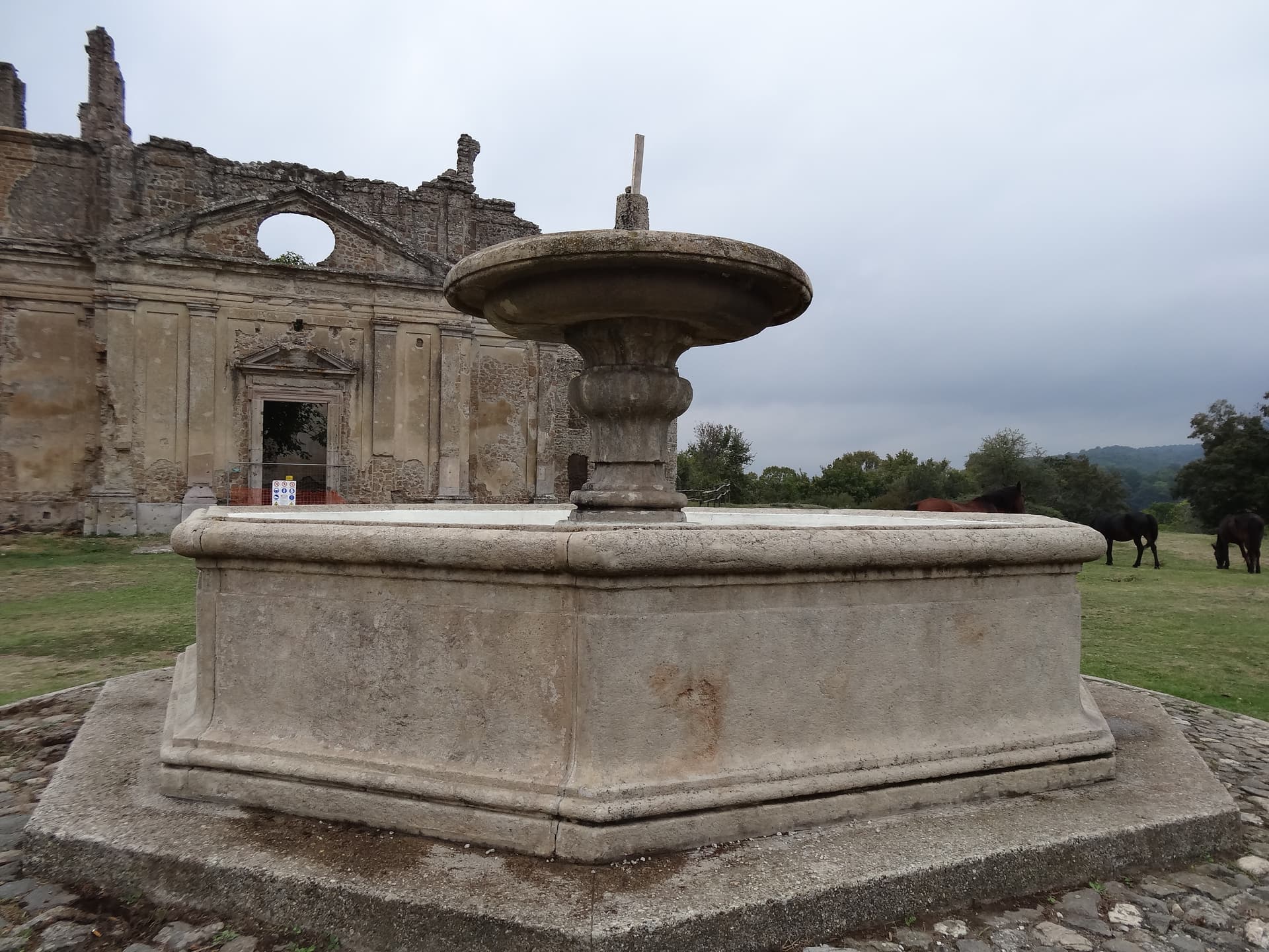
Canale Monterano
Province: Roma · 376 m
A hilltop village next to the burned ghost town of Monterano, where Bernini's San Bonaventura and the Baroque fountain stand roofless.
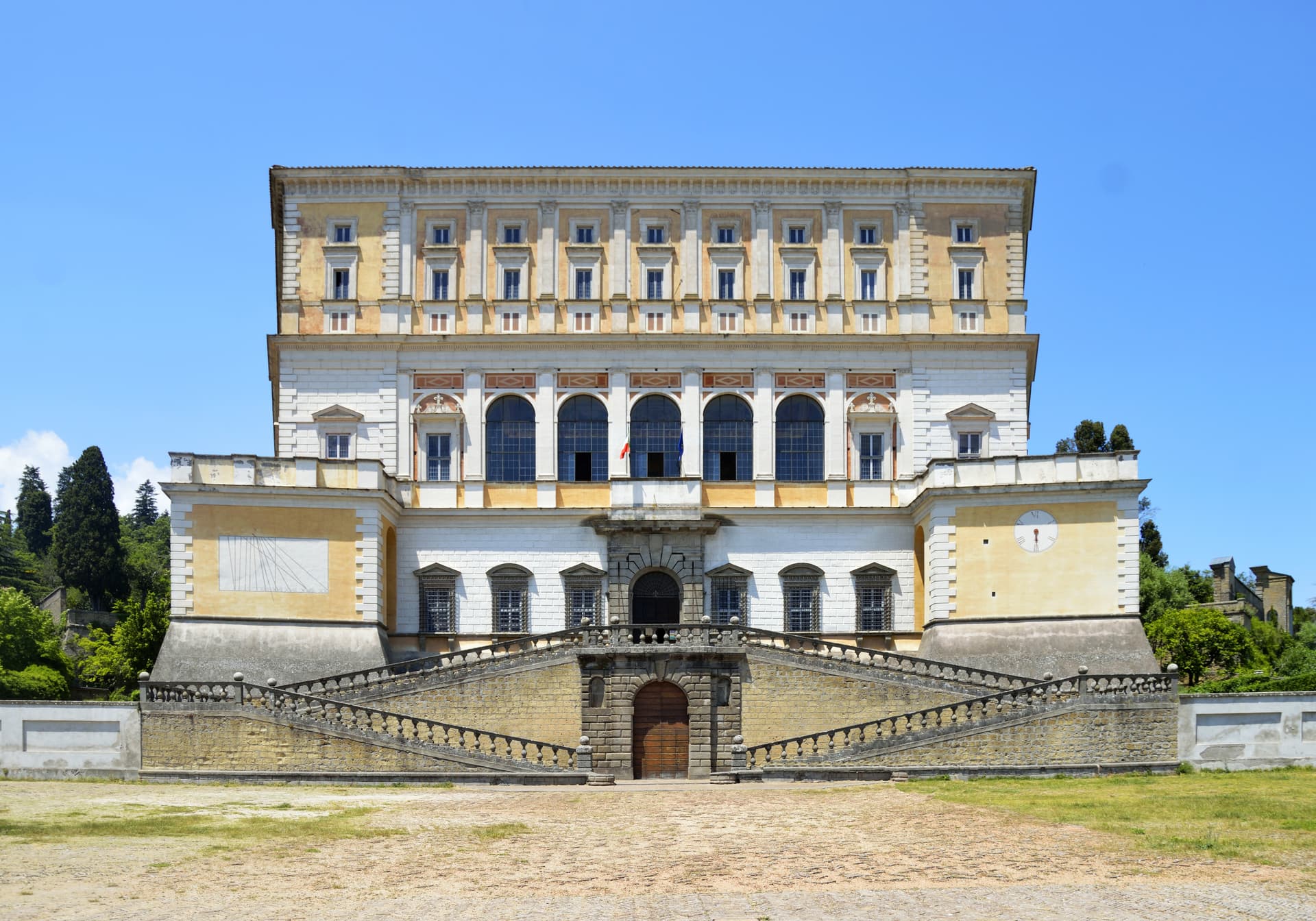
Caprarola
Province: Viterbo · 510 m
A Cimini hill town above Lago di Vico, dominated by the pentagonal Villa Farnese that Vignola built for the Farnese cardinals between 1559 and 1573.
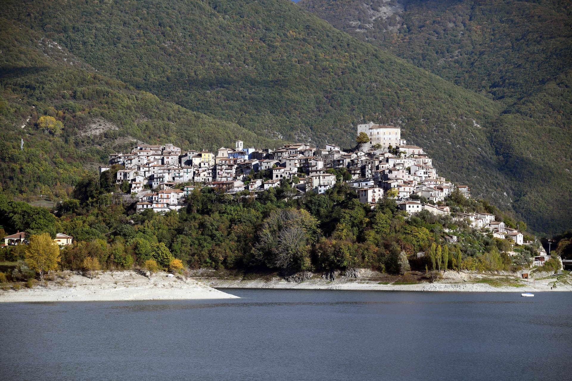
Castel di Tora
Province: Rieti · 607 m
A village of 266 on Lago del Turano at 607 meters, with an eleventh-century polygonal tower and a ghost promontory called Antuni.
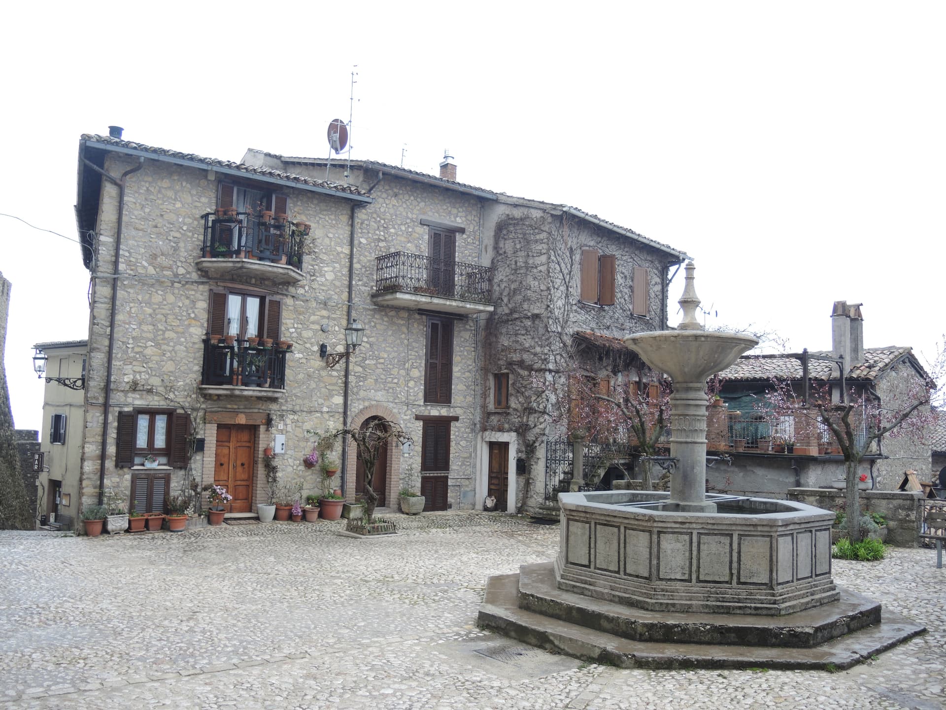
Collalto Sabino
Province: Rieti · 980 m
A 980-meter Sabine borgo dominated by a Barberini baronial castle, with a 360-degree panorama from the keep over the Gran Sasso, Terminillo and Maiella.
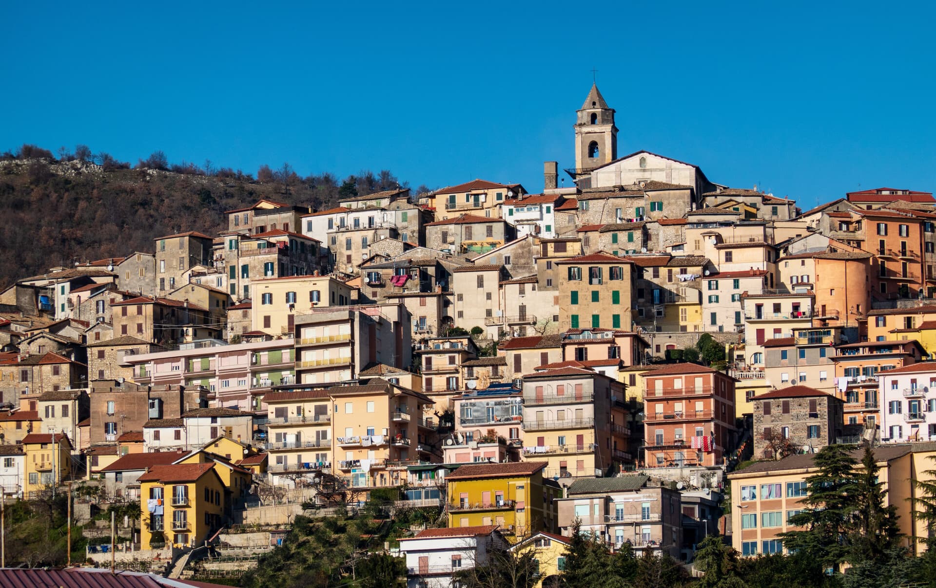
Fiuggi
Province: Frosinone · 747 m
The Ernici-mountain thermal town where Boniface VIII and Michelangelo both came to dissolve kidney stones with the oligomineral spring water.
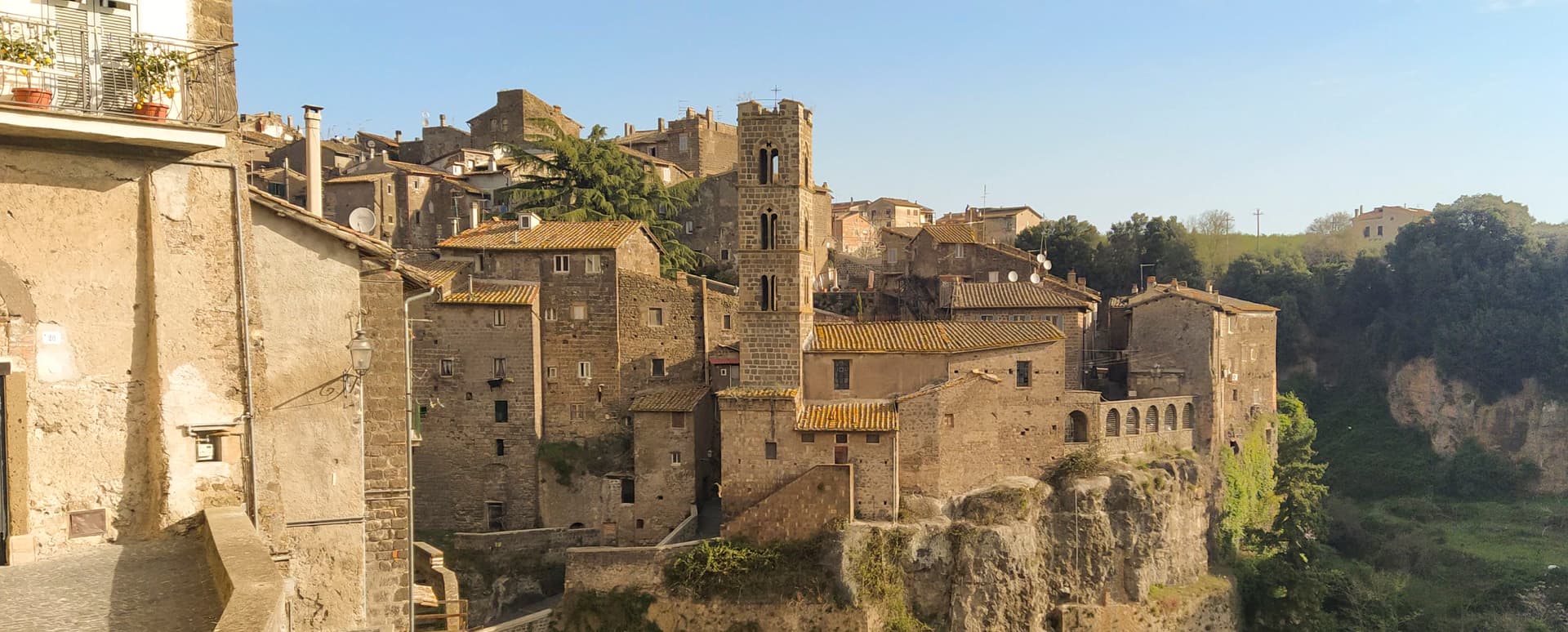
Ronciglione
Province: Viterbo · 441 m
A tufa-brick borgo above Lake Vico at 441 meters, fortified by the Prefects of Vico and crowned Borgo dei Borghi in 2023.
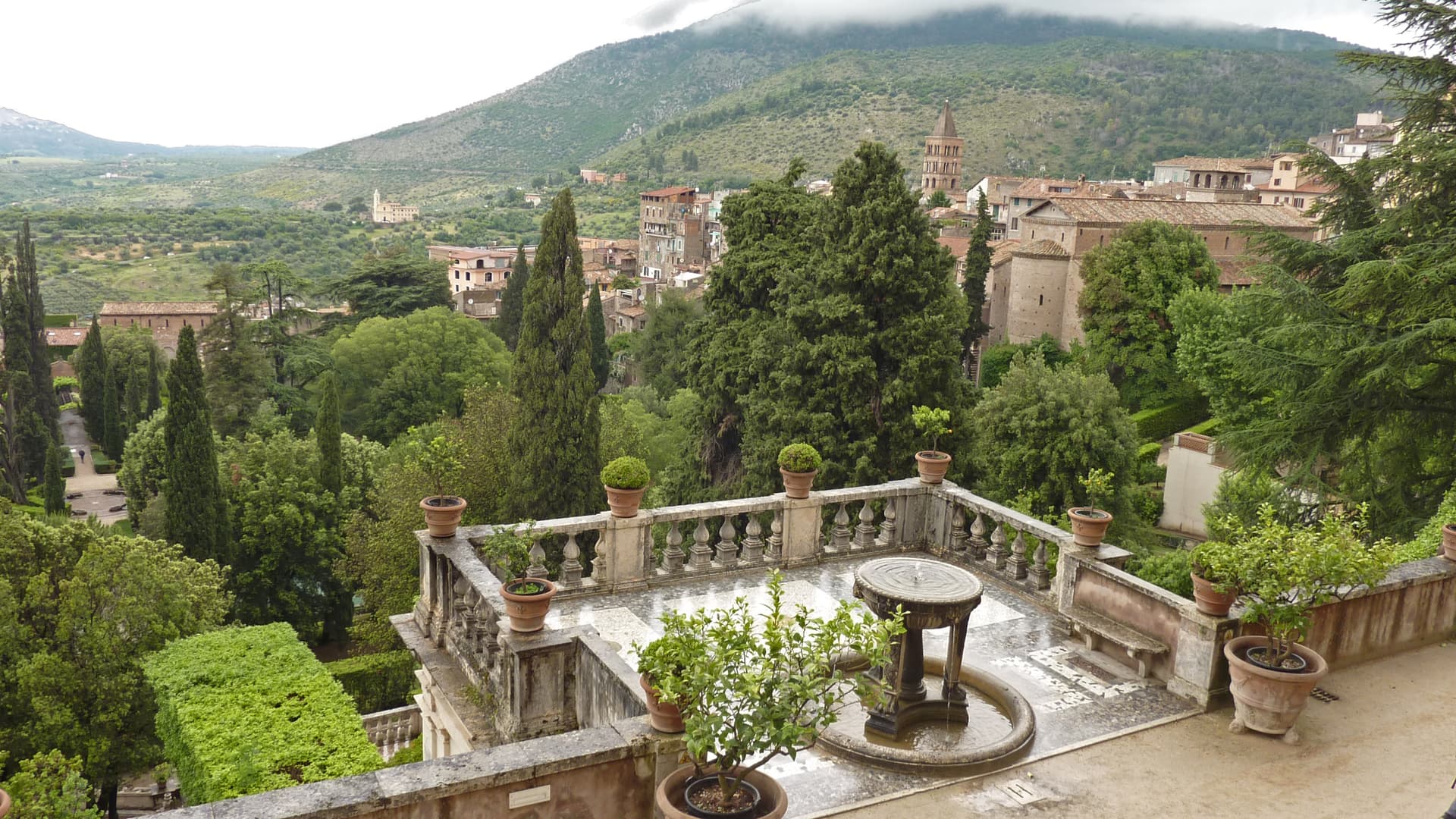
Tivoli
Province: Roma · 235 m
A travertine town on the Aniene falls twenty-five kilometers east of Rome, holding two separate UNESCO sites: Hadrian's villa below and the Villa d'Este above.
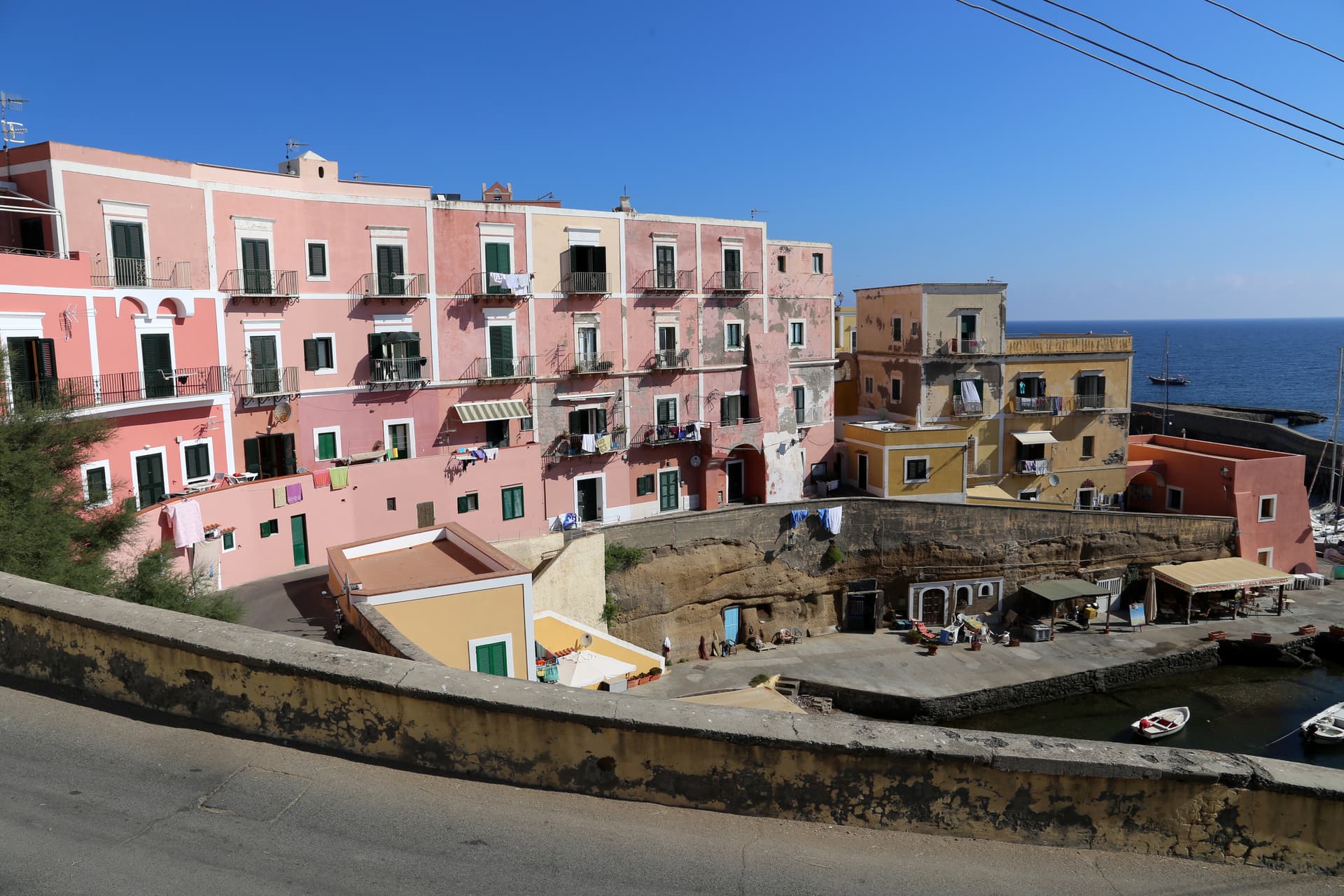
Ventotene
Province: Latina · 18 m
The smaller of the inhabited Pontine Islands, a flat three-kilometer tuff platform where Altiero Spinelli drafted the federalist Manifesto in 1941.
Lombardy5
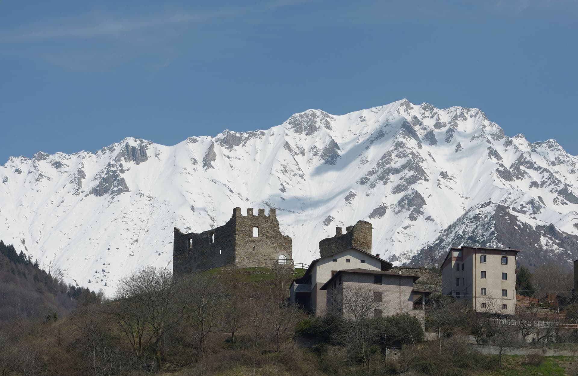
Cimbergo
Province: Brescia · 851 m
A village of 533 at 851 meters above the Oglio, with castle ruins on a spur and UNESCO petroglyphs on the slopes below.
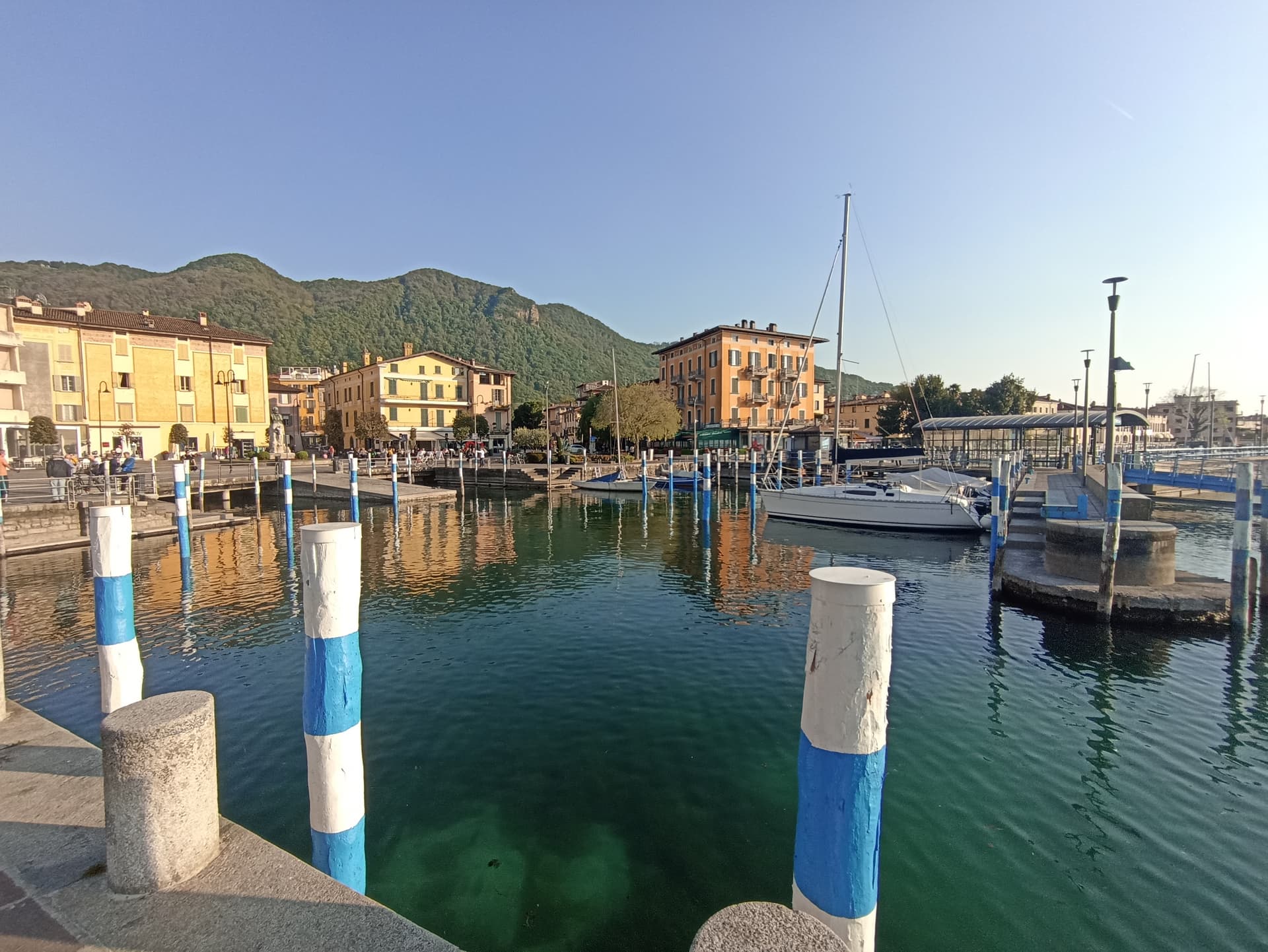
Iseo
Province: Brescia · 198 m
The main town on the southeast shore of Lake Iseo, gateway to Monte Isola and the Franciacorta sparkling wine country.
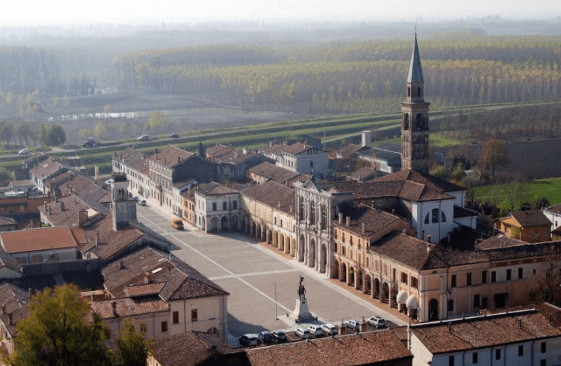
Pomponesco
Province: Mantova · 21 m
A Mantova river village at 21 meters on the Po's left bank, with a late-Cinquecento Gonzaga grid and arcaded central piazza.
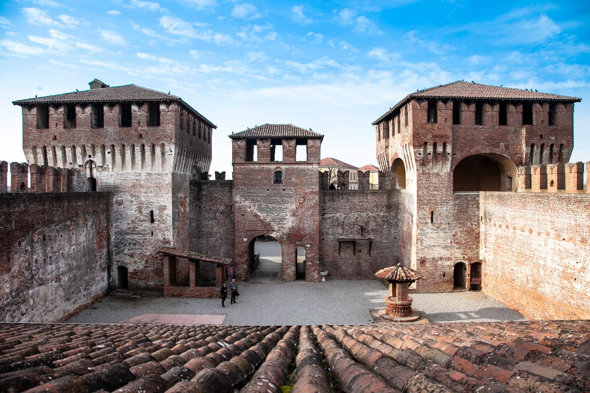
Soncino
Province: Cremona · 88 m
A walled borgo on the Oglio with the Sforza fortress of 1473 and the press that printed the first complete Hebrew Bible in 1488.
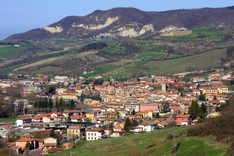
Varzi
Province: Pavia · 416 m
A medieval Malaspina town at 416 meters in the Staffora valley of the Oltrepò Pavese, the seat of one of Italy's first DOP cured meats.
Molise2
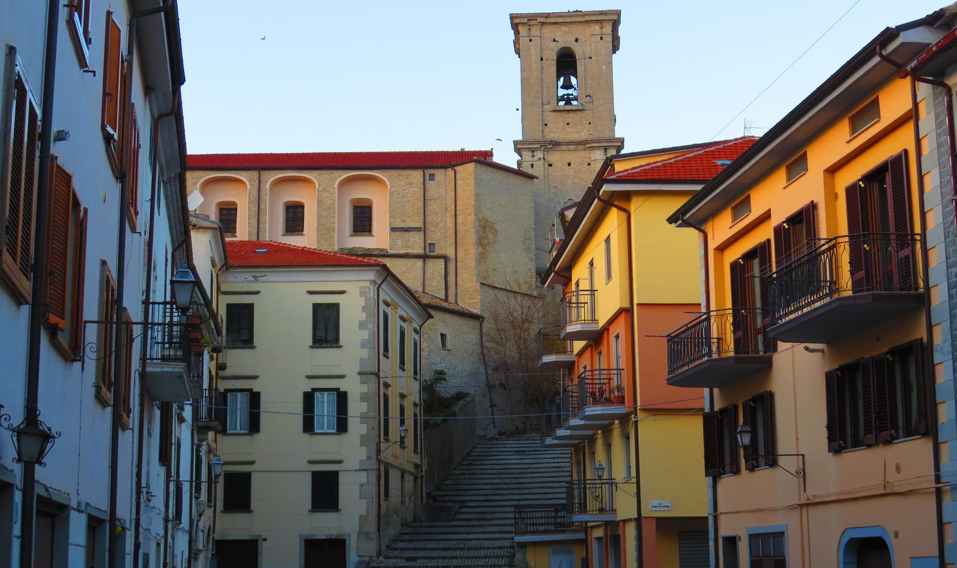
Agnone
Province: Isernia · 840 m
At 840 meters in the Alto Molise, town of the Marinelli pontifical bell foundry and the Ndocciata fire procession on Christmas Eve.
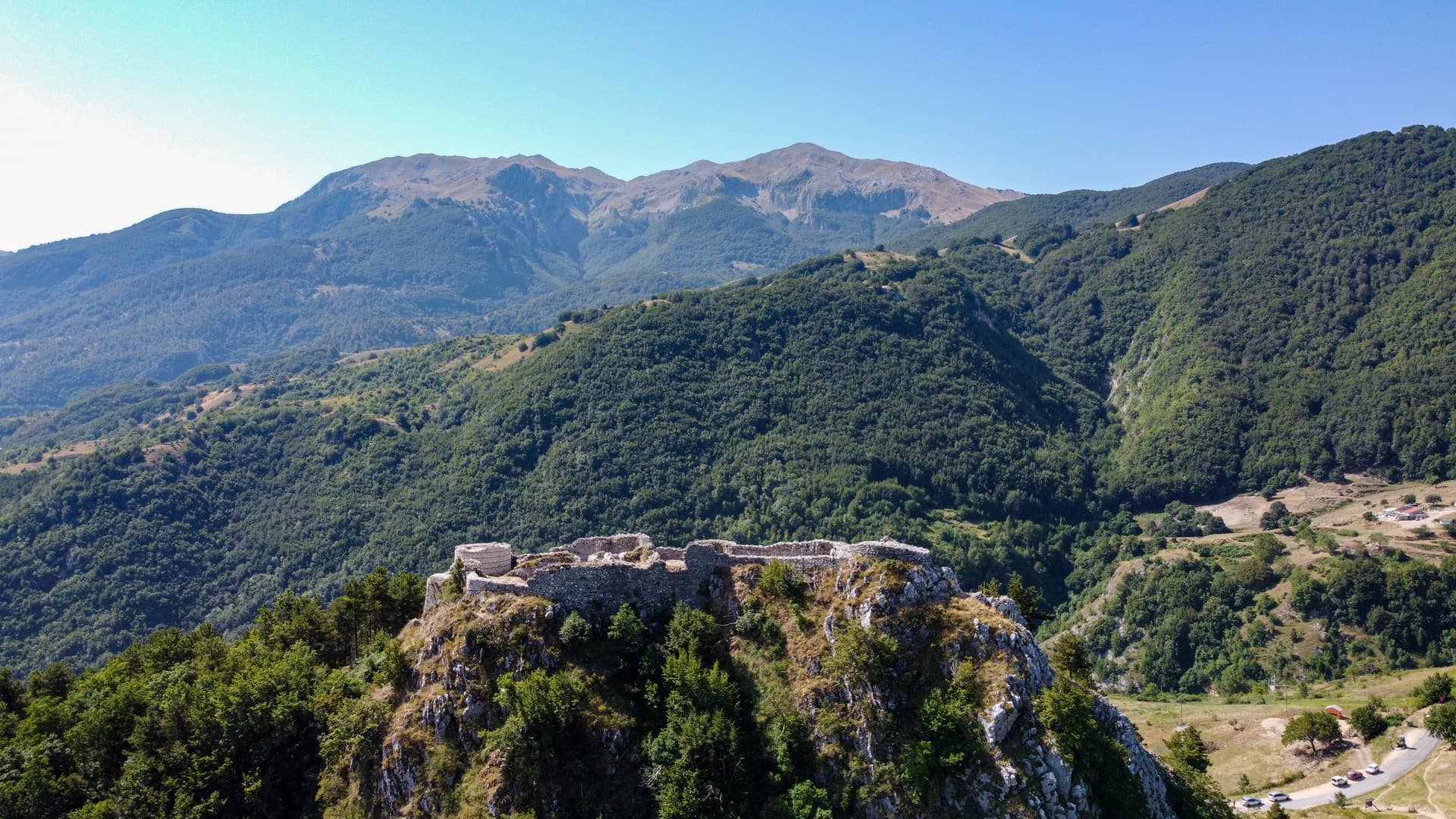
Roccamandolfi
Province: Isernia · 850 m
At 850 meters at the foot of Monte Miletto, a Matese village of brigand legends, Lombard ruins, and a Tibetan bridge over the Callora canyon.
Piedmont7
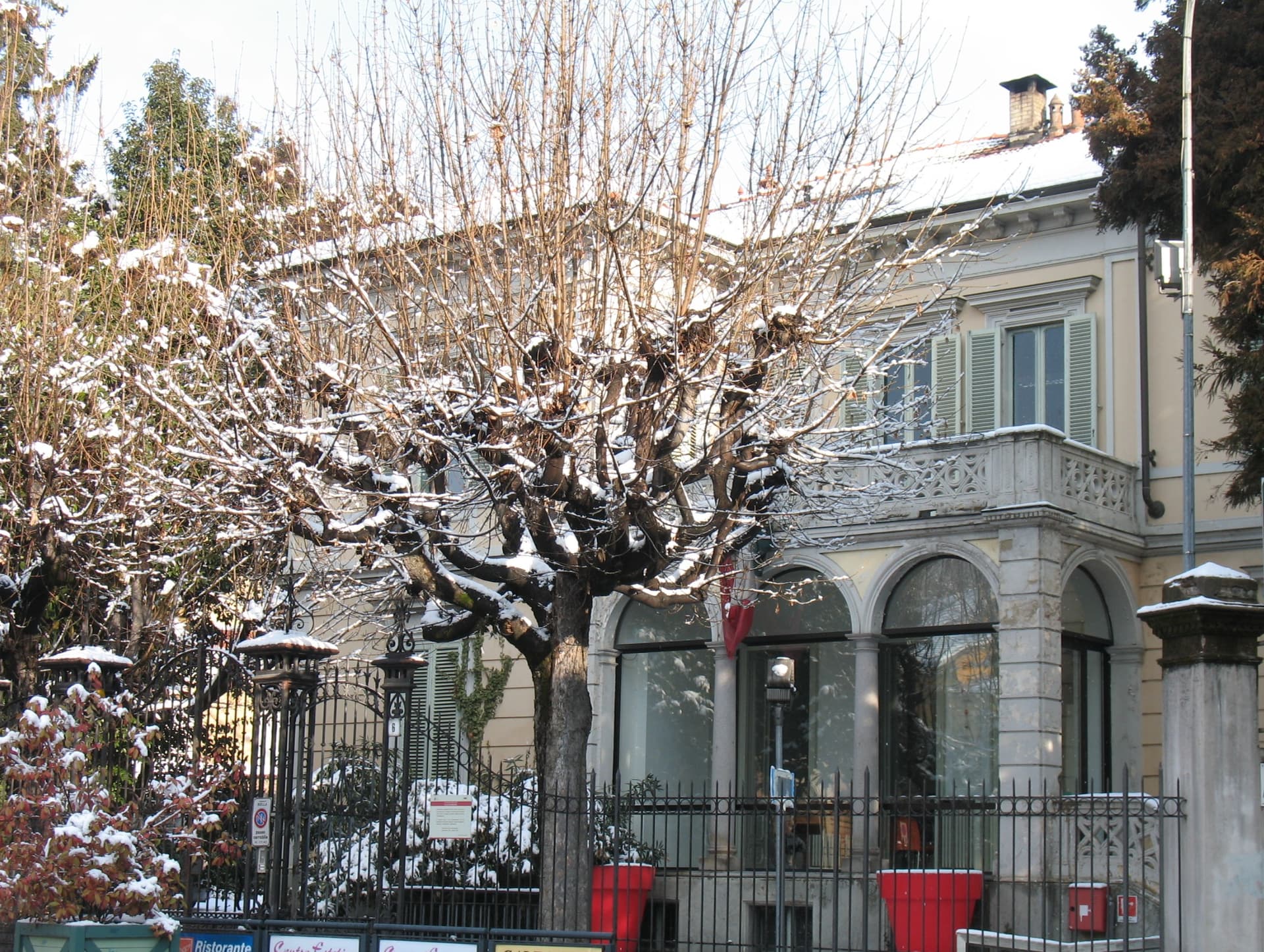
Biella
Province: Biella · 417 m
A wool city at 417 meters in the Alpine foothills, where the medieval Piazzo sits above the modern Piano, connected by a funicular since 1885.
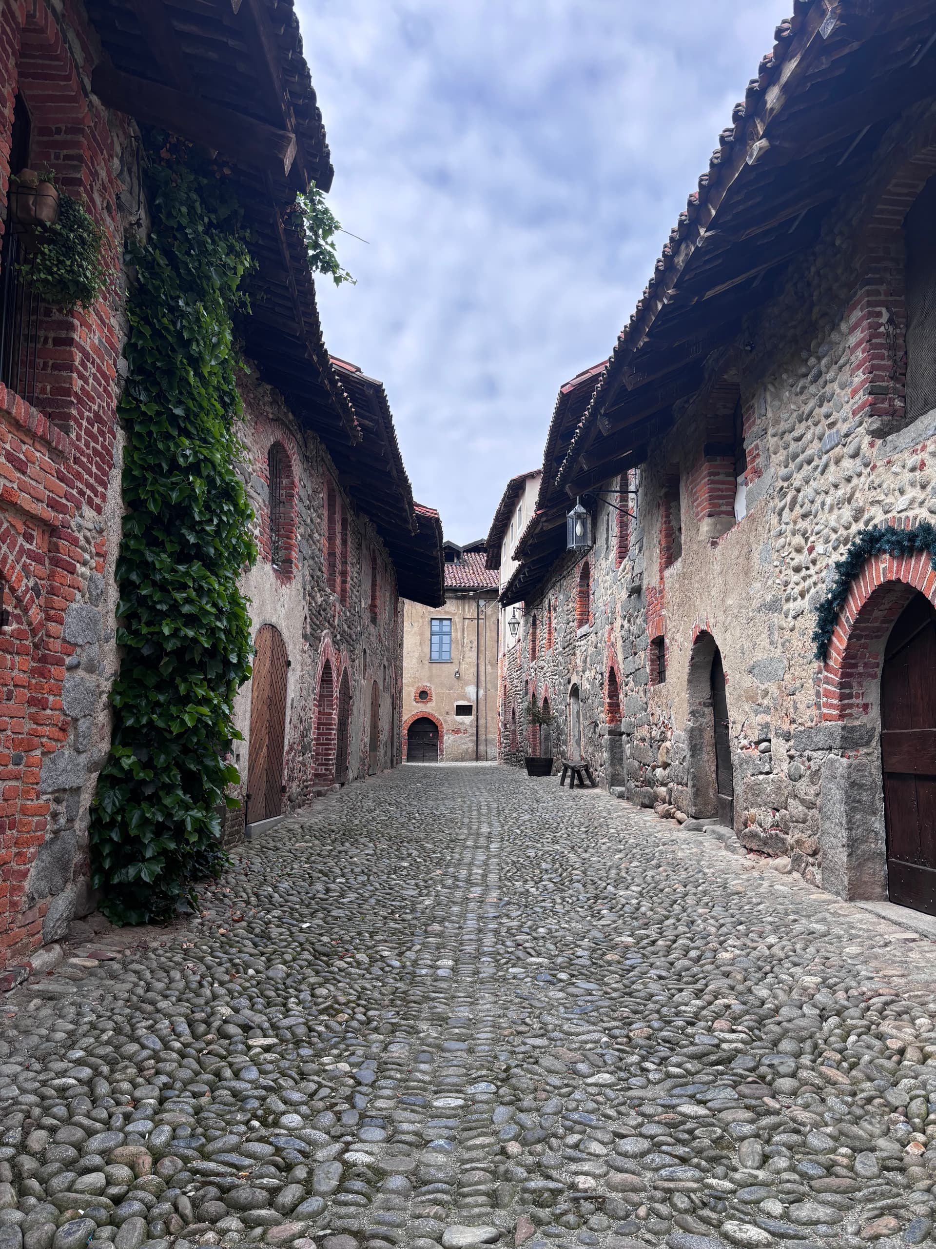
Candelo
Province: Biella · 350 m
A Biellese commune at 350 meters whose Ricetto, a 13th-century fortified shelter of two hundred stone cellule, is the best-preserved in Piedmont.
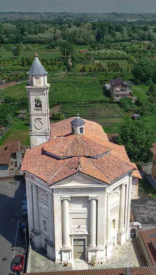
Gattinara
Province: Vercelli · 265 m
The Alto Piemonte Nebbiolo town on volcanic soil between the Sesia and Monte Rosa, DOCG since 1990, with a tenth-century watchtower above the vines.
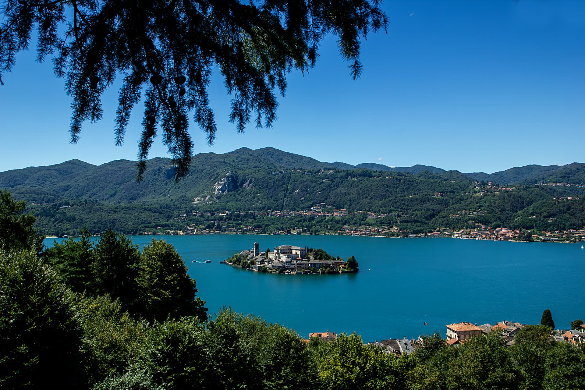
Gozzano
Province: Novara · 367 m
The town at the southern tip of Lake Orta, with a ninth-century basilica for Saint Julian and a twelfth-century signaling tower above the water.
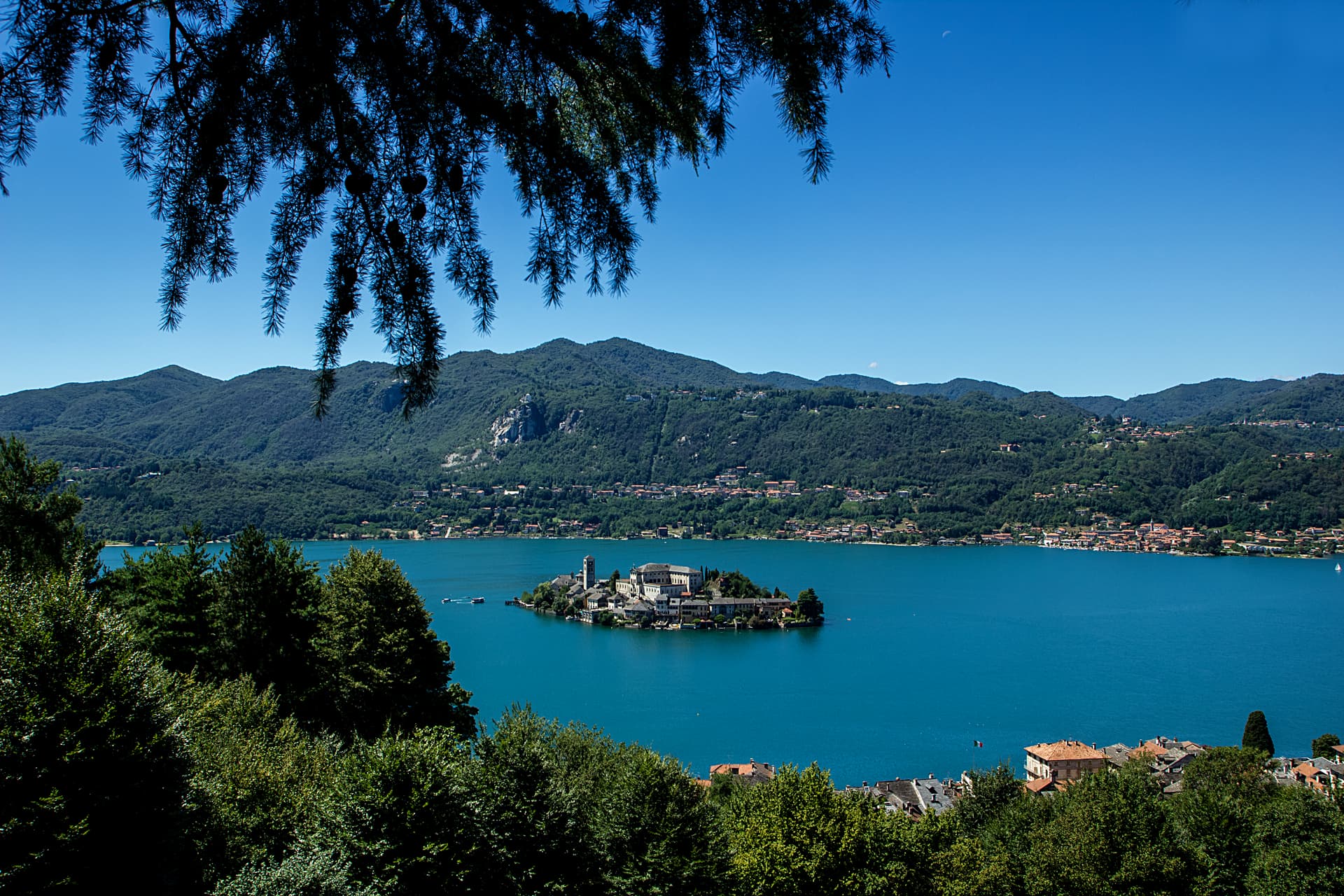
Orta San Giulio
Province: Novara · 294 m
A Lake Orta promontory facing an islet with a Romanesque basilica, plus a UNESCO Sacro Monte of twenty Francis-of-Assisi chapels on the hill above.
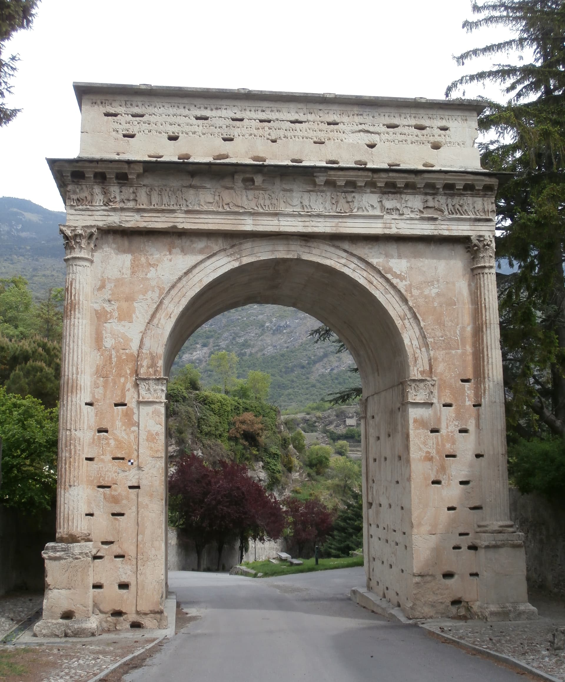
Susa
Province: Torino · 503 m
The Roman gateway to the Cottian Alps at 503 meters, capital of the Alpes Cottiae and seat of the Cozii under Augustus and Cottius.
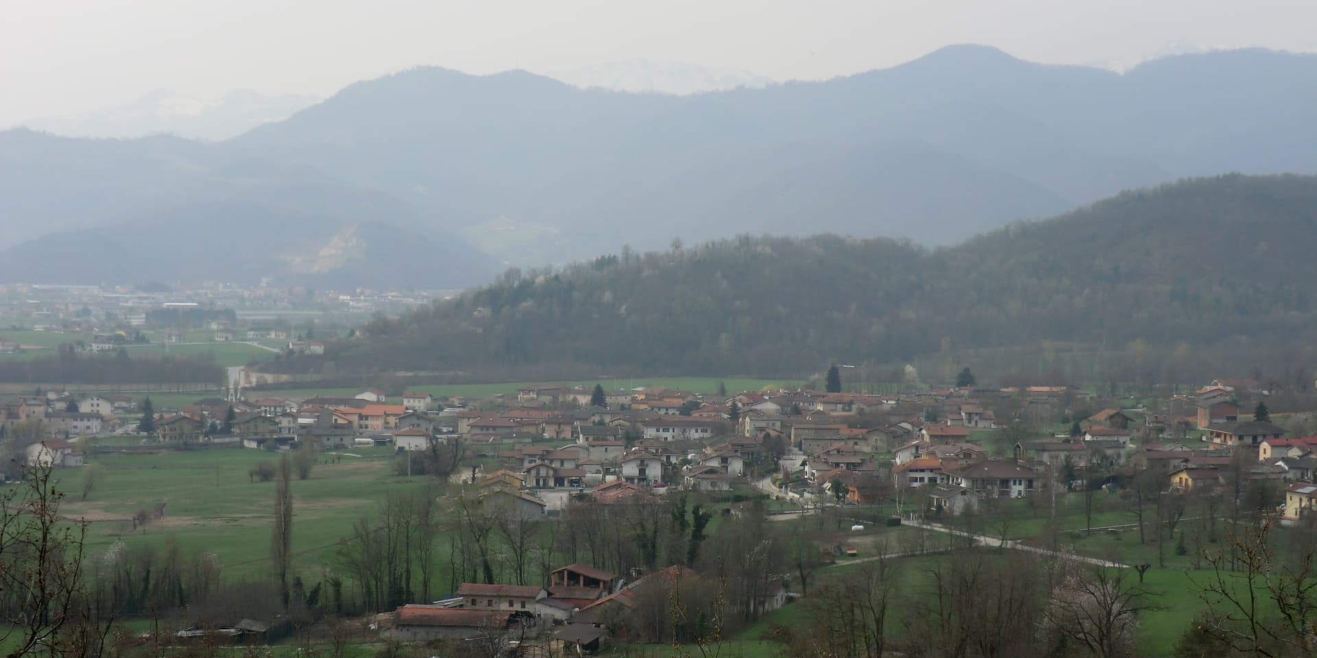
Villar San Costanzo
Province: Cuneo · 605 m
A Val Maira village at 605 meters under Monte San Bernardo, with a reserve of 479 mushroom-shaped erosion columns.
Sicily27
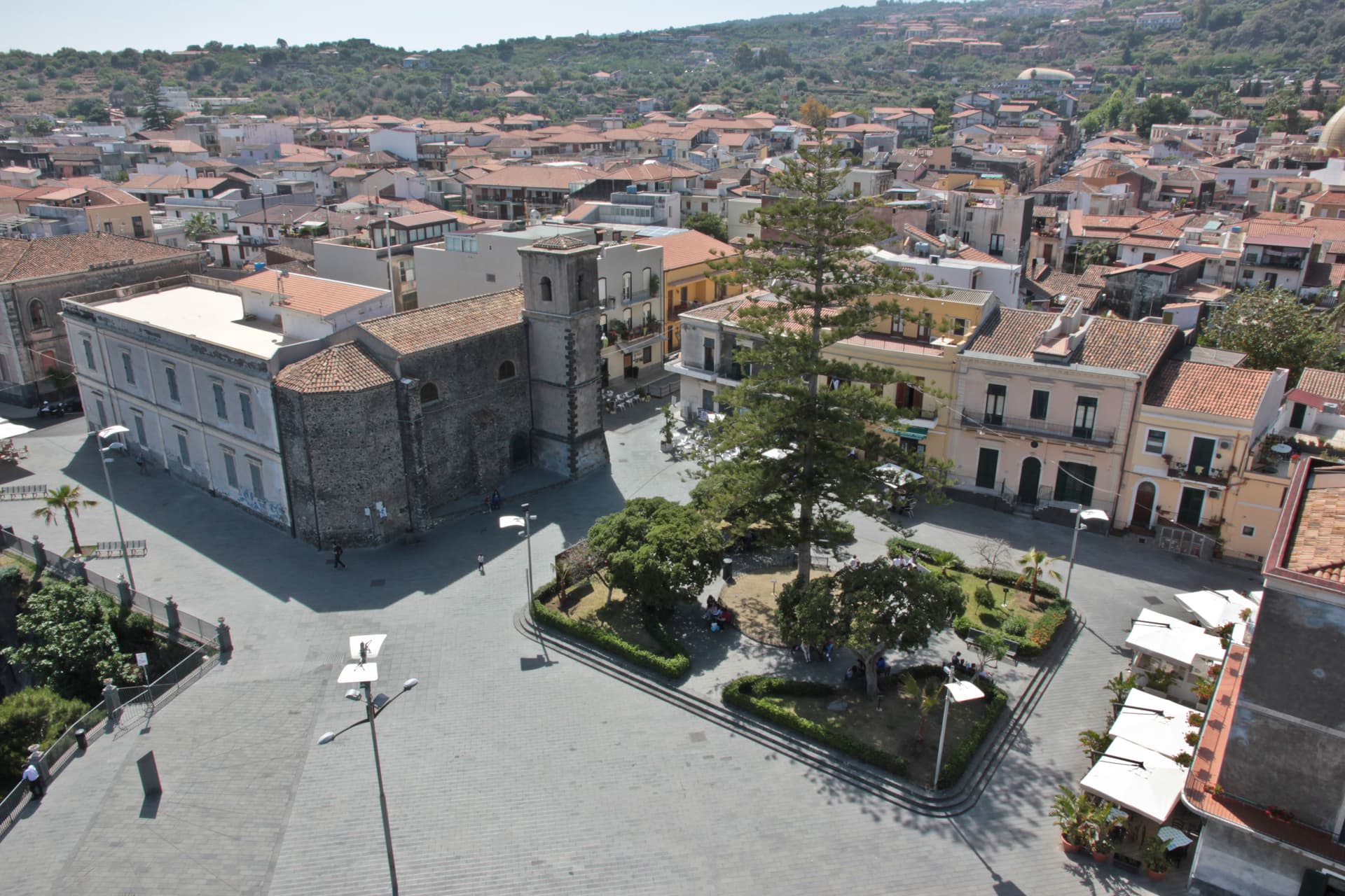
Aci Castello
Province: Catania · 15 m
A coastal town just north of Catania on the Riviera dei Ciclopi, where the basalt headland holds the 1076 Norman Castello d'Aci and the seven volcanic Faraglioni dei Ciclopi rise from the sea — the rocks the Cyclops threw at Odysseus in Homer's Odyssey.
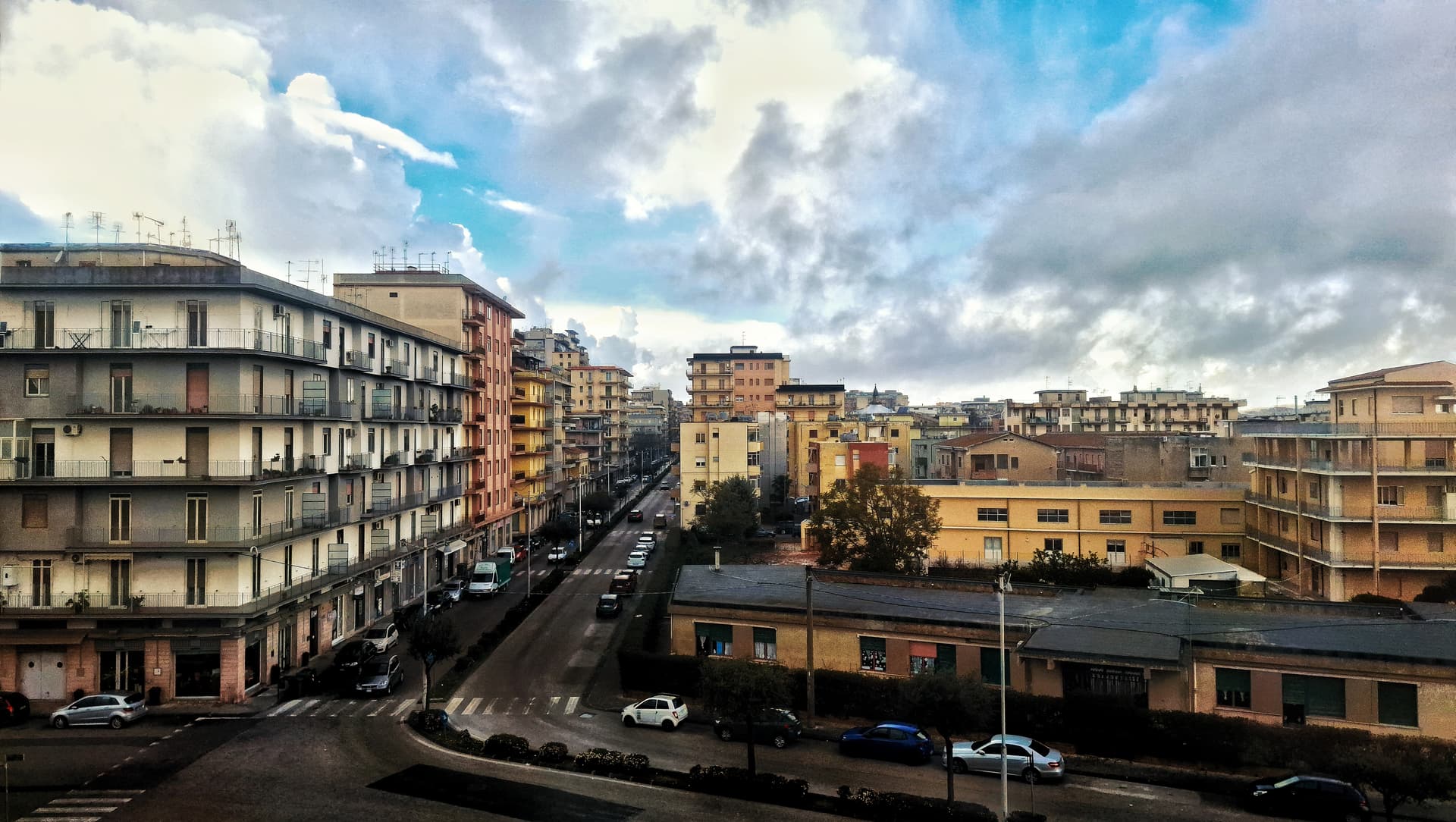
Caltagirone
Province: Catania · 611 m
Sicily's ceramic capital at 611 meters on the Erei ridge, 142 majolica-tiled steps to Santa Maria del Monte and a Val di Noto UNESCO baroque rebuild.
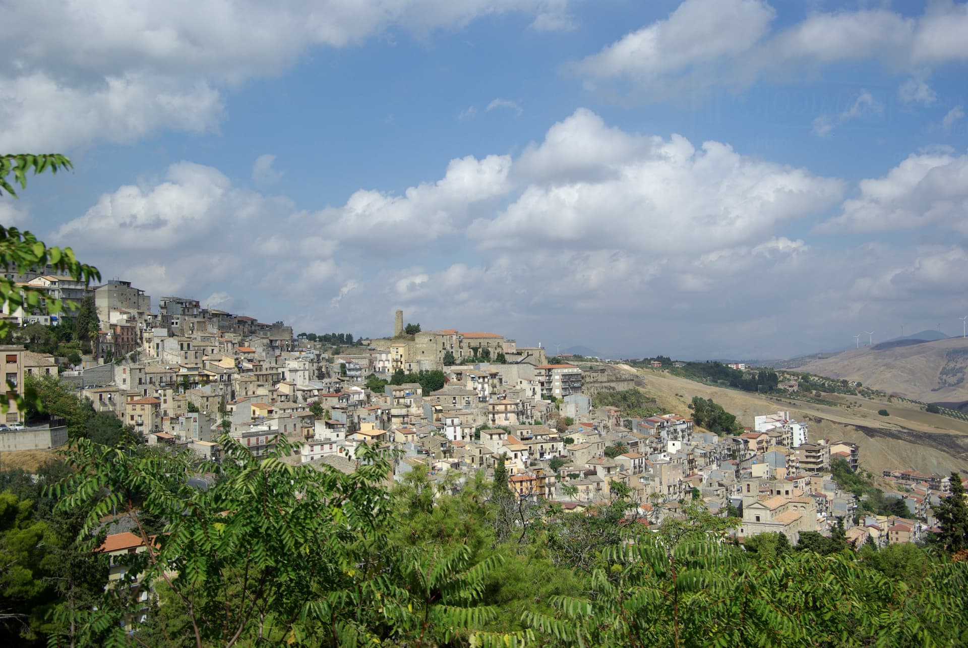
Cammarata
Province: Agrigento · 700 m
A Sicani town at 700 meters on the northeast slope of Monte Cammarata, the 1,578-meter peak that gives the comune its name and shape.
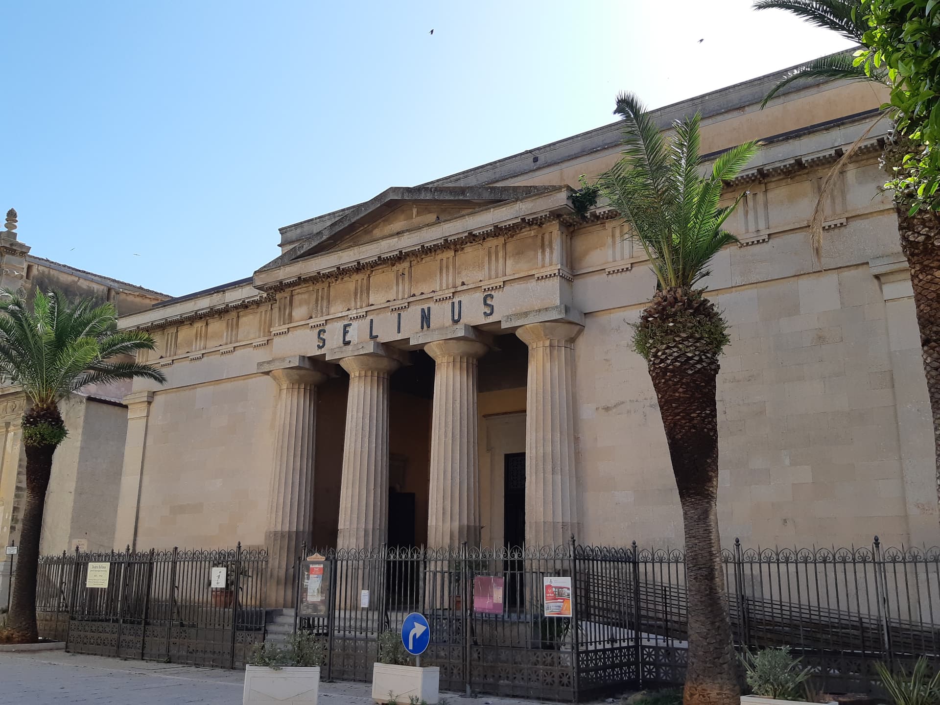
Castelvetrano
Province: Trapani · 187 m
The Belice valley town that owns Selinunte, the largest archaeological park in Europe, and bakes black bread from grain found in its tombs.
Catania
Province: Catania · 7 m
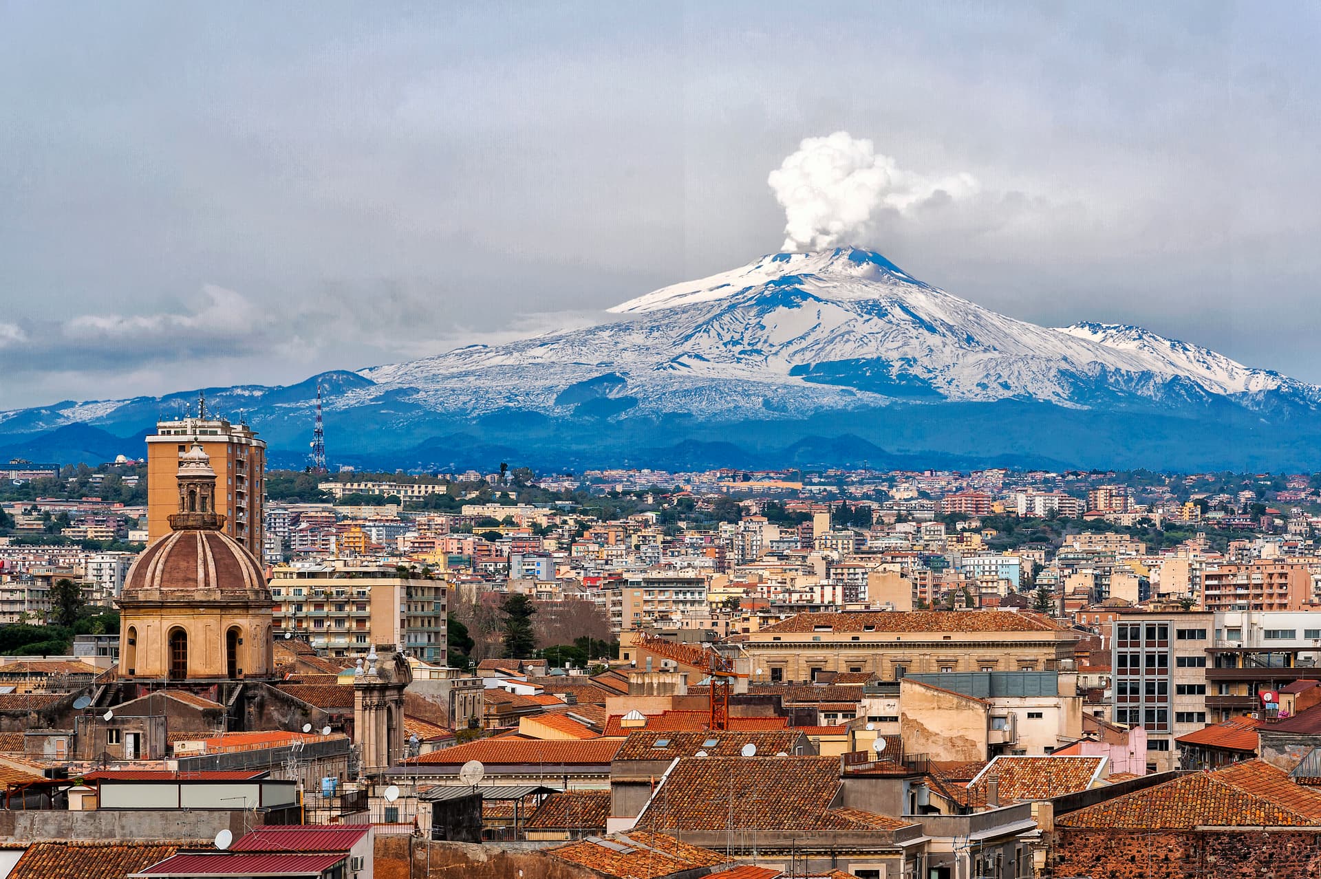
Sicily's second city and the cultural anchor of the Ionian coast — a UNESCO late-Baroque centro storico rebuilt in lava-black stone after the 1693 earthquake, sitting at the foot of Etna with a 17th-century elephant fountain (U Liotru) as its civic symbol.
Corleone
Province: Palermo · 542 m
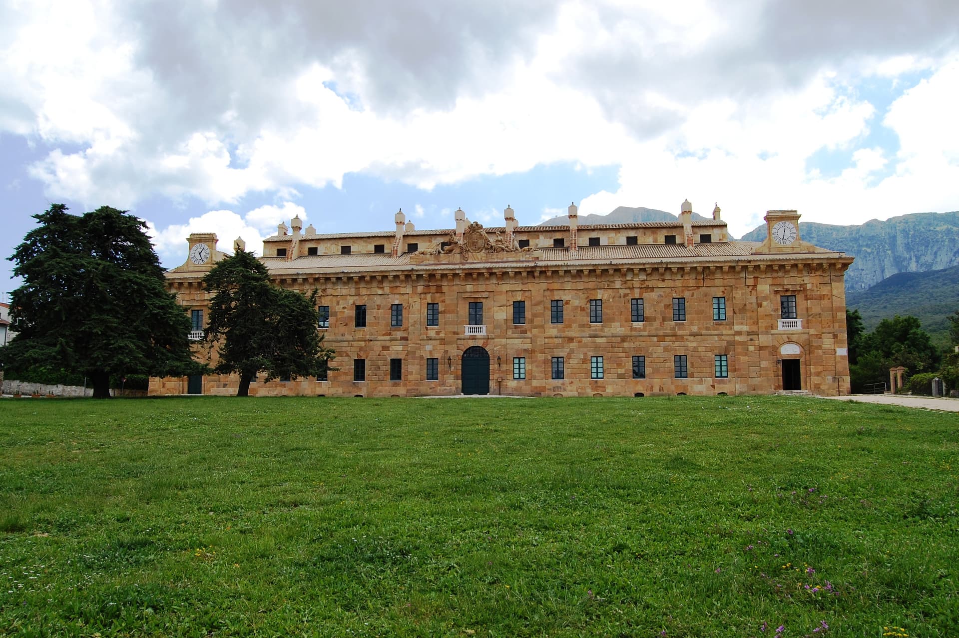
A town of 10,364 in the Palermo hinterland that gave its name to Mario Puzo's Don Vito and now runs Italy's national antimafia documentation centre.
Ferla
Province: Siracusa · 500 m
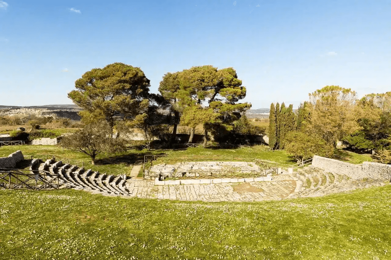
A baroque village at 500 meters on the Monte Lauro slopes, the western gateway to the UNESCO necropolis of Pantalica eleven kilometers downhill.
Ispica
Province: Ragusa · 170 m
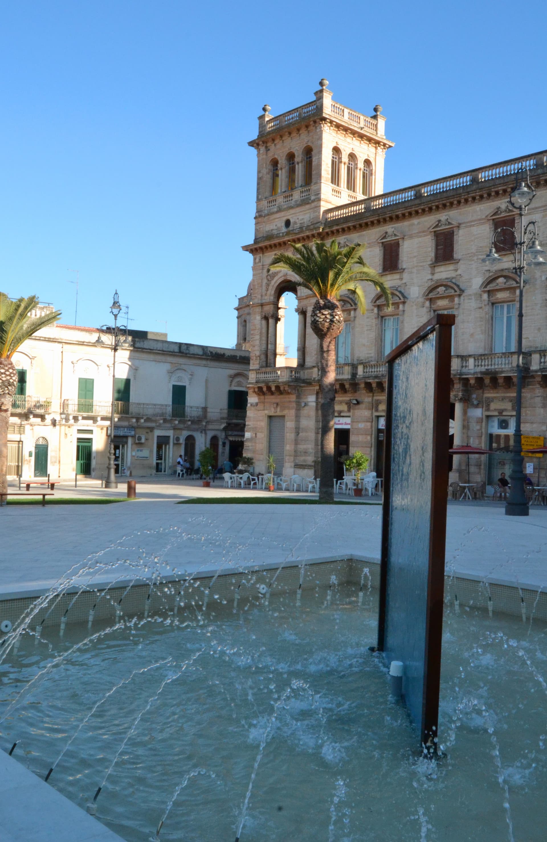
A Val di Noto Baroque hilltown on the southern Iblei plateau anchored by the 13-km Cava d'Ispica canyon with its 3,000+ rock-cut tombs and prehistoric dwellings — one of the largest cave-necropolis sites in the Mediterranean.
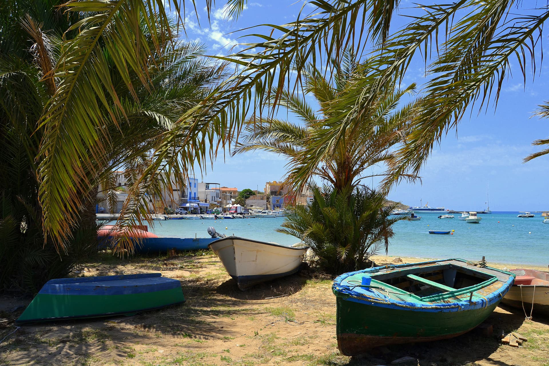
Lampedusa e Linosa
Province: Agrigento · 25 m
Italy's southernmost comune, three islands on the African continental shelf, closer to Tunisia than to Sicily.
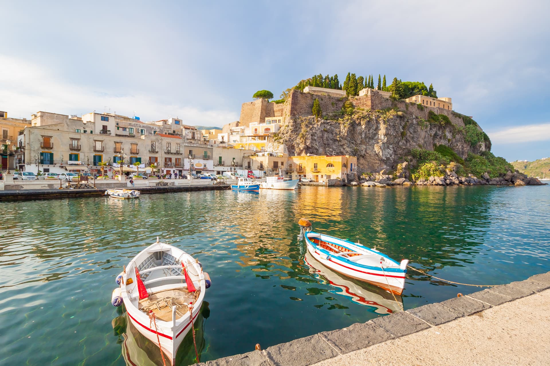
Lipari
Province: Messina · 44 m
The largest Aeolian island and the only municipality that administers six of the seven, with a clifftop castle citadel rising above two harbors.
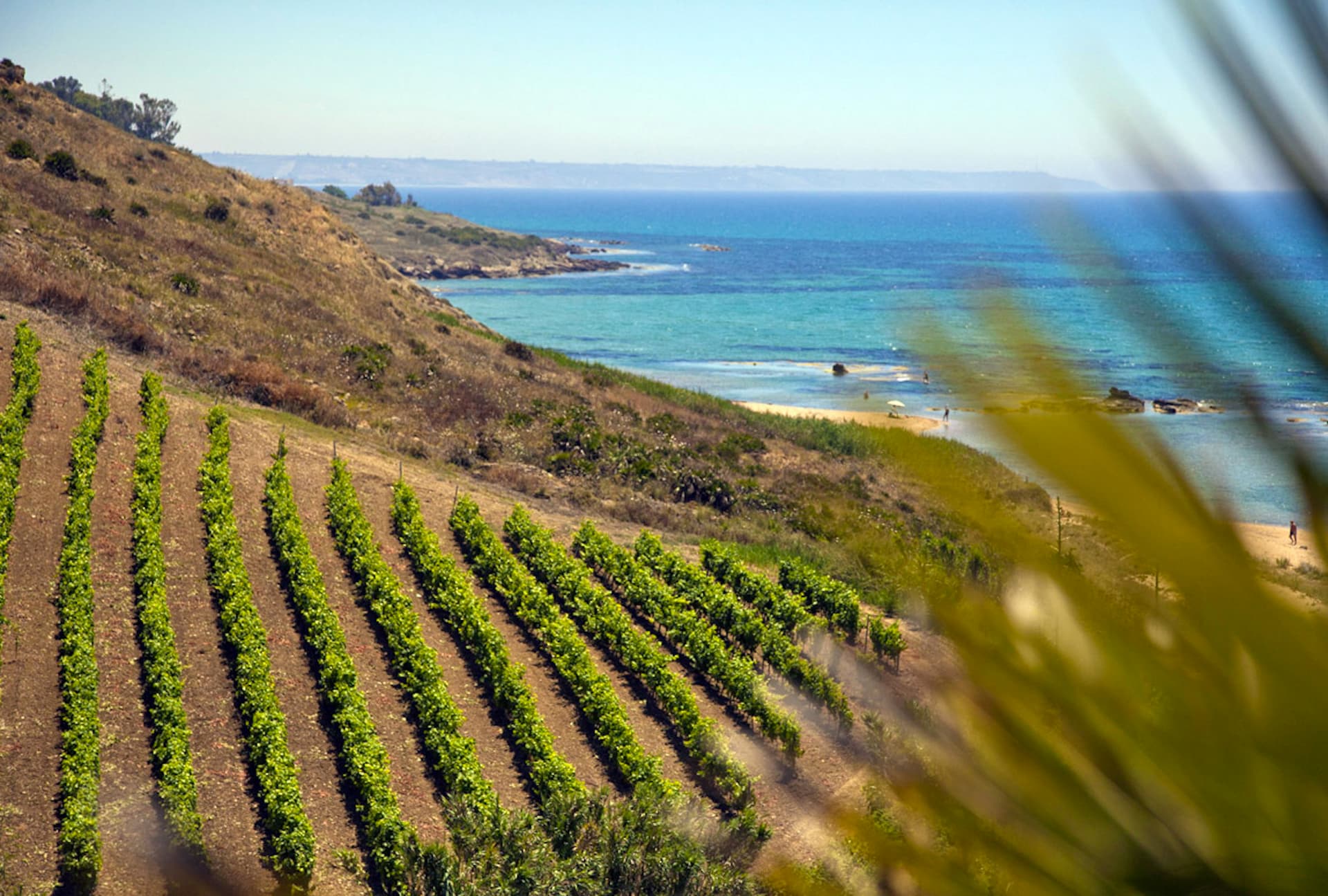
Menfi
Province: Agrigento · 119 m
Sicily's triple-signal western coast town — 11,800 residents on a low ridge above 9 km of Bandiera Blu sand at Porto Palo, with the Federico II tower, the Cantine Settesoli cooperative (Italy's largest by volume, 2,000 grower-members), and the rare Bandiera Blu + Città del Vino + Città dell'Olio combination.
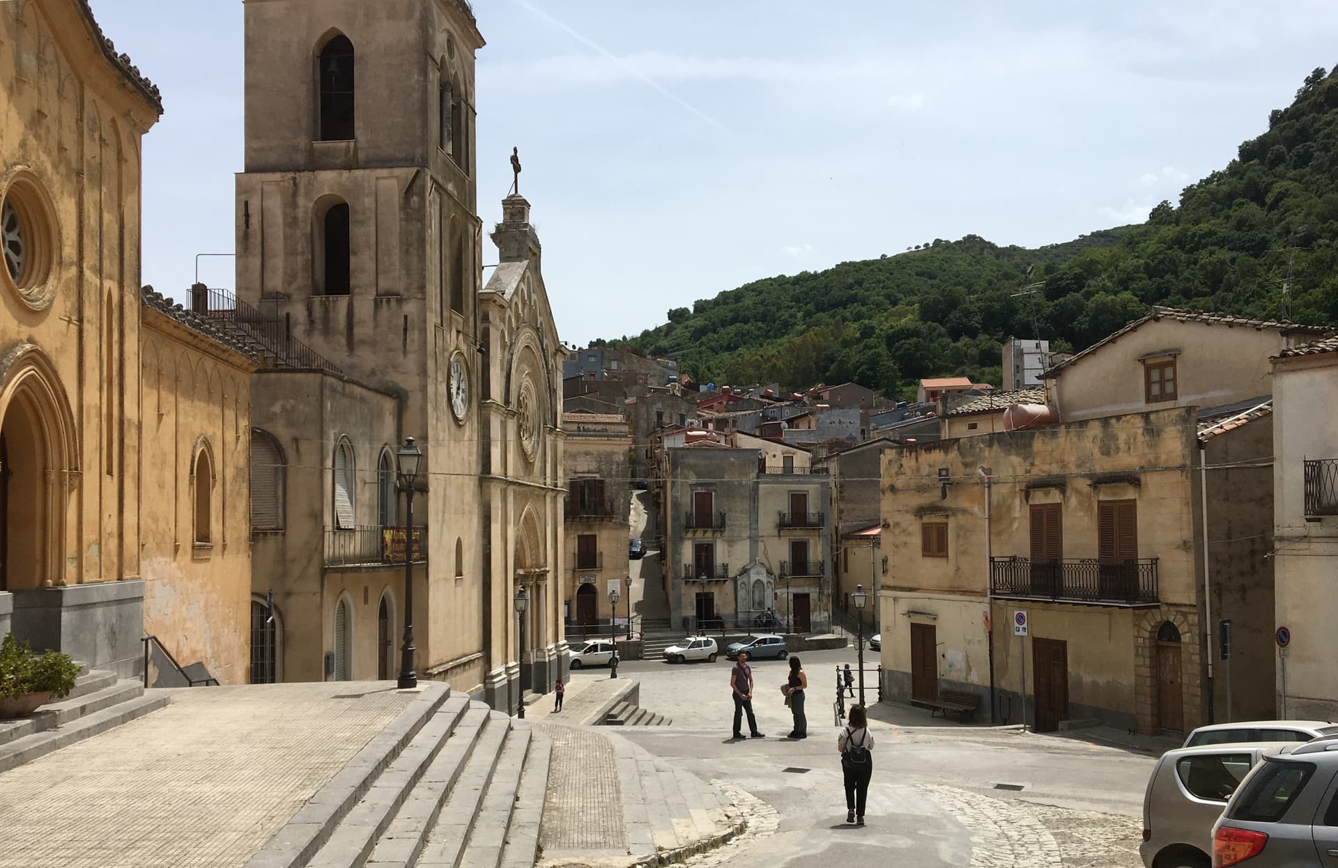
Mezzojuso
Province: Palermo · 534 m
An Arbëreshë village on the slope of Rocca Busambra, two mother churches (one Latin, one Byzantine), and an Arabic name meaning the houses of Joseph.
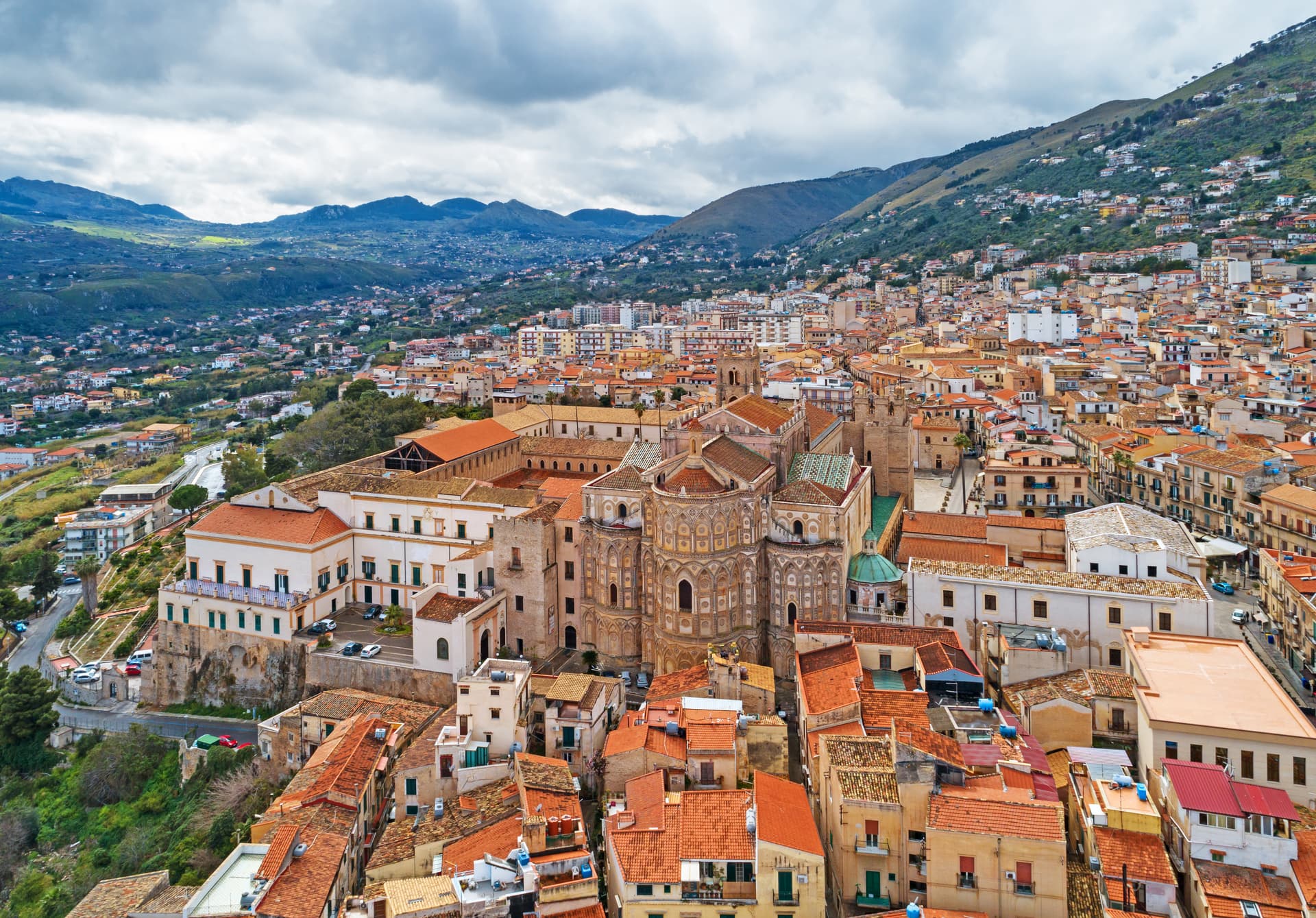
Monreale
Province: Palermo · 310 m
Above the Conca d'Oro at 310 meters, the cathedral William II built between 1174 and 1182 holds 6,340 square meters of Norman mosaics.
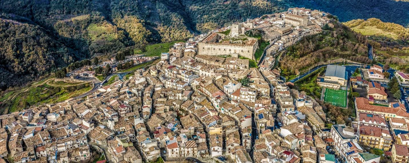
Montalbano Elicona
Province: Messina · 907 m
A Nebrodi castle town at 907 meters, Frederick III of Aragon's summer residence and gateway to the Argimusco megalithic plateau.
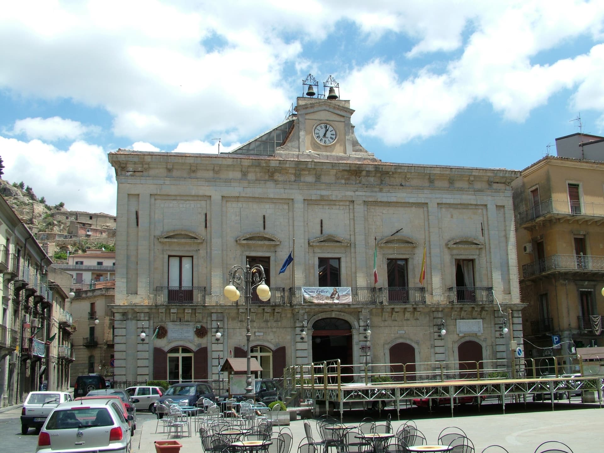
Nicosia
Province: Enna · 720 m
A Byzantine-Norman royal city at 720 meters on four hills, one of Sicily's principal Gallo-Italic centres where the Lombard dialect nkoukkà still survives.
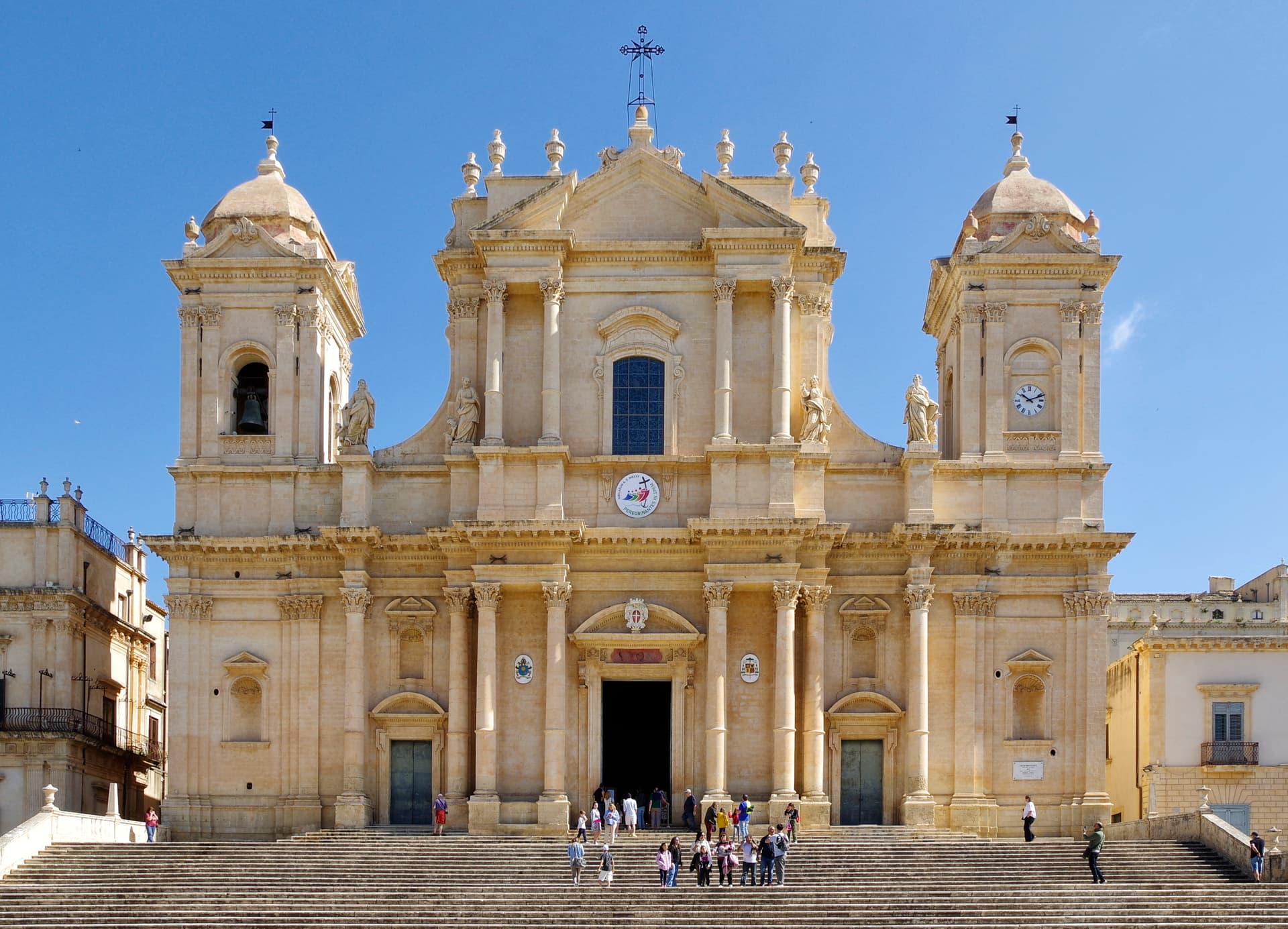
Noto
Province: Siracusa · 152 m
The capital of Sicilian Baroque, rebuilt in golden limestone after 1693 and the UNESCO showcase for the Late Baroque Towns of the Val di Noto.
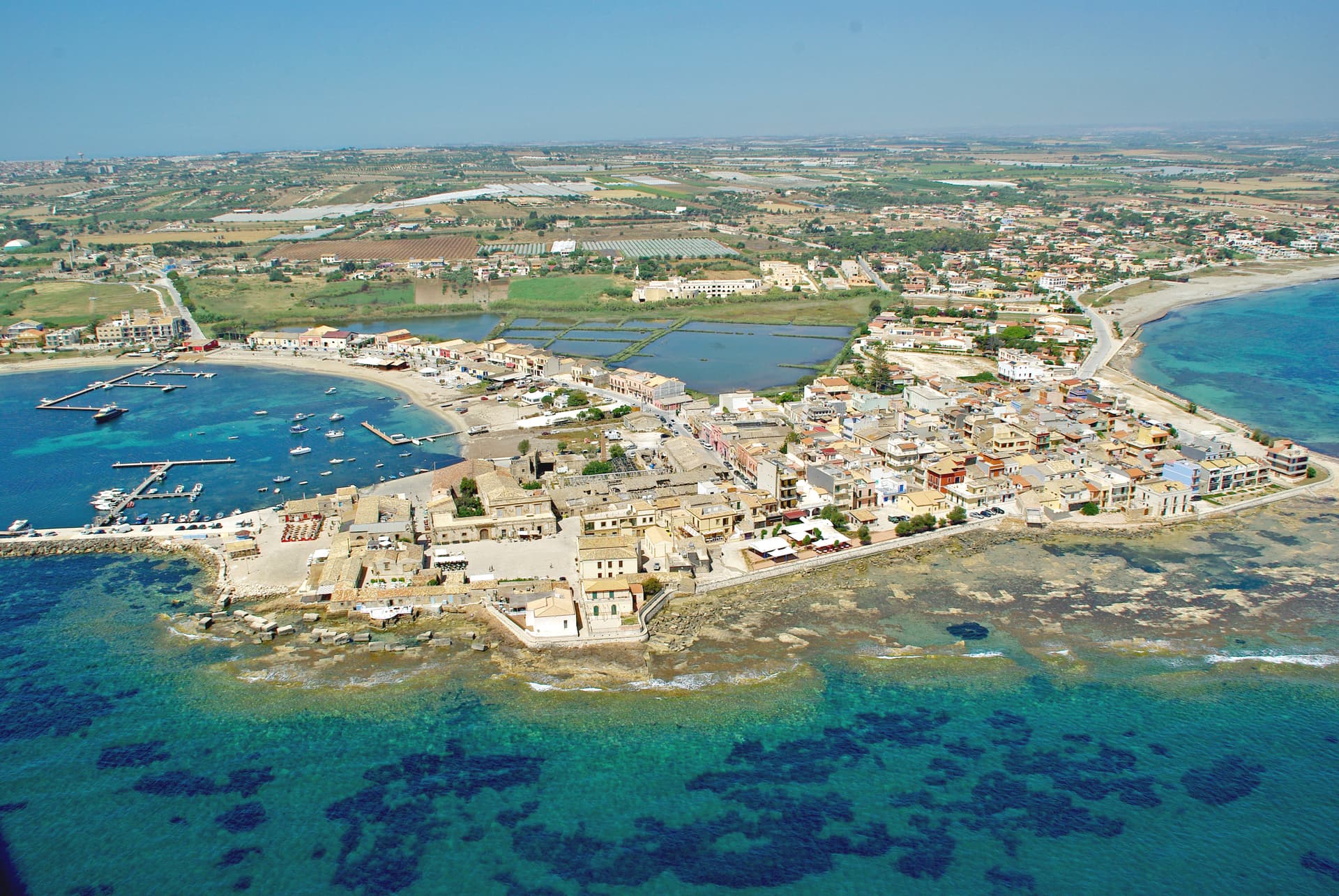
Pachino
Province: Siracusa · 65 m
Sicily's southernmost town on the Capo Passero promontory (further south than Tunis), home of the Pomodoro di Pachino PGI cherry tomato and the historic terroir for Nero d'Avola wine, with the Riserva Naturale Vendicari just up the coast.
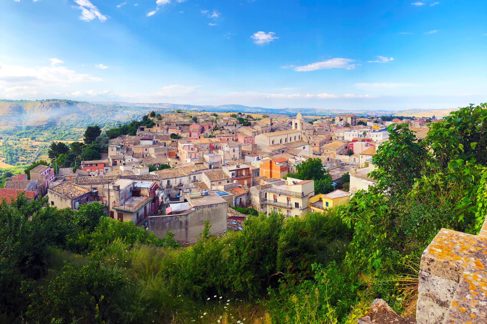
Palazzolo Acreide
Province: Siracusa · 670 m
The Iblei plateau's UNESCO Baroque + Greek twin — 8,000-resident hilltop town at 670m, founded over the Greek Akrai colony (664 BC), rebuilt entirely in late Baroque after the 1693 earthquake (inscribed on the Val di Noto UNESCO listing 2002), with the original Greek theatre + the unique Santoni rock carvings of Cybele just outside the modern centro.
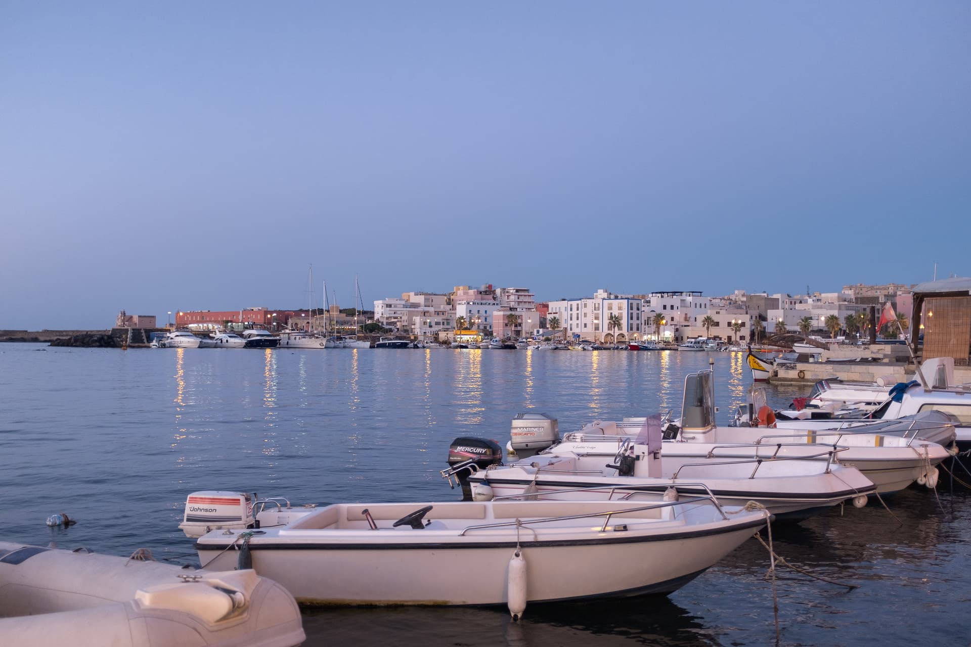
Pantelleria
Province: Trapani · 8 m
A volcanic island closer to Tunisia than Sicily, where dry-stone dammusi sit among bush-trained Zibibbo vines listed by UNESCO.
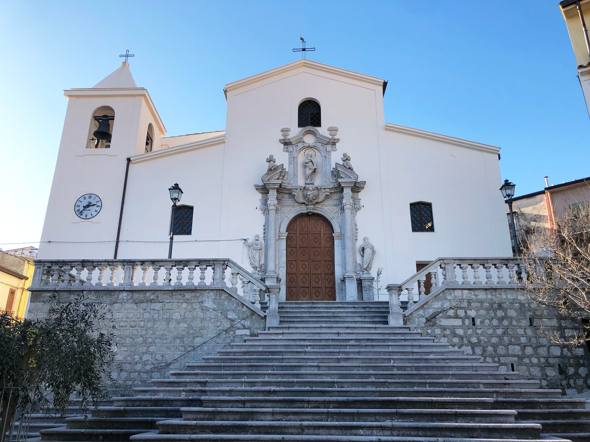
Piana degli Albanesi
Province: Palermo · 720 m
The principal Arbëresh town of Sicily at 720 meters, founded in the fifteenth century by Albanians fleeing the Ottomans and still speaking arbëresh.
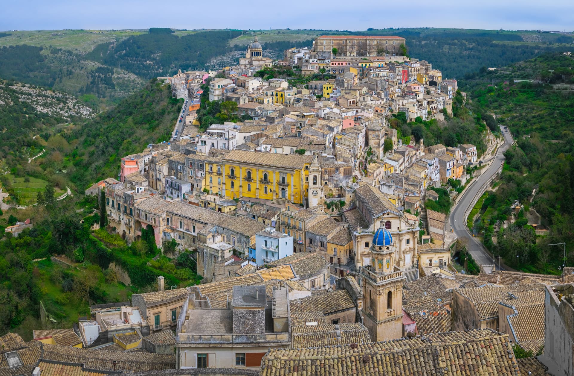
Ragusa
Province: Ragusa · 502 m
Two cities in one on a Hyblean plateau at 502 meters, Ragusa Ibla and Ragusa Superiore split by a ravine after 1693, both UNESCO Baroque.
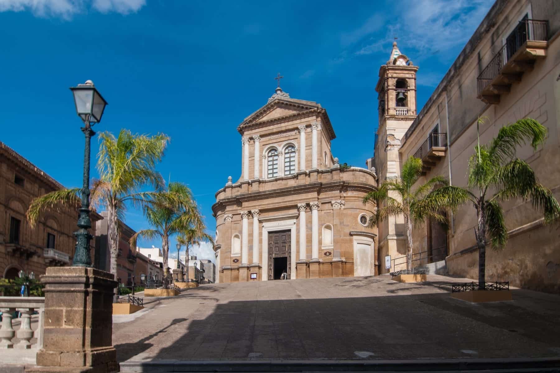
Sambuca di Sicilia
Province: Agrigento · 350 m
An Arab-founded hill town in the Belice valley, named Borgo dei Borghi in 2016, still called Zabut in living memory before 1923.
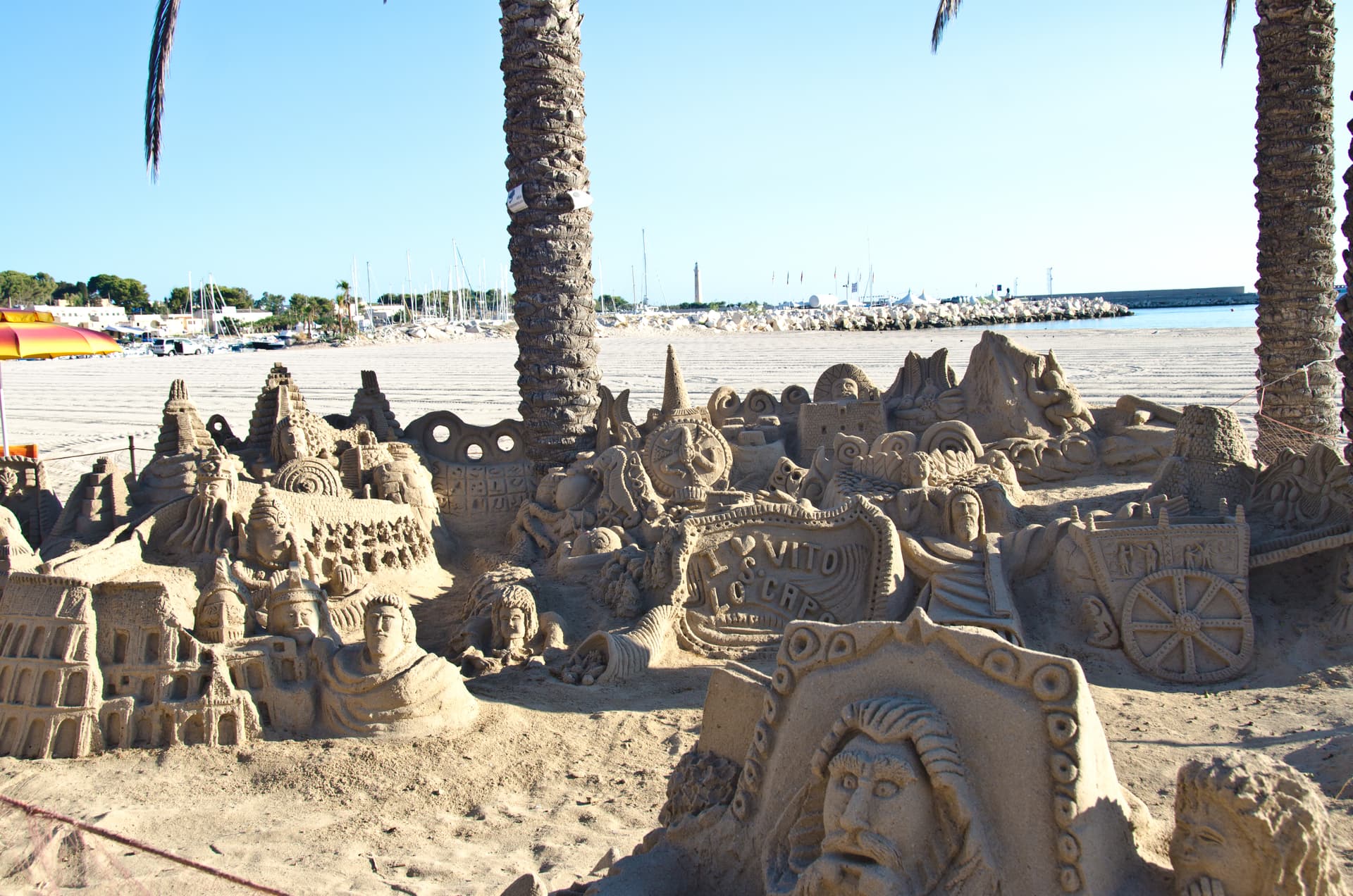
San Vito Lo Capo
Province: Trapani · 5 m
A three-kilometer white-sand beach under Monte Monaco at Sicily's northwest tip, the town that turned cous cous into a September festival.
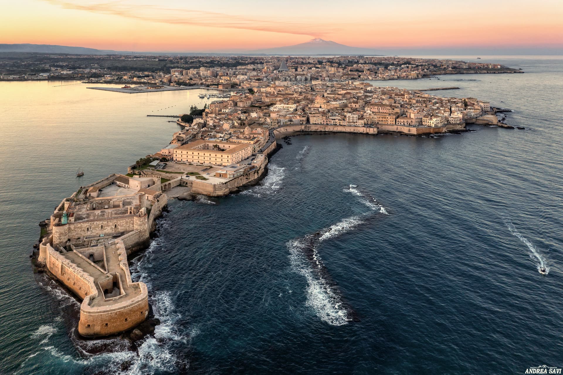
Siracusa
Province: Siracusa · 17 m
The 2,700-year-old Greek city Cicero called the most beautiful in the world — Ortigia island at its heart wrapped in honey-coloured Baroque stone, the 5th-century BC Greek theatre still in use every summer, and Catania's bigger UNESCO sister on the eastern Sicilian coast.
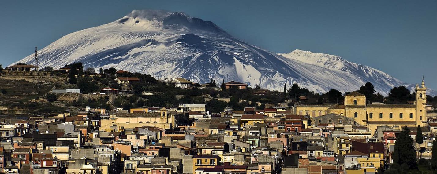
Sortino
Province: Siracusa · 438 m
The eastern gateway to UNESCO Pantalica at 438 meters in the Iblei, Sicily's city of honey and home of the stuffed Sortino pizzolo.
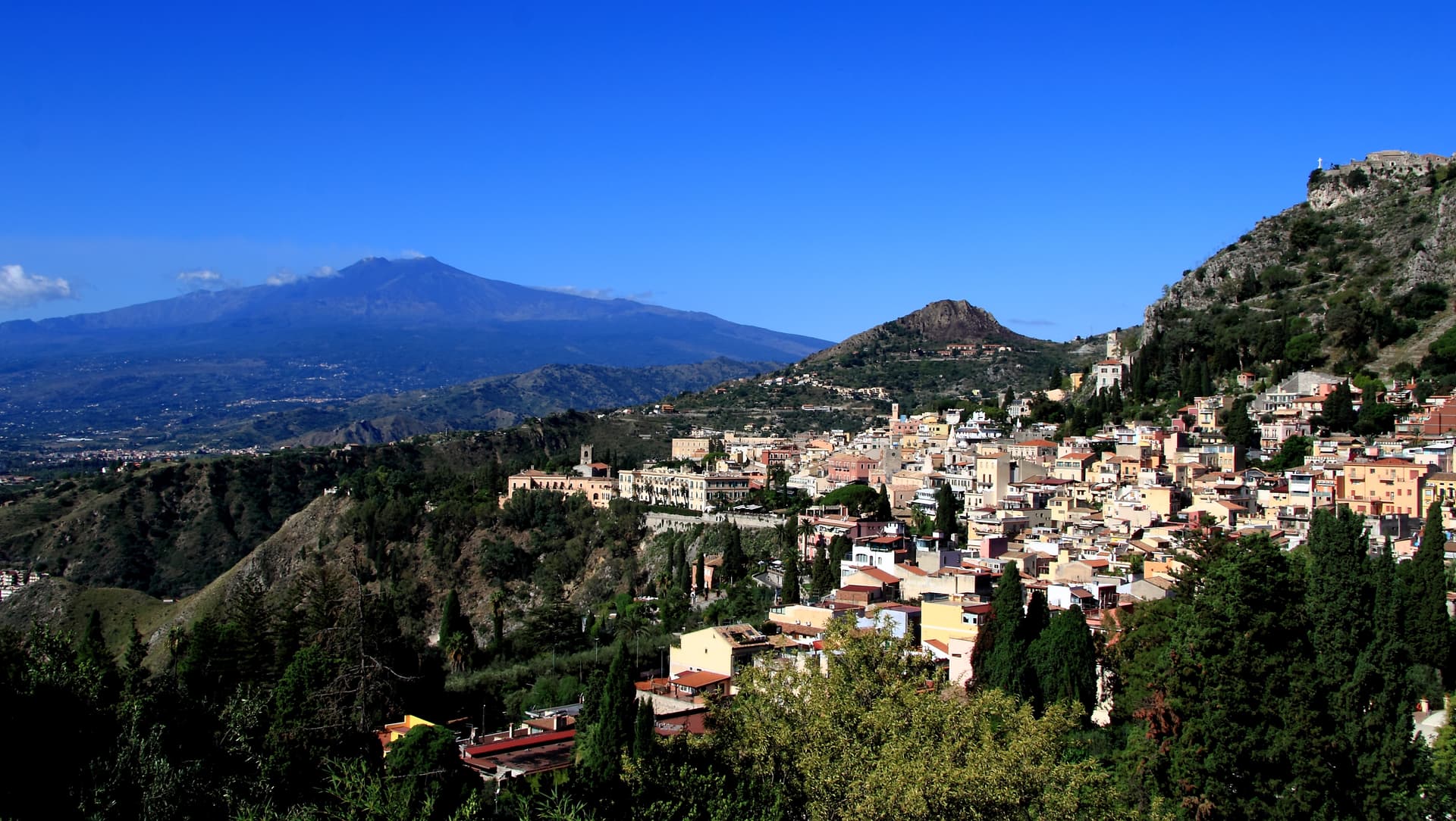
Taormina
Province: Messina · 204 m
A 204-meter terrace above the Ionian with Etna on the southern horizon, a Greek-Roman theatre carved into the rock since the third century BC.
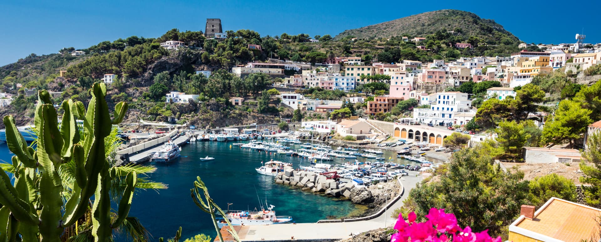
Ustica
Province: Palermo · 49 m
A volcanic island fifty-two kilometers north of Palermo with Italy's first marine protected area, lentil fields on lava, and a long memory as a prison.
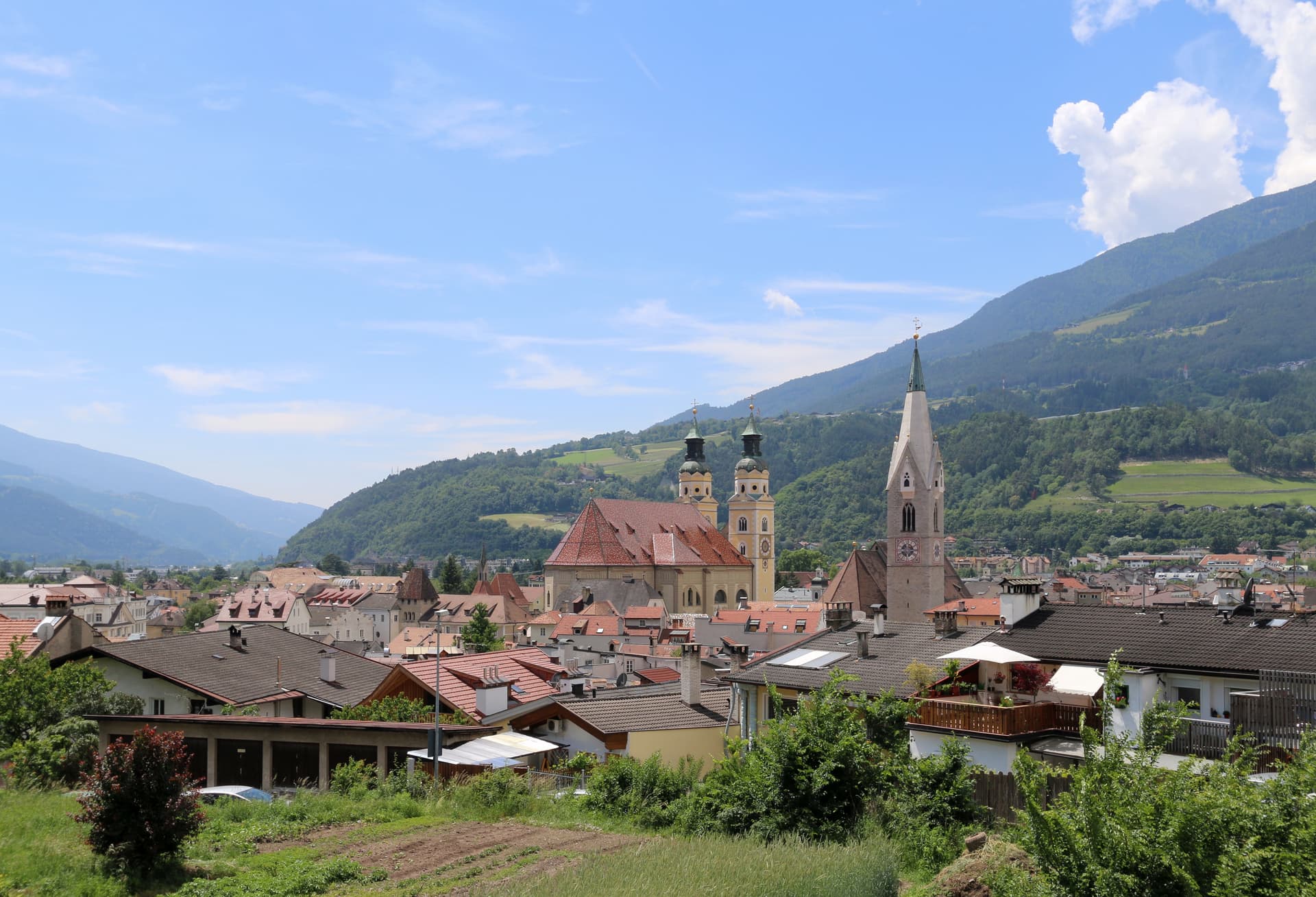
Trentino-Alto Adige/Südtirol1
Tuscany17
- ✷ We've been
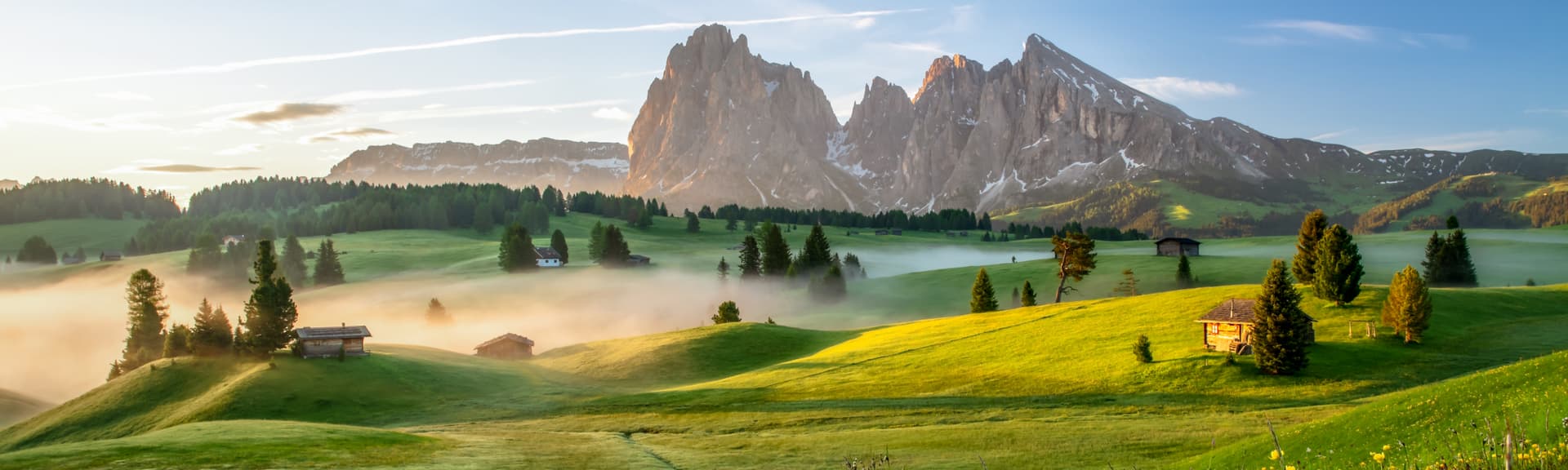
Abetone Cutigliano
Province: Pistoia · 1,388 m
The Apennine ski pass at 1,388 meters where the Granduca's two stone pyramids of 1778 mark the old Tuscan-Modenese border.
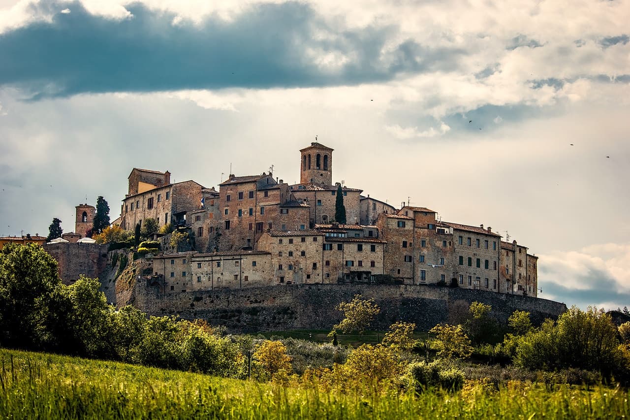
Anghiari
Province: Arezzo · 430 m
A walled medieval town at 430 meters over the upper Tiber valley, where Florence beat Milan in 1440 and Leonardo started the fresco he never finished.
- ✷ We've been
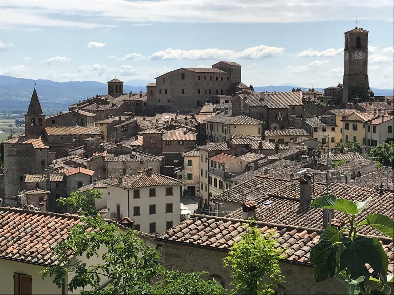
Arezzo
Province: Arezzo · 296 m
Tuscany's other set-piece — a 96,000-resident Etruscan-Roman-medieval hilltop city 80 km southeast of Florence, with Piero della Francesca's Leggenda della Vera Croce fresco cycle in San Francesco (1452–66), the sloped Piazza Grande set used by Roberto Benigni in Life is Beautiful, and the Fiera Antiquaria — Italy's largest monthly antique fair, running since 1968.
- ✷ We've been
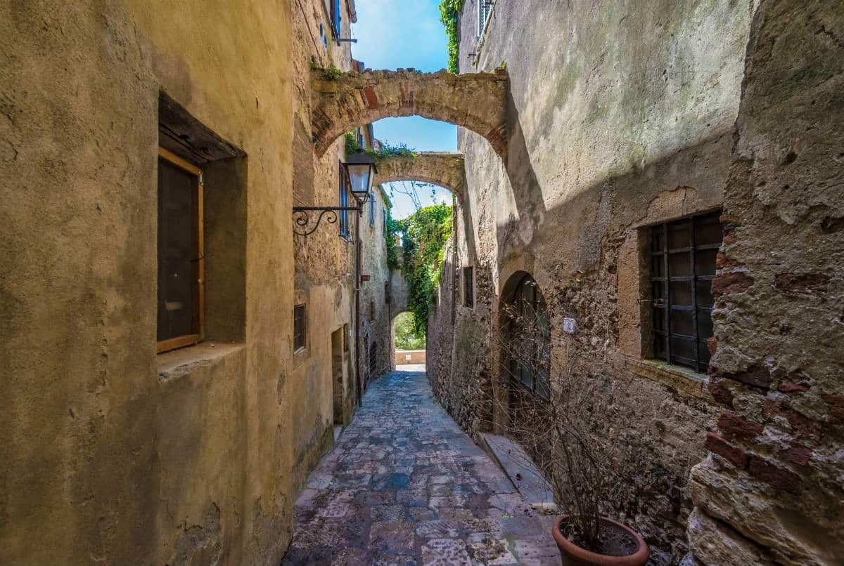
Capalbio
Province: Grosseto · 217 m
A walled hilltop borgo at 217 meters in the southern Maremma, donated to the Abbey of Tre Fontane by Charlemagne and home of Niki de Saint Phalle's Tarot Garden.
- ✷ We've been
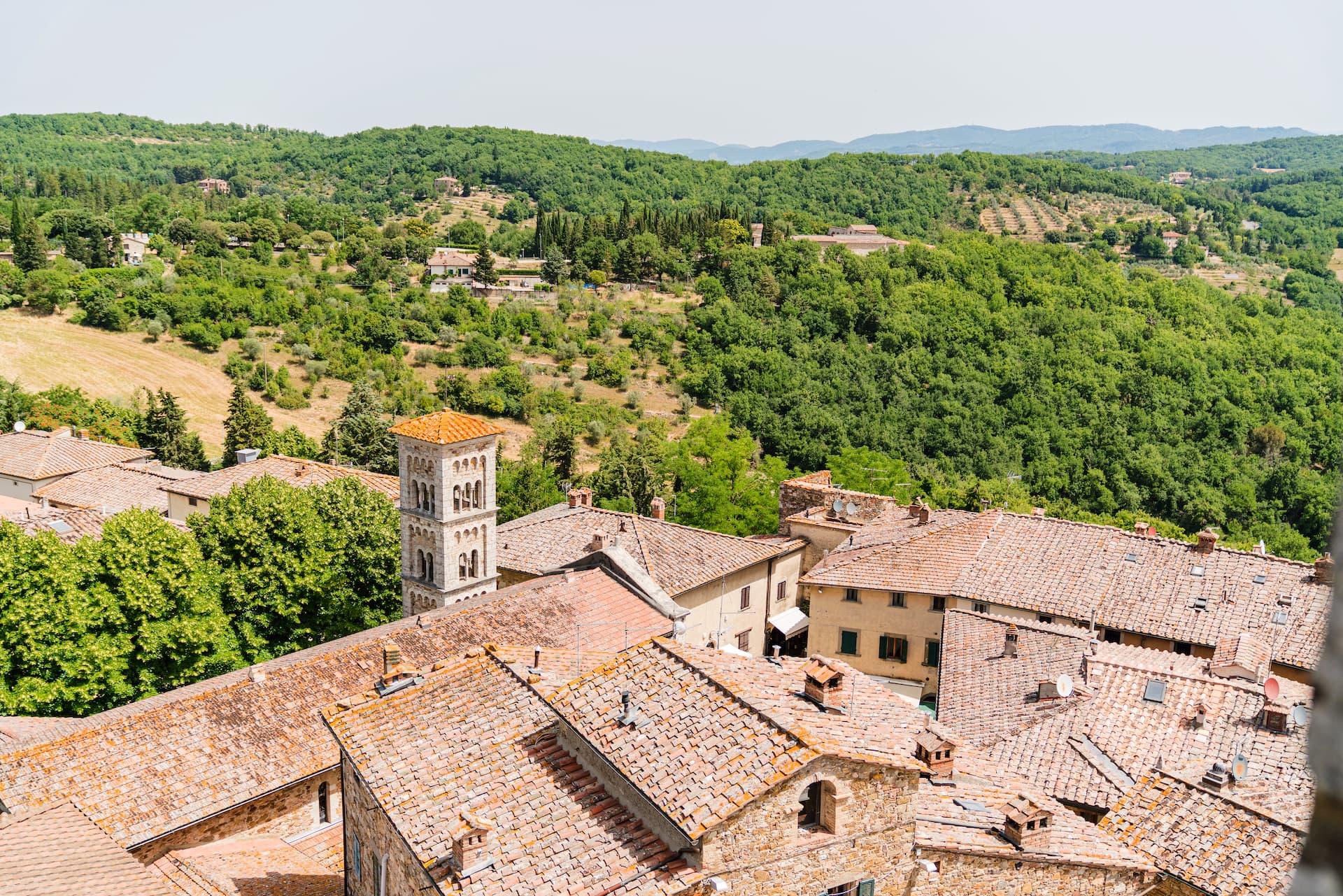
Castellina in Chianti
Province: Siena · 578 m
A Chianti hill town at 578 meters on the watershed between the Arno and the Ombrone, with an Etruscan tumulus, a Brunelleschi-reinforced wall and a covered medieval walkway around its edge.
- ✷ We've been
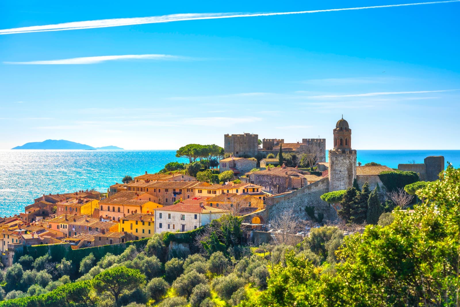
Castiglione della Pescaia
Province: Grosseto · 4 m
A Maremma seaside town under an Aragonese castle, with the Vetulonia necropolis behind it, the Diaccia Botrona wetland beside it, and Italo Calvino buried on the hill.
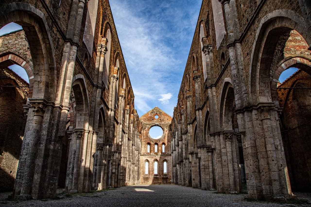
Chiusdino
Province: Siena · 564 m
A medieval village at 564 meters in the Val di Merse where Galgano Guidotti plunged his sword into a rock in 1180 and the roofless Cistercian abbey grew up below.
- ✷ We've been
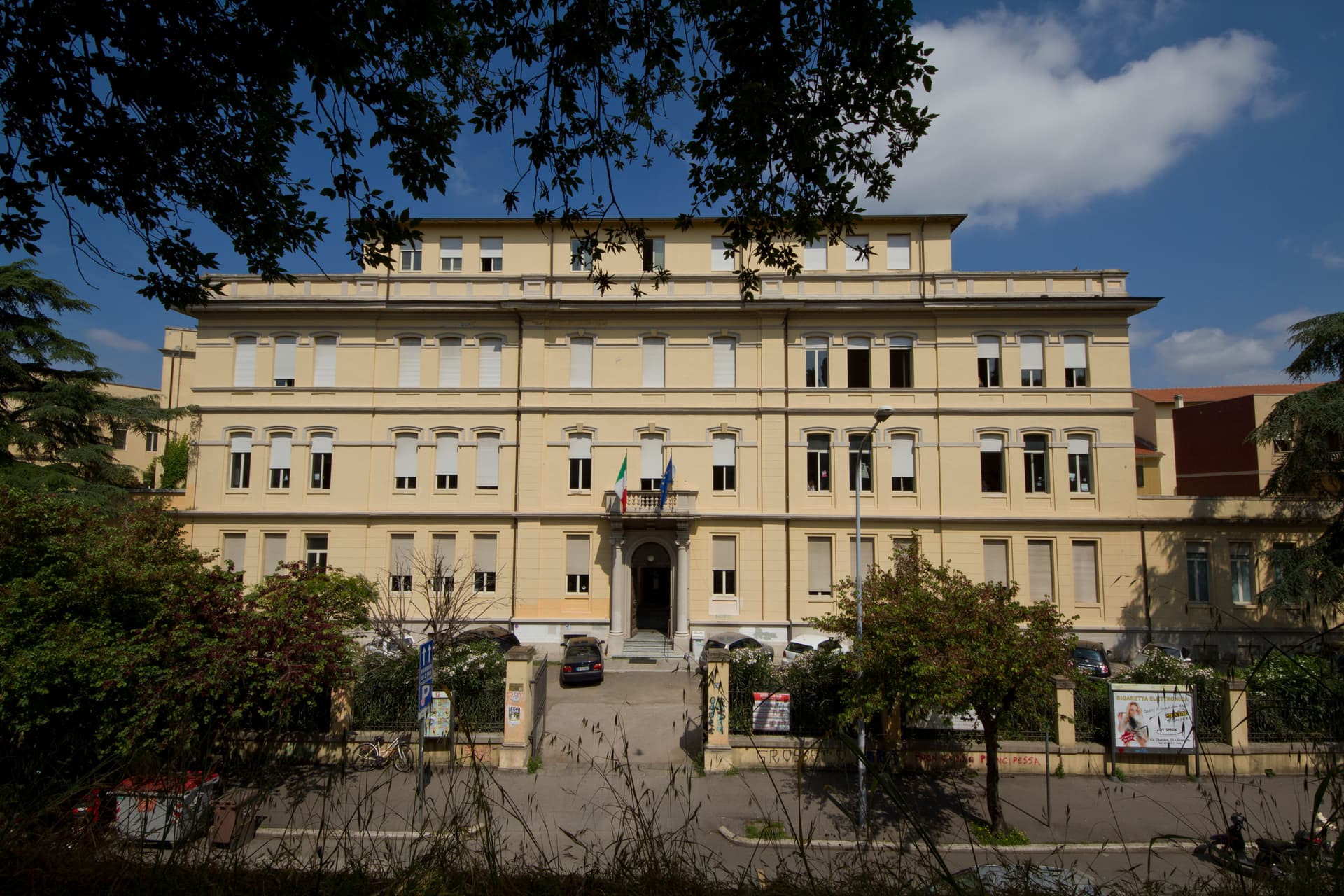
Grosseto
Province: Grosseto · 10 m
The Maremma capital on the Ombrone river, ringed by hexagonal Medici walls of 1564 that now serve as the city's public park.
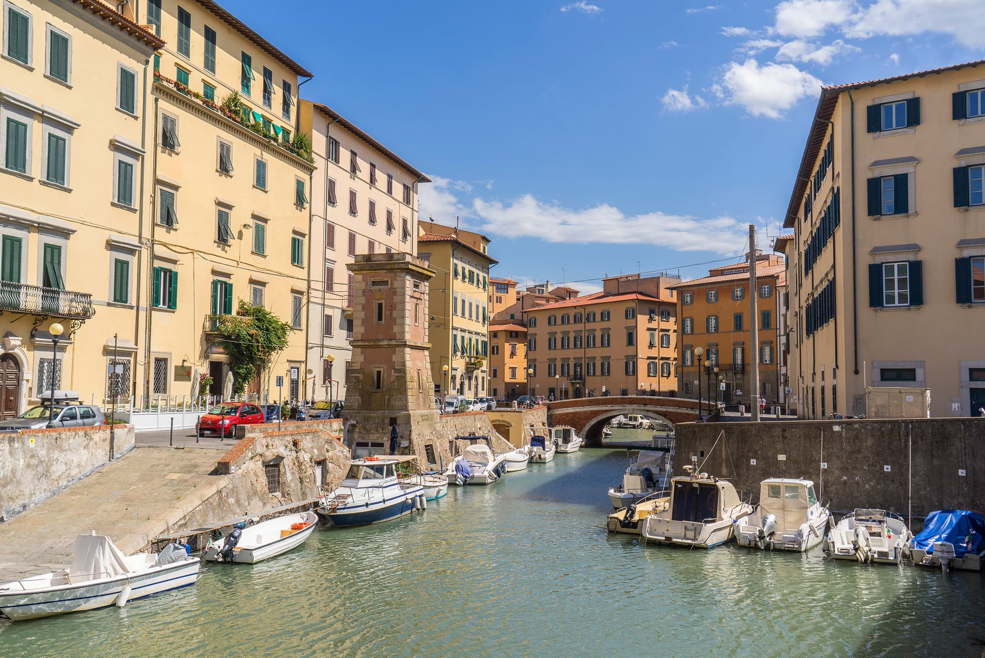
Livorno
Province: Livorno · 3 m
Tuscany's working port and Medici-planned 'New City' — a 16th-century planned town built on reclaimed coast, with a Venice-like canal quarter, the Quattro Mori monument, and a 1.5-km seafront promenade that locals call the world's most beautiful balcony.
- ✷ We've been
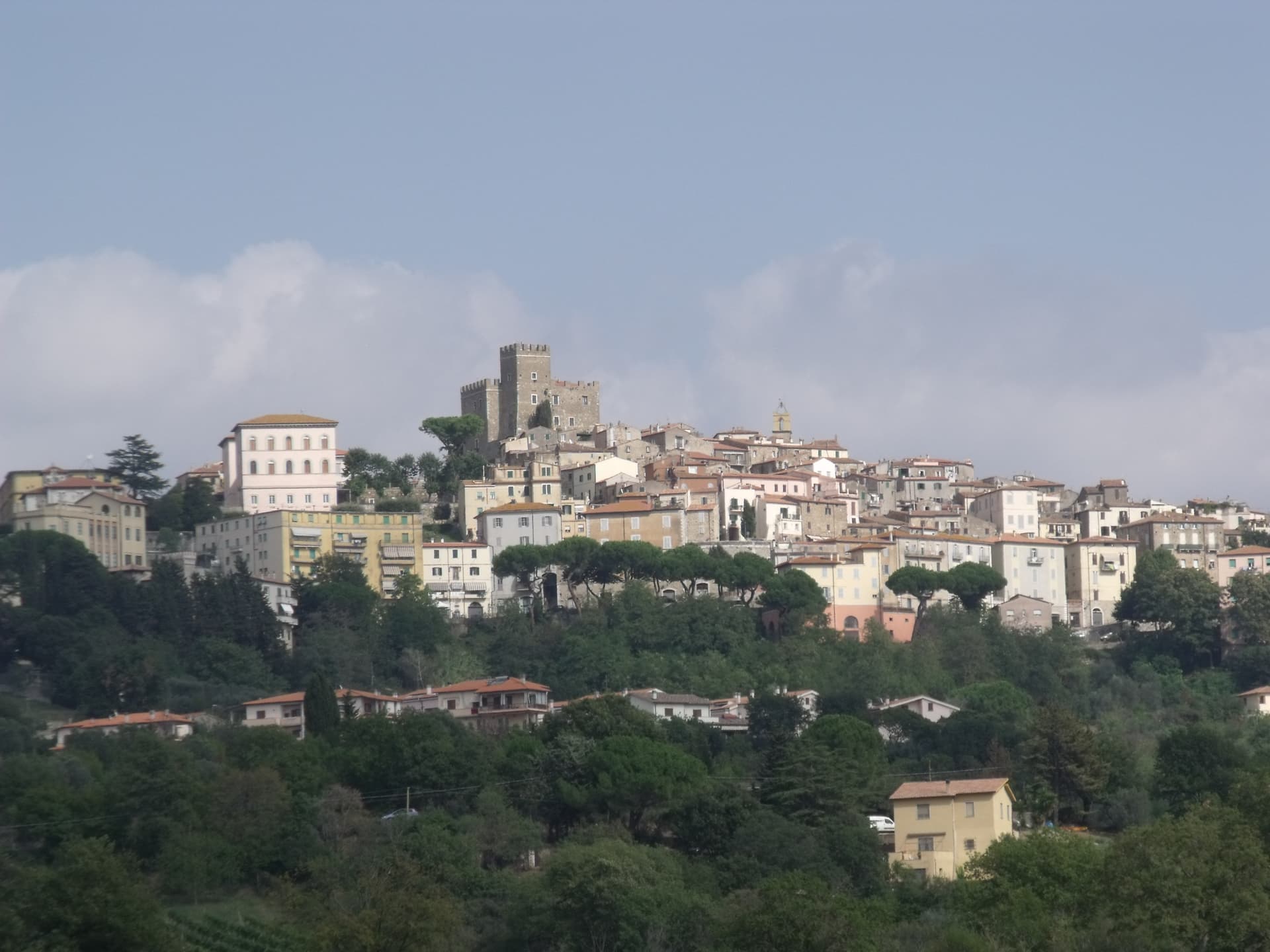
Manciano
Province: Grosseto · 444 m
A market town at 444 meters in the southern Maremma, with a Sienese fortress of 1424 and the thermal frazione of Saturnia in its territory.
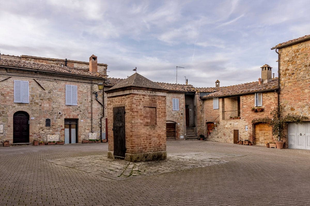
Murlo
Province: Siena · 314 m
A medieval bishops' fief twenty kilometers south of Siena, with an Etruscan princely palace on Poggio Civitate and the Cappellone statue as its symbol.
- ✷ We've been
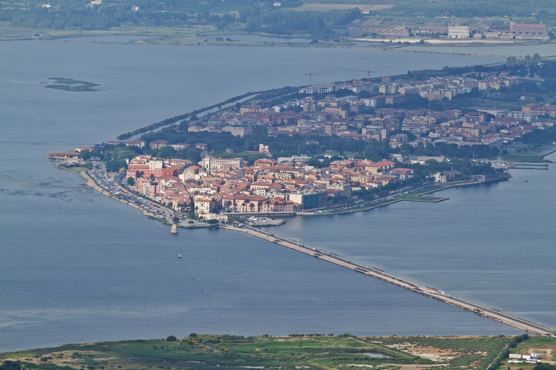
Orbetello
Province: Grosseto · 3 m
A town on a narrow isthmus at the center of its own lagoon, fortified by Spain in 1557 and tied to Monte Argentario by two tombolos.
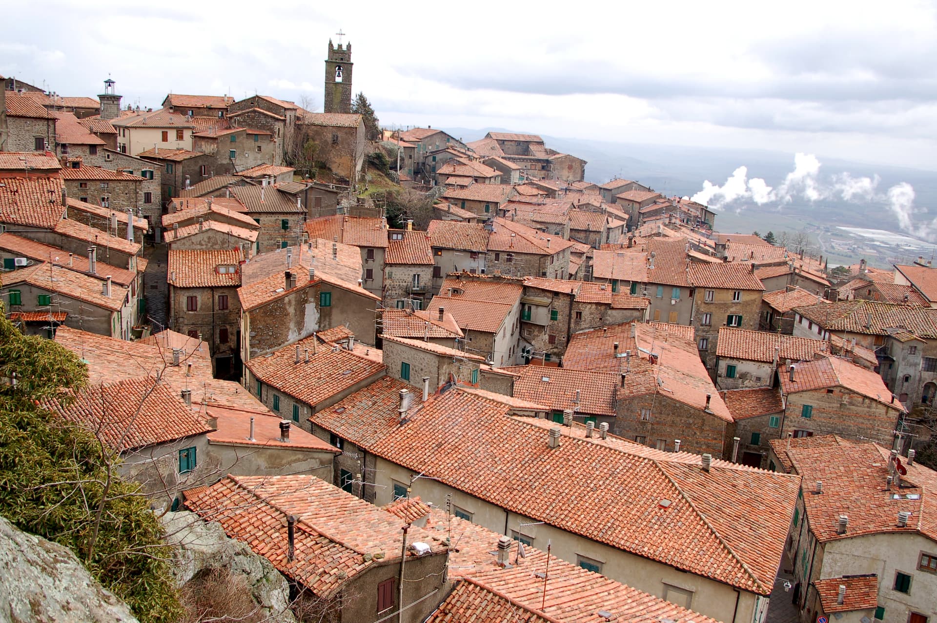
Piancastagnaio
Province: Siena · 772 m
A chestnut-belt borgo at 772 meters on the southern slope of Monte Amiata, where four contrade still race for the Palio delle Contrade each August.
- ✷ We've been
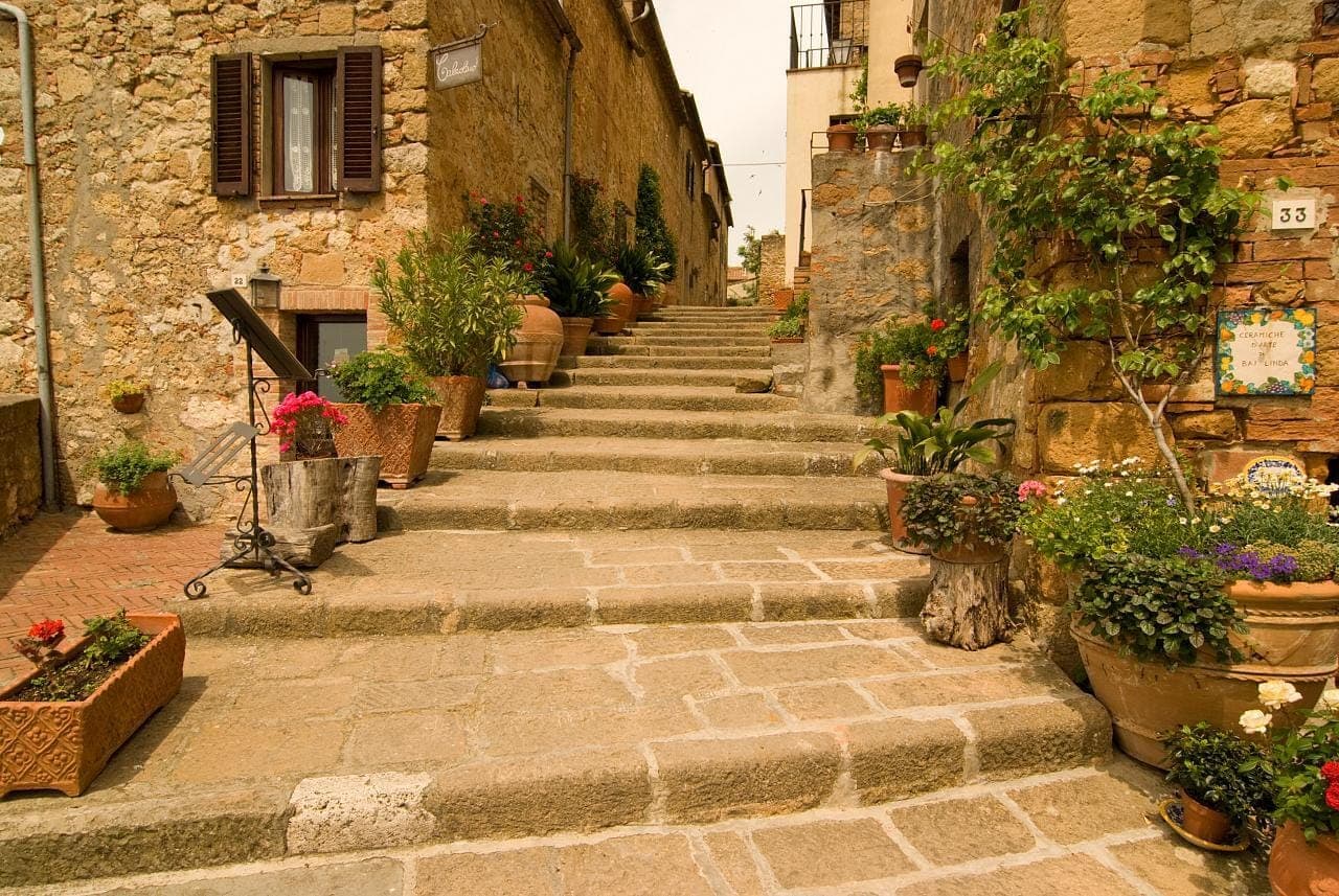
Pienza
Province: Siena · 491 m
The first Renaissance ideal city, built from 1459 by Bernardo Rossellino for Pope Pius II on the Val d'Orcia ridge.
- ✷ We've been
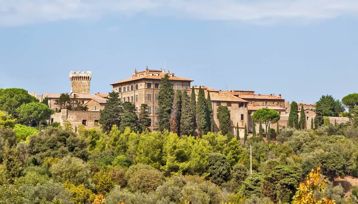
Piombino
Province: Livorno · 21 m
A promontory port facing Elba across the channel, founded by refugees from Etruscan Populonia and now the Tuscan archipelago's ferry capital.
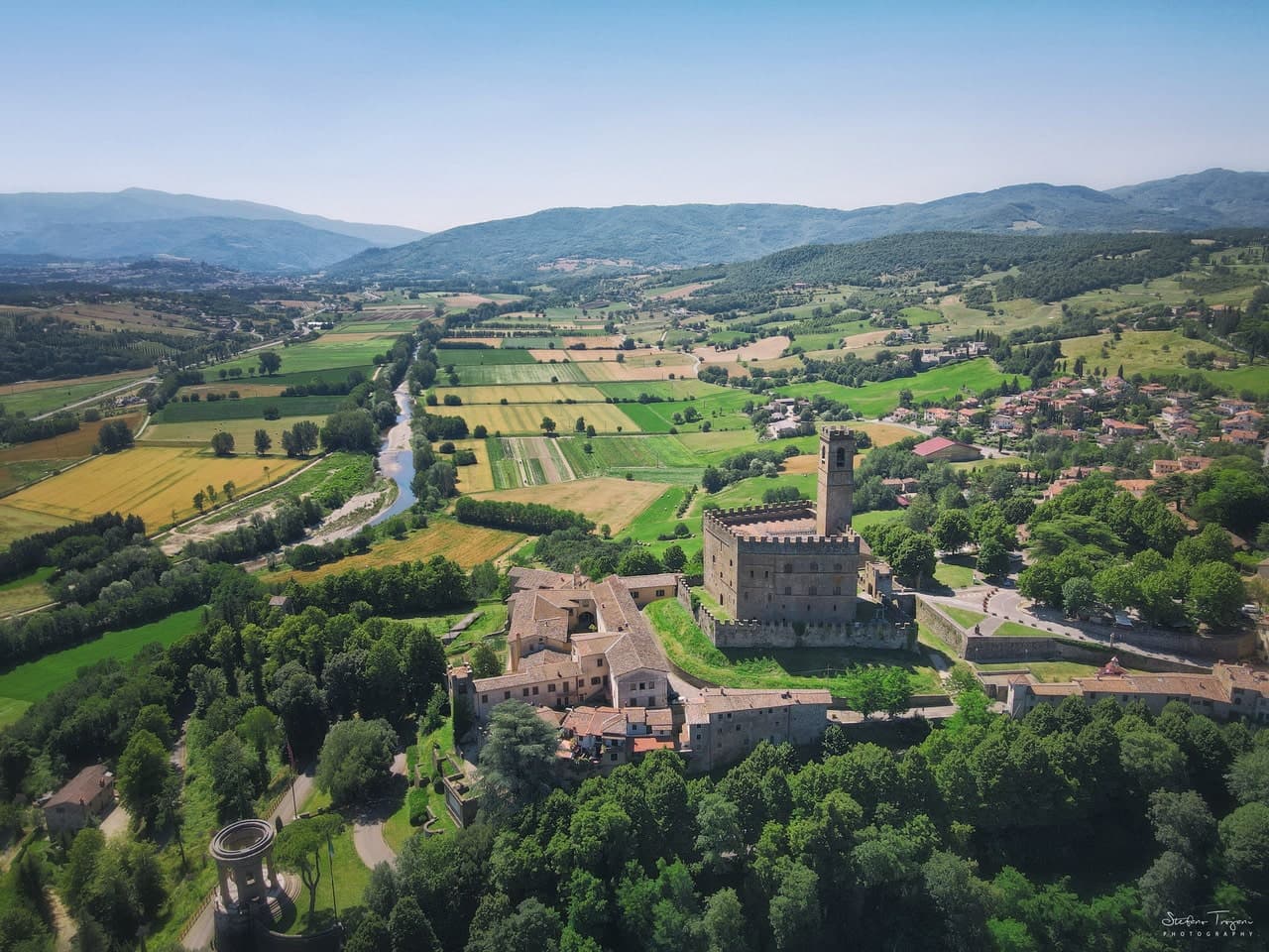
Poppi
Province: Arezzo · 437 m
The Casentino borgo at 437 meters whose castle sat above the field where Dante fought the Battle of Campaldino in June 1289.
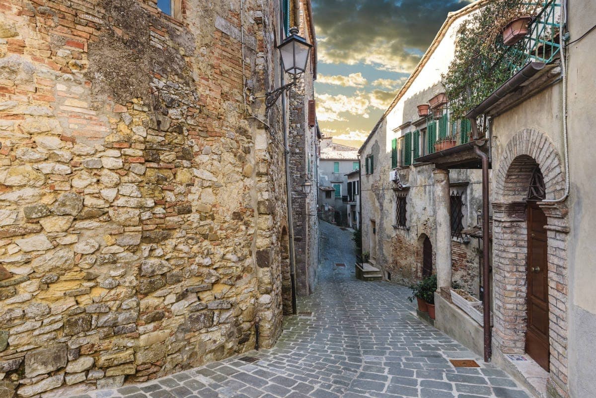
San Casciano dei Bagni
Province: Siena · 582 m
A hilltop borgo at 582 meters above 42 hot springs that produced the largest Etruscan bronze hoard of the last fifty years.
Veneto4
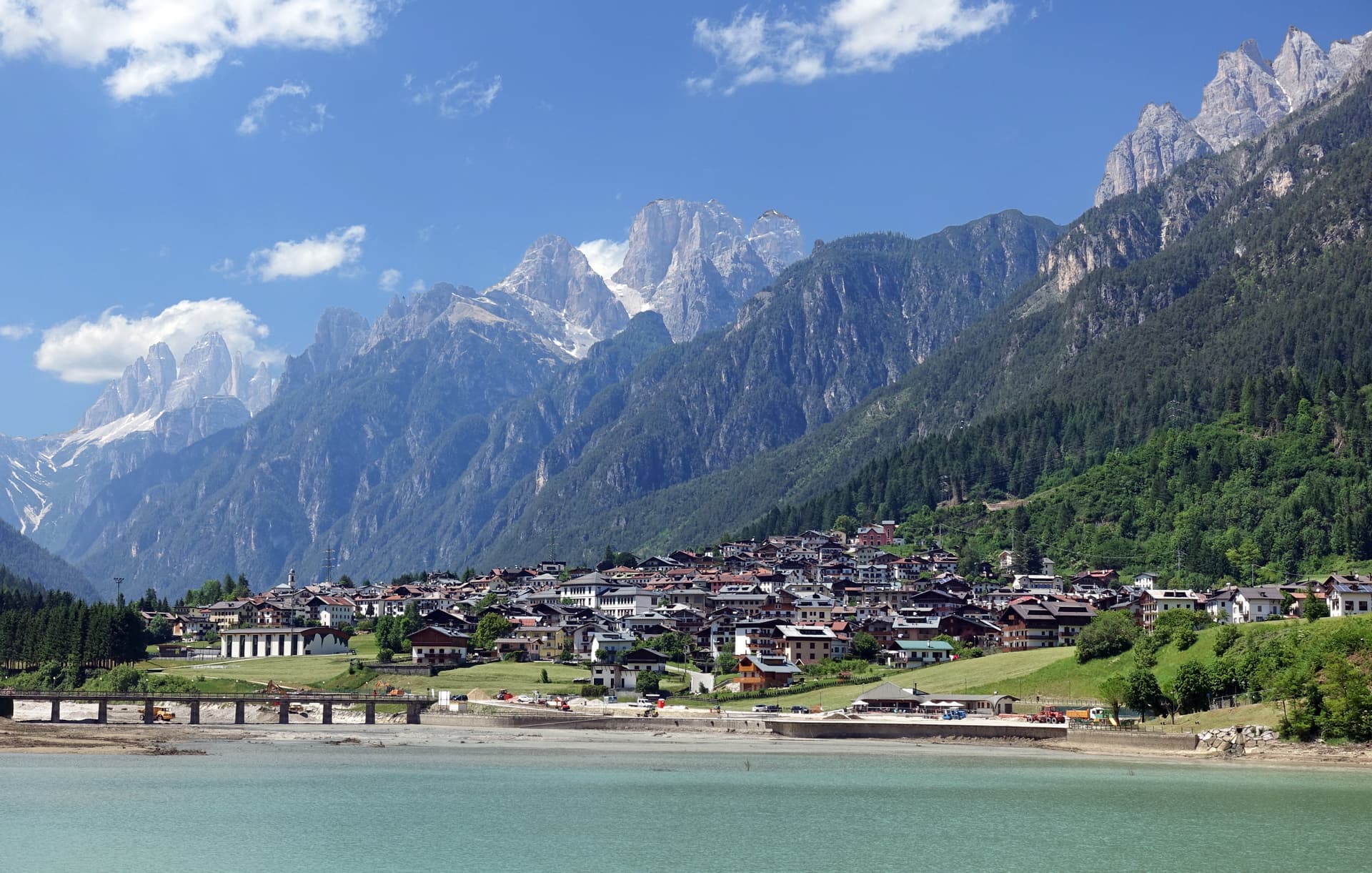
Auronzo di Cadore
Province: Belluno · 864 m
A five-kilometer ribbon town along an artificial lake at 864 meters, the gateway to the Tre Cime di Lavaredo and Lake Misurina.
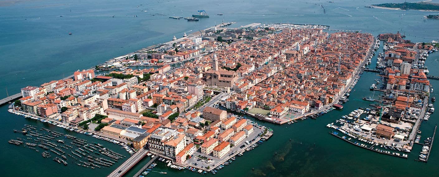
Chioggia
Province: Venezia · 2 m
Italy's second fishing port, on an island at the south end of the Venetian Lagoon, called Little Venice for the Canale Vena.
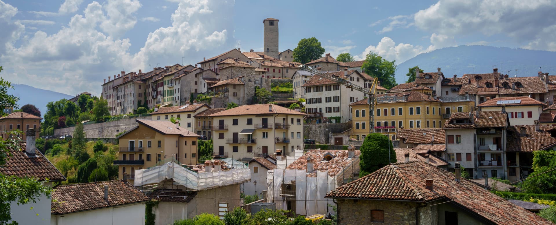
Feltre
Province: Belluno · 325 m
A Renaissance city at 325 meters in the Belluno Prealps, sacked in 1510 by Habsburg troops and rebuilt as the vertical village it remains.
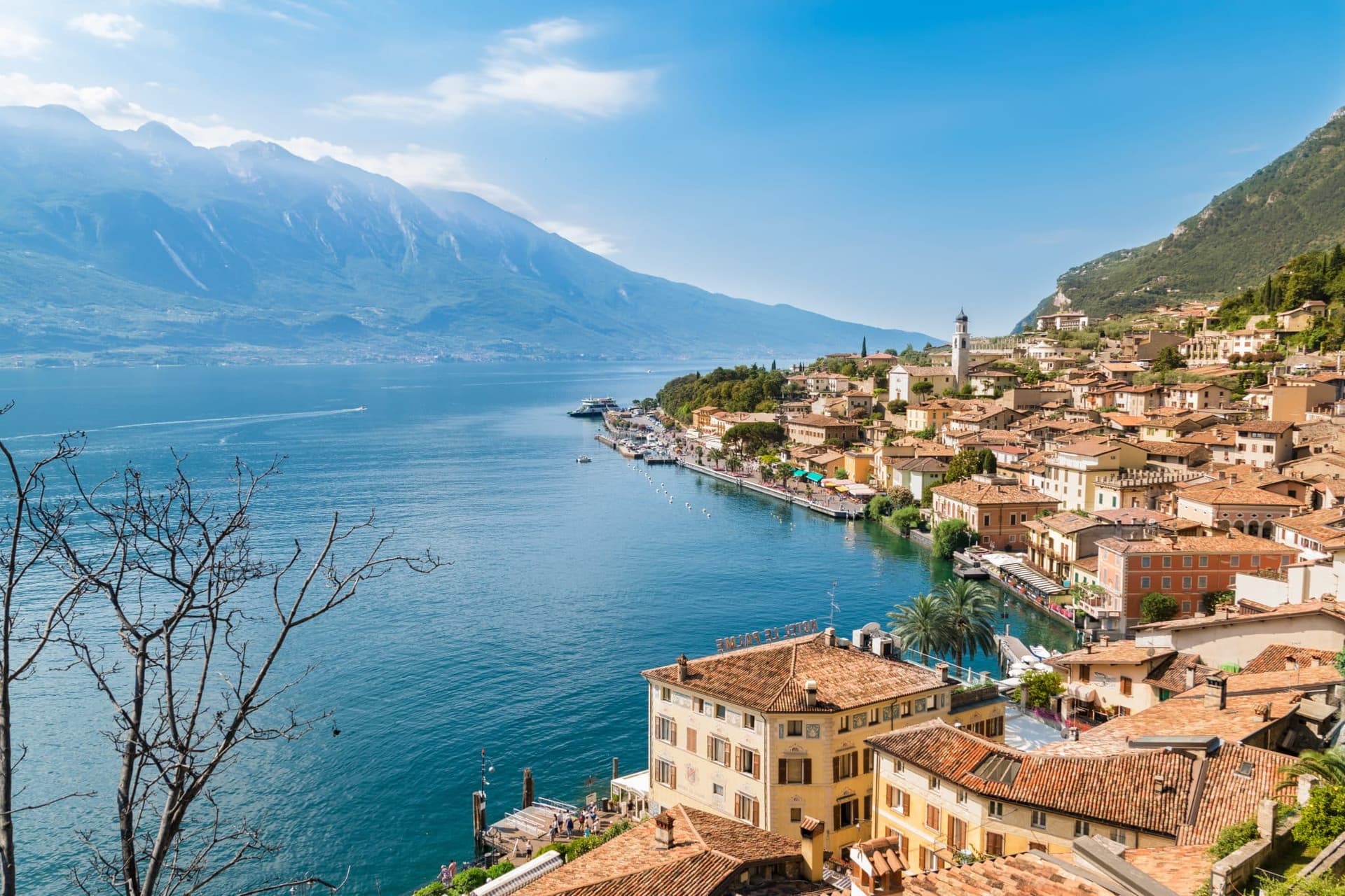
Malcesine
Province: Verona · 89 m
The northernmost Veneto town on Lake Garda, where Goethe was nearly arrested for sketching the Castello Scaligero in September 1786.
Subscribe — free
Get the best guides on hidden Italian towns.
One letter on Sundays. The week’s town, with the photo, the food, the festa. Free, by Peter & Sophia from Pietrasanta.
Substack sends a confirmation link to your inbox. The signup finishes when it’s clicked.
From elsewhere in Italy
Five more towns to discover
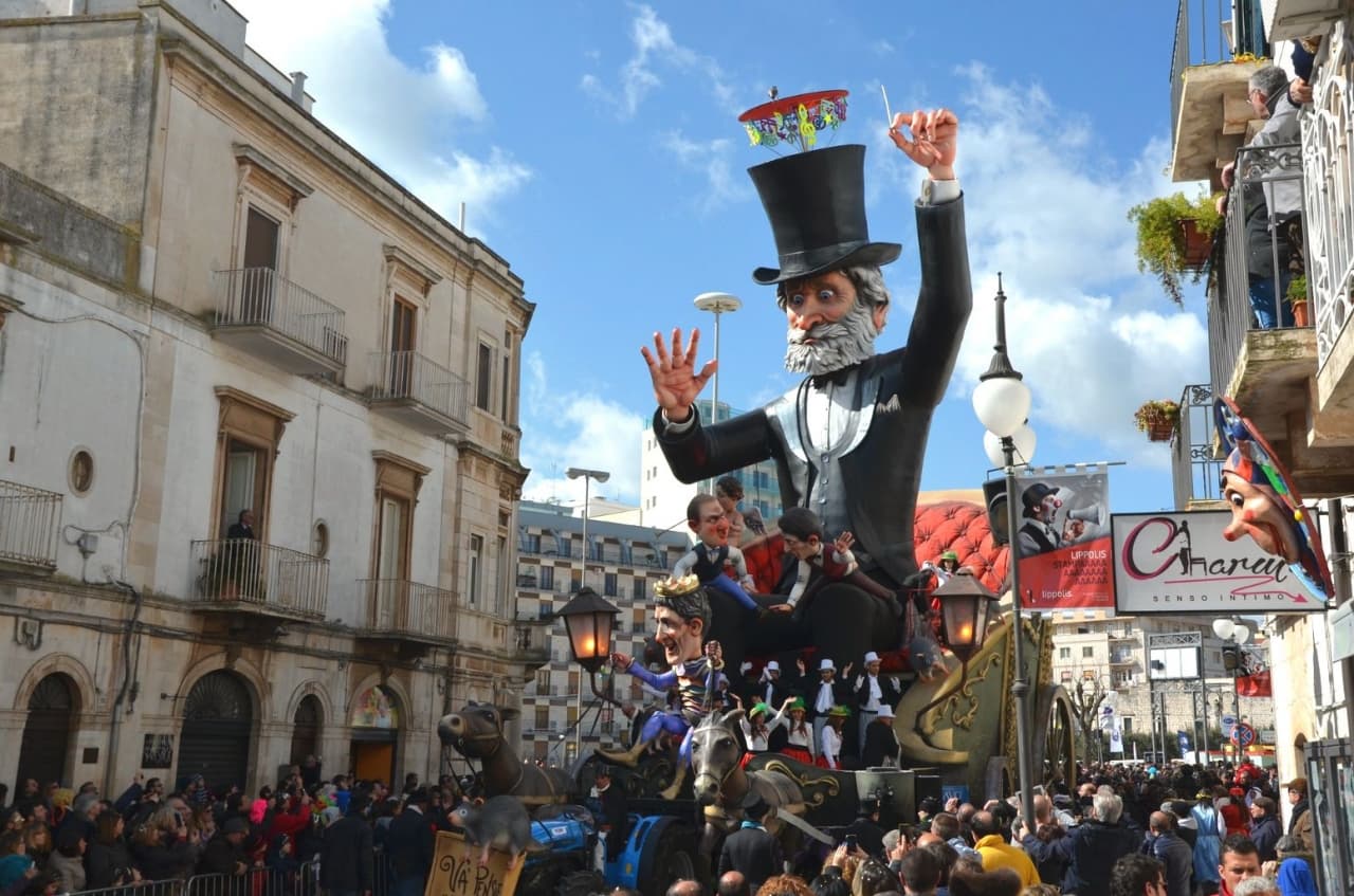
Putignano
Province: Bari
Europe's longest-running carnival — Putignano Carnevale has run continuously since 1394, with 631 years of cartapesta papier-mâché floats, a 26,000-resident Murgia town on the Bari–Lecce plateau, and the Grotta del Trullo karst cave inside the centro.

Pistoia
Province: Pistoia
Italy's nursery capital and the medieval Tuscan rival that gave its name to the pistol — a quietly extraordinary centro storico of zebra-striped Romanesque churches, Andrea della Robbia's polychrome frieze on the Ospedale del Ceppo, and Italy's Capital of Culture 2017, all 30 minutes from Florence by train.
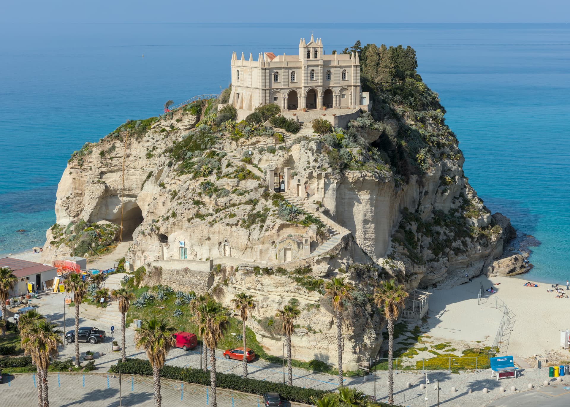
Tropea
Province: Vibo Valentia
Cliff town on a tufa headland over the Tyrrhenian Coast of the Gods, with a Norman monastery on a sea rock.
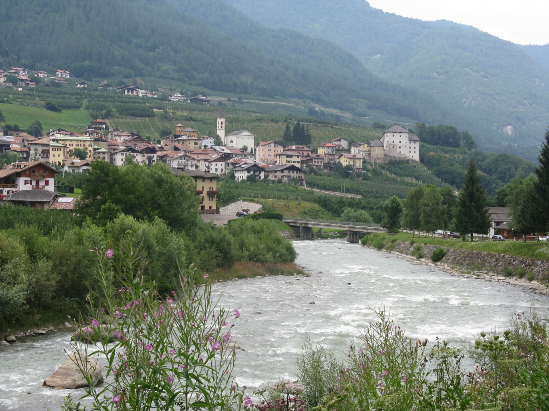
Caldes
Province: Trento
A scattered Val di Sole commune on the Noce, six hamlets gathered around a thirteenth-century tower-house castle that once belonged to the Thun family.
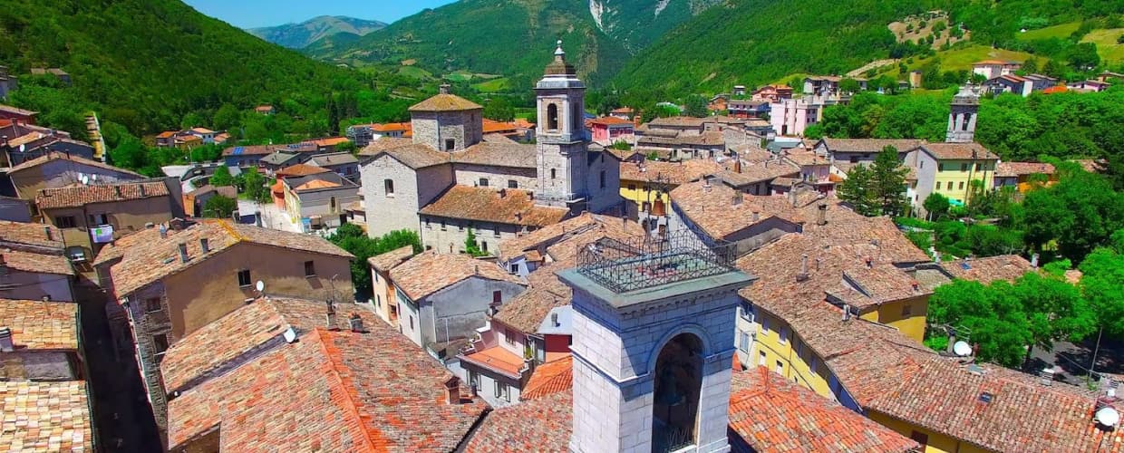
Cantiano
Province: Pesaro e Urbino
A border borgo at 374 meters under Monte Catria on the old Via Flaminia, known for the Good Friday Turba and the sour-cherry visciola harvest.