
Friuli-Venezia Giulia · Gorizia
Grado
An Adriatic island town inside a 90-square-kilometer lagoon, refuge of the Aquileian patriarchs after 568 and a Habsburg bathing resort thirteen centuries later.
Known for
NEW AQUILEIA
Refuge of the Patriarchate of Aquileia from the Lombard invasion of 568, capital of the Aquileian patriarchs until the seat moved to Venice in 1105.
HABSBURG SEASIDE
Bathing resort developed under the Austrian Empire in the nineteenth century, the imperial Adriatic alternative to Abbazia and Lussinpiccolo.
LAGUNA
90-square-kilometer Marano-Grado lagoon of sandbanks, reeds, and thatched casoni, still worked by lagoon fishermen using traditional flat-bottomed boats.
When to visit
Best · May–Sep
- J
- F
- M
- A
- M
- J
- J
- A
- S
- O
- N
- D
- Best
- Hot or crowded
- Quiet
- Mostly closed
The festa: Ermagora e Fortunato, 12 July
Why come
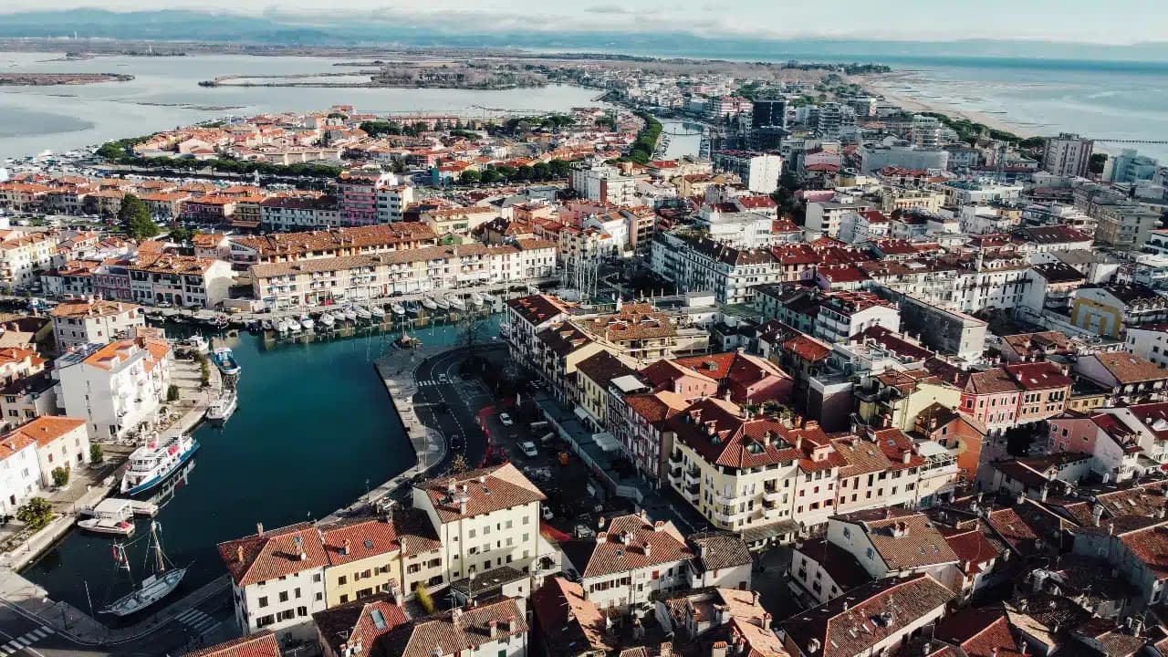
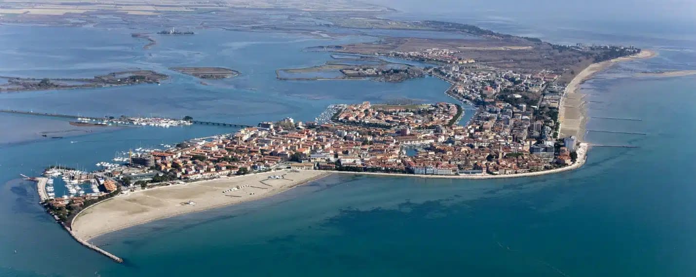
Grado is an island town in the Marano-Grado Lagoon, between Venice and Trieste, on a 90-square-kilometer mosaic of shallow water, sandbanks, and reedbeds. When the Lombards took Aquileia in 568, the metropolitan fled here; the Aquileian see was transferred to Grado in 579 and the town became known as New Aquileia. Bishop Elia consecrated the Basilica of Sant'Eufemia on November 3, 579, on the patriarchal square.
The patriarchate moved to Venice in 1105 and was formally suppressed in 1451, but Grado kept the basilica, the sixth-century baptistery, and the lapidarium. The town became Italian seaside in the Habsburg sense in the nineteenth century, when Empress Sissi's circle gave it the imperial bathing certification; the long sandy beaches and lagoon climate did the rest. Today it carries the Bandiera Blu and is the only Italian Adriatic resort that opens directly south, with full-day sun. The casoni, thatched fishermen's huts on the lagoon islets, are still in use.
The Sunday letter
We haven’t written Grado’s letter yet.
One town every Sunday, with the photo, the food, the festa. Be there when this one comes up. Free, by Peter & Sophia from Pietrasanta.
By subscribing you agree to Substack’s Terms of Use, our Privacy Policy and our Information collection notice.
What to see
Basilica di Sant'Eufemia
Sixth-century basilica consecrated in 579 by Patriarch Elia, with original mosaic floor, lapidarium, and the suppressed patriarchal cathedra of Grado.
Battistero di Sant'Eufemia
Hexagonal sixth-century baptistery next to the basilica, with octagonal immersion font and the oldest preserved liturgical architecture in the lagoon.
Basilica di Santa Maria delle Grazie
Fifth- to sixth-century three-nave basilica on the patriarchal square, with original mosaic flooring and remains of the earlier early-Christian structure.
Spiaggia di Grado
Long fine-sand beach south of the centro storico, the only Italian Adriatic beach with full southern exposure, holder of the Bandiera Blu mark.
Laguna di Grado
90-square-kilometer lagoon between the Isonzo mouth and the Adriatic, dotted with thatched casoni and the Riserva Naturale della Valle Cavanata.
Centro storico (Castrum)
Compact island core of narrow calli and small piazzas around the patriarchal square, walled remains of the original late-antique Castrum still readable.
The slow-trip planner
Building a trip? Find where Grado fits in a slow Italy circuit.
Answer five questions. We will shape a geographically coherent slow trip from the 1,000 Italian towns most travelers skip. Yours to save and share.
Living here
- Population 7,658
- Commuter belti
- Pharmacy in town
- High school within a 30-minute drive
- Nearest airport Venice, 1 h 39 min drive
- Regional capital Trieste, 1 h 0 min drive
Thermal baths in town: Terme Marine.
Tags & datadesignations · numbers · sources
Recognised as
The numbers
- Elevation: 2 m
- Population: 7,658
- Surface area: 111.33 km²
These figures were compiled from public directories — ISTAT, OpenStreetMap, Wikidata — and from the official listings of the guides named on this page. Town details change; verify with official sources before you travel.
Close by
More towns near Grado
Aquileia
Province: Udine
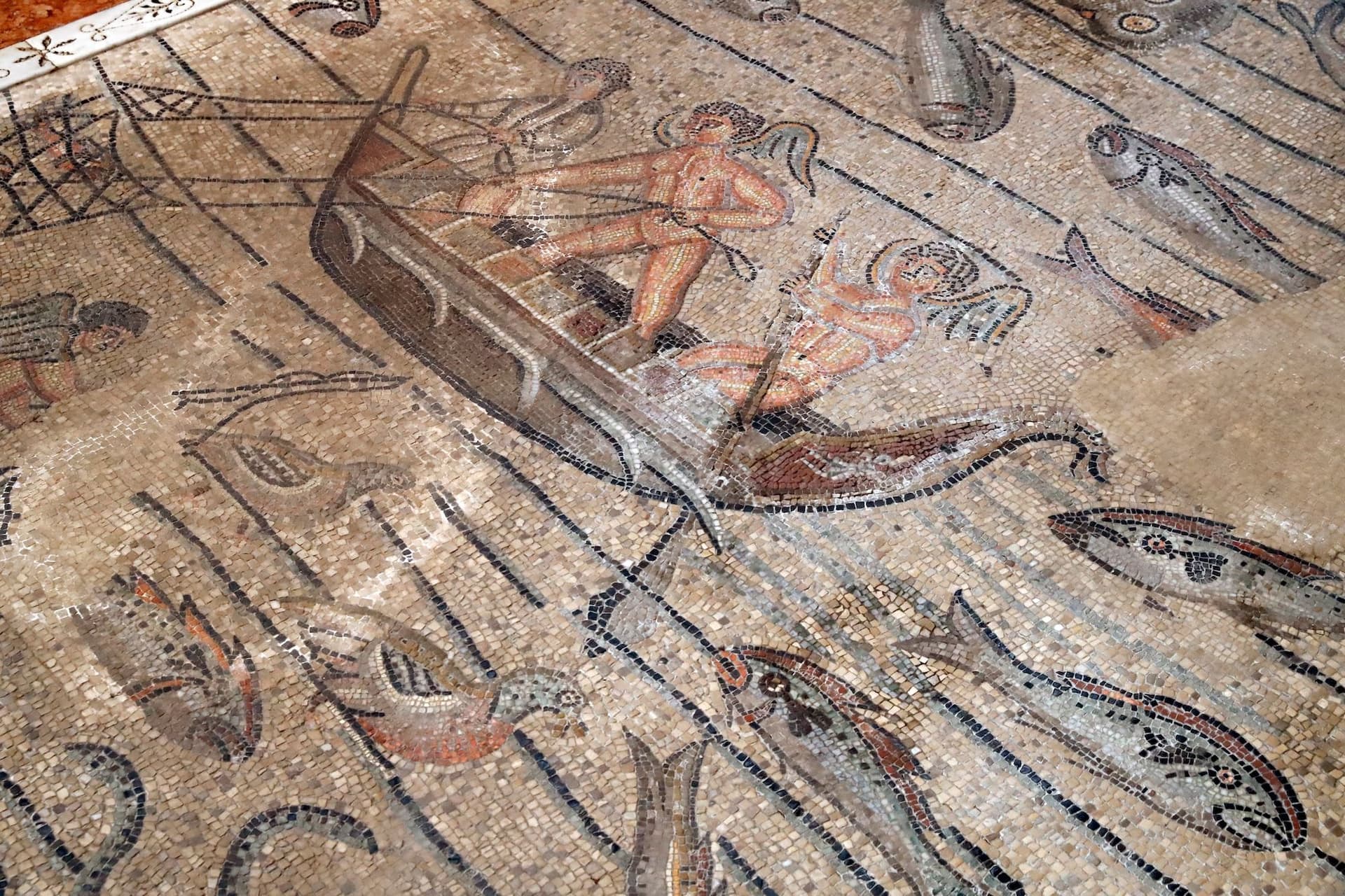
A village of 3,128 on a Roman capital of 100,000, where the largest paleochristian mosaic floor in the West runs under a Romanesque basilica.
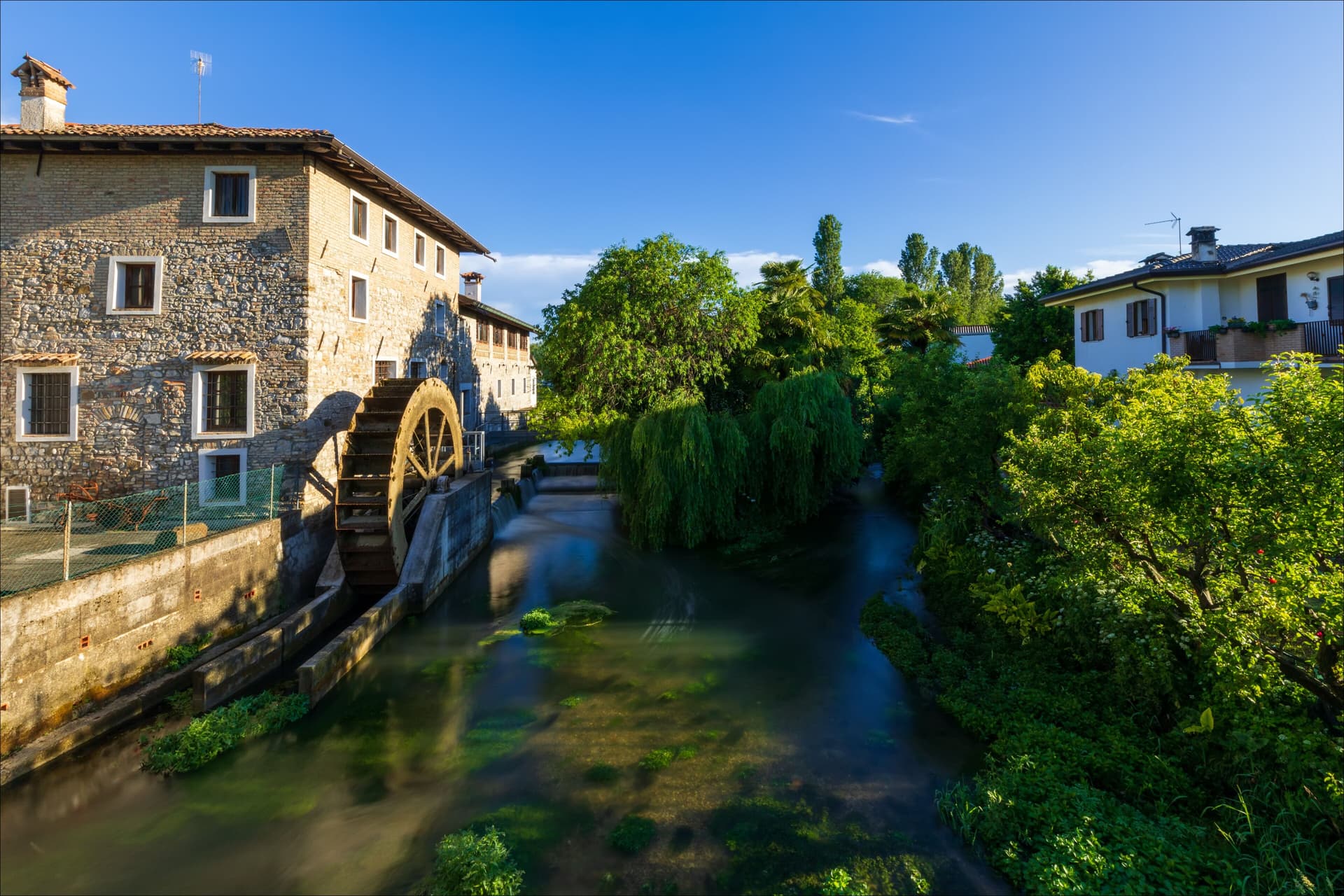
Cervignano del Friuli
Province: Udine
The capital of Bassa Friulana on the Ausa river, an inland river port for Aquileia in 181 BC and a railway junction since 1860.
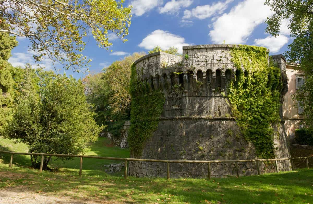
Gradisca d'Isonzo
Province: Gorizia
A 1479 Venetian bastion on the right bank of the Isonzo, with seven towers, twenty-meter walls, and a Habsburg court inside.
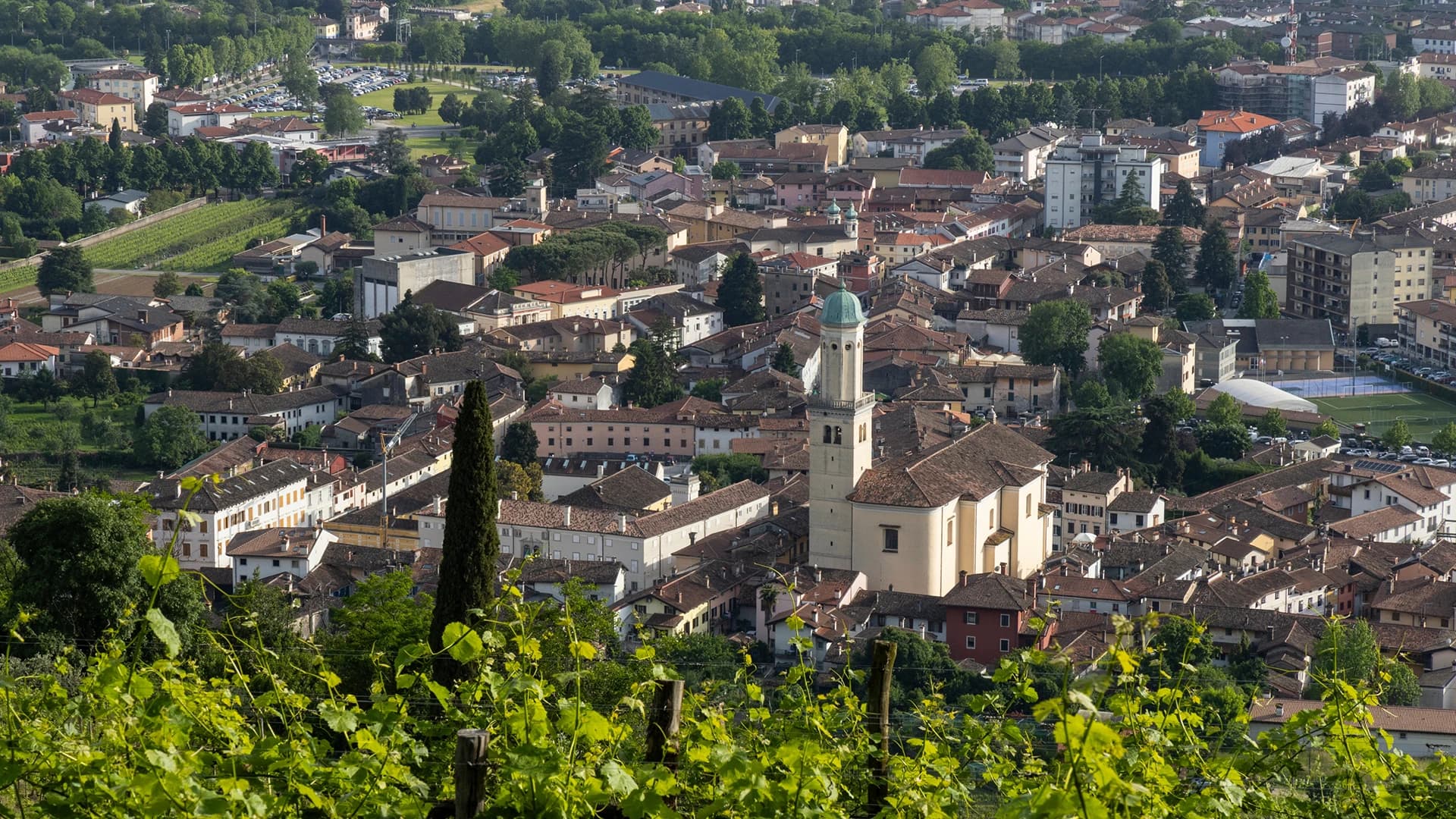
Palmanova
Province: Udine
A nine-pointed Venetian star fortress founded 7 October 1593, designed as a perfect Renaissance city and finished, in three phases, under Napoleon in 1813.
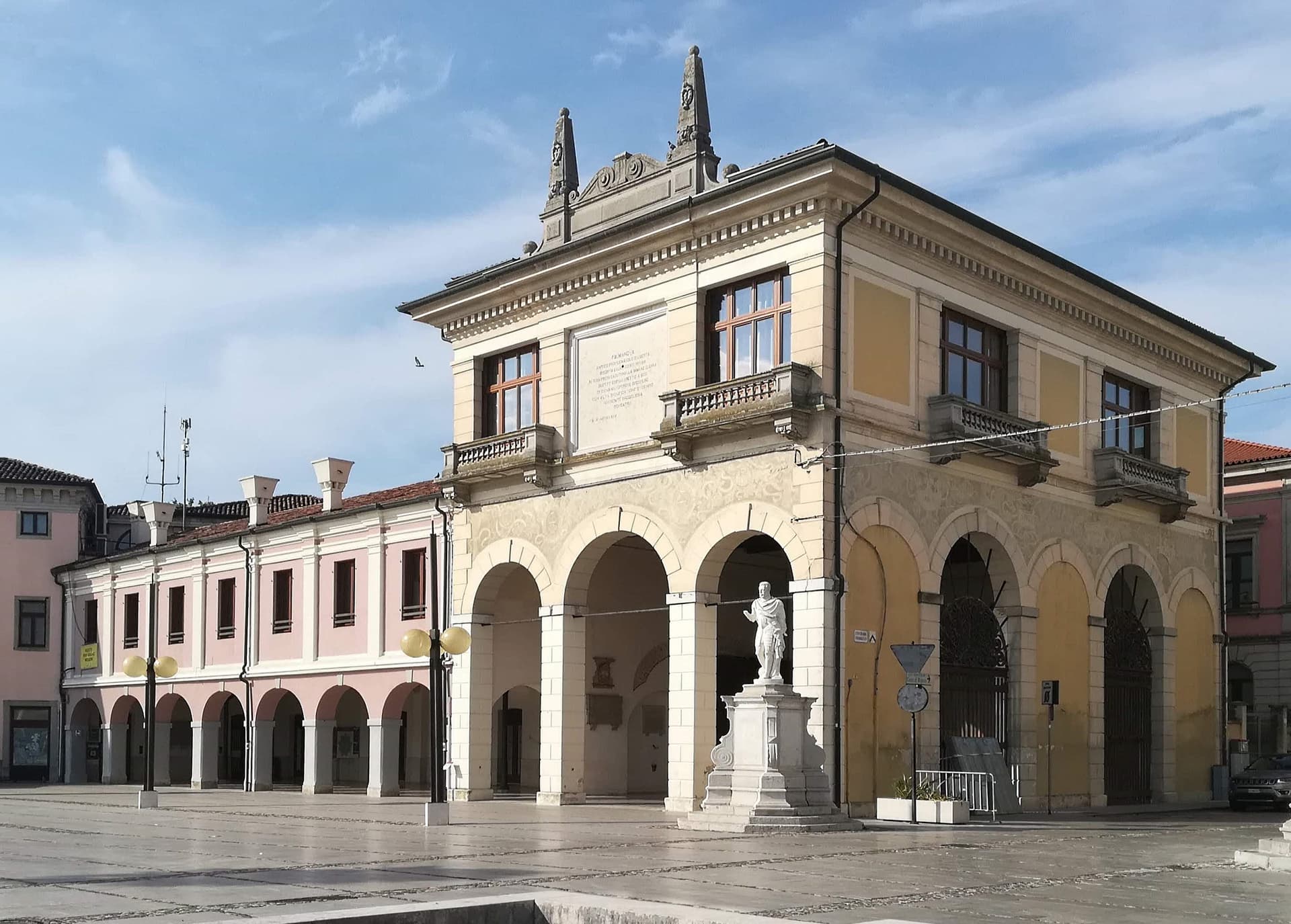
Cormons
Province: Gorizia
The capital of the Collio wine zone at the foot of the Friulian-Slovenian hills, with a statue of Emperor Maximilian I on its main square.
🟦 Bandiera Blu
More Bandiera Blu towns
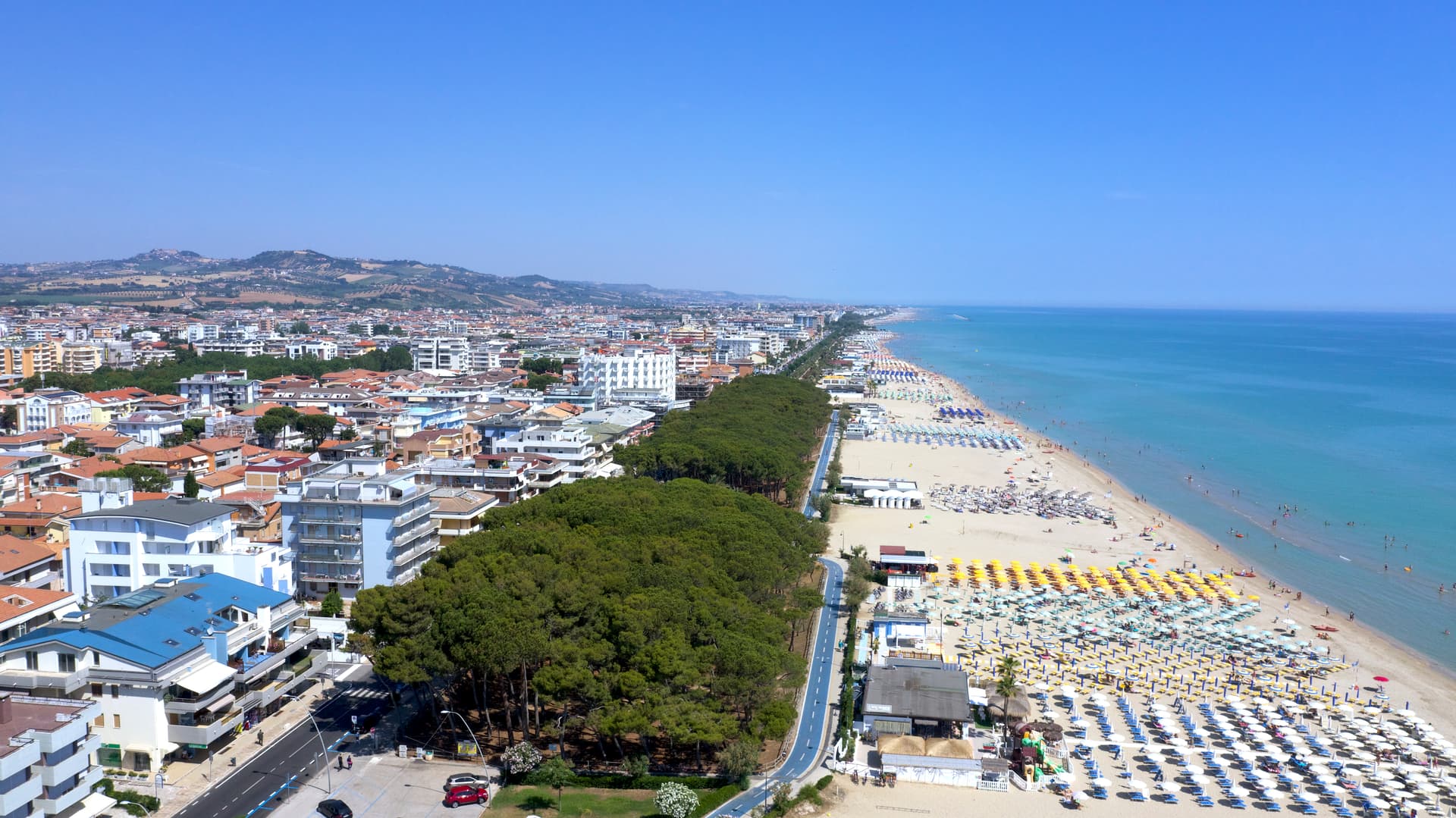
Alba Adriatica
Province: Teramo
The northernmost of the Teramo coast's seven sisters, a 1956 spin-off from Tortoreto with a fine-sand beach known as the Spiaggia d'Argento.
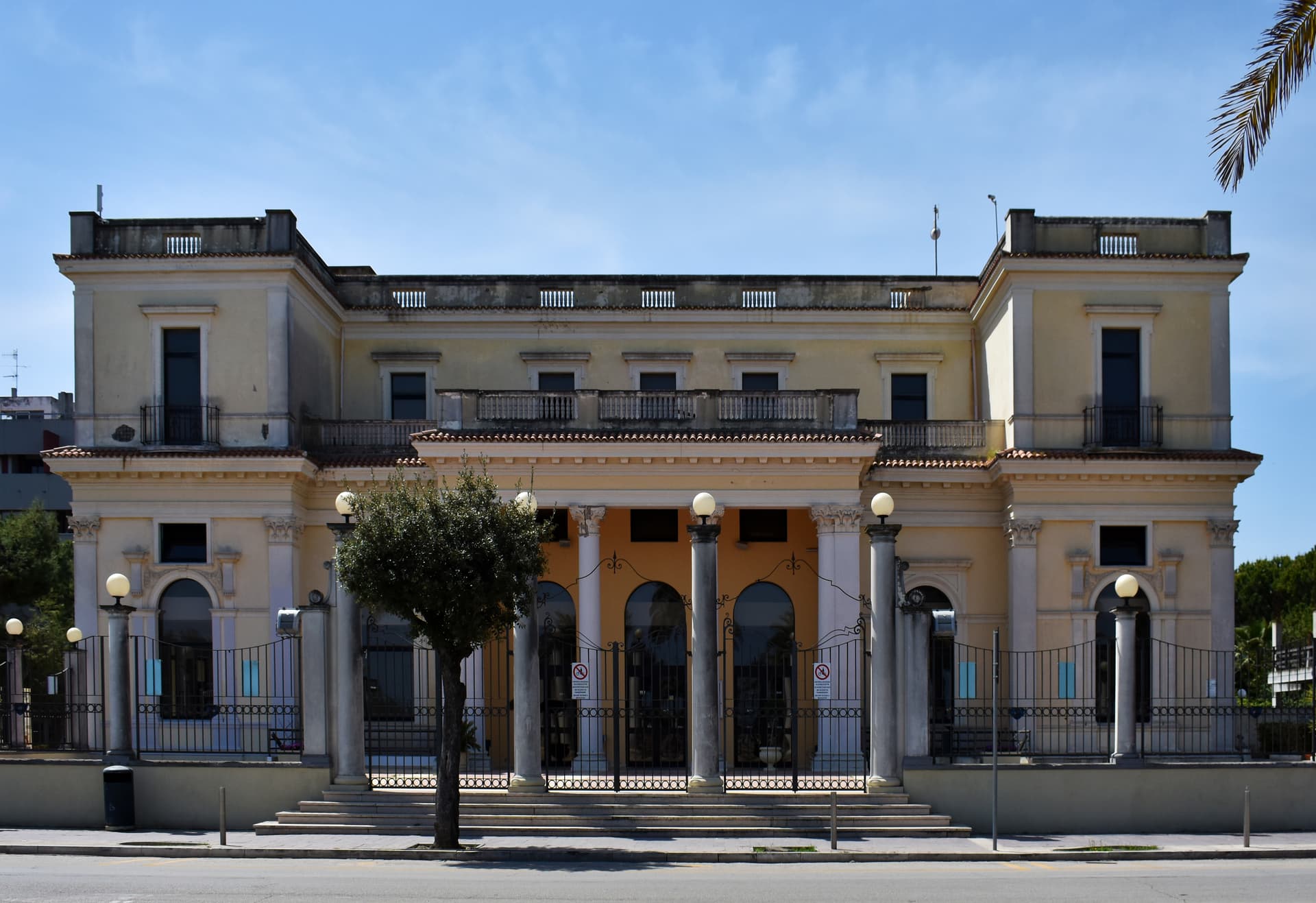
Giulianova
Province: Teramo
Coastal town split between hilltop Paese at 68 meters and the lido, rebuilt in 1471 as a Renaissance ideal city by Giulio Antonio Acquaviva.
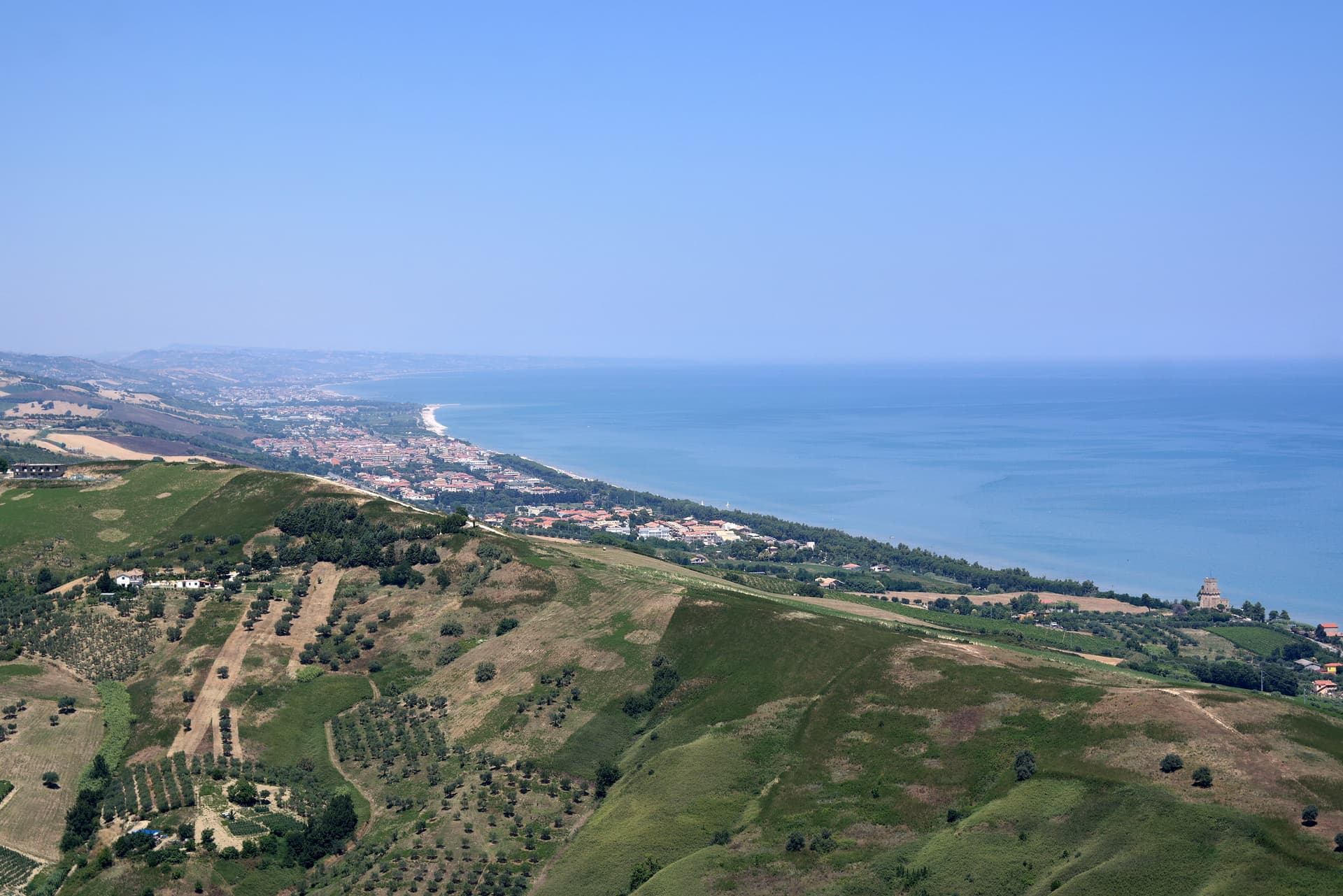
Pineto
Province: Teramo
A planned twentieth-century beach town named for D'Annunzio's poem, with the sixteenth-century Cerrano tower anchoring Abruzzo's first marine protected area.
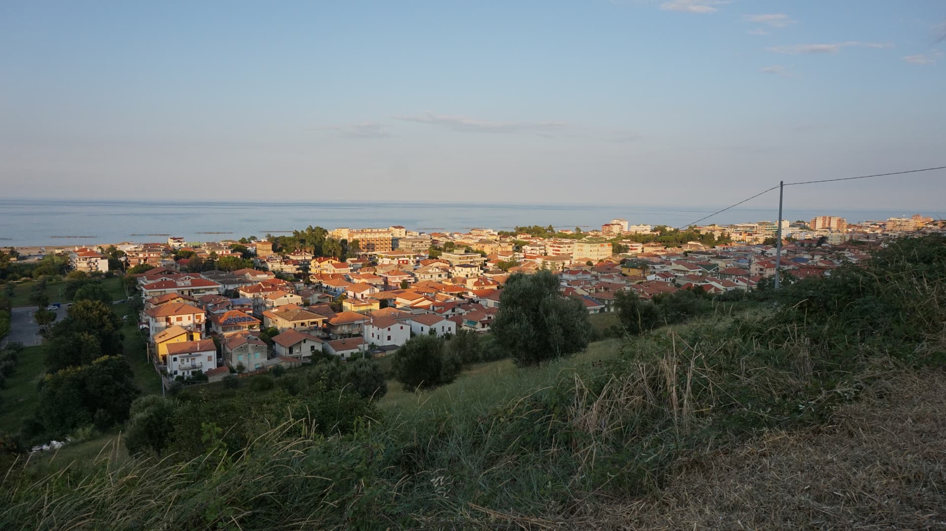
Roseto degli Abruzzi
Province: Teramo
An Adriatic beach town of 25,500 with ten kilometers of low-rise sand, a hilltop frazione at 285 meters, and Blue Flags since 1995.
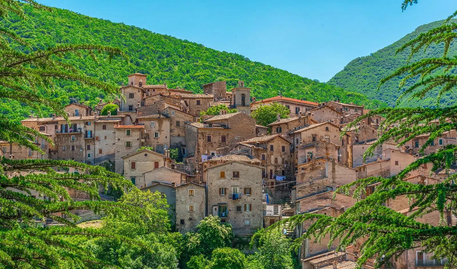
Scanno
Province: L'Aquila
A 1,057-meter Sagittario valley village photographed by Cartier-Bresson and Giacomelli, where women in black still walk the same alleys as the 1957 series.