
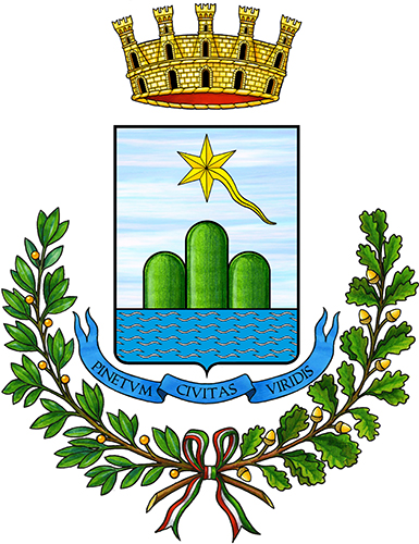
Abruzzo · Teramo
Pineto
A planned twentieth-century beach town named for D'Annunzio's poem, with the sixteenth-century Cerrano tower anchoring Abruzzo's first marine protected area.
Known for
TORRE DEL CERRANO
Sixteenth-century Spanish-era watchtower, now the visible centre of Abruzzo's first marine protected area established in 2010.
PINETA
Continuous coastal pine forest planted to hold the dunes, the feature that named the town after D'Annunzio's poem in 1925.
BANDIERA BLU
Holder of the Blue Flag for beach water quality in most years since 2007, one of the Sette Sorelle of the Teramo coast.
When to visit
Best · May–Sep
- J
- F
- M
- A
- M
- J
- J
- A
- S
- O
- N
- D
- Best
- Hot or crowded
- Quiet
- Mostly closed
Why come
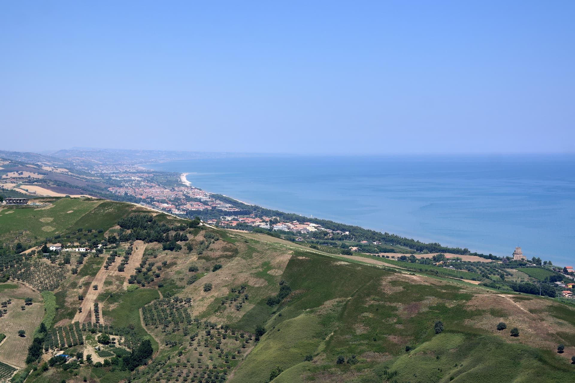
Pineto sits at sea level, one of the Sette Sorelle, the seven Adriatic resorts of the Teramo coast. The town was planned in the 1920s by Luigi Filiani as a beach resort under pine forest, and renamed Pineto in 1925 after Gabriele D'Annunzio's poem La Pioggia nel Pineto. In 1929 it replaced Mutignano, the older hill village above, as the capoluogo of the comune.
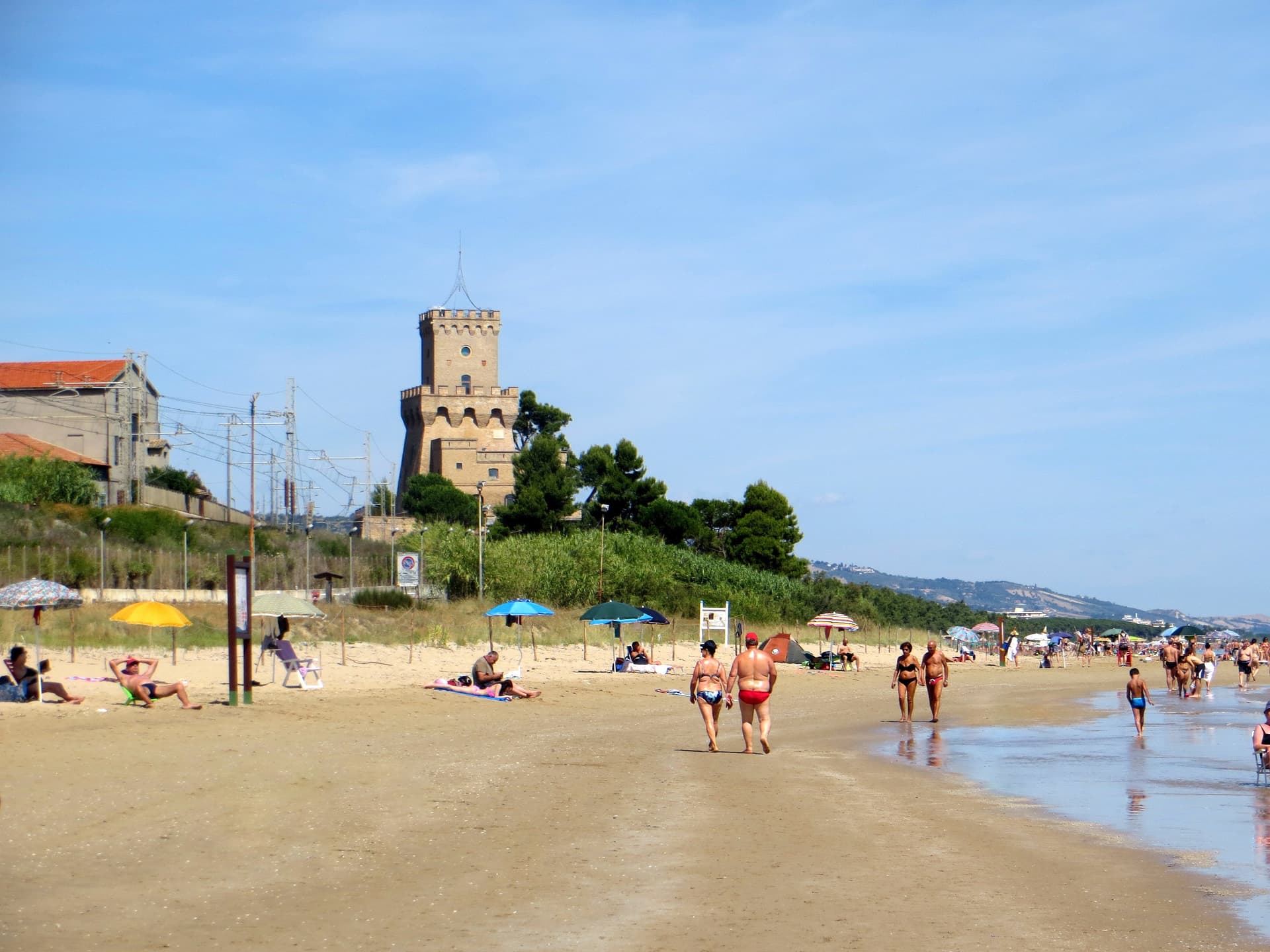
Two kilometers south of the centre stands the Torre del Cerrano, built around 1568 by Charles V as a watchtower against Ottoman raiders. In 2010 the tower and the stretch of sea in front of it became Abruzzo's first marine protected area, 3,431 hectares of coast and shallow water. The beach has held a Blue Flag in most years since 2007. The pine canopy, planted to hold the dunes, still shades the seafront promenade as far north as the Vibrata river.
The Sunday letter
We haven’t written Pineto’s letter yet.
One town every Sunday, with the photo, the food, the festa. Be there when this one comes up. Free, by Peter & Sophia from Pietrasanta.
By subscribing you agree to Substack’s Terms of Use, our Privacy Policy and our Information collection notice.
What to see
Torre del Cerrano
Sixteenth-century watchtower built around 1568 under Charles V against Ottoman raids, now the gateway to Abruzzo's first marine reserve.
Area Marina Protetta Torre del Cerrano
3,431 hectares of protected coast and shallow Adriatic water established in 2010, the first marine reserve in the region.
Pineta Catucci
Coastal pine forest planted in the early twentieth century to hold the dunes, shading the seafront promenade and the bike path.
Mutignano
Medieval hill frazione above Pineto, the original capoluogo of the comune until 1929, with the Chiesa di San Silvestro Papa.
Chiesa di Sant'Agnese
Modern parish church near the seafront, the religious centre of the twentieth-century resort grid.
The slow-trip planner
Building a trip? Find where Pineto fits in a slow Italy circuit.
Answer five questions. We will shape a geographically coherent slow trip from the 1,000 Italian towns most travelers skip. Yours to save and share.
We recommend
Where to eat and stay
Not our picks, but places the guides put their name to — a Michelin star, a Gambero Rosso fork, a Slow Food snail, a Michelin Key for the hotels. Worth a table, a counter, or a night when you pass through.
Bacucco d’OroRistorante
Bacucco d’Oro holds a Slow Food snail.
La Conchiglia d'OroRistorante
La Conchiglia d'Oro has a spot in the Michelin Guide to its name.
ResilienzaRistorante
Resilienza carries a spot in the Michelin Guide.
Living here
- Population 14,571
- In-betweeni
- Pharmacy in town
- High school within a 30-minute drive
- Train station in the comune
- Nearest airport Ancona / Pescara, 1 h 32 min drive
- Regional capital L'Aquila, 1 h 7 min drive
Tags & datadesignations · numbers · sources
Recognised as
The numbers
- Elevation: 4 m
- Population: 14,571
- Surface area: 38.11 km²
These figures were compiled from public directories — ISTAT, OpenStreetMap, Wikidata — and from the official listings of the guides named on this page. Town details change; verify with official sources before you travel.
Close by
More towns near Pineto
Roseto degli Abruzzi
Province: Teramo
An Adriatic beach town of 25,500 with ten kilometers of low-rise sand, a hilltop frazione at 285 meters, and Blue Flags since 1995.
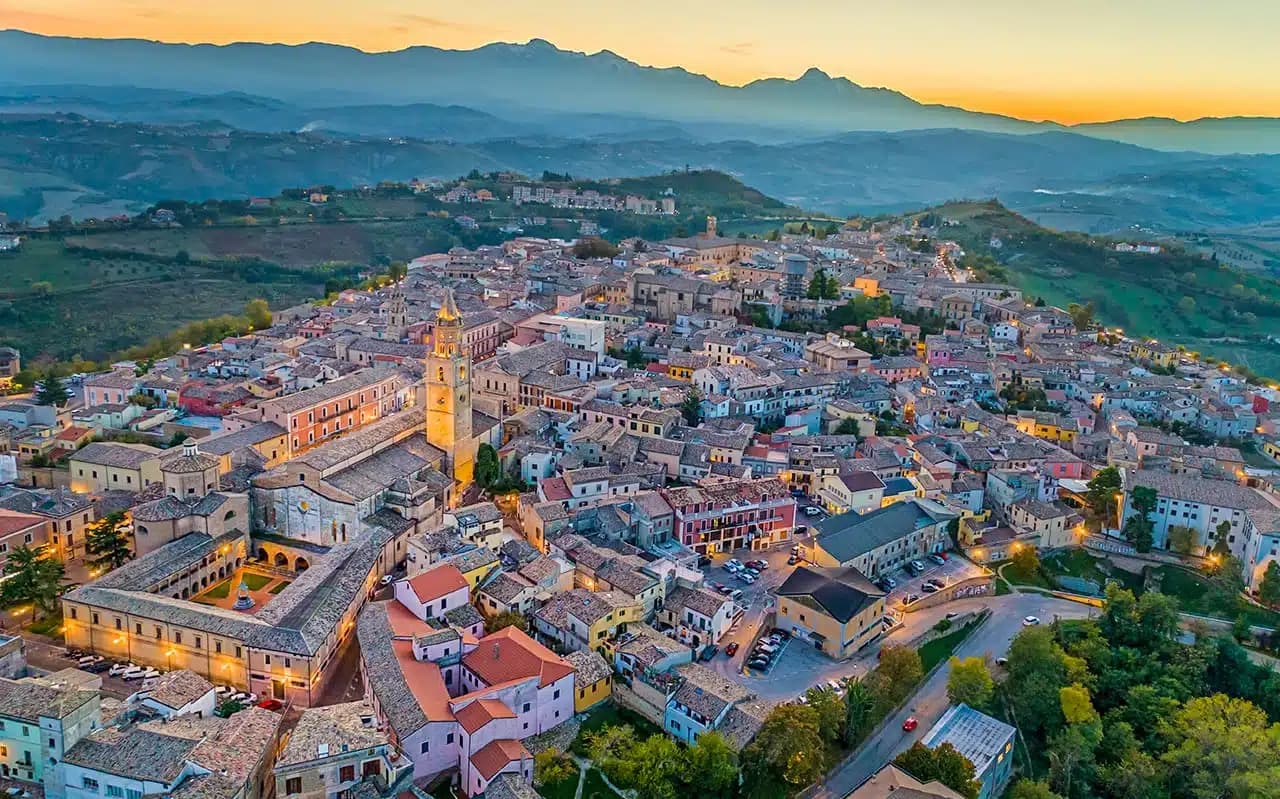
Atri
Province: Teramo
At 442 meters on three hills ten kilometers from the Adriatic, ancient Hadria, source of the emperor Hadrian's family name and the Adriatic's.
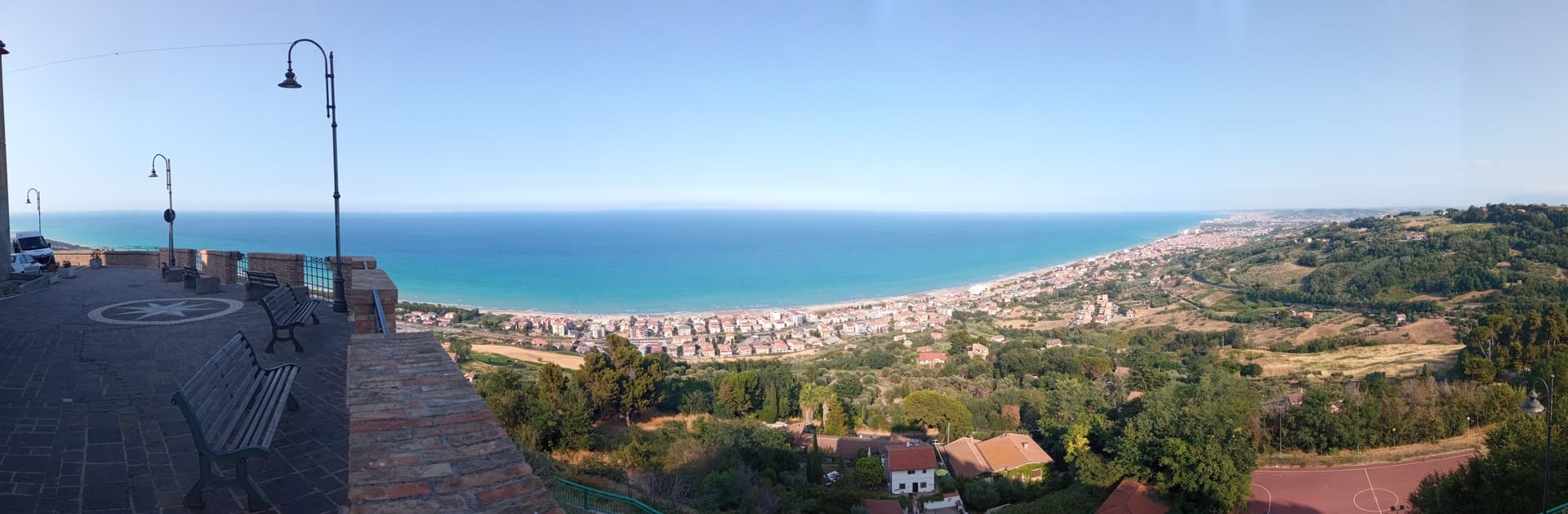
Silvi
Province: Teramo
A split town on the Teramo coast, medieval Silvi Paese at 242 meters above a nine-kilometer beach that built itself on licorice in the 1930s.
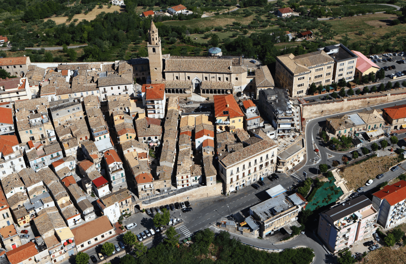
Città Sant'Angelo
Province: Pescara
A hilltop borgo at 320 meters between the Vestina hills and the Adriatic, named for the Archangel and known since 1352 as a Collegiata seat.
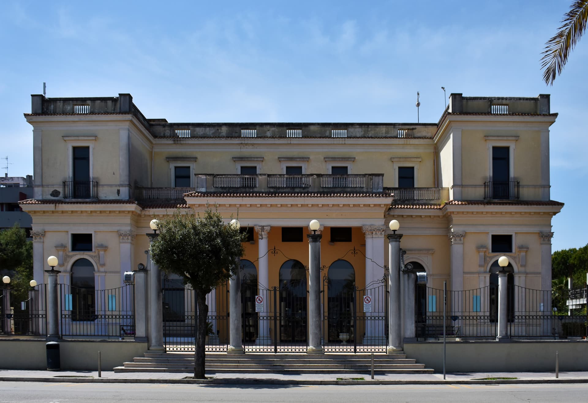
Giulianova
Province: Teramo
Coastal town split between hilltop Paese at 68 meters and the lido, rebuilt in 1471 as a Renaissance ideal city by Giulio Antonio Acquaviva.
🐌 Cittaslow
More Cittaslow towns in Abruzzo
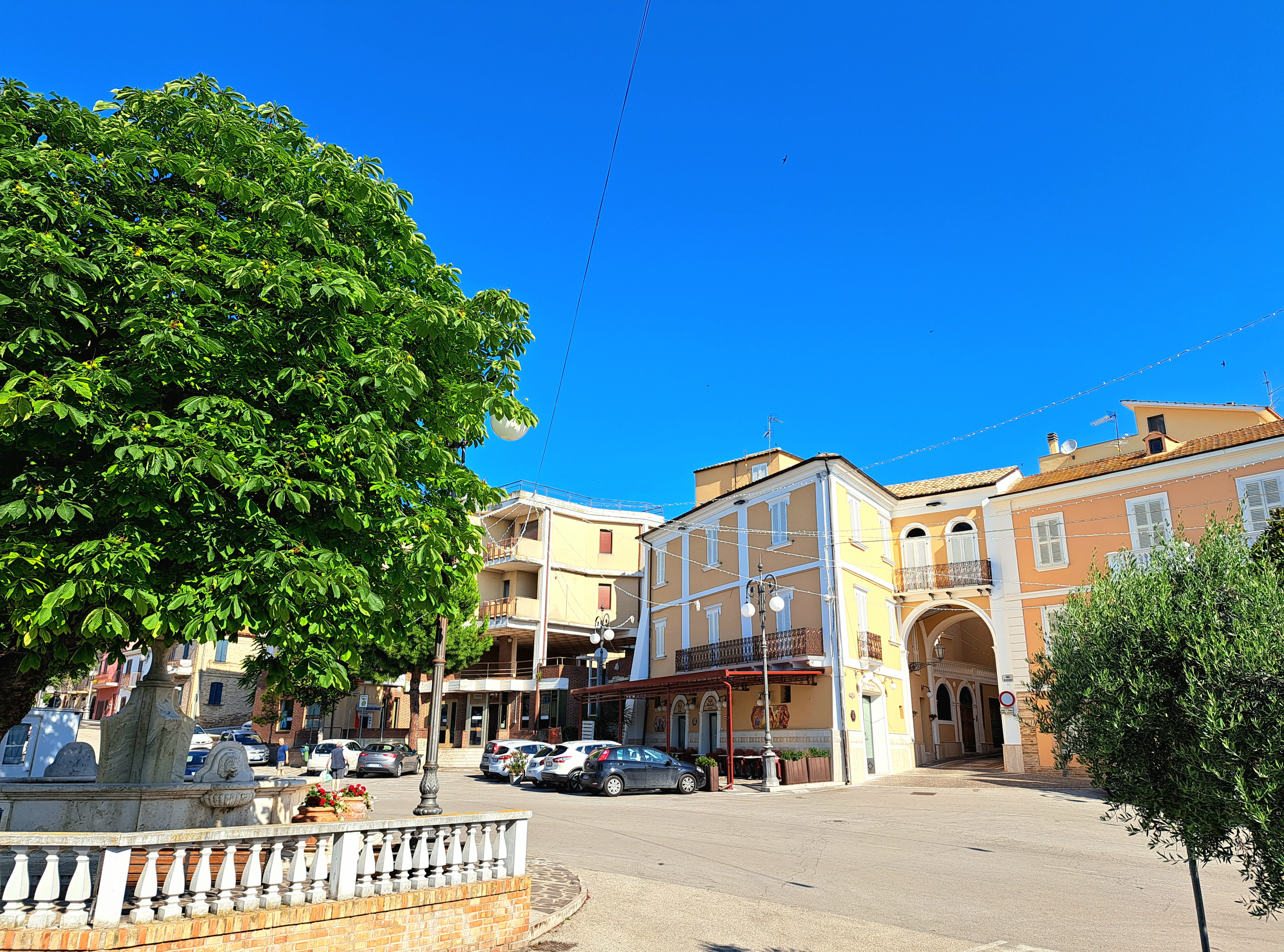
Controguerra
Province: Teramo
A 267-meter Val Vibrata wine village, seat of the Controguerra DOC since 1996, and a founding Cittaslow of the Teramo hills.
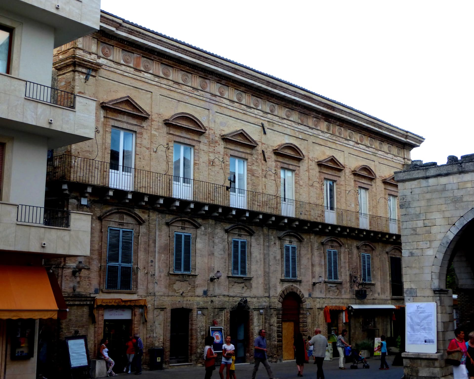
Guardiagrele
Province: Chieti
The 576-meter terrazza d'Abruzzo on the Majella's foothills, hometown of fifteenth-century goldsmith Nicola da Guardiagrele and seat of the Majella park.
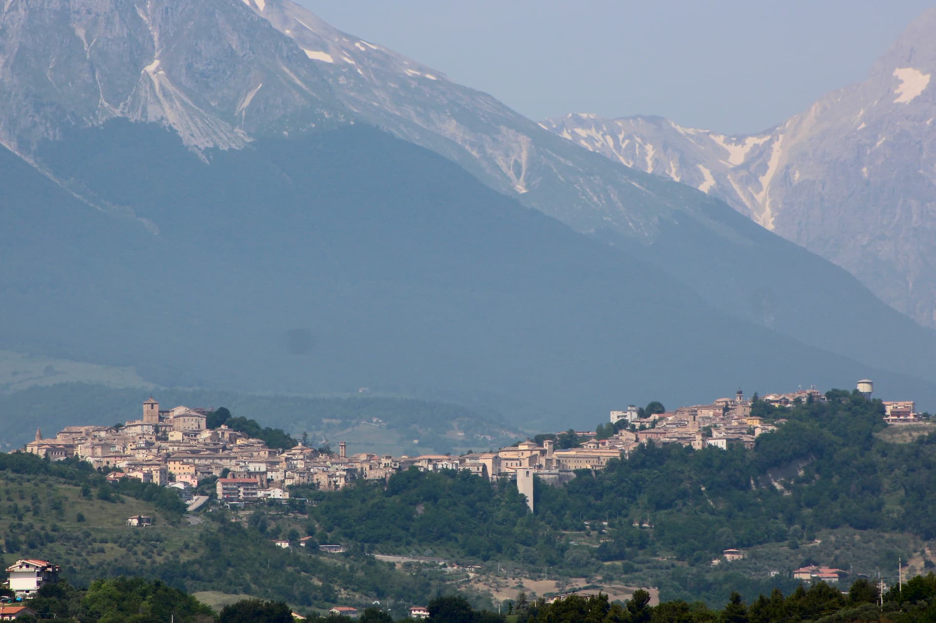
Penne
Province: Pescara
The brick city at 438 meters between the Tavo and Fino, ancient capital of the Vestini, rebuilt after Allied bombing and awarded the Silver Medal of Civic Merit.
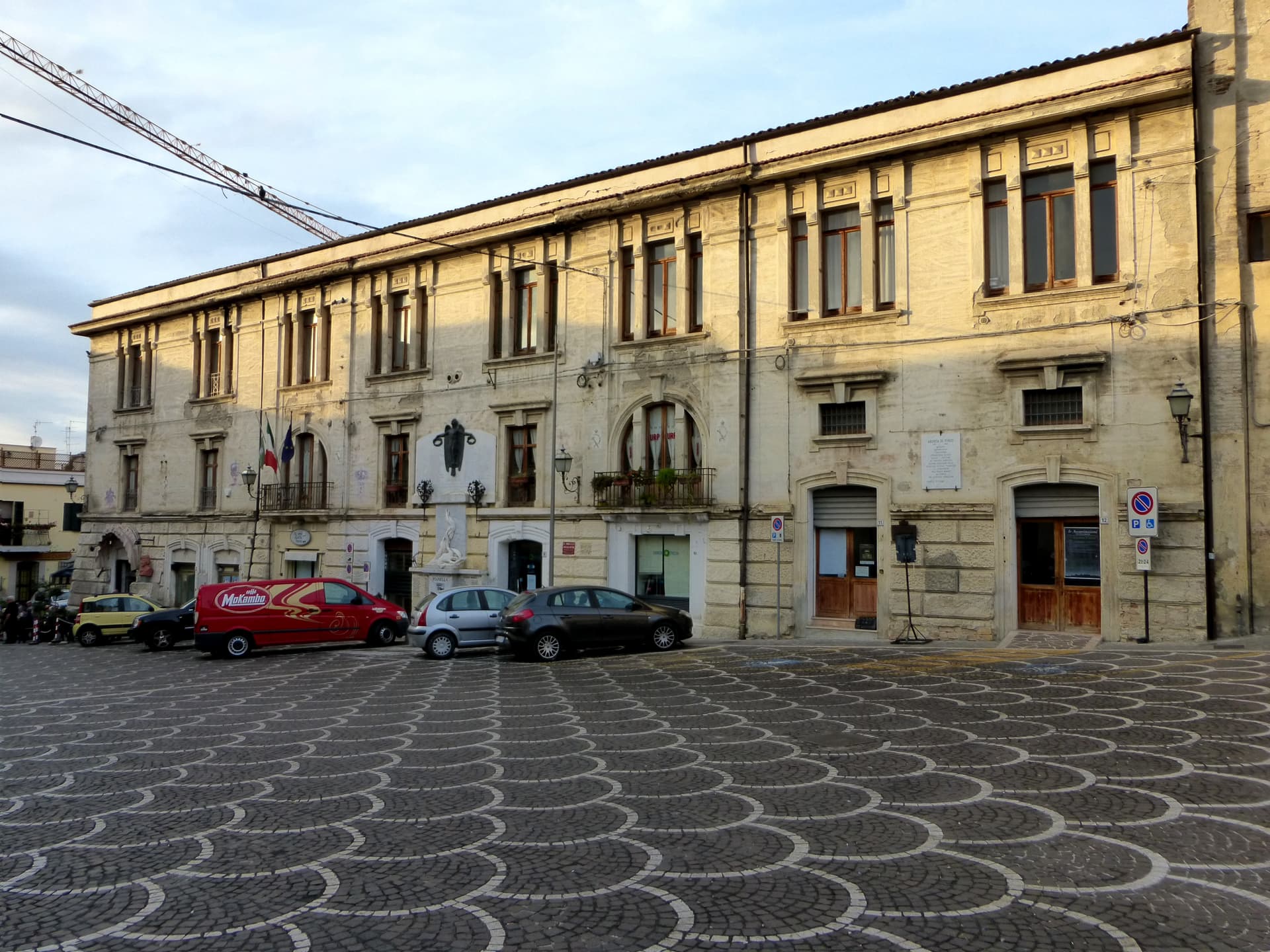
Pianella
Province: Pescara
A Cittaslow hill town at 236 meters between the Tavo and Pescara rivers, anchor of the Aprutino oil triangle and home of the dritta olive.