
Sicily · Trapani
San Vito Lo Capo
A three-kilometer white-sand beach under Monte Monaco at Sicily's northwest tip, the town that turned cous cous into a September festival.
Known for
COUS COUS FEST
International festival of Mediterranean gastronomy in the last week of September, running since 1998 with chefs from across the basin.
THE BEACH
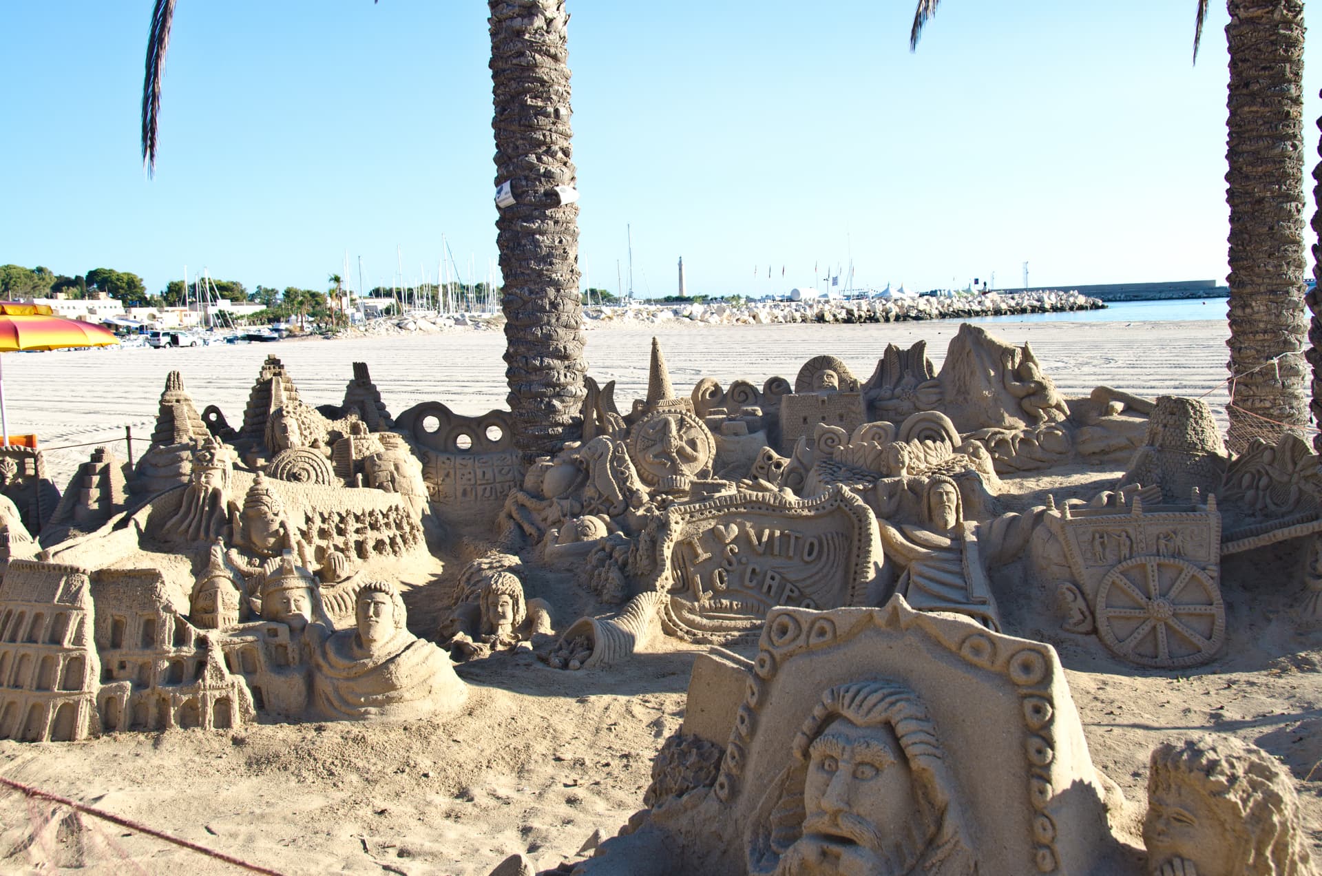
Three kilometers of white sand under Monte Monaco, the most photographed Sicilian beach after Cefalù.
ROCK CLIMBING
Nearly four kilometers of coastal cliff with around 1,600 bolted routes, one of Europe's main winter climbing destinations.
When to visit
Best · May–Oct
- J
- F
- M
- A
- M
- J
- J
- A
- S
- O
- N
- D
- Best
- Hot or crowded
- Quiet
- Mostly closed
The festa: San Vito, 15 June
Why come
San Vito Lo Capo sits at the tip of a cape on Sicily's northwest coast, between Monte Monaco and Monte Cofano, fifty-five kilometers from Palermo. The beach is three kilometers of white sand in a sheltered bay, the water turquoise enough that the town gets called the Sicilian Caribbean by people who have never seen the actual Caribbean. The Santuario di San Vito Martire, a fifteenth-century fortress-sanctuary with Arab-Norman walls, anchors the centro storico along Via Savona.
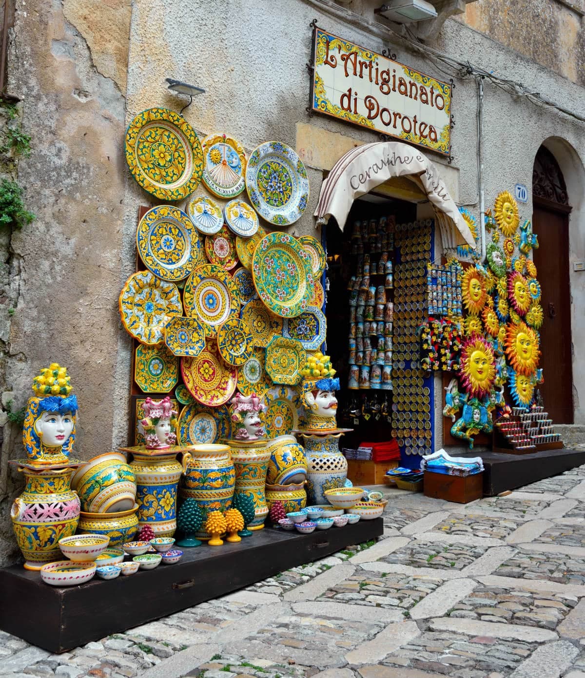
The commune was administered from Erice until 1952, when the Sicily Region recognized it as its own municipality. Since 1998 the Cous Cous Fest has run in the last week of September, an international festival of Mediterranean gastronomy that turns a four-thousand-person town into a stage for North African and Sicilian cooks competing on the same dish. The Riserva dello Zingaro begins seven kilometers down the coast, untouched by road.
The Sunday letter
We haven’t written San Vito Lo Capo’s letter yet.
One town every Sunday, with the photo, the food, the festa. Be there when this one comes up. Free, by Peter & Sophia from Pietrasanta.
By subscribing you agree to Substack’s Terms of Use, our Privacy Policy and our Information collection notice.

What to see
Spiaggia di San Vito Lo Capo
Three-kilometer white-sand beach in a sheltered bay below Monte Monaco, the principal draw of the town.
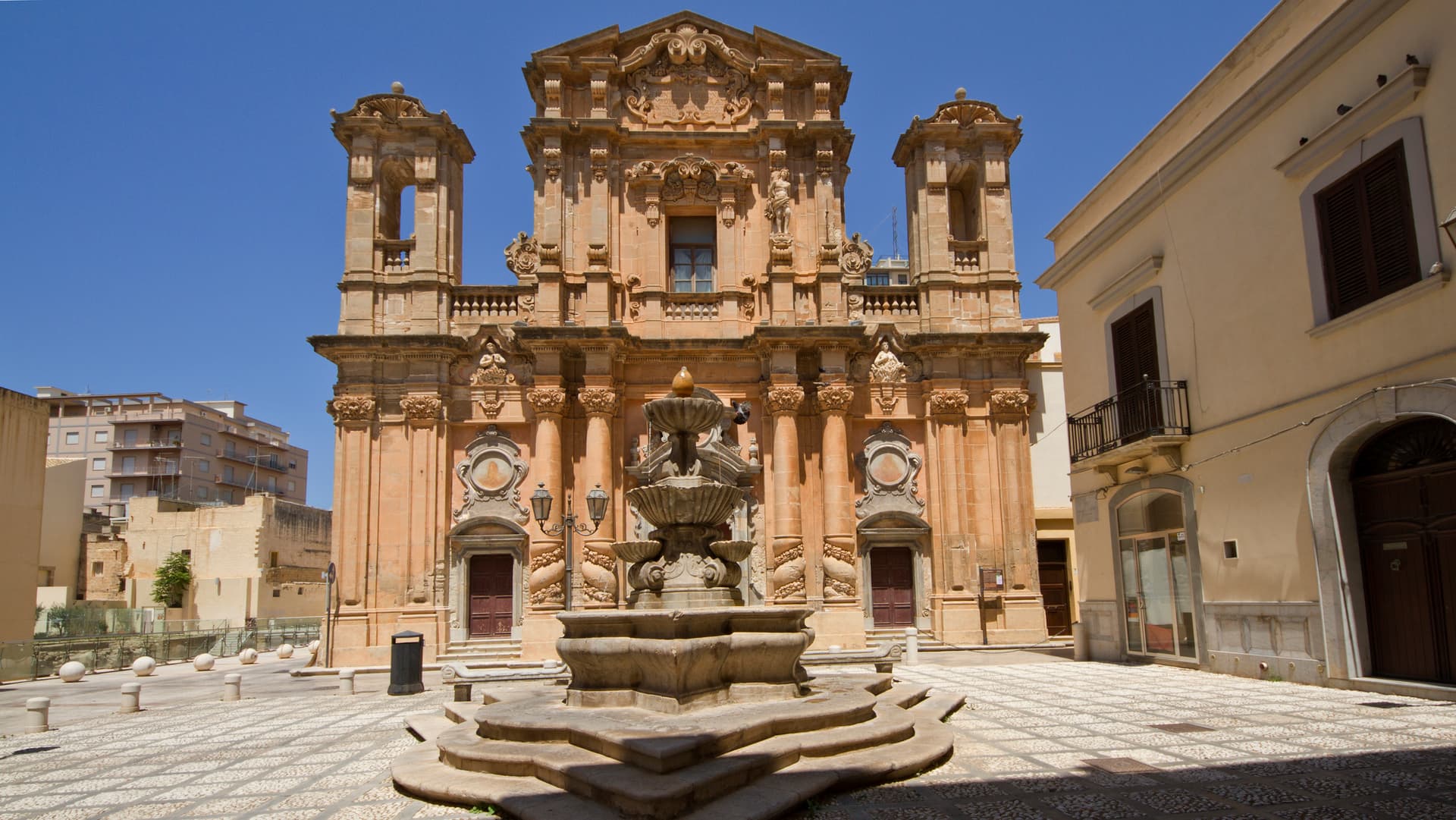
Santuario di San Vito Martire
Fifteenth-century fortress-sanctuary with Arab-Norman walls dedicated to the patron, standing on Via Savona at the heart of the centro storico.
Monte Monaco
Limestone peak of just over 500 meters rising directly behind the town, with views over the bay and Capo San Vito.
Tonnara del Secco
Disused tuna-fishing complex active until 1969, three kilometers from the centre along the path toward the Riserva dello Zingaro.
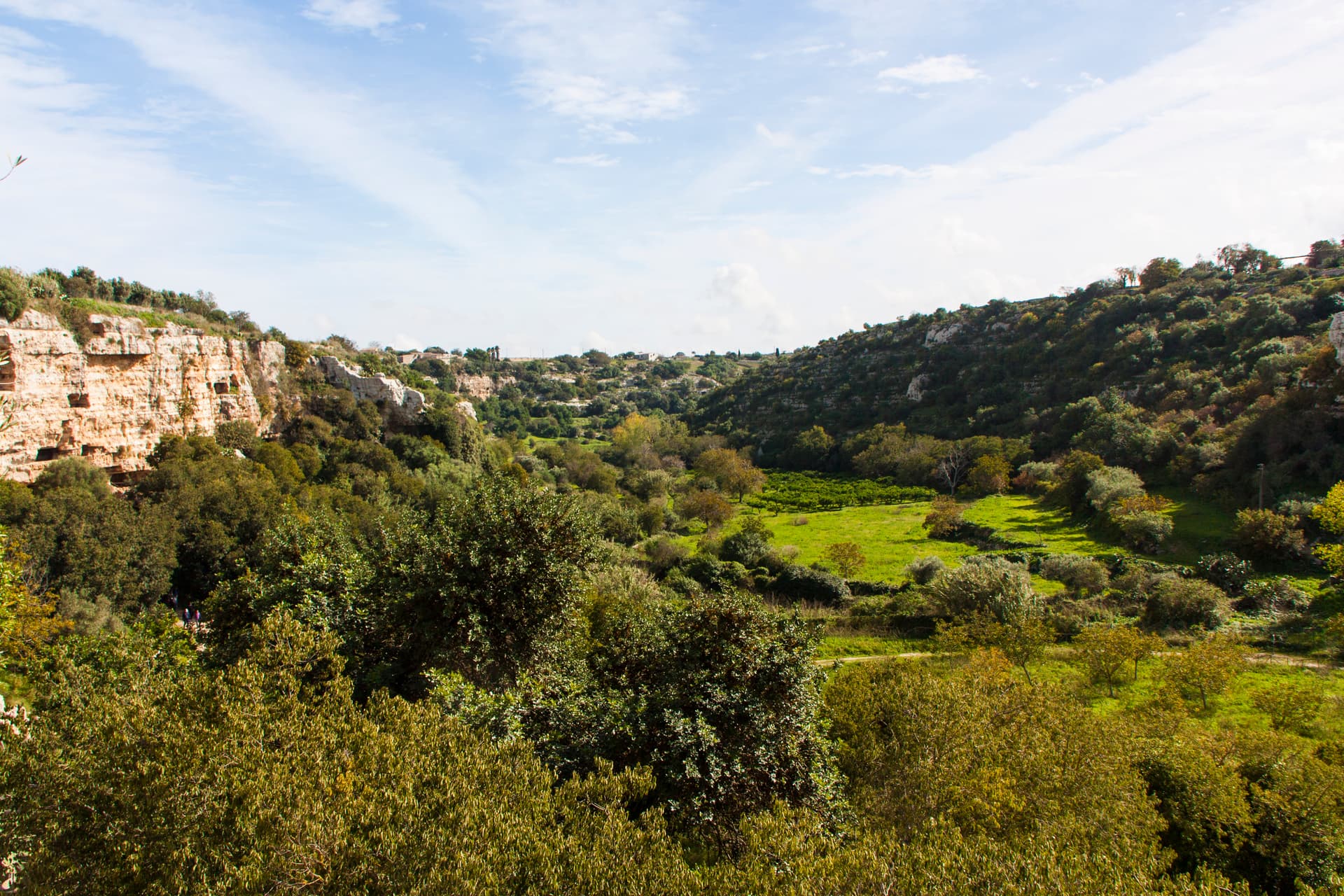
Riserva Naturale dello Zingaro
Seven-kilometer protected coast of coves and macchia between San Vito and Castellammare del Golfo, Sicily's first regional nature reserve.
The slow-trip planner
Building a trip? Find where San Vito Lo Capo fits in a slow Italy circuit.
Answer five questions. We will shape a geographically coherent slow trip from the 1,000 Italian towns most travelers skip. Yours to save and share.
We recommend
Where to eat and stay
Not our picks, but places the guides put their name to — a Michelin star, a Gambero Rosso fork, a Slow Food snail, a Michelin Key for the hotels. Worth a table, a counter, or a night when you pass through.
Profumi di Cous CousRistorante
Profumi di Cous Cous carries a spot in the Michelin Guide.
Syrah RistorantinoRistorante
One Gambero Rosso fork (78/100), at Syrah Ristorantino.
Living here
- Population 4,814
- Off the beaten pathi
- Pharmacy in town
- Nearest high school over ~30 minutes away
- Nearest airport Sicily, 4 h 41 min drive
- Regional capital Palermo, 2 h 9 min drive
Tags & datadesignations · numbers · sources
Recognised as
The numbers
- Elevation: 5 m
- Population: 4,814
- Surface area: 60.12 km²
These figures were compiled from public directories — ISTAT, OpenStreetMap, Wikidata — and from the official listings of the guides named on this page. Town details change; verify with official sources before you travel.
Close by
More towns near San Vito Lo Capo
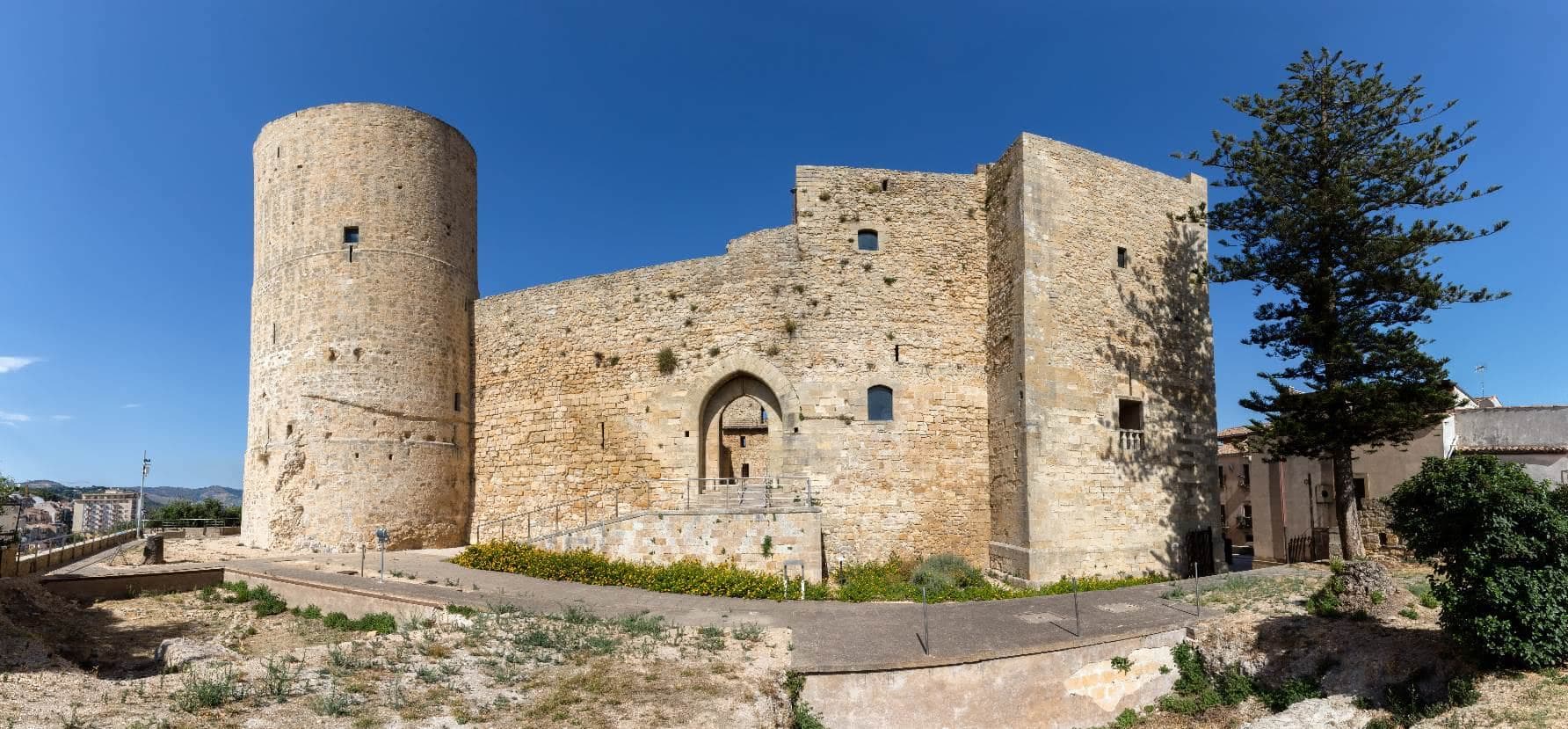
Erice
Province: Trapani
An Elymian mountaintop city at 751 meters above Trapani, with a Norman castle on the site of the temple of Venus Erycina and a Cold War physics centre.
Marsala
Province: Trapani
Sicily's westernmost city, born from the Phoenician refugees of Mozia, where Garibaldi landed in 1860 and English merchants invented Marsala wine.
Salemi
Province: Trapani
The Belice Valley town where Garibaldi raised the tricolor on 14 May 1860 and proclaimed Salemi the capital of Italy for a day.
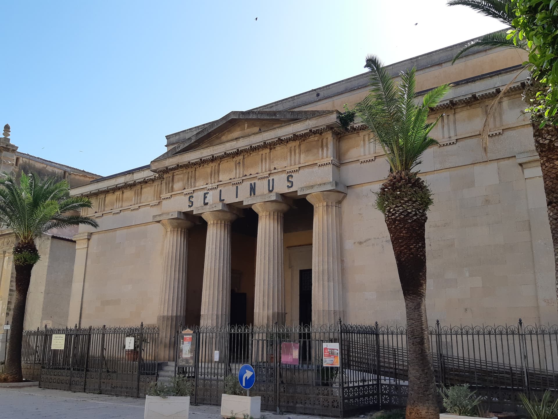
Castelvetrano
Province: Trapani
The Belice valley town that owns Selinunte, the largest archaeological park in Europe, and bakes black bread from grain found in its tombs.
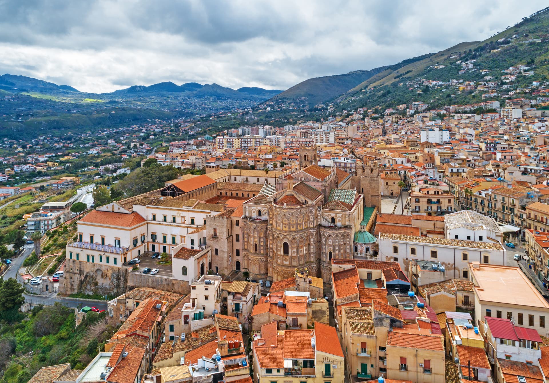
Monreale
Province: Palermo
Above the Conca d'Oro at 310 meters, the cathedral William II built between 1174 and 1182 holds 6,340 square meters of Norman mosaics.
🟣 Bandiera Lilla
More Bandiera Lilla towns in Sicily
Geraci Siculo
Province: Palermo
A Madonie ridge village at 1,077 meters, capital of the Ventimiglia marquisate from 1258 and the first marquisate granted in Sicily.
Modica
Province: Ragusa
A vertical Baroque city in the Hyblean Mountains, rebuilt from the 1693 earthquake and home to a chocolate recipe brought from Aztec Mexico.
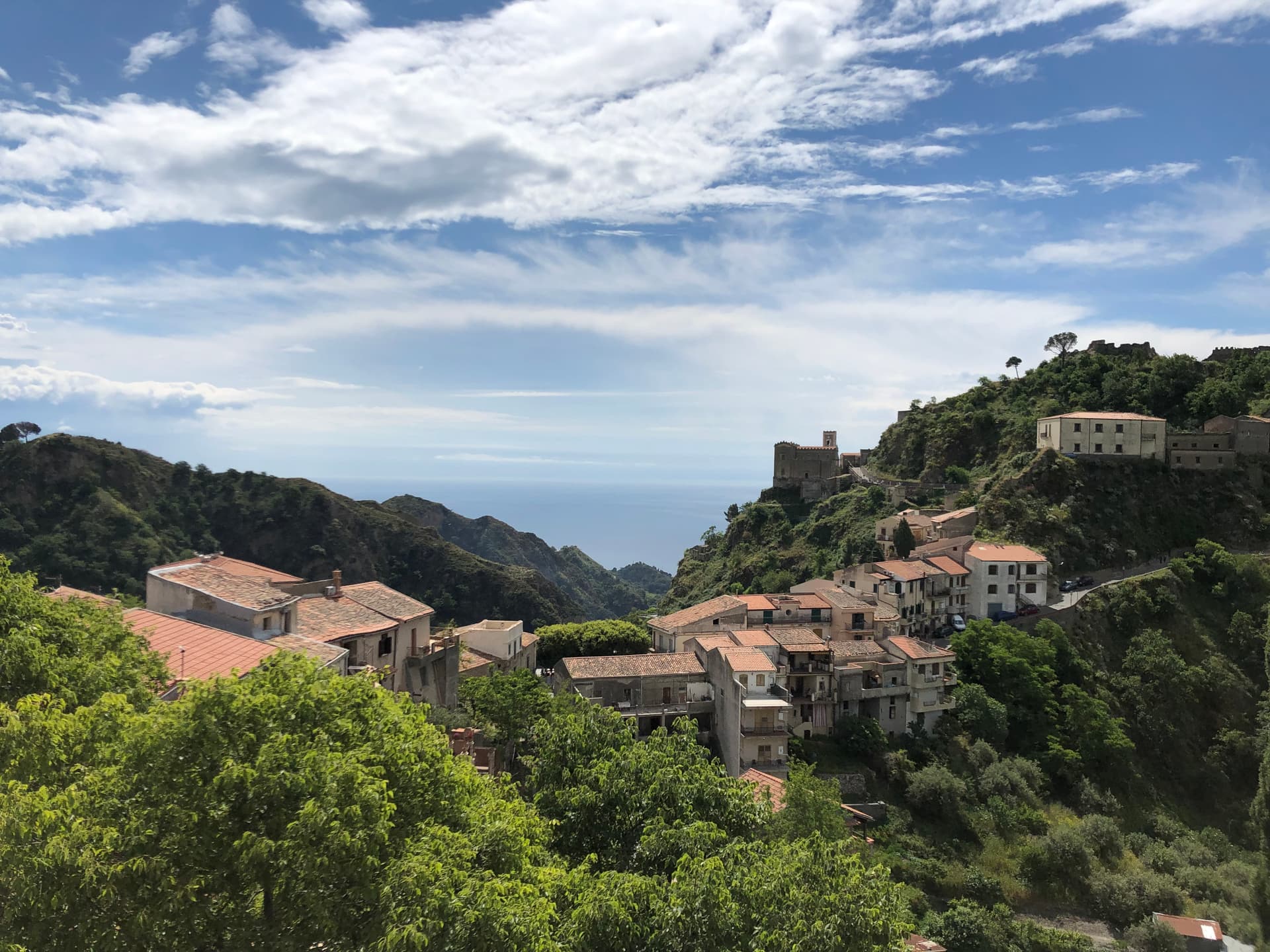
Savoca
Province: Messina
A hilltop borgo at 300 meters above the Ionian where Francis Ford Coppola filmed the Sicilian scenes of The Godfather in 1971.