
Tuscany · Grosseto
Manciano
A market town in the southern Maremma, with a Sienese fortress of 1424 and the thermal frazione of Saturnia in its territory.
Known for
SATURNIA
Etruscan frazione with sulphurous hot springs averaging 37 degrees Celsius, used since Roman times and free to enter at the Cascate del Mulino.
ROCCA SENESE
Square keep on Aldobrandeschi foundations, built by Siena in 1424 during the brief occupation of the southern Maremma.
MAREMMA MARKET
Historic market town for the Albegna and Fiora valleys, wine and olive oil from low hills, wild boar and pecorino from the surrounding pastures.
When to visit
Best · Apr–Oct
- J
- F
- M
- A
- M
- J
- J
- A
- S
- O
- N
- D
- Best
- Hot or crowded
- Quiet
- Mostly closed
The festa: Leonardo di Noblac, 6 November
Why come
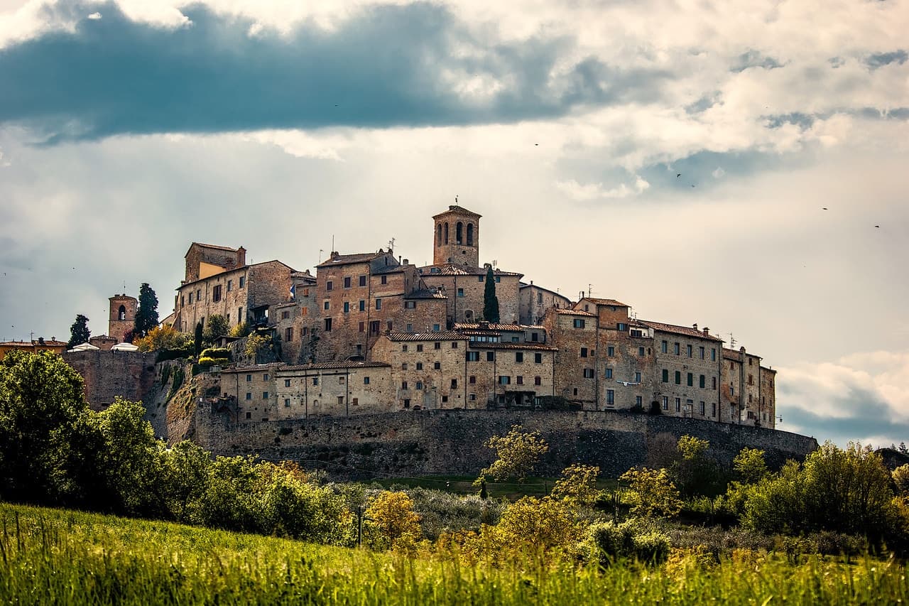
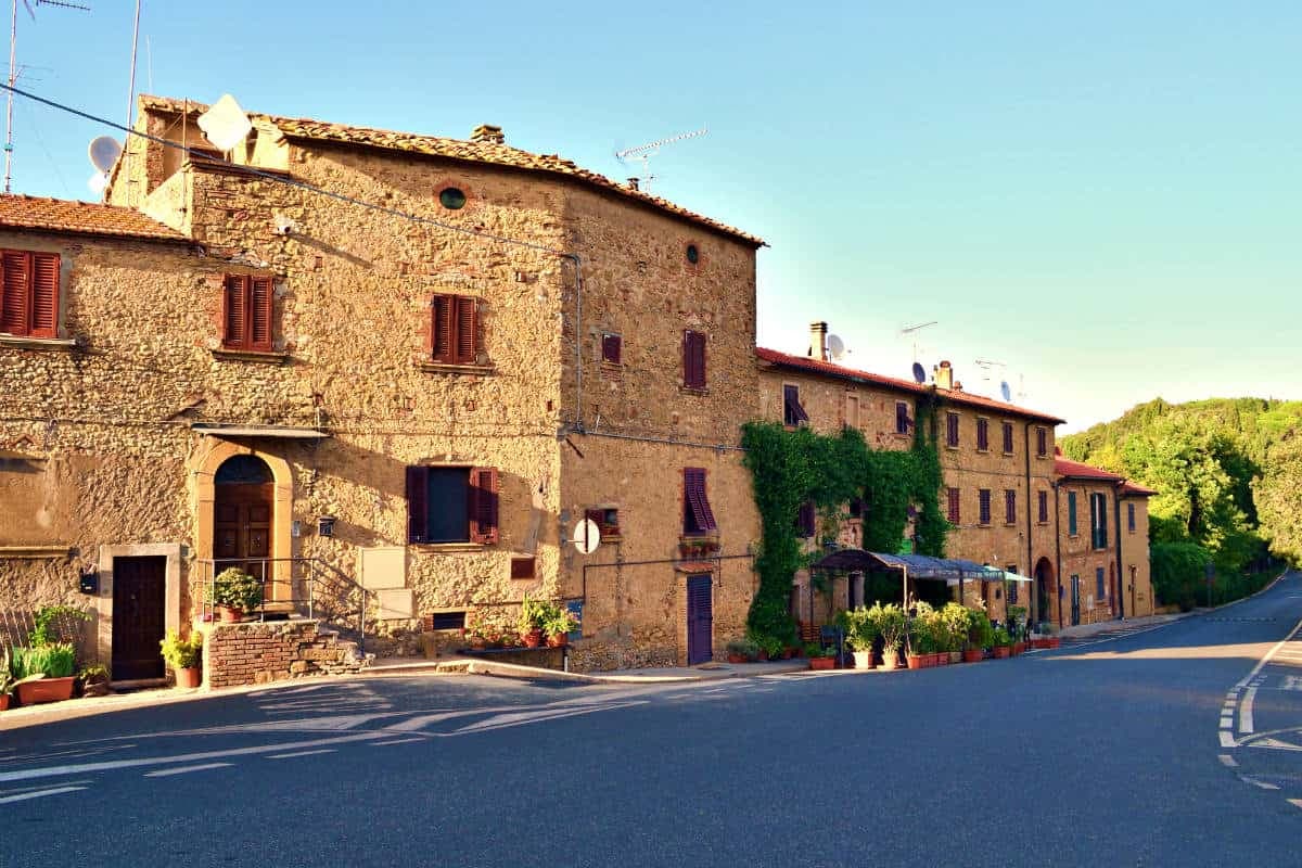
Manciano sits on a hill in the southern Maremma grossetana, with a 360-degree view that runs from Monte Amiata north to the Tyrrhenian coast. The Aldobrandeschi held the original stronghold from the twelfth century. Siena occupied the town between 1419 and 1455 and built the Rocca that still dominates the centro storico, a square keep with battlements on a shoe-base.
After 1455 it returned to local rule and passed eventually to the Medici Grand Duchy. The comune is large by Toscana standards and includes some of the best-known places of the southern Maremma: Saturnia, the Etruscan town built around its sulphurous hot springs, and Montemerano, a small walled borgo on the road to the Lago di Bolsena. The Albegna and Fiora valleys, which the town once served as a regional market, still meet at its foot. Wine, olive oil and wild boar work the territory in roughly the order they sit on a Maremmano menu.


What to see
Rocca Aldobrandesca
Sienese fortress of 1424 on Aldobrandeschi foundations, square keep, walls with battlements and a solid shoe-base, dominating the centro storico.
Saturnia
Etruscan town and frazione south of Manciano, with medieval walls, remains of a Roman road and the sulphurous hot springs used since antiquity.
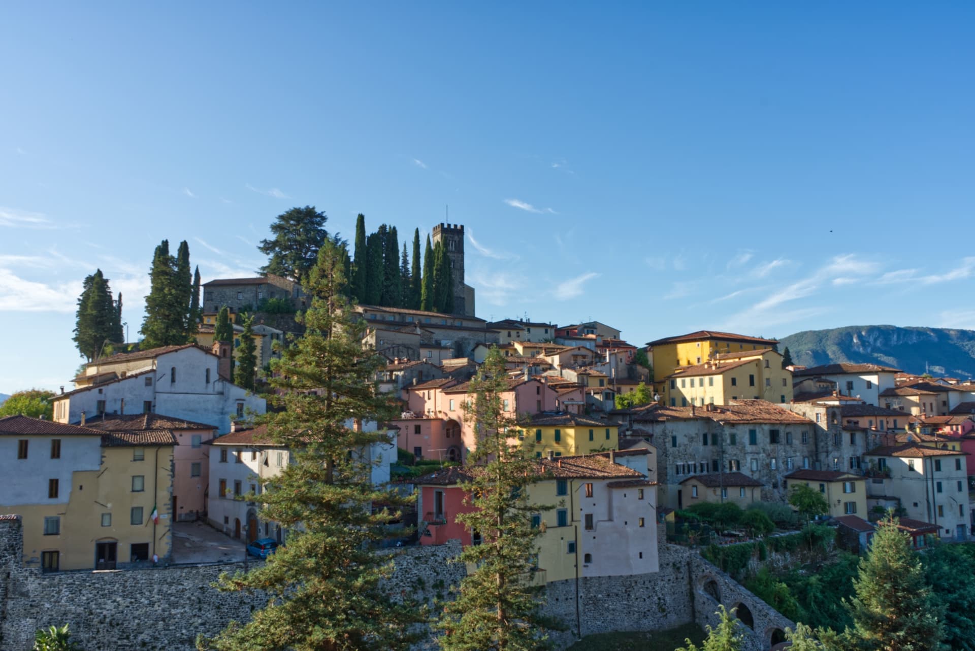
Montemerano
Small walled borgo east of Manciano, three concentric circles of streets and a fifteenth-century Madonna della Gattaiola in the parish church.
Chiesa di San Leonardo
Romanesque parish church inside the walls, rebuilt in the seventeenth century, with a fifteenth-century baptismal font in travertine.
Museo di Preistoria e Protostoria
Prehistory museum on the Albegna and Fiora valleys, with finds from Paleolithic through Etruscan occupation across the comune territory.
The slow-trip planner
Building a trip? Find where Manciano fits in a slow Italy circuit.
Answer five questions. We will shape a geographically coherent slow trip from the 1,000 Italian towns most travelers skip. Yours to save and share.
We recommend
Where to eat and stay
Not our picks, but places the guides put their name to — a Michelin star, a Gambero Rosso fork, a Slow Food snail, a Michelin Key for the hotels. Worth a table, a counter, or a night when you pass through.
CainoRistorante
Two Michelin stars for Caino, and a La Liste score of 90.
I Due Cippi dal 1976Ristorante
Two Gambero Rosso forks (82/100) for I Due Cippi dal 1976, and a spot in the Michelin Guide.
La FilandaRistorante
La Filanda has a spot in the Michelin Guide to its name.
Trattoria Da PaolinoTrattoria
Trattoria Da Paolino carries two Gambero Rosso prawns.
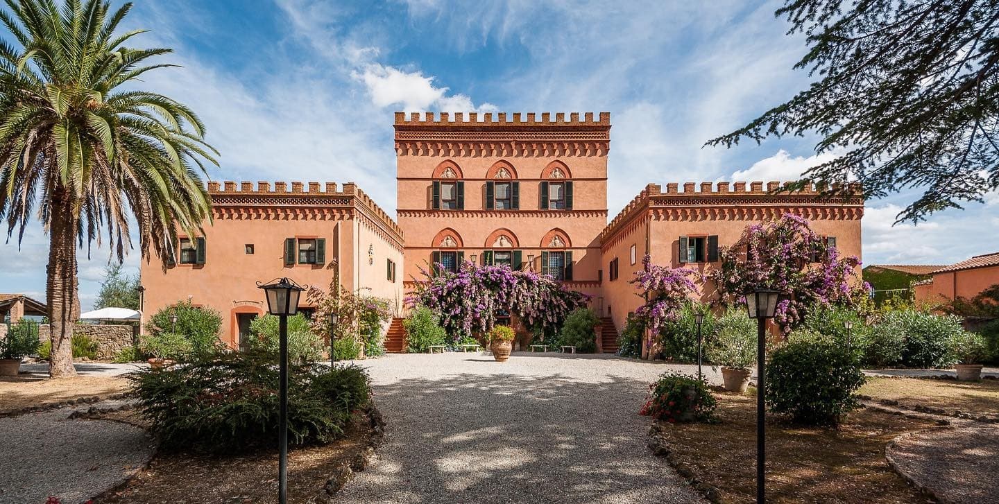
Terme di Saturnia Natural SPA & Golf ResortHotel
A Leading Hotels of the World listing, at Terme di Saturnia Natural SPA & Golf Resort.
The Sunday letter
Manciano got its letter. One town every Sunday, free — the photo, the food, the festa.
By subscribing you agree to Substack’s Terms of Use, our Privacy Policy and our Information collection notice.
Living here
- Population 7,052
- Off the beaten pathi
- Pharmacy in town
- High school within a 30-minute drive
- Nearest airport Rome, 2 h 23 min drive
- Regional capital Firenze, 3 h 6 min drive
Thermal baths in town: Cascate del Mulino, Terme di Saturnia.
Tags & datadesignations · numbers · sources
Recognised as
The numbers
- Elevation: 444 m
- Population: 7,052
- Surface area: 372.51 km²
These figures were compiled from public directories — ISTAT, OpenStreetMap, Wikidata — and from the official listings of the guides named on this page. Town details change; verify with official sources before you travel.
Featured on
Manciano appears on this themed pick from our Collections:
Close by
More towns near Manciano
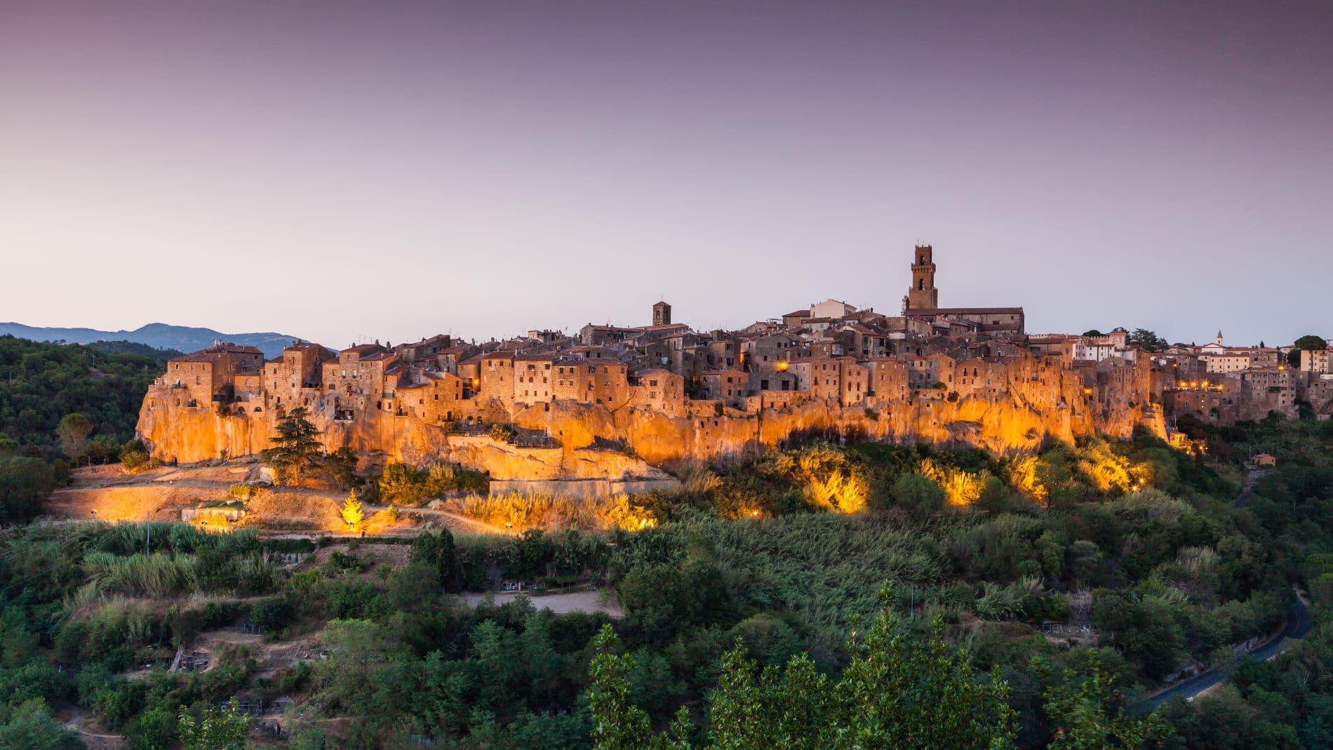
Pitigliano
Province: Grosseto
The Little Jerusalem of southern Tuscany, carved into a tuff spur in the Maremma, where the houses, the synagogue and the streets are all cut from the same volcanic rock.
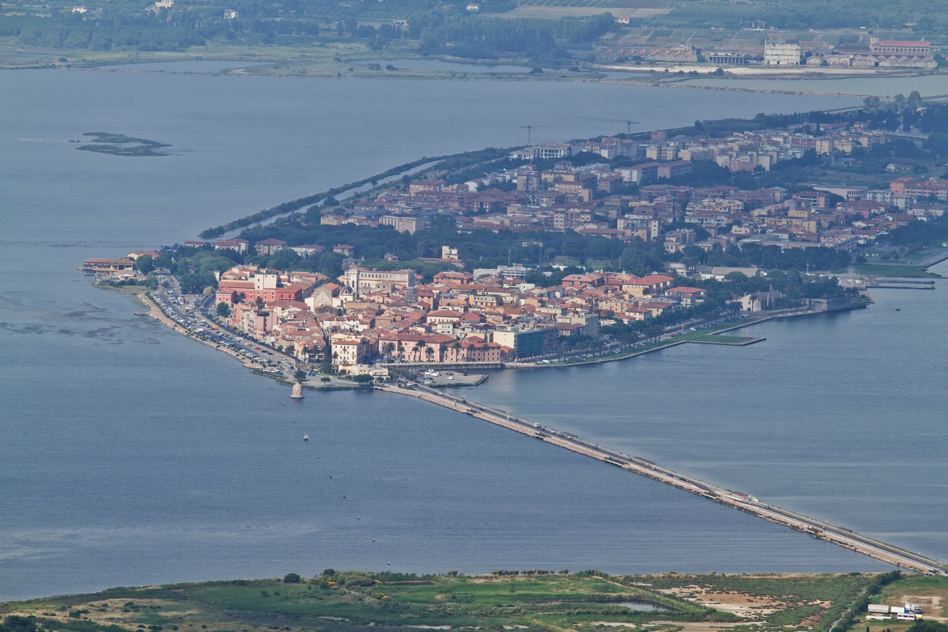
Orbetello
Province: Grosseto
A town on a narrow isthmus at the center of its own lagoon, fortified by Spain in 1557 and tied to Monte Argentario by two tombolos.
Capalbio
Province: Grosseto
A walled hilltop borgo at 217 meters in the southern Maremma, donated to the Abbey of Tre Fontane by Charlemagne and home of Niki de Saint Phalle's Tarot Garden.
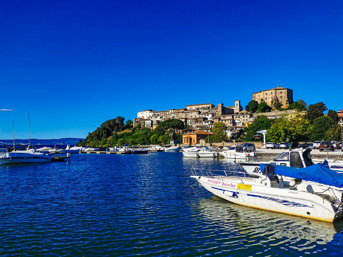
Capodimonte
Province: Viterbo
The lakefront Farnese stronghold on Lago di Bolsena — a small Tuscia borgo on a peninsula jutting into Europe's largest volcanic crater lake, with Antonio da Sangallo's octagonal Rocca Farnese, an extra-virgin olive oil tradition (Città dell'Olio), and views across the water to the inhabited Isola Bisentina.
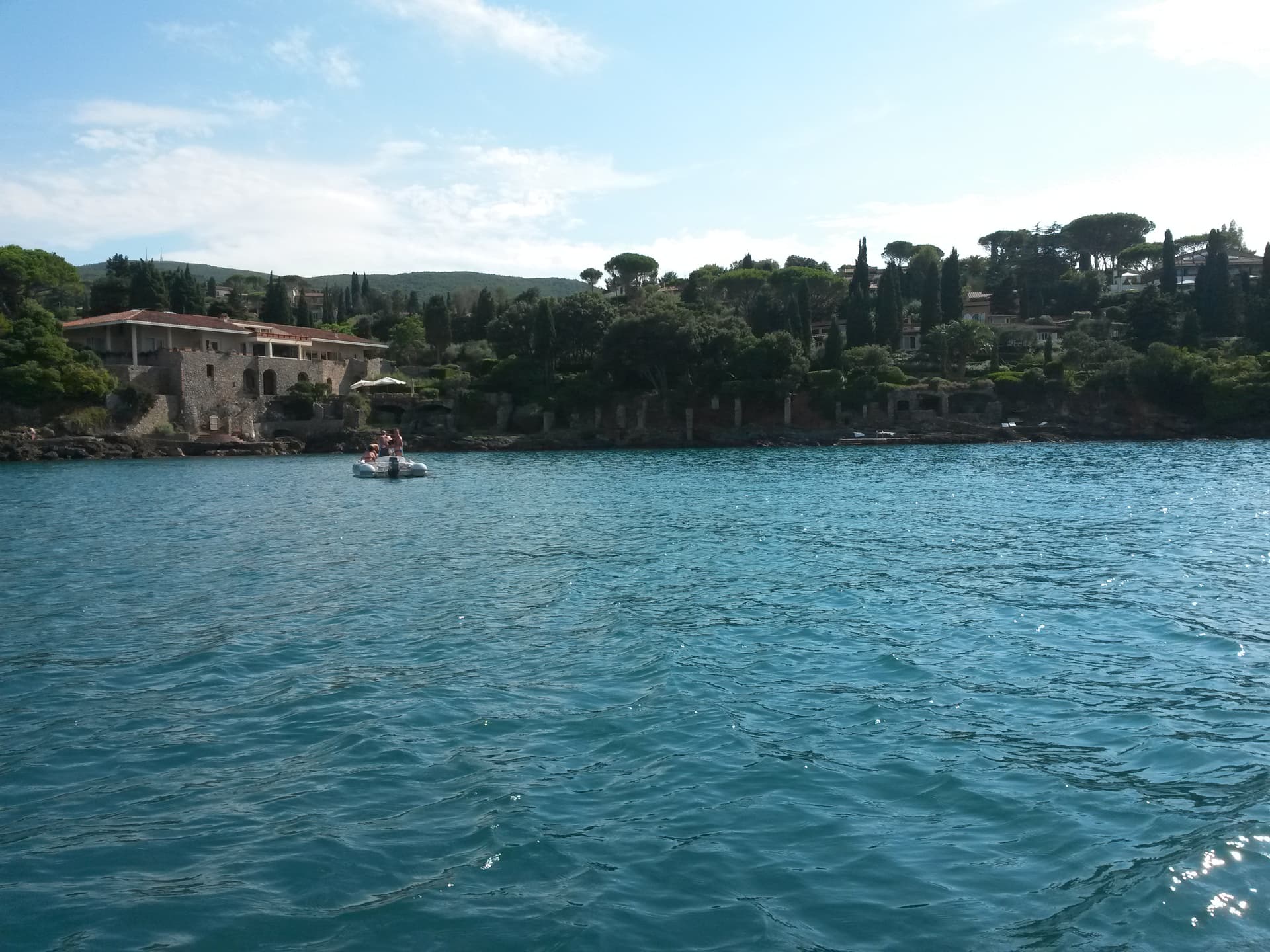
Monte Argentario
Province: Grosseto
A 635-meter peninsula tied to the mainland by three sand spits, ringed by Spanish forts and the place where Caravaggio died in 1610.
🎨 Borghi più belli d'Italia
More Borghi più belli d'Italia towns in Tuscany
Anghiari
Province: Arezzo
A walled medieval town at 430 meters over the upper Tiber valley, where Florence beat Milan in 1440 and Leonardo started the fresco he never finished.
Barga
Province: Lucca
A medieval hilltop town at 410 meters in the Serchio valley between the Apuan Alps and the Apennines, where Giovanni Pascoli wrote his last poems and the August festival serves fish and chips.
Buonconvento
Province: Siena
The walled brick borgo in the Crete Senesi where Emperor Henry VII died in 1313, on the Via Cassia at the confluence of the Arbia and Ombrone.
Campiglia Marittima
Province: Livorno
A walled hilltop borgo above the Val di Cornia, where the Rocca tower watches a mining landscape worked from the Etruscans to 1976.
Casale Marittimo
Province: Pisa
A concentric stone borgo at 214 meters above the Val di Cecina, built where a seventh-century BC Etruscan outpost of Volterra once stood.