
Tuscany · Livorno
Campiglia Marittima
A walled hilltop borgo above the Val di Cornia, where the Rocca tower watches a mining landscape worked from the Etruscans to 1976.
Known for
MINING LANDSCAPE
Continuous extraction of copper, silver, lead and tin from the Colline Metallifere from the Etruscans to 1976, now the Parco Archeominerario di San Silvestro.
ROCCA SAN SILVESTRO
Tenth-century miners' village in the park behind town, abandoned in the fourteenth century, excavated since 1984 and visited through restored mine galleries.
DOC VAL DI CORNIA
Wine appellation on the plain below town, Sangiovese and Cabernet red, Vermentino white, grown on the strip of land between hills and sea.
When to visit
Best · May–Sep
- J
- F
- M
- A
- M
- J
- J
- A
- S
- O
- N
- D
- Best
- Hot or crowded
- Quiet
- Mostly closed
Why come
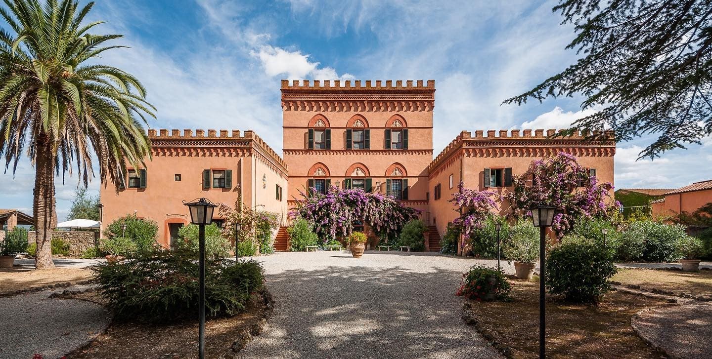
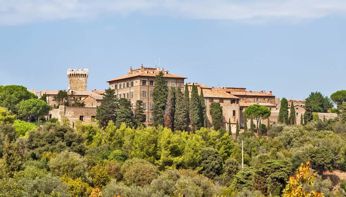
Campiglia Marittima sits on the last slopes of the Colline Metallifere above the Val di Cornia, eight kilometers inland from the Tyrrhenian coast and 60 kilometers southeast of Livorno. The Rocca occupies the highest point, a fortified semicircle whose 14th-century tower and town walls trace the medieval defensive line. The territory has been mined since the Etruscans: copper, silver, lead and tin from the hills behind town, worked continuously until the last galleries closed in 1976.
The Parco Archeominerario di San Silvestro, opened in 1996 on 450 hectares behind the town, centers on Rocca San Silvestro, a tenth and eleventh-century miners' village abandoned in the fourteenth century and excavated since 1984. Visitors enter through restored galleries on a small electric train. Down on the plain the DOC Val di Cornia produces Sangiovese and Cabernet, and the thermal springs at Venturina, the frazione south of town, have flowed since Roman use as Aquae Populoniae.
What to see
Rocca di Campiglia
Fortified semicircle at 281 meters with the 14th-century tower, walls and the Pieve di San Giovanni, the highest point of the town.
Parco Archeominerario di San Silvestro
450-hectare park behind town, opened 1996, with restored mining galleries, a small electric train, and the abandoned medieval miners' village of Rocca San Silvestro.
Centro storico
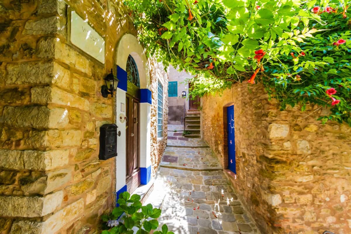
Walled hilltop borgo of stone houses, with Piazza della Repubblica at its center, the medieval gates Porta a Mare and Porta Fiorentina still intact.
Terme di Venturina
Thermal springs in the frazione of Venturina, used since Roman times as Aquae Populoniae, with sulfurous waters at 36 degrees year-round.
Pieve di San Giovanni
Romanesque parish church inside the Rocca walls, twelfth-century origin, with a marble architrave by an anonymous Pisan school sculptor.
The slow-trip planner
Building a trip? Find where Campiglia Marittima fits in a slow Italy circuit.
Answer five questions. We will shape a geographically coherent slow trip from the 1,000 Italian towns most travelers skip. Yours to save and share.
The Sunday letter
Campiglia Marittima got its letter. One town every Sunday, free — the photo, the food, the festa.
By subscribing you agree to Substack’s Terms of Use, our Privacy Policy and our Information collection notice.
Living here
- Population 12,429
- Off the beaten pathi
- Pharmacy in town
- High school within a 30-minute drive
- Train station in the comune
- Nearest airport Florence / Pisa, 1 h 20 min drive
- Regional capital Firenze, 2 h 5 min drive
Thermal baths in town: piscina termale calidario.
Tags & datadesignations · numbers · sources
The numbers
- Elevation: 231 m
- Population: 12,429
- Surface area: 83.28 km²
These figures were compiled from public directories — ISTAT, OpenStreetMap, Wikidata — and from the official listings of the guides named on this page. Town details change; verify with official sources before you travel.
Featured on
Campiglia Marittima appears on this themed pick from our Collections:
Close by
More towns near Campiglia Marittima
Piombino
Province: Livorno
A promontory port facing Elba across the channel, founded by refugees from Etruscan Populonia and now the Tuscan archipelago's ferry capital.
Suvereto
Province: Livorno
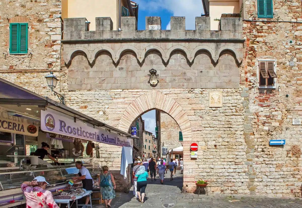
A stone borgo at 127 meters above the Val di Cornia, named for the cork oaks of its forests and ruled from the Rocca Aldobrandesca since 973.

Castagneto Carducci
Province: Livorno
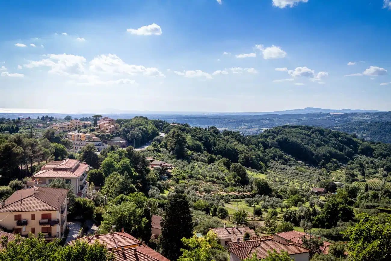
A hilltop borgo at 194 meters above the Costa degli Etruschi, renamed for the poet Carducci in 1907 and the home of Bolgheri and Sassicaia.
Montescudaio
Province: Pisa
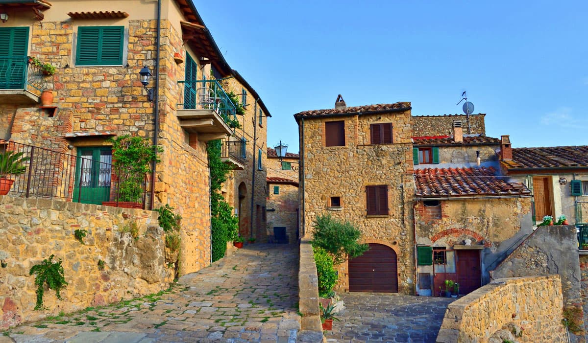
A fortified hill borgo at 242 meters above the Val di Cecina, named for a mountain of shields, with DOC wine since 1977 and bread, oil and grape all stamped in its identity.
Bibbona
Province: Livorno
An Etruscan-origin hill village above the Costa degli Etruschi, with a Romanesque parish church and a Lorraine-built coastal fort eight kilometers down the road at Marina di Bibbona.
🎨 Borghi più belli d'Italia
More Borghi più belli d'Italia towns in Tuscany
Anghiari
Province: Arezzo
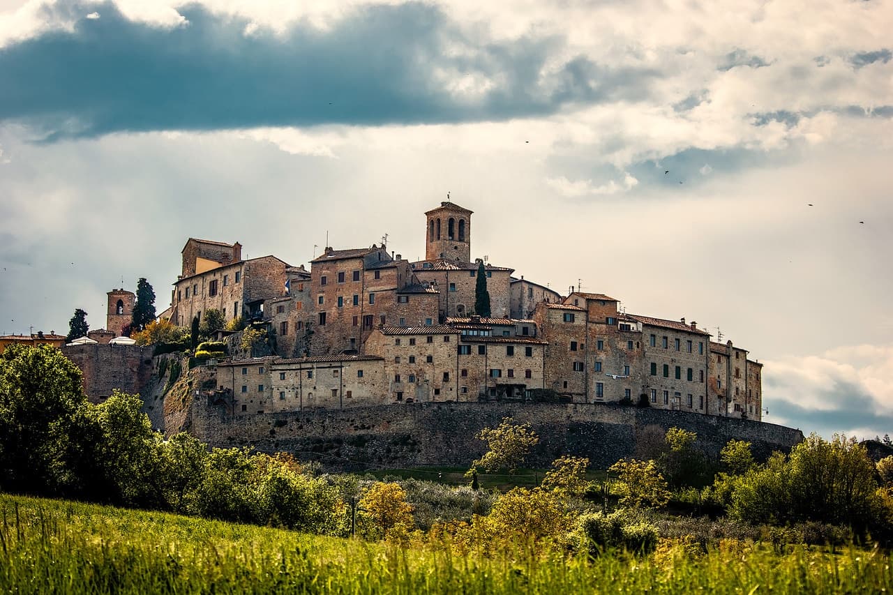
A walled medieval town at 430 meters over the upper Tiber valley, where Florence beat Milan in 1440 and Leonardo started the fresco he never finished.
Barga
Province: Lucca
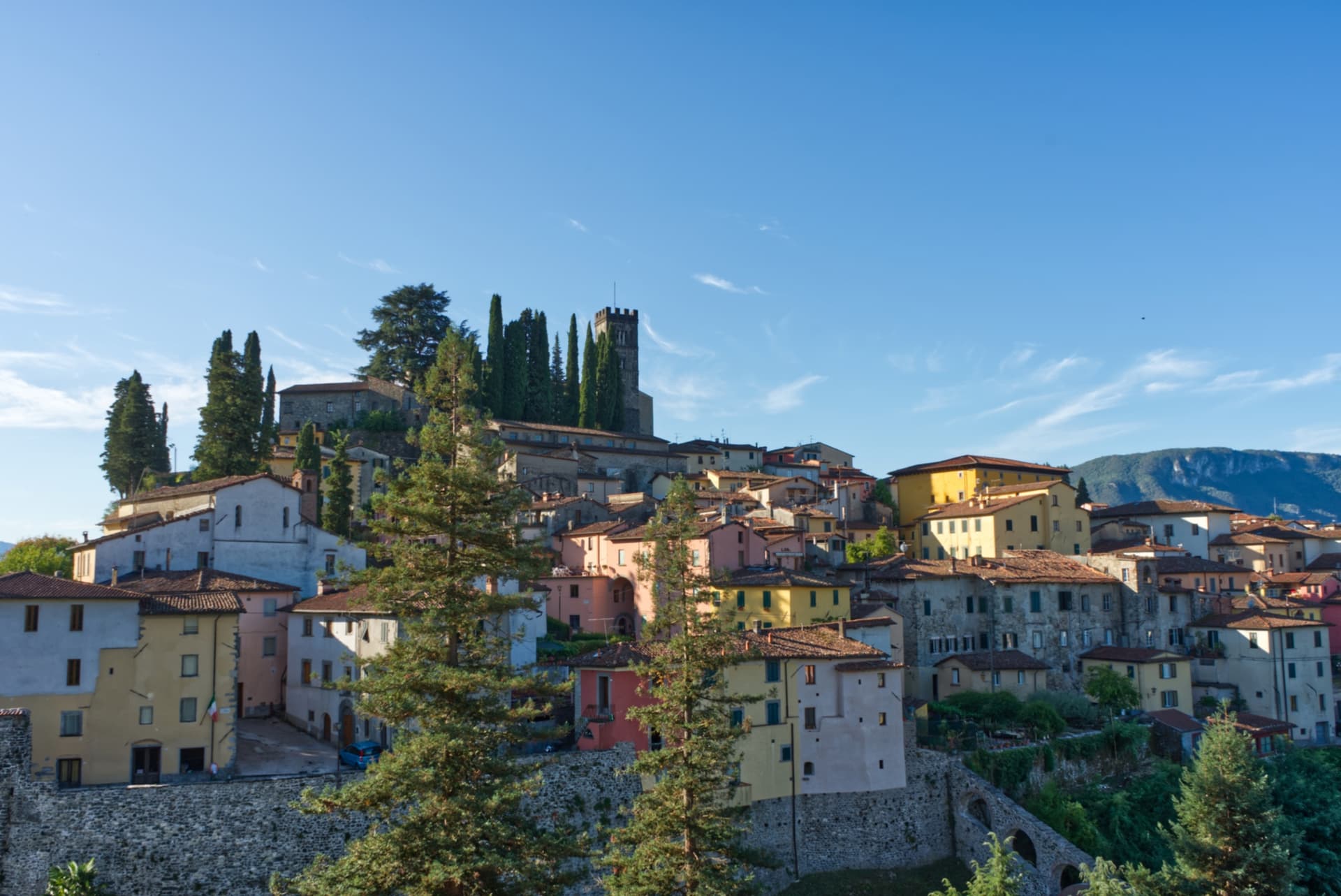
A medieval hilltop town at 410 meters in the Serchio valley between the Apuan Alps and the Apennines, where Giovanni Pascoli wrote his last poems and the August festival serves fish and chips.
Buonconvento
Province: Siena
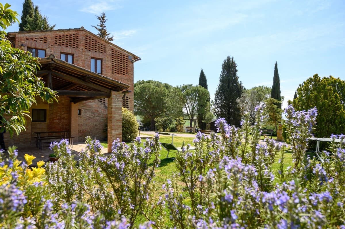
The walled brick borgo in the Crete Senesi where Emperor Henry VII died in 1313, on the Via Cassia at the confluence of the Arbia and Ombrone.
Capalbio
Province: Grosseto
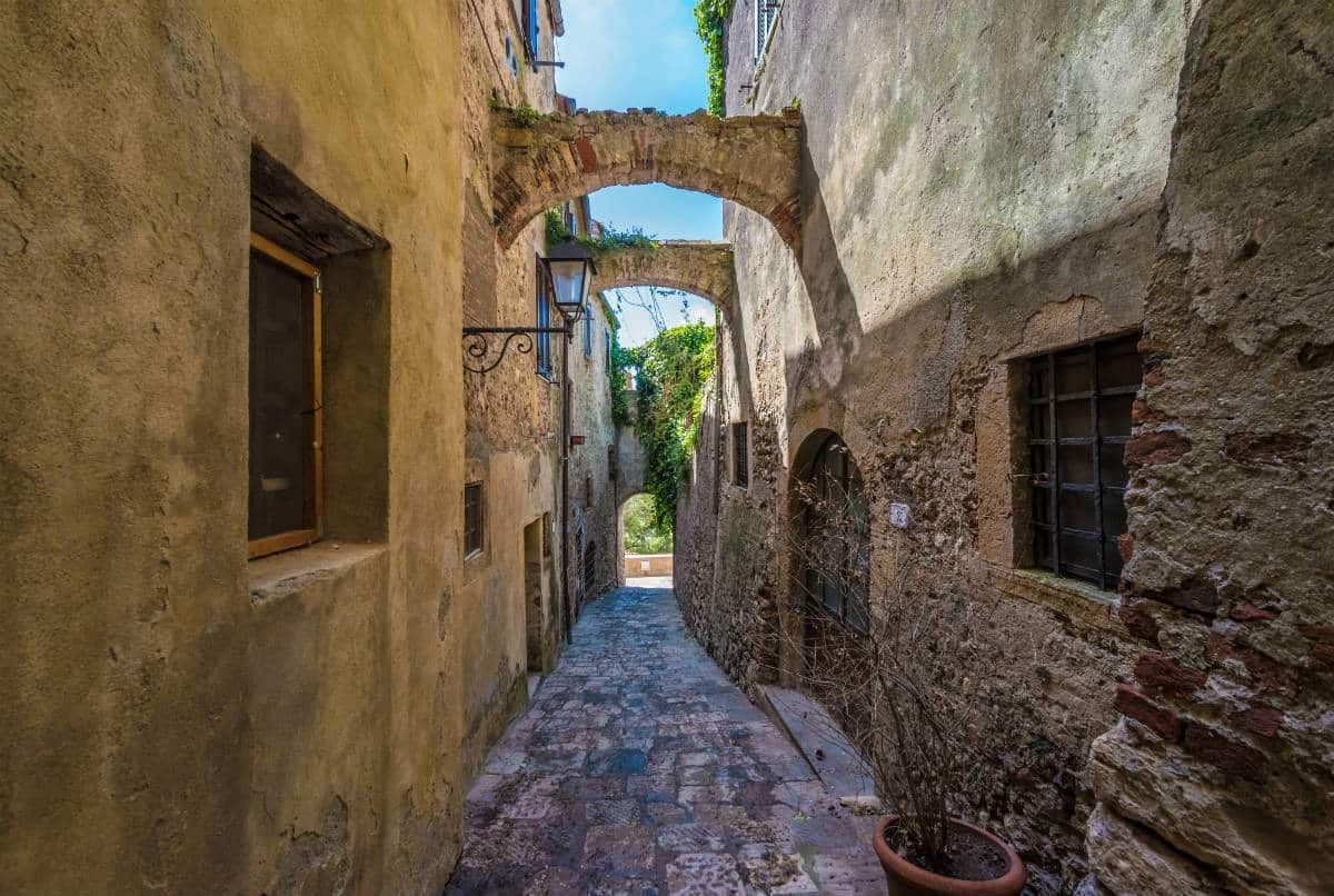
A walled hilltop borgo at 217 meters in the southern Maremma, donated to the Abbey of Tre Fontane by Charlemagne and home of Niki de Saint Phalle's Tarot Garden.
Casale Marittimo
Province: Pisa
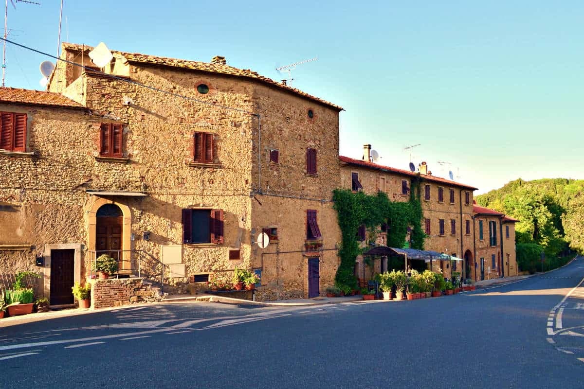
A concentric stone borgo at 214 meters above the Val di Cecina, built where a seventh-century BC Etruscan outpost of Volterra once stood.