
Tuscany · Livorno
Piombino
A promontory port facing Elba across the channel, founded by refugees from Etruscan Populonia and now the Tuscan archipelago's ferry capital.
Known for
ELBA GATEWAY
Ferry port for Portoferraio on Elba ten kilometers across the channel, with hourly crossings in summer to the Tuscan archipelago.
POPULONIA
Etruscan acropolis and necropolis on the Gulf of Baratti eight kilometers north, excavated from 1908, one of the most important Etruscan sites in Italy.
APPIANI SIGNORIA
Independent state from 1399 to 1634 under the Appiani, holding Piombino plus Elba, Pianosa and Montecristo, with its capital here.
When to visit
Best · May–Sep
- J
- F
- M
- A
- M
- J
- J
- A
- S
- O
- N
- D
- Best
- Hot or crowded
- Quiet
- Mostly closed
Why come
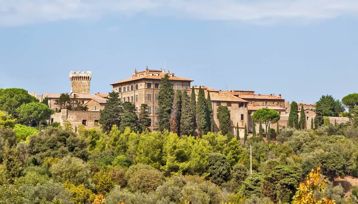
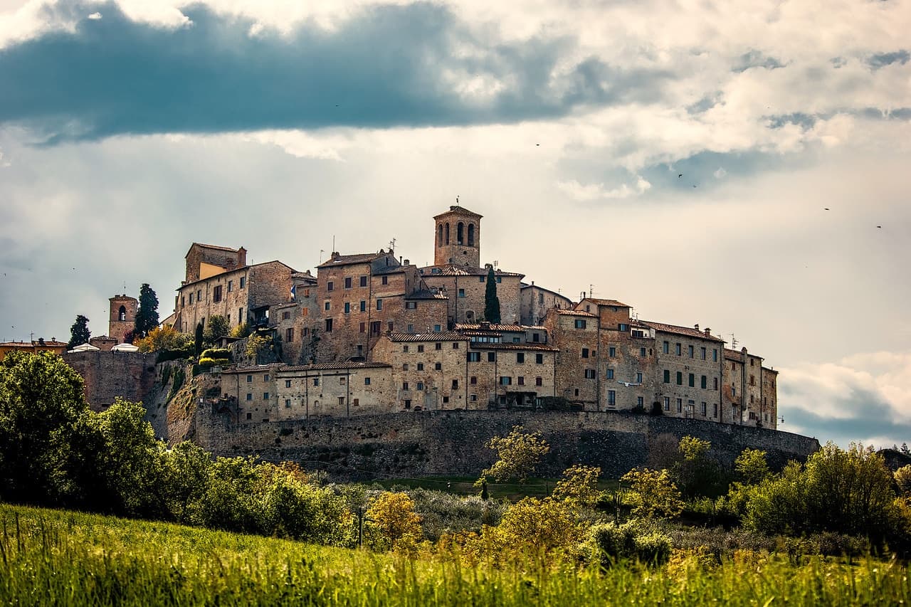
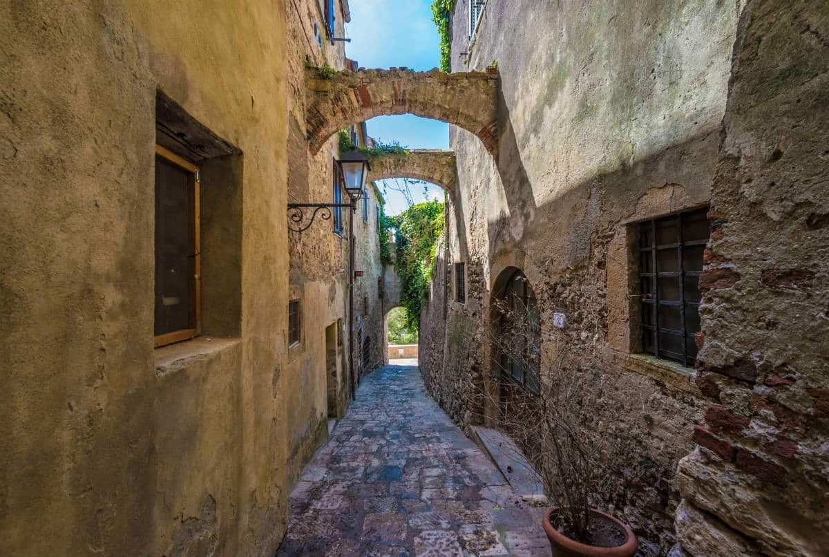
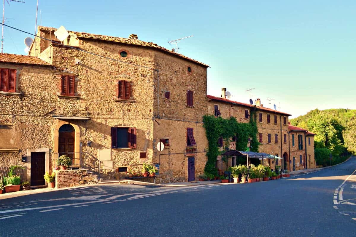
Piombino sits on a triangular promontory pointing southeast into the Tyrrhenian, ten kilometers across the channel from Elba and at the northern edge of the Maremma. The town was founded in the ninth century by refugees from the Etruscan port of Populonia after Greek pirates attacked the city; they called the new settlement Populino, small Populonia, and the name shortened over time. Populonia, now a frazione eight kilometers north on the Gulf of Baratti, holds one of the most important Etruscan necropoli in Italy, excavated from 1908 onward by Isidoro Falchi.
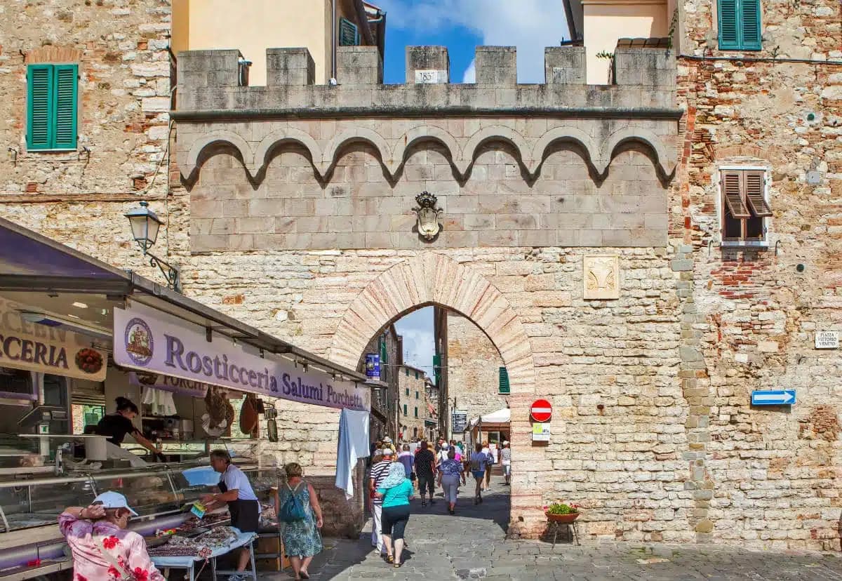
In the medieval period Piombino became an independent signoria under the Appiani, who held it from 1399 to 1634 as a small state including Elba and the islands of Pianosa and Montecristo. The Castello at the seafront, the Piazza Bovio terrace cantilevered out over the cliff toward Elba, and the working ferry port make up the contemporary town. The Bandiera Blu coast covers four kilometers north of the port toward the Baratti acropolis.

What to see
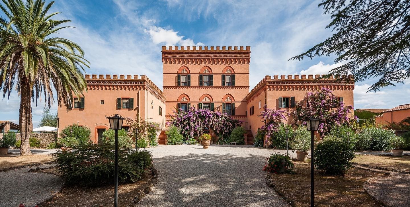
Castello di Piombino
Principal defensive fortress of the city on a headland pointing southeast into the sea, with the Torrione, the Rivellino and the Cittadella complex, now a museum.
Piazza Bovio
Long rocky breakwater extending into the sea as La Rocchetta, terraced as a piazza, with a balcony view across the channel to Elba.
Parco Archeologico di Baratti e Populonia
Etruscan necropolis and acropolis on the Gulf of Baratti, eight kilometers north, with chamber tombs from the seventh to second centuries BC.
Spiaggia di Baratti
Crescent black-sand beach on the Gulf of Baratti below the Etruscan acropolis, with the ferrous slag of the ancient ironworks still visible in the sand.
Cittadella
Renaissance citadel inside the Castello complex, commissioned by the Appiani, with the Cappella di Sant'Anastasia and the Casa delle Bifore.
Porto di Piombino
Working ferry port for Elba, Pianosa and the Tuscan archipelago, with crossings to Portoferraio every hour in season.
The slow-trip planner
Building a trip? Find where Piombino fits in a slow Italy circuit.
Answer five questions. We will shape a geographically coherent slow trip from the 1,000 Italian towns most travelers skip. Yours to save and share.
We recommend
Where to eat and stay
Not our picks, but places the guides put their name to — a Michelin star, a Gambero Rosso fork, a Slow Food snail, a Michelin Key for the hotels. Worth a table, a counter, or a night when you pass through.
Al BaccanaleRistorante
Al Baccanale holds a spot in the Michelin Guide.
Osteria La Torre di PopuloniaTrattoria
Osteria La Torre di Populonia carries two Gambero Rosso prawns.
Taverna dei BoncompagniRistorante
Taverna dei Boncompagni carries a Gambero Rosso listing.
The Sunday letter
Piombino got its letter. One town every Sunday, free — the photo, the food, the festa.
By subscribing you agree to Substack’s Terms of Use, our Privacy Policy and our Information collection notice.
Living here
- Population 32,194
- Off the beaten pathi
- Pharmacy in town
- High school within a 30-minute drive
- Train station in the comune
- Nearest airport Florence / Pisa, 1 h 30 min drive
- Regional capital Firenze, 2 h 15 min drive
Tags & datadesignations · numbers · sources
The numbers
- Elevation: 21 m
- Population: 32,194
- Surface area: 129.88 km²
These figures were compiled from public directories — ISTAT, OpenStreetMap, Wikidata — and from the official listings of the guides named on this page. Town details change; verify with official sources before you travel.
Close by
More towns near Piombino
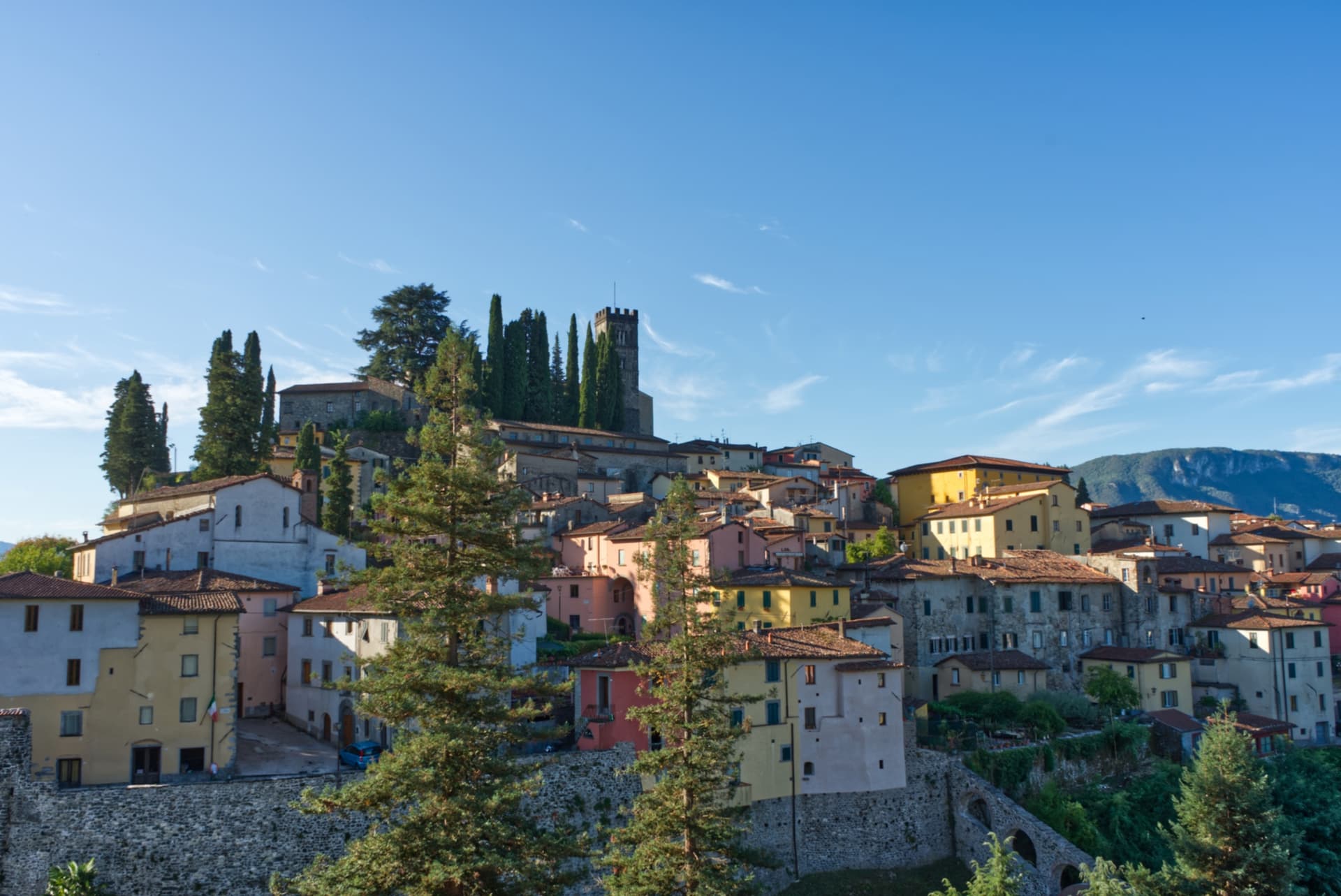
Campiglia Marittima
Province: Livorno
A walled hilltop borgo above the Val di Cornia, where the Rocca tower watches a mining landscape worked from the Etruscans to 1976.
Suvereto
Province: Livorno
A stone borgo at 127 meters above the Val di Cornia, named for the cork oaks of its forests and ruled from the Rocca Aldobrandesca since 973.

Castagneto Carducci
Province: Livorno
A hilltop borgo at 194 meters above the Costa degli Etruschi, renamed for the poet Carducci in 1907 and the home of Bolgheri and Sassicaia.

Massa Marittima
Province: Grosseto
A medieval mining town at 380 meters in the Colline Metallifere, free commune from 1255 to 1337, whose cathedral holds the relics of San Cerbone.
Montescudaio
Province: Pisa
A fortified hill borgo at 242 meters above the Val di Cecina, named for a mountain of shields, with DOC wine since 1977 and bread, oil and grape all stamped in its identity.
🎨 Borghi più belli d'Italia
More Borghi più belli d'Italia towns in Tuscany
Anghiari
Province: Arezzo
A walled medieval town at 430 meters over the upper Tiber valley, where Florence beat Milan in 1440 and Leonardo started the fresco he never finished.
Barga
Province: Lucca
A medieval hilltop town at 410 meters in the Serchio valley between the Apuan Alps and the Apennines, where Giovanni Pascoli wrote his last poems and the August festival serves fish and chips.
Buonconvento
Province: Siena
The walled brick borgo in the Crete Senesi where Emperor Henry VII died in 1313, on the Via Cassia at the confluence of the Arbia and Ombrone.
Capalbio
Province: Grosseto
A walled hilltop borgo at 217 meters in the southern Maremma, donated to the Abbey of Tre Fontane by Charlemagne and home of Niki de Saint Phalle's Tarot Garden.
Casale Marittimo
Province: Pisa
A concentric stone borgo at 214 meters above the Val di Cecina, built where a seventh-century BC Etruscan outpost of Volterra once stood.