

Lombardy · Mantova
Pomponesco
A Mantova river village on the Po's left bank, with a late-Cinquecento Gonzaga grid and arcaded central piazza.
Known for
GONZAGA GRID
Town plan reorganized by Giulio Cesare Gonzaga in the late sixteenth century, with the four quarters and crossing axes still legible.
PO RIVER
Position on the left bank of the Po, with the marina and the embankment shaping the village's history of river trade.
ARCADED PIAZZA
Piazza XXIII Aprile lined with 1590-1630 palaces, many retaining original wooden ceilings and, in rare cases, original frescoes.
When to visit
Best · Apr–Jun, Sep–Oct
- J
- F
- M
- A
- M
- J
- J
- A
- S
- O
- N
- D
- Best
- Hot or crowded
- Quiet
- Mostly closed
The festa: Felicita e figli, 10 July
Why come
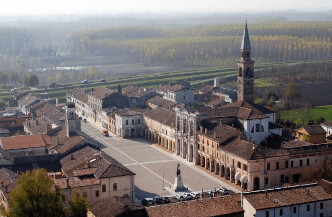
Pomponesco lies on the left bank of the Po, at the southern edge of Mantova province twenty-five kilometers north of Parma. The Roman Pompea family gave it its name; the Etruscans and Gauls held it before. The defining figure is Giulio Cesare Gonzaga, who at the end of the sixteenth century reorganized the small river village around two crossing axes radiating from a central castle, dividing the town into four symmetrical quarters that survive intact.
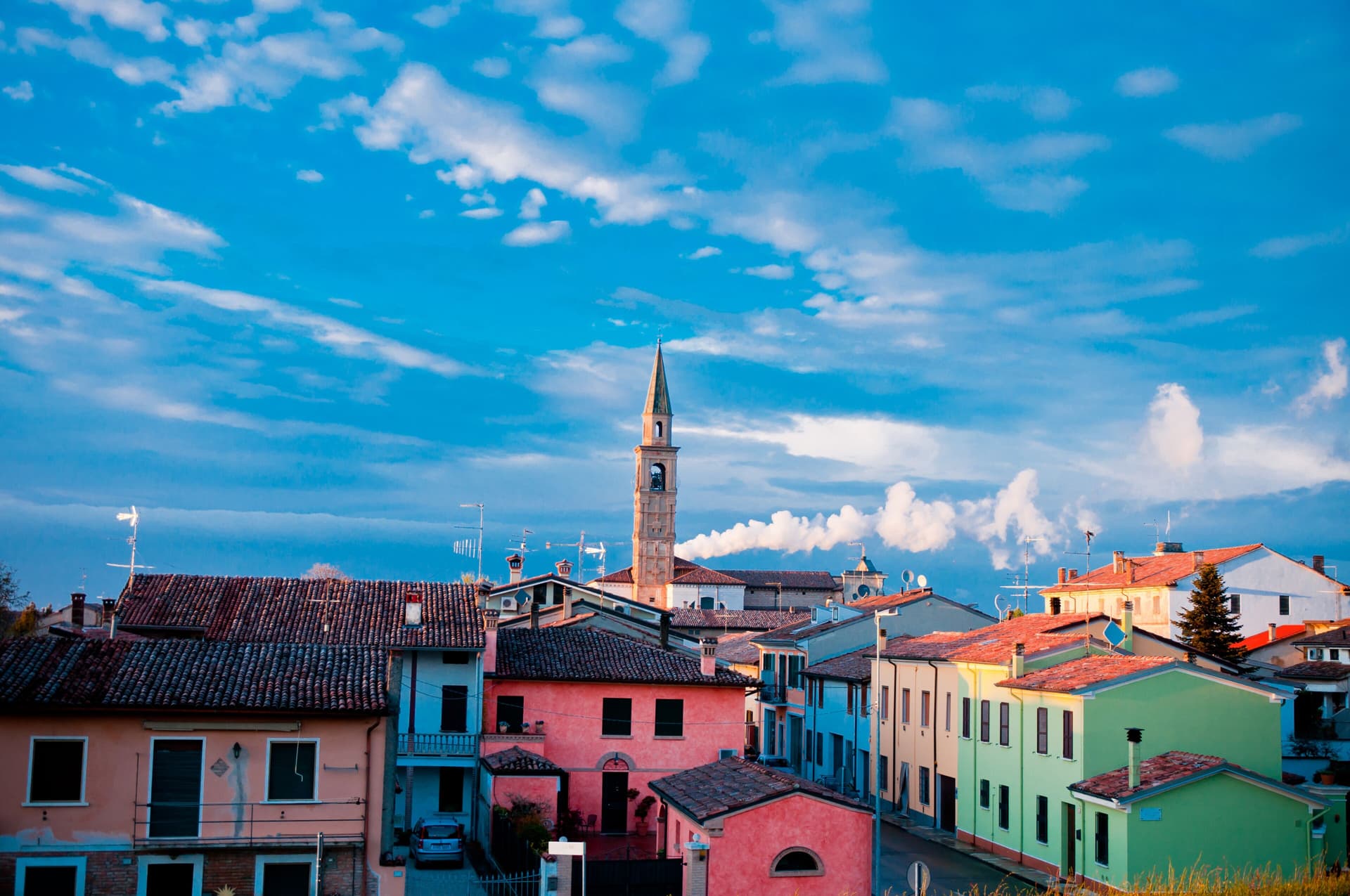
The castle itself was demolished by French troops in the eighteenth century. In its place opened Piazza XXIII Aprile, surrounded by arcaded palaces where Gonzaga courtiers once lived. Most of these buildings date between 1590 and 1630, and a number still retain original wooden ceilings and rare original frescoes. The bell tower of the Comune and the campanile of the Chiesa di Santa Felicita e dei Sette Martiri face each other across the square, almost in competition, before the perspective narrows toward the river embankment and the Po itself.
The Sunday letter
We haven’t written Pomponesco’s letter yet.
One town every Sunday, with the photo, the food, the festa. Be there when this one comes up. Free, by Peter & Sophia from Pietrasanta.
By subscribing you agree to Substack’s Terms of Use, our Privacy Policy and our Information collection notice.
What to see
Piazza XXIII Aprile
Arcaded square where the Gonzaga castle stood until the French demolition in the eighteenth century, lined with late-sixteenth-century courtier palaces.
Chiesa di Santa Felicita e dei Sette Martiri
Parish church on the central square, with a tall bell tower facing the town hall across the piazza.
Late-Cinquecento Gonzaga plan
Town grid laid out by Giulio Cesare Gonzaga at the end of the sixteenth century, with two axes dividing the village into four symmetrical quarters.
Po embankment
River frontage with the local marina, the perspective onto which the Gonzaga grid was deliberately aligned.
The slow-trip planner
Building a trip? Find where Pomponesco fits in a slow Italy circuit.
Answer five questions. We will shape a geographically coherent slow trip from the 1,000 Italian towns most travelers skip. Yours to save and share.
Living here
- Population 1,683
- In-betweeni
- Pharmacy in town
- High school within a 30-minute drive
- Nearest airport Bologna, 1 h 21 min drive
- Regional capital Milano, 2 h 2 min drive
Tags & datadesignations · numbers · sources
Recognised as
The numbers
- Elevation: 21 m
- Population: 1,683
- Surface area: 12.56 km²
These figures were compiled from public directories — ISTAT, OpenStreetMap, Wikidata — and from the official listings of the guides named on this page. Town details change; verify with official sources before you travel.
Close by
More towns near Pomponesco
Sabbioneta
Province: Mantova
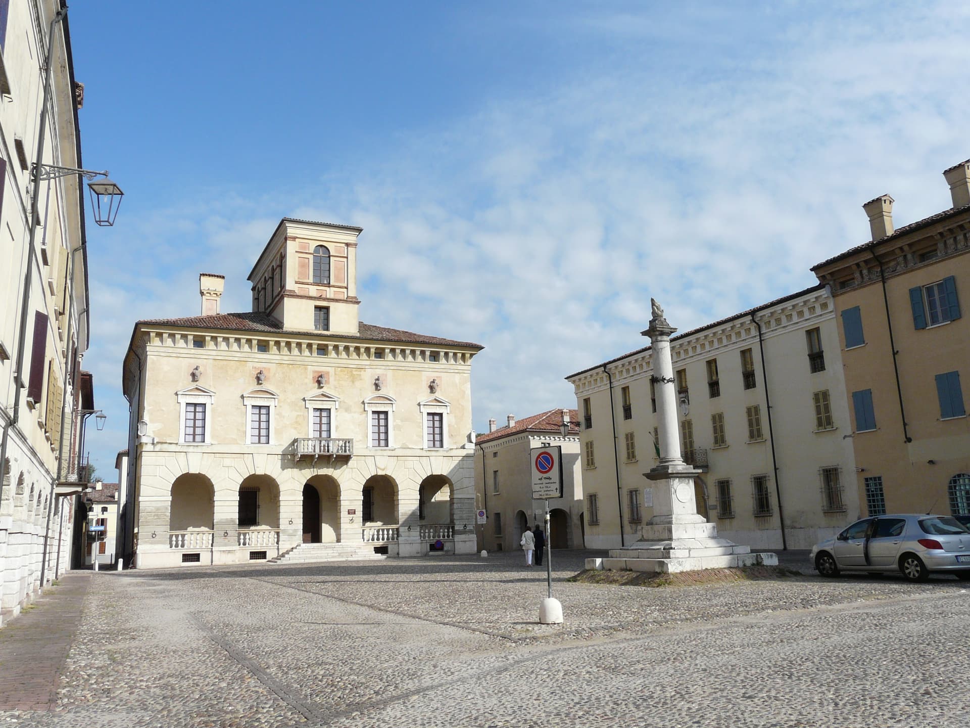
A Renaissance ideal city on the Po, built in thirty years by Vespasiano I Gonzaga and laid out as a six-pointed star.
Gualtieri
Province: Reggio nell'Emilia
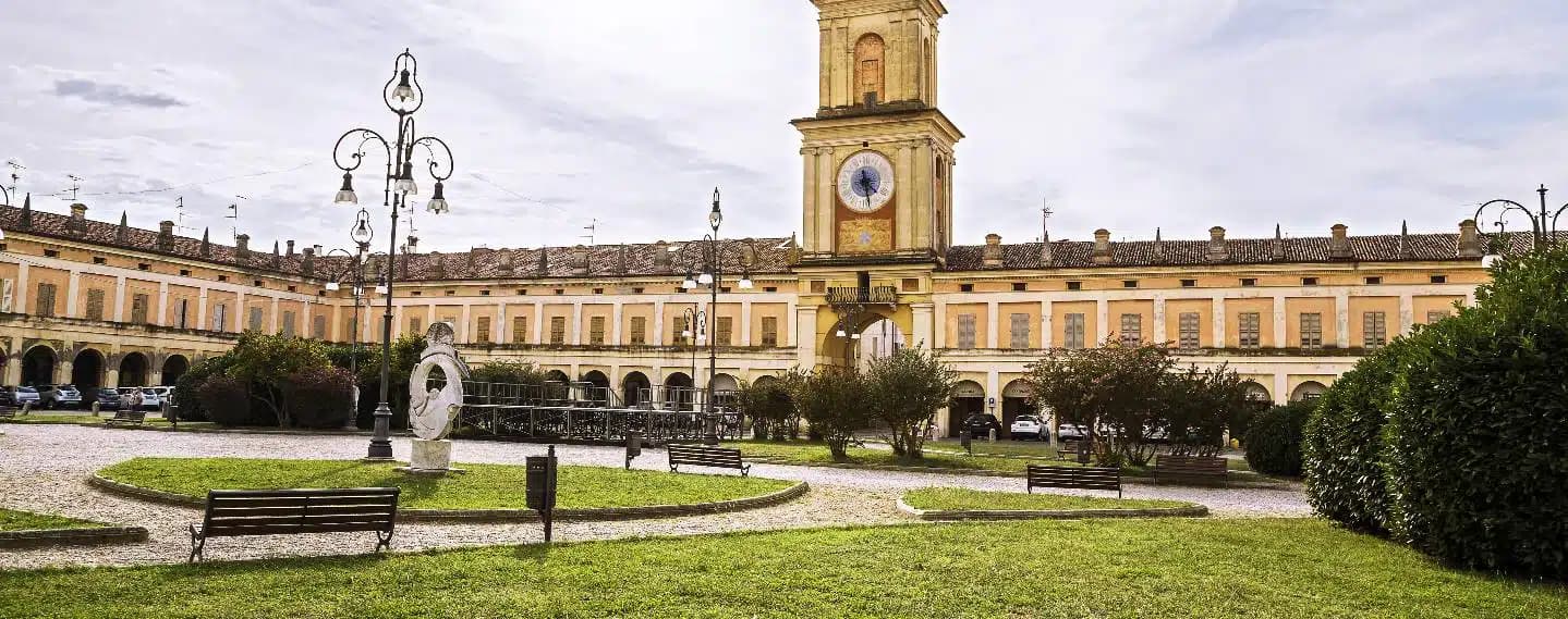
A right-bank Po commune in the Reggiana lowlands, built around a hundred-meter-square arcaded piazza and the Bentivoglio palace that holds the Ligabue collection.
Curtatone
Province: Mantova
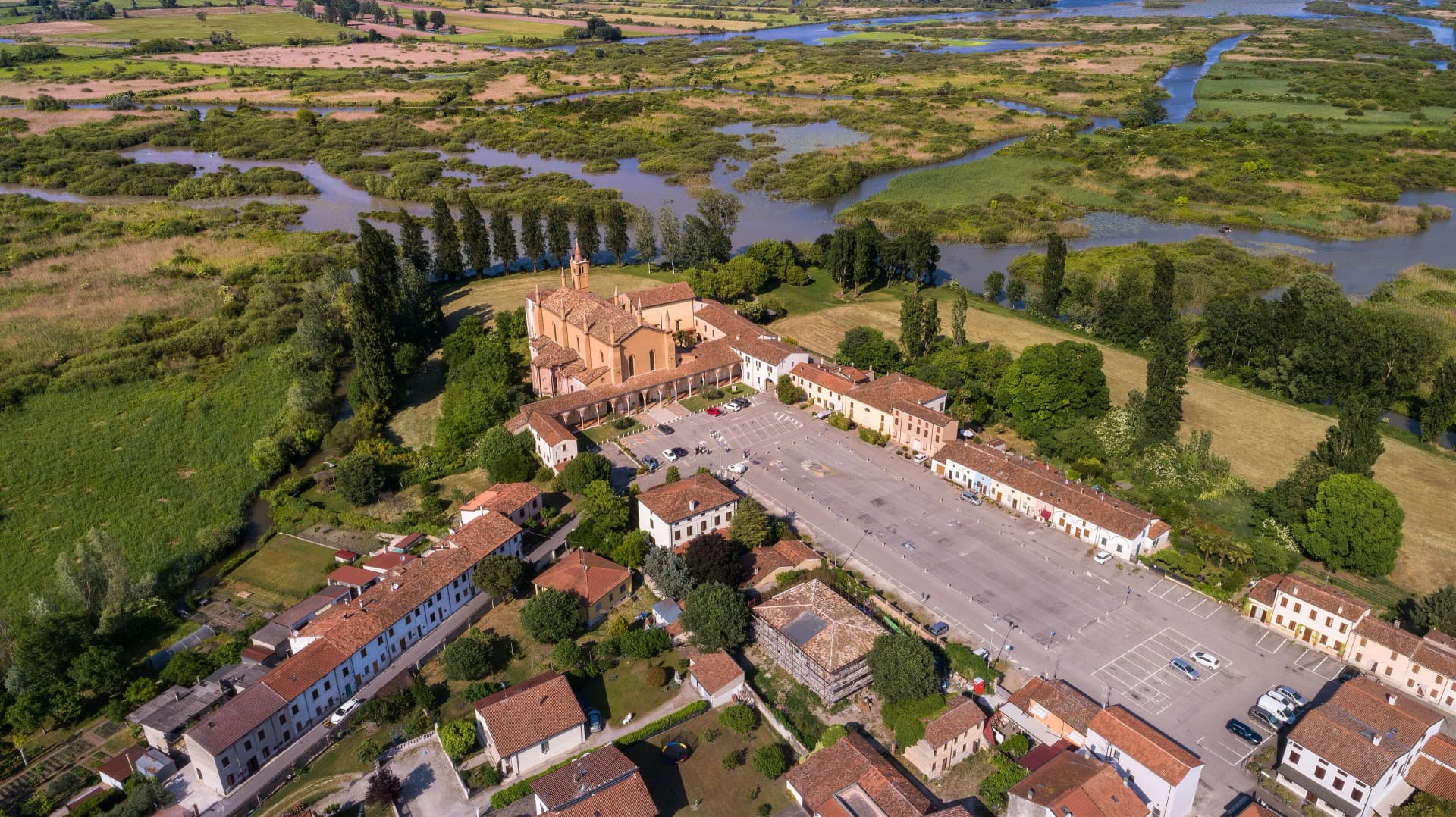
A commune of eight frazioni west of Mantova, anchored by the Grazie sanctuary and the 1848 battle that delayed Radetzky's advance.
San Benedetto Po
Province: Mantova
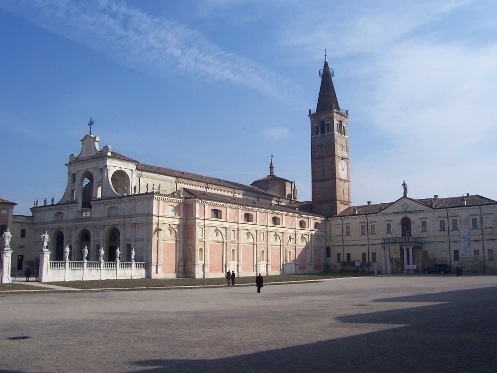
The town that grew up around Polirone, the abbey founded in 1007 by the Canossa family, where Matilda of Canossa was buried for five centuries.
Parma
Province: Parma
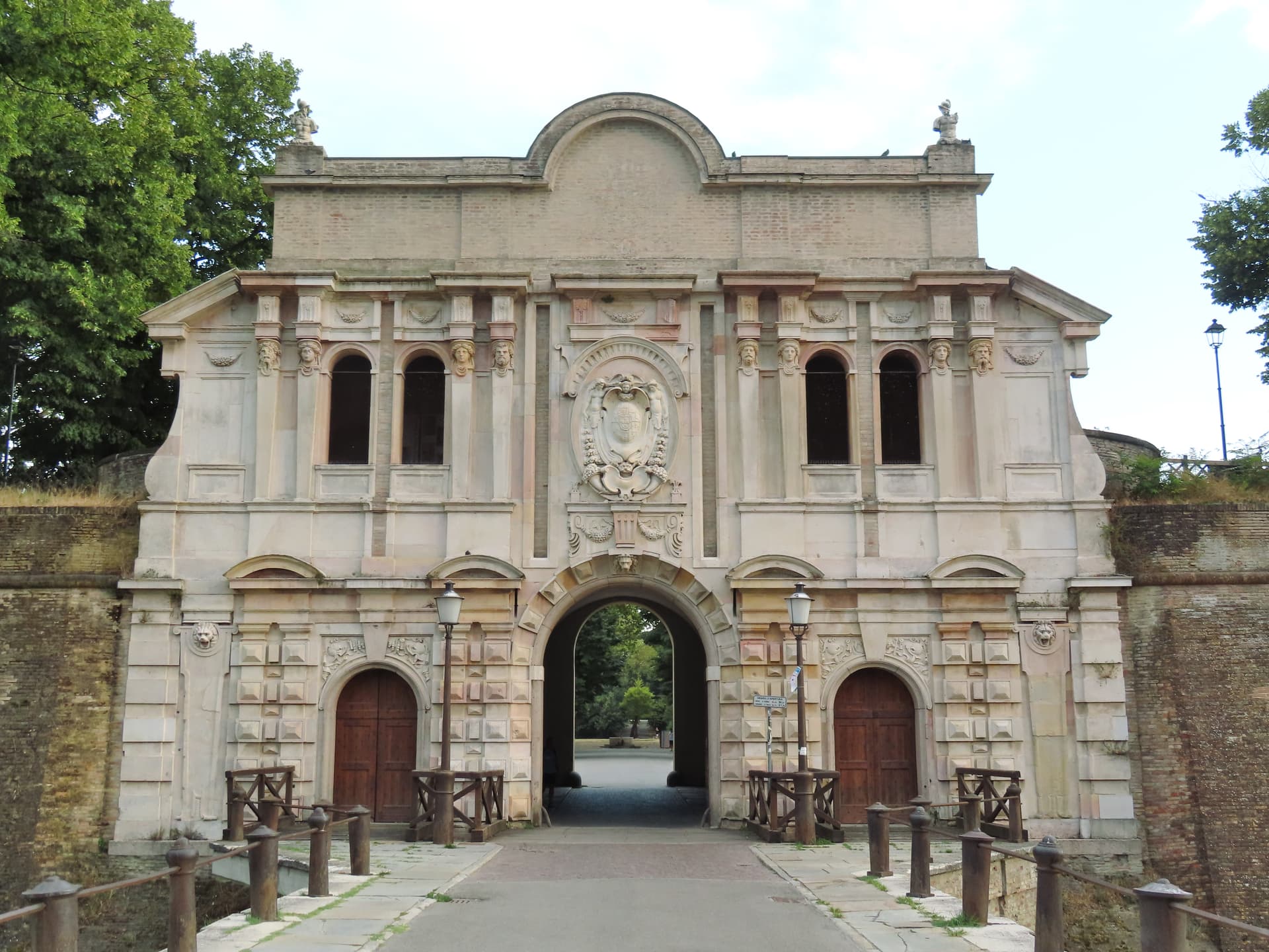
A 57-meter Po-plain capital on the Via Emilia, where Correggio painted the Duomo dome and Parmigiano ages in vaults across the province.
🎨 Borghi più belli d'Italia
More Borghi più belli d'Italia towns in Lombardy
Bagolino
Province: Brescia
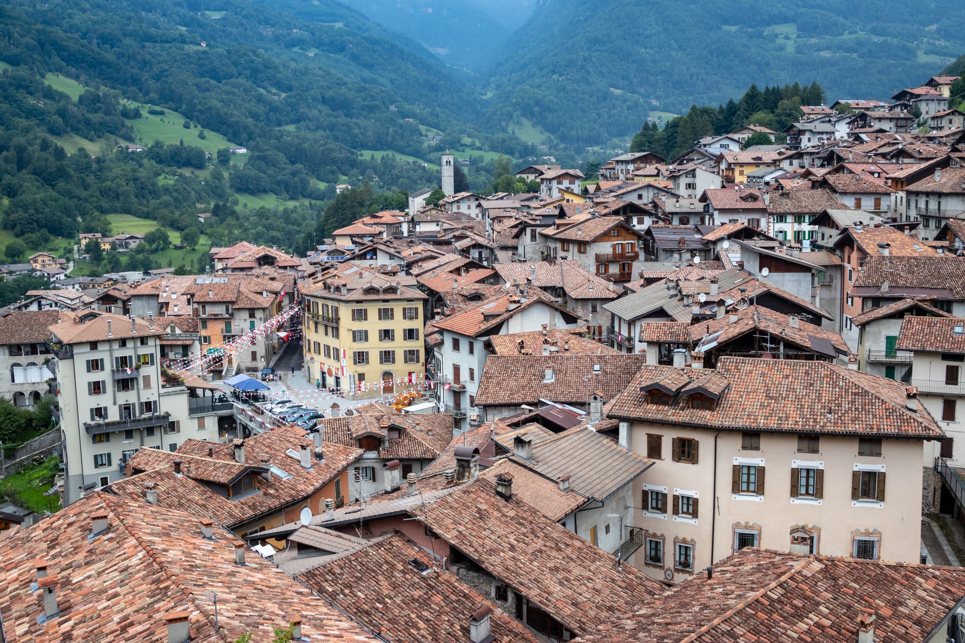
A mountain village at 778 meters in the Valle del Caffaro, with a three-day February carnival of masked dancers and violins.
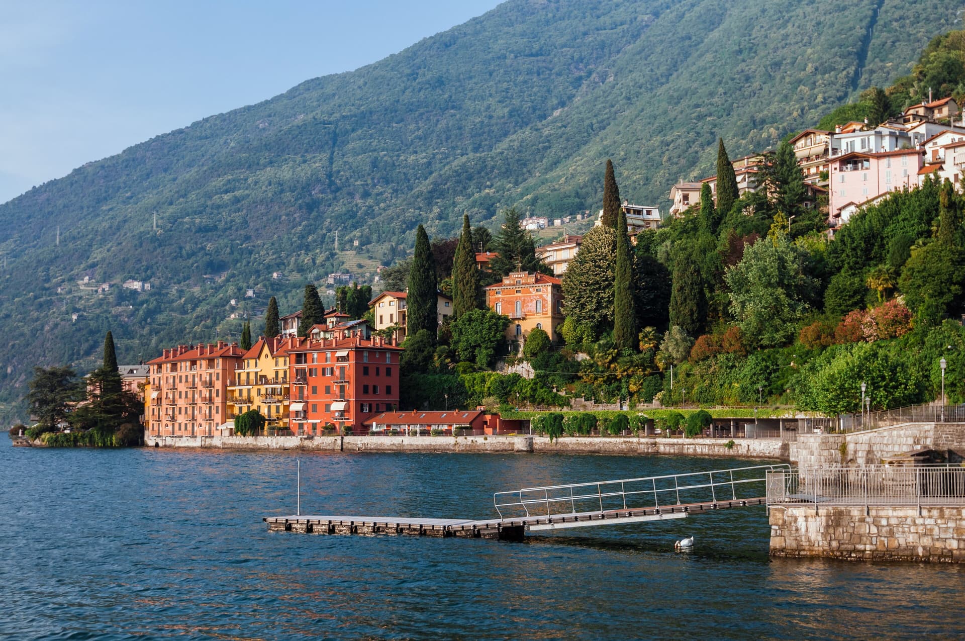
Bellano
Province: Lecco
An eastern Lake Como town where the Pioverna cut a gorge through fifteen million years of rock before reaching the lake.
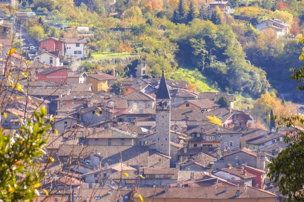
Bienno
Province: Brescia
A medieval ironworking village in the Val Camonica, where water hammers driven by the Grigna stream have shaped wrought iron since the 1200s.
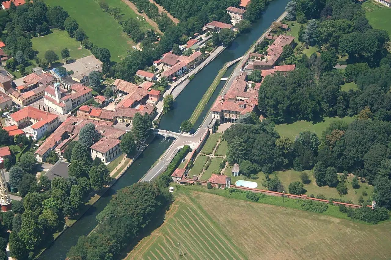
Cassinetta di Lugagnano
Province: Milano
A Naviglio Grande commune west of Milan with fifteen ville di delizia and Italy's first zero-growth urban plan, adopted in 2007.
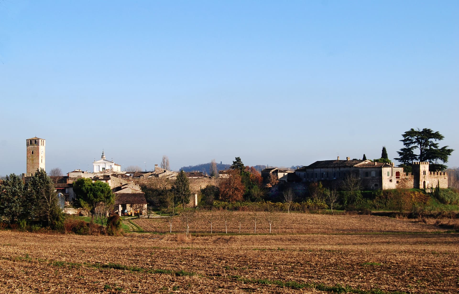
Castellaro Lagusello
Province: Mantova
A walled medieval borgo south of Lake Garda, ringed by 13th-century stone walls and overlooking a small heart-shaped natural lake that gives the village its second name and most-photographed silhouette.