
Lombardy · Brescia
Cimbergo
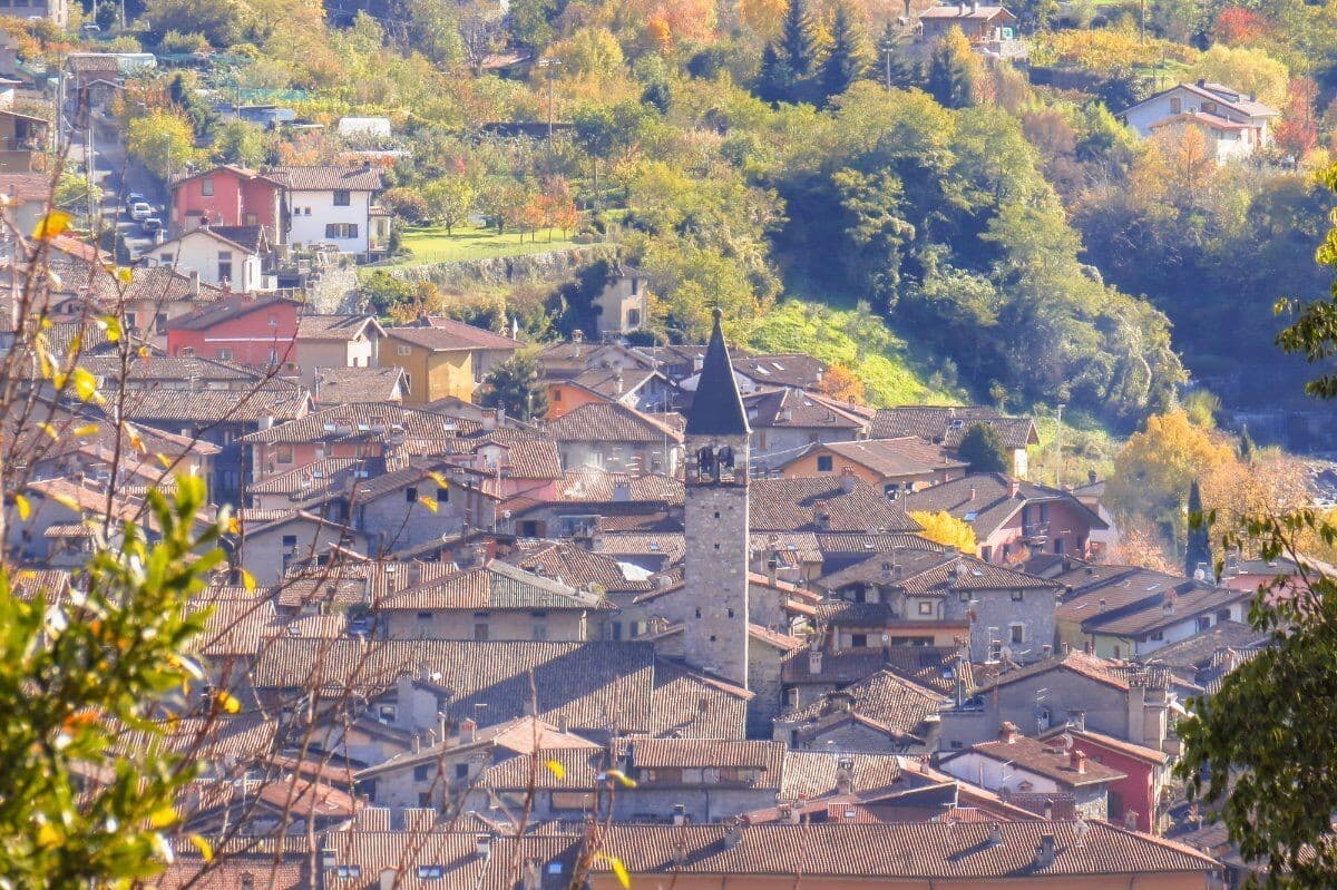
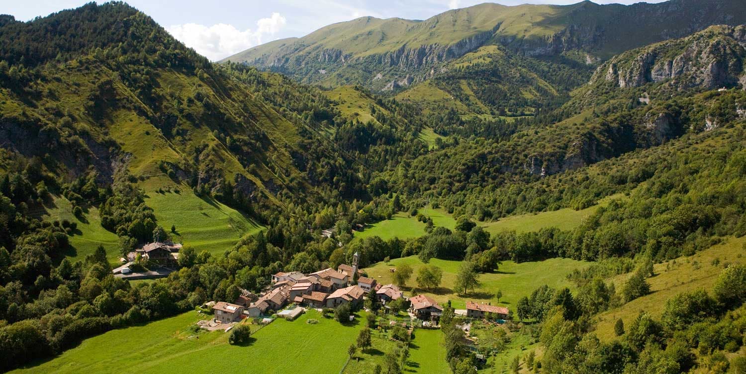
A village of 533 at 851 meters above the Oglio, with castle ruins on a spur and UNESCO petroglyphs on the slopes below.
Known for
UNESCO ROCK ART
Engraved surfaces in the Ceto-Cimbergo-Paspardo reserve, part of Italy's first UNESCO World Heritage site from 1979.
CASTELLO RUINS
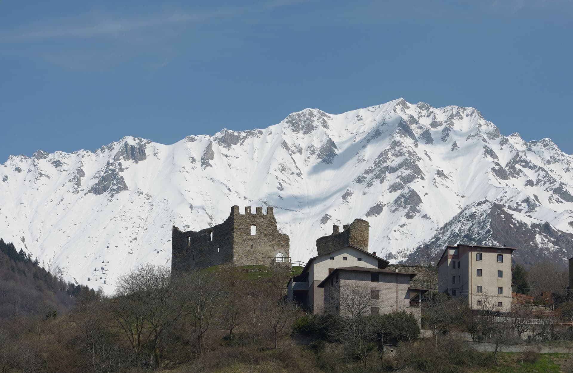
Medieval castle on the rock spur above the village, host to the 1378 Guelph-Ghibelline parley and the 1430 Venetian investiture of the Cemmo-Cimbergo county.
851 METERS
Balcony altitude above the Oglio, with views across the valley and access to high pasture on the flanks of the Concarena.
When to visit
Best · May–Oct
- J
- F
- M
- A
- M
- J
- J
- A
- S
- O
- N
- D
- Best
- Hot or crowded
- Quiet
- Mostly closed
Why come
Cimbergo holds a balcony position at 851 meters above the Oglio, looking across Val Camonica toward Paspardo and Capo di Ponte. The reason most visitors climb up here is the Riserva Naturale delle Incisioni Rupestri di Ceto, Cimbergo e Paspardo, the UNESCO-listed rock-art protected area that shares its name with the commune. On a granite spur above the village stand the ruins of the medieval Castello, where in 1378 Guelphs and Ghibellines of Val Camonica met to attempt a peace, and where in 1430 Bartolomeo of Cemmo received the investiture of the Cemmo-Cimbergo county from Venice.
The frazioni Cimbergo and Paspardo were united and re-divided more than once between 1805 and 1947. Today the village keeps its narrow lanes and stacked stone houses, and the surrounding woods open onto sandstone outcrops covered in figures cut between the Neolithic and the Iron Age.
The Sunday letter
We haven’t written Cimbergo’s letter yet.
One town every Sunday, with the photo, the food, the festa. Be there when this one comes up. Free, by Peter & Sophia from Pietrasanta.
By subscribing you agree to Substack’s Terms of Use, our Privacy Policy and our Information collection notice.

What to see
Castello di Cimbergo
Ruined medieval castle on a granite outcrop above the village, site of the 1378 peace attempt between Guelphs and Ghibellines of Val Camonica.
Incisioni rupestri di Cimbergo
Sector of the UNESCO Ceto-Cimbergo-Paspardo reserve, with engraved surfaces accessible from marked paths below the village.
Chiesa di San Martino
Parish church at the center of the village, with a bell tower visible from the valley floor.
Balcony view over Val Camonica
The piazza and the lanes around the castle ruins give a clean line of sight across the Oglio valley toward Paspardo.
The slow-trip planner
Building a trip? Find where Cimbergo fits in a slow Italy circuit.
Answer five questions. We will shape a geographically coherent slow trip from the 1,000 Italian towns most travelers skip. Yours to save and share.
Living here
- Population 533
- Very remotei
- Pharmacy in town
- Nearest high school over ~30 minutes away
- Nearest airport Milan, 1 h 52 min drive
- Regional capital Milano, 2 h 38 min drive
Tags & datadesignations · numbers · sources
Recognised as
The numbers
- Elevation: 851 m
- Population: 533
- Surface area: 24.71 km²
These figures were compiled from public directories — ISTAT, OpenStreetMap, Wikidata — and from the official listings of the guides named on this page. Town details change; verify with official sources before you travel.
Close by
More towns near Cimbergo
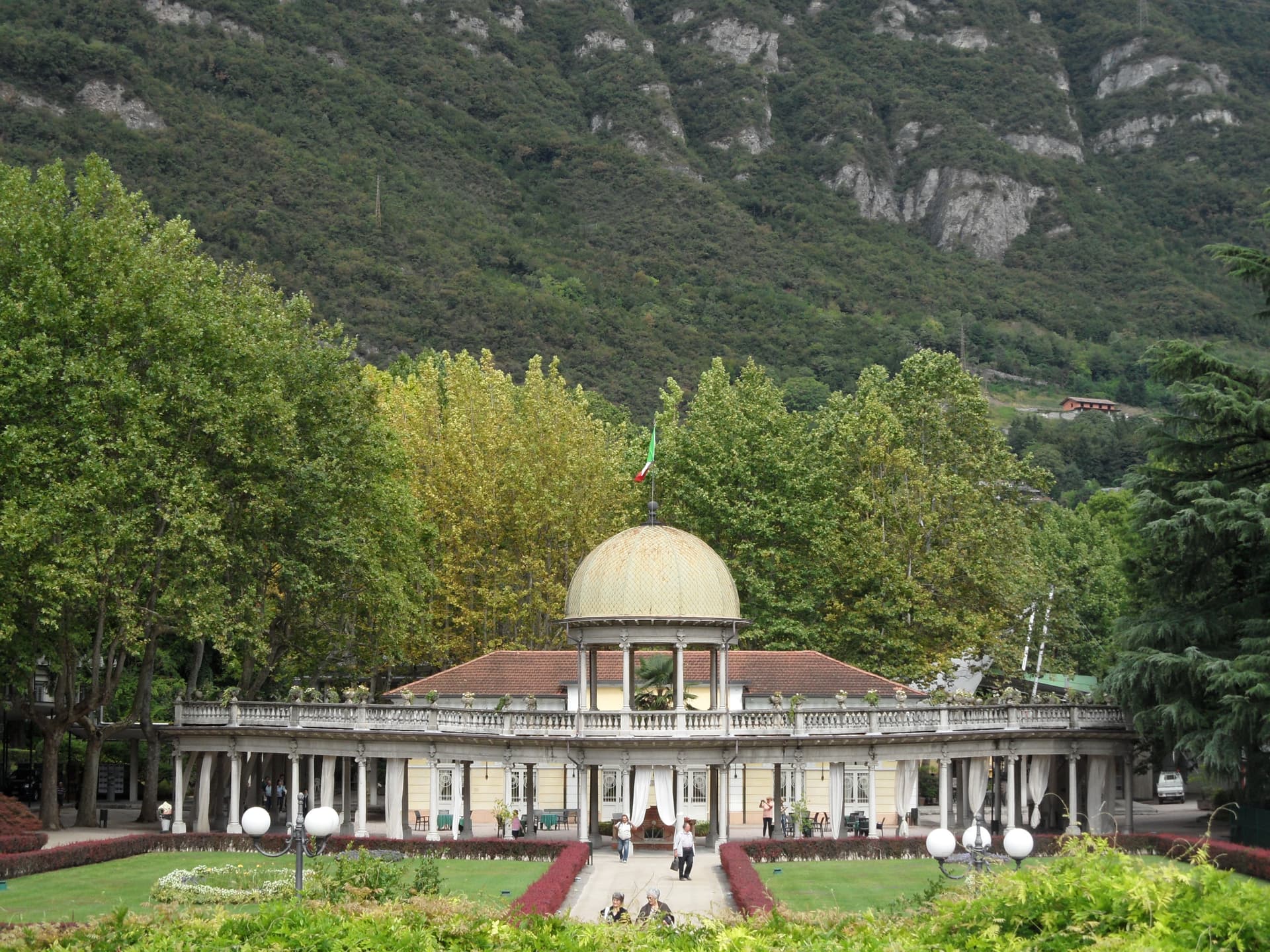
Darfo Boario Terme
Province: Brescia
At the mouth of the Valle Camonica, an Art Nouveau spa town next to one of the first UNESCO rock-engraving sites in Italy.
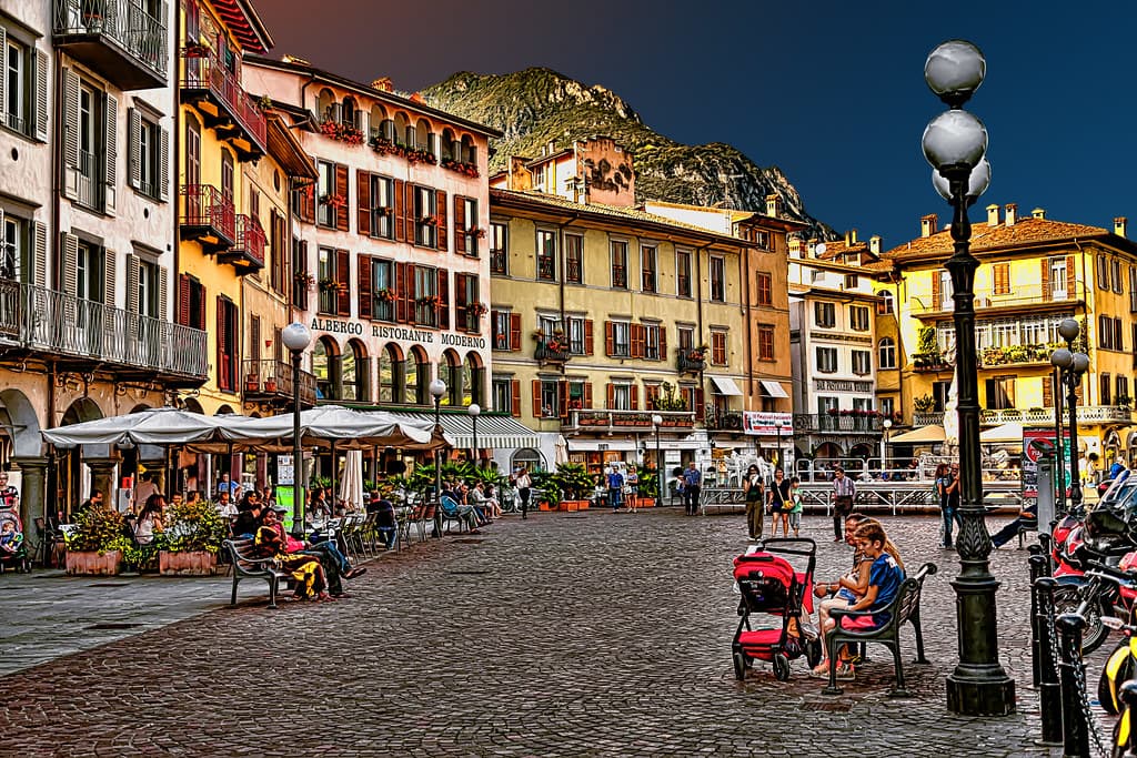
Lovere
Province: Bergamo
An amphitheater town at the north end of Lake Iseo, in Borghi più belli since 2003, with Canova plasters inside the Accademia Tadini.
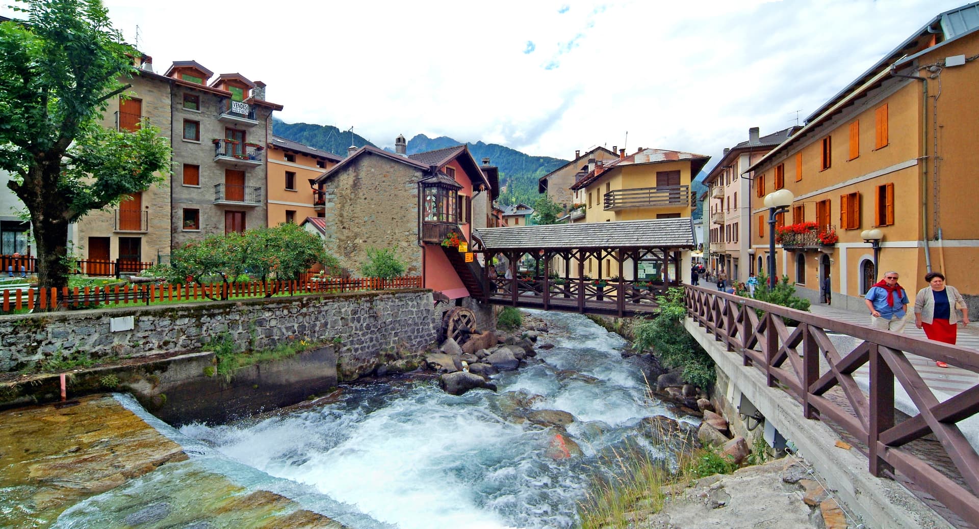
Bienno
Province: Brescia
A medieval ironworking village in the Val Camonica, where water hammers driven by the Grigna stream have shaped wrought iron since the 1200s.
Castione della Presolana
Province: Bergamo
A high-valley commune at 870 meters under the Pizzo della Presolana, the limestone peak the Bergamasque call the Queen of the Orobie.
Ponte di Legno
Province: Brescia
The uppermost commune of Valle Camonica at 1,257 meters, where the two source streams of the Oglio meet under the Adamello range.
🏛️ UNESCO
More UNESCO towns in Lombardy
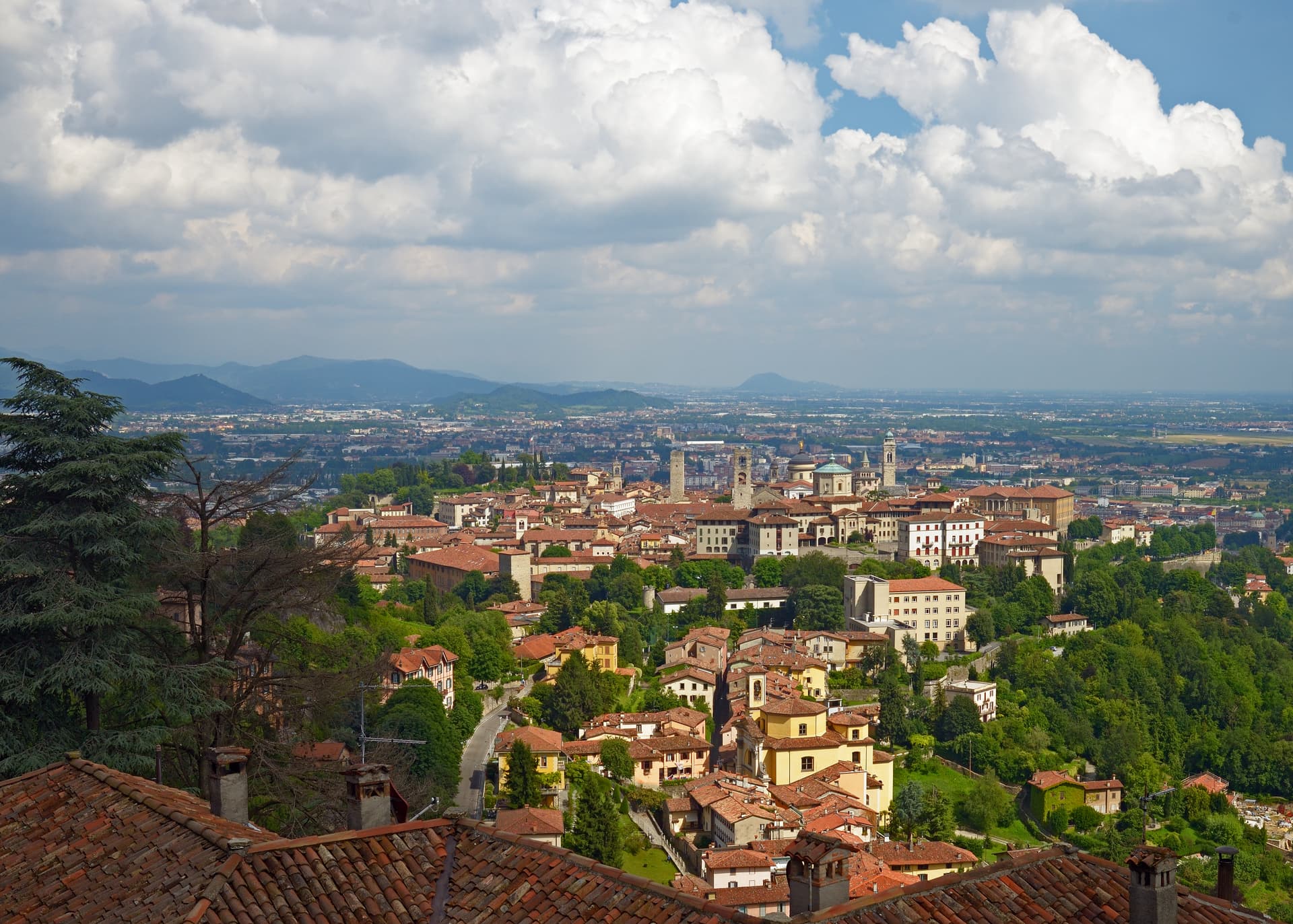
Bergamo
Province: Bergamo
A two-city Lombard capital where a Venetian walled hilltown sits 85 meters above its modern twin on the plain, 45 kilometers northeast of Milan.
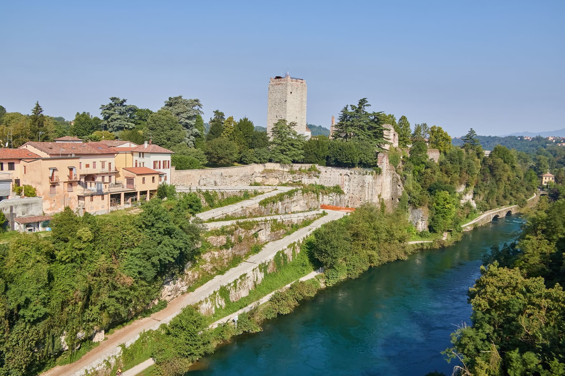
Capriate San Gervasio
Province: Bergamo
The Bergamasco town that holds Crespi d'Adda, the late-nineteenth-century company village inscribed by UNESCO in 1995 as a model workers' settlement.
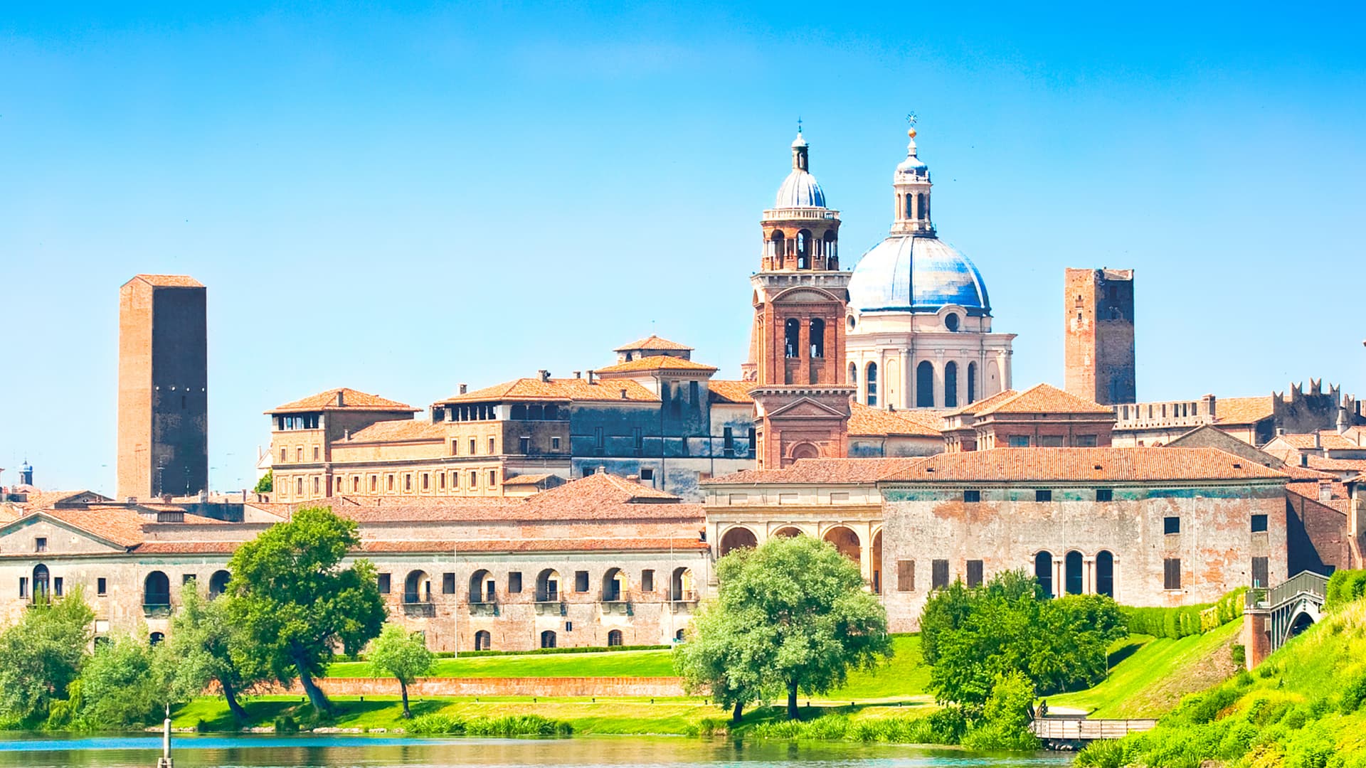
Mantova
Province: Mantova
A Gonzaga capital at 19 meters, encircled on three sides by lakes the Mincio formed in the twelfth century, UNESCO-listed together with Sabbioneta since 2008.
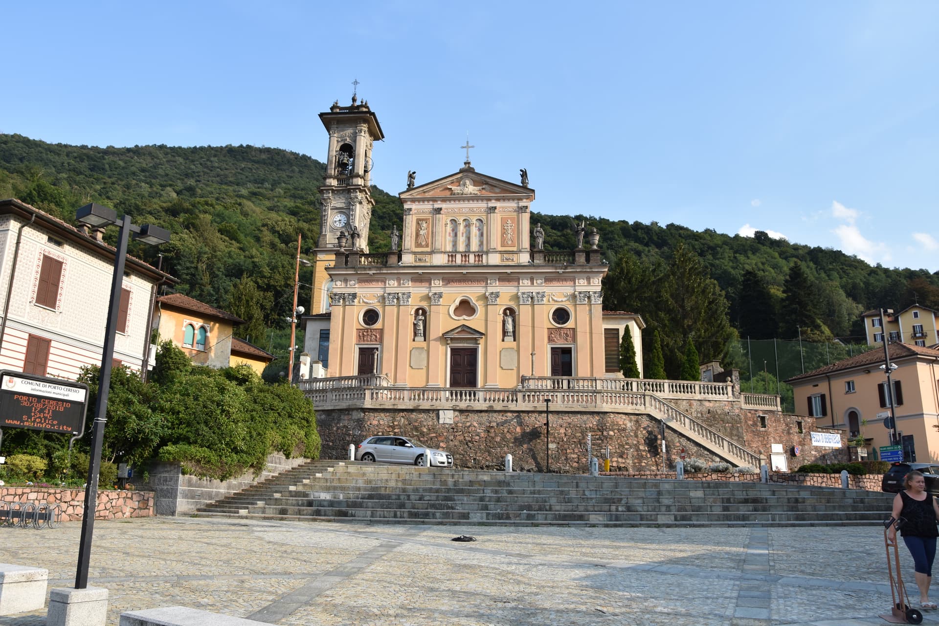
Porto Ceresio
Province: Varese
The Italian port at the southern end of Lake Lugano, where the Swiss border runs through the water below Monte San Giorgio.
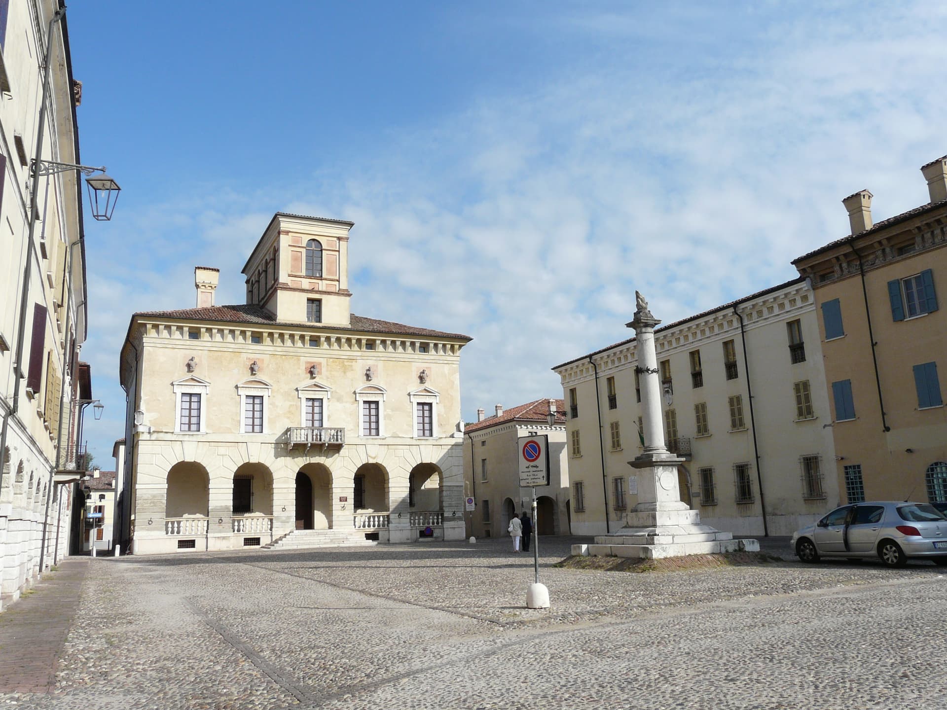
Sabbioneta
Province: Mantova
A Renaissance ideal city on the Po, built in thirty years by Vespasiano I Gonzaga and laid out as a six-pointed star.