
Tuscany · Siena
Castellina in Chianti
A Chianti hill town at 578 meters on the watershed between the Arno and the Ombrone, with an Etruscan tumulus, a Brunelleschi-reinforced wall and a covered medieval walkway around its edge.
Known for
CHIANTI CLASSICO
Heart of the Gallo Nero DOCG area, Sangiovese-based red grown on the watershed slopes between the Arno and Ombrone, neighbor to Radda and Gaiole.
VIA DELLE VOLTE
Covered arcaded walkway along the eastern walls, an original ancient pomerium built over with private houses, now lined with workshops and trattorie.
TUMULO MONTECALVARIO
Sixth-century BC Etruscan tomb on four cardinal axes, a kilometer from the centro storico, attesting to the Chianti's place on the north-south Etruscan trade line.
When to visit
Best · Apr–Oct
- J
- F
- M
- A
- M
- J
- J
- A
- S
- O
- N
- D
- Best
- Hot or crowded
- Quiet
- Mostly closed
Why come
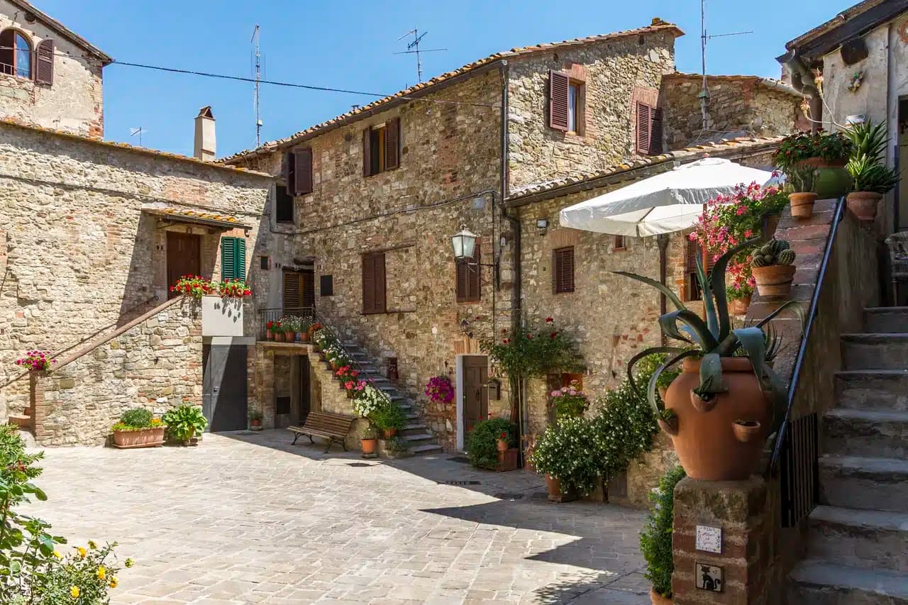
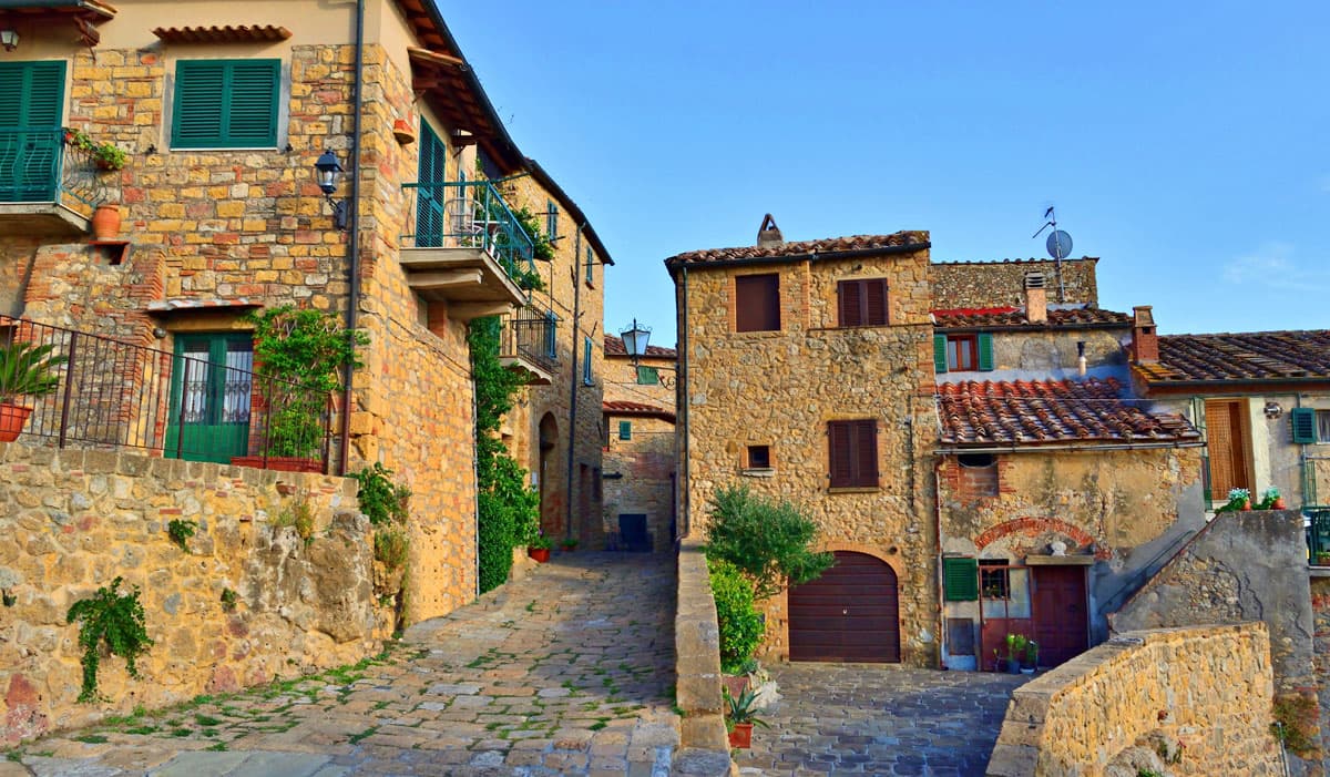
Castellina in Chianti sits at 578 meters on the watershed between the Arno and Ombrone basins, fifteen kilometers northwest of Siena and thirty-five south of Florence. Its position on the historic frontier between the two republics shaped the town: it was a Sienese border fortification reinforced in the fifteenth century by Filippo Brunelleschi and Giuliano da Sangallo against firearm warfare. The Rocca with its fifteenth-century tower dominates the centro storico and now houses the Museo Archeologico del Chianti Senese, opened in 2006.
The Via delle Volte runs the length of the eastern wall: an original ancient pomerium, once open to the sky, gradually built over by private houses against the wall and now a covered arcaded passage lined with workshops and trattorie. The Tumulo Etrusco di Montecalvario, a sixth-century BC tomb with four burial chambers carved on the cardinal axes, sits a kilometer from the centro storico. The Gallo Nero of Chianti Classico DOCG is grown on the slopes below.


What to see
Rocca di Castellina
Fifteenth-century fortification with imposing keep, now housing the Museo Archeologico del Chianti Senese, opened in 2006.
Via delle Volte
Covered arcaded walkway along the eastern wall, once an open pomerium, built over by houses pressing against the fortifications and now lined with workshops.
Tumulo di Montecalvario
Sixth-century BC Etruscan tomb a kilometer from town, with four burial chambers carved on the cardinal compass points, excavated in the early 1900s.
Museo Archeologico del Chianti Senese
Museum inside the Rocca with Bronze Age finds, Etruscan grave goods from Montecalvario and Poggino, and medieval material from the town walls.
Chianti vineyards
Gallo Nero DOCG slopes ringing the town, Sangiovese-dominant wine grown on the limestone-clay watershed soils between Arno and Ombrone.
The slow-trip planner
Building a trip? Find where Castellina in Chianti fits in a slow Italy circuit.
Answer five questions. We will shape a geographically coherent slow trip from the 1,000 Italian towns most travelers skip. Yours to save and share.
We recommend
Where to eat and stay
Not our picks, but places the guides put their name to — a Michelin star, a Gambero Rosso fork, a Slow Food snail, a Michelin Key for the hotels. Worth a table, a counter, or a night when you pass through.
Albergaccio di CastellinaRistorante
Albergaccio di Castellina holds two Gambero Rosso forks (83/100) and a spot in the Michelin Guide.
Osteria di FonterutoliRistorante
Osteria di Fonterutoli holds a Gambero Rosso listing.
Passo dopo Passo OsteriaRistorante
Passo dopo Passo Osteria has a Gambero Rosso listing to its name.
Signature product
Chianti Classico DOCGDOCG
One of the founding Chianti Classico communes; central, on the watershed between the Arno and the Ombrone.
See every town in our catalogue producing Chianti Classico DOCG.
The Sunday letter
Castellina in Chianti got its letter. One town every Sunday, free — the photo, the food, the festa.
By subscribing you agree to Substack’s Terms of Use, our Privacy Policy and our Information collection notice.
Living here
- Population 2,651
- Commuter belti
- Pharmacy in town
- High school within a 30-minute drive
- Nearest airport Bologna, 1 h 56 min drive
- Regional capital Firenze, 1 h 3 min drive
Tags & datadesignations · numbers · sources
The numbers
- Elevation: 578 m
- Population: 2,651
- Surface area: 99.8 km²
These figures were compiled from public directories — ISTAT, OpenStreetMap, Wikidata — and from the official listings of the guides named on this page. Town details change; verify with official sources before you travel.
Featured on
Castellina in Chianti appears on 2 themed picks from our Collections:
Close by
More towns near Castellina in Chianti
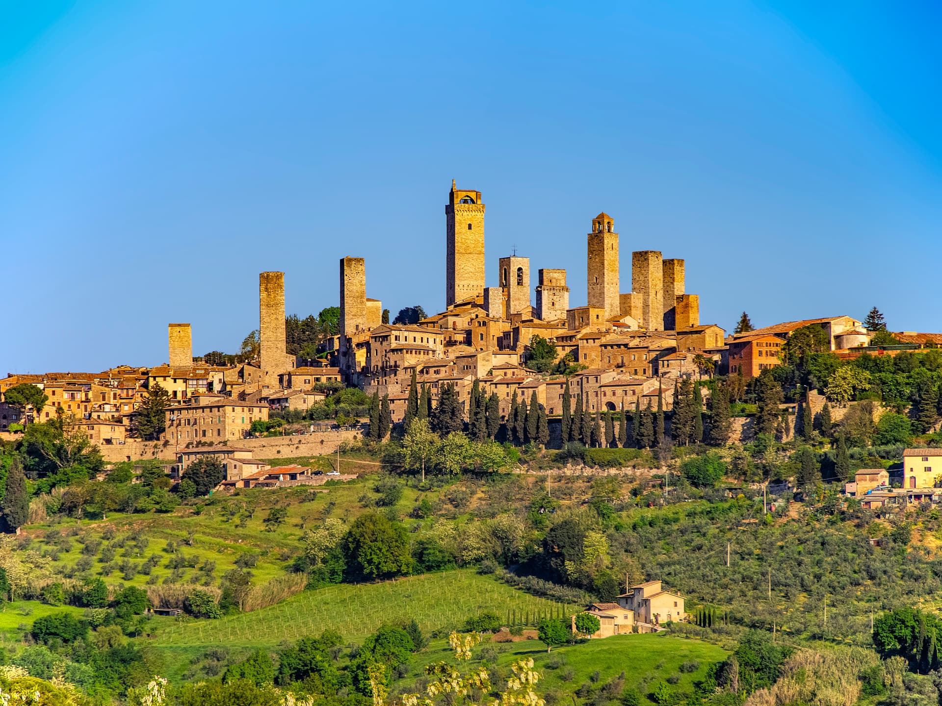
San Gimignano
Province: Siena
A walled hill town at 334 meters with 14 surviving medieval towers, UNESCO listed since 1990 and the home of Vernaccia.

Siena
Province: Siena
The medieval rival of Florence at 322 meters on three hills, with a shell-shaped piazza where seventeen contrade race bareback horses twice a year.
Certaldo
Province: Firenze
The brick-built upper town in the Valdelsa where Boccaccio spent his last years, twenty-five kilometers from Florence on the medieval road to Siena.
Greve in Chianti
Province: Firenze
The market town of the Chianti Classico zone on the Greve river, with a triangular piazza arcaded since the sixteenth century.
Castelnuovo Berardenga
Province: Siena
A Chianti Classico commune at 351 meters between the Ombrone and the Crete Senesi, the last castle Siena built against Florence, in 1366.
🌻 Spighe Verdi
More Spighe Verdi towns in Tuscany
Bibbona
Province: Livorno
An Etruscan-origin hill village above the Costa degli Etruschi, with a Romanesque parish church and a Lorraine-built coastal fort eight kilometers down the road at Marina di Bibbona.

Castagneto Carducci
Province: Livorno
A hilltop borgo at 194 meters above the Costa degli Etruschi, renamed for the poet Carducci in 1907 and the home of Bolgheri and Sassicaia.
Castiglione della Pescaia
Province: Grosseto
A Maremma seaside town under an Aragonese castle, with the Vetulonia necropolis behind it, the Diaccia Botrona wetland beside it, and Italo Calvino buried on the hill.
Grosseto
Province: Grosseto
The Maremma capital on the Ombrone river, ringed by hexagonal Medici walls of 1564 that now serve as the city's public park.

Massa Marittima
Province: Grosseto
A medieval mining town at 380 meters in the Colline Metallifere, free commune from 1255 to 1337, whose cathedral holds the relics of San Cerbone.