

Sicily · Palermo
Piana degli Albanesi
The principal Arbëresh town of Sicily at 720 meters, founded in the fifteenth century by Albanians fleeing the Ottomans and still speaking arbëresh.
Known for
ARBËRESH
The most important Arbëresh centre of Sicily, founded by fifteenth-century Albanian refugees and still speaking their language.
BYZANTINE RITE
Italo-Albanian Catholic Eparchy seat at the Cattedrale di San Demetrio, with Byzantine Greek liturgy and traditional iconography.
CANNOLI
Piana degli Albanesi is famous in Sicily for its oversized ricotta cannoli, drawing Palermitans up for the Sunday morning trade.
When to visit
Best · May–Oct
- J
- F
- M
- A
- M
- J
- J
- A
- S
- O
- N
- D
- Best
- Hot or crowded
- Quiet
- Mostly closed
Why come
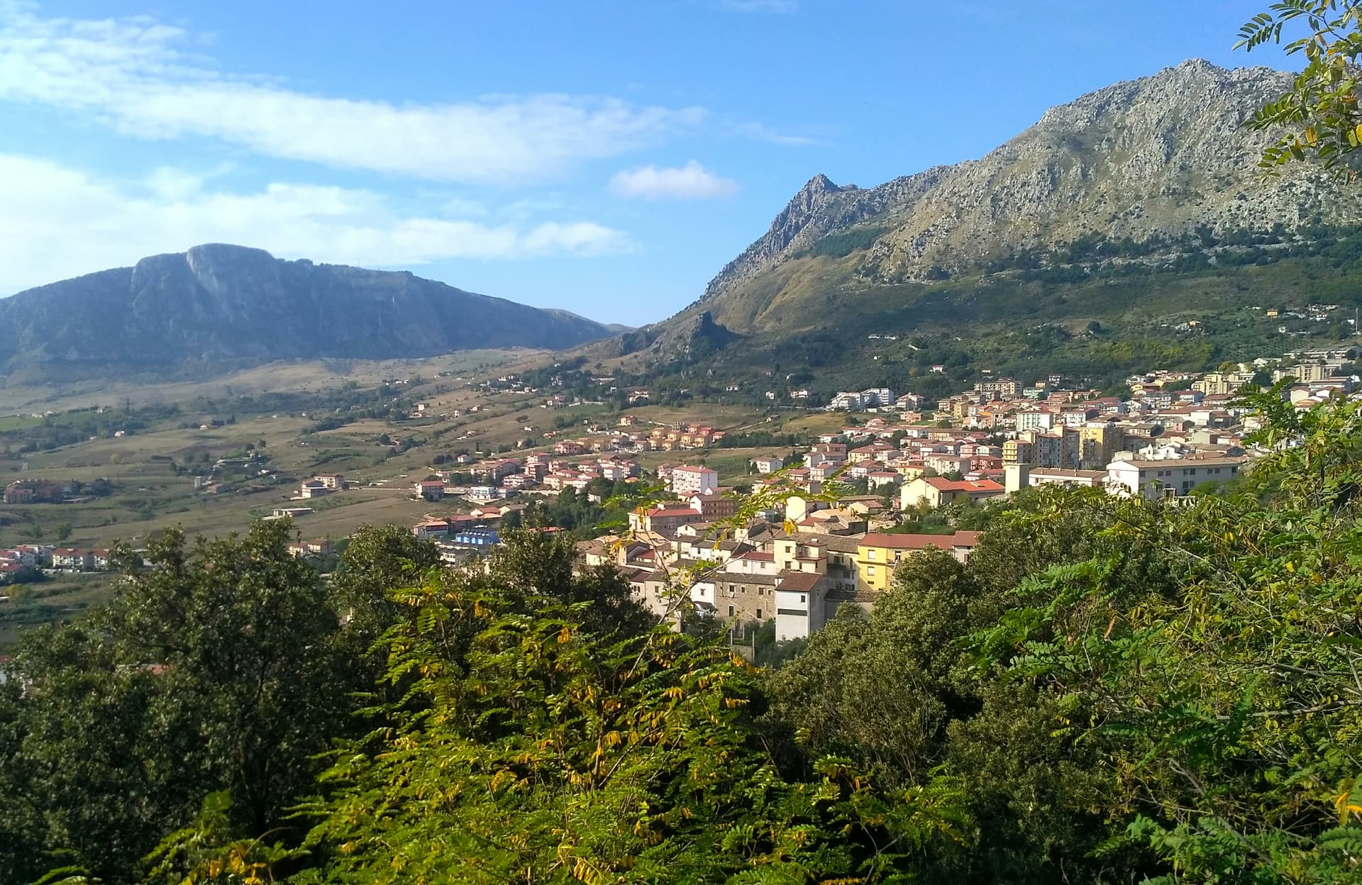
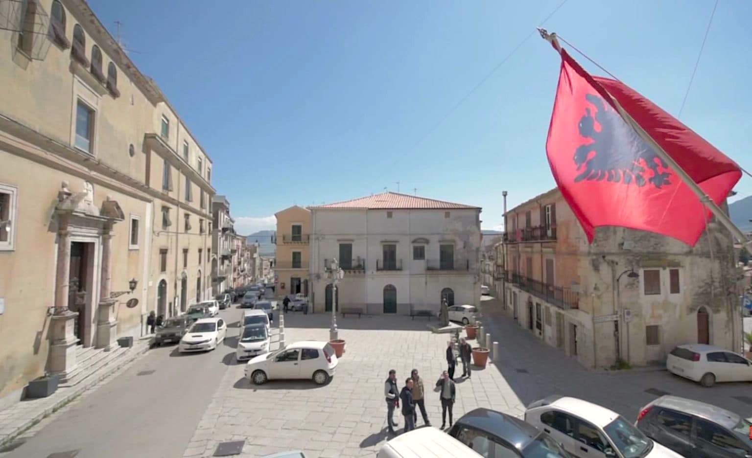
Piana degli Albanesi sits at 720 meters on a plateau twenty-four kilometers south of Palermo, encircled by mountains on the eastern flank of Pizzuta. Hora e Arbëreshëvet in arbëresh, the town is the largest and most populous Arbëresh settlement in Sicily, founded in the late fifteenth century by Albanians fleeing the Ottoman conquest of the Balkans, including nobles and relatives of Skanderbeg. Five centuries later the community still speaks the Albanian of its founders, follows the Byzantine Greek rite, and wears traditional costumes on feast days.
The Cattedrale di San Demetrio Megalomartire is the seat of the Eparchy of Piana degli Albanesi, part of the Italo-Albanian Catholic Church. The Byzantine liturgical singing of the town is on the Intangible Heritage Registry of Sicily. The Lago di Piana, an artificial reservoir at 612 meters with 3. 1 square kilometers of surface, sits below the town, built to generate electricity and irrigate the plain.
The Sunday letter
We haven’t written Piana degli Albanesi’s letter yet.
One town every Sunday, with the photo, the food, the festa. Be there when this one comes up. Free, by Peter & Sophia from Pietrasanta.
By subscribing you agree to Substack’s Terms of Use, our Privacy Policy and our Information collection notice.
What to see
Cattedrale di San Demetrio Megalomartire
Seat of the Italo-Albanian Catholic Eparchy, Byzantine-rite cathedral with iconostasis, frescoed interior and Greek liturgy in arbëresh.
Chiesa di San Giorgio
Second great parish of the town, sixteenth-century foundation, also of the Byzantine rite.
Lago di Piana degli Albanesi
Artificial lake at 612 meters, 3.1 km² of surface, built for hydroelectric power and irrigation below the town.
Centro storico arbëresh
Old town with bilingual signage in Italian and arbëresh, surviving five-century Albanian community in the heart of Sicily.
The slow-trip planner
Building a trip? Find where Piana degli Albanesi fits in a slow Italy circuit.
Answer five questions. We will shape a geographically coherent slow trip from the 1,000 Italian towns most travelers skip. Yours to save and share.
Living here
- Population 5,541
- In-betweeni
- Pharmacy: none mapped
- High school within a 30-minute drive
- Nearest airport Sicily, 3 h 6 min drive
- Regional capital Palermo, 36 min drive
Tags & datadesignations · numbers · sources
Recognised as
The numbers
- Elevation: 720 m
- Population: 5,541
- Surface area: 64.92 km²
These figures were compiled from public directories — ISTAT, OpenStreetMap, Wikidata — and from the official listings of the guides named on this page. Town details change; verify with official sources before you travel.
Close by
More towns near Piana degli Albanesi
Santa Cristina Gela
Province: Palermo
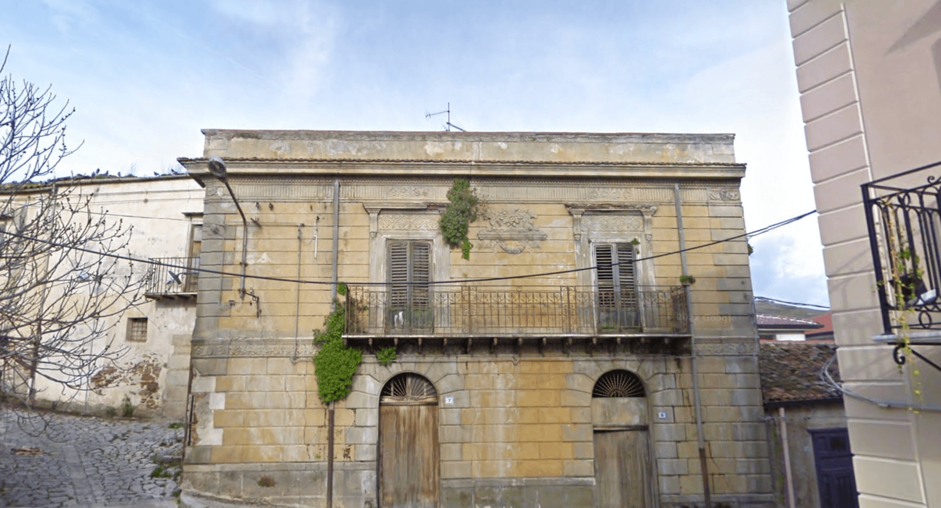
The smallest and youngest of Sicily's three Arbëreshë villages, founded in 1691 by 82 Albanian colonists from neighbouring Piana.
Monreale
Province: Palermo
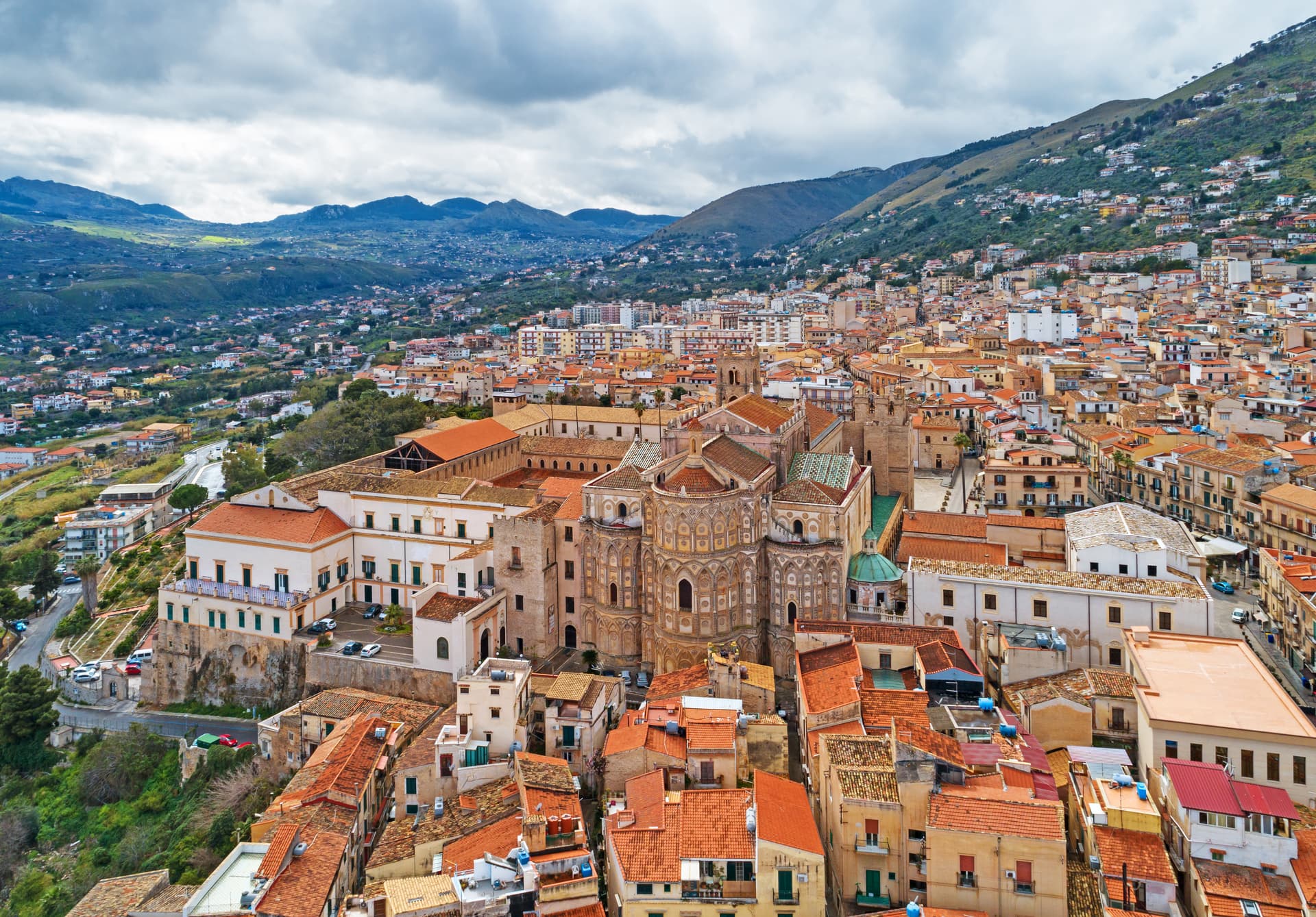
Above the Conca d'Oro at 310 meters, the cathedral William II built between 1174 and 1182 holds 6,340 square meters of Norman mosaics.
Corleone
Province: Palermo
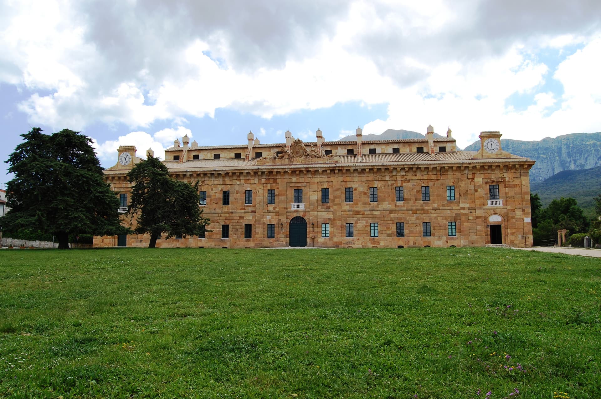
A town of 10,364 in the Palermo hinterland that gave its name to Mario Puzo's Don Vito and now runs Italy's national antimafia documentation centre.
Mezzojuso
Province: Palermo
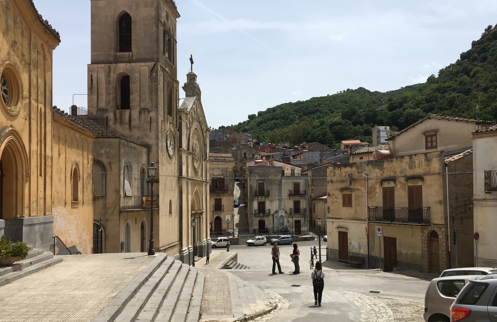
An Arbëreshë village on the slope of Rocca Busambra, two mother churches (one Latin, one Byzantine), and an Arabic name meaning the houses of Joseph.
Sambuca di Sicilia
Province: Agrigento
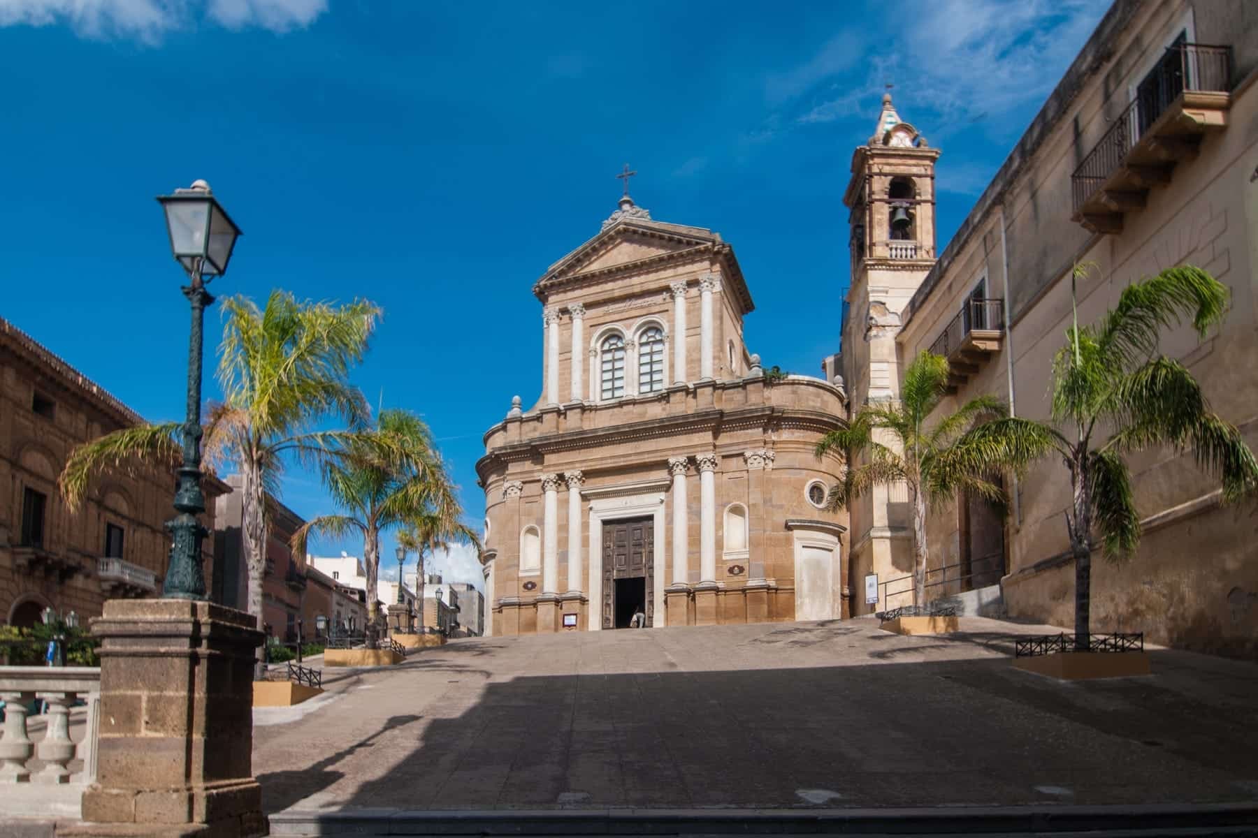
An Arab-founded hill town in the Belice valley, named Borgo dei Borghi in 2016, still called Zabut in living memory before 1923.
🌿 Riserva Naturale
More Riserva Naturale towns in Sicily
Aci Castello
Province: Catania
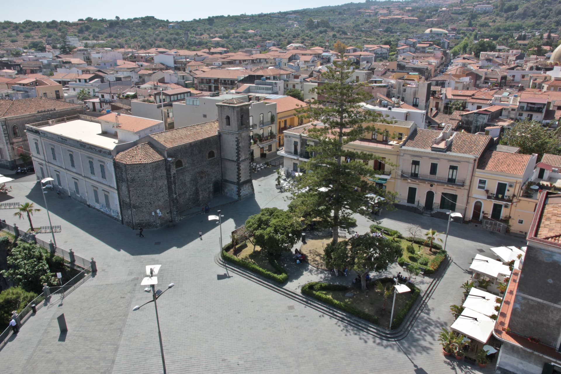
A coastal town just north of Catania on the Riviera dei Ciclopi, where the basalt headland holds the 1076 Norman Castello d'Aci and the seven volcanic Faraglioni dei Ciclopi rise from the sea — the rocks the Cyclops threw at Odysseus in Homer's Odyssey.
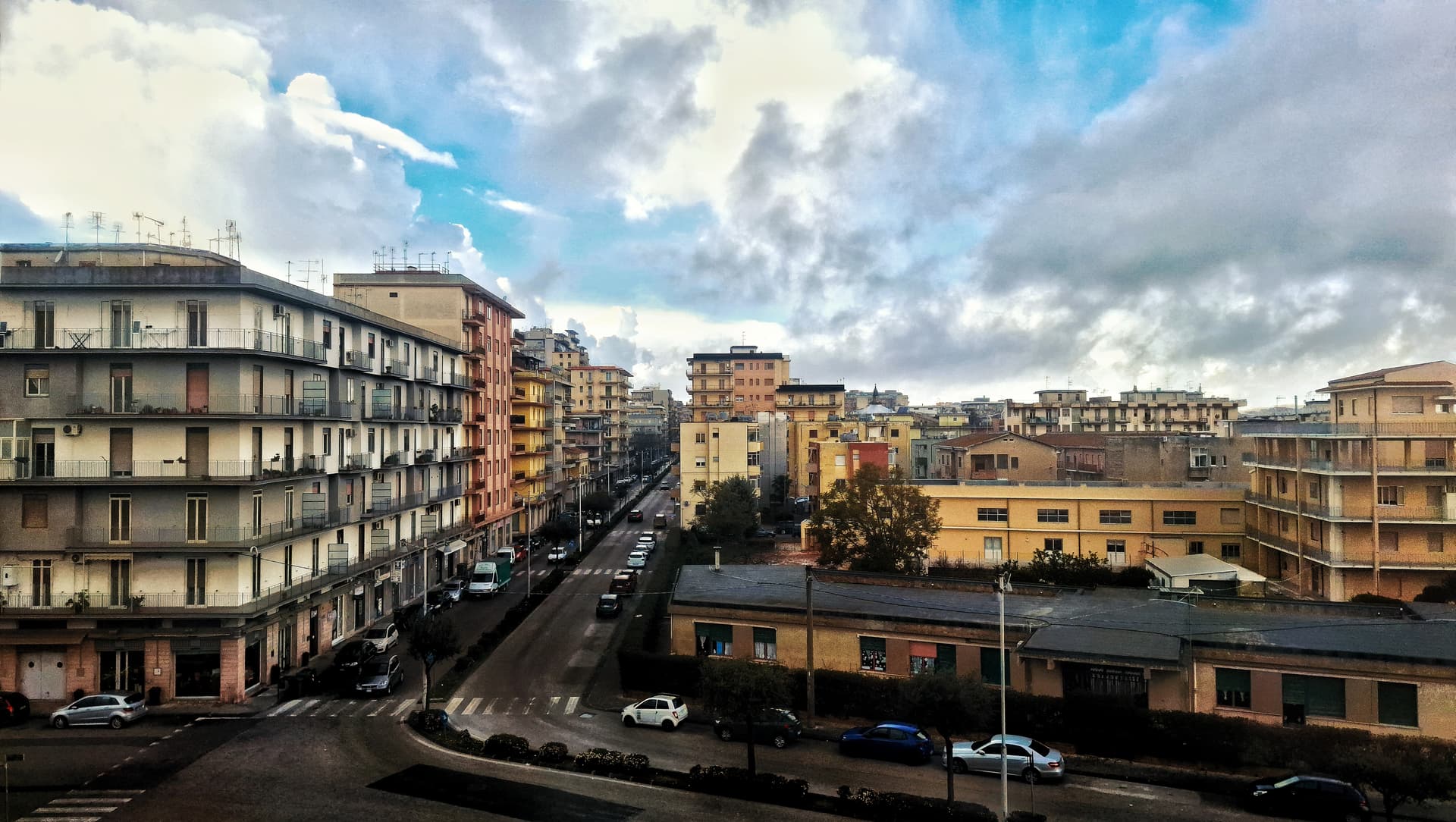
Caltagirone
Province: Catania
Sicily's ceramic capital at 611 meters on the Erei ridge, 142 majolica-tiled steps to Santa Maria del Monte and a Val di Noto UNESCO baroque rebuild.
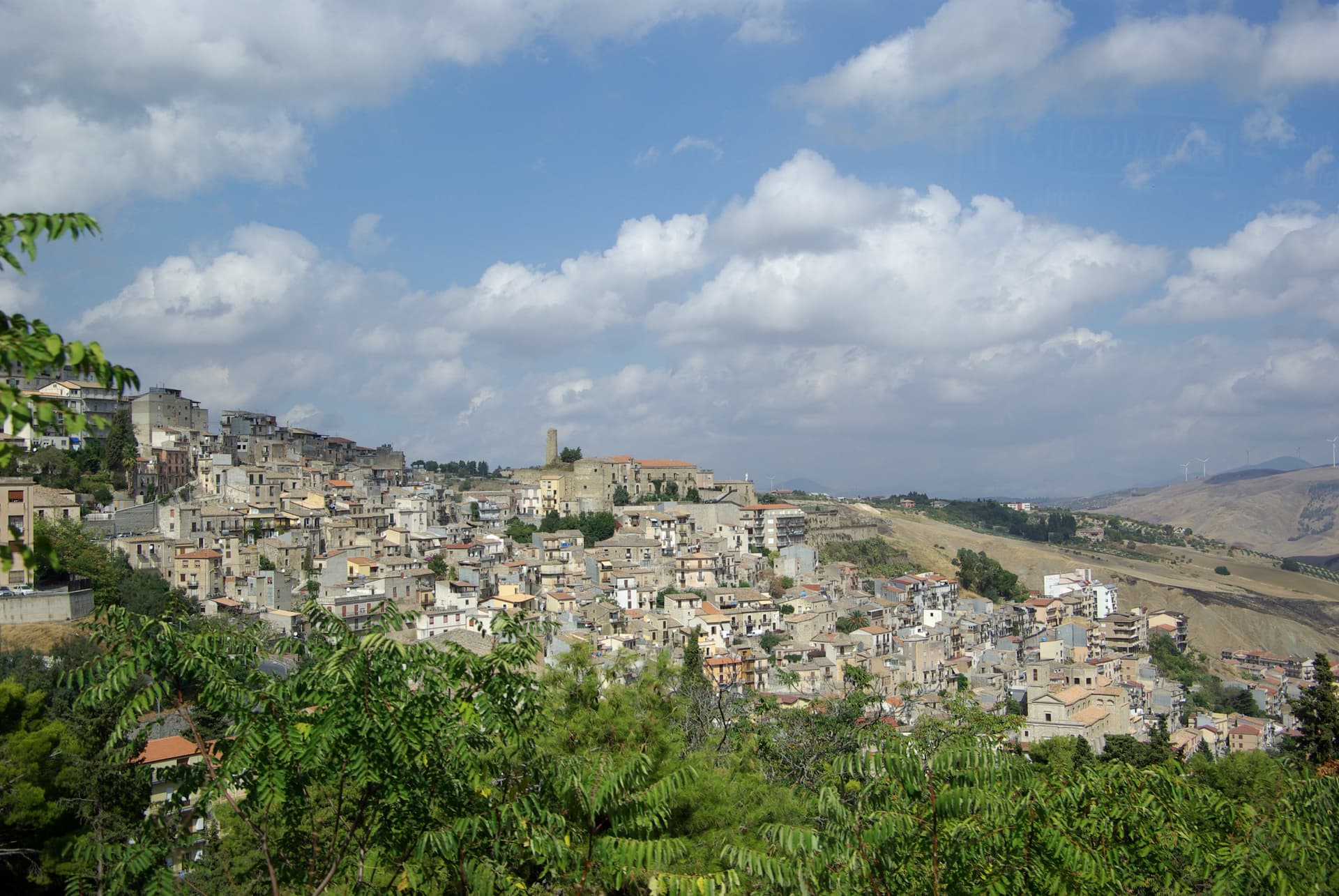
Cammarata
Province: Agrigento
A Sicani town at 700 meters on the northeast slope of Monte Cammarata, the 1,578-meter peak that gives the comune its name and shape.
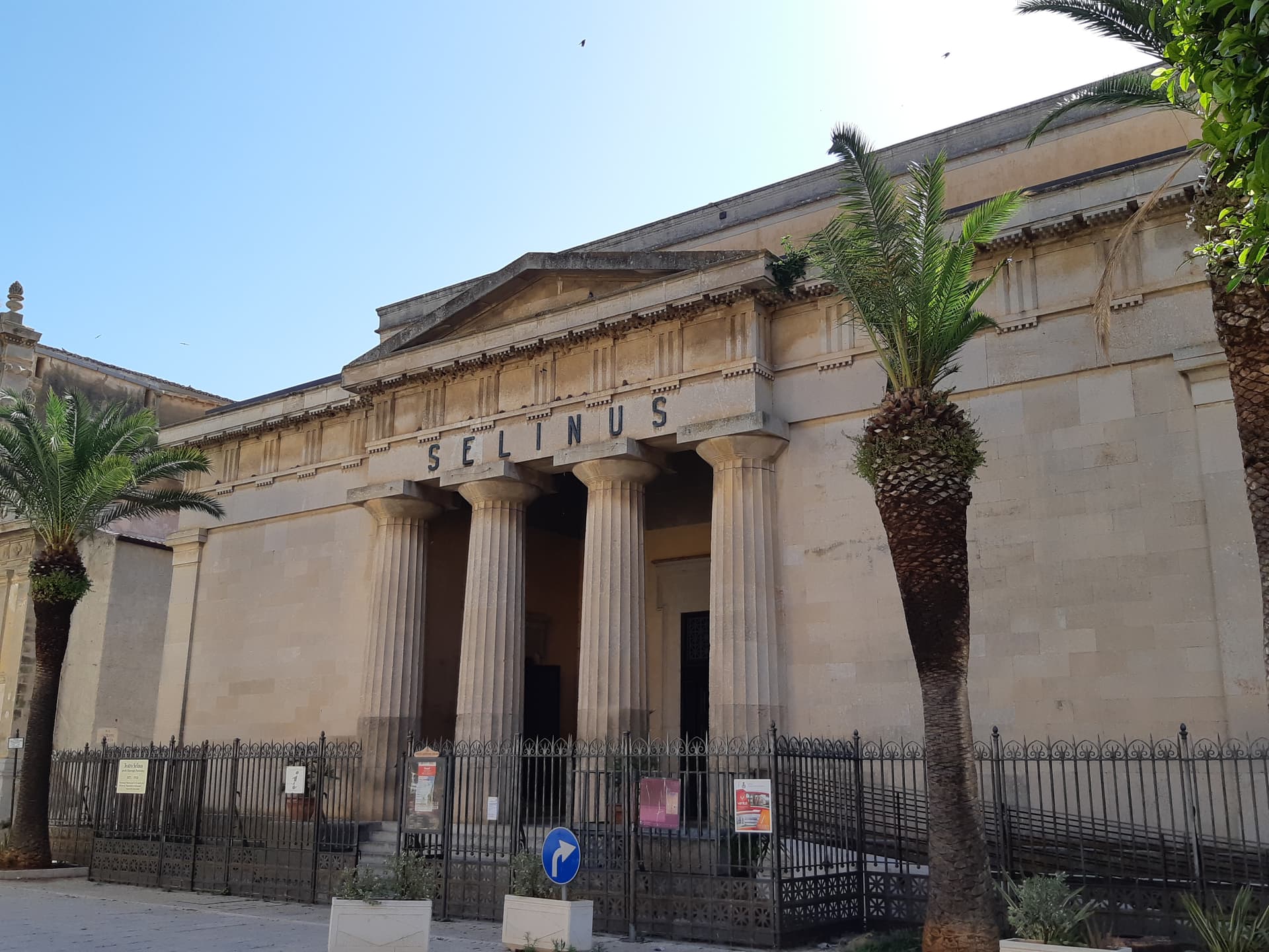
Castelvetrano
Province: Trapani
The Belice valley town that owns Selinunte, the largest archaeological park in Europe, and bakes black bread from grain found in its tombs.
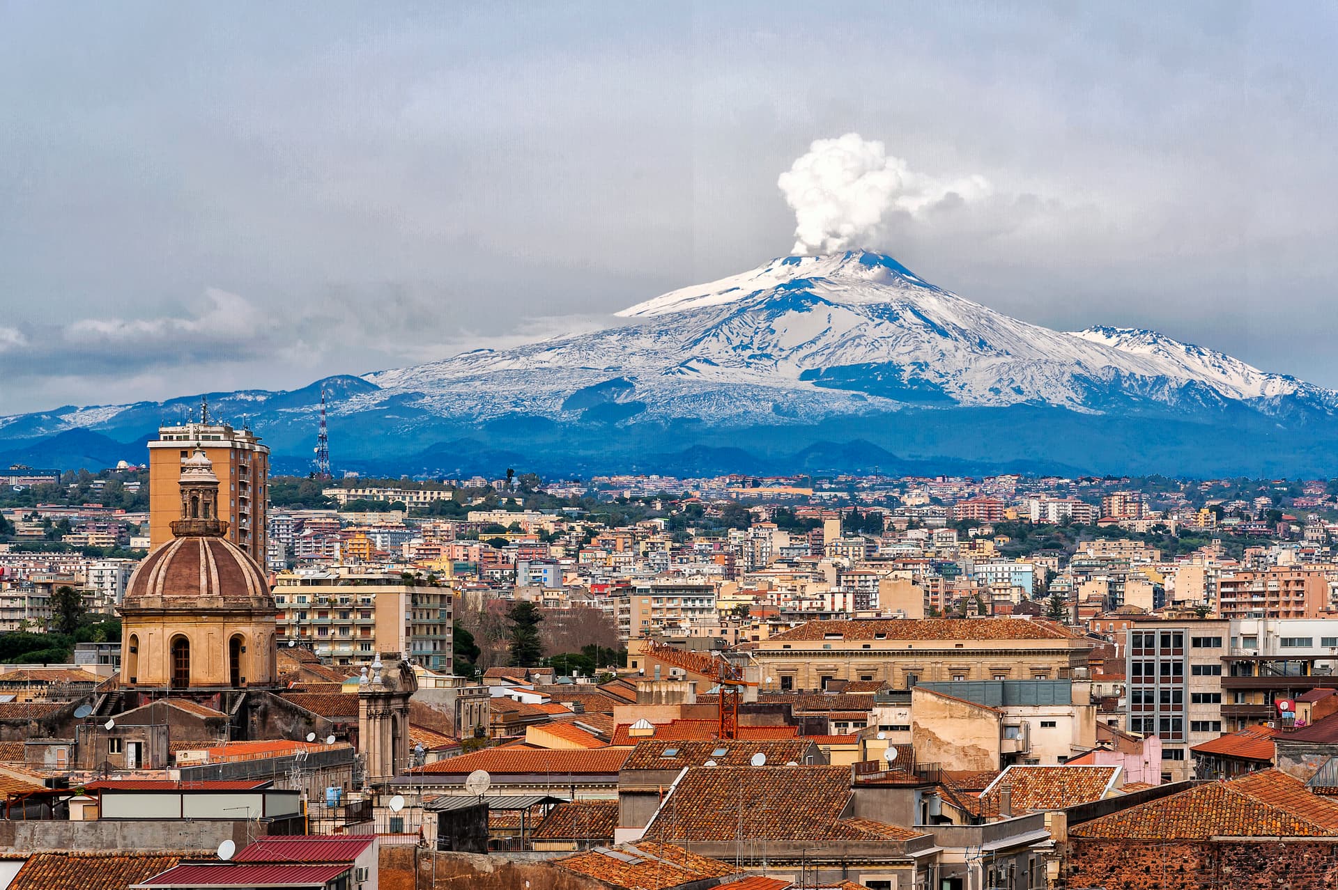
Catania
Province: Catania
Sicily's second city and the cultural anchor of the Ionian coast — a UNESCO late-Baroque centro storico rebuilt in lava-black stone after the 1693 earthquake, sitting at the foot of Etna with a 17th-century elephant fountain (U Liotru) as its civic symbol.