
Veneto · Belluno
Auronzo di Cadore
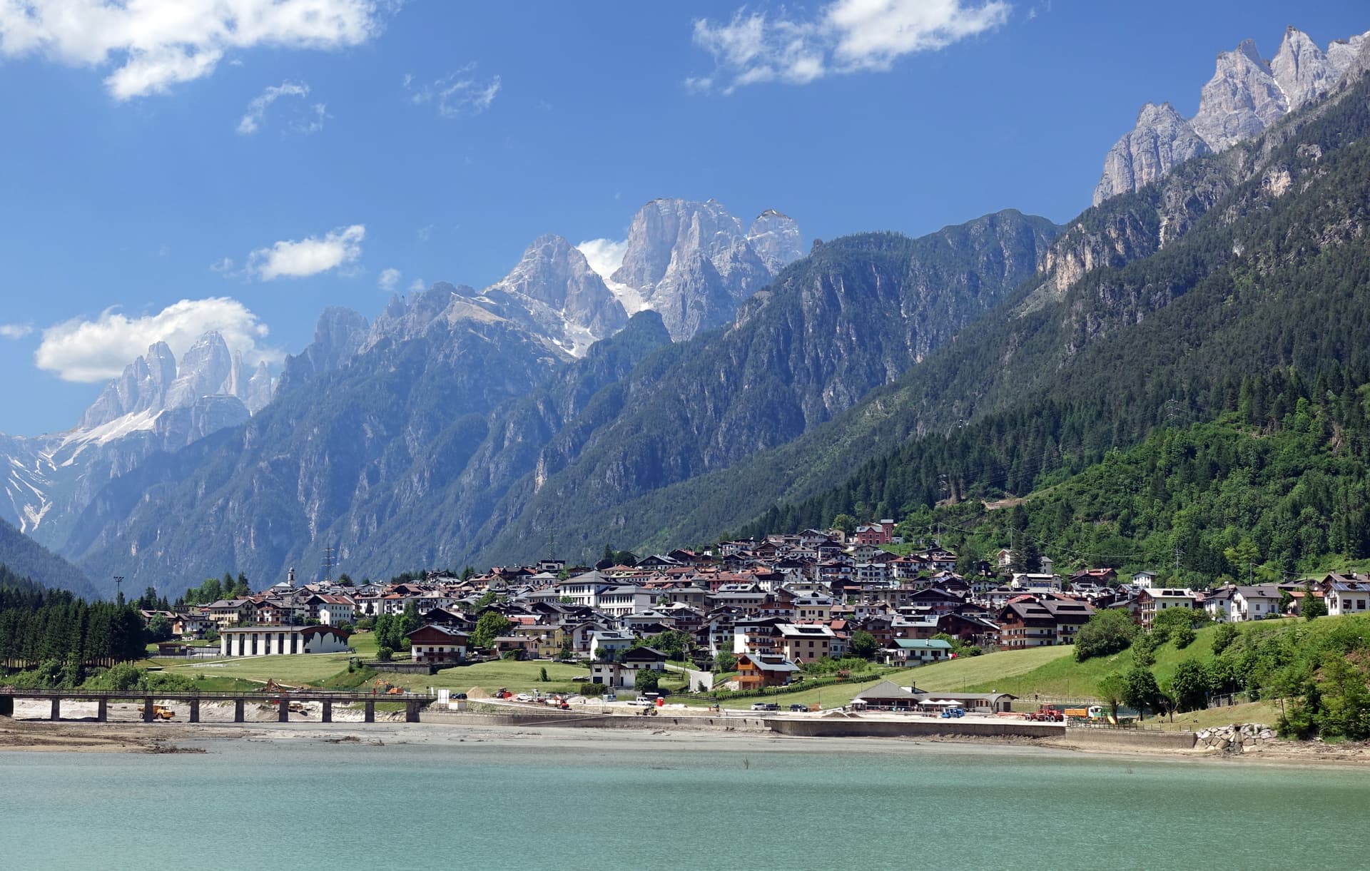
A five-kilometer ribbon town along an artificial lake at 864 meters, the gateway to the Tre Cime di Lavaredo and Lake Misurina.
Known for
TRE CIME
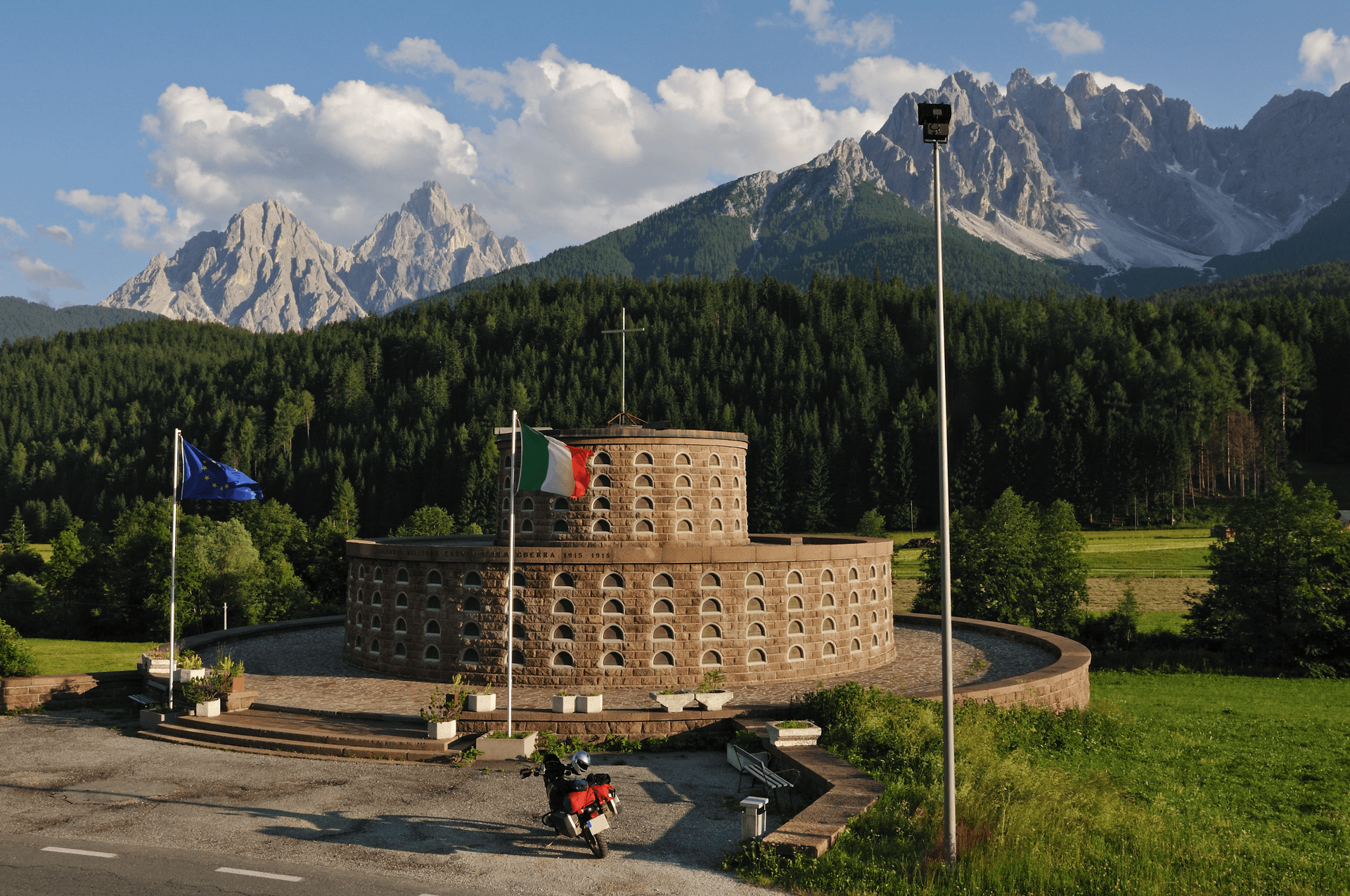
The three peaks of Lavaredo, symbol of the UNESCO Dolomites, with Cima Grande at 2,999 meters and a year-round photo queue.
MISURINA
The largest natural lake in the Cadore at 1,754 meters, used for respiratory therapy and the trailhead for the Cadini group.
THE ARTIFICIAL LAKE
Lago di Santa Caterina, built 1930-32 for hydroelectric power, gave Auronzo its current ribbon shape along the dammed Ansiei.
When to visit
Best · May–Oct
- J
- F
- M
- A
- M
- J
- J
- A
- S
- O
- N
- D
- Best
- Hot or crowded
- Quiet
- Mostly closed
Why come
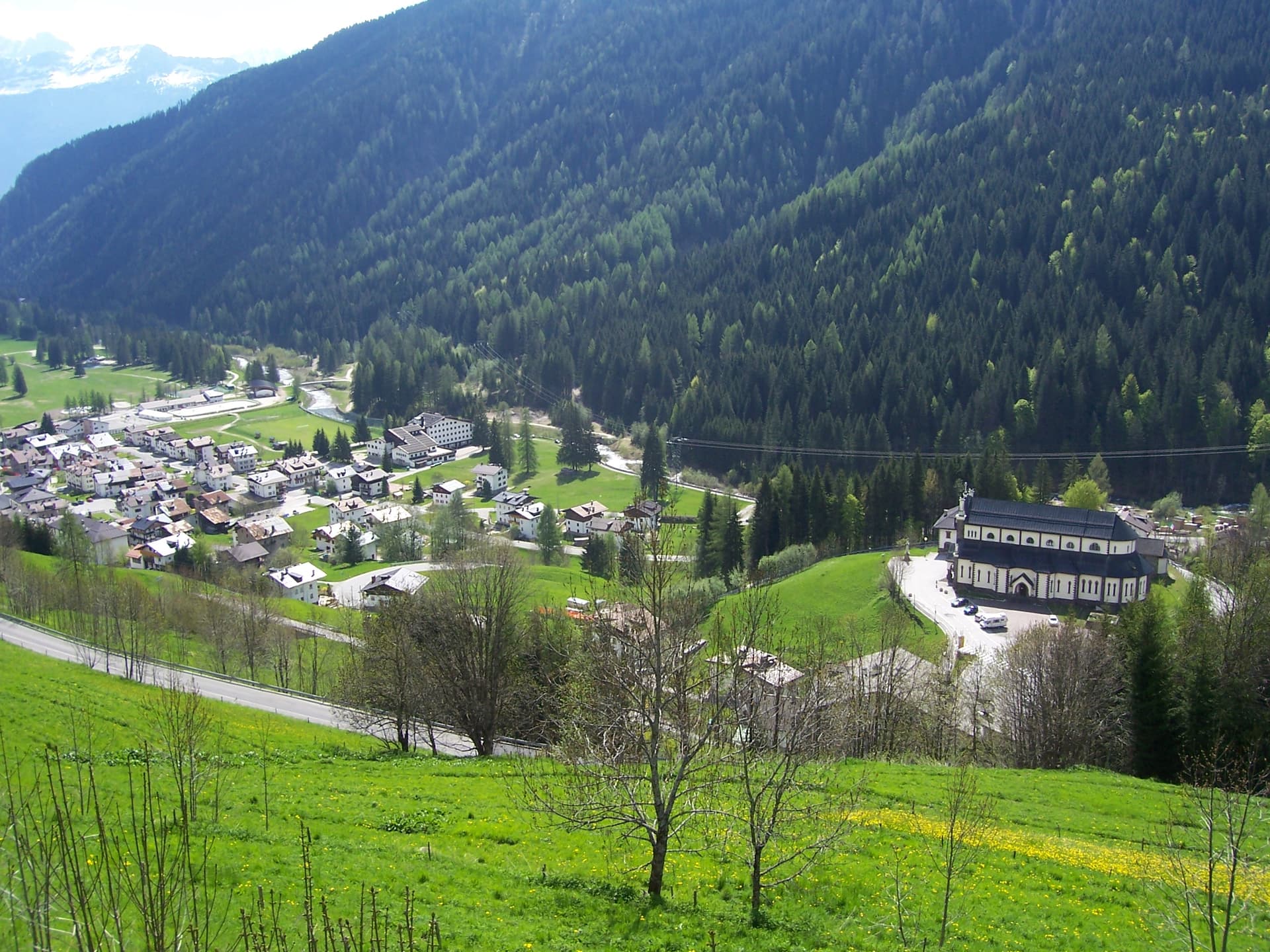
Auronzo stretches for five kilometers along the Lago di Santa Caterina, an artificial reservoir built in 1930-32 by damming the Ansiei for hydroelectric power. The town sits at 864 meters in the Comelico, the northeastern corner of the Cadore. Its municipal territory includes the Tre Cime di Lavaredo, the three battlement peaks that became the symbol of the UNESCO Dolomites, and Lake Misurina at 1,754 meters.
The Tre Cime massif is one of the most photographed mountain groups in the world: Cima Grande tops out at 2,999 meters, Cima Ovest at 2,973, Cima Piccola at 2,857. The Rifugio Auronzo sits at the southern base and serves as the trailhead for the classic loop that draws walkers from June through October. The town itself is workmanlike: hotels, a long lakefront, the small Chiesa di San Lucano in the Villapiccola frazione built 1850-56, and a working harbor for the small boats that cross the reservoir.
The Sunday letter
We haven’t written Auronzo di Cadore’s letter yet.
One town every Sunday, with the photo, the food, the festa. Be there when this one comes up. Free, by Peter & Sophia from Pietrasanta.
By subscribing you agree to Substack’s Terms of Use, our Privacy Policy and our Information collection notice.

What to see
Tre Cime di Lavaredo
Three battlement peaks rising to 2,999 meters, the symbol of the UNESCO Dolomites, with the classic loop trail from Rifugio Auronzo.
Lago di Misurina
The largest natural lake in the Cadore at 1,754 meters, ringed by the Cadini, Sorapiss and Cristallo peaks.
Lago di Santa Caterina
Artificial reservoir built 1930-32 on the Ansiei, five kilometers long, the lake the town runs along.
Chiesa di San Lucano
Mid-nineteenth-century church in the Villapiccola frazione, built 1850-56, the parish church of the upper valley.
Cima Cadin di San Lucano
Highest point in the municipal territory at 2,839 meters, the southern bookend of the Cadini di Misurina group.
The slow-trip planner
Building a trip? Find where Auronzo di Cadore fits in a slow Italy circuit.
Answer five questions. We will shape a geographically coherent slow trip from the 1,000 Italian towns most travelers skip. Yours to save and share.
Living here
- Population 3,063
- Off the beaten pathi
- Pharmacy in town
- High school within a 30-minute drive
- Nearest airport Venice, 2 h 11 min drive
- Regional capital Venezia, 2 h 20 min drive
Tags & datadesignations · numbers · sources
Recognised as
The numbers
- Elevation: 864 m
- Population: 3,063
- Surface area: 220.65 km²
These figures were compiled from public directories — ISTAT, OpenStreetMap, Wikidata — and from the official listings of the guides named on this page. Town details change; verify with official sources before you travel.
Close by
More towns near Auronzo di Cadore

Cortina d'Ampezzo
Province: Belluno
The Queen of the Dolomites at 1,224 meters, host of the 1956 Winter Olympics and co-host of Milano-Cortina 2026.
Toblach
Province: Bolzano
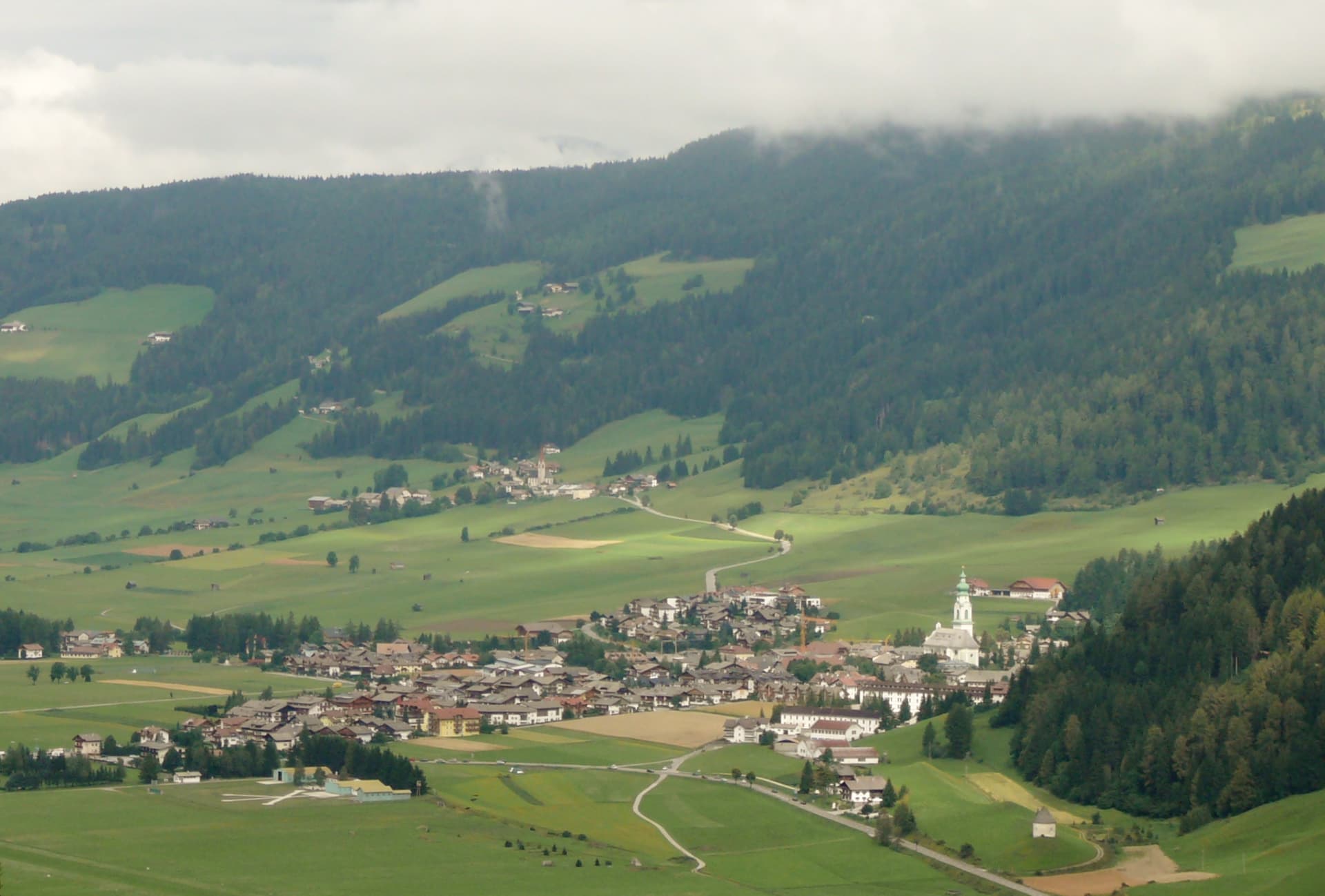
The Val Pusteria gateway to the Tre Cime di Lavaredo, where Mahler wrote his last three symphonies in a cabin behind town.

Sappada
Province: Udine
A German-speaking alpine village at 1,250 meters near the source of the Piave, settled from East Tyrol in the eleventh century and Italian since 1852.
Innichen
Province: Bolzano
An Alta Pusteria town at 1,175 metres on the Austrian border, with the most important Romanesque church in the Eastern Alps and the Drei Zinnen rising thirty kilometres south.
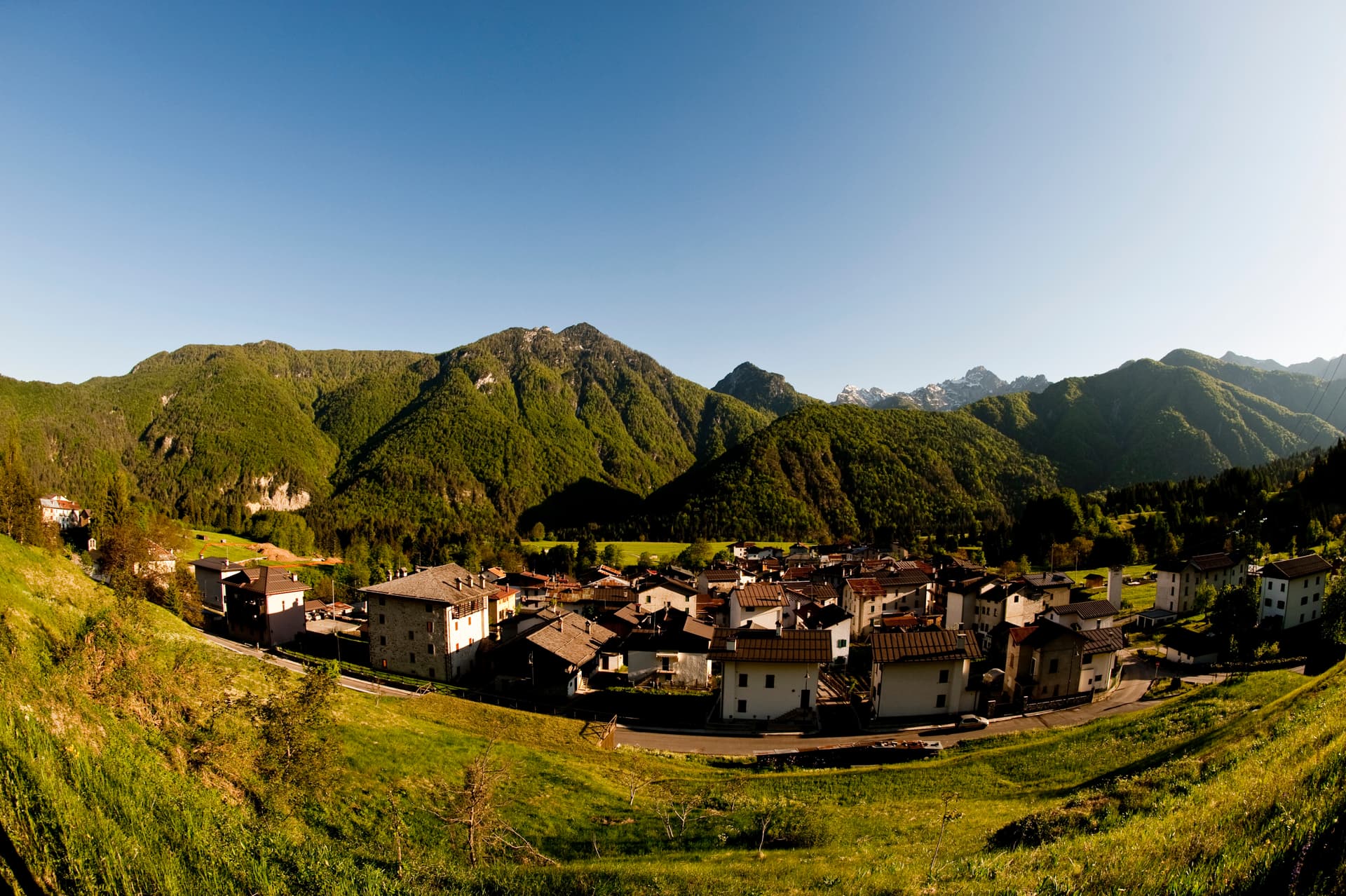
Forni di Sotto
Province: Udine
Carnia's Dolomite gateway — a 548-resident alpine borgo at 791m at the head of the Val Tagliamento, gateway to the Parco Naturale delle Dolomiti Friulane (UNESCO Dolomites), with Borgo Autentico mark, a centro almost entirely rebuilt after the 1944 German wartime burning, and direct access to the Forni Avoltri-Sappada ski + hiking circuit.
⛷️ Ski Area
More Ski Area towns in Veneto

Alleghe
Province: Belluno
A lakeside village at 979 meters under Monte Civetta, formed in 1771 when ten million cubic meters of rock crashed into the Cordevole.

Asiago
Province: Vicenza
The Sette Comuni plateau capital — a 6,285-resident high-altitude town at 1,001m in the Alpine prealps north of Vicenza, with the eponymous Asiago DOP cheese, the largest WWI ossuary in northern Italy (Sacrario del Leiten, 54,286 fallen soldiers), and Italy's most important professional astronomical observatory.
Falcade
Province: Belluno
An Agordino ski village at 1,148 meters under the Focobon spires, with the San Pellegrino pass to the Val di Fiemme.
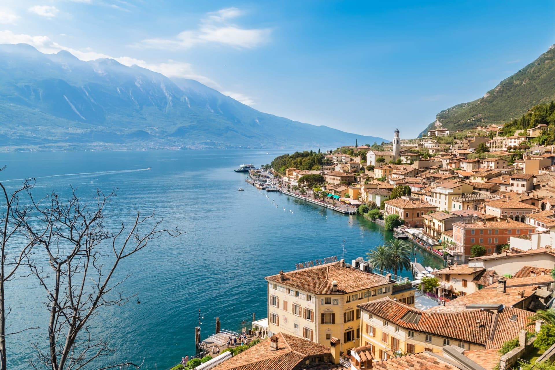
Malcesine
Province: Verona
The northernmost Veneto town on Lake Garda, where Goethe was nearly arrested for sketching the Castello Scaligero in September 1786.
Rocca Pietore
Province: Belluno
An Agordino borgo at 1,143 meters under the Marmolada, where the Pettorina cuts a two-kilometer gorge through 100-meter rock walls.