

Trentino-South Tyrol · Bolzano
Innichen
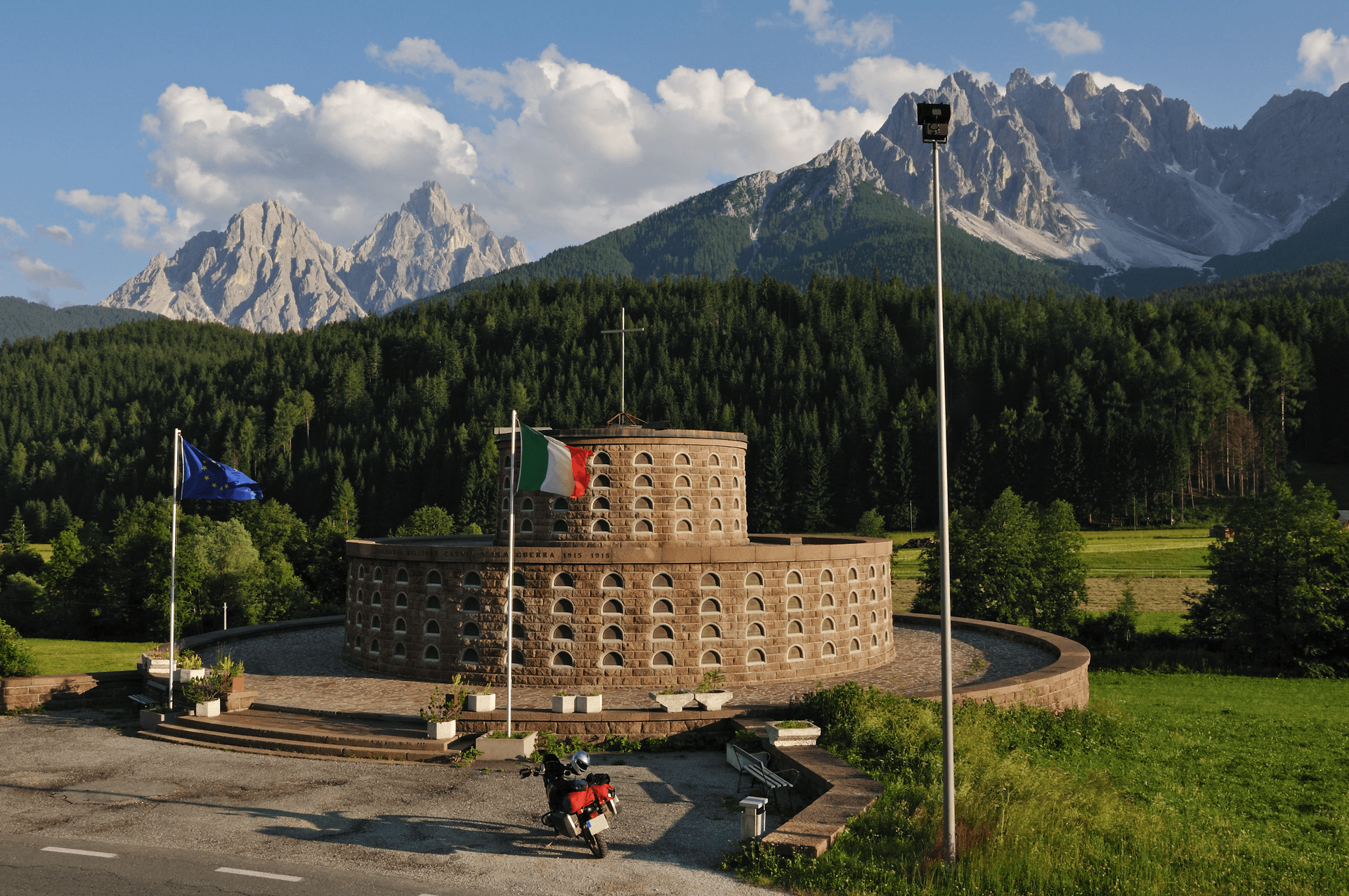
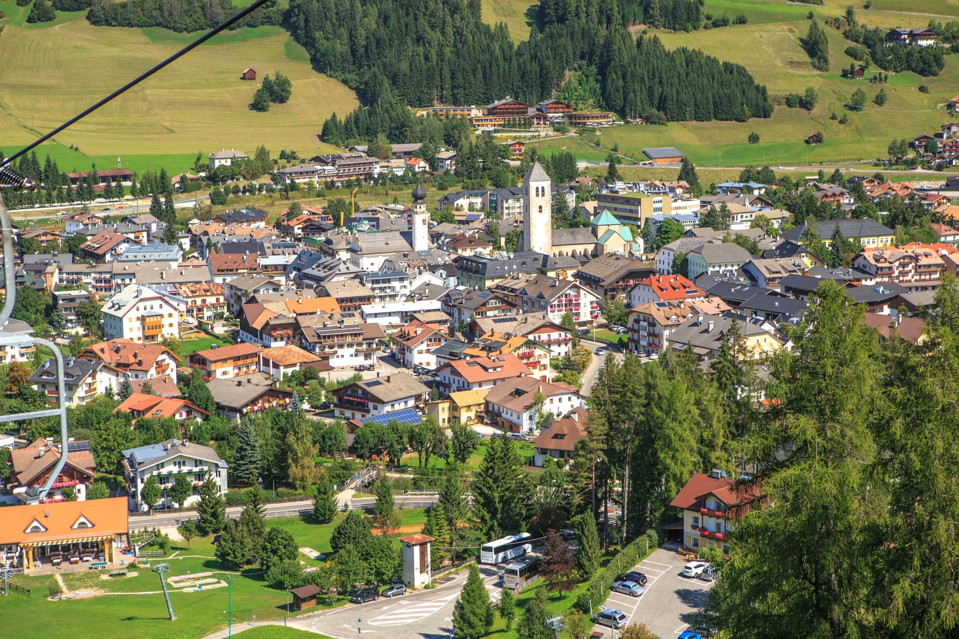
An Alta Pusteria town at 1,175 metres on the Austrian border, with the most important Romanesque church in the Eastern Alps and the Drei Zinnen rising thirty kilometres south.
Known for
ROMANESQUE COLLEGIATA
Begun in 1143 on the site of the 769 Benedictine foundation, considered the most important Romanesque building in Tyrol and the Eastern Alps.
DREI ZINNEN GATEWAY
Road, rail and trail base for the Sesto Dolomites and the Tre Cime di Lavaredo, the most photographed silhouette in the Dolomites.
DRAVA CYCLE PATH
Forty-four-kilometre family cycle route east from Innichen to Lienz, almost entirely separated from the road and one of the busiest in the eastern Alps.
When to visit
Best · Jun–Sep, Dec–Mar
- J
- F
- M
- A
- M
- J
- J
- A
- S
- O
- N
- D
- Best
- Hot or crowded
- Quiet
- Mostly closed
The festa: San Candido, 24 August
Why come
San Candido, Innichen in German, sits at 1,175 metres in the Alta Pusteria valley near the Austrian border, twenty-six kilometres west of Lienz and the headwaters of the Drava river. The town was founded as a Benedictine monastery in 769 by Duke Tassilo III of Bavaria, charged with the Christianisation of the Slavic populations of the eastern Alps. The monastery was turned into a college of canons in 1143, and the collegiate church begun in that year and extended around 1280 is considered the most important Romanesque building in Tyrol and the Eastern Alps.
Its Creation cupola is the largest surviving Romanesque fresco of its kind. The town is bilingual, German first and Italian second; the Italian name San Candido was applied after 1918 by the Tolomei programme that renamed every place in South Tyrol. To the south the Drei Zinnen, the Tre Cime di Lavaredo, mark the most photographed silhouette in the Dolomites.
Innichen is the road, rail and trailhead base. The Drava cycle path runs forty-four kilometres east to Lienz along the river, almost entirely separated from the road, the busiest family route in the eastern Alps.
The Sunday letter
We haven’t written Innichen’s letter yet.
One town every Sunday, with the photo, the food, the festa. Be there when this one comes up. Free, by Peter & Sophia from Pietrasanta.
By subscribing you agree to Substack’s Terms of Use, our Privacy Policy and our Information collection notice.
What to see
Stiftskirche / Collegiata di San Candido
Romanesque collegiate church begun in 1143 and extended around 1280, considered the most important Romanesque building in Tyrol, with a Creation cupola that is the largest surviving fresco of its kind.
Stiftsmuseum
Chapter museum next to the collegiate church, with thirteenth-century sculpture, manuscripts and liturgical objects from the foundation of the abbey in 769.
Historic centre
Pedestrianised core around the collegiate church, with Tyrolean burgher houses, painted facades and the Pflegplatz and Atoplatz squares laid out along the old Pusteria road.
Drei Zinnen / Tre Cime di Lavaredo
Three vertical limestone summits in the Sesto Dolomites, reached through Sesto and Auronzo from the Innichen base, the most photographed Dolomite silhouette.
Monte Baranci / Haunold
Family ski area on the slope rising directly from the village, part of the wider Drei Zinnen Dolomites circuit with around 93 kilometres of pistes.
Drava cycle path
Forty-four-kilometre cycling route east from Innichen to Lienz in Austria along the Drava river, mostly separated from road traffic, suited to families.
The slow-trip planner
Building a trip? Find where Innichen fits in a slow Italy circuit.
Answer five questions. We will shape a geographically coherent slow trip from the 1,000 Italian towns most travelers skip. Yours to save and share.
Living here
- Population 3,384
- Very remotei
- Pharmacy in town
- High school within a 30-minute drive
- Train station in the comune
- Nearest airport Venice, 2 h 17 min drive
- Regional capital Bolzano, 1 h 41 min drive
Tags & datadesignations · numbers · sources
Recognised as
The numbers
- Elevation: 1175 m
- Population: 3,384
- Surface area: 79.85 km²
These figures were compiled from public directories — ISTAT, OpenStreetMap, Wikidata — and from the official listings of the guides named on this page. Town details change; verify with official sources before you travel.
Close by
More towns near Innichen
Toblach
Province: Bolzano
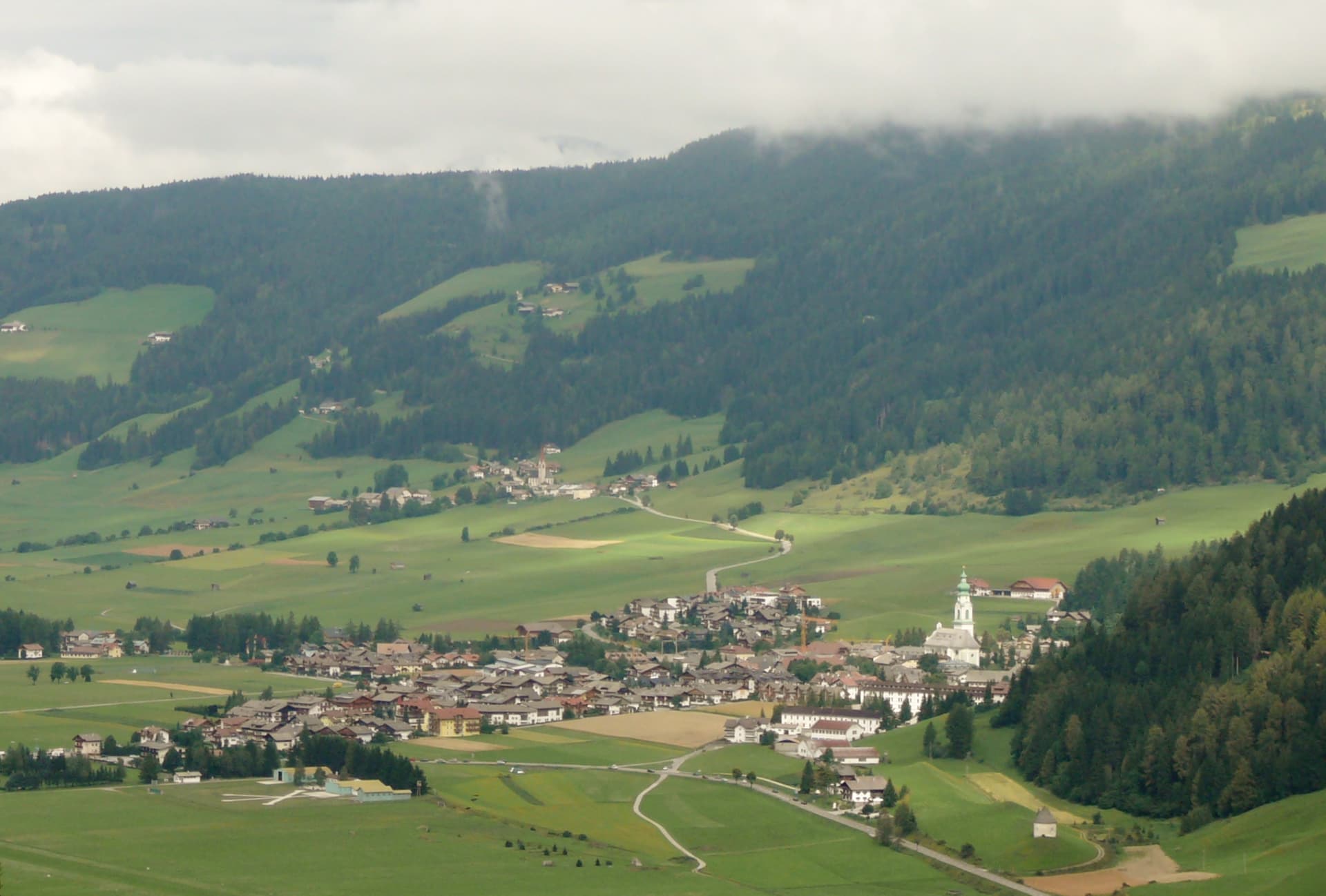
The Val Pusteria gateway to the Tre Cime di Lavaredo, where Mahler wrote his last three symphonies in a cabin behind town.
Brunico
Province: Bolzano
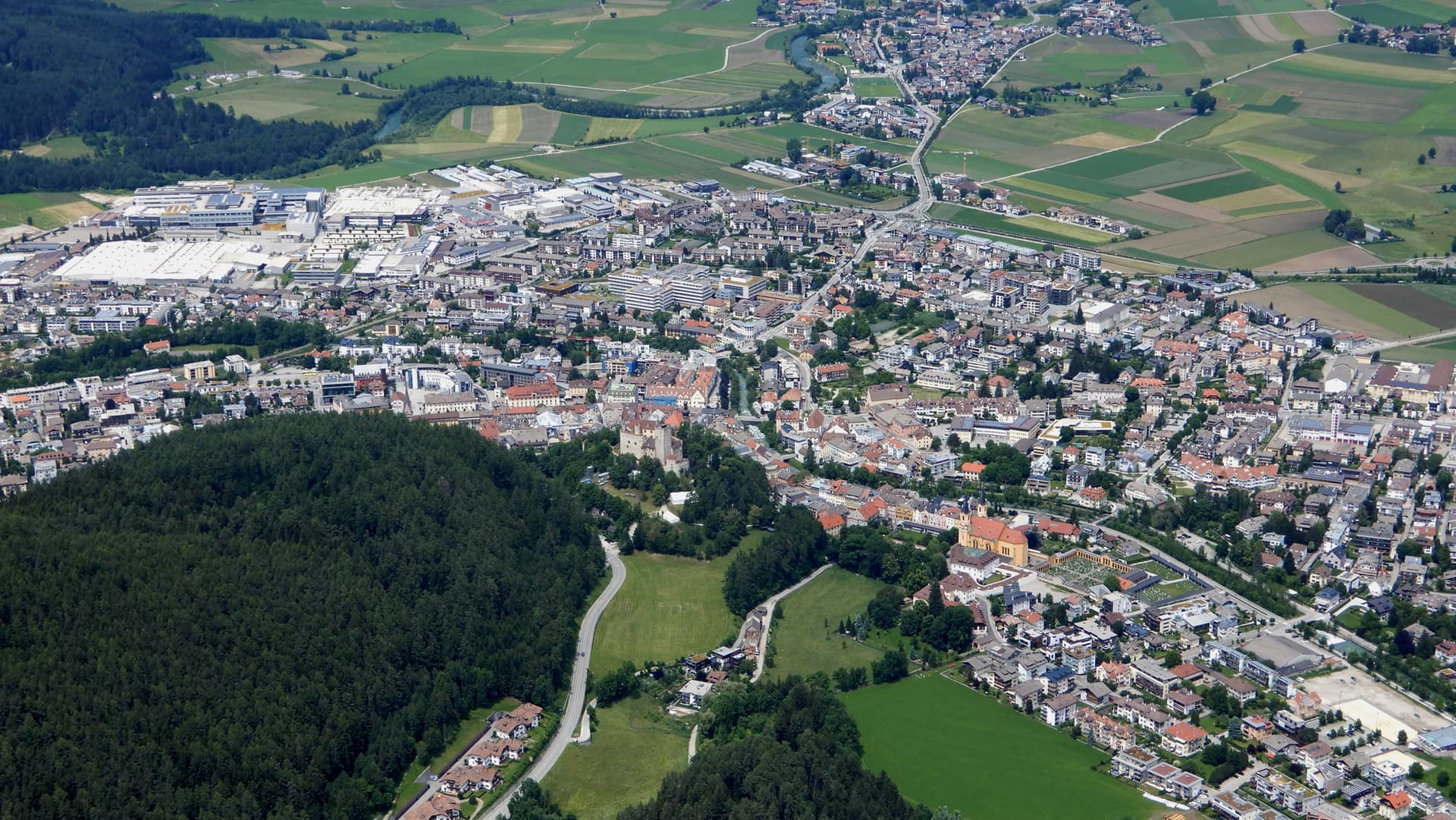
The largest town of the Pustertal at 838 metres, built around the prince-bishop's castle and the Stadtgasse, with Plan de Corones rising above the valley.
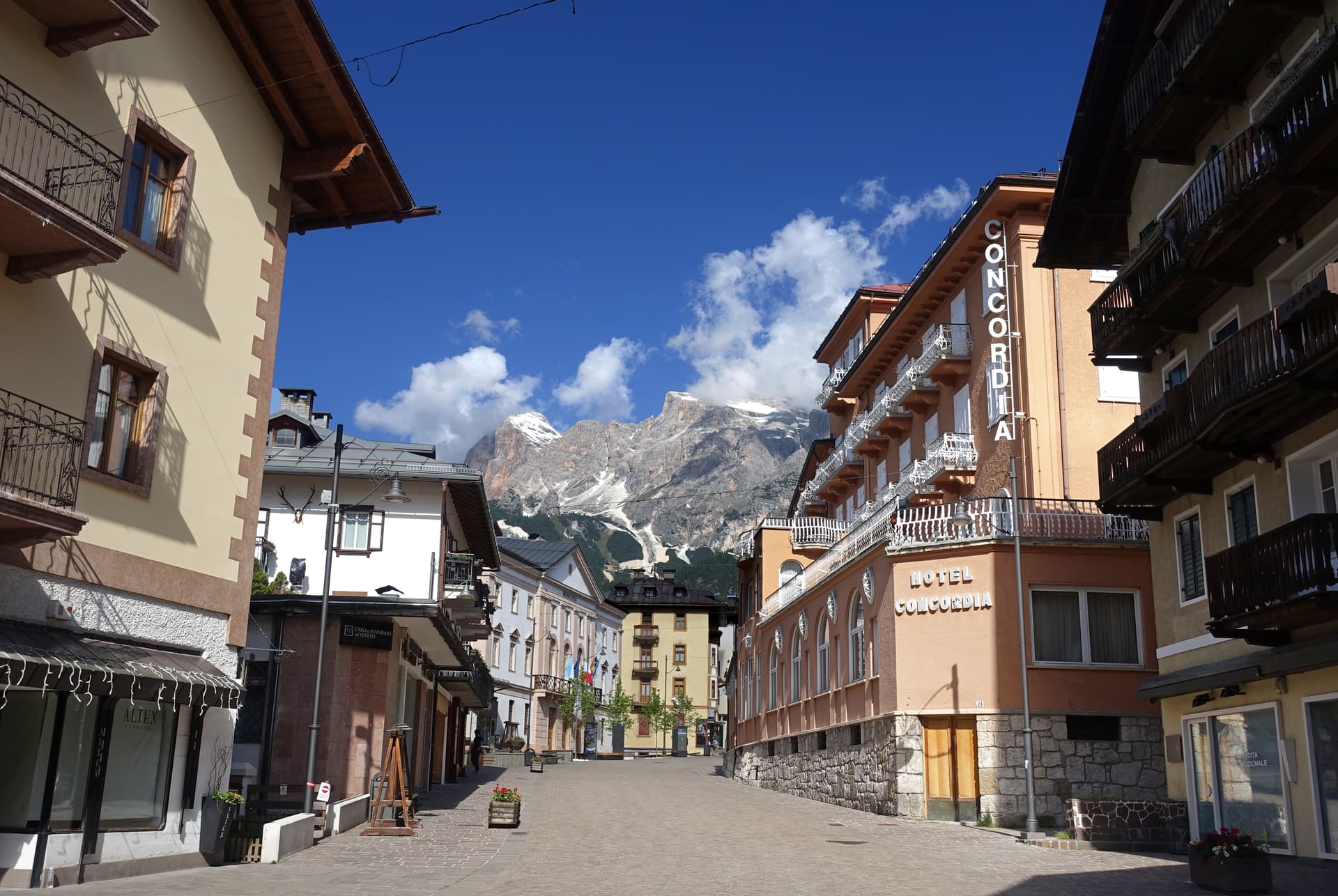
Cortina d'Ampezzo
Province: Belluno
The Queen of the Dolomites at 1,224 meters, host of the 1956 Winter Olympics and co-host of Milano-Cortina 2026.
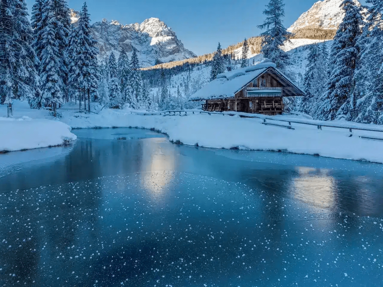
Sappada
Province: Udine
A German-speaking alpine village at 1,250 meters near the source of the Piave, settled from East Tyrol in the eleventh century and Italian since 1852.
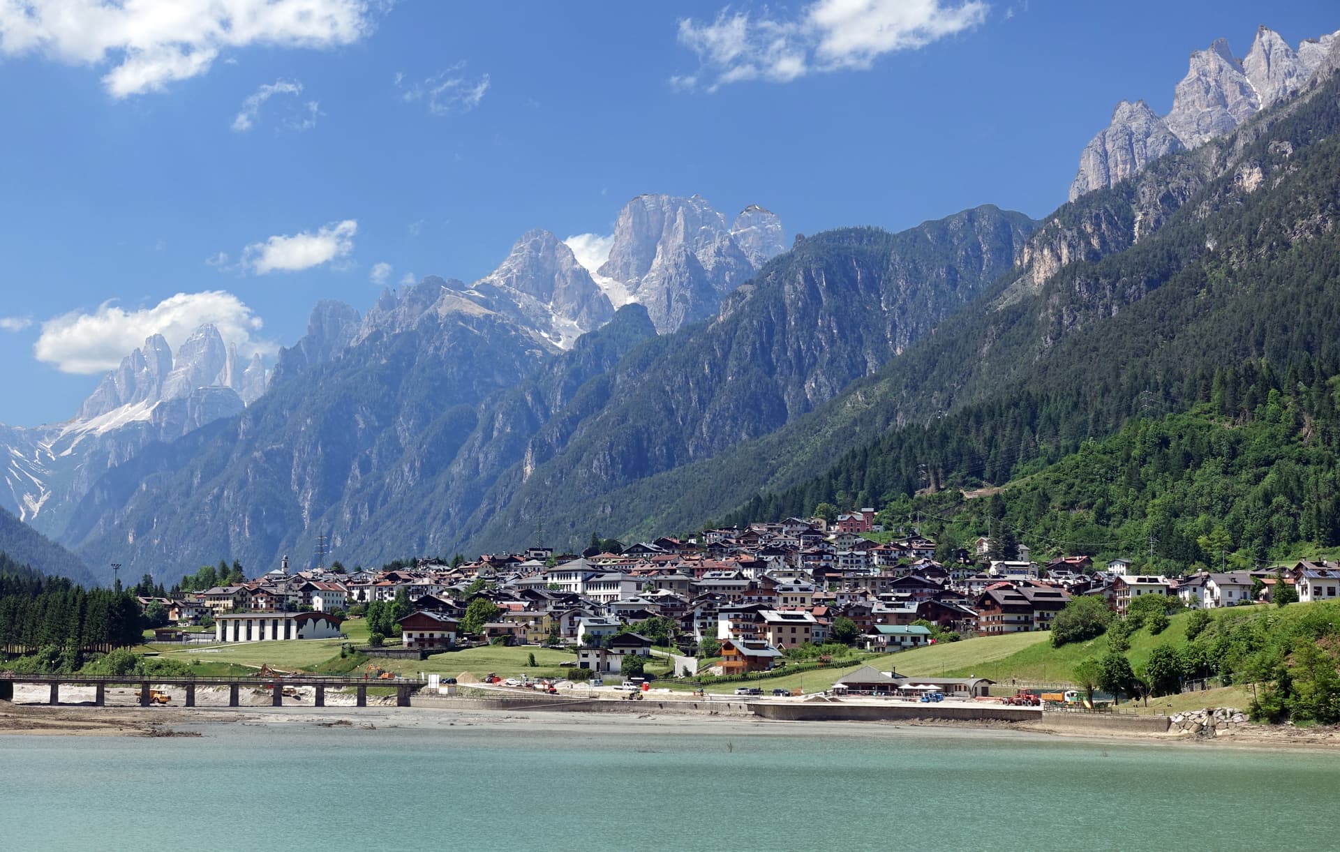
Auronzo di Cadore
Province: Belluno
A five-kilometer ribbon town along an artificial lake at 864 meters, the gateway to the Tre Cime di Lavaredo and Lake Misurina.
⛷️ Ski Area
More Ski Area towns in Trentino-Alto Adige/Südtirol
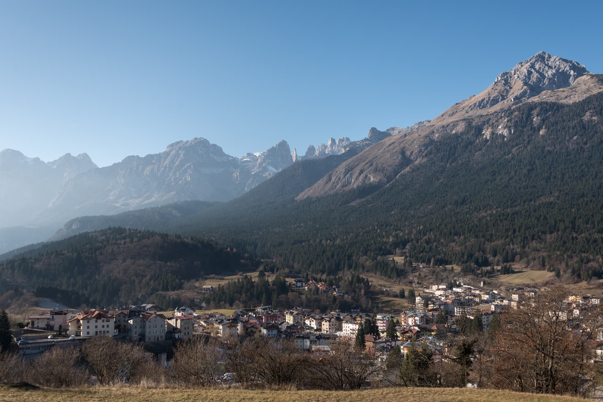
Andalo
Province: Trento
An alpine pass at 1,042 metres on the Paganella plateau, with the Brenta Dolomites on one side and a periodic lake that empties and refills.
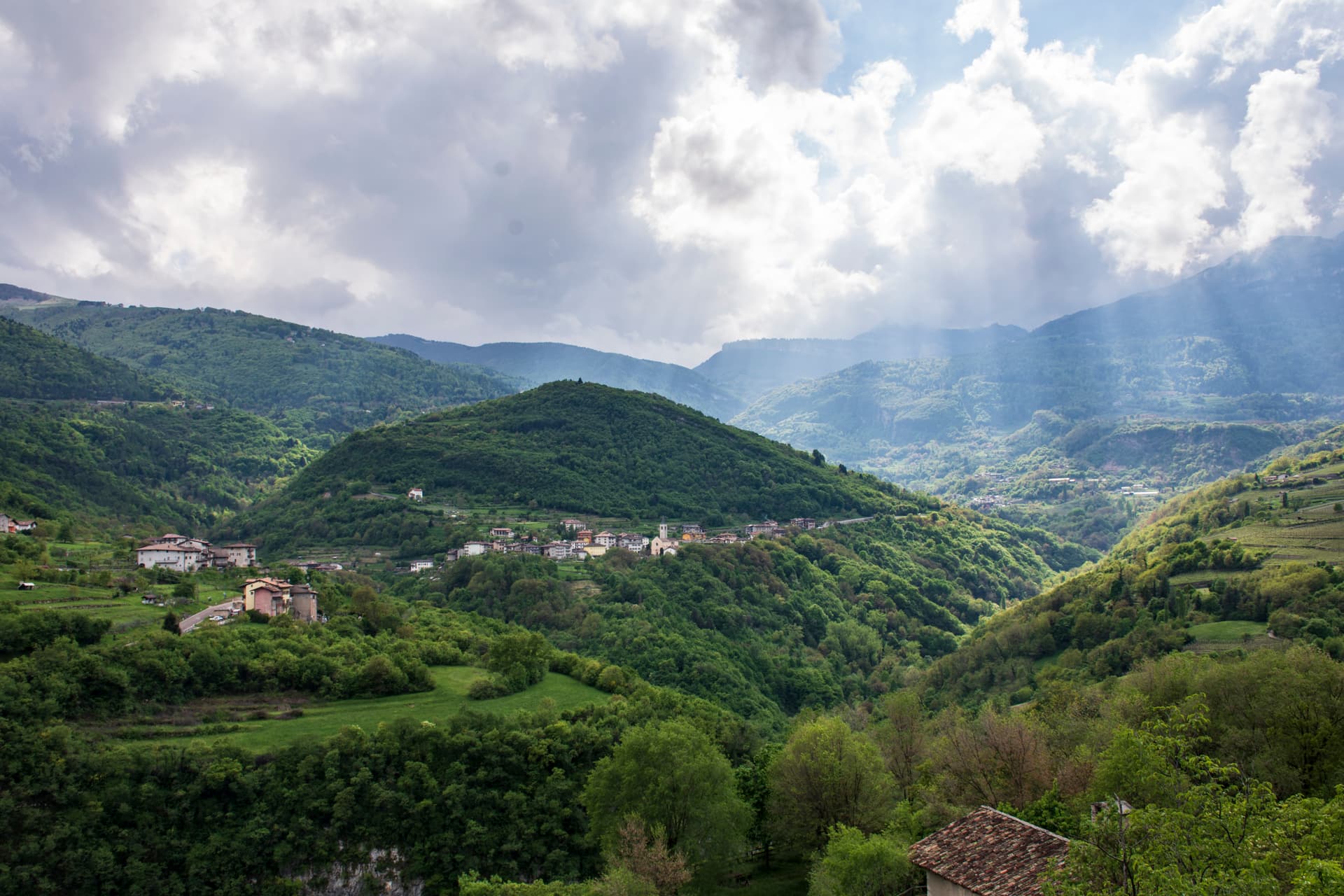
Brentonico
Province: Trento
The Monte Baldo plateau town between Lake Garda and the Vallagarina, with chestnut groves, war trenches and a botanical garden of the Garden of Italy.
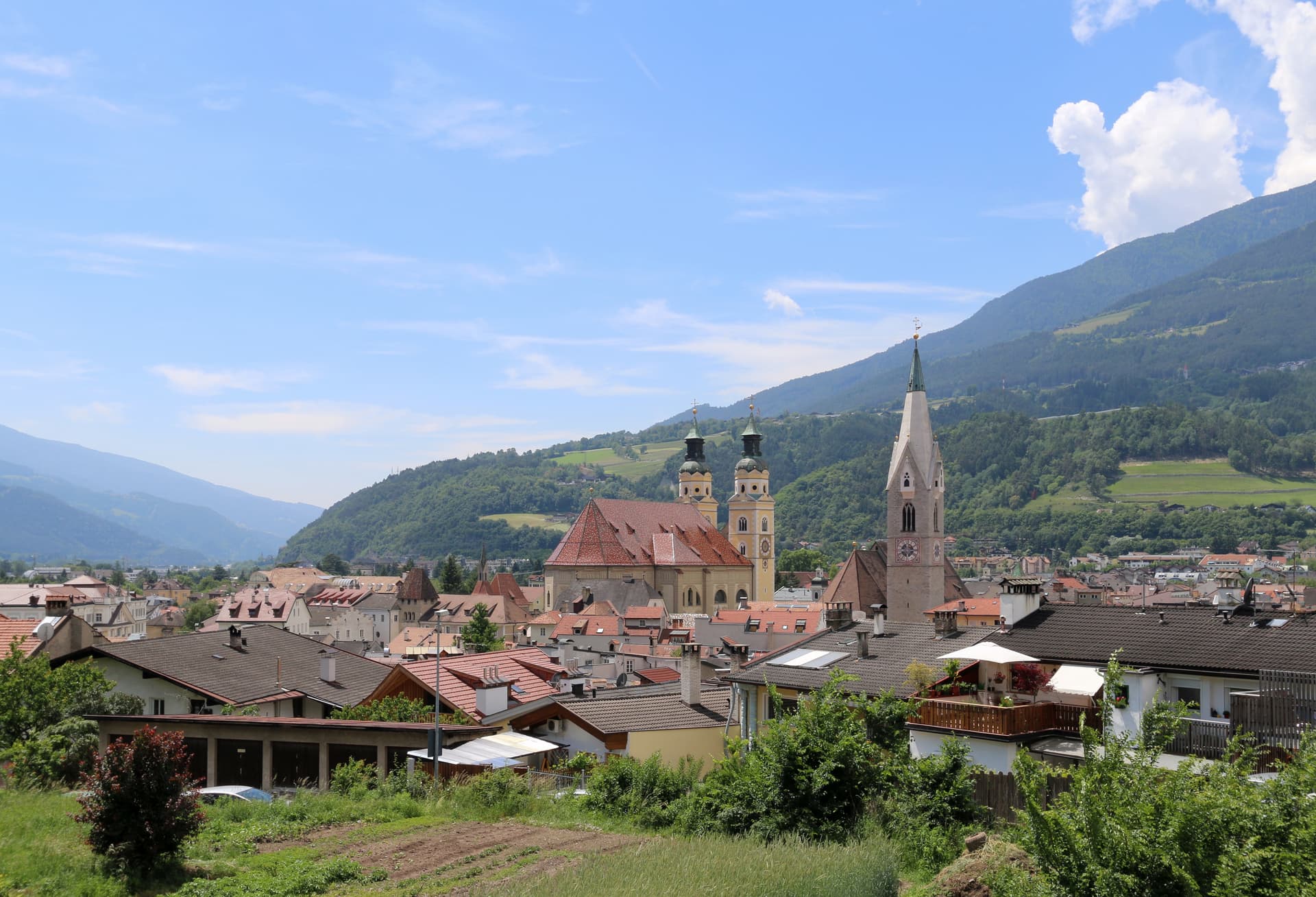
Bressanone
Province: Bolzano
The oldest town in Tyrol, a prince-bishopric for eight centuries at the confluence of the Eisack and Rienz, below the Plose ridge.
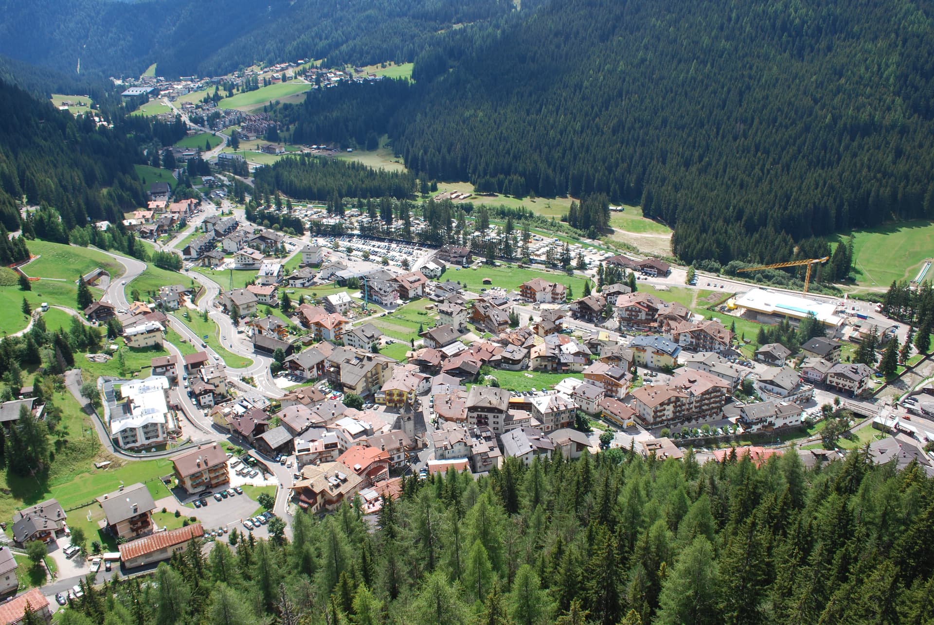
Canazei
Province: Trento
A Ladin village at 1,465 metres at the head of Val di Fassa, ringed by Marmolada, Sella and Sassolungo and the Sellaronda circuit.
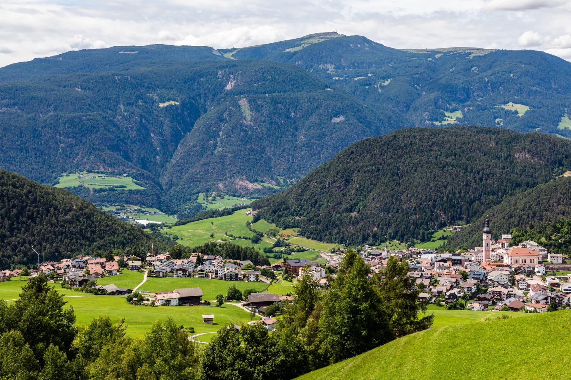
Kastelruth
Province: Bolzano
South Tyrolean gateway to the Alpe di Siusi at 1,060 metres, eighty-two-metre bell tower over the square, home of the Kastelruther Spatzen.