

Trentino-South Tyrol · Bolzano
Kastelruth
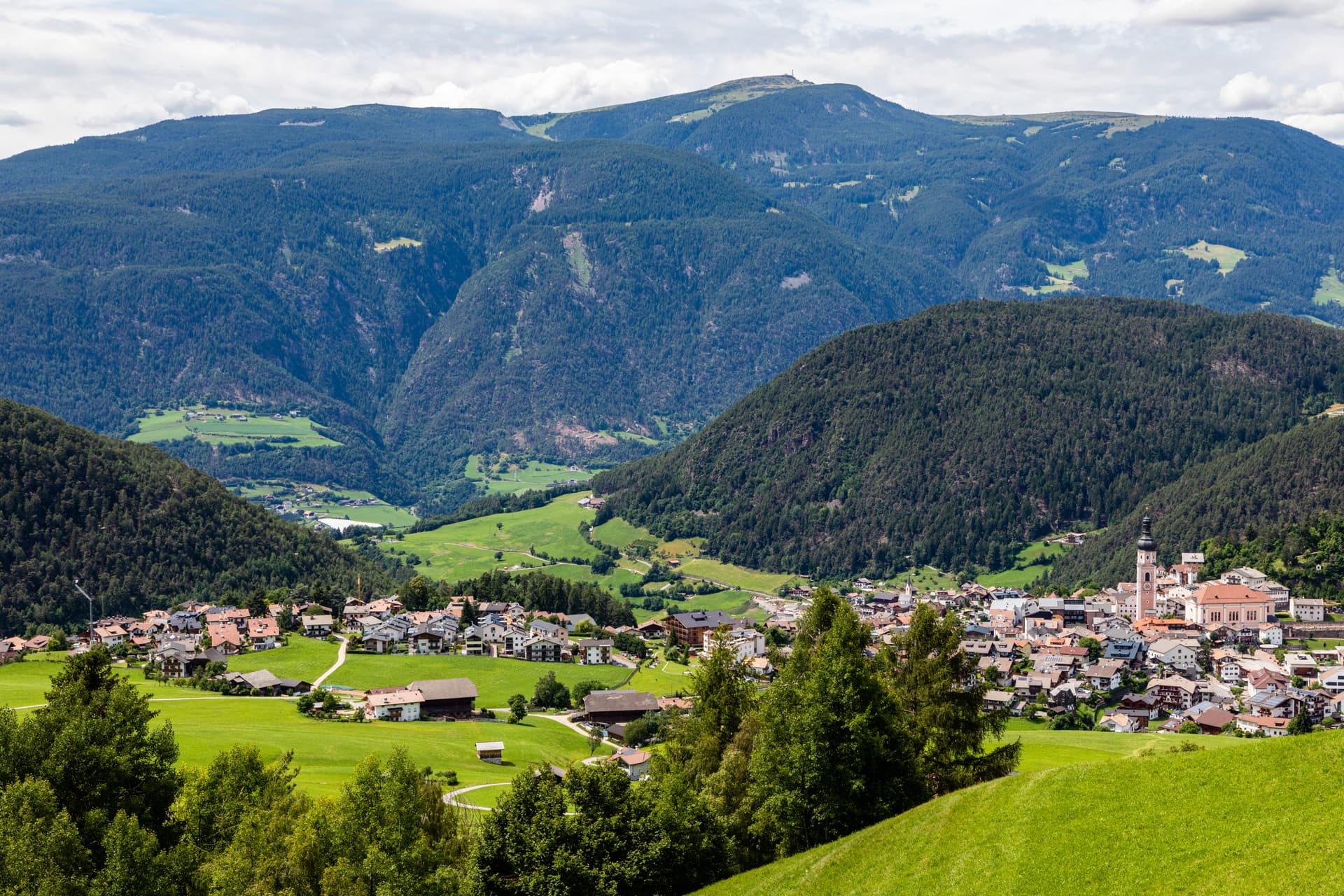
South Tyrolean gateway to the Alpe di Siusi at 1,060 metres, eighty-two-metre bell tower over the square, home of the Kastelruther Spatzen.
Known for
ALPE DI SIUSI
Europe's largest high-altitude meadow at 5,400 hectares, reached from the commune territory, with the Sciliar and Sassolungo framing it on either side.
THE BELL TOWER
Eighty-two-metre baroque campanile standing separate from the parish church in the central square, the silhouette of Castelrotto from any direction.
KASTELRUTHER SPATZEN
Folk band founded in the village in 1975, more than fifteen million records sold and a museum on the central square, a German-language touring institution.
When to visit
Best · Jun–Sep, Dec–Mar
- J
- F
- M
- A
- M
- J
- J
- A
- S
- O
- N
- D
- Best
- Hot or crowded
- Quiet
- Mostly closed
Why come
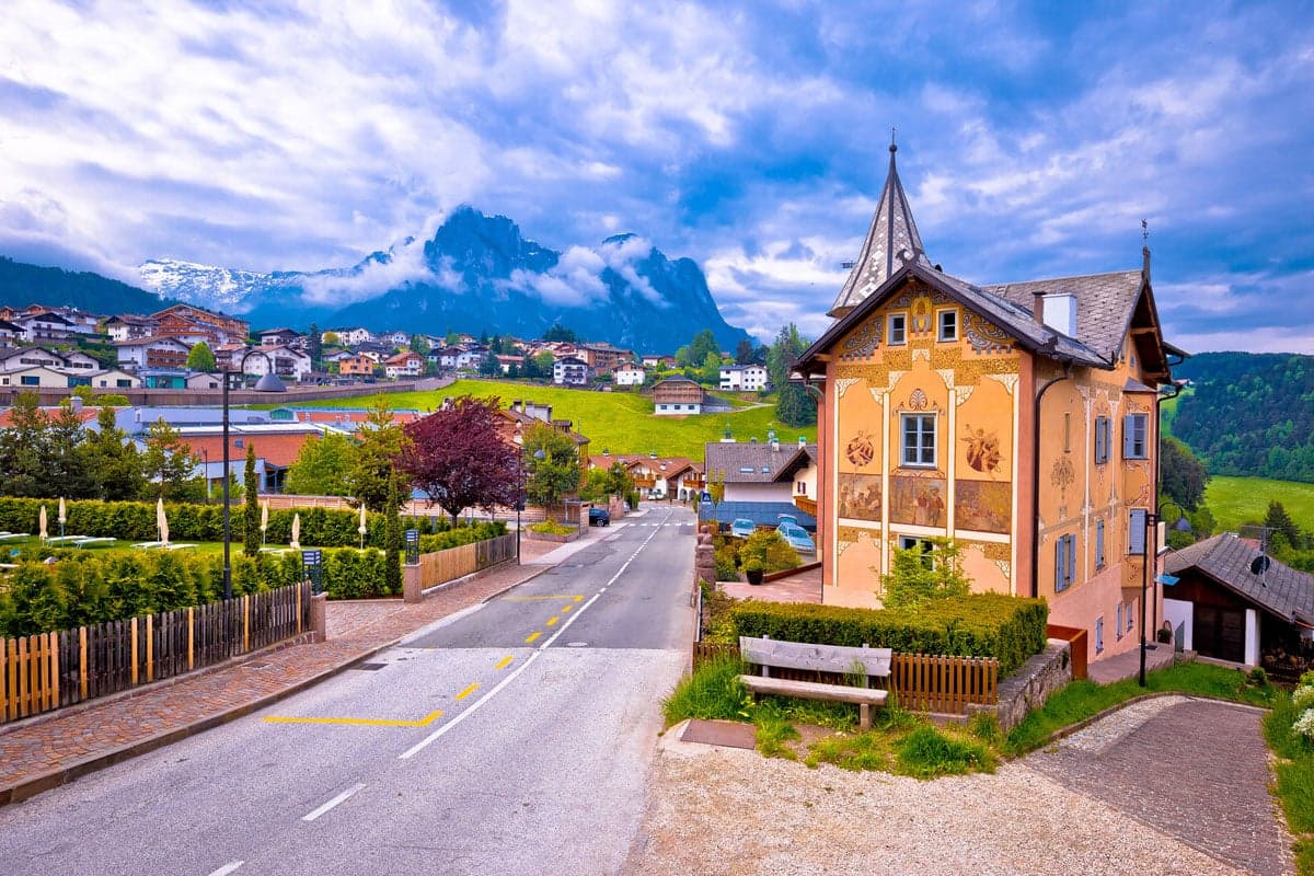
Castelrotto, in German Kastelruth and in Ladin Ciastel, sits at 1,060 metres on a shelf below the Sciliar and the Alpe di Siusi, twenty kilometres northeast of Bolzano. The commune is the main gateway to the Seiser Alm, Europe's largest high-altitude meadow at 5,400 hectares, and its territory rises from 720 metres at San Vigilio to over 2,400 metres on the Sciliar massif. The name first appears in the tenth century and goes back to the Castellum Ruptum, a destroyed castle on the Calvary hill above the village.
The parish church of Saints Peter and Paul stands in the centre with its detached eighty-two-metre bell tower, the silhouette of the village from any approach. Of around 6,500 residents, 82 per cent speak German as their first language, 15 per cent Ladin and 3 per cent Italian, the demographic that gives Castelrotto its Tyrolean character. The Kastelruther Spatzen, the folk band founded here in 1975, have sold more than fifteen million records and made the village name a German-language household reference.
The Sunday letter
We haven’t written Kastelruth’s letter yet.
One town every Sunday, with the photo, the food, the festa. Be there when this one comes up. Free, by Peter & Sophia from Pietrasanta.
By subscribing you agree to Substack’s Terms of Use, our Privacy Policy and our Information collection notice.
What to see
Campanile della Parrocchiale
Eighty-two-metre baroque bell tower in the centre of Castelrotto, separated from the parish church of Saints Peter and Paul and visible from the surrounding pastures.
Chiesa Parrocchiale dei Santi Pietro e Paolo
Parish church with baroque interior beside the detached bell tower, the principal religious building of the commune since the medieval period.
Alpe di Siusi/Seiser Alm
Largest high-altitude meadow in Europe at 5,400 hectares, reached by cable car from Siusi, with the Sciliar and Sassolungo on either side.
Chiesa di San Valentino
Small Gothic church in a meadow above the village, one of the most photographed views in South Tyrol with the Sciliar massif rising behind it.
Monte Calvario
Hill above the village square, named for the Castellum Ruptum that gave Castelrotto its name, with a small chapel and views down to the centre.
Museo degli Spatzen
Museum on the Kastelruther Spatzen folk group, founded here in 1975, with gold records, costumes and instruments from a fifty-year German-language touring career.
The slow-trip planner
Building a trip? Find where Kastelruth fits in a slow Italy circuit.
Answer five questions. We will shape a geographically coherent slow trip from the 1,000 Italian towns most travelers skip. Yours to save and share.
We recommend
Where to eat and stay
Not our picks, but places the guides put their name to — a Michelin star, a Gambero Rosso fork, a Slow Food snail, a Michelin Key for the hotels. Worth a table, a counter, or a night when you pass through.
Gostner SchwaigeTrattoria
Gostner Schwaige holds two Gambero Rosso prawns.
Lampl Stube dell'Hotel LammRistorante
Two Gambero Rosso forks (81/100), at Lampl Stube dell'Hotel Lamm.
COMO Alpina DolomitesHotel
COMO Alpina Dolomites has one Michelin Key to its name.
Living here
- Population 6,967
- In-betweeni
- Pharmacy in town
- Nearest airport Verona, 2 h 25 min drive
- Regional capital Bolzano, 44 min drive
Tags & datadesignations · numbers · sources
Recognised as
The numbers
- Elevation: 1060 m
- Population: 6,967
- Surface area: 117.9 km²
These figures were compiled from public directories — ISTAT, OpenStreetMap, Wikidata — and from the official listings of the guides named on this page. Town details change; verify with official sources before you travel.
Close by
More towns near Kastelruth
St. Ulrich
Province: Bolzano
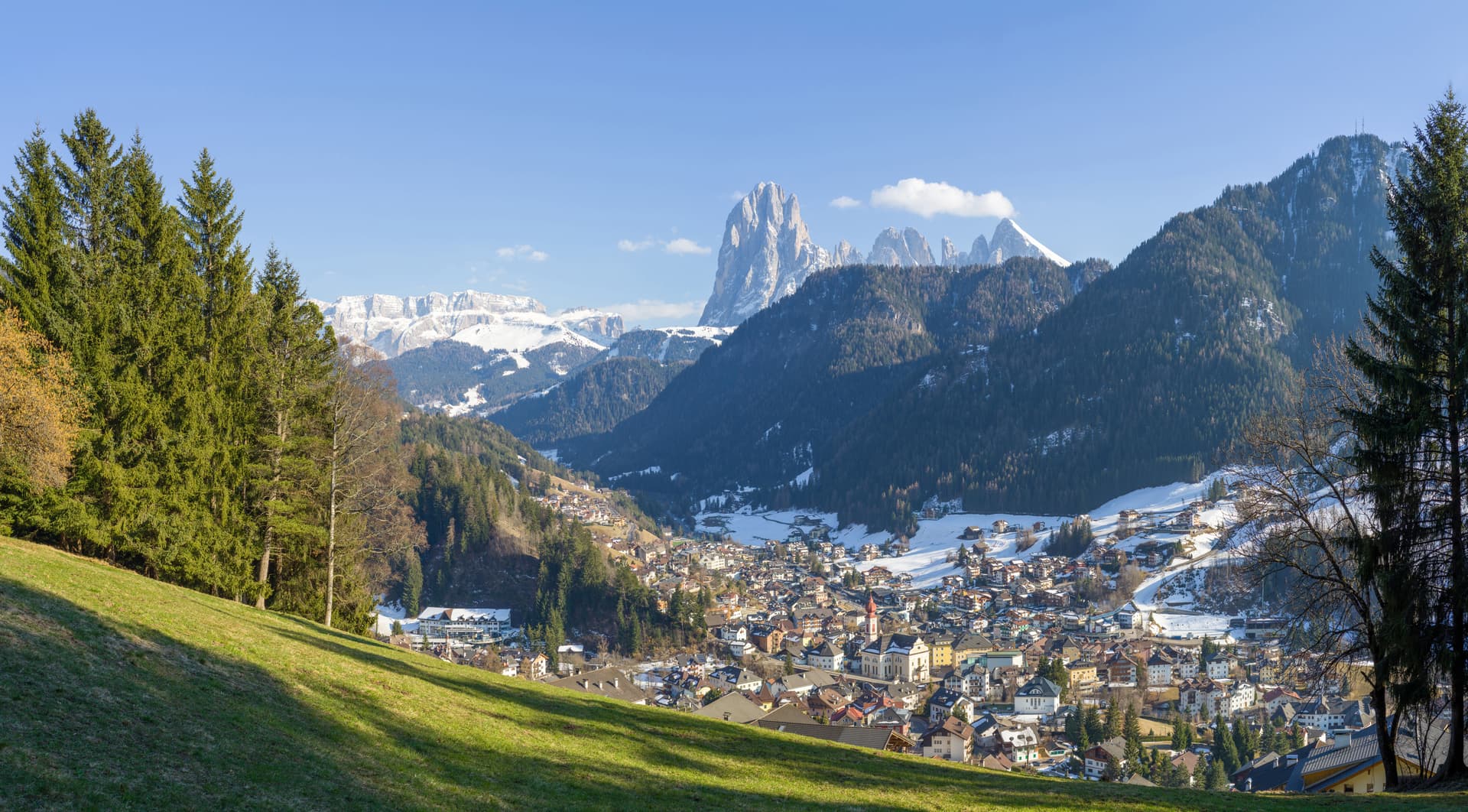
The Ladin capital of Val Gardena, a wood-carving town at 1,236 metres between Seceda and the Alpe di Siusi.
Bressanone
Province: Bolzano
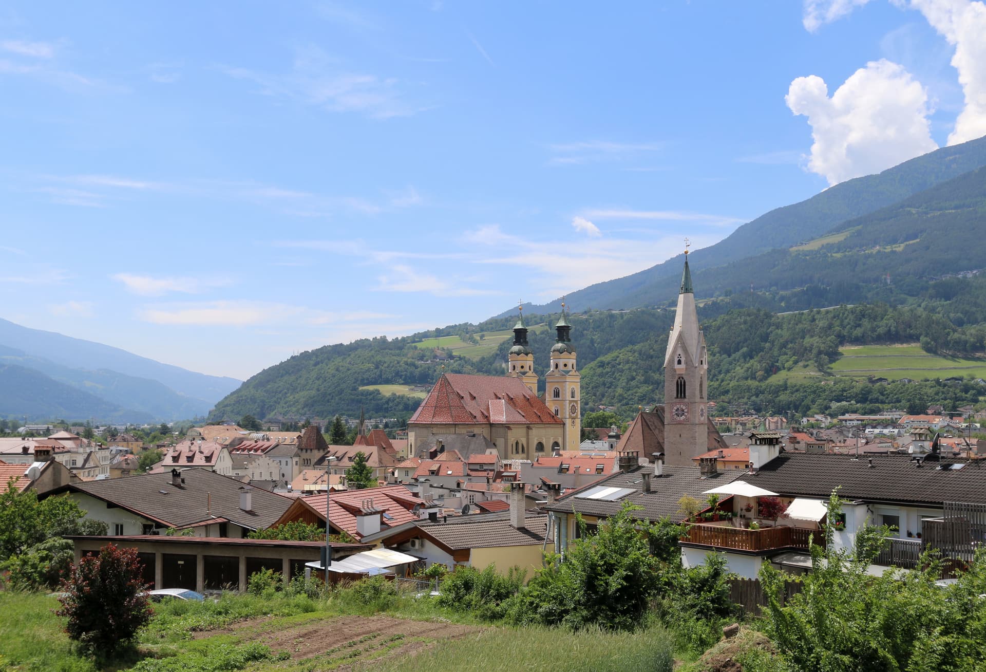
The oldest town in Tyrol, a prince-bishopric for eight centuries at the confluence of the Eisack and Rienz, below the Plose ridge.
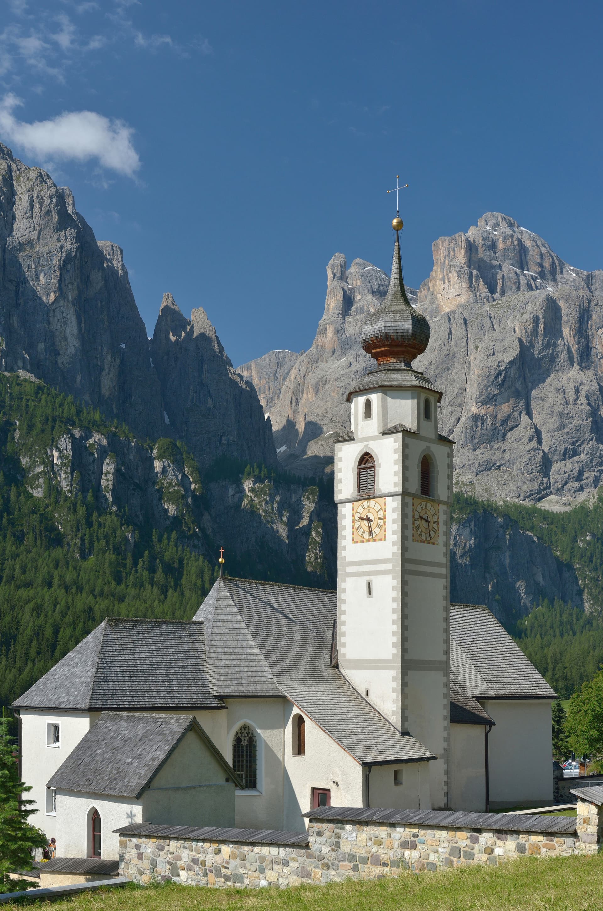
Corvara in Badia
Province: Bolzano
The Ladin centre of Alta Badia at 1,568 metres, at the foot of the Sassongher, on the four-pass Sellaronda ski circuit.
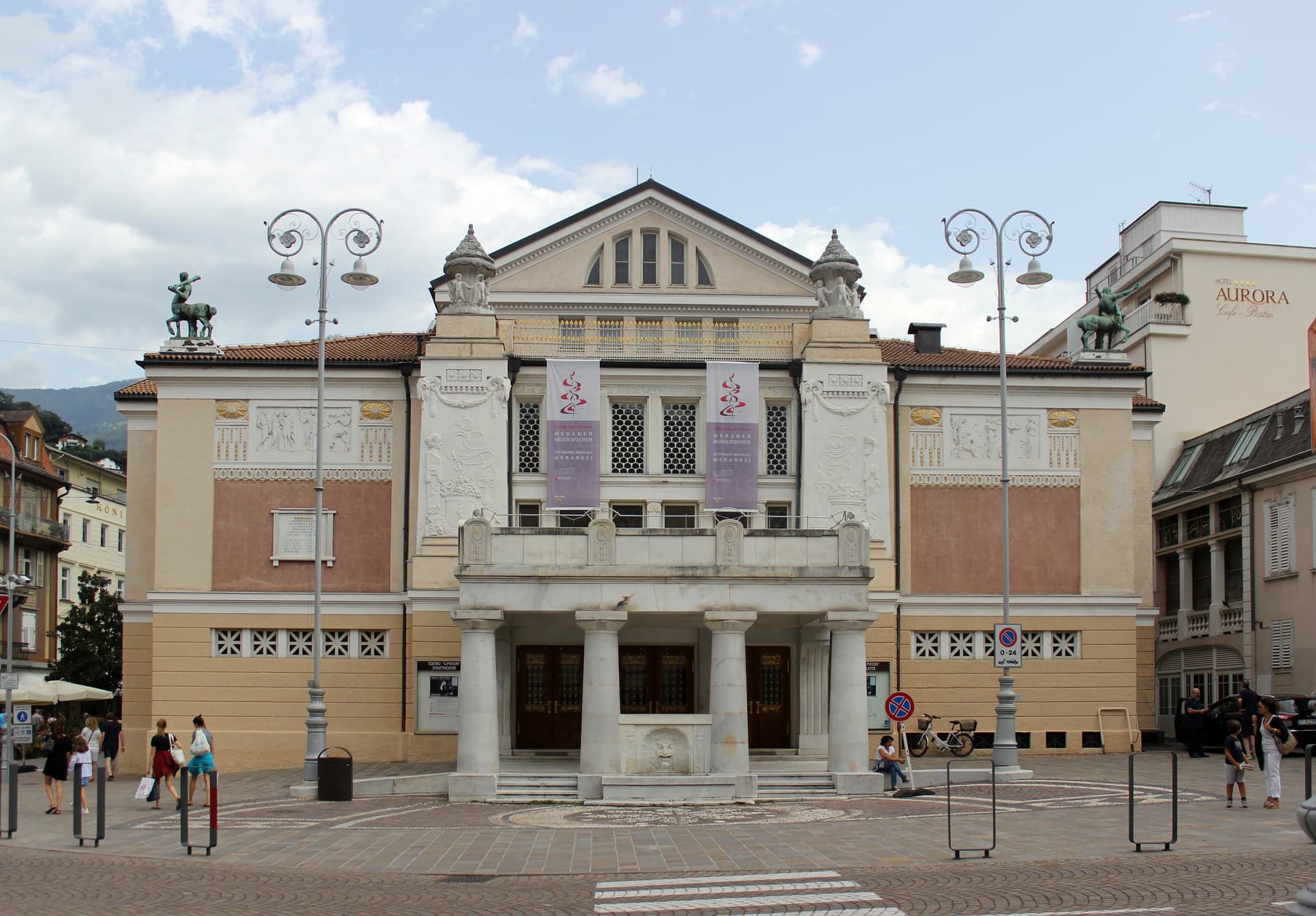
Meran
Province: Bolzano
A Habsburg spa city at 324 metres on the Passer river, palm-lined promenades below 3,000-metre peaks and the gardens where Empress Sissi spent her winters.
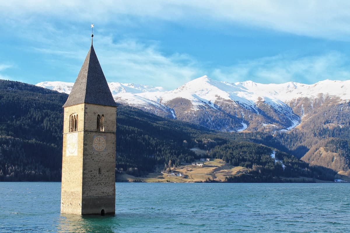
Sterzing
Province: Bolzano
A bilingual mining town at 948 metres on the Brenner road, where a 46-metre tower built in 1472 still divides the old town from the new.
🎨 Borghi più belli d'Italia
More Borghi più belli d'Italia towns in Trentino-Alto Adige/Südtirol
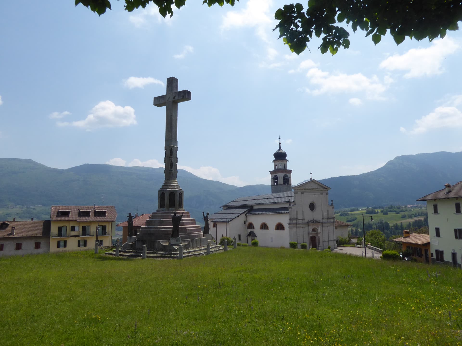
Bleggio Superiore
Province: Trento
A scattered Giudicarie commune whose hilltop hamlet of Rango holds the Christmas markets, with a Slow Food walnut grown on the terraces below.
Bondone
Province: Trento
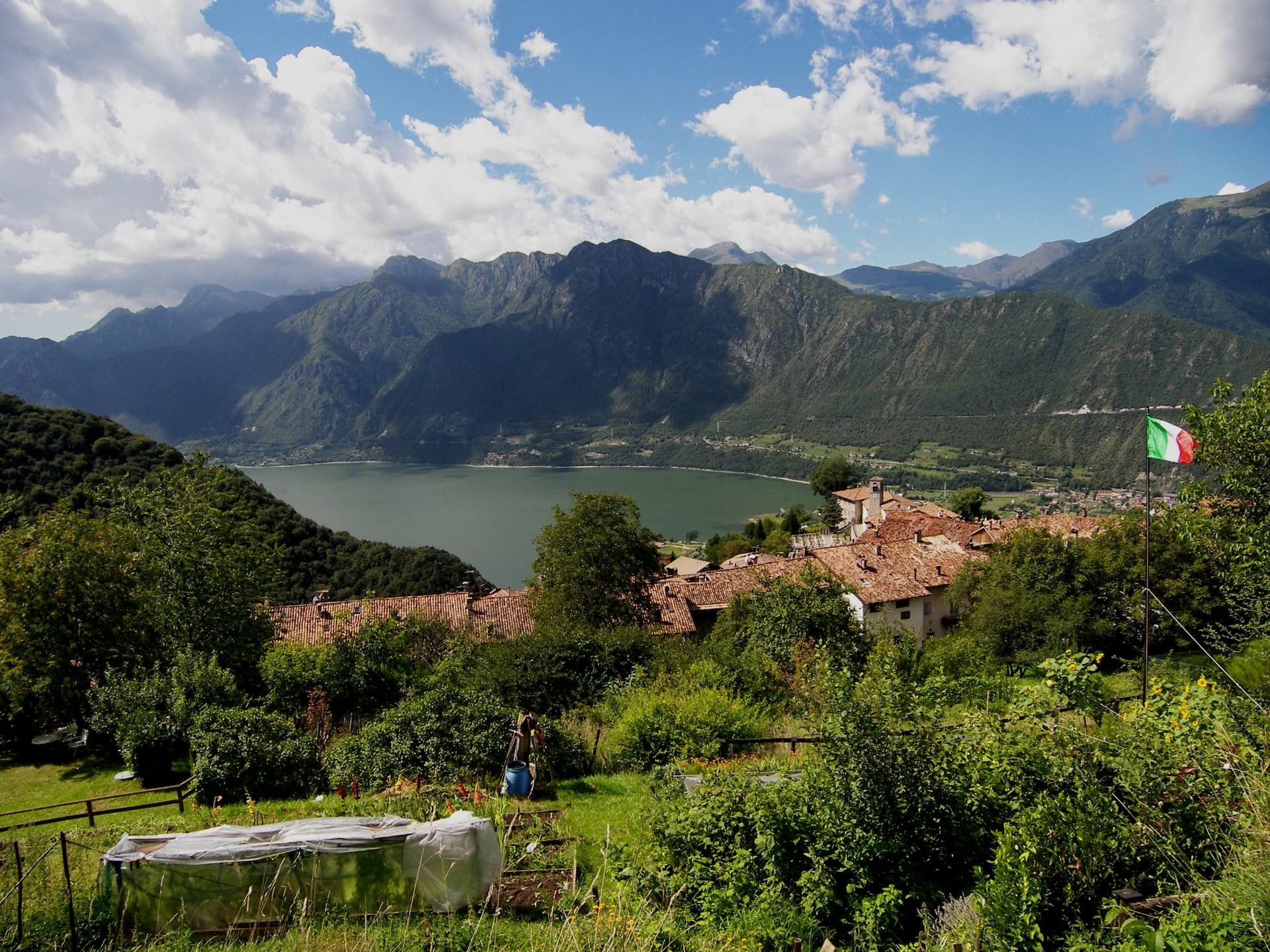
A two-village commune above Lake Idro at the Lombard border, with a Lodron castle on the cliff and a Bandiera Blu shoreline below.
Borgo Valsugana
Province: Trento
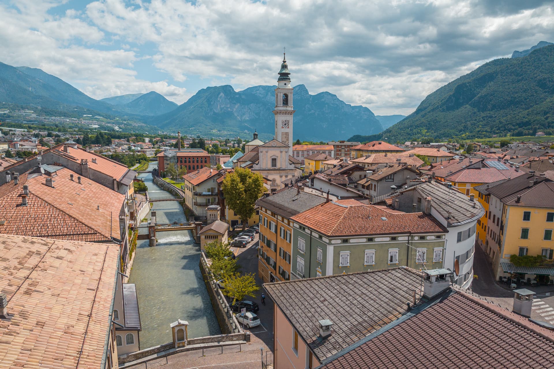
The valley town built on both banks of the Brenta in lower Valsugana, with Castel Telvana above and Arte Sella in the side valley.
Caldes
Province: Trento
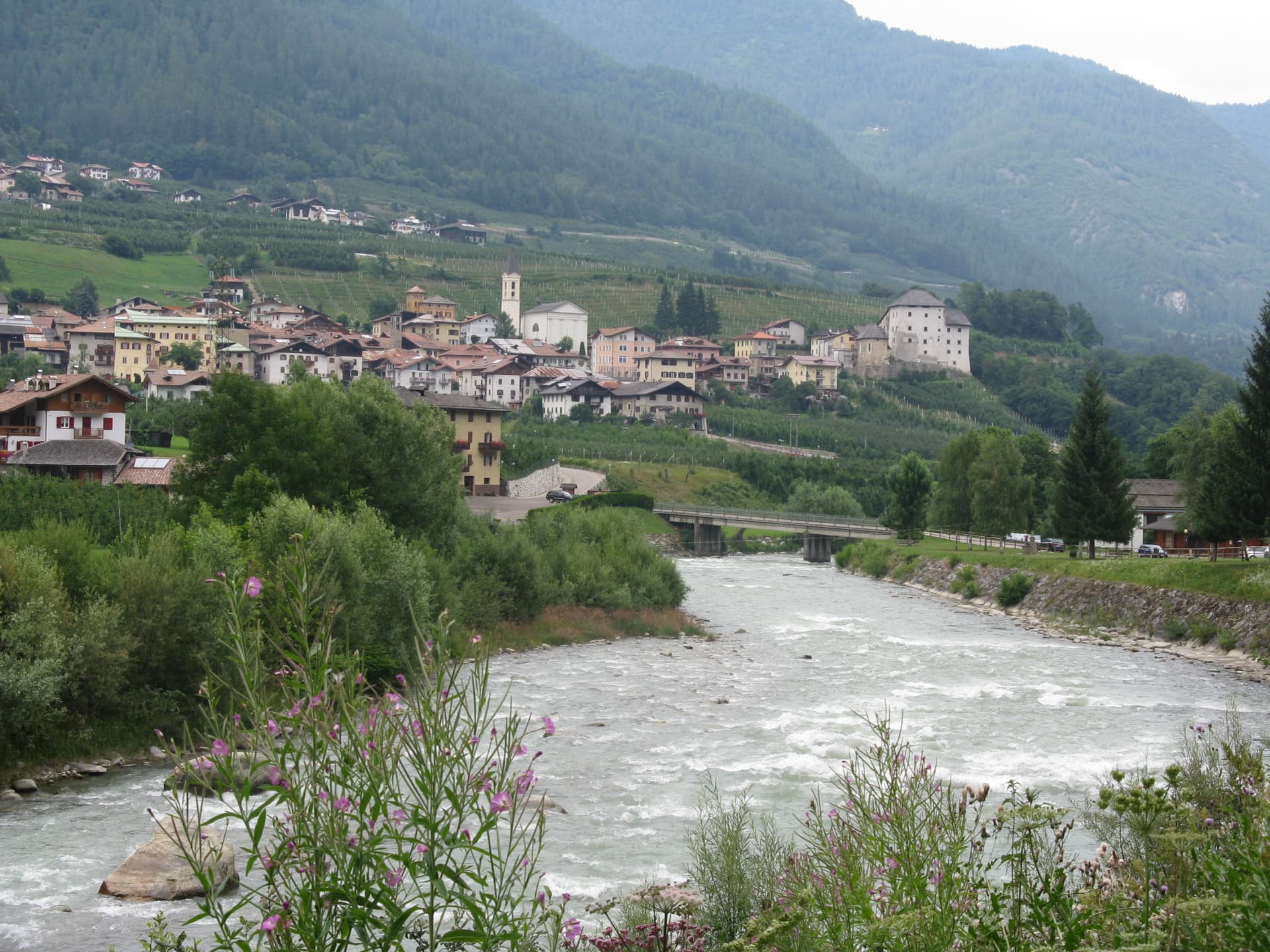
A scattered Val di Sole commune on the Noce, six hamlets gathered around a thirteenth-century tower-house castle that once belonged to the Thun family.
Glurns
Province: Bolzano
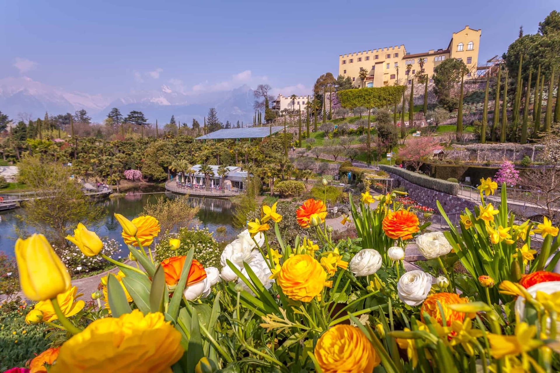
The smallest city in South Tyrol at 937 inhabitants, ringed by intact sixteenth-century walls in the Val Venosta near the Swiss border.