
Trentino-South Tyrol · Bolzano
Glurns
The smallest city in South Tyrol at 937 inhabitants, ringed by intact sixteenth-century walls in the Val Venosta near the Swiss border.
Known for
THE INTACT WALLS
Sixteenth-century circuit of city walls with three gates and seven watchtowers, the only complete medieval fortification in South Tyrol.
SMALLEST CITY
Granted city status in 1304 and still classified as such, despite a population of fewer than a thousand inside the walls.
STELVIO PARK GATEWAY
One of the ten gateway communes of Italy's largest alpine national park, on the southern entrance from the upper Val Venosta.
When to visit
Best · May–Oct
- J
- F
- M
- A
- M
- J
- J
- A
- S
- O
- N
- D
- Best
- Hot or crowded
- Quiet
- Mostly closed
The festa: San Pancrazio, 12 May
Why come
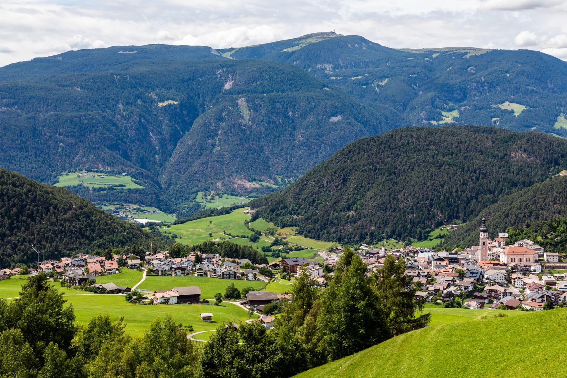
Glorenza sits at 907 metres in the upper Val Venosta, twenty minutes by car from both the Austrian and Swiss borders, on the Adige river at the southern entrance to the Stelvio National Park. The town holds city status, awarded by Emperor Henry of Bohemia in 1304, despite a population of fewer than a thousand. After the Battle of Calven in 1499, the Habsburgs under Emperor Maximilian I rebuilt Glorenza as a bulwark against the forces of the Three Leagues of Graubünden.
The new city walls of the sixteenth century, with three gates, seven watchtowers and a continuous patrol path, still enclose the historic core, the only complete medieval fortification surviving in South Tyrol. Inside the walls the streets are paved in cobble and the buildings are unbroken three-storey Lauben arcades. Outside the walls, on the river, the parish church of San Pancrazio holds late Gothic frescoes. The Stelvio National Park lists Glorenza as one of its ten gateway communes.
The Sunday letter
We haven’t written Glurns’s letter yet.
One town every Sunday, with the photo, the food, the festa. Be there when this one comes up. Free, by Peter & Sophia from Pietrasanta.
By subscribing you agree to Substack’s Terms of Use, our Privacy Policy and our Information collection notice.


What to see
Mura cittadine
Sixteenth-century city walls built under Emperor Maximilian I after 1499, with three gates, seven watchtowers and a continuous patrol path, the only intact medieval fortification in South Tyrol.
Centro storico
Walled core of unbroken three-storey Lauben arcades along the two main streets, paved in stone and listed on the Borghi più belli d'Italia.
Chiesa di San Pancrazio
Parish church just outside the walls on the bank of the Adige, with a Gothic nave and a series of late medieval wall frescoes inside.
Parco Nazionale dello Stelvio
Italy's largest alpine national park, with Glorenza listed as one of ten gateway communes at the southern entrance from the Val Venosta.
Torri delle mura
Seven watchtowers along the city wall, each tied to one of the three gates, with the patrol path running between them along the inside face of the wall.
The slow-trip planner
Building a trip? Find where Glurns fits in a slow Italy circuit.
Answer five questions. We will shape a geographically coherent slow trip from the 1,000 Italian towns most travelers skip. Yours to save and share.
Living here
- Population 937
- Very remotei
- Pharmacy: none mapped
- Train station in the comune
- Nearest airport Verona, 3 h 19 min drive
- Regional capital Bolzano, 1 h 42 min drive
Tags & datadesignations · numbers · sources
Recognised as
The numbers
- Elevation: 907 m
- Population: 937
- Surface area: 13.22 km²
These figures were compiled from public directories — ISTAT, OpenStreetMap, Wikidata — and from the official listings of the guides named on this page. Town details change; verify with official sources before you travel.
Close by
More towns near Glurns

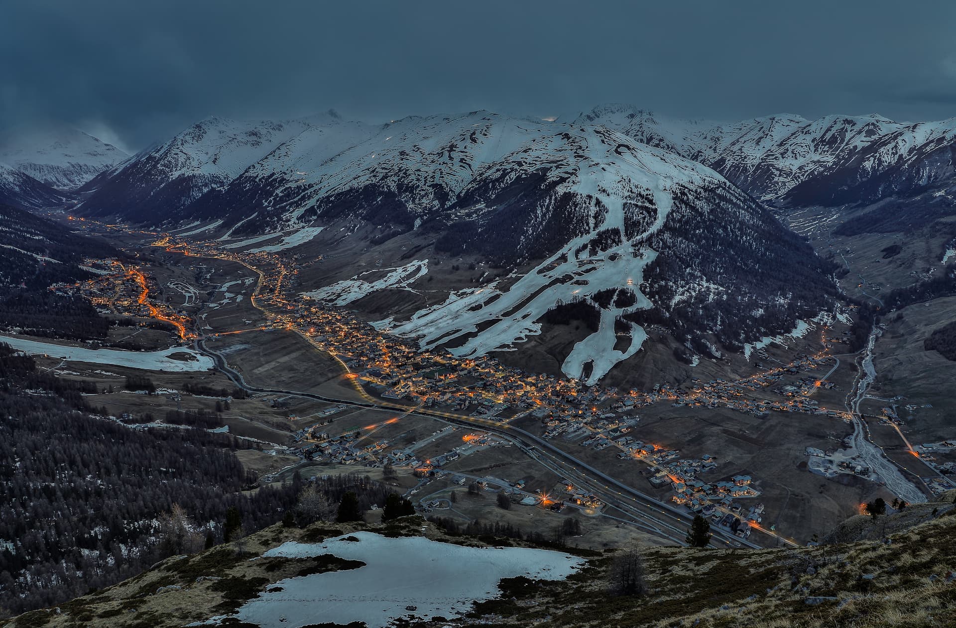
Bormio
Province: Sondrio
An Alpine spa town at 1,225 meters where three high passes meet and Roman thermal water has fed the baths for two thousand years.
Livigno
Province: Sondrio
At 1,816 meters in the Italian Alps near the Swiss border, a duty-free ski valley that drains north into the Black Sea, not the Mediterranean.
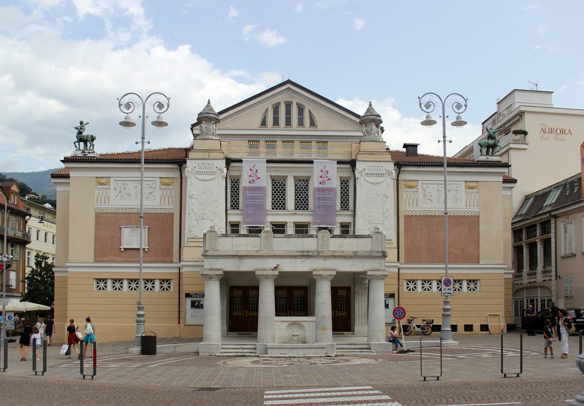
Meran
Province: Bolzano
A Habsburg spa city at 324 metres on the Passer river, palm-lined promenades below 3,000-metre peaks and the gardens where Empress Sissi spent her winters.
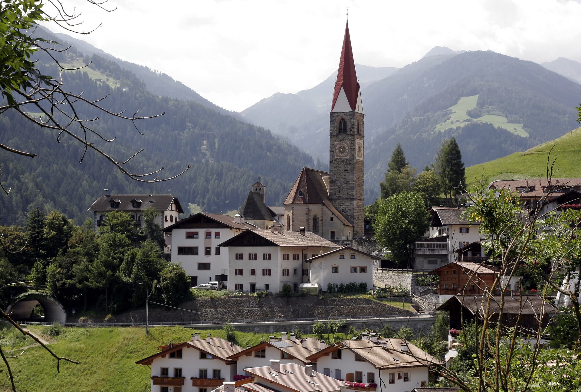
San Pancrazio
Province: Bolzano
A South-Tyrolean village at 736 metres on the entrance of the Ultental/Val d'Ultimo, German-speaking St. Pankraz, the gateway to one of the most isolated alpine valleys in the Adige basin and the centuries-old larch forests of the Lahnerlärchen.
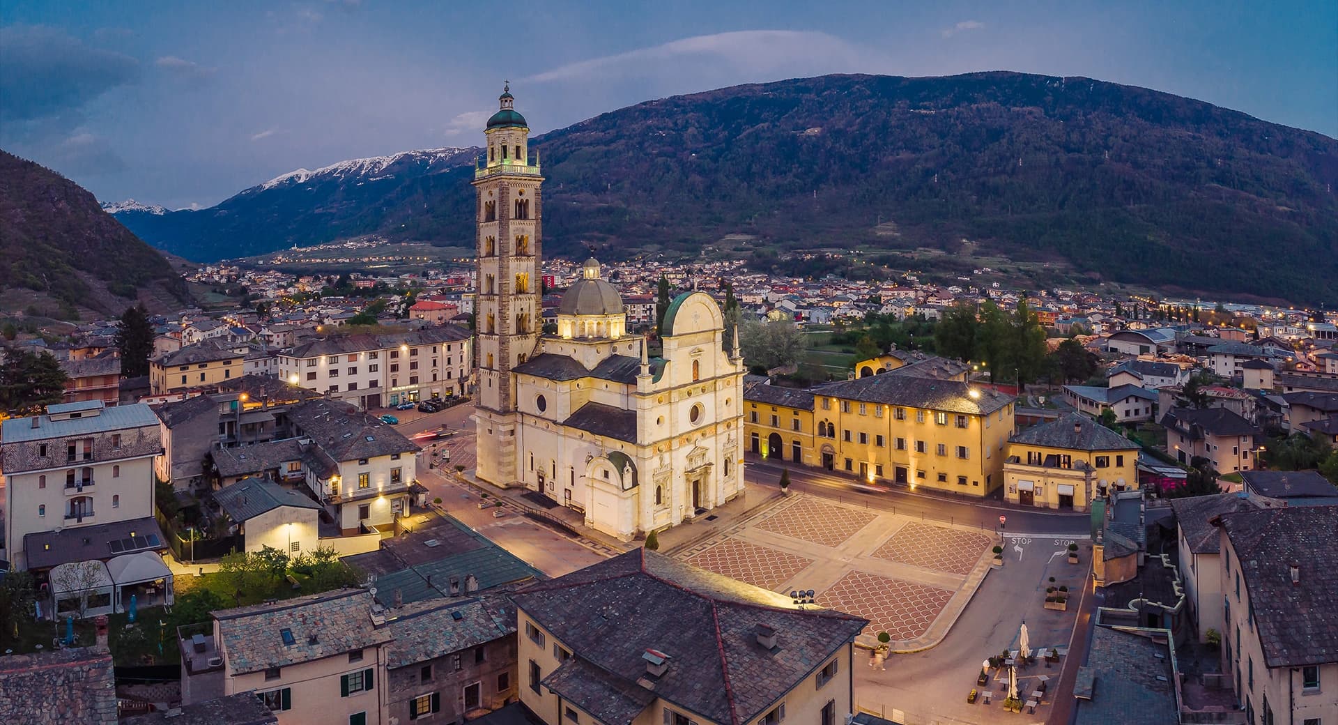
Tirano
Province: Sondrio
A Valtellina town at 441 meters where the Bernina railway from St Moritz reaches Italy, beneath terraced Nebbiolo vineyards.
🎨 Borghi più belli d'Italia
More Borghi più belli d'Italia towns in Trentino-Alto Adige/Südtirol
Bleggio Superiore
Province: Trento
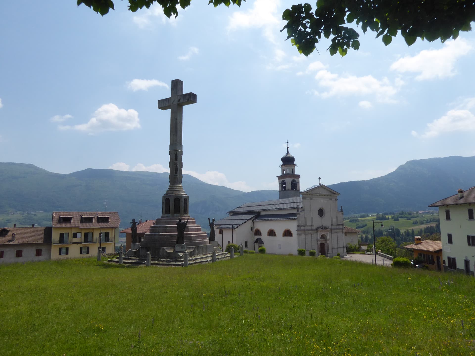
A scattered Giudicarie commune whose hilltop hamlet of Rango holds the Christmas markets, with a Slow Food walnut grown on the terraces below.
Bondone
Province: Trento
A two-village commune above Lake Idro at the Lombard border, with a Lodron castle on the cliff and a Bandiera Blu shoreline below.
Borgo Valsugana
Province: Trento
The valley town built on both banks of the Brenta in lower Valsugana, with Castel Telvana above and Arte Sella in the side valley.
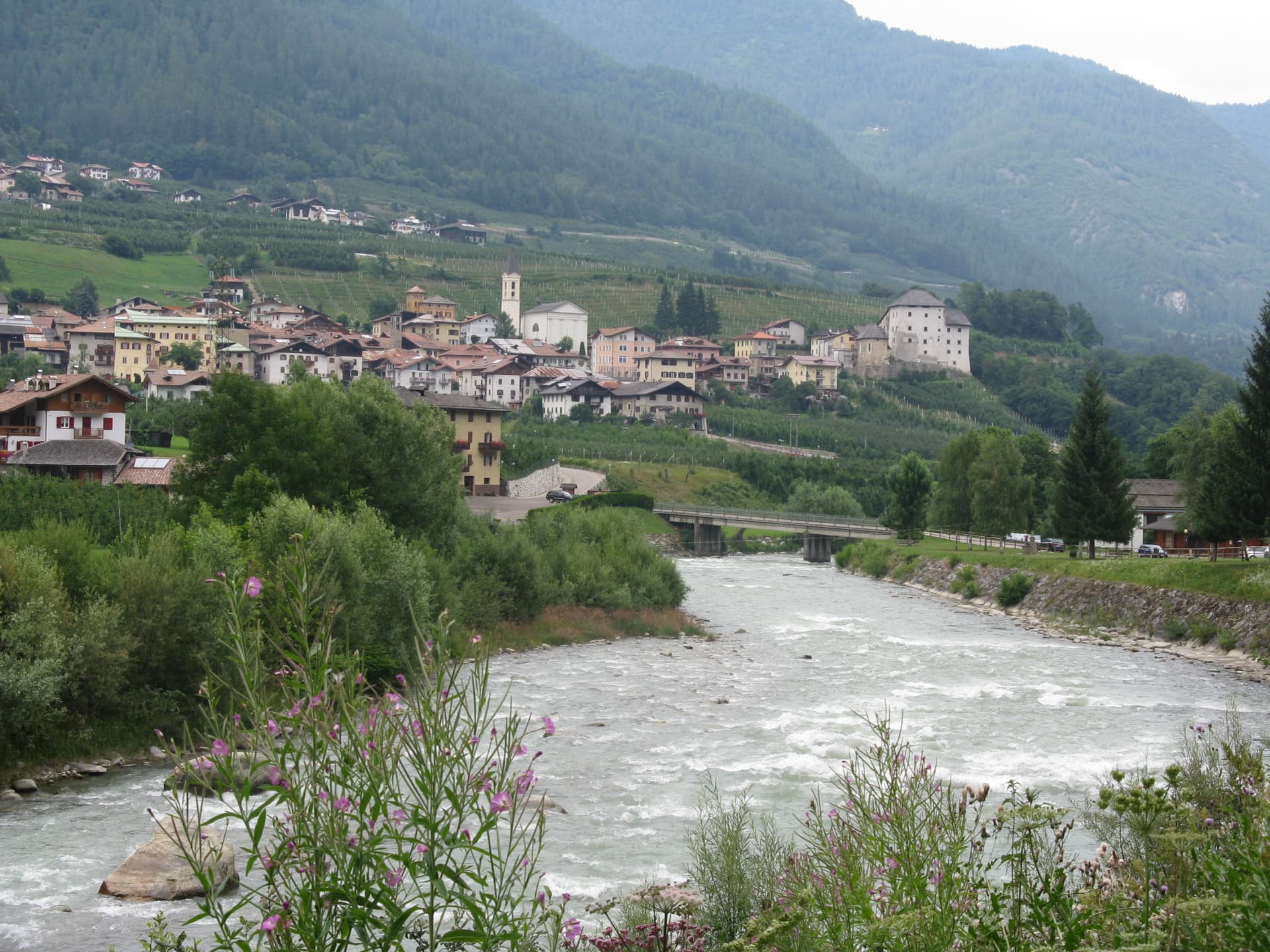
Caldes
Province: Trento
A scattered Val di Sole commune on the Noce, six hamlets gathered around a thirteenth-century tower-house castle that once belonged to the Thun family.
Kastelruth
Province: Bolzano
South Tyrolean gateway to the Alpe di Siusi at 1,060 metres, eighty-two-metre bell tower over the square, home of the Kastelruther Spatzen.