
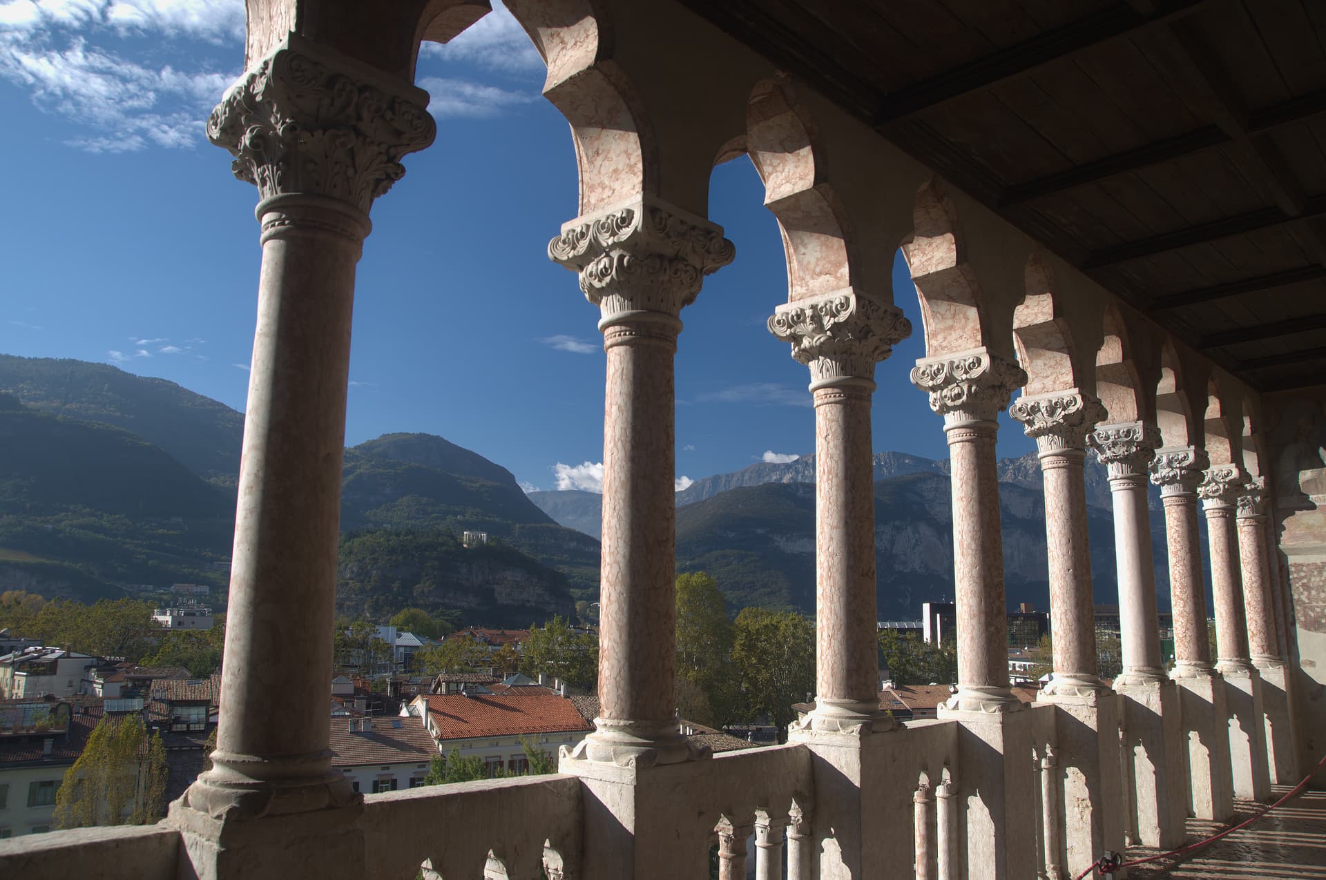
Trentino-South Tyrol · Trento
Caldes
A scattered Val di Sole commune on the Noce, six hamlets gathered around a thirteenth-century tower-house castle that once belonged to the Thun family.
Known for
CASTEL CALDES
Thirteenth-century tower-house rebuilt by the Thun family in the fifteenth century, with painted Renaissance rooms and a tradition of legends about the Thun countess.
SIX HAMLETS
Scattered commune of Caldes, Samoclevo, San Giacomo, Cassana, Tozzaga, Bordiana and Bozzana, strung along the Val di Sole slope between 635 and 767 metres.
THE NOCE
Glacial river below the village, one of the most paddled whitewater runs in the Alps, fed by the Adamello-Presanella icefields.
When to visit
Best · May–Oct
- J
- F
- M
- A
- M
- J
- J
- A
- S
- O
- N
- D
- Best
- Hot or crowded
- Quiet
- Mostly closed
Why come
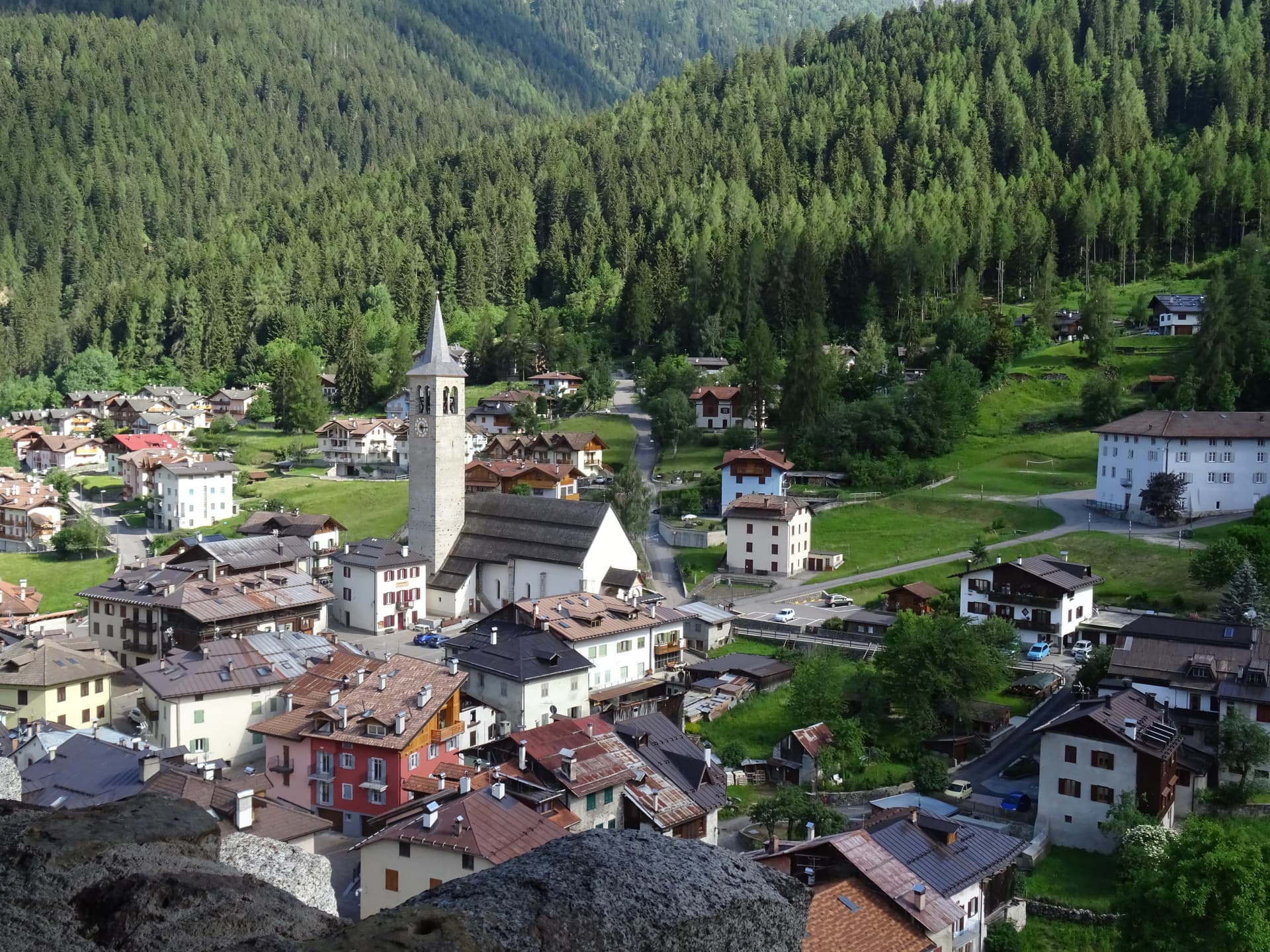
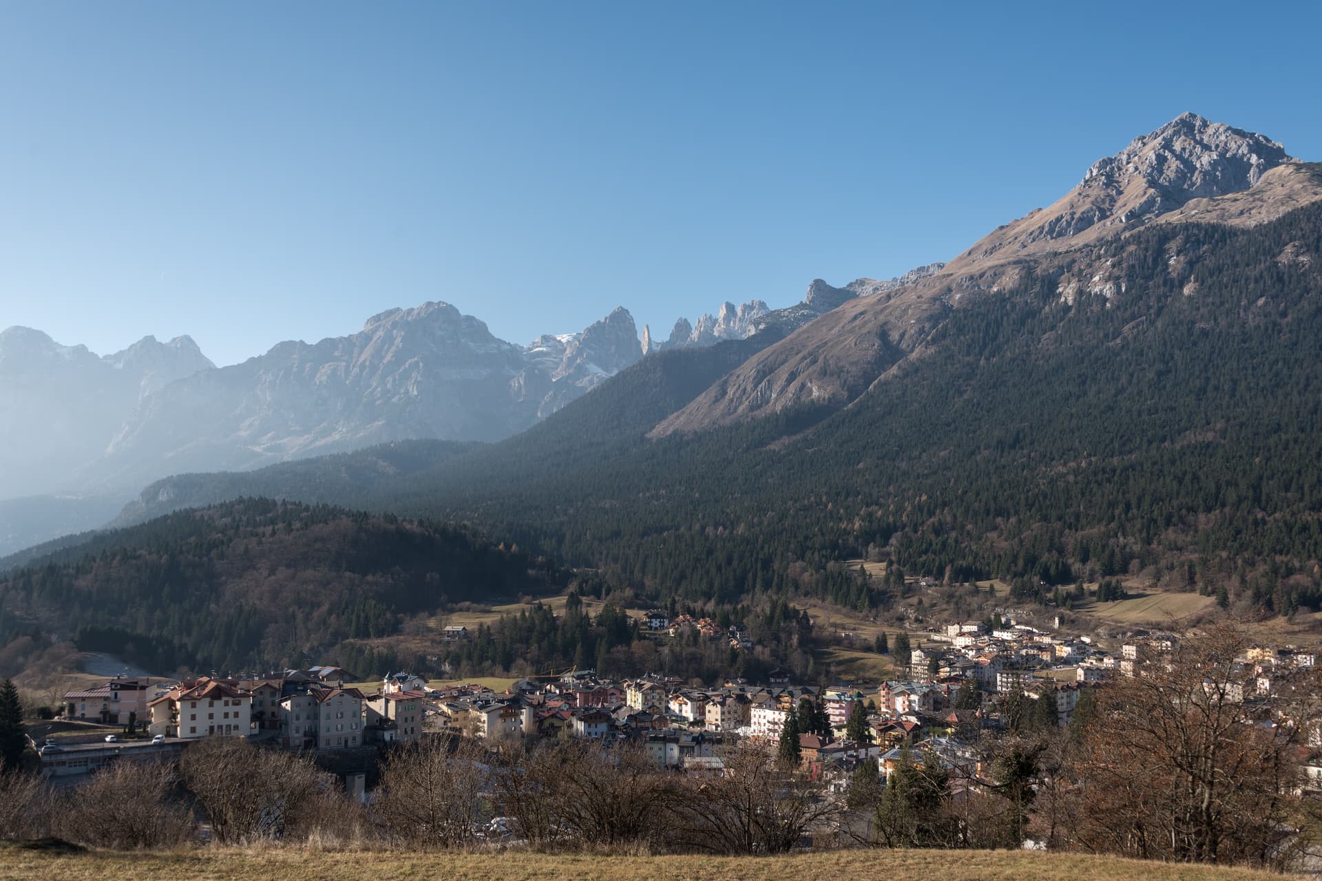
Caldes sits at around 700 metres in the lower Val di Sole, along the Noce river, thirty-five kilometres northwest of Trento and below the southern ridge of the Brenta Dolomites. The commune is a scattered municipality of six hamlets: Caldes itself, Samoclevo, San Giacomo, Cassana, Tozzaga, Bordiana and Bozzana, strung along the slope between 635 and 767 metres. Castel Caldes, built between 1230 and 1235 by Rambaldo and Arnoldo da Cagnò as a five-storey tower-house, controlled commercial traffic up the Val di Sole together with the higher Rocca di Samoclevo.
In 1464 the Thun family acquired the castle and rebuilt it in its current form, with sixteenth-century wall paintings of saints, friezes and coats of arms across the upper rooms. It now belongs to the autonomous province of Trento and operates as a venue of the Castello del Buonconsiglio museum network. Caldes joined I Borghi più belli d'Italia in recognition of its preserved rural cores and the castle that anchors them.
The Sunday letter
We haven’t written Caldes’s letter yet.
One town every Sunday, with the photo, the food, the festa. Be there when this one comes up. Free, by Peter & Sophia from Pietrasanta.
By subscribing you agree to Substack’s Terms of Use, our Privacy Policy and our Information collection notice.


What to see
Castel Caldes
Five-storey tower-house begun in 1230 and rebuilt by the Thun family from 1464, with sixteenth-century painted rooms and coats of arms, now a Buonconsiglio museum venue.
Borgo di Caldes
Stone-built historic centre below the castle, member of I Borghi più belli d'Italia for the preservation of its rural architecture and lanes.
Samoclevo
Upper hamlet at 767 metres above Caldes, paired in the medieval period with the Rocca di Samoclevo to control traffic on the Val di Sole road.
Chiesa di San Bartolomeo
Parish church of Caldes in the centre of the borgo, with a bell tower visible across the surrounding hamlets and slopes.
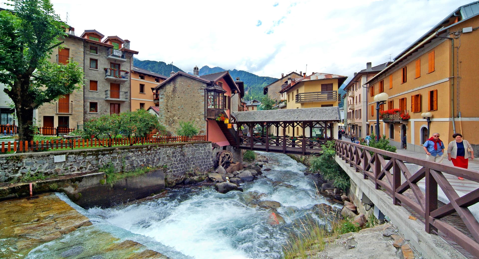
Fiume Noce
Glacial river running below the village from the Adamello-Presanella group, used for rafting and kayaking on the stretches between Caldes and Mostizzolo.
The slow-trip planner
Building a trip? Find where Caldes fits in a slow Italy circuit.
Answer five questions. We will shape a geographically coherent slow trip from the 1,000 Italian towns most travelers skip. Yours to save and share.
Living here
- Population 1,102
- Off the beaten pathi
- Pharmacy: none mapped
- High school within a 30-minute drive
- Train station in the comune
- Nearest airport Verona, 2 h 2 min drive
- Regional capital Bolzano, 1 h 8 min drive
Tags & datadesignations · numbers · sources
Recognised as
The numbers
- Elevation: 698 m
- Population: 1,102
- Surface area: 20.81 km²
These figures were compiled from public directories — ISTAT, OpenStreetMap, Wikidata — and from the official listings of the guides named on this page. Town details change; verify with official sources before you travel.
Close by
More towns near Caldes
Ossana
Province: Trento
A small Val di Sole borgo at the foot of a 25-metre stone keep, with Christmas nativity scenes filling its streets every December.
Ponte di Legno
Province: Brescia
The uppermost commune of Valle Camonica at 1,257 meters, where the two source streams of the Oglio meet under the Adamello range.
Andalo
Province: Trento
An alpine pass at 1,042 metres on the Paganella plateau, with the Brenta Dolomites on one side and a periodic lake that empties and refills.
Pinzolo
Province: Trento
The Val Rendena base town at 770 metres between the Adamello-Presanella and the Brenta Dolomites, with a fifteenth-century church wrapped in a Dance of Death fresco.
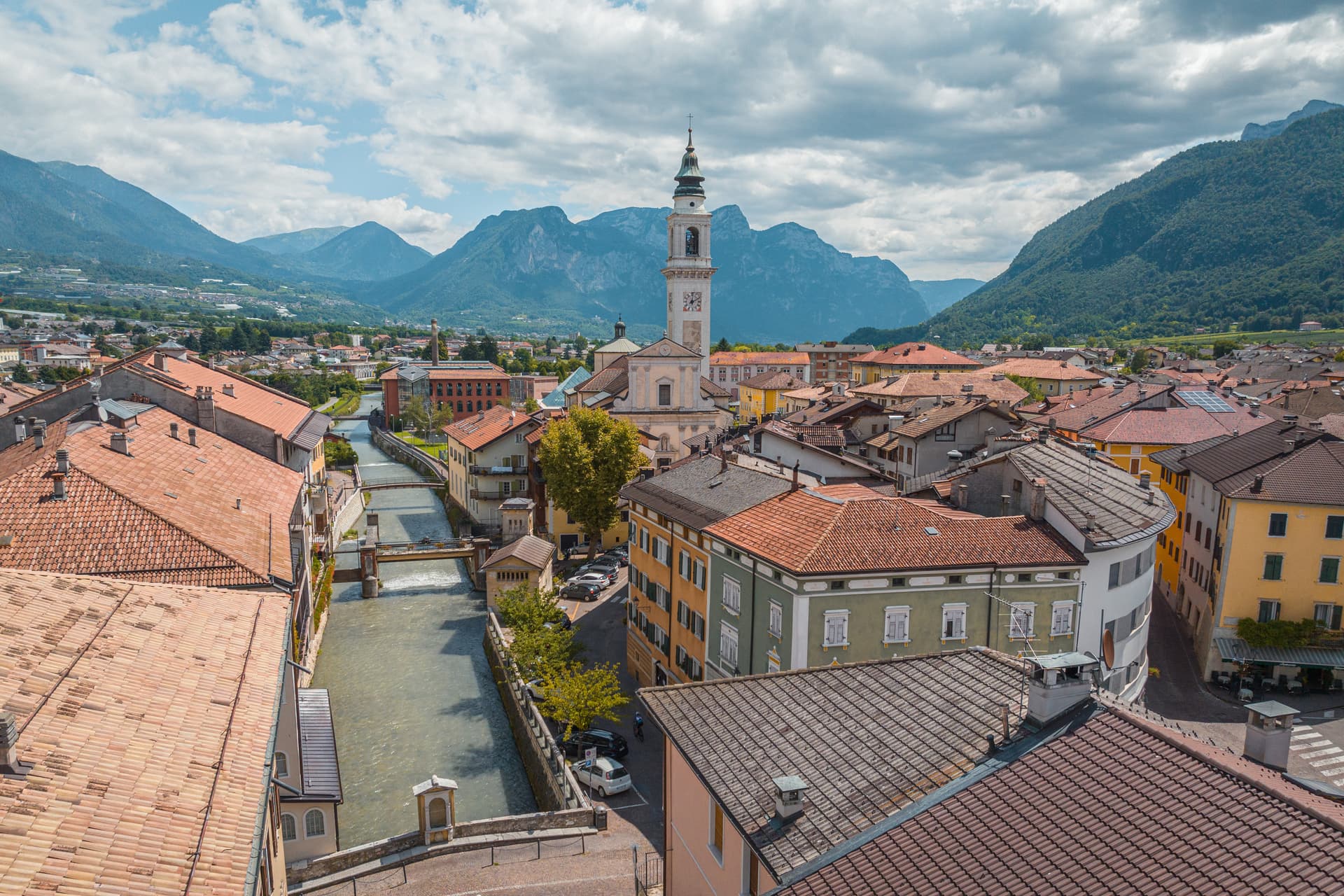
Trento
Province: Trento
The Alpine capital on the Adige at 194 metres, where the Council that reshaped the Catholic Church met in a castle still standing above the city.
🎨 Borghi più belli d'Italia
More Borghi più belli d'Italia towns in Trentino-Alto Adige/Südtirol
Bleggio Superiore
Province: Trento
A scattered Giudicarie commune whose hilltop hamlet of Rango holds the Christmas markets, with a Slow Food walnut grown on the terraces below.
Bondone
Province: Trento
A two-village commune above Lake Idro at the Lombard border, with a Lodron castle on the cliff and a Bandiera Blu shoreline below.
Borgo Valsugana
Province: Trento
The valley town built on both banks of the Brenta in lower Valsugana, with Castel Telvana above and Arte Sella in the side valley.
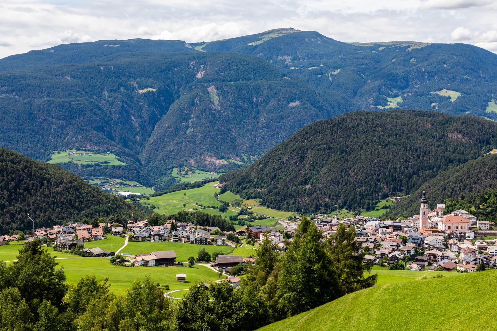
Kastelruth
Province: Bolzano
South Tyrolean gateway to the Alpe di Siusi at 1,060 metres, eighty-two-metre bell tower over the square, home of the Kastelruther Spatzen.
Glurns
Province: Bolzano
The smallest city in South Tyrol at 937 inhabitants, ringed by intact sixteenth-century walls in the Val Venosta near the Swiss border.