

Trentino-South Tyrol · Bolzano
Sterzing
A bilingual mining town at 948 metres on the Brenner road, where a 46-metre tower built in 1472 still divides the old town from the new.
Known for
ZWÖLFERTURM
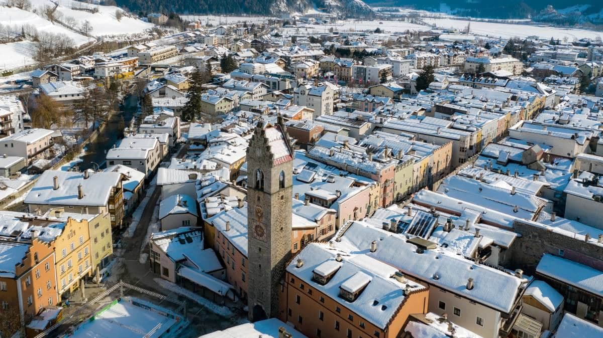
Forty-six metre tower built in 1472 at the centre of the town, dividing the Altstadt from the Neustadt as the symbol of Vipiteno.
FUGGERSTADT
Town of the Fuggers, who owned the Schneeberg silver and lead mines in the Ridnaun valley and made Vipiteno a Habsburg financial hub in the late fifteenth century.
PAINTED FACADES
Altstadt and Neustadt streets lined with painted facades, oriel windows and stepped gables built during the silver boom of the 1400s and 1500s.
When to visit
Best · May–Oct
- J
- F
- M
- A
- M
- J
- J
- A
- S
- O
- N
- D
- Best
- Hot or crowded
- Quiet
- Mostly closed
Why come
Vipiteno sits at 948 metres in the upper Wipptal, twelve kilometres south of the Brenner Pass and the Austrian border, with the Eisack river running through the medieval town and the Stubai Alps rising on three sides. The German-speaking population calls it Sterzing and outnumbers the Italian speakers by roughly three to one. The town grew rich in the late fifteenth century from silver and lead mined in the Schneeberg deposits of the Ridnaun and Pflersch valleys to the west, and from its position on the Brenner trade route.
The mines belonged to the Fuggers of Augsburg, the banking family who financed Habsburg emperors; Vipiteno is still sometimes called Fuggerstadt. The Zwölferturm, a forty-six metre tower built in 1472, stands at the centre of Piazza Città and divides the Altstadt from the Neustadt, the two halves of the medieval town. Both halves are lined with painted facades, oriel windows and stepped gables built when the silver flowed.
The Sunday letter
We haven’t written Sterzing’s letter yet.
One town every Sunday, with the photo, the food, the festa. Be there when this one comes up. Free, by Peter & Sophia from Pietrasanta.
By subscribing you agree to Substack’s Terms of Use, our Privacy Policy and our Information collection notice.
What to see
Zwölferturm
Forty-six metre tower built in 1472 at the centre of Piazza Città, dividing the Altstadt from the Neustadt and serving as the town's symbol.
Altstadt and Neustadt
Two halves of the medieval town on either side of the Zwölferturm, lined with painted facades, oriel windows and stepped gables from the silver-mining century.
Schneeberg mining museum
Provincial mining museum in the Ridnaun valley west of Vipiteno, on the site of the Fugger-era silver and lead workings that funded the town's wealth.
Chiesa parrocchiale di Nostra Signora della Palude
Late Gothic parish church on the north edge of the town, one of the largest Gothic religious buildings in Tyrol, with a 1497 high-altar tabernacle.
Castel Tasso/Reifenstein
Thirteenth-century castle on a rocky spur south of the town, one of the best-preserved fortified residences in South Tyrol, with original medieval interiors.
The slow-trip planner
Building a trip? Find where Sterzing fits in a slow Italy circuit.
Answer five questions. We will shape a geographically coherent slow trip from the 1,000 Italian towns most travelers skip. Yours to save and share.
Living here
- Population 6,915
- Off the beaten pathi
- Pharmacy in town
- High school within a 30-minute drive
- Train station in the comune
- Nearest airport Verona, 2 h 47 min drive
- Regional capital Bolzano, 1 h 8 min drive
Tags & datadesignations · numbers · sources
Recognised as
The numbers
- Elevation: 948 m
- Population: 6,915
- Surface area: 32.97 km²
These figures were compiled from public directories — ISTAT, OpenStreetMap, Wikidata — and from the official listings of the guides named on this page. Town details change; verify with official sources before you travel.
Close by
More towns near Sterzing
Bressanone
Province: Bolzano
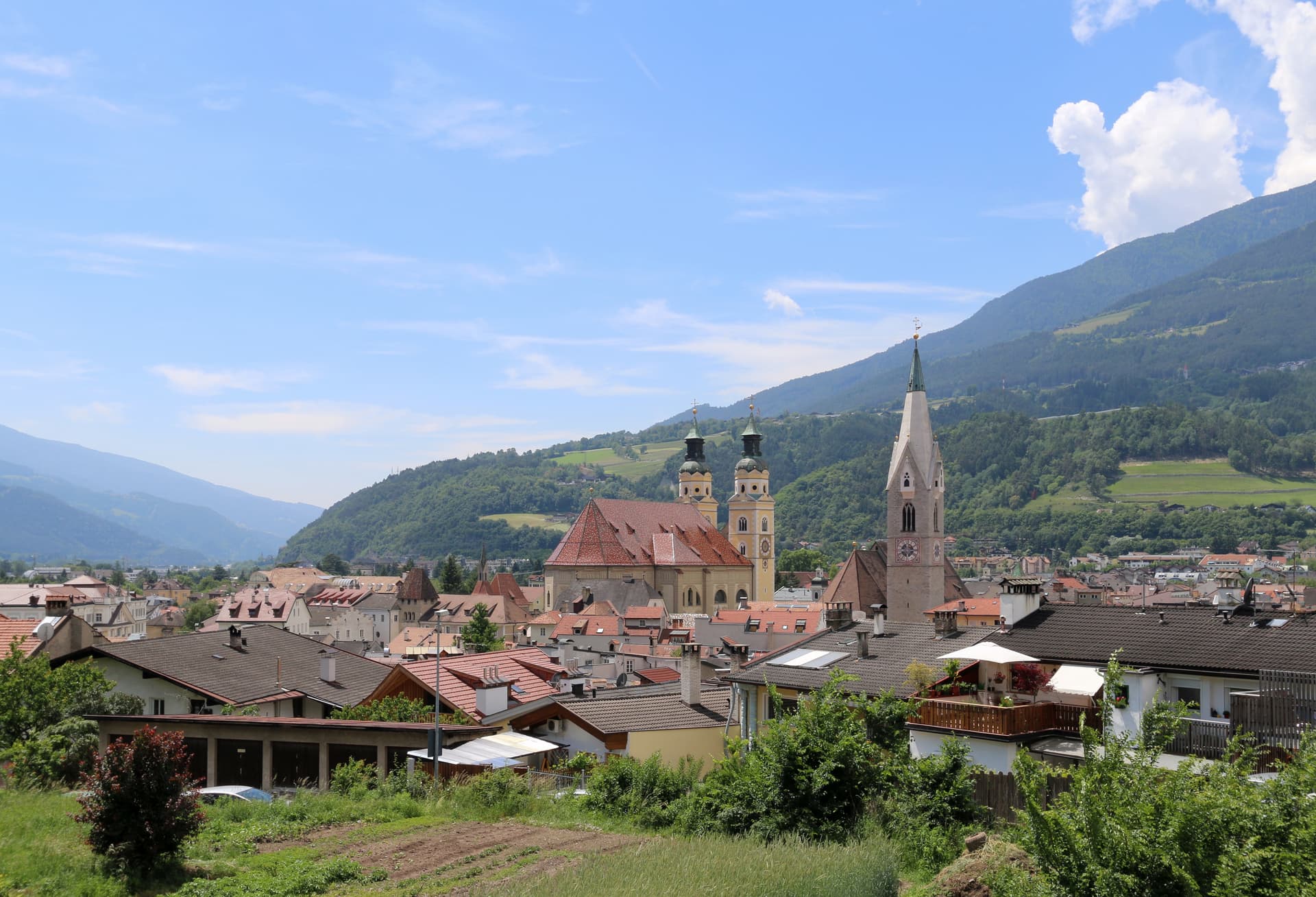
The oldest town in Tyrol, a prince-bishopric for eight centuries at the confluence of the Eisack and Rienz, below the Plose ridge.
Brunico
Province: Bolzano
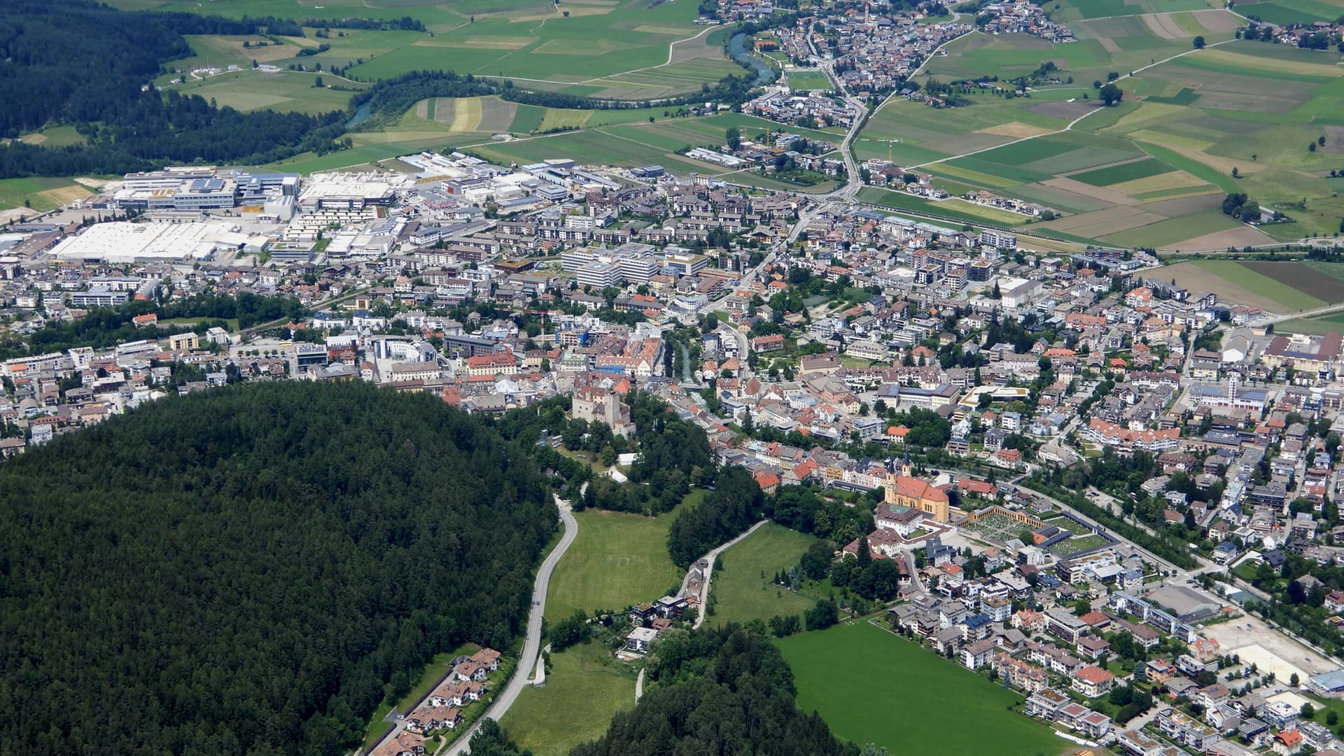
The largest town of the Pustertal at 838 metres, built around the prince-bishop's castle and the Stadtgasse, with Plan de Corones rising above the valley.
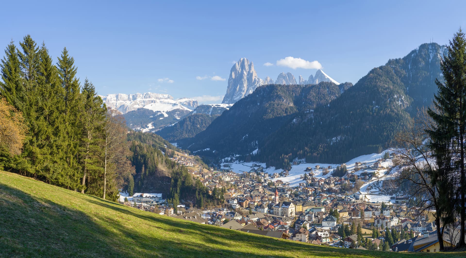
St. Ulrich
Province: Bolzano
The Ladin capital of Val Gardena, a wood-carving town at 1,236 metres between Seceda and the Alpe di Siusi.
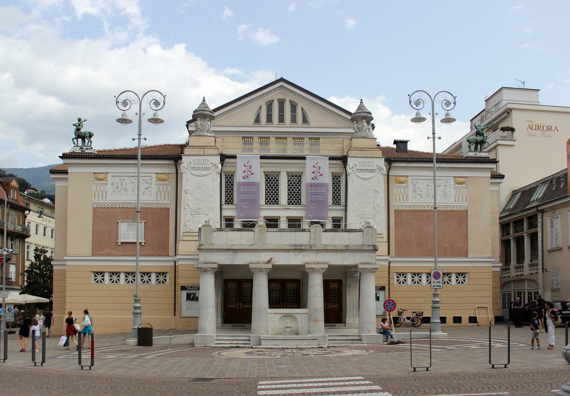
Meran
Province: Bolzano
A Habsburg spa city at 324 metres on the Passer river, palm-lined promenades below 3,000-metre peaks and the gardens where Empress Sissi spent her winters.
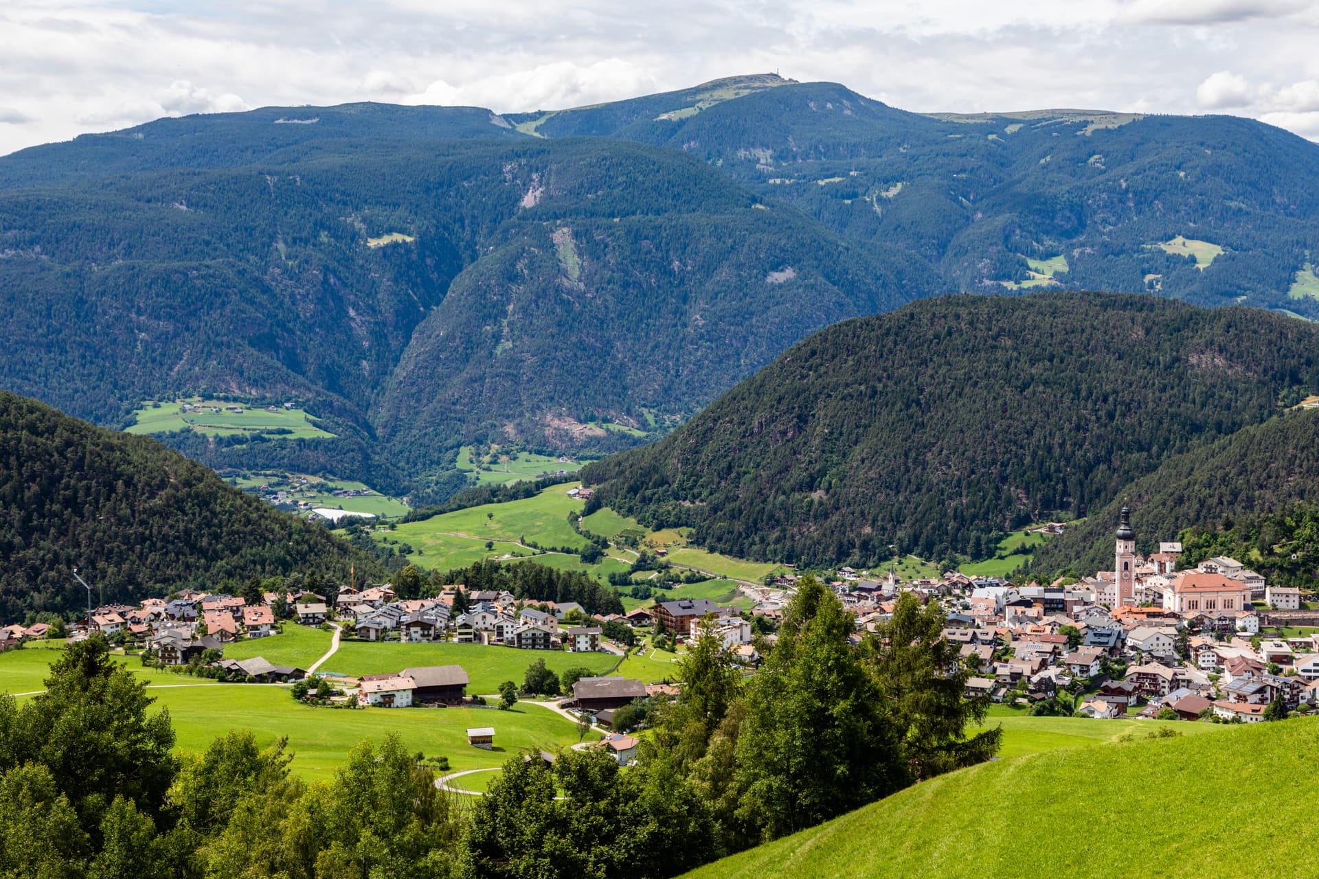
Kastelruth
Province: Bolzano
South Tyrolean gateway to the Alpe di Siusi at 1,060 metres, eighty-two-metre bell tower over the square, home of the Kastelruther Spatzen.
🎨 Borghi più belli d'Italia
More Borghi più belli d'Italia towns in Trentino-Alto Adige/Südtirol
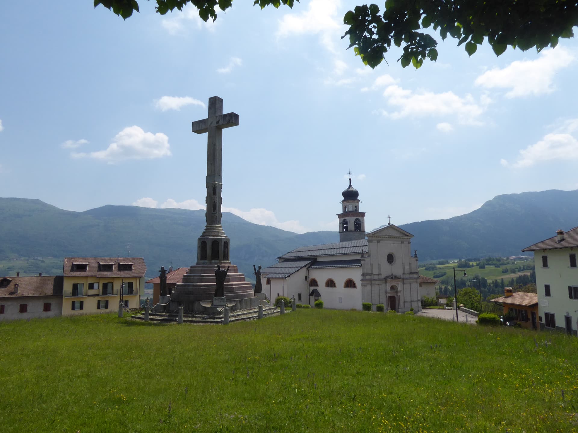
Bleggio Superiore
Province: Trento
A scattered Giudicarie commune whose hilltop hamlet of Rango holds the Christmas markets, with a Slow Food walnut grown on the terraces below.
Bondone
Province: Trento
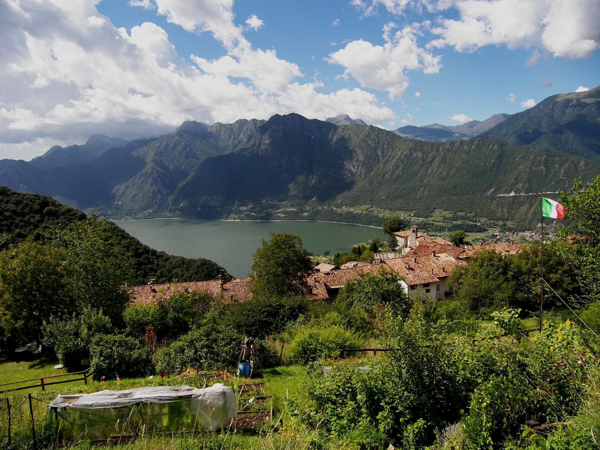
A two-village commune above Lake Idro at the Lombard border, with a Lodron castle on the cliff and a Bandiera Blu shoreline below.
Borgo Valsugana
Province: Trento
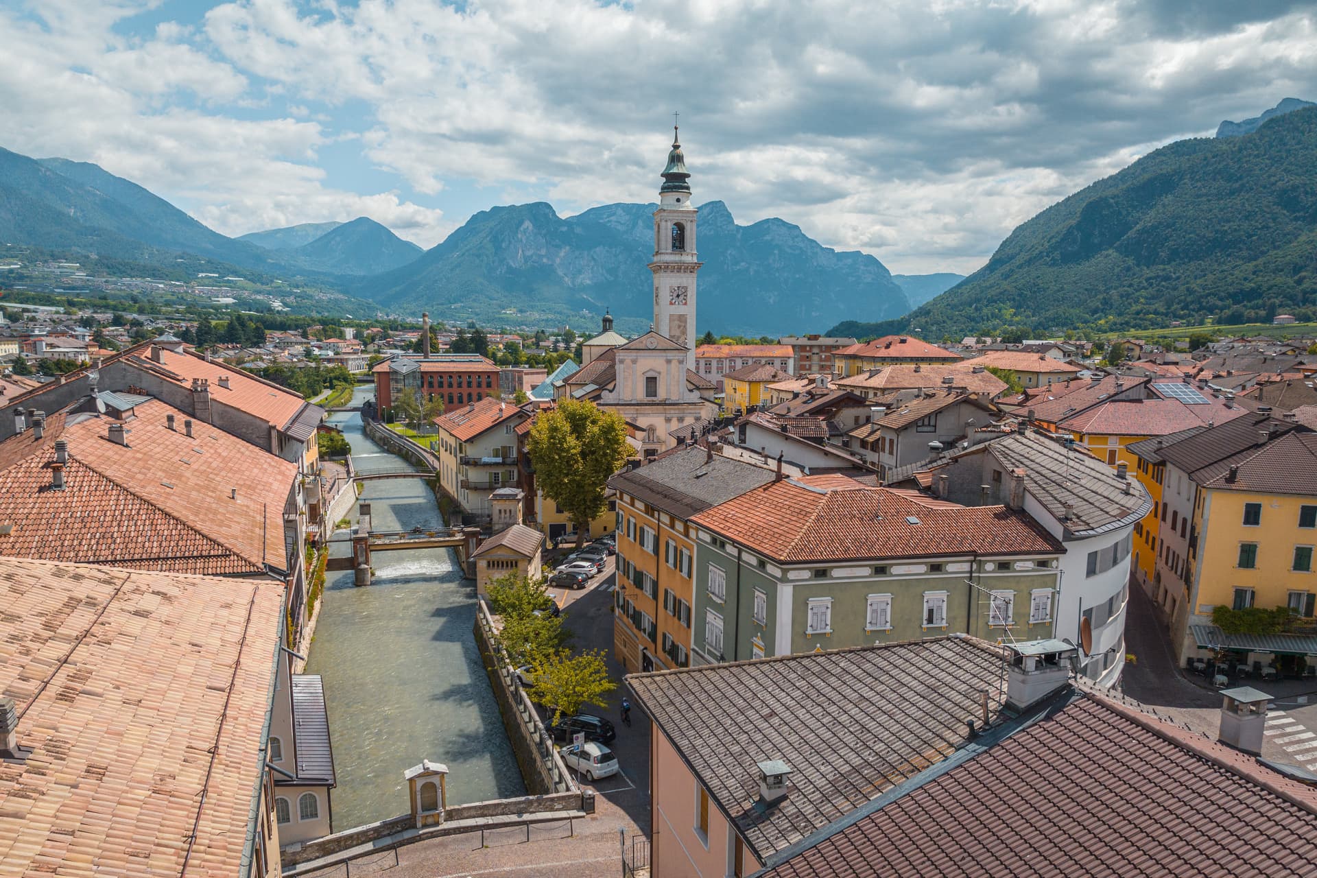
The valley town built on both banks of the Brenta in lower Valsugana, with Castel Telvana above and Arte Sella in the side valley.
Caldes
Province: Trento
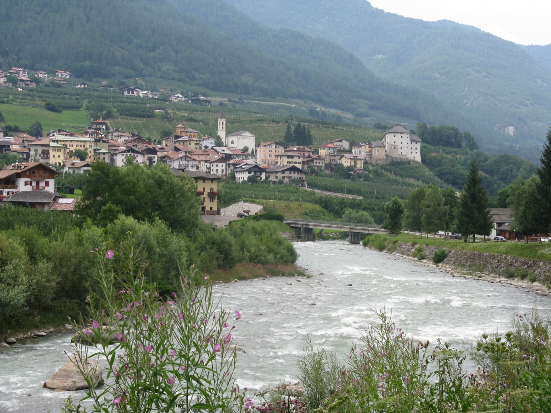
A scattered Val di Sole commune on the Noce, six hamlets gathered around a thirteenth-century tower-house castle that once belonged to the Thun family.
Glurns
Province: Bolzano
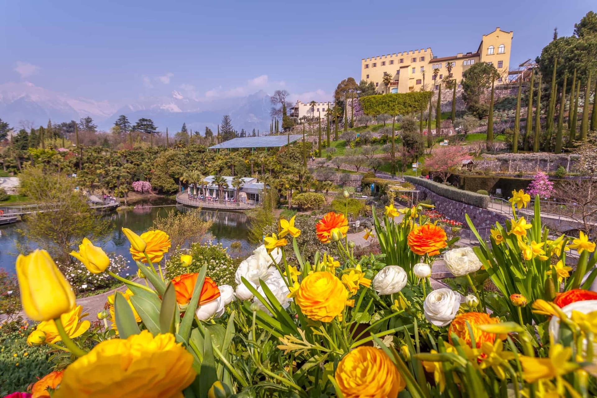
The smallest city in South Tyrol at 937 inhabitants, ringed by intact sixteenth-century walls in the Val Venosta near the Swiss border.