

Trentino-South Tyrol · Trento
Canazei
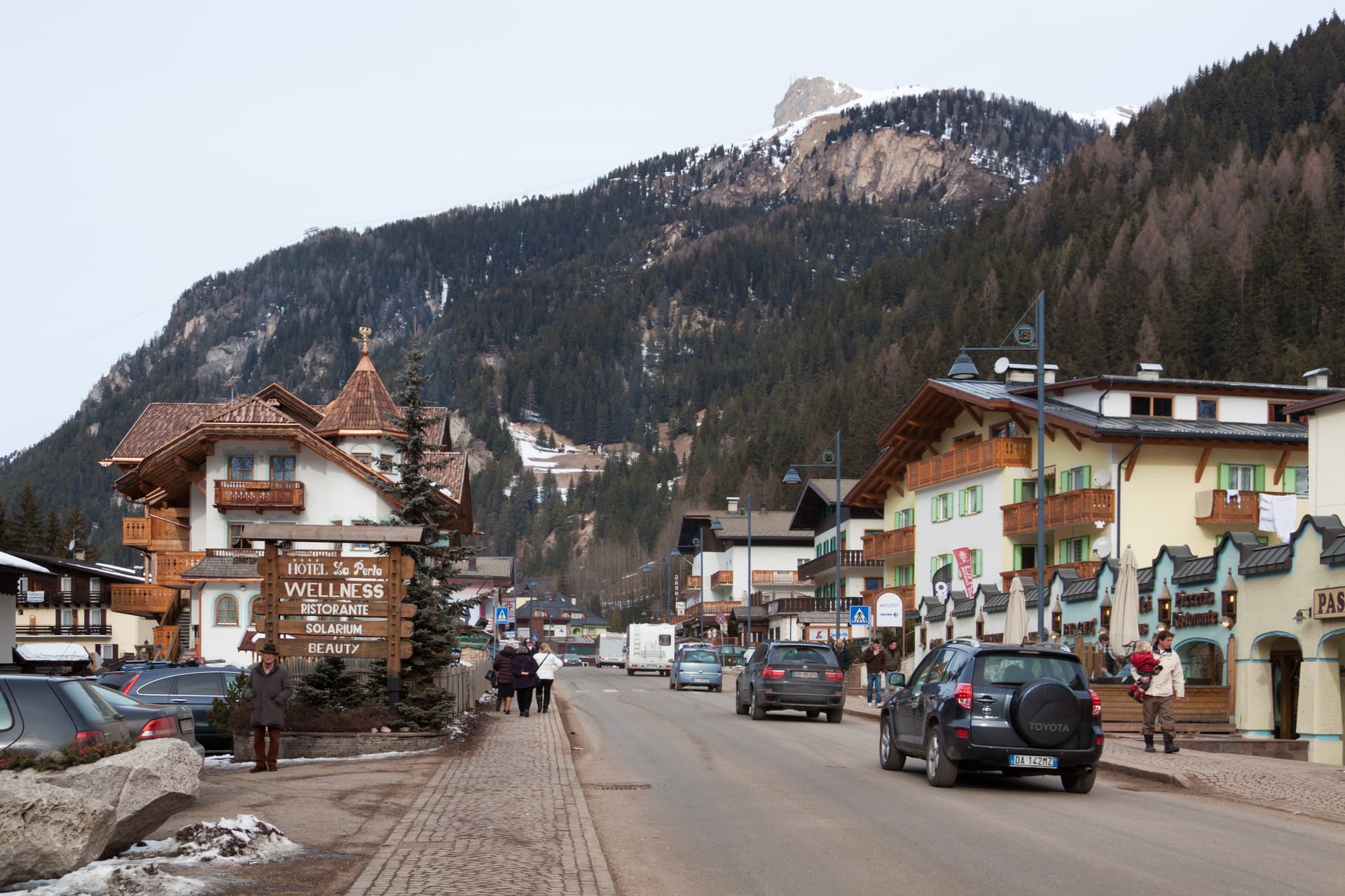
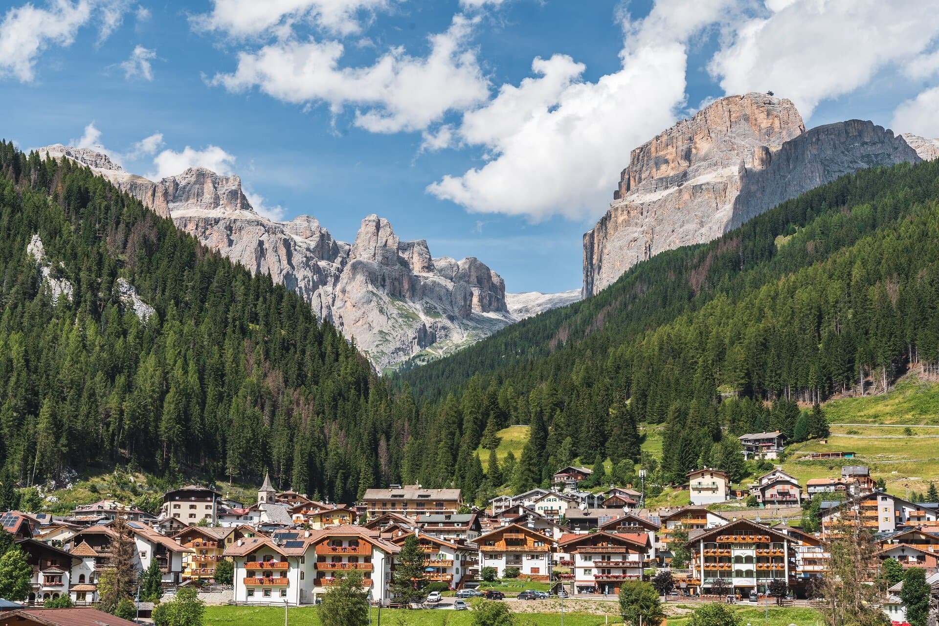
A Ladin village at 1,465 metres at the head of Val di Fassa, ringed by Marmolada, Sella and Sassolungo and the Sellaronda circuit.
Known for
MARMOLADA
The Queen of the Dolomites at 3,343 metres, reached by cable car above Canazei, with the only major glacier in the range and a heavy First World War history.
SELLARONDA
Lift-linked ski circuit around the Sella Group, with Canazei as one of the four Ladin valley bases for the loop across Gardena, Badia and Livinallongo.
LADIN
Around eighty per cent of residents speak Ladin as their mother tongue, part of the Dolomitic minority protected by the regional statute of autonomy.
When to visit
Best · Jun–Sep, Dec–Mar
- J
- F
- M
- A
- M
- J
- J
- A
- S
- O
- N
- D
- Best
- Hot or crowded
- Quiet
- Mostly closed
Why come
Canazei sits at 1,465 metres at the head of the Val di Fassa, one of the thirty highest towns in Italy, ringed by the Marmolada, the Sella Group and the Sassolungo. The commune includes the hamlets of Alba, Gries and Penia, which run together with the central village along the upper Avisio river. Eight in ten residents speak Ladin as their first language, part of the small Dolomitic minority recognised by the autonomous statute, and the local Folk Group preserves the costumes, music and language traditions of the valley.
Four ski areas connect from the village base: Belvedere, Ciampac, Col Rodella and the Marmolada cable car from Malga Ciapèla, all part of the Sellaronda and the wider Dolomiti Superski circuit. The Pordoi cable car climbs to the Terrazza delle Dolomiti at 2,950 metres for a full view of the surrounding peaks, including the Marmolada at 3,343 metres, the highest summit in the Dolomites and a UNESCO World Heritage site since 2009.
The Sunday letter
We haven’t written Canazei’s letter yet.
One town every Sunday, with the photo, the food, the festa. Be there when this one comes up. Free, by Peter & Sophia from Pietrasanta.
By subscribing you agree to Substack’s Terms of Use, our Privacy Policy and our Information collection notice.
What to see
Marmolada
Highest summit in the Dolomites at 3,343 metres, reached by cable car from Malga Ciapèla above Canazei, with the only Dolomitic glacier on its northern face.
Passo Pordoi
Dolomite road pass at 2,239 metres with a cable car to Sass Pordoi at 2,950 metres, called the Terrazza delle Dolomiti for its 360-degree view.
Belvedere Ski Area
Main winter base of Canazei, gondola-linked to the Sellaronda circuit and the lift system across the four Ladin valleys of the Sella group.
Sassolungo
Distinctive long-toothed massif north of the village, reached from the Sella Pass and visible from most of the lifts above Canazei.
Penia
Easternmost hamlet of the commune along the Avisio, the last village before the road climbs to the Fedaia Pass and the Marmolada cable car.
Sentiero dei Forti
Walking route through the First World War positions on the Marmolada front, with restored trenches and tunnels reached from above Penia.
The slow-trip planner
Building a trip? Find where Canazei fits in a slow Italy circuit.
Answer five questions. We will shape a geographically coherent slow trip from the 1,000 Italian towns most travelers skip. Yours to save and share.
We recommend
Where to eat and stay
Not our picks, but places the guides put their name to — a Michelin star, a Gambero Rosso fork, a Slow Food snail, a Michelin Key for the hotels. Worth a table, a counter, or a night when you pass through.
Alla LocandaRistorante
A spot in the Michelin Guide, at Alla Locanda.
El PaelWine Bar
El Pael holds two Gambero Rosso bottles.
Locanda degli Artisti Art HotelRistorante
Two Gambero Rosso forks (80/100), at Locanda degli Artisti Art Hotel.
Wine & DineRistorante
Wine & Dine holds a spot in the Michelin Guide.
Living here
- Population 1,831
- Off the beaten pathi
- Pharmacy in town
- Nearest airport Venice, 2 h 37 min drive
- Regional capital Bolzano, 1 h 26 min drive
Tags & datadesignations · numbers · sources
Recognised as
The numbers
- Elevation: 1465 m
- Population: 1,831
- Surface area: 67.02 km²
These figures were compiled from public directories — ISTAT, OpenStreetMap, Wikidata — and from the official listings of the guides named on this page. Town details change; verify with official sources before you travel.
Close by
More towns near Canazei
Rocca Pietore
Province: Belluno
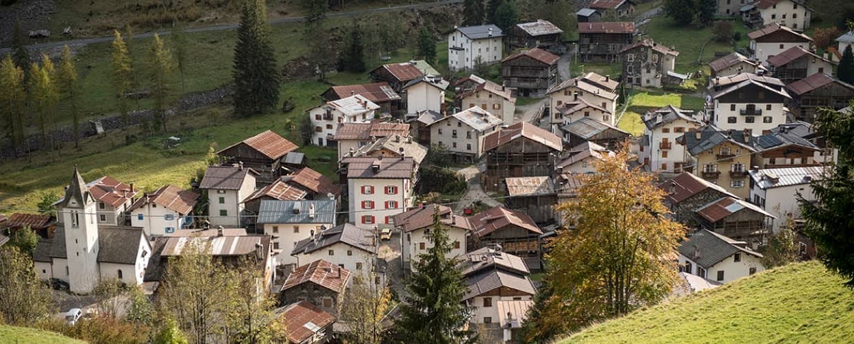
An Agordino borgo at 1,143 meters under the Marmolada, where the Pettorina cuts a two-kilometer gorge through 100-meter rock walls.
Alleghe
Province: Belluno
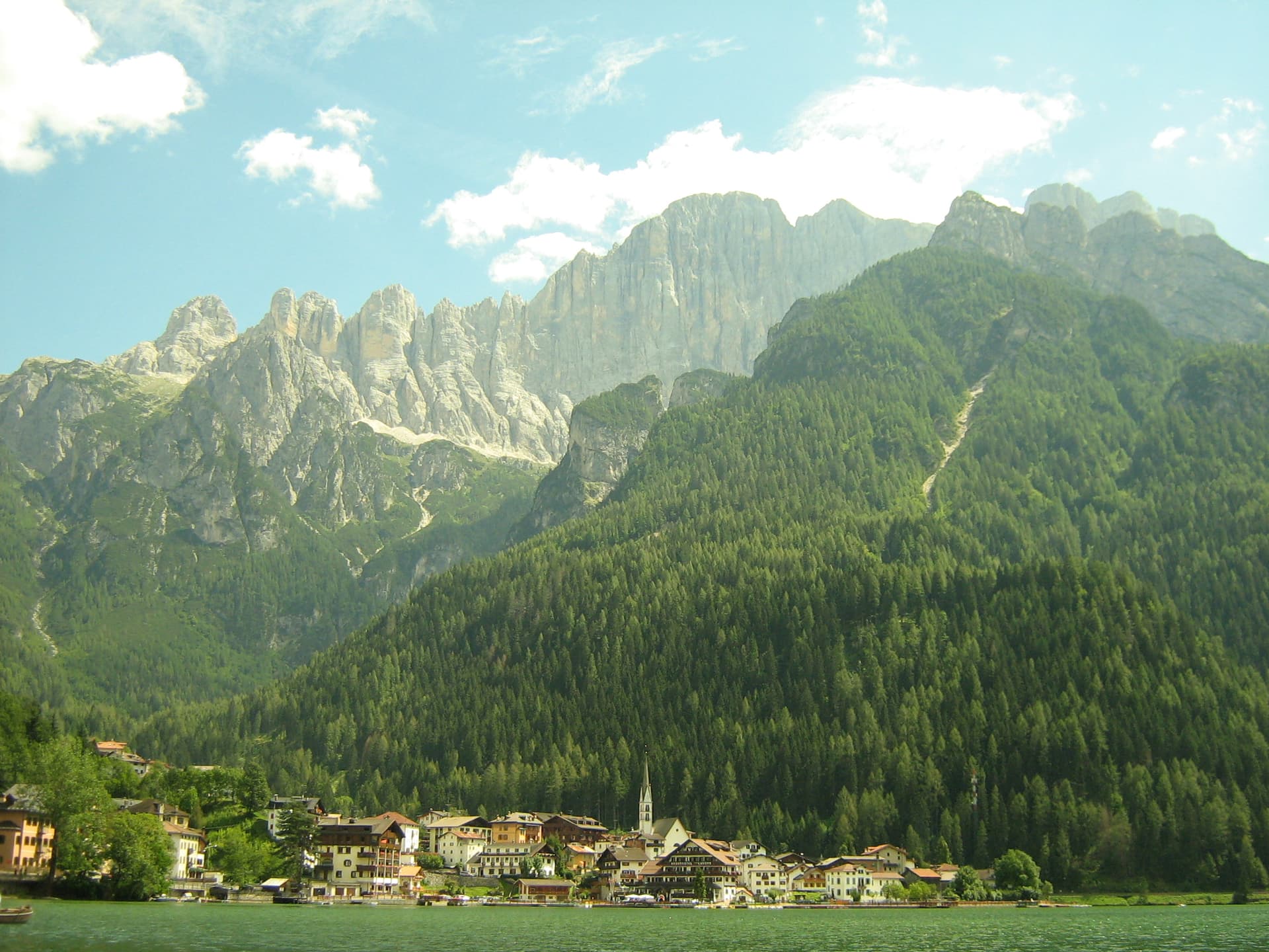
A lakeside village at 979 meters under Monte Civetta, formed in 1771 when ten million cubic meters of rock crashed into the Cordevole.
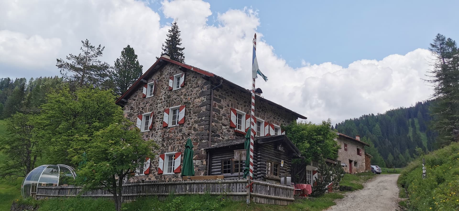
Moena
Province: Trento
The largest village in Val di Fassa, Ladin-speaking, dressed in Ottoman costume for three days every August.
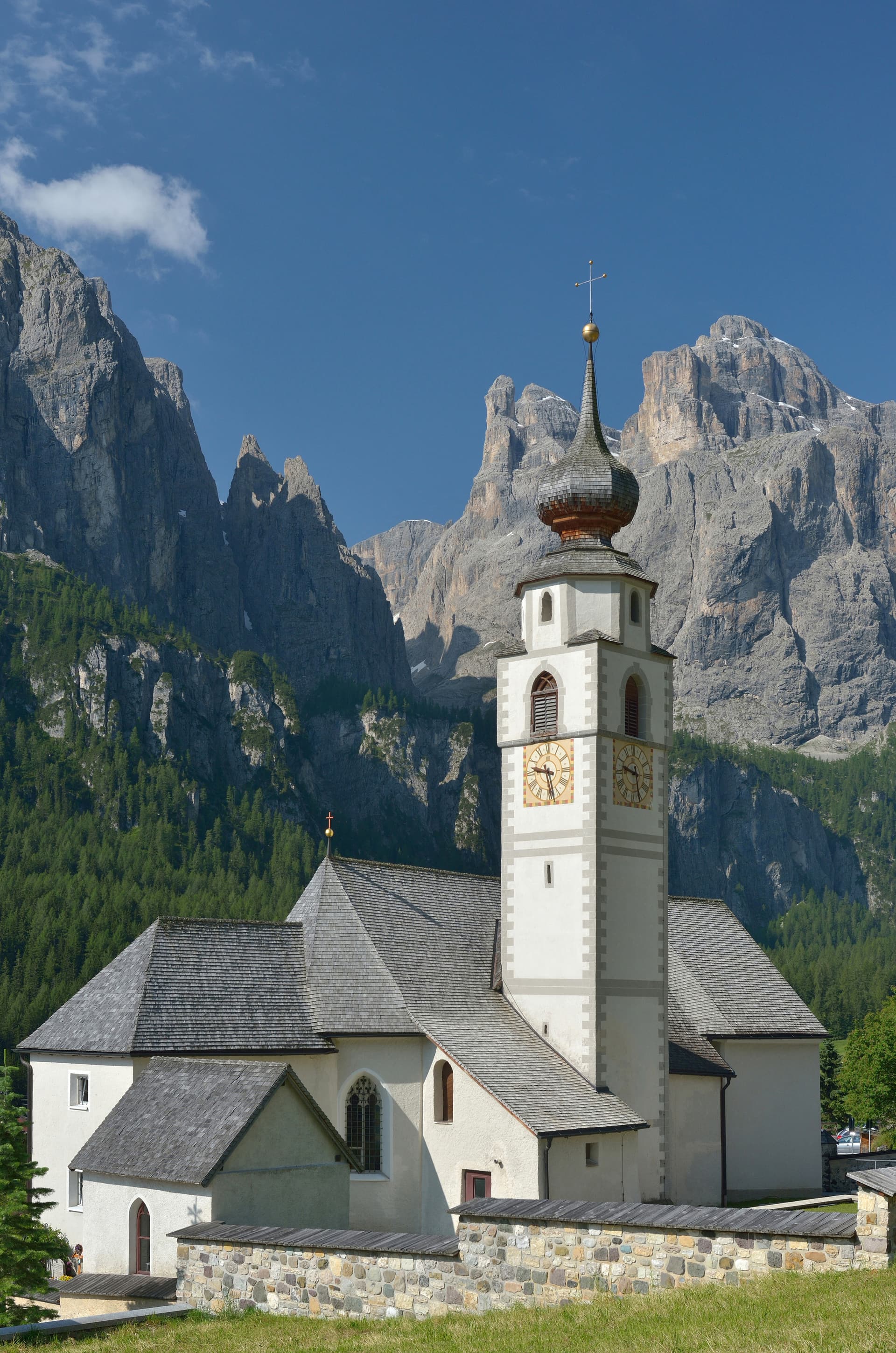
Corvara in Badia
Province: Bolzano
The Ladin centre of Alta Badia at 1,568 metres, at the foot of the Sassongher, on the four-pass Sellaronda ski circuit.
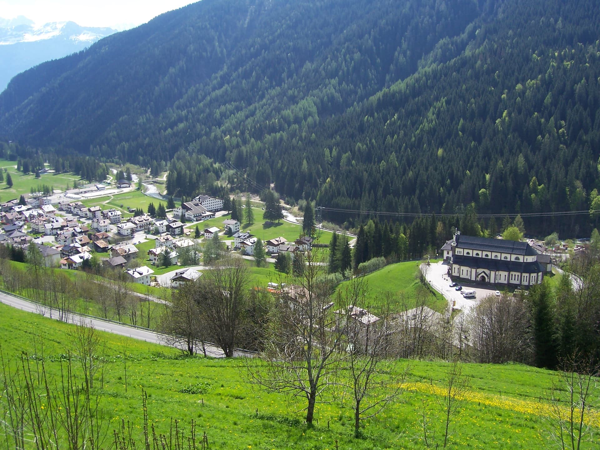
Falcade
Province: Belluno
An Agordino ski village at 1,148 meters under the Focobon spires, with the San Pellegrino pass to the Val di Fiemme.
⛷️ Ski Area
More Ski Area towns in Trentino-Alto Adige/Südtirol
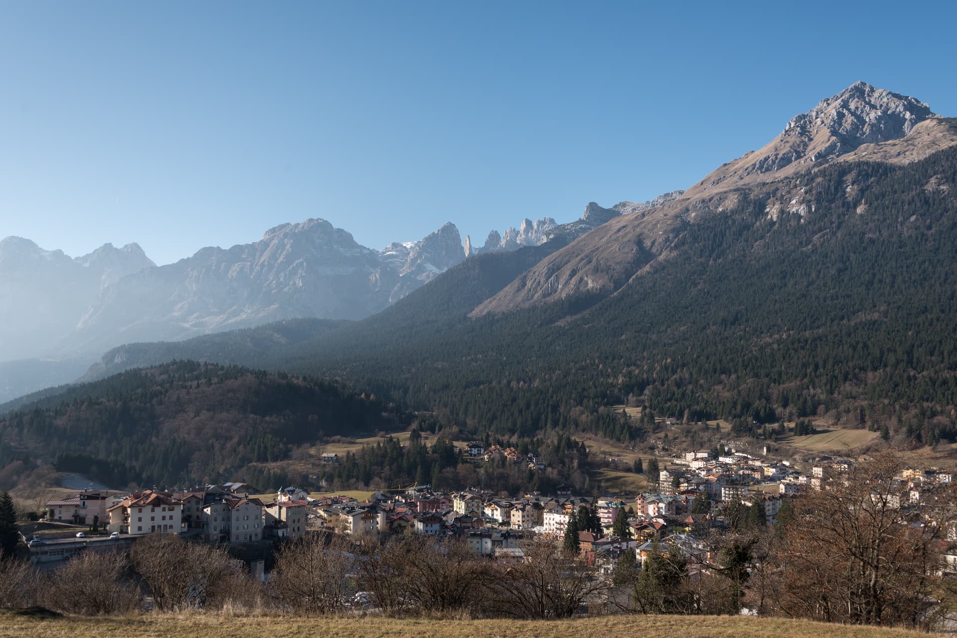
Andalo
Province: Trento
An alpine pass at 1,042 metres on the Paganella plateau, with the Brenta Dolomites on one side and a periodic lake that empties and refills.
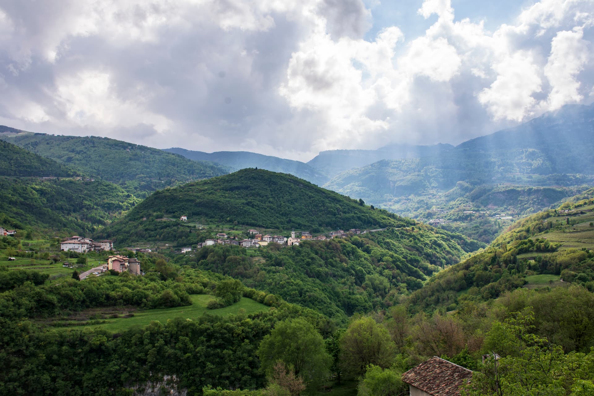
Brentonico
Province: Trento
The Monte Baldo plateau town between Lake Garda and the Vallagarina, with chestnut groves, war trenches and a botanical garden of the Garden of Italy.
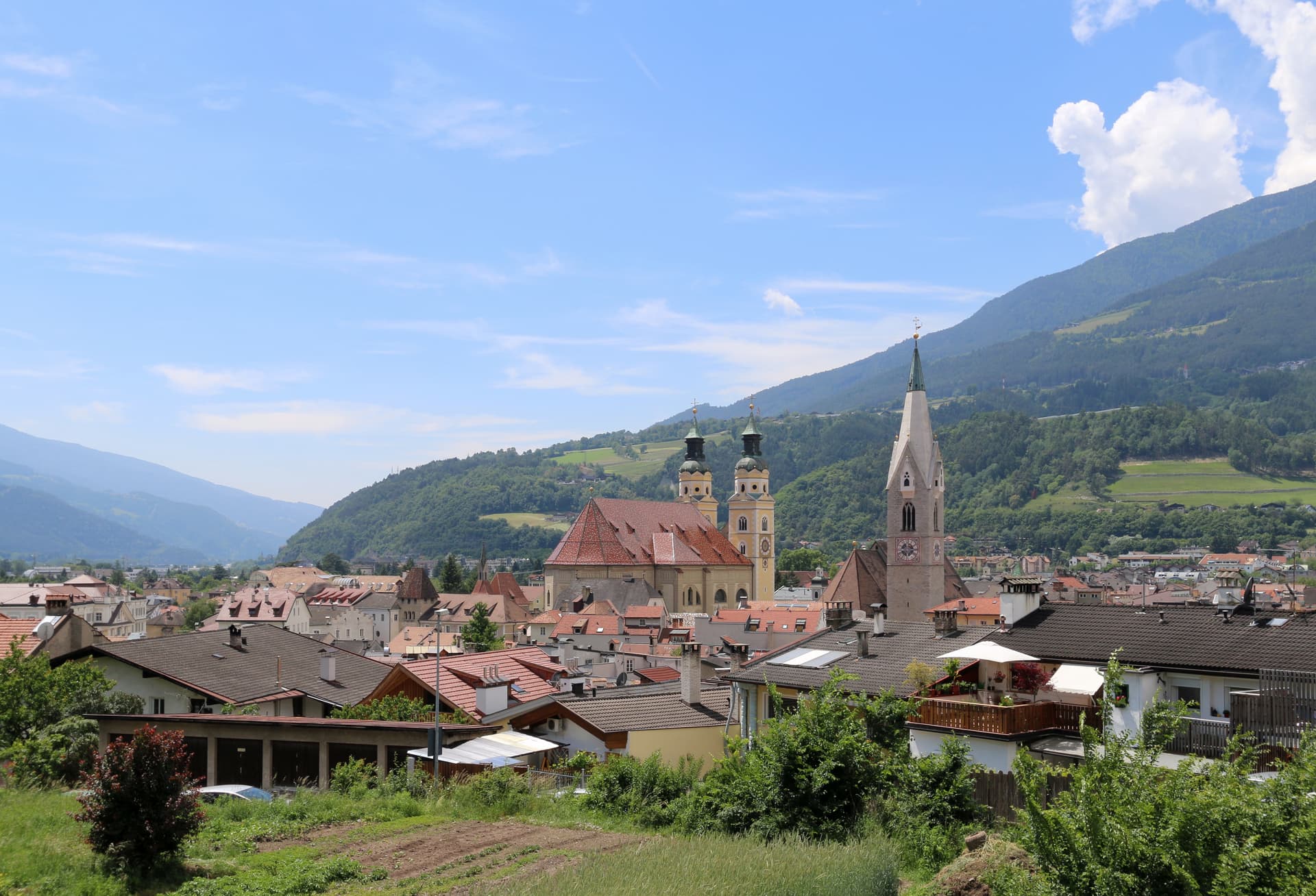
Bressanone
Province: Bolzano
The oldest town in Tyrol, a prince-bishopric for eight centuries at the confluence of the Eisack and Rienz, below the Plose ridge.
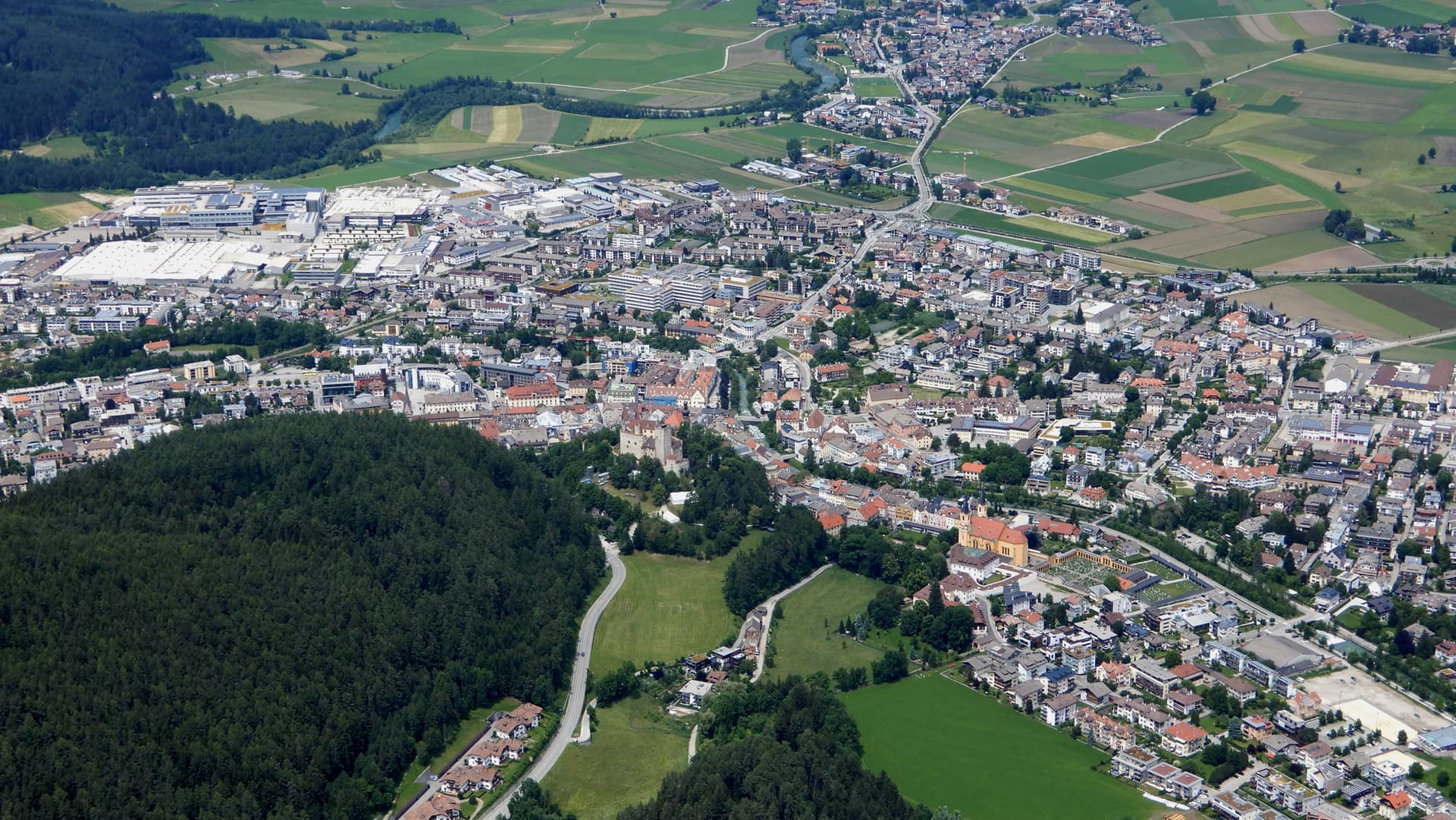
Brunico
Province: Bolzano
The largest town of the Pustertal at 838 metres, built around the prince-bishop's castle and the Stadtgasse, with Plan de Corones rising above the valley.
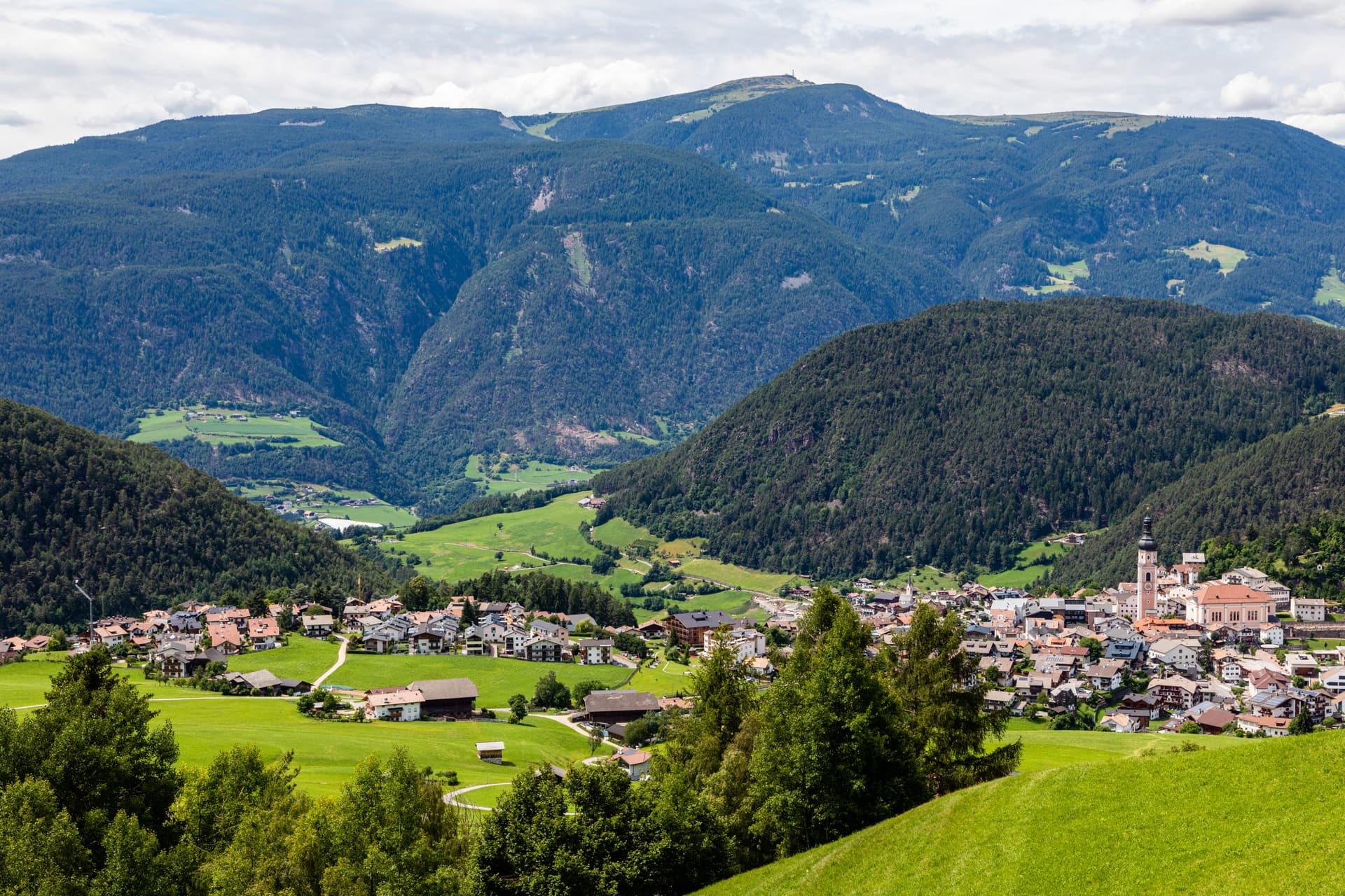
Kastelruth
Province: Bolzano
South Tyrolean gateway to the Alpe di Siusi at 1,060 metres, eighty-two-metre bell tower over the square, home of the Kastelruther Spatzen.