
Veneto · Venezia
Chioggia
Italy's second fishing port, on an island at the south end of the Venetian Lagoon, called Little Venice for the Canale Vena.
Known for
FISHING PORT
Italy's second fishing port after Mazara del Vallo, with the wholesale market on Canale Vena operating before dawn six days a week.
WAR OF CHIOGGIA
The 1378-81 naval war ended here with Venice's victory over Genoa and reduced Chioggia to a fishing and salt port for four centuries.
SOTTOMARINA
Eight kilometers of fine sand on the lagoon's outer barrier, Bandiera Blu beach since 2005 and the summer outlet for the inland Veneto.
When to visit
Best · May–Sep
- J
- F
- M
- A
- M
- J
- J
- A
- S
- O
- N
- D
- Best
- Hot or crowded
- Quiet
- Mostly closed
The festa: Felice e Fortunato, 11 June
Why come
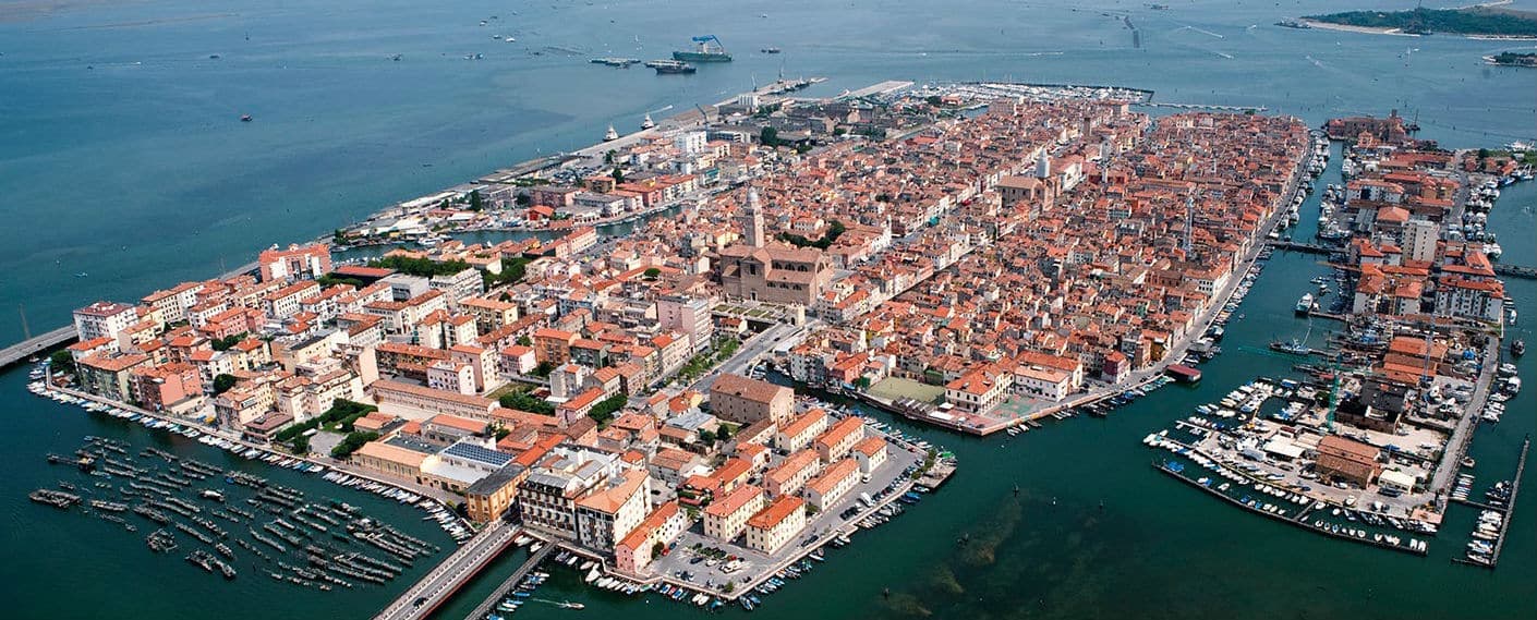
Chioggia sits on a small island at the southern entrance to the Venetian Lagoon, twenty-five kilometers south of Venice and connected to the mainland and to its frazione Sottomarina by causeways. The Romans knew it as Clodia. By the eleventh and twelfth centuries it had grown into a salt-producing port, became a free commune in 1110, and gave its name to the Naval War of Chioggia in 1378-81, the conflict that ended Genoese rivalry with Venice and left Chioggia under the Serenissima for the next four centuries.
The defeat reduced the town to fishing, salt and limited Adriatic trade. The fleet never left. Today the Port of Chioggia is the second fishing port in Italy after Mazara del Vallo, and the wholesale fish market off Canale Vena still opens before dawn.
The street plan is a herringbone of calli running off Corso del Popolo, with three canals and the bridges that gave the town its Little Venice nickname. The cathedral of Santa Maria Assunta was rebuilt by Baldassare Longhena from 1623.
The Sunday letter
We haven’t written Chioggia’s letter yet.
One town every Sunday, with the photo, the food, the festa. Be there when this one comes up. Free, by Peter & Sophia from Pietrasanta.
By subscribing you agree to Substack’s Terms of Use, our Privacy Policy and our Information collection notice.

What to see
Cattedrale di Santa Maria Assunta
Cathedral founded in the eleventh century, raised to episcopal seat in 1110, rebuilt from 1623 to designs by Baldassare Longhena.
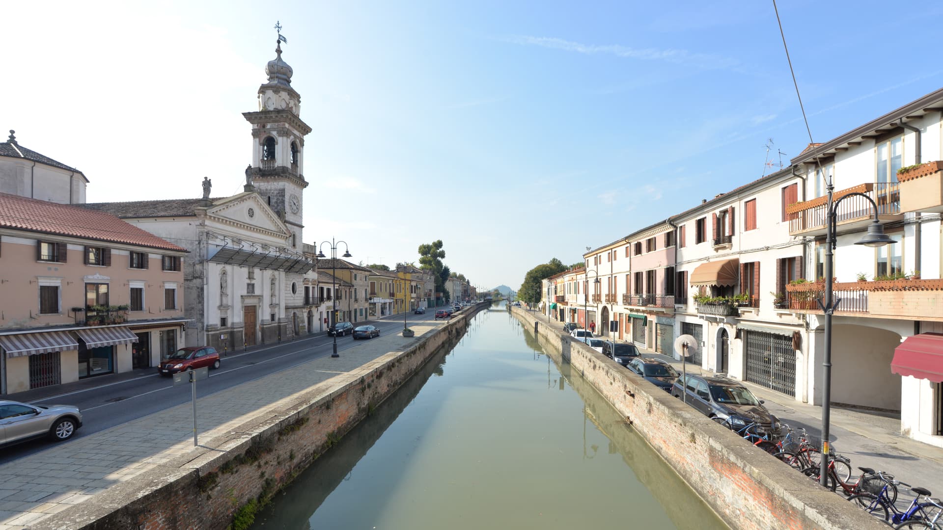
Canale Vena
Main canal of the centro storico, lined with fishing boats and crossed by nine bridges including the seventeenth-century Ponte Vigo.
Mercato del Pesce
Wholesale fish market on Canale Vena, open before dawn six days a week, the operating center of the Adriatic fleet.
Corso del Popolo
The single straight street that runs the length of the island, from Piazzetta Vigo to the cathedral, the spine of the herringbone street plan.
Sottomarina
Eight-kilometer beach on the lagoon's outer barrier, with sixty hotels and seventeen campgrounds, the seaside frazione of Chioggia since 1933.
Torre di Sant'Andrea
Romanesque bell tower next to the Chiesa di Sant'Andrea, with a clock mechanism documented since 1386, among the oldest still working in Europe.
The slow-trip planner
Building a trip? Find where Chioggia fits in a slow Italy circuit.
Answer five questions. We will shape a geographically coherent slow trip from the 1,000 Italian towns most travelers skip. Yours to save and share.
Living here
- Population 47,630
- In-betweeni
- Pharmacy in town
- High school within a 30-minute drive
- Train station in the comune
- Nearest airport Venice, 1 h 10 min drive
- Regional capital Venezia, 46 min drive
Tags & datadesignations · numbers · sources
Recognised as
The numbers
- Elevation: 2 m
- Population: 47,630
- Surface area: 187.91 km²
These figures were compiled from public directories — ISTAT, OpenStreetMap, Wikidata — and from the official listings of the guides named on this page. Town details change; verify with official sources before you travel.
Close by
More towns near Chioggia

Rosolina
Province: Rovigo
A reclaimed Po Delta commune where a nine-kilometer beach and a maritime pine forest sit between the Adige mouth and the Adriatic.

Padova
Province: Padova
The university town that gave Giotto a chapel and the world a science of plants — TWO UNESCO inscriptions inside one city (Padua's 14th-century fresco cycles + the 1545 Orto Botanico, the world's first), plus Prato della Valle, Italy's largest piazza, and Galileo's old lecture hall.
Battaglia Terme
Province: Padova
A barge village at the foot of the Euganean Hills, built around the 1201 canal and Italy's only river navigation museum.
Arquà Petrarca
Province: Padova
The Euganean Hills village where Francesco Petrarca spent his last four years and died in 1374, renamed in his honor in 1868.
Abano Terme
Province: Padova
Europe's oldest thermal town on the Euganean Hills' eastern slope, where 80°C bromo-iodine springs have been drawing bathers since the eighth century BC.
🟦 Bandiera Blu
More Bandiera Blu towns
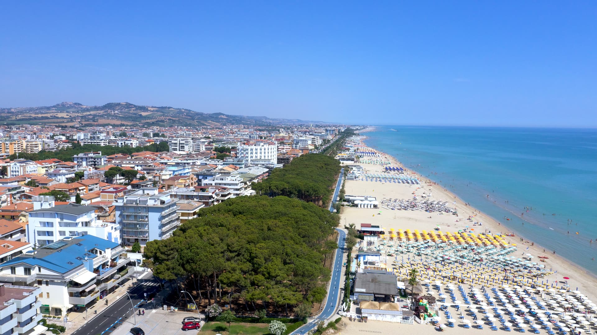
Alba Adriatica
Province: Teramo
The northernmost of the Teramo coast's seven sisters, a 1956 spin-off from Tortoreto with a fine-sand beach known as the Spiaggia d'Argento.
Giulianova
Province: Teramo
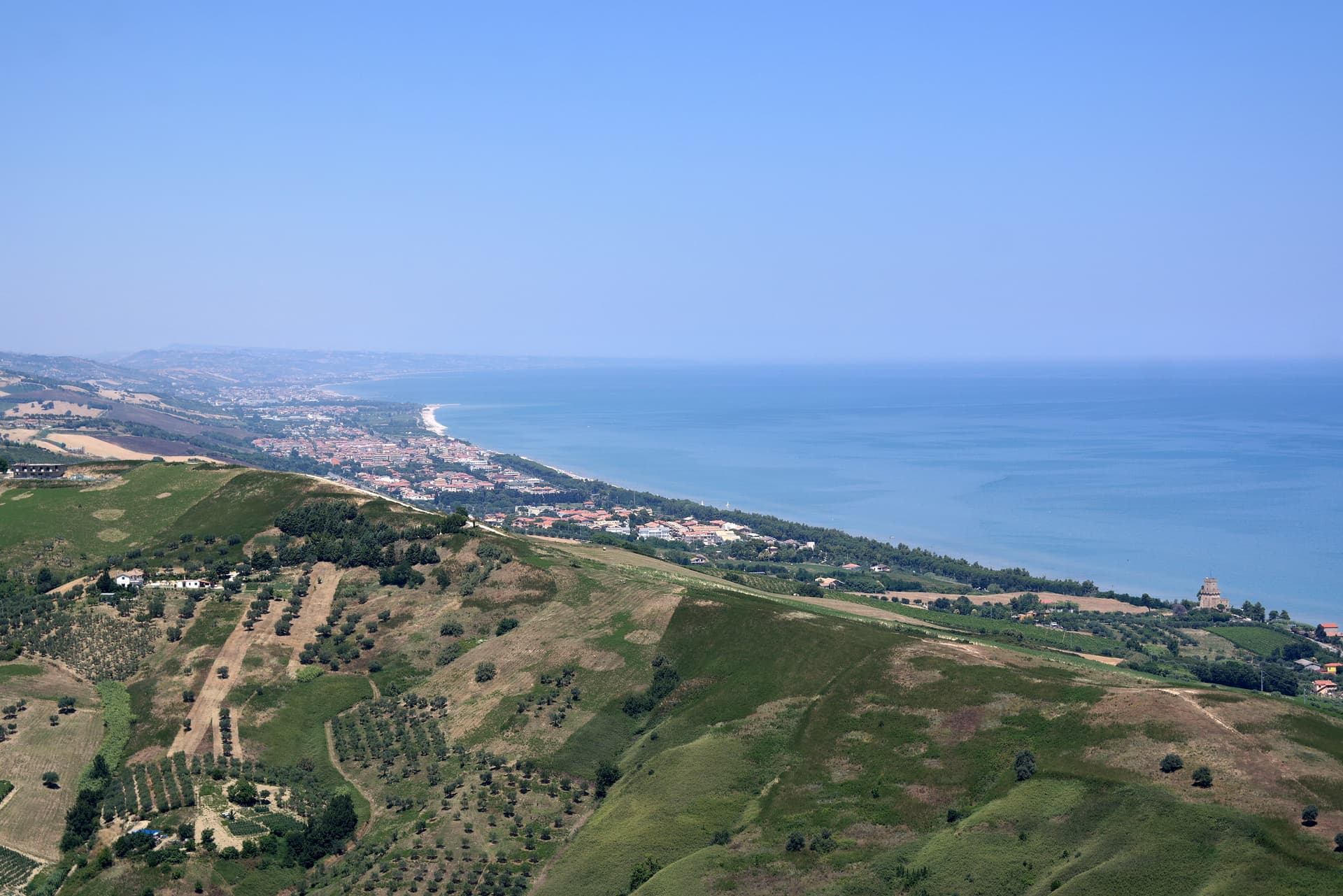
Coastal town split between hilltop Paese at 68 meters and the lido, rebuilt in 1471 as a Renaissance ideal city by Giulio Antonio Acquaviva.
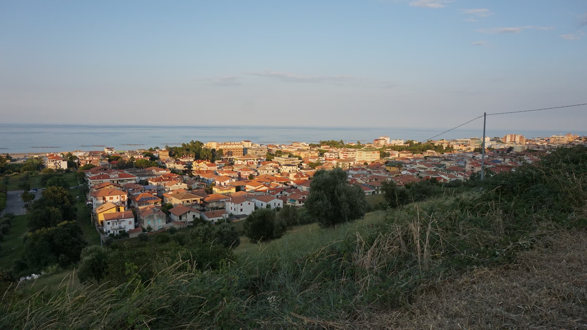
Pineto
Province: Teramo
A planned twentieth-century beach town named for D'Annunzio's poem, with the sixteenth-century Cerrano tower anchoring Abruzzo's first marine protected area.
Roseto degli Abruzzi
Province: Teramo
An Adriatic beach town of 25,500 with ten kilometers of low-rise sand, a hilltop frazione at 285 meters, and Blue Flags since 1995.
Scanno
Province: L'Aquila
A 1,057-meter Sagittario valley village photographed by Cartier-Bresson and Giacomelli, where women in black still walk the same alleys as the 1957 series.