
Abruzzo · L'Aquila
Morino
A village in the Val Roveto on the Lazio border, beneath the central Apennines' second-highest waterfall at over 80 meters.
Known for
ZOMPO LO SCHIOPPO
80-meter waterfall, the central Apennines' second-highest natural fall, the village's name in the regional nature reserve.
ROSCETTE CHESTNUTS
Local sweet chestnut variety, peeled and boiled with wild fennel, recognized in the Città del Castagno network.
VAL ROVETO
Mountain corridor along the Liri river toward Lazio, with the hamlet of Rendinara at 914 meters above the main village.
When to visit
Best · Apr–Oct
- J
- F
- M
- A
- M
- J
- J
- A
- S
- O
- N
- D
- Best
- Hot or crowded
- Quiet
- Mostly closed
The festa: natività della Beata Vergine Maria, 8 September
Why come
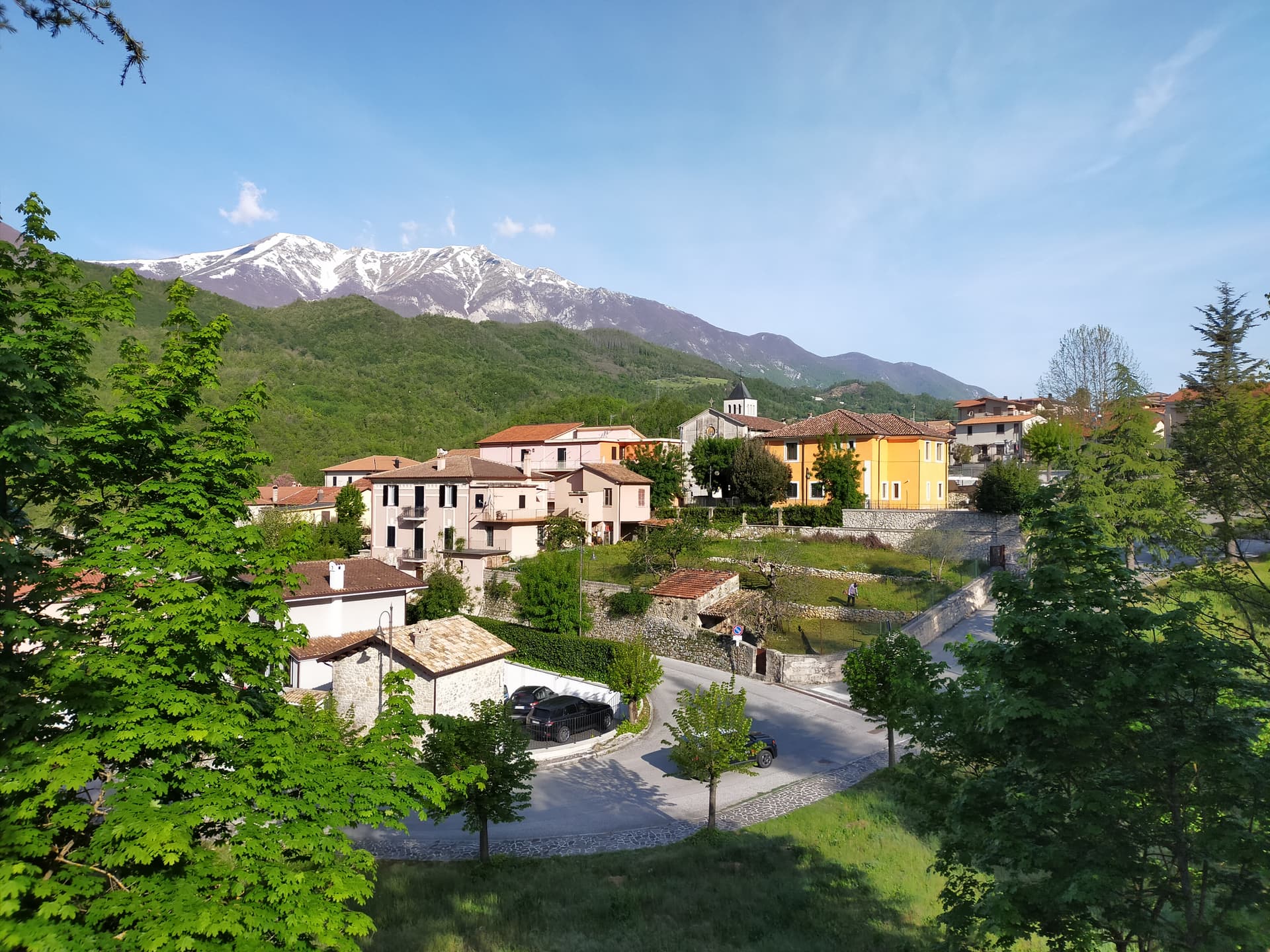
Morino lies in the Val Roveto, the long Liri river corridor that runs south from Avezzano along the Lazio border. The Riserva Naturale Zompo lo Schioppo is the reason people come. The Romito stream drops more than 80 meters off the limestone cliff above the village, making it the second-highest natural waterfall in the central Apennines after the Cascate del Rio Verde at Borrello.
The name is dialect: zompo means leap, schioppo refers to the gunshot crack the water makes hitting the rocks below. The reserve was established in 1987 and covers chestnut woods, beech forests, and the high pastures rising toward Monte Pizzo Deta. Morino is a Città del Castagno; the local roscette chestnuts are peeled and boiled with wild fennel. The hamlet of Rendinara sits above the main village.
The Sunday letter
We haven’t written Morino’s letter yet.
One town every Sunday, with the photo, the food, the festa. Be there when this one comes up. Free, by Peter & Sophia from Pietrasanta.
By subscribing you agree to Substack’s Terms of Use, our Privacy Policy and our Information collection notice.


What to see
Riserva Naturale Zompo lo Schioppo
Protected reserve established 1987 around the waterfall, with beech forests, chestnut groves, and trails climbing toward Monte Pizzo Deta.
Cascata di Zompo lo Schioppo
Waterfall of over 80 meters, second-highest natural fall in the central Apennines after the Rio Verde near Borrello.
Rendinara
Mountain hamlet at 914 meters on the slopes of Monte Pizzo Deta, the highest inhabited frazione of the commune.
Monte Pizzo Deta
At 2,041 meters, the dominant peak of the Ernici-Simbruini range above Morino, accessed from Rendinara.
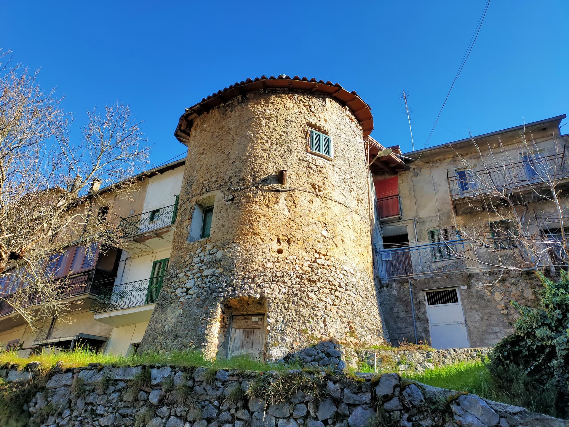
Chiesa di San Martino
Parish church in the main village, restored after the 1915 Marsica earthquake that damaged much of the Val Roveto.
The slow-trip planner
Building a trip? Find where Morino fits in a slow Italy circuit.
Answer five questions. We will shape a geographically coherent slow trip from the 1,000 Italian towns most travelers skip. Yours to save and share.
Living here
- Population 1,303
- Commuter belti
- Pharmacy: none mapped
- Nearest high school over ~30 minutes away
- Nearest airport Naples / Salerno, 2 h 24 min drive
- Regional capital L'Aquila, 1 h 26 min drive
Tags & datadesignations · numbers · sources
Recognised as
The numbers
- Elevation: 440 m
- Population: 1,303
- Surface area: 51.28 km²
These figures were compiled from public directories — ISTAT, OpenStreetMap, Wikidata — and from the official listings of the guides named on this page. Town details change; verify with official sources before you travel.
Close by
More towns near Morino

Balsorano
Province: L'Aquila
At 359 meters in the Valle Roveto, a Piccolomini castle that became the backdrop for half of 1970s Italian horror cinema.
Civita d'Antino
Province: L'Aquila
At 904 meters above the Roveto valley, the ancient Marsi town that became a Danish painters' colony from 1883 until the 1915 earthquake.
Capistrello
Province: L'Aquila
At 734 meters where the upper Liri valley meets the Marsica, the village where Emperor Claudius's 52 AD tunnel emptied a lake into a river.
Isola del Liri
Province: Frosinone
The Ciociaria town with a 27-meter waterfall in its centro storico and a paper-mill past once called the Manchester of Italy.
Scurcola Marsicana
Province: L'Aquila
At 700 meters below Monte San Nicola on the Piani Palentini, the field where Charles of Anjou broke the Hohenstaufen in 1268.
💎 Borghi Autentici
More Borghi Autentici towns in Abruzzo

Archi
Province: Chieti
A 492-meter rocky spur called the Terrazza sul Sangro, fief of del Balzo, Cantelmo, Colonna and Carafa, now Città del Tartufo and Città dell'Olio.

Barrea
Province: L'Aquila
A 1,066-meter spur above an artificial lake at the heart of the Abruzzo National Park, with a Samnite necropolis and an 11th-century di Sangro castle.

Calascio
Province: L'Aquila
At 1,200 meters under the highest castle in the Apennines, a village of 125 people that played the monk's refuge in Ladyhawke.

Campo di Giove
Province: L'Aquila
At 1,064 meters under the southwestern Maiella, the highest village in the park, named for a Roman temple to Jupiter.