

Abruzzo · Chieti
Archi
A 492-meter rocky spur called the Terrazza sul Sangro, fief of del Balzo, Cantelmo, Colonna and Carafa, now Città del Tartufo and Città dell'Olio.
Known for
TERRAZZA SUL SANGRO
Rocky spur over the Val di Sangro and Valle dell'Aventino, the geography that defined the medieval stronghold from the eleventh century.
SUMMER TRUFFLE
Tuber aestivum from surrounding woods, celebrated at the Summer Truffle Trade Show first held in July 2013 and now annual.
OLIVE OIL
Extra-virgin oil from the slopes below the spur, on the official Città dell'Olio oil route through the Sangro Aventino valleys.
When to visit
Best · Apr–Oct
- J
- F
- M
- A
- M
- J
- J
- A
- S
- O
- N
- D
- Best
- Hot or crowded
- Quiet
- Mostly closed
The festa: Vitale di Milano, 28 April
Why come
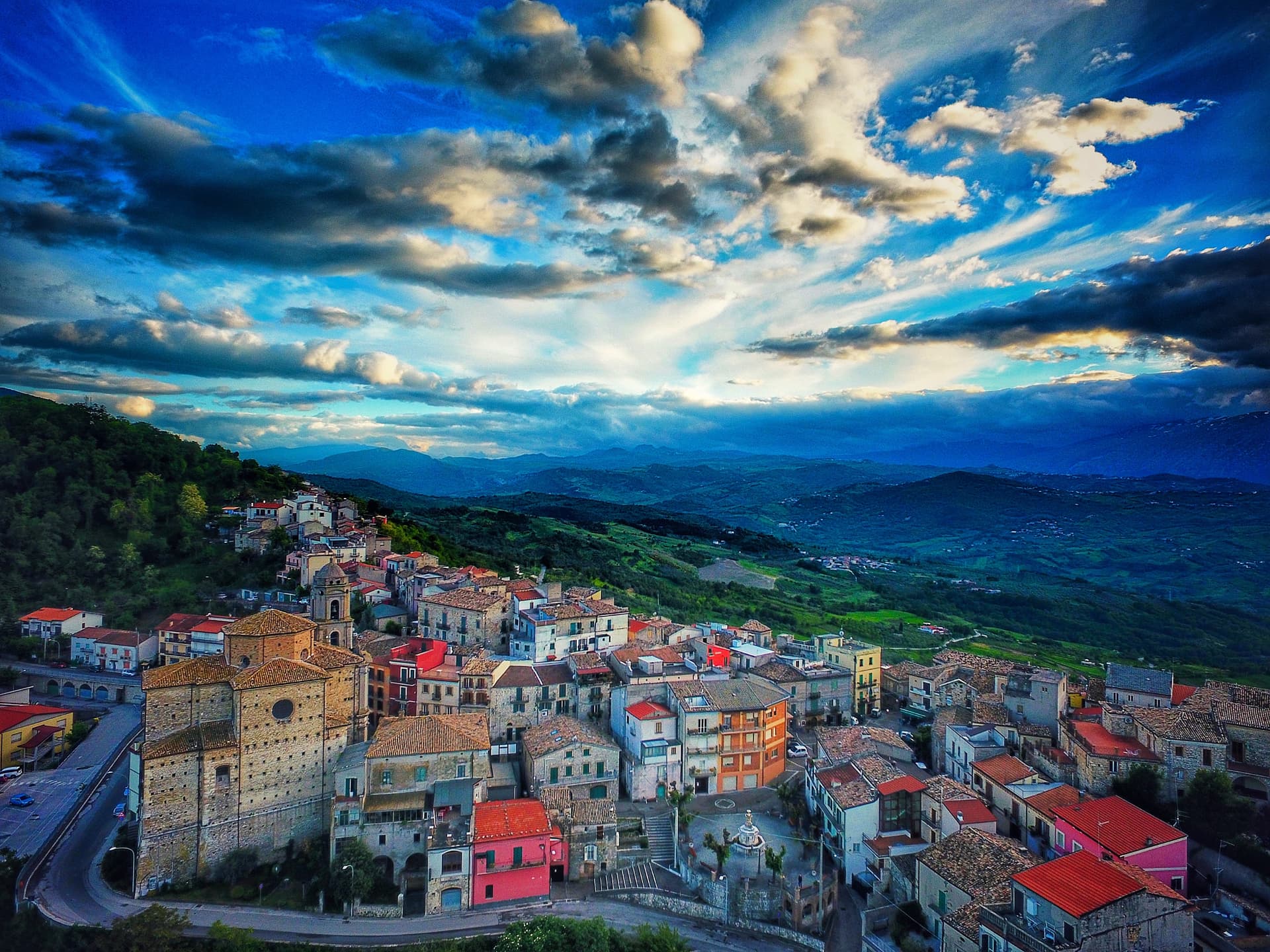
Archi sits on a rocky spur between the Val di Sangro and the Valle dell'Aventino, the geography that earned it the nickname Terrazza sul Sangro. The fortified borough is documented from the eleventh century, and the rocky position made it a stronghold of the Kingdom of Naples until the sixteenth century, held in turn by the del Balzo, Cantelmo, Colonna and Carafa families. The medieval walls and ruins of the fifteenth-century castle, destroyed in the last war, are still visible at the spur's edge.
Seventeenth and eighteenth-century palazzi line the streets between them. The slopes below produce extra-virgin olive oil and summer truffles: Archi held its first Summer Truffle Trade Show in July 2013, and the network designation followed. Standing on the eastern edge of the centro storico, the view runs uninterrupted down both valleys to the Majella massif rising behind.
The Sunday letter
We haven’t written Archi’s letter yet.
One town every Sunday, with the photo, the food, the festa. Be there when this one comes up. Free, by Peter & Sophia from Pietrasanta.
By subscribing you agree to Substack’s Terms of Use, our Privacy Policy and our Information collection notice.
What to see
Ruderi del Castello
Castle ruins reconstructed in the fifteenth century and destroyed in the Second World War, at the eastern tip of the rocky spur.
Mura medievali
Sections of medieval city walls preserved along the perimeter of the centro storico, marking the fortified borough's original line.
Palazzi storici
Seventeenth and eighteenth-century civil architecture along the main streets, the residences of fief-holding families and notables.
Terrazza sul Sangro
The viewpoint at the spur's eastern edge with an uninterrupted panorama over the Sangro and Aventino valleys toward the Majella.
Chiesa di Santa Maria del Campo
Parish church in the centro storico, with a Baroque interior rebuilt over an older medieval structure.
The slow-trip planner
Building a trip? Find where Archi fits in a slow Italy circuit.
Answer five questions. We will shape a geographically coherent slow trip from the 1,000 Italian towns most travelers skip. Yours to save and share.
Living here
- Population 1,999
- Off the beaten pathi
- Pharmacy in town
- High school within a 30-minute drive
- Train station in the comune
- Nearest airport Ancona / Pescara, 2 h 35 min drive
- Regional capital L'Aquila, 2 h 9 min drive
Tags & datadesignations · numbers · sources
Recognised as
The numbers
- Elevation: 492 m
- Population: 1,999
- Surface area: 28.54 km²
These figures were compiled from public directories — ISTAT, OpenStreetMap, Wikidata — and from the official listings of the guides named on this page. Town details change; verify with official sources before you travel.
Close by
More towns near Archi
Casoli
Province: Chieti
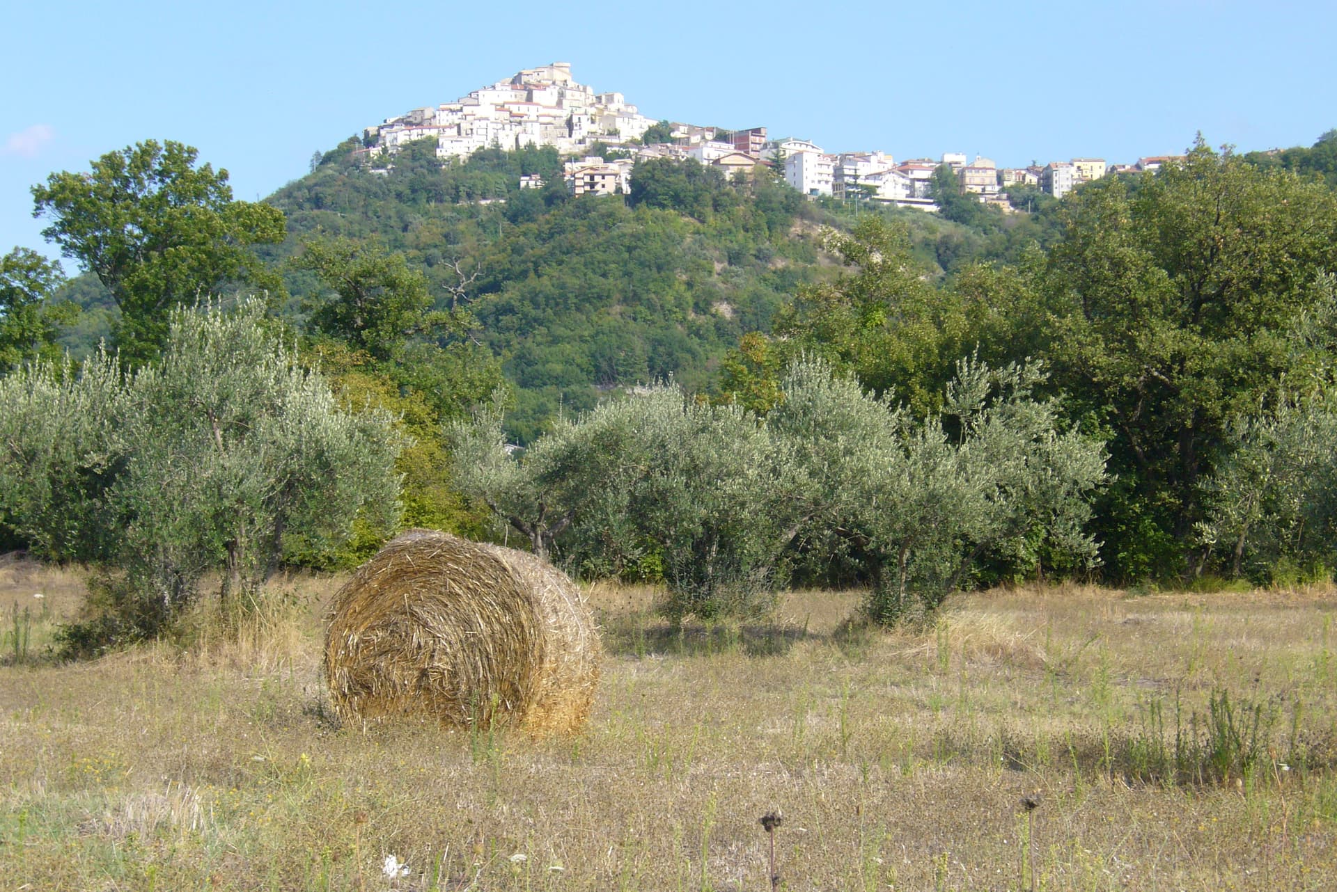
A 378-meter hill town above the Aventino under the Maiella, with a pentagonal Norman tower where Gabriele D'Annunzio held a Renaissance court of artists.
Guardiagrele
Province: Chieti
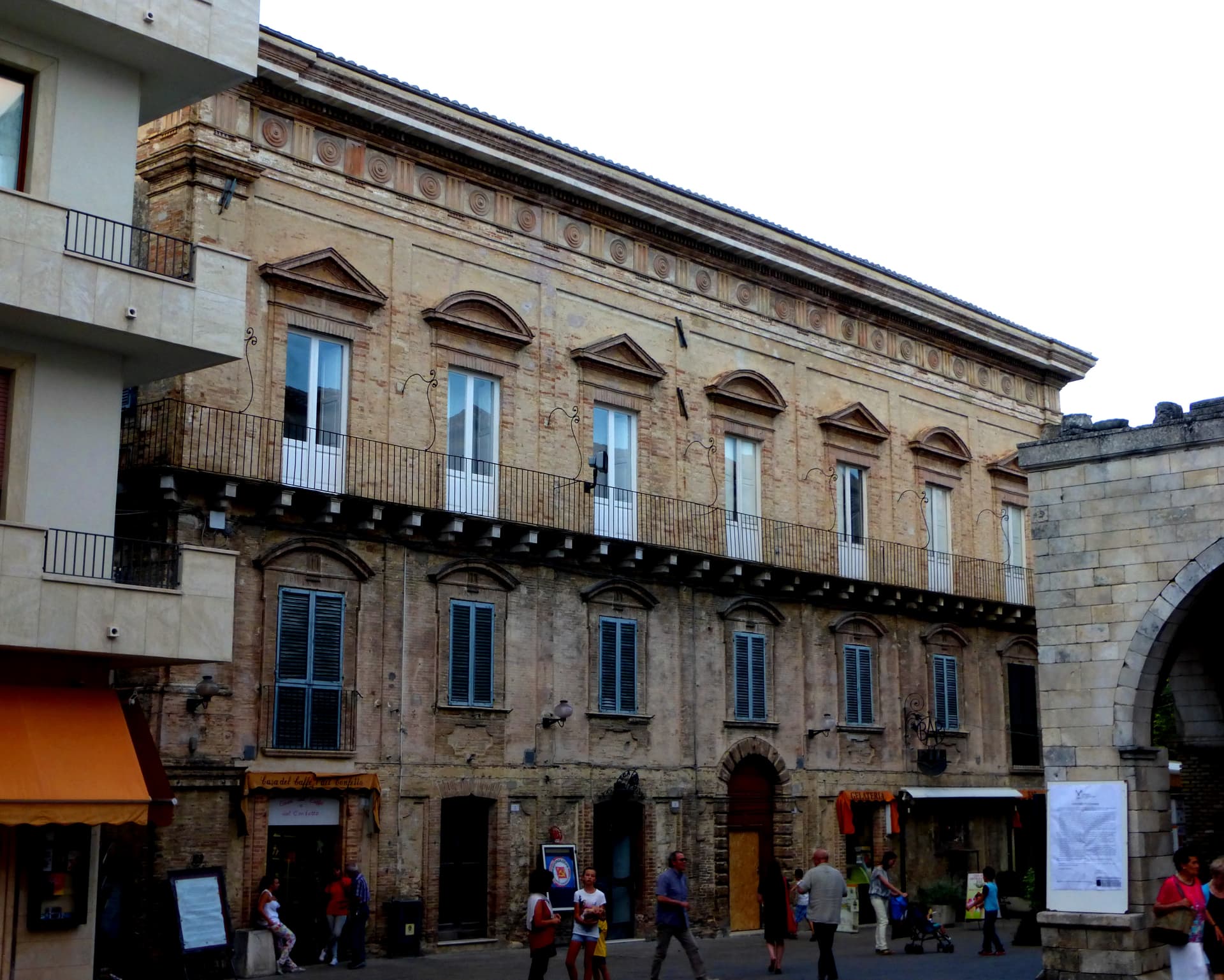
The 576-meter terrazza d'Abruzzo on the Majella's foothills, hometown of fifteenth-century goldsmith Nicola da Guardiagrele and seat of the Majella park.
Monteferrante
Province: Chieti
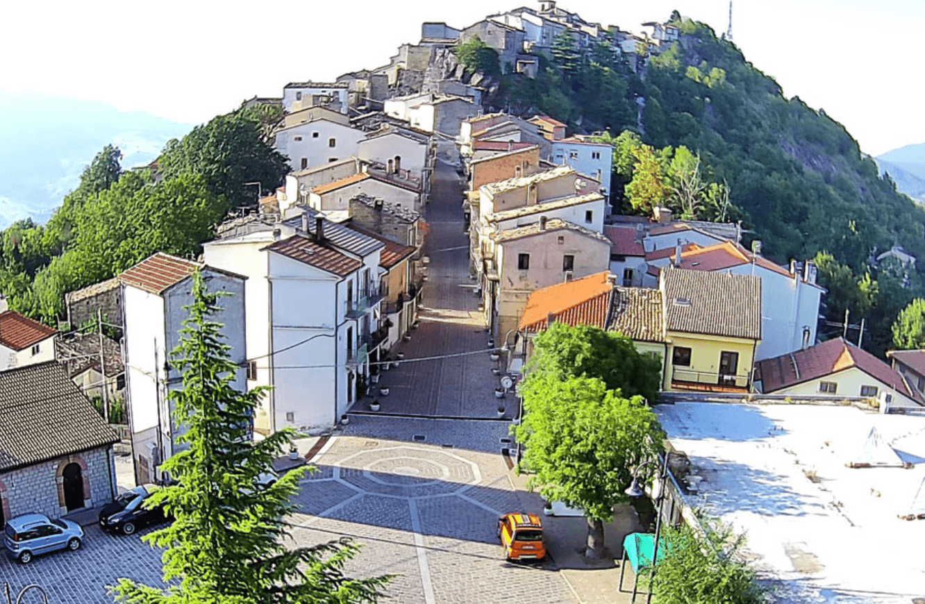
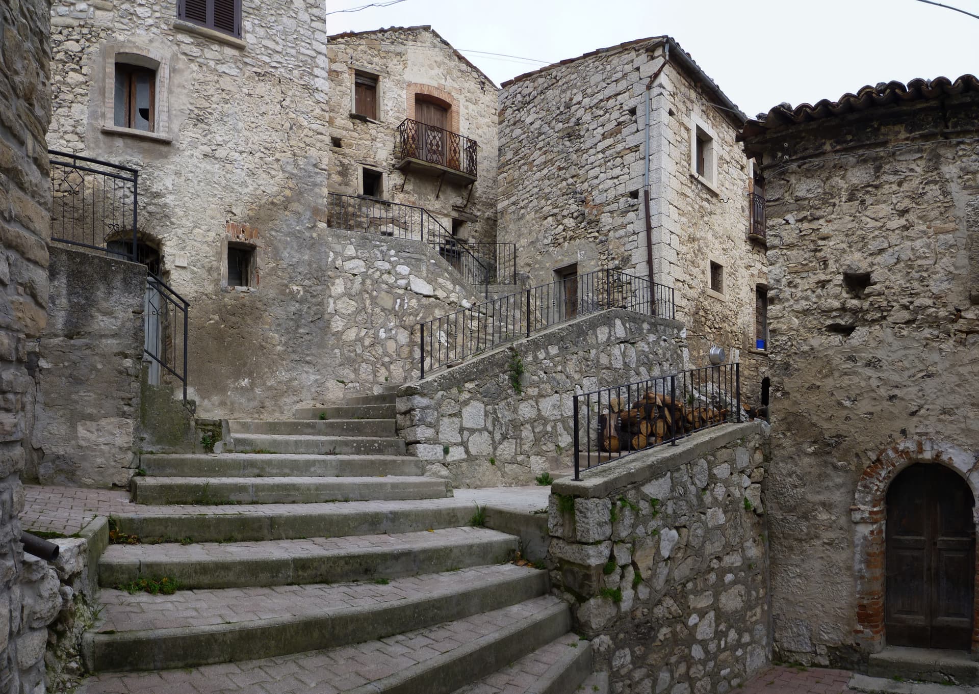
At 800 meters on a terrace above the Sangro valley, a 12th-century Caracciolo feud of 106 people facing Lake Bomba and the Maiella.
Montelapiano
Province: Chieti
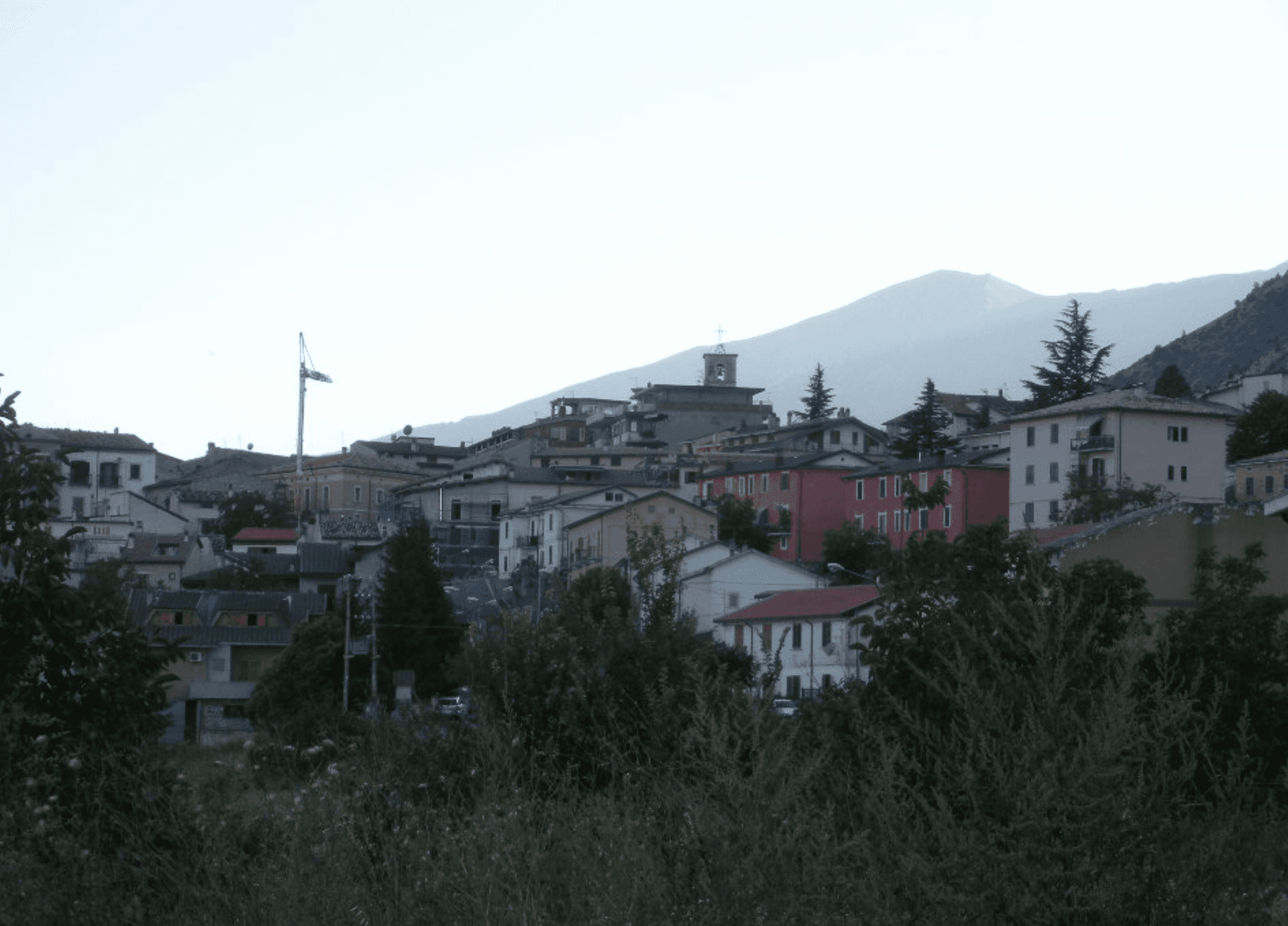
At 740 meters on a limestone marl ridge, the smallest non-Alpine comune in Italy with 67 residents and a view straight onto Lake Bomba.
Lama dei Peligni
Province: Chieti
A 669-meter Majella village known for chamois, the Cavallone cave, and a prehistoric burial dug from Fonterossi dated 7000 to 5000 BC.
💎 Borghi Autentici
More Borghi Autentici towns in Abruzzo
Balsorano
Province: L'Aquila
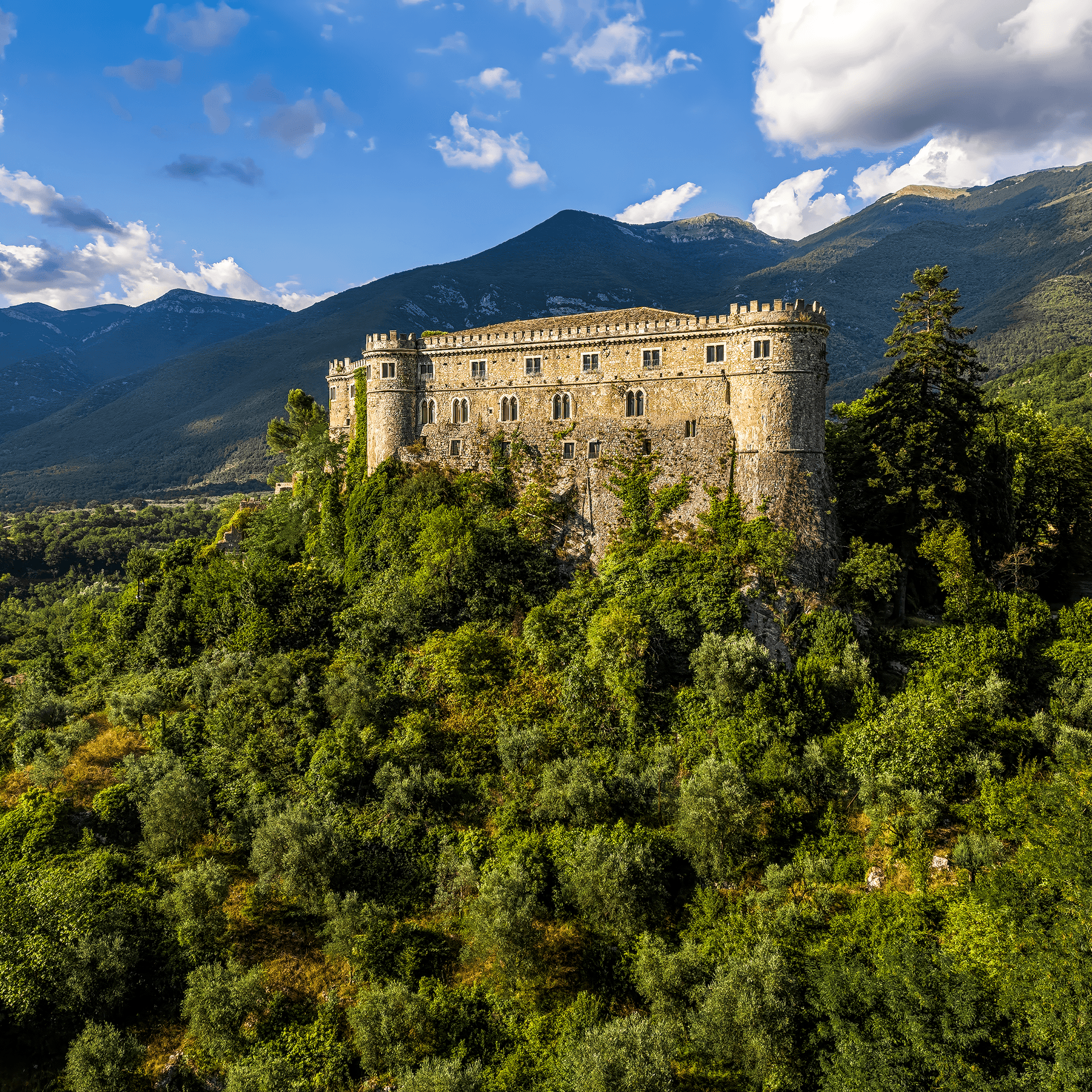
At 359 meters in the Valle Roveto, a Piccolomini castle that became the backdrop for half of 1970s Italian horror cinema.
Barrea
Province: L'Aquila
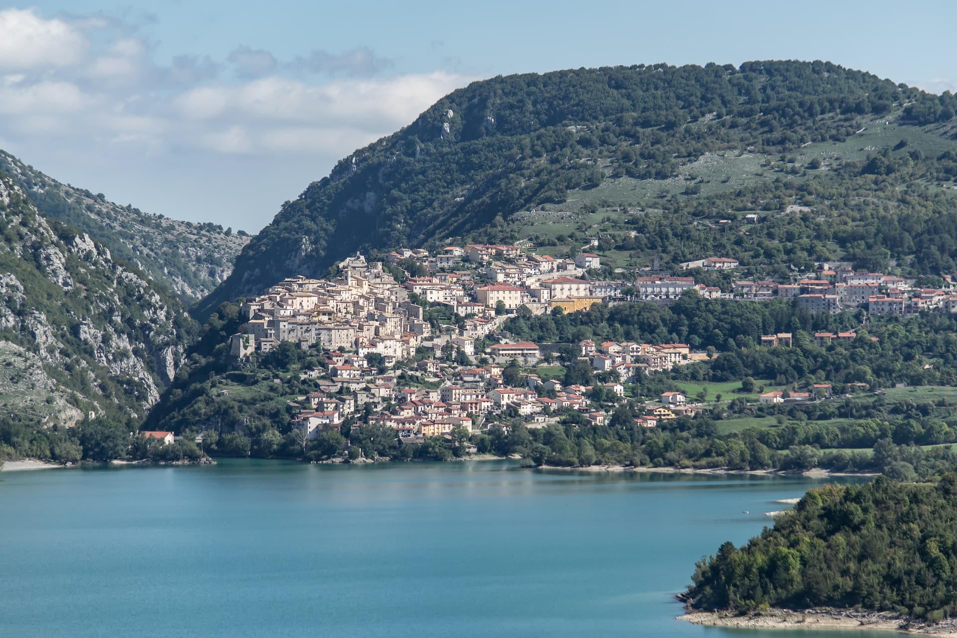
A 1,066-meter spur above an artificial lake at the heart of the Abruzzo National Park, with a Samnite necropolis and an 11th-century di Sangro castle.
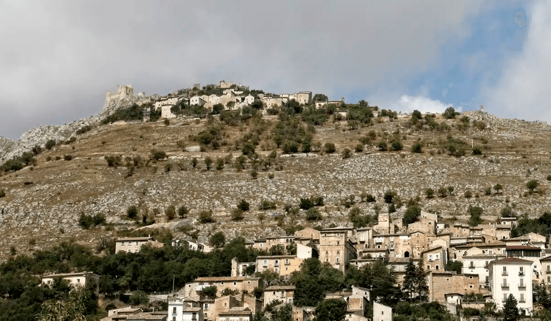
Calascio
Province: L'Aquila
At 1,200 meters under the highest castle in the Apennines, a village of 125 people that played the monk's refuge in Ladyhawke.
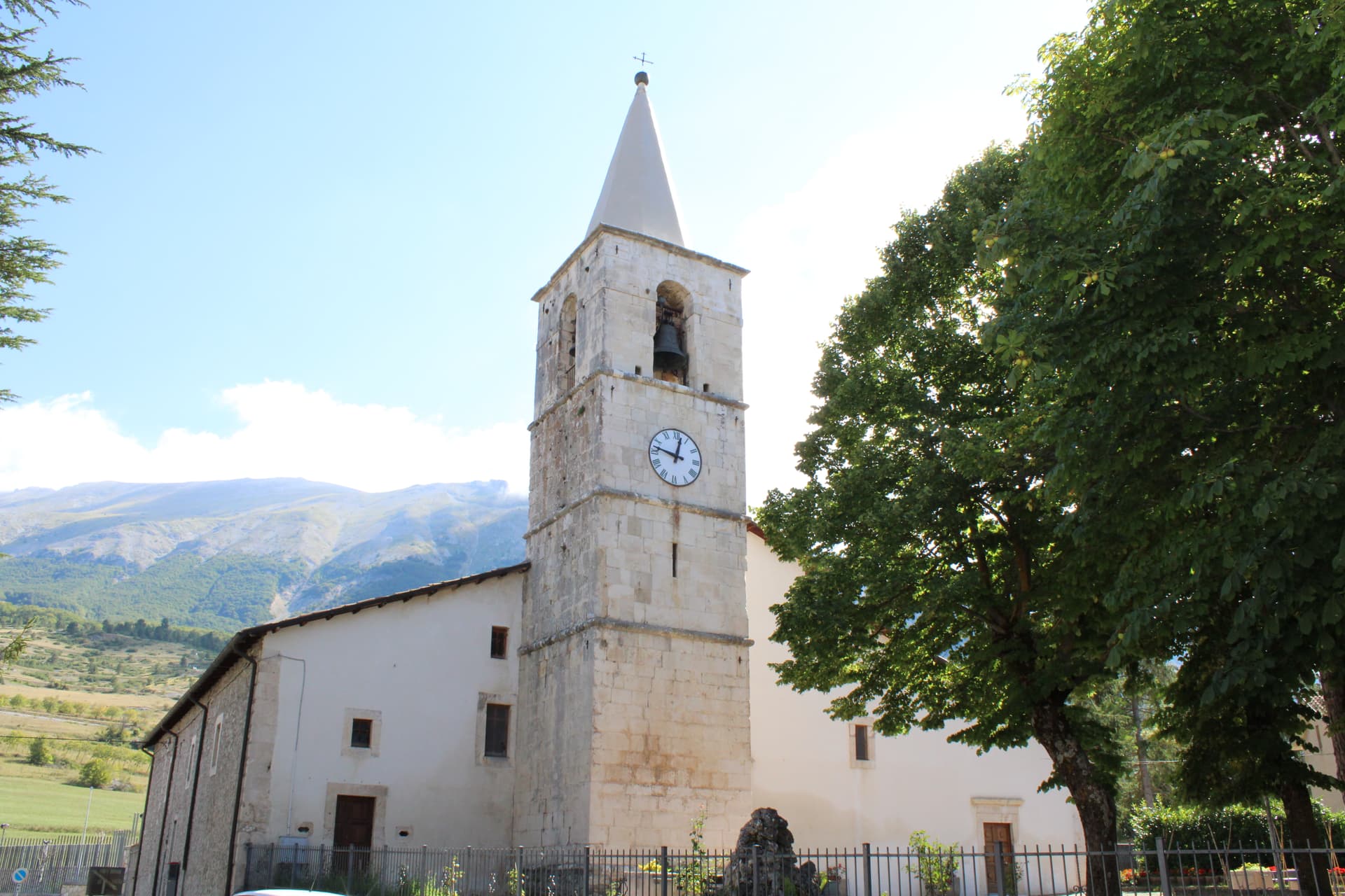
Campo di Giove
Province: L'Aquila
At 1,064 meters under the southwestern Maiella, the highest village in the park, named for a Roman temple to Jupiter.
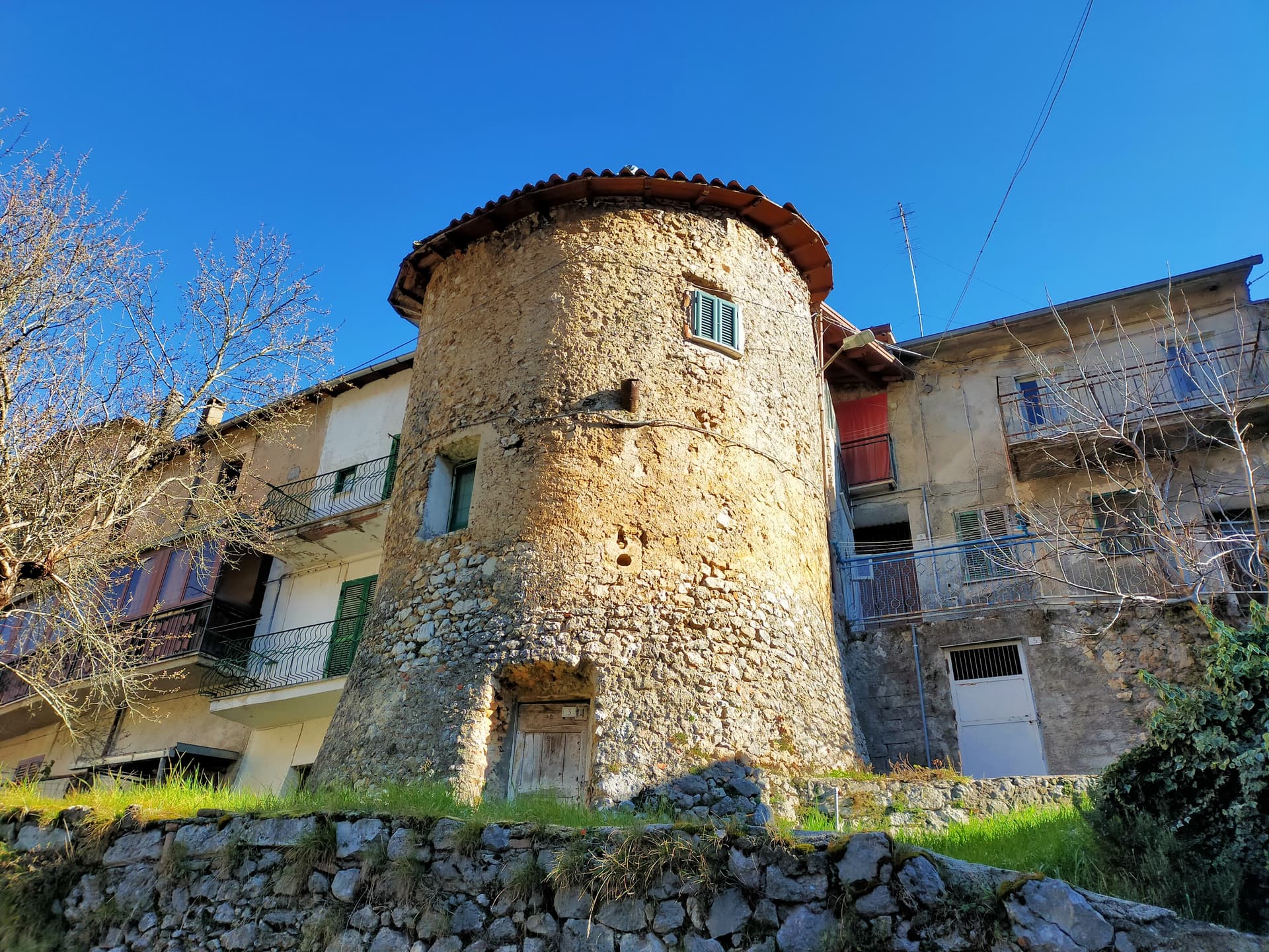
Capistrello
Province: L'Aquila
At 734 meters where the upper Liri valley meets the Marsica, the village where Emperor Claudius's 52 AD tunnel emptied a lake into a river.