

Sicily · Agrigento
Lampedusa e Linosa
Italy's southernmost comune, three islands on the African continental shelf, closer to Tunisia than to Sicily.
Known for
AFRICA, NOT EUROPE
Italy's southernmost commune on the African continental shelf, with flora and fauna of North Africa and seas no deeper than 120 meters between.
LOGGERHEAD TURTLES
Spiaggia dei Conigli on Lampedusa and Pozzolana di Ponente on Linosa, two of the last regular Mediterranean nesting beaches for Caretta caretta.
FRONTIER
Main European arrival point from Libya since 1998, the reception centre at the heart of every Mediterranean migration cycle of the past quarter-century.
When to visit
Best · May–Oct
- J
- F
- M
- A
- M
- J
- J
- A
- S
- O
- N
- D
- Best
- Hot or crowded
- Quiet
- Mostly closed
The festa: Maria, 22 September
Why come
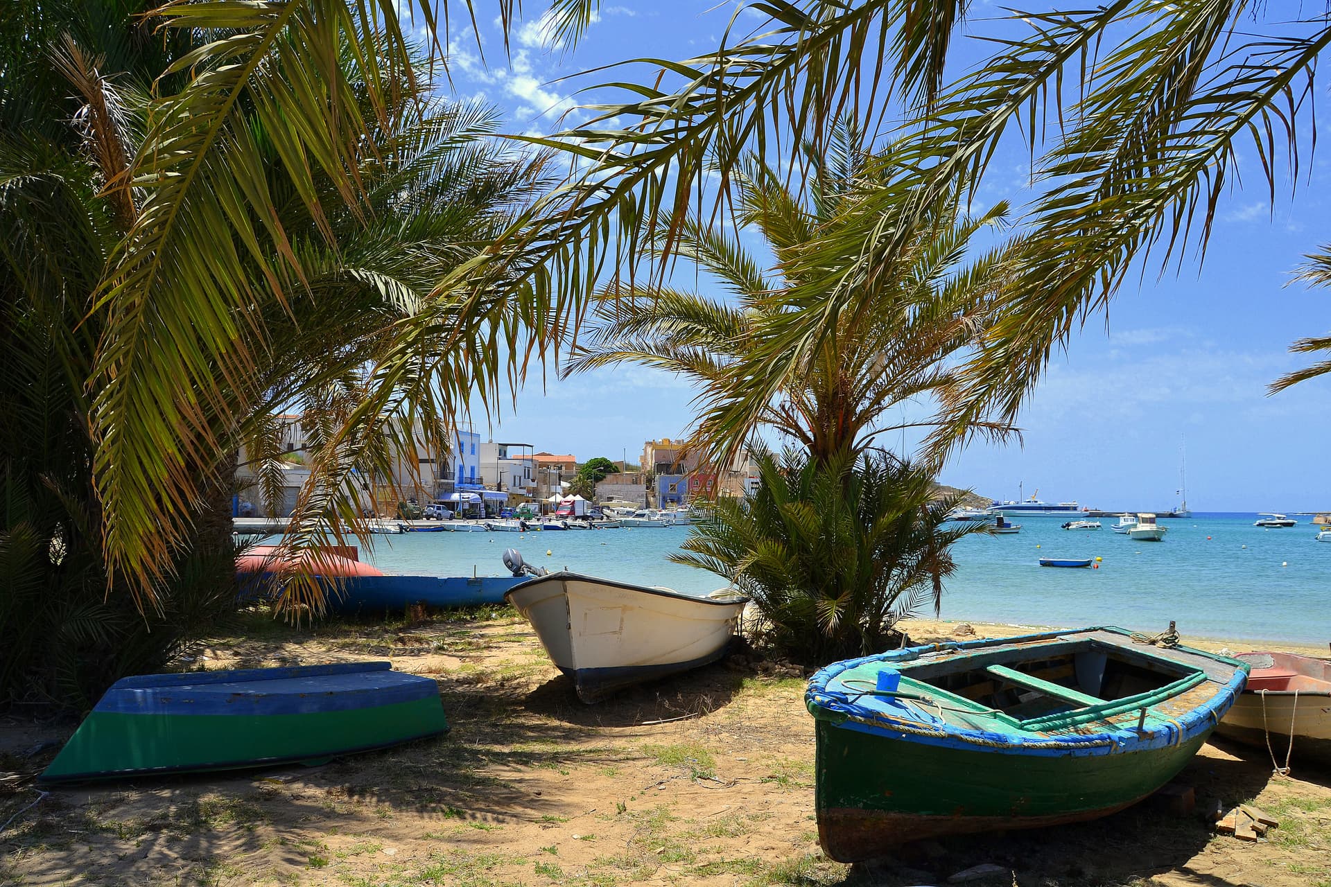
Lampedusa e Linosa is Italy's southernmost commune, three islands in the Strait of Sicily that form the Pelagie archipelago: Lampedusa, Linosa and the uninhabited Lampione. Lampedusa lies 220 kilometers southwest of Agrigento and 260 southeast of Tunis, on the Lampedusa Plateau, a structural high of the African continental shelf separated from Sicily by sea no deeper than 120 meters. The two main islands are geological opposites.
Lampedusa is white Cretaceous limestone, rising to 133 meters at the Sole Tree on the northwest side, with the Spiaggia dei Conigli on the south coast, a protected reserve and one of the last regular Mediterranean nesting sites of the loggerhead sea turtle. Linosa is black basalt with three ancient craters, the southernmost active volcano of the Italian system, with dark cliffs and small coves. The flora and fauna match North Africa. Since 1998 the Lampedusa reception centre has been the main European entry point for migrants crossing from Libya and Tunisia, and the island has held that role through every Mediterranean migration cycle of the past twenty-five years.
The Sunday letter
We haven’t written Lampedusa e Linosa’s letter yet.
One town every Sunday, with the photo, the food, the festa. Be there when this one comes up. Free, by Peter & Sophia from Pietrasanta.
By subscribing you agree to Substack’s Terms of Use, our Privacy Policy and our Information collection notice.
What to see
Spiaggia dei Conigli
Protected south-coast beach of fine sand, a 220-meter cove inside a 320-hectare nature reserve and a loggerhead sea turtle nesting site.
Riserva Naturale Isola di Lampedusa
Sicilian regional reserve established 1995, managed by Legambiente, covering most of the south coast from Vallone dell'Acqua to Cala Greca.
Linosa
Small volcanic island of black basalt with three ancient craters, around forty kilometers north of Lampedusa, with deep coves and a single village.
Area Marina Protetta Isole Pelagie
Marine protected area established in 2002, covering the waters of Lampedusa, Linosa and the uninhabited Lampione.
The slow-trip planner
Building a trip? Find where Lampedusa e Linosa fits in a slow Italy circuit.
Answer five questions. We will shape a geographically coherent slow trip from the 1,000 Italian towns most travelers skip. Yours to save and share.
We recommend
Where to eat and stay
Not our picks, but places the guides put their name to — a Michelin star, a Gambero Rosso fork, a Slow Food snail, a Michelin Key for the hotels. Worth a table, a counter, or a night when you pass through.
Cavalluccio MarinoRistorante
Cavalluccio Marino carries one Gambero Rosso fork (79/100).
Trattoria Terranova da BernardoTrattoria
One Gambero Rosso prawn, at Trattoria Terranova da Bernardo.
Living here
- Population 6,505
- Very remotei
- Pharmacy in town
- High school within a 30-minute drive
- Regional capital Palermo, 46 h 59 min drive
Tags & datadesignations · numbers · sources
Recognised as
The numbers
- Elevation: 25 m
- Population: 6,505
- Surface area: 25.22 km²
On the map
These figures were compiled from public directories — ISTAT, OpenStreetMap, Wikidata — and from the official listings of the guides named on this page. Town details change; verify with official sources before you travel.
Close by
More towns near Lampedusa e Linosa
Pantelleria
Province: Trapani
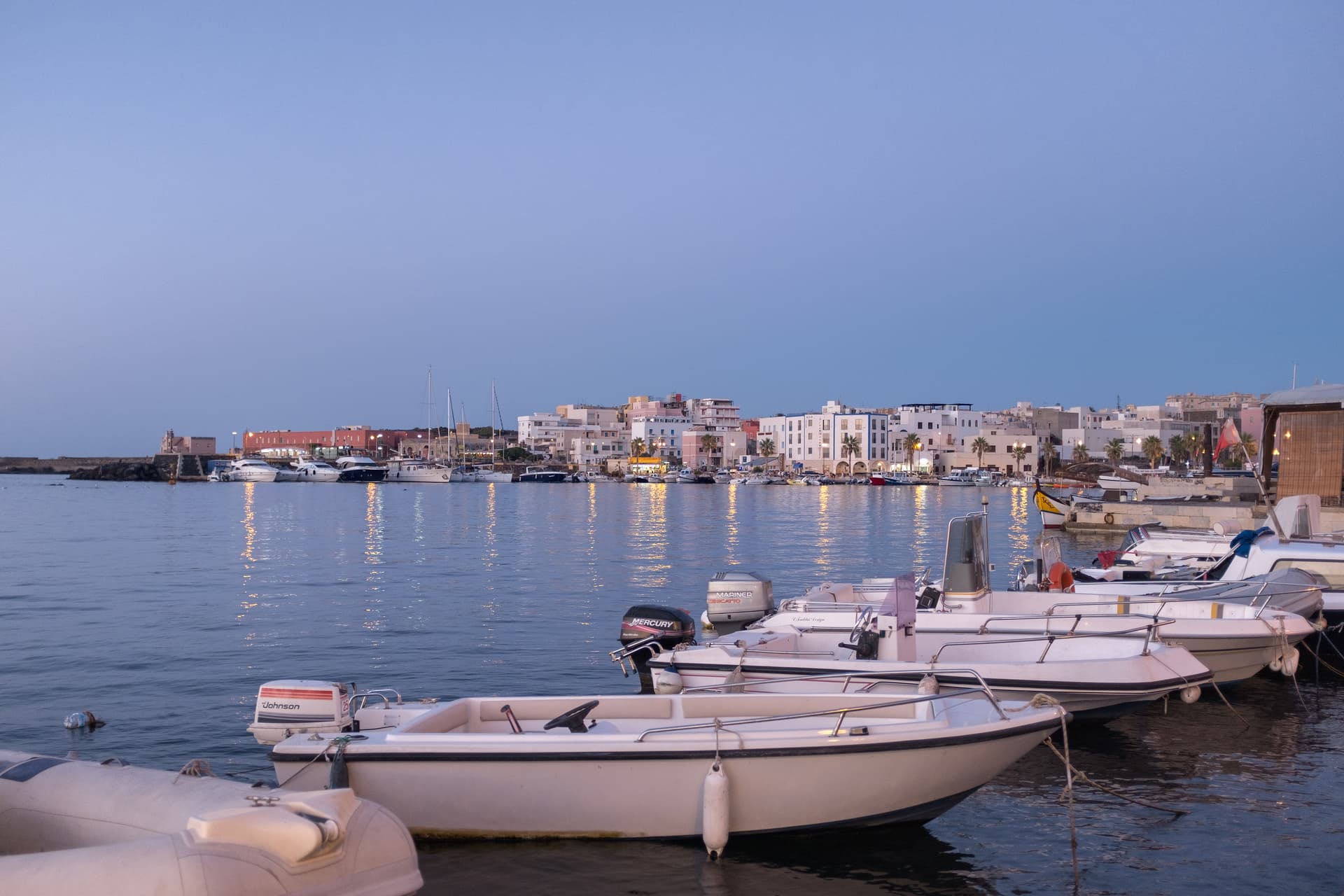
A volcanic island closer to Tunisia than Sicily, where dry-stone dammusi sit among bush-trained Zibibbo vines listed by UNESCO.
Realmonte
Province: Agrigento
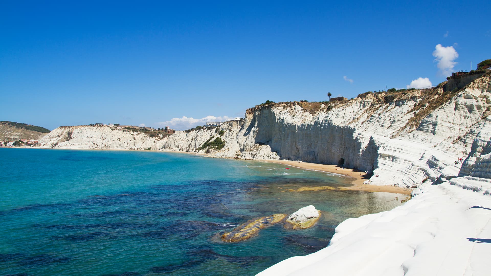
The Agrigento coast commune with the white marl cliff of the Scala dei Turchi and a salt mine carved into 5-million-year-old halite.
Sciacca
Province: Agrigento
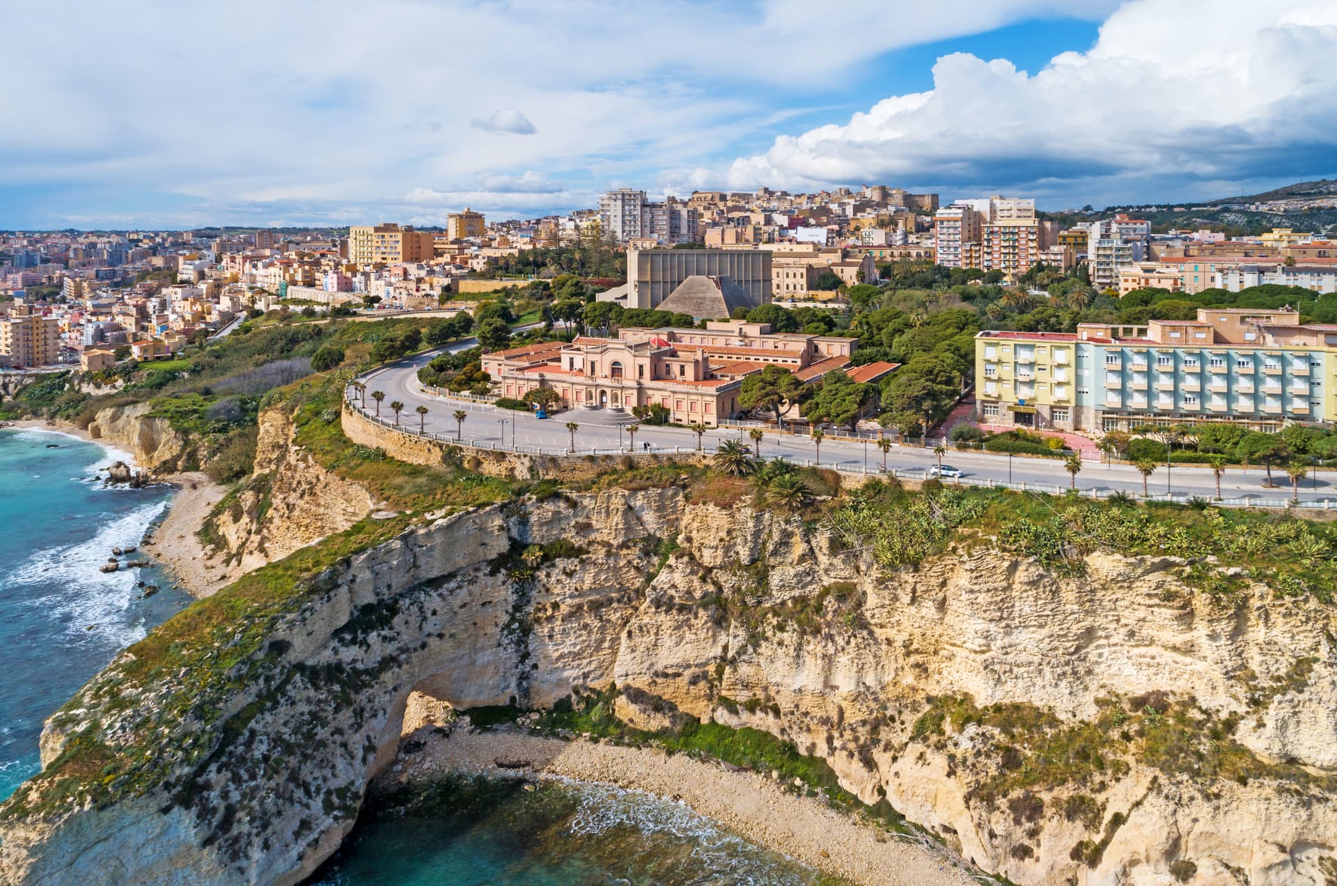
A terraced fishing harbor on Sicily's southwestern coast, Selinunte's thermal spa in the fifth century BC and a ceramics city since the fourteenth.
Menfi
Province: Agrigento
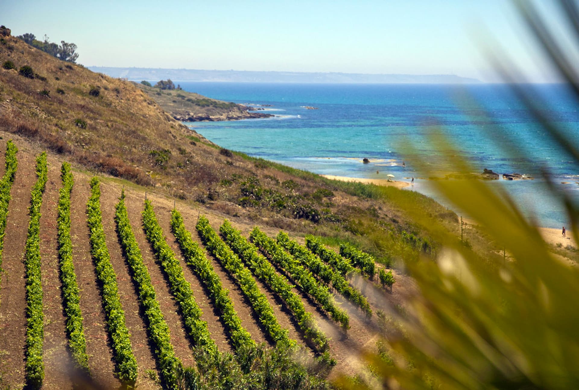
Sicily's triple-signal western coast town — 11,800 residents on a low ridge above 9 km of Bandiera Blu sand at Porto Palo, with the Federico II tower, the Cantine Settesoli cooperative (Italy's largest by volume, 2,000 grower-members), and the rare Bandiera Blu + Città del Vino + Città dell'Olio combination.
Castelvetrano
Province: Trapani
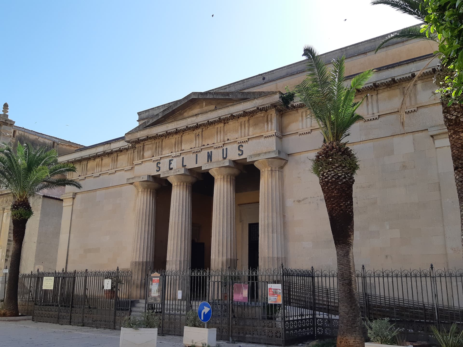
The Belice valley town that owns Selinunte, the largest archaeological park in Europe, and bakes black bread from grain found in its tombs.
♻️ Comuni Virtuosi
More Comuni Virtuosi towns
Alfedena
Province: L'Aquila
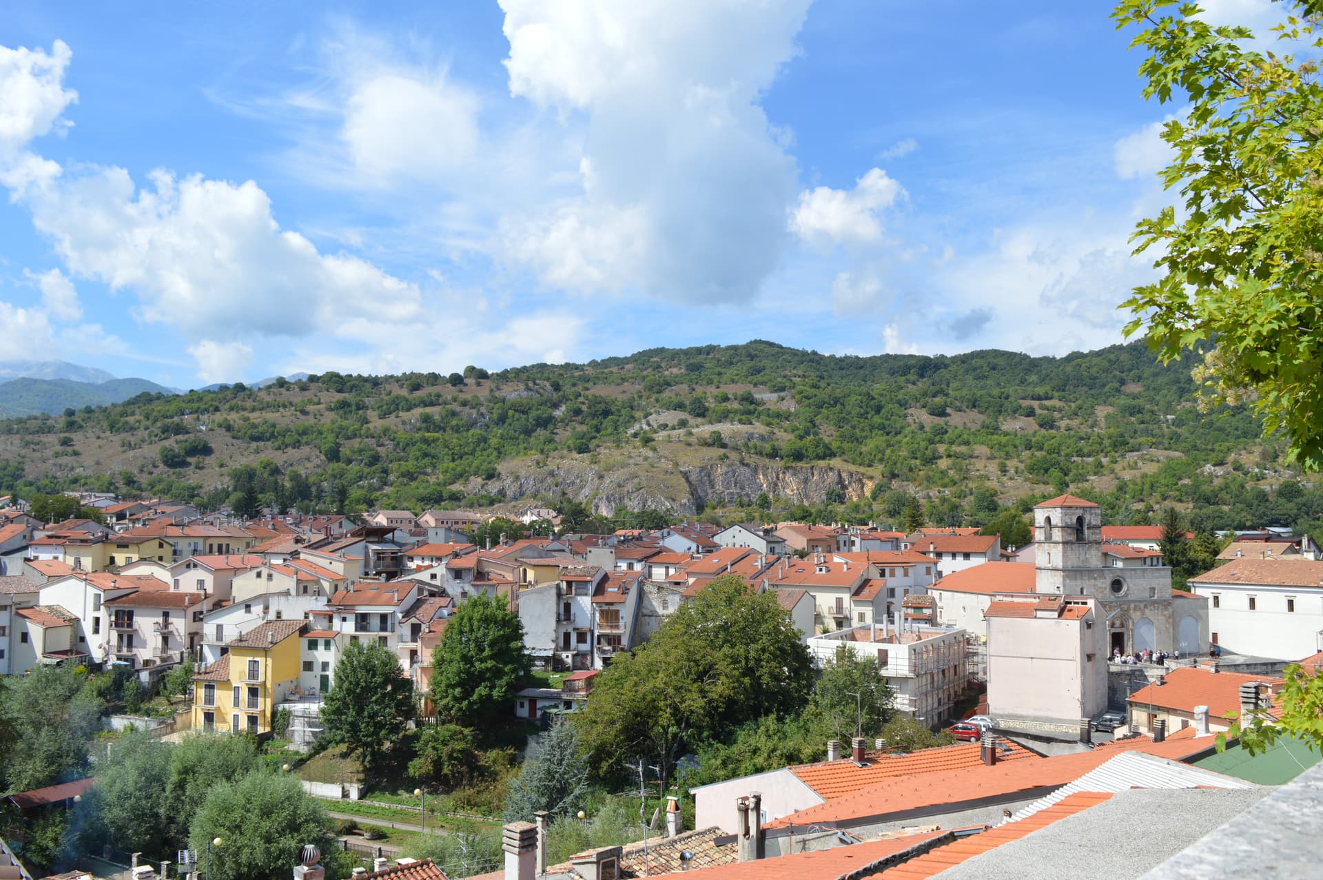
At 914 meters at the head of the upper Sangro valley, the Samnite Aufidena, with a 15,000-tomb necropolis and a Roman conquest in 298 BC.
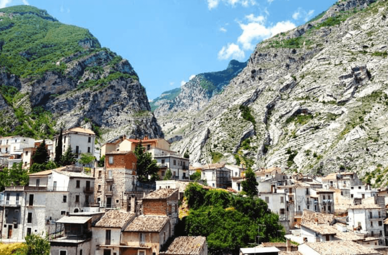
Fara San Martino
Province: Chieti
The pasta capital of Italy at 440 meters, where De Cecco was founded in 1886 and the Verde river runs out of a two-meter slot in the Majella wall.
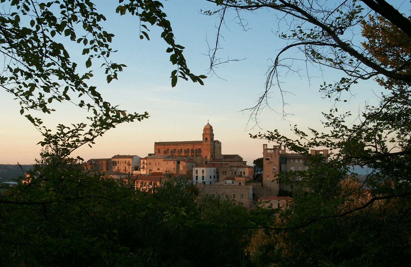
Miglianico
Province: Chieti
A wine hill town at 125 meters between Pescara and the Adriatic, with the sanctuary of San Pantaleone above an unbroken horizon of vineyards.
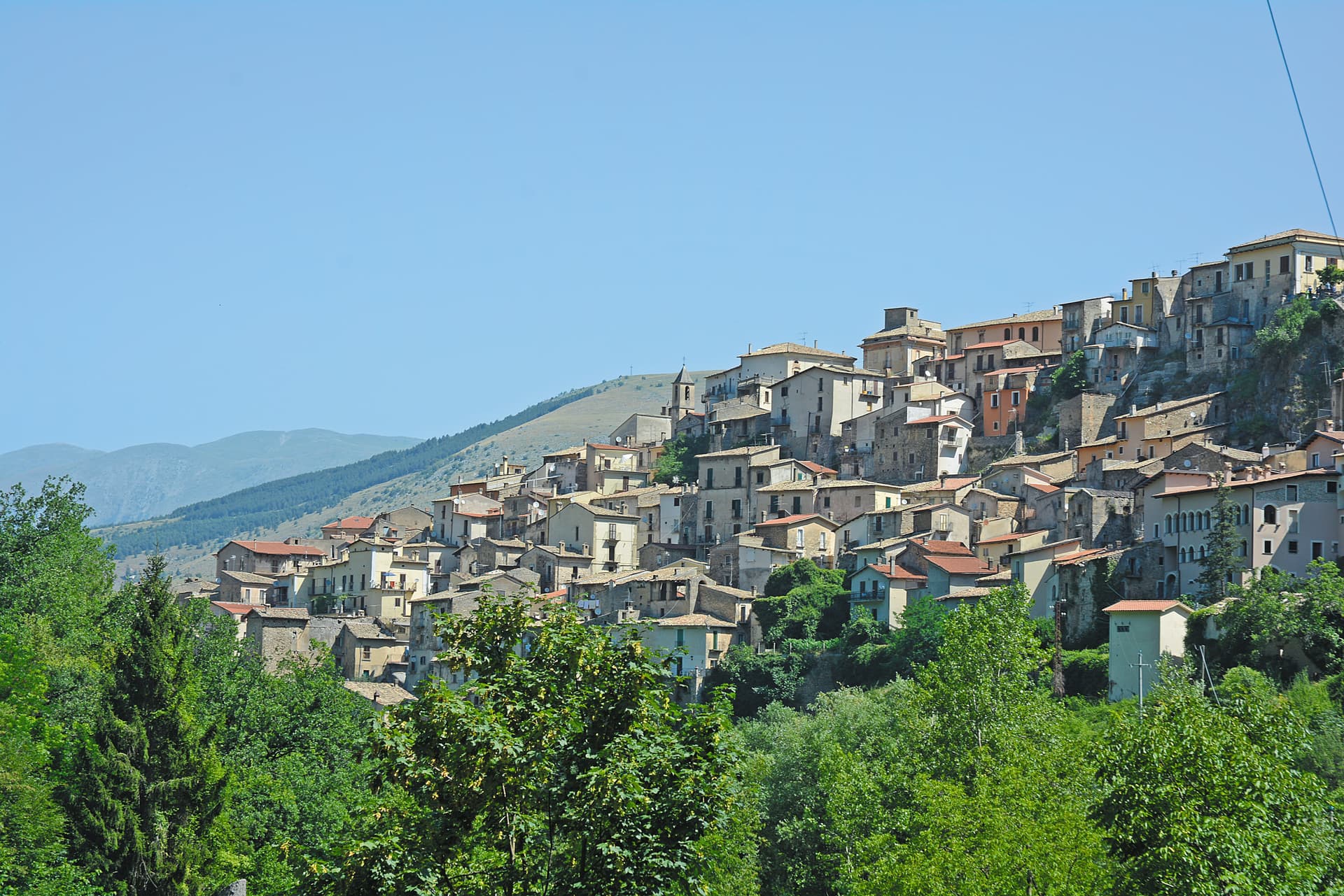
Pettorano sul Gizio
Province: L'Aquila
At 656 meters above the Gizio river, a Cantelmo fortress town that guarded the gateway to the Peligna valley for four hundred years.
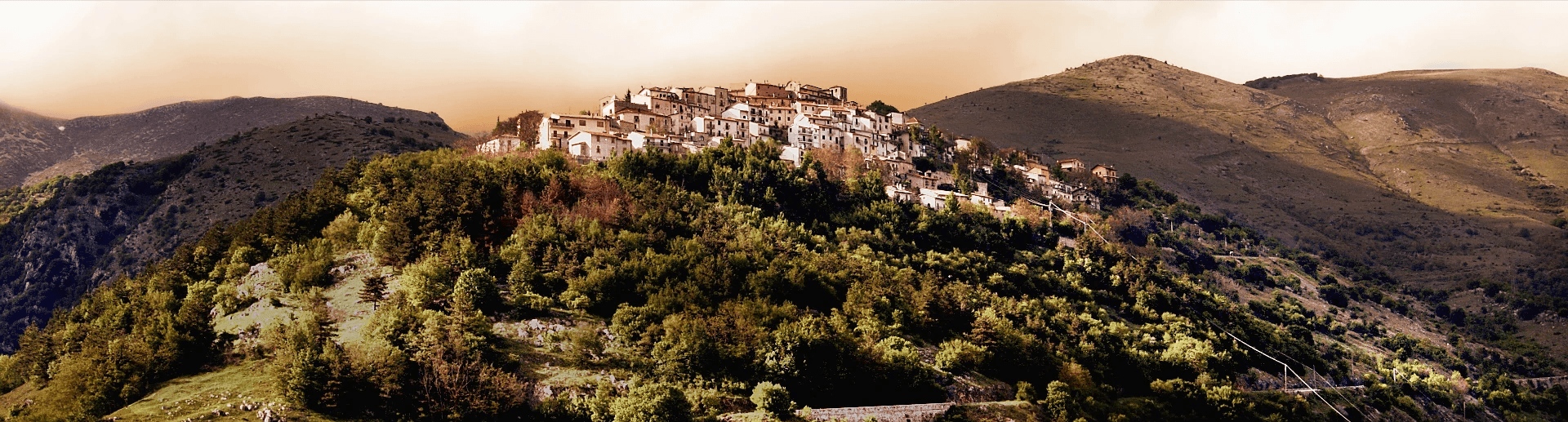
Scontrone
Province: L'Aquila
A 1,038-meter borgo above the Sangro gorge in the Alto Sangro, with two dozen emigration-themed murals and a paleontological site of European importance.