
Sicily · Agrigento
Realmonte
The Agrigento coast commune with the white marl cliff of the Scala dei Turchi and a salt mine carved into 5-million-year-old halite.
Known for
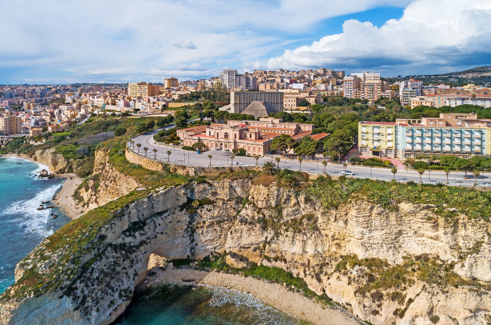
SCALA DEI TURCHI
White marl cliff five million years old, formed in the Zanclean after the Messinian salinity crisis refilled the Mediterranean.
SALT MINE
Twenty-five kilometres of tunnels a hundred metres underground, with a chapel for eight hundred people carved into the salt.
VILLA DURRUELI
First-century AD Roman villa with marble and mosaic floors, uncovered in 1907 during railway construction above the coast.
When to visit
Best · May–Oct
- J
- F
- M
- A
- M
- J
- J
- A
- S
- O
- N
- D
- Best
- Hot or crowded
- Quiet
- Mostly closed
The festa: Domenico di Guzmán, 8 August
Why come
Realmonte sits on the southern Sicilian coast ten kilometres west of Agrigento, on a marl headland above the Mediterranean. The town's founding probably goes back to the second half of the seventeenth century; what makes it visible on a map of Sicily is older. The Scala dei Turchi, the white marl cliff a kilometre west of the centre, is formed of Trubi Formation rock laid down five million years ago when the Mediterranean refilled after the Messinian salinity crisis.
Its name remembers the sixteenth-century pirate raids that used the cliff as a landing point. Andrea Camilleri's Montalbano novels and Giuseppe Tornatore's Malèna both took it for backdrop. Inland, the Realmonte salt mine runs twenty-five kilometres of tunnels a hundred metres underground, with a chapel hollowed from the salt that holds eight hundred people.
A Roman villa with marble and mosaic floors was uncovered above Punta Piccola in 1907 during railway works. The commune holds two institutional signals: Borgo dei Borghi finalist and Città dell'Olio.
The Sunday letter
We haven’t written Realmonte’s letter yet.
One town every Sunday, with the photo, the food, the festa. Be there when this one comes up. Free, by Peter & Sophia from Pietrasanta.
By subscribing you agree to Substack’s Terms of Use, our Privacy Policy and our Information collection notice.


What to see
Scala dei Turchi
White marl cliff of Trubi Formation rock above the sea, named for the sixteenth-century pirate raids that landed below it.
Miniera di salgemma di Realmonte
Salt mine running twenty-five kilometres of tunnels a hundred metres underground, with a chapel carved into the halite face.
Villa Romana di Durrueli
First-century AD villa discovered in 1907, with marble opus sectile rooms, mosaic floors and thermal spa overlooking the sea.
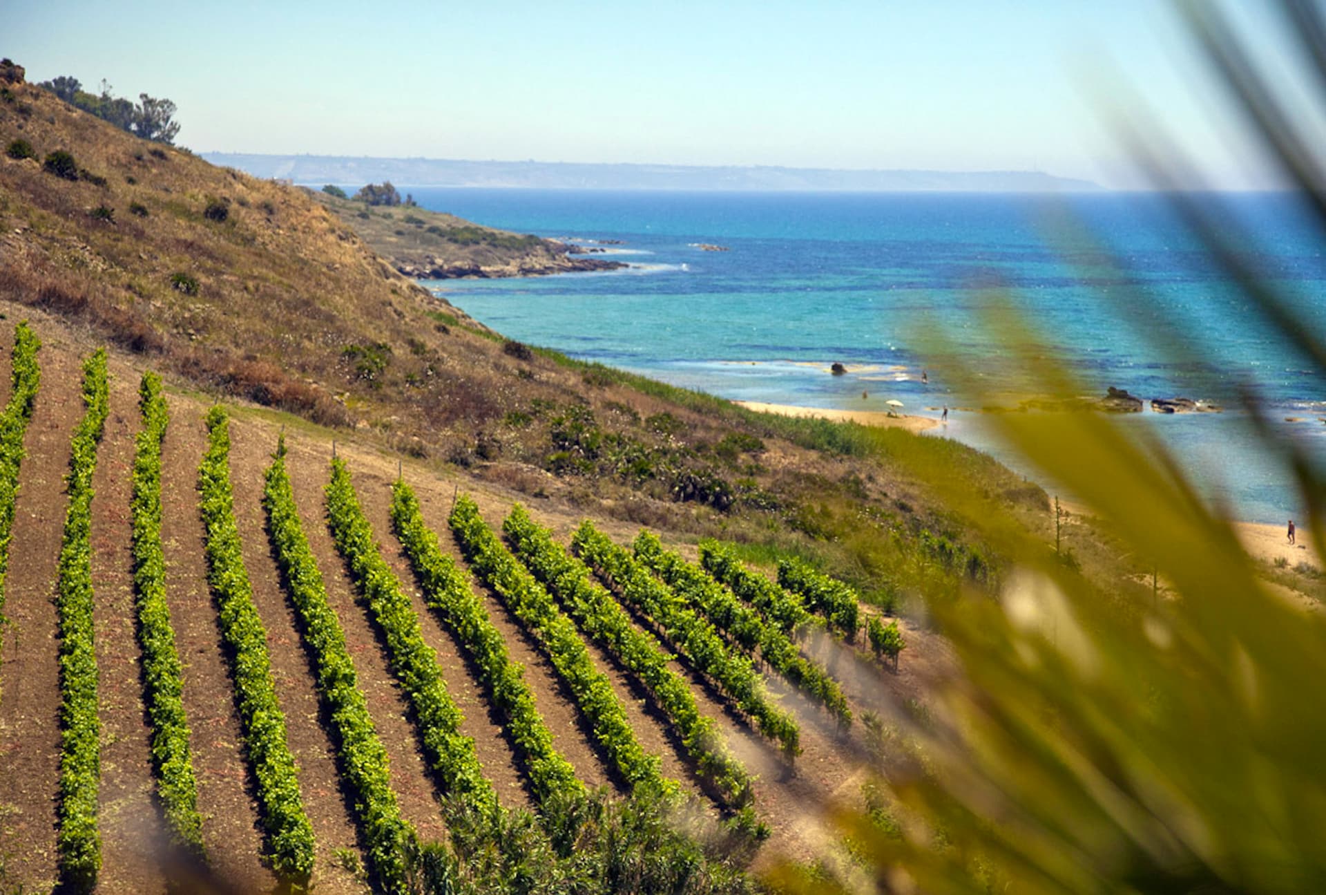
Spiaggia di Lido Rossello
Sandy beach on the eastern side of the Scala dei Turchi headland, sheltered between the cliff and Punta Grande.
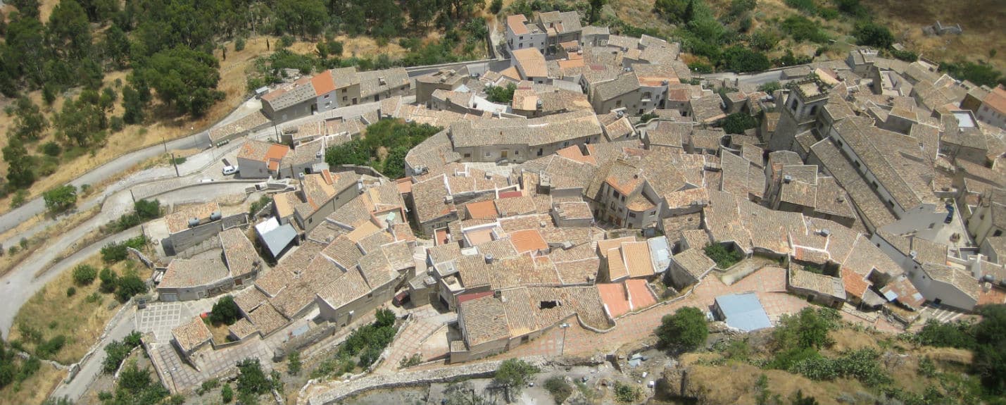
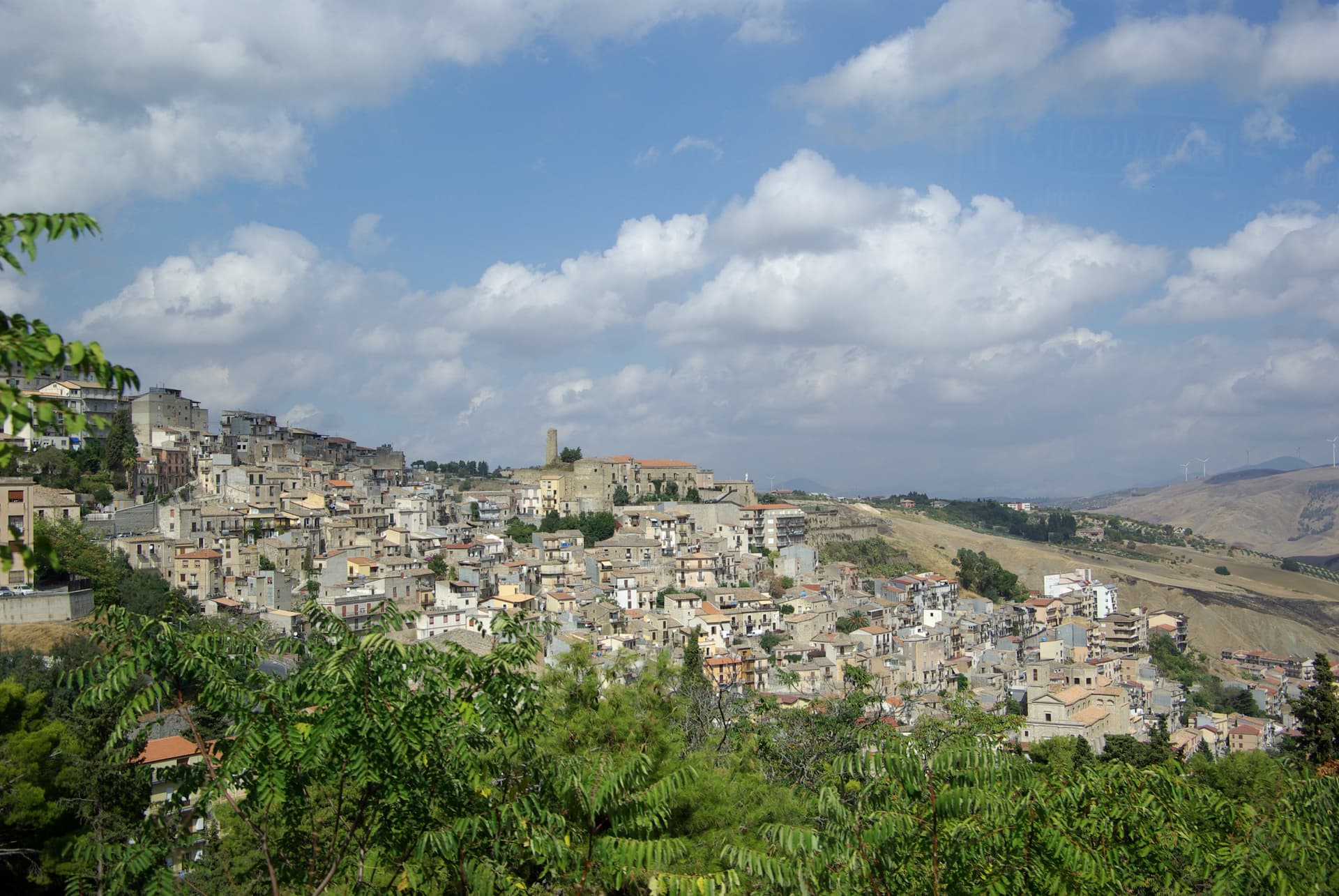
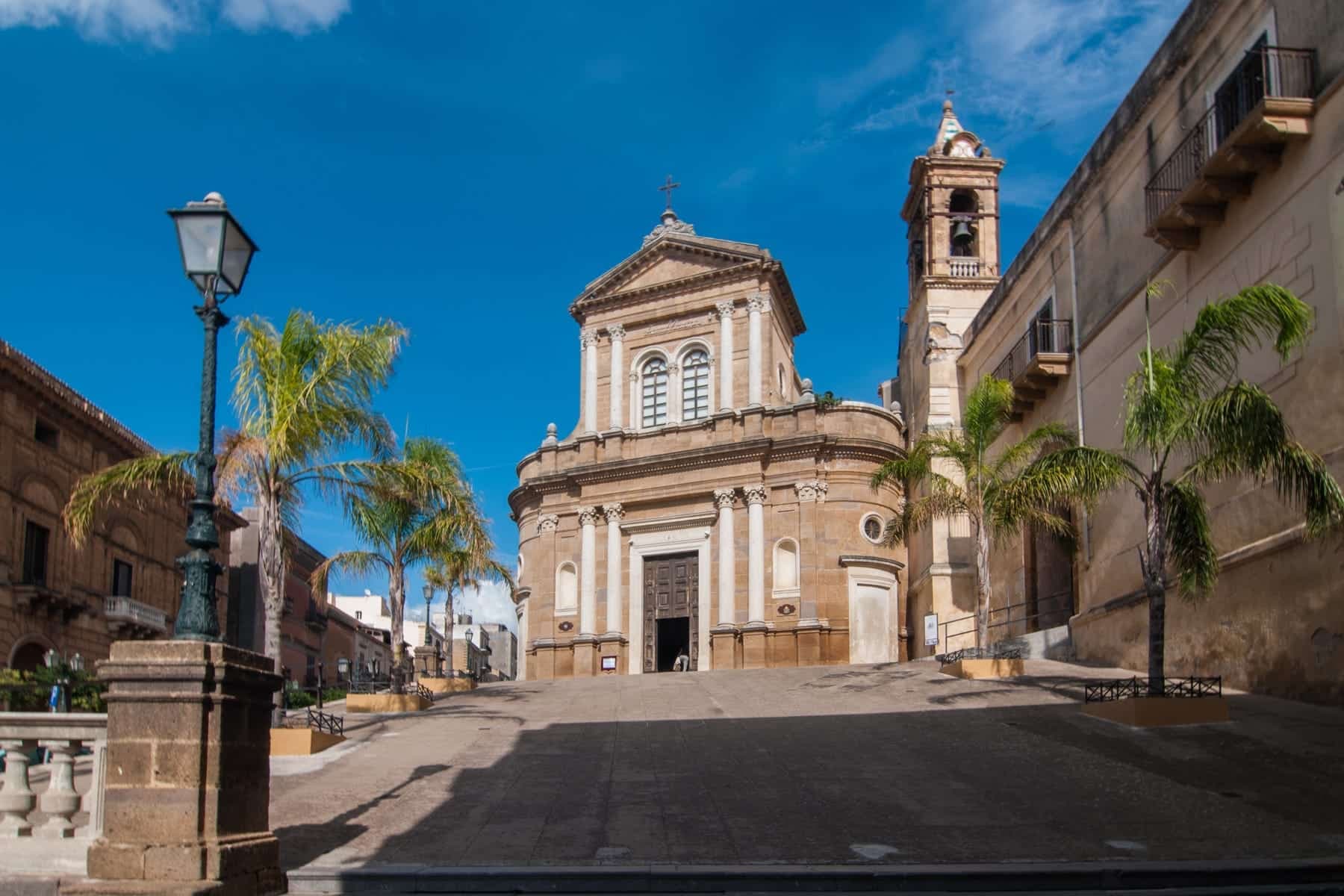
Centro storico
The seventeenth-century town centre on the headland, set back from the cliff above the coast.
The slow-trip planner
Building a trip? Find where Realmonte fits in a slow Italy circuit.
Answer five questions. We will shape a geographically coherent slow trip from the 1,000 Italian towns most travelers skip. Yours to save and share.
Living here
- Population 4,378
- Commuter belti
- Pharmacy in town
- High school within a 30-minute drive
- Nearest airport Sicily, 2 h 25 min drive
- Regional capital Palermo, 2 h 29 min drive
Tags & datadesignations · numbers · sources
Recognised as
The numbers
- Elevation: 153 m
- Population: 4,378
- Surface area: 20.37 km²
These figures were compiled from public directories — ISTAT, OpenStreetMap, Wikidata — and from the official listings of the guides named on this page. Town details change; verify with official sources before you travel.
Close by
More towns near Realmonte
Sutera
Province: Caltanissetta
A medieval village clinging to the base of a 800-meter monolith in the Nisseno interior, with an Arab quarter and a sanctuary on the summit.
Cammarata
Province: Agrigento
A Sicani town at 700 meters on the northeast slope of Monte Cammarata, the 1,578-meter peak that gives the comune its name and shape.
Sciacca
Province: Agrigento
A terraced fishing harbor on Sicily's southwestern coast, Selinunte's thermal spa in the fifth century BC and a ceramics city since the fourteenth.
Menfi
Province: Agrigento
Sicily's triple-signal western coast town — 11,800 residents on a low ridge above 9 km of Bandiera Blu sand at Porto Palo, with the Federico II tower, the Cantine Settesoli cooperative (Italy's largest by volume, 2,000 grower-members), and the rare Bandiera Blu + Città del Vino + Città dell'Olio combination.
Sambuca di Sicilia
Province: Agrigento
An Arab-founded hill town in the Belice valley, named Borgo dei Borghi in 2016, still called Zabut in living memory before 1923.
🏆 Borgo dei Borghi
More Borgo dei Borghi towns in Sicily
Gangi
Province: Palermo
A Madonie hill town stacked down Monte Marone at 1,011 meters, RAI's Borgo dei Borghi 2014 and the launching pad for the one-euro-house programme.
Montalbano Elicona
Province: Messina
A Nebrodi castle town at 907 meters, Frederick III of Aragon's summer residence and gateway to the Argimusco megalithic plateau.
Petralia Soprana
Province: Palermo
The highest village in the Madonie at 1,147 meters, RAI Borgo dei Borghi 2018 winner, sitting above 80 kilometers of salt tunnels.