
Abruzzo · L'Aquila
L'Aquila
The regional capital at 721 meters under the Gran Sasso, founded by Frederick II around 1240 and still reconstructing after the 2009 earthquake.
Known for
FREDERICK'S CITY
Founded around 1240 by Holy Roman Emperor Frederick II, with the legend of 99 castles each building its own piazza inside the walls.
COLLEMAGGIO
1287 basilica where Pietro del Morrone was crowned Pope Celestine V on 29 August 1294; the Perdonanza is celebrated every August.
2009 EARTHQUAKE
Magnitude-6.3 quake on 6 April 2009 killed 308 people and damaged most of the centro storico; reconstruction continues into 2026.
When to visit
Best · May–Oct
- J
- F
- M
- A
- M
- J
- J
- A
- S
- O
- N
- D
- Best
- Hot or crowded
- Quiet
- Mostly closed
Why come
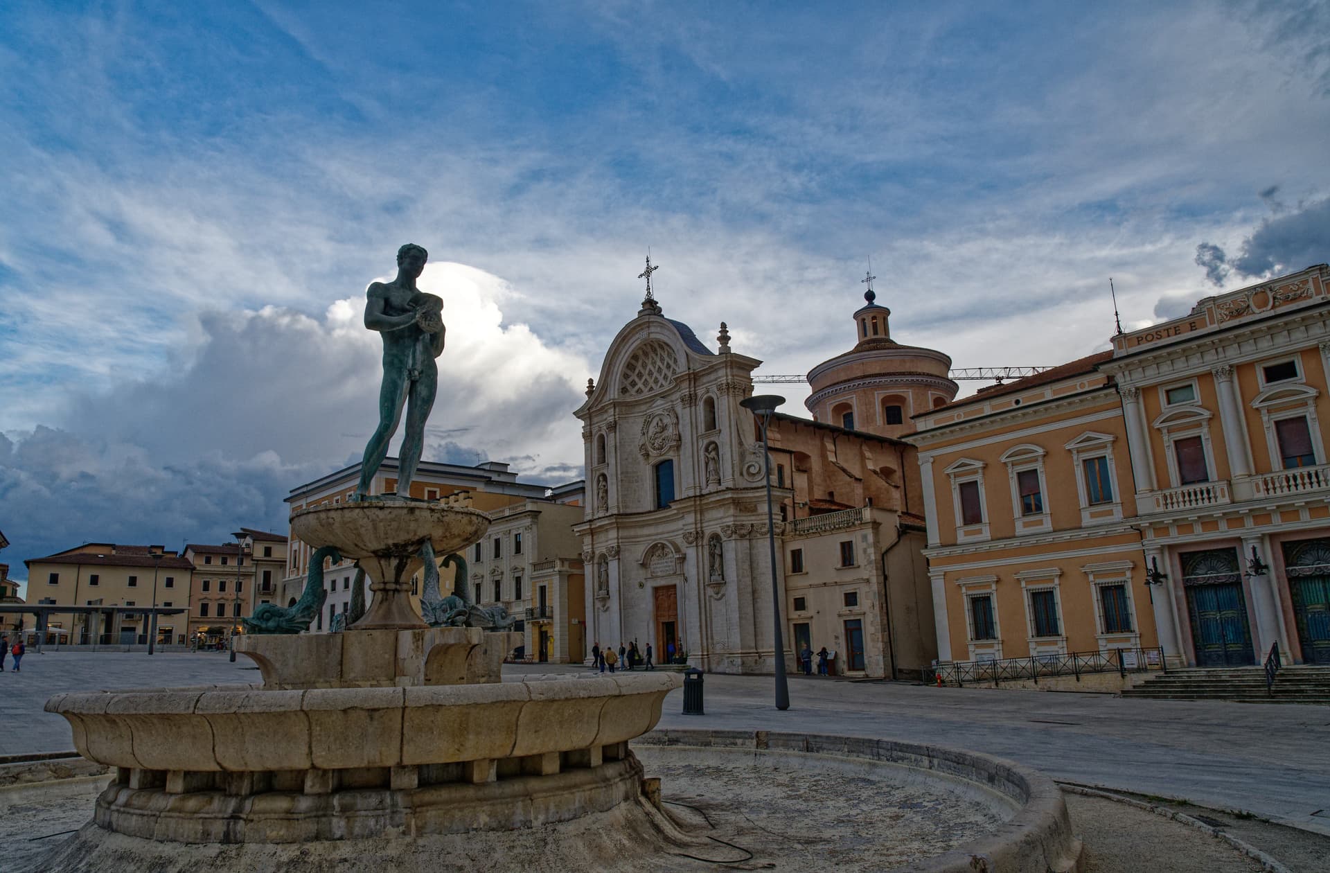
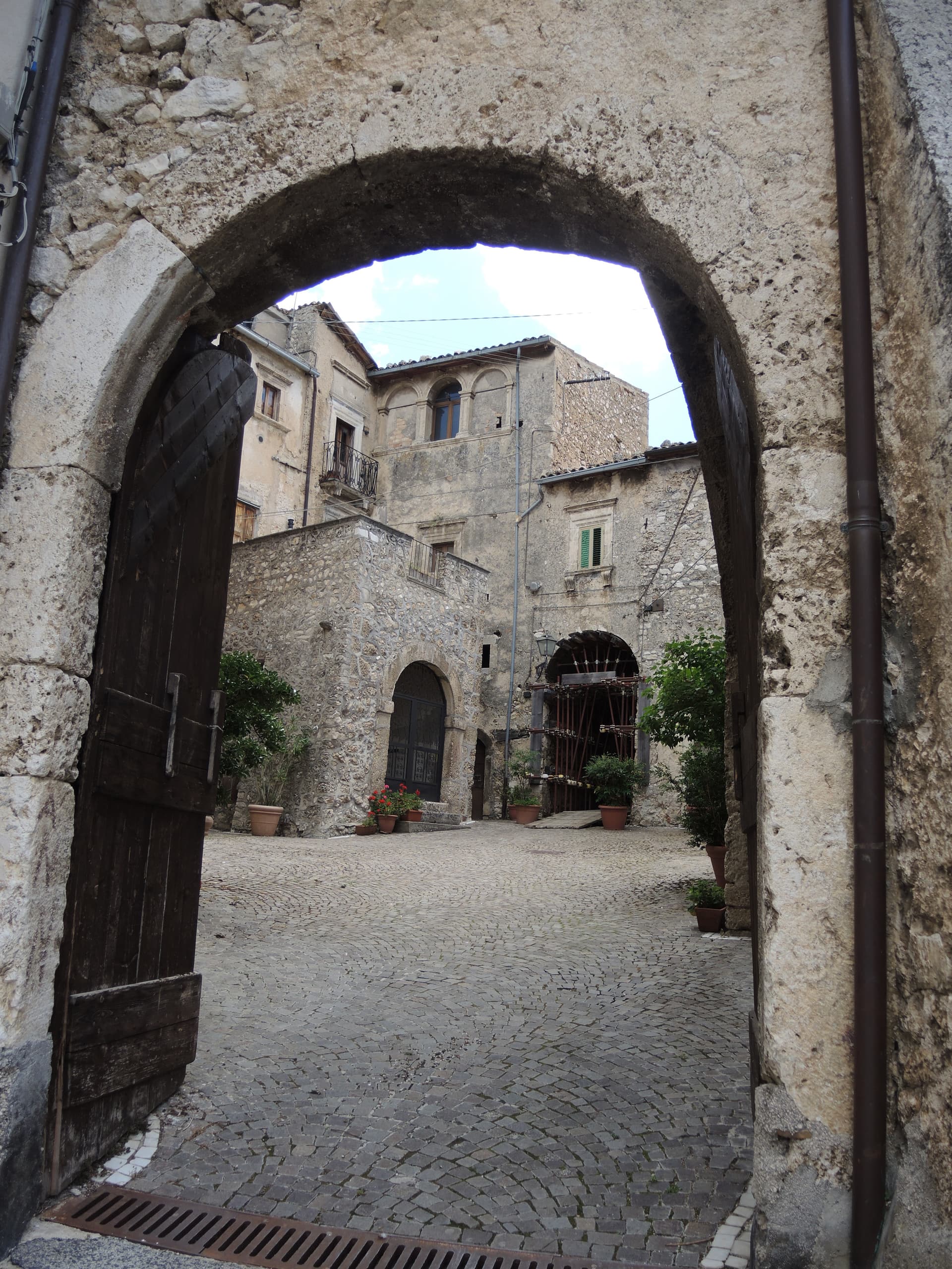
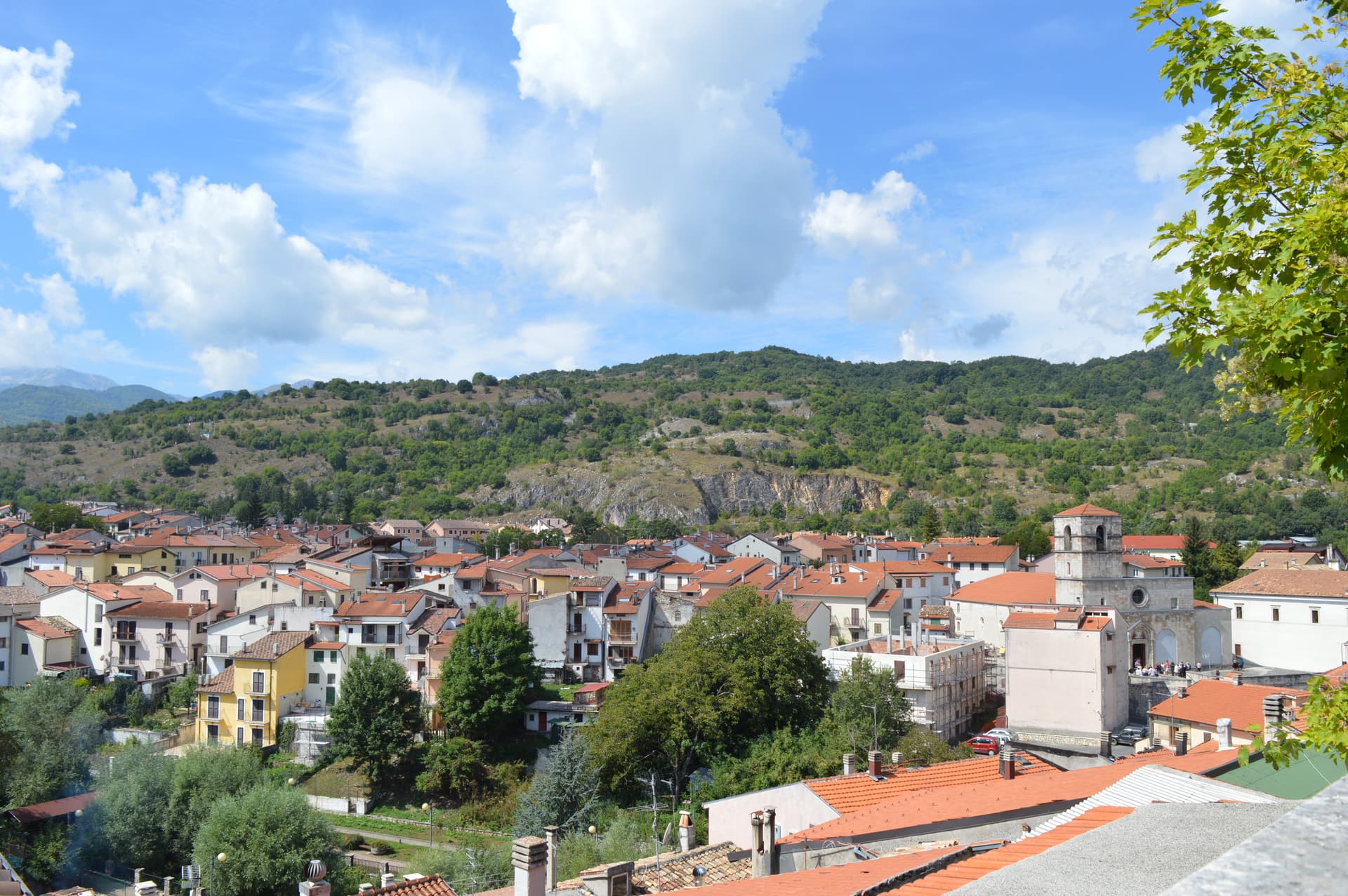
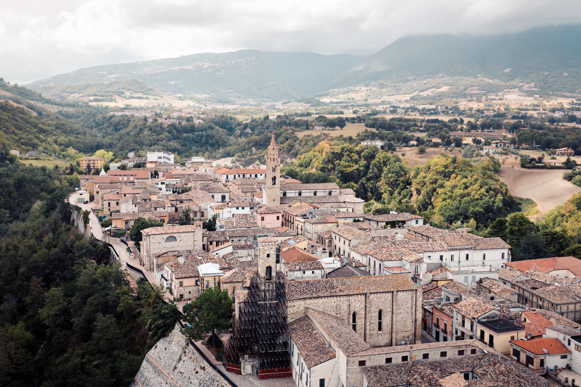
L'Aquila sits at 721 meters in a high plain between the Gran Sasso and the Velino-Sirente massifs, the regional capital of Abruzzo with 69,558 residents. Frederick II founded it around 1240 to curb local baronial power; the founding myth has people from 99 castles in the surrounding valley each building a piazza, a church and houses inside the new walls. The Fontana delle 99 Cannelle from 1272 marks the legend with 99 spouts along three walls.
The Romanesque-Gothic Basilica di Santa Maria di Collemaggio, built in 1287, hosted the coronation of Pietro del Morrone as Pope Celestine V on 29 August 1294. The Spanish viceroy Don Pedro de Toledo built the Forte Spagnolo in 1534, the bulk of which still anchors the upper town. On 6 April 2009 a magnitude-6.
3 earthquake killed 308 people and damaged most of the centro storico. The basilica reopened in 2017; reconstruction stood at 88 percent of projects by early 2025.
The Sunday letter
We haven’t written L'Aquila’s letter yet.
One town every Sunday, with the photo, the food, the festa. Be there when this one comes up. Free, by Peter & Sophia from Pietrasanta.
By subscribing you agree to Substack’s Terms of Use, our Privacy Policy and our Information collection notice.

What to see
Basilica di Santa Maria di Collemaggio
Romanesque-Gothic basilica from 1287, site of Pope Celestine V's coronation in 1294; reopened in 2017 after the 2009 earthquake.
Fontana delle 99 Cannelle
Civic fountain from 1272 with 99 spouts on three walls, the symbolic count of the castles whose people founded the city.
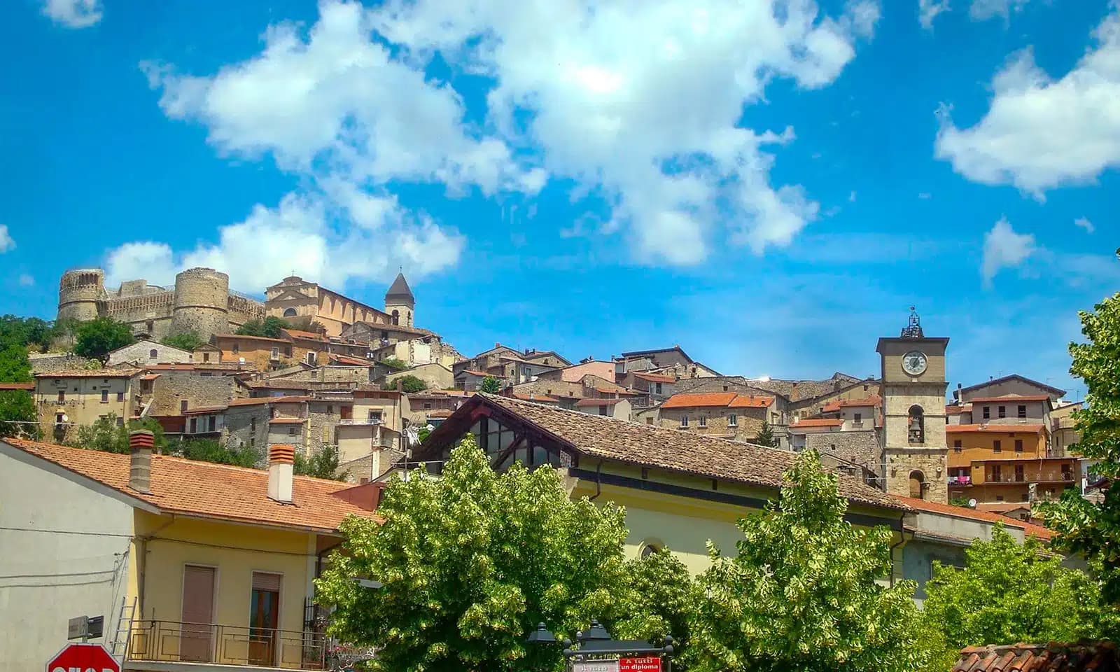
Forte Spagnolo (Castello Cinquecentesco)
Massive Spanish fortress raised in 1534 by viceroy Don Pedro de Toledo on the highest point of the upper town.
Basilica di San Bernardino
Fifteenth-century church holding the tomb of San Bernardino of Siena, with a Renaissance façade by Cola dell'Amatrice.
MAXXI L'Aquila (Palazzo Ardinghelli)
Branch of Rome's twenty-first-century art museum opened in the restored Ardinghelli palace after the 2009 reconstruction.
Piazza Duomo
Main civic square between the Duomo and Santa Maria del Suffragio, the daily market space and the heart of the post-earthquake reopening.
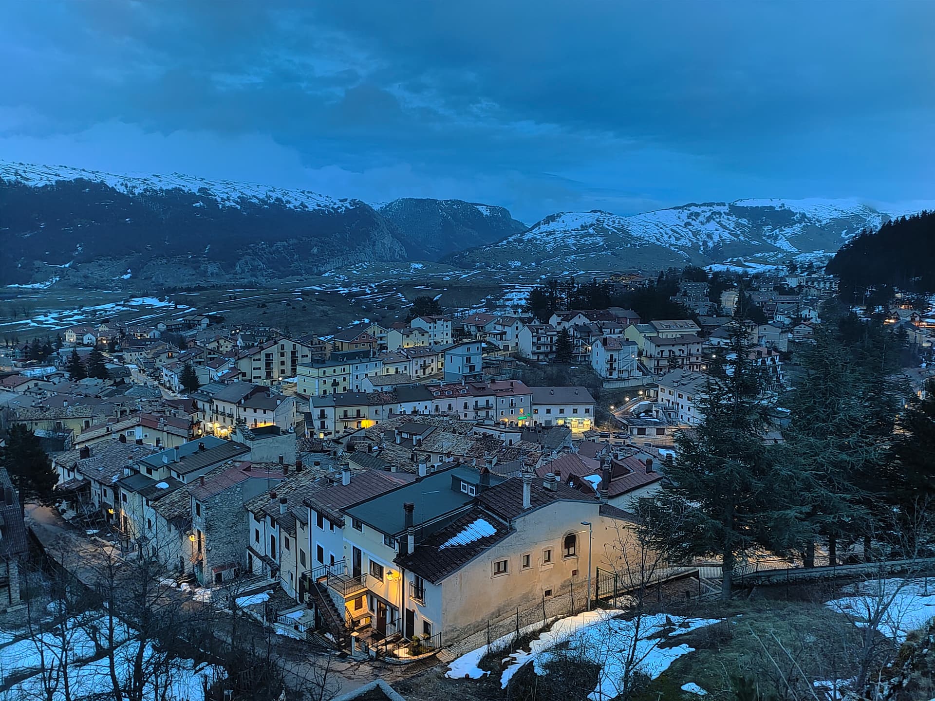
Gran Sasso d'Italia
Range north of the city rising to 2,912 meters at Corno Grande, the Apennine high peak that dominates every view from L'Aquila.
The slow-trip planner
Building a trip? Find where L'Aquila fits in a slow Italy circuit.
Answer five questions. We will shape a geographically coherent slow trip from the 1,000 Italian towns most travelers skip. Yours to save and share.
We recommend
Where to eat and stay
Not our picks, but places the guides put their name to — a Michelin star, a Gambero Rosso fork, a Slow Food snail, a Michelin Key for the hotels. Worth a table, a counter, or a night when you pass through.
Corso StrettoRistorante
Corso Stretto carries a Gambero Rosso listing.
Da LincostaTrattoria
Da Lincosta has two Gambero Rosso prawns to its name.
ElodiaRistorante
Elodia holds two Gambero Rosso forks (82/100).
Førma Contemporary RestaurantRistorante
Førma Contemporary Restaurant has two Gambero Rosso forks (82/100) to its name.
Le Fontanelle di Enoa'Trattoria
Le Fontanelle di Enoa' has two Gambero Rosso prawns to its name.
Lo Scalco dell'AquilaRistorante
One Gambero Rosso fork (77/100), at Lo Scalco dell'Aquila.
Osteria Alimentari da nonno AlbericoTrattoria
Osteria Alimentari da nonno Alberico carries one Gambero Rosso prawn.
RêverRistorante
A Gambero Rosso listing, at Rêver.
William Zonfa RistoranteRistorante
William Zonfa Ristorante has one Gambero Rosso fork (77/100) to its name.
YOICHIFusion
YOICHI carries two Gambero Rosso Mappamondi.
Living here
- Population 69,558
- A local hubi
- Pharmacy in town
- High school within a 30-minute drive
- Train station in the comune
- Nearest airport Rome, 2 h 10 min drive
- Regional capital L'Aquila, 13 min drive
Tags & datadesignations · numbers · sources
Recognised as
The numbers
- Elevation: 721 m
- Population: 69,558
- Surface area: 473.91 km²
These figures were compiled from public directories — ISTAT, OpenStreetMap, Wikidata — and from the official listings of the guides named on this page. Town details change; verify with official sources before you travel.
Close by
More towns near L'Aquila
Scurcola Marsicana
Province: L'Aquila
At 700 meters below Monte San Nicola on the Piani Palentini, the field where Charles of Anjou broke the Hohenstaufen in 1268.
Ovindoli
Province: L'Aquila
At 1,375 meters on the Altopiano delle Rocche, the closest serious ski station to Rome, working since 1959 on the slopes of Monte Magnola.
Navelli
Province: L'Aquila
At 760 meters above the Navelli plain, the pyramid of stone houses growing the saffron a 13th-century Dominican brought from Spain.
Castelvecchio Calvisio
Province: L'Aquila
118 people at 1,067 meters on a ridge above the Tirino, inside a fortified ellipse of stone walls with alleys orthogonal to its perimeter.
Tagliacozzo
Province: L'Aquila
A Marsica town at 740 meters below Monte Civita, where Charles of Anjou won the 1268 battle and the Orsini built the ducal palace.
🌲 Parco Nazionale
More Parco Nazionale towns in Abruzzo
Alfedena
Province: L'Aquila
At 914 meters at the head of the upper Sangro valley, the Samnite Aufidena, with a 15,000-tomb necropolis and a Roman conquest in 298 BC.

Barrea
Province: L'Aquila
A 1,066-meter spur above an artificial lake at the heart of the Abruzzo National Park, with a Samnite necropolis and an 11th-century di Sangro castle.

Calascio
Province: L'Aquila
At 1,200 meters under the highest castle in the Apennines, a village of 125 people that played the monk's refuge in Ladyhawke.
Campli
Province: Teramo
A 393-meter town under the Monti della Laga, held by the Farnese for two centuries, with a Scala Santa carrying papal indulgence.

Campo di Giove
Province: L'Aquila
At 1,064 meters under the southwestern Maiella, the highest village in the park, named for a Roman temple to Jupiter.