

Sicily · Palermo
Ustica
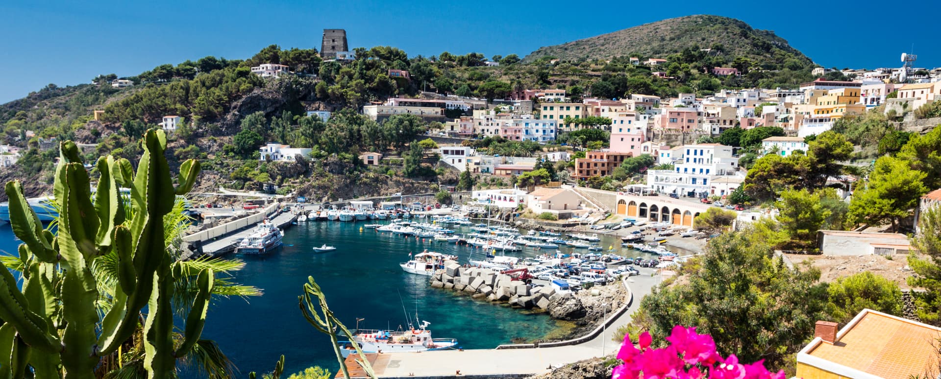
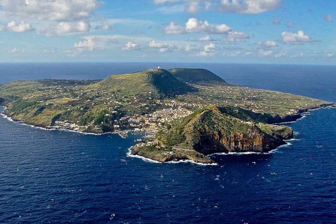
A volcanic island fifty-two kilometers north of Palermo with Italy's first marine protected area, lentil fields on lava, and a long memory as a prison.
Known for
DIVING
First marine protected area in Italy, 1986, with schools operating year-round on one of the Mediterranean's clearest reserves.
LENTILS
Ustica lentils grown on volcanic soil without pesticides, Slow Food Presidium alongside the local broad bean.
PRISON ISLAND
Place of political confinement under Bourbons, Savoy and Fascists; Mussolini held Gramsci and Bordiga among 1,500 internees.
When to visit
Best · May–Oct
- J
- F
- M
- A
- M
- J
- J
- A
- S
- O
- N
- D
- Best
- Hot or crowded
- Quiet
- Mostly closed
The festa: Bartolomeo, 24 August
Why come
Ustica is a small volcanic island in the Tyrrhenian, fifty-two kilometers north of Capo Gallo, 8. 65 square kilometers of basalt and tuff with two old volcanoes at Punta Maggiore and Guardia dei Turchi just below. The island was used as a place of confinement by the Bourbons, the Savoys, and finally the Fascists: Mussolini banished thousands of political opponents here, often 1,500 at a time, including Antonio Gramsci and Amadeo Bordiga, until the 1950s.
In November 1986, Italian fishermen pushed through the establishment of the first marine protected area in Italy, around 15,000 hectares of sea where diving schools now operate one of the Mediterranean's best-known reserves. The lentils and broad beans of Ustica, grown without pesticides on volcanic soil, are Slow Food Presidia. On 27 June 1980 Itavia Flight 870 was shot down nearby in the sea, the Ustica massacre, killing all 81 on board.
The Sunday letter
We haven’t written Ustica’s letter yet.
One town every Sunday, with the photo, the food, the festa. Be there when this one comes up. Free, by Peter & Sophia from Pietrasanta.
By subscribing you agree to Substack’s Terms of Use, our Privacy Policy and our Information collection notice.
What to see
Area Marina Protetta Ustica
Italy's first marine protected area, established November 1986 over roughly 15,000 hectares, world-known for diving and biodiversity.
Punta Maggiore
Highest point of the island at 244 meters, vestige of an ancient volcano; the main peak above the village.
Villaggio preistorico dei Faraglioni
Bronze Age fortified settlement on the cliffs, one of the best-preserved prehistoric villages in the western Mediterranean.
Grotte marine
Sea caves around the coast, accessed by boat, formed in the basalt and tuff of the old volcanic flows.
Riserva Naturale Isola di Ustica
Terrestrial nature reserve covering the volcanic interior, with lentil plots, fig trees and Mediterranean macchia.
The slow-trip planner
Building a trip? Find where Ustica fits in a slow Italy circuit.
Answer five questions. We will shape a geographically coherent slow trip from the 1,000 Italian towns most travelers skip. Yours to save and share.
Living here
- Population 1,311
- Very remotei
- Pharmacy in town
- High school within a 30-minute drive
- Regional capital Palermo, 3 h 20 min drive
Tags & datadesignations · numbers · sources
Recognised as
The numbers
- Elevation: 49 m
- Population: 1,311
- Surface area: 8.65 km²
On the map
These figures were compiled from public directories — ISTAT, OpenStreetMap, Wikidata — and from the official listings of the guides named on this page. Town details change; verify with official sources before you travel.
Close by
More towns near Ustica
San Vito Lo Capo
Province: Trapani
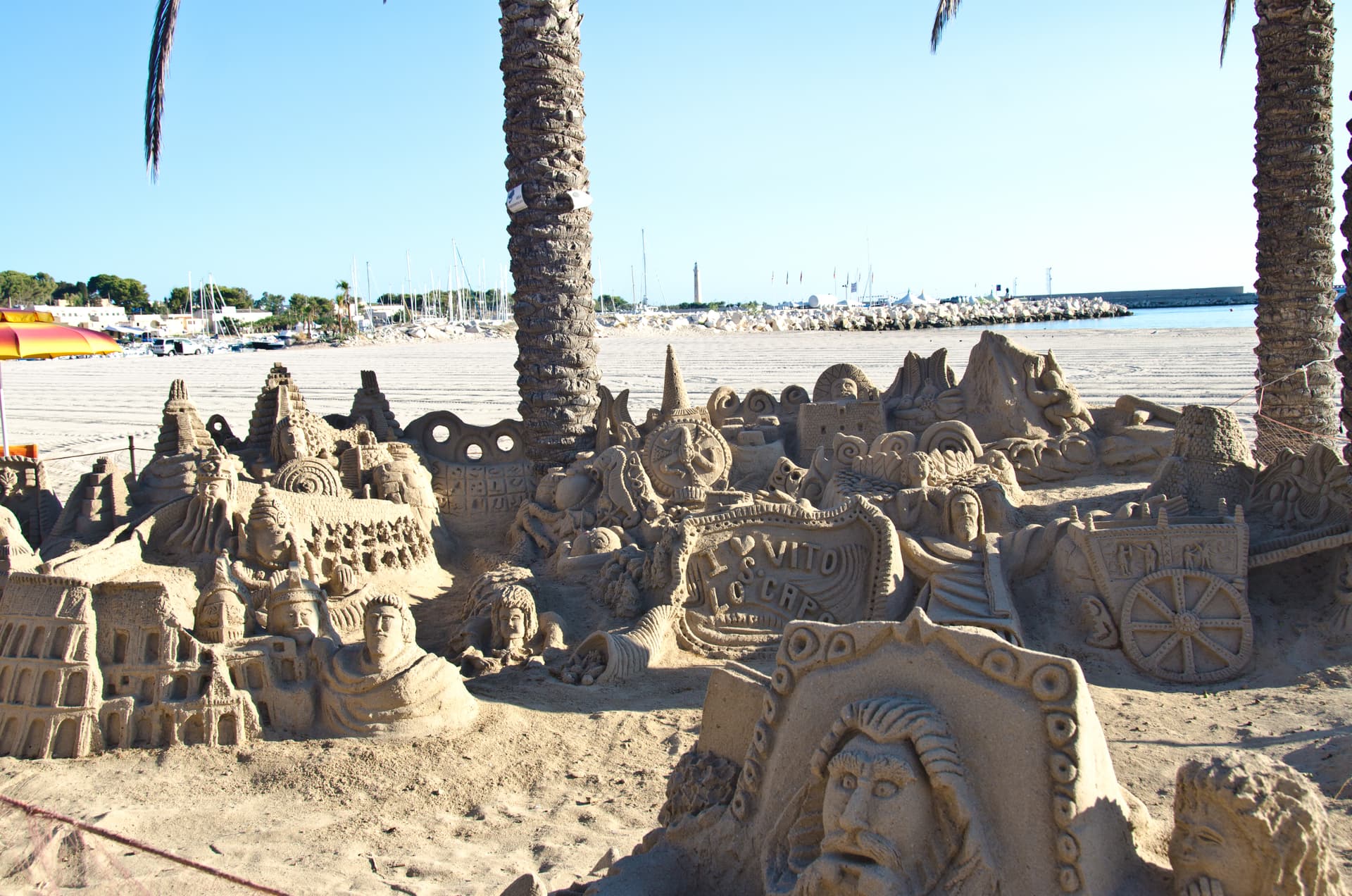
A three-kilometer white-sand beach under Monte Monaco at Sicily's northwest tip, the town that turned cous cous into a September festival.
Santa Cristina Gela
Province: Palermo
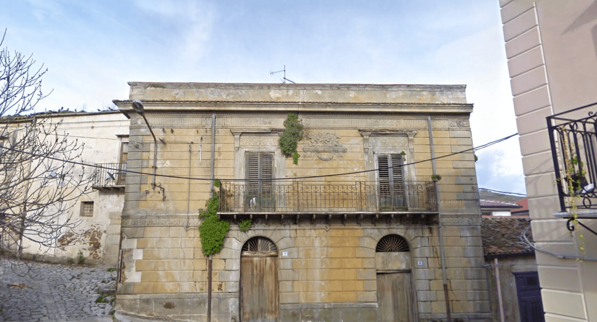
The smallest and youngest of Sicily's three Arbëreshë villages, founded in 1691 by 82 Albanian colonists from neighbouring Piana.
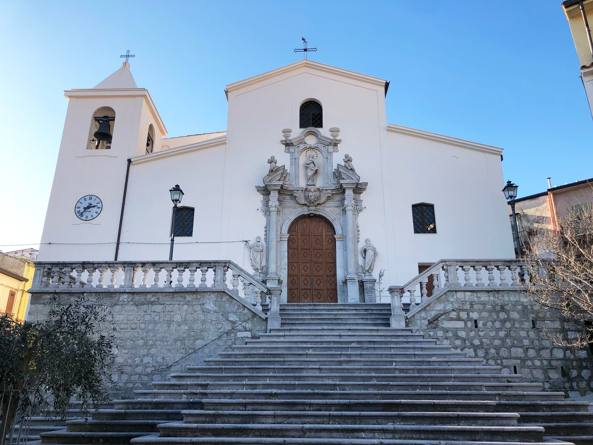
Piana degli Albanesi
Province: Palermo
The principal Arbëresh town of Sicily at 720 meters, founded in the fifteenth century by Albanians fleeing the Ottomans and still speaking arbëresh.
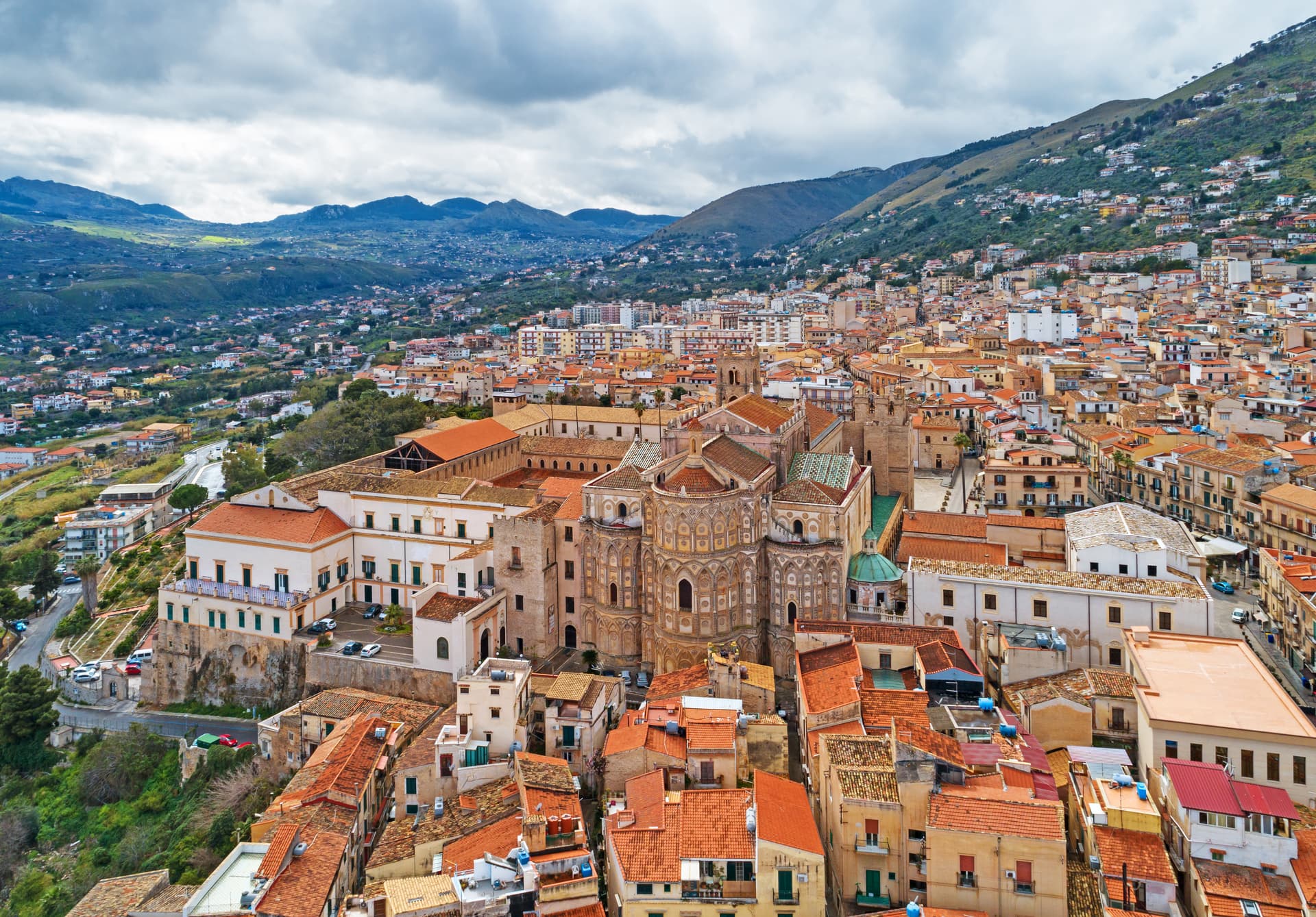
Monreale
Province: Palermo
Above the Conca d'Oro at 310 meters, the cathedral William II built between 1174 and 1182 holds 6,340 square meters of Norman mosaics.
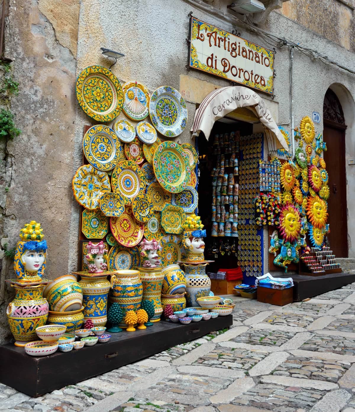
Erice
Province: Trapani
An Elymian mountaintop city at 751 meters above Trapani, with a Norman castle on the site of the temple of Venus Erycina and a Cold War physics centre.
🌿 Riserva Naturale
More Riserva Naturale towns in Sicily
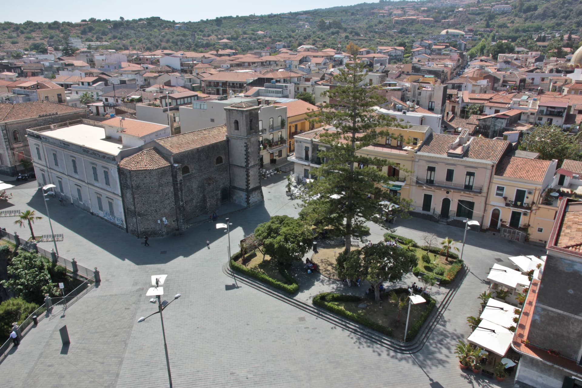
Aci Castello
Province: Catania
A coastal town just north of Catania on the Riviera dei Ciclopi, where the basalt headland holds the 1076 Norman Castello d'Aci and the seven volcanic Faraglioni dei Ciclopi rise from the sea — the rocks the Cyclops threw at Odysseus in Homer's Odyssey.
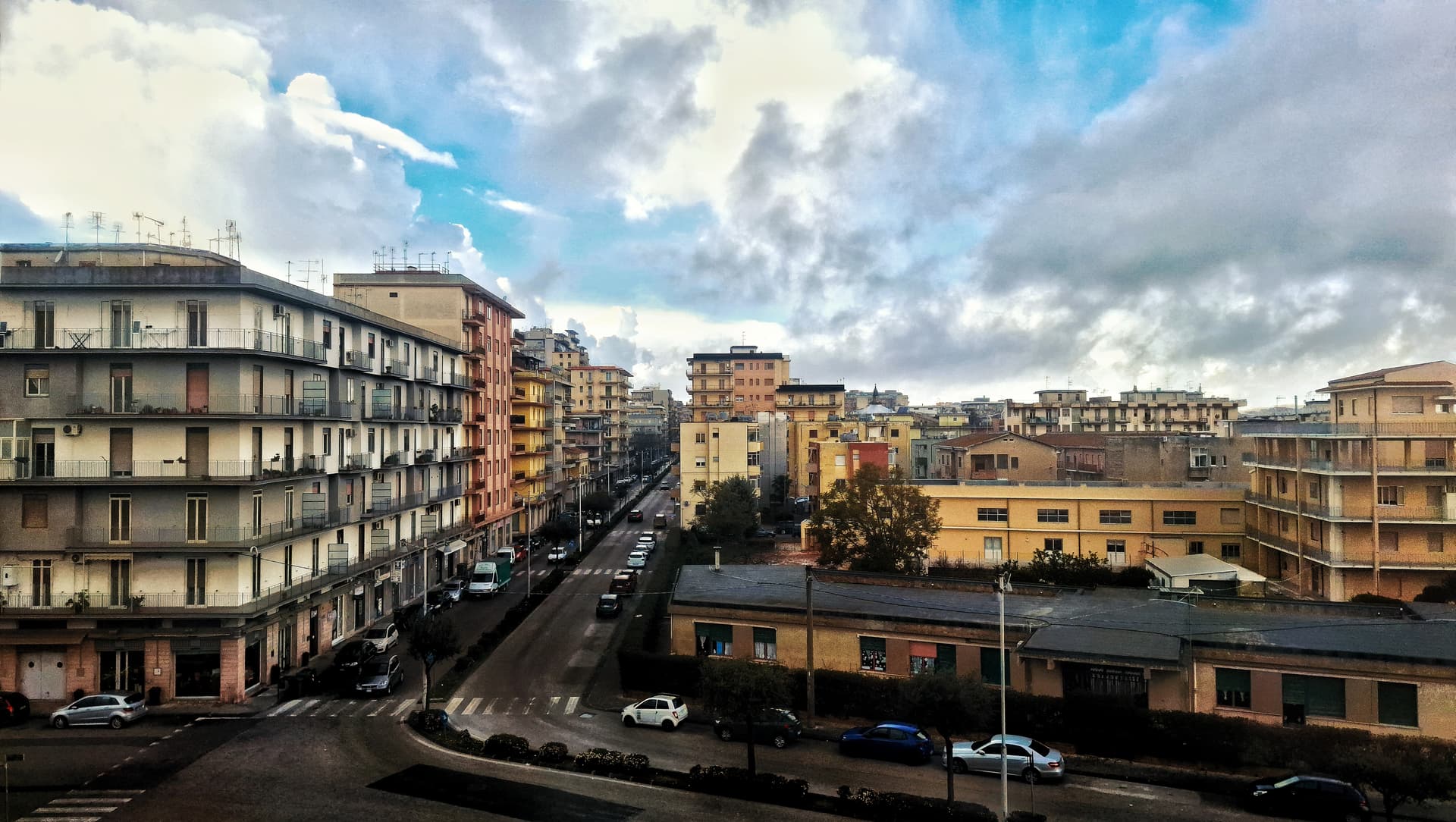
Caltagirone
Province: Catania
Sicily's ceramic capital at 611 meters on the Erei ridge, 142 majolica-tiled steps to Santa Maria del Monte and a Val di Noto UNESCO baroque rebuild.
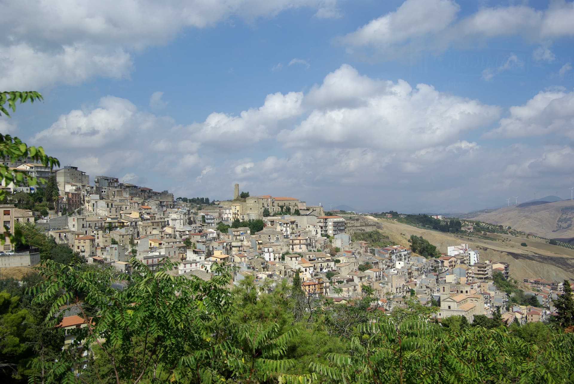
Cammarata
Province: Agrigento
A Sicani town at 700 meters on the northeast slope of Monte Cammarata, the 1,578-meter peak that gives the comune its name and shape.
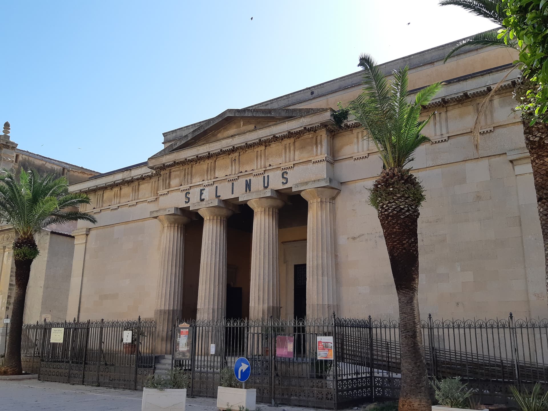
Castelvetrano
Province: Trapani
The Belice valley town that owns Selinunte, the largest archaeological park in Europe, and bakes black bread from grain found in its tombs.
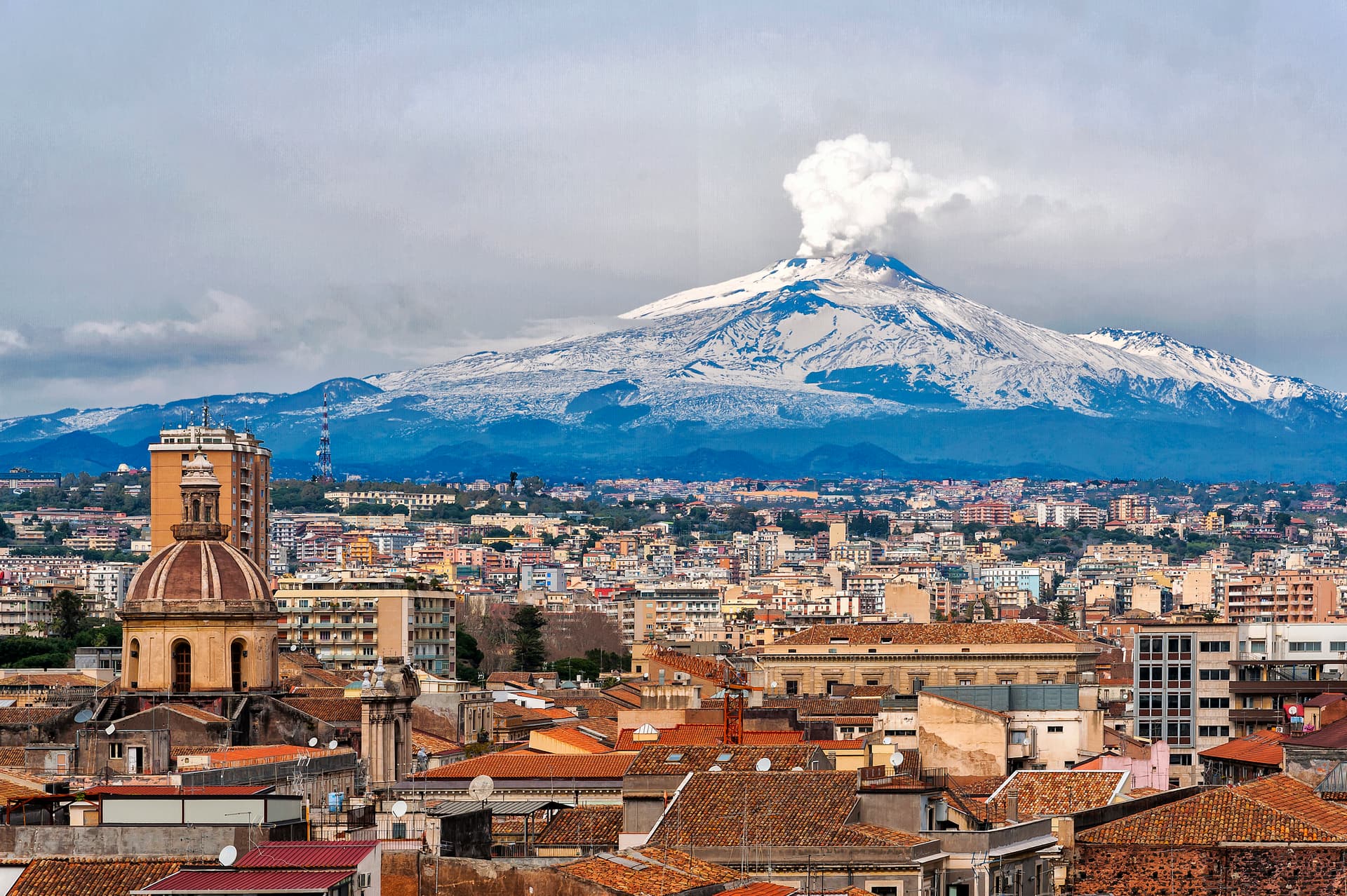
Catania
Province: Catania
Sicily's second city and the cultural anchor of the Ionian coast — a UNESCO late-Baroque centro storico rebuilt in lava-black stone after the 1693 earthquake, sitting at the foot of Etna with a 17th-century elephant fountain (U Liotru) as its civic symbol.