

Apulia · Taranto
Manduria
The Messapian capital thirty-five kilometers east of Taranto, ringed by three concentric stone walls and the home of Primitivo.
Known for
PRIMITIVO DI MANDURIA
DOC made from 100% Primitivo grapes, the variety Manduria gives its name to, grown on the surrounding clay-limestone plain.
MESSAPIAN WALLS
Three concentric drystone rings over fifteen hectares, the largest surviving pre-Roman fortification system in Salento.
FONTE PLINIANO
Underground karst lake named in Pliny the Elder's Naturalis Historia for the water level that never changes.
When to visit
Best · Apr–Oct
- J
- F
- M
- A
- M
- J
- J
- A
- S
- O
- N
- D
- Best
- Hot or crowded
- Quiet
- Mostly closed
The festa: papa Gregorio I, 4 September
Why come
Manduria sits at seventy-nine meters thirty-five kilometers east of Taranto, on the inland edge of the northern Salento. The town was a Messapian stronghold against Greek Taras; Archidamus III, king of Sparta, was killed under its walls in 338 BC. The Archaeological Park preserves three concentric rings of city walls in drystone, the oldest from the fifth century BC, the middle from the fourth and an outer ring from the third century AD, more than fifteen hectares of fortification still standing.
Inside the perimeter, the Fonte Pliniano is a karst cave eighteen meters across, named after Pliny the Elder, who described its constant water level in the Naturalis Historia. The town gives its name to Primitivo di Manduria DOC, made from 100% Primitivo grapes on the surrounding clay-limestone plain. The Museum of Primitivo and the late-summer Vinitaly cellar tours bring most of the modern visitors. The coast at San Pietro in Bevagna, fifteen kilometers south, holds the commune's Bandiera Blu beach.
The Sunday letter
We haven’t written Manduria’s letter yet.
One town every Sunday, with the photo, the food, the festa. Be there when this one comes up. Free, by Peter & Sophia from Pietrasanta.
By subscribing you agree to Substack’s Terms of Use, our Privacy Policy and our Information collection notice.
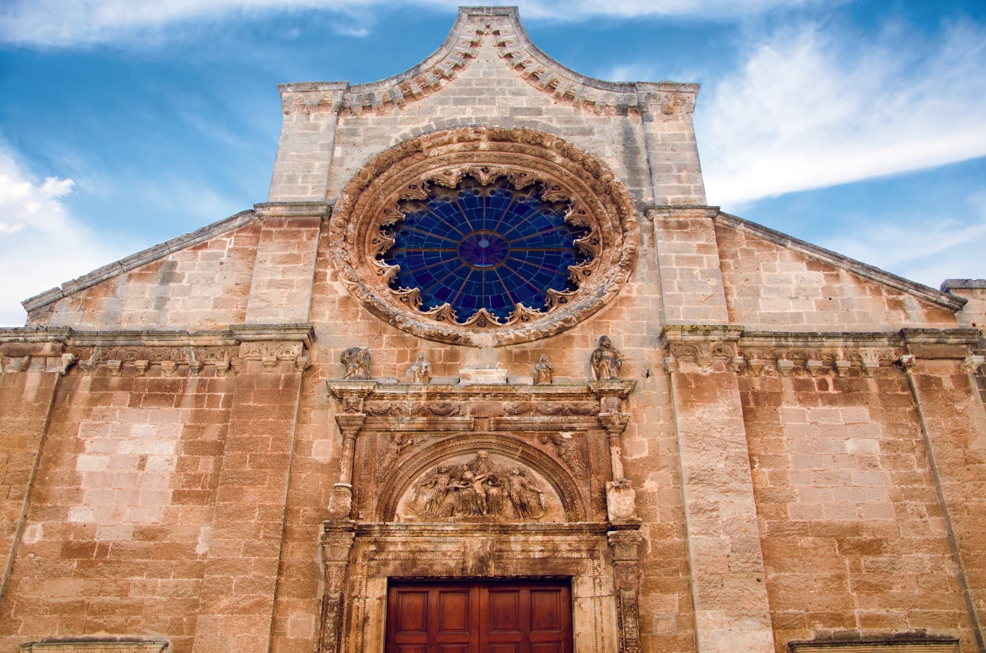
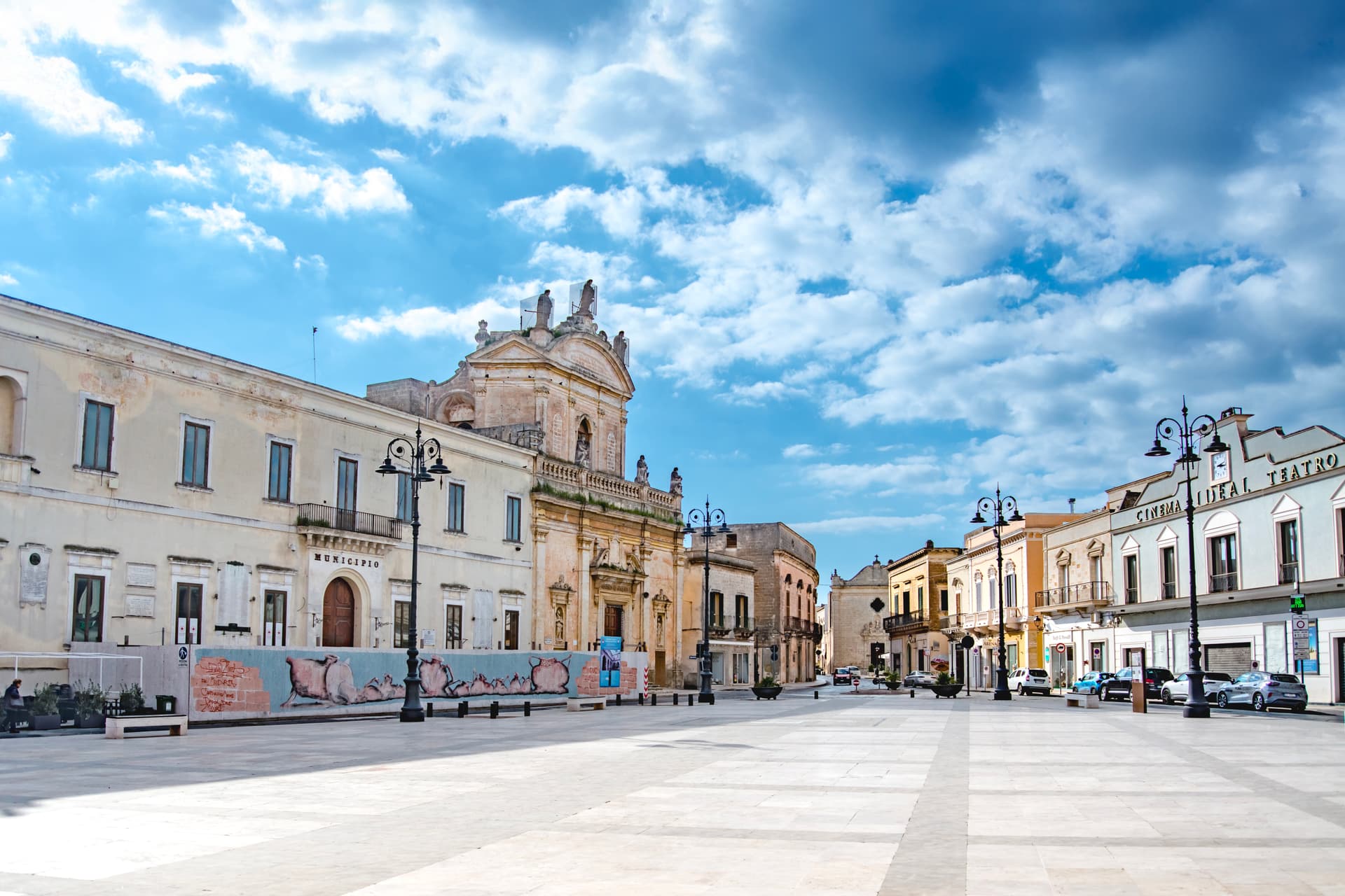
What to see
Parco Archeologico delle Mura Messapiche
Fifteen hectares of three concentric Messapian walls from the fifth to third century BC, the largest pre-Roman fortification in Salento.
Fonte Pliniano
Karst cave eighteen meters across, described by Pliny the Elder for its water level that does not rise or fall.
Borgo Antico
Medieval centro storico inside the inner Messapian wall, with the former Jewish quarter and the Palazzo Imperiali.
Museo della Civiltà del Vino Primitivo
Wine museum in the historic cellars of the Produttori Vini cooperative, dedicated to the Primitivo grape and its production.
San Pietro in Bevagna
Coastal frazione fifteen kilometers south, with the commune's Bandiera Blu beach on the Ionian coast.
The slow-trip planner
Building a trip? Find where Manduria fits in a slow Italy circuit.
Answer five questions. We will shape a geographically coherent slow trip from the 1,000 Italian towns most travelers skip. Yours to save and share.
We recommend
Where to eat and stay
Not our picks, but places the guides put their name to — a Michelin star, a Gambero Rosso fork, a Slow Food snail, a Michelin Key for the hotels. Worth a table, a counter, or a night when you pass through.
CasamattaRistorante
Casamatta holds one Michelin star and two Gambero Rosso forks (82/100).
ES Cantina&RistoranteRistorante
ES Cantina&Ristorante holds two Gambero Rosso forks (80/100) and a spot in the Michelin Guide.
Gusto Primitivo del Corte Borromeo HotelRistorante
Gusto Primitivo del Corte Borromeo Hotel carries one Gambero Rosso fork (78/100).
Masseria del SaleRistorante
Masseria del Sale has a Gambero Rosso listing to its name.
Living here
- Population 29,933
- Off the beaten pathi
- Pharmacy in town
- High school within a 30-minute drive
- Train station in the comune
- Nearest airport Bari / Brindisi, 2 h 6 min drive
- Regional capital Bari, 2 h 0 min drive
Tags & datadesignations · numbers · sources
Recognised as
The numbers
- Elevation: 79 m
- Population: 29,933
- Surface area: 198 km²
These figures were compiled from public directories — ISTAT, OpenStreetMap, Wikidata — and from the official listings of the guides named on this page. Town details change; verify with official sources before you travel.
Close by
More towns near Manduria
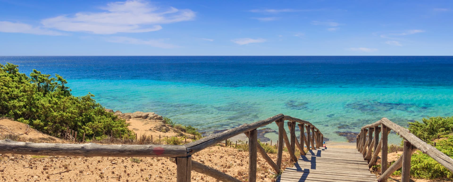
Maruggio
Province: Taranto
Salento's Knights of Malta borgo — a fortified Borgo più Bello on a low Ionian hill with 11 km of Bandiera Blu coast at Campomarino, Negroamaro and Primitivo vines pressing into the centro, and a unique commanderie history that made it the Order's southern Italian headquarters for 600 years.
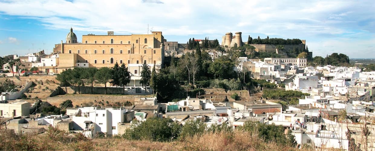
Oria
Province: Brindisi
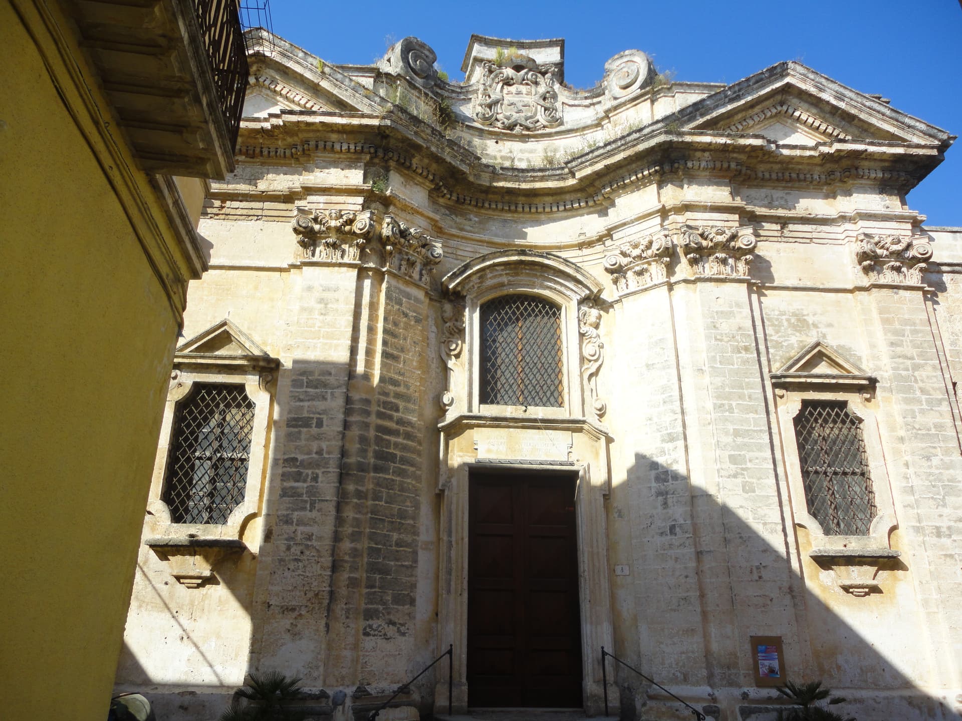
A Messapian acropolis between Taranto and Brindisi crowned by Frederick II's triangular castle, home to one of medieval Europe's oldest Jewish communities.
Nardò
Province: Lecce
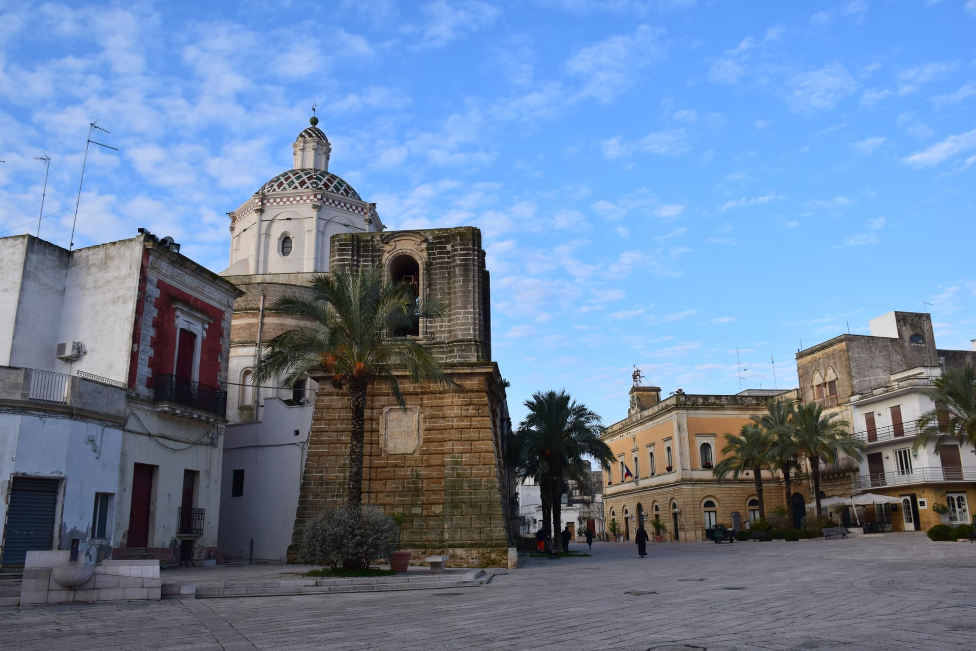
The second city of Salento after Lecce, a Baroque inland capital twenty-five kilometers from Lecce with a Ionian coastline behind it.
Campi Salentina
Province: Lecce
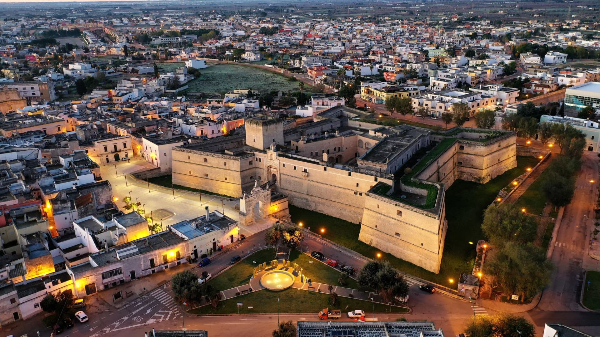
A Salento plain town fifteen kilometers north of Lecce, founded after the Saracen raids of 926, with a Frederician castle that became a Paladini-Enriquez marquisate.
Copertino
Province: Lecce
A Salento town fifteen kilometers west of Lecce, with one of Puglia's largest Renaissance fortresses and the birthplace of Saint Joseph of Copertino.
🟦 Bandiera Blu
More Bandiera Blu towns in Apulia
Bisceglie
Province: Barletta-Andria-Trani
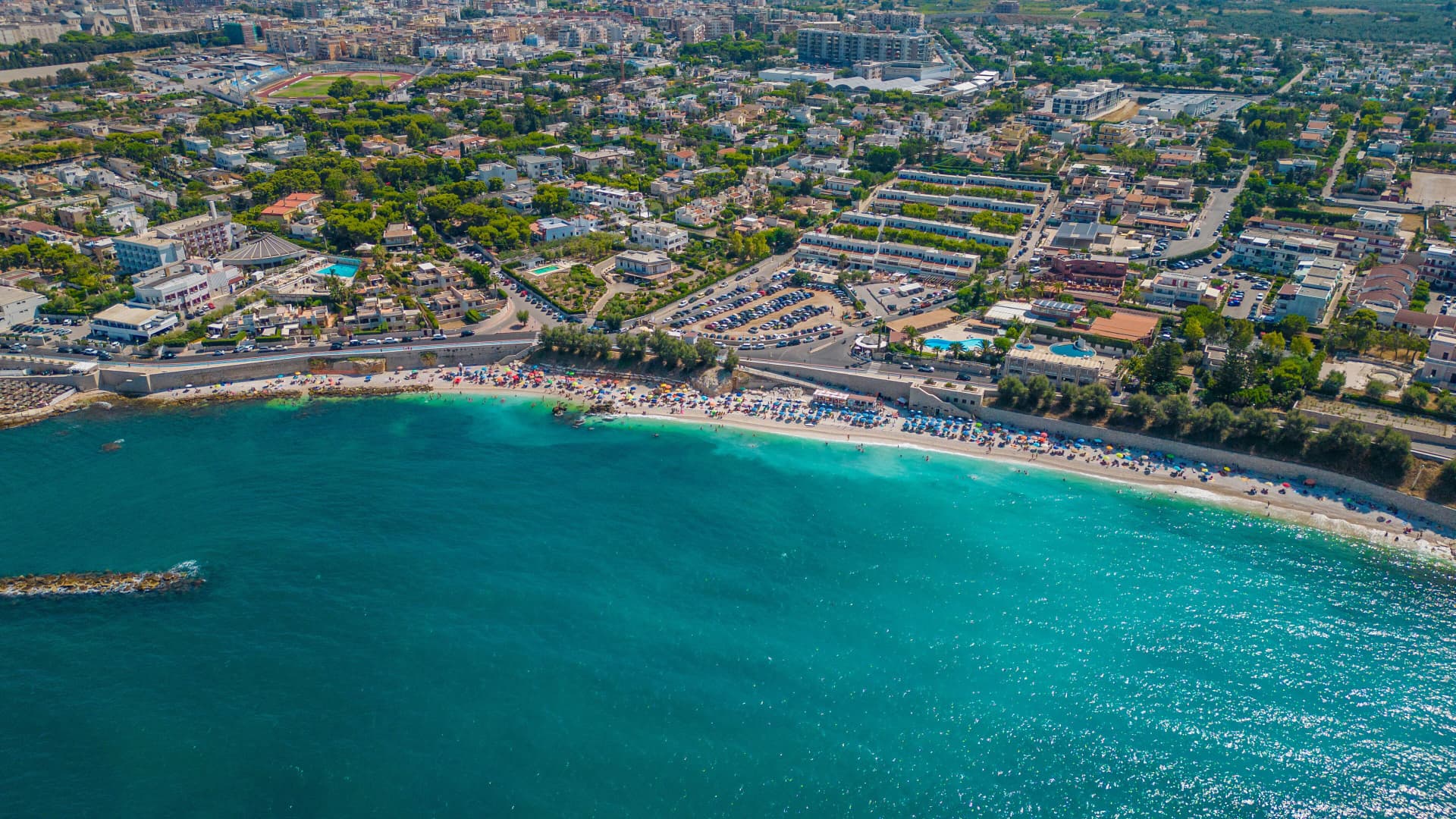
An Adriatic port town between Trani and Molfetta, named for Roman watchtowers, with five dolmens around it and a Norman cathedral begun in 1073.
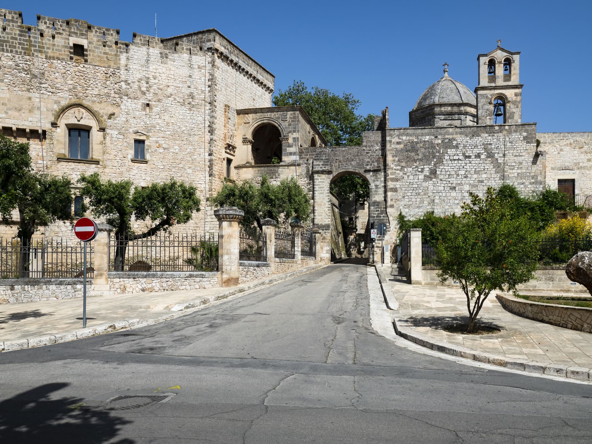
Carovigno
Province: Brindisi
An upper Salento town between Brindisi and Ostuni, built on the Messapian Carbina destroyed in 473 BC, with the Torre Guaceto marine reserve offshore.
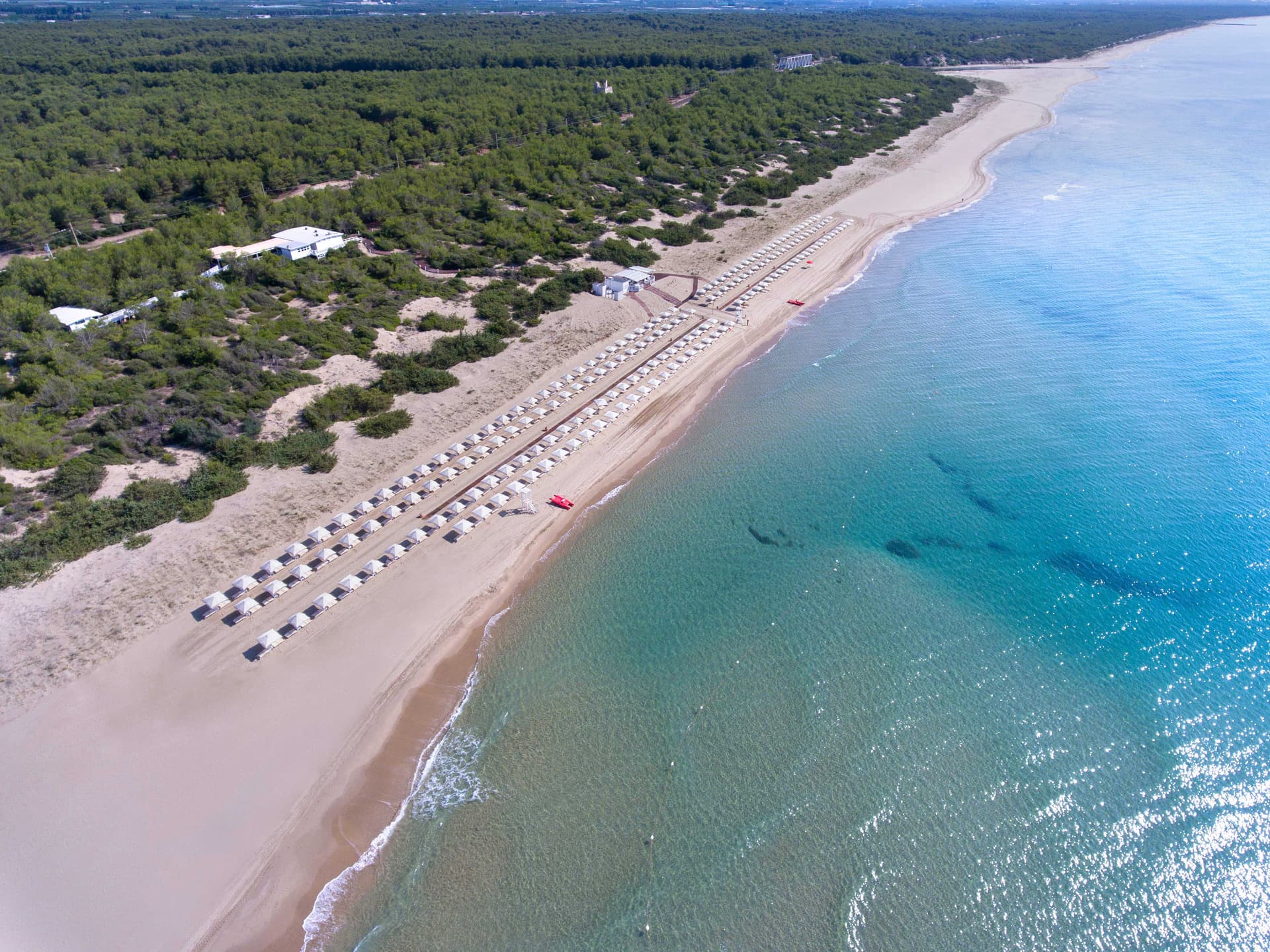
Castellaneta
Province: Taranto
A cliff-edge Murge town at 235 meters above the Gravina Grande canyon, birthplace of Rudolph Valentino in 1895, with a Bandiera Blu Ionian marina.
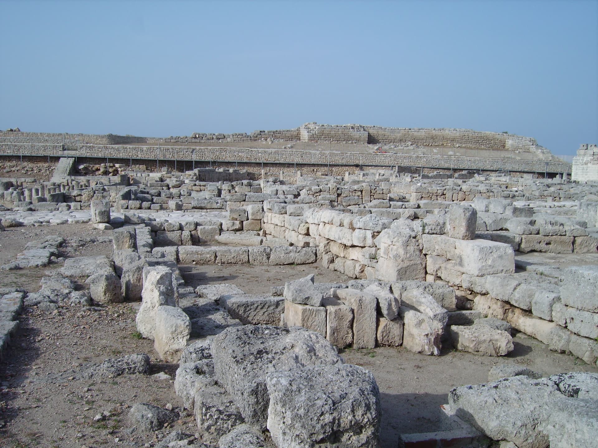
Fasano
Province: Brindisi
A Brindisi-province town from the Adriatic up to the Itria escarpment, holding the Roman ruins of Egnazia, the Selva, and Europe's second-largest safari park.
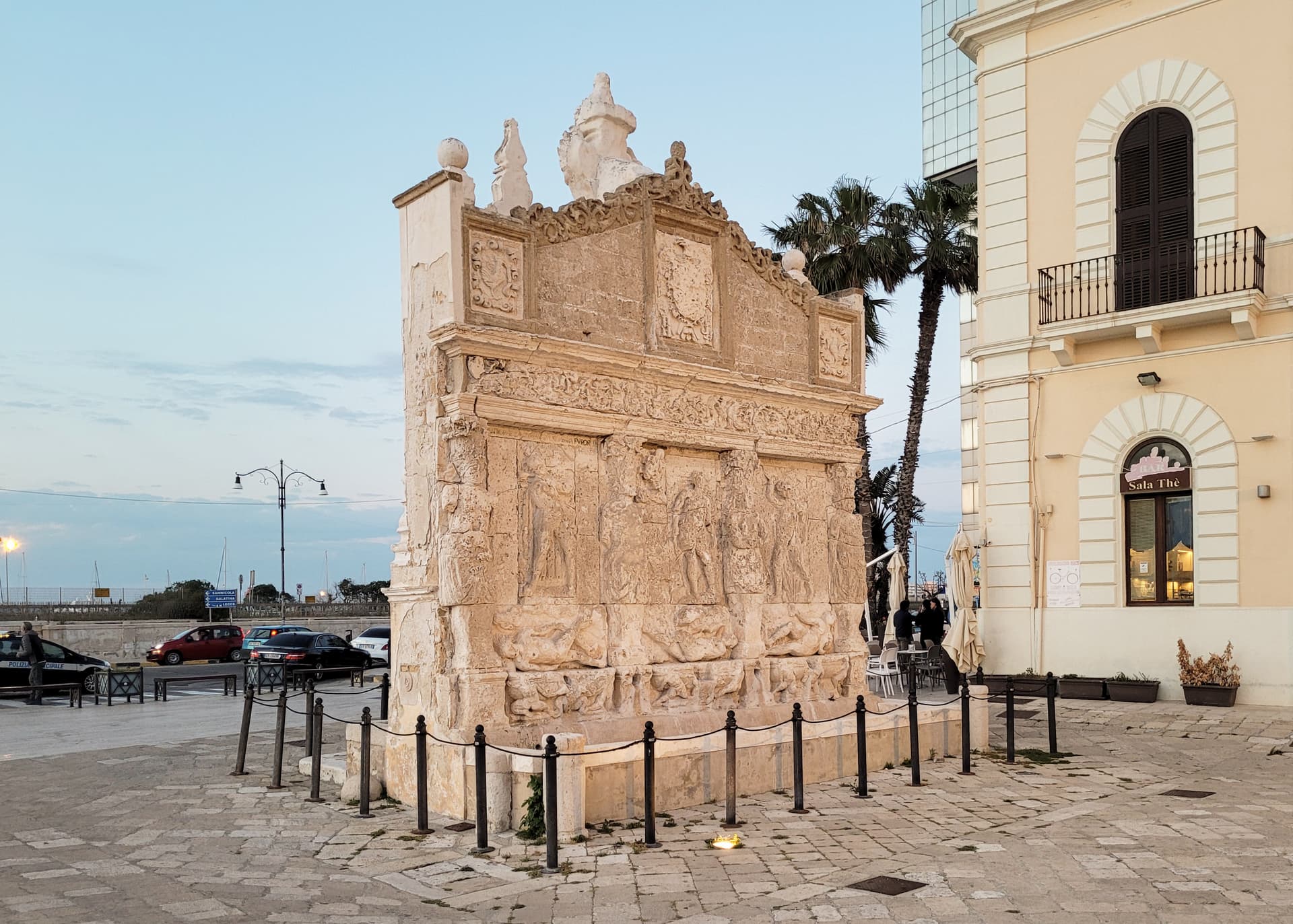
Gallipoli
Province: Lecce
The Ionian beach city on a limestone island, Greek Kallipolis meaning beautiful city, tied to the mainland by a seventeenth-century bridge.