
Apulia · Brindisi
Oria
A Messapian acropolis between Taranto and Brindisi crowned by Frederick II's triangular castle, home to one of medieval Europe's oldest Jewish communities.
Known for
TRIANGULAR CASTLE
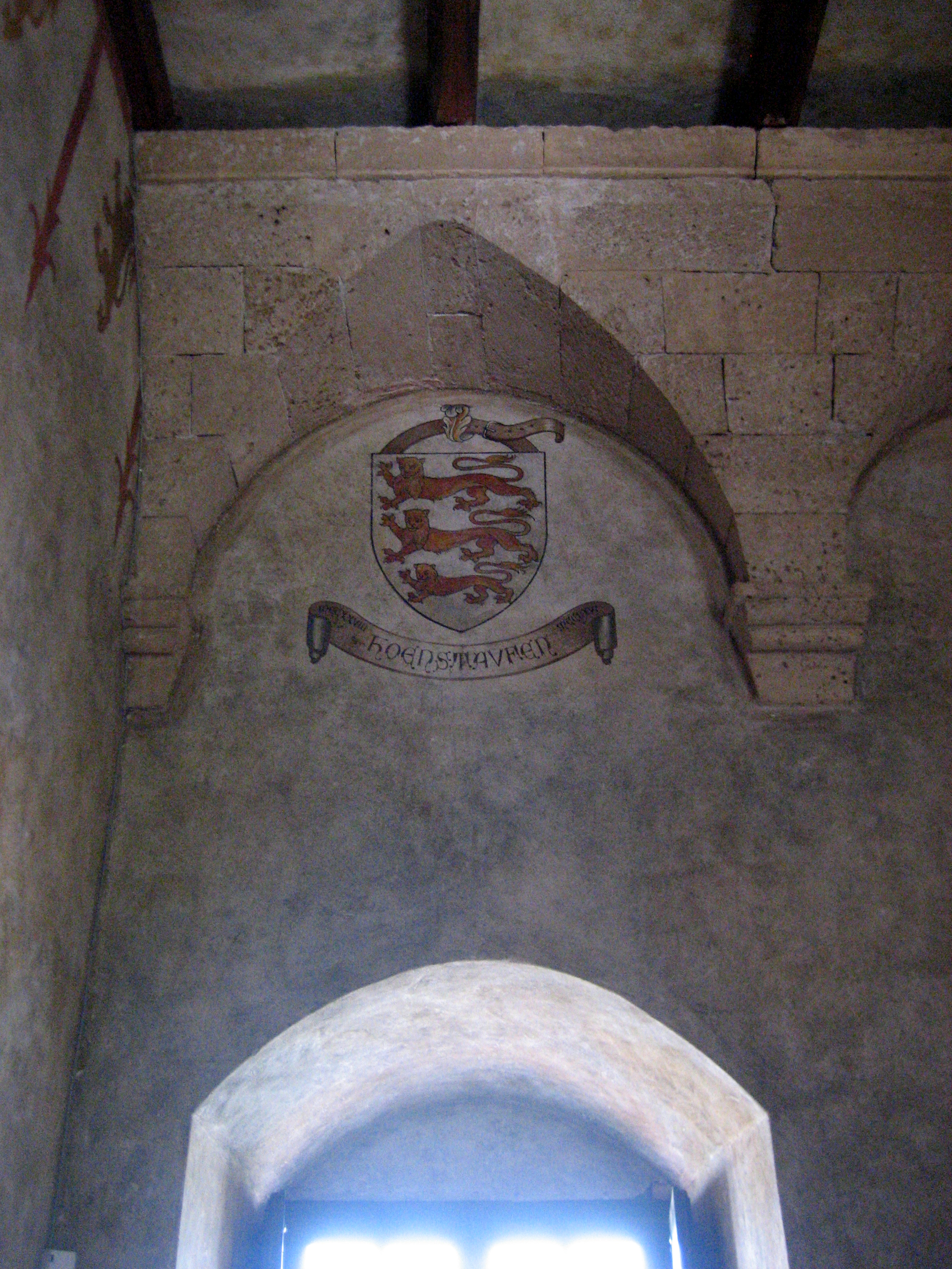
Frederick II's 1227-1233 castle on the Messapian acropolis, triangular plan unique in southern Italian military architecture.
JEWISH ORIA
Medieval Jewish study center from the ninth century, home to Shefatya ben Amitai and Shabbethai Donnolo, two of the earliest European Hebrew writers.
FEDERICIAN PAGEANT
Corteo Storico di Federico II, August medieval festival held since 1967, four-rione knight tournaments around the castle.
When to visit
Best · Apr–Oct
- J
- F
- M
- A
- M
- J
- J
- A
- S
- O
- N
- D
- Best
- Hot or crowded
- Quiet
- Mostly closed
The festa: San Barsanofio, 30 August
Why come
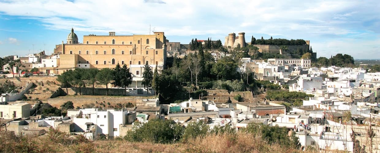
Oria sits on a Salento ridge between Taranto and Brindisi, north of Manduria and southeast of the ancient Taras. The town was Hyria, one of the principal Messapian cities, before the Romans absorbed the region. Frederick II rebuilt the castle on the Messapian acropolis between 1227 and 1233; the triangular plan he chose is unique in southern Italian military architecture, with three towers, the Quadrata (Frederician), the Del Cavaliere and the Del Salto (both Angevin additions).
Oria also held one of the oldest Jewish communities in Europe, a study center where philosophy, the Talmud, Greek, Latin, medicine and natural science were taught from the ninth century. Shefatya ben Amitai and Shabbethai Donnolo, two of the first Hebrew writers native to Europe, both lived and worked here. The Jewish quarter, the Giudecca, still organizes the southern edge of the centro storico.
The Sunday letter
We haven’t written Oria’s letter yet.
One town every Sunday, with the photo, the food, the festa. Be there when this one comes up. Free, by Peter & Sophia from Pietrasanta.
By subscribing you agree to Substack’s Terms of Use, our Privacy Policy and our Information collection notice.
What to see
Castello Svevo di Federico II
Frederician castle of 1227-1233 on the Messapian acropolis, triangular plan with three towers, one Frederician and two Angevin, the town's defining monument.
Cattedrale di Oria
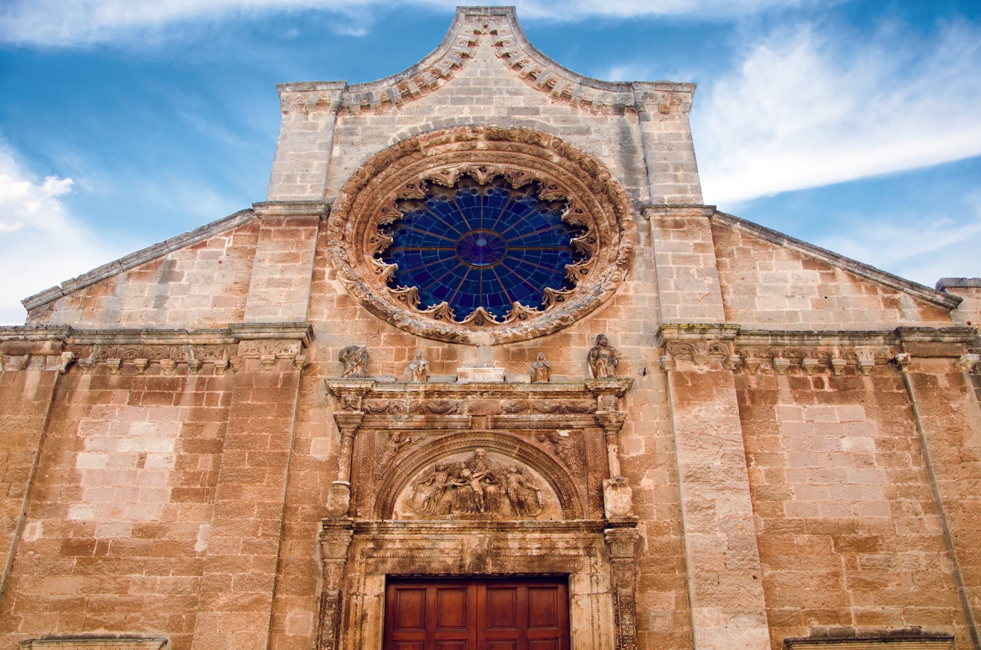
Eighteenth-century Baroque cathedral raised over earlier medieval foundations, the seat of the diocese of Oria since the Lombard era.
Giudecca
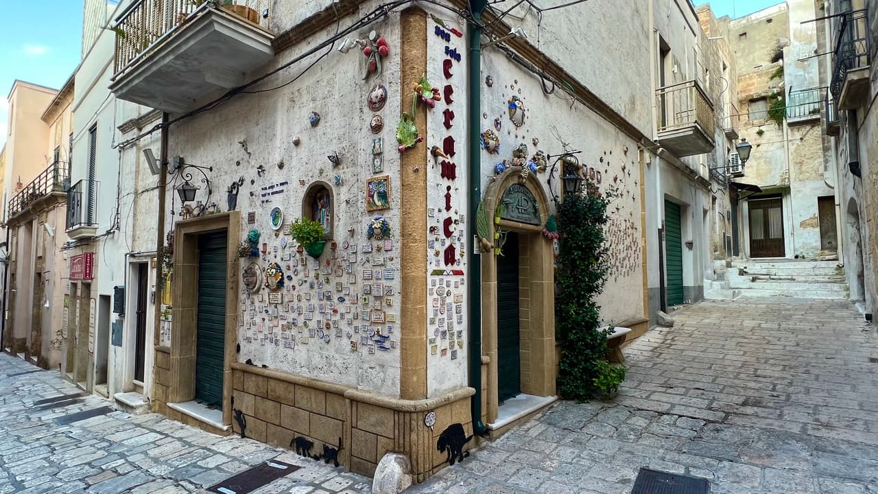
Old Jewish quarter on the southern flank of the centro storico, organized around the Vico degli Ebrei, a continuous medieval settlement from the ninth century.
Centro storico
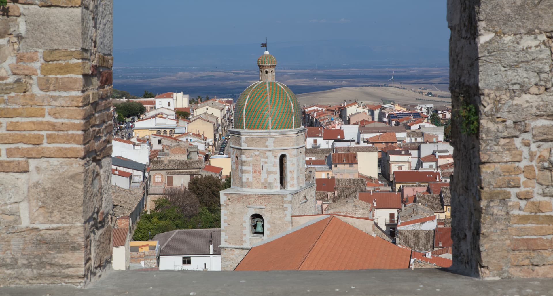
Hilltop old town on the Messapian acropolis, narrow lanes and white walls climbing to the castle, with the Giudecca and the cathedral at its lower edges.
Corteo Storico di Federico II
Annual August festival of medieval pageantry around the Frederician castle, knights' tournaments and four-rione contests, held since 1967.
The slow-trip planner
Building a trip? Find where Oria fits in a slow Italy circuit.
Answer five questions. We will shape a geographically coherent slow trip from the 1,000 Italian towns most travelers skip. Yours to save and share.
We recommend
Where to eat and stay
Not our picks, but places the guides put their name to — a Michelin star, a Gambero Rosso fork, a Slow Food snail, a Michelin Key for the hotels. Worth a table, a counter, or a night when you pass through.
Fuori PortaRistorante
Fuori Porta has a Gambero Rosso listing to its name.
Masseria PalombaraRistorante
Two Gambero Rosso forks (80/100), at Masseria Palombara.
Osteria LuceTrattoria
Osteria Luce carries two Gambero Rosso prawns.
Masseria Palombara Relais & SPAHotel
A place in the Michelin hotel guide, at Masseria Palombara Relais & SPA.
Living here
- Population 14,507
- In-betweeni
- Pharmacy in town
- High school within a 30-minute drive
- Train station in the comune
- Nearest airport Bari / Brindisi, 1 h 56 min drive
- Regional capital Bari, 1 h 49 min drive
Tags & datadesignations · numbers · sources
Recognised as
The numbers
- Elevation: 166 m
- Population: 14,507
- Surface area: 83.67 km²
These figures were compiled from public directories — ISTAT, OpenStreetMap, Wikidata — and from the official listings of the guides named on this page. Town details change; verify with official sources before you travel.
Close by
More towns near Oria
Manduria
Province: Taranto
The Messapian capital thirty-five kilometers east of Taranto, ringed by three concentric stone walls and the home of Primitivo.
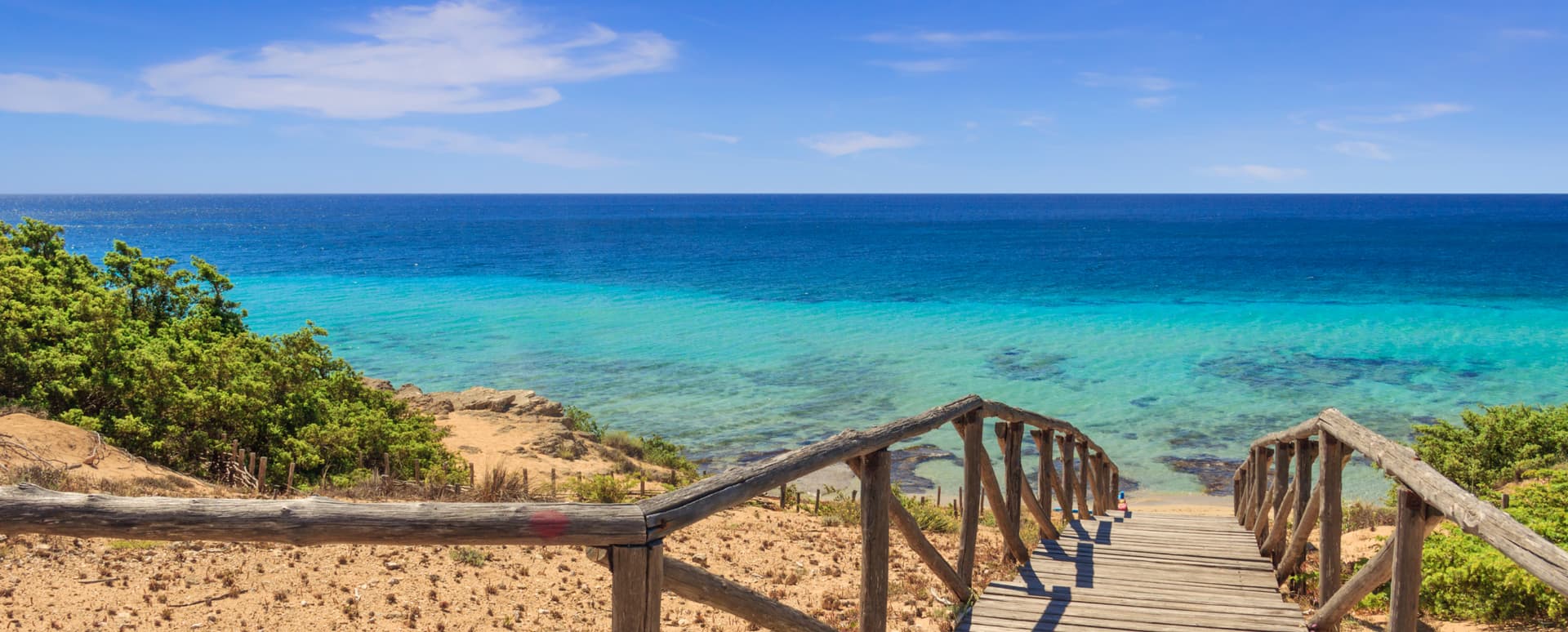
Maruggio
Province: Taranto
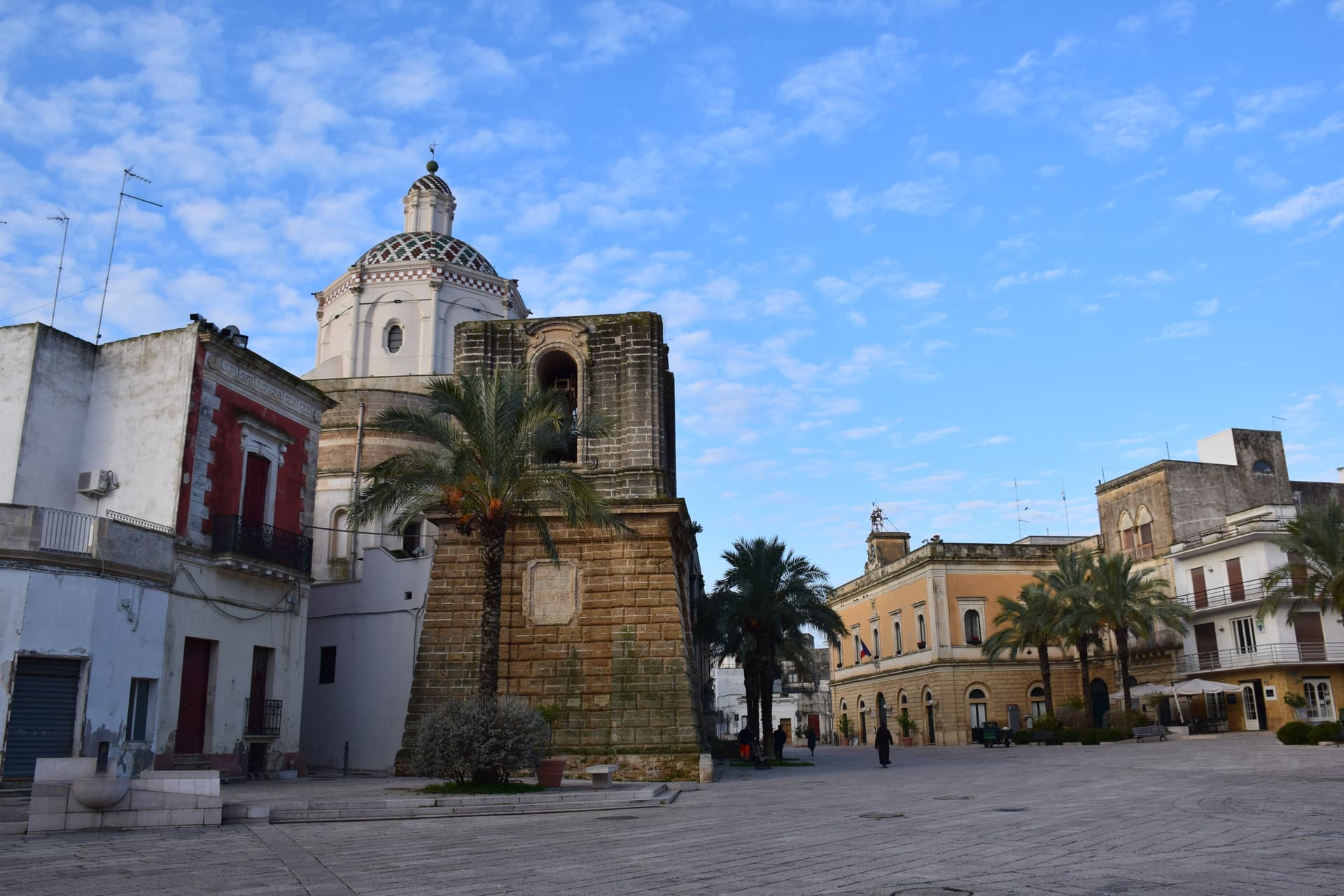
Salento's Knights of Malta borgo — a fortified Borgo più Bello on a low Ionian hill with 11 km of Bandiera Blu coast at Campomarino, Negroamaro and Primitivo vines pressing into the centro, and a unique commanderie history that made it the Order's southern Italian headquarters for 600 years.
Campi Salentina
Province: Lecce
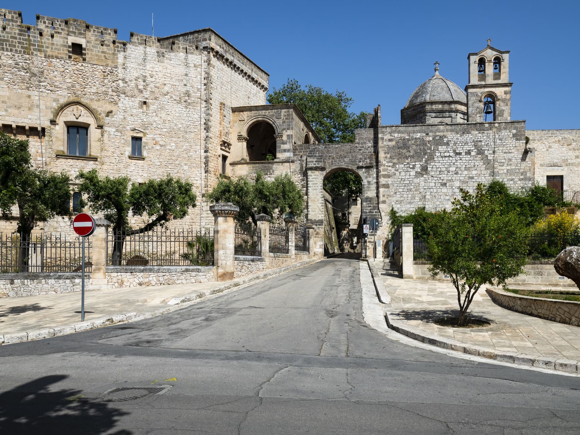
A Salento plain town fifteen kilometers north of Lecce, founded after the Saracen raids of 926, with a Frederician castle that became a Paladini-Enriquez marquisate.
Carovigno
Province: Brindisi
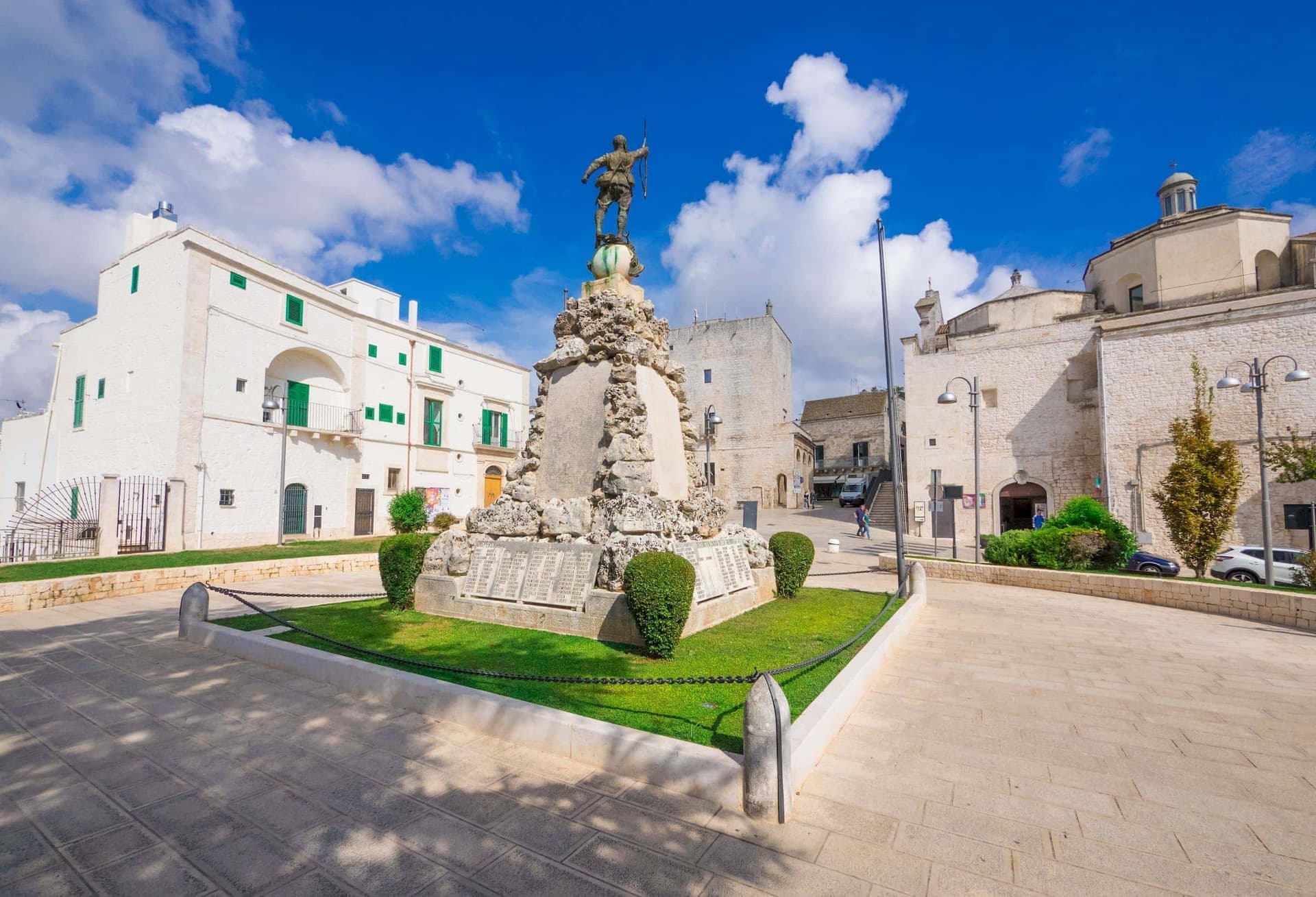
An upper Salento town between Brindisi and Ostuni, built on the Messapian Carbina destroyed in 473 BC, with the Torre Guaceto marine reserve offshore.
Cisternino
Province: Brindisi
An Itria valley borgo on the southern Murgia at 394 meters, whitewashed, Cittaslow since 2003 and Cittaslow City of the Year in 2014.
🟠 Bandiera Arancione
More Bandiera Arancione towns in Apulia
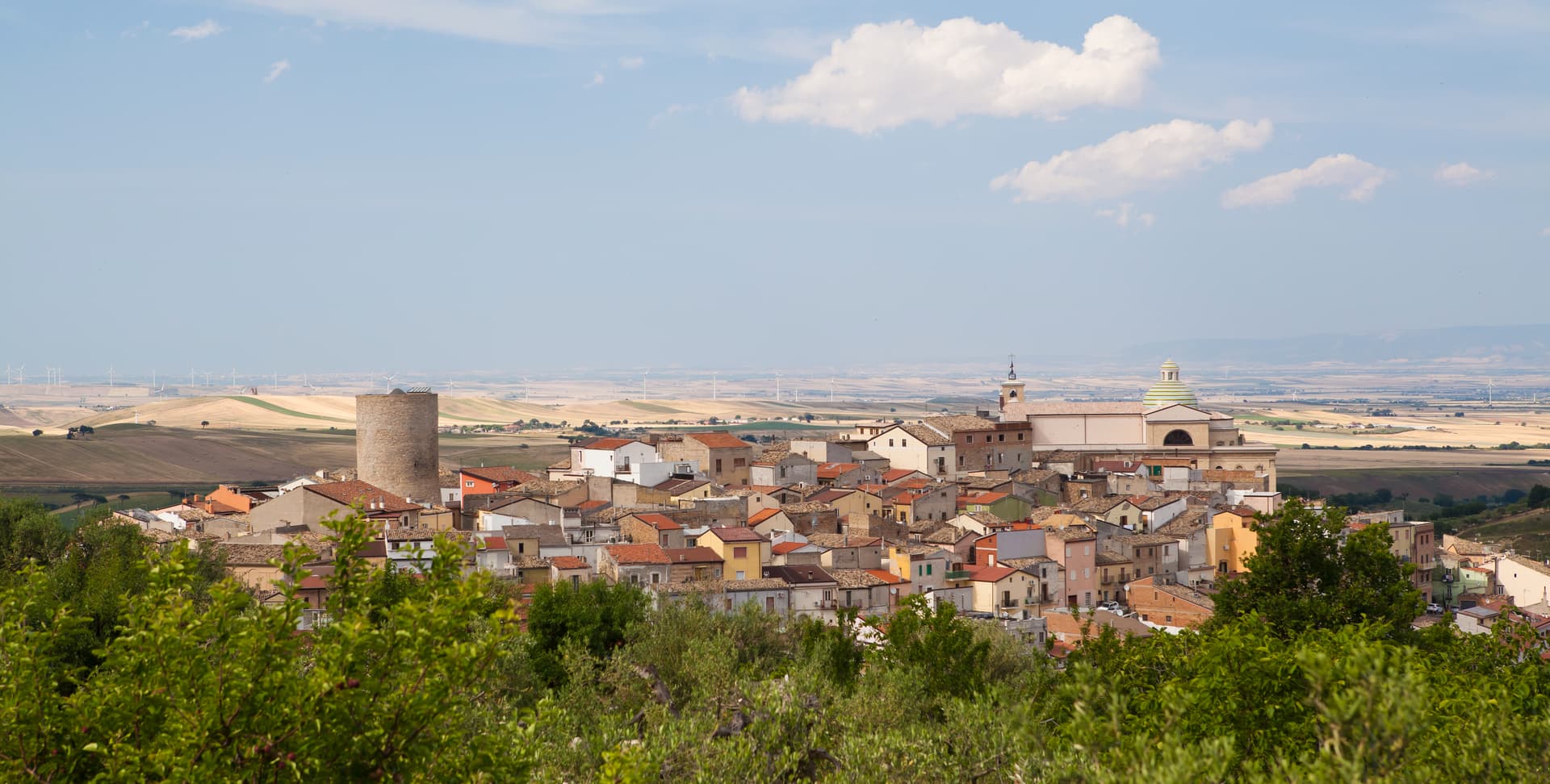
Biccari
Province: Foggia
A Subappennino Dauno borgo at 450 meters under Monte Cornacchia, the highest peak in Puglia at 1,151 meters, with a Byzantine tower at its core.
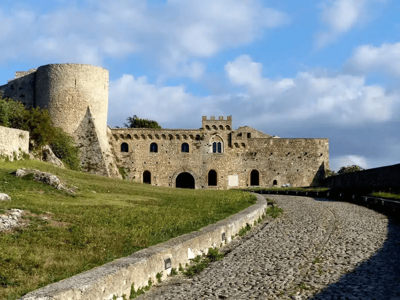
Bovino
Province: Foggia
A Daunian Mountains hill town at 646 meters above the Cervaro valley, Roman Vibinum, with a Norman-Swabian castle later turned into a Guevara ducal palace.
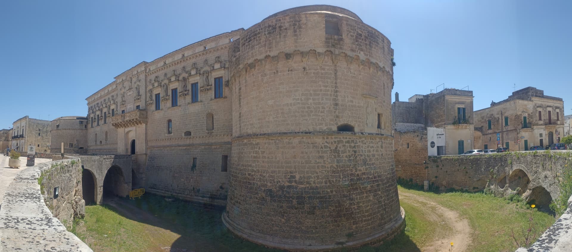
Corigliano d'Otranto
Province: Lecce
A Grecìa Salentina town twenty-five kilometers south of Lecce, Griko-speaking, with a 1500s Lecce-stone castle of circular towers around a quadrangular plan.
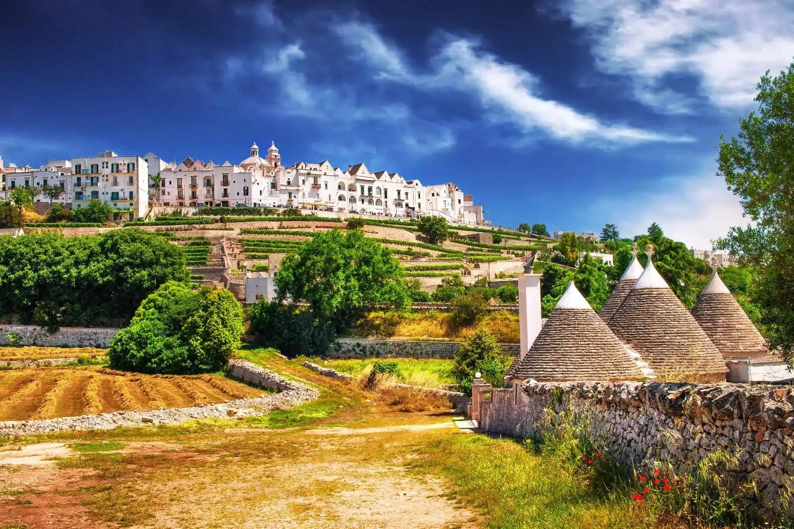
Locorotondo
Province: Bari
The round white town on the Itria valley ridge at 410 meters, with cummerse roofs the rest of Puglia does not have.
Pietramontecorvino
Province: Foggia
A Subappennino Dauno village at 456 meters on a tufa spur with a 30-meter Norman-Angevin tower and houses carved into the rock.