

Emilia-Romagna · Parma
Borgo Val di Taro
The Cittaslow capital of the upper Taro valley, where the Fungo di Borgotaro IGP porcini has been protected since 1996.
Known for
FUNGO DI BORGOTARO IGP
European Protected Geographical Indication granted in 1996 to porcini from Borgotaro and neighbouring valleys, the first PGI for a wild mushroom.
CITTASLOW
Member of the Cittaslow network of slow cities, recognized for the porcini trade and the working centro storico under seven thousand residents.
THREE REGIONS
Upper Taro valley sits where Emilia-Romagna meets Tuscany and Liguria, with the Apennine ridge defining all three borders.
When to visit
Best · Apr–Oct
- J
- F
- M
- A
- M
- J
- J
- A
- S
- O
- N
- D
- Best
- Hot or crowded
- Quiet
- Mostly closed
The festa: Nostra Signora del Monte Carmelo, 16 July
Why come
Borgo Val di Taro sits in the upper Taro valley, sixty-three kilometers southwest of Parma at the point where the province meets Liguria and Tuscany on the Apennine ridge. The town was a Roman waystation, then a possession of the Bobbio abbey, then of the Landi and Doria-Landi families through the medieval centuries. Modern Borgotaro built itself around the porcini trade: the Boletus mushrooms gathered in the surrounding chestnut woods were already famous in the nineteenth century, exported by emigrants to the Americas, and in 1996 the European Union granted the Fungo di Borgotaro Protected Geographical Indication status, the first European recognition for a wild mushroom.
The Consorzio per la Tutela del Porcino di Borgotaro was founded the same year. The Cittaslow movement admitted the town in the 2000s. The September Fiera del Fungo di Borgotaro is the calendar event; population has dropped under seven thousand but the porcini trade still anchors the local economy.
The Sunday letter
We haven’t written Borgo Val di Taro’s letter yet.
One town every Sunday, with the photo, the food, the festa. Be there when this one comes up. Free, by Peter & Sophia from Pietrasanta.
By subscribing you agree to Substack’s Terms of Use, our Privacy Policy and our Information collection notice.
What to see
Centro storico
Medieval town center along the Taro, with the Palazzo Tardiani, the Piazza Manara, and the porticos lining the old market street.
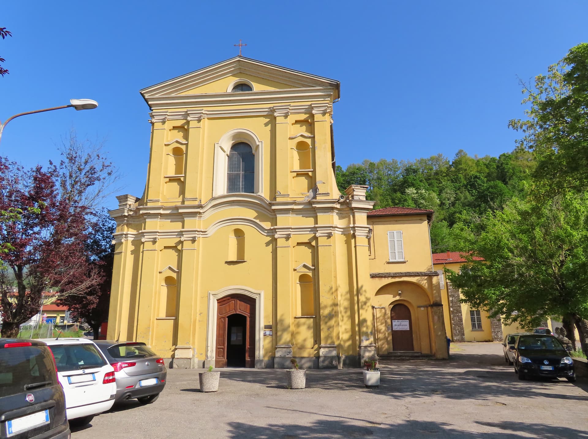
Chiesa di Sant'Antonino
Sixteenth-century parish church with a Baroque interior, holding a fifteenth-century crucifix and a wooden image of the Madonna del Carmelo.
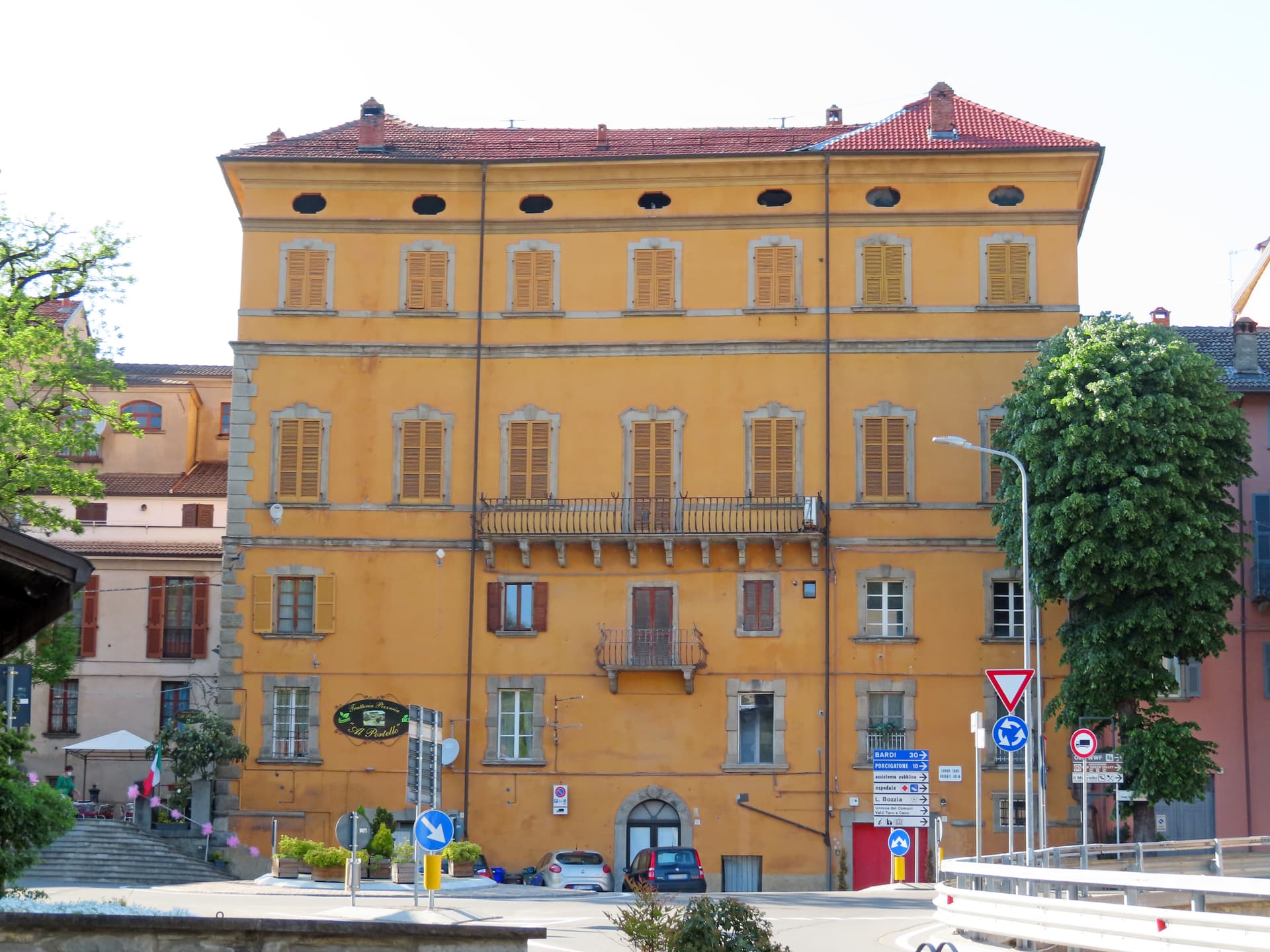
Palazzo Tardiani
Eighteenth-century palace on the main street, now housing the municipal library and the cultural offices.
Fiera del Fungo di Borgotaro
Annual porcini fair on the last two weekends of September, the largest mushroom market in the northern Apennines.
Faggeta di Boschetto
Beech forest in the surrounding hills, one of the gathering grounds for the Fungo di Borgotaro IGP, with marked trails for mushroom and chestnut season.
The slow-trip planner
Building a trip? Find where Borgo Val di Taro fits in a slow Italy circuit.
Answer five questions. We will shape a geographically coherent slow trip from the 1,000 Italian towns most travelers skip. Yours to save and share.
Living here
- Population 6,716
- Off the beaten pathi
- Pharmacy in town
- High school within a 30-minute drive
- Train station in the comune
- Nearest airport Bologna, 1 h 58 min drive
- Regional capital Bologna, 2 h 3 min drive
Tags & datadesignations · numbers · sources
Recognised as
The numbers
- Elevation: 411 m
- Population: 6,716
- Surface area: 151.49 km²
These figures were compiled from public directories — ISTAT, OpenStreetMap, Wikidata — and from the official listings of the guides named on this page. Town details change; verify with official sources before you travel.
Close by
More towns near Borgo Val di Taro
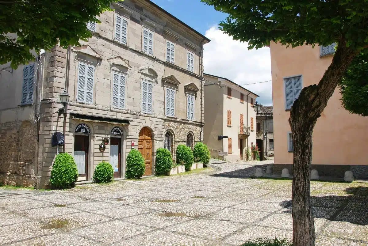
Compiano
Province: Parma
A 519-meter walled borgo over the Taro, ruled by the Landi for 425 years and used by Maria Luigia as a state prison.
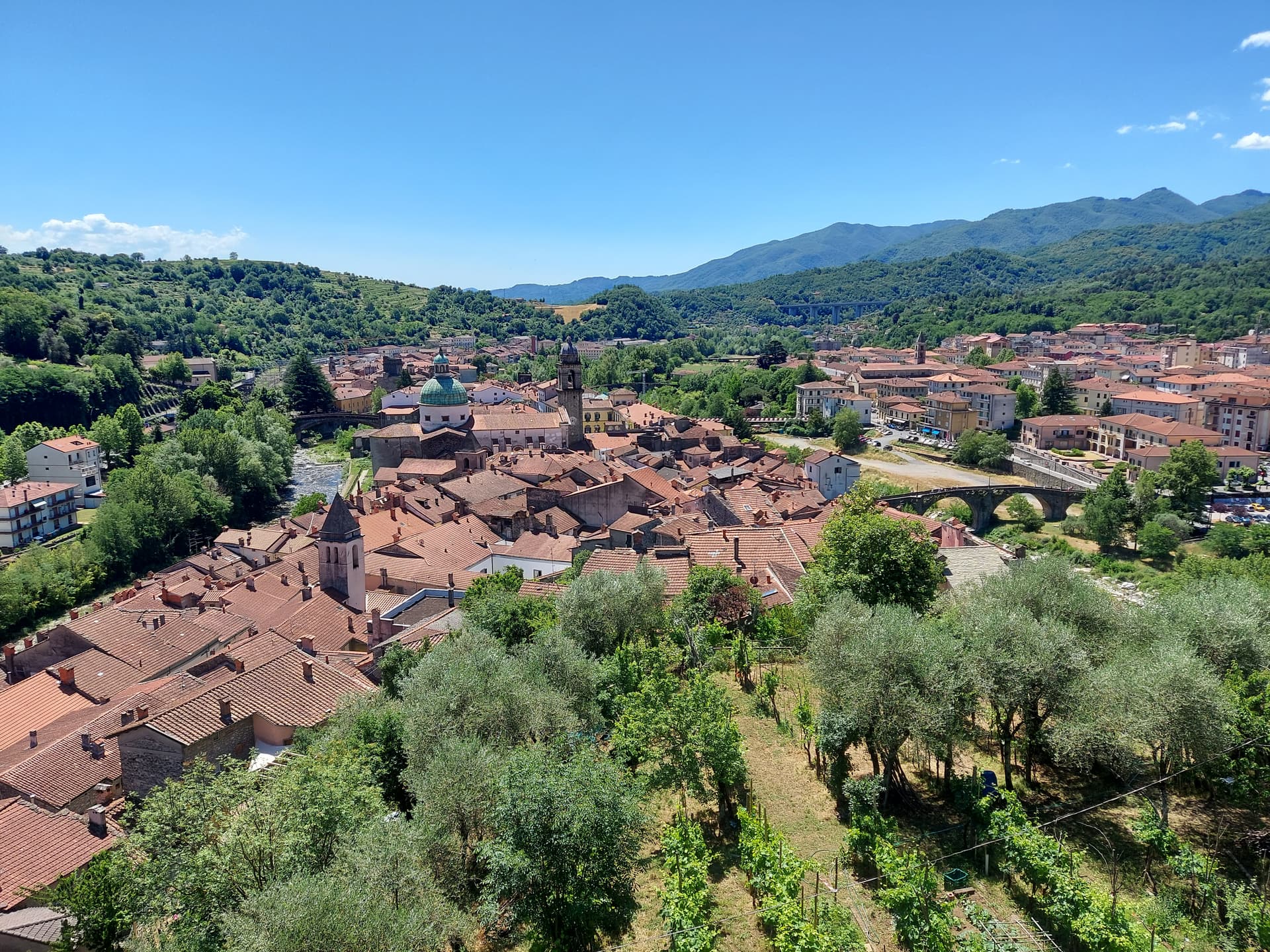
Pontremoli
Province: Massa-Carrara
The capital of Lunigiana at the confluence of the Magra and Verde, holding the prehistoric stele statues and the oldest book prize in Italy.
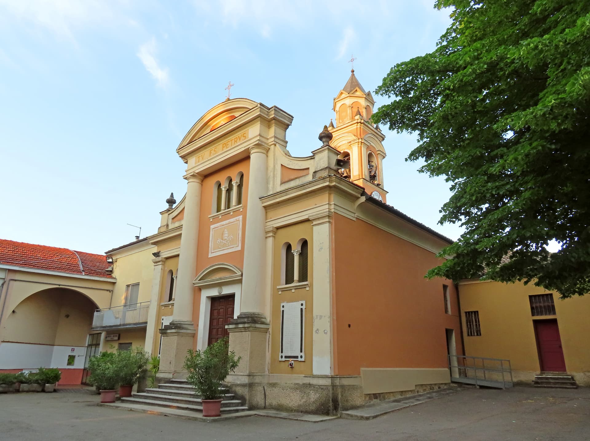
Collecchio
Province: Parma
The Parma-cintura town on the Via Francigena, home to the Pieve di San Prospero, Parmalat, and Parma F.C.'s training ground.
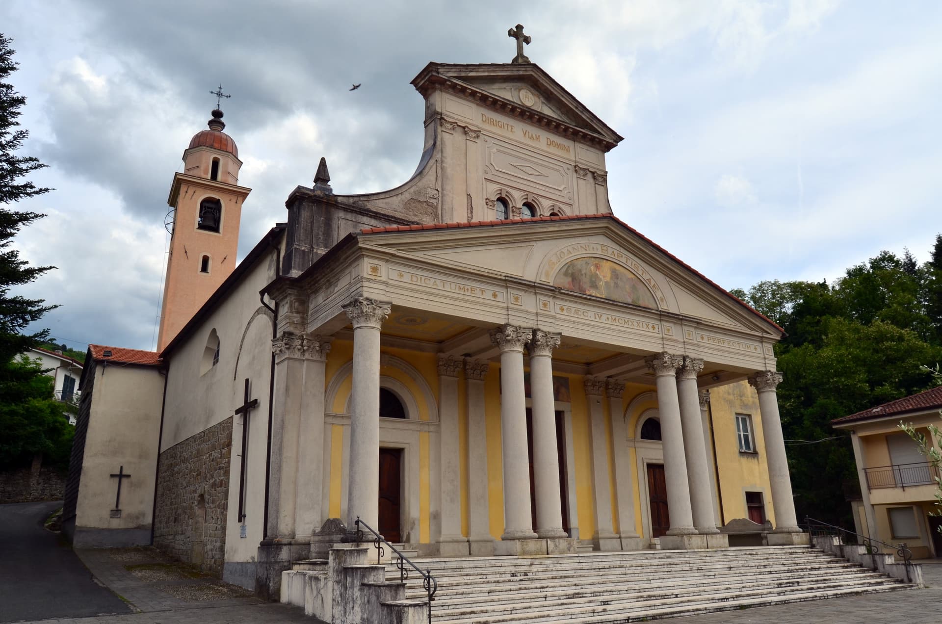
Varese Ligure
Province: La Spezia
The Val di Vara's medieval seat at 358 meters, the first European municipality with ISO 14001 certification, anchor of Italy's largest organic district.
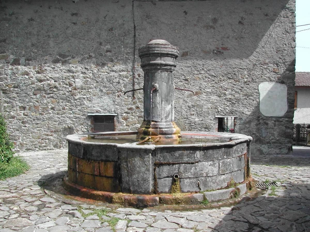
Corniglio
Province: Parma
A 690-meter Parma-Apennine commune inside the Tosco-Emiliano park, with a thirteenth-century Rossi castle and the Lagdei plateau above.
🐌 Cittaslow
More Cittaslow towns in Emilia-Romagna
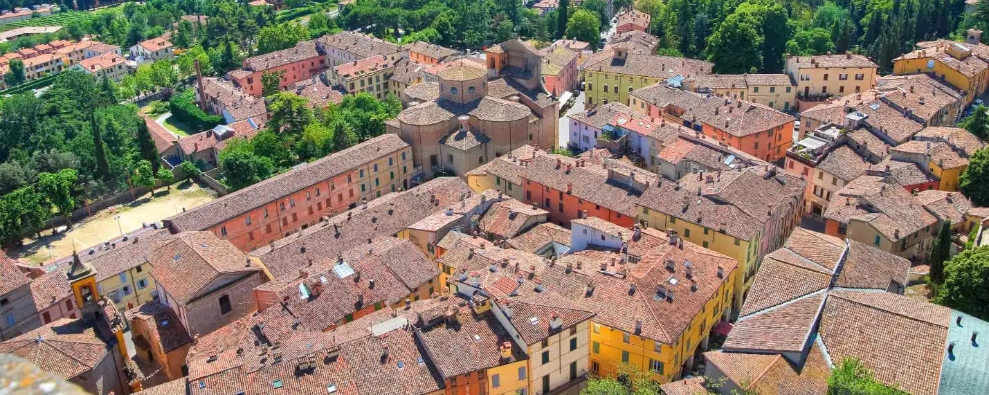
Brisighella
Province: Ravenna
A Lamone-valley borgo at 115 meters under three selenite hills crowned by a fortress, a clock tower, and a sanctuary.
Castel San Pietro Terme
Province: Bologna
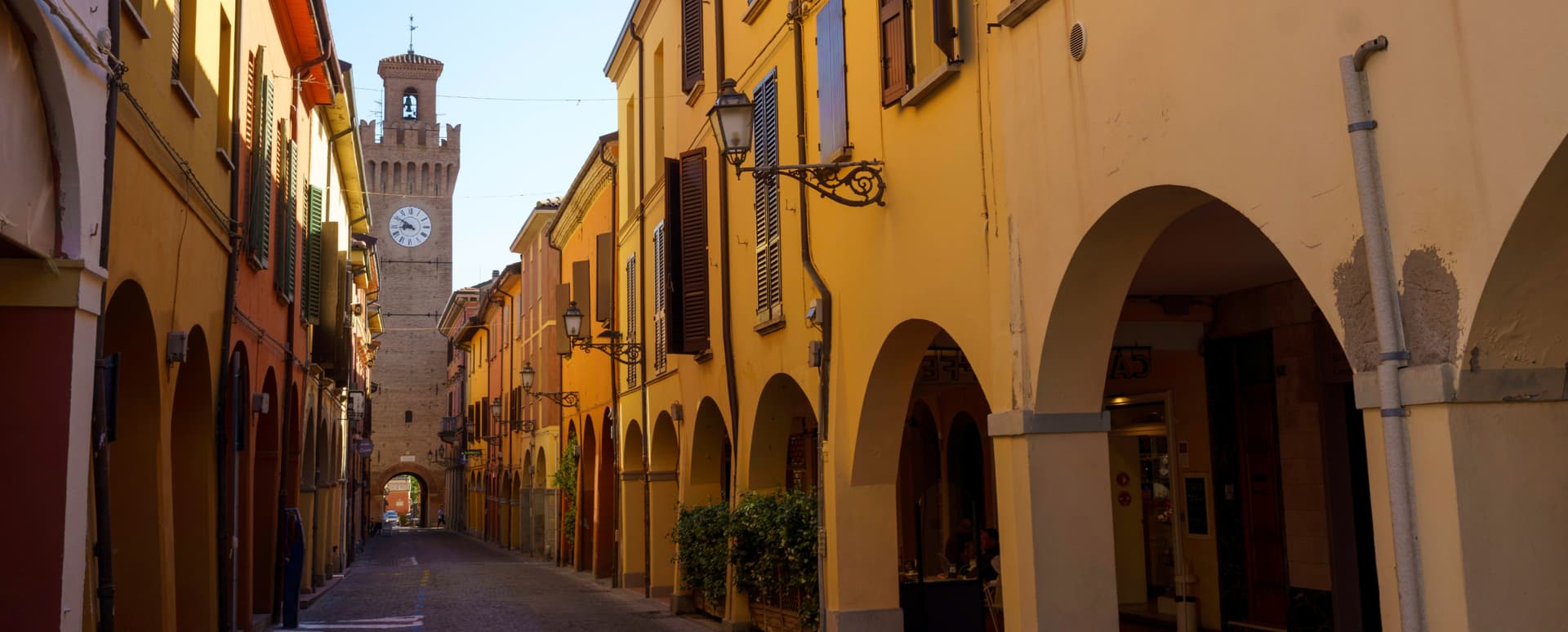
A 75-meter thermal town on the Via Emilia east of Bologna, with sulphurous waters in use since 1137 and a 1200-built Cassero.
Fontanellato
Province: Parma
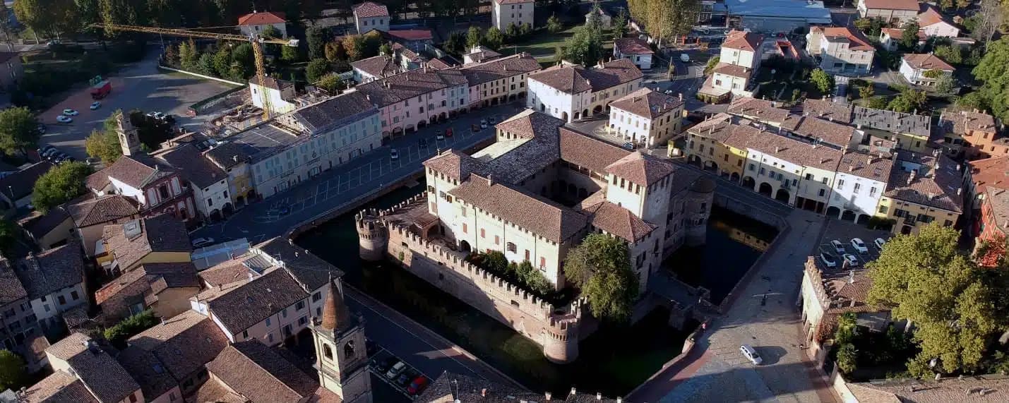
A Parma-plain town built around the Rocca Sanvitale, the moated fortress with Parmigianino's 1524 fresco of Diana and Actaeon.
Santarcangelo di Romagna
Province: Rimini
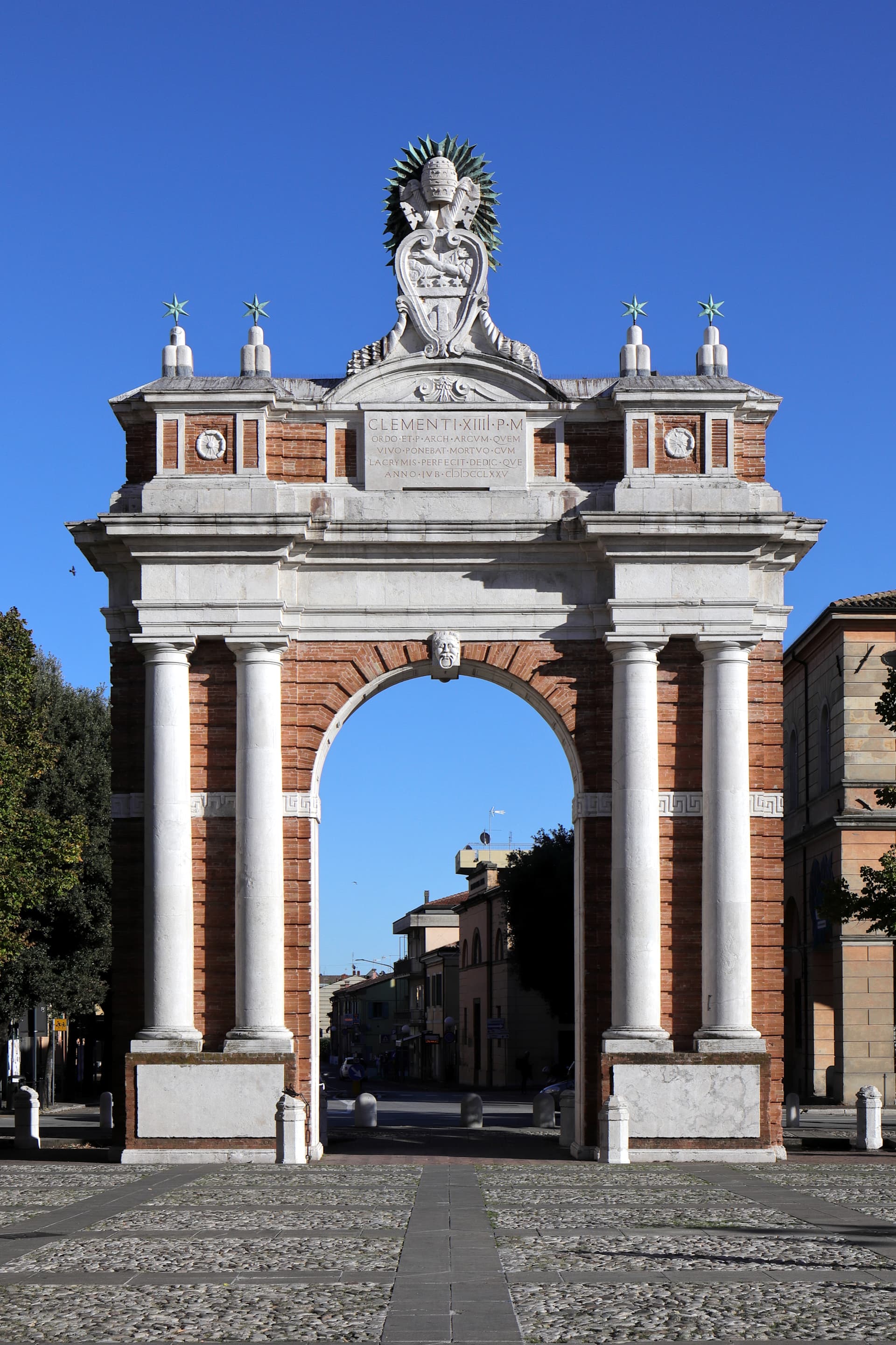
A Via Emilia hill town on the Marecchia plain, with over 150 tufa caves under the centro and a Malatesta fortress on its summit.