

Emilia-Romagna · Rimini
Santarcangelo di Romagna
A Via Emilia hill town on the Marecchia plain, with over 150 tufa caves under the centro and a Malatesta fortress on its summit.
Known for
GROTTE TUFACEE
Over 150 man-made caves on eight levels under the centro, in continuous use from pagan rites to wartime shelters.
FESTIVAL DEL TEATRO
International street theater festival running every July since 1971, the longest-running in Italy, founded by Roberto Bacci and others.
TONINO GUERRA
Screenwriter for Fellini, Antonioni, and Tarkovsky, born here in 1920, his Strada delle Meridiane runs through the centro.
When to visit
Best · Apr–Jun, Sep–Oct
- J
- F
- M
- A
- M
- J
- J
- A
- S
- O
- N
- D
- Best
- Hot or crowded
- Quiet
- Mostly closed
The festa: Michele, 29 September
Why come
Santarcangelo di Romagna sits on a low hill between the Marecchia and the Uso rivers, eleven kilometers northwest of Rimini on the Via Emilia. Roman in origin, named Pagus Acervolanus, the town grew under the Malatesta of Rimini, who fortified the hill in 1386 with the Rocca Malatestiana that Carlo Malatesta built and contemporaries called an eighth wonder of the world. Under the centro storico, over 150 man-made caves on eight levels cut into the soft tufa rock form an underground city: pagan place of worship, burial chambers, wine cellars, and in 1944 air-raid shelters that saved most of the population.
The town gave the world two dialect poets, Raffaello Baldini and Tonino Guerra, whose verses earned Santarcangelo the title capital of Romagnolo dialect poetry. Guerra, also Fellini's screenwriter, designed the Strada delle Meridiane that runs through the centro. The Festival Internazionale del Teatro in Piazza, founded in 1971, fills the streets every July.
The Sunday letter
We haven’t written Santarcangelo di Romagna’s letter yet.
One town every Sunday, with the photo, the food, the festa. Be there when this one comes up. Free, by Peter & Sophia from Pietrasanta.
By subscribing you agree to Substack’s Terms of Use, our Privacy Policy and our Information collection notice.
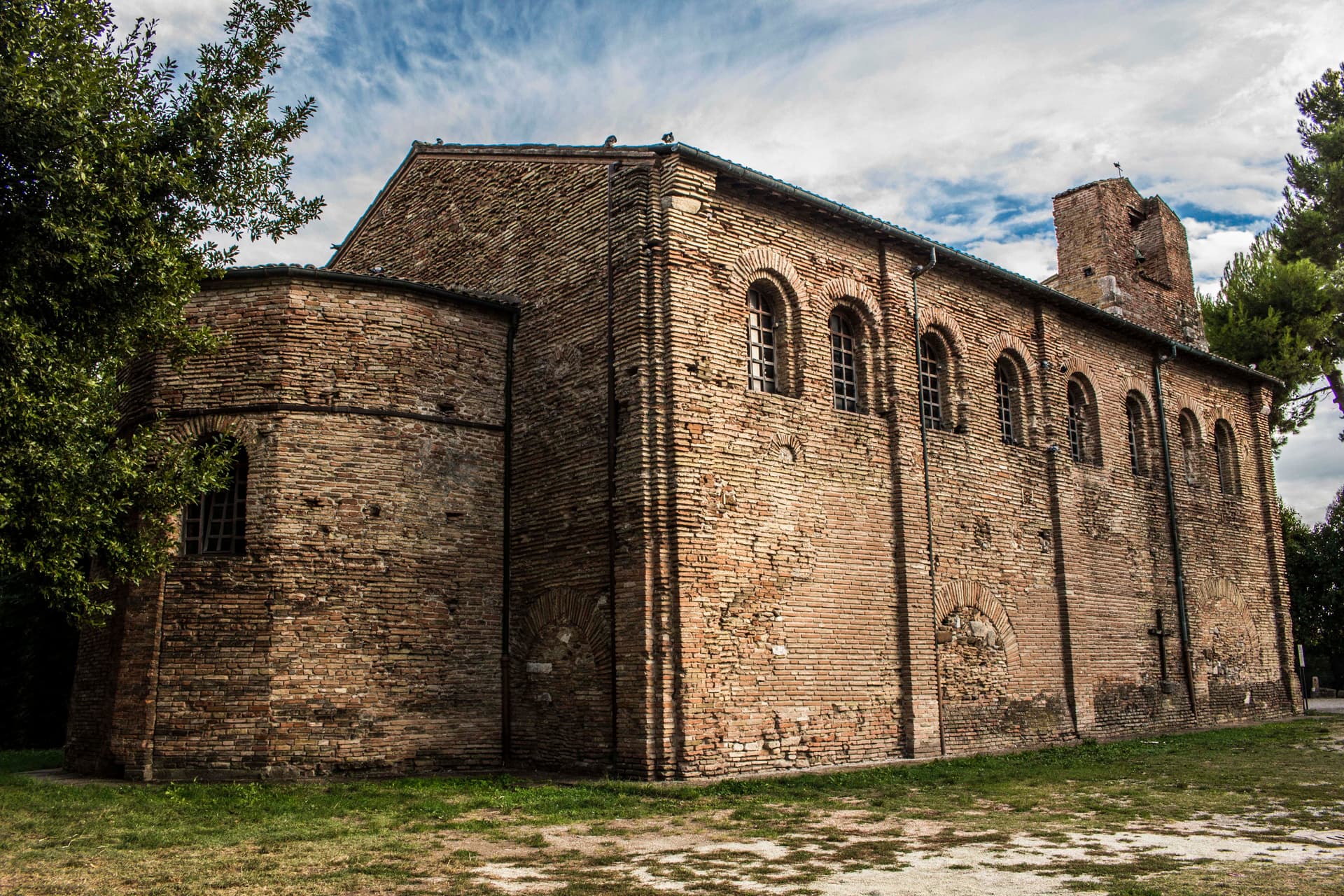
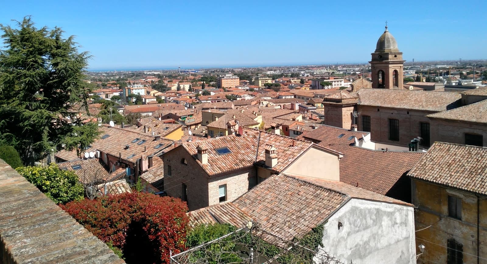
What to see
Rocca Malatestiana
Hilltop fortress built by Carlo Malatesta in 1386, with the surviving keep, walls, and the Torre del Campanone over the centro.
Grotte Tufacee
Over 150 man-made caves on eight levels cut into the tufa under the centro storico, used as pagan sanctuaries, wine cellars, and 1944 air-raid shelters.
Piazza Ganganelli
Central square named for Pope Clement XIV (Giovanni Ganganelli, born here in 1705), with a triumphal arch from 1779.
Collegiata di Santarcangelo
Eighteenth-century collegiate church, holding the Compianto sul Cristo Morto attributed to the school of Niccolò dell'Arca and a Bellini crucifix.
Teatro Il Lavatoio
Town theater inside a converted nineteenth-century public washhouse, base for the Festival Internazionale del Teatro in Piazza since 1971.
Museo del Bottone
Eccentric private museum opened in 2008, holding over 18,000 buttons from the Napoleonic period to contemporary fashion houses.
The slow-trip planner
Building a trip? Find where Santarcangelo di Romagna fits in a slow Italy circuit.
Answer five questions. We will shape a geographically coherent slow trip from the 1,000 Italian towns most travelers skip. Yours to save and share.
We recommend
Where to eat and stay
Not our picks, but places the guides put their name to — a Michelin star, a Gambero Rosso fork, a Slow Food snail, a Michelin Key for the hotels. Worth a table, a counter, or a night when you pass through.
Osteria La SangiovesaTrattoria
Osteria La Sangiovesa holds three Gambero Rosso prawns and a spot in the Michelin Guide.
LazarounRistorante
Lazaroun holds a spot in the Michelin Guide.
Living here
- Population 22,148
- Commuter belti
- Pharmacy in town
- High school within a 30-minute drive
- Train station in the comune
- Nearest airport Rimini, 42 min drive
- Regional capital Bologna, 1 h 23 min drive
Tags & datadesignations · numbers · sources
Recognised as
The numbers
- Elevation: 42 m
- Population: 22,148
- Surface area: 45.01 km²
These figures were compiled from public directories — ISTAT, OpenStreetMap, Wikidata — and from the official listings of the guides named on this page. Town details change; verify with official sources before you travel.
Close by
More towns near Santarcangelo di Romagna
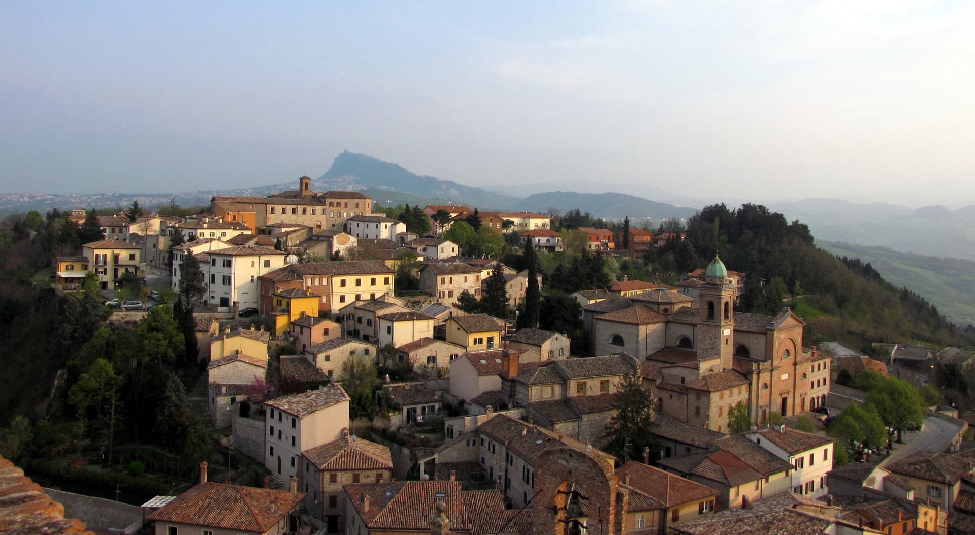
Verucchio
Province: Rimini
A spur over the lower Marecchia valley, cradle of the Villanovan civilization and birthplace of the Malatesta lordship of Romagna.
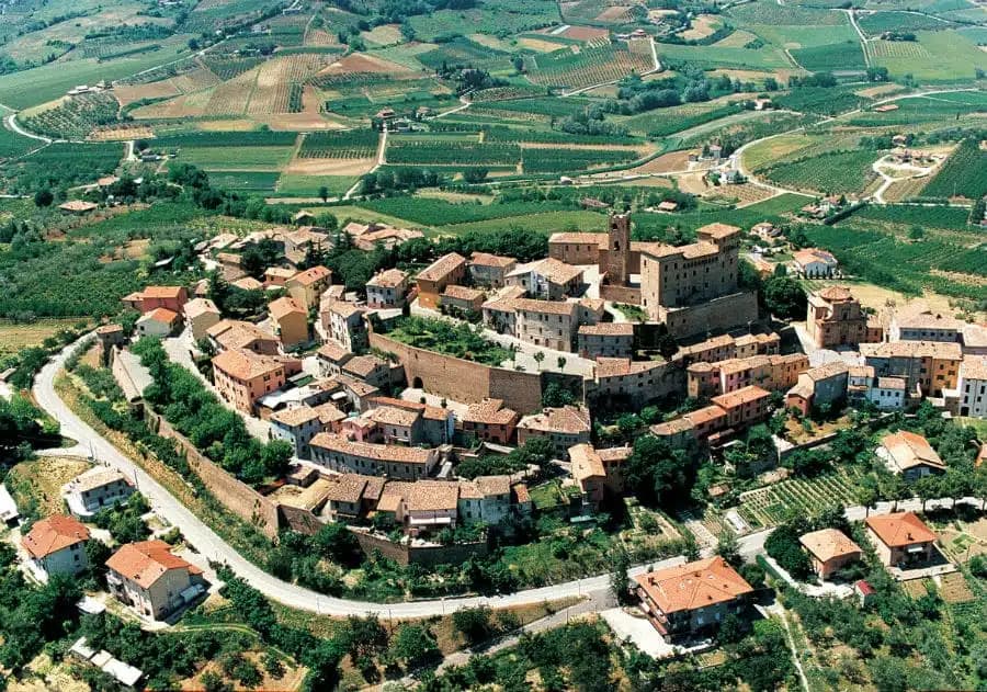
Longiano
Province: Forlì-Cesena
A 179-meter Malatesta borgo on the hills between Cesena and Rimini, holding the Tito Balestra collection inside the family castle.
San Leo
Province: Rimini
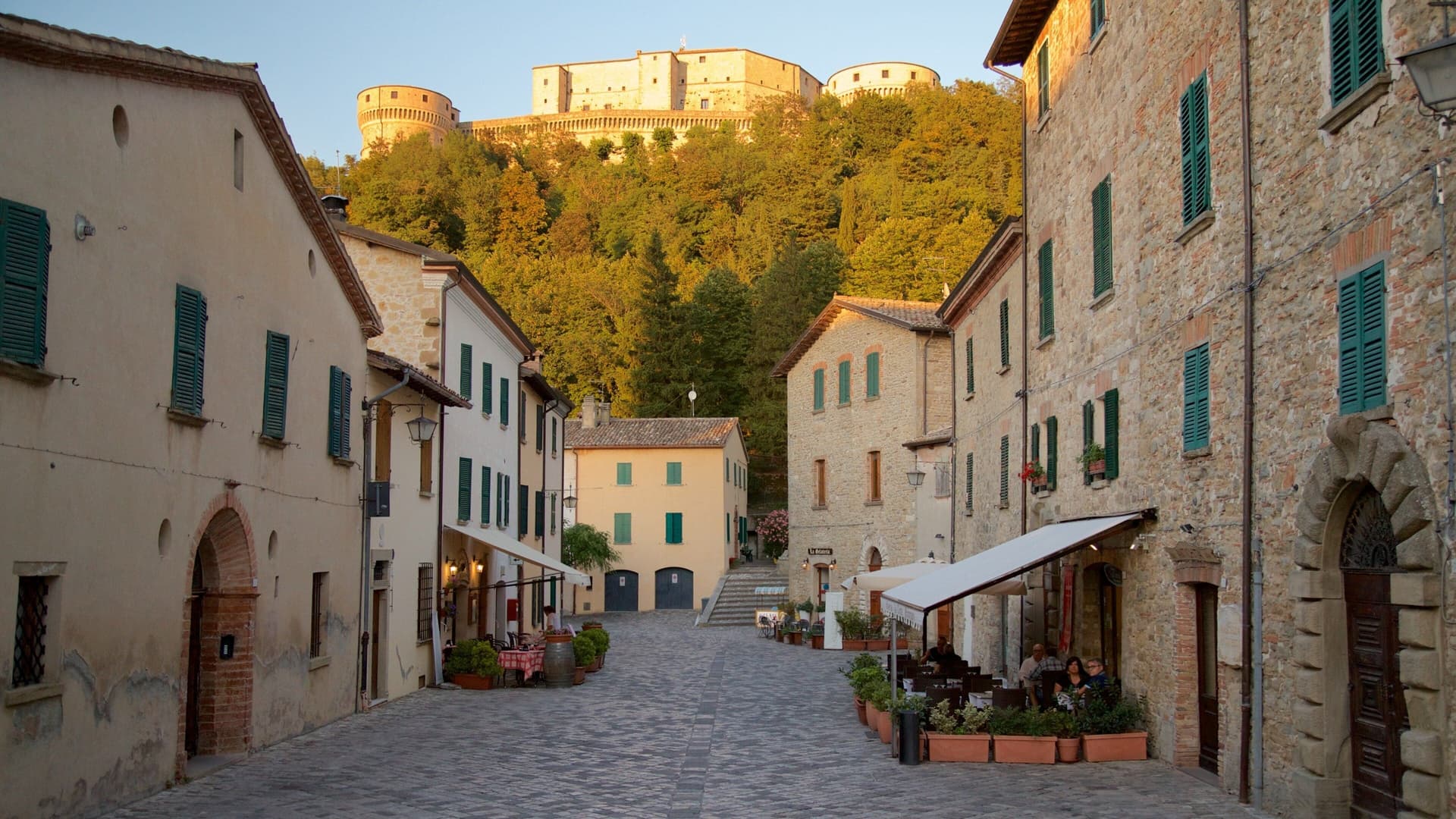
Italy's most dramatic hilltop fortress town — a 2,820-resident borgo on a vertical 583m limestone outcrop in the Montefeltro, 35 km from Rimini, with the Renaissance Forte di San Leo (where Cagliostro was imprisoned and died in 1795), the 9th-c Pieve, the 12th-c Duomo, and the Romagna/Marche frontier panorama from every wall.
Cesenatico
Province: Forlì-Cesena
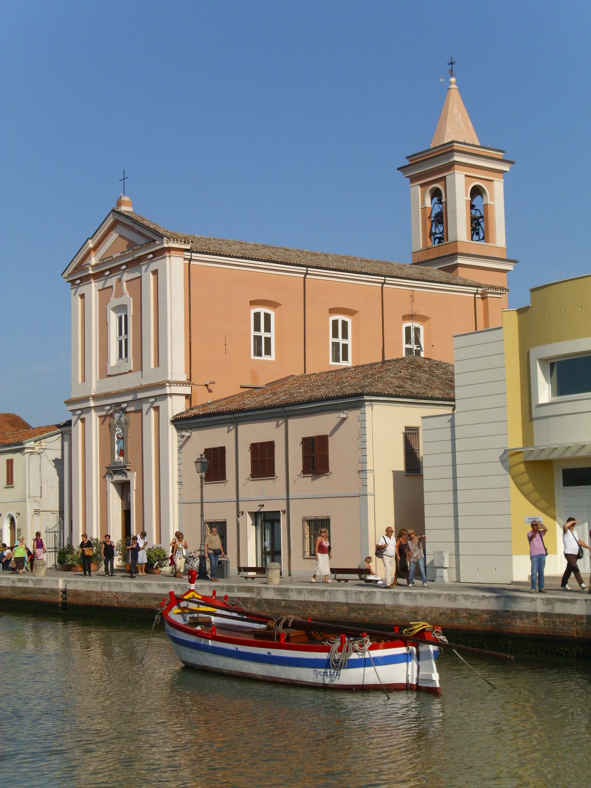
An Adriatic fishing port whose canal was redrawn by Leonardo da Vinci in 1502, with ten historic sailboats moored as a floating museum.
San Giovanni in Marignano
Province: Rimini
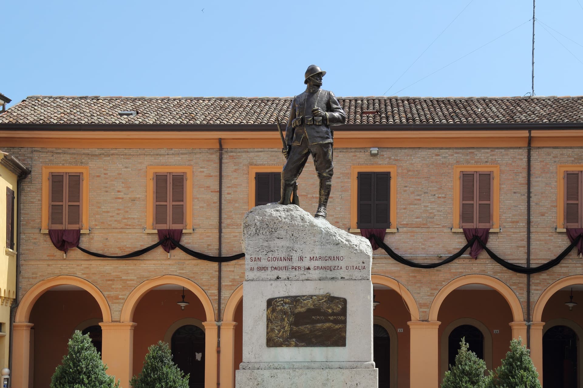
A walled Conca-valley borgo, granary of the Malatesta state, where the Notte delle Streghe has marked the summer solstice since 1988.
🐌 Cittaslow
More Cittaslow towns in Emilia-Romagna
Borgo Val di Taro
Province: Parma
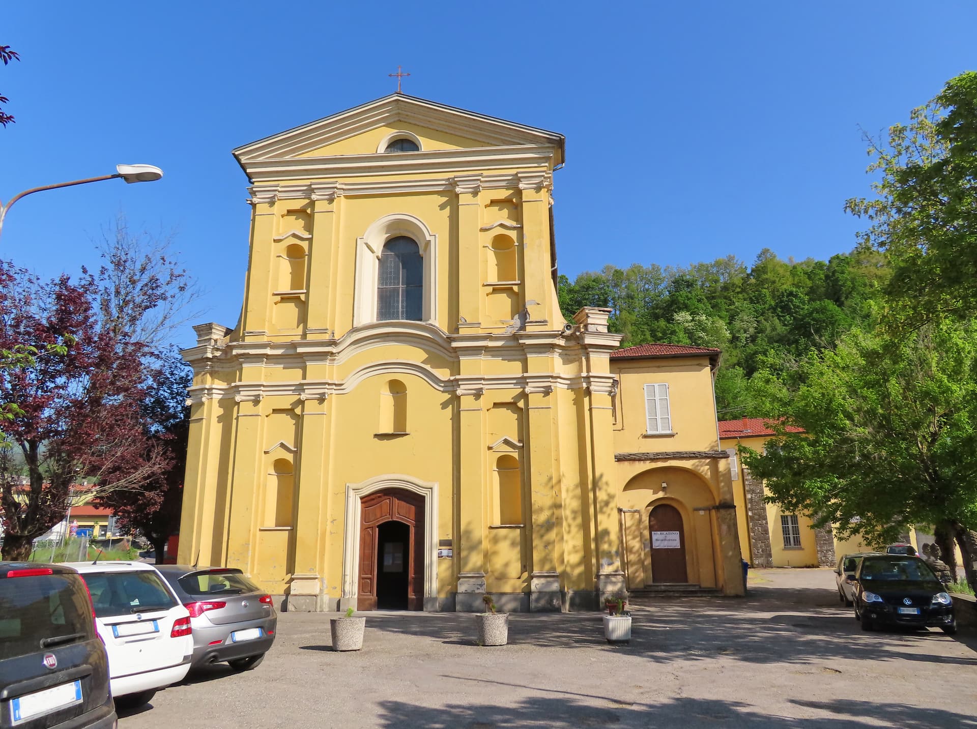
The Cittaslow capital of the upper Taro valley at 411 meters, where the Fungo di Borgotaro IGP porcini has been protected since 1996.
Brisighella
Province: Ravenna
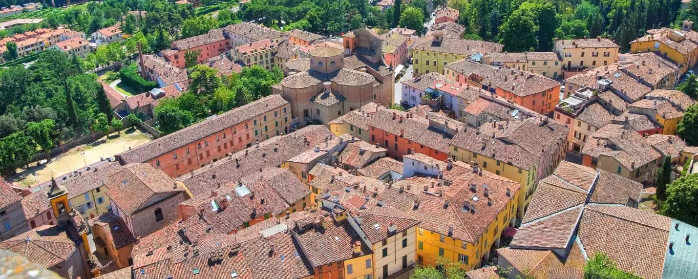
A Lamone-valley borgo at 115 meters under three selenite hills crowned by a fortress, a clock tower, and a sanctuary.
Castel San Pietro Terme
Province: Bologna
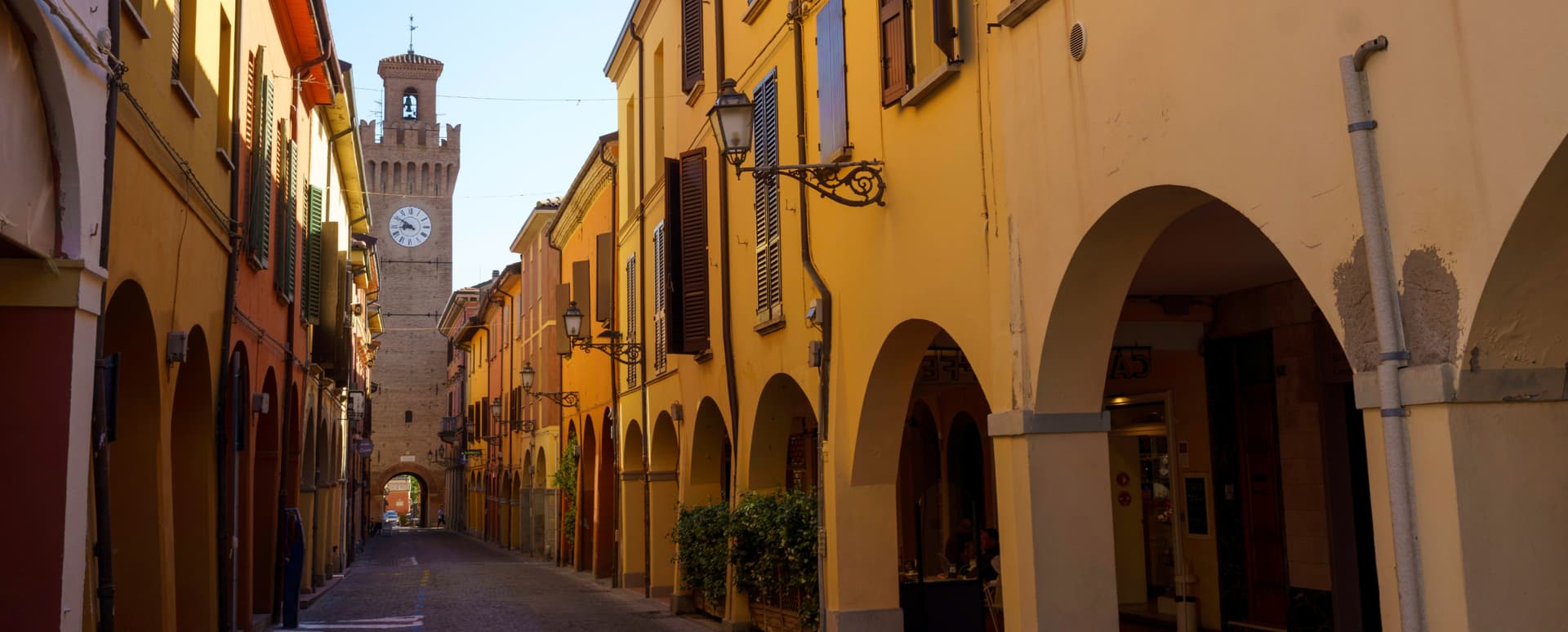
A 75-meter thermal town on the Via Emilia east of Bologna, with sulphurous waters in use since 1137 and a 1200-built Cassero.
Fontanellato
Province: Parma
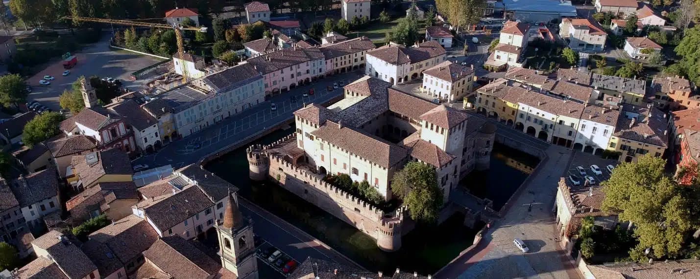
A Parma-plain town built around the Rocca Sanvitale, the moated fortress with Parmigianino's 1524 fresco of Diana and Actaeon.