
Abruzzo · Pescara
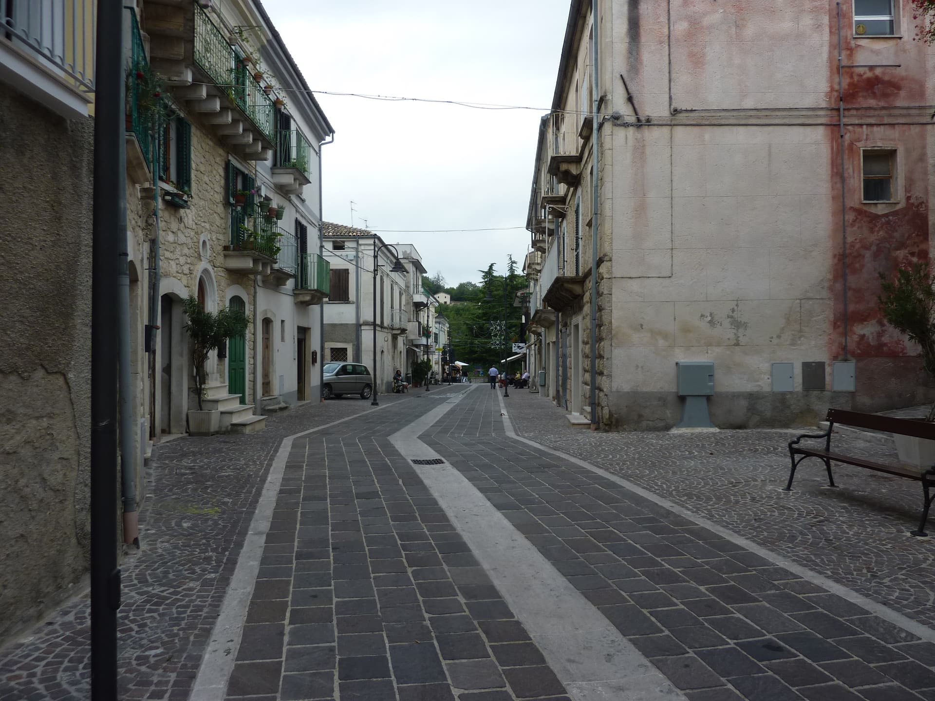
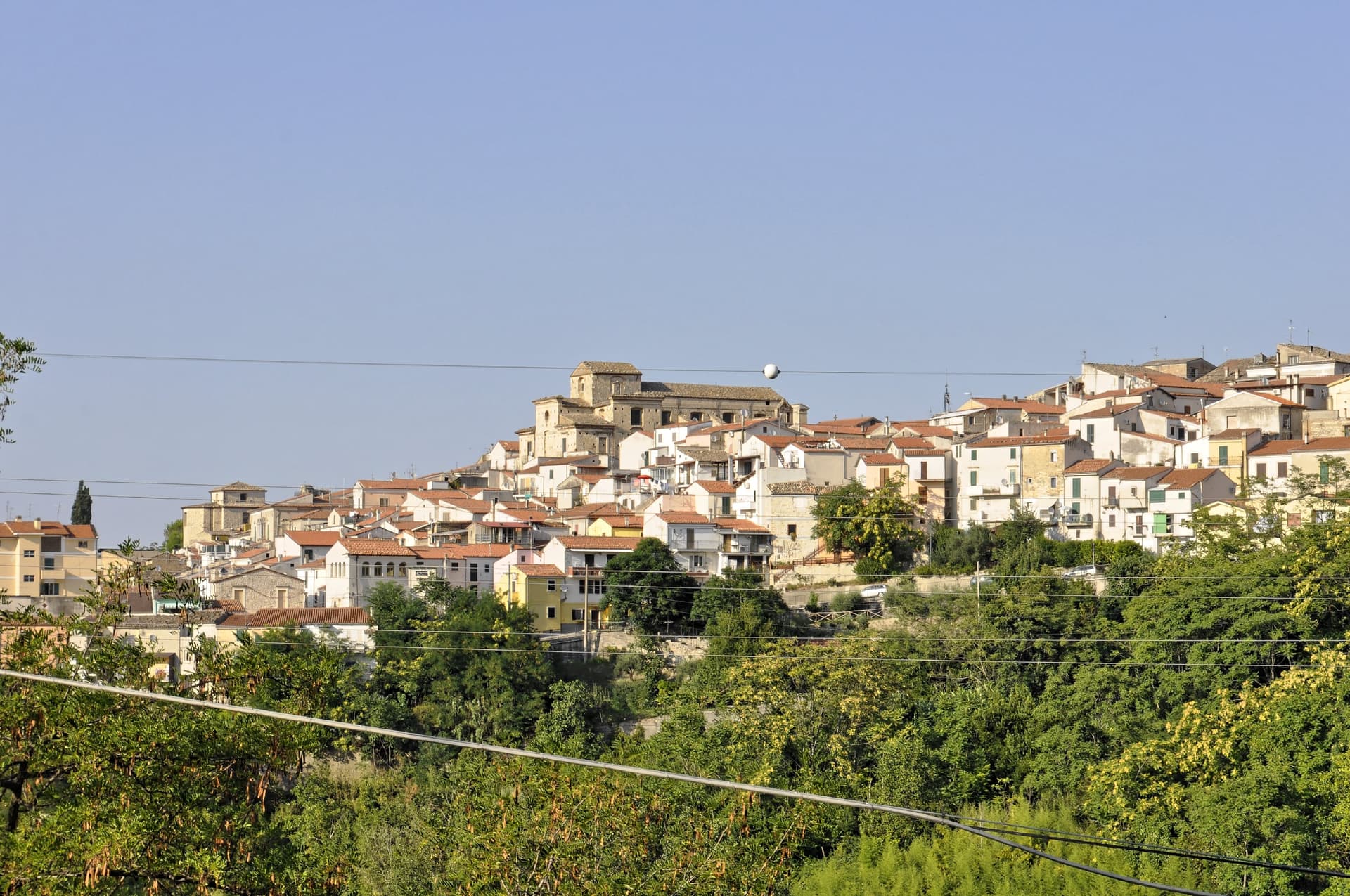
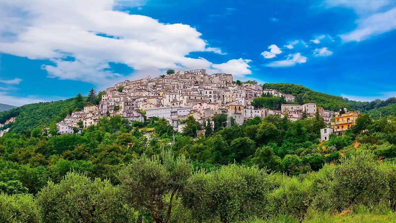
Roccamorice
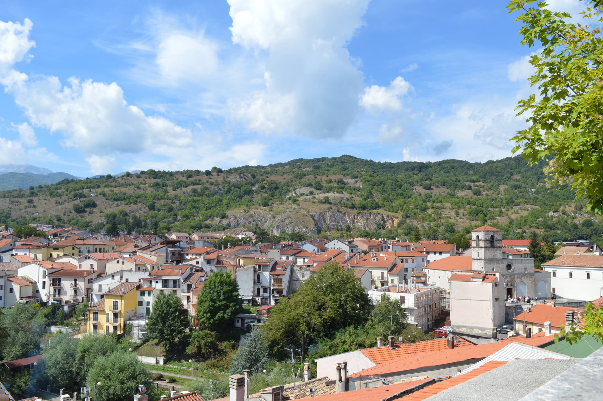
A village at 520 meters in the Majella foothills, gateway to the rock-cut hermitages where Pietro da Morrone lived before becoming Pope Celestine V.
Known for
EREMI
Two Celestinian rock-cut hermitages, San Bartolomeo in Legio and Santo Spirito a Majella, used by the future Pope in the 13th century.
CELESTINE V
Pietro da Morrone lived in the San Bartolomeo hermitage before his 1294 election as Pope Celestine V and his five-month abdication.
MAJELLA
The commune sits inside the Parco Nazionale della Majella with trail access to the high karst plateau and Monte Amaro at 2,793 meters.
When to visit
Best · Apr–Oct
- J
- F
- M
- A
- M
- J
- J
- A
- S
- O
- N
- D
- Best
- Hot or crowded
- Quiet
- Mostly closed
The festa: Donato d'Arezzo, 7 August
Why come
Roccamorice sits at 520 meters on the western flank of the Majella massif, inside the boundaries of the Parco Nazionale della Majella. The village was founded around the year 1000 and stayed small. Its larger significance lies in the rock-cut hermitages scattered through the surrounding limestone.
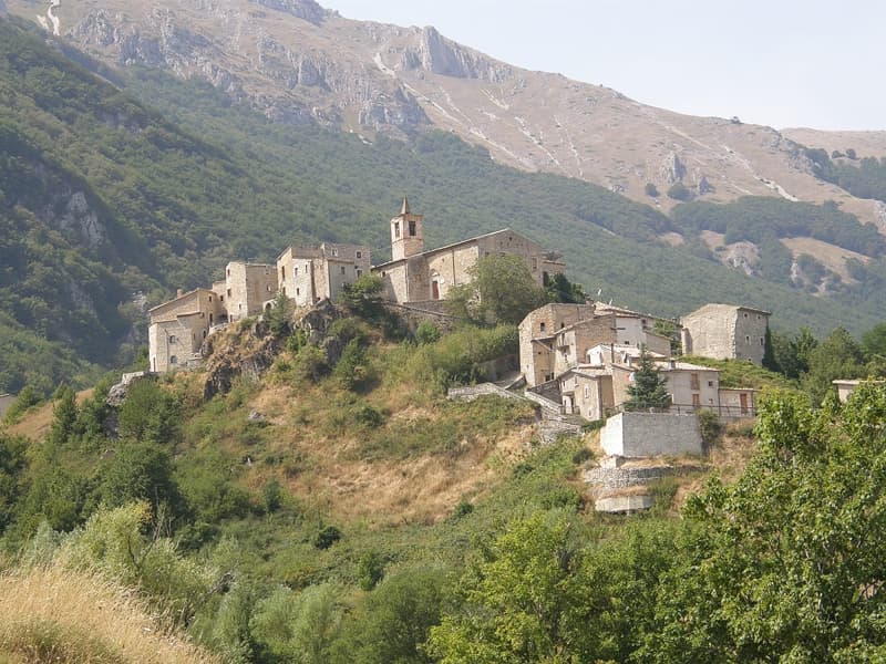
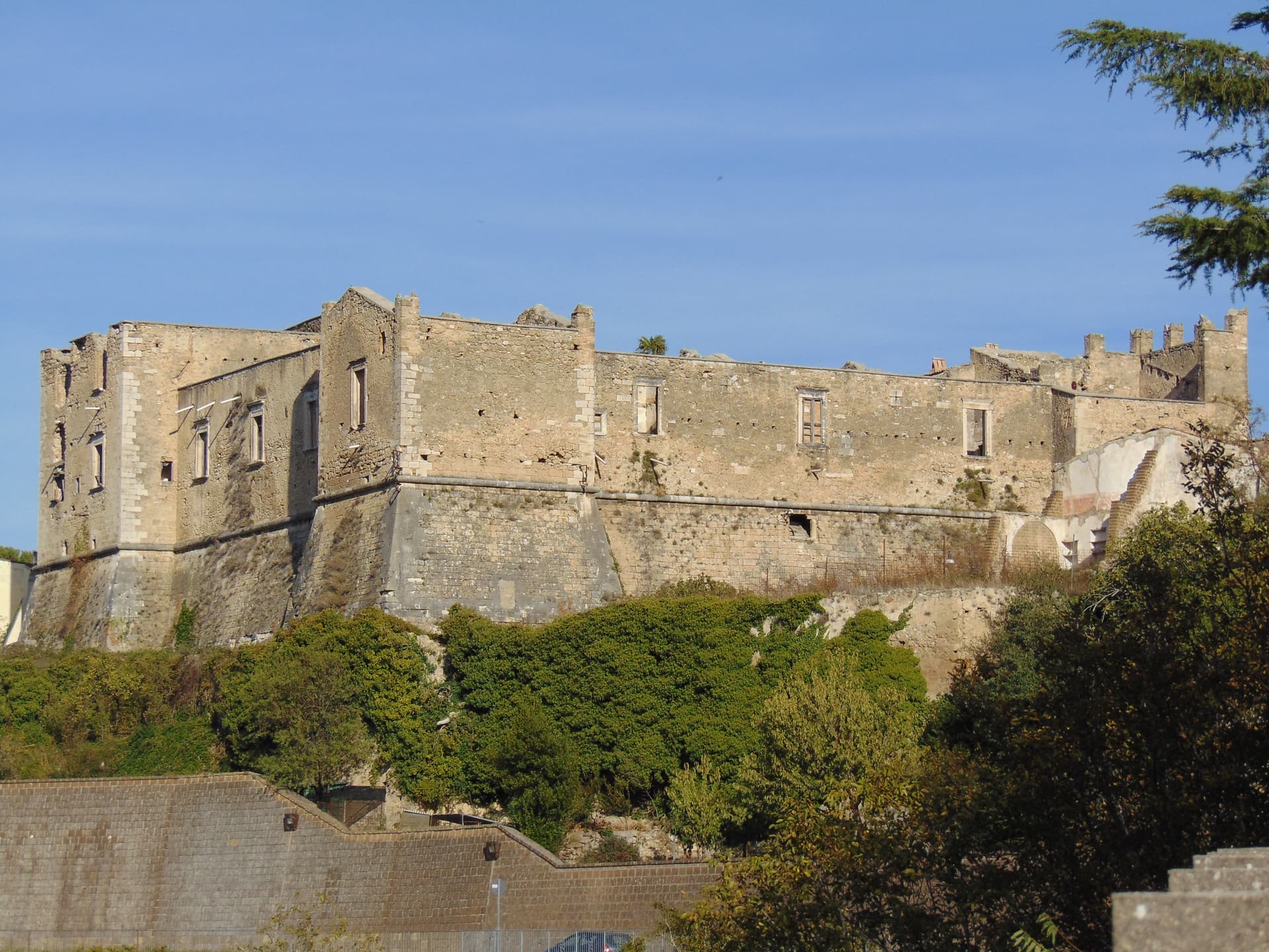
The Eremo di San Bartolomeo in Legio, set into a rock spur at 700 meters with a 50-meter cliff above it, predates the 11th century and was restored in 1250 by Pietro da Morrone, who lived there for two years before being elected Pope Celestine V in 1294. Celestine resigned the papacy after five months, an event Dante placed in his Inferno. The Eremo di Santo Spirito a Majella, larger and partly built into a cliff face, was another of his retreats.
Every August 25, the village carries the statue of San Bartolomeo in procession from the hermitage to the parish church. The trails to both hermitages start in town.
The Sunday letter
We haven’t written Roccamorice’s letter yet.
One town every Sunday, with the photo, the food, the festa. Be there when this one comes up. Free, by Peter & Sophia from Pietrasanta.
By subscribing you agree to Substack’s Terms of Use, our Privacy Policy and our Information collection notice.

What to see
Eremo di San Bartolomeo in Legio
Pre-11th-century rock-cut hermitage at 700 meters under a 50-meter cliff, restored in 1250 by the future Pope Celestine V.
Eremo di Santo Spirito a Majella
Larger Celestinian hermitage partly cut into the limestone, also linked to Pietro da Morrone's years on the Majella.
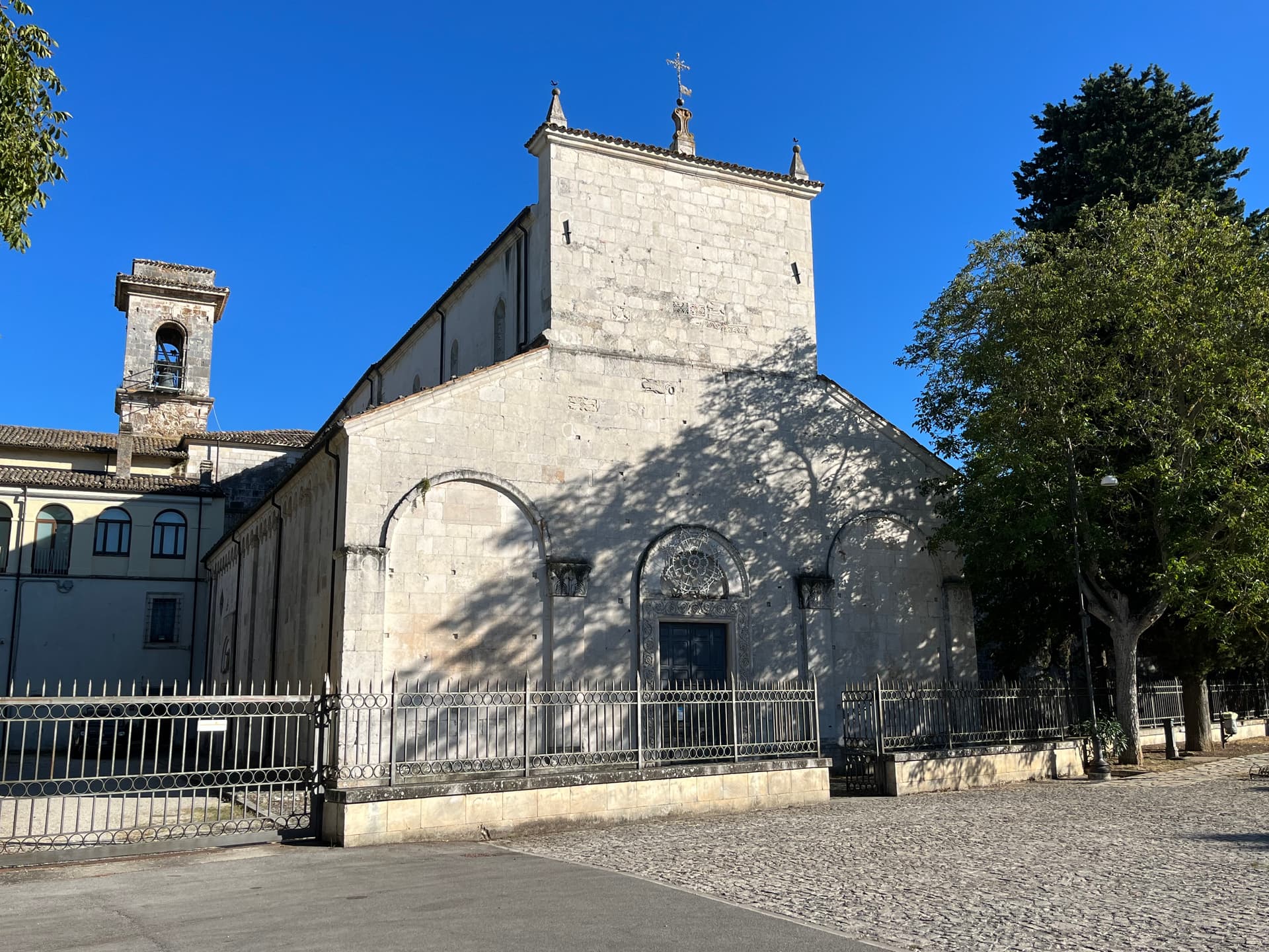
Chiesa di Sant'Antonio Abate
Parish church of the village, end point of the August 25 procession carrying the statue of San Bartolomeo down from the hermitage.
Parco Nazionale della Maiella
The commune lies entirely inside the Majella National Park, with trails climbing east toward the Tavola dei Briganti and Monte Amaro.
The slow-trip planner
Building a trip? Find where Roccamorice fits in a slow Italy circuit.
Answer five questions. We will shape a geographically coherent slow trip from the 1,000 Italian towns most travelers skip. Yours to save and share.
Living here
- Population 878
- In-betweeni
- Pharmacy in town
- Nearest high school over ~30 minutes away
- Nearest airport Ancona / Pescara, 2 h 34 min drive
- Regional capital L'Aquila, 1 h 50 min drive
Tags & datadesignations · numbers · sources
Recognised as
The numbers
- Elevation: 520 m
- Population: 878
- Surface area: 25.06 km²
These figures were compiled from public directories — ISTAT, OpenStreetMap, Wikidata — and from the official listings of the guides named on this page. Town details change; verify with official sources before you travel.
Close by
More towns near Roccamorice
Manoppello
Province: Pescara
A hill town at 257 meters above the Pescara river, custodian since 1620 of the byssus veil known as the Volto Santo.
Pretoro
Province: Chieti
A village of 856 stacked at 530 meters on the eastern Maiella, with wolves in a fenced enclosure and woodturners still working on Via Roma.
Caramanico Terme
Province: Pescara
A 650-meter Majella spa village at the confluence of the Orfento and Orta, with sulphurous springs whose properties were documented in 1576.
Tocco da Casauria
Province: Pescara
A 356-meter hill town between the Pescara river and the Maiella, built around a Carolingian abbey and an herb liqueur called Centerba.
Corfinio
Province: L'Aquila
A village of under a thousand on the Peligna valley floor at 346 meters, sitting on the Italic League's would-be capital Italia.
🌲 Parco Nazionale
More Parco Nazionale towns in Abruzzo
Alfedena
Province: L'Aquila
At 914 meters at the head of the upper Sangro valley, the Samnite Aufidena, with a 15,000-tomb necropolis and a Roman conquest in 298 BC.

Barrea
Province: L'Aquila
A 1,066-meter spur above an artificial lake at the heart of the Abruzzo National Park, with a Samnite necropolis and an 11th-century di Sangro castle.

Calascio
Province: L'Aquila
At 1,200 meters under the highest castle in the Apennines, a village of 125 people that played the monk's refuge in Ladyhawke.
Campli
Province: Teramo
A 393-meter town under the Monti della Laga, held by the Farnese for two centuries, with a Scala Santa carrying papal indulgence.

Campo di Giove
Province: L'Aquila
At 1,064 meters under the southwestern Maiella, the highest village in the park, named for a Roman temple to Jupiter.