

Tuscany · Pisa
Castelnuovo di Val di Cecina
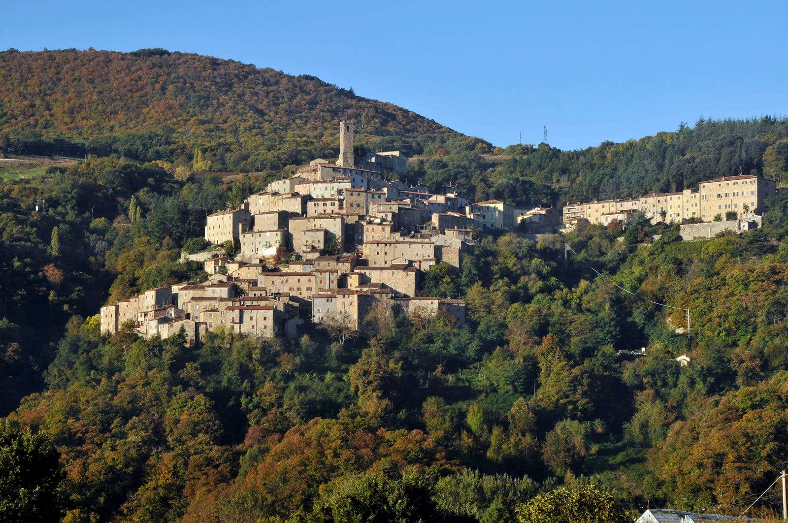
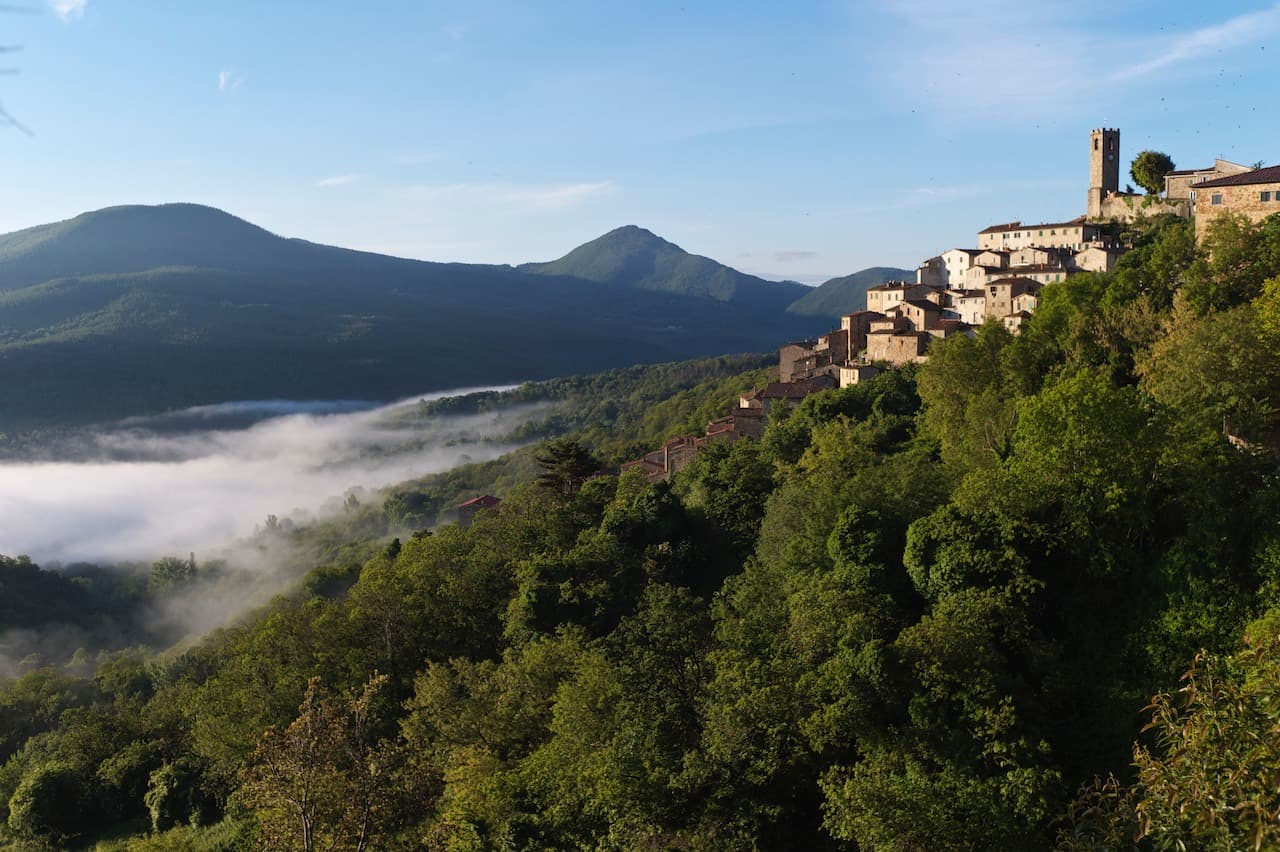
A copper and geothermal borgo at 576 meters in the Cecina valley, where natural steam vents and medieval towers sit on the same hill.
Known for
FUMAROLE
Natural steam vents around Sasso Pisano, hissing through the stone streets and staining them yellow with sulfur.
COPPER MINES
Medieval and modern copper extraction under the Republic of Pisa, active in the surrounding hills into the twentieth century.
CHESTNUTS
Apennine subsistence crop still harvested on the slopes above town, with autumn sagre across the comune.
When to visit
Best · Apr–Oct
- J
- F
- M
- A
- M
- J
- J
- A
- S
- O
- N
- D
- Best
- Hot or crowded
- Quiet
- Mostly closed
Why come
Castelnuovo di Val di Cecina sits at 576 meters on a high spur above the Cecina river, in the geothermal heart of Tuscany. The hills around the town are scored with fumaroles and boiling pools, the soffioni that Francesco Larderel learned to harness in 1818 a few kilometers down the road. Sasso Pisano, a frazione of the comune, has natural steam vents in its streets and the Parco delle Fumarole, where the ground hisses in winter and stains the stone yellow with sulfur.
The medieval village was a copper-mining center under the Republic of Pisa and the Aldobrandeschi, and the surviving towers of the centro storico mark the boundary of the old ore concession. The Rocca Sillana, a Pisan-Florentine fortress at 528 meters on the next ridge over, surveys the entire upper Cecina valley. The chestnut, a crop that defined Apennine subsistence, is still harvested on the surrounding slopes each October.
The Sunday letter
We haven’t written Castelnuovo di Val di Cecina’s letter yet.
One town every Sunday, with the photo, the food, the festa. Be there when this one comes up. Free, by Peter & Sophia from Pietrasanta.
By subscribing you agree to Substack’s Terms of Use, our Privacy Policy and our Information collection notice.
What to see
Centro storico
Medieval village laid out around the old copper-mining concession, with surviving towers and stone houses at 576 meters.
Parco delle Fumarole di Sasso Pisano
Natural steam vents and boiling pools on the slopes around Sasso Pisano, the geothermal landscape that defined Tuscan industry.
Rocca Sillana
Pisan-Florentine fortress at 528 meters on the next ridge, with a pentagonal keep and views over the upper Cecina valley.
Pieve di San Bartolomeo
Medieval parish church at the heart of the centro storico, with a Romanesque stone façade.
Biolago di Sasso Pisano
Natural thermal pool fed by the fumarole field, open to bathers, water temperature varying with the season.
The slow-trip planner
Building a trip? Find where Castelnuovo di Val di Cecina fits in a slow Italy circuit.
Answer five questions. We will shape a geographically coherent slow trip from the 1,000 Italian towns most travelers skip. Yours to save and share.
Living here
- Population 2,064
- Off the beaten pathi
- Pharmacy in town
- High school within a 30-minute drive
- Nearest airport Florence / Pisa, 1 h 47 min drive
- Regional capital Firenze, 1 h 44 min drive
This is a thermal town — terme operate here.
Tags & datadesignations · numbers · sources
Recognised as
The numbers
- Elevation: 576 m
- Population: 2,064
- Surface area: 89.02 km²
These figures were compiled from public directories — ISTAT, OpenStreetMap, Wikidata — and from the official listings of the guides named on this page. Town details change; verify with official sources before you travel.
Close by
More towns near Castelnuovo di Val di Cecina
Massa Marittima
Province: Grosseto
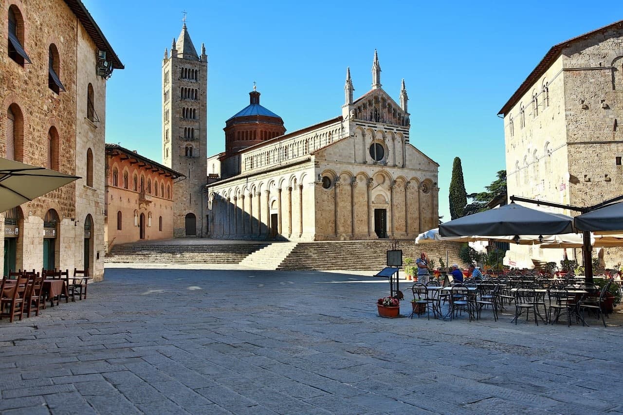
A medieval mining town at 380 meters in the Colline Metallifere, free commune from 1255 to 1337, whose cathedral holds the relics of San Cerbone.
Campiglia Marittima
Province: Livorno
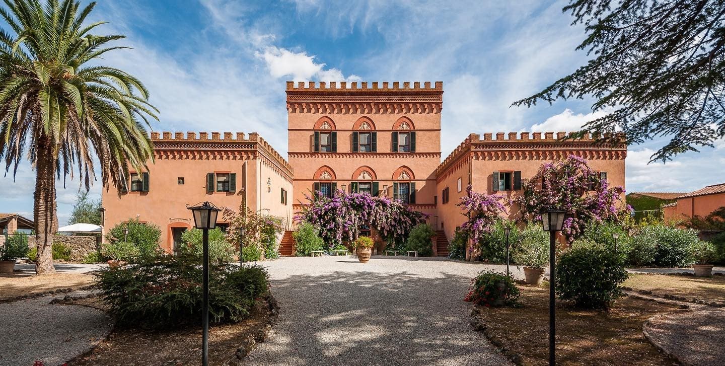
A walled hilltop borgo above the Val di Cornia, where the Rocca tower watches a mining landscape worked from the Etruscans to 1976.

Volterra
Province: Pisa
The Etruscan acropolis of Velathri at 531 meters, the alabaster town that has been carving the same stone for three thousand years.
Suvereto
Province: Livorno
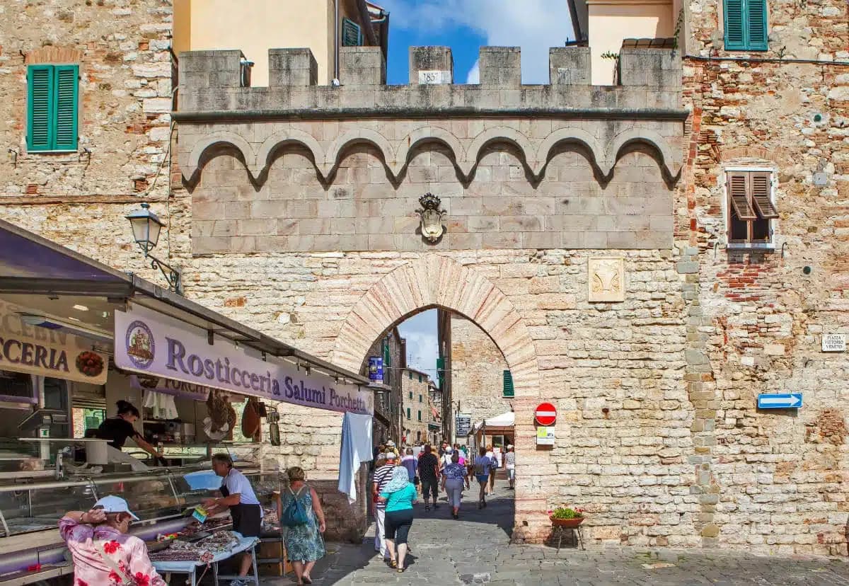
A stone borgo at 127 meters above the Val di Cornia, named for the cork oaks of its forests and ruled from the Rocca Aldobrandesca since 973.
Chiusdino
Province: Siena
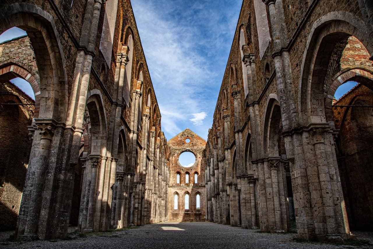
A medieval village at 564 meters in the Val di Merse where Galgano Guidotti plunged his sword into a rock in 1180 and the roofless Cistercian abbey grew up below.
🟠 Bandiera Arancione
More Bandiera Arancione towns in Tuscany
Abetone Cutigliano
Province: Pistoia
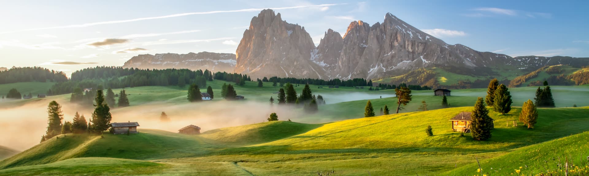
The Apennine ski pass at 1,388 meters where the Granduca's two stone pyramids of 1778 mark the old Tuscan-Modenese border.
Anghiari
Province: Arezzo
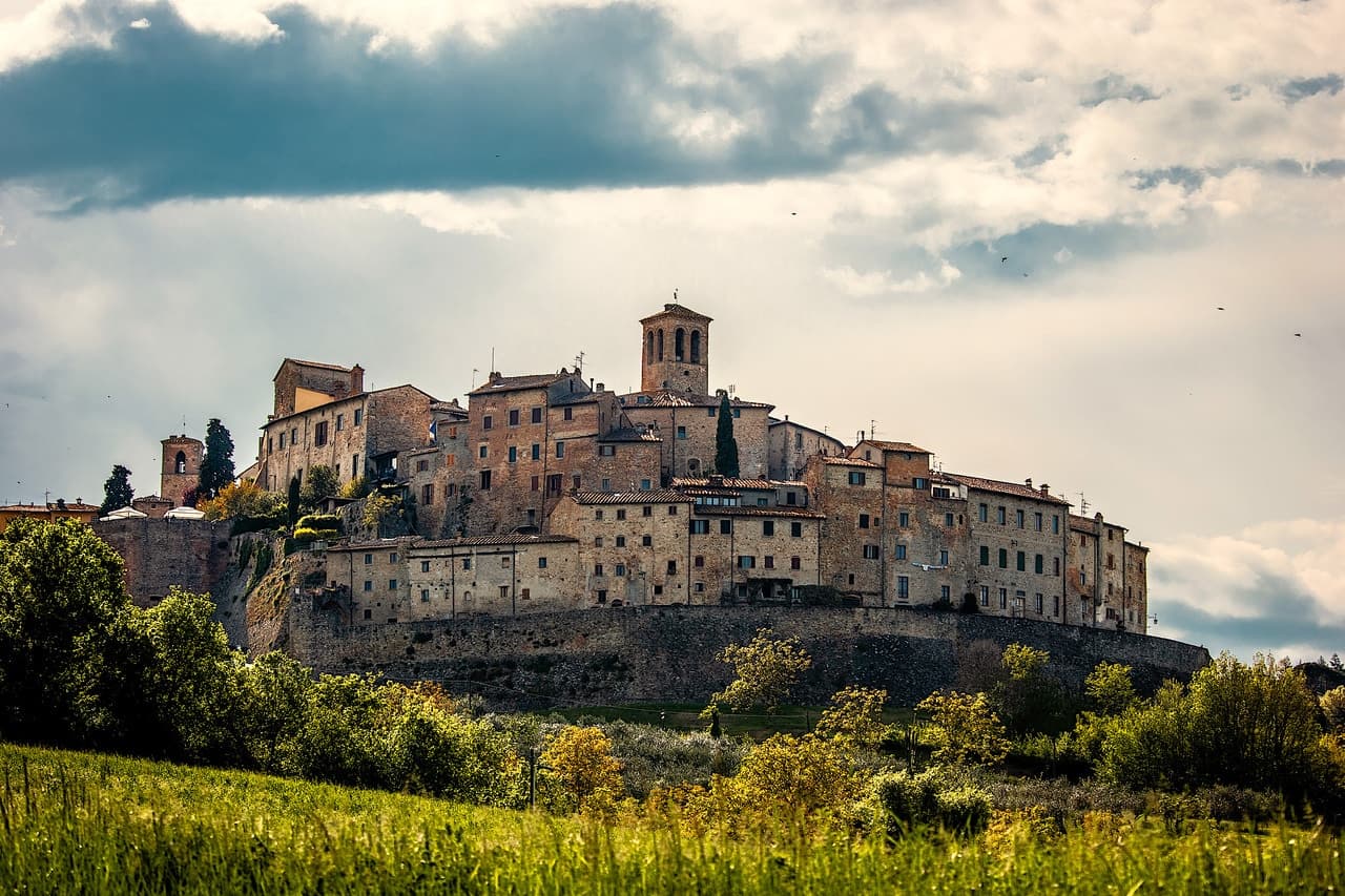
A walled medieval town at 430 meters over the upper Tiber valley, where Florence beat Milan in 1440 and Leonardo started the fresco he never finished.
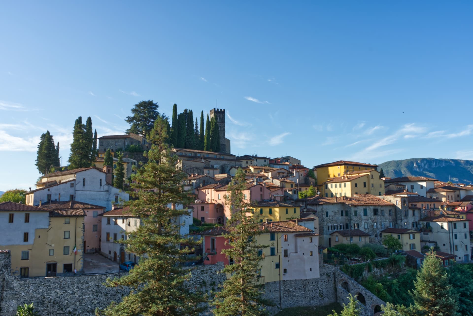
Barga
Province: Lucca
A medieval hilltop town at 410 meters in the Serchio valley between the Apuan Alps and the Apennines, where Giovanni Pascoli wrote his last poems and the August festival serves fish and chips.
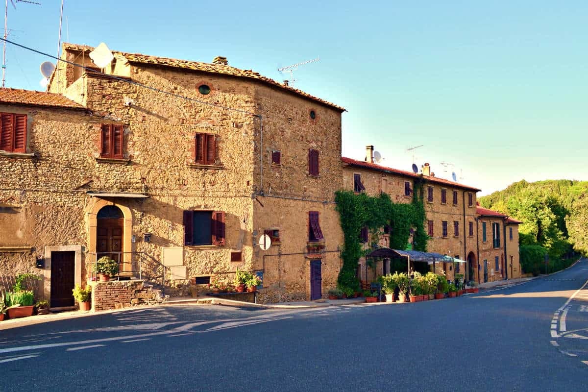
Casale Marittimo
Province: Pisa
A concentric stone borgo at 214 meters above the Val di Cecina, built where a seventh-century BC Etruscan outpost of Volterra once stood.
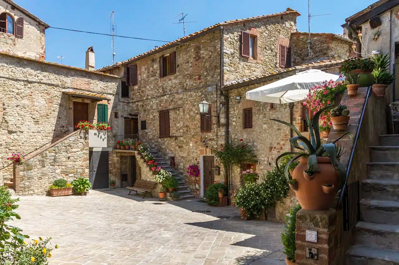
Castelnuovo Berardenga
Province: Siena
A Chianti Classico commune at 351 meters between the Ombrone and the Crete Senesi, the last castle Siena built against Florence, in 1366.