

Lombardy · Bergamo
Gromo
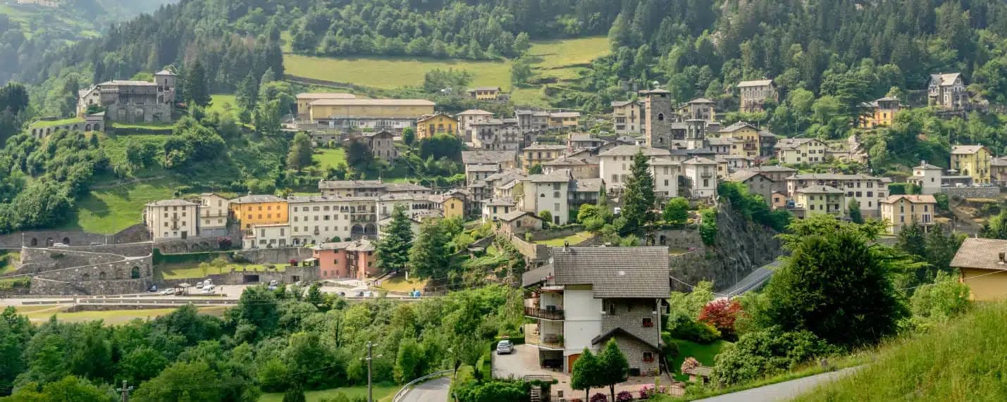
A medieval iron-forging town at 676 meters on a rock spur above the Serio, once called the little Toledo for its sword smiths.
Known for
LITTLE TOLEDO
Medieval forges produced swords, daggers and armor exported across Lombardy, earning Gromo the name piccola Toledo.
CASTELLO GINAMI
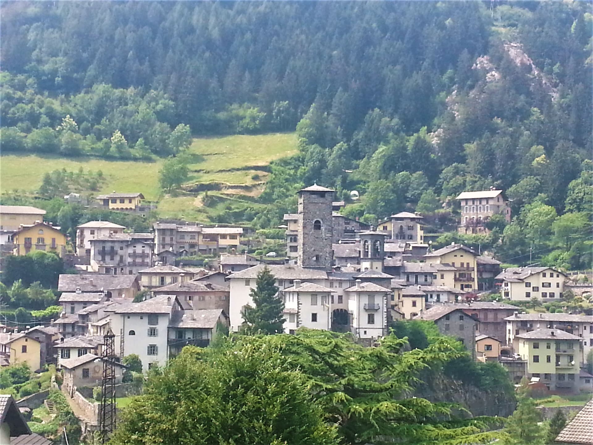
Thirteenth-century fortress on the rock spur above the village, built by the Buccelleni family and later held by the Ginami.
SILVER MINES
Local veins supplied the Bergamo mint until the fourteenth century, funding the stone palazzi that still line the centro storico.
When to visit
Best · May–Oct
- J
- F
- M
- A
- M
- J
- J
- A
- S
- O
- N
- D
- Best
- Hot or crowded
- Quiet
- Mostly closed
Why come
Gromo sits at 676 meters on a rocky spur above the right bank of the Serio, forty kilometers northeast of Bergamo in the upper Seriana Valley. In the Middle Ages, the village was called the little Toledo: its forges produced swords, daggers, halberds, shields and cuirasses exported across Lombardy and beyond, powered by the current of the stream below. Silver mining in nearby veins fed the Bergamo mint until the fourteenth century.
With the official act of 12 February 1267, Gromo gained autonomy and the rights to sell its metals. The Castello Ginami, built on the rock in the first half of the thirteenth century by the Buccelleni and later passed to the Ginami family, still dominates the village. The Chiesa di San Giacomo, fifteenth century, holds gilded altars, sixteenth-century frescoes, wooden statues and old parchments. In winter, the Spiazzi di Gromo plateau above town runs alpine and cross-country skiing; in summer, the same valleys feed trekking into the Orobie.
The Sunday letter
We haven’t written Gromo’s letter yet.
One town every Sunday, with the photo, the food, the festa. Be there when this one comes up. Free, by Peter & Sophia from Pietrasanta.
By subscribing you agree to Substack’s Terms of Use, our Privacy Policy and our Information collection notice.
What to see
Castello Ginami
Thirteenth-century fortress on a rock spur, built by the Buccelleni and passed to the Ginami in the sixteenth century, modified into the seventeenth.
Chiesa di San Giacomo
Fifteenth-century parish church above the historic centre, with gilded altars, sixteenth-century frescoes, wooden statues and ancient parchments.
Piazza Dante
Medieval square at the heart of the borgo, lined with stone palazzi and the surviving defensive walls of the iron-working town.
Spiazzi di Gromo
High plateau above the village with alpine and cross-country ski slopes in winter and trekking trails into the Orobie in summer.
Valle del Goglio
Side valley running northwest into the Orobie above the town, used historically to power the forges of the medieval ironworks.
The slow-trip planner
Building a trip? Find where Gromo fits in a slow Italy circuit.
Answer five questions. We will shape a geographically coherent slow trip from the 1,000 Italian towns most travelers skip. Yours to save and share.
Living here
- Population 1,141
- Off the beaten pathi
- Pharmacy: none mapped
- Nearest high school over ~30 minutes away
- Nearest airport Milan, 1 h 7 min drive
- Regional capital Milano, 1 h 49 min drive
Tags & datadesignations · numbers · sources
The numbers
- Elevation: 676 m
- Population: 1,141
- Surface area: 20.07 km²
These figures were compiled from public directories — ISTAT, OpenStreetMap, Wikidata — and from the official listings of the guides named on this page. Town details change; verify with official sources before you travel.
Close by
More towns near Gromo
Clusone
Province: Bergamo
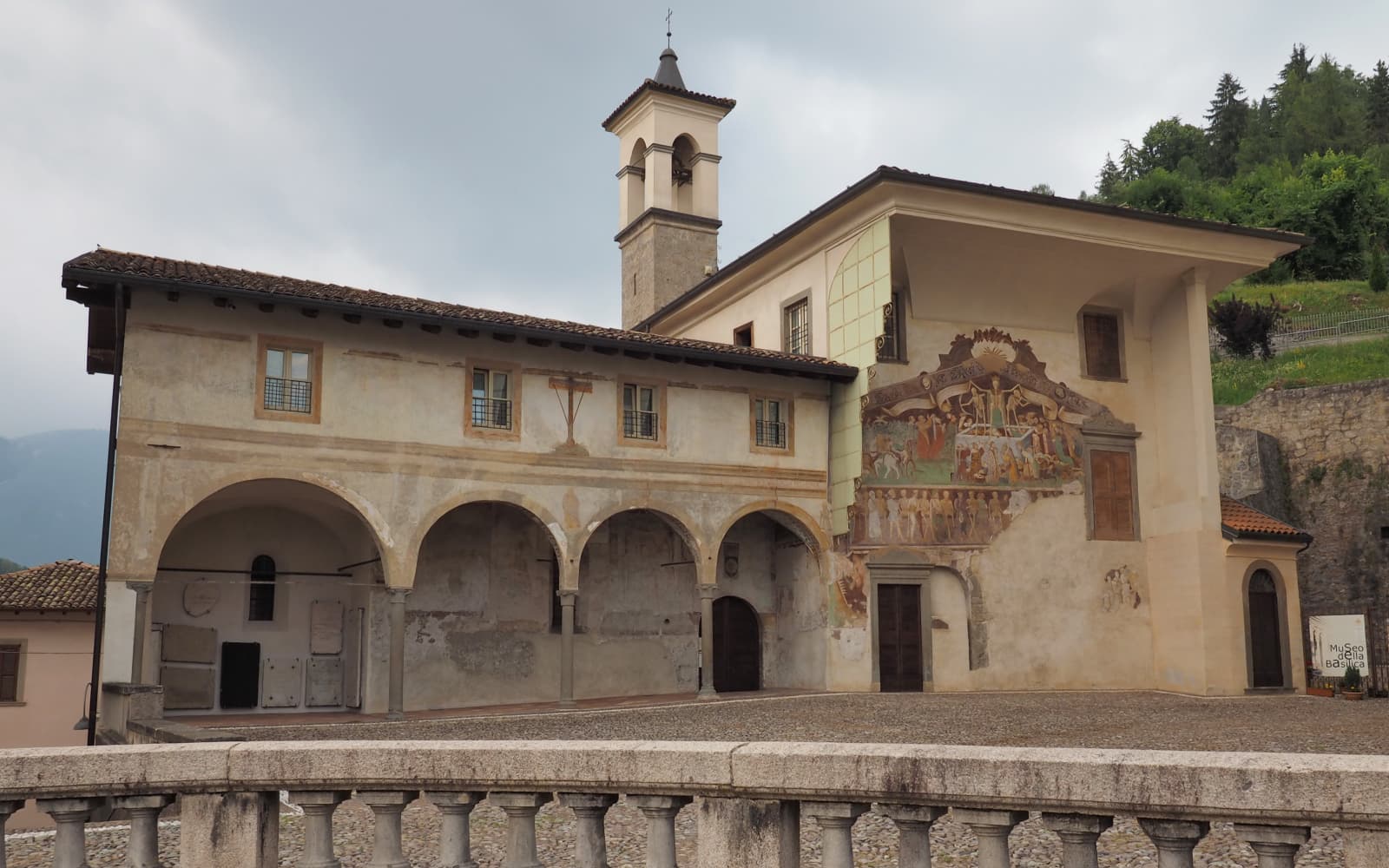
At 648 meters in upper Val Seriana, capital of the macabre fresco and the 1583 planetary clock above its civic tower.
Castione della Presolana
Province: Bergamo
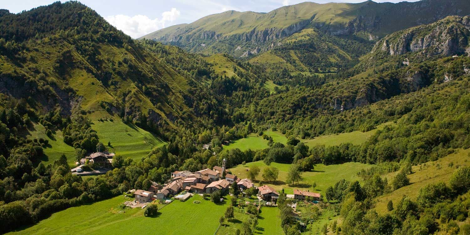
A high-valley commune at 870 meters under the Pizzo della Presolana, the limestone peak the Bergamasque call the Queen of the Orobie.
Lovere
Province: Bergamo
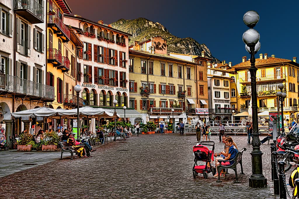
An amphitheater town at the north end of Lake Iseo, in Borghi più belli since 2003, with Canova plasters inside the Accademia Tadini.
Bergamo
Province: Bergamo
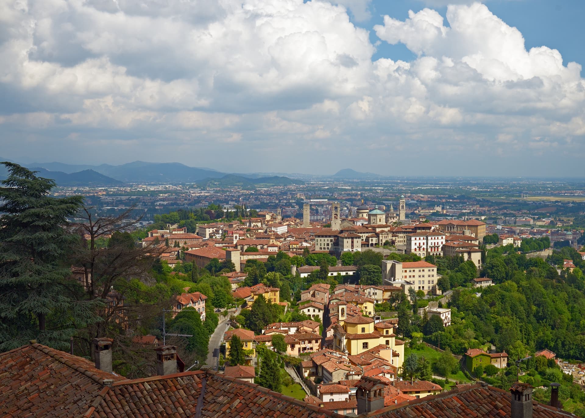
A two-city Lombard capital where a Venetian walled hilltown sits 85 meters above its modern twin on the plain, 45 kilometers northeast of Milan.
Darfo Boario Terme
Province: Brescia
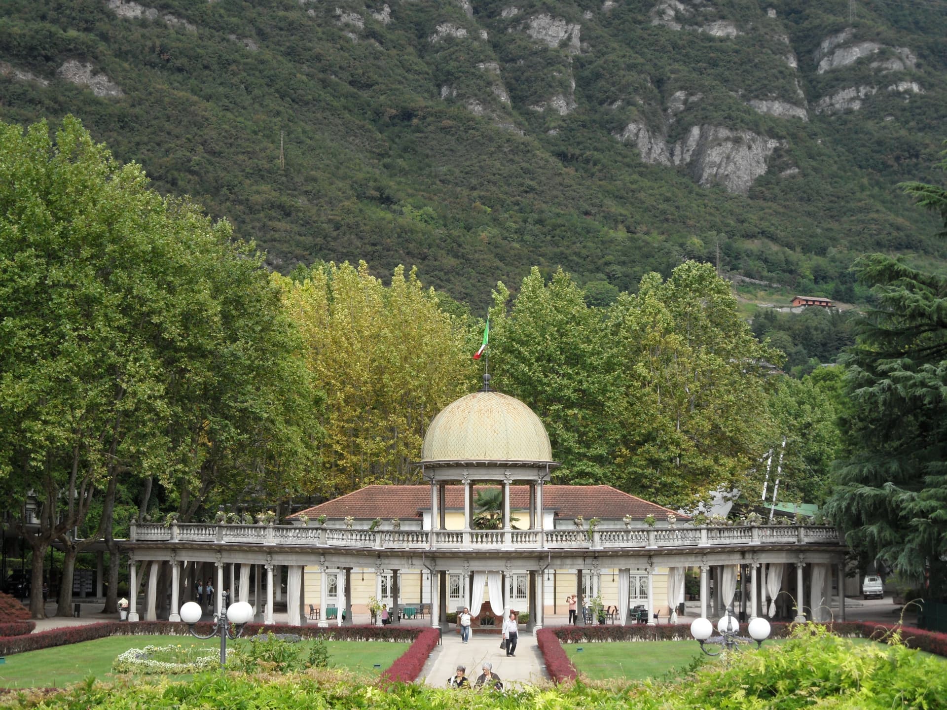
At the mouth of the Valle Camonica, an Art Nouveau spa town next to one of the first UNESCO rock-engraving sites in Italy.
🎨 Borghi più belli d'Italia
More Borghi più belli d'Italia towns in Lombardy
Bagolino
Province: Brescia
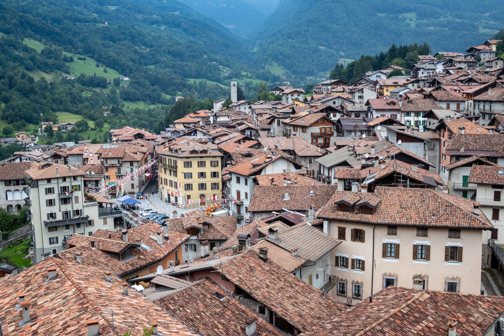
A mountain village at 778 meters in the Valle del Caffaro, with a three-day February carnival of masked dancers and violins.
Bellano
Province: Lecco
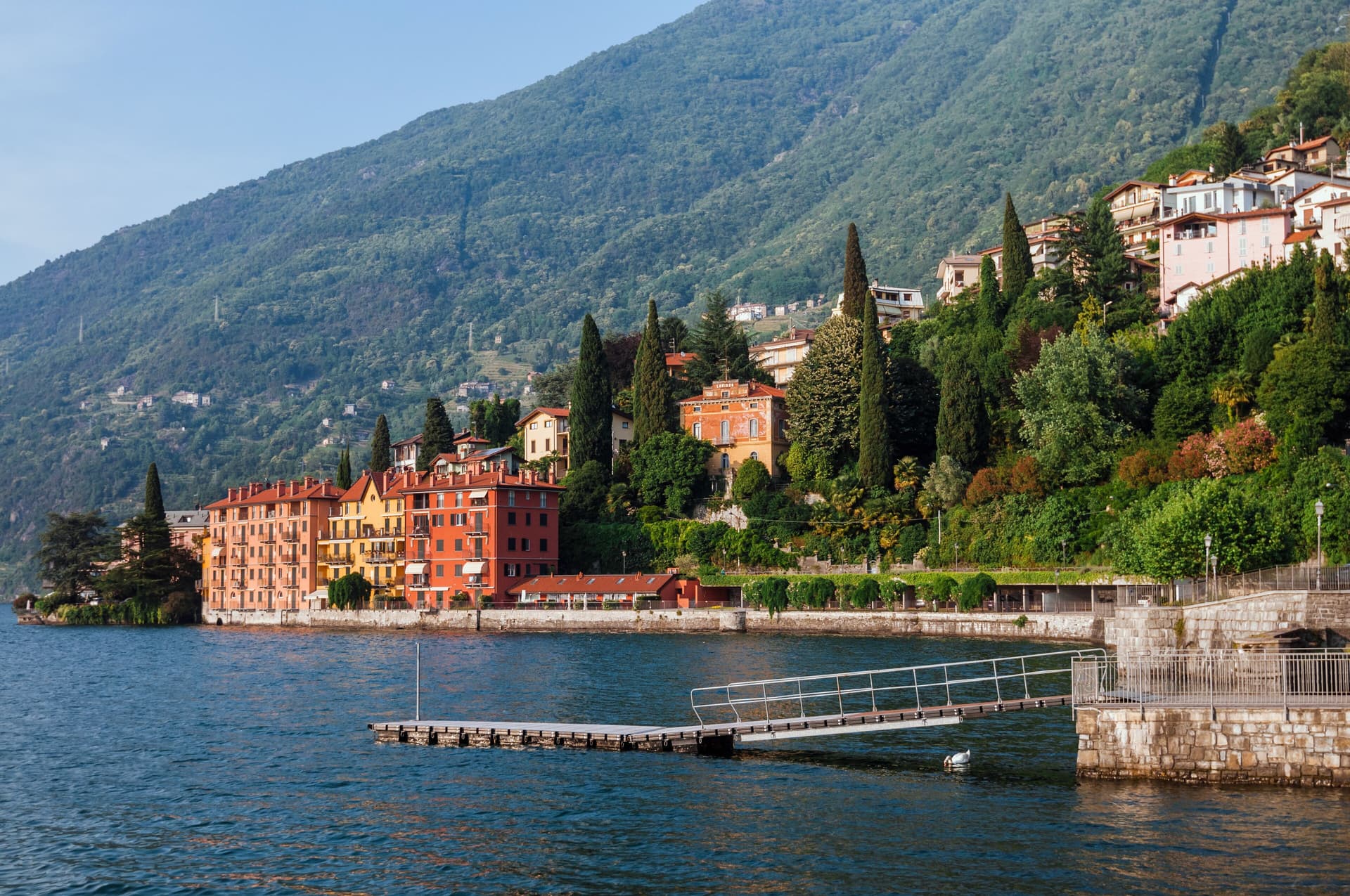
An eastern Lake Como town where the Pioverna cut a gorge through fifteen million years of rock before reaching the lake.
Bienno
Province: Brescia
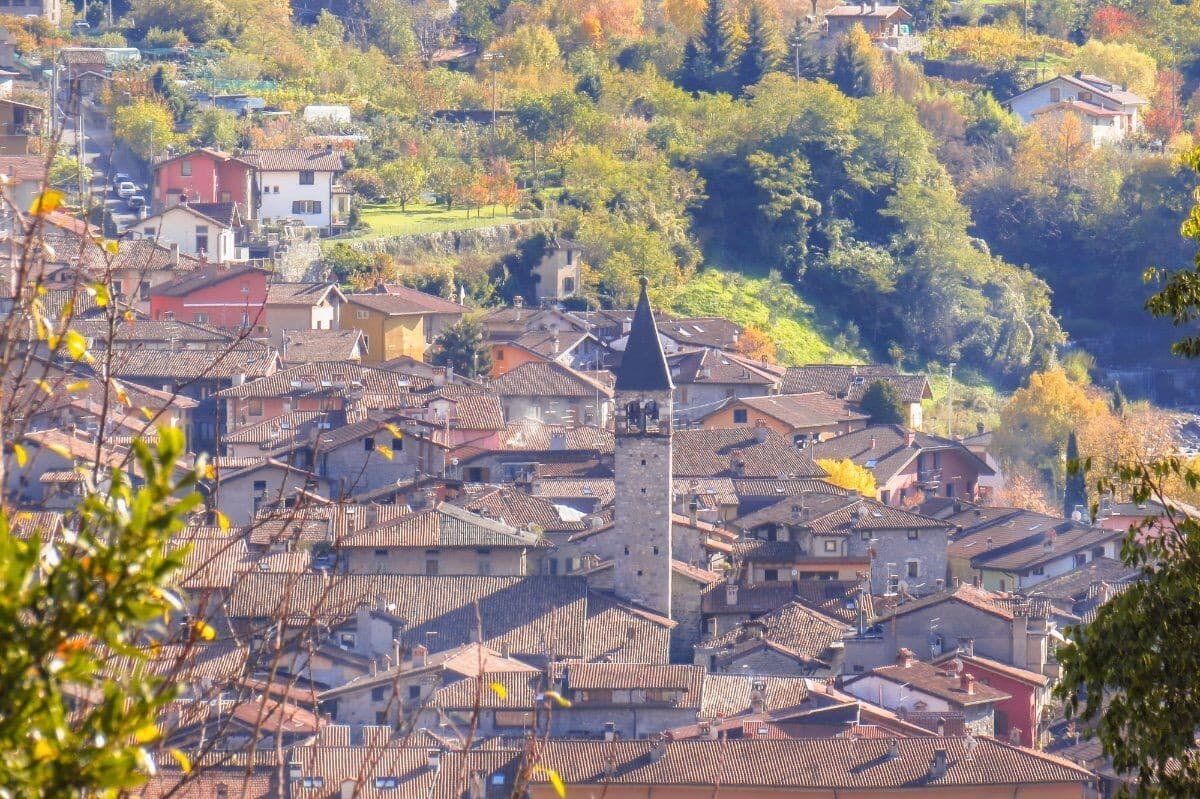
A medieval ironworking village in the Val Camonica, where water hammers driven by the Grigna stream have shaped wrought iron since the 1200s.
Cassinetta di Lugagnano
Province: Milano
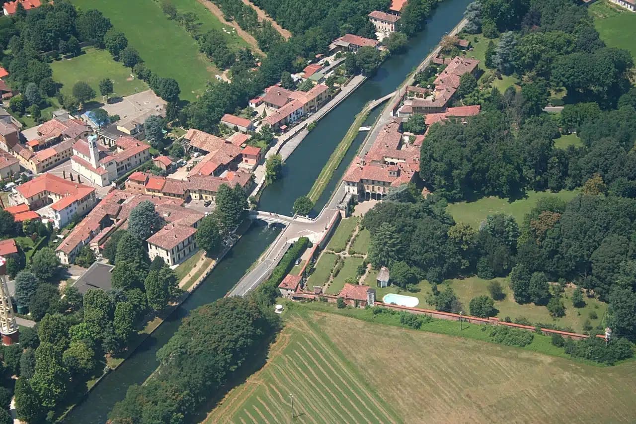
A Naviglio Grande commune west of Milan with fifteen ville di delizia and Italy's first zero-growth urban plan, adopted in 2007.
Castellaro Lagusello
Province: Mantova
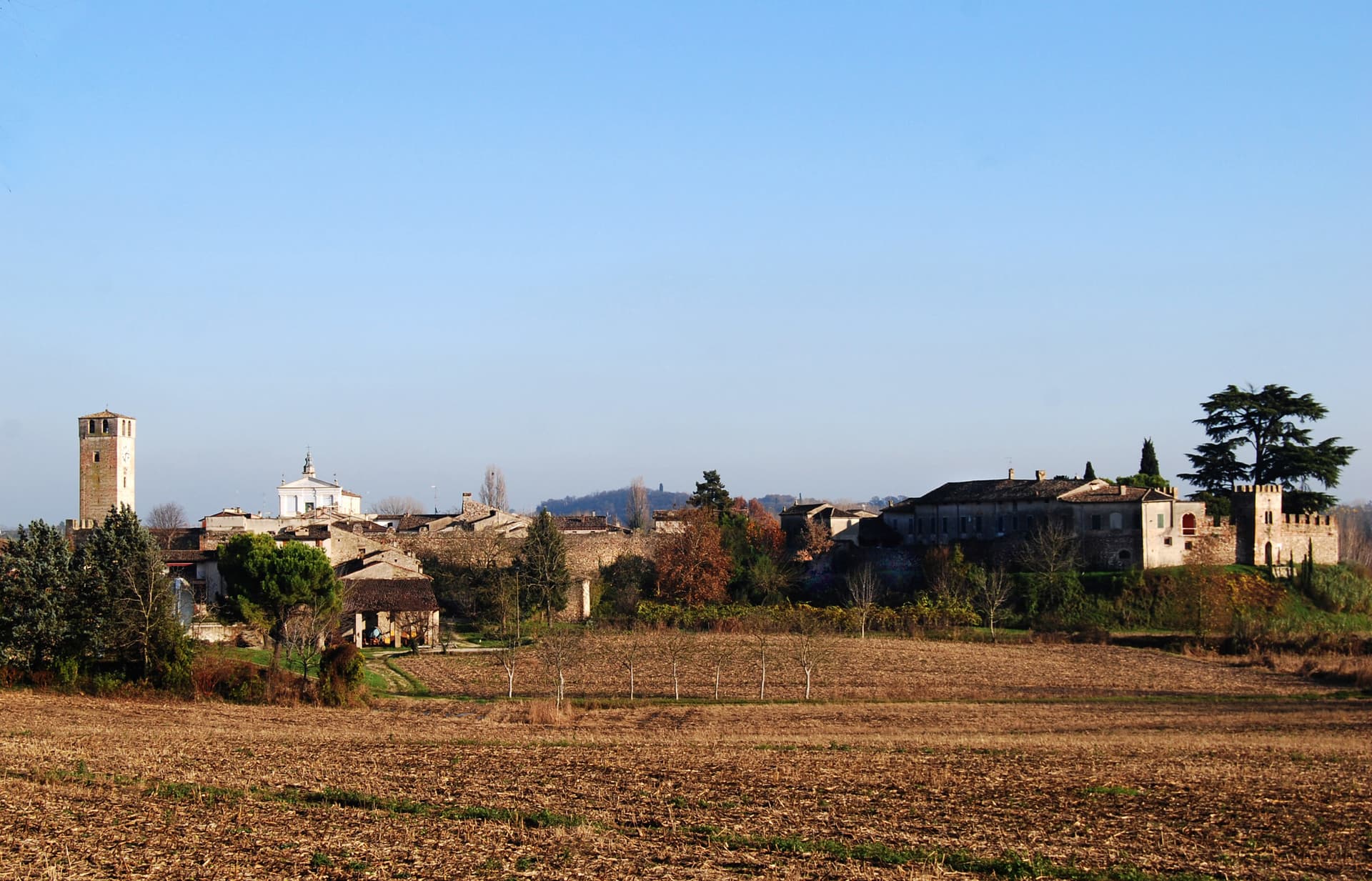
A walled medieval borgo south of Lake Garda, ringed by 13th-century stone walls and overlooking a small heart-shaped natural lake that gives the village its second name and most-photographed silhouette.