
Sicily · Catania
Nicolosi
The southern gateway to Etna at 698 meters, twice destroyed by the 1669 eruption, base camp for the volcano cable car at Rifugio Sapienza.
Known for
PORTA DELL'ETNA
Southern gateway to the volcano, base camp for the Funivia dell'Etna at Rifugio Sapienza and the largest concentration of Etna guides in Sicily.
MONTI ROSSI
Two-hundred-meter scoria cones above the town, formed by the 1669 eruption that buried part of Nicolosi and pushed lava all the way to Catania.
CITTASLOW
Cittaslow member commune with Città dell'Olio and Città del Pane labels, mountain bread, Etna honey and southern slope olive groves.
When to visit
Best · May–Oct
- J
- F
- M
- A
- M
- J
- J
- A
- S
- O
- N
- D
- Best
- Hot or crowded
- Quiet
- Mostly closed
The festa: Antonio di Padova, 13 June
Why come
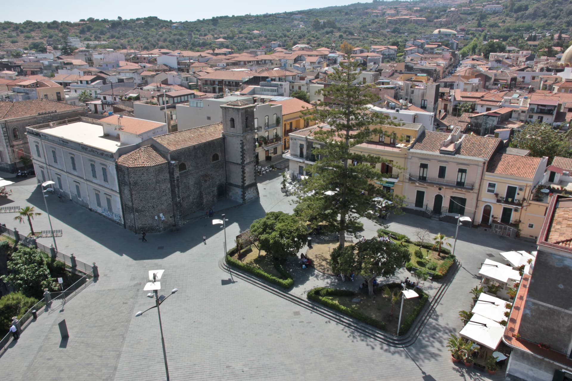
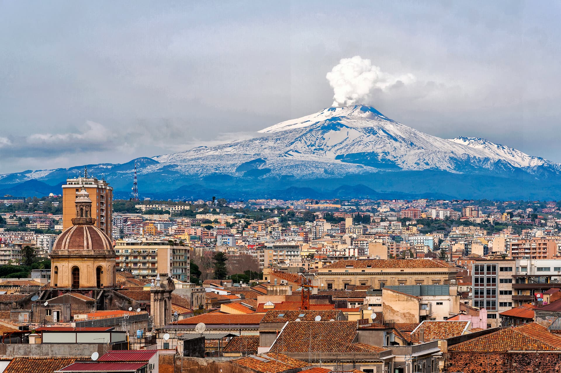
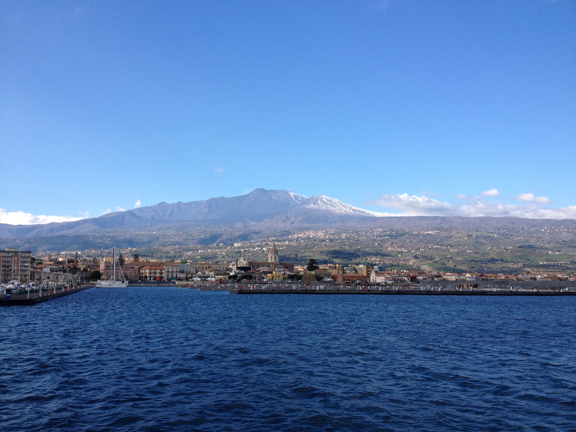
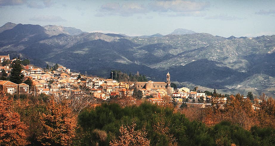
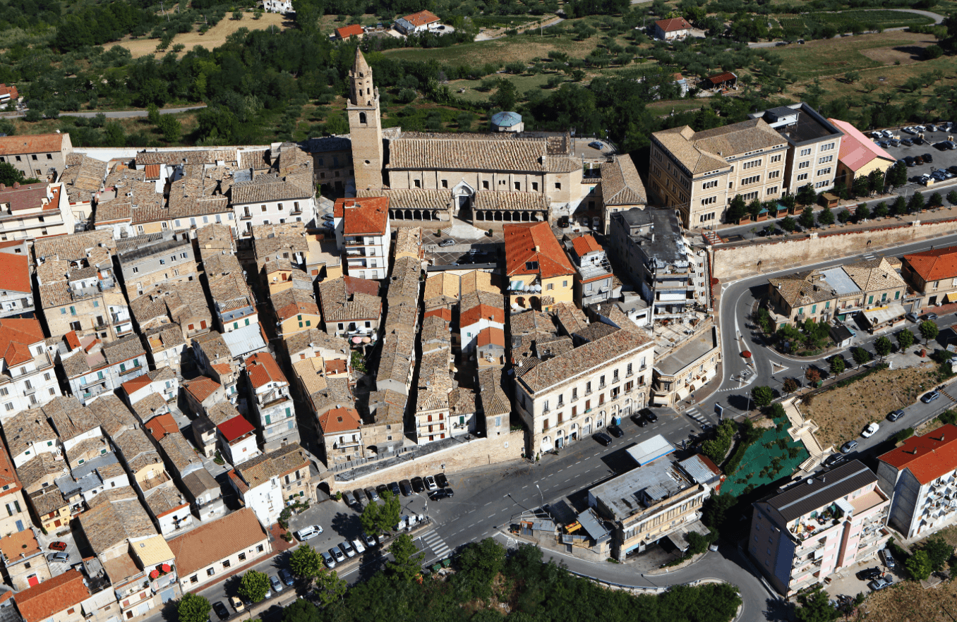
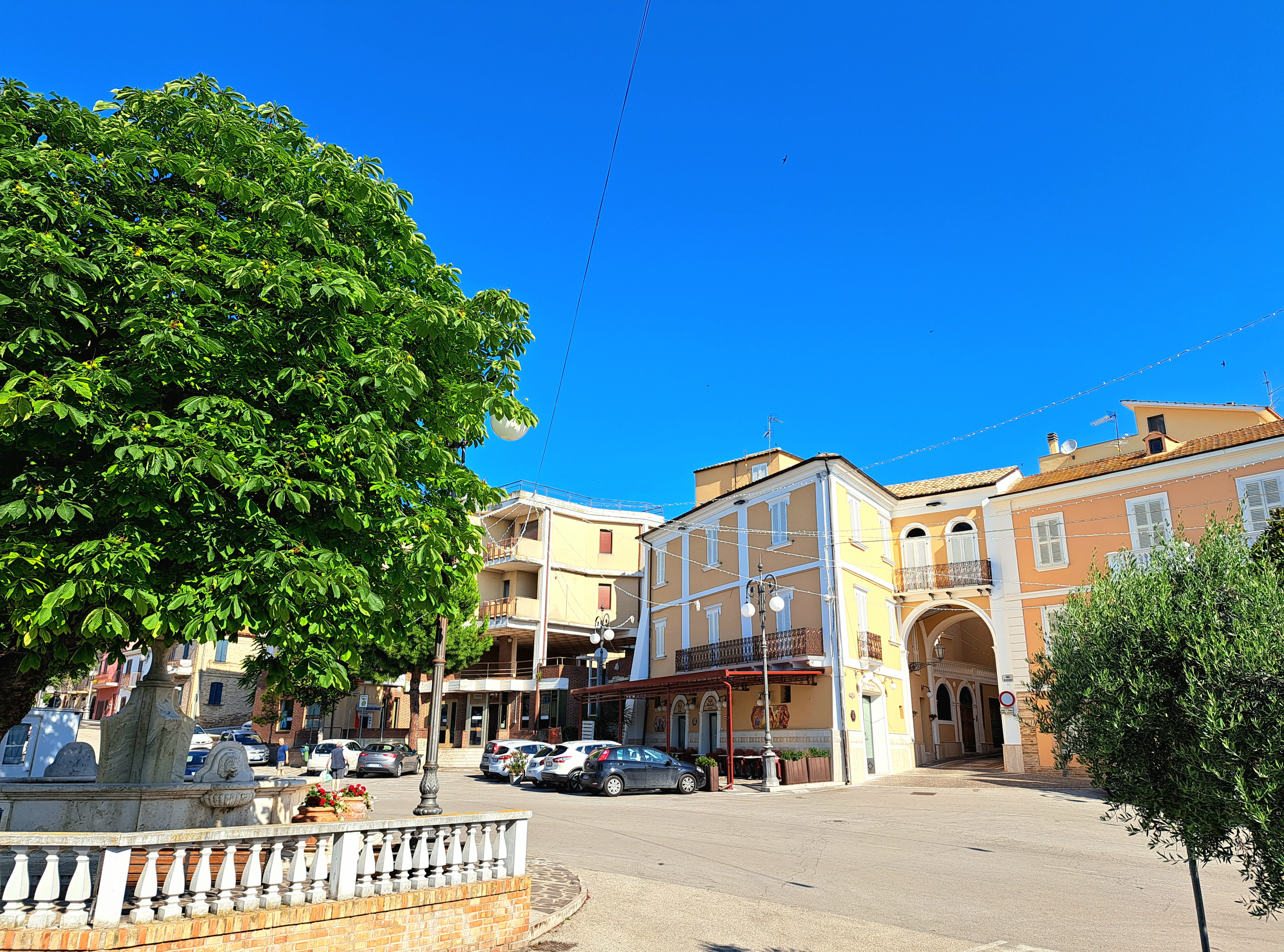
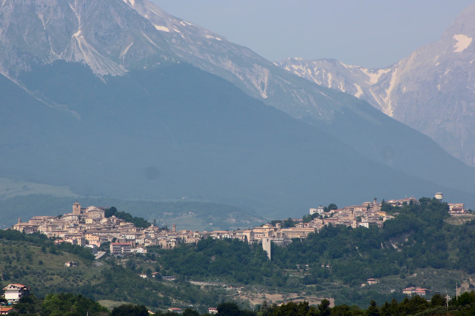
Nicolosi sits at 698 meters on the southern slope of Etna, twelve kilometers north of Catania, where the road to Rifugio Sapienza and the volcano cable car begins. The town was founded in 1359 around the Benedictine monastery of San Nicolò l'Arena. In March 1669 a fissure opened above Nicolosi and Etna erupted for four months.
Lava buried part of the town and pushed all the way to Catania harbor; what remained was rebuilt around the Chiesa di Santa Maria delle Grazie, which the flow spared. The Monti Rossi above the town are the two-hundred-meter scoria cones the eruption left behind, first called Monte della Ruina and later renamed for their color. Today Nicolosi is a Cittaslow with the largest concentration of Etna outfitters and 4x4 guides in Sicily, and the Funivia dell'Etna rises from Rifugio Sapienza at 1,920 meters, twenty minutes uphill.
The Sunday letter
We haven’t written Nicolosi’s letter yet.
One town every Sunday, with the photo, the food, the festa. Be there when this one comes up. Free, by Peter & Sophia from Pietrasanta.
By subscribing you agree to Substack’s Terms of Use, our Privacy Policy and our Information collection notice.


What to see
Monti Rossi
Twin scoria cones rising two hundred meters above the town, formed by the 1669 eruption that buried part of Nicolosi and reached Catania harbor.
Funivia dell'Etna a Rifugio Sapienza
Cable car from Rifugio Sapienza at 1,920 meters up to 2,500 meters, twenty minutes uphill from Nicolosi, the start of the southern Etna ascent.
Chiesa di Santa Maria delle Grazie
Mother church the 1669 lava flow spared, around which the town was rebuilt, partly restored after later seismic damage.
Museo Vulcanologico dell'Etna
Civic vulcanological museum on the road to the cable car, with eruption photographs, lava samples and seismograph readings from the southern Etna stations.
Parco dell'Etna
Regional and UNESCO-listed park surrounding the town, with the Schiena dell'Asino ridge and access to the south crater trails from Nicolosi north.
The slow-trip planner
Building a trip? Find where Nicolosi fits in a slow Italy circuit.
Answer five questions. We will shape a geographically coherent slow trip from the 1,000 Italian towns most travelers skip. Yours to save and share.
Living here
- Population 7,594
- Off the beaten pathi
- Pharmacy in town
- High school within a 30-minute drive
- Nearest airport Sicily, 39 min drive
- Regional capital Palermo, 2 h 59 min drive
Tags & datadesignations · numbers · sources
The numbers
- Elevation: 698 m
- Population: 7,594
- Surface area: 42.65 km²
These figures were compiled from public directories — ISTAT, OpenStreetMap, Wikidata — and from the official listings of the guides named on this page. Town details change; verify with official sources before you travel.
Close by
More towns near Nicolosi
Aci Castello
Province: Catania
A coastal town just north of Catania on the Riviera dei Ciclopi, where the basalt headland holds the 1076 Norman Castello d'Aci and the seven volcanic Faraglioni dei Ciclopi rise from the sea — the rocks the Cyclops threw at Odysseus in Homer's Odyssey.
Giarre
Province: Catania
An Etna town that split from Mascali in 1815 and built a neoclassical duomo, with two bell towers framing the volcano behind it.
Catania
Province: Catania
Sicily's second city and the cultural anchor of the Ionian coast — a UNESCO late-Baroque centro storico rebuilt in lava-black stone after the 1693 earthquake, sitting at the foot of Etna with a 17th-century elephant fountain (U Liotru) as its civic symbol.
Riposto
Province: Catania
The Ionian port whose name comes from the Sicilian for cellar, where the wine of Mascali and Giarre was stored before shipping.
Sant'Alfio
Province: Catania
An Etna village at 537 meters where the world's largest and oldest chestnut tree has been measured at over 57 meters in girth.
🐌 Cittaslow
More Cittaslow towns
Città Sant'Angelo
Province: Pescara
A hilltop borgo at 320 meters between the Vestina hills and the Adriatic, named for the Archangel and known since 1352 as a Collegiata seat.
Controguerra
Province: Teramo
A 267-meter Val Vibrata wine village, seat of the Controguerra DOC since 1996, and a founding Cittaslow of the Teramo hills.
Guardiagrele
Province: Chieti
The 576-meter terrazza d'Abruzzo on the Majella's foothills, hometown of fifteenth-century goldsmith Nicola da Guardiagrele and seat of the Majella park.
Penne
Province: Pescara
The brick city at 438 meters between the Tavo and Fino, ancient capital of the Vestini, rebuilt after Allied bombing and awarded the Silver Medal of Civic Merit.
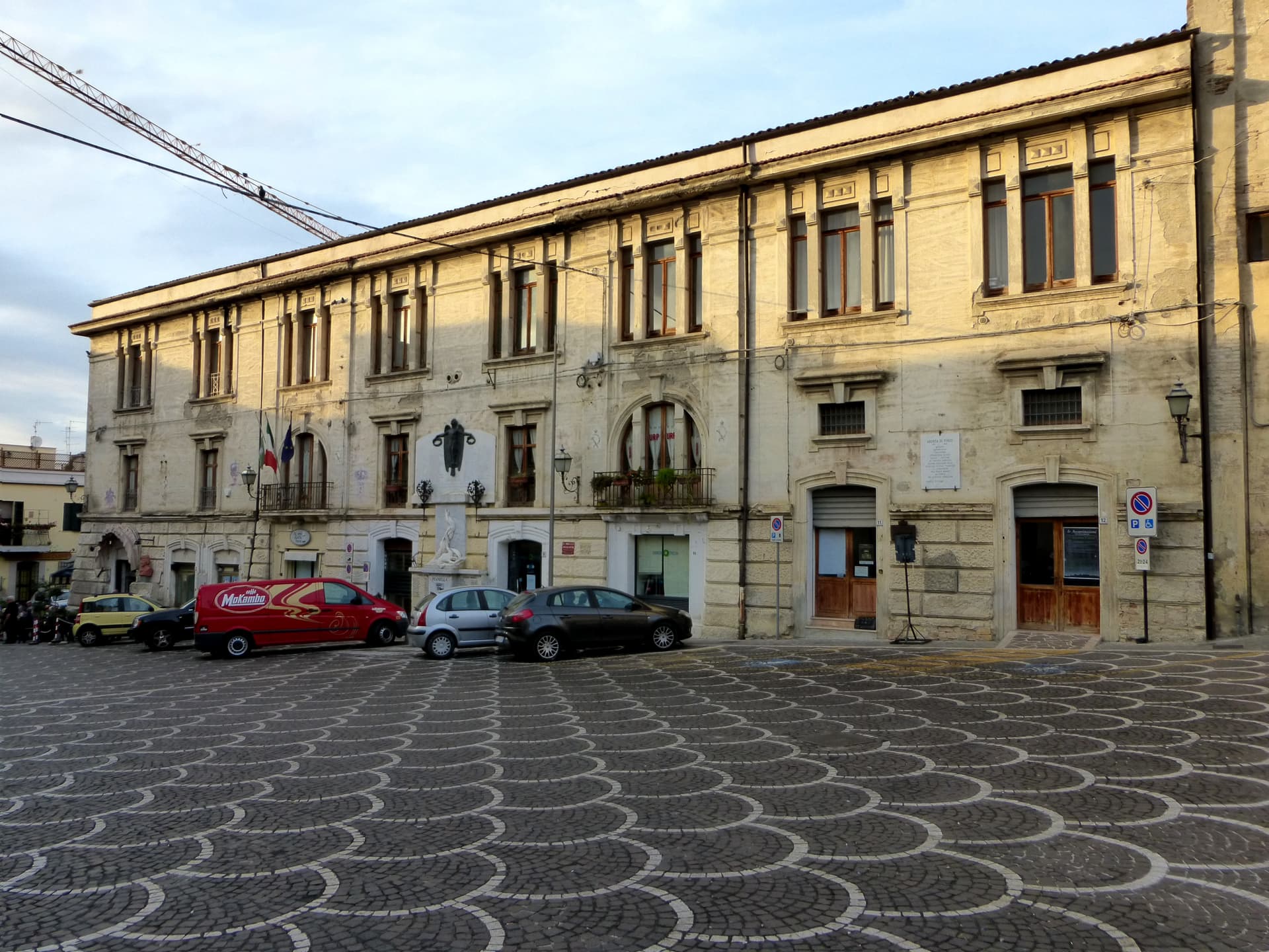
Pianella
Province: Pescara
A Cittaslow hill town at 236 meters between the Tavo and Pescara rivers, anchor of the Aprutino oil triangle and home of the dritta olive.