

Sicily · Catania
Giarre
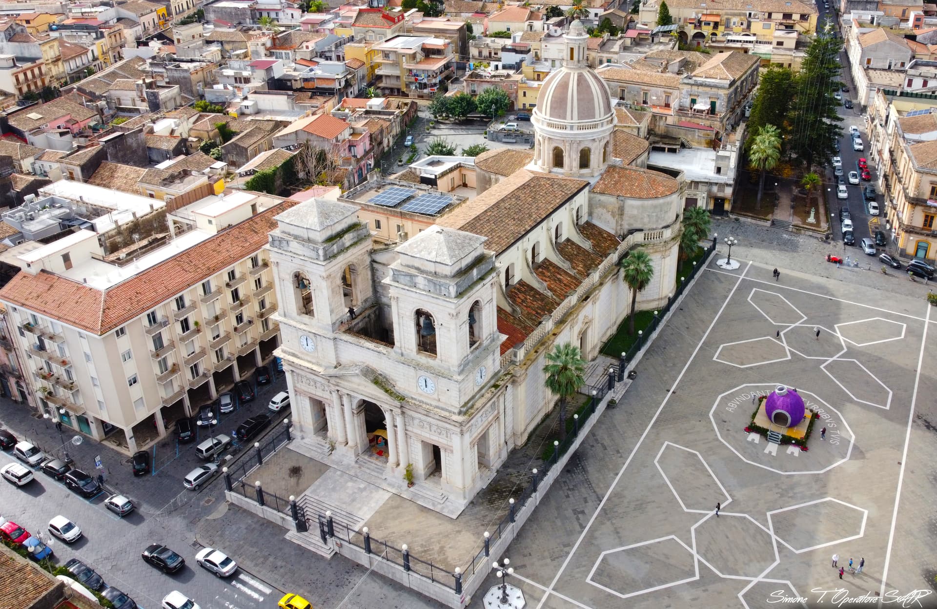
An Etna town that split from Mascali in 1815 and built a neoclassical duomo, with two bell towers framing the volcano behind it.
Known for
THE DUOMO
Neoclassical Sant'Isidoro Agricola, begun 1794, with bell towers finished only in 1890 and major collections of Sicilian sacred silver.
GIARRE-RIPOSTO
Conurbation with Riposto on the coast, merged as Jonia under fascism from 1939 to 1945 and split again after the war.
CIRCUMETNEA
Junction between the Catania-Messina coastal railway and the narrow-gauge Ferrovia Circumetnea that loops around the volcano.
When to visit
Best · May–Oct
- J
- F
- M
- A
- M
- J
- J
- A
- S
- O
- N
- D
- Best
- Hot or crowded
- Quiet
- Mostly closed
The festa: Isidoro l'Agricoltore, 15 May
Why come
Giarre sits on the lower eastern slope of Etna at eighty metres, thirty kilometres north of Catania and three from the sea at Riposto. From the late sixteenth century until 1815 it was a village of the county of Mascali; it separated after the abolition of feudalism and built itself a town centre in the decades that followed. The Duomo di Sant'Isidoro Agricola, begun in 1794 and opened for worship in 1818, is the result: a neoclassical mother church in white stone, with a large central nave, two lateral naves, a transept, and a dome with lantern.
The two bell towers, designed by the Neapolitan architect Pietro Valente, were begun in 1859 and finished only in 1890. Inside, the church holds one of the most substantial collections of sacred silverware in eastern Sicily. From 1939 to 1945 Giarre was merged with Riposto under the fascist name Jonia. The two towns still form a single conurbation along the coast.
The Sunday letter
We haven’t written Giarre’s letter yet.
One town every Sunday, with the photo, the food, the festa. Be there when this one comes up. Free, by Peter & Sophia from Pietrasanta.
By subscribing you agree to Substack’s Terms of Use, our Privacy Policy and our Information collection notice.
What to see
Duomo di Sant'Isidoro Agricola
Neoclassical mother church begun in 1794, two bell towers by Pietro Valente, and one of eastern Sicily's largest collections of sacred silverware.
Piazza Duomo
The main square at the centre of the historic grid, with the duomo facing the foothill of Etna to the west.
Corso Italia
The principal axis of the town, running between the duomo and the open country towards Riposto and the sea.
Stazione Giarre-Riposto
Combined railway station on the Catania-Messina line, the junction with the Ferrovia Circumetnea that circles the volcano.
The slow-trip planner
Building a trip? Find where Giarre fits in a slow Italy circuit.
Answer five questions. We will shape a geographically coherent slow trip from the 1,000 Italian towns most travelers skip. Yours to save and share.
We recommend
Where to eat and stay
Not our picks, but places the guides put their name to — a Michelin star, a Gambero Rosso fork, a Slow Food snail, a Michelin Key for the hotels. Worth a table, a counter, or a night when you pass through.
Casu Osteria ContemporaneaTrattoria
Casu Osteria Contemporanea carries one Gambero Rosso prawn, plus a spot in the Michelin Guide.
Cioccolateria e Caffetteria Fabbrica FinocchiaroPasticceria
Cioccolateria e Caffetteria Fabbrica Finocchiaro holds a place on Italy's historic-locali register.
Living here
- Population 26,510
- Off the beaten pathi
- Pharmacy in town
- High school within a 30-minute drive
- Train station in the comune
- Nearest airport Sicily, 37 min drive
- Regional capital Palermo, 2 h 56 min drive
Tags & datadesignations · numbers · sources
Recognised as
The numbers
- Elevation: 81 m
- Population: 26,510
- Surface area: 27.32 km²
These figures were compiled from public directories — ISTAT, OpenStreetMap, Wikidata — and from the official listings of the guides named on this page. Town details change; verify with official sources before you travel.
Close by
More towns near Giarre
Riposto
Province: Catania
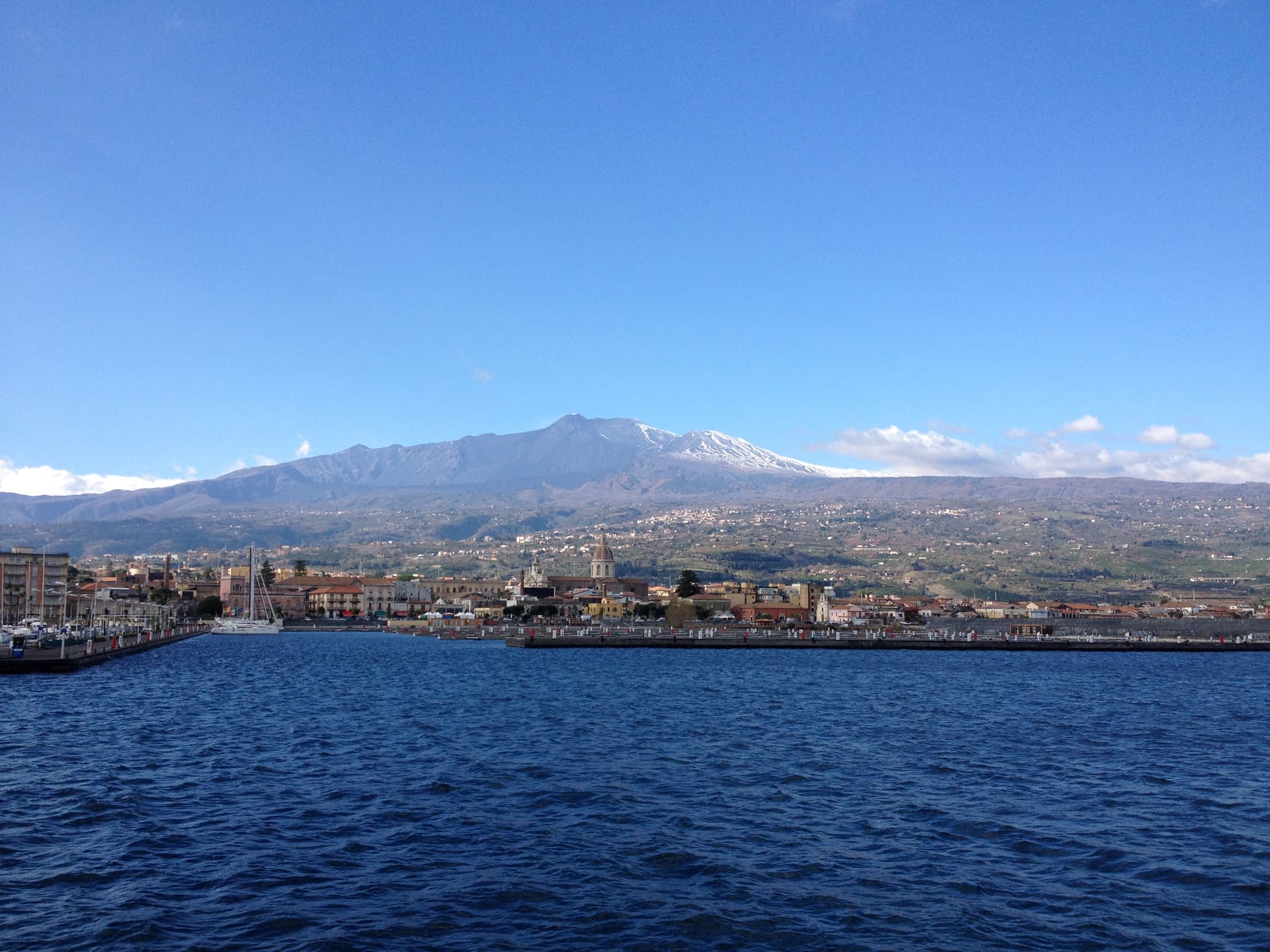
The Ionian port whose name comes from the Sicilian for cellar, where the wine of Mascali and Giarre was stored before shipping.
Sant'Alfio
Province: Catania
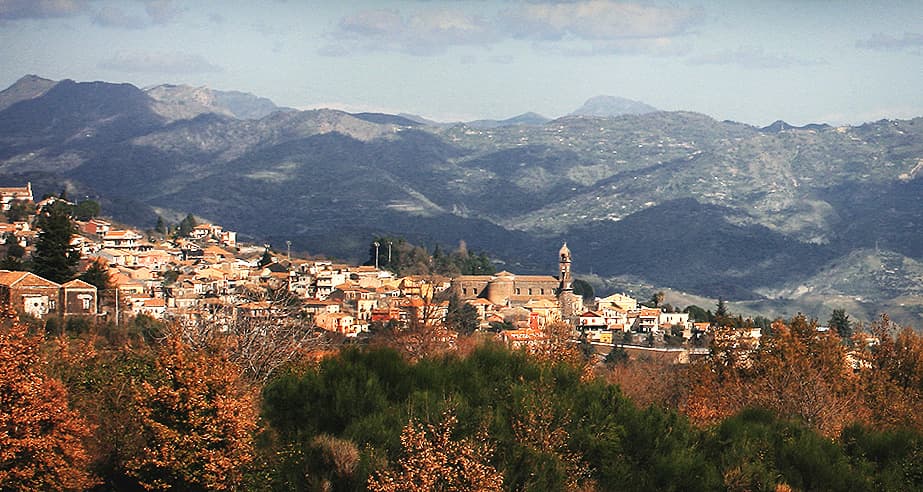
An Etna village at 537 meters where the world's largest and oldest chestnut tree has been measured at over 57 meters in girth.
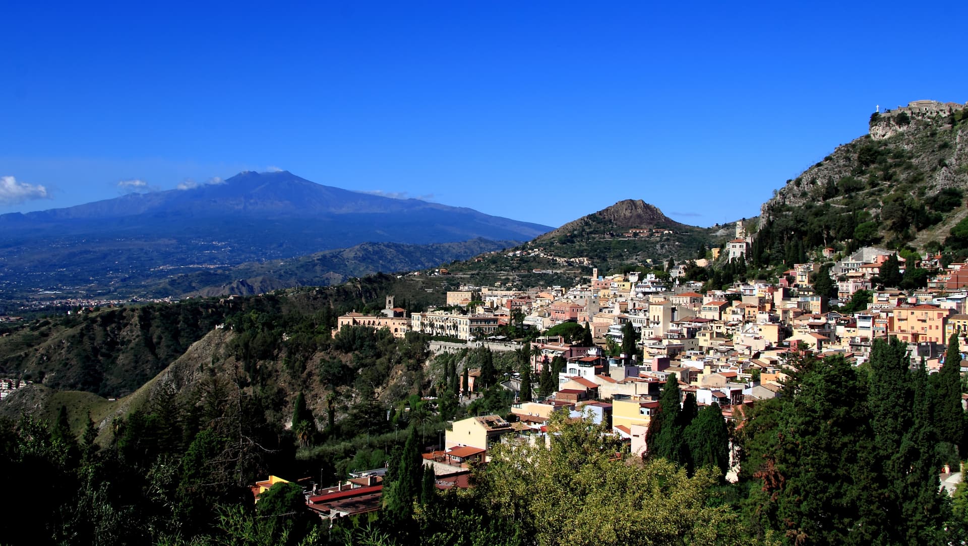
Taormina
Province: Messina
A 204-meter terrace above the Ionian with Etna on the southern horizon, a Greek-Roman theatre carved into the rock since the third century BC.
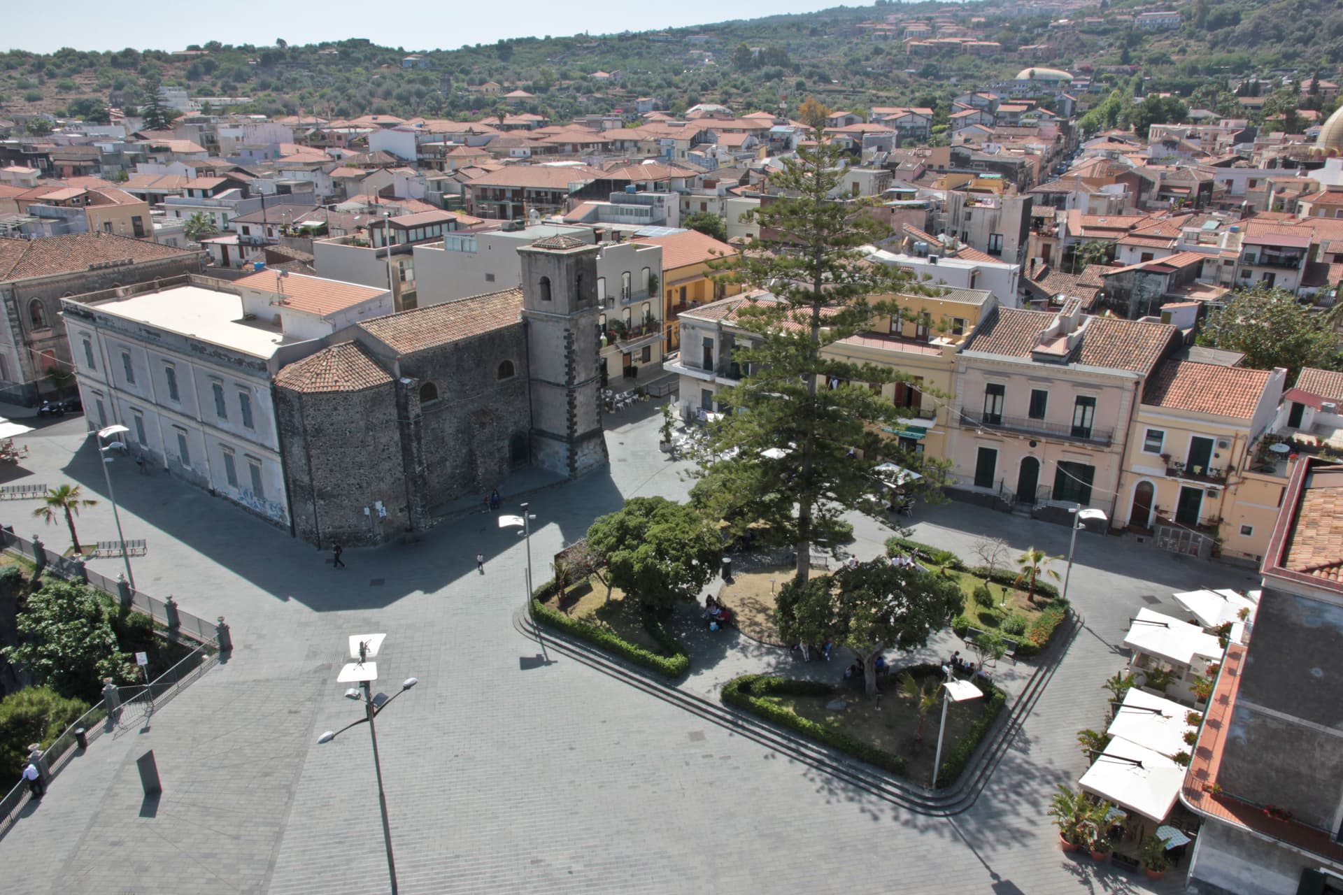
Aci Castello
Province: Catania
A coastal town just north of Catania on the Riviera dei Ciclopi, where the basalt headland holds the 1076 Norman Castello d'Aci and the seven volcanic Faraglioni dei Ciclopi rise from the sea — the rocks the Cyclops threw at Odysseus in Homer's Odyssey.
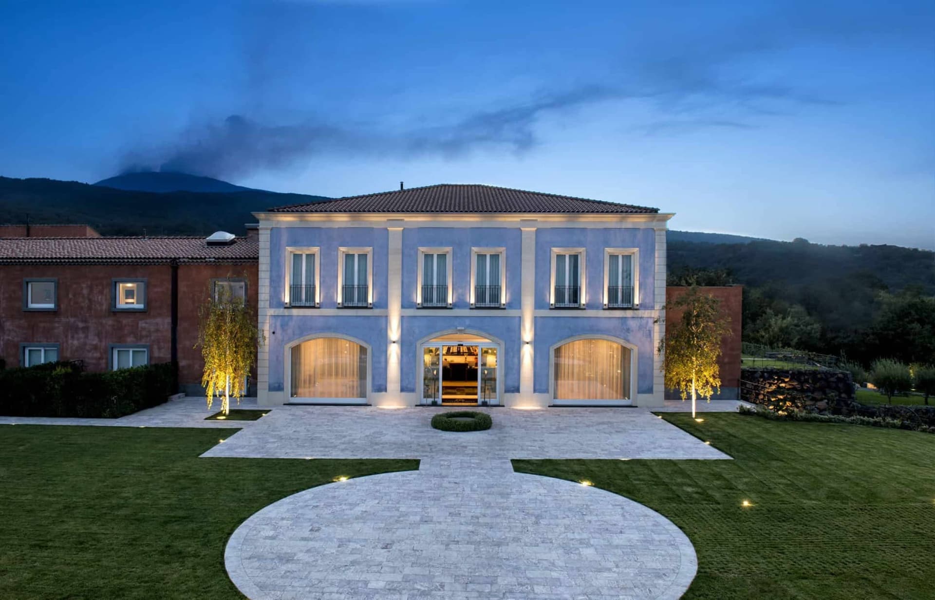
Castiglione di Sicilia
Province: Catania
A hill town on the north flank of Etna at 621 meters, base camp for the Alcantara valley and the volcano's most serious red wines.
🌳 Parco Regionale
More Parco Regionale towns in Sicily
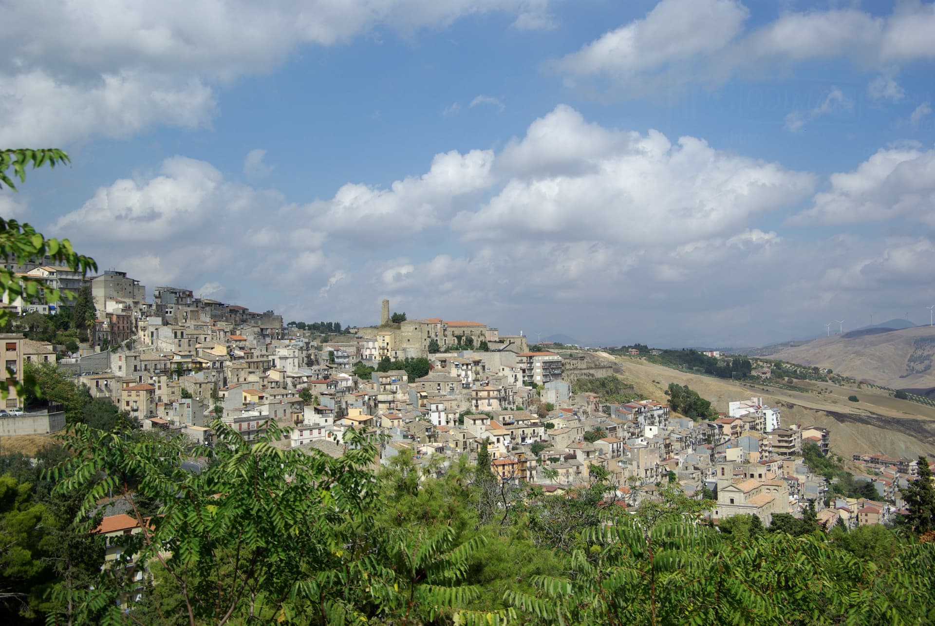
Cammarata
Province: Agrigento
A Sicani town at 700 meters on the northeast slope of Monte Cammarata, the 1,578-meter peak that gives the comune its name and shape.
Castelbuono
Province: Palermo
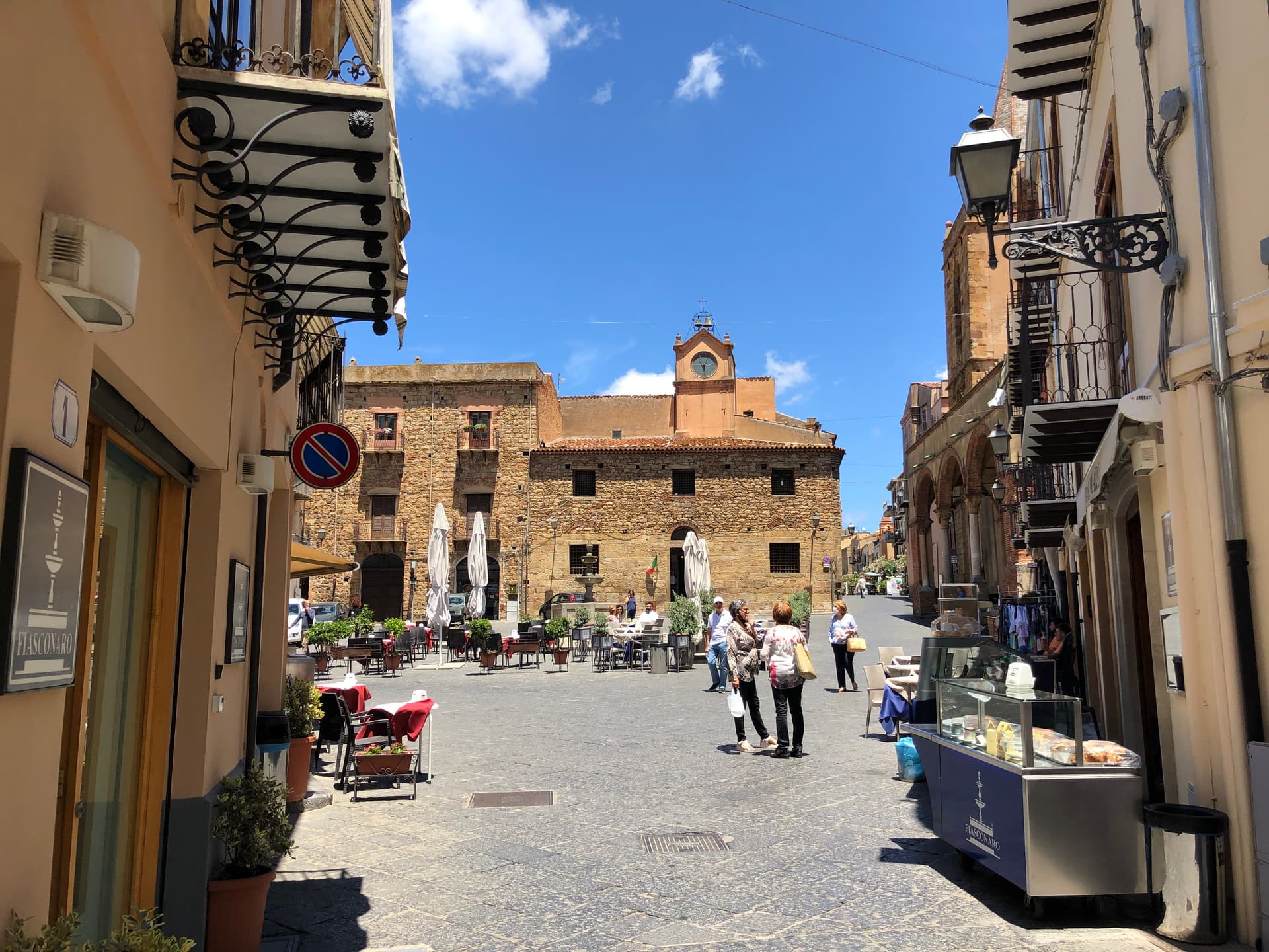
A Madonie town at 423 meters around the Ventimiglia castle, where manna is still tapped from ash trees and Fiasconaro bakes the panettone.
Cefalù
Province: Palermo
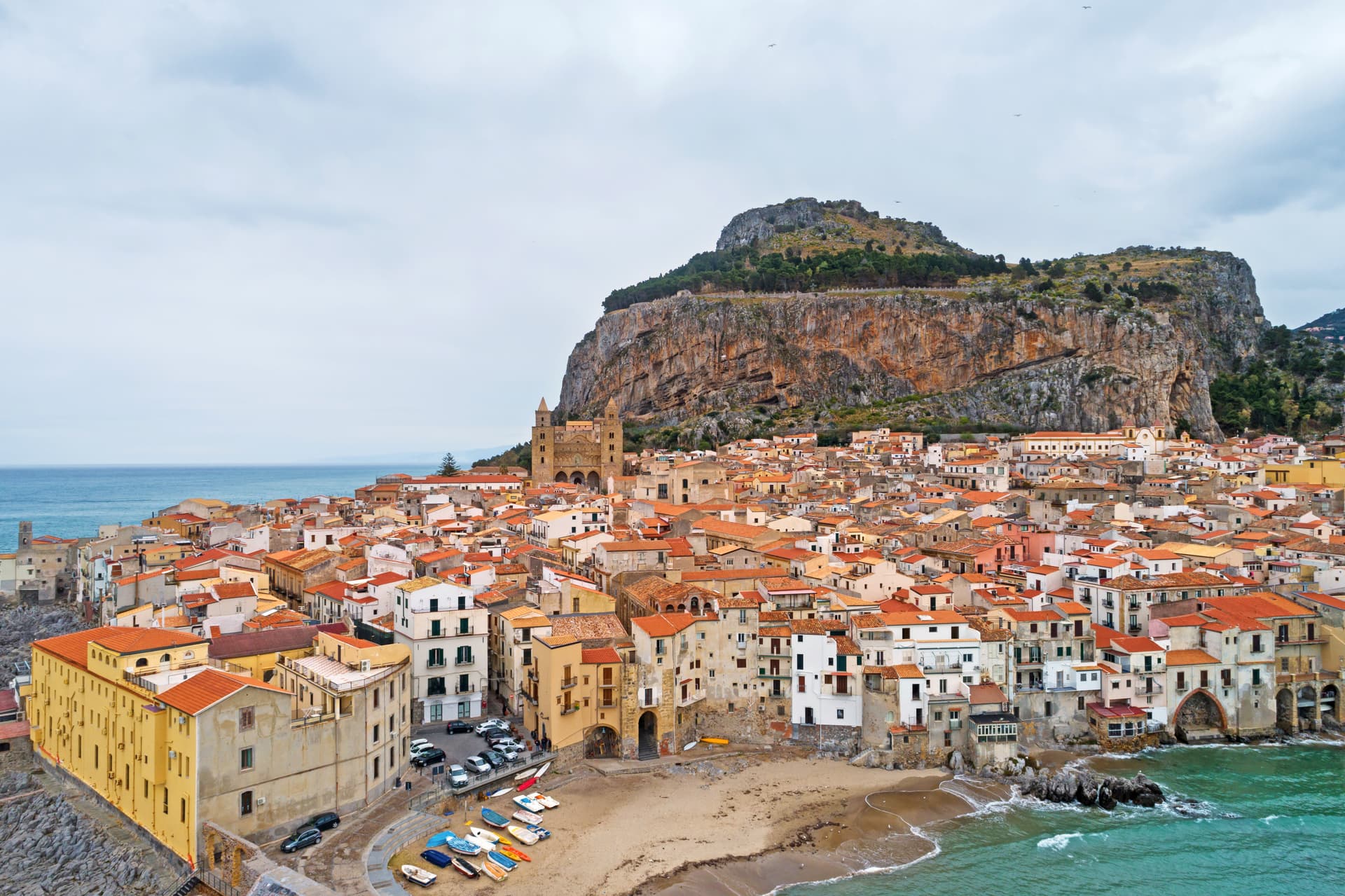
A Norman cathedral at the foot of a 270-meter rock on the Tyrrhenian coast, founded by Roger II in 1131 and on the UNESCO Arab-Norman list since 2015.
Geraci Siculo
Province: Palermo
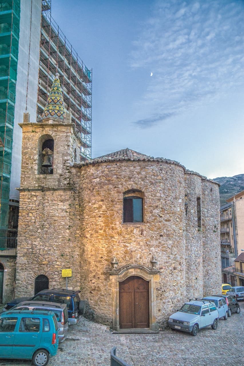
A Madonie ridge village at 1,077 meters, capital of the Ventimiglia marquisate from 1258 and the first marquisate granted in Sicily.
Nicolosi
Province: Catania
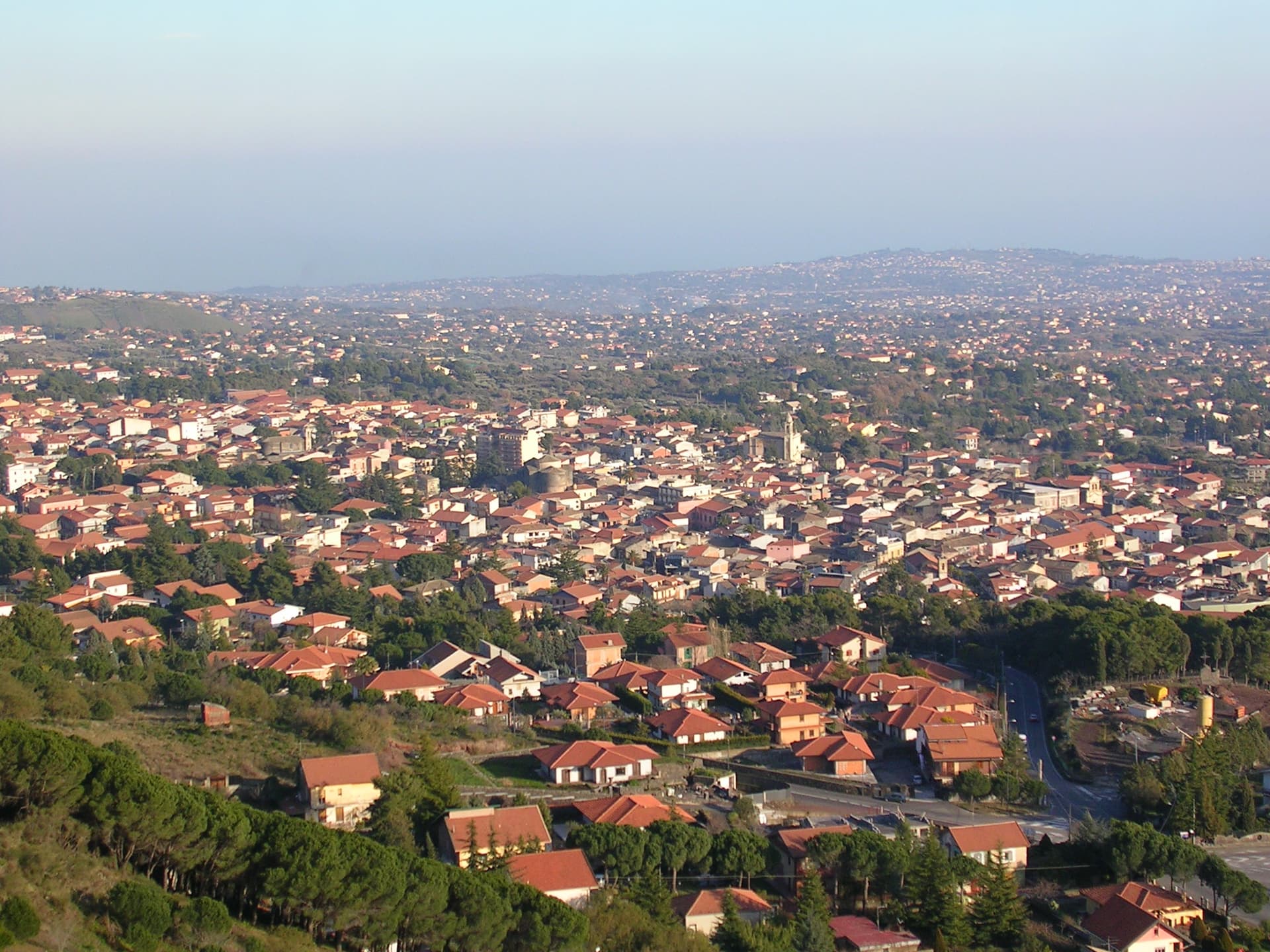
The southern gateway to Etna at 698 meters, twice destroyed by the 1669 eruption, base camp for the volcano cable car at Rifugio Sapienza.