
Trentino-South Tyrol · Trento
Molveno
The village at the north end of a deep blue alpine lake, with the Brenta Dolomites rising straight out of the water.
Known for
LAGO DI MOLVENO
Trentino's deepest lake, 124 metres, and the most decorated. Cinque Vele rated it Italy's most beautiful lake for ten consecutive years.
BRENTA DOLOMITES
The pale limestone group of Cima Tosa, Campanile Basso and Crozzon di Brenta rising straight from the western shore, inside the Adamello-Brenta park.
BANDIERA ARANCIONE
Touring Club Italiano recognition for the management of the lake, the historic centre and the relationship between village and surrounding park.
When to visit
Best · Apr–Oct
- J
- F
- M
- A
- M
- J
- J
- A
- S
- O
- N
- D
- Best
- Hot or crowded
- Quiet
- Mostly closed
The festa: Carlo Borromeo, 4 November
Why come
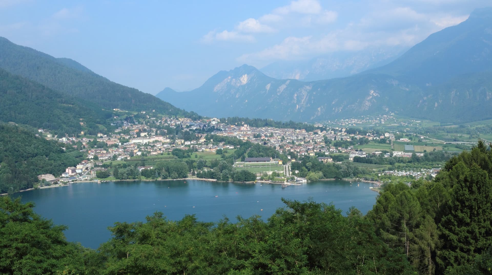
Molveno sits at 864 metres on the northern shore of Lago di Molveno, a four-kilometre lake formed by a landslide about 4,000 years ago and held in by the Brenta Dolomites on one side and Monte Paganella on the other. It is the deepest lake in Trentino, 124 metres at maximum, and second-largest in the region by surface. The Touring Club Italiano awarded Molveno the Bandiera Arancione for the management of its lake and historic centre, and the Guida Blu Cinque Vele rating has named it Italy's most beautiful lake for ten consecutive years.
The Adamello-Brenta Nature Park begins at the western shore, with the rifugi and via ferrate of the Brenta group reachable from the village. The Gothic Chiesa di San Vigilio, inside the cemetery wall above the centre, dates to the 13th century.
The Sunday letter
We haven’t written Molveno’s letter yet.
One town every Sunday, with the photo, the food, the festa. Be there when this one comes up. Free, by Peter & Sophia from Pietrasanta.
By subscribing you agree to Substack’s Terms of Use, our Privacy Policy and our Information collection notice.


What to see
Lago di Molveno
Four-kilometre alpine lake at 864 metres, formed by a landslide around 4,000 years ago, 124 metres deep, ringed by the Brenta Dolomites and Monte Paganella.
Chiesa di San Vigilio
Gothic 13th-century church inside the village cemetery above the historic centre, with stone walls and a separate bell tower.
Parco Naturale Adamello-Brenta
Largest protected area in Trentino, beginning at Molveno's western shore, with the Brenta Dolomites, brown bears, glaciers and a network of rifugi.
Pradel altopiano
Plateau above the village reached by cable car, with hiking trails, a wildlife area and views across the lake toward the Brenta group.
The slow-trip planner
Building a trip? Find where Molveno fits in a slow Italy circuit.
Answer five questions. We will shape a geographically coherent slow trip from the 1,000 Italian towns most travelers skip. Yours to save and share.
Living here
- Population 1,108
- Off the beaten pathi
- Pharmacy in town
- Nearest airport Verona, 2 h 20 min drive
- Regional capital Trento, 1 h 11 min drive
Tags & datadesignations · numbers · sources
Recognised as
The numbers
- Elevation: 864 m
- Population: 1,108
- Surface area: 34.12 km²
These figures were compiled from public directories — ISTAT, OpenStreetMap, Wikidata — and from the official listings of the guides named on this page. Town details change; verify with official sources before you travel.
Close by
More towns near Molveno
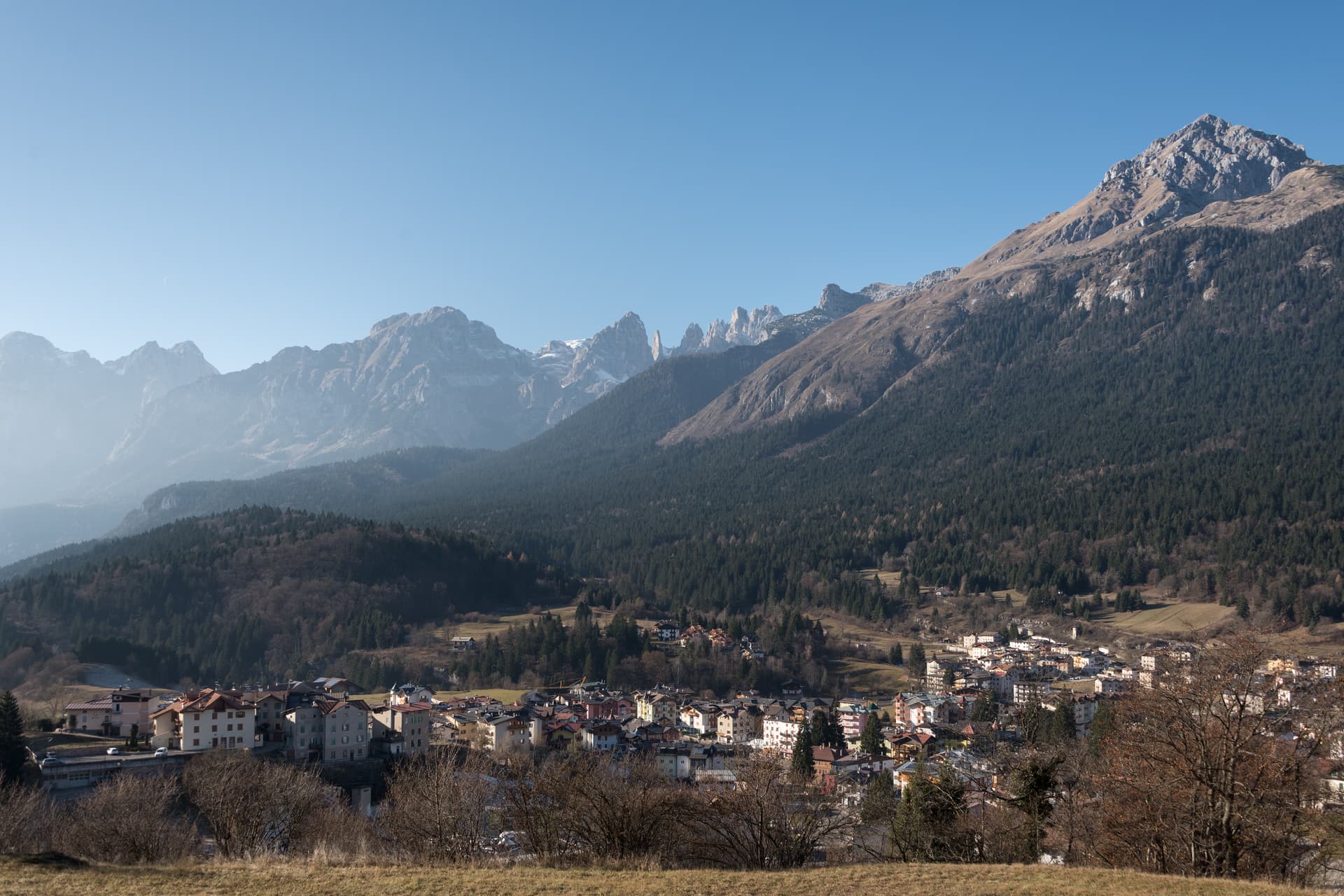
Andalo
Province: Trento
An alpine pass at 1,042 metres on the Paganella plateau, with the Brenta Dolomites on one side and a periodic lake that empties and refills.
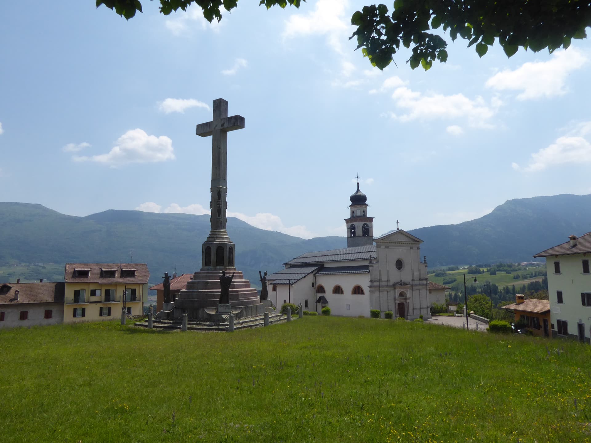
Bleggio Superiore
Province: Trento
A scattered Giudicarie commune whose hilltop hamlet of Rango holds the Christmas markets, with a Slow Food walnut grown on the terraces below.
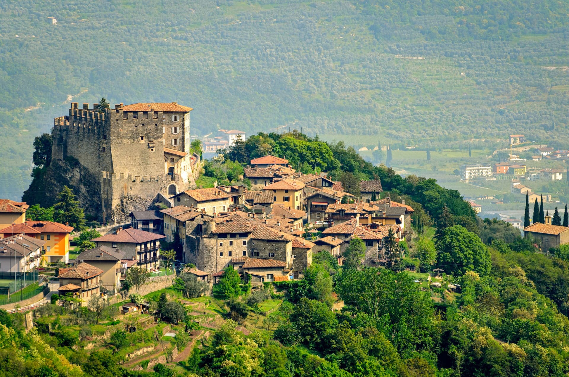
Tenno
Province: Trento
A hillside commune at 428 metres above Lake Garda, with a medieval stone hamlet, a turquoise lake, and the northernmost olive groves in Europe.
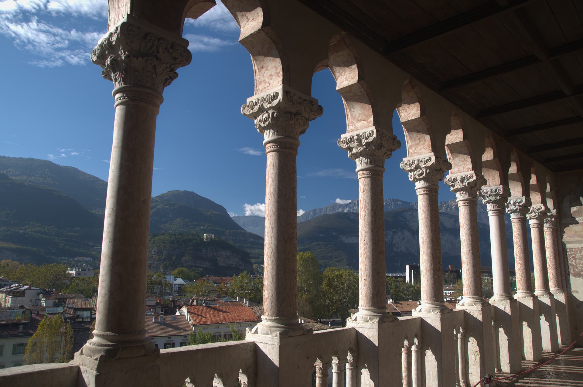
Trento
Province: Trento
The Alpine capital on the Adige at 194 metres, where the Council that reshaped the Catholic Church met in a castle still standing above the city.
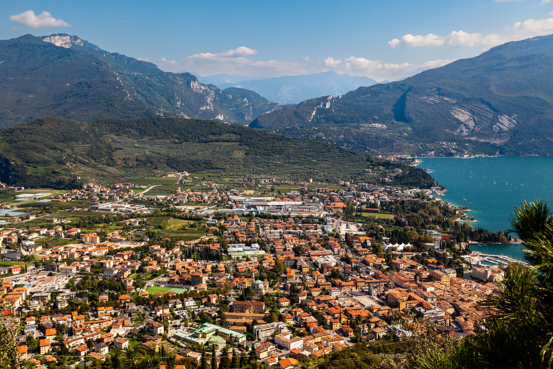
Riva del Garda
Province: Trento
The north tip of Lake Garda at 73 metres, where the Trentino mountains close in on the water and a Habsburg port town stayed bilingual into the twentieth century.
🟠 Bandiera Arancione
More Bandiera Arancione towns in Trentino-Alto Adige/Südtirol
Levico Terme
Province: Trento
A Habsburg spa town in the Valsugana at 520 metres, with arsenic-iron thermal waters, an English park and a Blue Flag lake at the edge of the centre.

Sterzing
Province: Bolzano
A bilingual mining town at 948 metres on the Brenner road, where a 46-metre tower built in 1472 still divides the old town from the new.