

Aosta Valley · Aosta Valley
Ayas
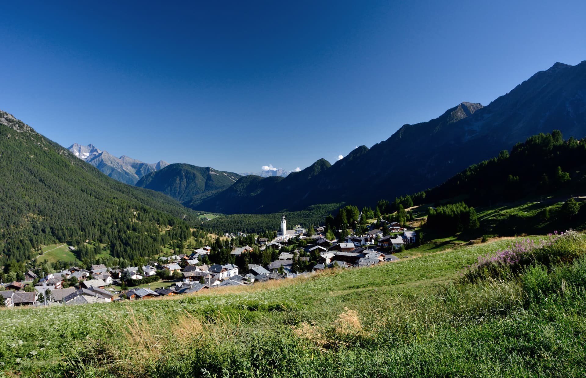
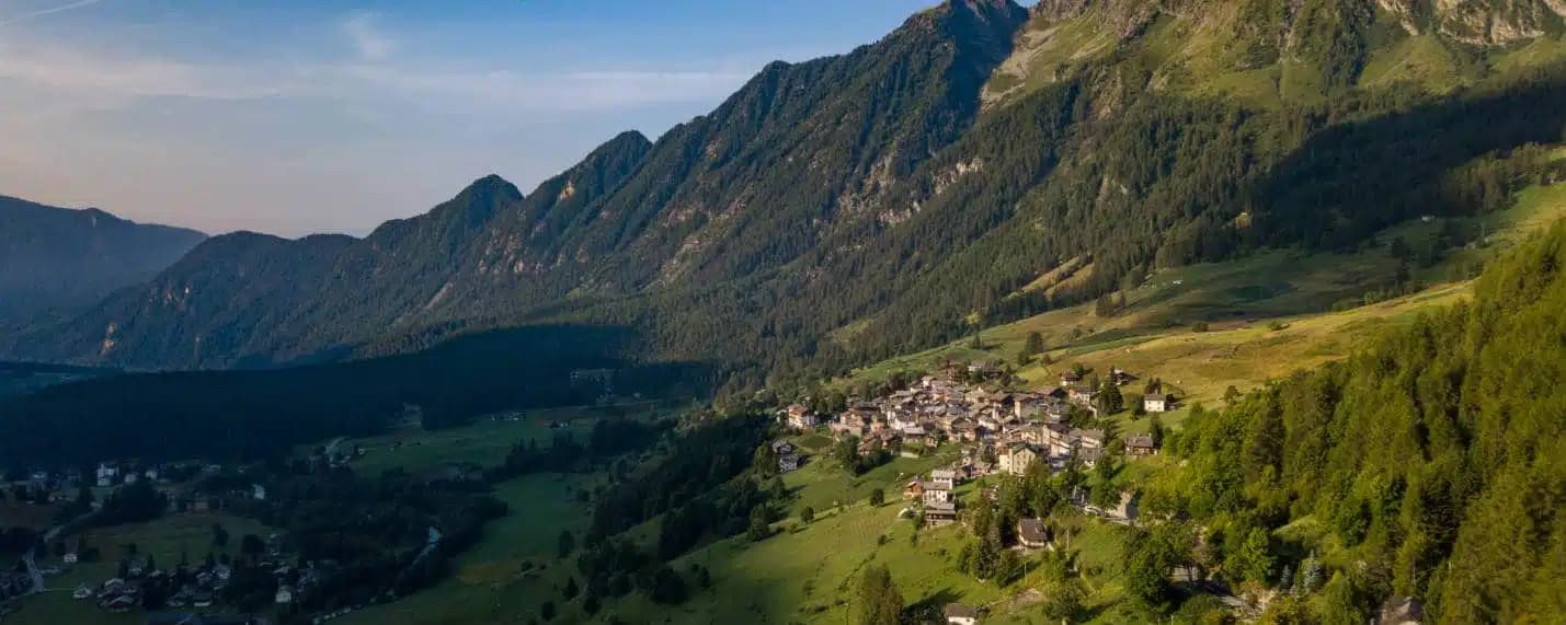
A scattered upper-valley commune of three villages under the Monte Rosa, where Walser settlers and Romance-speaking herders share the slopes below Castor and Pollux.
Known for
MONTE ROSA
The 4,000-meter peaks of Castor, Pollux and the Breithorn close the valley head, fed by the Verra glacier.
MONTEROSA SKI
Champoluc is one of the three main valleys of the lift-linked domain, sharing 180 kilometers of pistes with Gressoney and Alagna.
WALSER ROOTS
Saint-Jacques-des-Allemands carries the name of the thirteenth-century German-speaking settlers who crossed the Theodul Pass from Valais.
When to visit
Best · Jun–Sep, Dec–Mar
- J
- F
- M
- A
- M
- J
- J
- A
- S
- O
- N
- D
- Best
- Hot or crowded
- Quiet
- Mostly closed
The festa: Martino di Tours, 11 November
Why come
Ayas runs along the upper Évançon valley at the foot of the Monte Rosa massif, with its municipal seat at Antagnod (1,710 meters) and its main resort centers at Champoluc (1,568 meters) and Saint-Jacques-des-Allemands at the valley head. The 1,357 residents are spread across these three villages and dozens of smaller hamlets. The peaks above the valley belong to the Monte Rosa: Castore (4,226m), Polluce (4,091m) and the Breithorn (4,165m), fed by the Verra glacier whose meltwater becomes the Évançon.
Saint-Jacques-des-Allemands carries its medieval name from German-speaking Walser settlers who crossed the Theodul Pass in the thirteenth century and farmed the upper slopes. Champoluc is the main lift station of the Monterosa Ski domain, connected by gondola and cable car across two cols to Gressoney-La-Trinité and Alagna Valsesia in Piedmont. Antagnod is the older village. The parish church of San Martino there holds a seventeenth-century polyptych altar.
The Sunday letter
We haven’t written Ayas’s letter yet.
One town every Sunday, with the photo, the food, the festa. Be there when this one comes up. Free, by Peter & Sophia from Pietrasanta.
By subscribing you agree to Substack’s Terms of Use, our Privacy Policy and our Information collection notice.
What to see
Chiesa di San Martino
Parish church in Antagnod with a seventeenth-century polyptych altar, the religious seat of the commune.
Monterosa Ski
Lift-linked ski domain reaching 3,250 meters, connecting Champoluc to Gressoney-La-Trinité and Alagna Valsesia across two cols.
Castore e Polluce
The 4,226-meter Castor and 4,091-meter Pollux, twin peaks of the Monte Rosa massif on the Italy-Switzerland border above the valley head.
Champoluc
Main resort village at 1,568 meters in a flat section of the upper valley, with the principal Monterosa Ski lift station.
Saint-Jacques-des-Allemands
Hamlet at the valley head whose medieval suffix records the thirteenth-century Walser settlement of these slopes.
Ghiacciaio del Verra
Glacier descending from the Breithorn and Castor, principal source of the Évançon torrent that drains the valley.
The slow-trip planner
Building a trip? Find where Ayas fits in a slow Italy circuit.
Answer five questions. We will shape a geographically coherent slow trip from the 1,000 Italian towns most travelers skip. Yours to save and share.
Living here
- Population 1,357
- Off the beaten pathi
- Pharmacy in town
- Nearest airport Turin, 1 h 35 min drive
- Regional capital Aosta, 1 h 3 min drive
Tags & datadesignations · numbers · sources
Recognised as
The numbers
- Elevation: 1710 m
- Population: 1,357
- Surface area: 129.42 km²
These figures were compiled from public directories — ISTAT, OpenStreetMap, Wikidata — and from the official listings of the guides named on this page. Town details change; verify with official sources before you travel.
Close by
More towns near Ayas
Saint-Vincent
Province: Aosta Valley
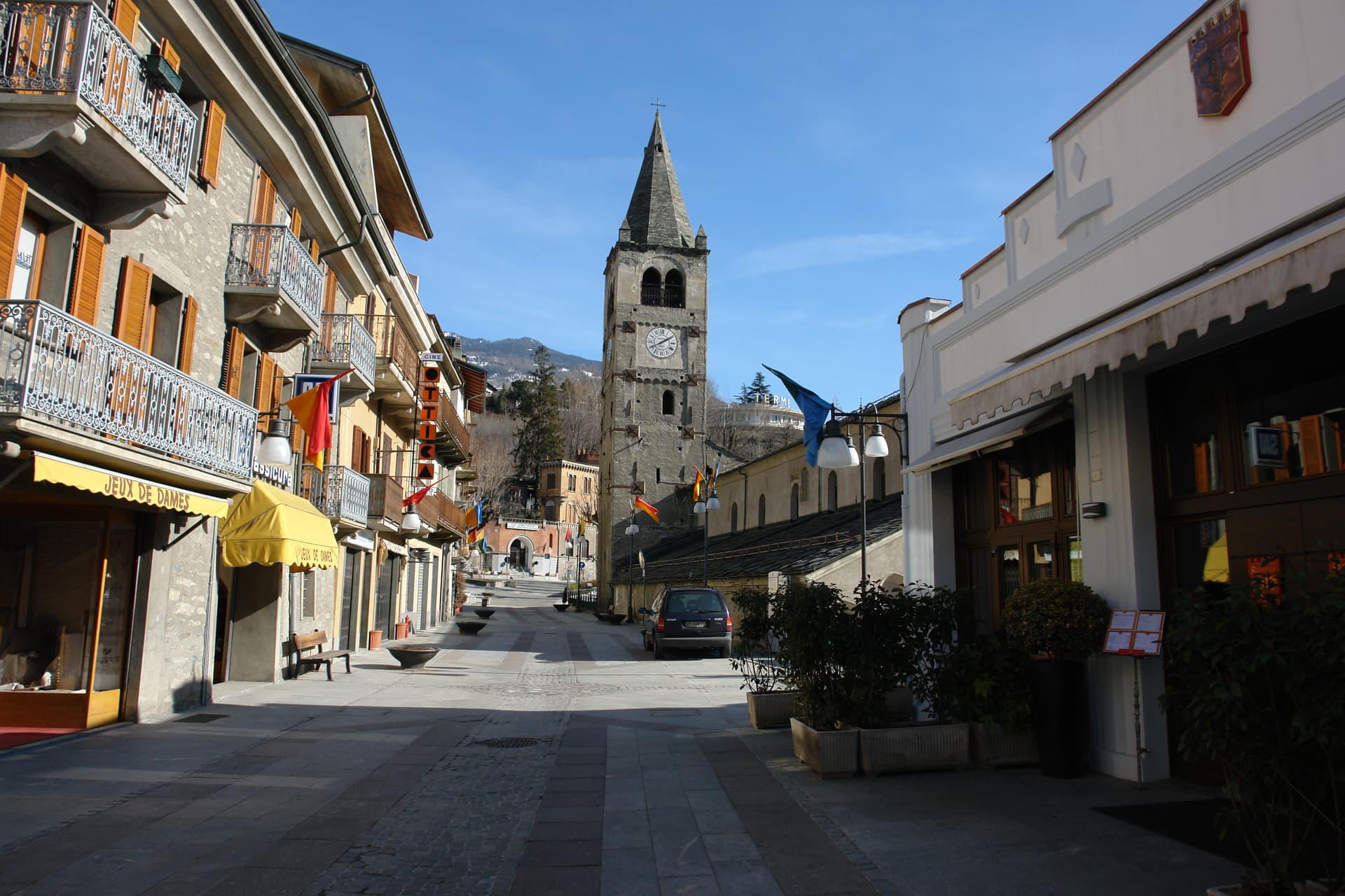
The Aosta Valley's belle-époque thermal town — a 4,400-resident commune on a sunny south-facing terrace at 575m with the Fonte Salée mineral spring (in use since 1770), the Casinò de la Vallée (Italy's second-largest legal casino since 1947), and the Matterhorn peak visible north of town.
Châtillon
Province: Aosta Valley
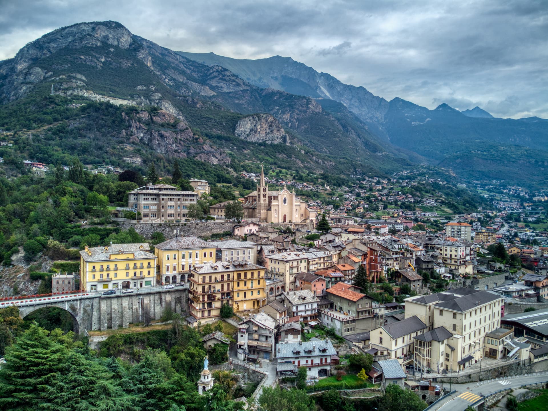
The Aosta Valley's three-castle commune — a 4,358-resident town at 549m at the mouth of the Valtournenche where it meets the main valley, with the Castello Gamba (now the Valle d'Aosta regional contemporary art museum), the medieval Castello di Ussel + the Renaissance Castello Passerin d'Entrèves, and direct access up the road to the Cervino/Matterhorn at Cervinia 26 km north.
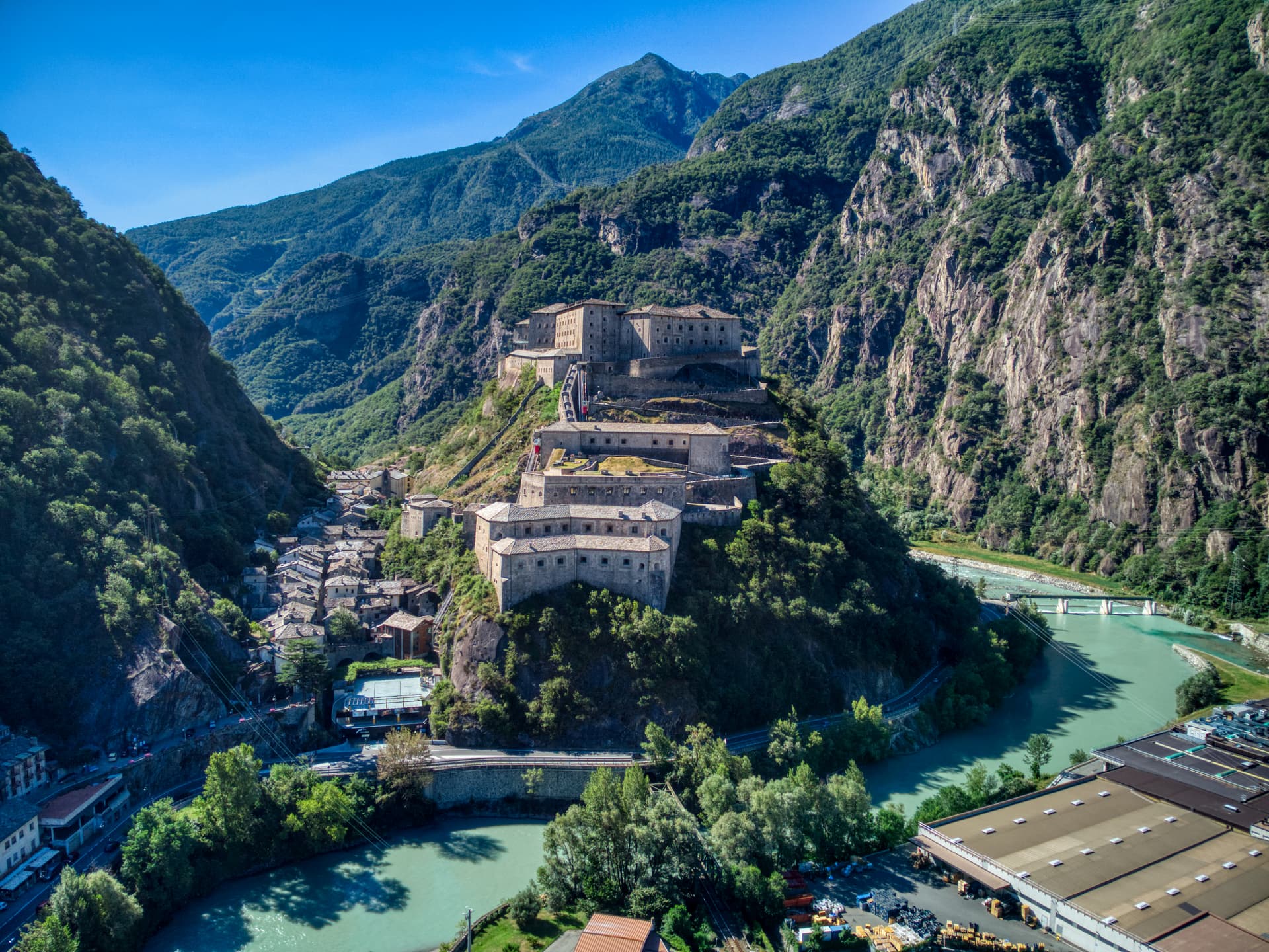
Bard
Province: Aosta Valley
A 108-person village under the largest Savoy fortress in the Alps, where 400 soldiers held off Napoleon's 40,000 for two weeks in 1800.
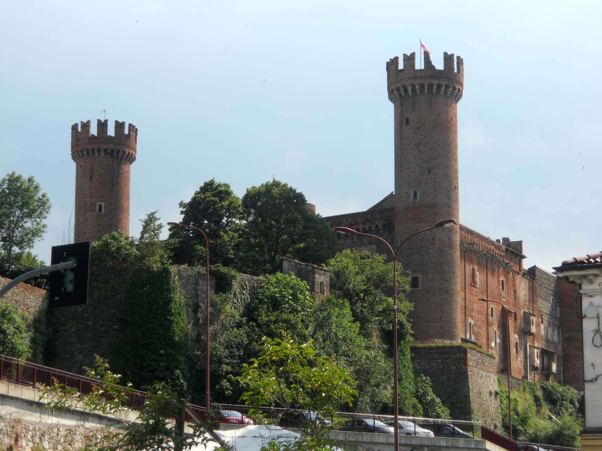
Ivrea
Province: Torino
Roman Eporedia on the Dora Baltea, Olivetti's twentieth-century industrial city, UNESCO since 2018, where every February three hundred tons of oranges are thrown.
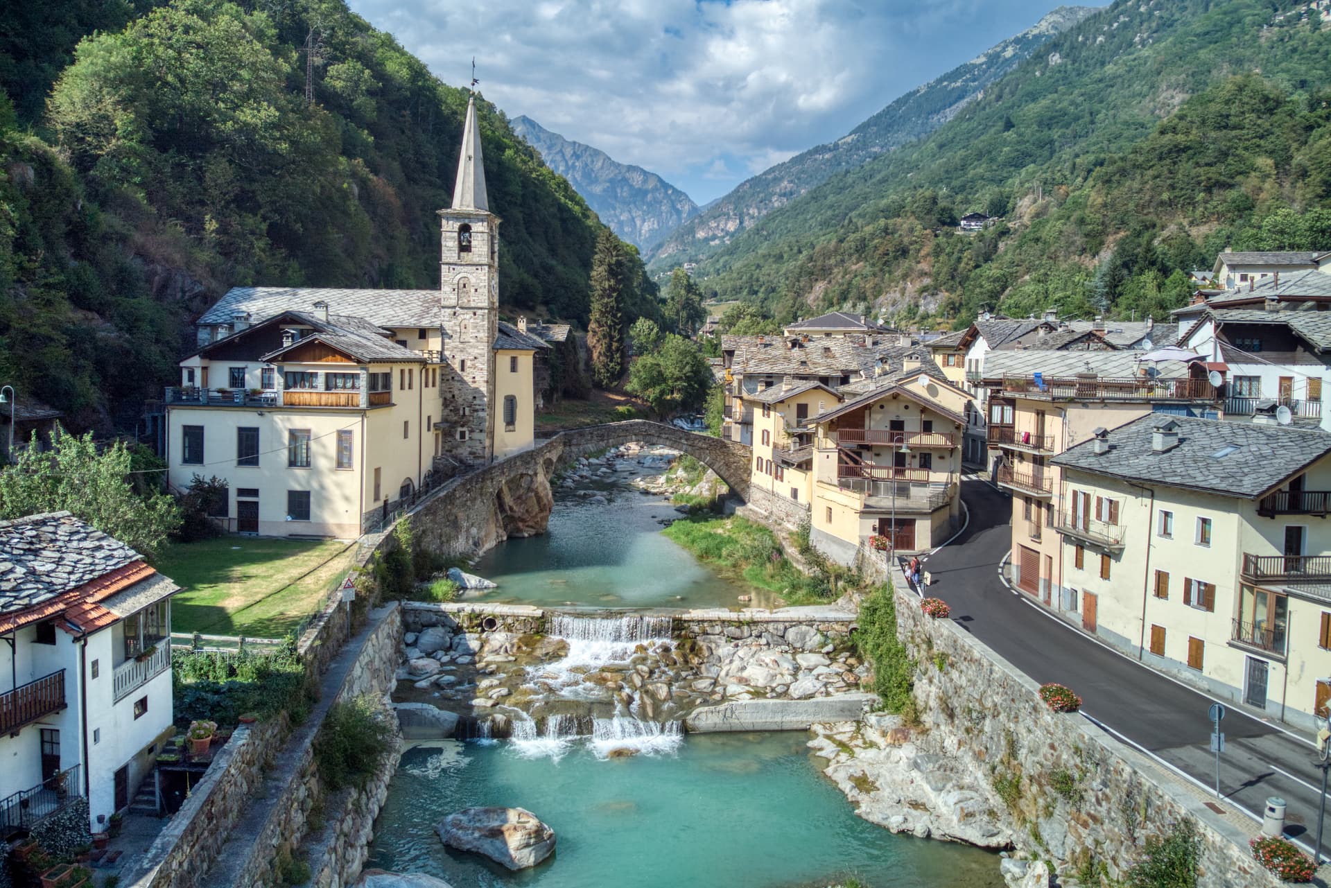
Fontainemore
Province: Aosta Valley
A 418-person Walser-influenced village at 760 metres in the Lys Valley, with a single-arch medieval bridge and a five-yearly pilgrimage to Oropa.
⛷️ Ski Area
More Ski Area towns in Aosta Valley
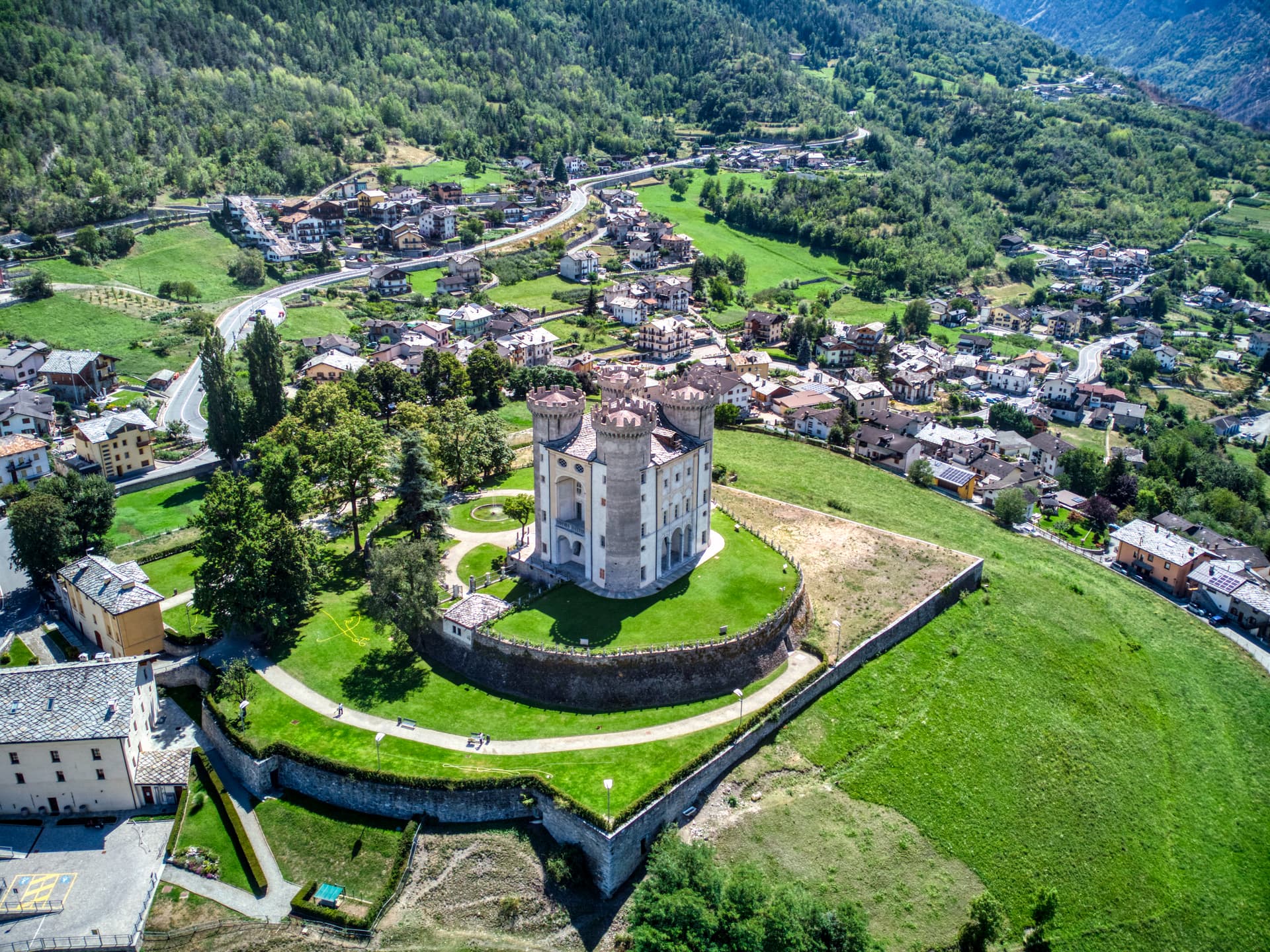
Aymavilles
Province: Aosta Valley
Gateway to the Gran Paradiso at 646 metres, with a four-towered Challant castle and a 3 BC Roman aqueduct above the Grand'Eyvia.
Cogne
Province: Aosta Valley
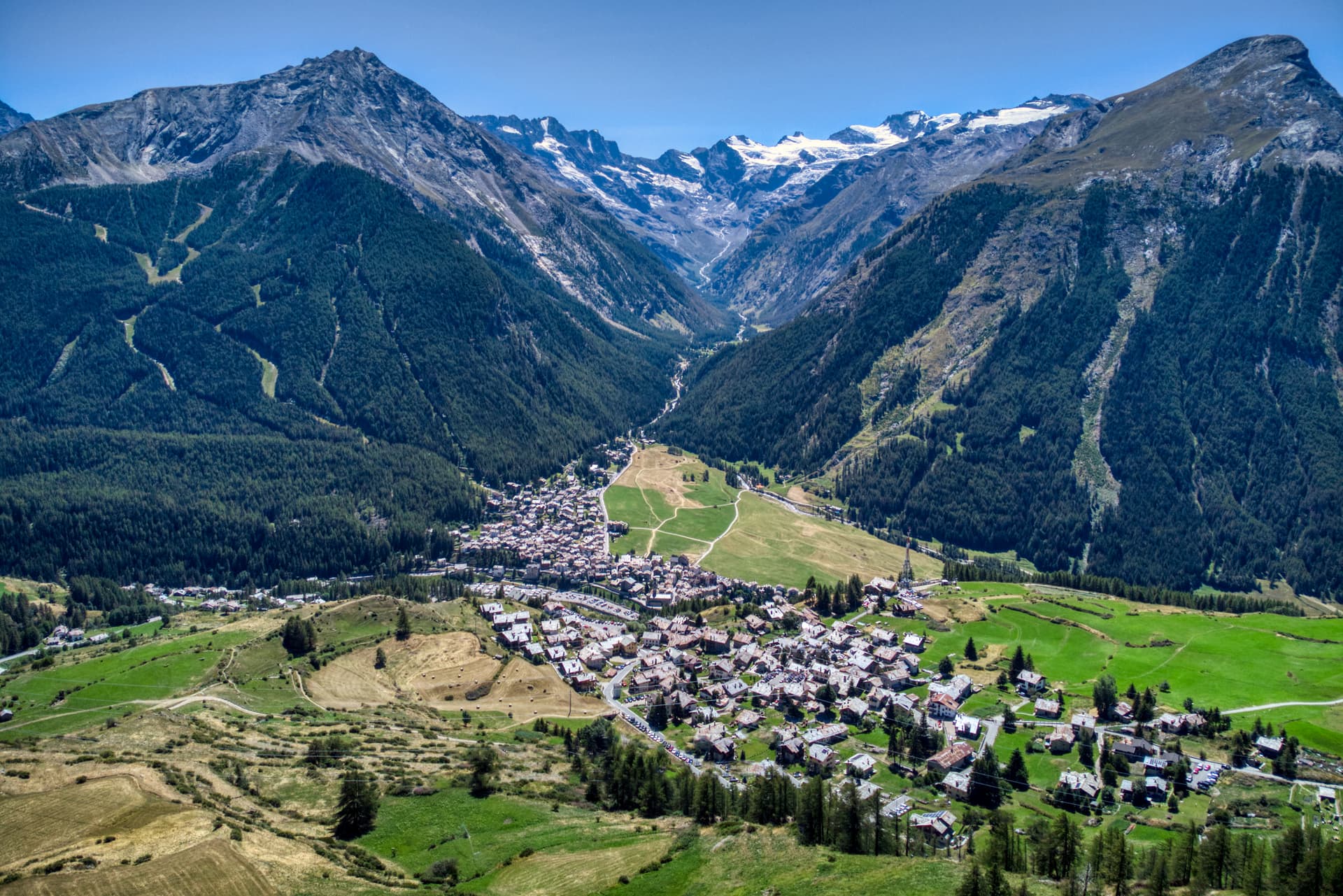
The mining town turned capital of the Gran Paradiso, the Aosta Valley's largest commune with 95 percent of its land inside Italy's oldest park.
Courmayeur
Province: Aosta Valley
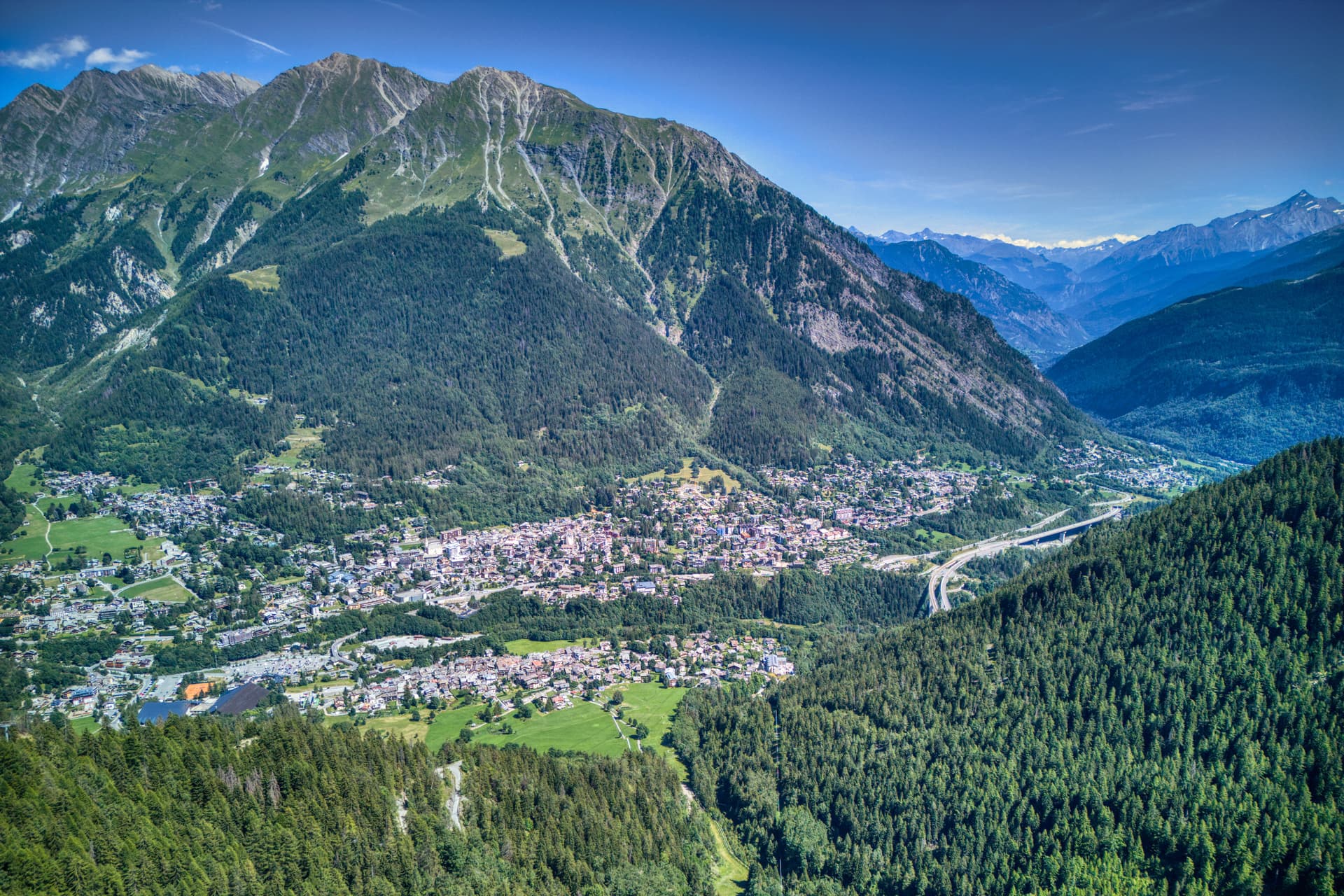
The Italian base of Mont Blanc, a Roman waystation on the Via delle Gallie that became the country's highest commune and its best-known ski address.
Gressoney-Saint-Jean
Province: Aosta Valley
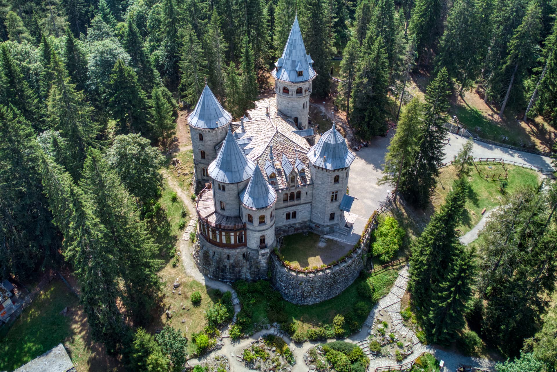
A Walser village in the Lys valley where Titsch is still spoken, Queen Margherita summered, and the Lyskamm glacier closes the view.
La Thuile
Province: Aosta Valley
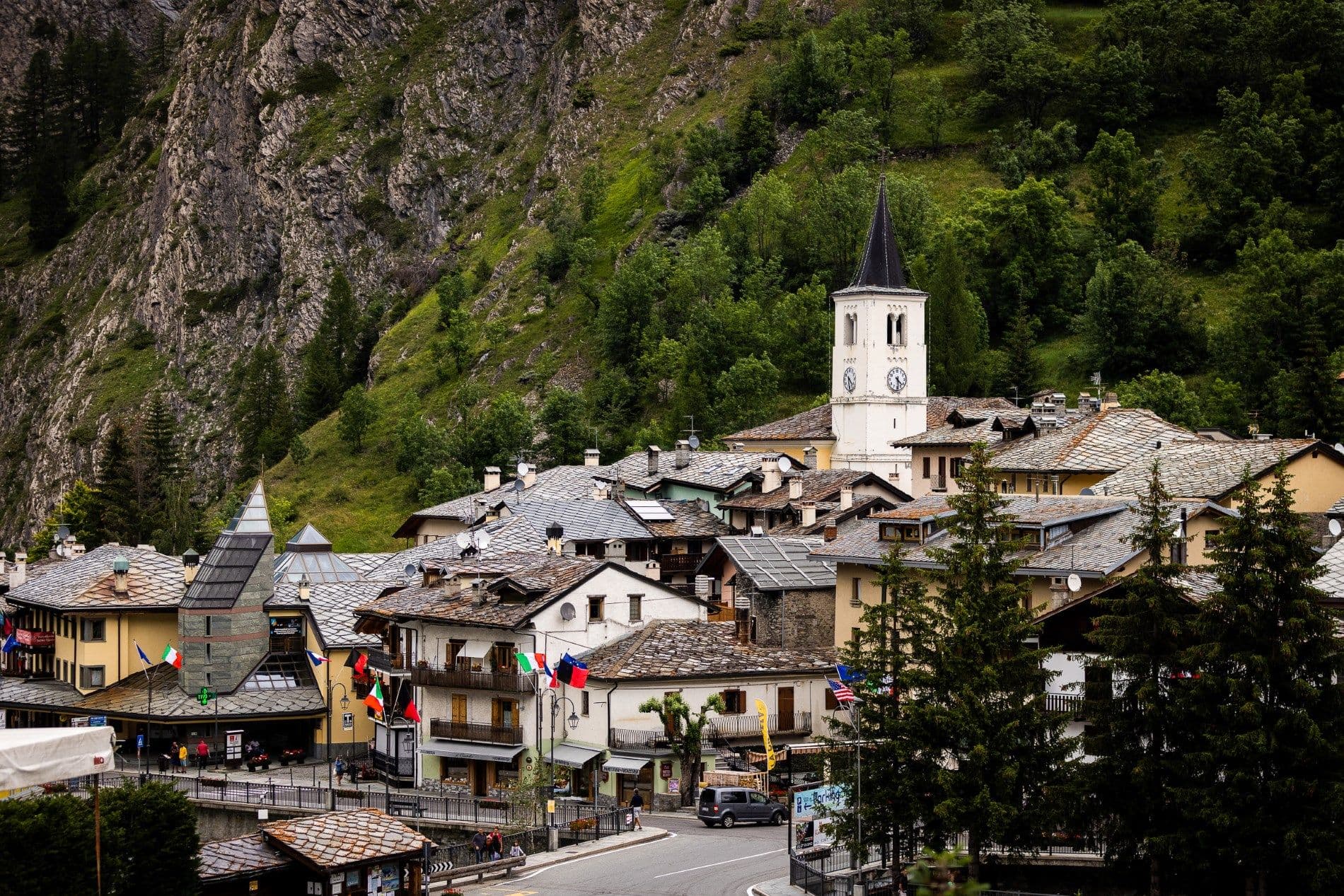
Italy's gateway to the Petit Saint-Bernard pass — a 1,441m alpine village under Mont Blanc with the Espace San Bernardo ski domain straddling the French border (152 km of pistes shared with La Rosière), the Rutor glacier and its tiered waterfalls behind it, and a Roman-Salassi history that goes back two millennia.